
Interstate 476 Pennsylvania
Overview
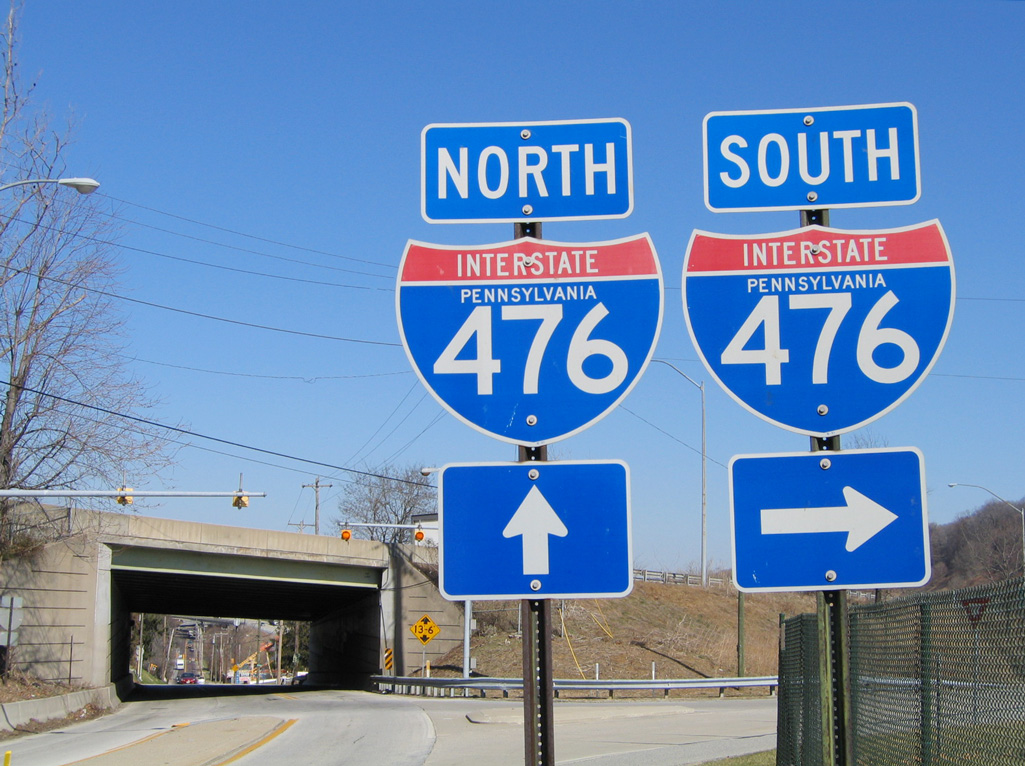
Interstate 476 begins at I-95 in urban Chester, Pennsylvania. The commuter freeway extends north along the Mid-County Expressway through the western suburbs of Philadelphia, to I-76 at Conshohocken and the Pennsylvania Turnpike (I-276) at Plymouth Meeting. This stretch of freeway is locally known as the "Blue Route", a nickname referencing the alignment selected during the planning process for the route. Ramp meters operate along the route as well.
Northward from Interstate 276, I-476 overlays the Northeast Extension of the Pennsylvania Turnpike to Allentown, Wilkes-Barre, Scranton and Interstate 81 at Clarks Summit. The tolled portion of the route serves both commuters in Montgomery County and travelers bound for the Pocono Mountains in northeastern Pennsylvania.
Originally only 21 miles in length, the initial length of the "Blue Route" was fully approved by the American Association of State Highway and Transportation Officials (AASHTO) on June 9, 1991 after completion of Interstate 476 between I-95 and Conshohocken. The freeway retained this length for less than five years, as further extension was approved in 1996 north to the vicinity of Scranton. At that time, I-476 became the longest three-digit Interstate highway in the system with approximately 130 miles. The route surpassed the previous longest three-digit Interstate route, I-495 around Boston, Massachusetts. Furthermore, several two-digit Interstate routes, such as I-12 in Louisiana, I-19 in Arizona, and I-97 in Maryland are all shorter than Interstate 476.
Mileage by State
| Pennsylvania | 131.50 mi |
Data Sources
December 31, 2025 Interstate Route Log and Finders List
Scranton Beltway
A $160 million project by the Pennsylvania Turnpike Commission will improve access between Interstate 81 and I-476 south and north of Scranton and convert the Northeast Extension to all electronic tolling (AET). The work is aimed to divert some of the through traffic away from I-81 in Scranton onto the Northeast Extension between Dupont and Clarks Summit. It was previously anticipated that a contract for design work could be awarded in January 2017, with construction projected to run through 2023.5 A revised preliminary design schedule was posted online on January 23, 2019. It outlined final design work from early 2021 to late 2022 with construction between early 2023 and late 2026. Temporarily halted due to COVID-19 and funding, preliminary engineering design work was scheduled to begin in early 2021. A revised schedule published online on June 10, 2021 indicated final engineering design from 2022 to 2024 and construction potentially starting in 2025. This however was ambitious thinking, as the final design work was pushed back until between 2026 and 2028, and potential construction is from 2030 to 2034.
Local officials advocated expansion of I-81 through the Scranton area in the mid 2000s, but costs were already estimated at $1 billion. The Scranton Beltway project provides a cheaper alternative to widening Interstate 81 from Nanticoke north to Clarks Summit. A subsequent study by PennDOT also concluded that improved accessibility to the Northeast Extension might shift 2,500 vehicles per day (vpd) away from I-81 north and 2,200 (vpd) away from I-81 south, including a potential of 80% or more of truck traffic. 2016 traffic counts on the northernmost section of I-476 top out around 10,000 vpd, while the busiest stretch of I-81 to the east peaks at 70,000 vpd.5
One action indicated within the Scranton Beltway Feasibility Study7 to both better utilize I-476 and reduce congestion along I-81 would be the renumbering of I-476 as a branch of Interstate 81:
Updating existing and providing additional signage could further enhance the utilization of the connections and I-476. In addition, formalizing the Beltway by providing a dual designation (i.e. I-476/I-381) to notify motorists that I-476 provides an alternate route to I-81 could further increase utilization.
Parallel U.S. Routes
The Northeast Extension section of Interstate 476 travels west of former U.S. 611 between Philadelphia and Scranton. U.S. 611 was decommissioned in 1972, with portions of the route renumbered as PA 611 and PA 435. U.S. 309 paralleled the Turnpike north from the Fort Washington Expressway to Quakertown before crossing paths with I-476 at Allentown. Downgraded to a state route in 1968, the historic U.S. highway looped west and north from the Interstate 476 corridor to Hazleton and Wilkes-Barre. U.S. 11 runs along I-81 within the vicinity of I-476 between Wilkes-Barre and Scranton.
History
Prior to 1964, the Pennsylvania Turnpike mainline and Schuylkill Expressway in Philadelphia were designated as Interstate 80S. As such, the branch routes in the Philadelphia area were proposed as I-280 for the Pennsylvania Turnpike east from Valley Forge (current I-276), I-480 for the Mid-County Expressway (I-476), and I-680 for the loop through South Philadelphia and across the Walt Whitman Bridge (I-676, before I-76 switched places with I-676 along the Vine Street Expressway).
Early plans for a limited access route through the west Philadelphia suburbs called for a toll road. Dubbed the Chester Extension, the Pennsylvania Turnpike branch was projected to run south from Plymouth Meeting to Chester. The Federal Highway Act in 1956 shifted jurisdiction of the corridor away from the PA Turnpike Commission to the Pennsylvania Department of Highways.2
Mid-County Expressway
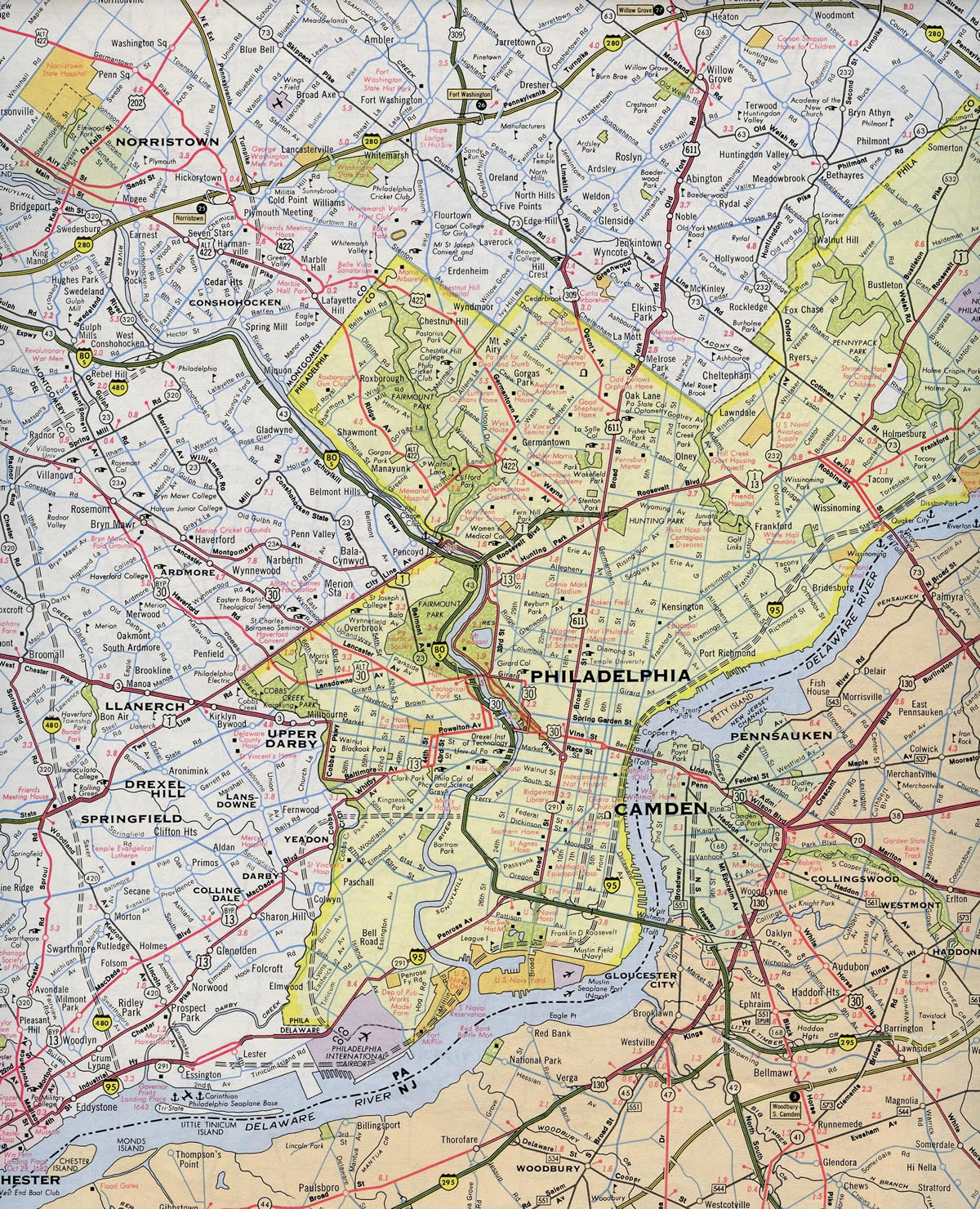
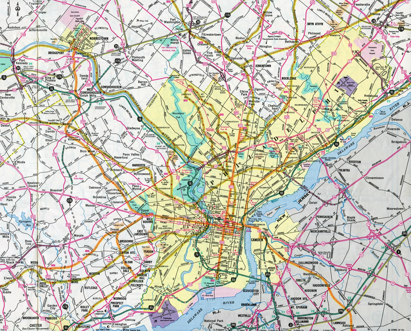
Interstate 476 was originally programmed along the Mid-County Expressway, or "Blue Route" between Interstate 95 and the mainline Pennsylvania Turnpike interchange with the Northeast Extension. The Blue Route was one of three alternatives considered for the expressway (see a map of the routes at PAHighways and on the AARoads Forum). Initial construction of I-476 resulted in the completion of two unused roadways by 1978 in the Broomall and Radnor areas. These roads sat idle for many years due to environmental protests and rising construction costs. The first segment opened to traffic was the section between Interstate 76 at Conshohocken and Chemical Road at Plymouth Meeting in 1979.2

Construction of the remaining Mid-County Expressway, however, would be placed on hold until 1985 due to red tape and community opposition.2 Thus, several compromises were made to the overall design of the highway between Interstate 76 and I-95. Of these, various sections were redesigned to better blend into the natural landscape, with the southernmost portion of highway reduced in lanes from six to four. If it were not for these changes, the highway project may have been scrapped.
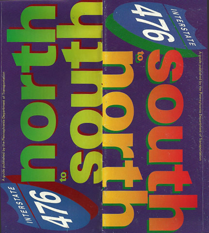
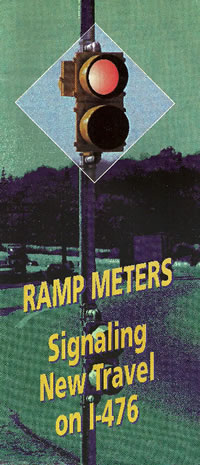
The southern terminus interchange with I-95 was constructed in 1975. It was not used by drivers until August 17, 1988,2, when the MacDade Boulevard connector, a three-quarters of a mile segment of freeway linking I-95 with MacDade Boulevard at Woodlyn, opened to traffic. Signs for at the semi-directional T interchange referenced "To MacDade Boulevard" until December 19, 19912, when Interstate 476 was completed between MacDade Boulevard (Exit 1) and I-76 (Exit 16).
The final segment of I-476 opened was the direct connection to the Northeast Extension (PA 9 at the time) and Interstate 276. This short segment of highway includes a large toll plaza and directional cloverleaf interchange at I-276. Replacing a tight trumpet interchange between I-276 and PA 9, construction on the three-level interchange with I-476 commenced in late 1989. It was opened on December 16, 1992.2
Pennsylvania Turnpike Northeast Extension
Interstate 476 feeds directly into the Northeast Extension of the Pennsylvania Turnpike. Previously designated as Pennsylvania Route 9, the tollway provided a connection between Philadelphia, Allentown and Scranton. It opened to traffic in stages from November 1955 to November 1957,2 only a year after the last mile of the mainline Pennsylvania Turnpike was finished. For more on the history of the Pennsylvania Turnpike, visit Pennsylvania Turnpike History (Official Site) and Pennsylvania Highways: Interstate 476.
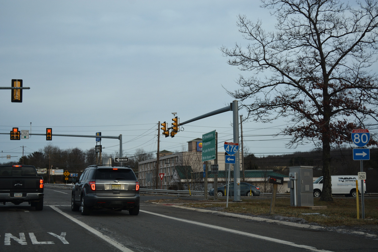
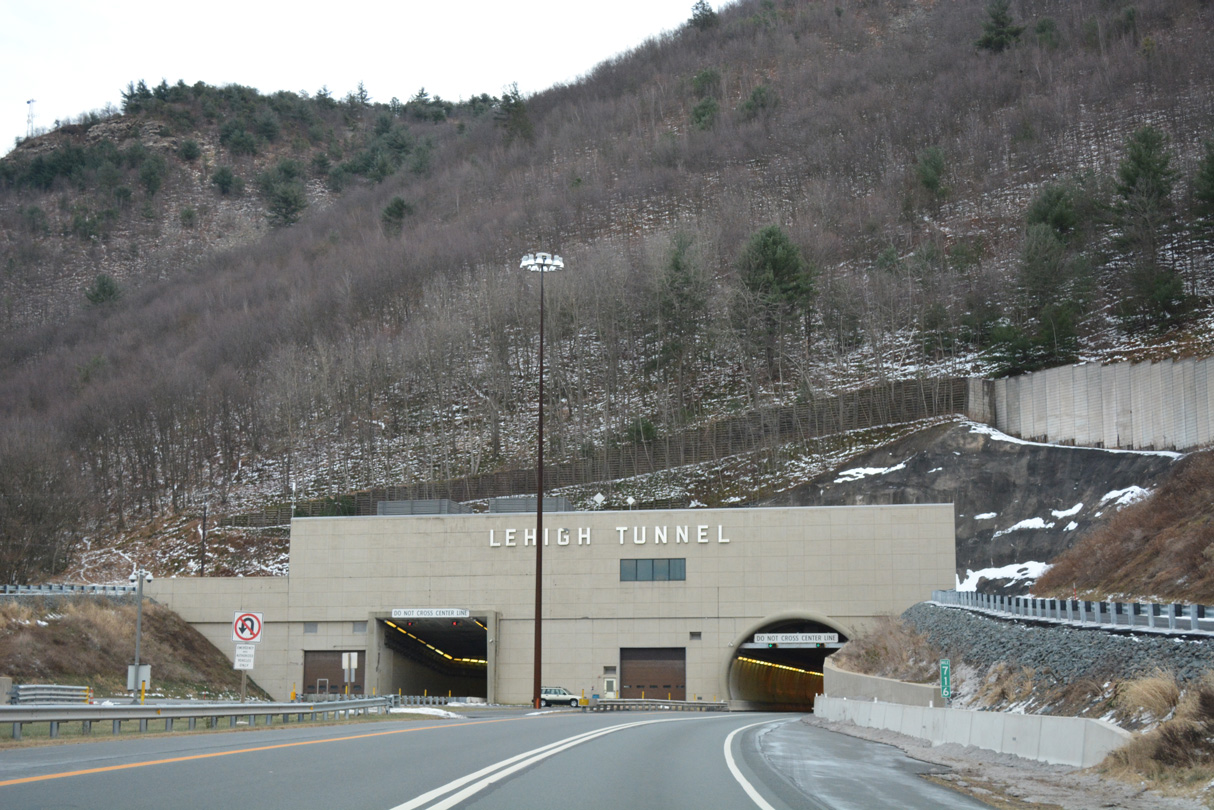
Plans arose to give the Blue Route and the Northeastern Extension a common designation. However, PA 9 did not meet Interstate standards due to a two lane section at the Lehigh Tunnel. Construction of a 4380-foot long second bore for the Lehigh Tunnel addressed that issue when it started on February 14, 1989. The new southbound lanes for PA 9 were completed on November 22, 1991.1
This action removed the bottleneck along PA 9 and was the catalyst to redesignate the Northeast Extension as an Interstate Highway. The extension of Interstate 476 was initially disapproved by the American Association of State Highway and Transportation Officials (AASHTO) on November 11, 1994, due to concerns about the designation "476," the somewhat substandard design of the route, and the lack of Federal Highway Administration approval. To that end, transportation planners again submitted plans to unify the entire route under one number, and on April 23, 1995, AASHTO approved the extension of Interstate 476 from I-276 north to I-81 near Dickson City via former PA 9. The Interstate designation was approved by the Federal Highway Administration (FHWA) on November 1, 1996, and signs were erected immediately thereafter. The Interstate continuity provides traffic from the Interstate 95 corridor with a seamless link to Scranton and points north.
The new Jim Thorpe/Lake Harmony interchange opened to traffic along Interstate 476 (Northeast Extension) on July 7, 2015. The E-ZPass-only exit for PA 903 uses all electronic toll (AET) collection with no toll by plate options. The exchange cost $40 million to build.6
North End 

 ‐ Clarks Summit, PA

 North at
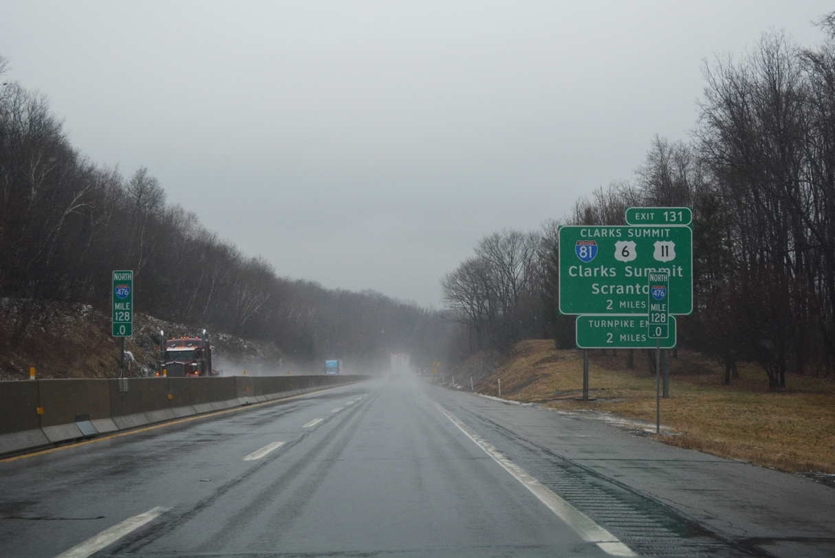
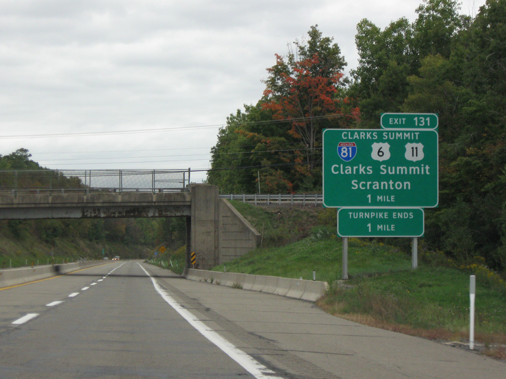
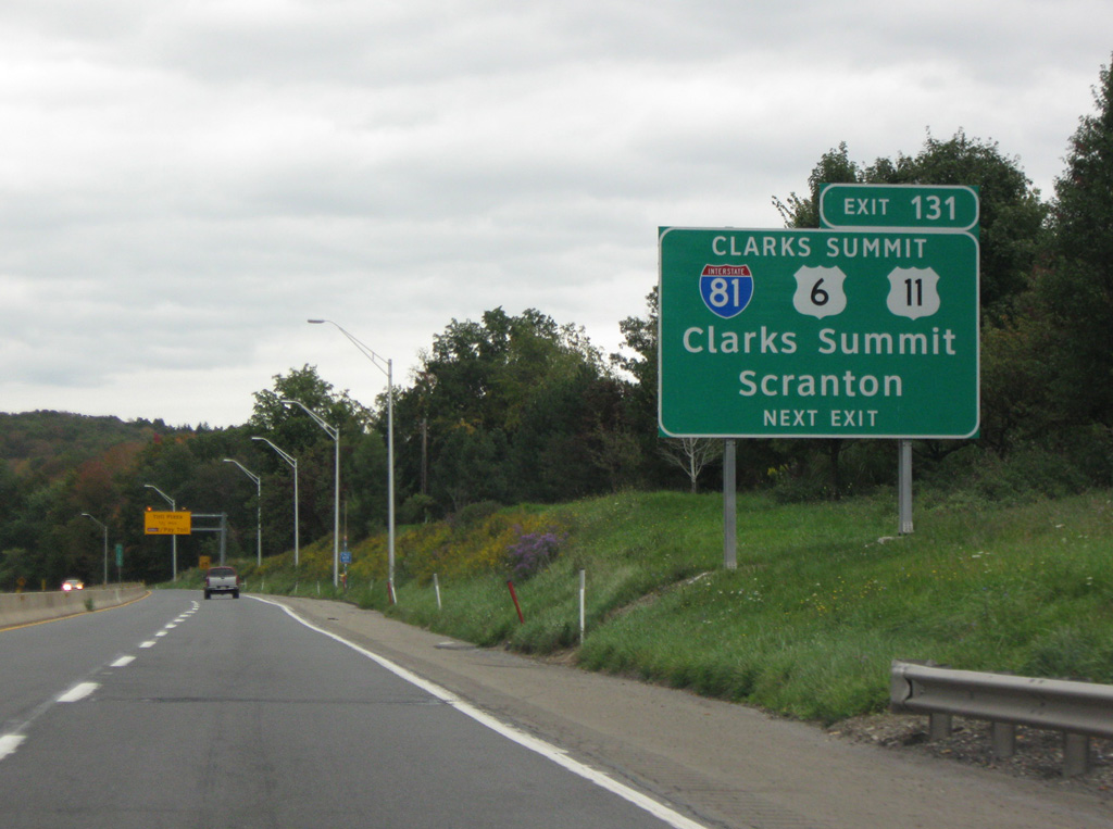
Interstate 476 hooks northeast through South Abington Township on the final two miles of the Pennsylvania Turnpike Northeast Extension. 01/17/17
South at
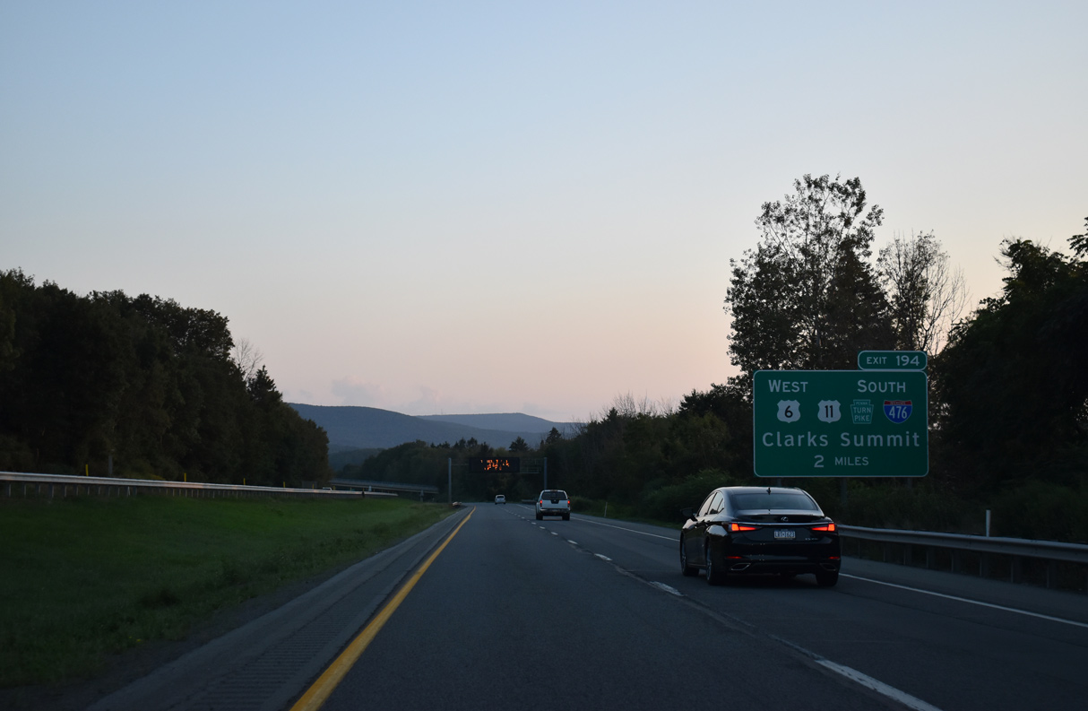
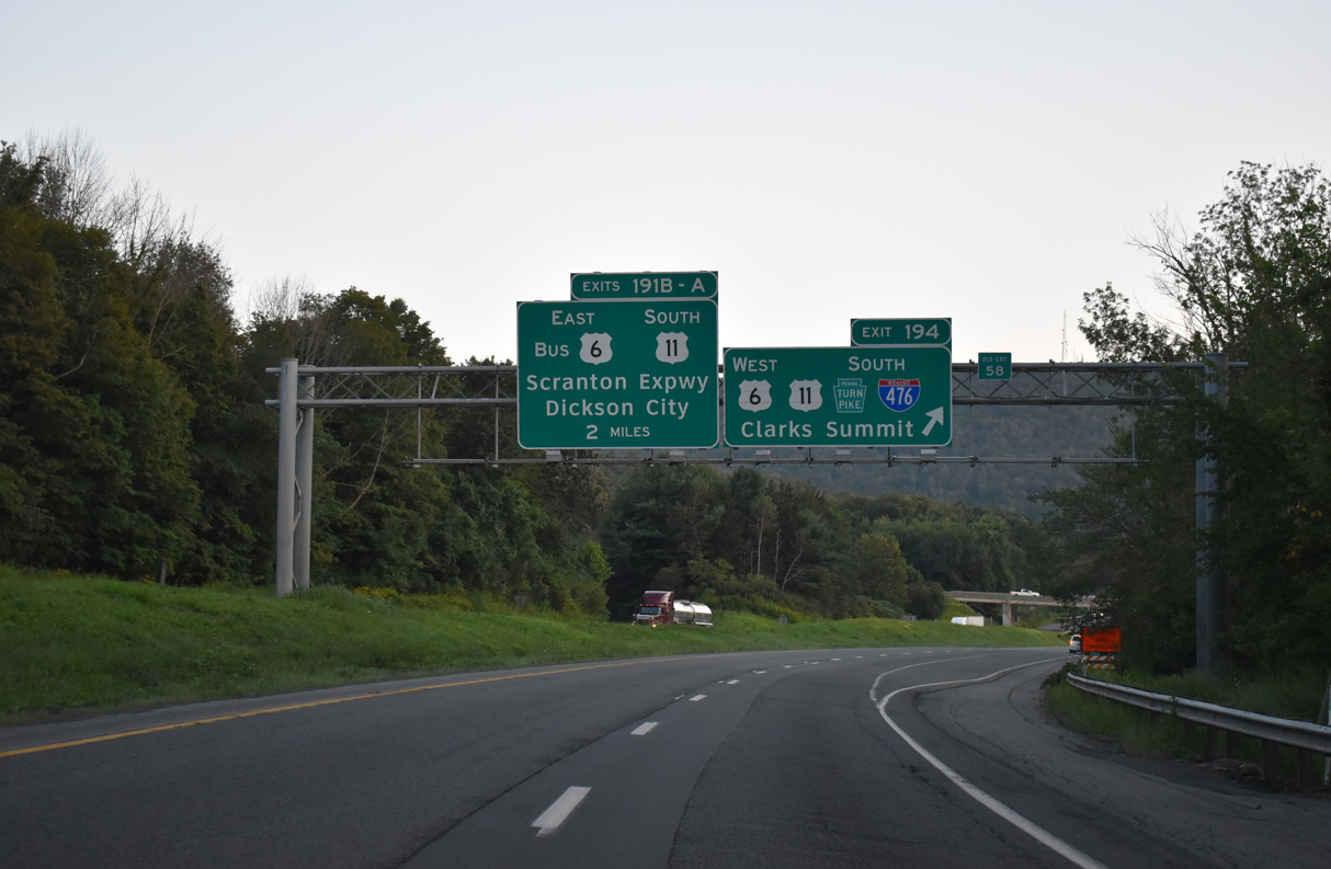
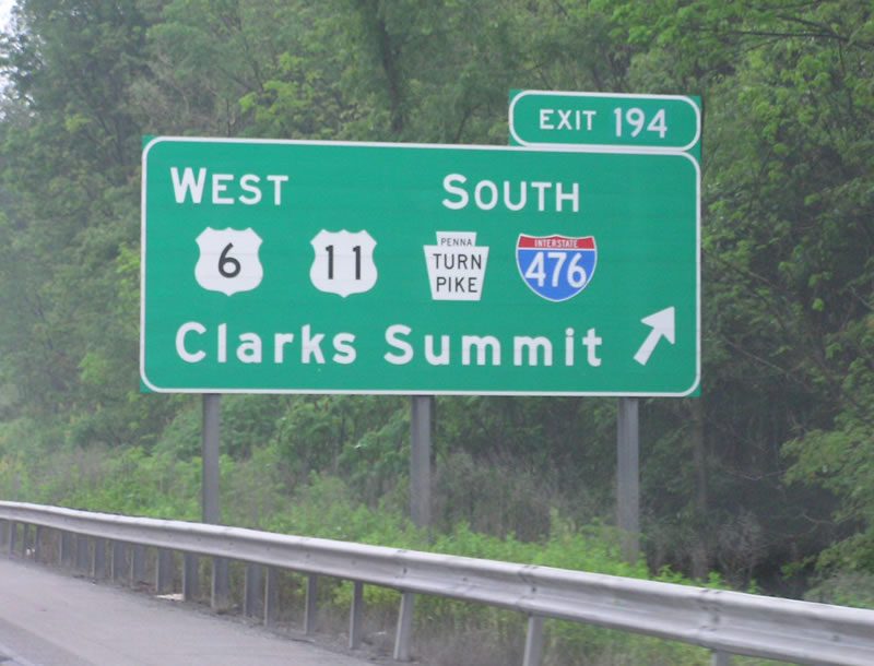
Traveling east of the boroughs of Clarks Green and Clarks Summit, Interstate 81 passes by several subdivisions two miles ahead of Exit 194 with the Pennsylvania Turnpike access road (U.S. 6) for I-476 south and U.S. 11. 08/24/21
North West at
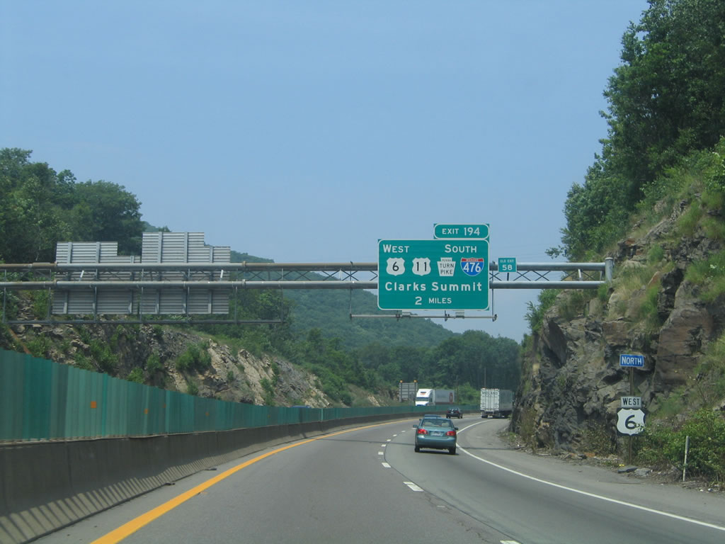
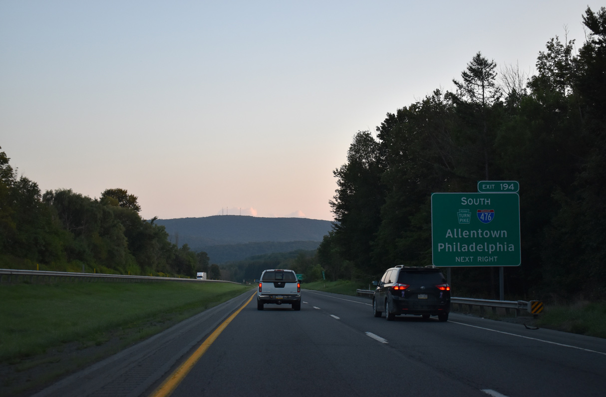
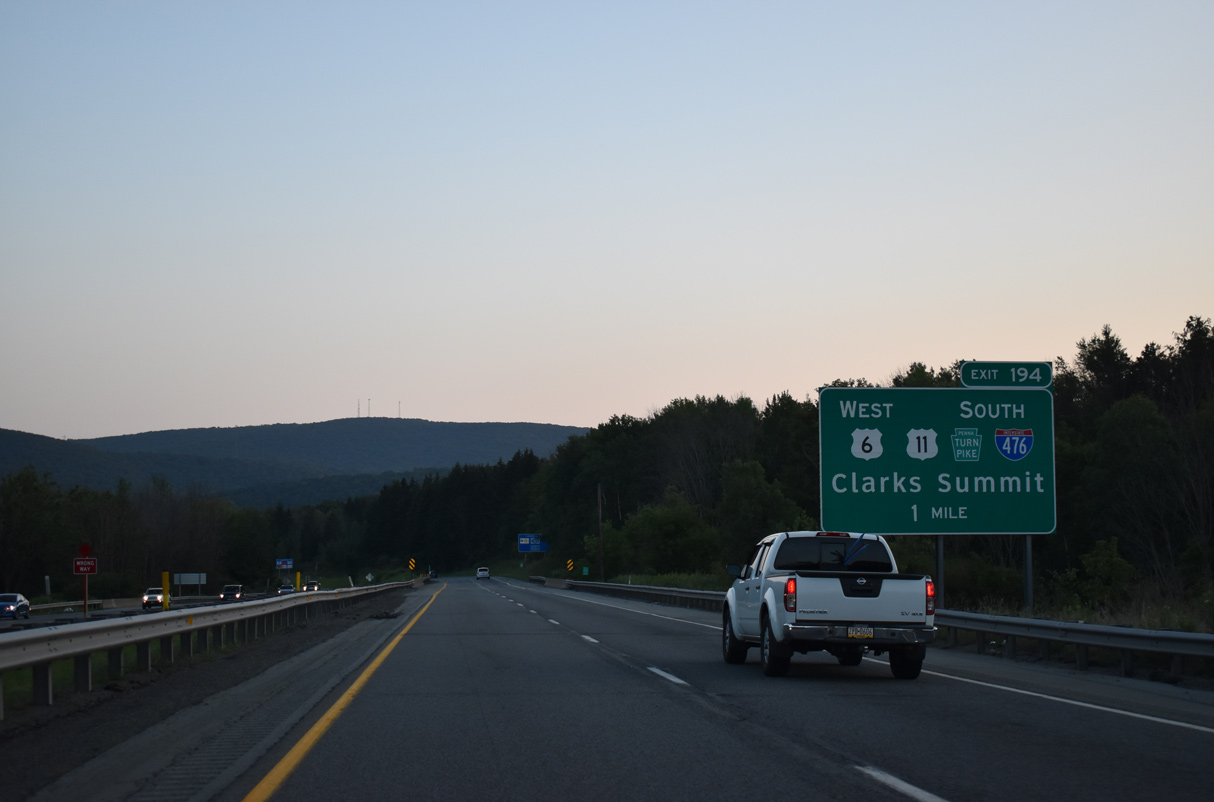
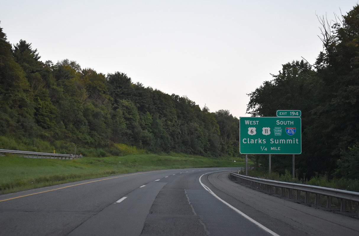
Interstate 81/U.S. 6 circumvent Bell Mountain northwest from Dickson City to South Abington Township and the exchanges with I-476 and U.S. 11. The two-mile sign bridge here was removed during construction to expand the freeway footprint outwards in 2014. 07/01/05
at
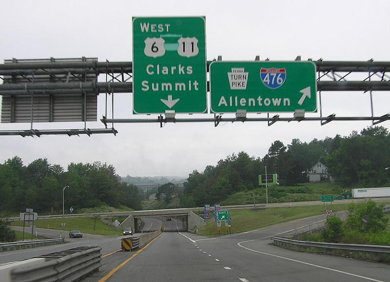
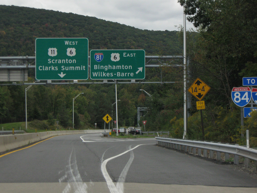
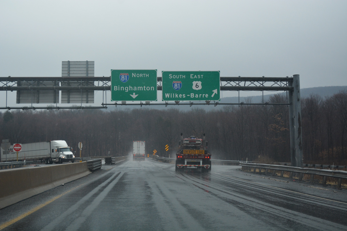
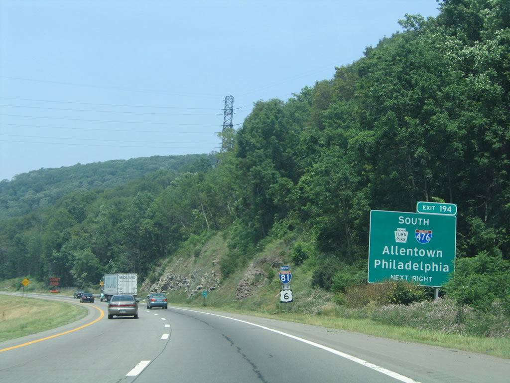
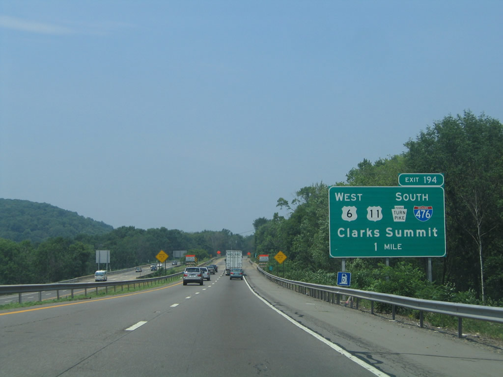
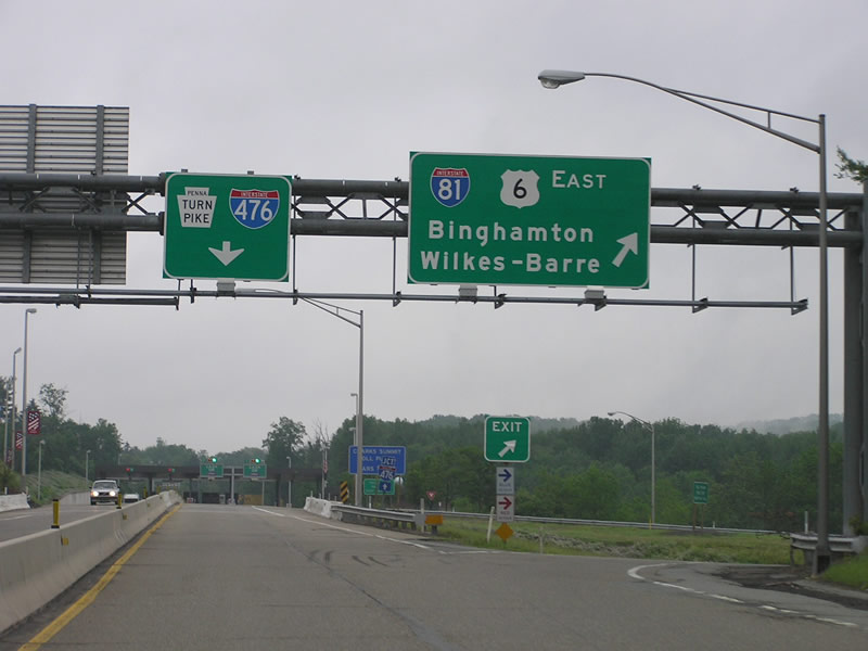
Traffic from both I-81 north and south bound for I-476 combines ahead of a trumpet interchange with the Northeast Extension mainline. The immediate ramp leads south to Wilkes-Barre while U.S. 6 uses the second ramp to follow the ending turnpike mainline at U.S. 11. Photo by Chris Elbert (07/06).
North End – Past Views
Past Views Gallery (Tap to Expand / Collapse Section)
South at
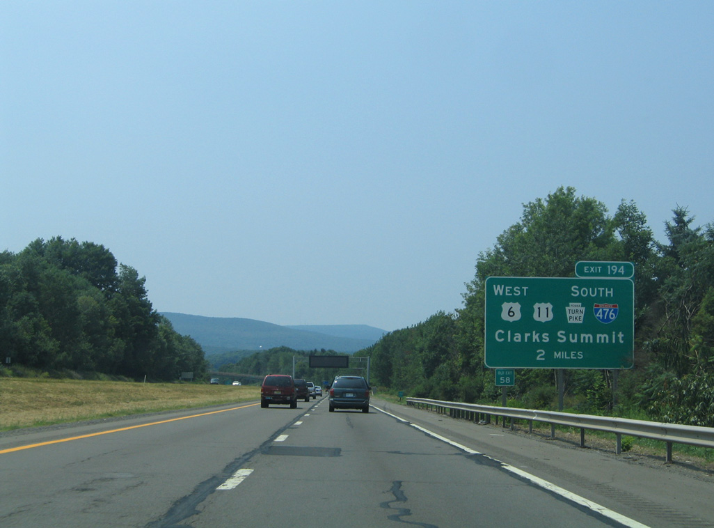
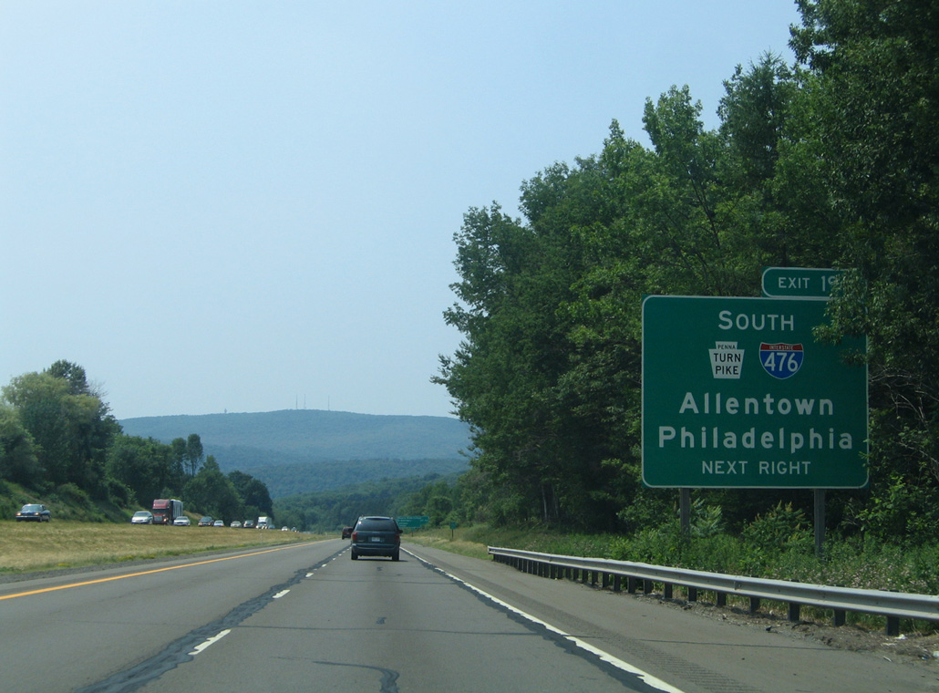
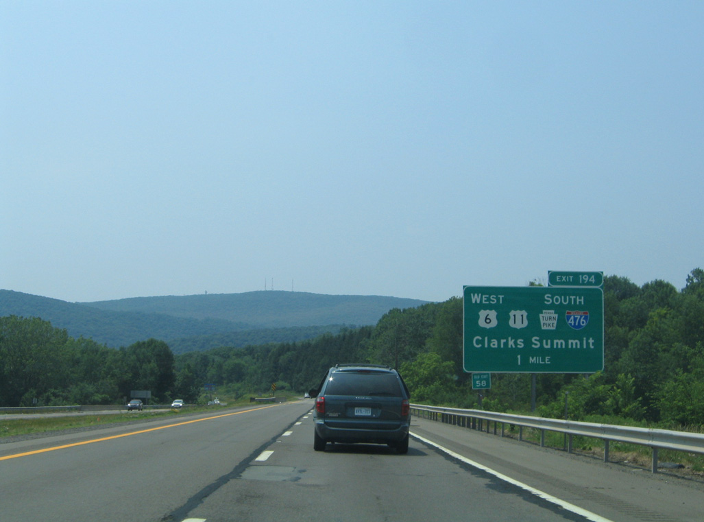
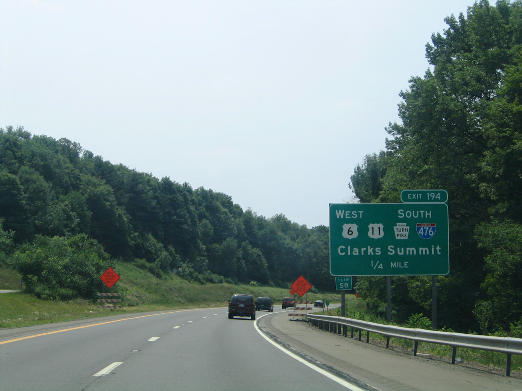
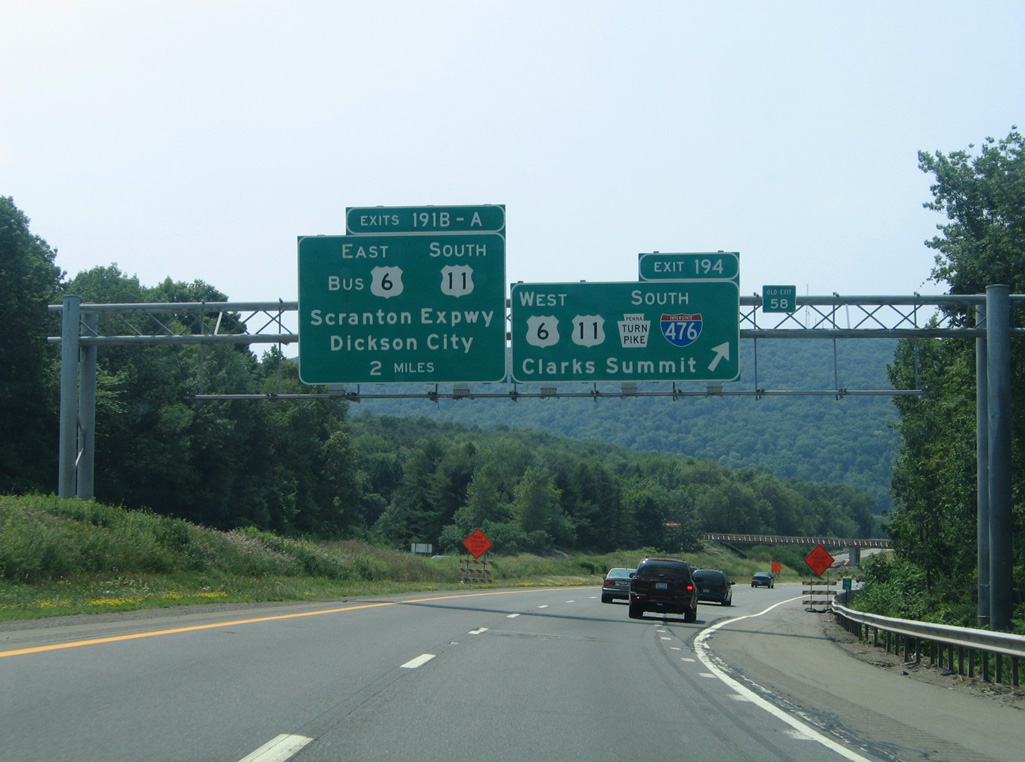
All guide signs for Exit 194 on I-81 south were carbon copied to use Clearview font by 2012. 07/04/05
South End  ‐ Chester, PA
South at
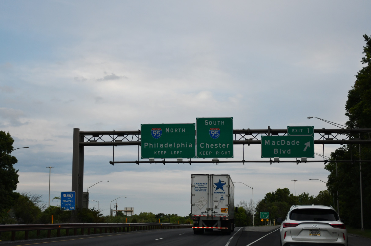
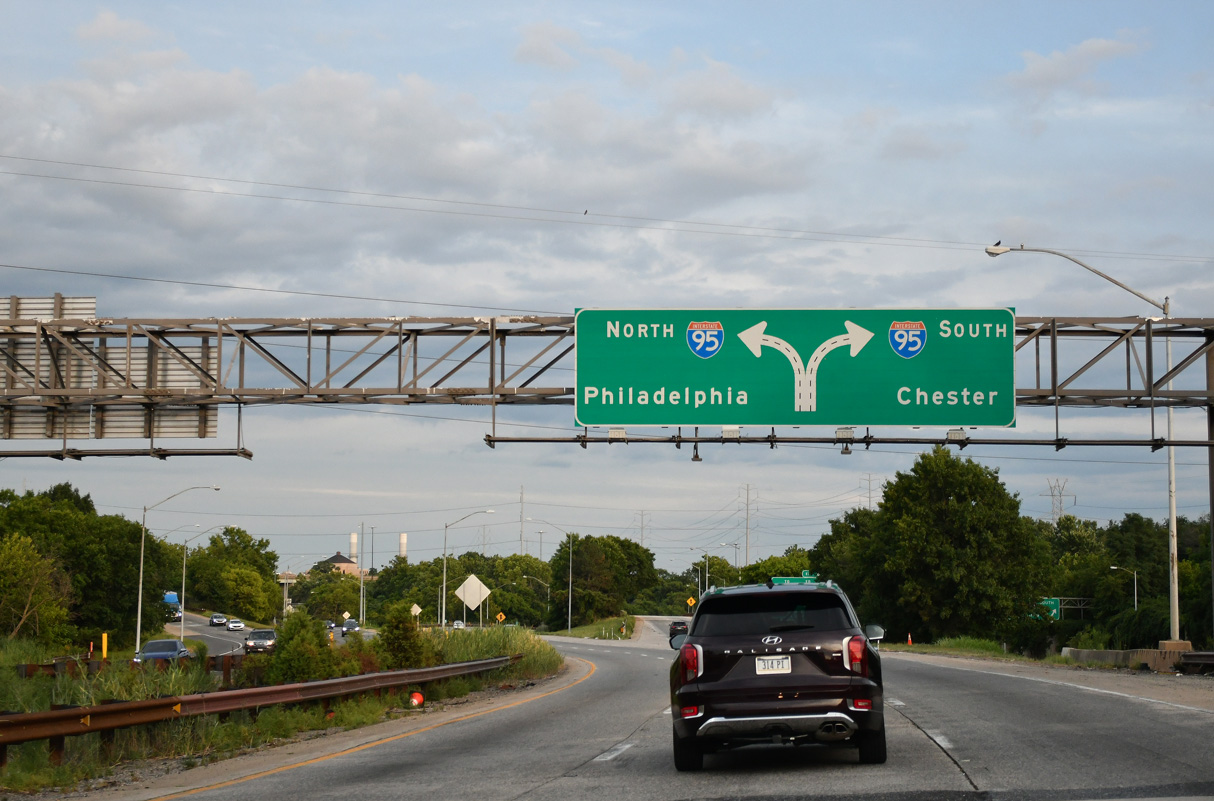
Exit 1 leaves Interstate 476 south for MacDade Boulevard. Two lanes advance south to I-95. 07/26/24
North at
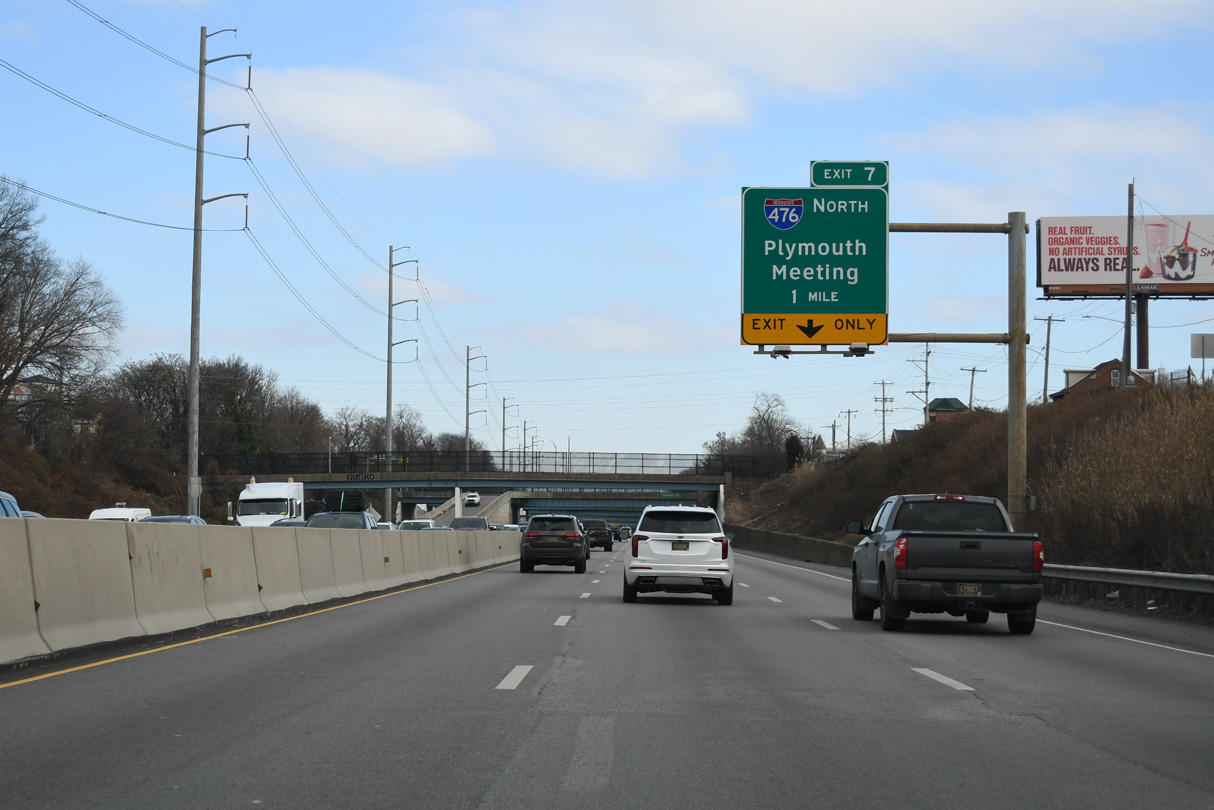
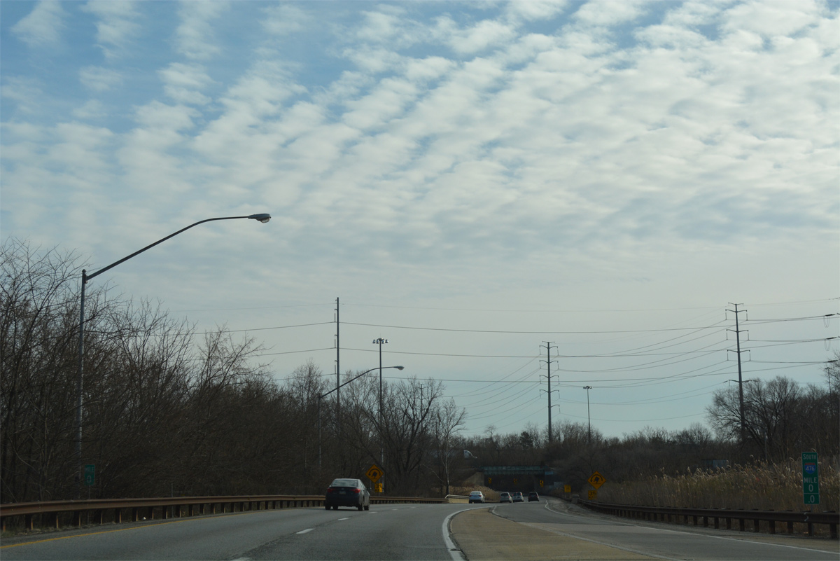
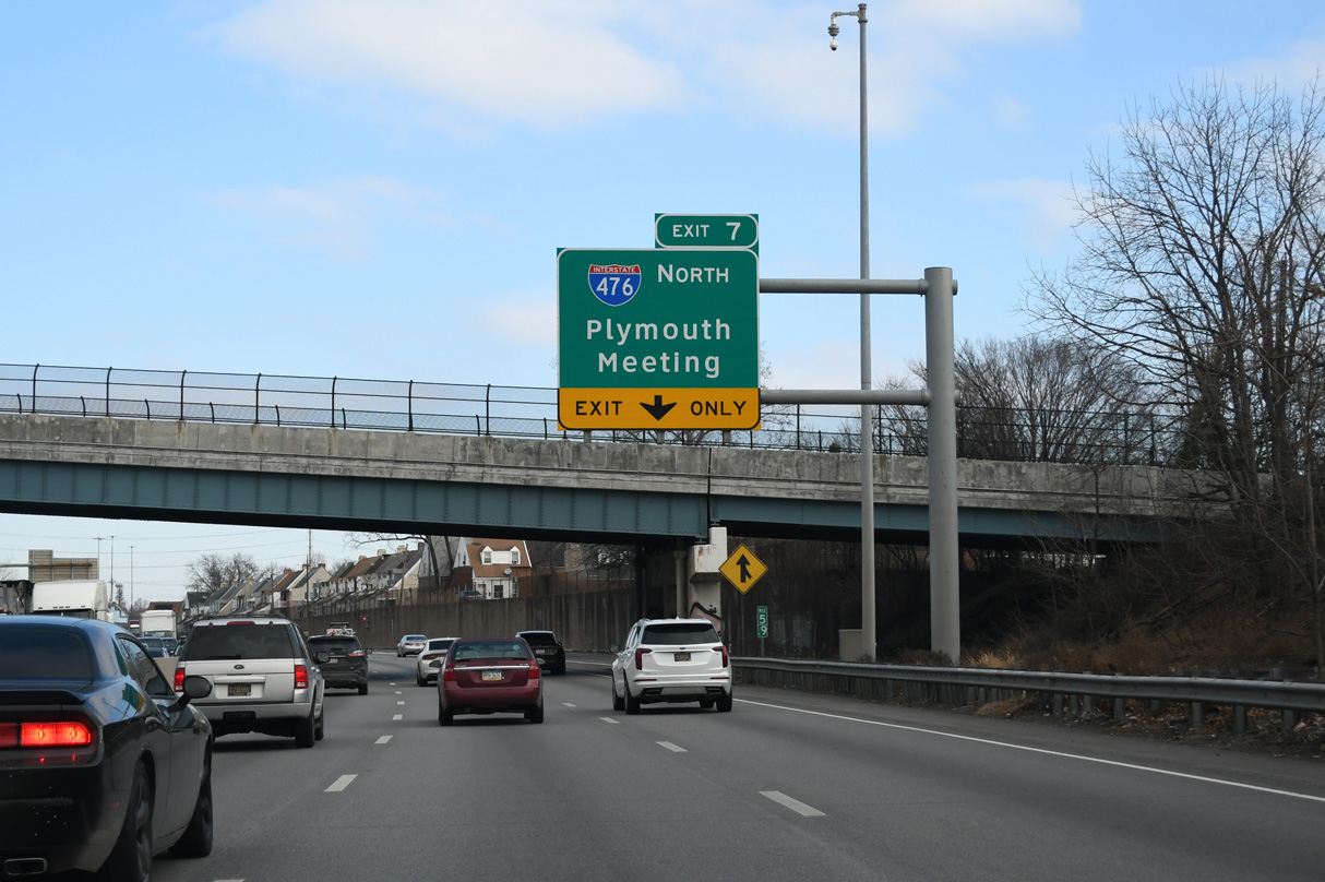
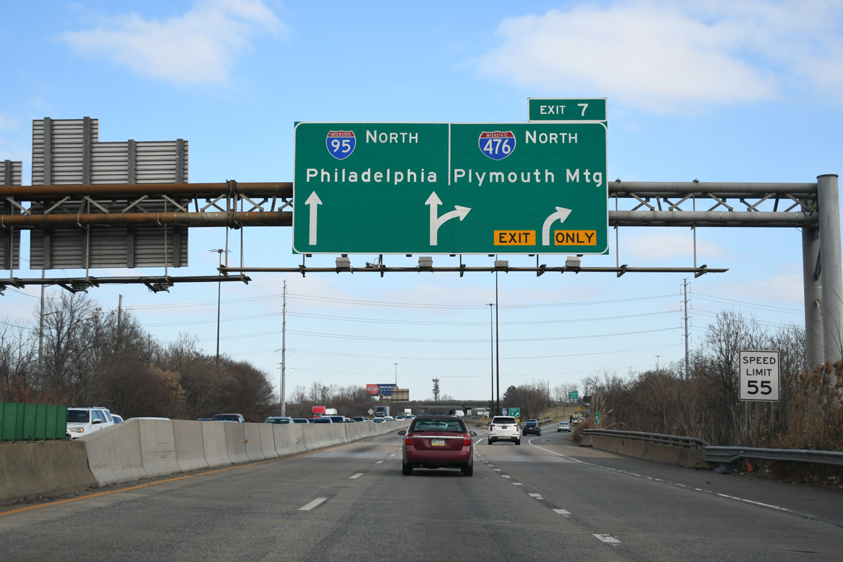
Interstate 95 travels below grade through northern reaches of Chester as it advances toward the south end of I-476. A lane drop occurs at Exit 7 for the Mid-County Expressway flyover ramp. 12/26/24
South at
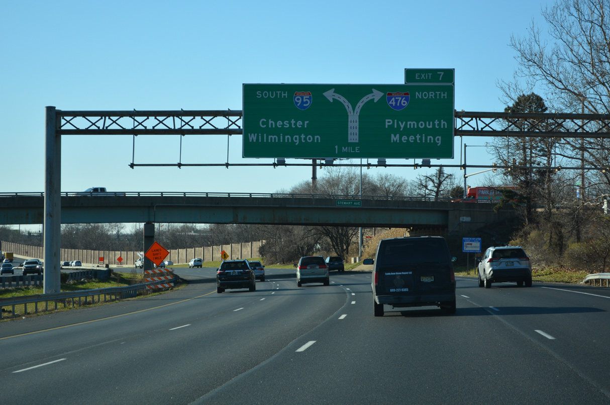
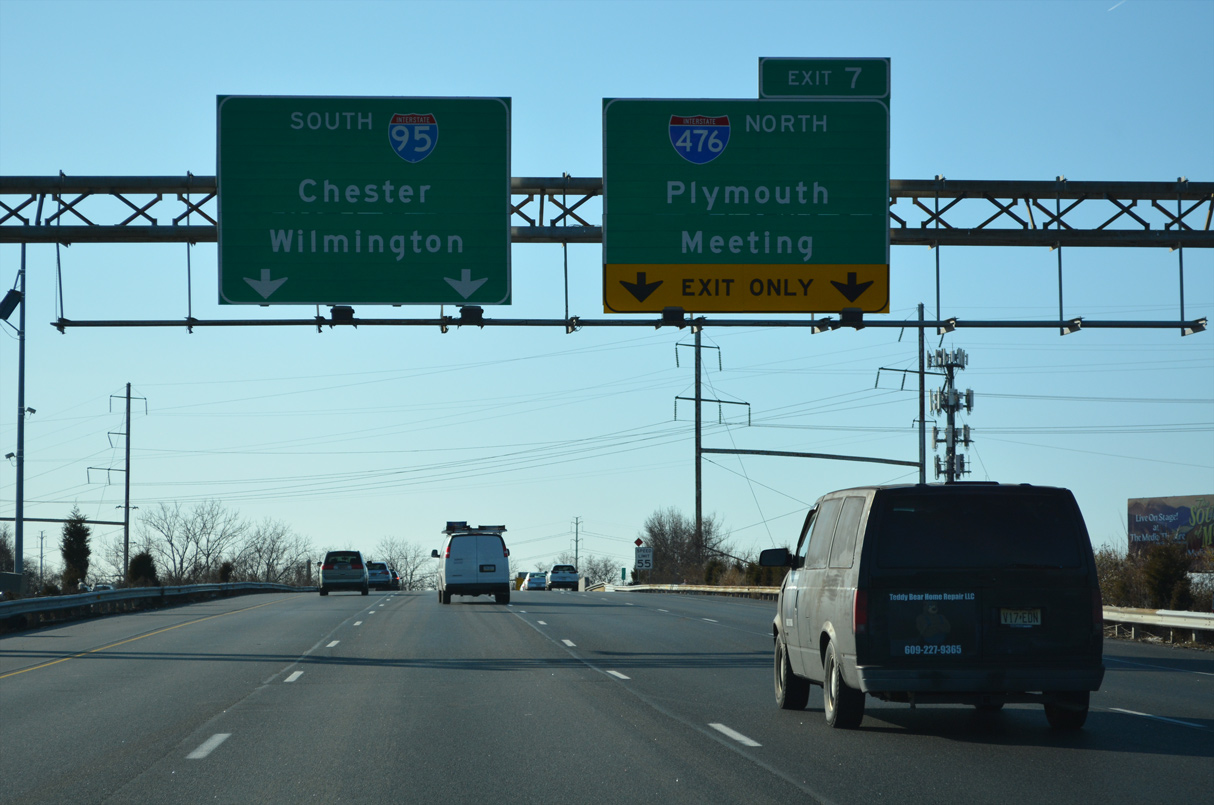
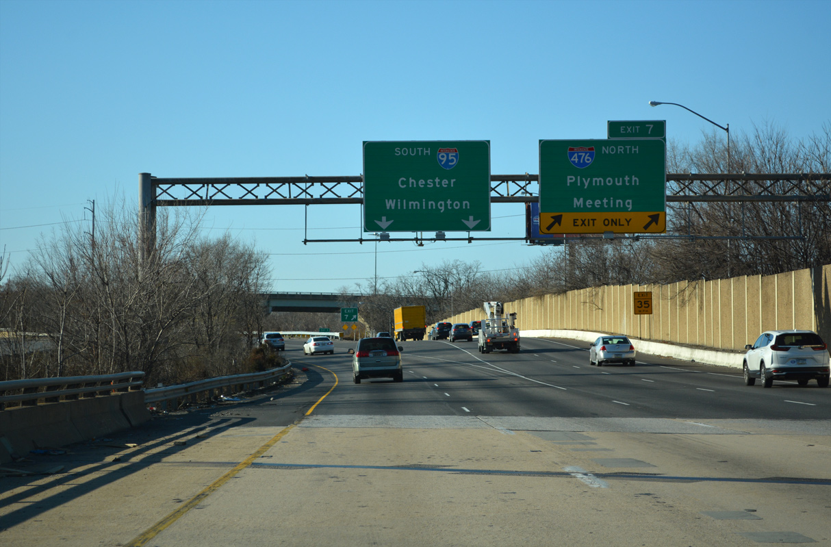
Interstate 95 passes through the diamond interchange (Exit 8) with Stewart Avenue (SR 2033) with four southbound lanes. A diagrammatic sign outlines the forthcoming split with I-476 north, where the I-95 mainline reduces to two through lanes. 12/20/22
South End – Past Views
Past Views Gallery (Tap to Expand / Collapse Section)
North at
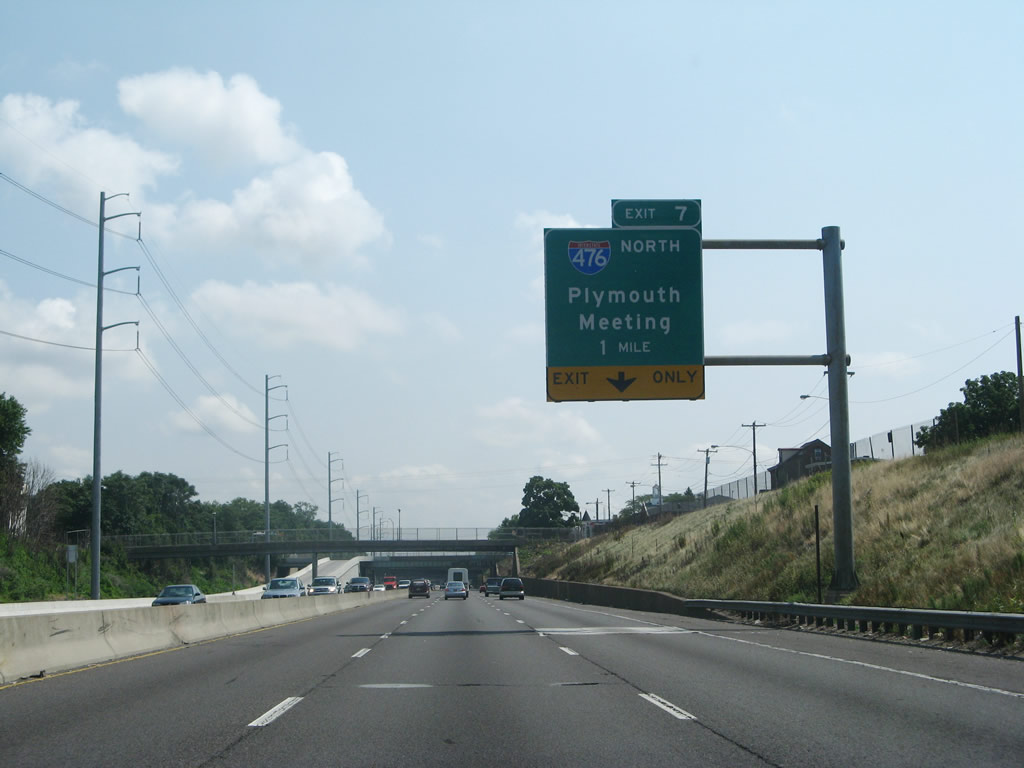
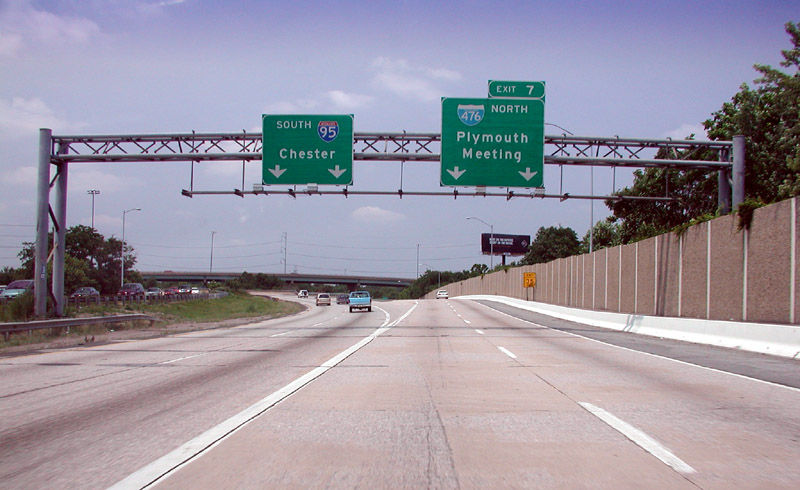
Replaced guide sign for Interstate 476 (Exit 7) on I-95 north ahead of the PA 352 (Edgmont Avenue) overpass in Chester. Signs for I-476 north omit Media and other Delaware County suburbs in favor of Plymouth Meeting, the junction point with I-276 and the PA Turnpike Northeast Extension. 07/27/07
South at
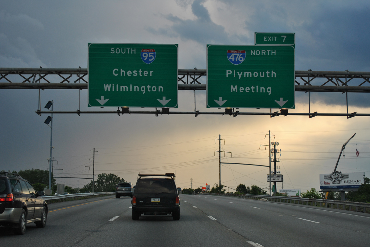
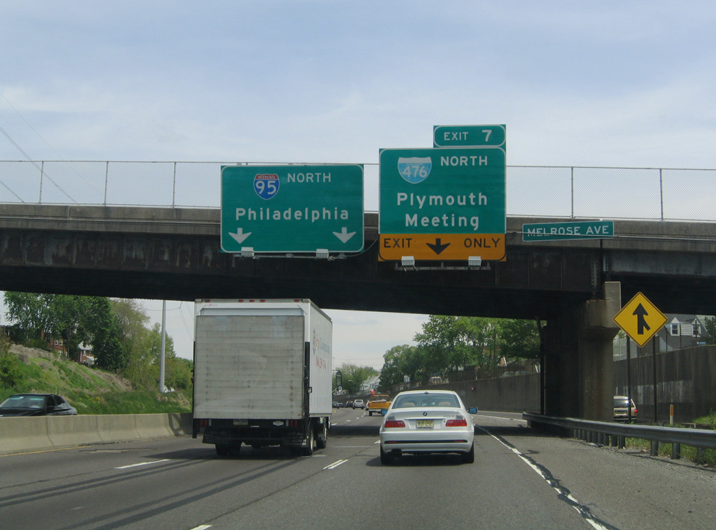
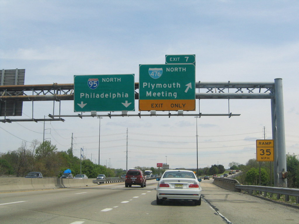
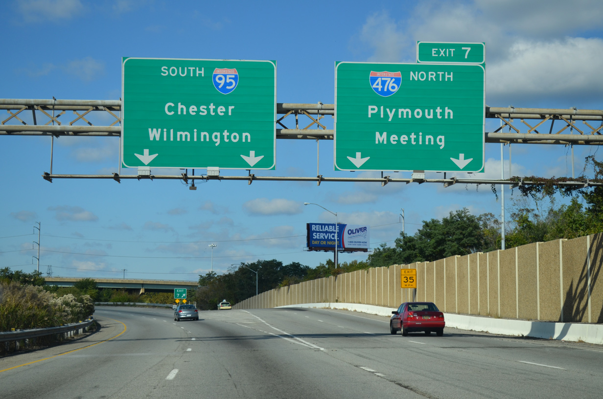
Sign changes made along I-95 south by 2015 added exit only placards for Interstate 476 north. 06/03/12
References
- Henry, L.S. (1998). America's Tunnel Highway: Tunnels are a Rich Part of Turnpike History... Pennsylvania Turnpike. Retrieved from http://www.paturnpike.com/tools/ newsletters/summer98/page-4.htm
- Kitsko, J. (2023, December 13). Interstate 476. Pennsylvania Highways. Retrieved from https://www.pahighways.com/interstates/I476.html
- Pennsylvania Department of Transportation (PennDOT) District 6. (2015, December 11). Travel Restrictions Scheduled on at I-95/I-476 Interchange in Delaware County. [Press release]. Retrieved from https://www.penndot.pa.gov/RegionalOffices/district-6/Pages/details.aspx?newsid=222
- Blue Route ramp meters back in operation. (2010, February 25). Delaware County Daily Times.
- Scranton Beltway taking next step. (2016, December 6). The Times-Tribune.
- Pennsylvania Turnpike Commission (PTC). (2015, July 7). PA Turnpike Celebrates Opening of Route 903 'E-ZPass-Only' Interchange. [Press release].
- Pennsylvania Turnpike Commission (PTC). (2015, December). Scranton Beltway Feasibility Study. Retrieved from https://www.patpconstruction.com/scrantonbeltway/library/2015_12-Feasibility-Study-II.pdf