Interstate 76 (Eastern)
Overview
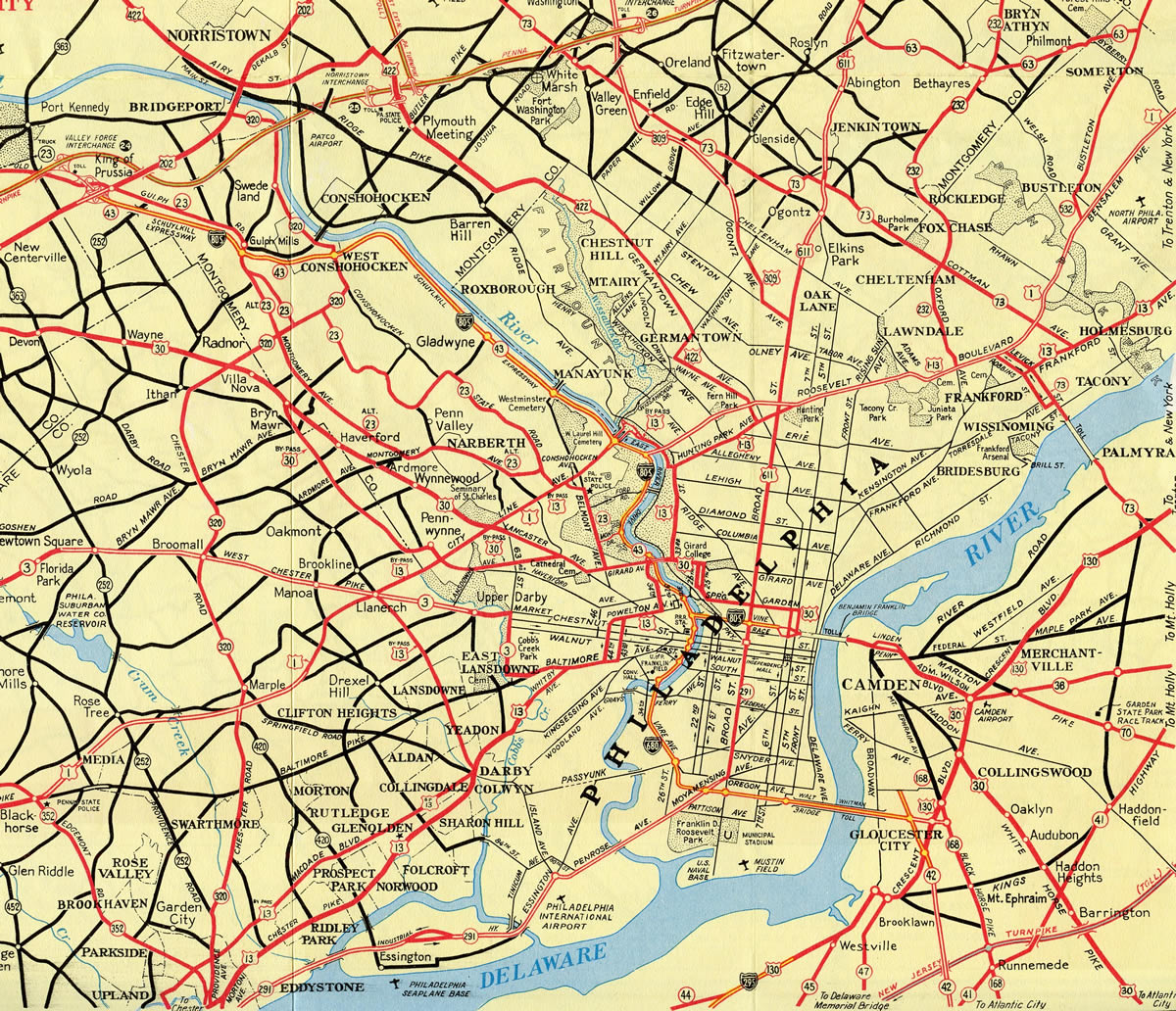
The Eastern Interstate 76 forms a major route across eastern Ohio and Pennsylvania. It joins the Philadelphia metropolitan area with Pittsburgh, Akron and Cleveland, Ohio (via I-80). I-76 doubles as the majority of the mainline Pennsylvania Turnpike, and it follows the extreme eastern segment of the Ohio Turnpike as well. Portions both west and east of these toll roads are free, with the exception of the tolled Walt Whitman Bridge across the Delaware River. The Schuylkill Expressway in Philadelphia carries I-76 southeast from Conshohocken into the City of Brotherly Love. The often congested route predates the Interstate system with completion in 1954.
Mileage by State
| Ohio | 82.26 mi |
| Pennsylvania | 350.97 mi |
| New Jersey | 3.04 mi |
Data Sources
June 18, 2025 Ohio Department of Transportation (ODOT) Straight Line Diagrams. https://www.transportation.ohio.gov/programs/technical-services/tech-services-card-catalog/sld
December 31, 2021 Interstate Route Log and Finders List
Parallel U.S. Routes
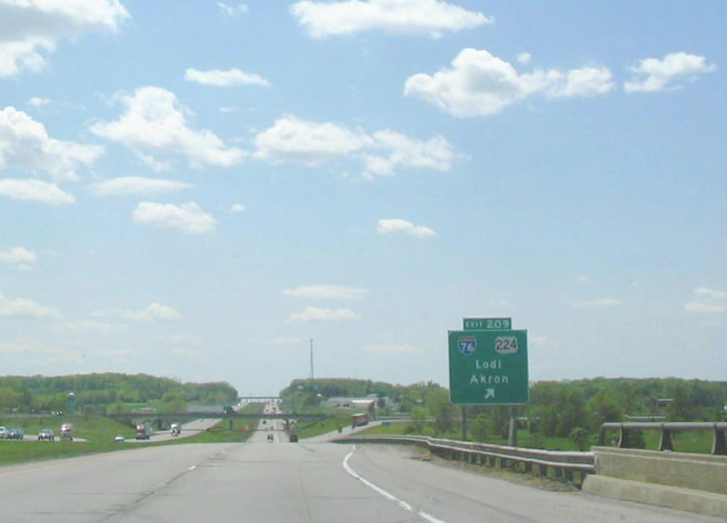
The eastern Interstate 76 combines with U.S. 224 from I-71 to Akron, Ohio. The freeway shifts north of the U.S. 224 corridor east to the Ohio Turnpike near Lordstown. Angling southeast, the I-76 eventually meets U.S. 30 at Irwin, Pennsylvania. U.S. 30 parallels the PA Turnpike east to Philadelphia. U.S. 322 and U.S. 422 also mirror the course of I-76 east from Harrisburg and Hershey to the Philadelphia suburbs.
Major Projects
I-295/I-76/Route 42 Direct Connection
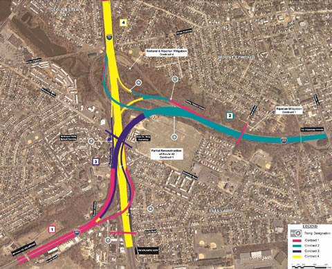
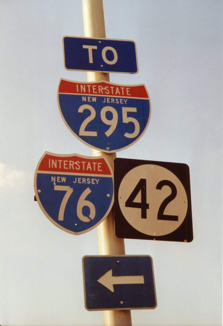
The eastern end of Interstate 76 ties in with I-295 and the North South Freeway (NJ Route 42) at the boroughs of Bellmawr and Mt. Ephraim. The interchange at the junction includes substandard ramps for the I-295 mainline movements and involves weaving traffic patterns where I-76 and I-295 run side by side. The I-295/I-76/Route 42 Direct Connection addresses deficiencies with ramp geometry, weaving traffic and safety concerns at the interchange. With an estimated cost of $900 million, the four contract project commenced in March 2013 with initial construction (Contract 1) along I-76 to the north and I-295 as it ties into the North South Freeway from the west (NJDOT, 2018).
Contract 1 work wrapped up in Fall 2016. Construction on Contract 2, which replaced the ramp from I-76 east to I-295 east, started in Summer 2014 and was completed in July 2019. The second phase also rebuilt the exit ramp from I-295 south to I-76 north.
Beginning in April 2017, Contract 3 shifts the southbound mainline of I-295 away from a 35 mile per hour ramp onto a new alignment spanning Interstate 76. Contract 4, completing the elevated roadway for I-295 and the final reconstruction of the North South Freeway, is in design as of 2026.
History
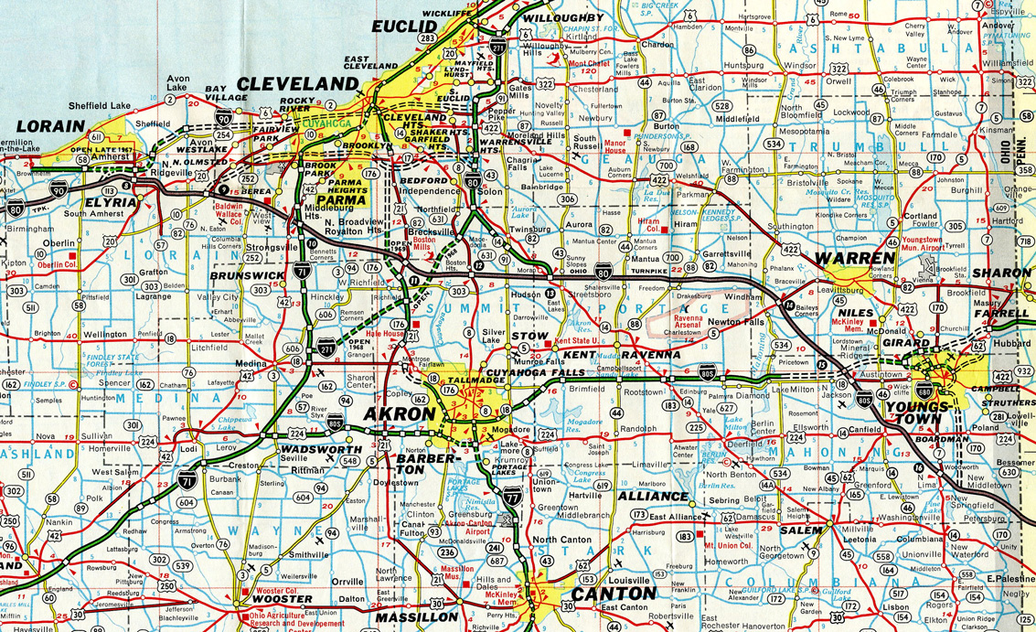
One of the first superhighways constructed prior to the Interstate Highway System, the Pennsylvania Turnpike opened initially with 160 miles between Middlesex and Irwin on October 1, 1940, only three years after the Pennsylvania Turnpike Authority was created (Allentown/Lehigh Valley Morning Call, 2004). This was a full 16 years prior to the establishment of the Interstate Highway System in 1956.
Between 1950 and 1956, the Pennsylvania Turnpike was extended in both directions, connecting to the Ohio Turnpike in the west and the New Jersey Turnpike in the east. Just after the creation of the Interstate Highway System in 1958, the majority of the Turnpike became a part of I-80S. This changed in 1964 (Kitsko, 2025), when I-80S was dropped along the toll road from Monroeville east to Gloucester City, New Jersey in favor of newly designated Interstate 76.
Until 1964, eastern Pennsylvania loops and spurs from I-80S were given the designations of I-180, I-280, I-480 and I-680. These later became I-176, I-276, I-476 and I-676 respectively when I-76 was extended eastward along the PA Turnpike to Exit 326 (I-276), and along the Schuylkill Expressway (former PA 43) southeast to the Vine Street Expressway in center city Philadelphia.
Additional changes to the Pennsylvania Turnpike and I-76 came on December 3, 1971, when the remainder of I-80S was redesignated as I-76 west from Monroeville to I-71 near Seville, Ohio as approved by the American Association of State Highway and Transportation Officials (AASHTO). The same AASHTO meeting renumbered what was I-76 along Penn-Lincoln Parkway East through Pittsburgh as Interstate 376, and former I-76 along Penn-Lincoln Parkway West as Interstate 279. These changes also resulted the renumbering of I-876 in Downtown Pittsburgh as I-579.
Interstate 76 remained in this configuration for one year, when AASHTO approved a designation swap of I-76 and I-676 in Philadelphia on June 20, 1972. This decision redirected I-76 across the Walt Whitman Bridge into New Jersey while redesignating the short stretch of the Vine Street Expressway completed at that time as new I-676.
After Interstate 76 was signed on the Pennsylvania Turnpike, the entire superhighway was retrofitted with concrete barriers in 1965. Second bores at the Blue, Kittatinny and Tuscarora Tunnels were opened in 1968, bringing the toll road to four overall lanes through these areas (Allentown/Lehigh Valley Morning Call, 2004).
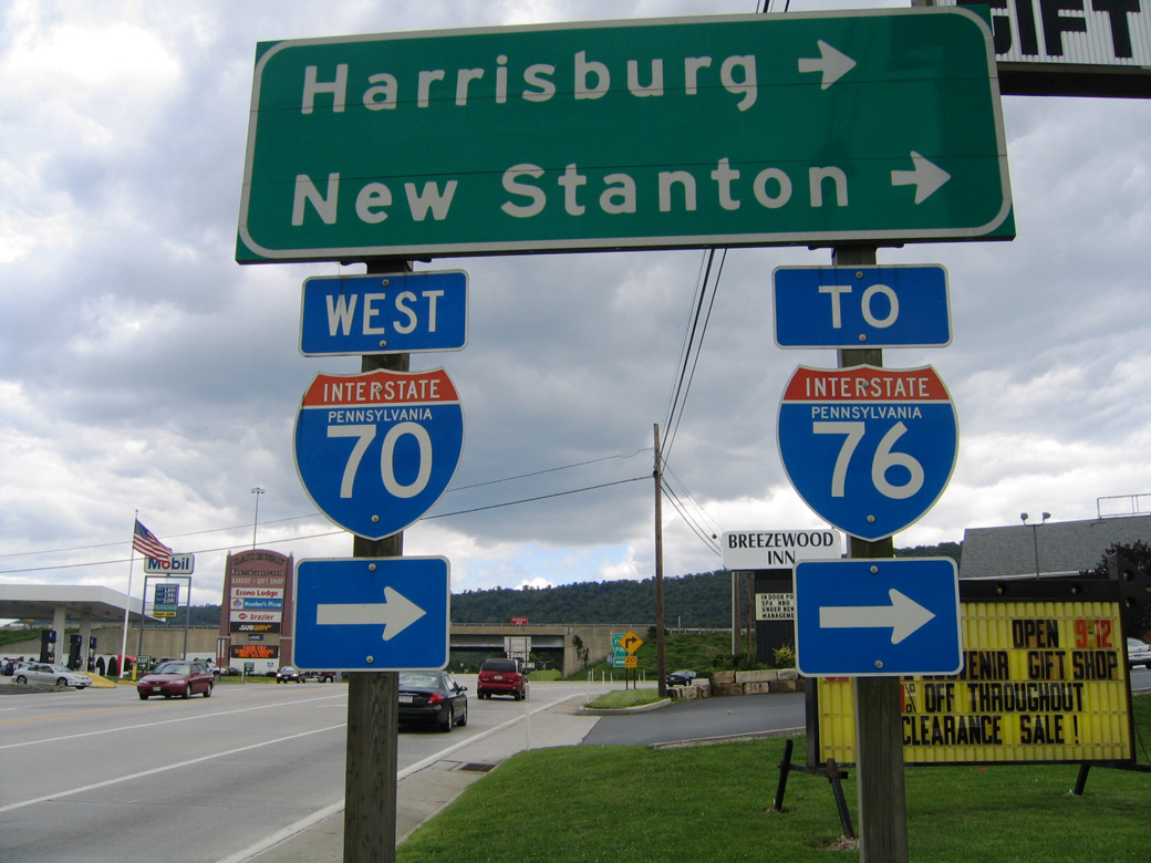
Further expansion along the Pennsylvania Turnpike took place starting with construction in 1999 along the cosigned portion with Interstate 70 between New Stanton and Breezewood.
Changes at the west end of Interstate 76 were made between September 2006 and August 4, 2010 (Akron Beacon Journal, 2008, 2010). The $76 million (Akron Beacon Journal, 2009) I-71 and I-76 reconstruction project added high speed ramps to replace some of those associated with the original trumpet to trumpet interchange connection. Direct ramps were added from Interstate 76 west to both directions of I-71, from I-71 north to I-76 east and from I-71 south to I-76 east (Akron Beacon Journal, 2007).
East End 
 ‐ Bellmawr, NJ
 East at
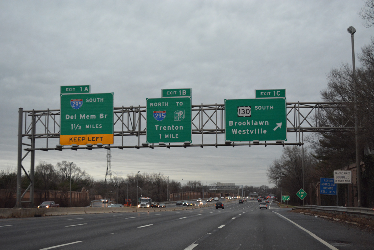
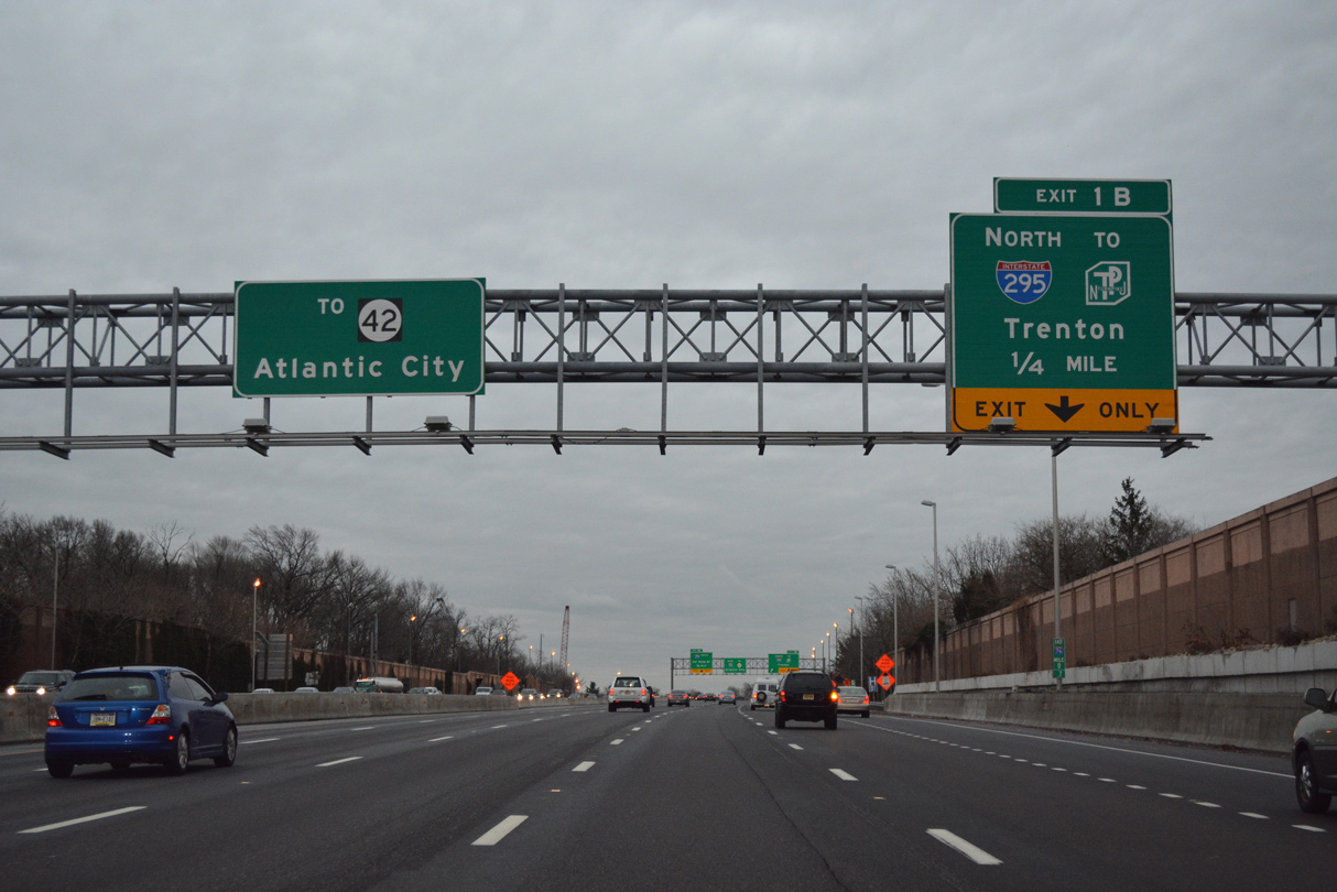
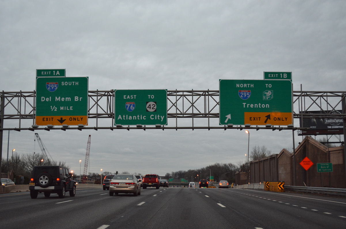
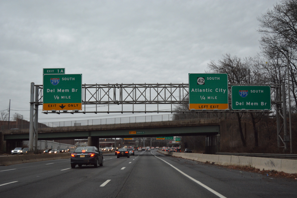
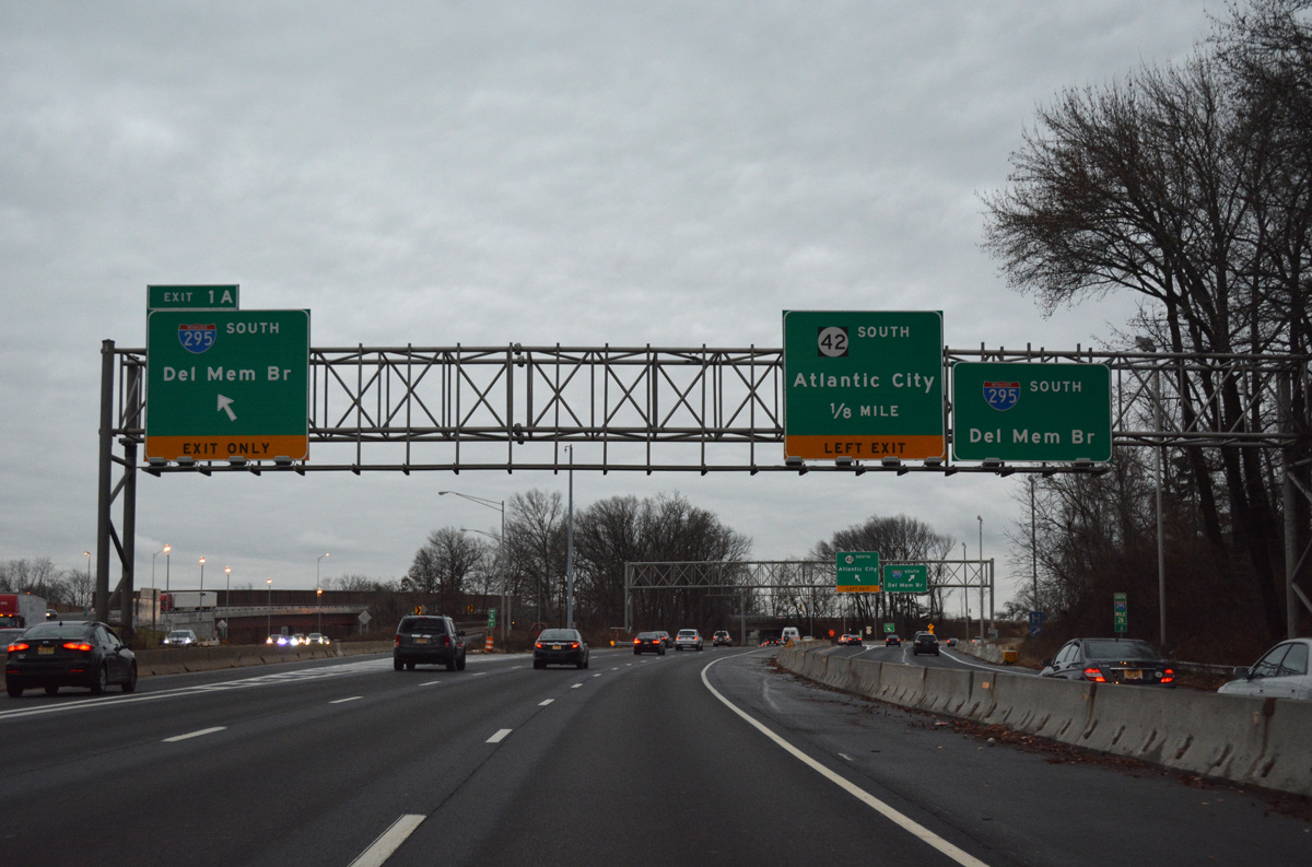
Interstate 76 (North South Freeway) east reaches Exit 1C for U.S. 130 south to the boroughs of Brooklawn and Westville. Exit 1B follows for Interstate 295 north to Cherry Hill, Moorestown and Trenton. Photo taken 12/18/16.
North South Freeway - North at
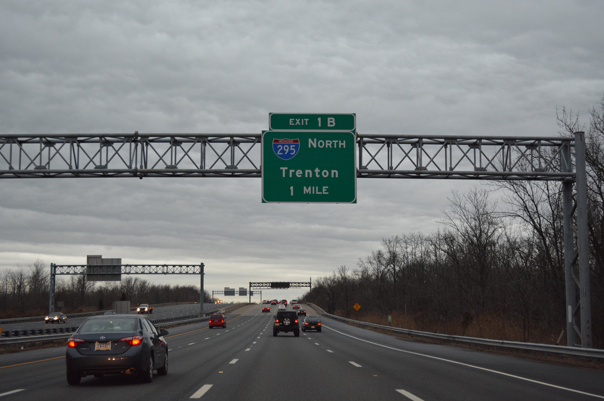
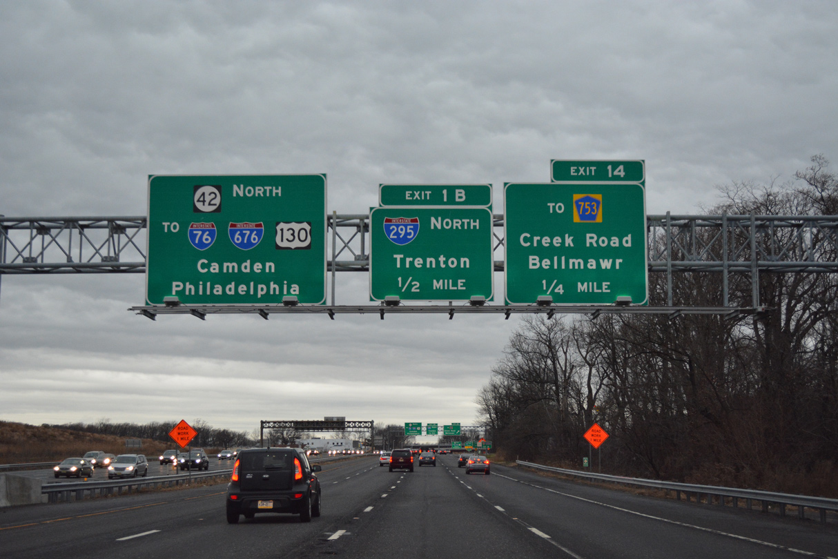
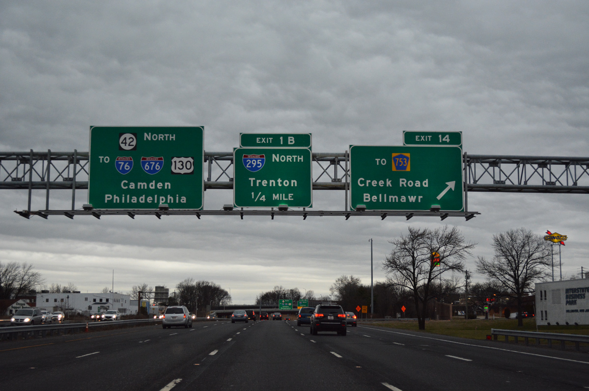
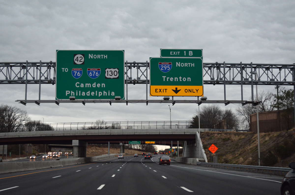
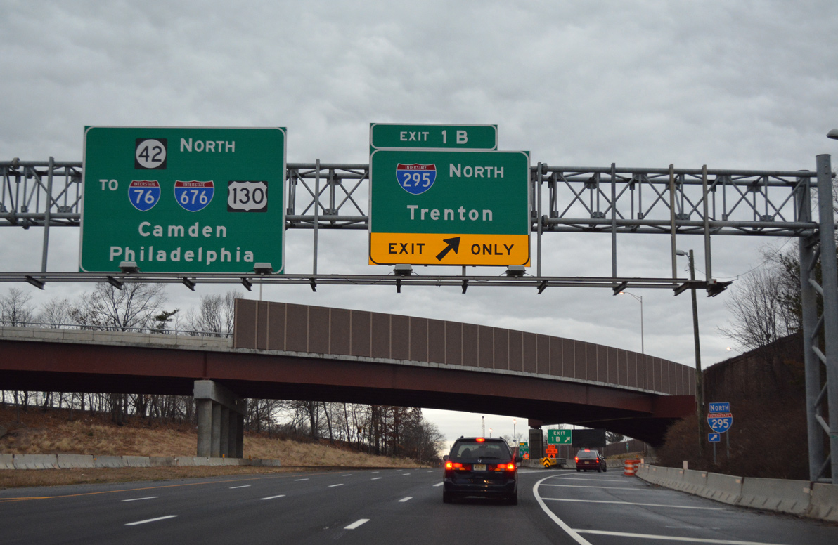
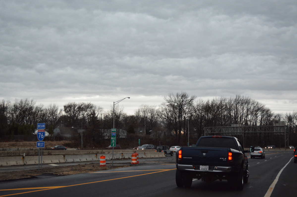
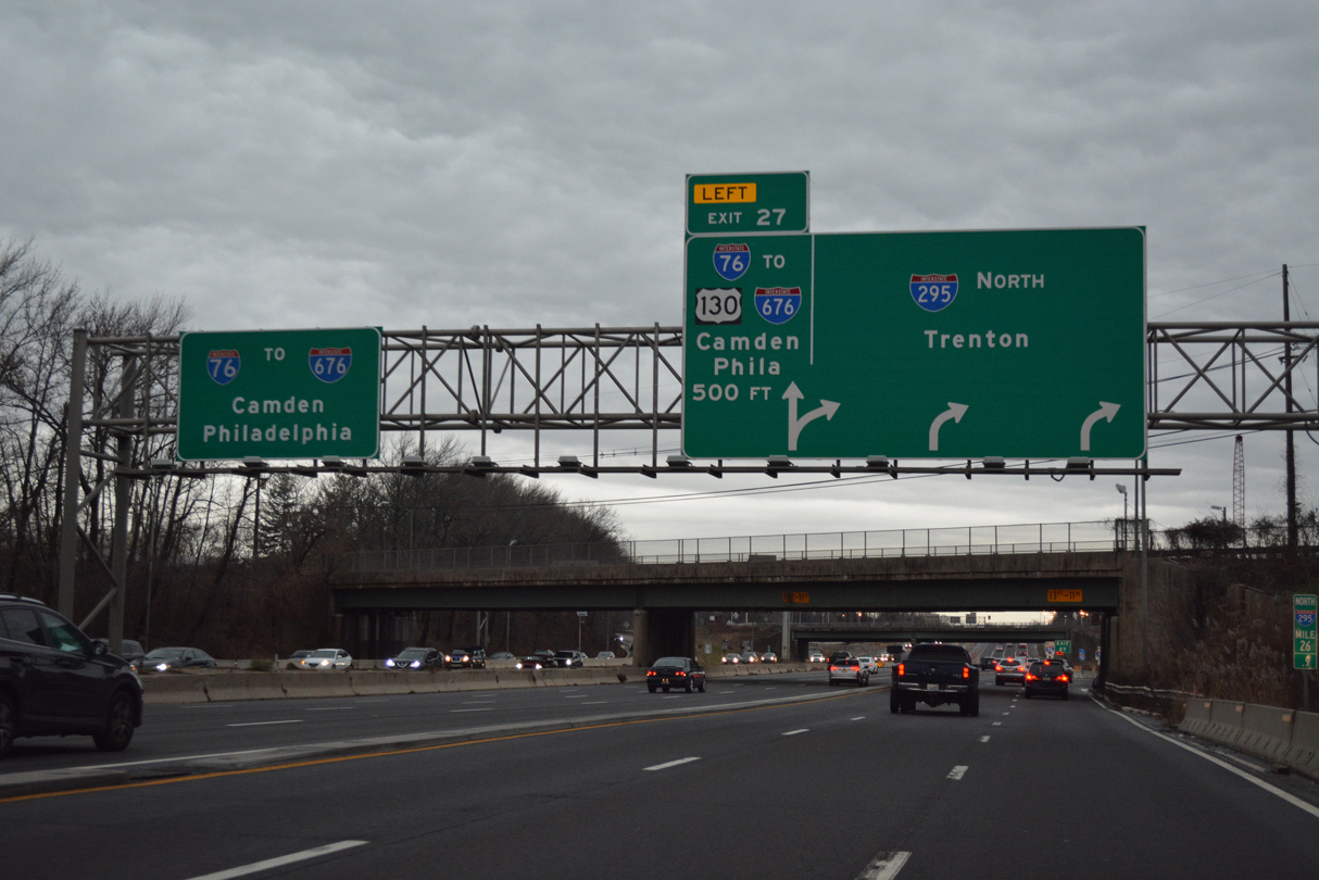
Route 42 (North South Freeway) crosses over both Big Timber Creek and the New Jersey Turnpike mainline on the one mile approach to I-76 and I-295. 12/18/16
South at North South Freeway
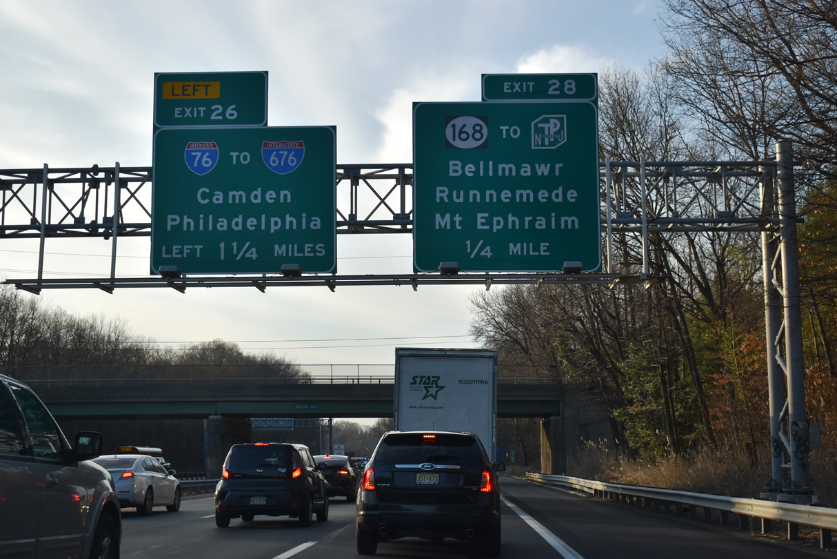
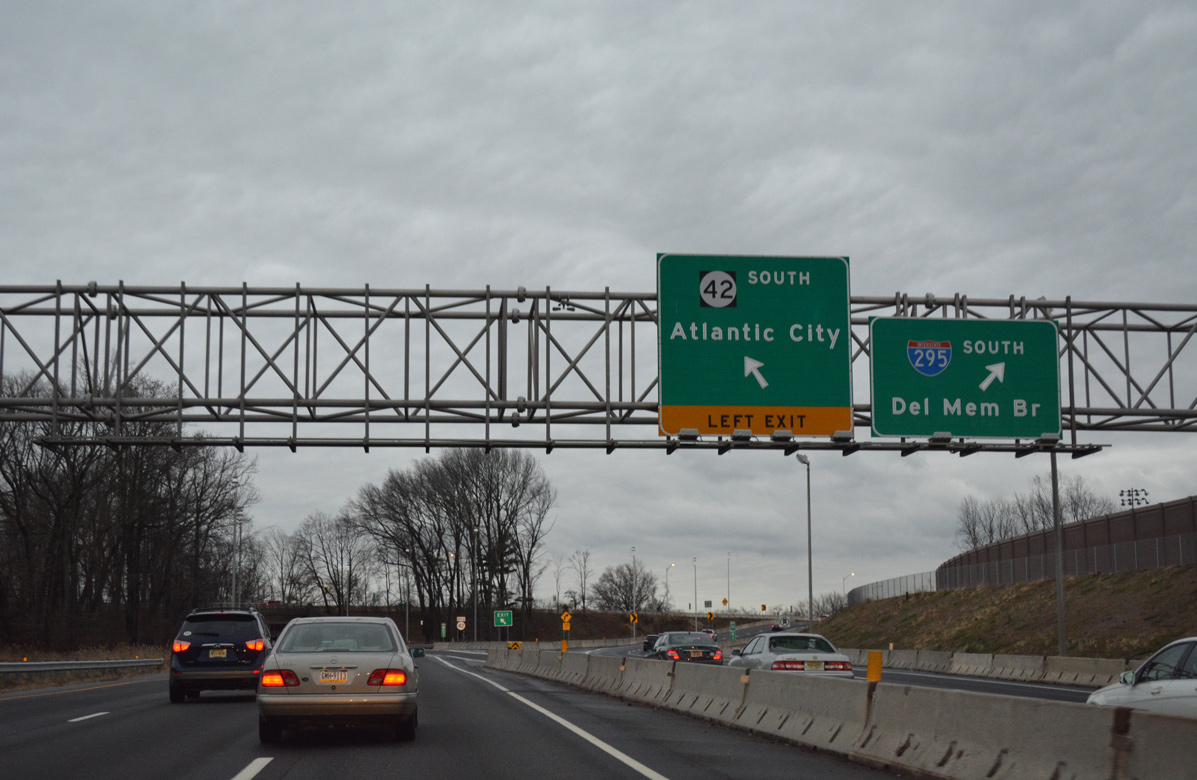
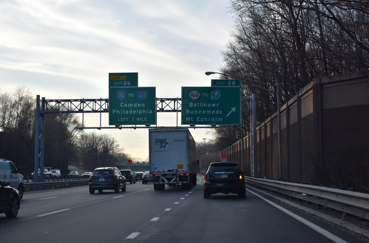
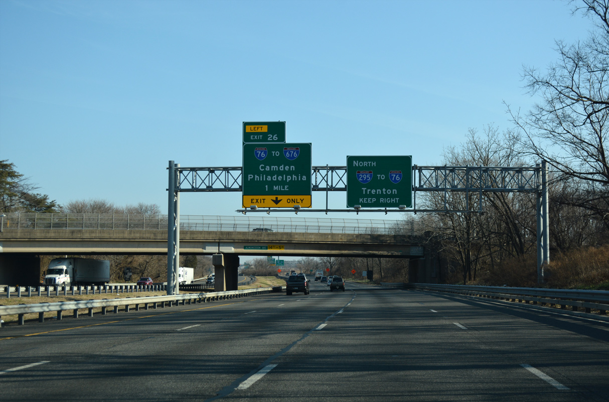
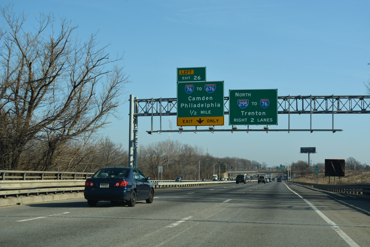
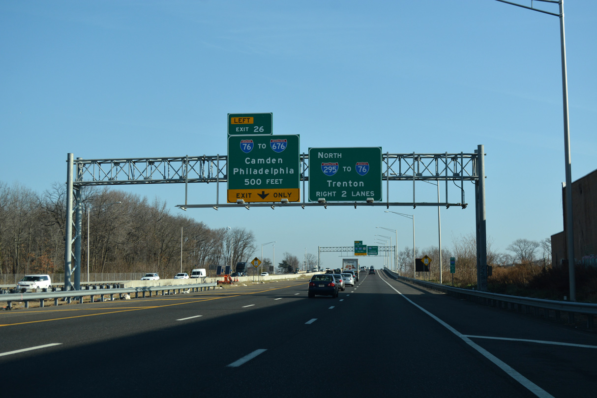
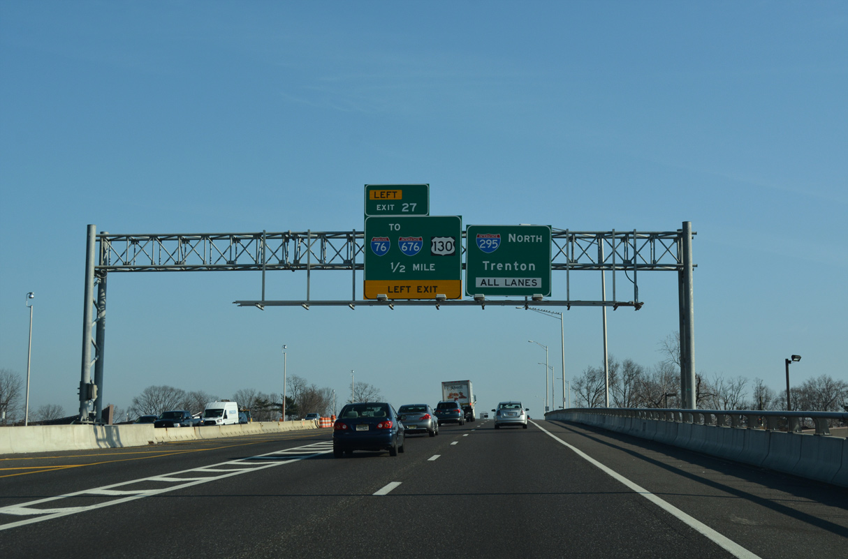
I-295 travels one mile west from Route 168 (Black Horse Pike) at Haddon Heights to Exit 26 for Interstate 76 west. 12/27/18
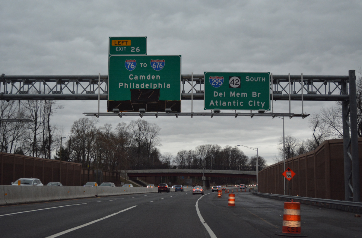
North at North South Freeway
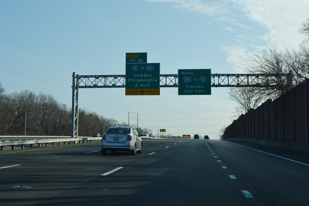
Interstate 295 shifts south from U.S. 130 through the borough of Westville ahead of Exit 26 for I-76. 12/27/18
East End – Past Views
Past Views Gallery (Tap to Expand / Collapse Section)
East at
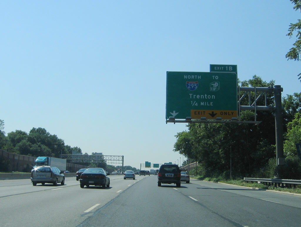
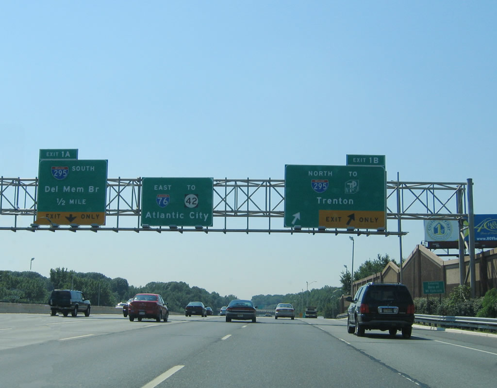
Interstate 76 east at the northbound ramp for I-295 prior to the multi-year rebuild of their interchange. Photo taken 08/09/04.
North at
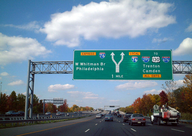
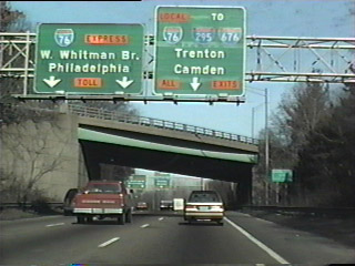
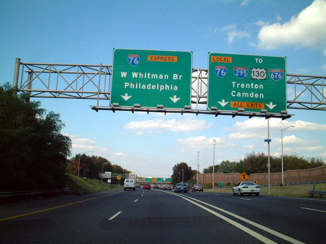
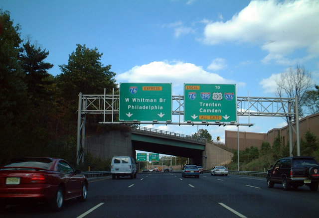
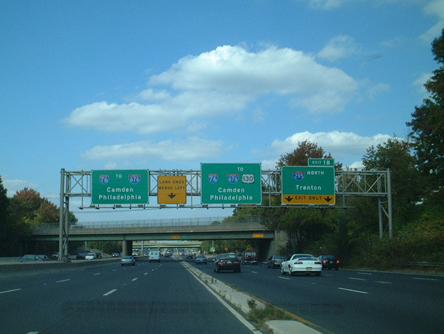
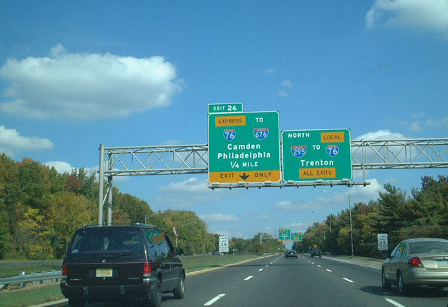
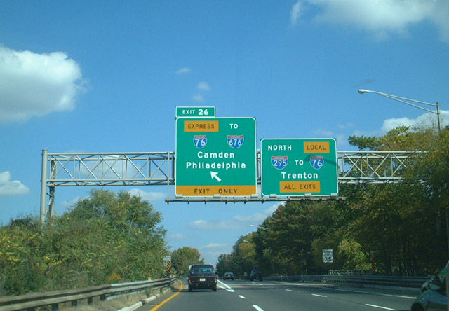
The first of two diagrammatic overheads outlined the former Express / Local roadway separation for Interstate 76 west. This sign bridge preceded the New Jersey Turnpike underpass. 10/13/01
North at
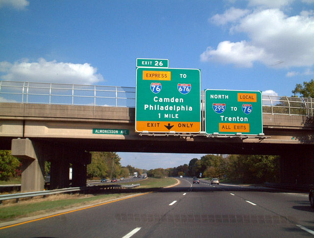
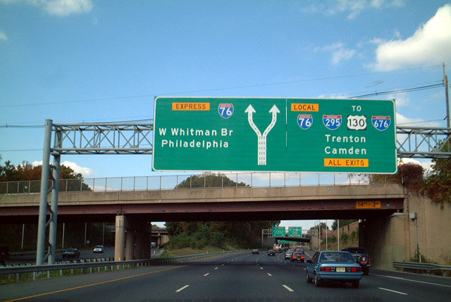
This set of bridge mounted signs were replaced with a new sign bridge further west. The Local / Express setup for I-76 was removed with Contract 1 road work to rebuild I-295. The left side ramp (Exit 26) remained in place until Contracts 3 and 4 were completed. 10/13/01
West End 
 ‐ Seville, OH
West at
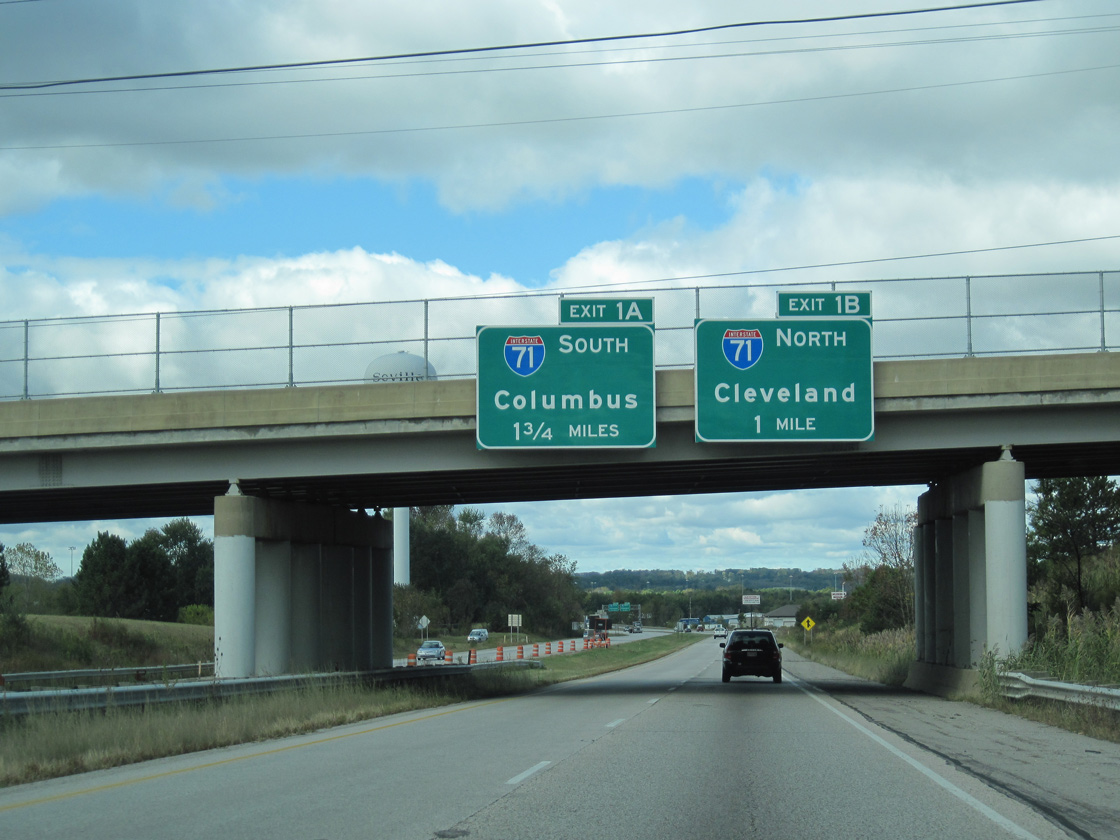
Ohio Route 3 (Wooster Pike) crosses over I-76, one mile east of Exit 1B for Interstate 71 north. I-71 travels 37.3 miles northeast to end at Interstate 90 in Cleveland. 10/01/10
East at
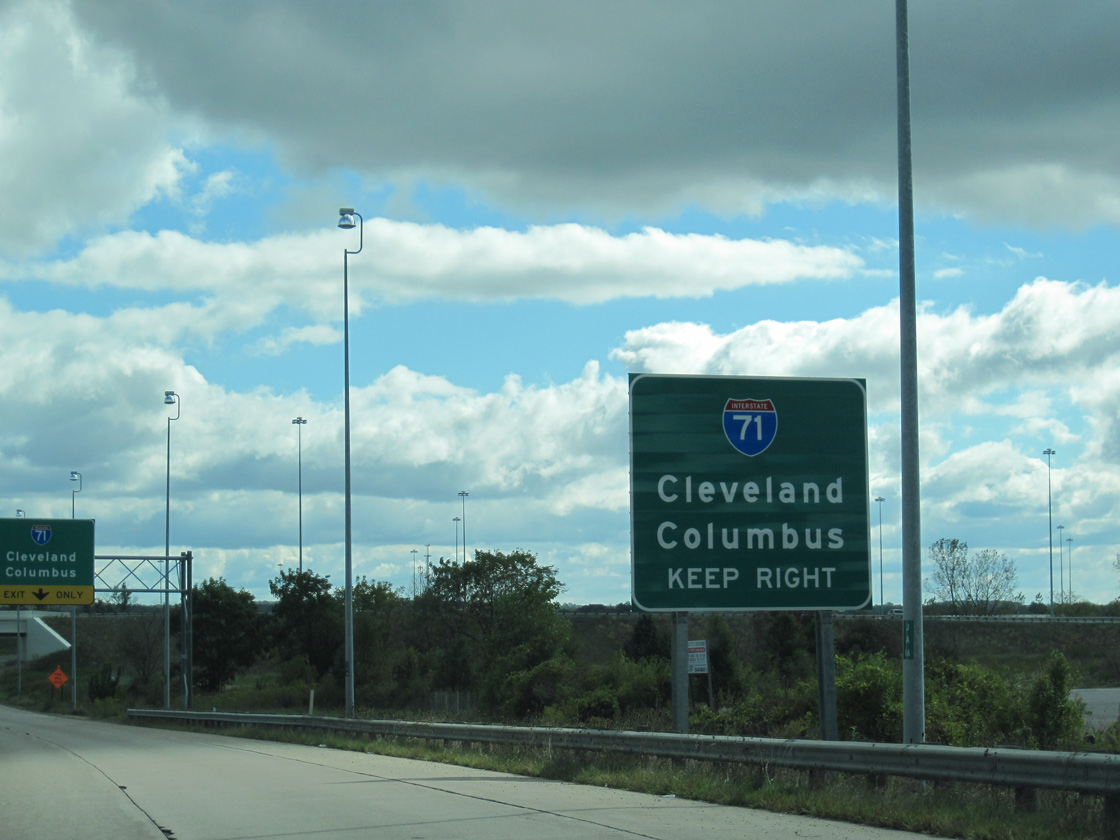
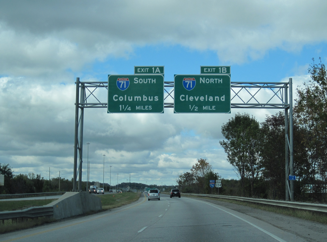
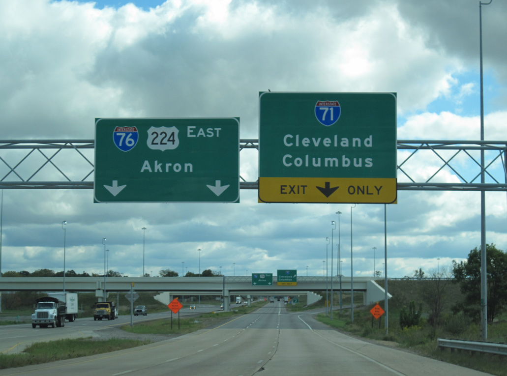
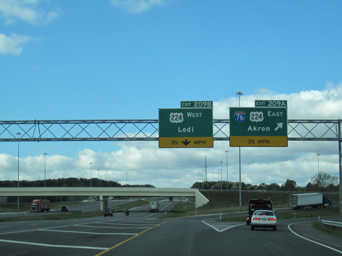
Leading away from County Road 19 (Lake Road), U.S. 224 east expands to three lanes leading into the trumpet interchange with the access road for I-71. 10/01/10
South at
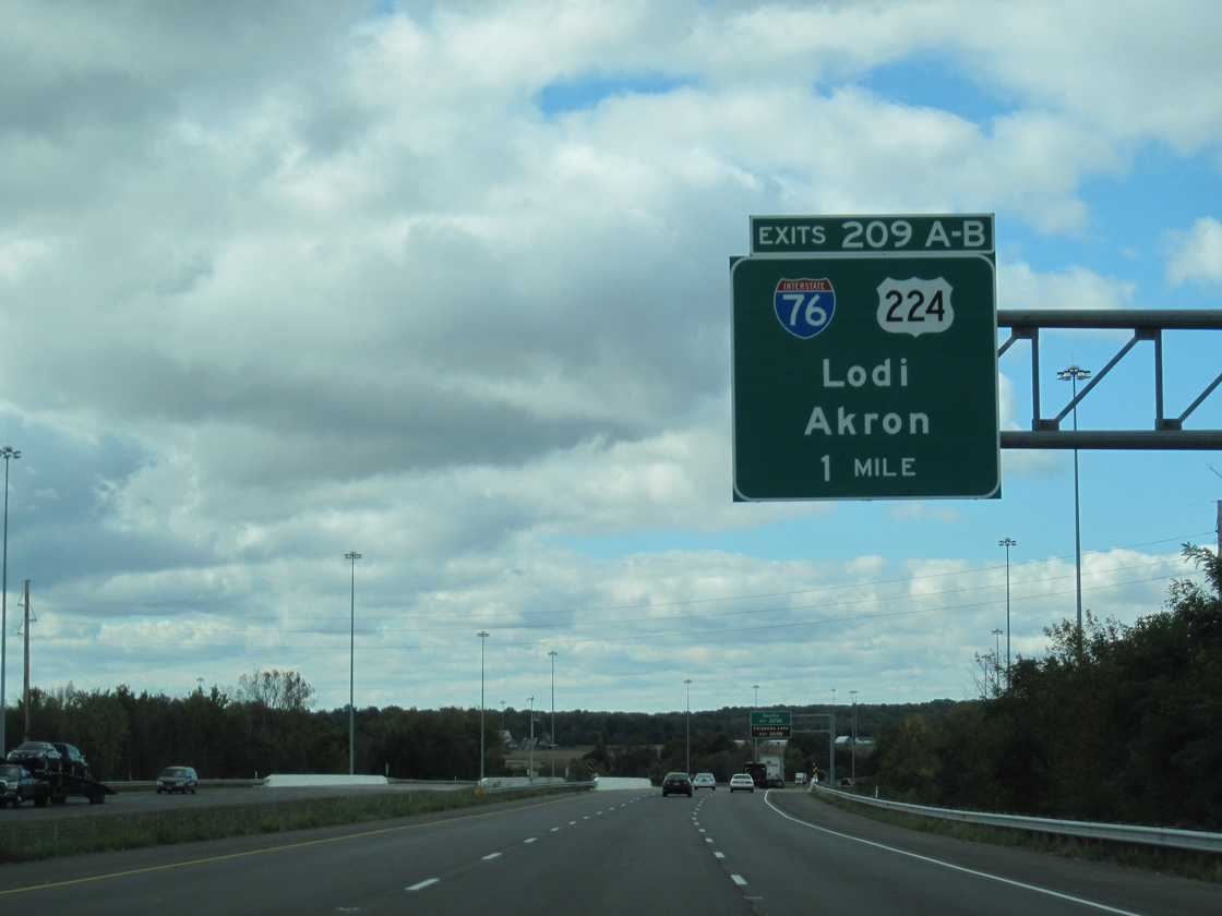
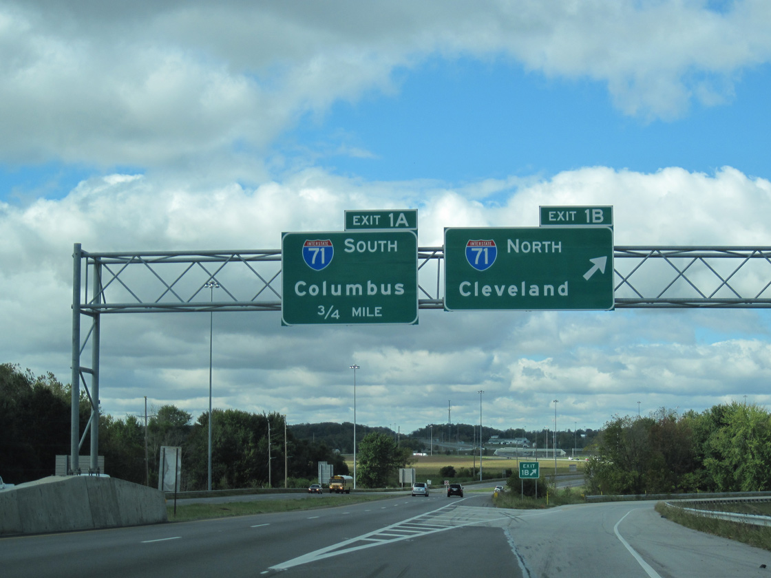
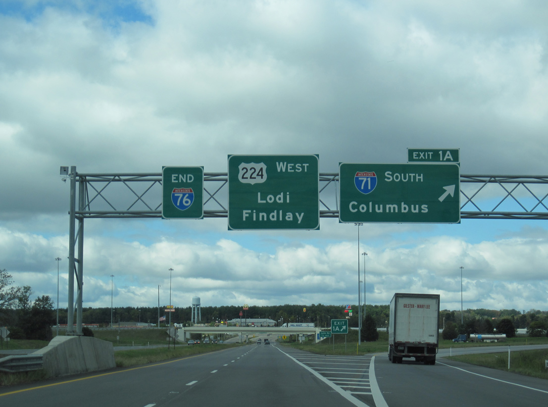
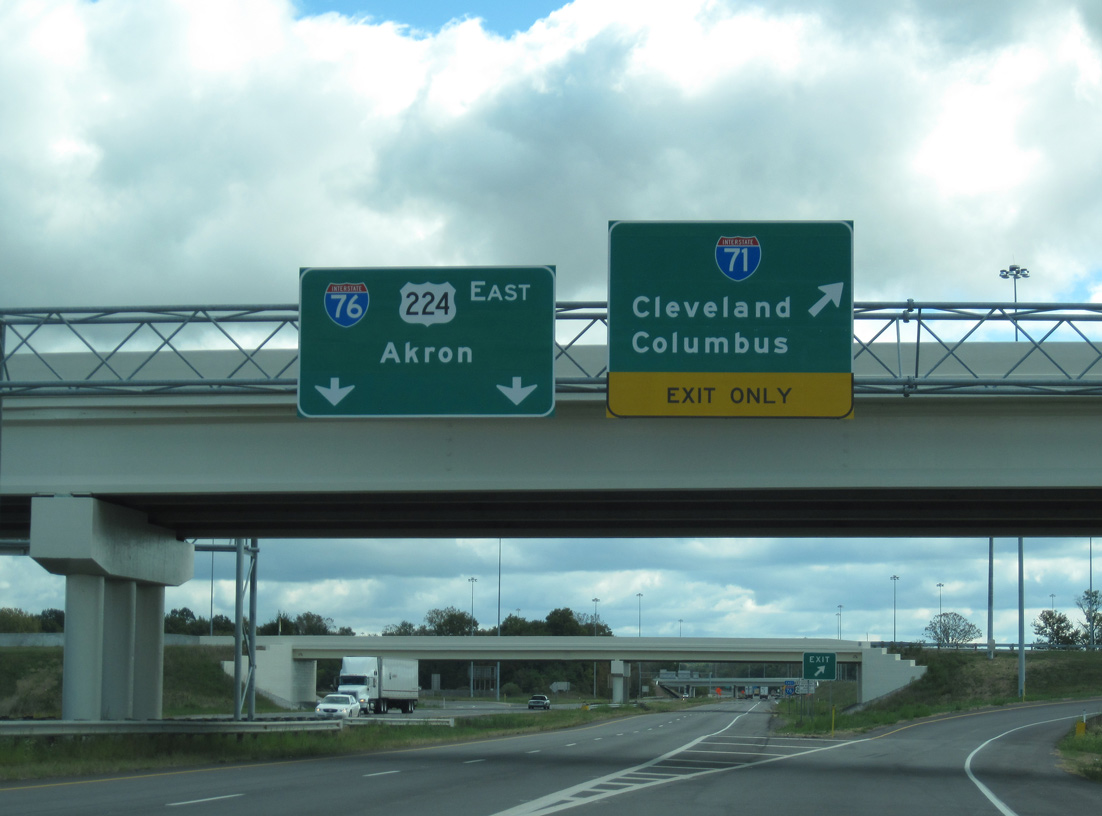
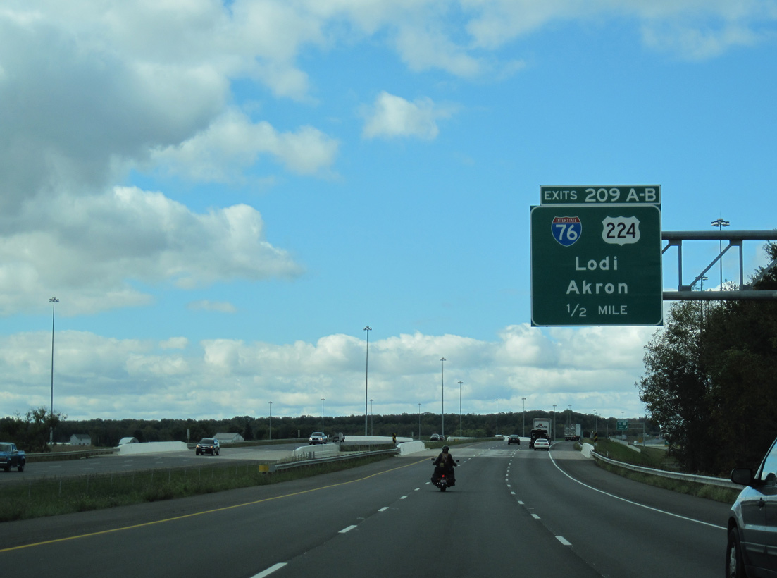
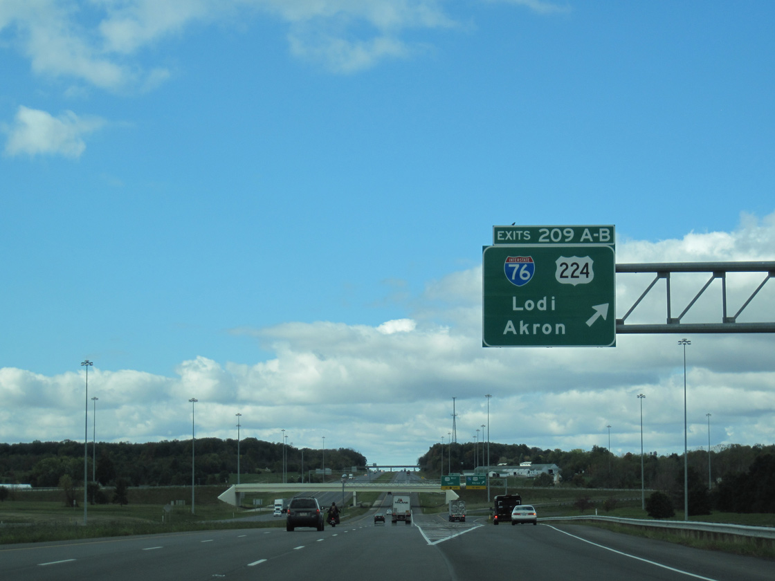
A ten-year project to expand Interstate 71 from Cuyahoga County to Morrow County wrapped up with a ribbon cutting ceremony held on August 4, 2010. The project concluded at I-76/U.S. 224, with the widening of 3.2 miles of road, six ramp realignments and the addition of three new ramps.6 10/01/10
West End – Past Views
Past Views Gallery (Tap to Expand / Collapse Section)
West at
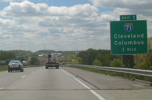
Prior to 2006-10 reconstruction, motorists along Interstate 76 west entered a trumpet interchange (Exit 1) with an access road to I-71, one mile beyond the Ryan Road underpass. 05/21/02
East at
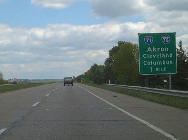
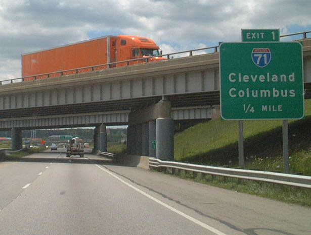
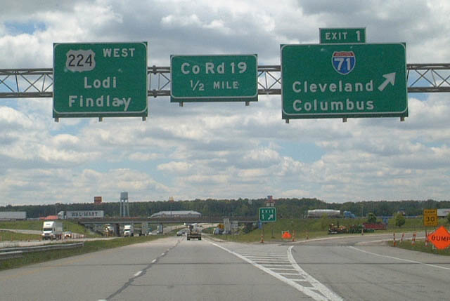
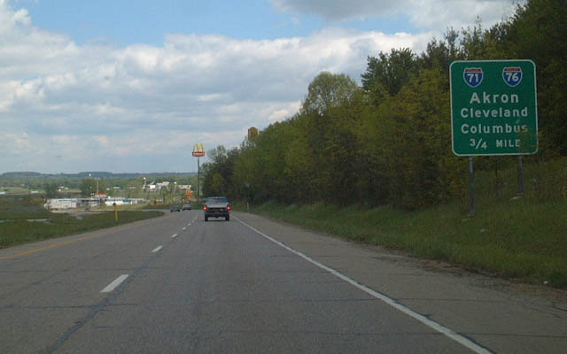
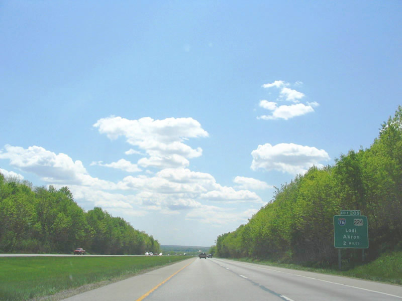
Straddling the north side of the Westfield Center village limits, U.S. 224 makes its way to Interstate 71 and the eastbound beginning of I-76. This button copy sign for I-71 and I-77 was replaced after 2008. 05/21/02
South at
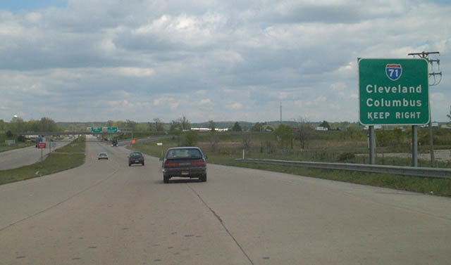
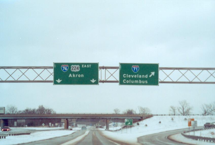
Replaced button copy sign posted two miles north of Interstate 76 on I-71 south in Guilford Township. Photo by Steve Hanudel (05/21/05).