
Interstate 19
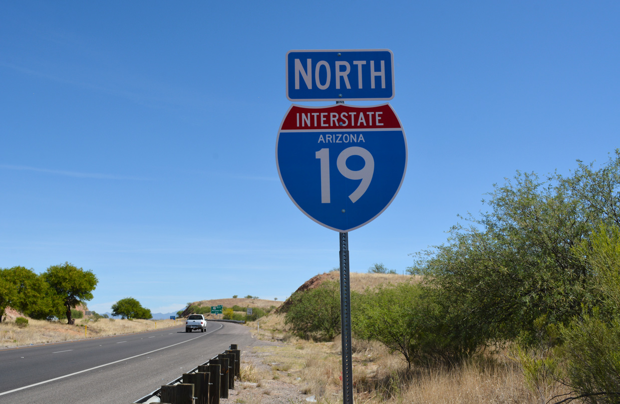
Overview
Interstate 19 connects Nogales and Mexico with I-10 and Tuscon in southern Arizona. The freeway curves west around Crawford Hill from Grand Avenue (old U.S. 89) and the international border to bypass Downtown Nogales north to Arizona State Route 189. North from Rio Rico, I-19 parallels the Santa Cruz River to Tubac, Green Valley and the south suburbs of Tucson. The lone six lane section joins SR 86 with I-10 at South Tucson.
Costing $54 million, the Ajo Way Traffic Interchange project got underway in March 2016. Completed in March 2018, Phase I rebuilt the six-ramp parclo exchange with SR 86 and Ajo Way into a single point urban interchange (SPUI). Additional work added sound walls along I-19 from Ajo Way south to the Michigan Avenue pedestrian bridge.4 Started in July 2018, Phase II of the project expanded southbound I-19 and constructed a braided ramp system between the off-ramp at Exit 98 to Irvington Road and the entrance ramp from Ajo Way . Work on I-19 northbound added an auxiliary lane from Irvington Road to SR 86 / Exit 99, sound walls, and a new pedestrian bridge at Michigan Avenue by mid-January 2020. Costing $32 million, construction on Project II ran through Spring 2020.13,14
Mileage by State
| Arizona | 63.35 mi |
Data Sources
December 31, 2021 Interstate Route Log and Finders List
High Priority Corridor
Interstate 19 from Nogales to Tucson is part of High Priority Corridor 26: CANAMEX Corridor.Parallel U.S. Routes
Interstate 19 ultimately replaced the original route of U.S. 89. Some old segments of U.S. 89 at Tucson and Nogales were incorporated into Business Loops for I-19. The Tuscon business route was eventually decommissioned.History
Interstate 19 opened initially from Rico Rico Drive (Exit 17) to Palo Parado Road (Exit 25) in 1966. A 6.8 mile long section between Chavez Siding Road and Canoa Ranch was finished in 1977.15 That left two segments to build and the freeway was completed in 1979 when the section from Tubac (Exit 34) to Chavez Road (Exit 40) opened to traffic. See the I-19 Arizona guide for the rest of the time line.
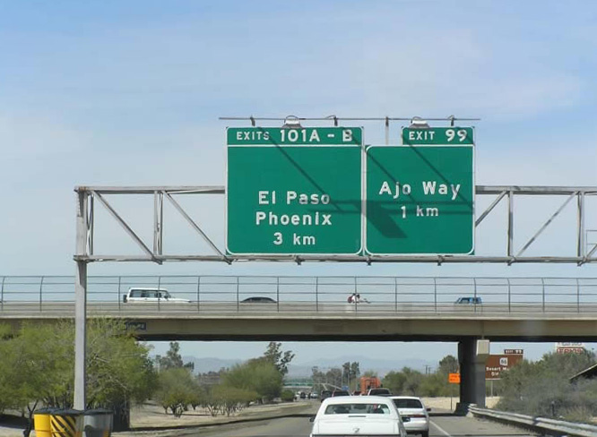
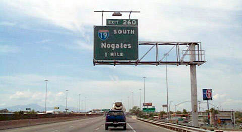
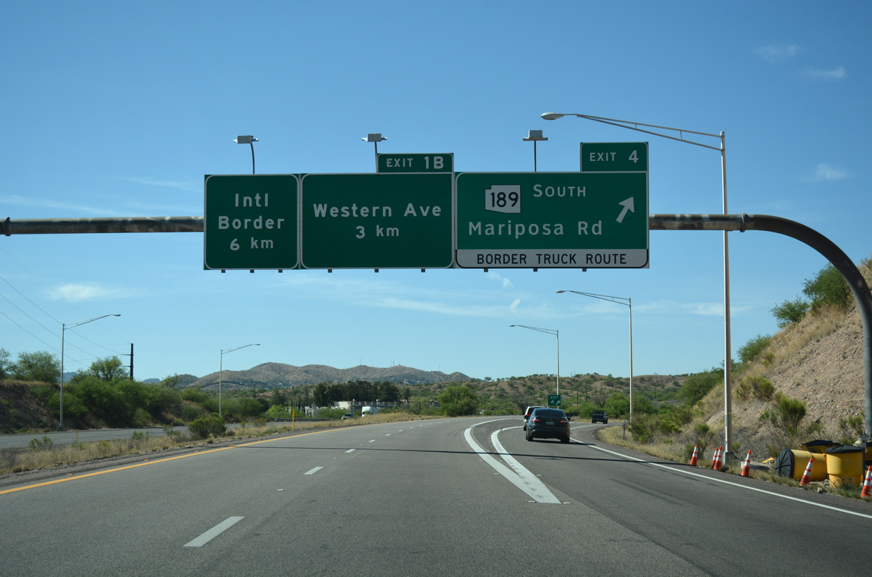
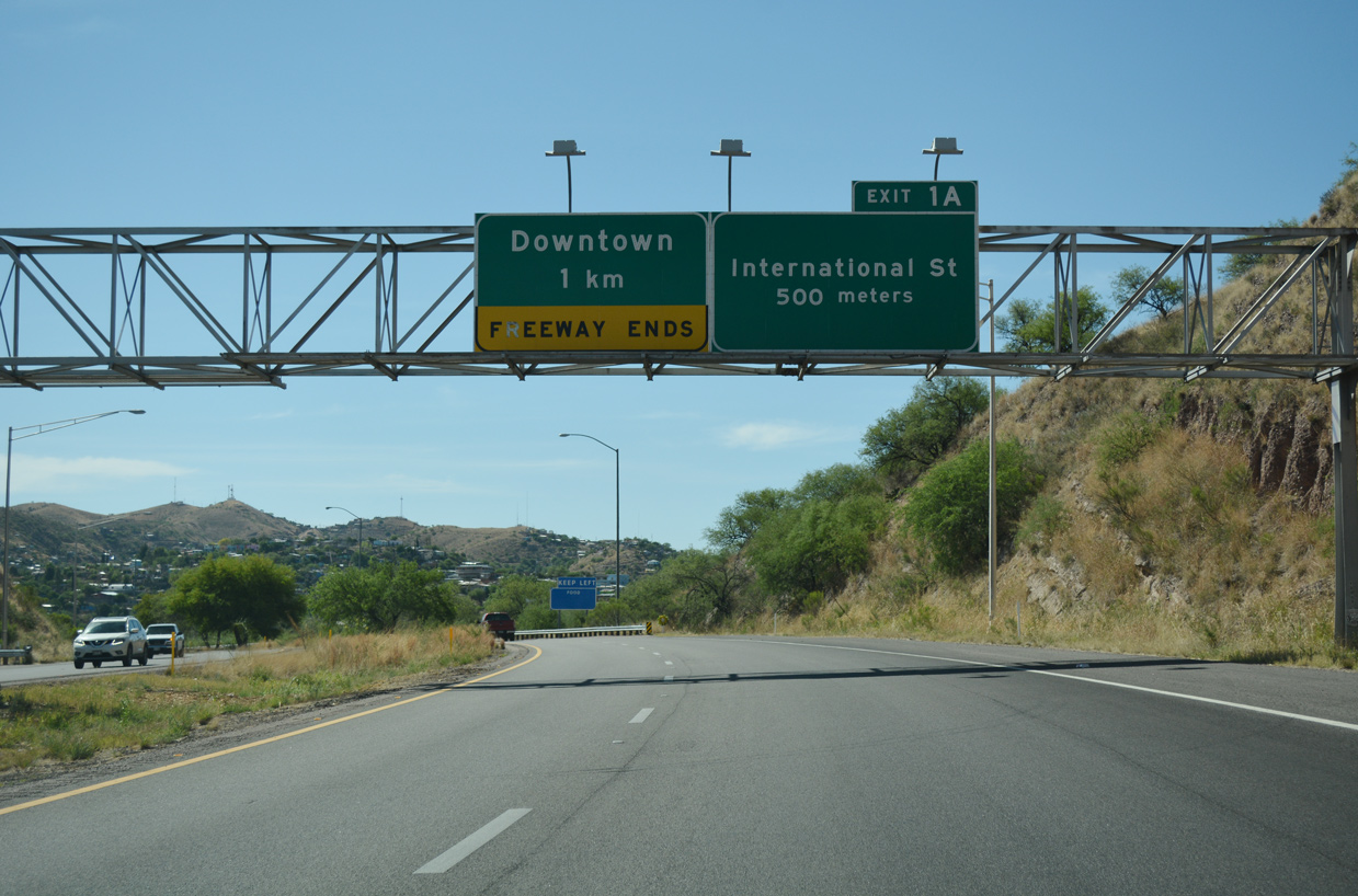
One of the unique features of Interstate 19 is that the exit numbers and distance signs are based on the metric system, a first for the U.S. Interstate system. The use of metric units along I-19 was the result of a President Carter administration pilot project aimed to have the United States adopt the system. The metric units also served as a hospitality measure for Mexican tourists headed north to Tuscon and Phoenix.
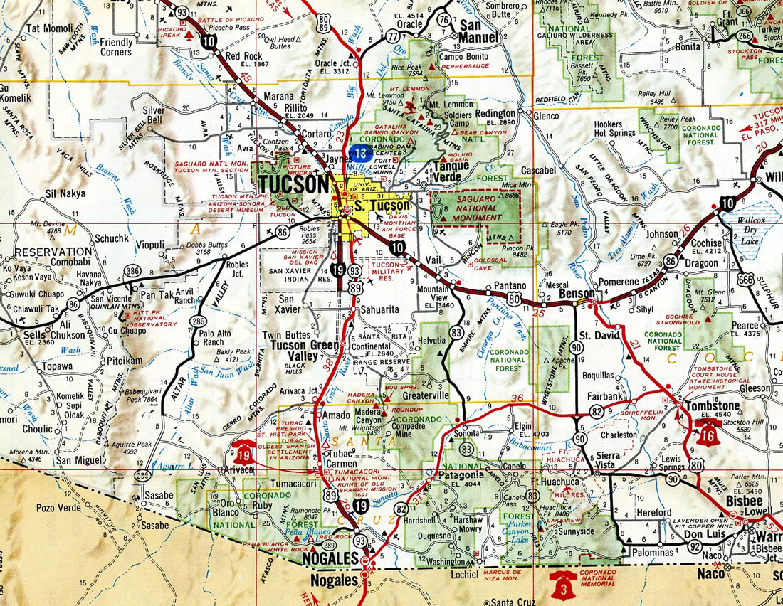
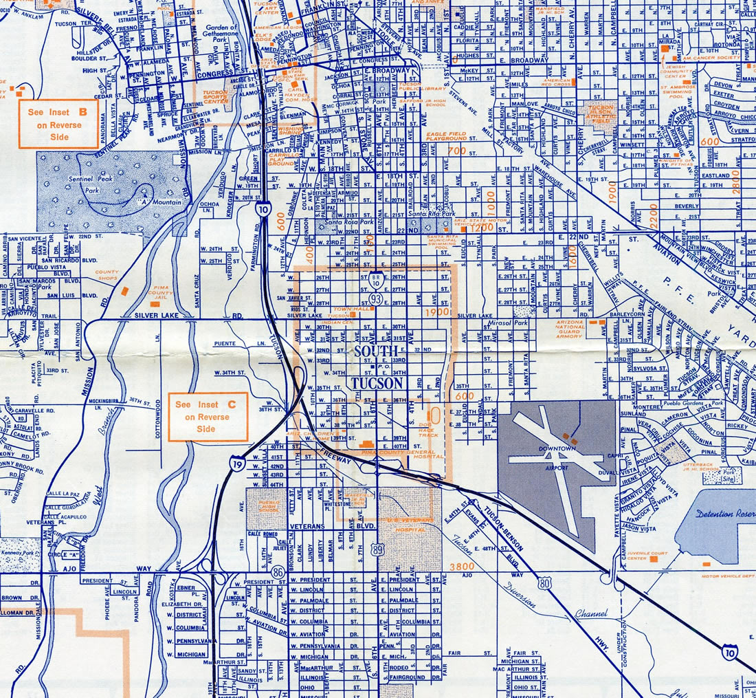
Some of these metric signs were replaced between SR 86 / Ajo Way (Exit 99) and Interstate 10 (Exit 101) as part of the Interstate 10/19 Crossing interchange project. Signs installed during the project in 2004 used English units, while other replacements made since and further south retained the metric system. Vocal opposition from area business owners countered efforts from the Arizona Department of Transportation to switch all of I-19 over to English units.2
The Crossing
Commencing in June 2002, a $54.3 million project replaced the substandard trumpet interchange joining I-19 with Interstate 10 in Tucson. Designed with longer ramps as well as improved geometry, the three level interchange at The Crossing was built slightly west of the original exchange.5 Work added ten bridges and eight ramps and reconstructed I-10 between 22nd Avenue and 10th Avenue and I-19 south to Ajo Way / SR 86. 12th Avenue was also rebuilt between 29th and 38th Streets and ramps from I-10 to 22nd Street were combined with new ones at 29th Street.6 Ramps were also added between I-19 and Silverlake Road.
Concrete columns supporting flyovers at the exchange, including the 60 foot high span from I-10 west to I-19 south, are decorated with maize and sunflowers. Painted tan, green and gold, the artwork represents the maize once grown by the Tohono O'odham tribe near the interchange location. The design was approved following a series of public meetings where different options were presented.7 The Crossings project was formally complete with a dedication ceremony held on August 7, 2004.8
North End  ‐ Tucson, AZ
 North at
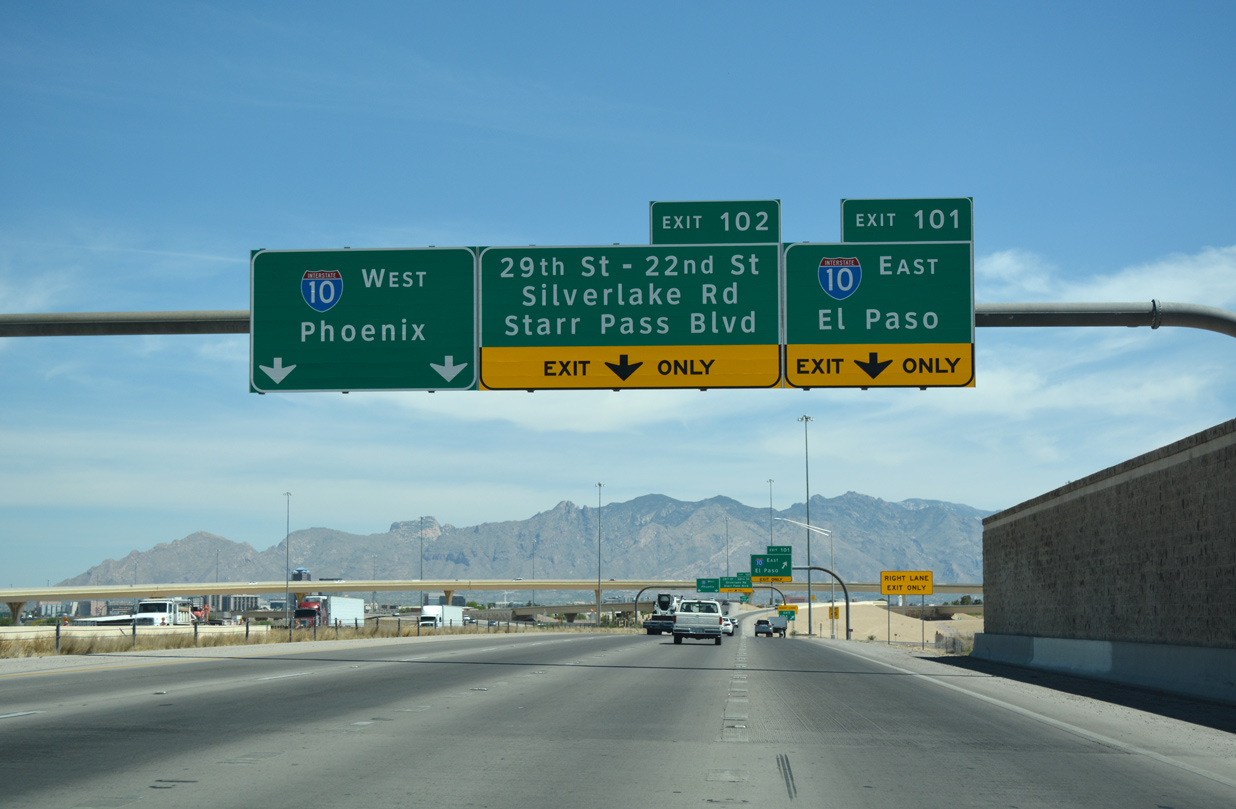
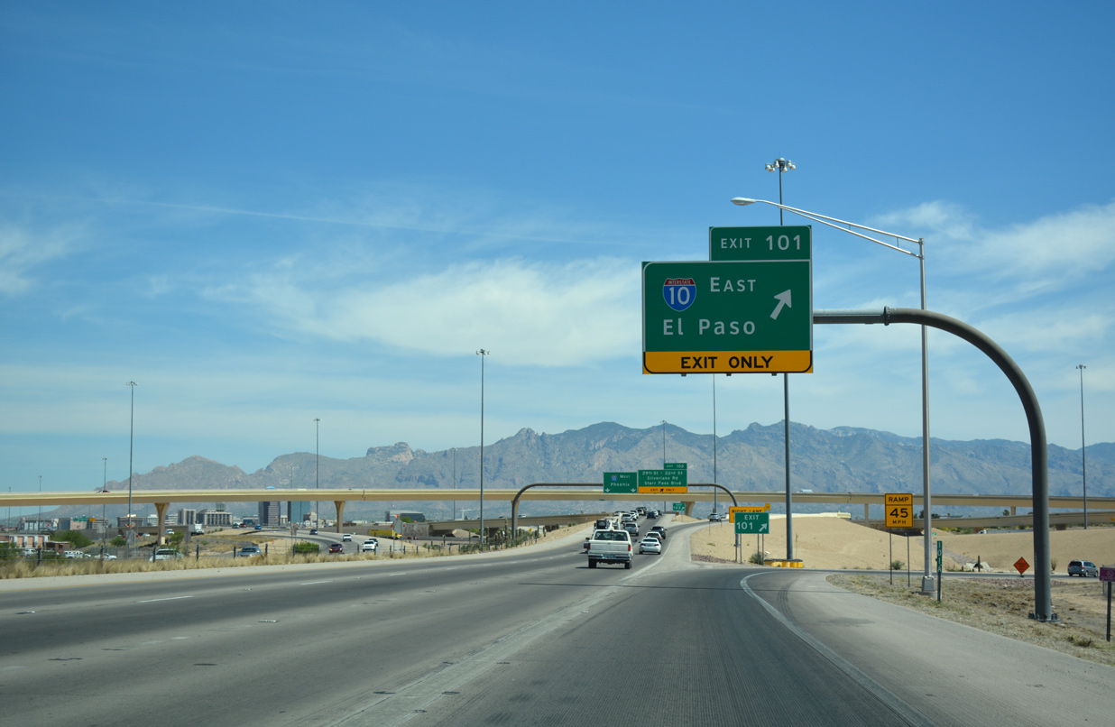
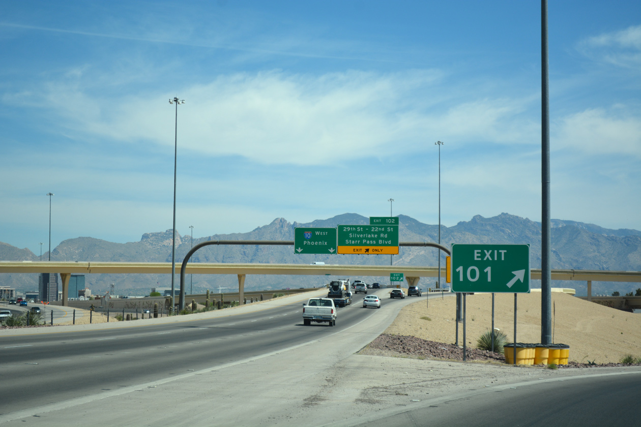
Suburban frontage lines both sides of Interstate 19 from Irvington Road north to the SPUI (Exit 99) with Ajo Way and SR 86. The freeway proceeds north along side the Santa Cruz River to I-10 and Silverlake Road. 04/26/17
East at
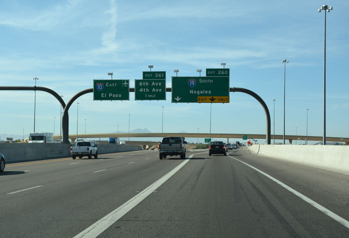
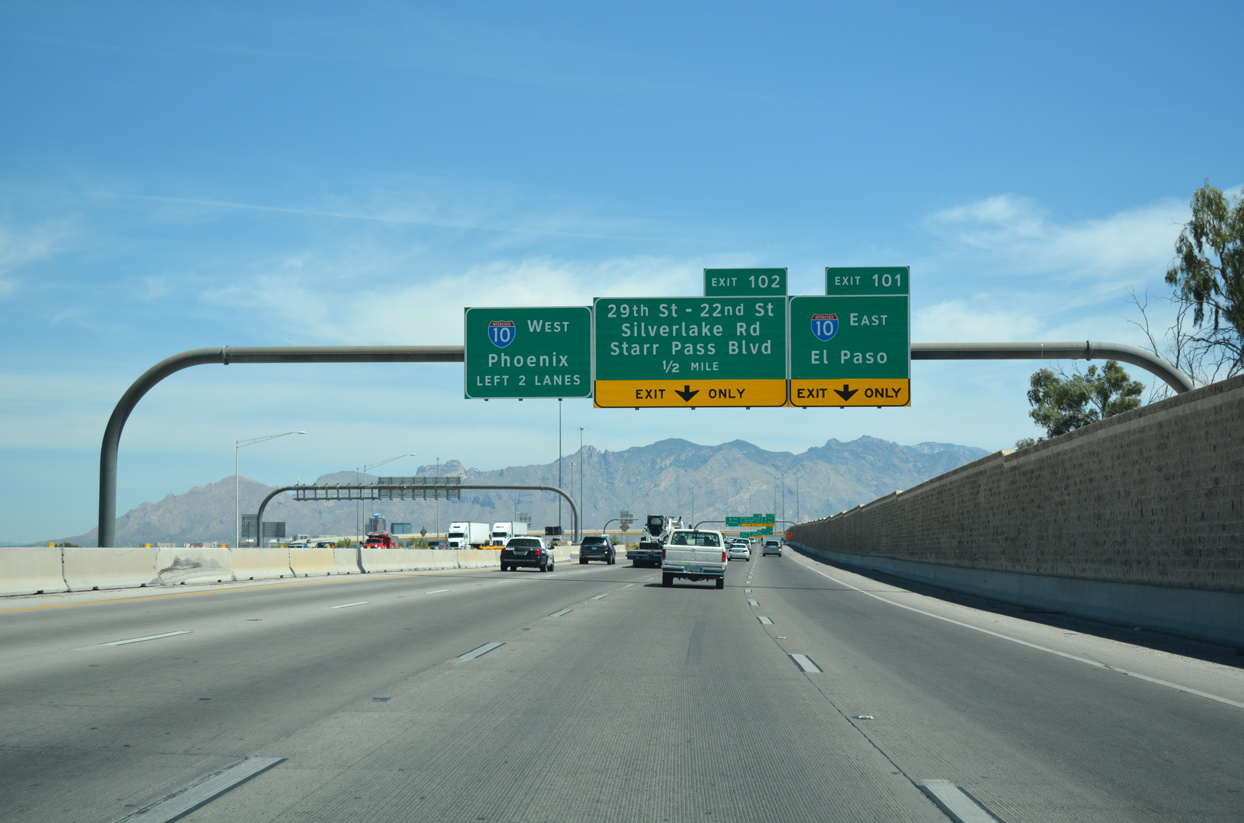
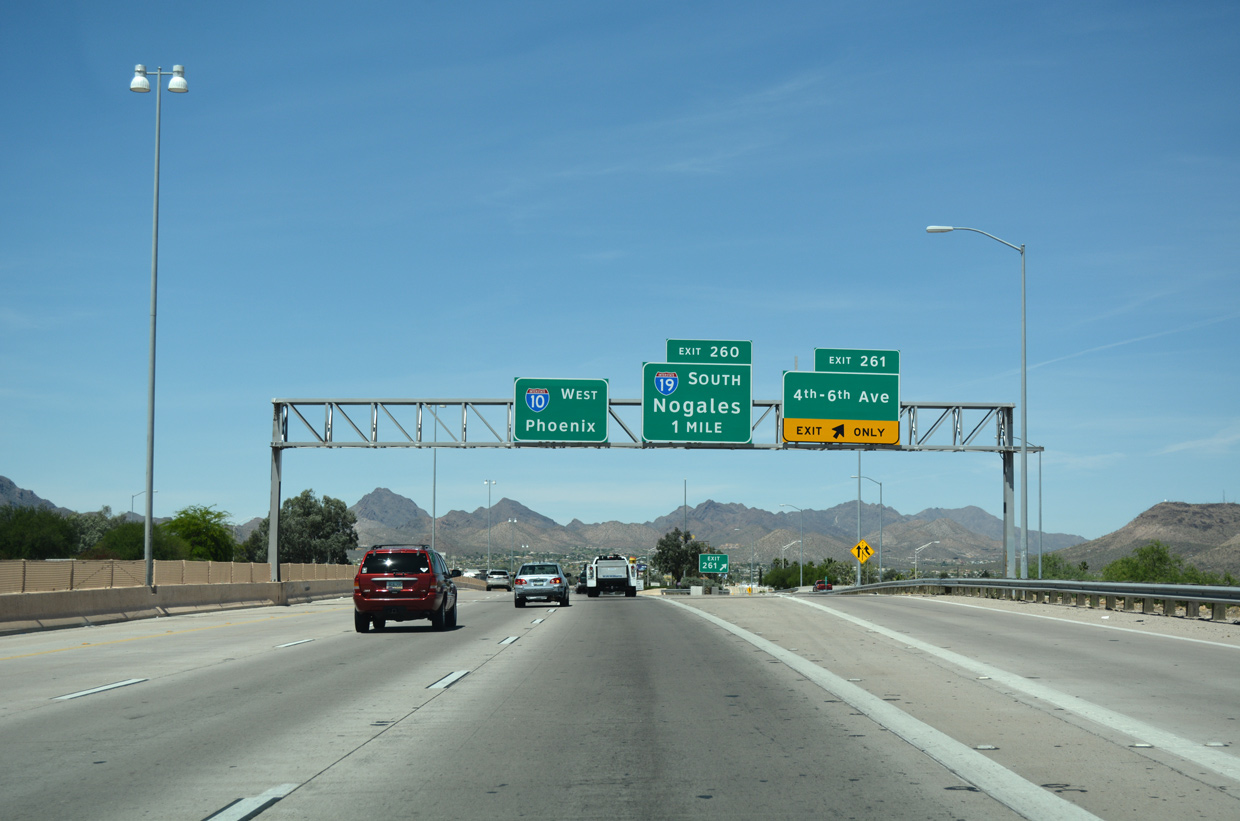
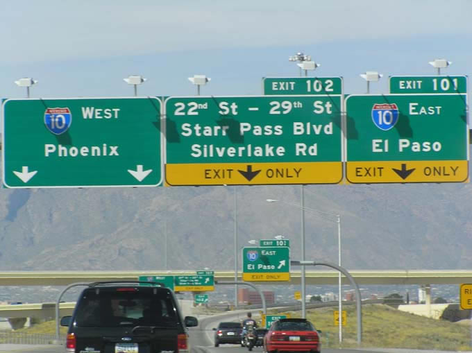
Interstate 10 continues east from Tucson to Benson, Las Cruces, New Mexico and El Paso, Texas while I-19 travels through the south Tucson suburbs and Green Valley over the ensuing 28 miles. 04/26/17
West at
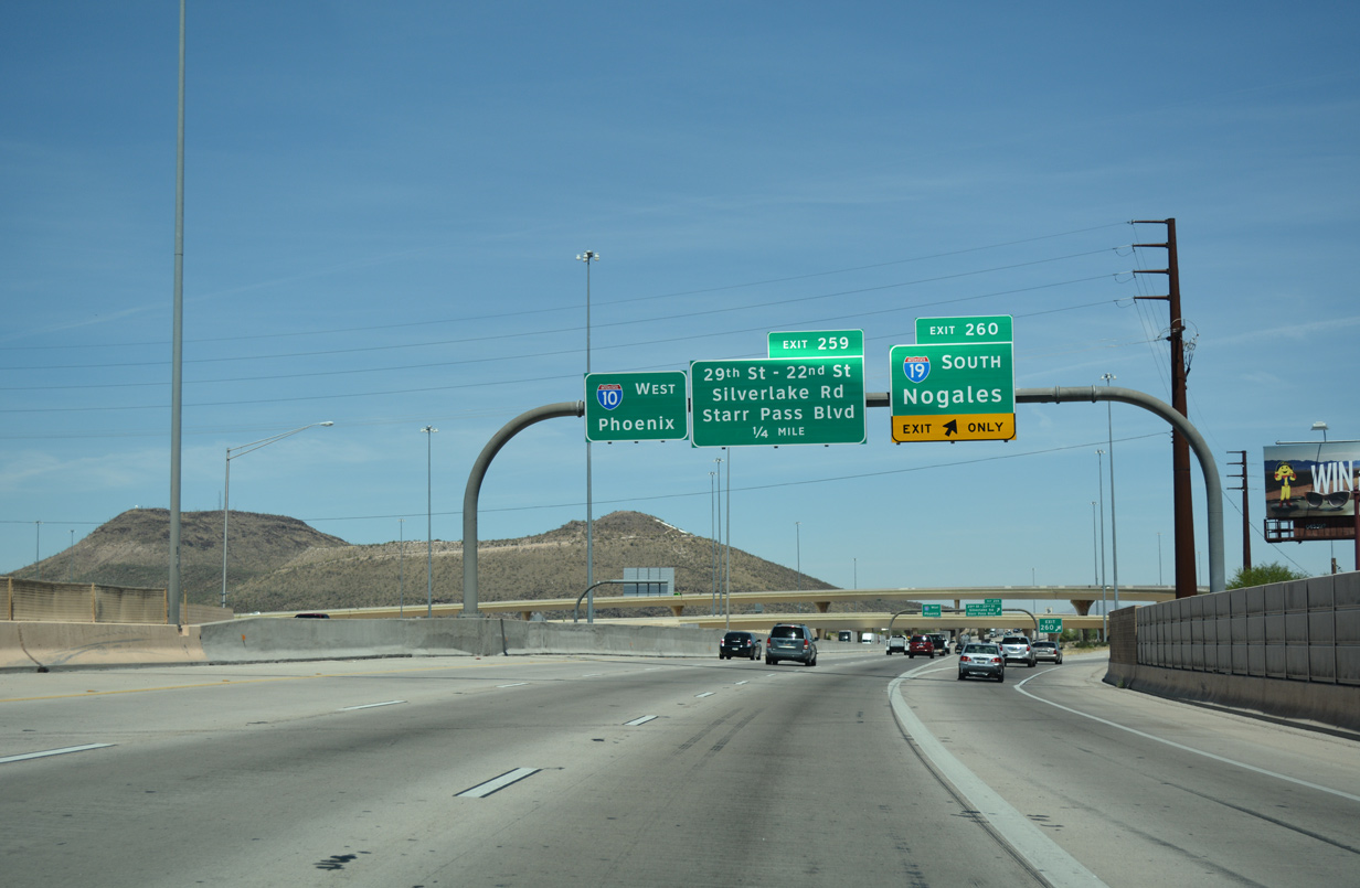
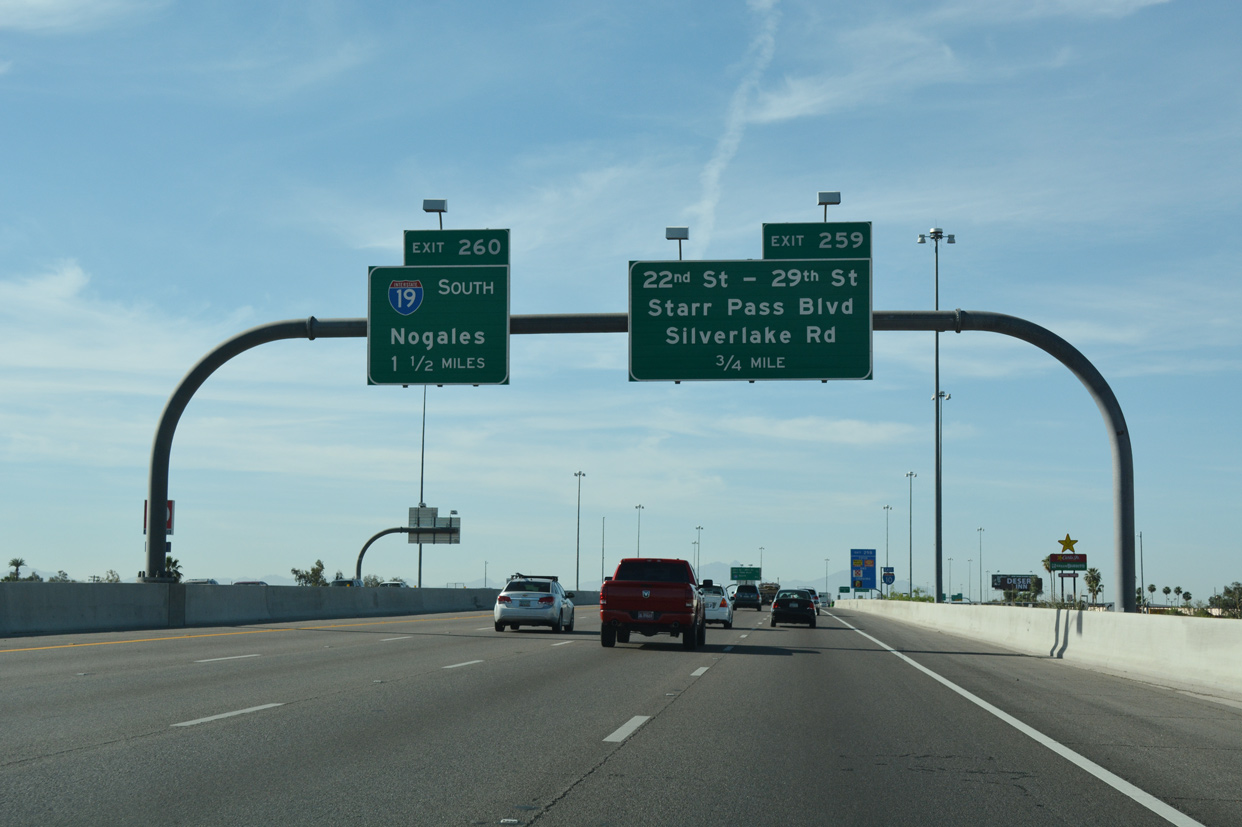
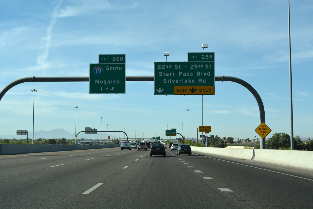
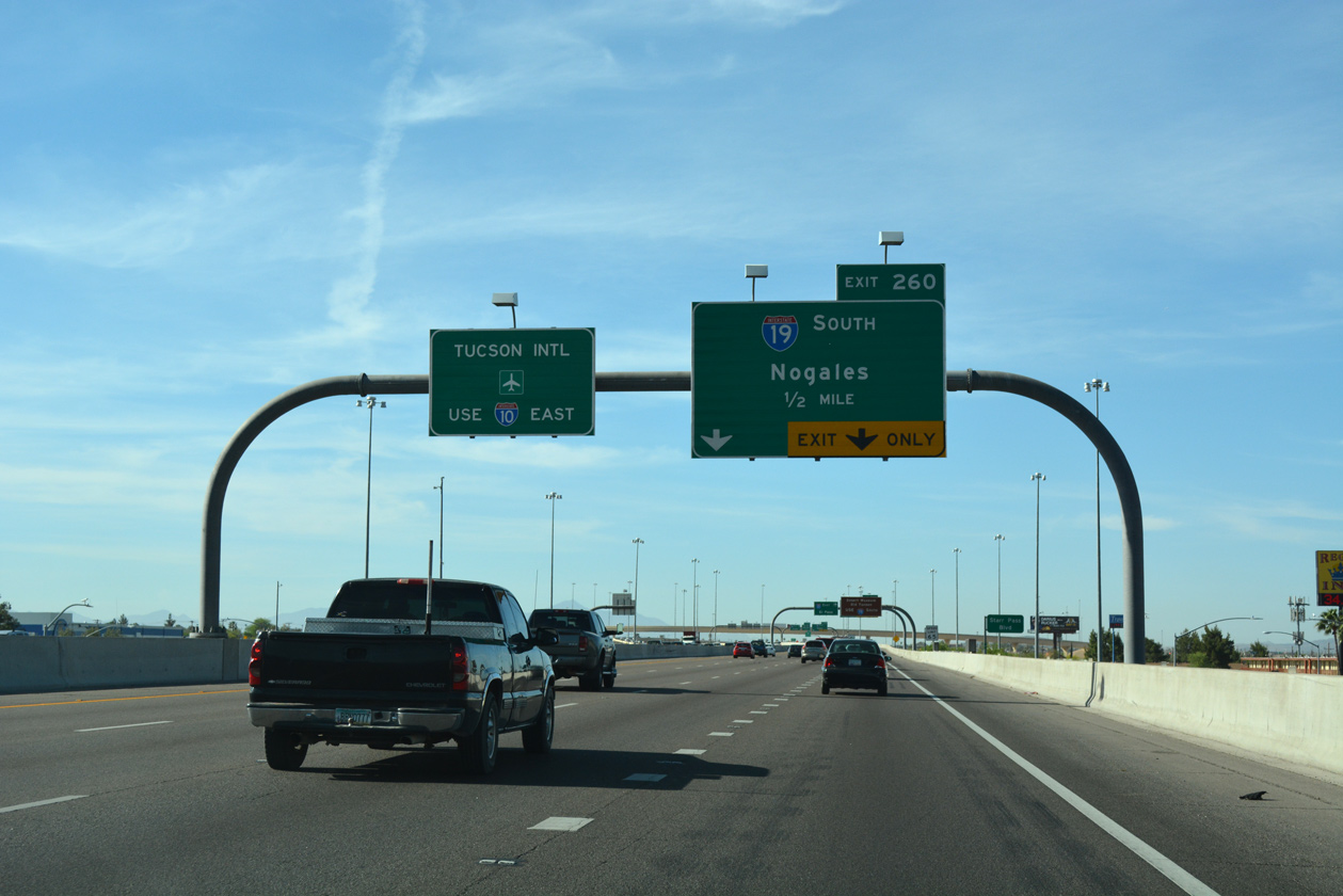
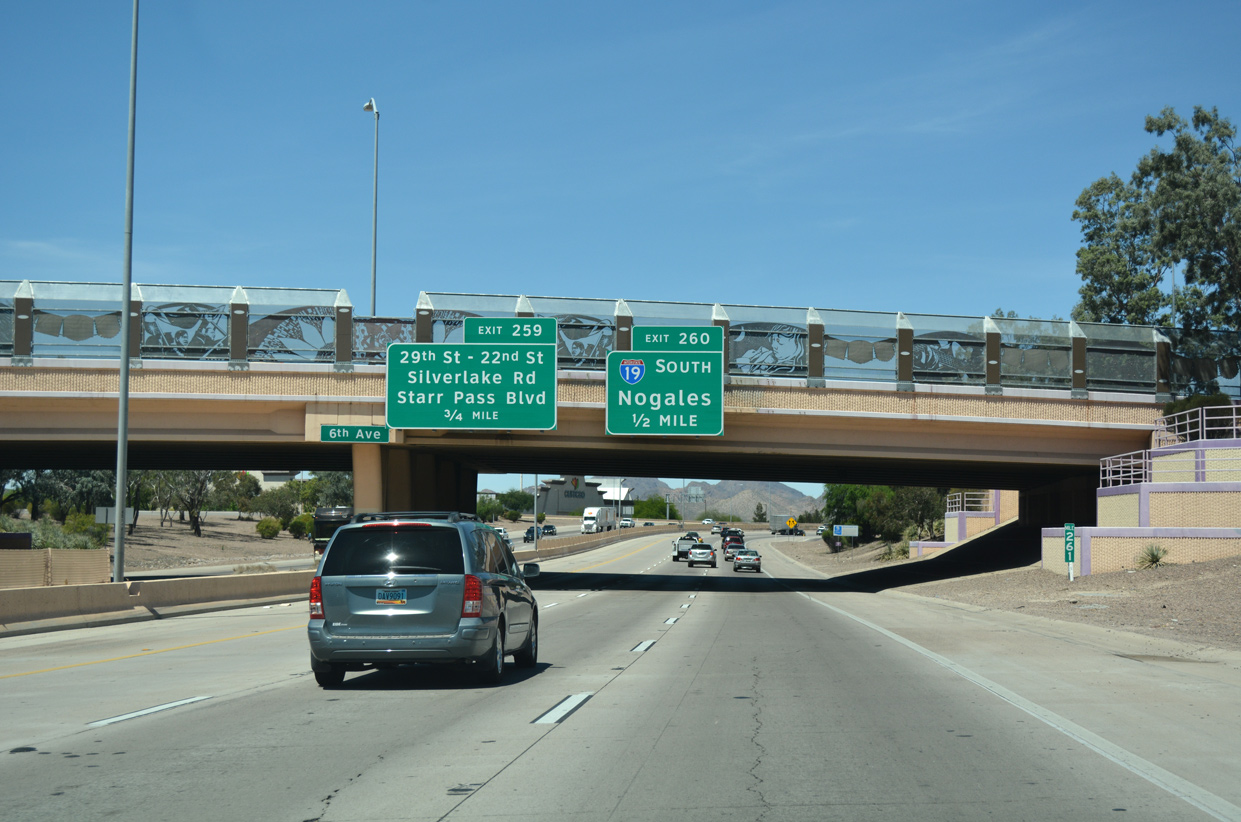
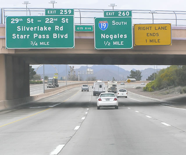
Interstate 10 proceeds west a half mile from 6th Avenue to the directional T interchange (Exit 260) with Interstate 19 south to Nogales and Sonora, Mexico. 04/26/17
North End – Past Views ‐ Tucson, AZ
North at
SR 86 travels westward from Exit 99 and Ajo Way to the Tohono O’odham Nation and SR 85, 12 miles from the community of Ajo. Photo by Eric Harkness (04/02/05).
at
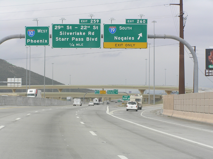
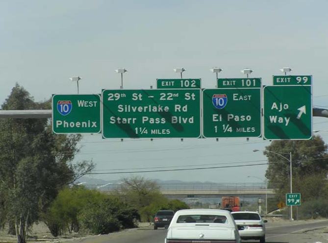
All guide signs along Interstate 10 west at I-19 were replaced to use Clearview font after 2008. Photo by Eric Harkness (04/02/05).
South End  ‐ Nogales, AZ
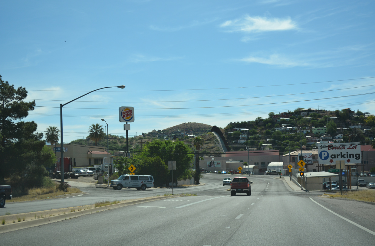
South at / West Street
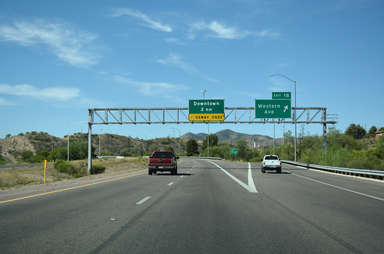
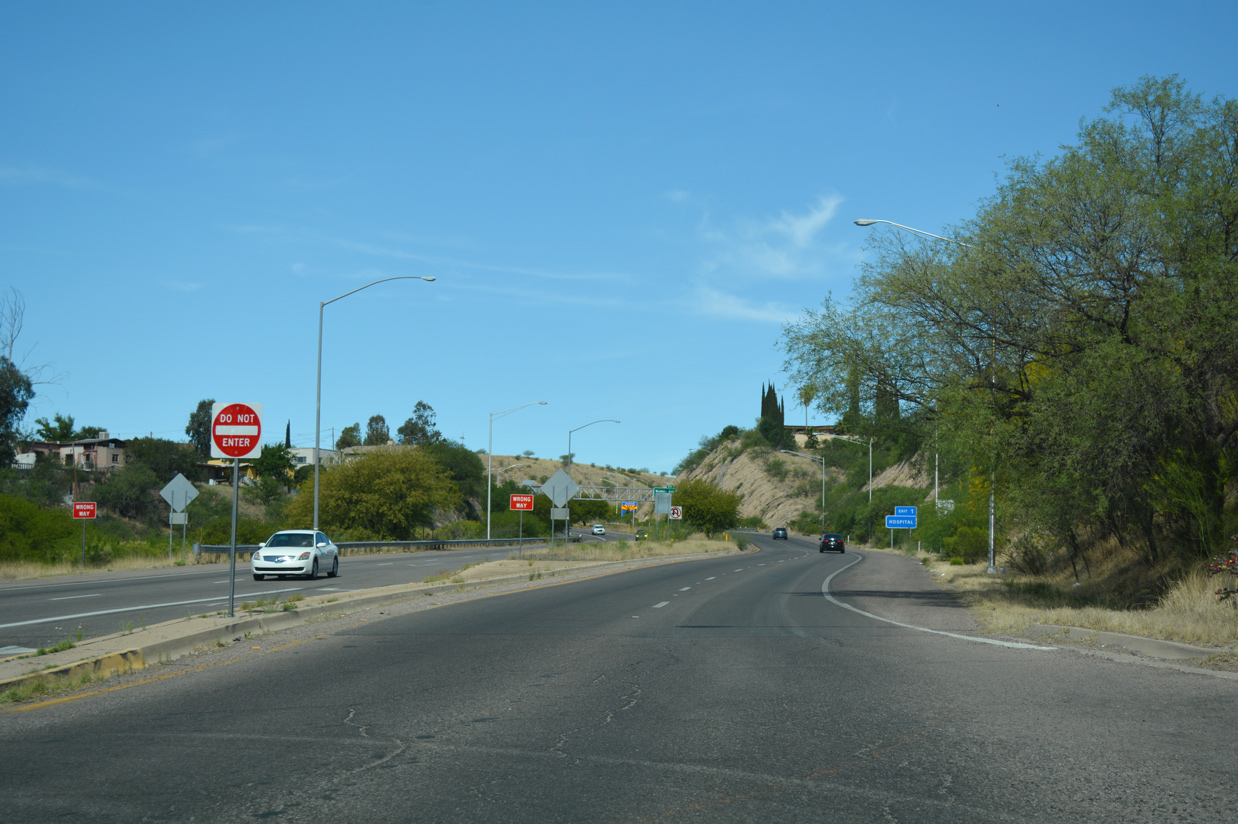
Western Avenue converges with Interstate 19 at Target Range Road and Exit 1B near Ephraim Canyon. The remaining 1.1 miles of I-19 curve east around Crawford Hill to Sonoita Avenue and Downtown Nogales. 04/26/17
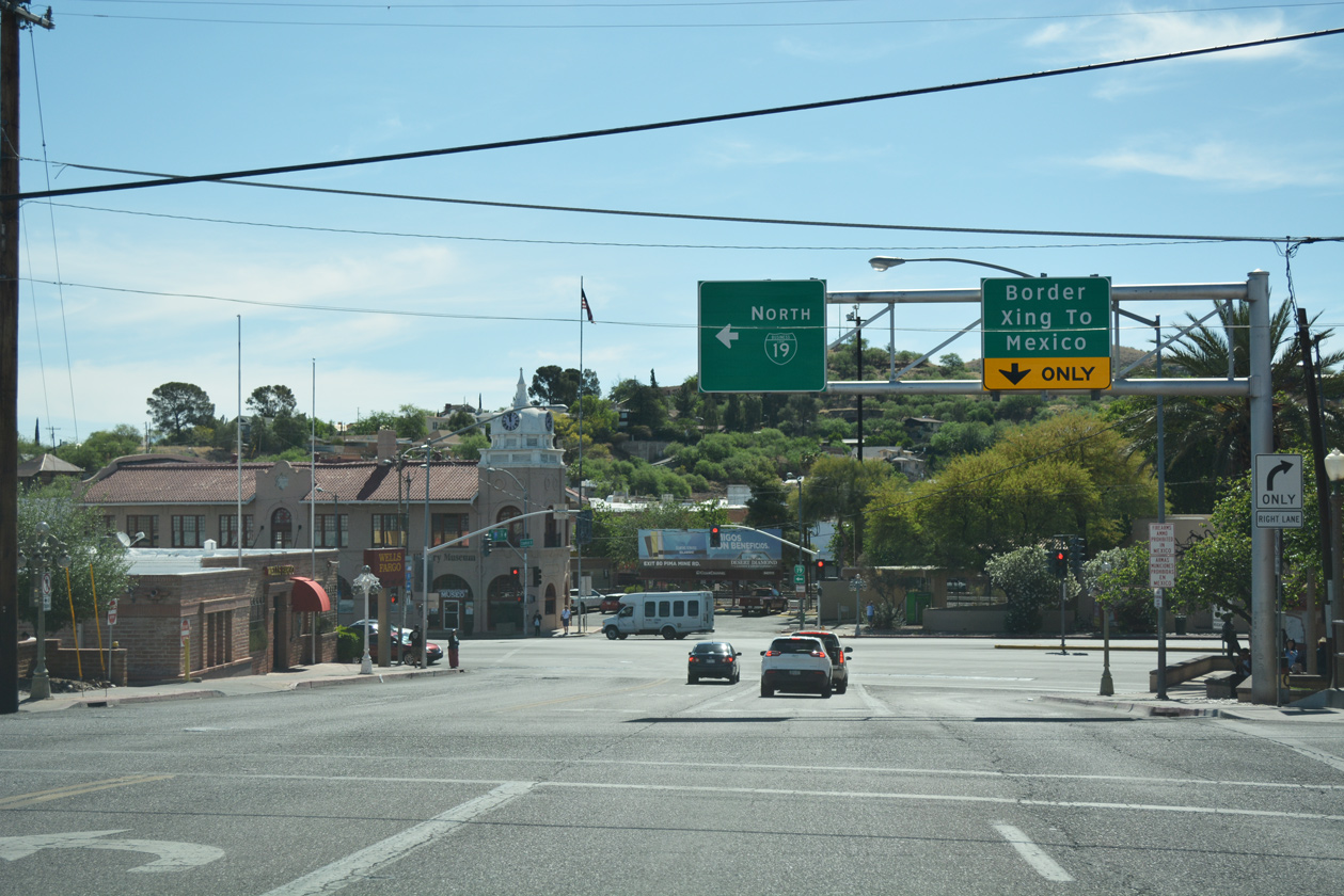
/ Compound Street west at
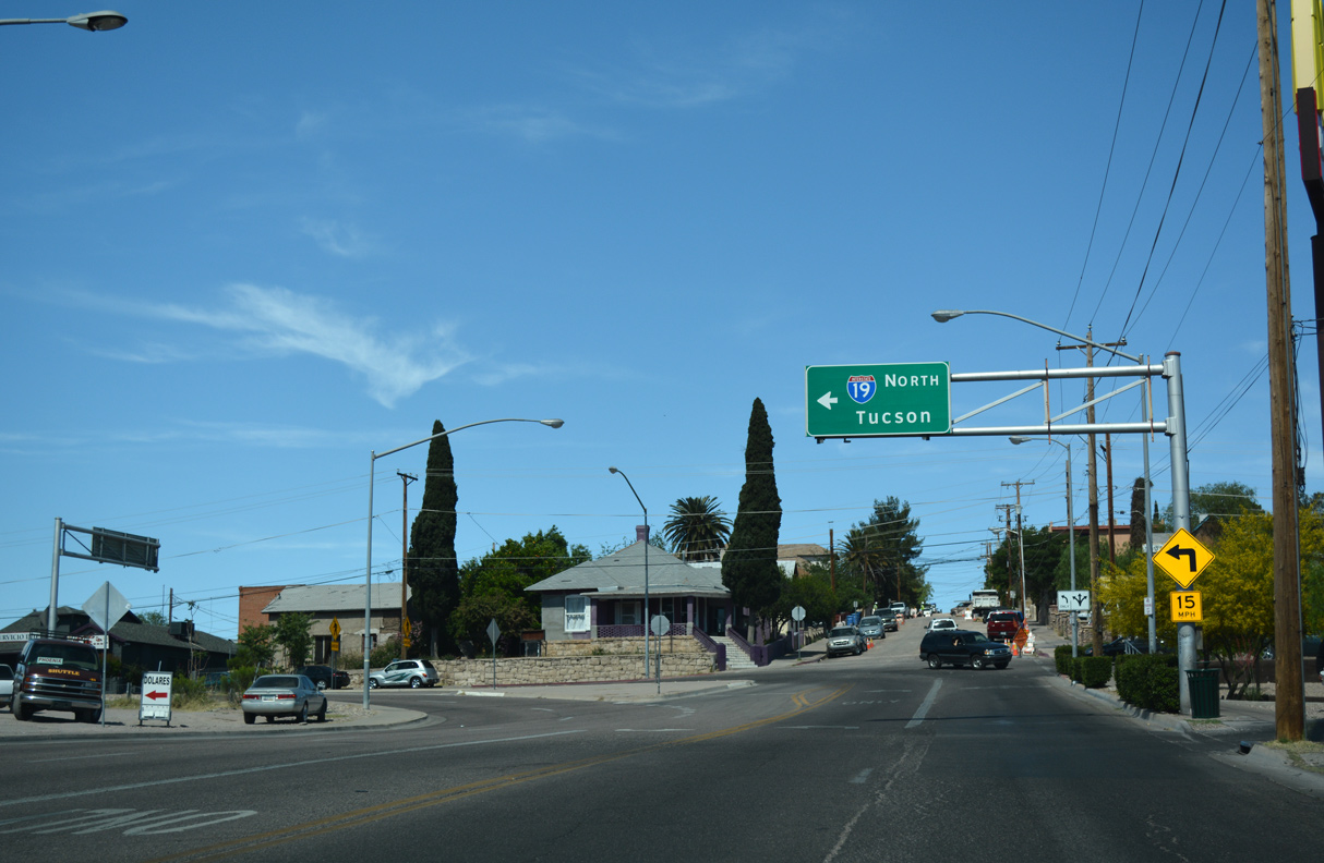
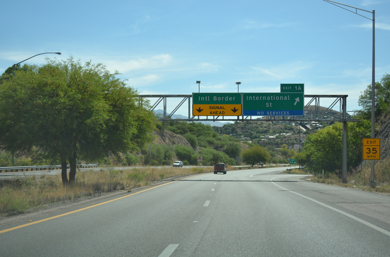
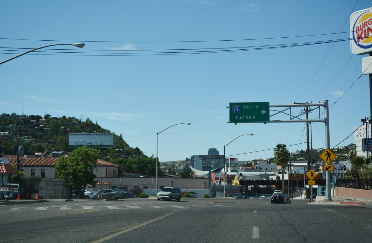
Business Loop I-19 navigates along an S-curve south from Crawford Street outside Downtown Nogales to Interstate 19 via Sonoita Avenue and Compound Street. 04/26/17
References
- "Some I-19 metric signs going," Tucson Arizona Daily Star, January 19, 2004.
- "Arizona highway signs in metric units may change." The Arizona Republic, October 5, 2014.
- Building the I-10/I-19 Traffic Interchange,
http://www.1019crossing.comArizona Department of Transportation project web site. - "ADOT wrapping up first phase of Ajo Way/I-19 improvements." Arizona Department of Transportation (ADOT) News. March 15, 2018. https://azdot.gov/adot-news/adot-wrapping-first-phase-ajo-wayi-19-improvements
- "Construction set for new I-10, I-19 interchange." Green Valley News & Sun (AZ), April 17, 2002
- "I-10/I-19 interchange construction to begin." Green Valley News & Sun (AZ), June 25, 2002.
- 1-10/1-19 interchange - Massive bridge is beginning to reveal its tri-level profile." Green Valley News & Sun (AZ), January 30, 2003.
- "I-10/I-19 work's end cause for celebration." Arizona Daily Star, The (Tucson, AZ), August 3, 2004.
- "Work begins on I-10 improvement project." Arizona Daily Star, The (Tucson, AZ), December 20, 2006.
- "Prince-to-29th I-10 project gets its symbolic start." Arizona Daily Star, The (Tucson, AZ), December 15, 2006.
- "I-10 work nearly done, months early." Arizona Daily Star, The (Tucson, AZ), August 3, 2009.
- "New I-10 lanes about to open: Milestone at The Crossing." Arizona Daily Star, The (Tucson, AZ), August 16, 2003.
- "Second phase of I-19/Ajo Way improvement begins in Tucson." Arizona Department of Transportation (ADOT) News. July 25, 2018. https://azdot.gov/adot-news/second-phase-i-19ajo-way-improvement-begins-tucson
- "New pedestrian bridge across I-19 offers easier access." Arizona Department of Transportation (ADOT) Blog, March 6, 2020. https://azdot.gov/adot-blog/new-pedestrian-bridge-across-i-19-offers-easier-access
- "Throwback Thursday: The when and where." Arizona Department of Transportation (ADOT) Blog, November 14, 2019. https://azdot.gov/adot-blog/throwback-thursday-when-and-where