
Interstate 81
Overview
Following the spine of the Appalachian Mountains, Interstate 81 provides a major trucking corridor and link from the Southeastern States and Tennessee Valley northward to the Northeastern Megalopolis. Interstate 81 does not enter major metropolitan areas; it instead serves an array of small to mid-size cities.
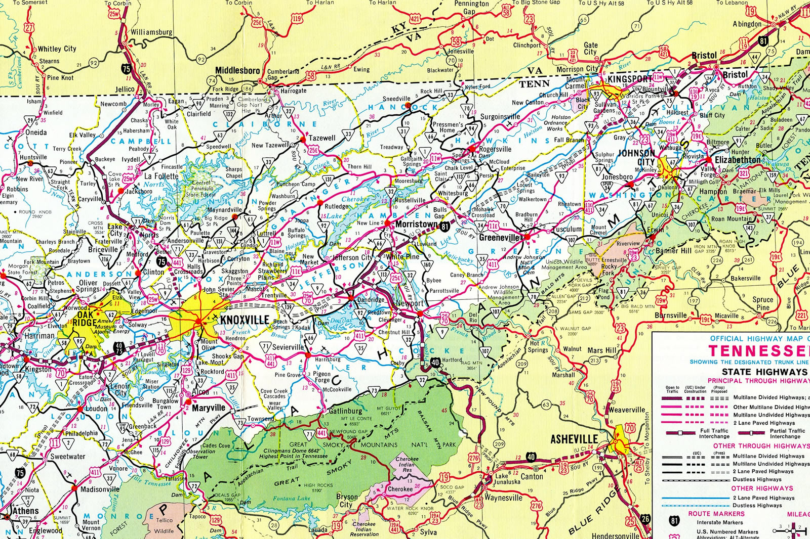
The route commences from a rural directional T interchange near Dandridge, Tennessee to run northeast across agricultural areas and forest land along the west side of the Appalachian Mountains to the Tri-Cities region. A spur route, I-181, once connected I-81 with Kingsport and Johnson City. It was renumbered in 2003 as a northern extension of Interstate 26 from Asheville, North Carolina.
Crossing into Virginia by the two-state city of Bristol, Interstate 81 combines with U.S. 58 to Abingdon. A short spur, I-381, links I-81 with the Bristol city center as the freeway bypasses the community to the north. Further east, I-81 combines with Interstate 77 along a "wrong-way" overlap, where I-77 south combines with I-81 north and vice versa due to their east-west orientation between Wytheville and Fort Chiswell.
I-77 leads north to Charleston, West Virginia and south to Charlotte, adding truck traffic from the Carolinas to Interstate 81 as it progresses northeast to Christiansburg, Roanoke and Lexington. I-581 represents the second urban spur for Interstate 81, as it combines with U.S. 220 south through Roanoke while the parent freeway stays north by Salem.
Interstate 64 combines with I-81 from Lexington northeast to Staunton as part of the route between Beckley, West Virginia and Roanoke, Virginia. Additional truck traffic funnels onto I-81 south from central Virginia via I-64. Northward from I-64, I-81 continues to Harrisonburg, Strasburg and the west end of I-66, and Winchester to exit the state through the Eastern Panhandle West Virginia.
The short stretch through the Mountaineer State takes I-81 through the urban area of Martinsburg. The section concludes at the Potomac River and Williamsport, Maryland. The freeway stays urban along the west side of Hagerstown between the crossroads with I-70 and Hagerstown Regional Airport (HGR). Truck traffic remains heavy as the route enters the Keystone State nearby.
Angling northeast, Interstate 81 and nearby U.S. 11 pass through Chambersburg and Carlisle en route to the Harrisburg area. U.S. 11 provides the connection to Interstate 76 (Pennsylvania Turnpike) in lieu of direct access as I-81 turns more easterly toward the capital city. U.S. 11 eventually turns north along the Susquehanna River, leaving the freeway to follow U.S. 22 to Interstate 78 and an independent route northeast to Hazelton and Wilkes-Barre.
U.S. 11 rejoins the I-81 corridor at Wilkes-Barre, following at-grade routes northeast to Scranton while I-81 hugs the east side of the urban area to I-84/380 and the freeway spur taking U.S. 6 to Carbondale. West from there, I-81 passes between urban Scranton and Dickson City and briefly combines with U.S. 11 to the north end of Interstate 476 (Pennsylvania Turnpike - Northeast Extension).
The remainder of Interstate 81 generally travels north along side U.S. 11 between Scranton and the Thousand Islands Bridge into Canada. An urban stretch takes I-81 through the city of Binghamton, where NY 17/I-86 overlap to the Prospect Mountain Construction Project. The long term rebuild of I-81/86 between NY 7 and their split over the west banks of the Chenango River was completed on December 1, 2019.12 I-86 follows the Southern Tier of New York west to Elmira and Corning while I-81 joins Binghamton with Cortland and Syracuse.
Through Syracuse, I-81 passes through the city center while Interstate 481 provides a suburban bypass to the east. The I-81 Viaduct Project study evaluated options for addressing the aging viaduct around Downtown. The Preferred Alternative is the Community Grid, which replaces a portion of I-81 with an at-grade boulevard and relocates I-81 over I-481. With the release of the Final Environmental Statement, ground breaking is scheduled for Fall 2022.
Beyond Syracuse, I-81 travels along a mostly rural course east of Lake Ontario to Watertown, where Interstate 781 spurs east to Fort Drum. The northern extent of I-81 ties into the Thousand Islands Bridge system spanning the St. Lawrence Seaway to the freeway along Ontario Highway 401 in Canada.
Mileage by State
| Tennessee | 75.66 mi |
| Virginia | 324.92 mi |
| West Virginia | 26.00 mi |
| Maryland | 12.08 mi |
| Pennsylvania | 232.76 mi |
| New York | 183.60 mi |
Data Sources
December 31, 2021 Interstate Route Log and Finders List
Parallel U.S. Routes
U.S. 11 parallels freeways for the majority of route from New Orleans north to Watertown, New York. I-81 runs along the US highway from east of Bristol, Virginia to Upstate New York, with the exception of between Harrisburg and Wilkes-Barre, Pennsylvania. Through Tennessee, U.S. 11 partitions into the branches of 11E and 11W, along the Interstate 81 corridor between Knoxville and Bristol. U.S. 22 also parallels the freeway from Harrisburg northeast to I-78 near Jonestown, Pennsylvania.
Interstate 81 through Syracuse
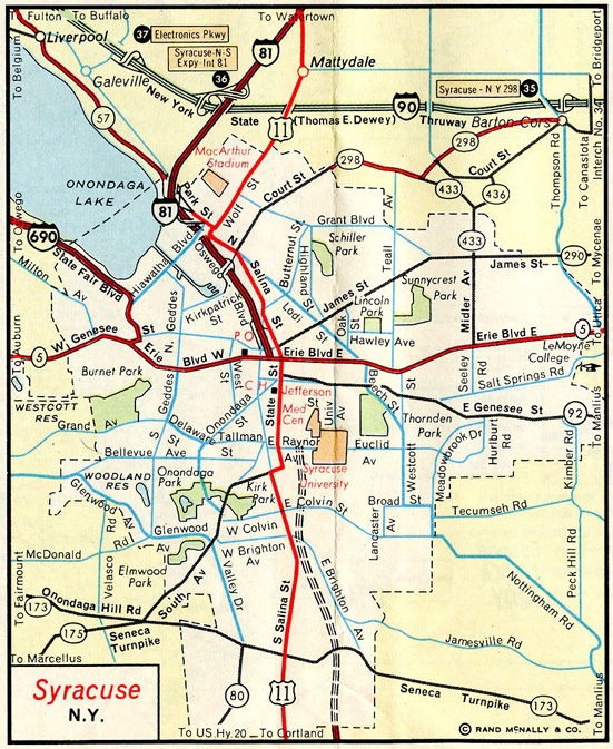
Constructed in the 1950s and 60s, the 1.4 mile long elevated viaduct of Interstate 81 through Syracuse is deteriorating and in need of replacement. The substandard design also does not meet current Interstate standards. An environmental review process was initiated by the New York State Department of Transportation (NYSDOT) and Federal Highway Administration (FHWA). Preliminary engineering commenced in 2015 to evaluate various alternatives proposed for addressing future transportation needs along Interstate 81 and for the city of Syracuse.
Those considered include a major overhaul of the Syracuse freeway network, where I-81 would be relocated along Interstate 481 and the through-route of I-81 be severed and replaced by state-maintained urban boulevard to the south and a freeway spur from the north. Associated work of the estimated $1.9 billion, Community Grid plan would redesign the north and south ends of I-81 to provide two through lanes in each direction with 65 MPH design speeds. Other alternatives included replacing the elevated route of I-81 through Syracuse with a modern viaduct at the cost of $2.2 billion. Open houses and a series of public meetings preceded the selection of the preferred alternative by NYSDOT8.
State officials selected the Community Grid option in April 2019. Additional public meetings followed and comments on the Draft Environmental Impact Statement (DEIS) for the Community Grid were taken by the FHWA and NYSDOT until September 14, 2021. The Final Environmental Impact Statement was published on April 15, 2022, allowing for the planned ground breaking to take place in Fall 2022.
The American Association of State Highway Officials (AASHO) approved conditionally both the elimination of I-81 through the city of Syracuse and the realignment of I-81 in place of I-481 at the Spring 2021 Meeting. Business Loop I-81 was also approved in place of the existing I-81 between south Syracuse and the town of Cicero.
History
Tennessee's portion was completed by 1975.4 Further north in Virginia, Interstate 81 opened between November 1959 and July 1987. The first portion of any Interstate highway opened in West Virginia was the segment of I-81 through Berkeley County in 1961.7 The Maryland portion of Interstate 81 first opened in 1962 between U.S. 40 and the Maryland state line. Completion of the southern segment within the Free State followed by the mid 1960s.3
Interstate 81 within Pennsylvania opened in segments between 1960 and 1976.2 Within New York, Interstate 81 was established in 1957, with construction completing the route between 1967 and 1969.5
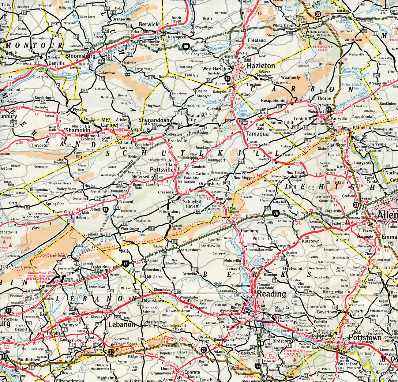
A branch route of Interstate 81 was designated from Scranton southeast to Pocono Township in northeastern Pennsylvania. Initially proposed as part of Interstate 82 by Pennsylvania on August 14, 1957, the route was renumbered by the American Association of State Highway Officials (AASHO) on June 27, 1958 as Interstate 81S.6 This later was renumbered again to I-81E and ultimately to Interstate 380 as confirmed by AASHO on June 20, 1972.
A 4.1 mile section of I-81 in the city of Syracuse, New York opened to traffic north from U.S. 11 (Exit 16) at Neadrow to Exit 17 (Calthrop Avenue) in December 1965. Completion of this segment allowed motorists to save six to eight minutes of travel time over parallel U.S. 11 along Salina Street. Construction finished a year and 45 days ahead of schedule. By late December 1965, Interstate 81 was extended another a 22.7 miles south to Polkville (Exit 10).10
The final portion of Interstate 81 in New York built was the 4.96 mile segment crossing Wellesley Island. Opened over a year ahead of schedule, barricades were removed along the new section without fanfare at 11 AM on November 18, 1970. The four lane freeway linked the Thousand Island Bridge with the International Rift Bridge.11
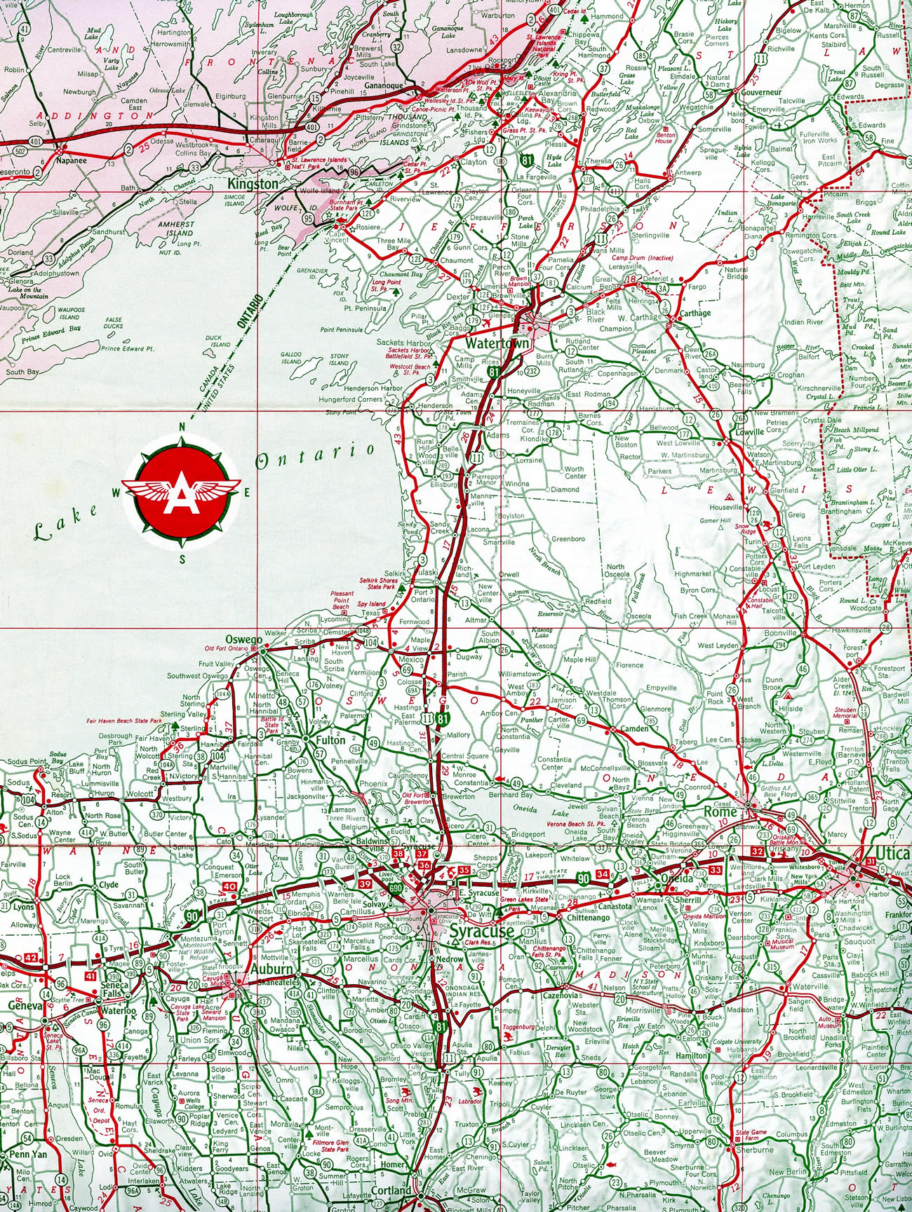
The north end of Interstate 81 ties into the Alexandria Bay Port of Entry on Wellesley Island. The port of entry dates back to 1938, when the Thousand Islands International Bridge System was built. The Main Administration Building and Passenger Processing Facility was constructed by the Thousand Islands Bridge Authority in 1975. A $215 million modernization and expansion project got underway at the crossing on August 30, 2017. Improving efficiency and upgrading outdated infrastructure, the two phase project relocated the port nearly 300 yards south of the previous and added to the number of inspection lanes. A ribbon cutting event was held by U.S. Customs and Border Protection (CBP) on July 21, 2022.13
North End ‐ Canadian International Border – Alexandria Bay, NY
 North
North
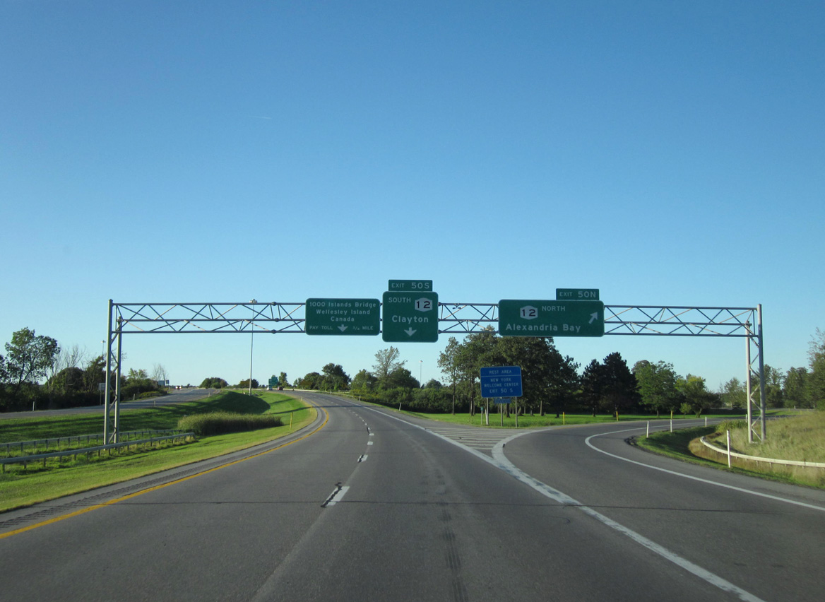
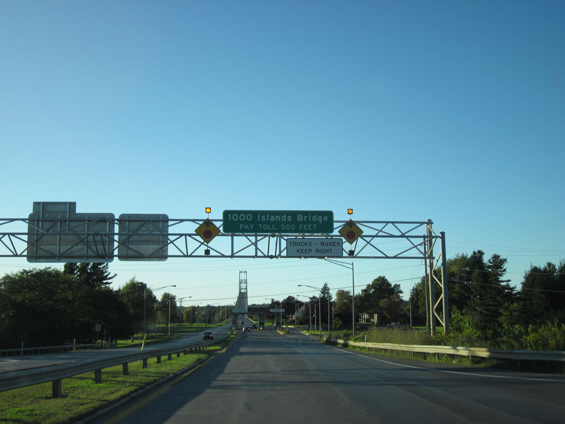
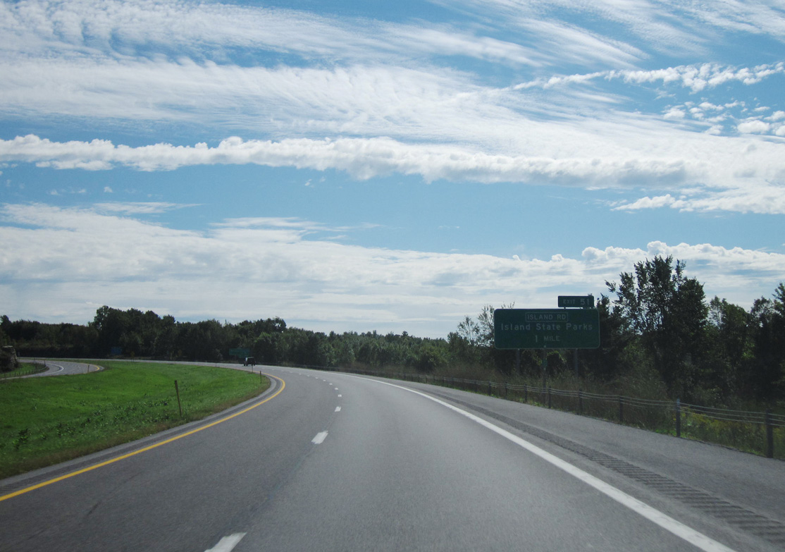
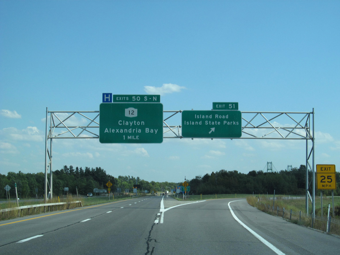
Interstate 81 meets NY 12 at a cloverleaf interchange (Exit 50) between the town of Orleans and Alexandria, just ahead of the 1,000 Islands Bridge. Photo by Doug Kerr (09/10/11).
 at
at
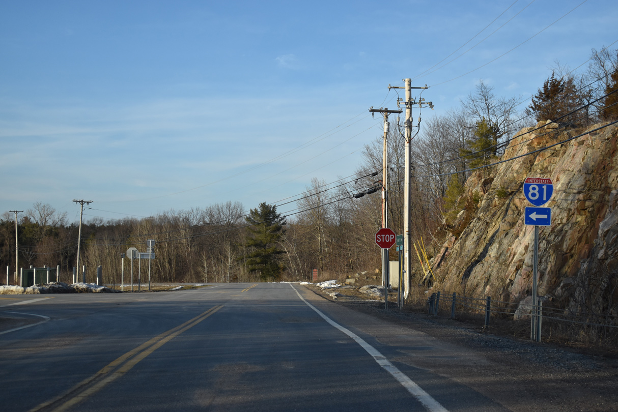
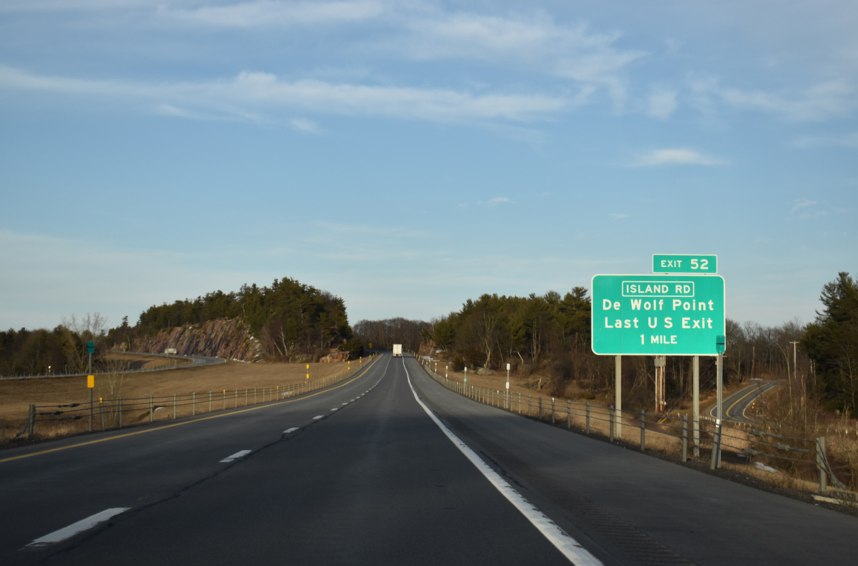
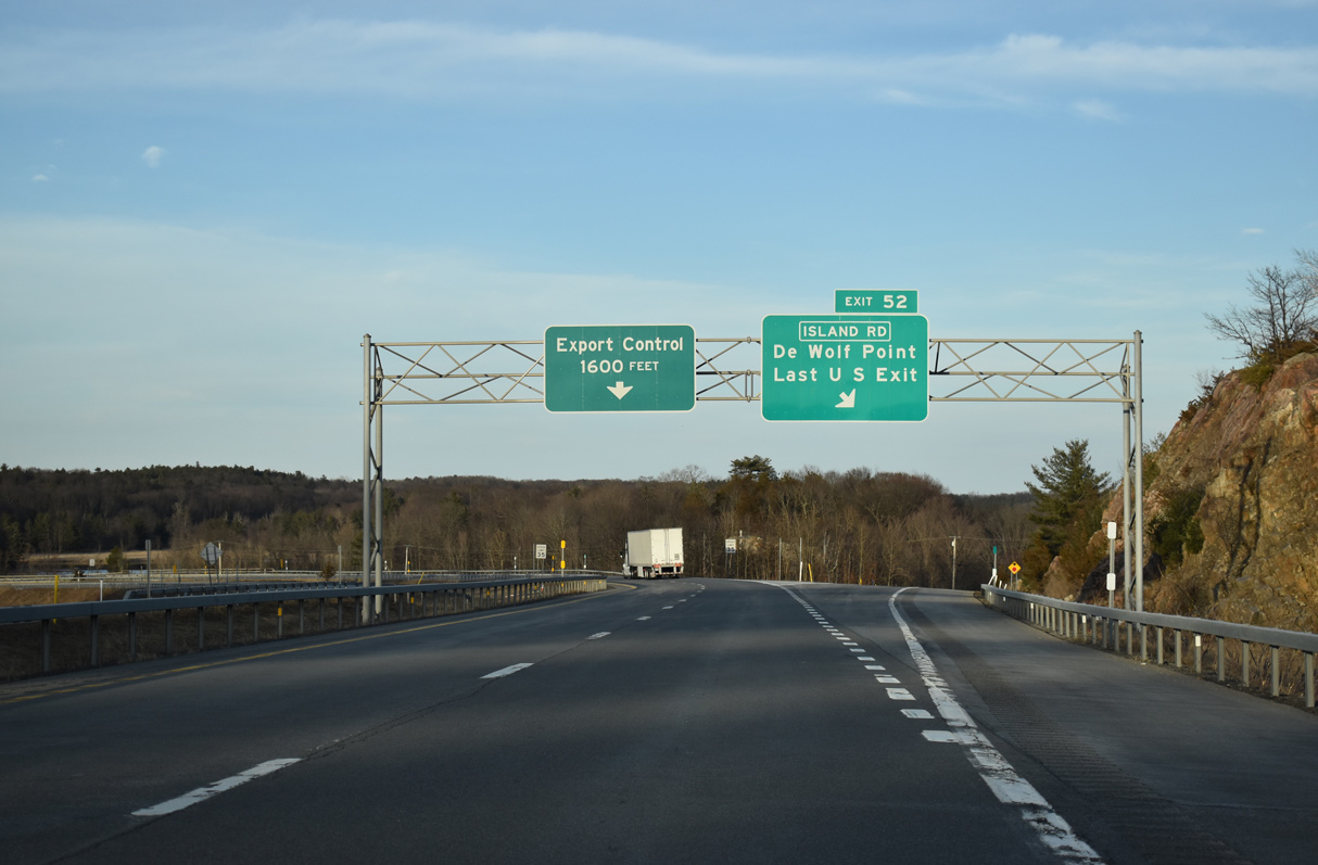
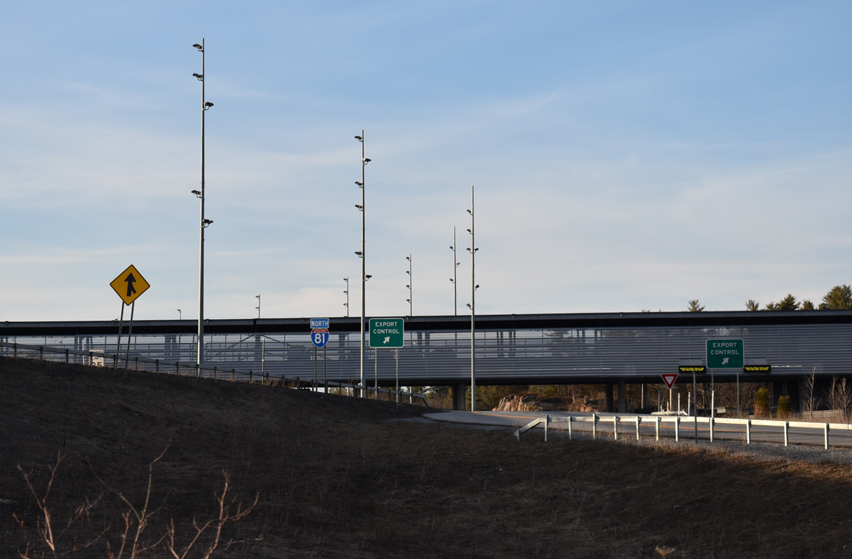
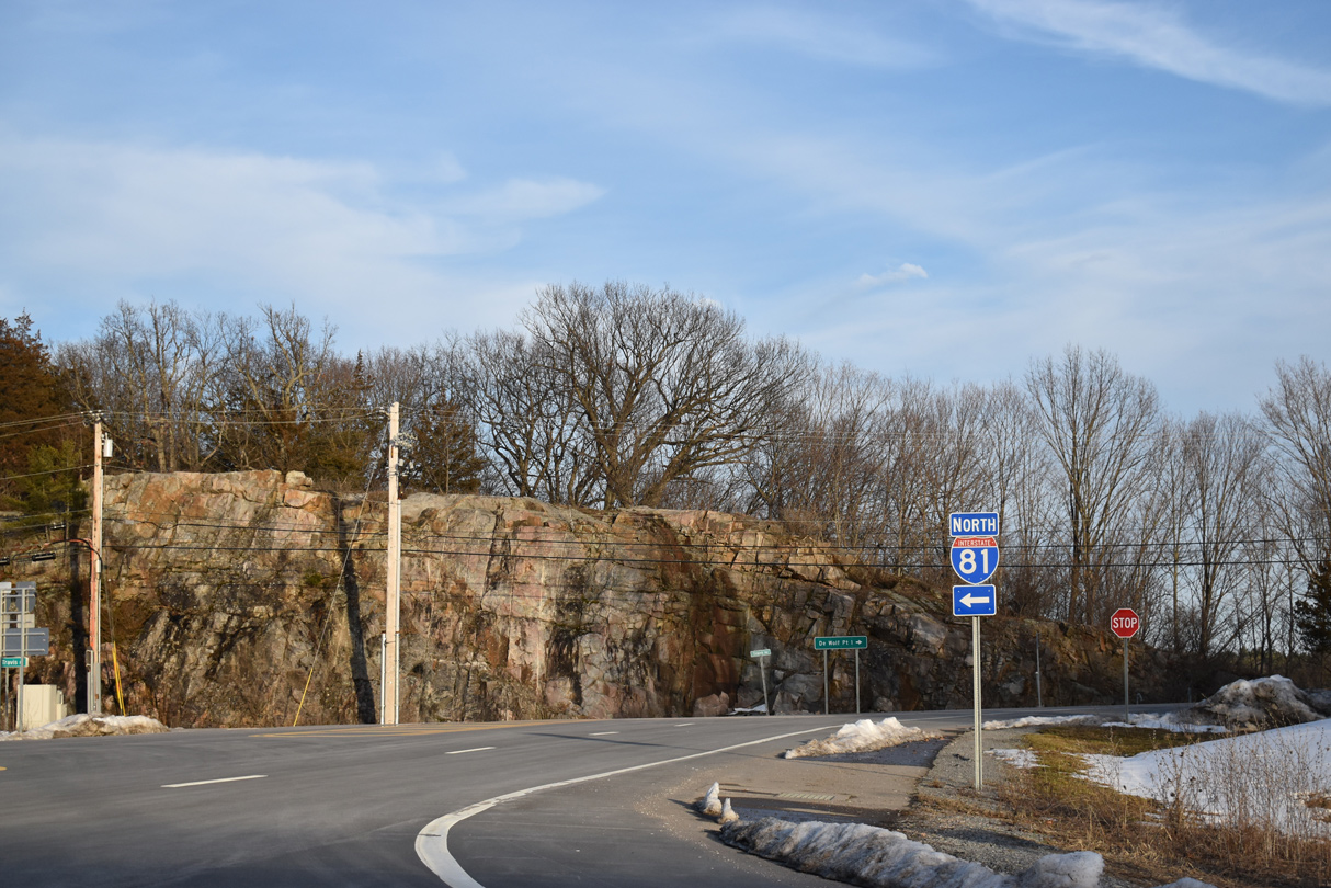
CR 191 turns west at Travis Road into the exchange at the north end of Interstate 81. 03/24/23
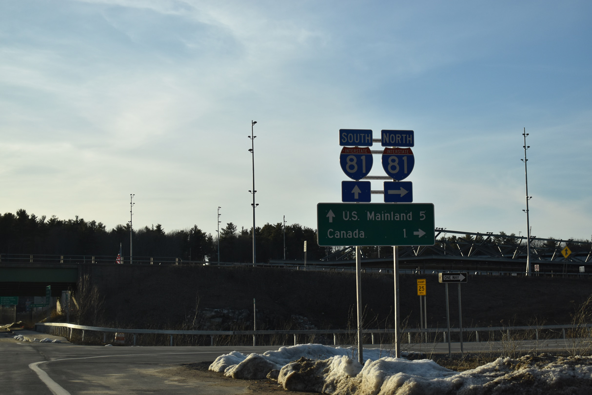
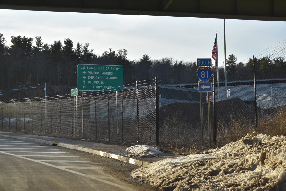
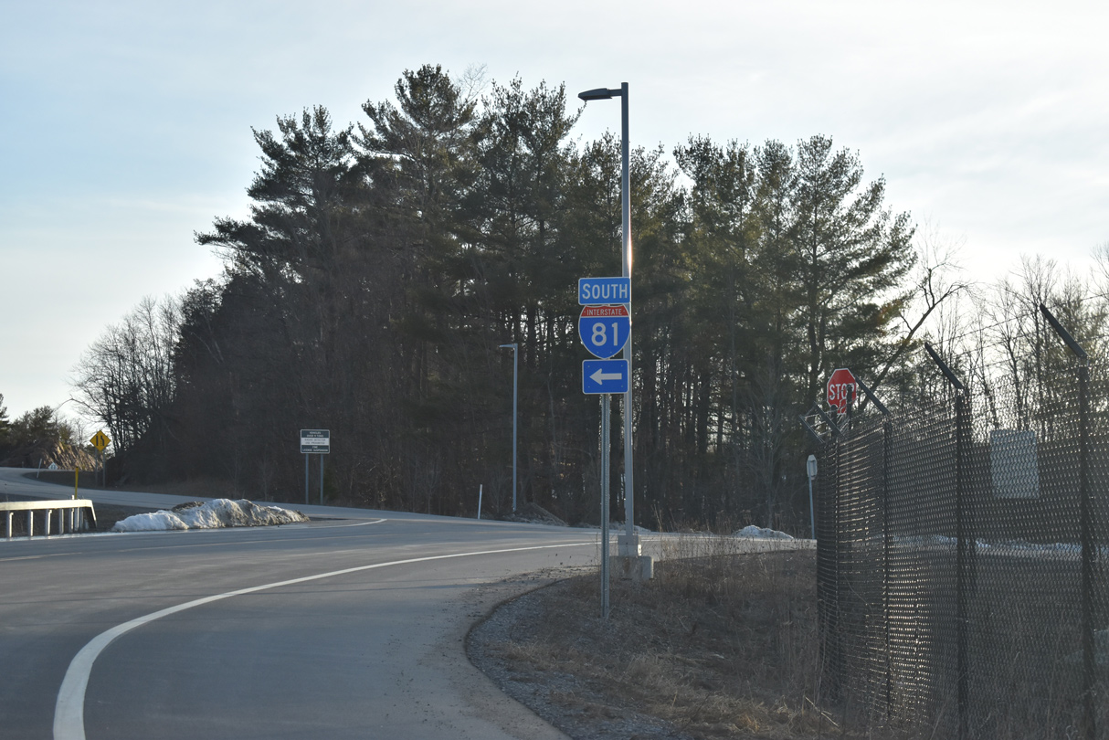
South
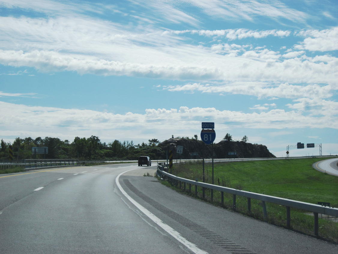
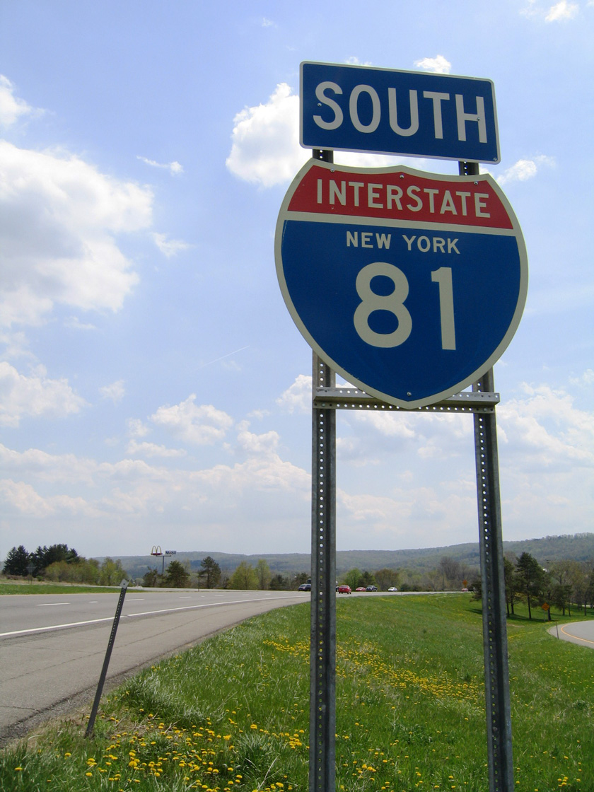
The first confirming marker for Interstate 81 south stands just beyond the port of entry at the diamond interchange with Island Road (CR 191). Photo by Douglas Kerr (09/10/11).
 East at
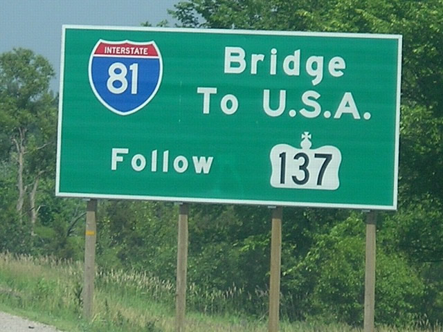
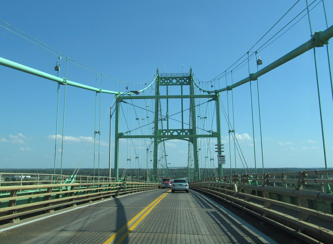
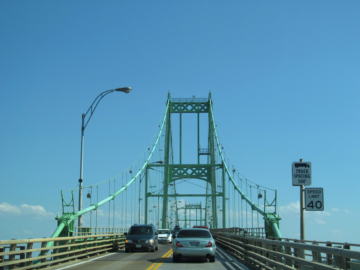
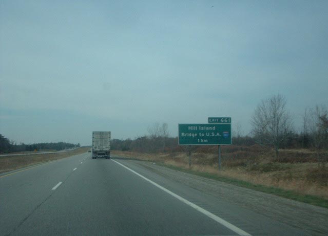
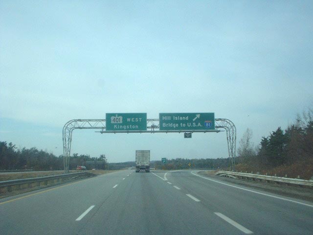
Approaching Highway 137 (Exit 661) south on Highway 401 (Macdonald-Cartier Freeway) east near the community of Selton. Interstate 81 spans the Raft Narrows (St. Lawrence River) along a combination of a 750-foot long suspension bridge from the mainland south to Georgina Island, and a 600-foot Warren Truss span between Constance and Hill Islands.9 Photo by Jeff Morrison (06/27/07).
North End – Past Views
Past Views Gallery (Tap to Expand / Collapse Section)
at
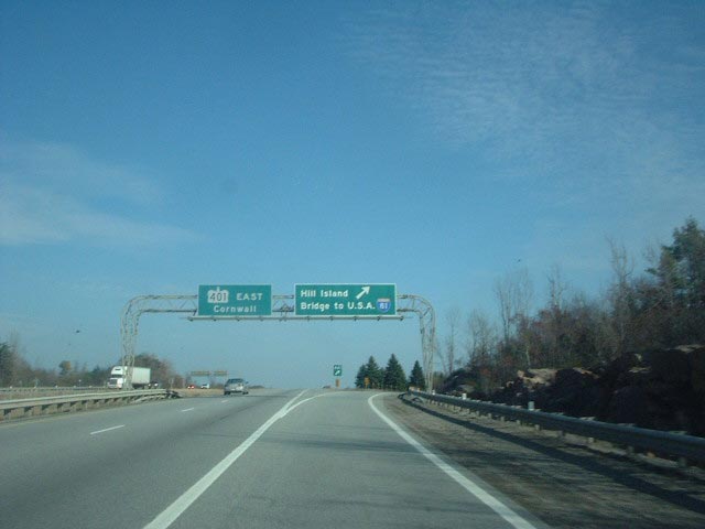
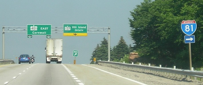
Replaced sign bridge for Highway 401 (Macdonald-Cartier Freeway) east at Highway 137 south (Exit 661). Highway 401 constitutes a 515-mile limited access route between Windsor, near Detroit, Michigan, and Quebec near Cornwall, Ontario. Photo by Douglas Kerr (11/08/02).
South End  ‐ near Dandridge, TN
South at
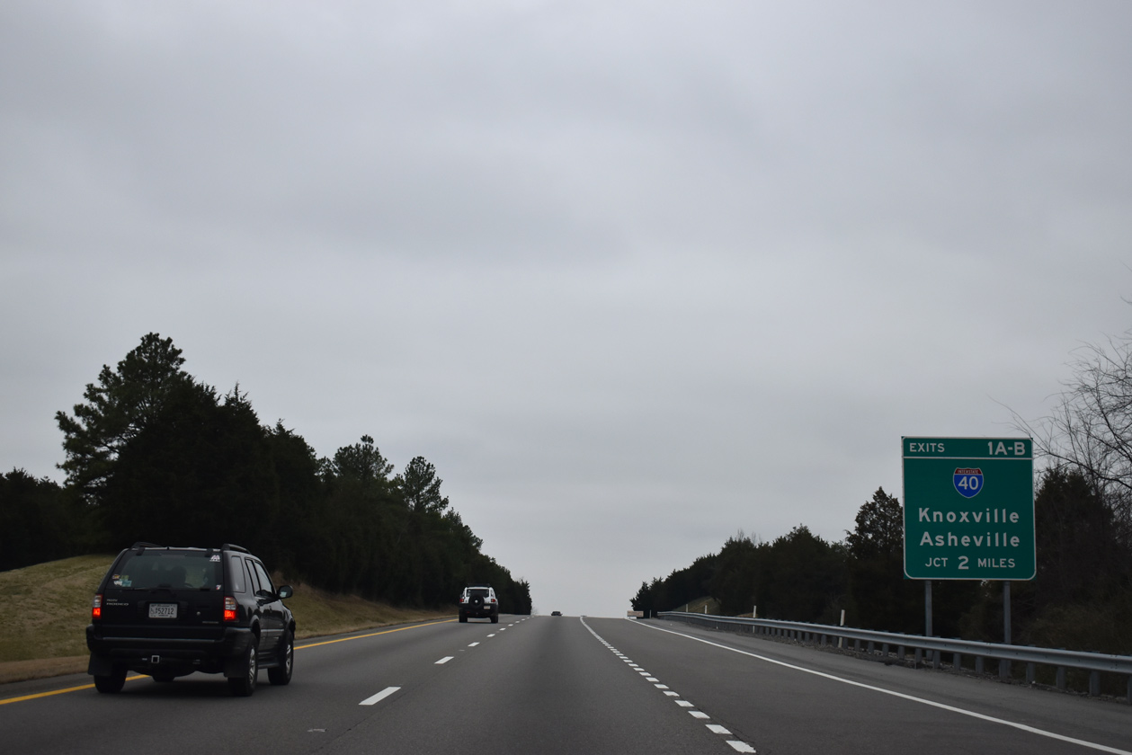
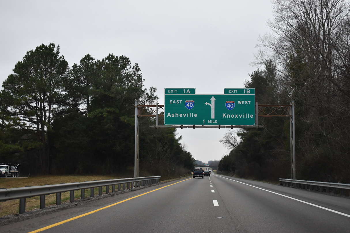
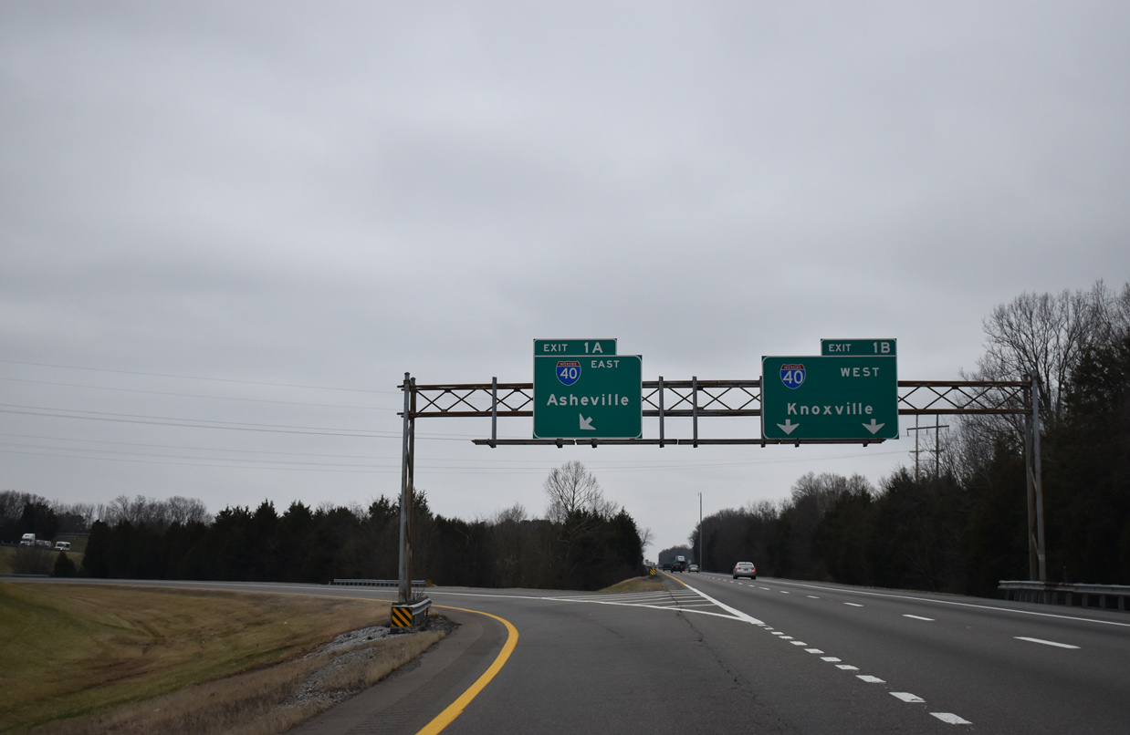
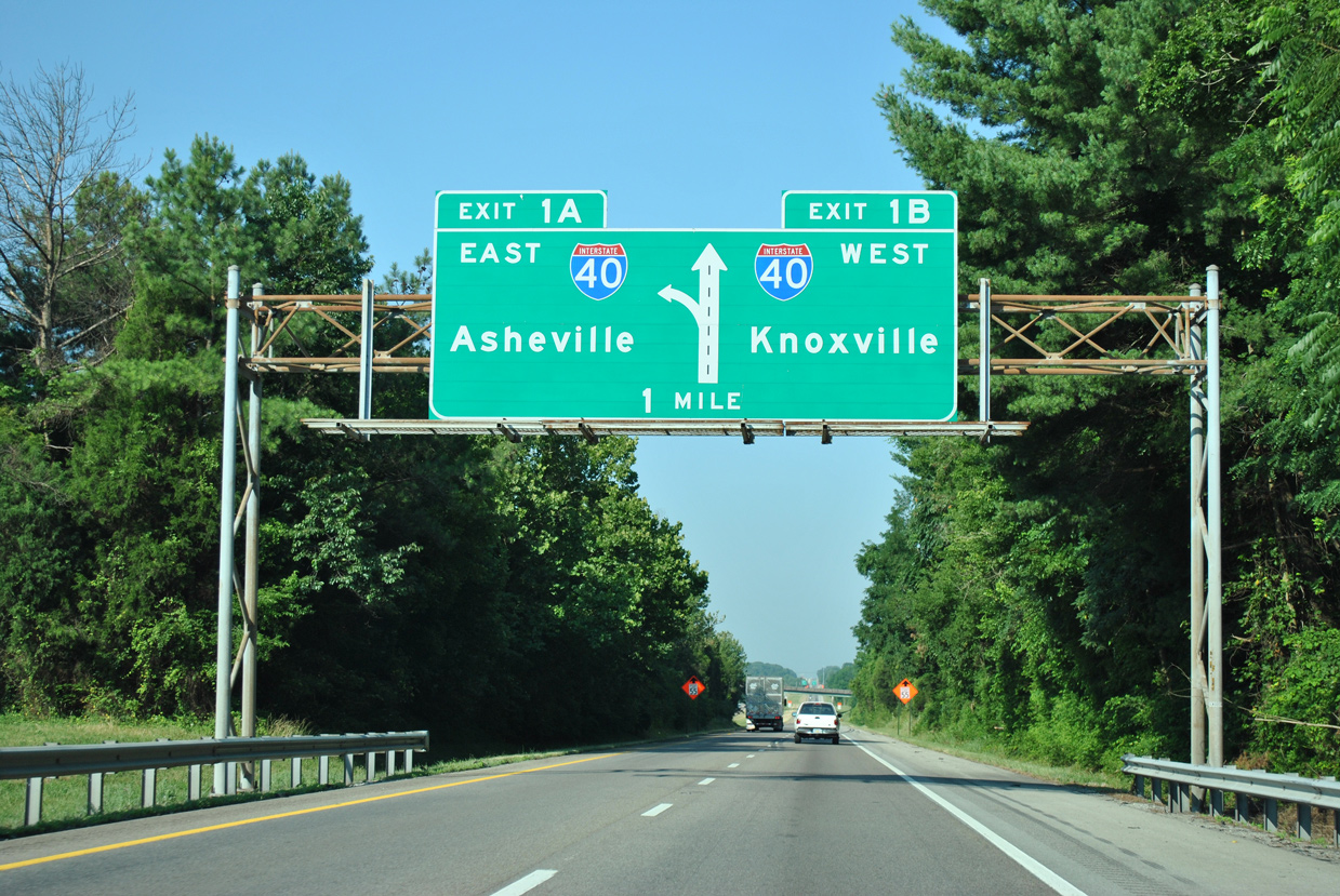
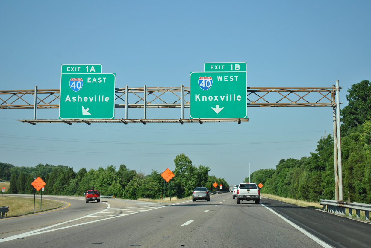
Interstate 81 advances south two miles to I-40 (Exits 1A/B) from a rest area near the community of Kansas. All guide signs for I-40 on I-81 south were replaced by 2013. 01/16/19
West at
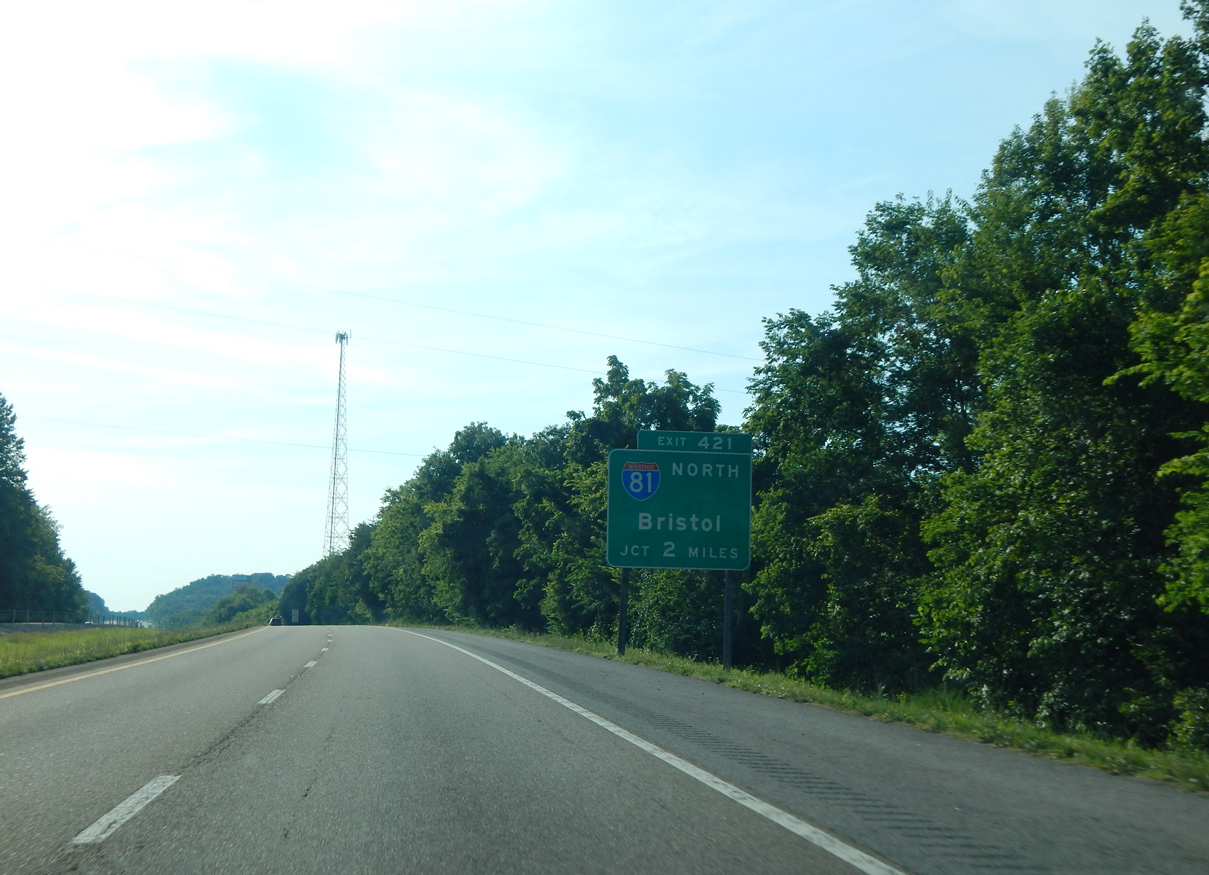
Interstate 40 crosses Douglas Lake ahead of SR 113. The freeway continues northwest two miles to meet Interstate 81. Photo by Carter Buchanan (06/10/17).
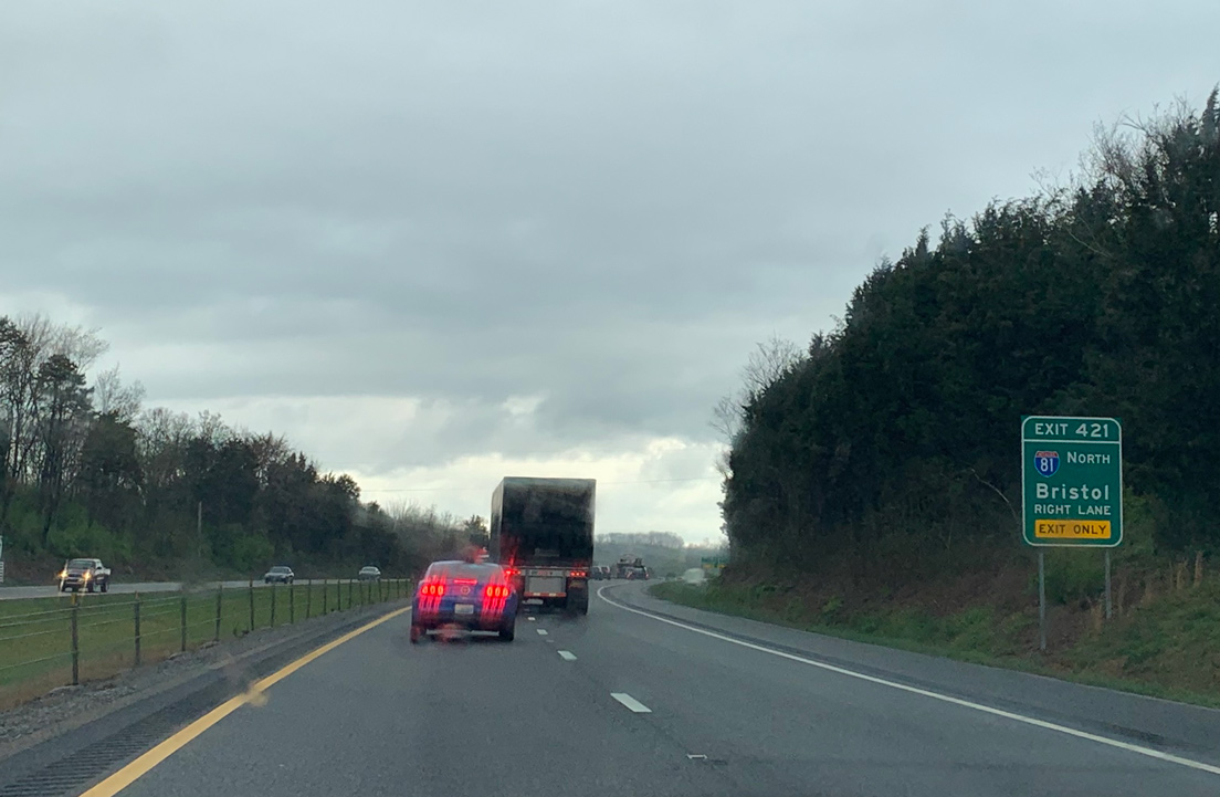
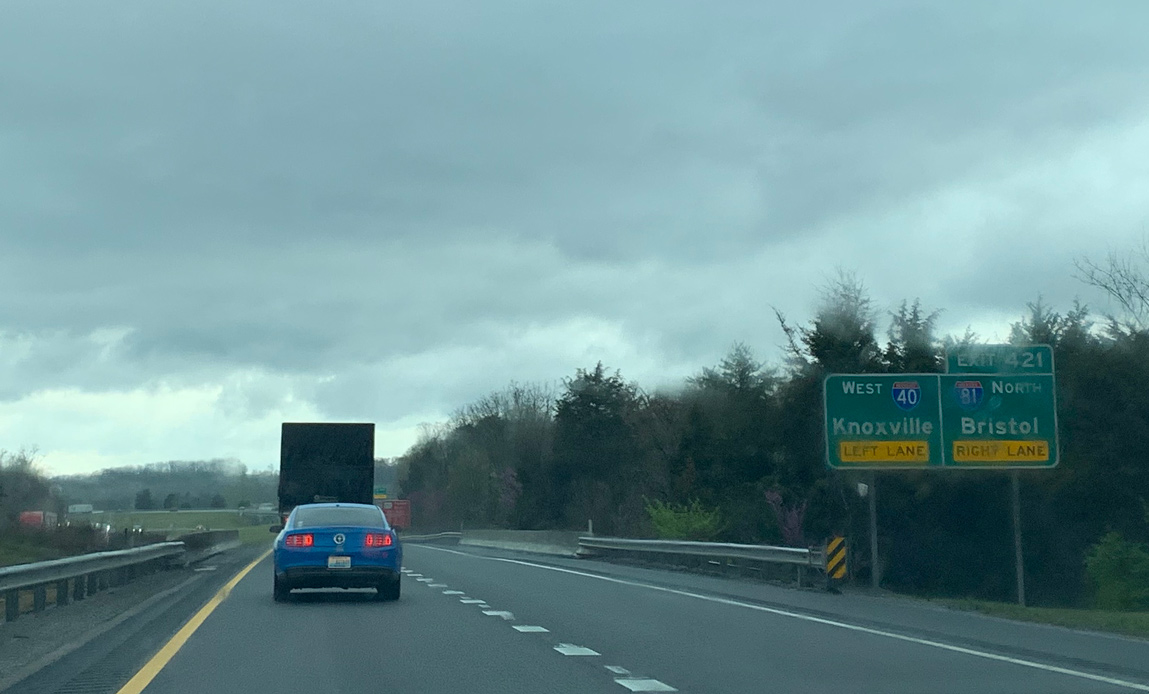
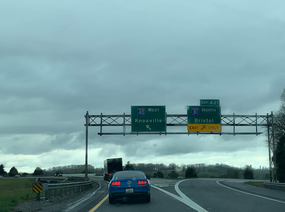
East at
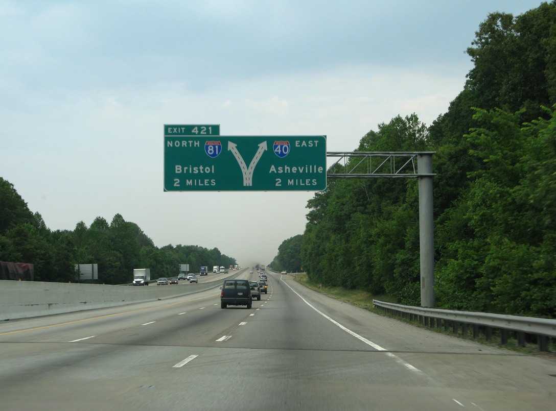
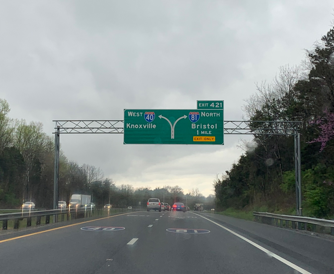
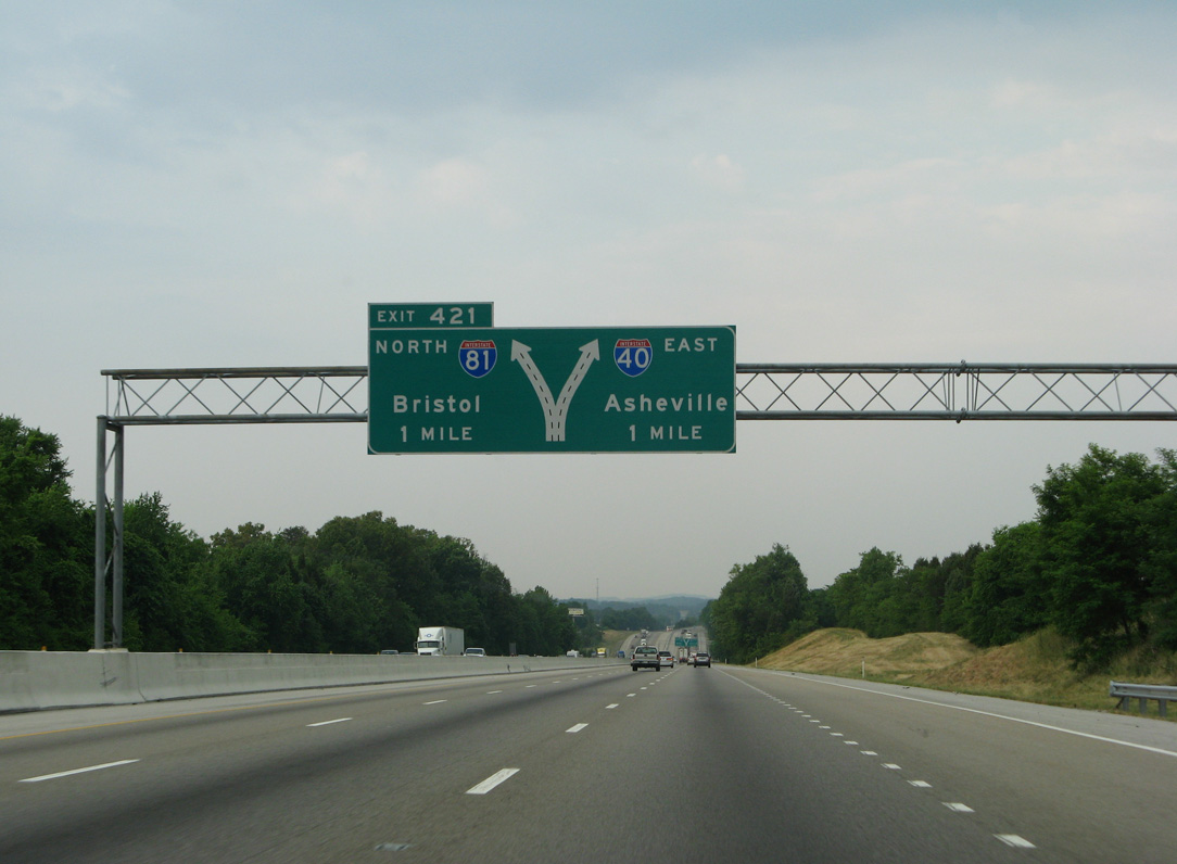
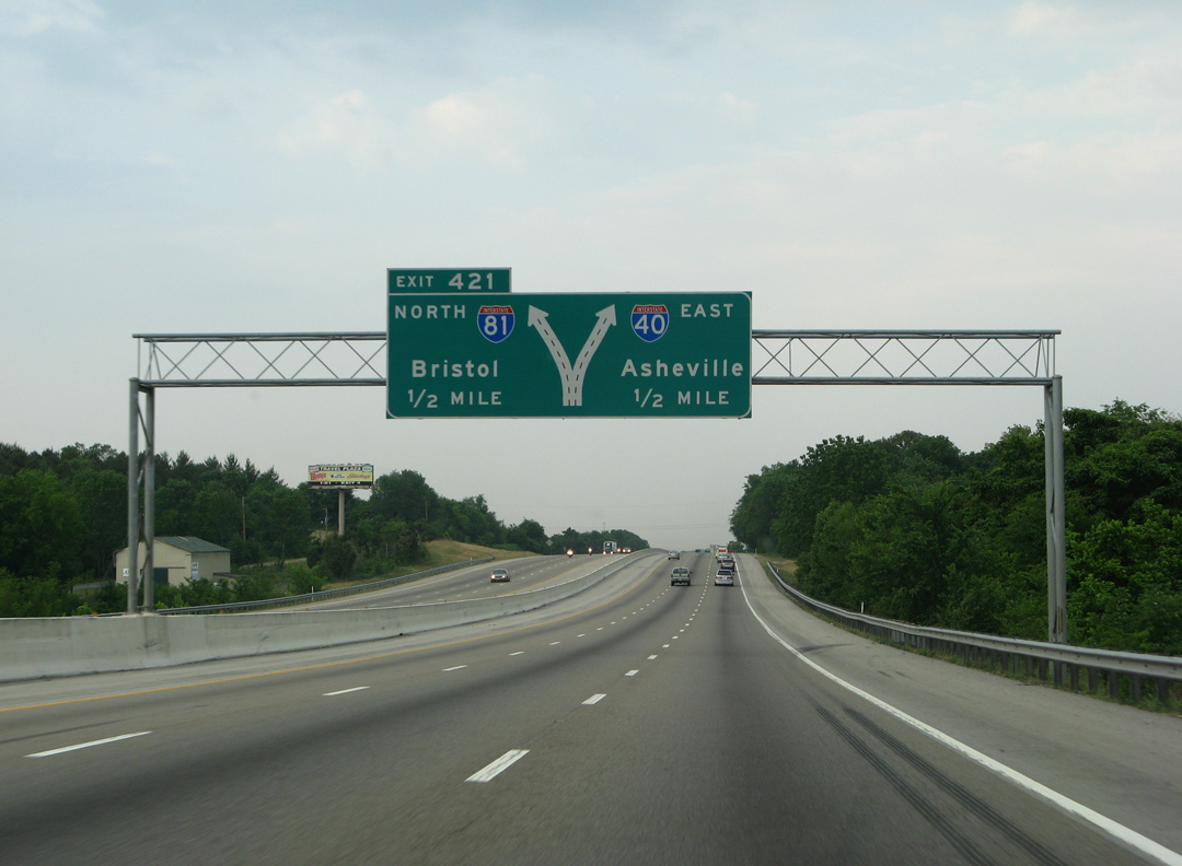
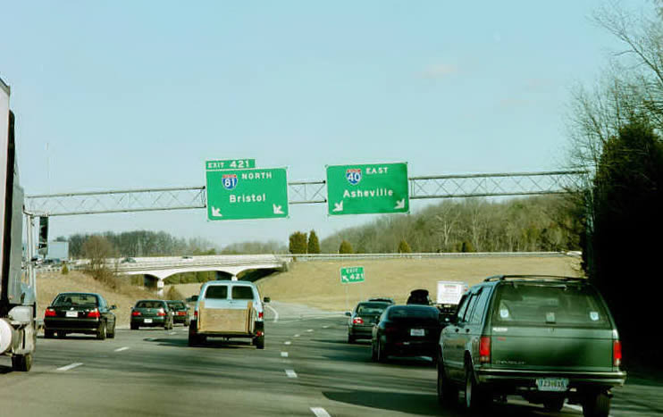
Late 1990s construction along I-40 widened the freeway to six lanes with a barrier median to the split with Interstate 81 north (Exit 421). Similar to I-81 south, a rest area precedes their exchange along I-40 east. 05/31/07
South End – Past Views
Past Views Gallery (Tap to Expand / Collapse Section)
South at
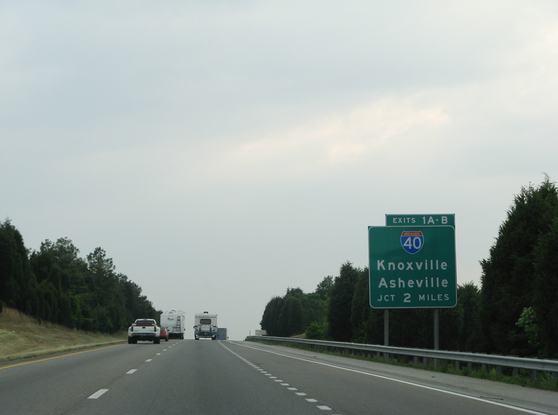
Two miles ahead of I-40 on Interstate 81 southbound. 05/31/07
at
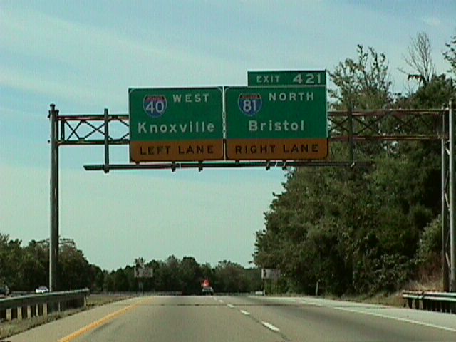
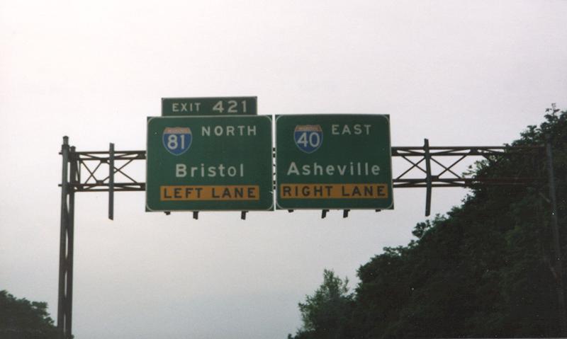
A diagrammatic sign replaced separate panels for I-40 and 81 on the one mile approach to the directional interchange at Exit 421 by 2007. Photo by Jim K. Georges (07/98).
References
- VDOT Criticizes 2 Consortium's Plans to Widen I-81. (2003, November 15). Roanoke Times.
- Kitsko, J. (2025, December 29). Interstate 81. Pennsylvania Highways. Retrieved from https://www.pahighways.com/interstates/I81.html
- Pruett, M. (n.d.). I-81. MDRoads. Retrieved from http://www.mdroads.com/routes/is081.html
- Kozel, S. (2004, March 6). Interstate 81 in Virginia. RoadstotheFuture. Retrieved from http://www.roadstothefuture.com/I81_VA_Desc.html
- AARoads Wiki. (2026, June 11). Interstate 81 in New York. AARoads Wiki. Retrieved July 16, 2026 from https://wiki.aaroads.com/wiki/Interstate_81_in_New_York
- Summers, S. Interstate system route numbering. Retrieved from http://www.nwindianahwys.homestead.com/INTER_MAIN.HTML
- Research panel predicts state road fund shortage. (2006, June 22). Charleston Gazette.
- Rethinking I-81: Eastern suburbs could see new highway names, interchanges, lanes. (2016, November 16). The Post-Standard.
- Thousand Islands Bridge Authority. (March 2013). 75th Anniversary Fact Sheet. Retrieved from http://www.tibridge.com/wp/wp-content/uploads/2013/03/75thfact-sheet.pdf
- Interstate 81 Ready to Please When Open. (1965, November 23). The Post-Standard.
- 81 Segment Completed at Wellesley. (1970, November 19). The Post-Standard.
- New York State Department of Transportation (NYSDOT). Prospect Mountain Project. Retrieved from https://www.dot.ny.gov/prospectmountain
- U.S. Customs and Border Protection. (2022, July 21). Grand Opening of Alexandria Bay Port of Entry. [Press release]. Retrieved from https://www.cbp.gov/newsroom/local-media-release/grand-opening-alexandria-bay-port-entry