
Interstate 65
Overview
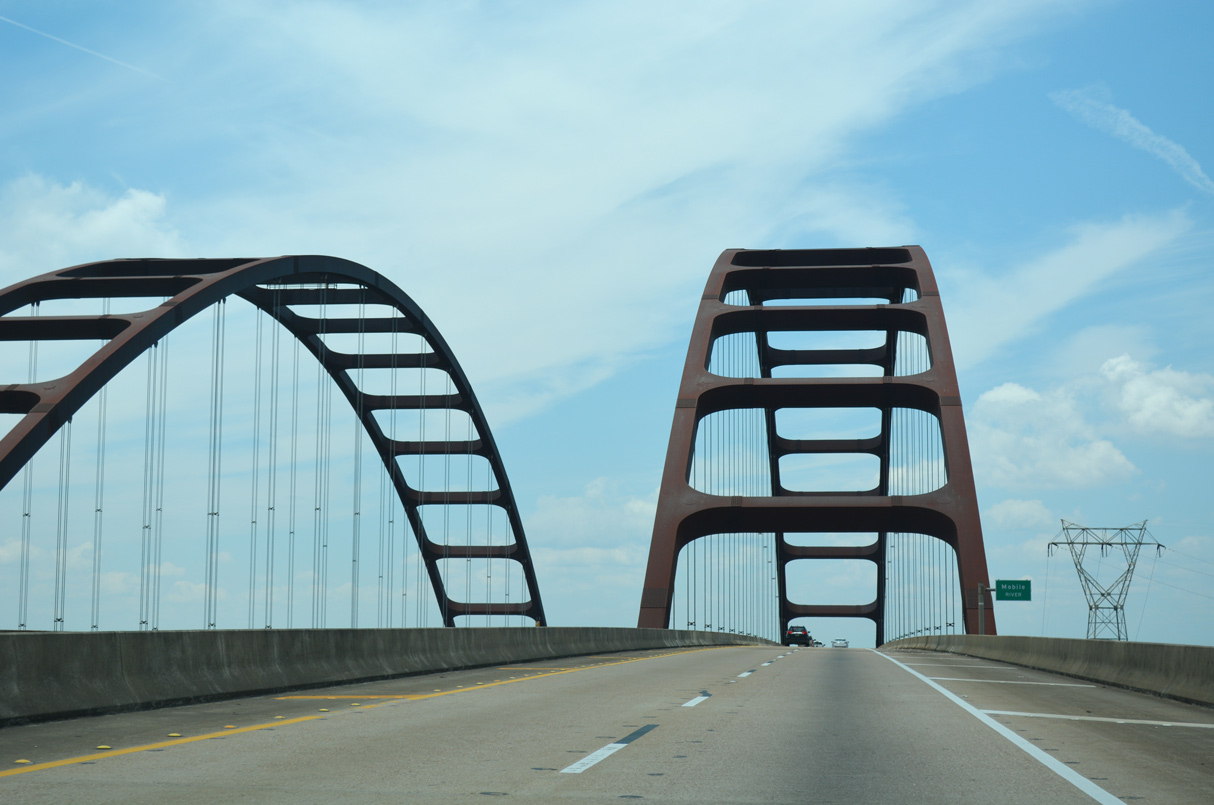
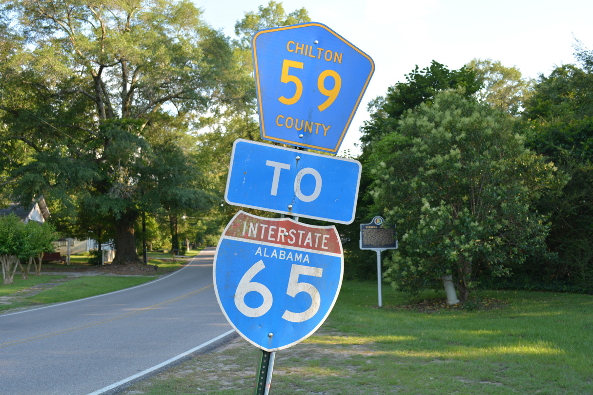
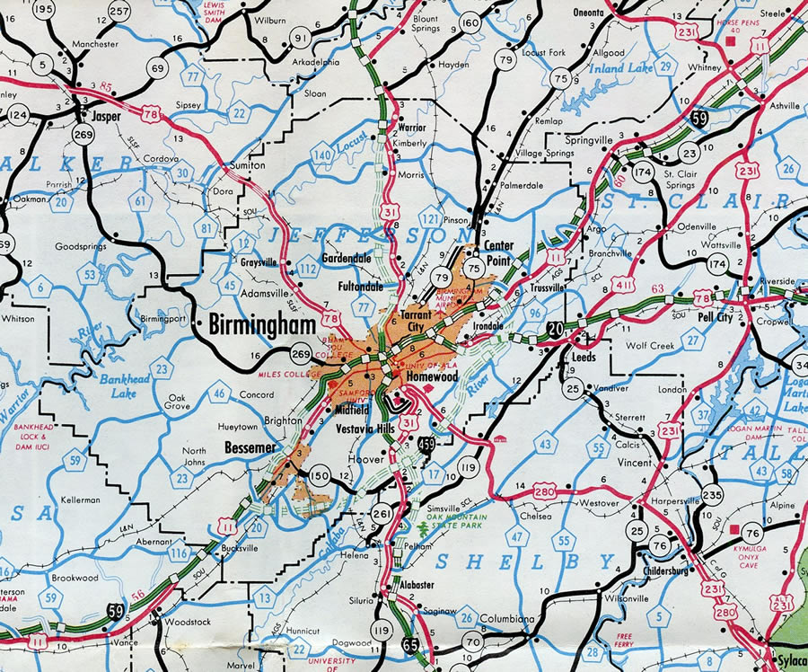
Interstate 65 connects the Deep South with the Midwest, providing a connection from the ports of the Gulf of Mexico north to the ports of the Great Lakes. Designated the Heroes' Highway in Alabama, I-65 begins in the "Port City" of Mobile and runs northeast through wide swaths of pine forest to the capital of Montgomery. Beyond there, I-65 continues northward to the economic hub of the state in Birmingham before reaching the Huntsville area between Madison and Decatur. North of Huntsville and Interstate 565, I-65 passes through 120 miles of the Volunteer State with a direct line through Nashville.
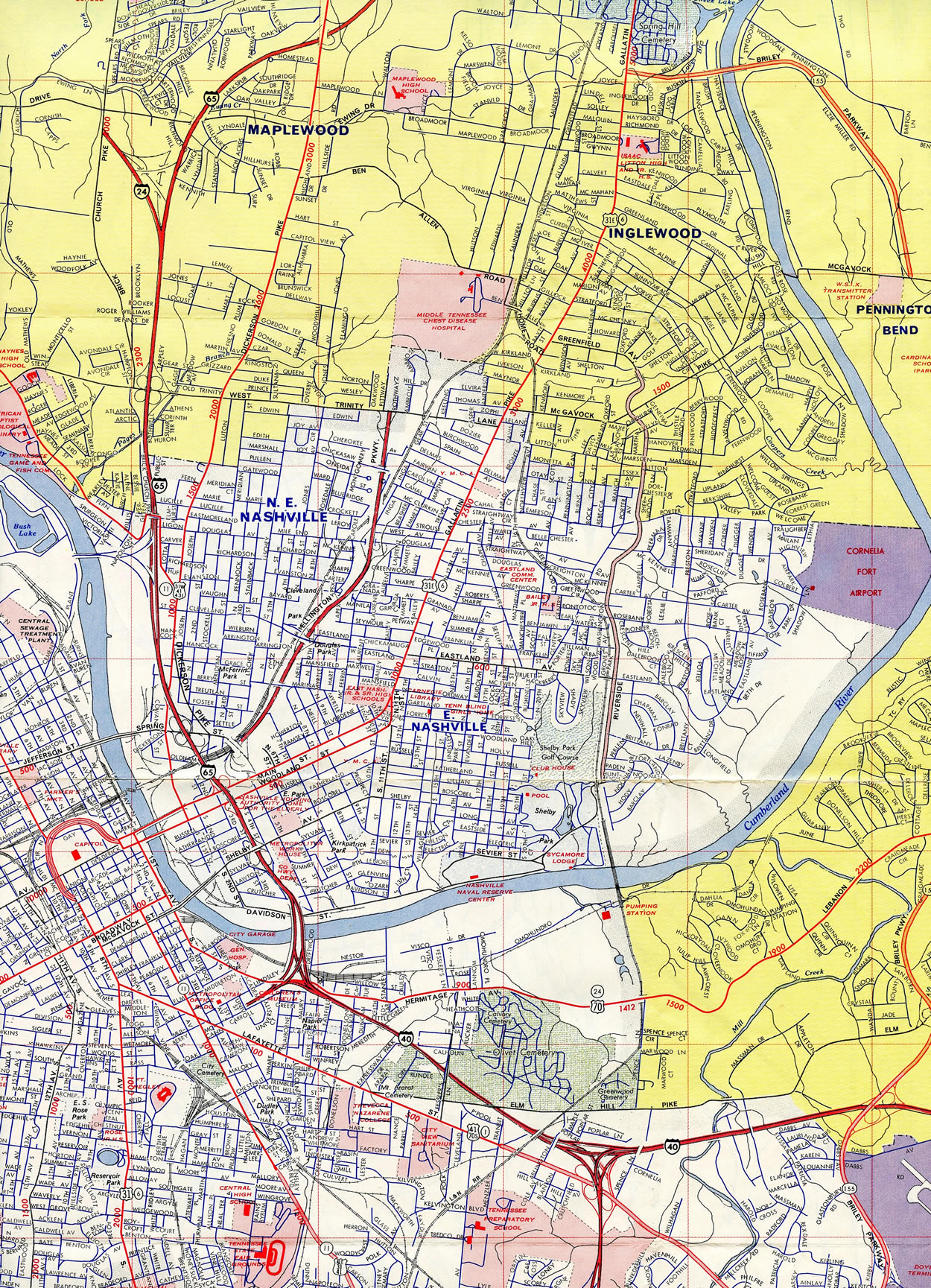
Within the Tennessee capital city, I-65 changed alignments in 2000 to overtake the former Interstate 265 along the west side of the central business district. Beyond there, I-65 combines with Interstate 24 along a short overlap in north Nashville before angling northeast toward the Bluegrass State.
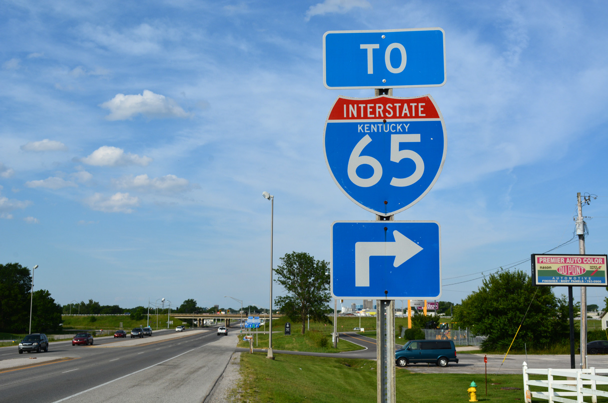
Traveling through Kentucky, Interstate 65 traverses hilly terrain to Bowling Green and Elizabethtown. The freeway passes to the east of Fort Knox en route to Shepherdsville and the south suburbs of Louisville. I-65 crosses Kentucky's largest city before spanning the Ohio River into the Falls City area of southern Indiana.
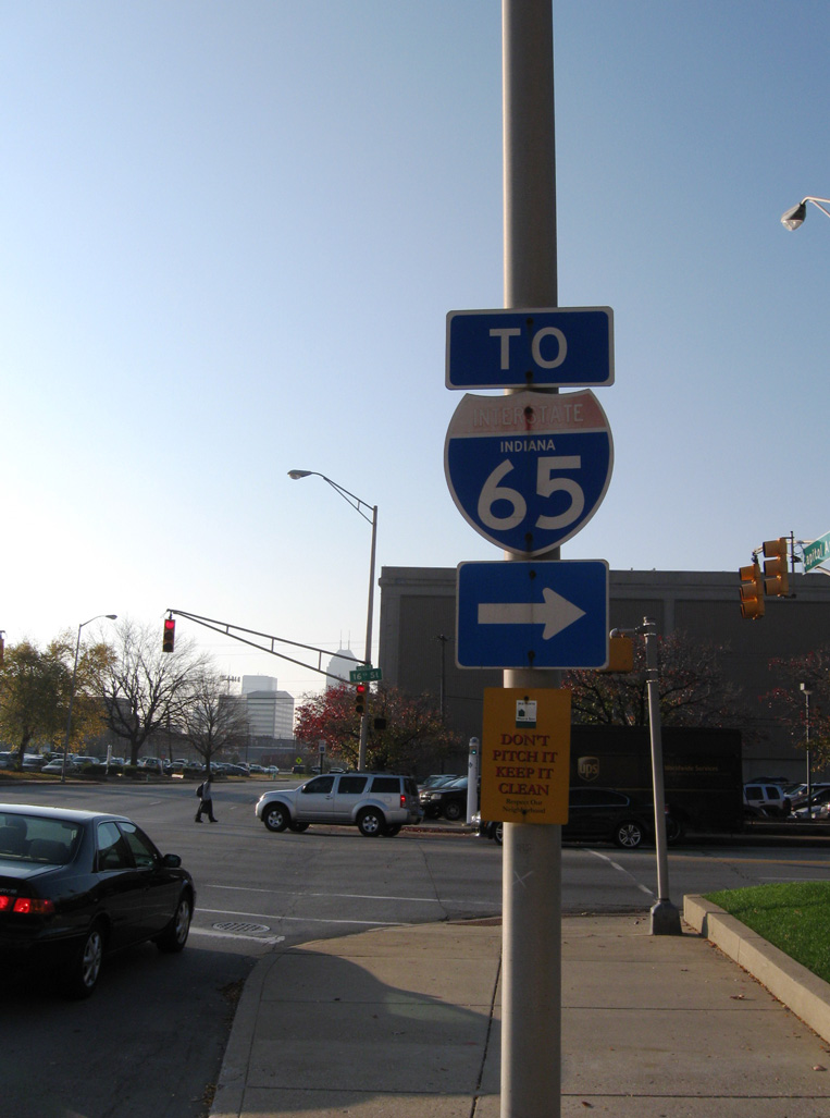
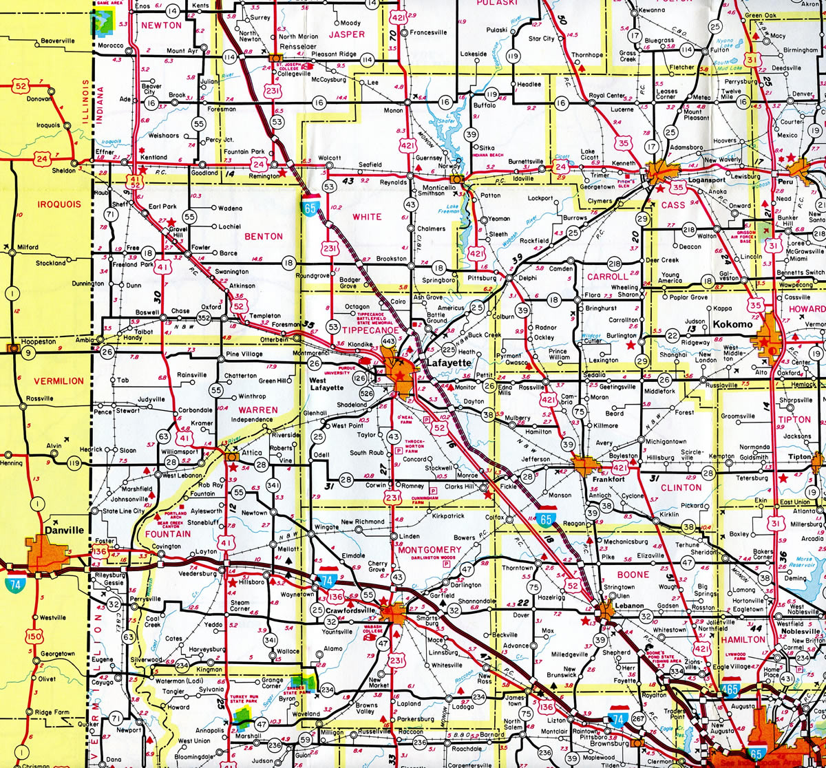
Leaving the Ohio Valley, Interstate 65 flattens out across agricultural areas by the smaller cities of Seymour, Columbus and Franklin while en route to Indianapolis. I-65, like I-70, travels through the heart of Indianapolis as Interstate 465 encircles the Circle City along a 57.5 mile long beltway. Traveling northwest, I-65 again transitions into a rural freeway to Lebanon, Lafayette and Crown Point. The northernmost reaches of the freeway serve the industrial city of Gary in the eastern Chicago metropolitan area.
Mileage by State
| Alabama | 367.00 mi |
| Tennessee | 121.71 mi |
| Kentucky | 137.32 mi |
| Indiana | 261.27 mi |
Data Sources
December 31, 2021 Interstate Route Log and Finders List
KYTC Functional Classification Interactive Map. https://maps.kytc.ky.gov/functionalclass/
Ohio River Bridges
Within Louisville, Kentucky, the Ohio River Bridge Project focused on I-65 in addition to the East End Bridge for Interstate 265. The project included the addition of the Downtown Crossing, a second bridge for I-65 across the Ohio. Accommodating northbound traffic, the new cable-stayed bridge doubled capacity, with the original John F. Kennedy Memorial Bridge redesigned for southbound only use. Additional work focused on improvements to the Kennedy Interchange, where I-64, I-65 and I-71 come together outside Downtown. Improvements cited from the project web page include:4
- Increased capacity for the ramp system
- A new interchange design at Mellwood Avenue and Interstate 64
- A new partial interchange at Interstate 71 and Frankfort Avenue/Ohio Street
- Realignment of Interstate 64 between I-65 and I-71 to a new route south of the existing one
- Extension of Witherspoon Street one mile to Frankfort Avenue/Ohio Street
In December 2006, costs were estimated for the improvements slated for I-64, I-65, and I-265 in Louisville. Reaching over 60% of initial estimates, the cost for two new Ohio River Bridges, and the reconstruction of the Downtown "Spaghetti Junction" interchange between I-64, I-65, and I-71, was estimated to be $3.9 billion. The components of this major construction initiative were as follows:5
- Interstate 265 Connector/East End Bridge - Cost: $1.29 billion with a forecast completion of 2013.
- Interstate 65 Downtown Louisville Bridge Replacement - Cost: $868.4 million with a forecast completion of 2019.
- I-64, I-65, and I-71: Reconstruct "Spaghetti Junction" - Cost: $1.74 billion with a forecast completion of 2024.
Design of the new bridges and confirmation of this schedule of construction was to be completed by early 2007. Funding was a major concern, and lack of funding pushed back the construction phase. However efficiencies in design and construction and inflation savings efforts accelerated the time table, and ground breaking for the Downtown Crossing took place on June 18, 2013 at Waterfront Park in Louisville.6
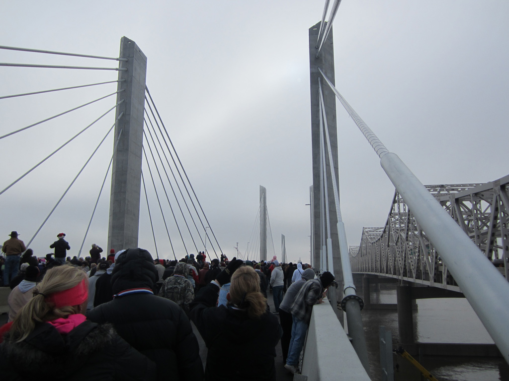
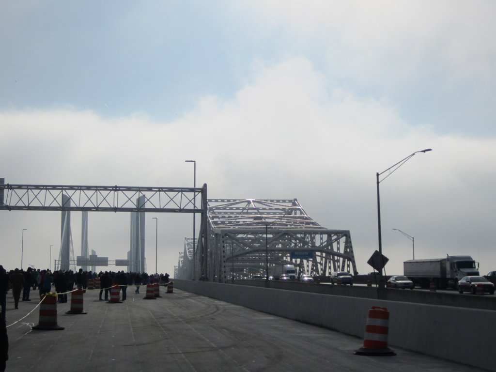
As announced on November 30, 2015, the new six-lane northbound span was officially named the Abraham Lincoln Bridge8. A public bridge walk was held on the cable stayed bridge five days later where an estimated 50,000 attended. Opening of the bridge to traffic followed late on December 6, 2015. It carried four northbound lanes temporarily as crews shifted southbound motorists onto the span later that month. The new 2,100-foot bridge carried dual traffic to fall 2016 as construction rehabilitated the adjacent cantilever span (JFK Bridge) for the southbound only conversion.9
Five of the six southbound lanes across the Ohio River opened to traffic along he rehabilitated John F. Kennedy Memorial Bridge bridge on October 10, 2016.10 All lanes and ramps on both spans and approaches were open by mid-November 2016, with the ramp from I-65 south to I-64 opened on November 14.11 All electronic tolling (AET) was implemented on the crossing on December 30, 2016.
Parallel U.S. Routes
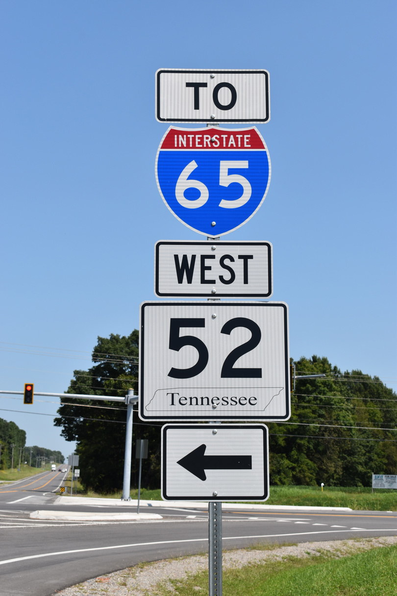
Interstate 65 parallels U.S. 31 for much of its route, with the exception of the stretch northwest of Indianapolis. U.S. 52 accompanies the corridor from Indianapolis to Lafayette and U.S. 231 along old U.S. 152 from Lafayette to Crown Point. The southernmost section of I-65 in Mobile County, Alabama aligns west of U.S. 43 from Satsuma to Mobile.
History
Interstate 65 in Alabama opened in segments between December 10, 1959 and December 19, 1985. The first stretch built was an eight mile section north of Birmingham that replaced U.S. 31 near Warrior. Rounding out work was the 14 mile portion between Lewisburg and Warrior.
Widening of Interstate 65 from four to six lanes between Exits 10 to 13 in Alabama was completed in 2003. A $110 million project completed between 2006 and December 21, 2010 modernized and widened I-65 between Exits 168 and 173 through Montgomery. South of Birmingham in suburban Shelby County, Interstate 65 again widens to six lanes with an expansion project between Exits 242 and 250 completed in December 2011. Work further north expanded the freeway to eight lanes within the vicinity of Interstate 22, with construction of a multi level systems interchange there underway to October 2015.
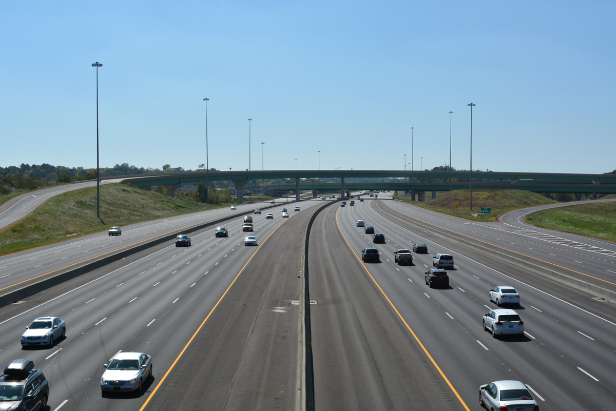
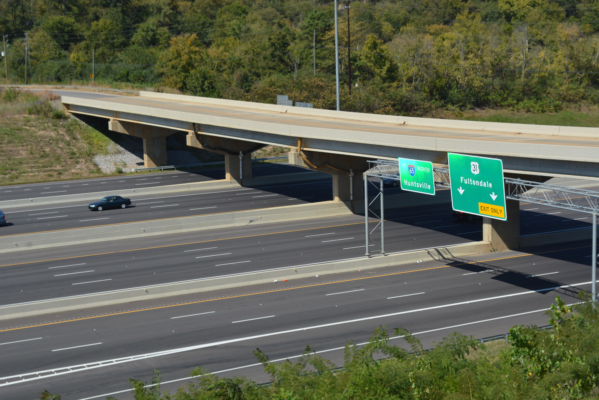
Opened to traffic on November 15, 1958, the first section of Interstate 65 built in Tennessee was located at the Alabama state line. The 1.8 mile stretch cost $1.3 million to construct over an 18 month period starting in May 1957.
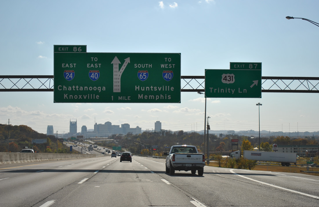
Within the Volunteer State, Interstate 65 underwent reconstruction and expansion north of the central business district of Nashville between early 2001 and late 2004. Constructed in 1968, I-65 was expanded to six lanes from Exits 87 to 90 (Briley Parkway) and eight lanes from Briley Parkway (SR 155) to Vietnam Veterans Boulevard (Exit 95). Work included the installation of sound barriers and the introduction of Intelligent Transportation Systems (ITS) technologies.3
Interstate 65 between Elizabethtown and Louisville opened on August 1, 1956 as the Kentucky Turnpike. Tolls were levied along the 39 mile long route until June 30, 1975, when bonds that financed its construction were paid off.
Within the Hoosier State, Interstate 65 was fully completed when the stretch in Downtown Indianapolis opened to traffic in 1976.6
North End 

 ‐ Gary, IN
 North at

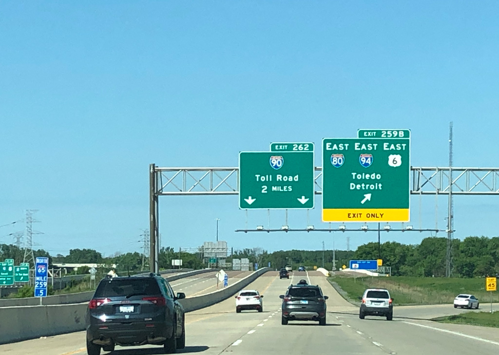
Exit 259B parts ways from I-65 north for I-80-94/U.S. 6 east to their split at Lake Station. I-80 joins I-90 to South Bend and Toledo, Ohio while I-94 curves northward to St. Joseph, Michigan. Photo by Peter Johnson (05/30/20).
East at
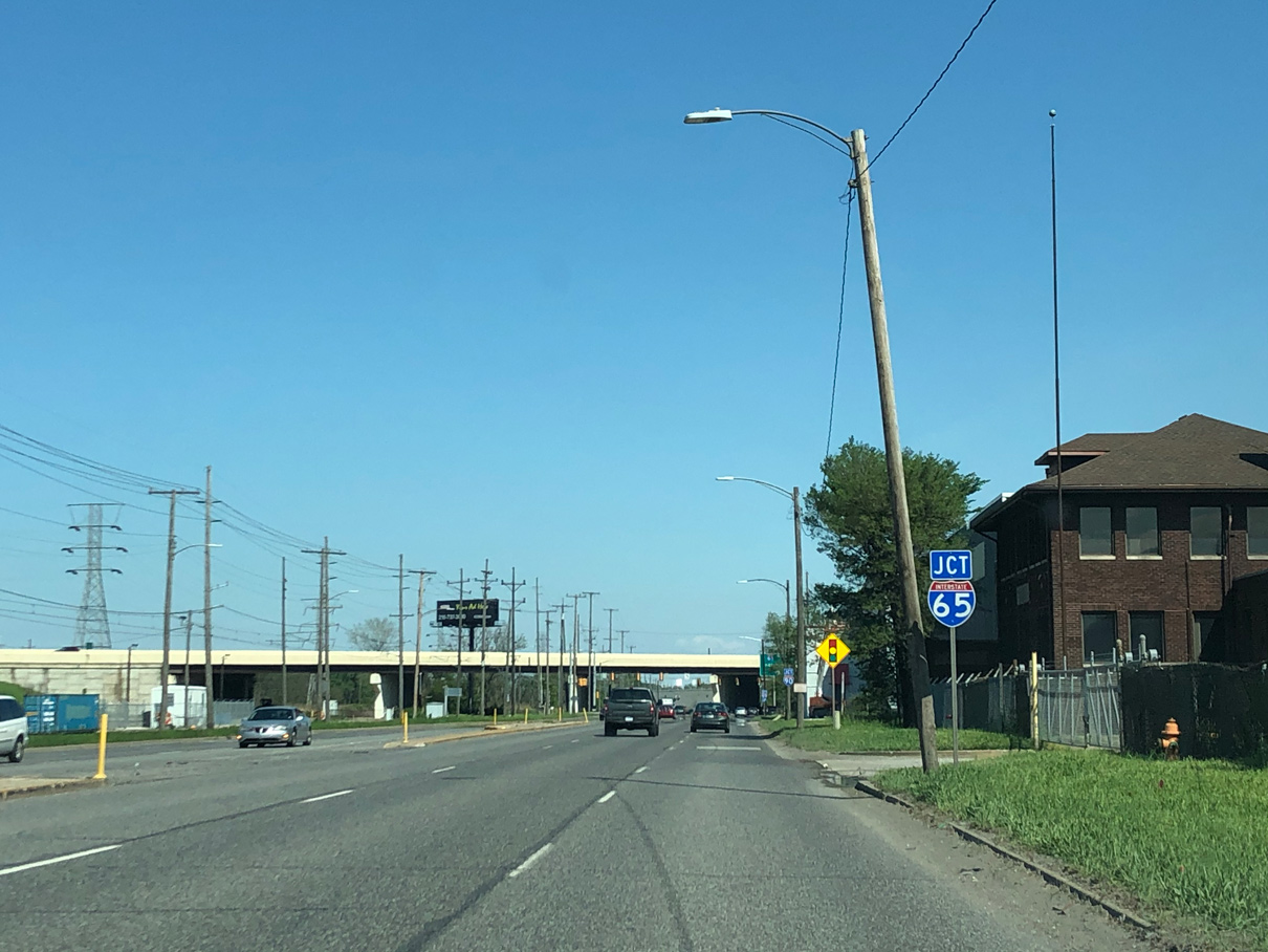
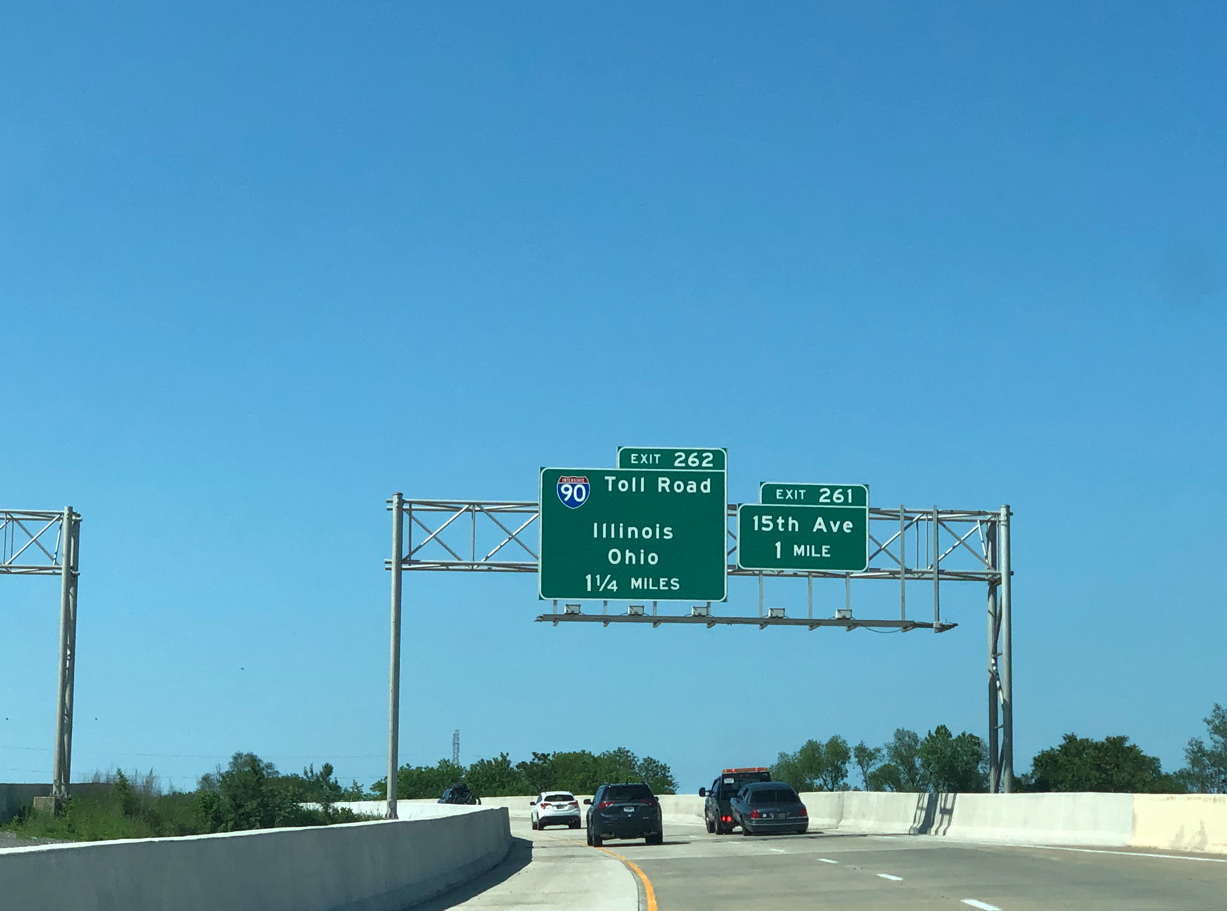
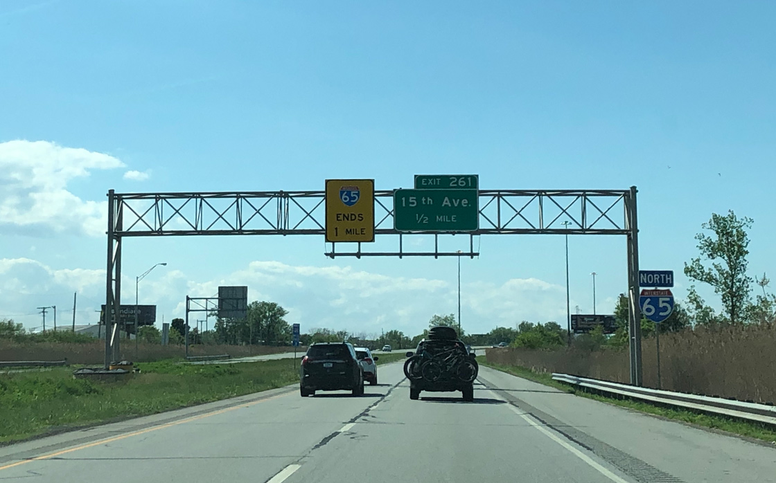
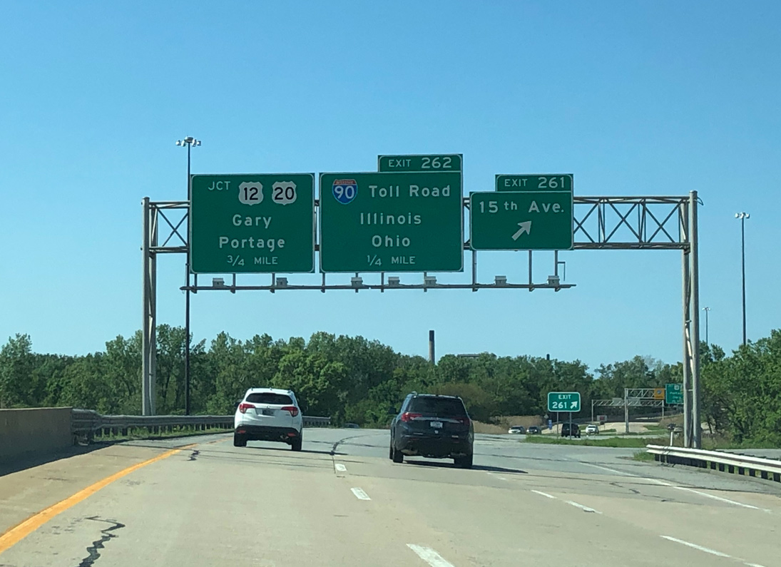
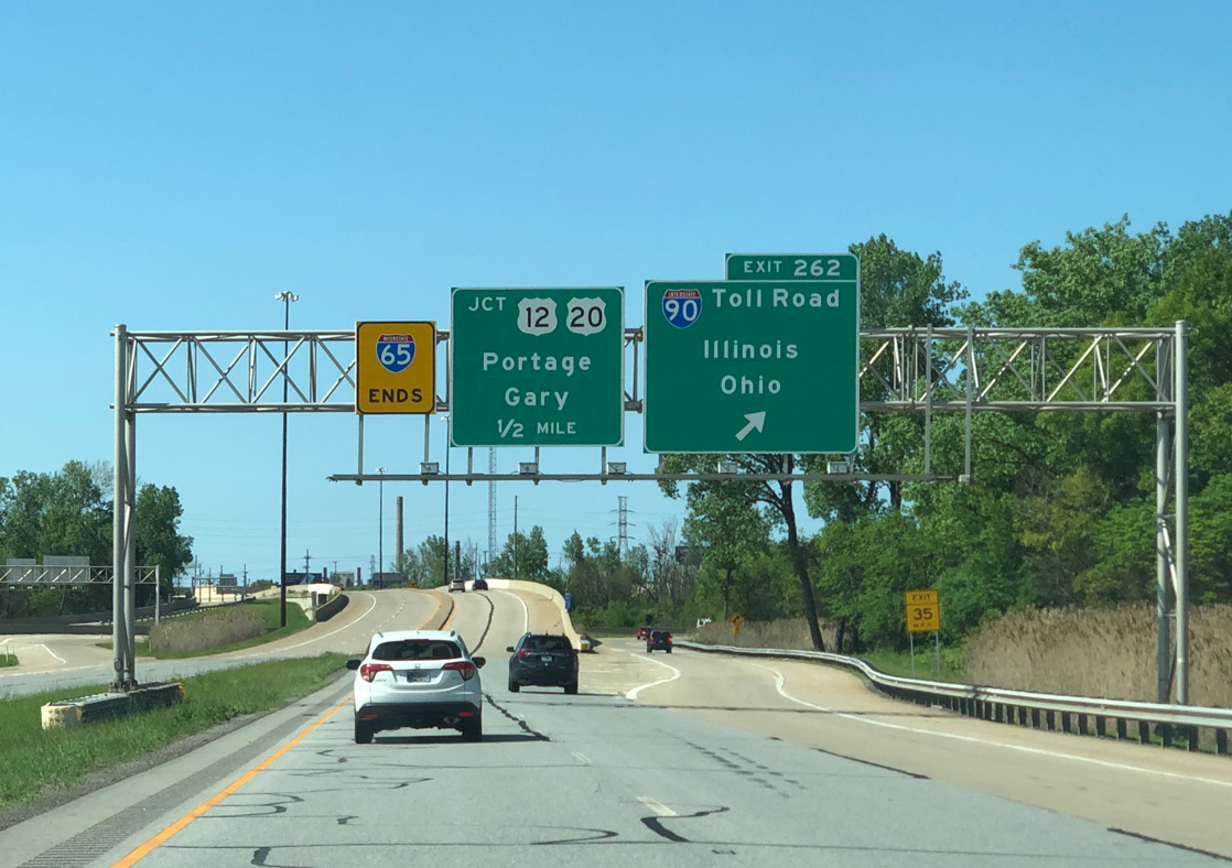
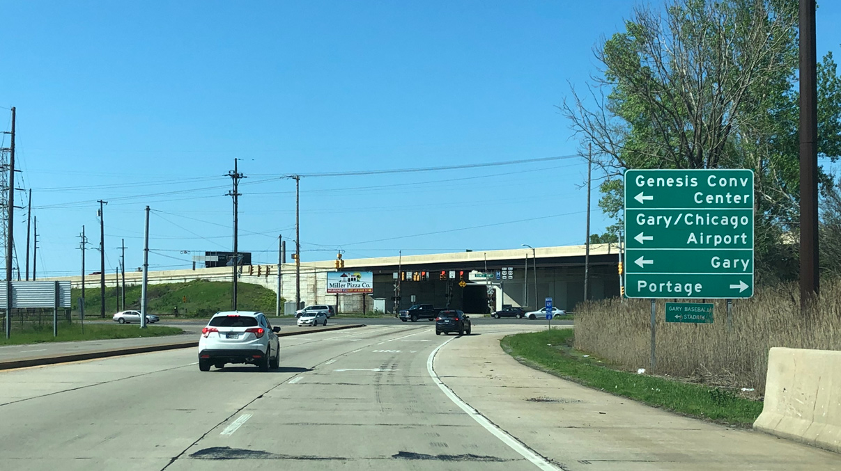
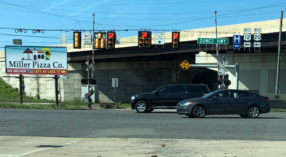
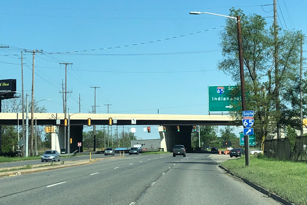
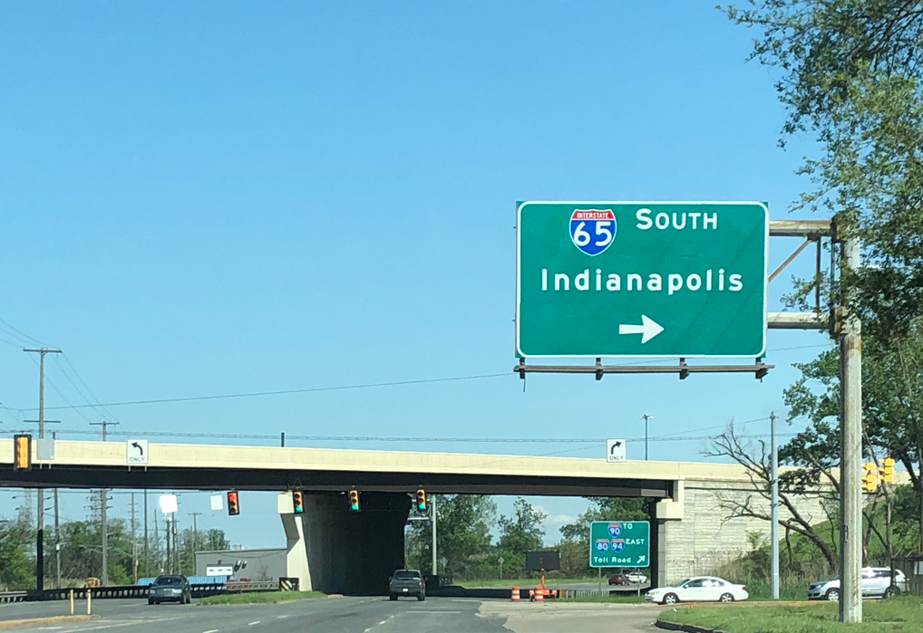
Leaving Downtown Gary, U.S. 12/20 combine along Dunes Highway eastward to I-65 from the couplet of 4th/5th Avenues. Photo by Peter Johnson (05/30/20).
West at
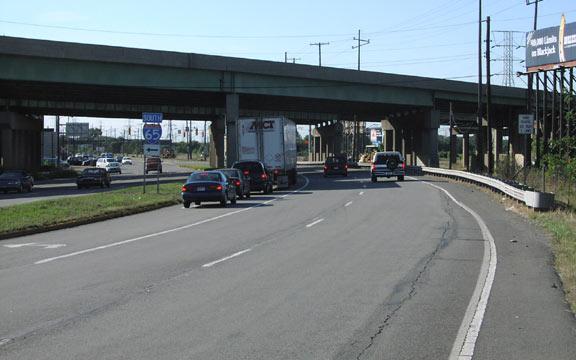
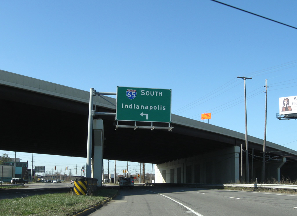
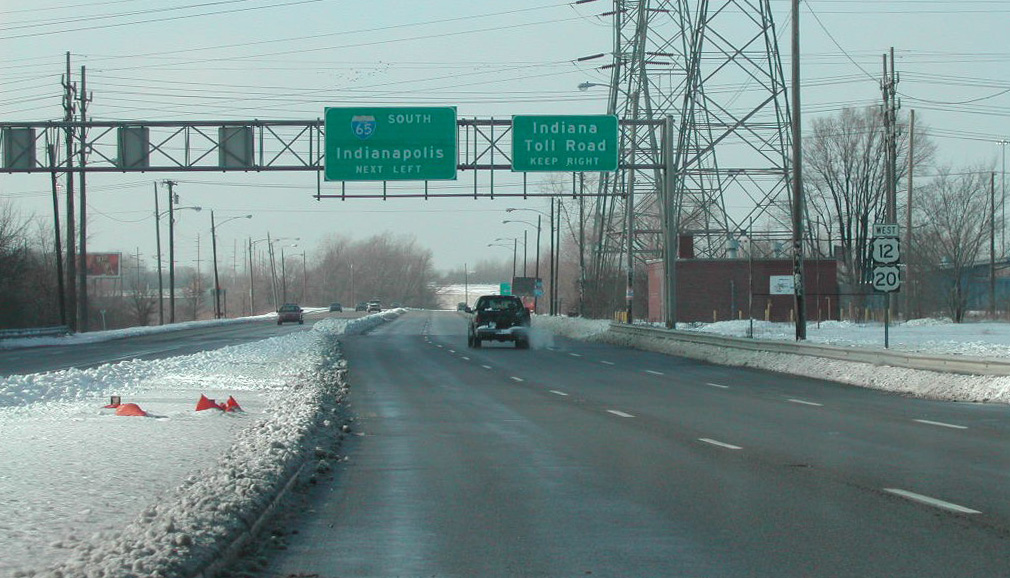
U.S. 12/20 (Dunes Highway) westbound pass under Interstate 90 at the left turn for the southbound beginning of I-65. Photo by Don Hargraves (09/23/02).
East at
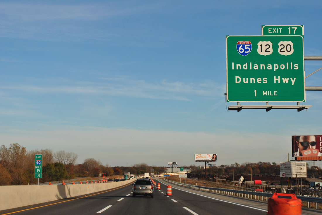
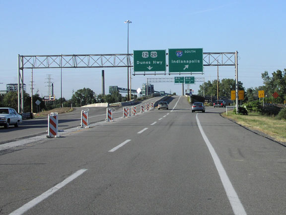
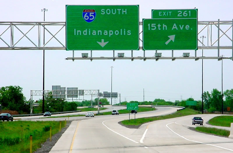
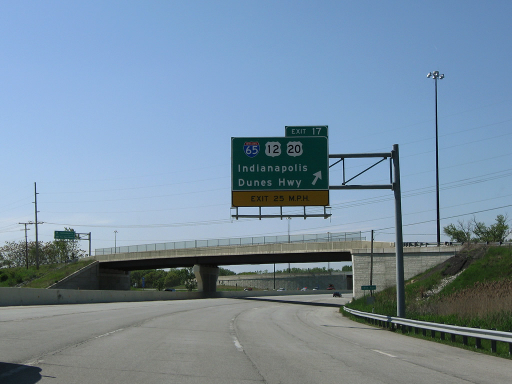
One mile west of the trumpet interchange (Exit 17) and access road for Interstate 65 south and U.S. 12 /20 (Dunes Highways). 11/04/11
West at
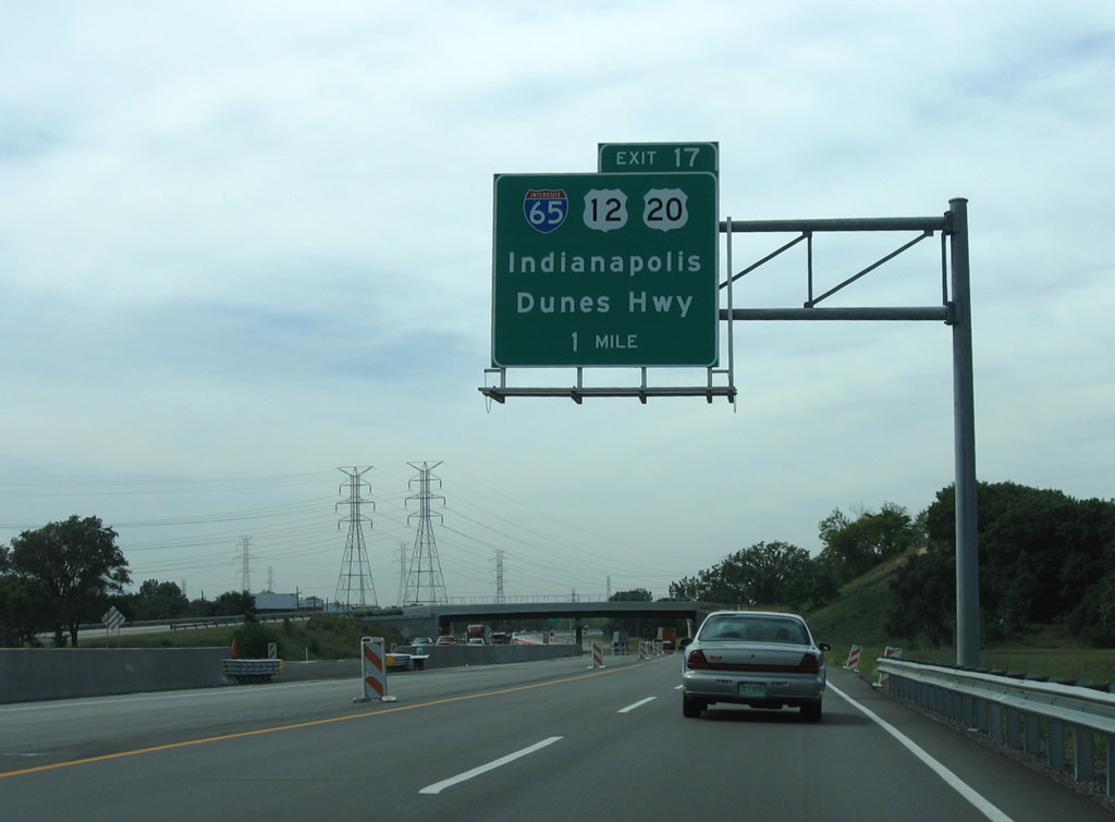
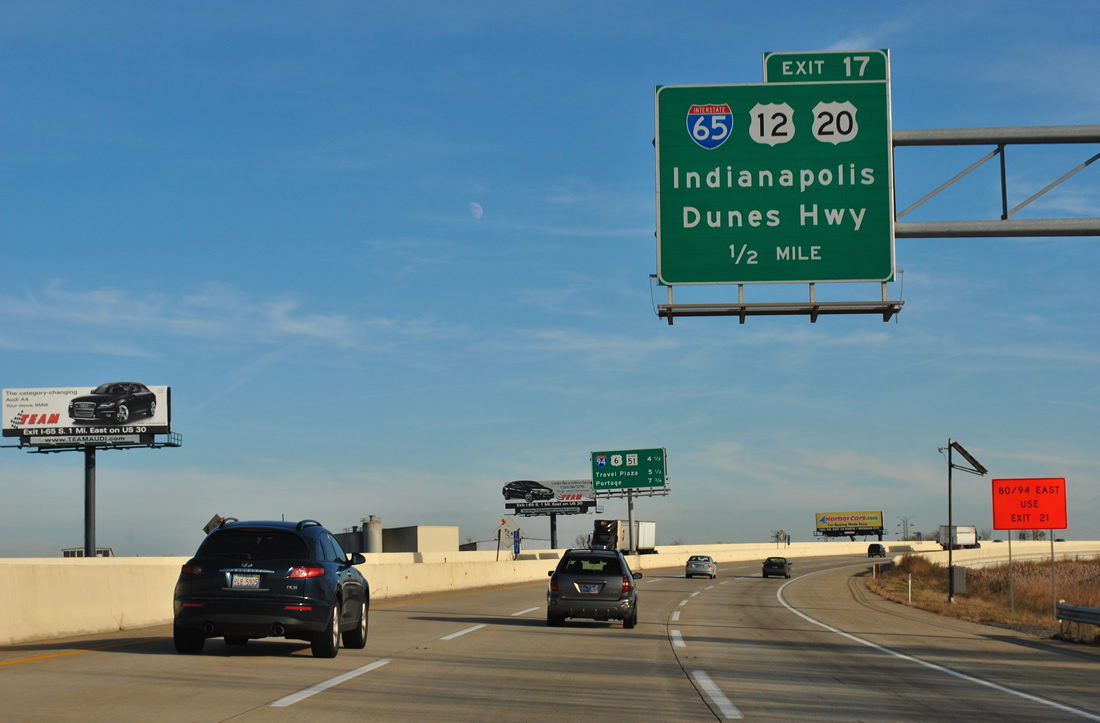
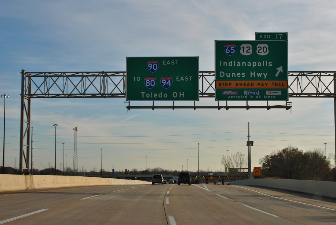
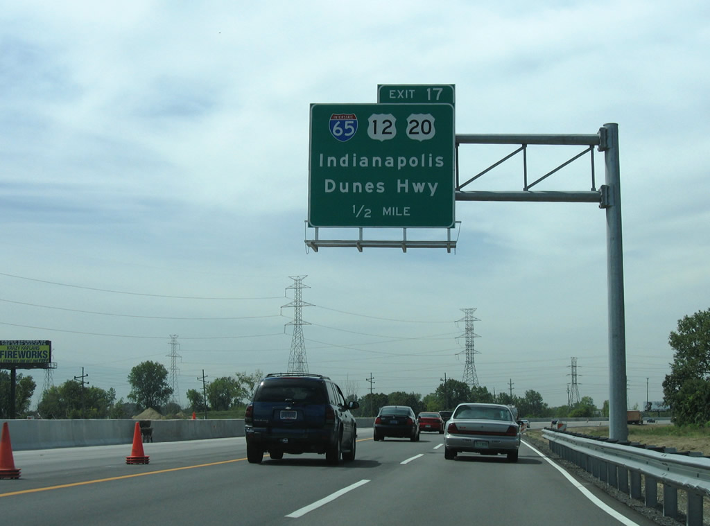
One mile east of the Exit 17 interchange complex with Interstate 65 south and U.S. 12/20 (Dunes Highway) along I-90 near the 15th Avenue overpass in Gary. The capital city of Indianapolis is 139 miles to the southeast. 09/02/05
South
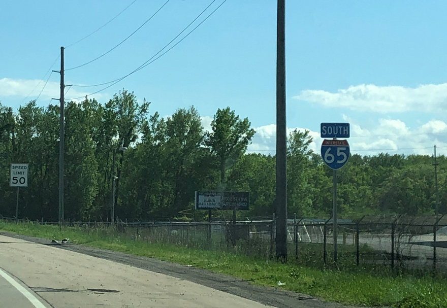
The first shield for Interstate 65 stands to the immediate south of U.S. 12/20 (Dunes Highway), adjacent to a right turn lane for a business. Photo by Peter Johnson (05/30/20).
North End – Past Views
Past Views Gallery (Tap to Expand / Collapse Section)
at
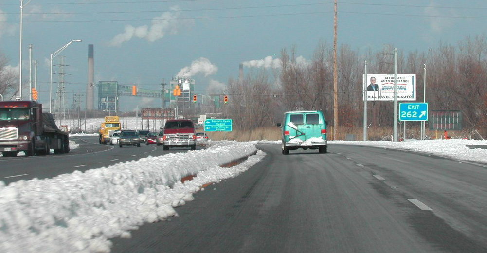
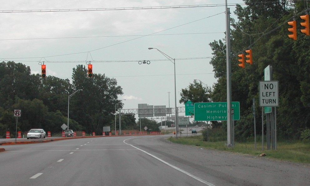
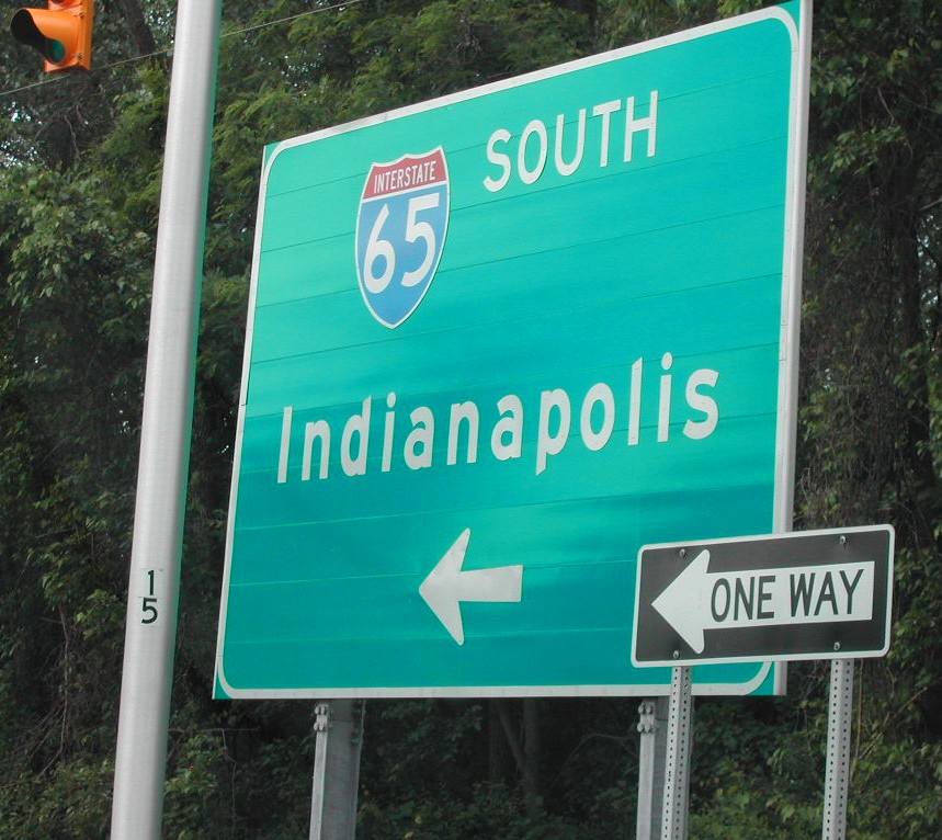
Interstate 65 north at the former intersection with the access road (Exit 262) to the Indiana Toll Road. Removed during 2003-04 construction, this traffic signal was replaced with an interchange. Photo by Brian Dowd (12/02/02).
South End  ‐ Mobile, AL
South at
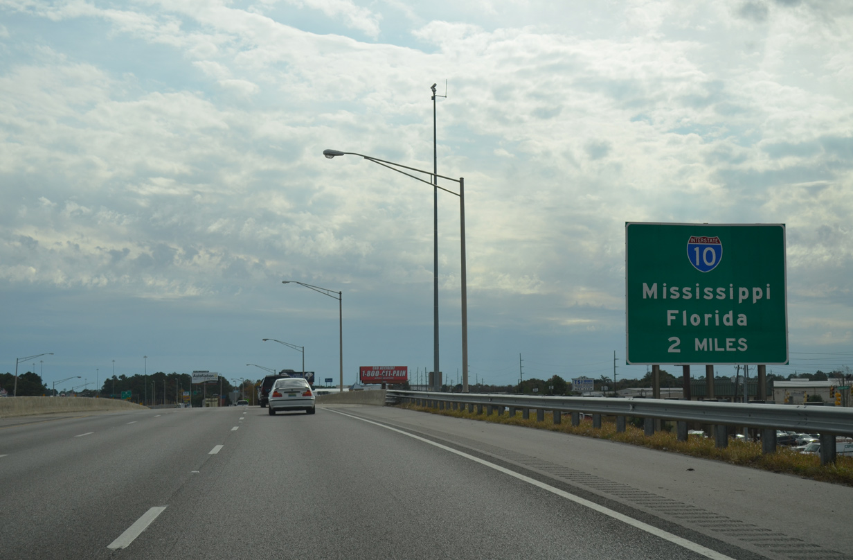
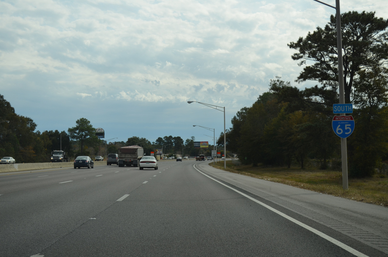
The first sign for Interstate 10 precedes the six-ramp parclo interchange (Exit 1) with U.S. 90 (Government Boulevard) along I-65 south. ALDOT typically posts two mile advance signs for Interstate to Interstate junctions. 11/25/14
East at
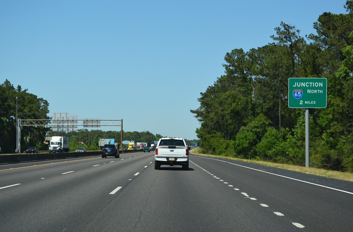
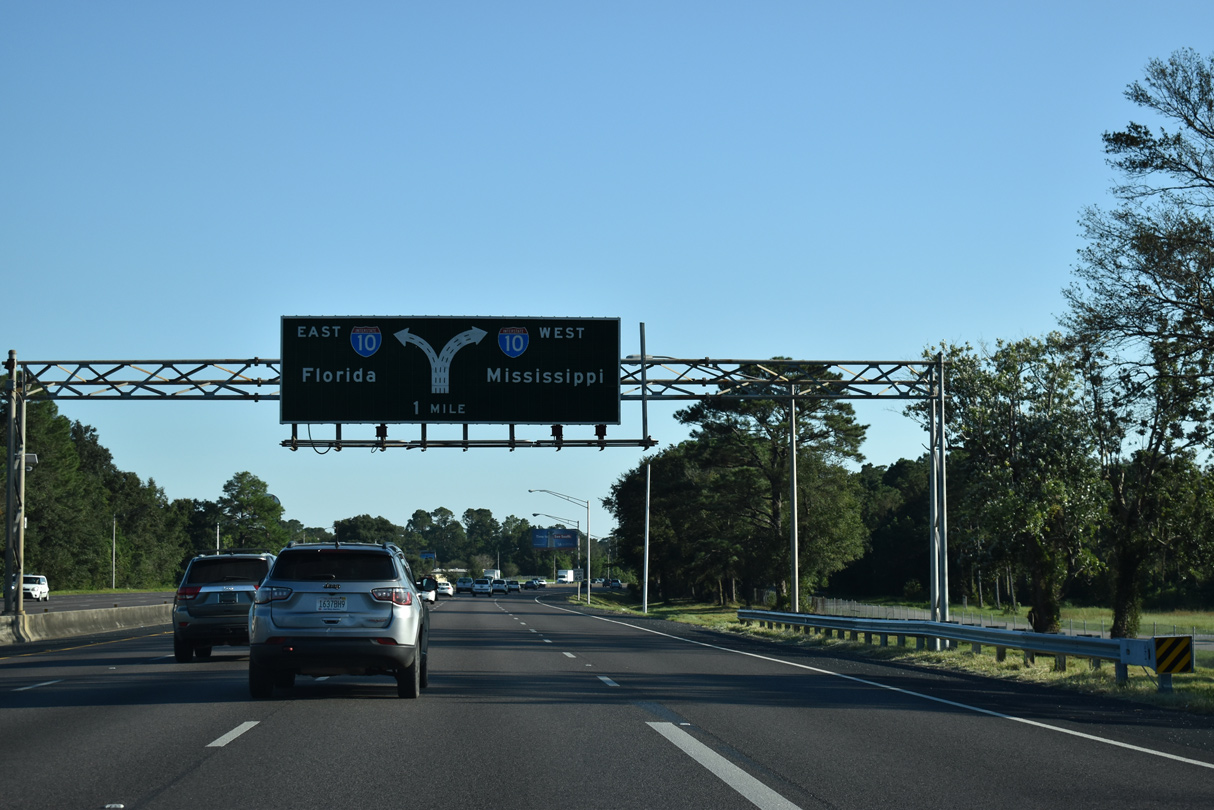
The collector distributor from the cloverleaf interchange (Exit 17) with SR 193 (Rangeline Road) returns to eastbound I-10 two miles ahead of Interstate 65 north in Mobile. 05/11/22
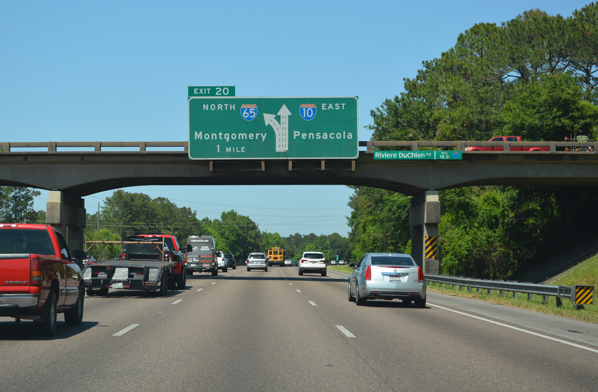
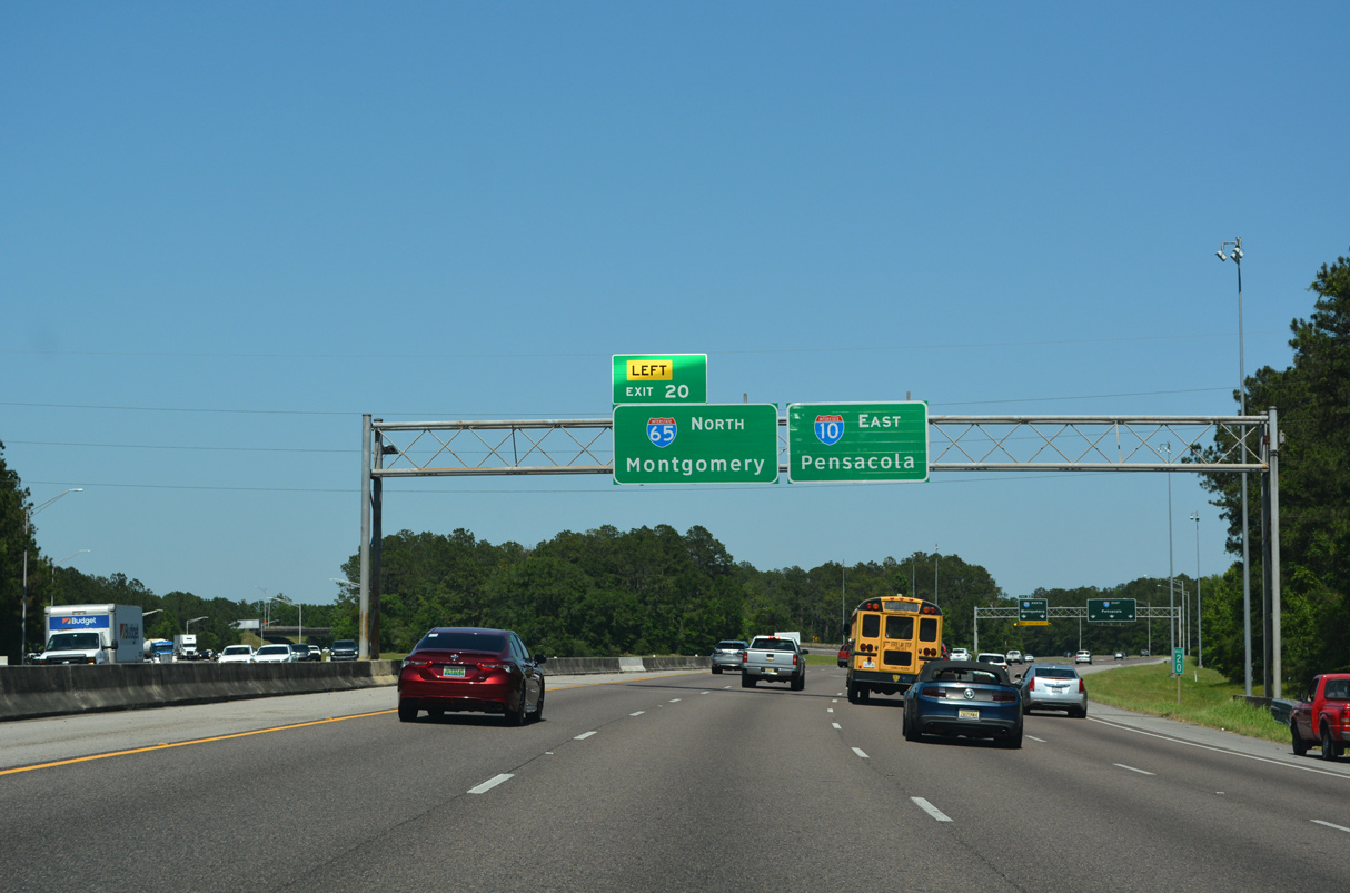
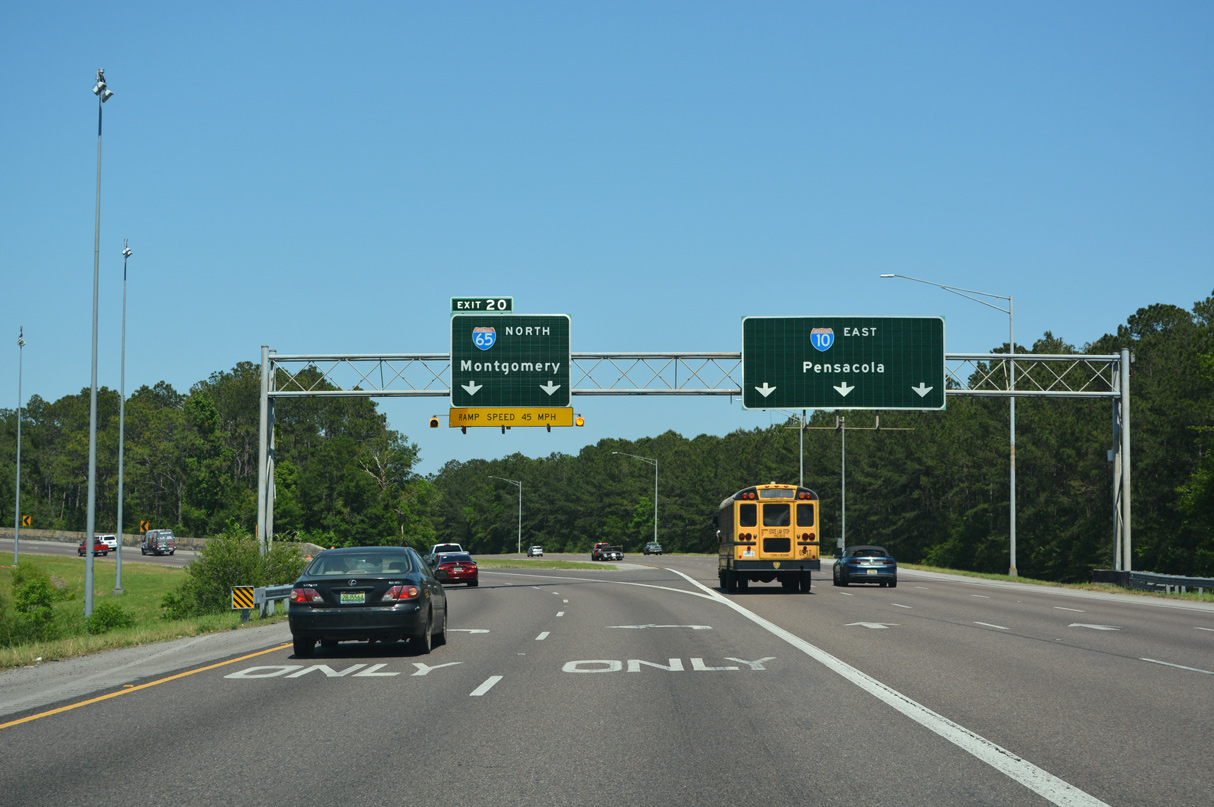
West at
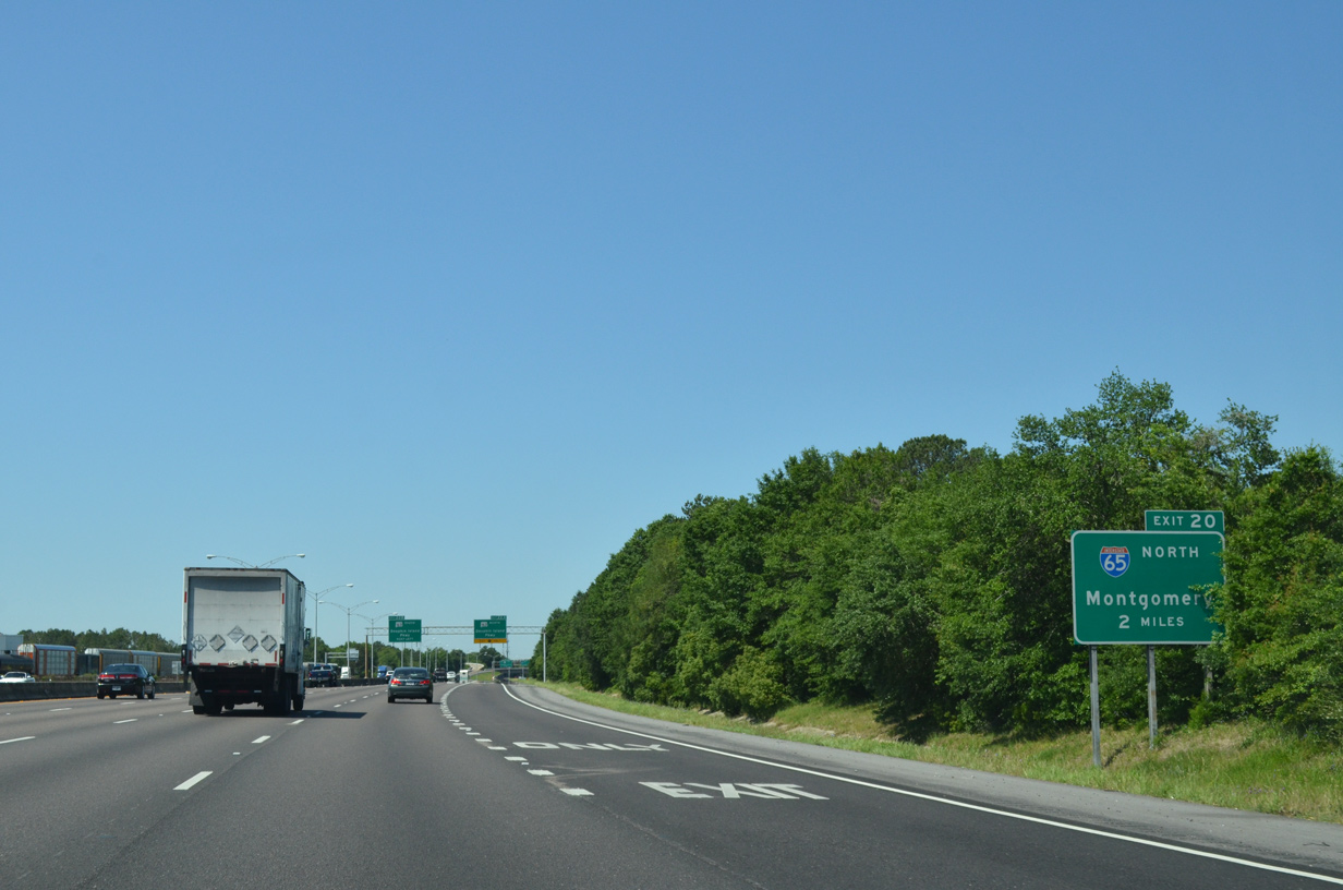
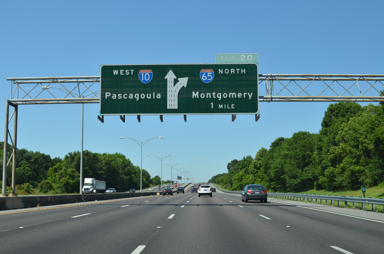
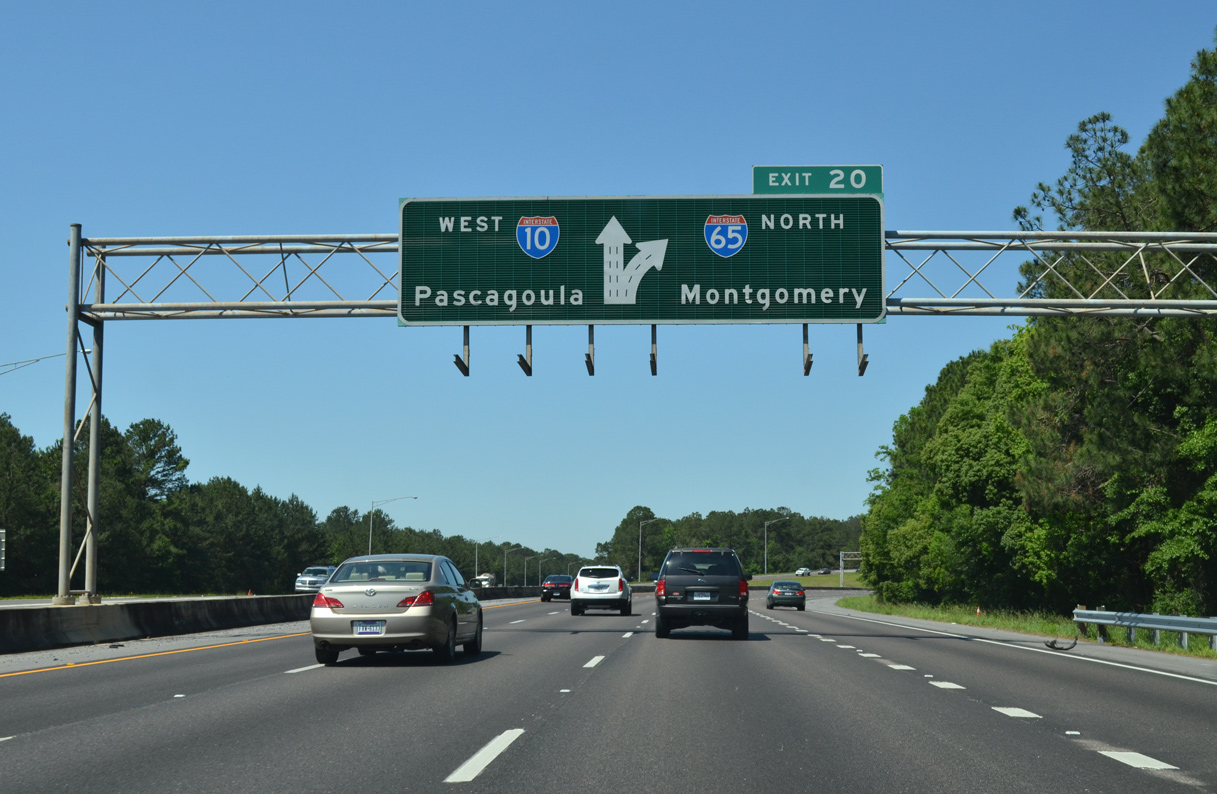
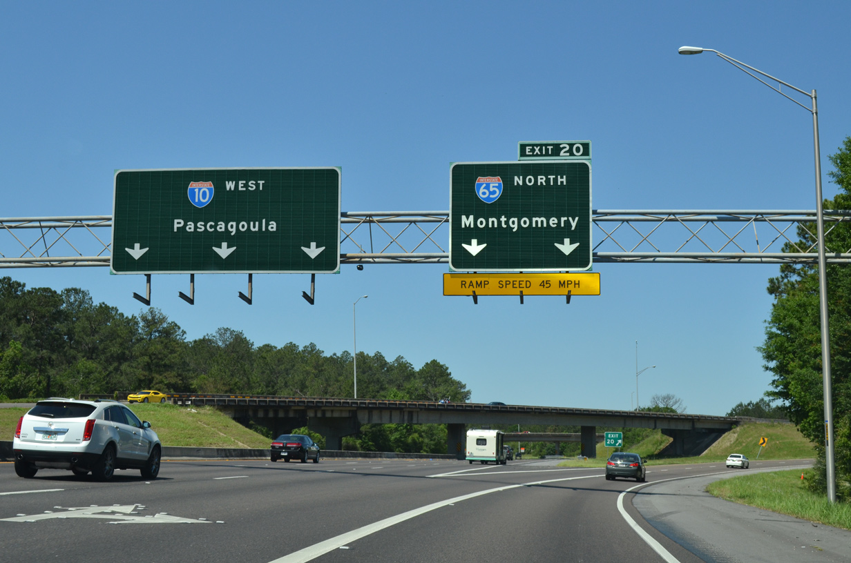
Two miles east of the three wye interchange (Exit 20) with Interstate 65 north on I-10 west. 05/06/16
North
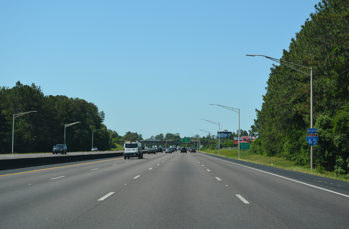
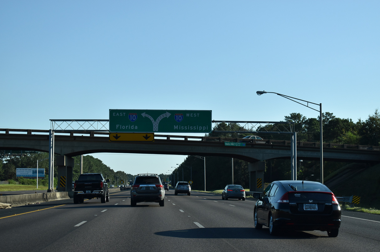
The first confirming marker for Interstate 65 north precedes the Halls Mill Road overpass in Mobile. 05/11/22
South End – Past Views
Past Views Gallery (Tap to Expand / Collapse Section)
at
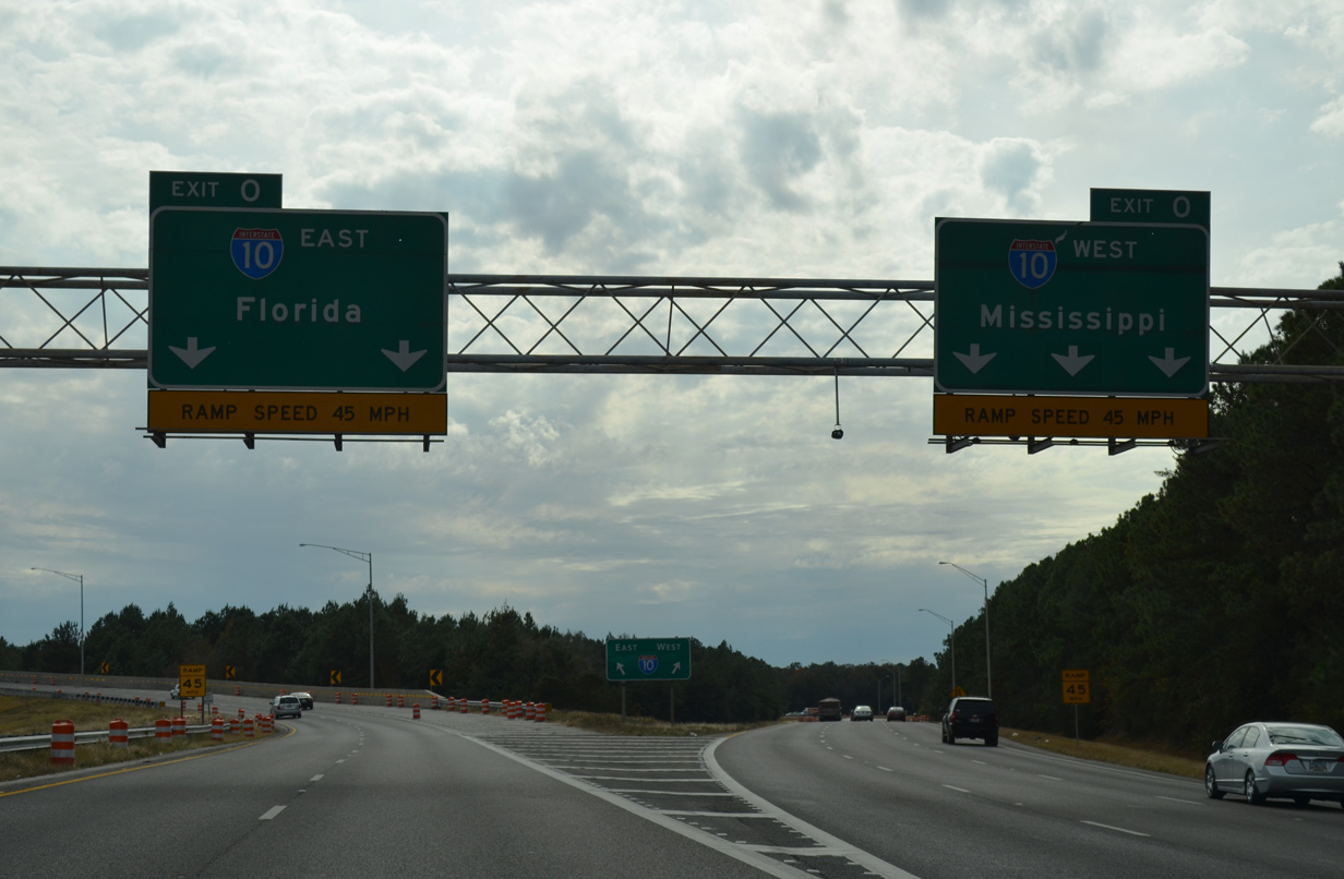
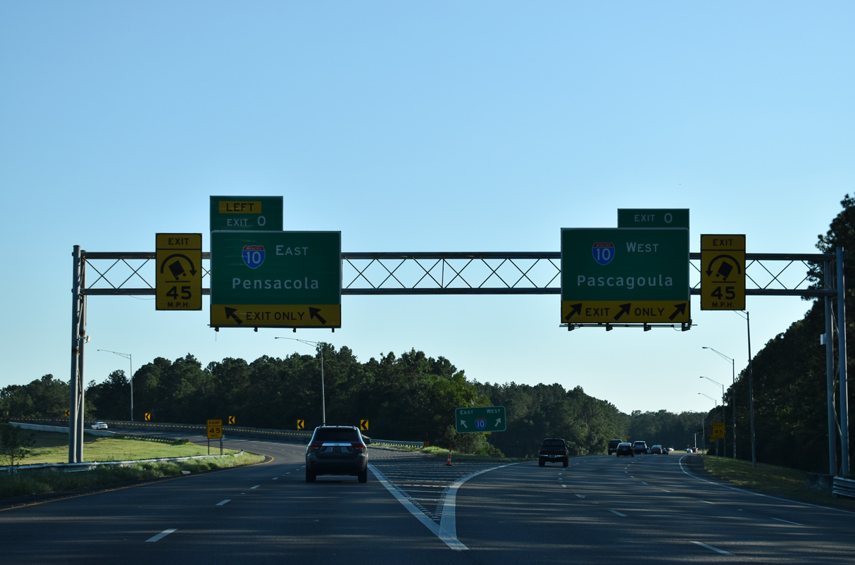
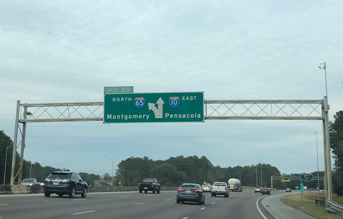
Florida and Mississippi were replaced with Pensacola and Pascagoula with a replacement of the guide signs made at the south end of Interstate 65 by 2021. 11/25/14
References
- Larry Cody, email: "I-65 Terminus in Mobile Al," August 15, 2003.
- Alabama Department of Transportation -- Construction. ALDOT.
- Tennessee Department of Transportation (TDOT). Reconstruction of I-65. Retrieved from http://www.tdot.state.tn.us/information-office/hotprojects/I-65.htm
- Kentucky-Indiana Bridges. Retrieved from http://www.kyinbridges.com
- "Bridge plan cost soars to $3.9 billion: New plan: Build eastern span first," by Marcus Green, Louisville Courier-Journal, December 5, 2006.
- Indiana Highway Ends - I-65. Retrieved from http://www.highwayexplorer.com/EndsPage.php?id=3065&section=1
- Fast Lane, The Official Blog of the U.S. Secretary of Transportation. (2013, June 20). Ohio River crossing breaks ground; new bridge means better connections for people and commerce. Retrieved from https://usdotblog.typepad.com/secretarysblog/2013/06/ohio-river-crossing-breaks-ground-new-bridge-means-better-connections-for-people-and-commerce.html#.YoVu6VTMKUm
- "New downtown bridge named after Abraham Lincoln." WHAS, November 30, 2015.
- "Abraham Lincoln Bridge opens to northbound traffic." WHAS, December 7, 2015.
- "Re: I-65 downtown crossing " online posting by cabiness42, AARoads Forum, October 10, 2016.
- "Re: I-65 downtown crossing " online posting by cabiness42, AARoads Forum, November 11, 2016.