Interstate 265 Indiana / Kentucky
Overview
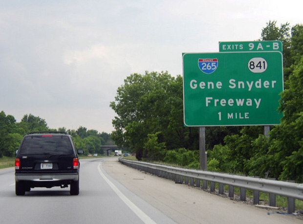
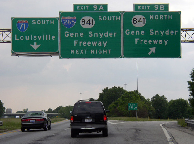
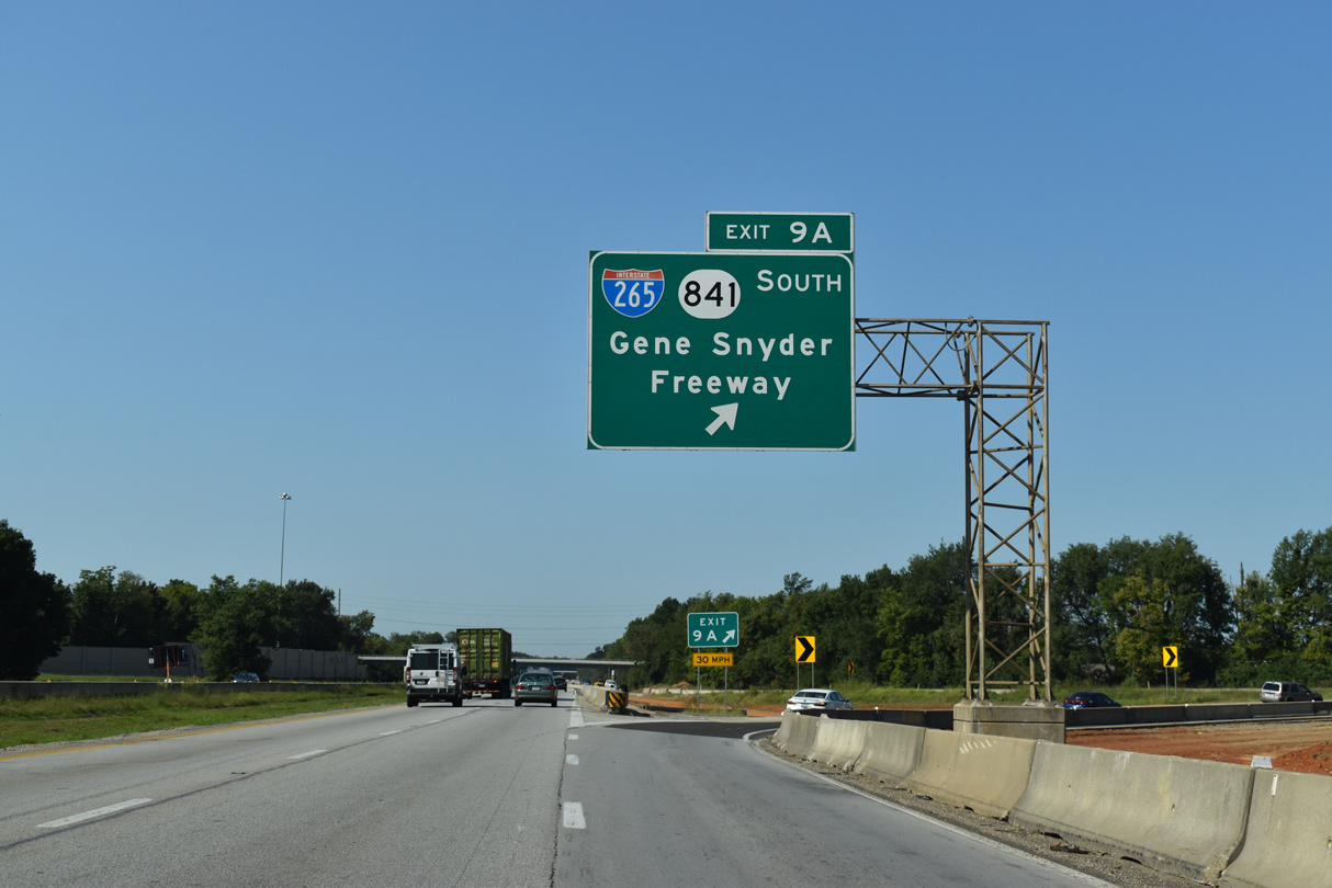
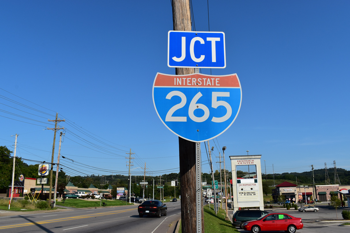
Within Kentucky, Interstate 265 is known as the Gene Snyder Freeway. I-265 originates at I-65 near Heritage Creek and concludes at I-71 near Green Spring. Extensions of the freeway west to U.S. 31W near Orell and north to the Lewis and Clark Bridge across the Ohio River are designated as Kentucky Highway 841. The belt route serves both Louisville commuters and regional traffic for Elizabethtown and points south along I-65 to and Frankfort and points east along I-64.
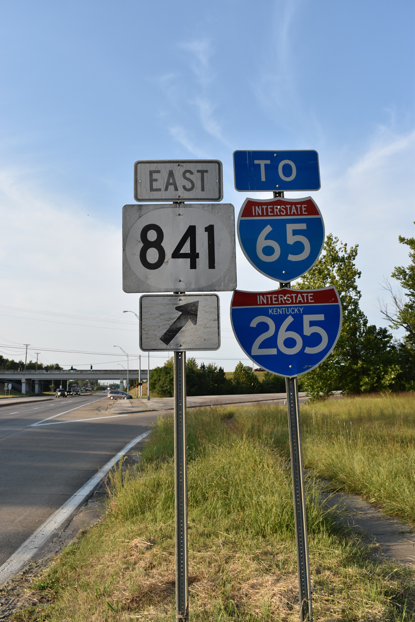
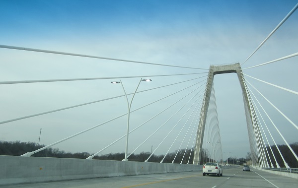
Together with SR 265 and KY 841, Interstate 265 constitutes a beltway encircling the Falls City area of southeast Indiana and the city of Louisville in Kentucky. The beltway provides a bypass for long distance and freight traffic from I-64 at New Albany, Indiana to both I-71 and I-64 along the east side of Louisville. The I-265 designation ends at I-65, while the remainder of the freeway east to the Lewis and Clark Bridge (East End Bridge) is a state road. The cable stayed bridge and approaches were to be added to the Interstate Highway System following approval of an application sent to the American Association of State Highway and Transportation Officials (AASHTO) and after approval from the Federal Highway Administration (FHWA).
AASHTO approved the application to extend I-265 on May 21, 2019. Signs for SR 265 and KY 841 for the Lewis and Clark Bridge and approaches however remain unchanged. The Indiana Department of Transportation (INDOT) and Kentucky Transportation Cabinet (KYTC) announced on August 28, 2026 a joint effort to finally replace the SR 265 and KY 841 designations with a unified Interstate 265. A $1.9 million contract changes signs along the belt route so that Exit 10 on I-265 at I-65 in Kentucky becomes Exit 0, and interchanges from that location counterclockwise increase in exit numbers to 41 A/B at Interstate 64 in Indiana. Exits 1 through 10 along the remaining stretch of KY 841 west from I-65 to U.S. 31W (Dixie Highway) will have no numbered system. The signing project commences by August 31, 2026 and will be completed by Summer 2027 (McGavic, 2026).
Mileage by State
| Indiana | 6.73 mi |
| Kentucky | 24.48 mi |
Data Sources
December 31, 2021 Interstate Route Log and Finders List
KYTC Functional Classification Interactive Map. https://maps.kytc.ky.gov/functionalclass/
Major Projects
The I-Move Kentucky project upgraded the cloverleaf interchange joining Interstate 265 with I-64. Designs evaluated included a half turbine with loop ramps along I-265 northbound replaced (Alternate 3A), and a directional cloverleaf with loops in the northwest and southeast quadrants removed (Alternate 1). A public meeting on the project took place on January 10, 2019.
Alternate 3B, a partial turbine interchange with loop ramps along I-265 northbound replaced, was ultimately selected by the Kentucky Transportation Cabinet (KYTC) on May 13, 2019. Construction on the I-Move Kentucky project commenced in Spring 2020. An additional lane is being added to I-265 between KY 155 (Taylorsville Road) and Interstate 71. A collector distributor lane was also built along southbound I-71 at the cloverleaf interchange with I-265/KY 841. Costing $180 million, work ran through Fall 2024 (KYTC, 2024).
History
The short section of Interstate 265 between I-64/U.S. 150 and I-65 opened in 1977. The State Road 265 extension east from I-65 was completed in 1995 (J. Cozart, personal communication).
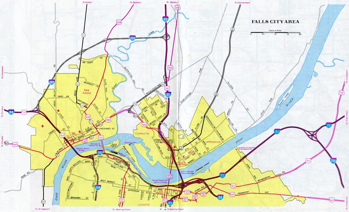
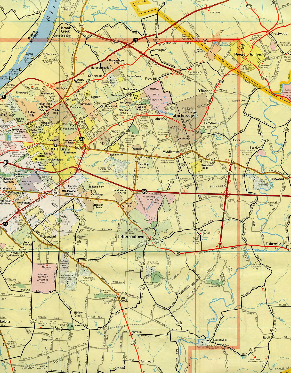
Prior to the completion of the Gene Snyder Freeway, the route was designated in its entirety as Kentucky Highway 841. AASHTO approved the establishment of I-265 on June 29, 1978, from I-65 and South Park Road northeast to Interstate 71. The I-265 portion of the Gene Snyder Freeway fully opened to traffic in 1987.
East End Bridge
The East End Bridge spanning the Ohio River between Utica, Indiana and Prospect, Kentucky was first envisioned in the mid 1970s. The span was included in the Louisville-Southern Indiana Ohio River Bridges Project area improvements for I-64, I-65 and I-265. Reaching over 60% of initial estimates, the cost for two new Ohio River Bridges, and the reconstruction of "Spaghetti Junction" (Kennedy Interchange) joining I-64, I-65 and I-71 at Downtown Louisville, was estimated to be $3.9 billion in December 2006 (Ohio River Bridges Project, 2016):
- Interstate 265 Connector/East End Bridge - $1.29 billion with completion in 2013.
- Interstate 65 Downtown Louisville Bridge Replacement - $868.4 million with completion in 2019.
- Interstate 64, I-65 and I-71: Reconstruct the "Spaghetti Junction" interchange - $1.74 billion with completion in 2024.
Design of the overall Ohio River Bridges Project was scheduled for completion by mid-2014. Design and right of way work for the East End Bridge commenced in 2005 and 2006 respectively (Louisville Courier-Journal, 2006).
The East End Bridge was a controversial project, but its importance was stressed during the September 9, 2011 to February 17, 2012 emergency shutdown of the Sherman Minton Bridge. Spanning the Ohio River as part of I-64, the Sherman Minton Bridge closed due to steel support beam damage discovered during routine inspections.
The March 2012 Cost and Schedule from Financial Plan Update revised the Ohio River Bridges Project time table and cost to $2.583 billion overall (Louisville Courier-Journal, 2006):
- I-265 Connector/East End Bridge - $1.276 billion with completion in 2017.
- I-65 Downtown Louisville Bridge Replacement - $1.307 billion (including the Kennedy Interchange and approaches) with completion in 2018.
- I-64, I-65 and I-71: Reconstruct Kennedy Interchange - $659.8 million with completion by 2024.
The new freeway approaches to the East End Bridge, including a tunnel on the Kentucky side of the river, represented the bulk of costs (Ohio River Bridges Project, 2016). Funding issues for the overall project prompted officials to propose tolls for the existing Kennedy Bridge, the new parallel span (Abraham Lincoln Bridge) to it, and the East End Bridge. The U.S. government granted both Kentucky and Indiana approval for the implementation of tolls by August 1, 2012. Proposed rates were $2 for passenger vehicles, $1 for frequent commuters, and $10 for tractor trailers, all collected electronically (The Courier-Journal, 2012).
Tolls adopted on September 11, 2013 by a joint Tolling Body from both states revised the proposed rates to $4 for passenger vehicles and $12 for trucks. The group also adopted a measure that called for an increase in tolls at a rate of 2.5 percent annually or an increase based upon the national inflation rate, whichever is greater (The Courier-Journal, 2014).
Cost savings made in the 2013 Financial Plan Annual Updated submitted by the FHWA, KYTC and the Indiana Department of Transportation (INDOT), accelerated the time table for work on all three elements of The Ohio River Bridges Project. Overall costs were lowered to $2.34 billion, due to efficiencies in design and construction and inflation savings. Additionally the lead contractor for the Downtown Crossing advanced the proposed completion date by 19 months to December 2016. Similarly the East End Bridge contractor forwarded the completion to October 2016, eight months ahead of schedule. Savings were derived on both projects (The Courier-Journal, 2014):
- Accelerated completion of the Downtown Crossing saved approximately $90 million.
- Design changes and accelerated completion of the East End cut $228 million, including $209 million in design changes for reducing the Drumanard Tunnel by 200 feet in length.
Construction finally broke ground August 30, 2012 on the East End Bridge project to build a 3,000 foot extension of Old Salem Road, the first exit on the Indiana side of the Ohio River (Ohio River Bridges Project, 2012). Work on the Kentucky side followed with construction on the 1.4-mile approach to the bridge, including a 1,700 foot tunnel under U.S. 42 and the historic Dumanard Estate.
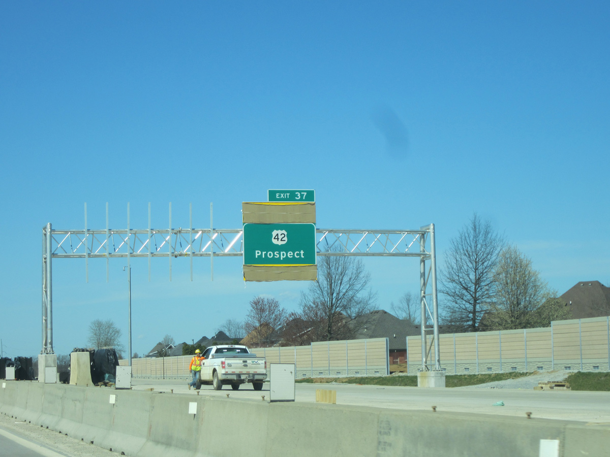
The Lewis and Clark Bridge is open to traffic! A full album of yesterday's festivities: https://t.co/Fsx3dz3qvr pic.twitter.com/WGz2T5DSZu
— East End Crossing (@EastEndCrossing) December 19, 2016
With a final cost of over $2.3 billion, the cable-stayed Lewis and Clark (East End) Bridge formally opened to traffic on December 18, 2016 (WVB East End Partners, 2016). Electronic toll collection commenced for the span on December 30, 2016.
Indiana West End 

 ‐ New Albany
 West at
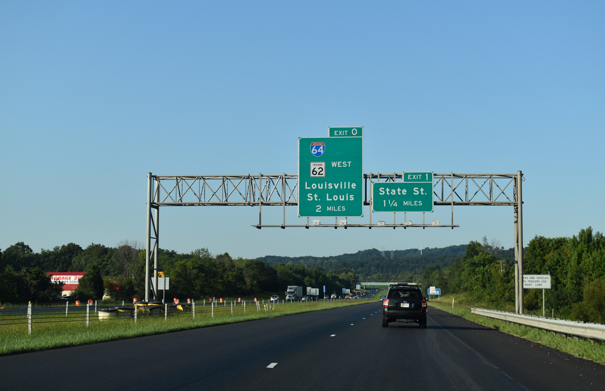
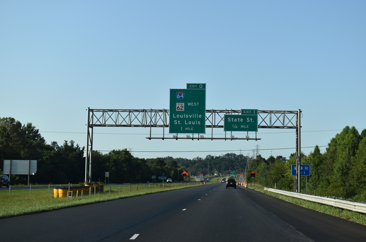
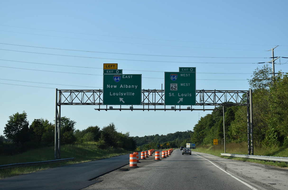
Interstate 265 west meets State Street (former U.S. 150) and Paoli Pike ahead of I-64 at New Albany. 09/08/20
East at 
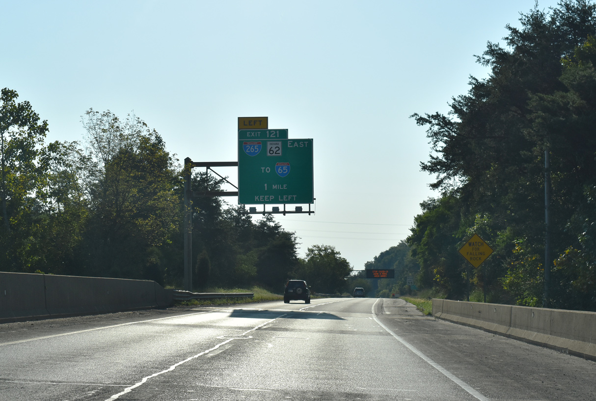
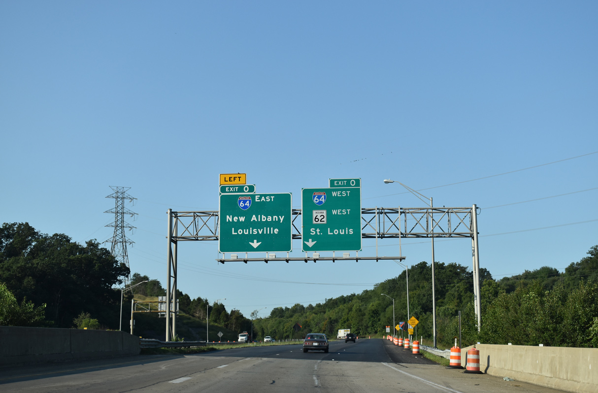
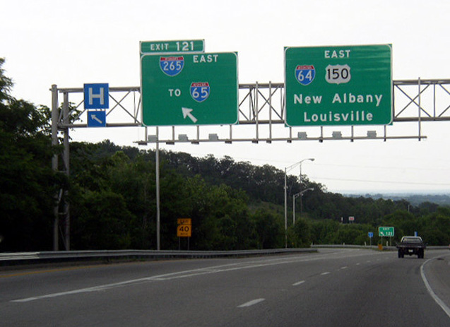
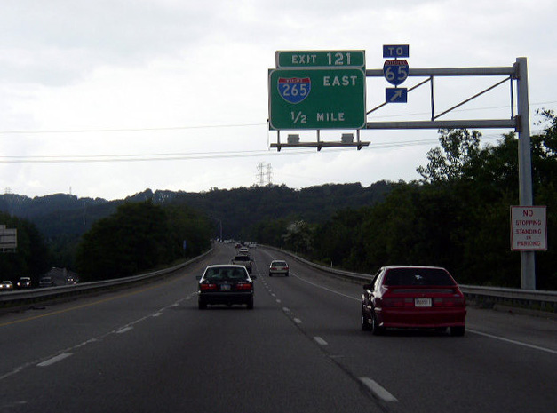
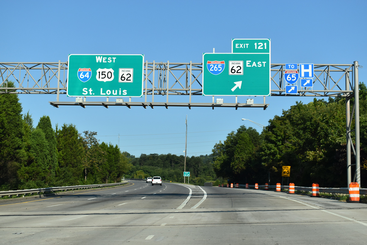
Interstate 64 lowers from the Knobstone Escarpment to meet the west end of I-265 at Exit 121. State Road 62 splits with the freeway for the bypass of New Albany and Clarksville. 09/08/20
West at
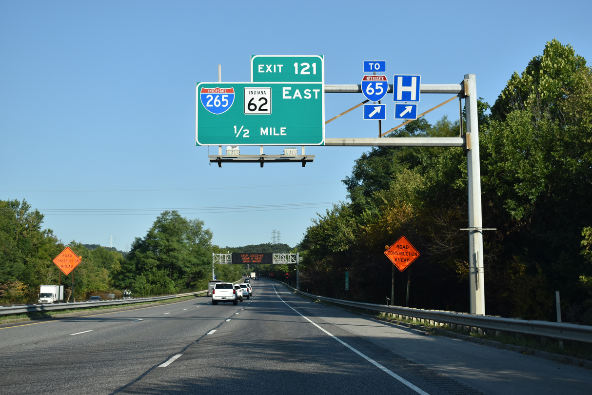
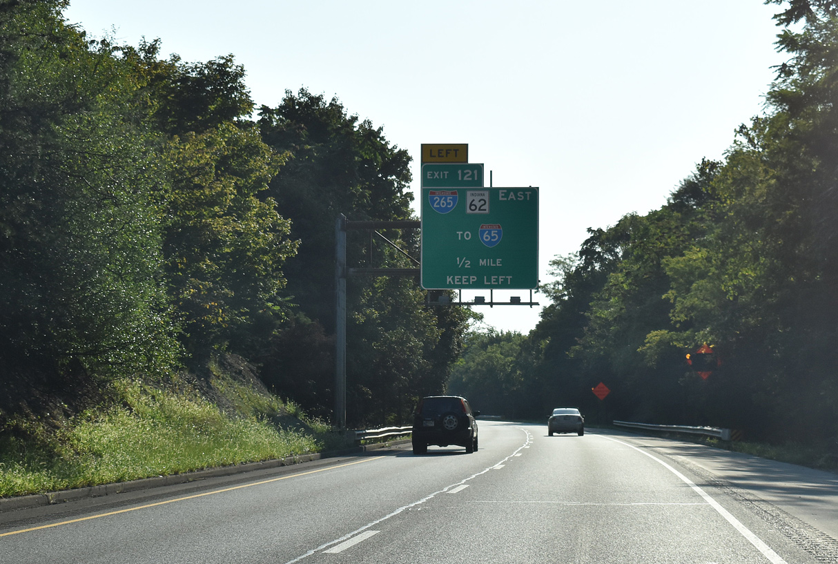
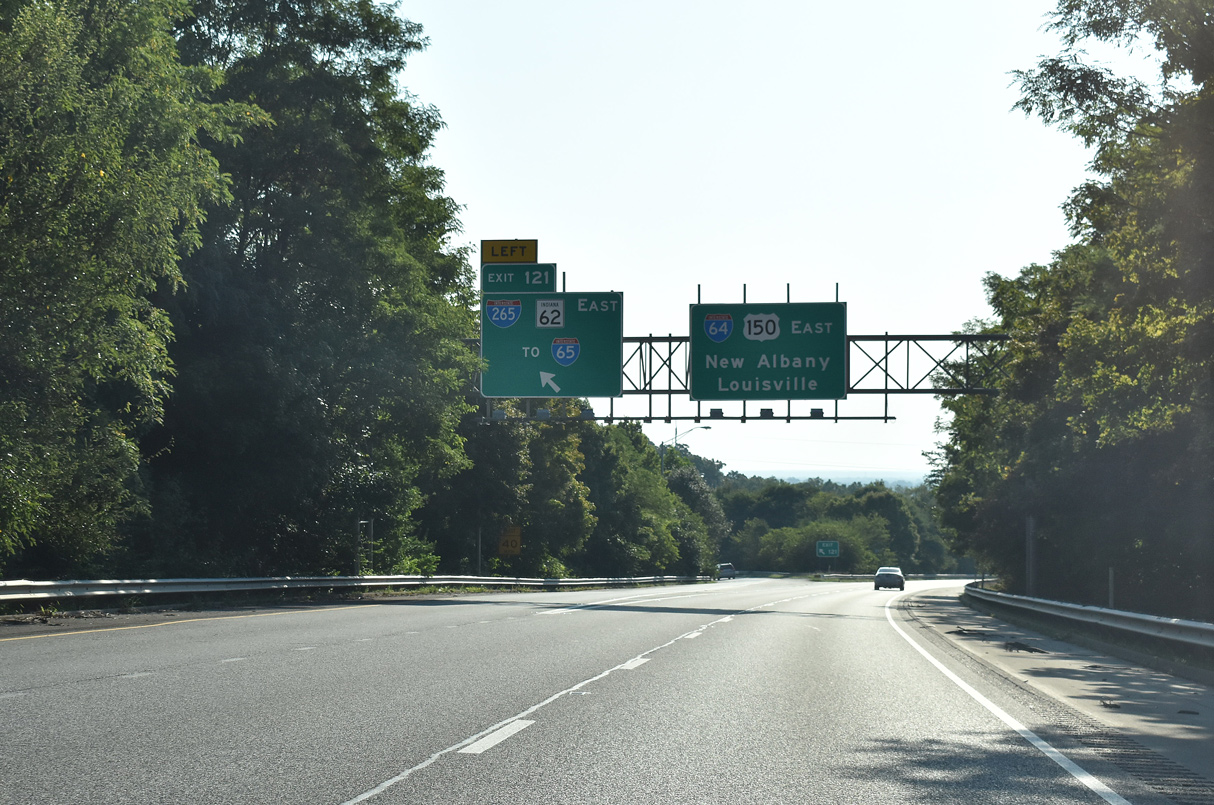
Continuing northwest from Downtown Albany, I-64/U.S. 150 advance toward the three wye interchange (Exit 121) with I-265/SR 62 east. 09/08/20
Indiana East End (former) 
 ‐ Jeffersonville
Past Views Gallery (Tap to Expand / Collapse Section)
East at
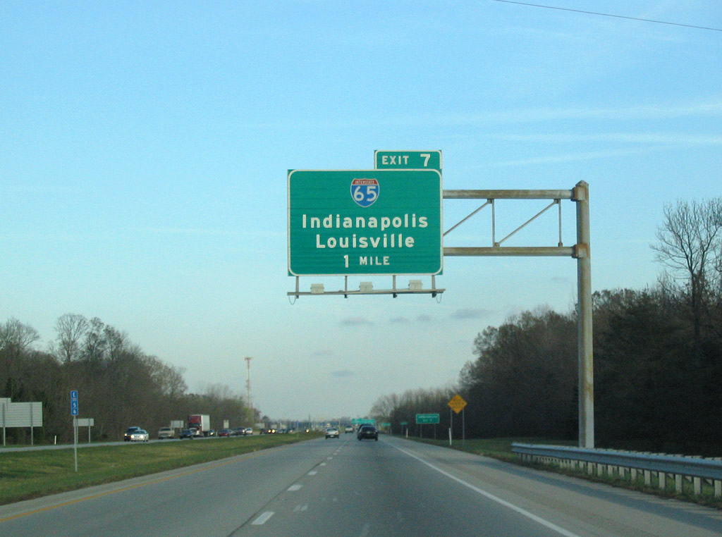
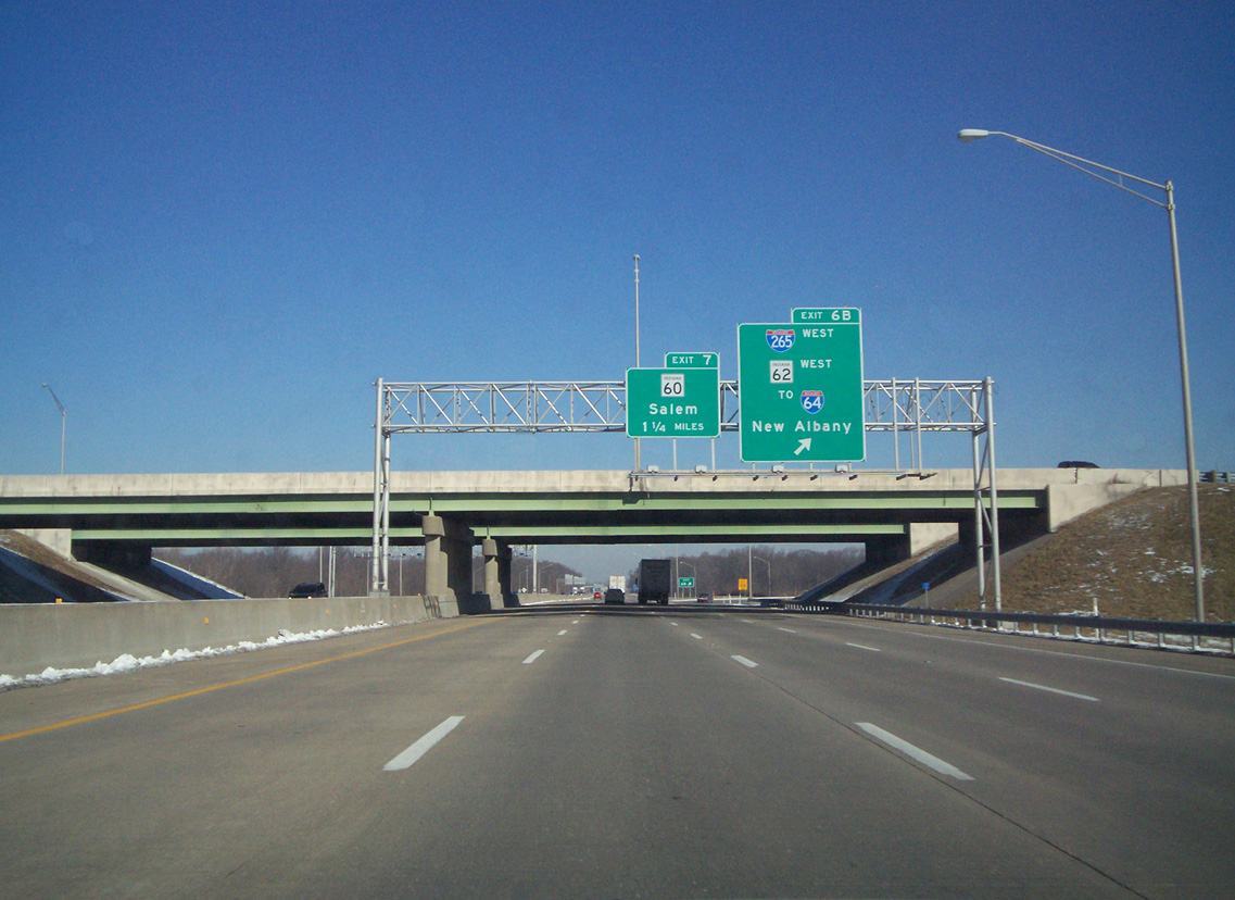
I-265/SR 62 travel one mile east to meet Interstate 65 at a directional cloverleaf interchange (Exit 7). Photo by Carter Buchanan (11/12/04).
South at
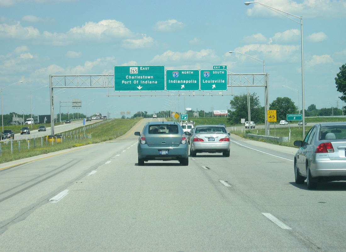
Interstate 65 heads south out of Sellersburg and meets SR 60 at Exit 7 ahead of SR 62, SR 265 east and I-265 west / Exit 6. Photo by Carter Buchanan (11/12/04).
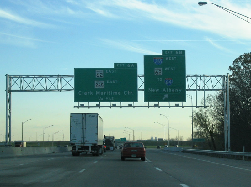
North at
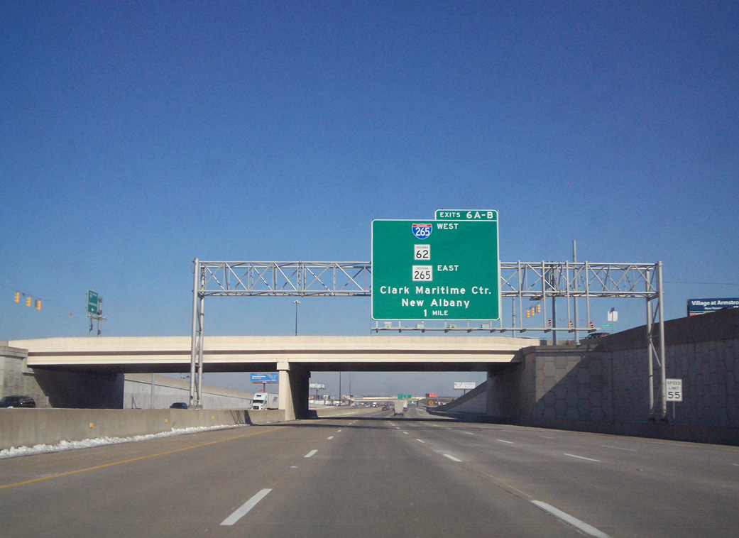
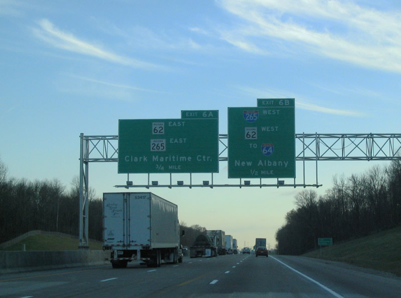
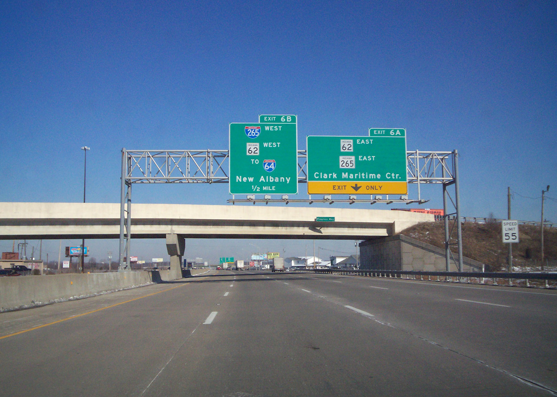
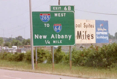
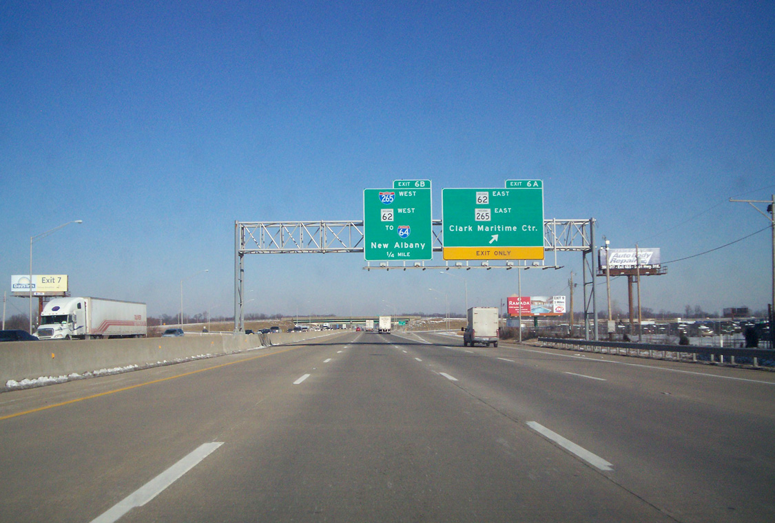
Interstate 65 north through Clarksville was rebuilt in 2003. Exits 6 A/B for I-265 west, SR 265 east and SR 62 departs in one mile. 01/31/10
West at
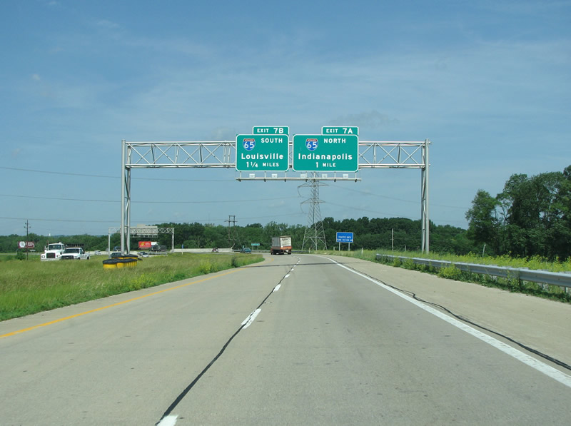
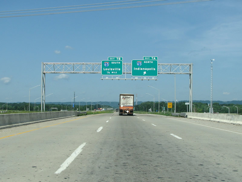
SR 62 combines with SR 265 west from E 10th Street, 2.5 miles ahead of Interstate 65 / Exit 7. Photo by Justin Cozart (06/05/08).
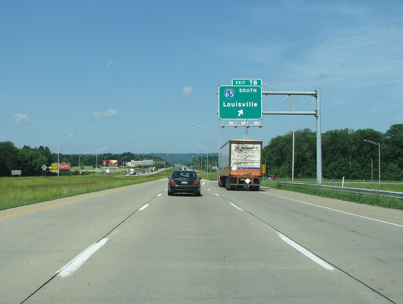
Kentucky West End  ‐ Louisville
West at
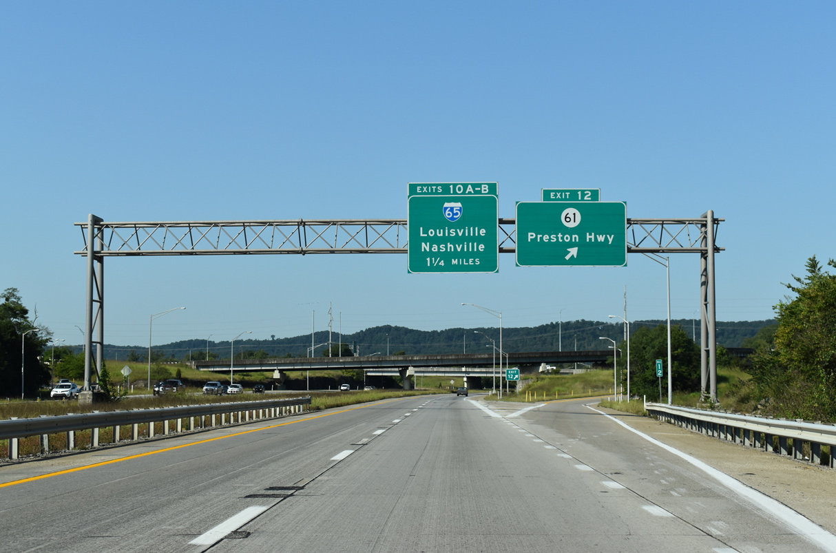
KY 61 (Preston Highway) ties into the Gene Snyder Freeway one mile east of the exchange with Interstate 65. 09/08/20
North at
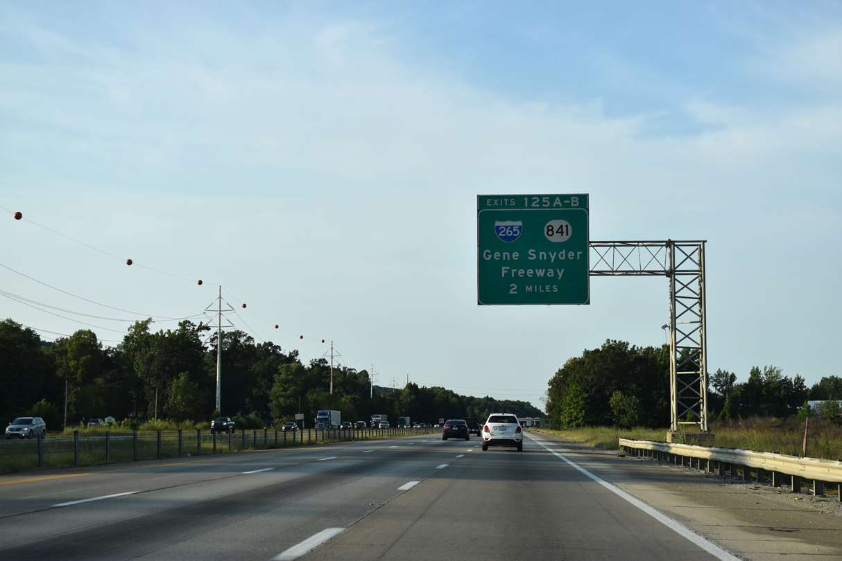
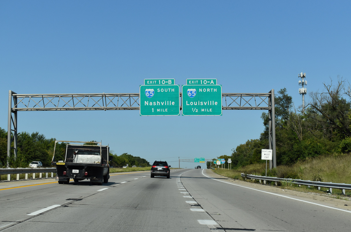
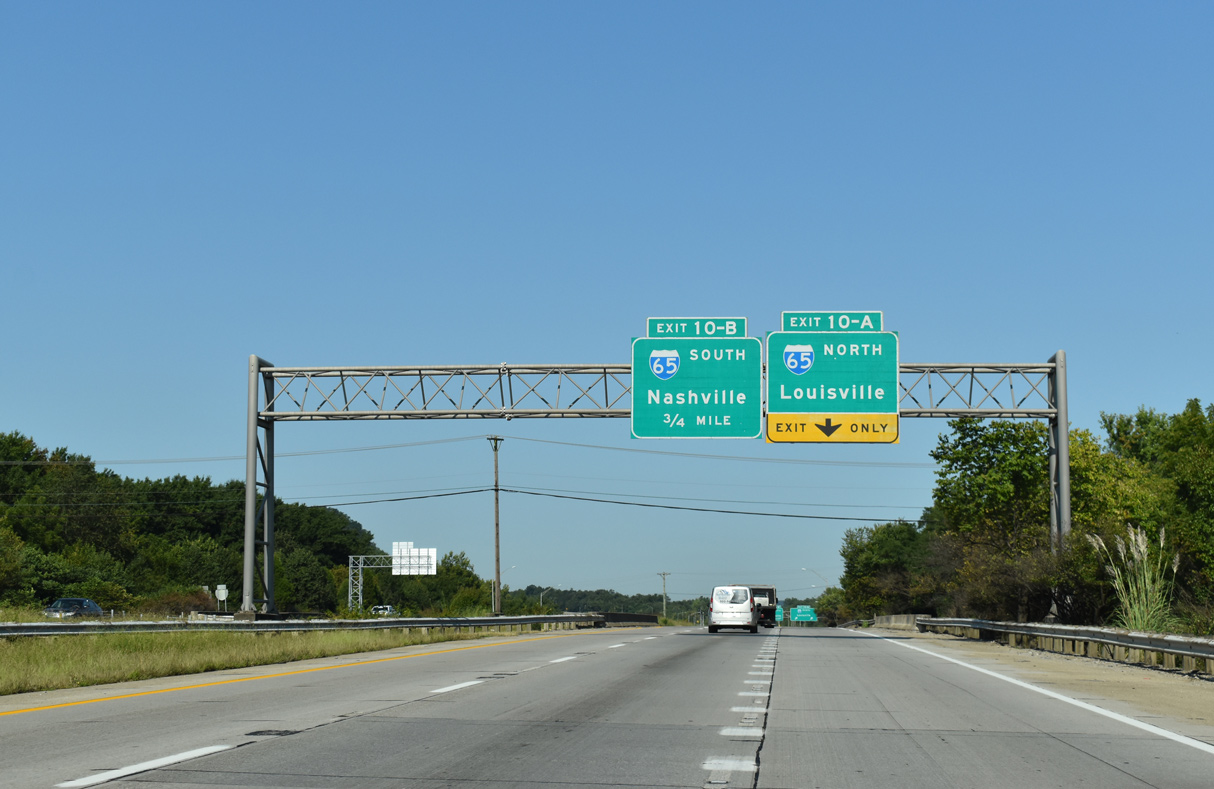
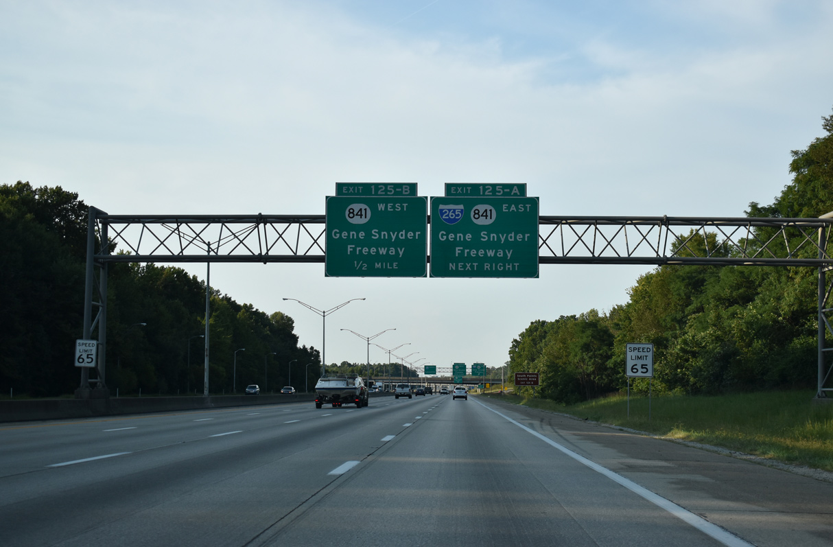
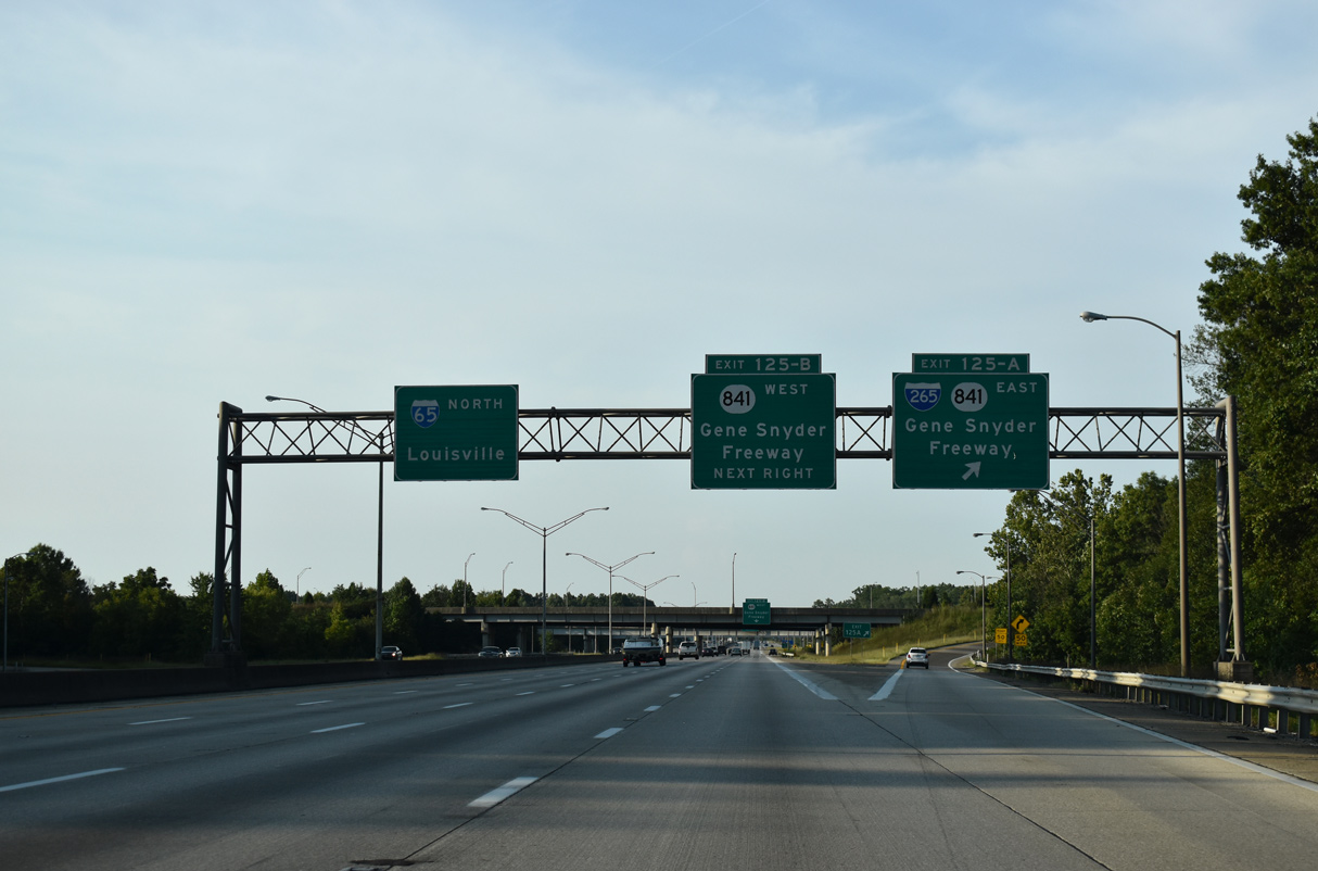
Two miles south of I-265 (Gene Snyder Freeway) east and KY 841 (Gene Snyder Freeway) west on I-65 northbound. The freeway expands to four lanes at the upcoming exchange. 09/07/20
South at
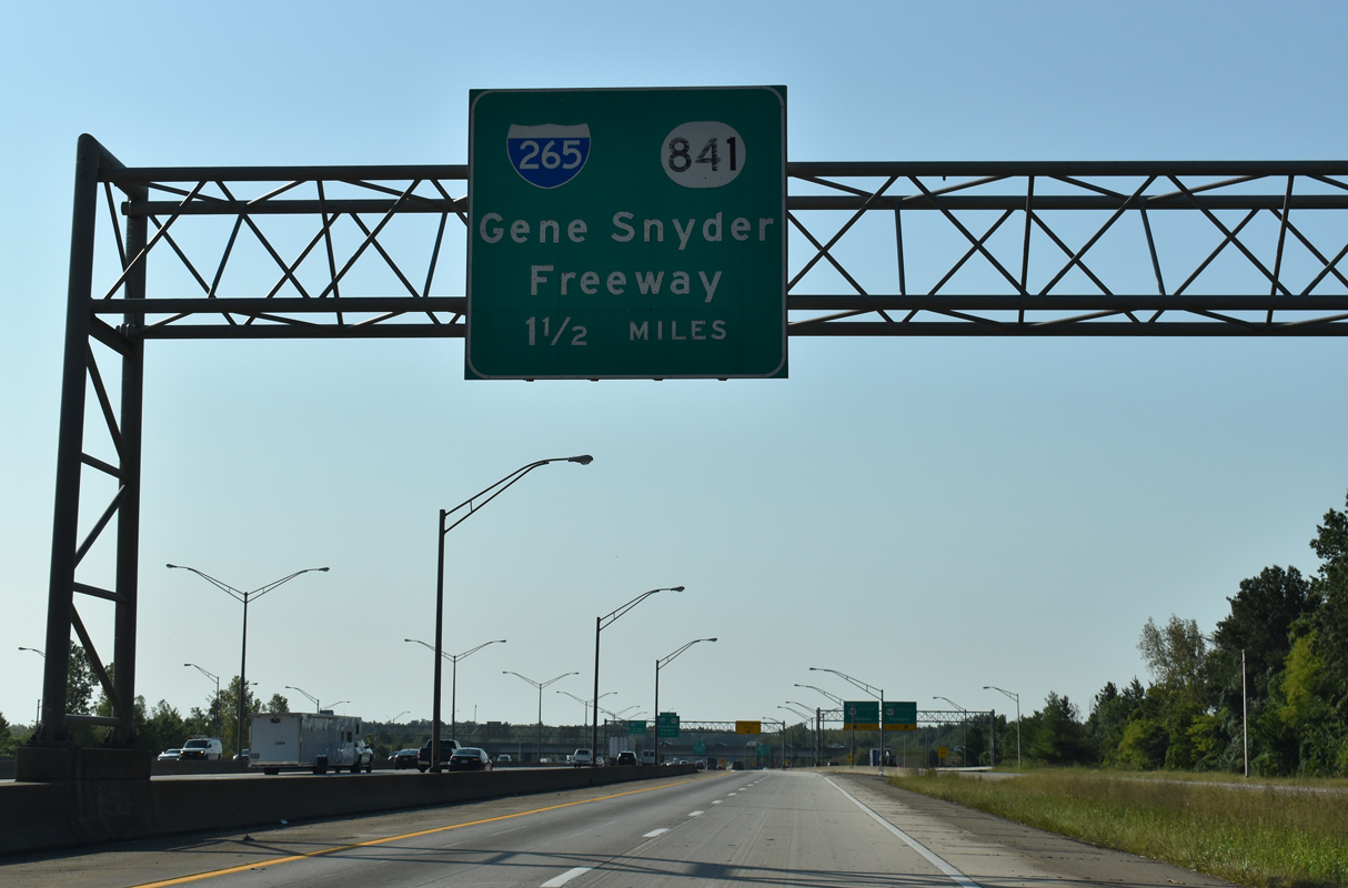
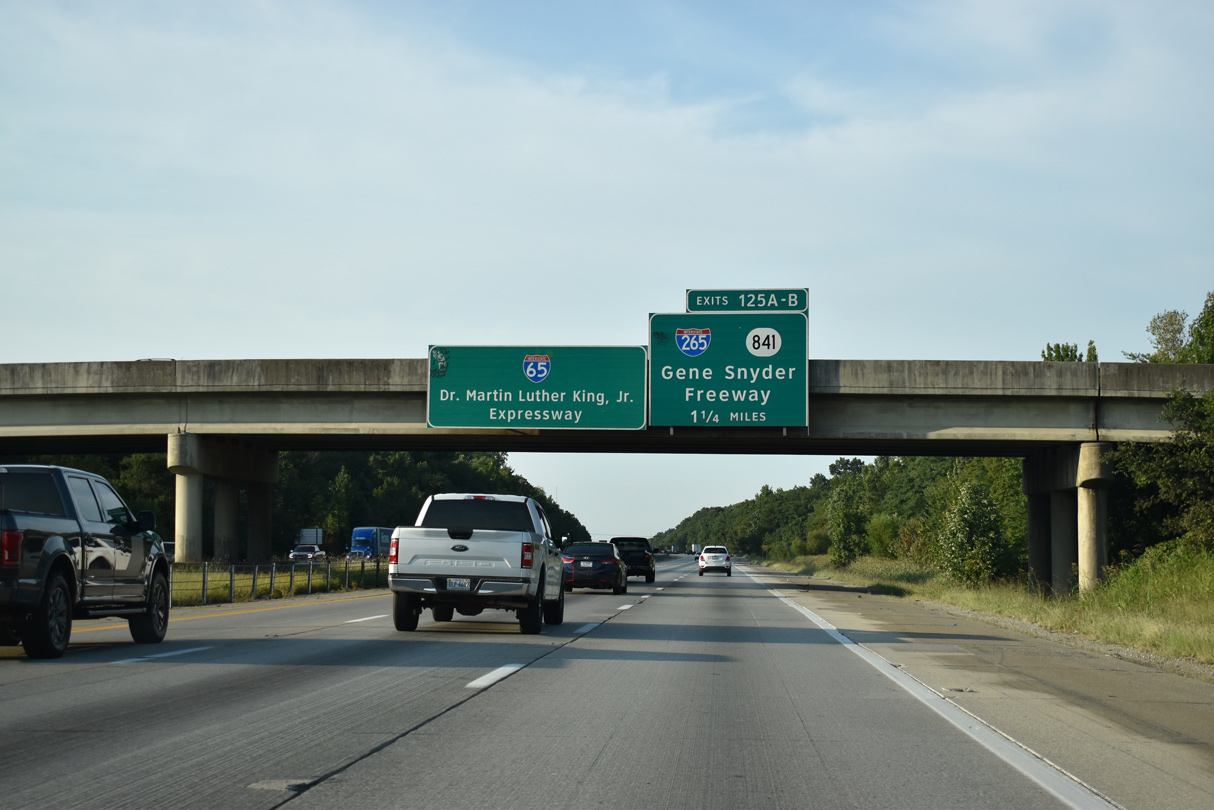
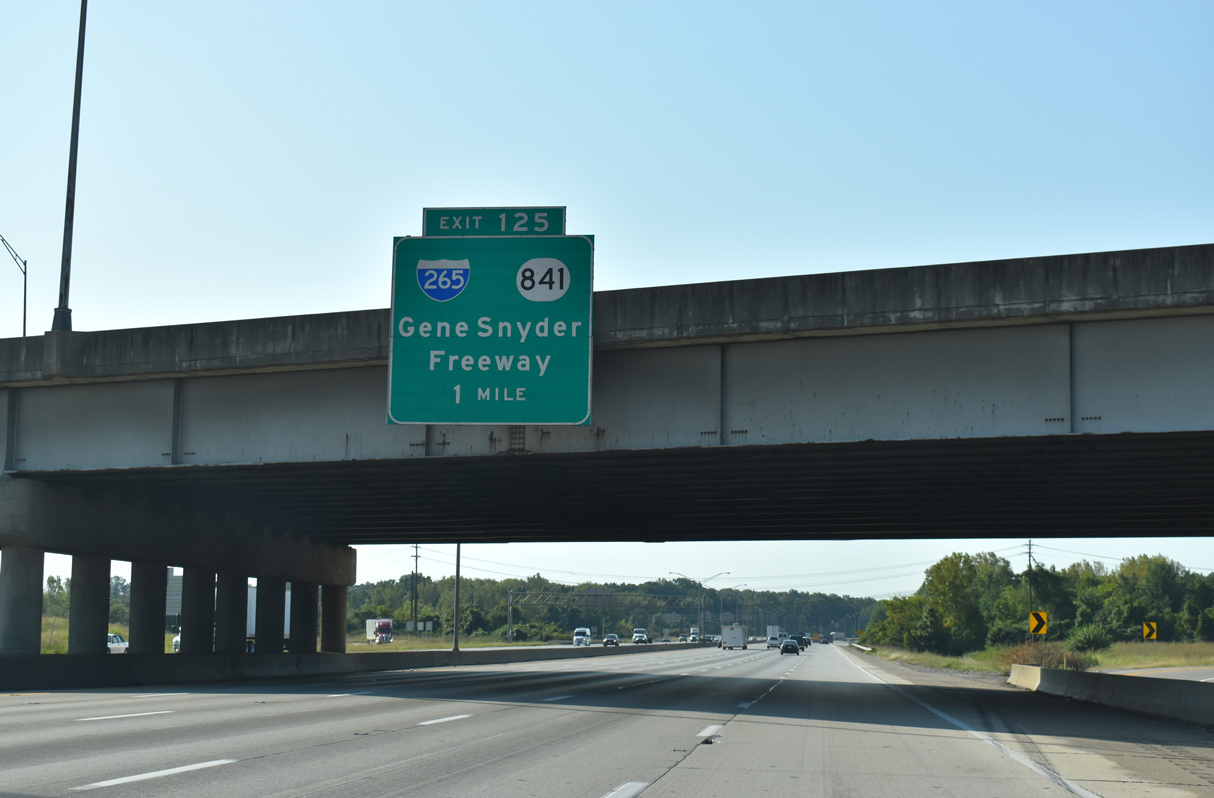
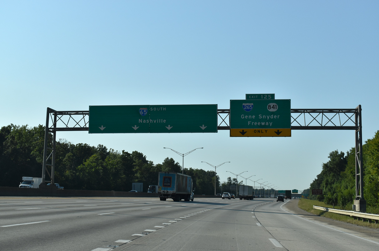
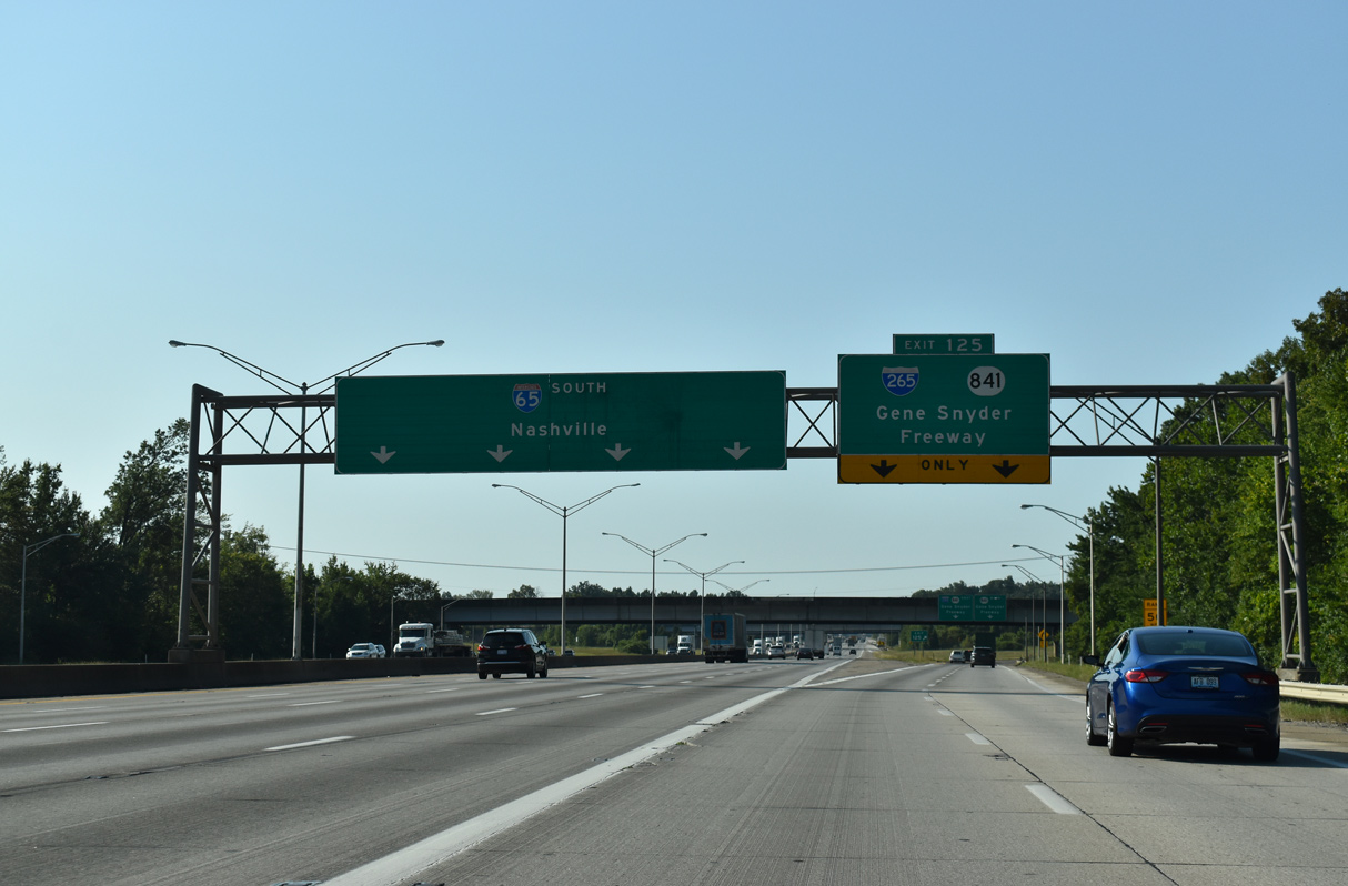
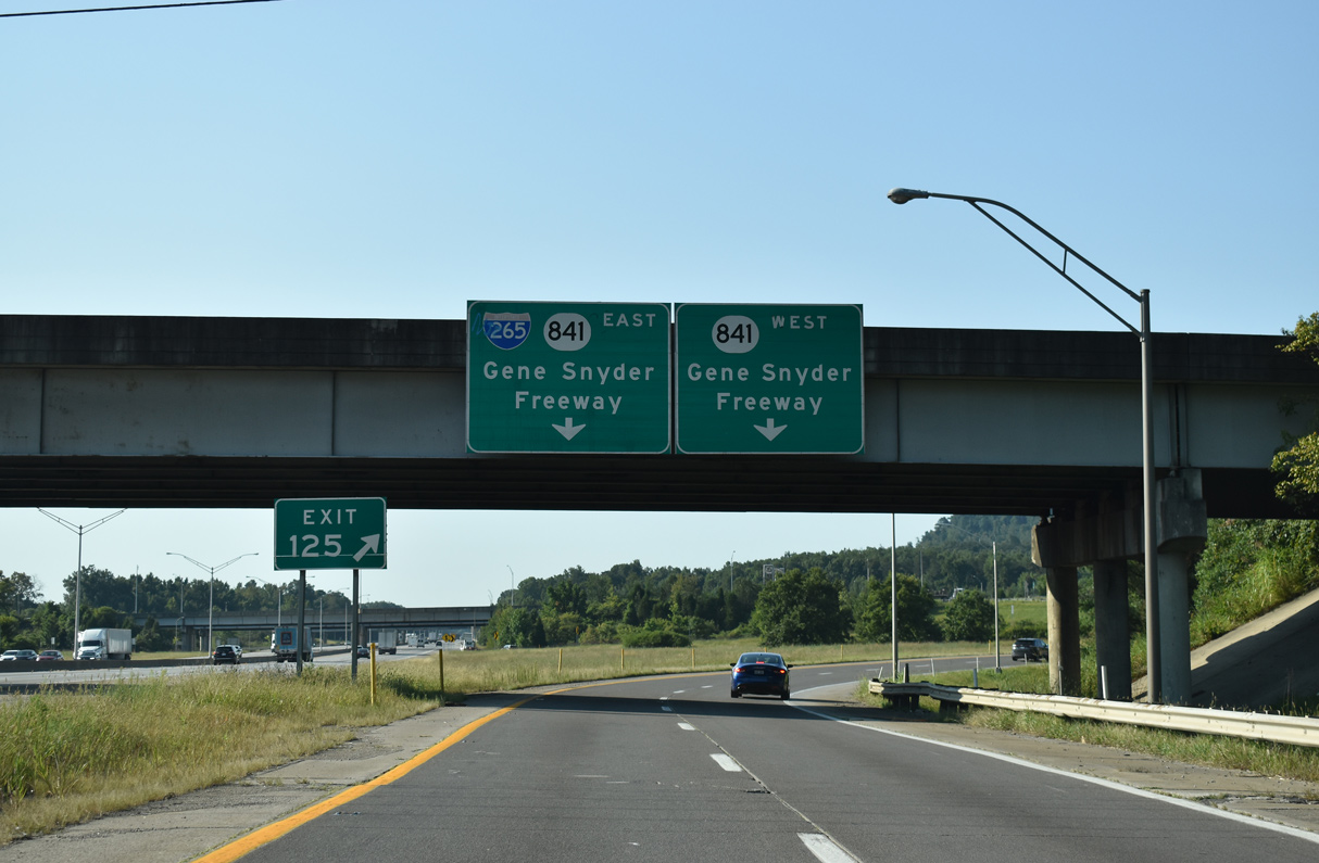
Interstate 65 travels south between industrial areas at Heritage Creek and Okolona between the exchange with KY 1065 (Outer Loop) and I-265 (Gene Snyder Freeway). 09/08/20
East at
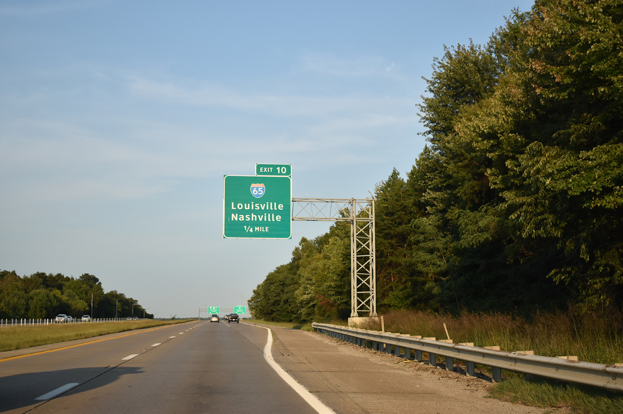
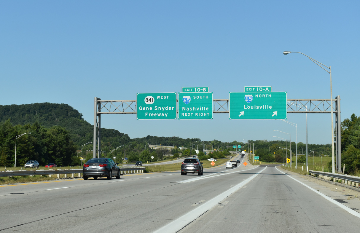
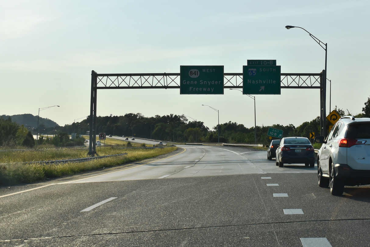
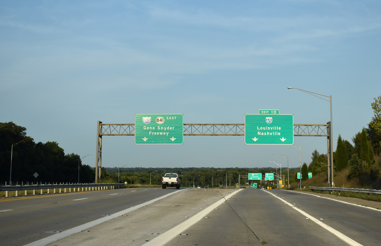
KY 841 (Gene Snyder Freeway) runs along the south side of Heritage Creek ahead of the half turbine interchange (Exit 10) with I-65/265. 09/07/20
Kentucky East End (former)  ‐ Worthington, Louisville
Past Views Gallery (Tap to Expand / Collapse Section)
North at
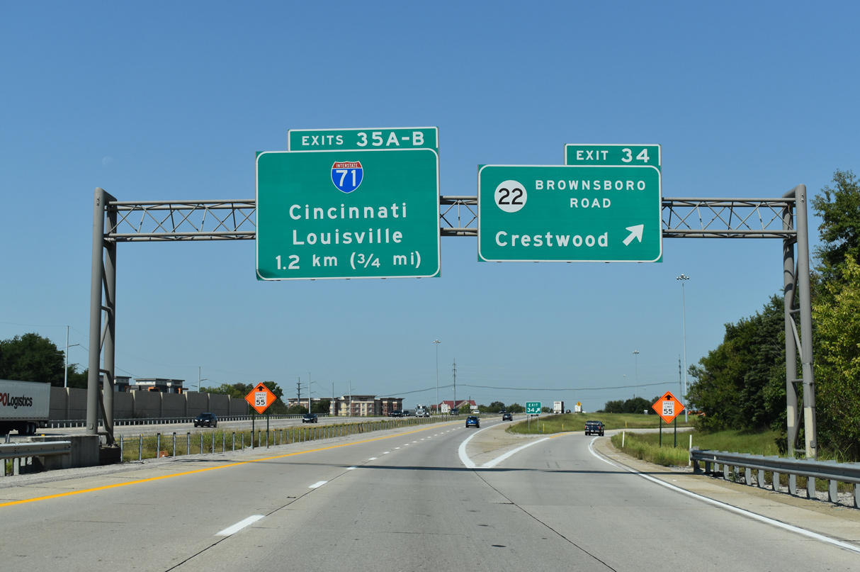
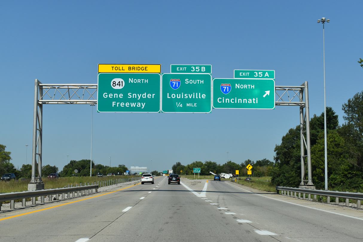
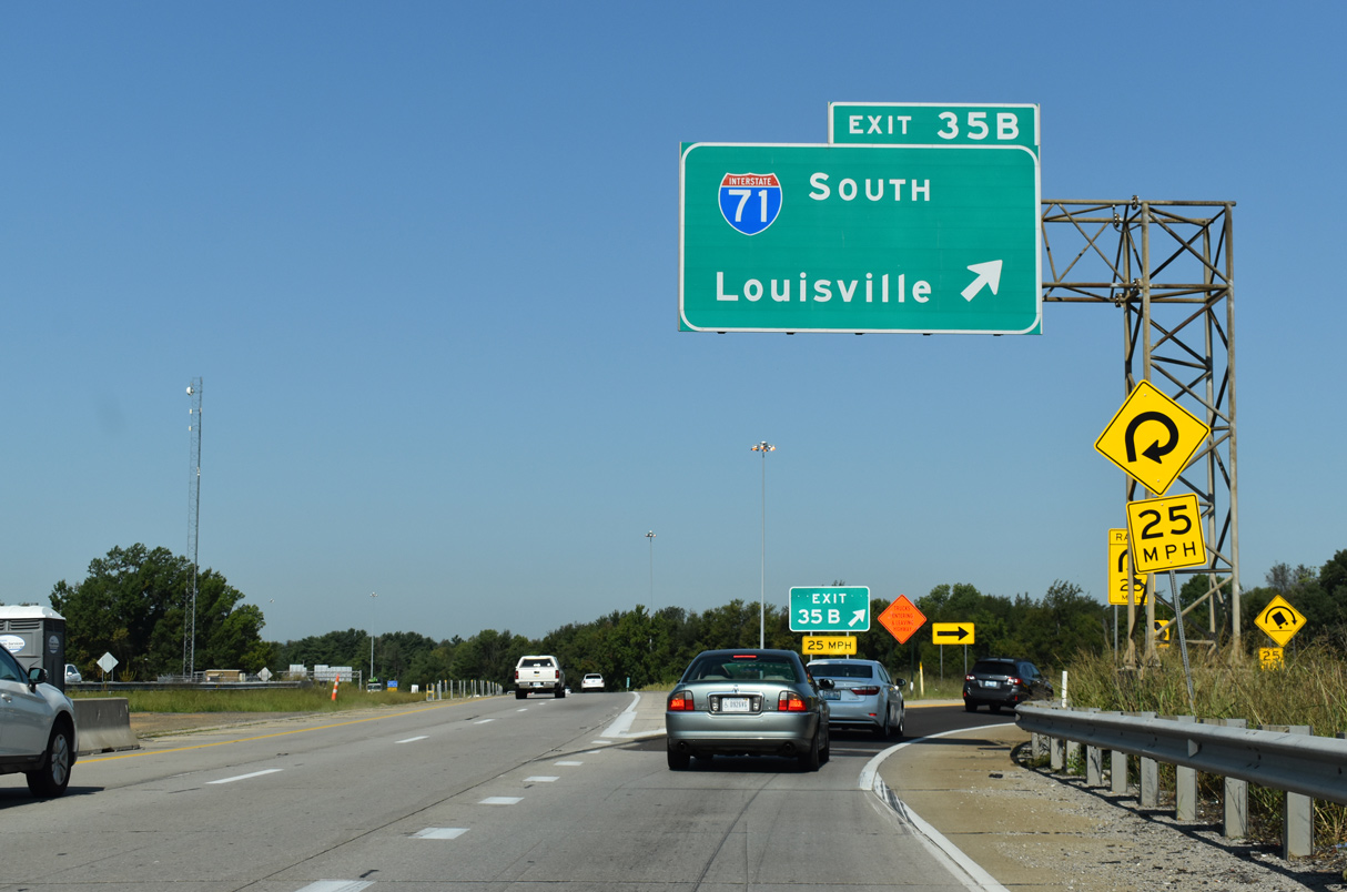
I-265/KY 841 northbound meet KY 22 (Brownsboro Road) 0.75 miles ahead of I-71 (Exits 35 A/B). 09/08/20
South at
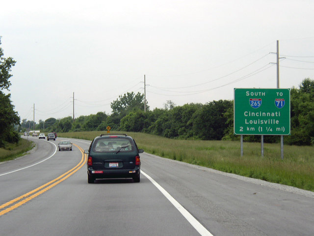
Prior to the East End Bridge project, KY 841 comprised a two lane expressway linking U.S. 42 with I-71 and I-265. Photo by Chris Patriarca (05/26/03).
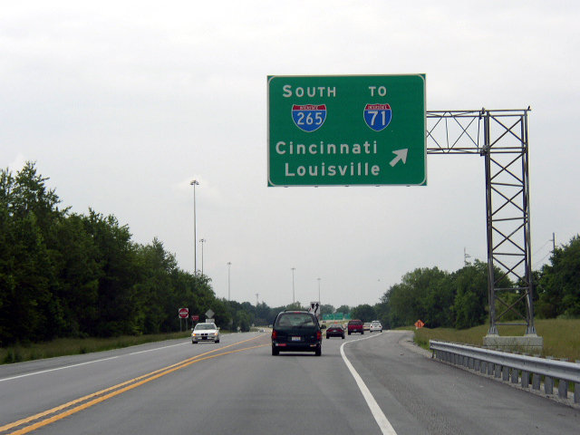
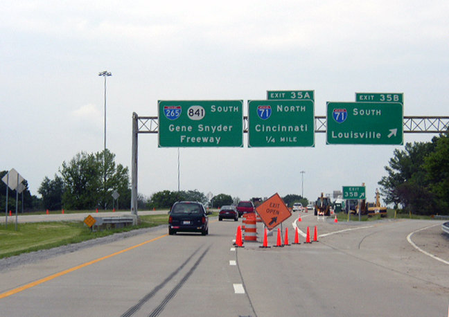
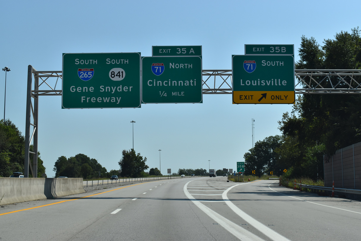
North at
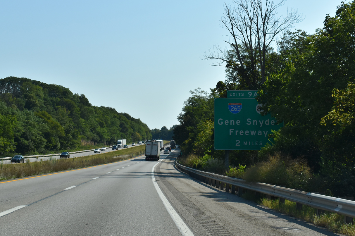
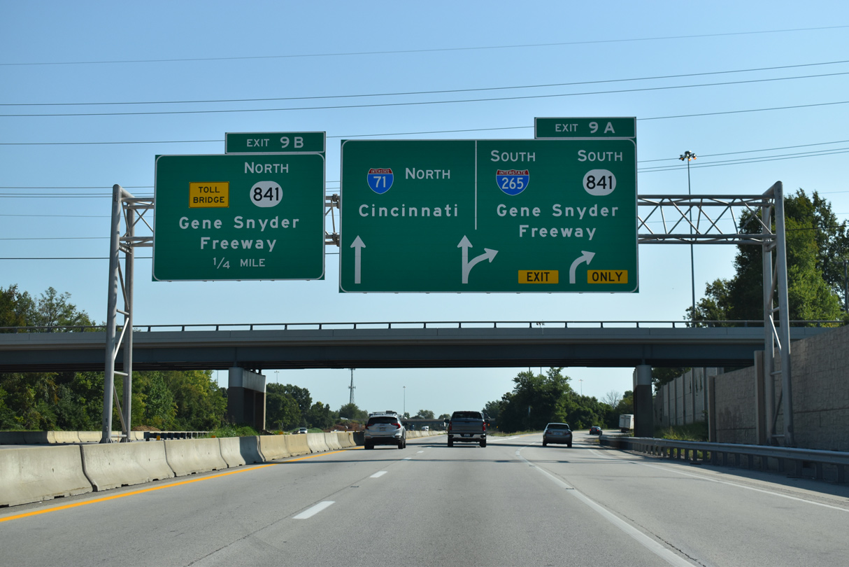
Interstate 71 weaves between the suburban neighborhoods of Hill and Dales, Spring Valley and Brownsboro Farm leading toward the Gene Snyder Freeway (I-265/KY 841). 09/08/20
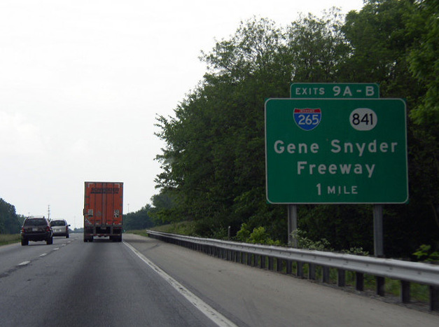
Past Views Gallery (Tap to Expand / Collapse Section)
South at
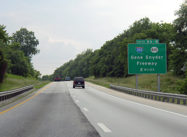
Two miles ahead of I-265 and KY 841 on I-71 south. Interstate 71 concludes ten miles beyond the Gene Snyder Freeway at the Abraham Lincoln Bridge (I-65) north to Jeffersonville, Indiana. Photo by Chris Patriarca (05/26/03).