Interstate 271 Ohio
Overview
Interstate 271 forms a bypass for regional traffic to the east of Cleveland through Summit and Cuyahoga Counties. The freeway connects with I-71 near Medina and I-90 near the shore of Lake Erie. The northern half of I-271, from Macdeonia to Wiloughby Hills, navigates through an array of cities and villages. This includes a dual freeway configuration northward from I-480N at Warrensville Heights.
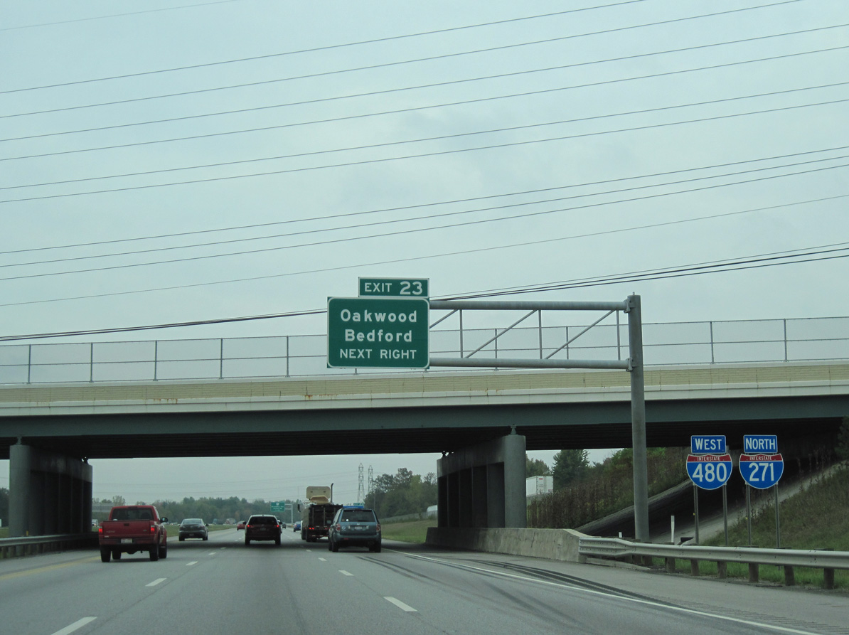
South through the city of Bedford Heights and the community of Oakwood, I-271 combines with I-480 along a four mile overlap. The concurrency represents just one of three pairs of overlapped branch routes within the Interstate Highway System. The others are both in North Carolina; I-785 and I-840 at Greensboro and I-587 and I-795 at Wilson.
The southern portion of Interstate 271 through Summit and Medina Counties remains mostly rural. This includes a stretch through Cuyahoga Valley National Park. A set of rest areas line both roadways in Richfield Township as well.
Mileage by State
| Ohio | 46.06 mi |
Data Sources
June 18, 2025 Ohio Department of Transportation (ODOT) Straight Line Diagrams. https://www.transportation.ohio.gov/programs/technical-services/tech-services-card-catalog/sld
History
Early plans for the Cleveland Interstate system outlined Interstate 271 following a corridor along Ohio State Route 17 east between I-71 in southwest Cleveland and Maple Heights. This was later changed to I-80N and then I-480. A subsequent proposal combined I-271 with Interstate 290, which was an urban freeway slated to run west from Beachwood across Shaker Heights to I-77 (Willow Freeway) in Cleveland.
North End  ‐ Willoughby Hills, OH
 North at
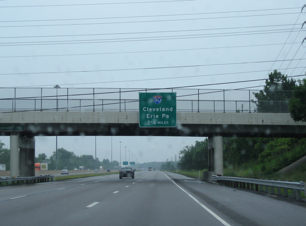
Heading 2.25 miles north to Interstate 90, I-271 runs between Highland Heights and Mayfield. 06/14/10
West at
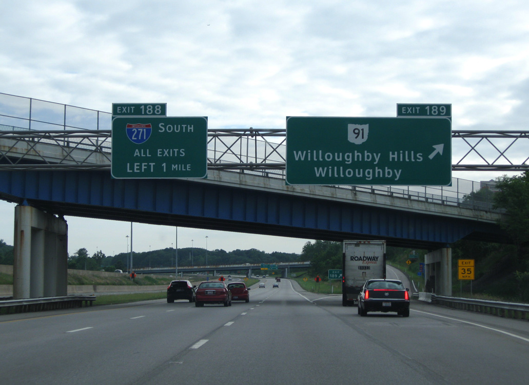
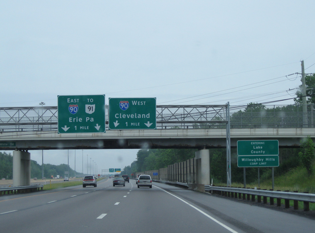
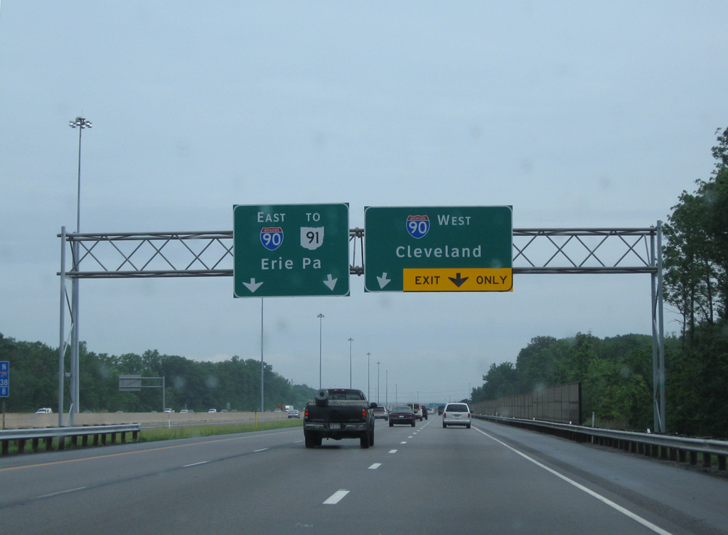
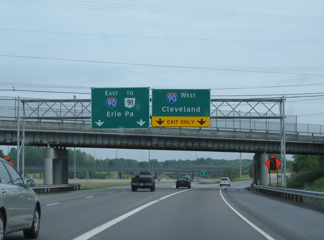
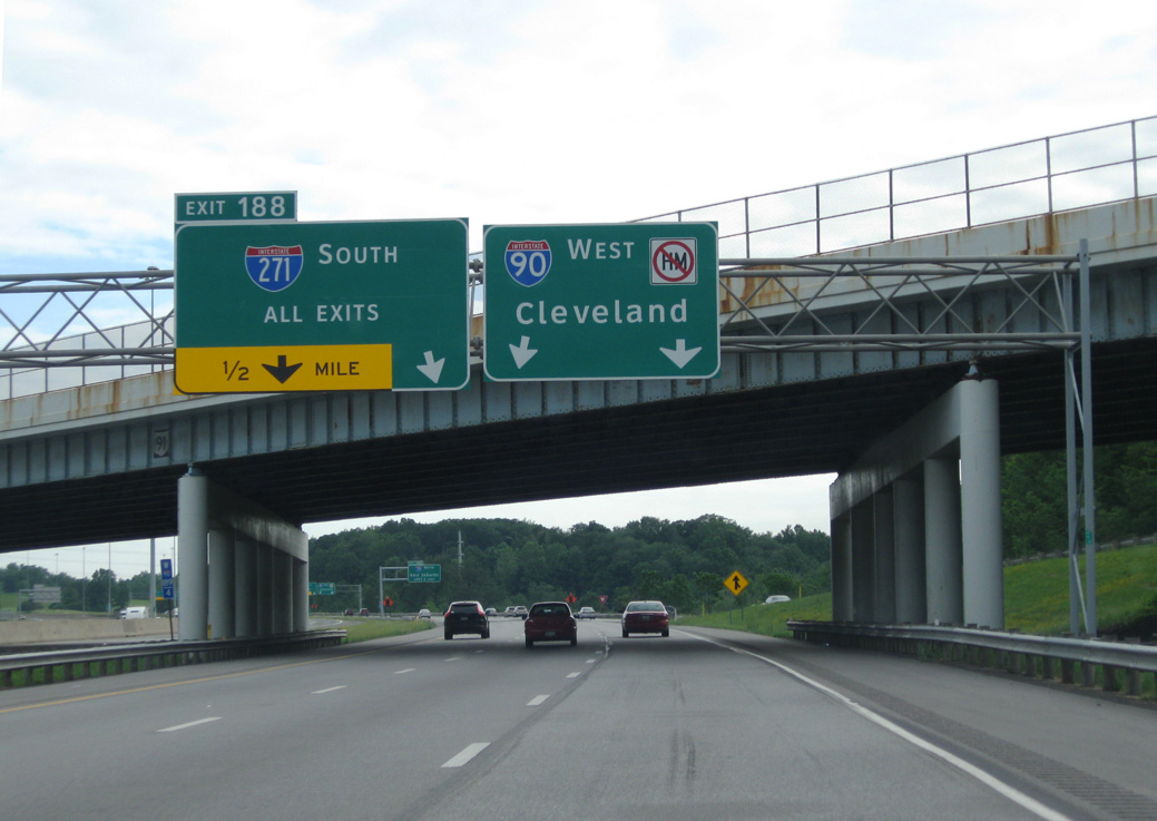
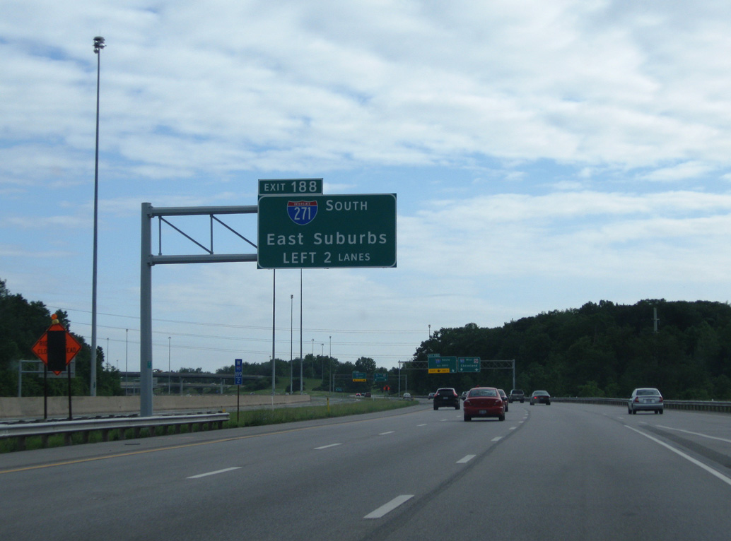
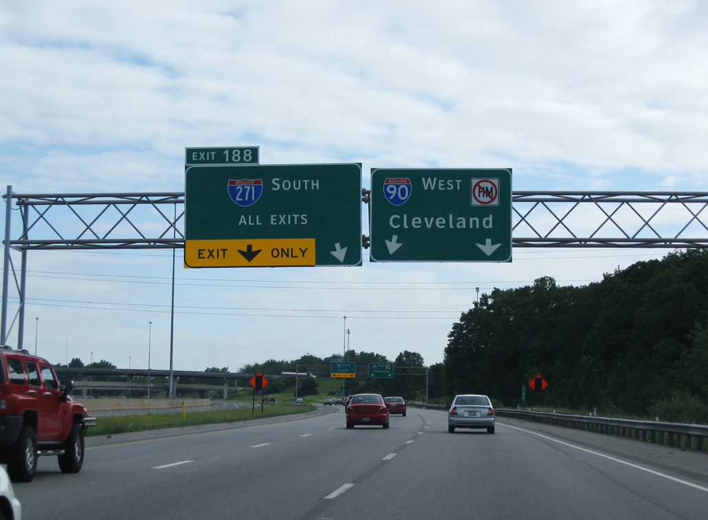
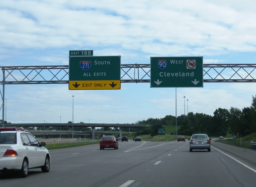
A parclo interchange links I-90 with SR 91 (Som Center Road) in north Willoughby Hills, one mile from Left Exit 188 for Interstate 271 south. 06/14/10
East at
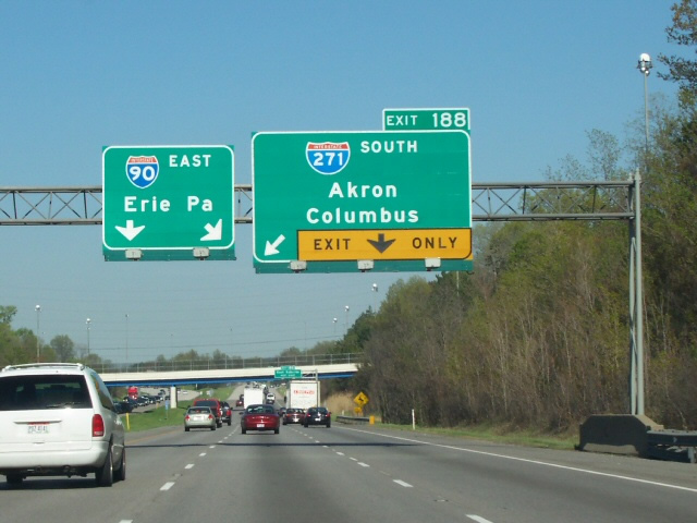
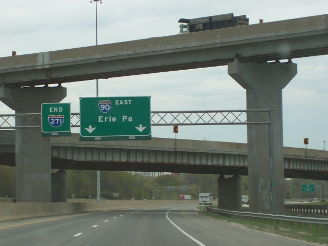
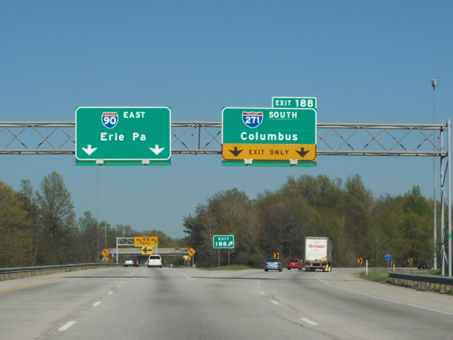
I-90 shifts southeast from Euclid around Wickliffe to the directional T interchange (Exit 188) with Interstate 271 south in Willoughby Hills. Photo by Tim Kubat (04/06).
North End – Past Views
Past Views Gallery (Tap to Expand / Collapse Section)
West at
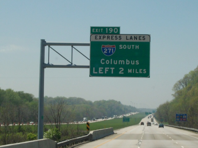
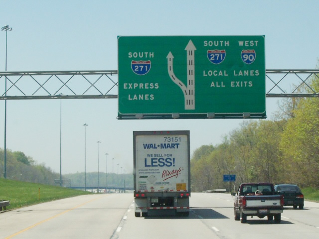
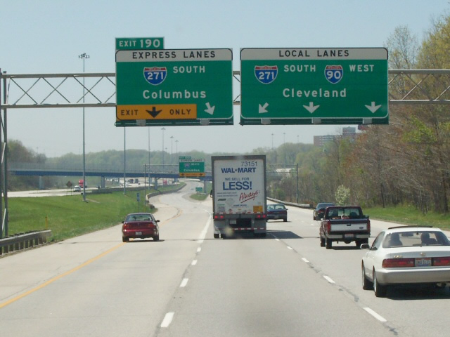
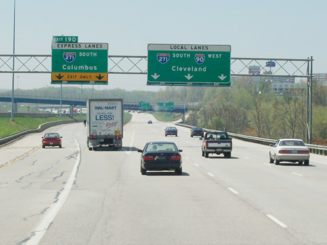
Replaced button copy overhead for I-271 on I-90 westbound. Photo by Tim Kubat (05/06).
South End  ‐ Medina Township, OH
South at
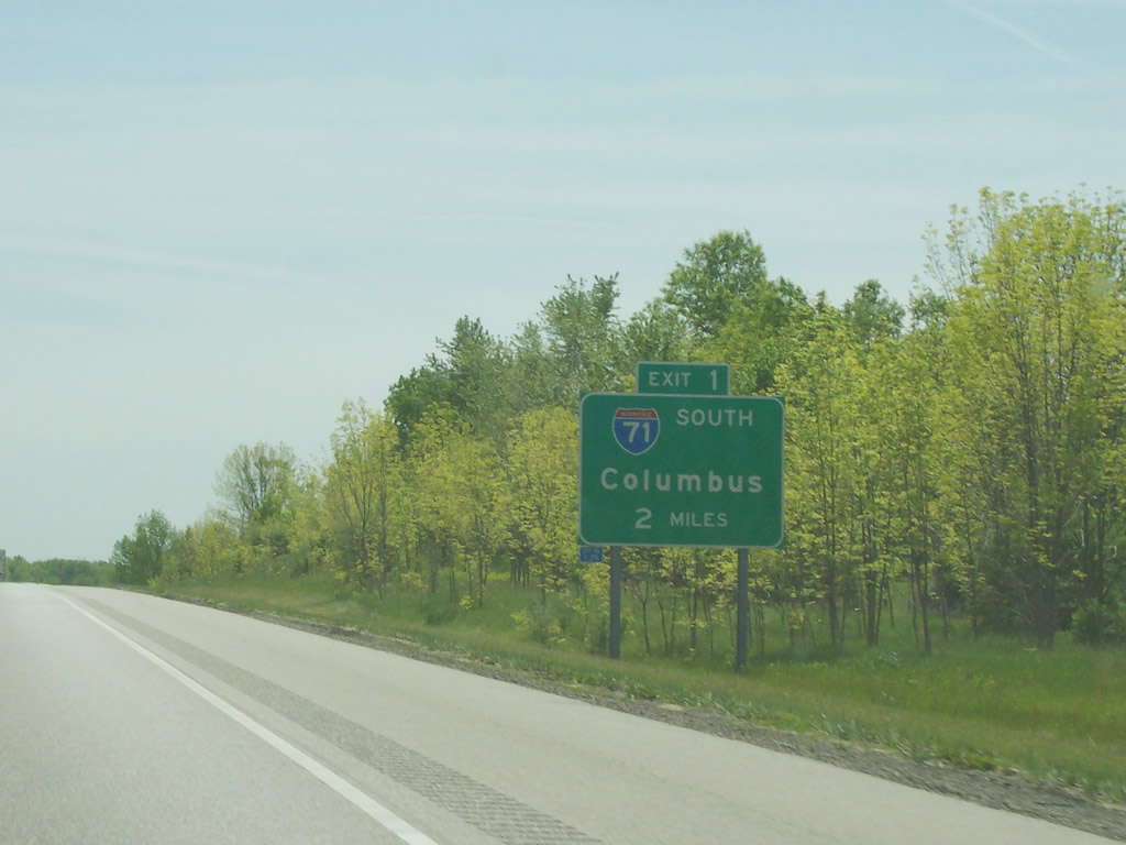
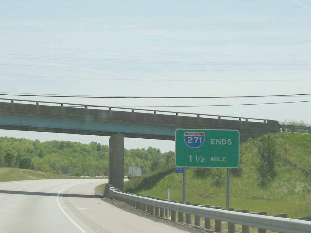
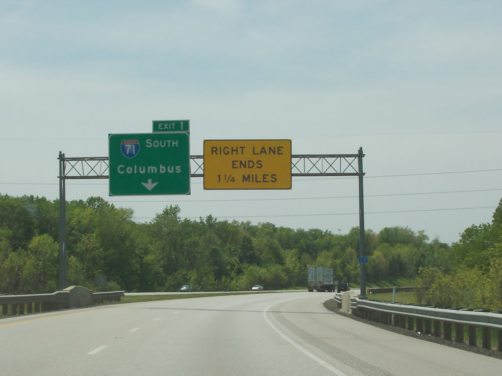
Interstate 271 curves southwest beyond Remsen Corners to a wye interchange (Exit 1) with I-71 southbound. Photo by Tim Kubat (05/06).
North at
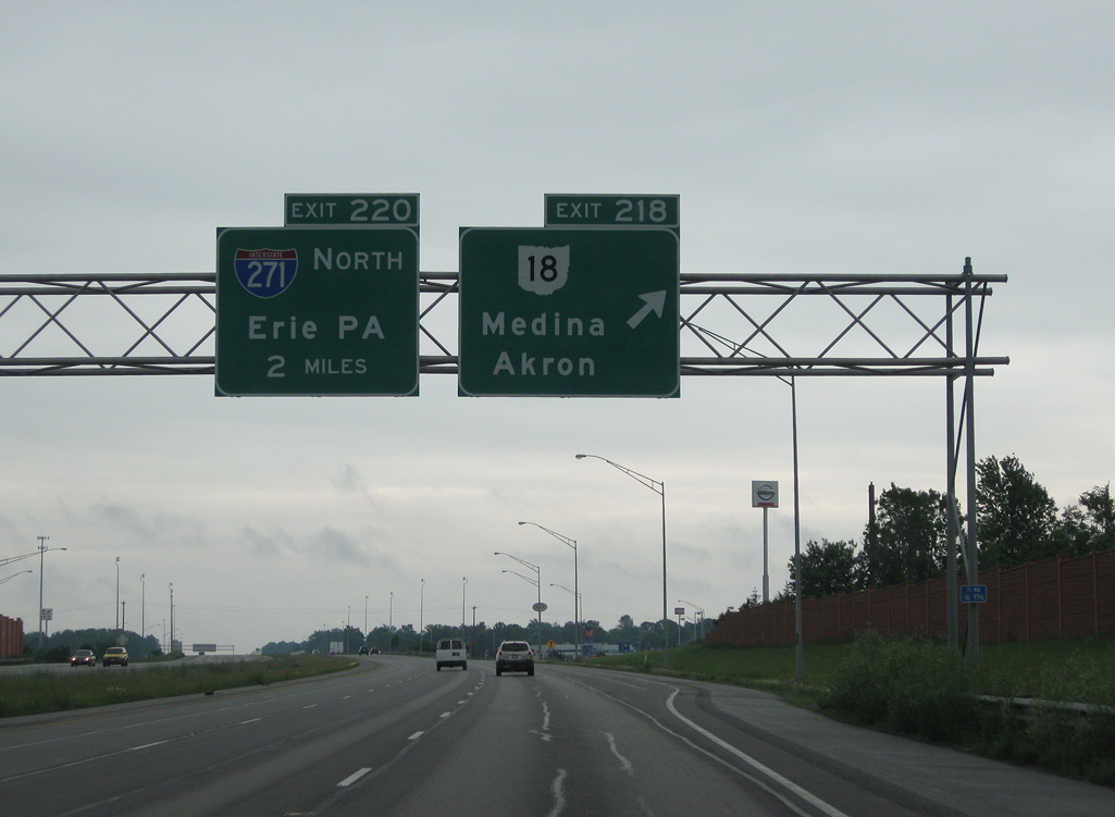
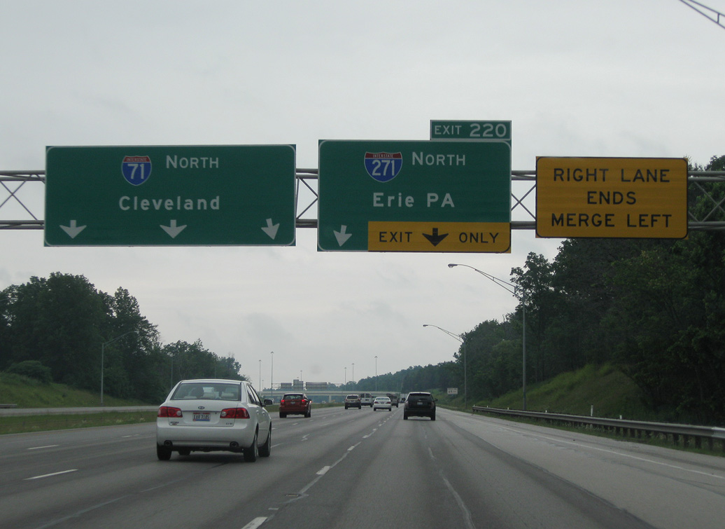
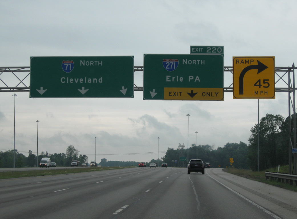
Exit 218 departs I-71 north for SR 18 (Medina Road) west to Downtown Medina and east to Montrose. Exit 220 follows in two miles for Interstate 271 to the eastern suburbs of Cleveland. 06/14/10