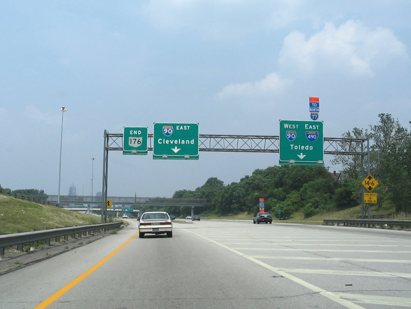
Interstate 490 Ohio
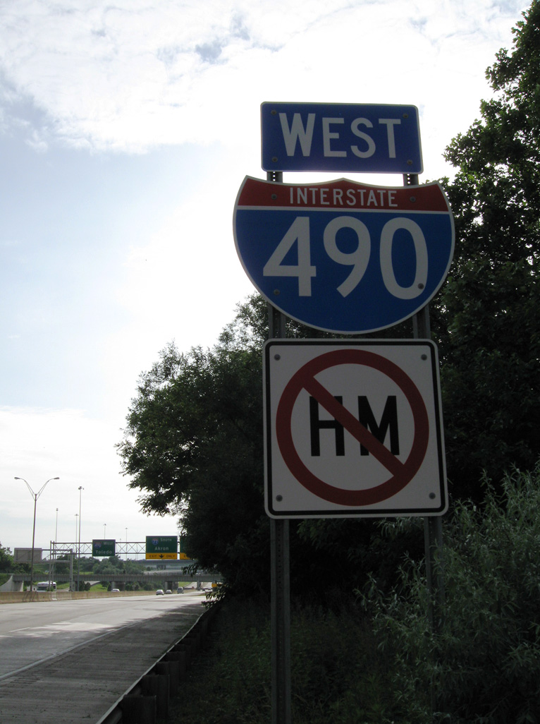
Overview
Interstate 490 in Ohio connects I-90 (Northwest Freeway) and I-71 (Medina Freeway) with I-77 (Willow Freeway) between the Tremont and North Broadway neighborhoods in central Cleveland. The urban freeway represents a short portion of the original Clark Freeway proposed east from the Innerbelt (I-90) to the Outer Belt East Freeway (I-271) at Beachwood and Pepper Pike.
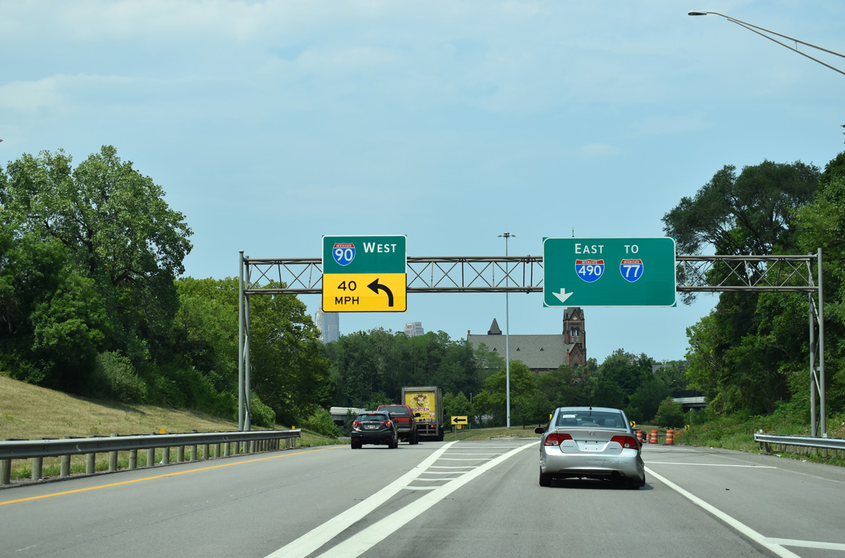
The Innerbelt Project along Interstate 90 included work to rebuild the I-71 overpasses at the four level interchange with I-490 and several changes to ramps at the north end I-77 at Downtown (ODOT, n.d.a). Ramps from I-90 east to I-77 south and from I-77 north to I-90 west closed by April 11, 2011, with Interstate 490 designated as the new connection for those movements (ODOT, 2011).
Mileage by State
| Ohio | 2.57 mi |
Data Sources
June 18, 2025 Ohio Department of Transportation (ODOT) Straight Line Diagrams. https://www.transportation.ohio.gov/programs/technical-services/tech-services-card-catalog/sld
History
The I-490 connector was first envisioned as part of an urban loop taking Interstate 80S from the Parma Freeway (planned I-90) east along the Clark Freeway to the Bedford Freeway across central Cleveland. I-290 was proposed to extend the Clark Freeway east from the Bedford Freeway at the Kinsman neighborhood to the Outer Belt East Freeway at Beachwood, where it would overlap with I-271 north to I-90 in Lake County. Increasing community opposition throughout the 1960s led to several freeway cancellations, including all of the Clark Freeway east from North Broadway.
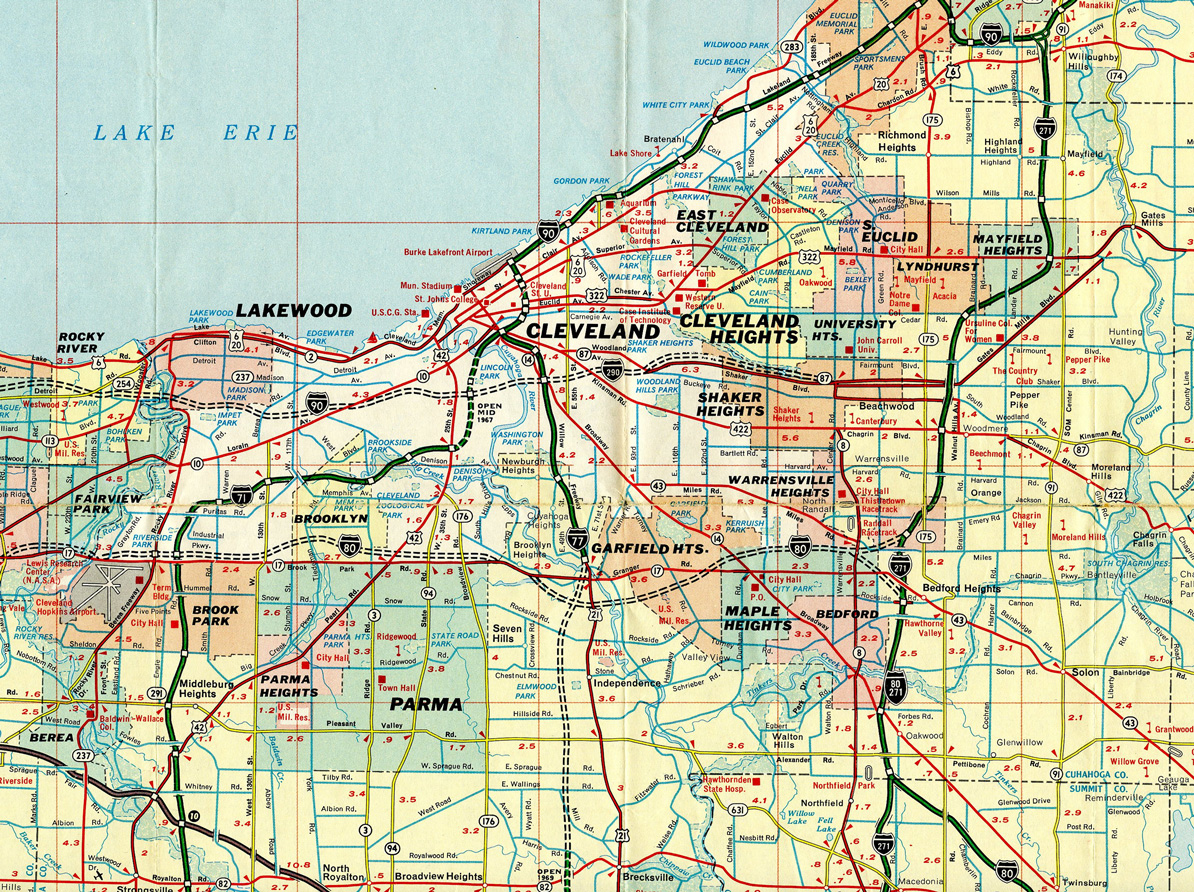
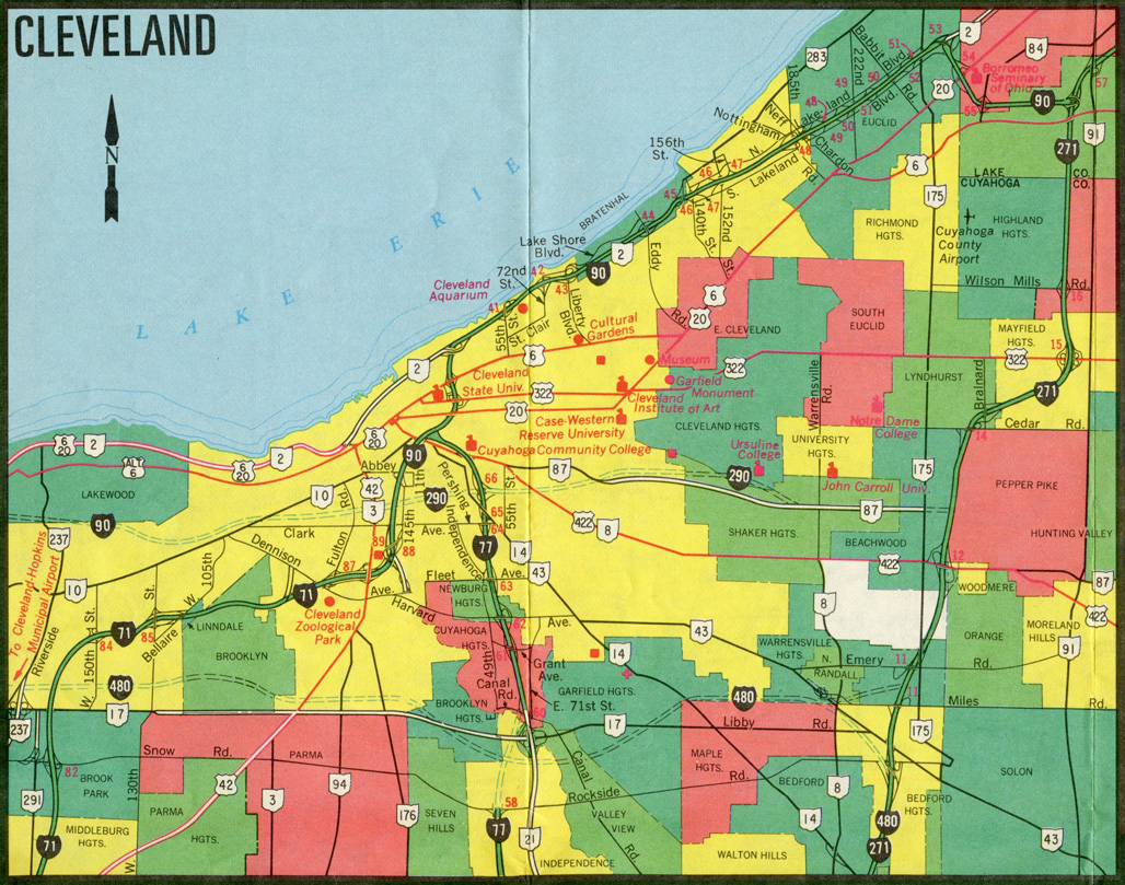
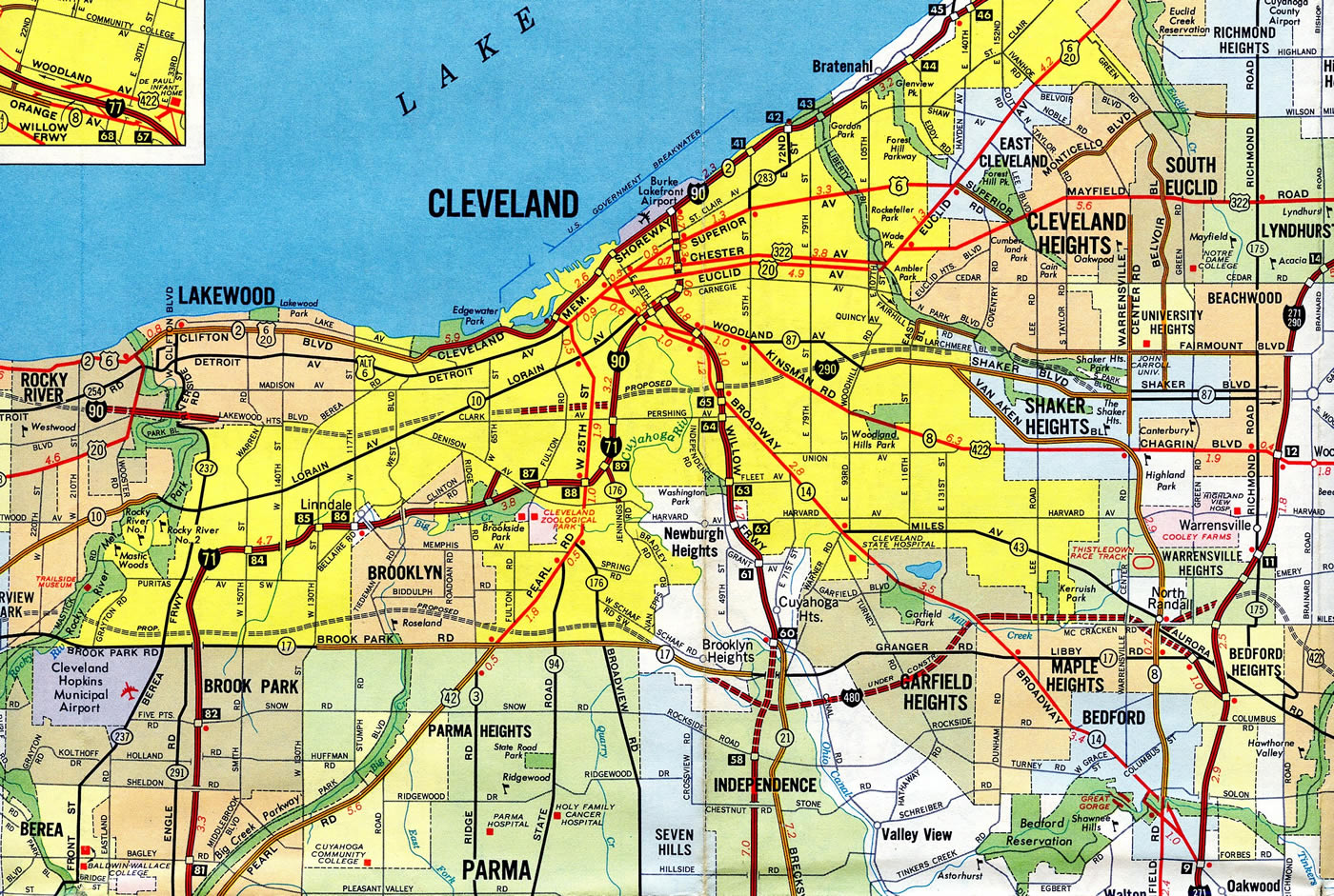
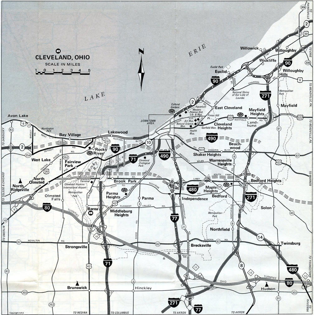
The redesignation of Interstate 290 to I-490 was approved by American Association of State Highway and Transportation Officials (AASHTO) on November 10, 1973. The change redefined the eastern terminus from I-271 and Shaker Heights to Interstate 480 at Maple Heights. The southeastern route to Maple Heights (Bedford Freeway) from E 55th Street was never built, with the exception of the trumpet interchange and access road between I-480 and Broadway Avenue at Exit 23.
Opportunity Corridor
Starting in Fall 2000, the Cleveland Innerbelt study conducted by the Ohio Department of Transportation (ODOT) included two alternatives involving new construction between Interstate 490 and the University Circle neighborhood in northeast Cleveland. One concept extended the freeway along railroad right of way northeast to Interstate 90 at E 133rd Street and the Forest Hills neighborhood. The second alternative outlined an at-grade boulevard between I-490 and E 105th Street along the same railroad corridor.
The freeway plan included interchanges at E 55th Street, Kinsman Road, Woodland Avenue, Stokes Boulevard, Euclid Avenue, Superior Avenue, St. Clair Avenue and E 133rd Street. The alternative was estimated to cost $1.5 billion and displace 165 residences. Community opposition from East Side neighborhoods ranged from activists, residents, Council President Frank Jackson and Cleveland Mayor Jane Campbell.
The boulevard concept would range from four to six lanes separated by a median with signalized intersections. Only 25 residences would be displaced. Costs were estimated at $160 million, with ten years of construction potentially starting by 2007 (ODOT, 2002). The boulevard was rebranded and incorporated into the Opportunity Corridor Study conducted in 2004 by a consultant team. The Opportunity Corridor Steering Committee was subsequently formed comprising ODOT, the city of Cleveland, Cuyahoga County and several other groups, residents and business owners. The committee identified a Recommended Preferred Alternative in July 2011 (ODOT, n.d.b).
Eventually incorporated in the Opportunity Corridor Project, a $331 million public-private partnership with the goal of redeveloping more than 300 acres of underutilized land and brown fields, the envisioned road would comprise a divided 35 mile per hour boulevard with traffic lights with pedestrian and bicycle paths. Project details were presented at an October 2013 Public Hearing. The Federal Highway Administration (FHWA) approved the Environmental Impact Statement (EIS) for the corridor and issued a Record of Decision on May 1, 2014 (ODOT, n.d.b).
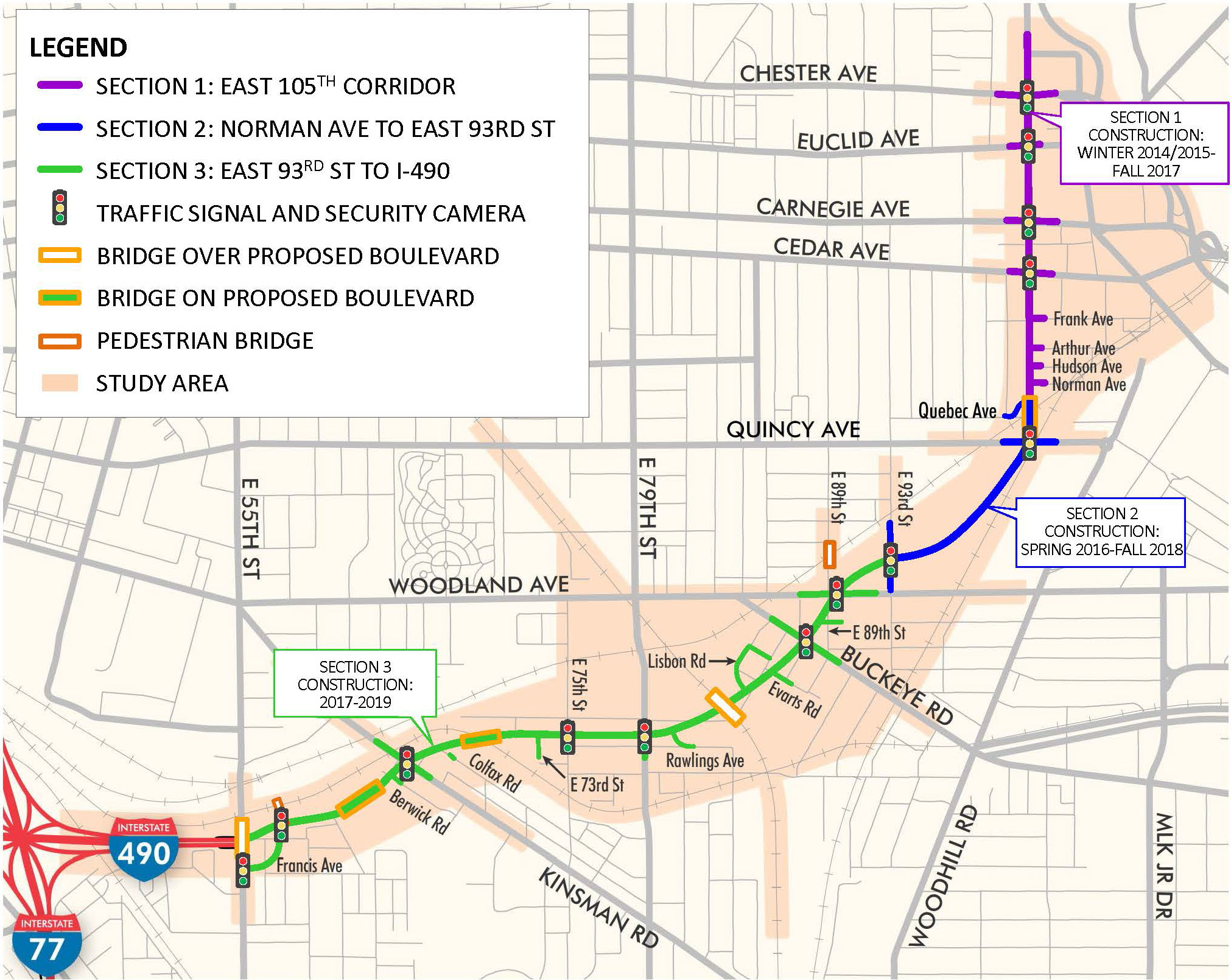
The Opportunity Corridor extends east three miles from E 55th Street to University Circle and E 105th Street. Construction was divided into three sections:
- Section 1 - Upgrades to E 105th Street from Quebec Avenue to north of U.S. 322 (Chester Avenue). Construction started in Winter 2015 and finished in Fall 2017.
- Section 2 - New roadway from E 93rd Street to Quebec Avenue. Construction started in Spring 2016 and was completed in Fall 2018.
- Section 3 - New roadway from Interstate 490 and E 55th Street to E 93rd Street. Estimated to begin in 2017, construction eventually commenced in Fall 2018. Major work concluded in November 2021 (ODOT, 2019).
A ribbon cutting ceremony for the Opportunity Corridor took place on November 3, 2021. The boulevard opened to traffic on November 12, 2021. Landscaping and work on final punch list items continued to June 2022 (ODOT, 2022).
East End 
 ‐ Opportunity Corridor – Cleveland, OH
 East at
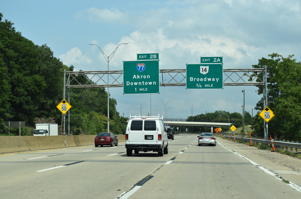
A loop ramp connects W 7th Street and the Tremont neighborhood with I-490 east, one mile ahead of Interstate 77. 07/23/24
North at
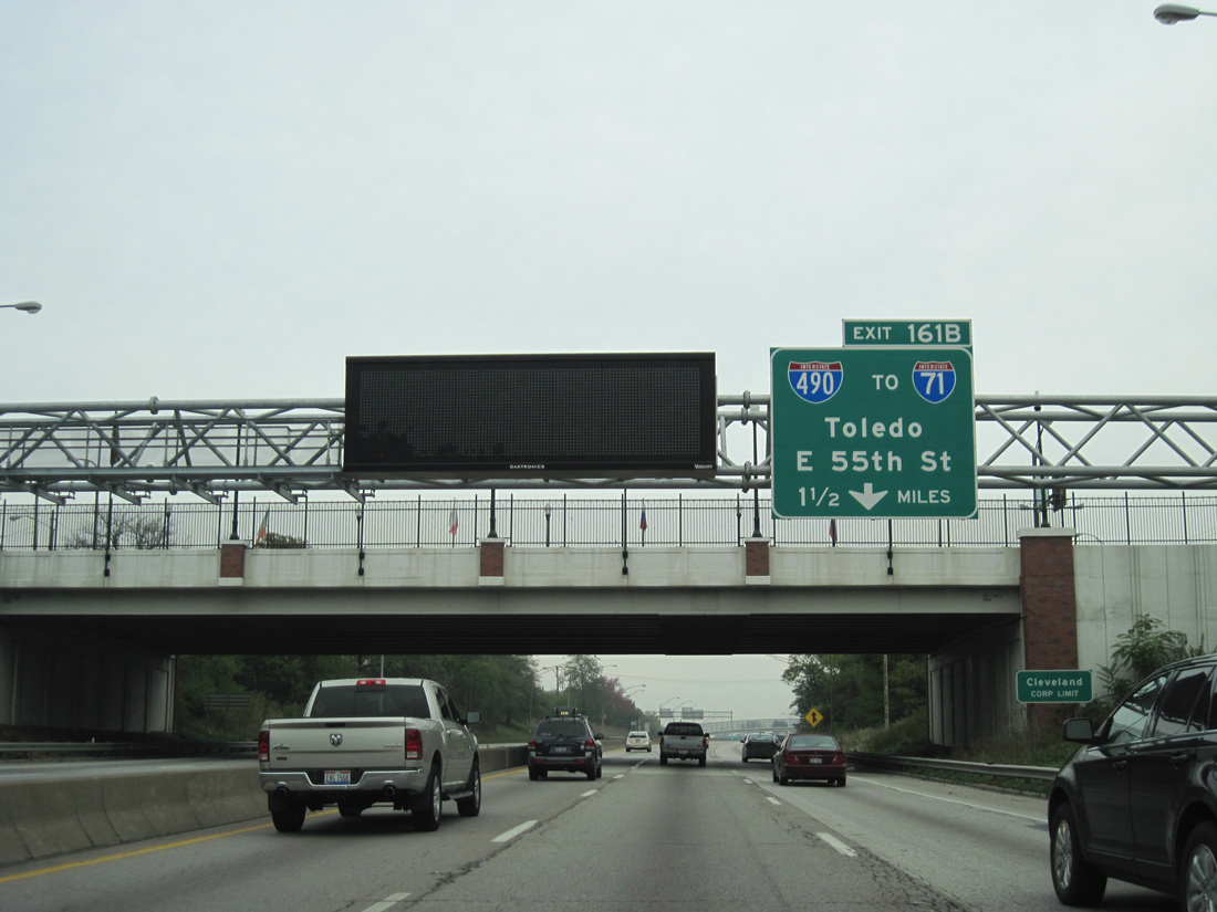
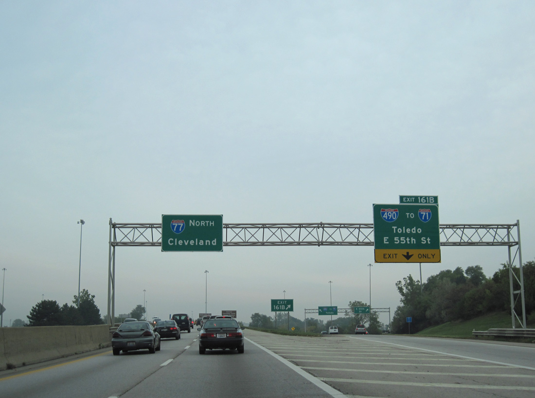
Interstate 77 northbound enters the Cleveland city limits from Newburgh Heights, 1.25 miles south of Exit 161 B for I-490 west and E 55th Street. 09/30/10
South at
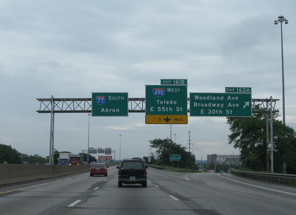
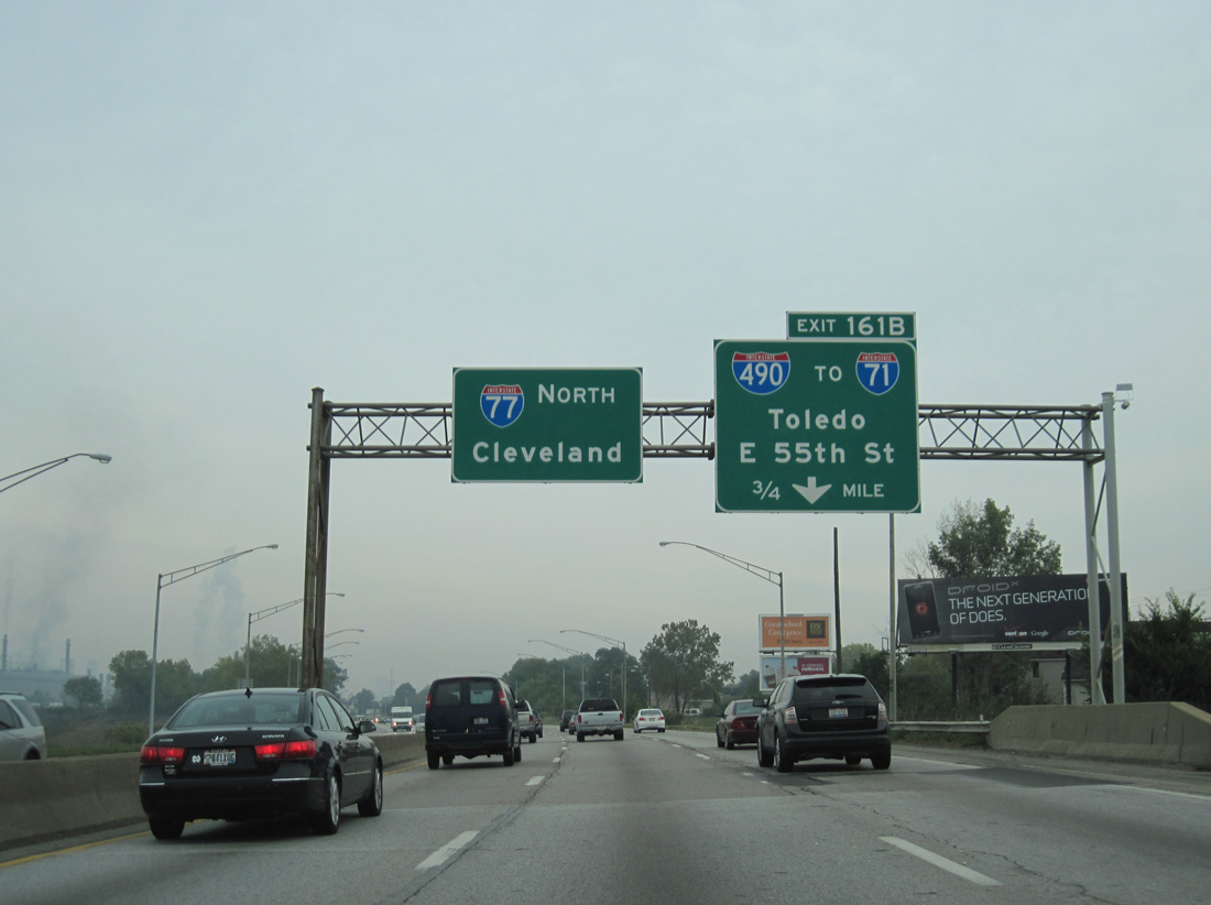
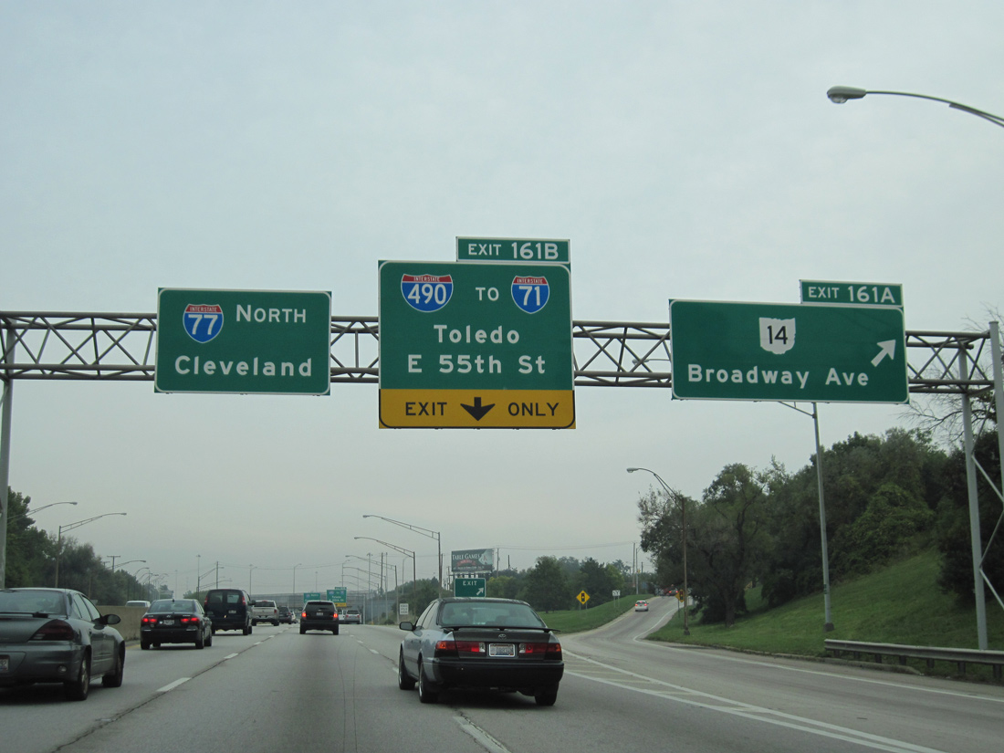
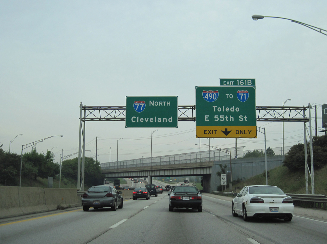
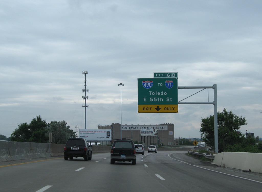
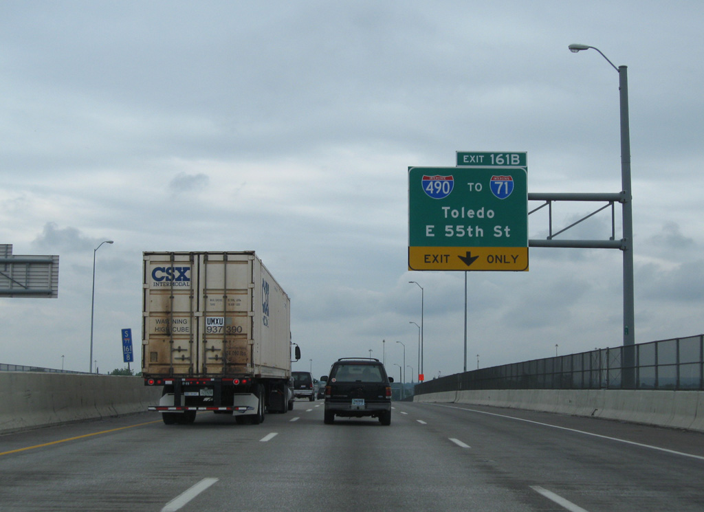
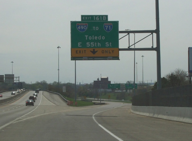
I-77 initially travels east alongside U.S. 422 and Woodland Avenue before curving south along a viaduct leading to the four level interchange (Exit 161 B) with Interstate 490. 06/14/10
Opportunity Corridor West at

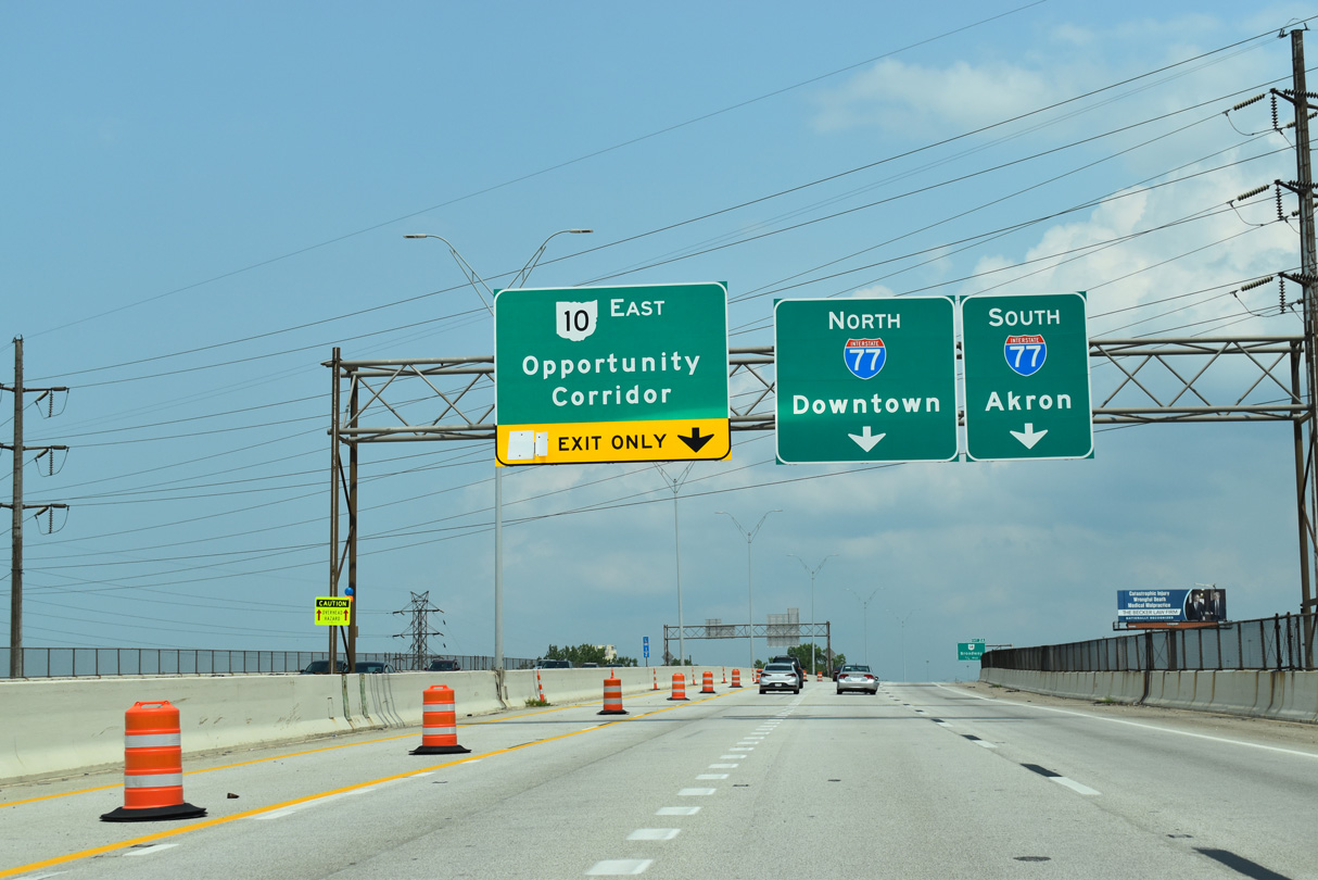
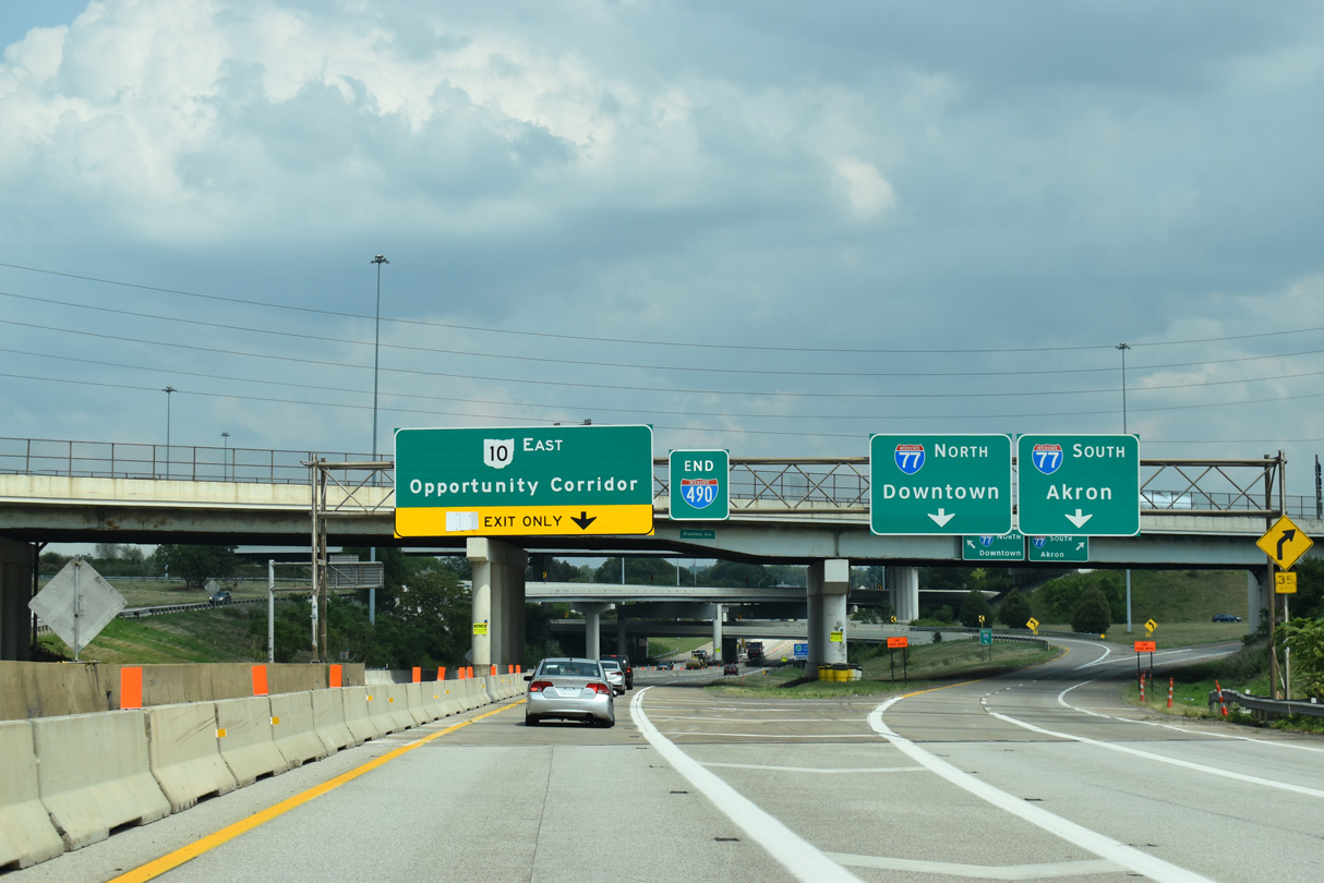
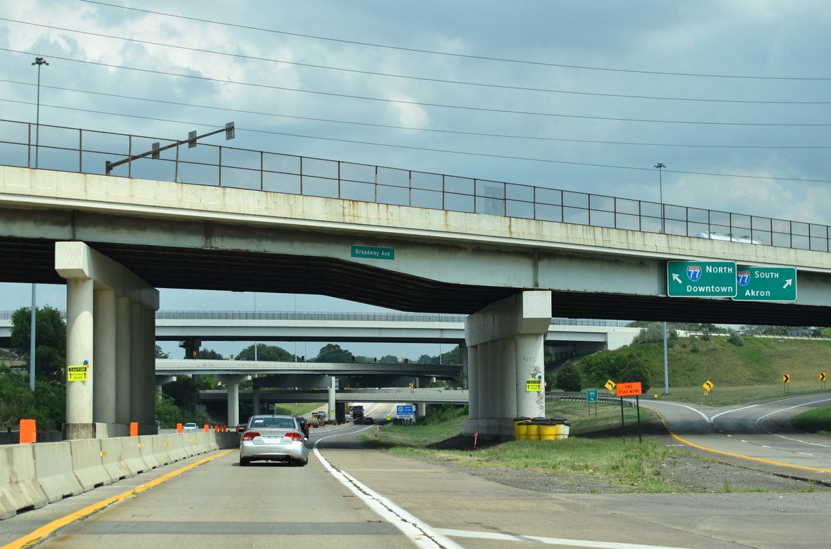
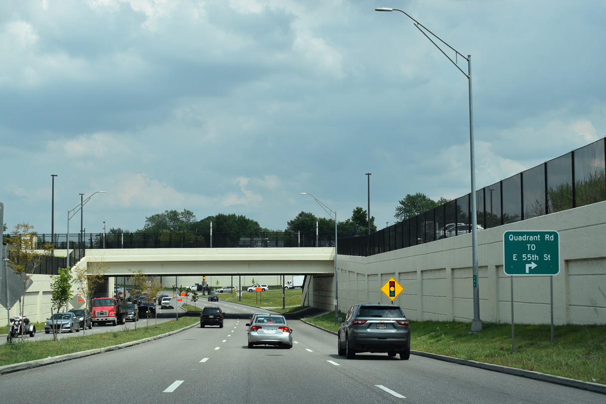
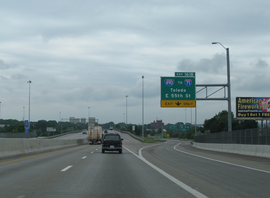
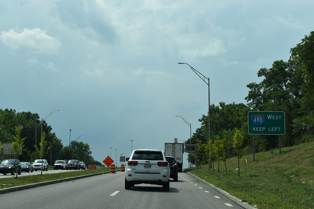
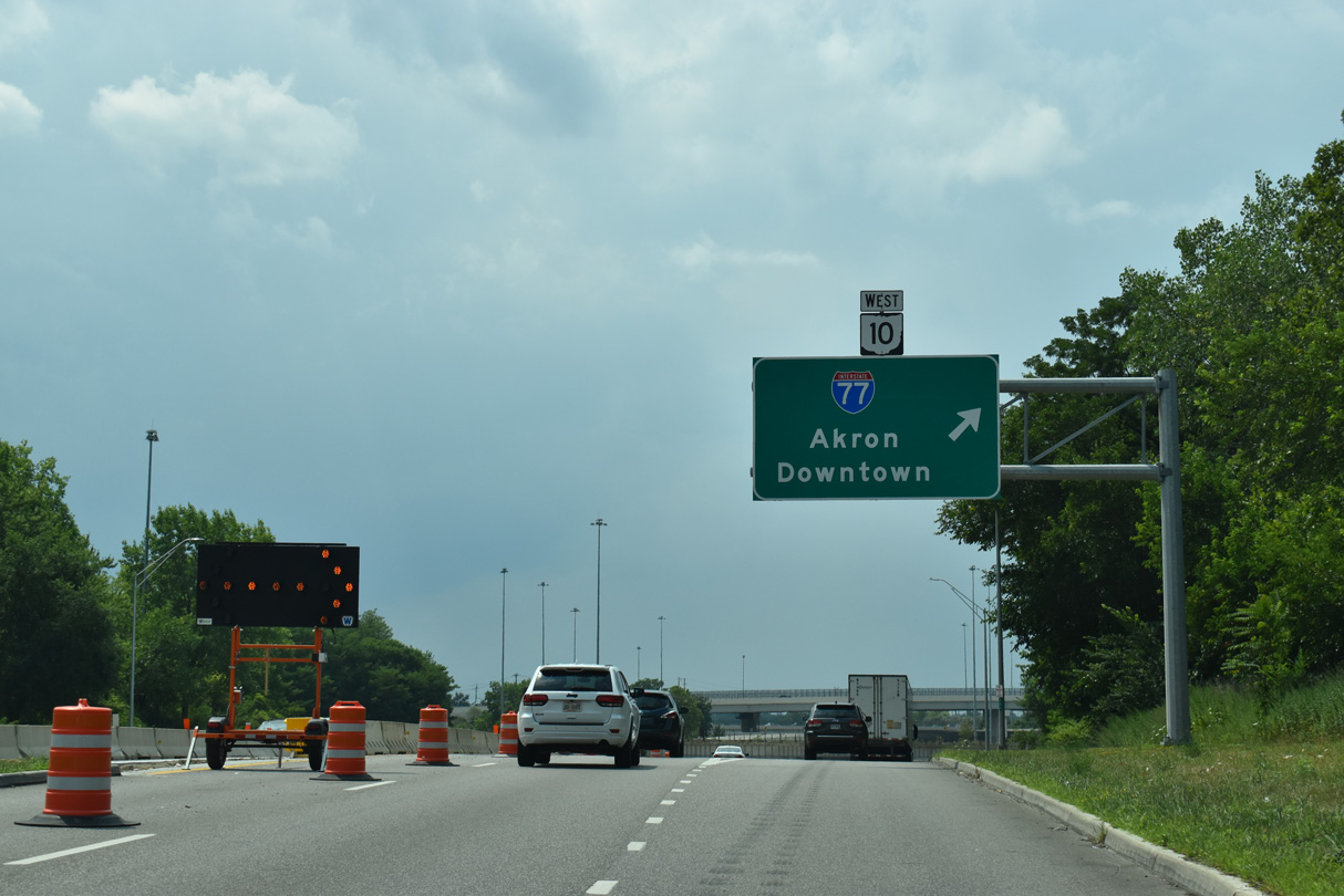
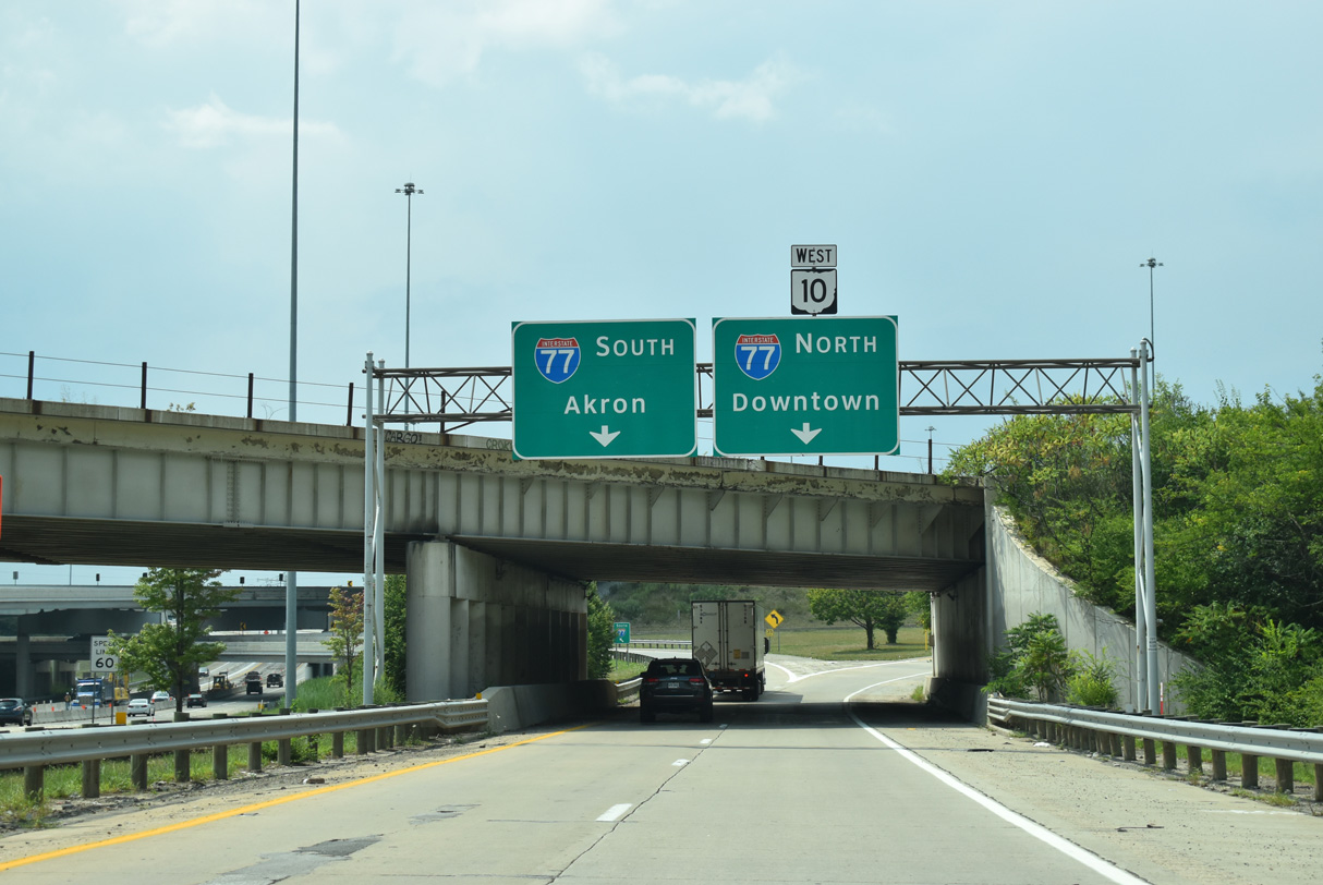
SR 10 (Opportunity Corridor) west becomes part of Interstate 490 beyond the grade separated intersection with E 55th Street. 07/23/24
East End – Past Views
Past Views Gallery (Tap to Expand / Collapse Section)
at
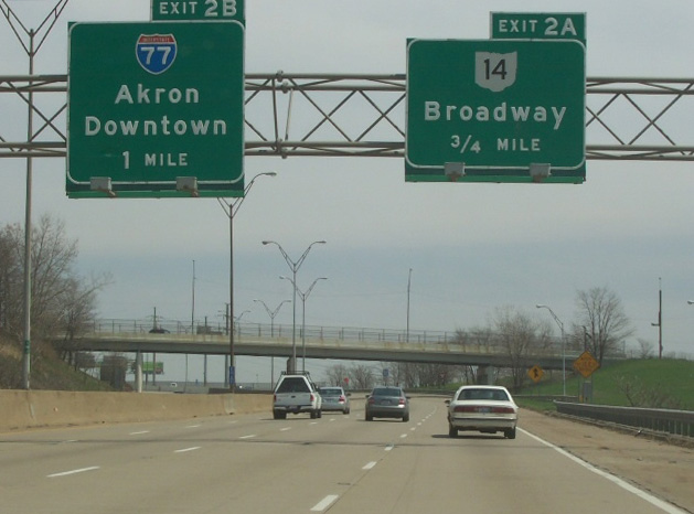
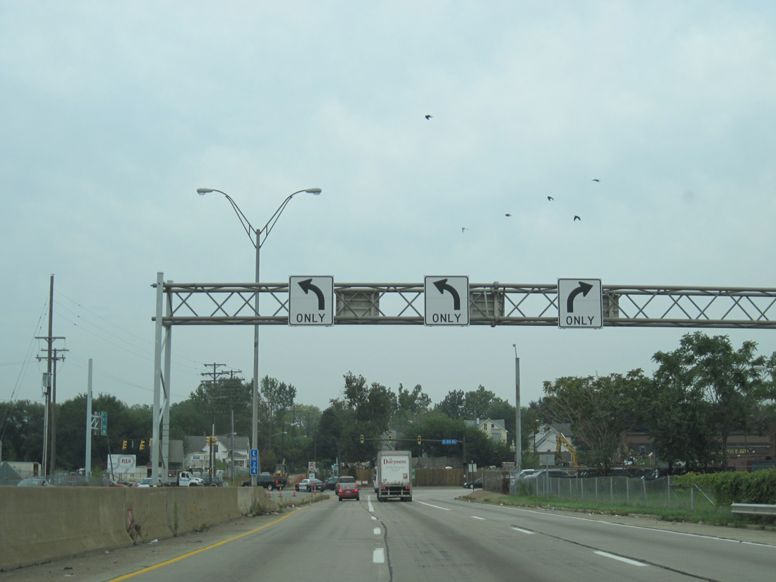
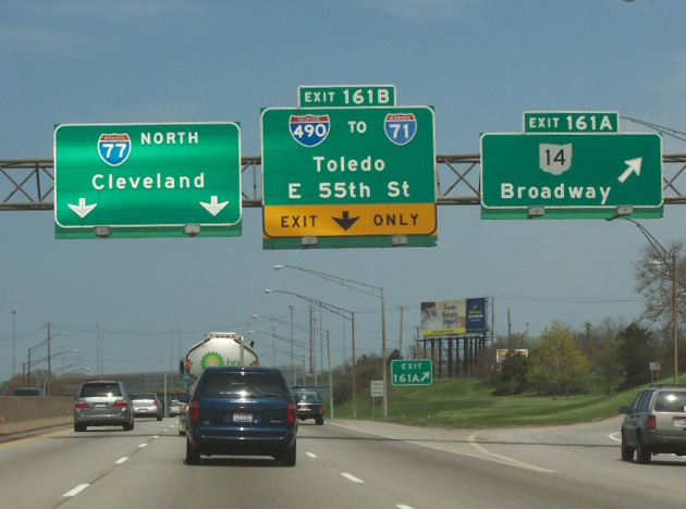
Replaced button copy overheads on I-490 east at SR 14 / Exit 2 A. Photo by Tim Kubat (04/06).
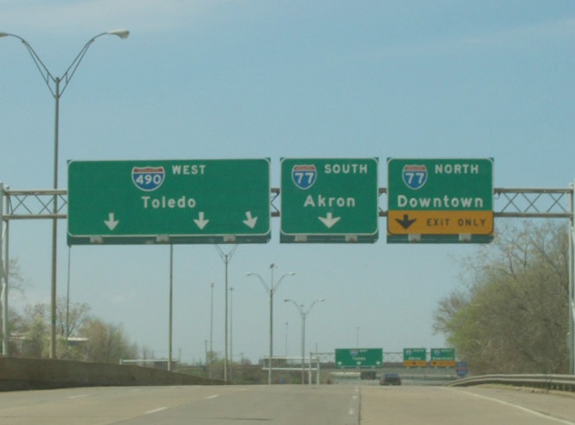
North at
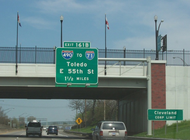
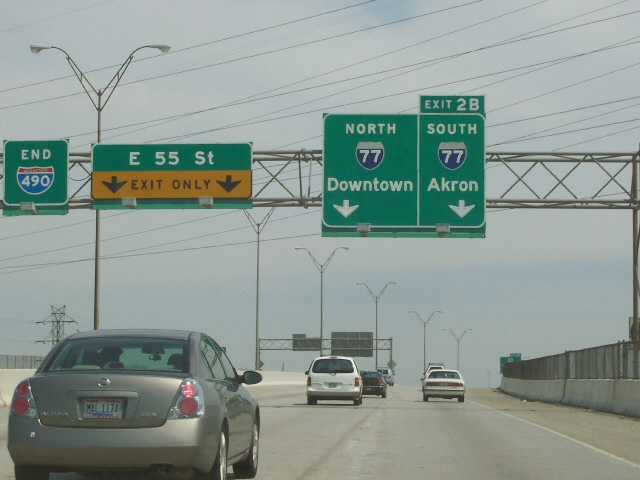
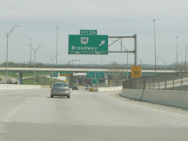
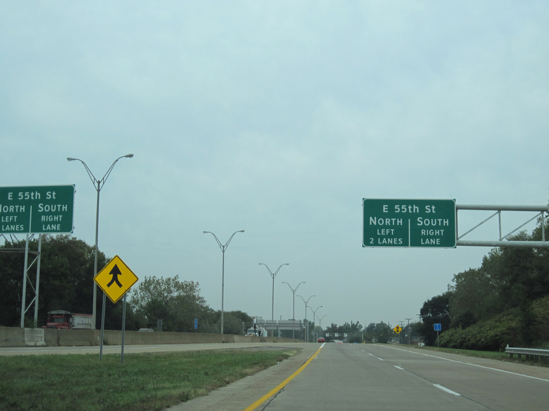
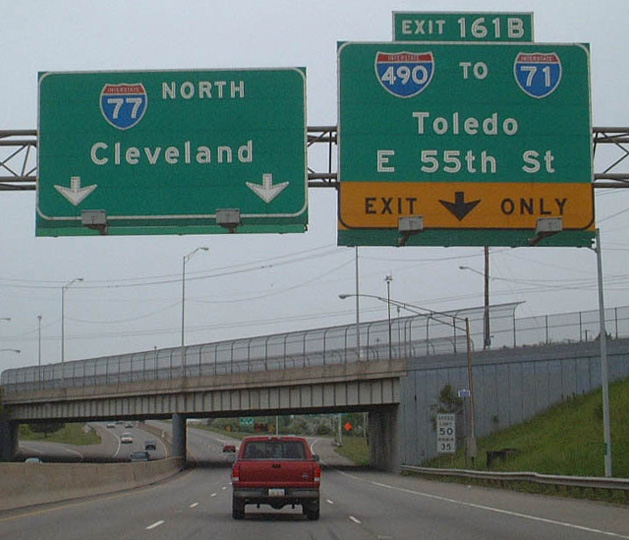
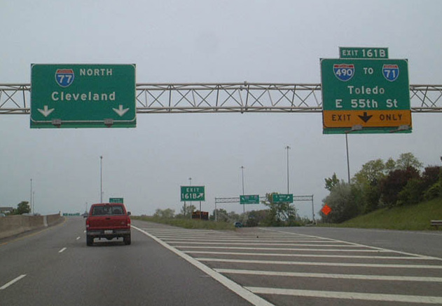
This overhead assembly at the Fleet Avenue overpass in South Broadway, Cleveland was replaced by 2007, then moved to a new sign bridge with a variable message board by 2010. Photo by Tim Kubat (04/06).
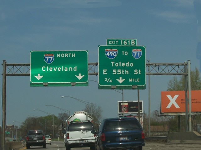
South at
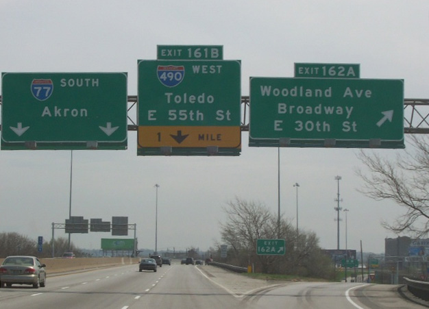
Button copy guide signs for Interstate 490 on I-77 south were eventually replaced in kind. Photo by Tim Kubat (04/06).
West End 
 ‐ Cleveland, OH
West at
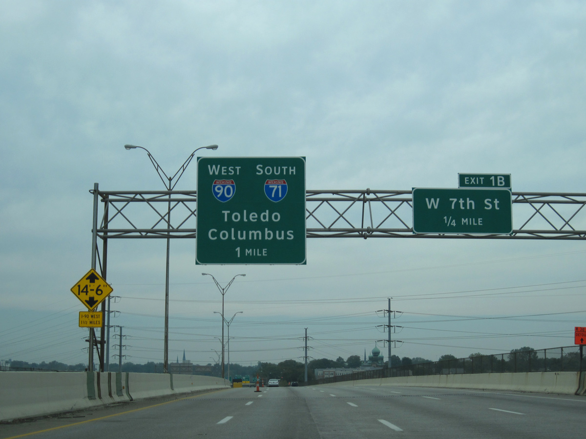
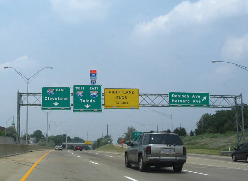
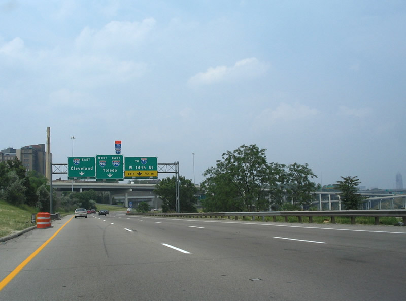
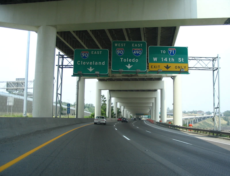
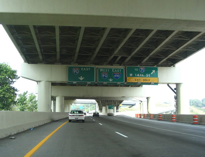
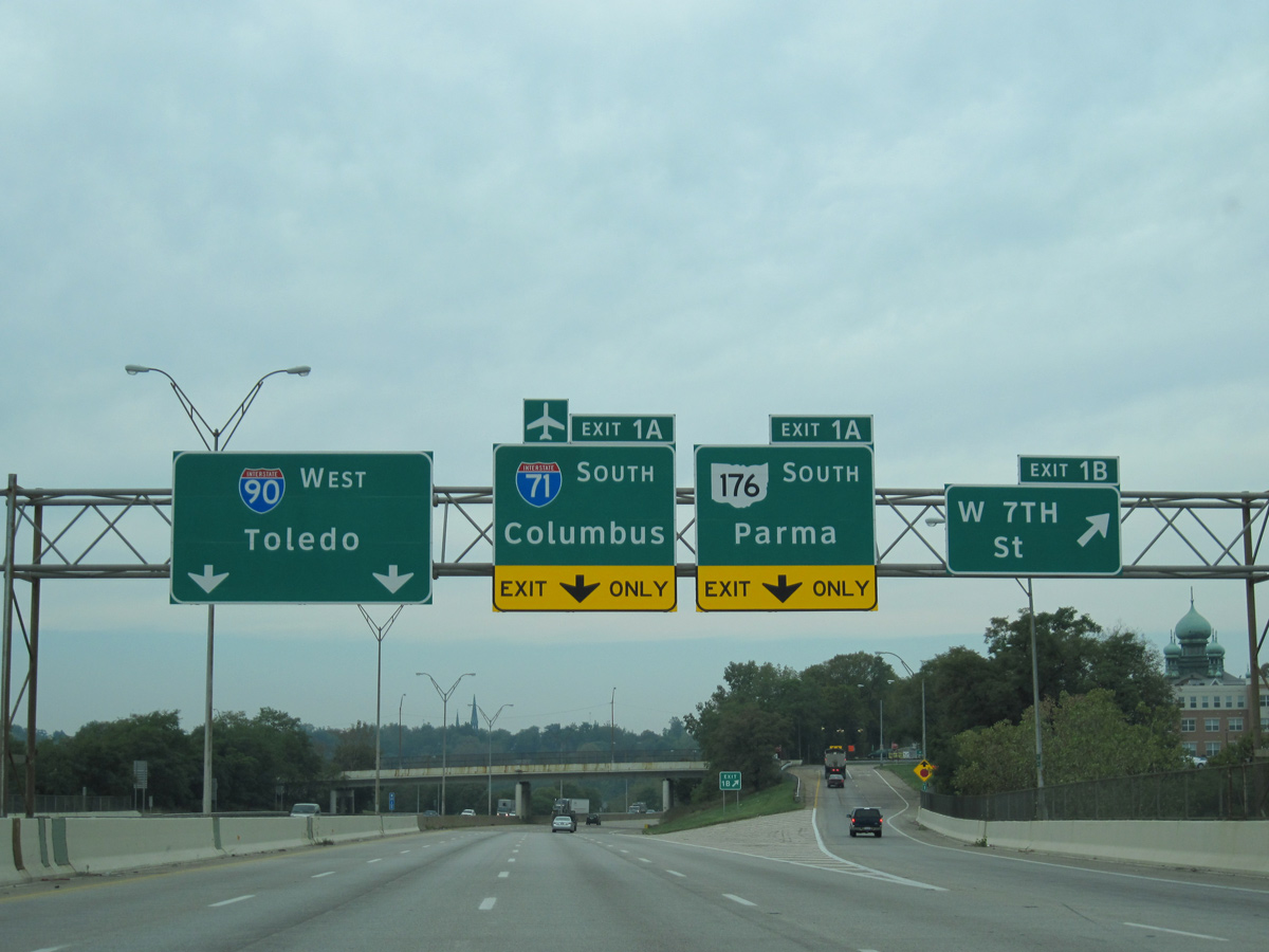
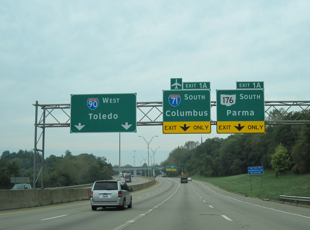
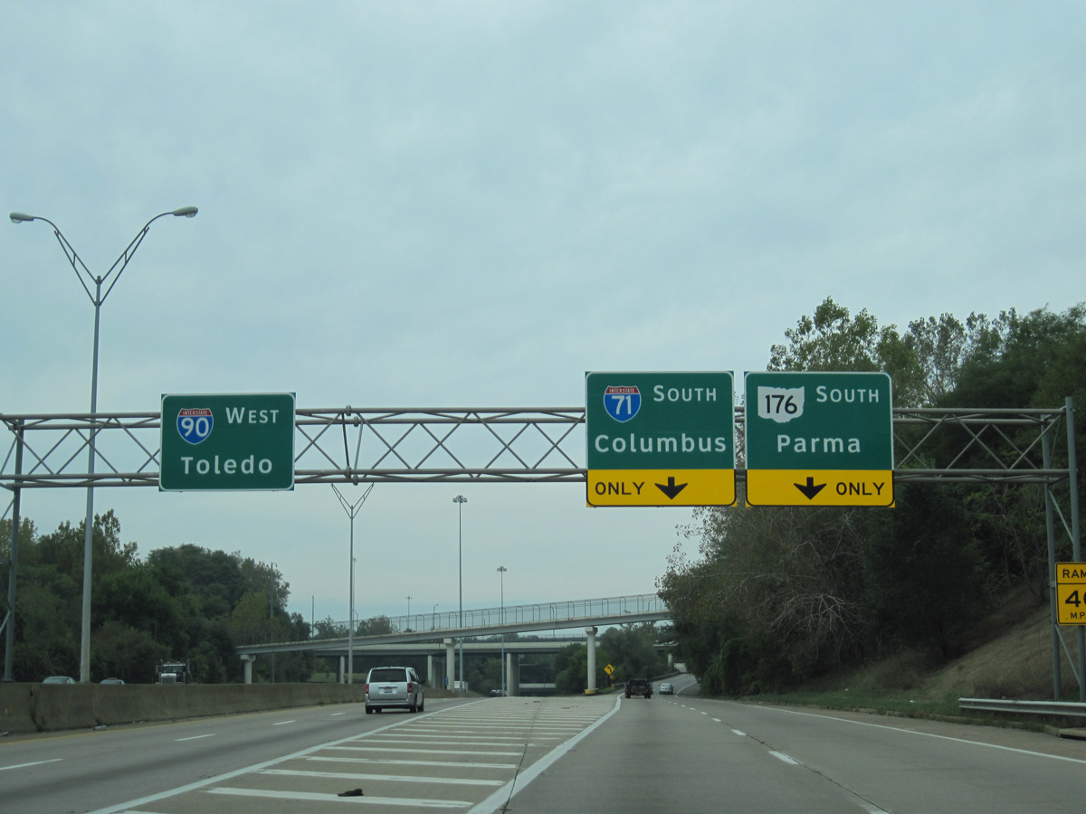
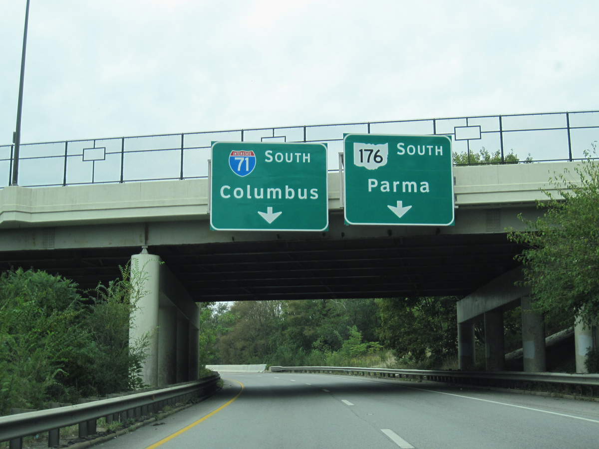
Ramps from I-77 (Willow Freeway) and Broadway Avenue (old U.S. 21) merge onto Interstate 490 at the Cuyahoga River bridge. The freeway proceeds west to Tremont and I-71 south (Exit 1 A) and I-90 west. 09/30/10
North at
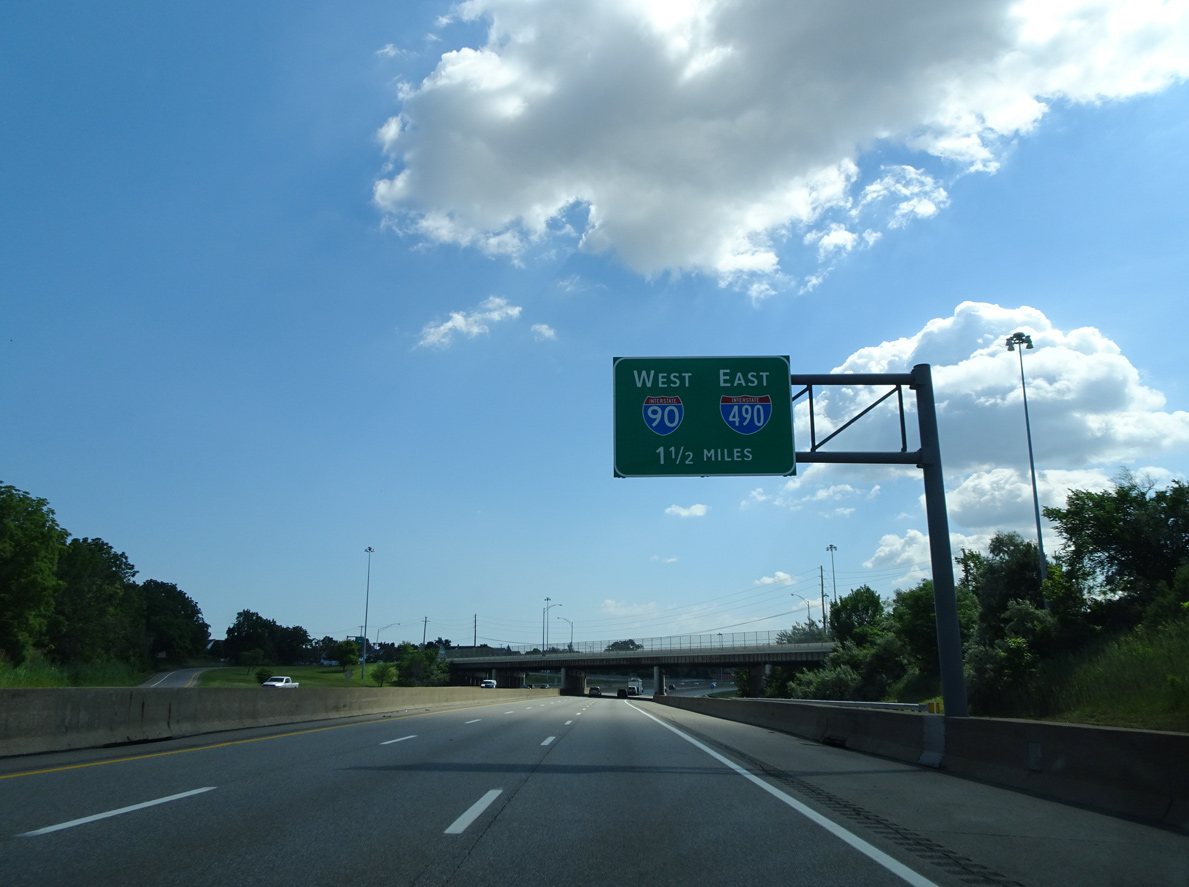
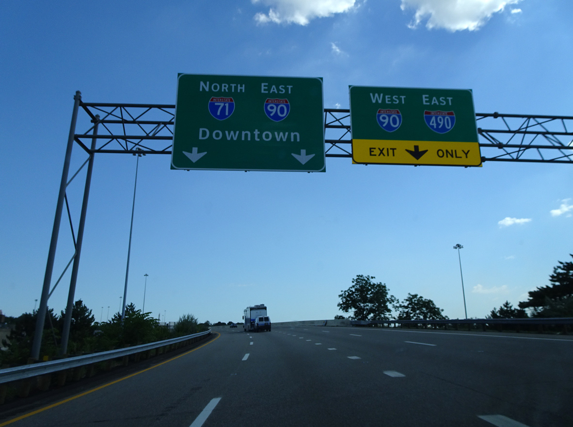
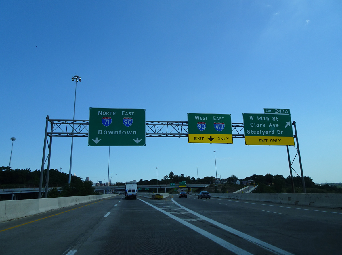
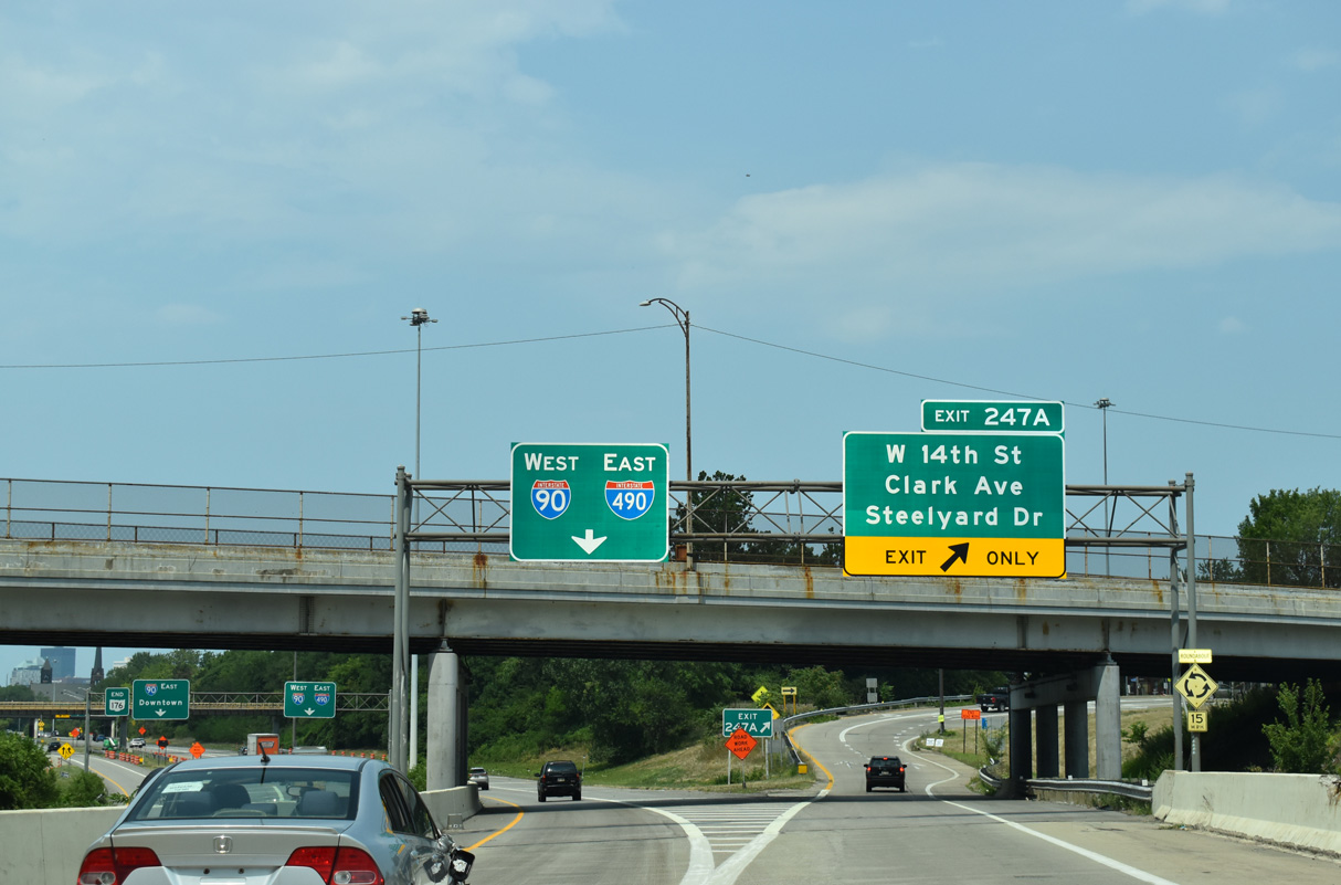
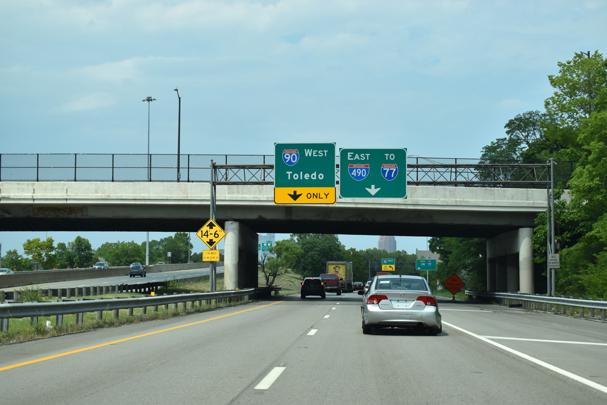
Interstate 71 (Medina Freeway) leads east though the Brooklyn Centre neighborhood in Cleveland to a collector distributor roadway (Exit 247 B) for I-90 and I-490. Photo by Eric Stuve (07/02/17).
East at
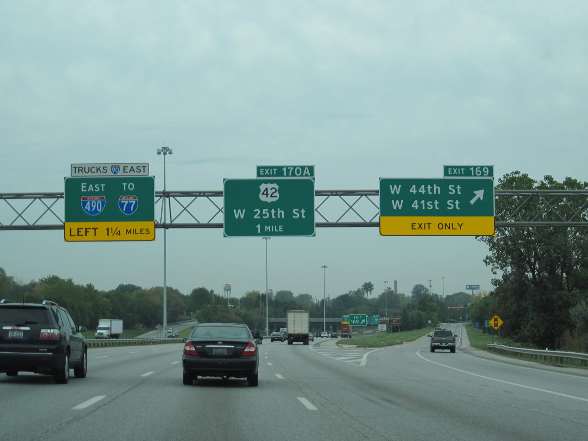
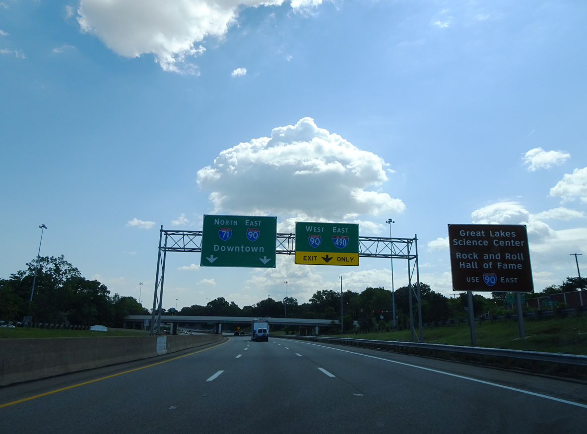
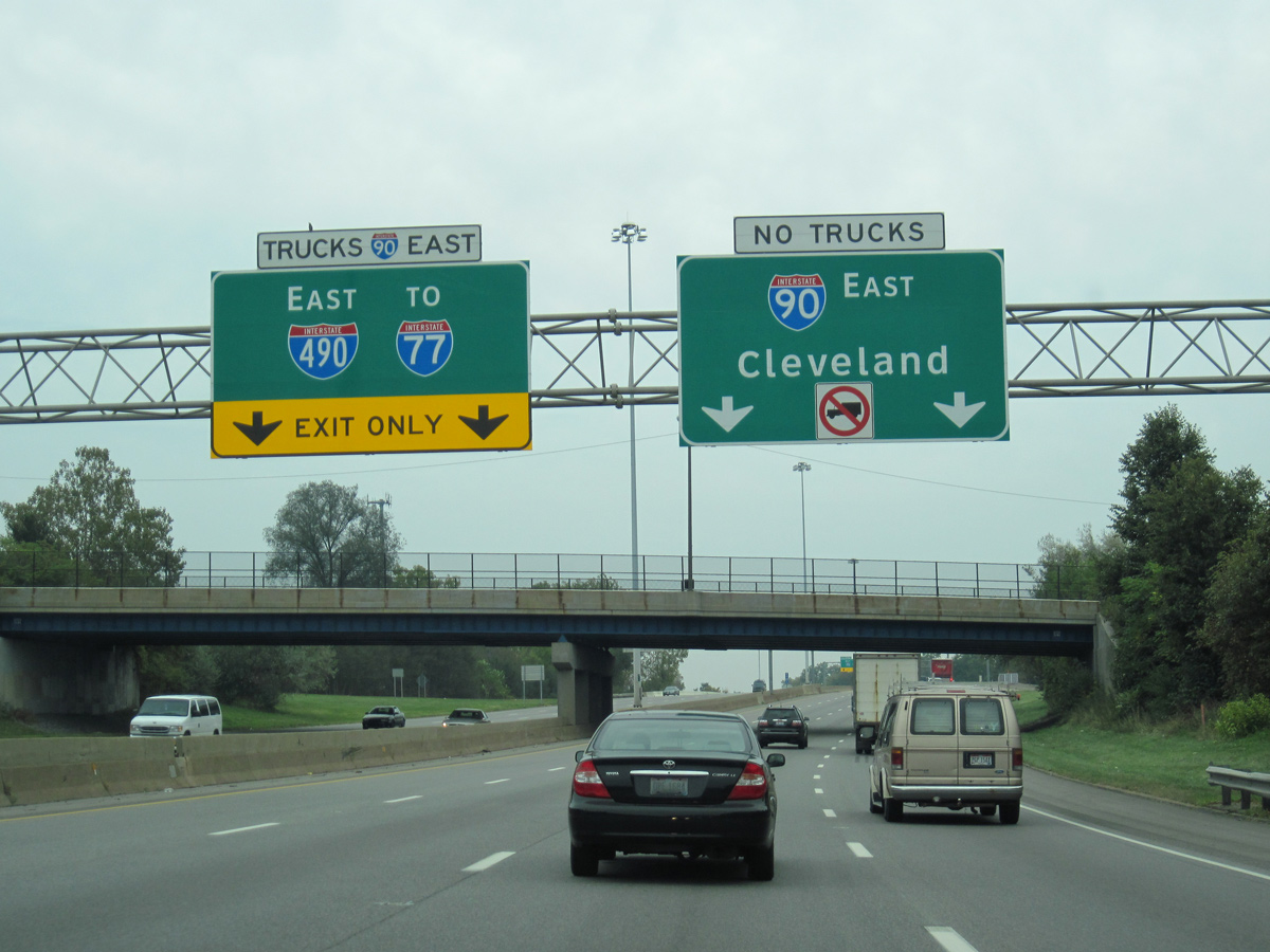
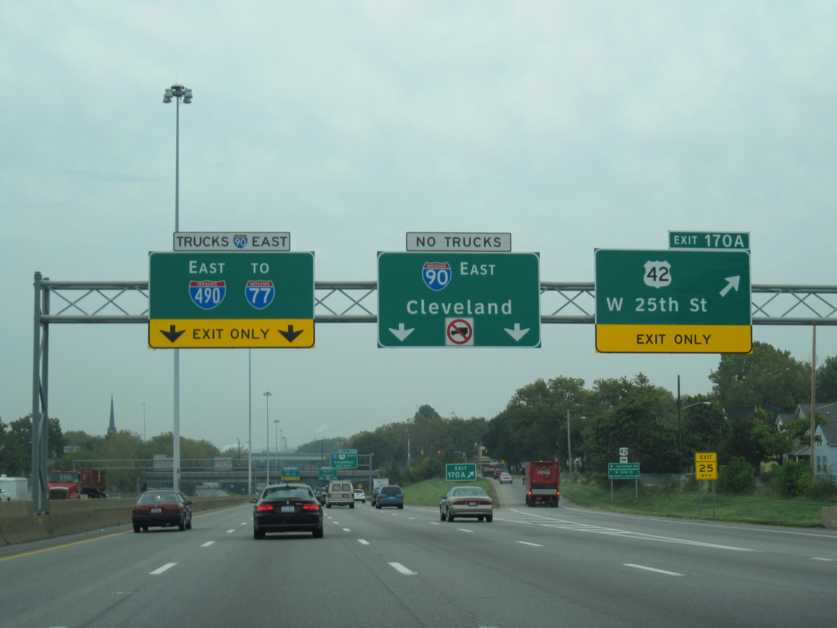
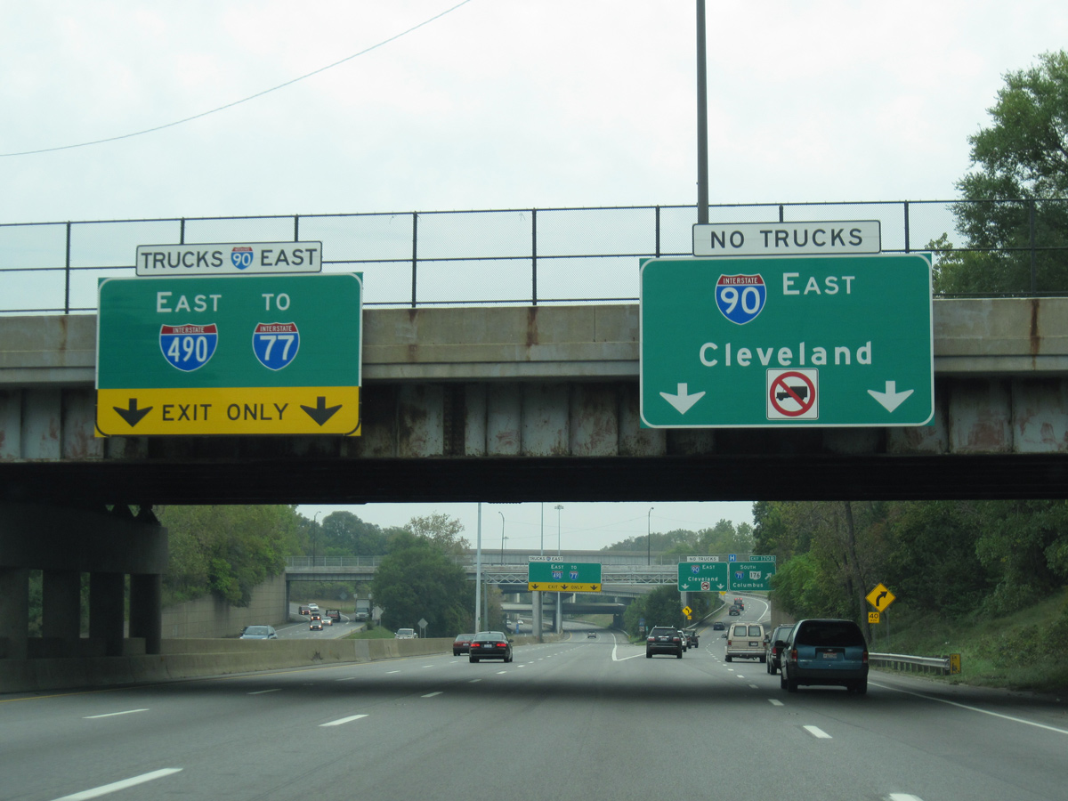
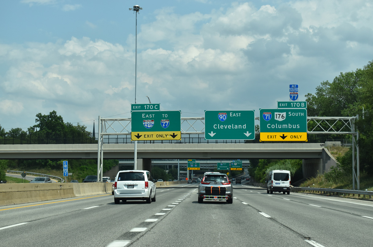
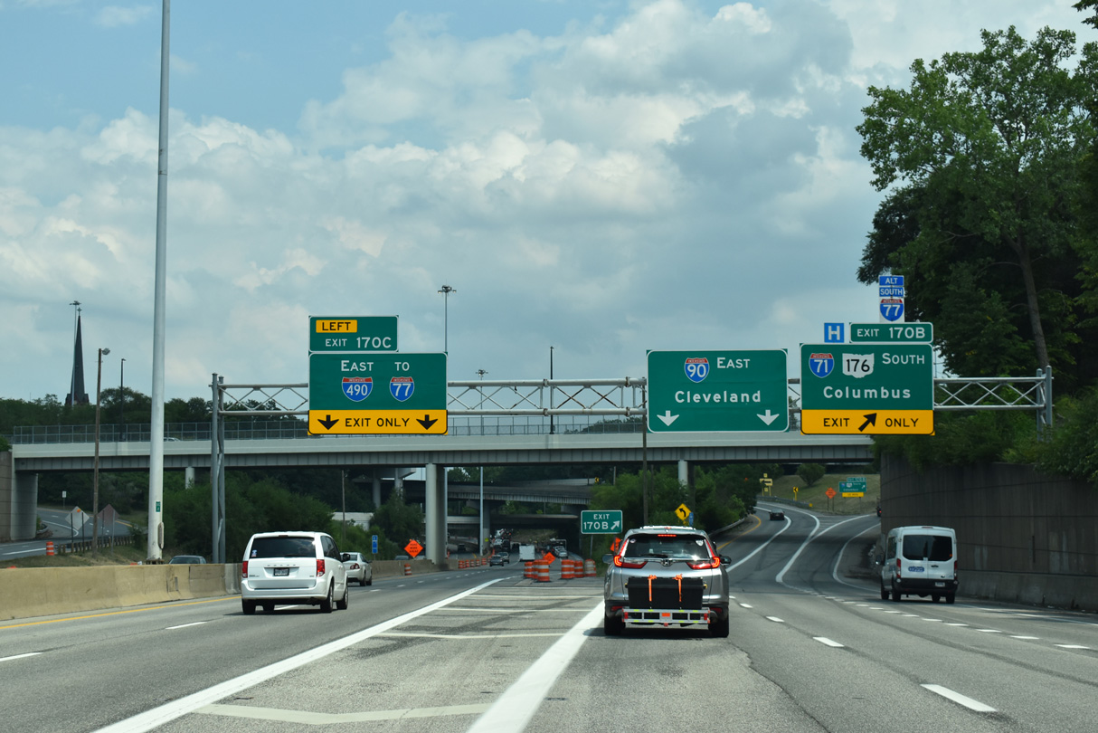
The first sign for Interstate 490/ Exit 170 C appears along I-90 (Northwest Freeway) east at Exit 169 to W 41st and W 44th Streets in the Detroit-Shoreway neighborhood. 07/23/24
West End – Past Views
Past Views Gallery (Tap to Expand / Collapse Section)
West at
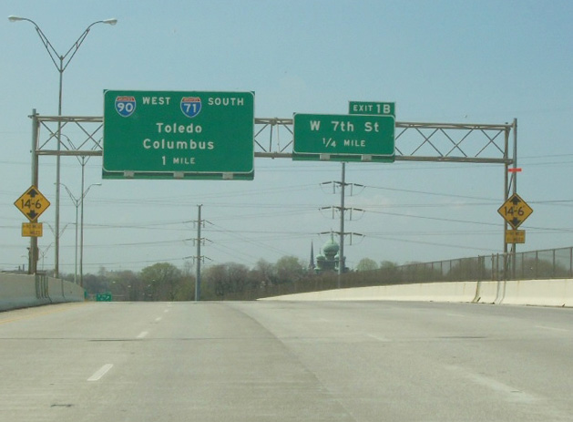
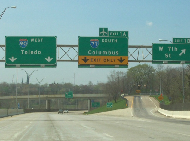
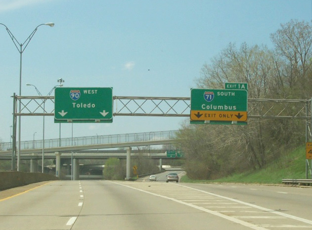
Crossing Industrial Valley and the Cuyahoga River, Interstate 490 passed under this set of button copy signs for I-71 and I-90. Photo by Tim Kubat (April 2006).
at
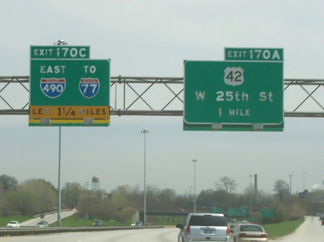
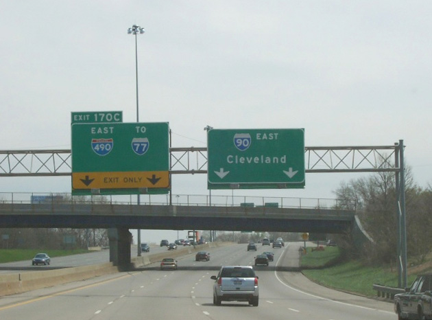
Button copy signs formerly posted for Interstate 490 east and U.S. 42 at Exit 169. Photo by Tim Kubat (April 2006).
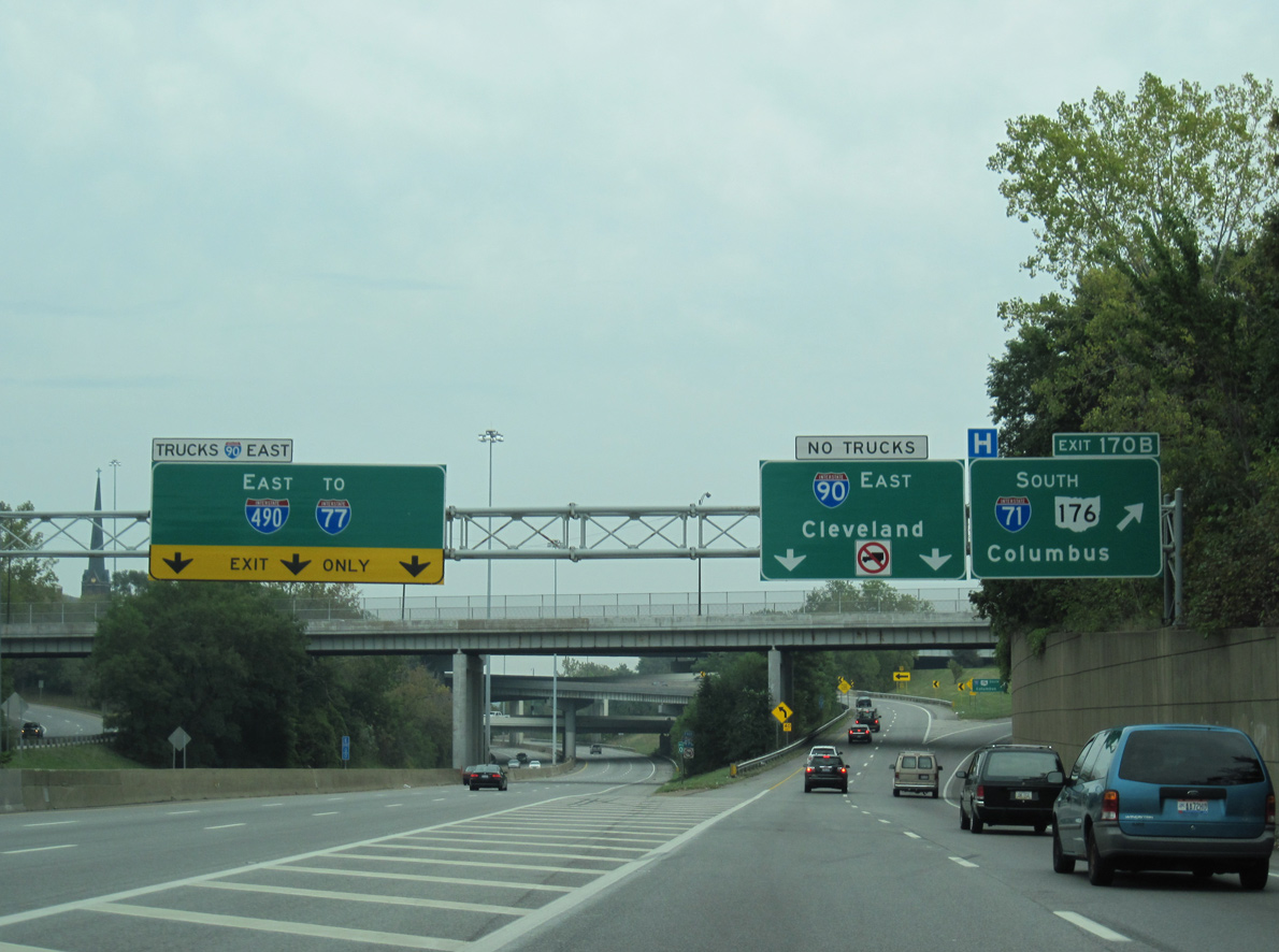
 North at
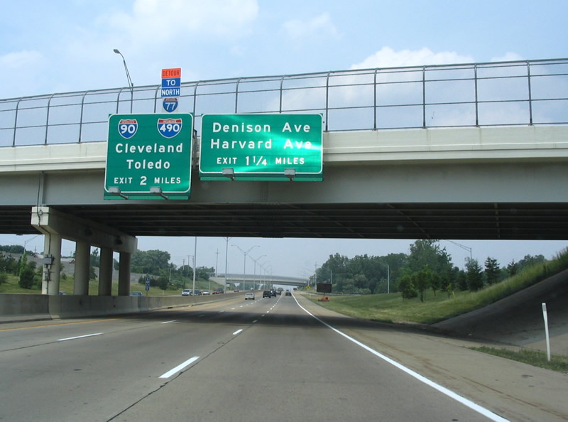
SR 176 (Jennings Freeway) winds north from Interstate 480 through the Old Brooklyn neighborhood in Cleveland to Big Creek. The freeway connects with I- 90 and I-490 in two miles. Photo by Steve Hanudel (06/18/06).