Interstate 480 Ohio
Overview
Interstate 480 connects the Ohio Turnpike (I-80) with Cleveland and the Cuyahoga County suburbs. Following the Outerbelt South Freeway, I-480 follows a 42 mile long course between North Ridgeville in Lorain County and Streetsboro in Portage County. Entering Cuyahoga County 1.25 miles east of the Ohio Turnpike toll plaza, I-480 trends northward through the city of North Olmsted to Great Northern Mall and SR 252. The freeway parallels SR 17 east from Fairview Park to Cleveland Hopkins International Airport (CLE) in southwestern Cleveland.
Straddling the Cleveland and Brook Park city line, Interstate 480 proceeds eastward into Brooklyn. The Outerbelt South Freeway rejoins the corridor along SR 17 through the Old Brooklyn neighborhood in south Cleveland. I-480 bends southward from the exchange with SR 176 (Jennings Freeway) to the village of Brooklyn Heights and the four level interchange with I-77.
East from Interstate 77, I-480 crosses the Valley View Bridge. The twin viaducts extend 4,155 foot high above the Cuyahoga River, the Cuyahoga Valley Railroad and Canal Road. Built in 1975 (Baughn, n.d.) the spans lead I-480 into the city of Garfield Heights, where the freeway again crosses SR 17.
Interstate 480 runs along the Maple Heights city line by southeast Cleveland and Warrensville Heights to the split with the I-480 north branch. Referenced as Interstate 480N on Intelligent Transportation System (ITS) markers, the north leg of I-480 connects the Outerbelt South Freeway with both Interstate 271 north to Euclid and U.S. 422 east into the city of Solon.
The mainline of I-480 angles southeast from SR 8 and I-480N into Bedford Heights, where it combines with Interstate 271 south. The 3.3 mile long concurrency leads south through east Bedford and into the village of Oakwood. The I-271/480 overlap is one of three branch route combinations in the Interstate Highway System. The others are I-785/840 at Greensboro and I-587/795 at Wilson, both in North Carolina.
Crossing the Summit County line at Madedonia, I-271 continues southwest to Northfield Center Township and the village of Richfield. Interstate 480 resumes a southeasterly heading to the city of Twinsburg and Twinsburg Township. I-480 concludes at the trumpet interchange and access road joining the Outerbelt South Freeway with the Ohio Turnpike at SR 14.
Mileage by State
| Ohio | 43.21 mi |
Data Sources
June 18, 2025 Ohio Department of Transportation (ODOT) Straight Line Diagrams. https://www.transportation.ohio.gov/programs/technical-services/tech-services-card-catalog/sld
History
The Outerbelt South Freeway was initially proposed as the southern leg of Interstate 271 west from Maple Heights to I-71 in southwest Cleveland, and as part of Interstate 80N southeast from Maple Heights to Streetsboro. This changed by 1963 with the Outerbelt South Freeway designated as part of transcontinental Interstate 80. I-80 eventually shifted south along the remainder of the Ohio Turnpike in 1971, with Interstate 480 established at that time.
The initial segment of Interstate 480 opened to traffic ran from Bedford to Streetsboro by 1966. This included the overlap with I-271. I-480 west from Bedford through Maple Heights was completed by 1976. Lengthening of the freeway west from there to Brooklyn Heights followed in 1978 (Simpson, 1998).
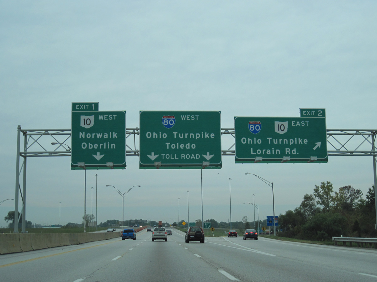
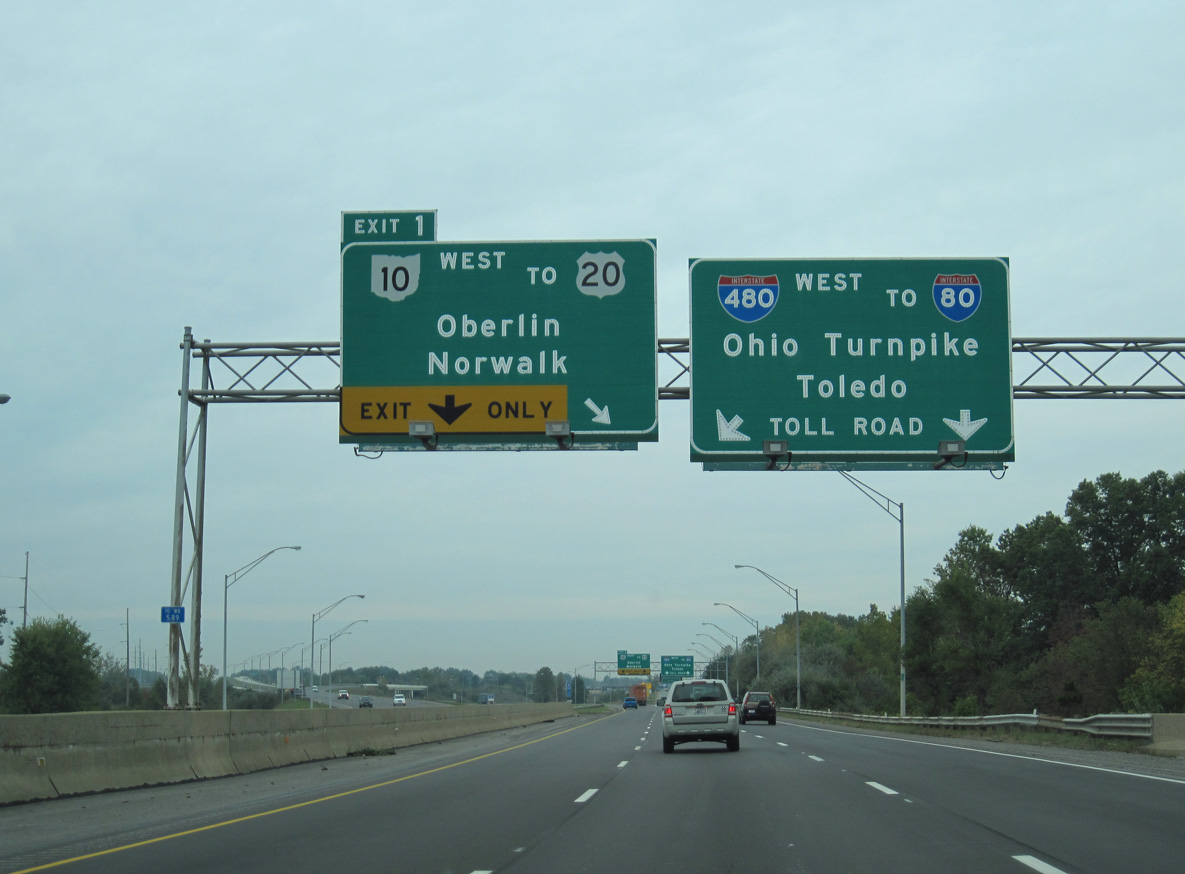
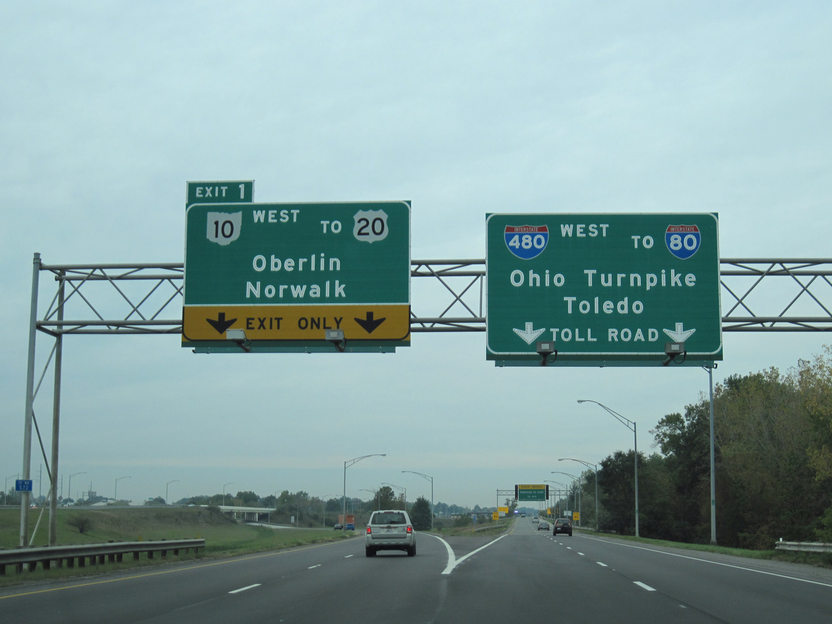
The western extent of Interstate 480, from I-80 and Ohio State Route 10 at North Ridgeville to Brook Park (I-71), was completed by 1983. I-480 was extended east another two miles by 1986 and completed overall by 1989 (Simpson, 1998).
East End 

 ‐ Streetsboro, OH
 East South at
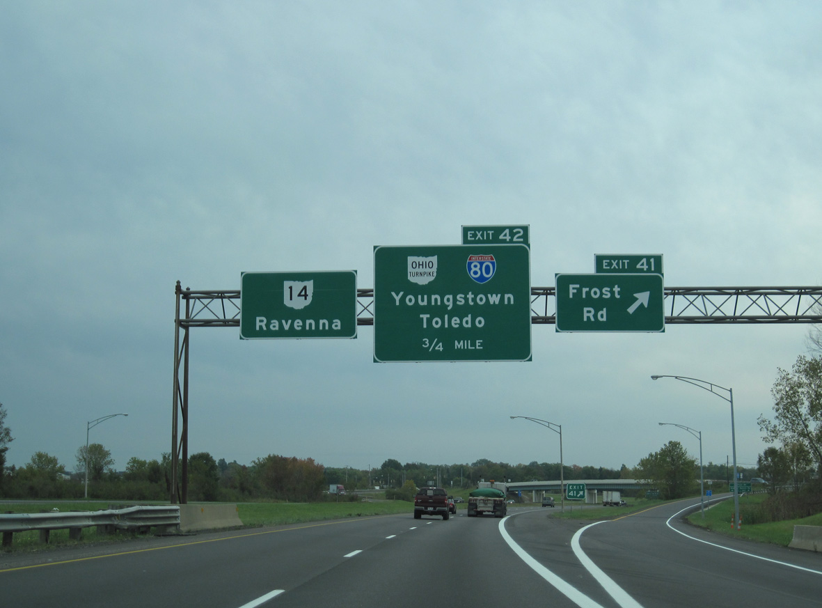
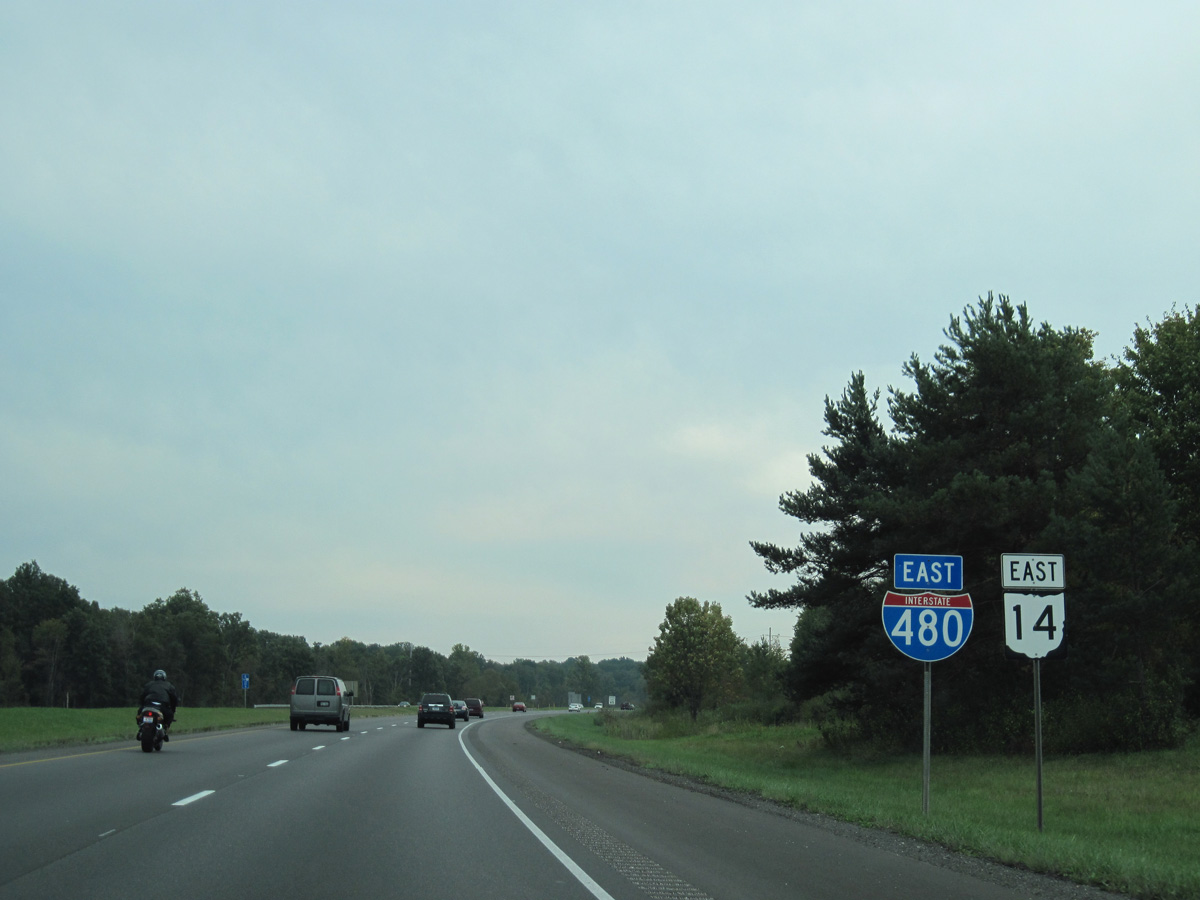
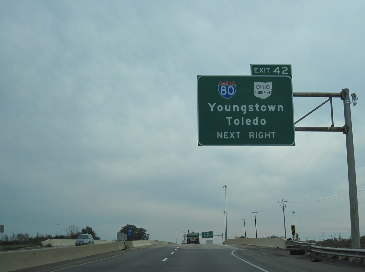
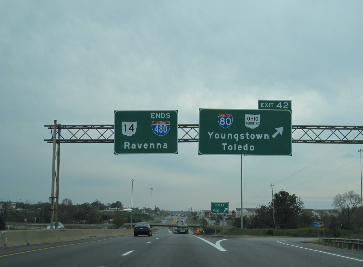
SR 14 combines with Interstate 480 southeast from the village of Oakwood to the eastern end of the Outerbelt South Freeway at Exit 42 / I-80. 09/30/10
West at
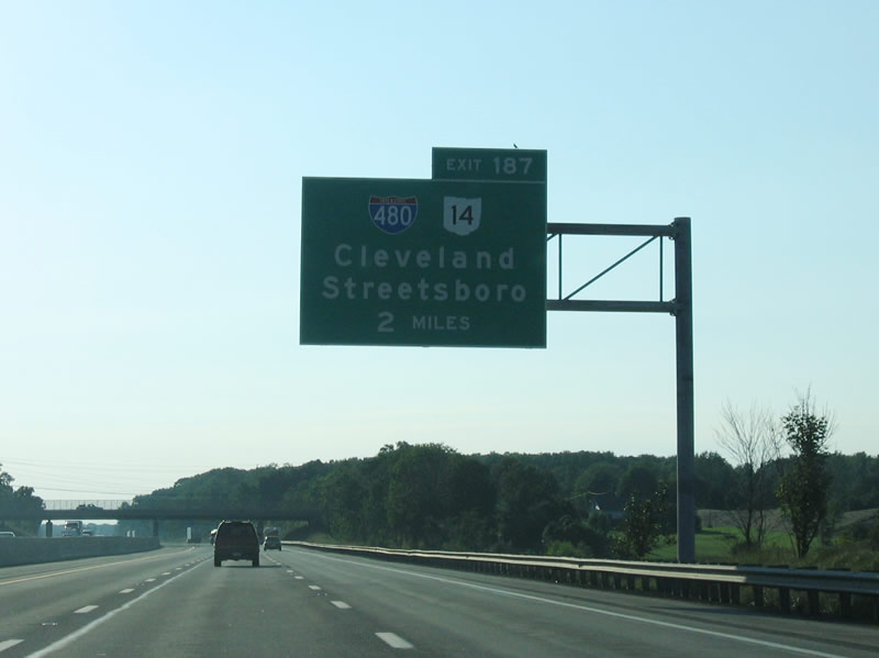
Two miles east of the trumpet interchange (Exit 187) and access road joining the Ohio Turnpike with I-480 and SR 14. 09/01/05
East at
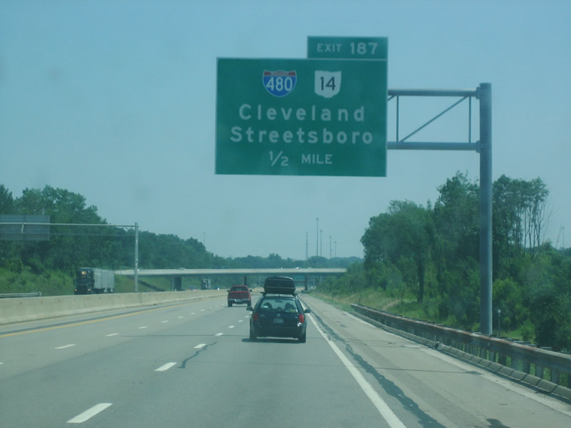
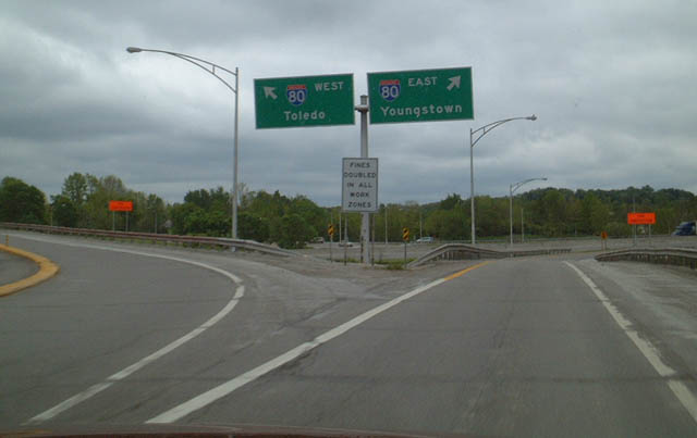
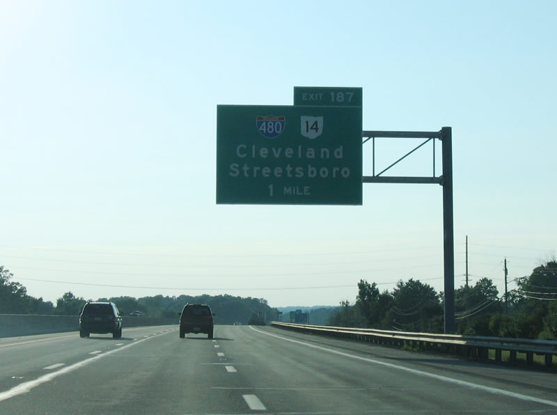
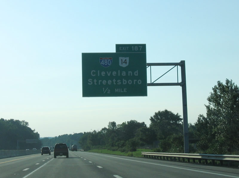
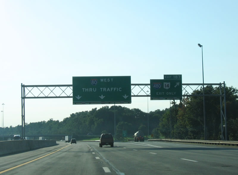
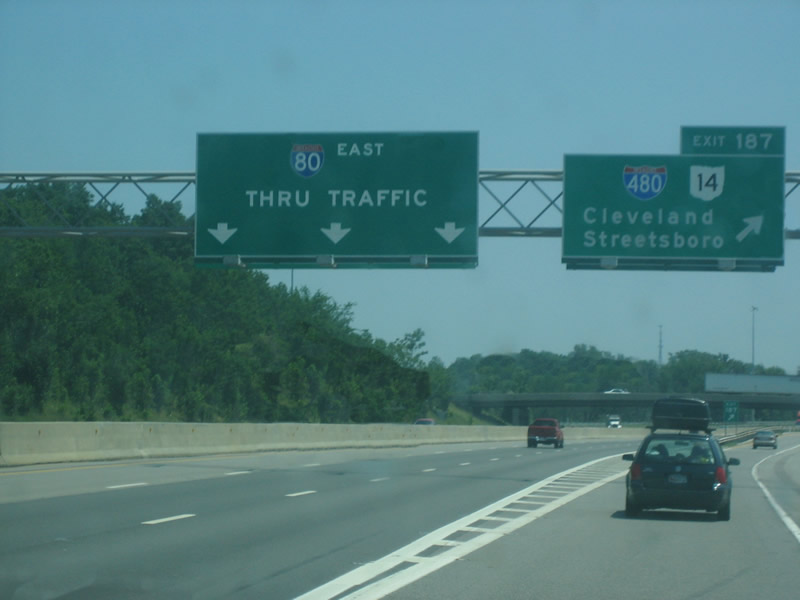
Interstate 80 (Ohio Turnpike) advances east from the city of Hudson in Summit County to the trumpet interchange (Exit 187) and access road to I-480 (Outerbelt South Freeway) and SR 14 at Streetsboro. Photo by Patrick Lilja (07/17/06).
West End  ‐ North Ridgeville, OH
West at
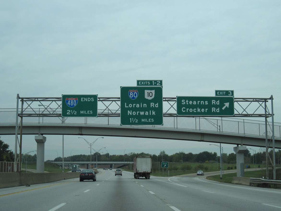
Westbound Interstate 480 ends 2.5 miles beyond Exit 3 to Stearns Road in the city of North Olmsted. 09/30/10
East at
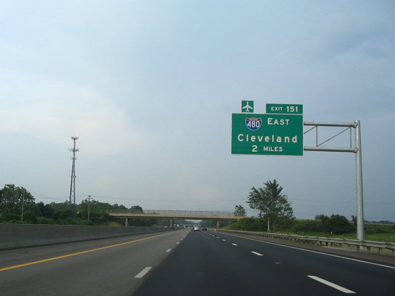
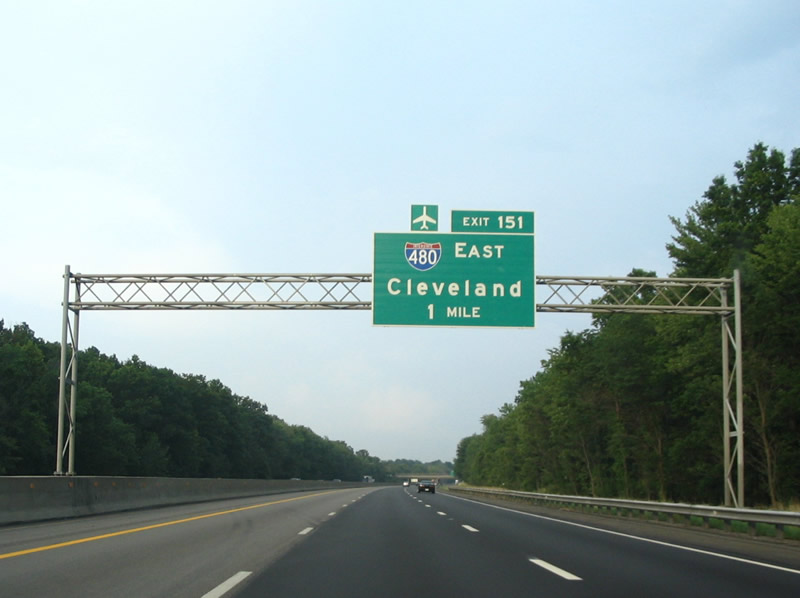
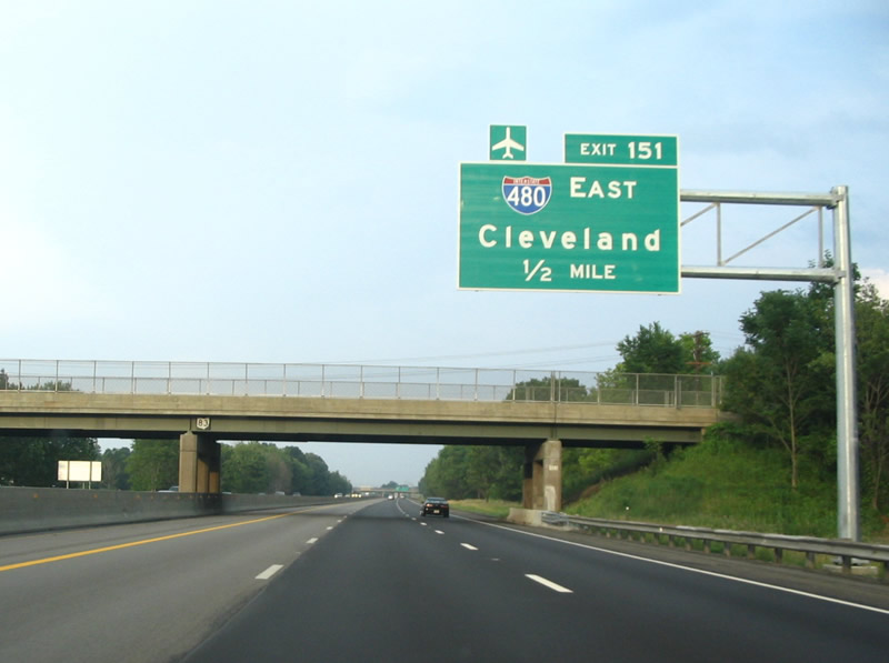
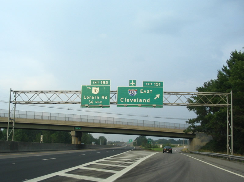
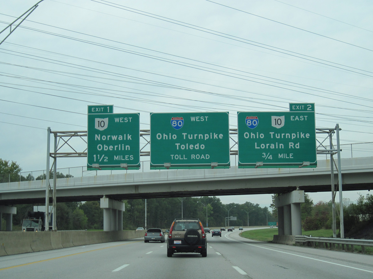
Two miles from Exit 151 and Interstate 480 on the Ohio Turnpike east in the city of North Ridgeville. Photo by Steve Hanudel (07/04/06).