
Interstate 75

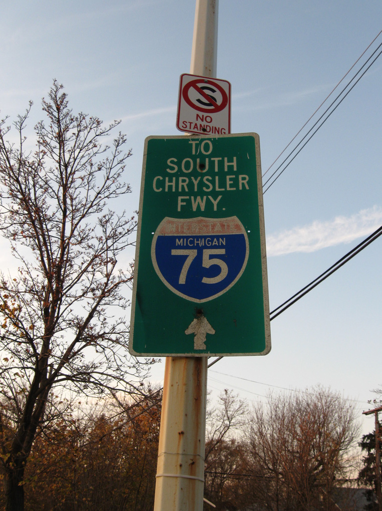
Overview
Interstate 75 is a major transportation corridor, linking the Southeastern U.S. and the Great Lakes. I-75 connects several major metropolitan areas including Miami in South Florida, the Tampa Bay region, Atlanta, Chattanooga and Knoxville in Tennessee, Cincinnati and Toledo, Ohio and Detroit, Michigan. A sentimental favorite of AARoads, annual road trips from the Midwest south to sunny Florida makes Interstate 75 a most enjoyable journey.
Well traveled for the bulk of its course, Interstate 75 has enough traffic to justify six lanes in most locations. With the exception of Alligator Alley between Southwest and South Florida, all of I-75 is at least six lanes wide from Hialeah, Florida to Chattanooga, Tennessee. Several segments of I-75 are also six lanes wide in Kentucky, Ohio and in Lower Michigan.
A number of U.S. routes conclude at Interstate 75. These include U.S. 2 in St. Ignace, Michigan; U.S. 23 and U.S. 31 in Mackinaw City, Michigan; U.S. 10 in Bay City, Michigan; U.S. 24 near Pontiac, Michigan; U.S. 68 near Findlay, Ohio; and U.S. 74 near Cleveland, Tennessee. U.S. 150 and U.S. 441 end near I-75 along parallel U.S. 25, as do U.S. 17, U.S. 19 and U.S. 301 along adjacent U.S. 41 in Florida.
Mileage by State
| Florida | 470.88 mi |
| Georgia | 355.11 mi |
| Tennessee | 161.86 mi |
| Kentucky | 191.78 mi |
| Ohio | 211.41 mi |
| Michigan | 395.54 mi |
Data Sources
December 31, 2021 Interstate Route Log and Finders List
Parallel U.S. Routes
Interstate 75 parallels a variety of U.S. routes from Naples, Florida to St. Ignace, Michigan. North from Southwest Florida to Chattanooga, Tennessee Interstate 75 closely parallels U.S. 41. Northeast from Chattanooga to Knoxville, I-75 closely follows. The U.S. 25 corridor coincides with I-75 between Knoxville, Tennessee and Cincinnati, Ohio.
Interstate 75 replaced U.S. 25 between Cincinnati and Detroit, and it replaced U.S. 10 from Detroit to Bay City. North of Bay City, Interstate 75 followed a new alignment before replacing U.S. 27 north from near Grayling and U.S. 23-31 across the Straits of Mackinac near Mackinaw City. Within the Upper Peninsula of Michigan, I-75 supplanted U.S. 2 from St. Ignace north to Ste. St. Marie.
History
Florida
Interstate 75 begins at a relatively innocuous location, the interchange of Florida State Road 826 (Palmetto Expressway) and Florida State Road 924 (Gratigny Parkway) in Hialeah, just northwest of Miami. This was not the original planned southern terminus. When plans for extending I-75 south of Tampa were first concocted, the route was planned to begin at the Midtown Interchange between I-95 and I-395 near Downtown Miami. I-75 would have followed SR 836 (Dolphin Expressway) west past Florida's Turnpike (Homestead Extension) and overlaid U.S. 41 northwest to Naples. When this was considered, I-395 was still to remain as is and FDOT maps confirm that the southern spur to Miami Beach was to remain Interstate 395.
However, with pressure to upgrade the tolled Alligator Alley (old SR 84) to a superhighway, Interstate 75 was extended instead along that route. The route was changed sometime in the mid-1970s; it may have been as late as 1977 when I-75 was relocated to the Alligator Alley (SR 84).6 This avoided the environmentally sensitive U.S. 41 corridor, which mostly remains as a two lane highway today. As a result of using the Alligator Alley, I-75 was too far north to meet I-95 in Downtown Miami, so it was rerouted to meet I-95 in North Miami via SR 924 through Opa-Locka to Exit 9. Due to local opposition, the planned easternmost leg was cancelled, and I-75 truncated to end at SR 826 (Palmetto Expressway). A portion of the freeway between SR 826 and I-95 was eventually constructed; however, it was built as a toll road (Gratigny Parkway) and not included in the Interstate highway system since it did not meet another Interstate at its end.
A planned freeway, not yet acted upon, would parallel SR 953 (LeJeune Road) south along a former railroad right-of-way to the east, ultimately connecting SR 924 (Gratigny Parkway) with another freeway but not an Interstate. This freeway would extend south to meet SR 112 (Airport Expressway) and SR 836 (Dolphin Expressway). Currently, there are no plans to extend Interstate 75 southeast along the SR 924 (Gratigny Parkway) and SR 953 corridor.
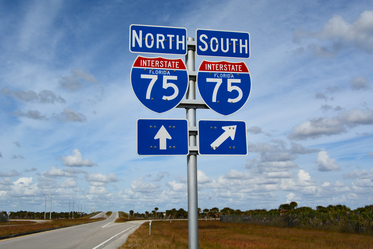
Leaving South Florida, Interstate 75 follows Alligator Alley, a toll facility linking the Miami metropolitan area with Naples and Fort Myers. There really are alligators hanging out in the canals and waterways along Interstate 75, especially through the Big Cypress National Preserve... This is the only toll road along the entire length of I-75, though there is a toll bridge in Michigan and tolled Express Lanes. Although the Alley runs from east to west, Interstate 75 is signed with north / south banners.
The project to widen the Alligator Alley from two to four lanes was completed in 1992, and tolls were slated to be removed at that time. Ongoing mitigation for Everglades restoration, wildlife portals, fences and other requirements have kept the tolls as a necessity for maintenance and monitoring that is not required on other sections of Interstate 75. Between Exit 48 (Big Cypress Indian Reservation) and Exit 80 (SR 29), I-75 passes through the Big Cypress National Preserve, a rare example of an Interstate highway passing through a national park.
From Miami north to Tampa, Interstate 75 parallels U.S. 41. U.S. 41 is a toll-free alternative to I-75 across the Everglades and through Big Cypress National Preserve, but with only two lanes and limited passing opportunities. Advancing west to the turnoff for Marco Island at SR 951, U.S. 41 becomes a heavily developed arterial with four to six lanes. With the completion of Interstate 75 through Southwest Florida in the mid 1980s, through traffic diverted from U.S. 41 to I-75. The rural corridor along I-75 eventually succumbed to the construction of housing, retail, business parks and entire communities such as Lakewood Ranch. Previously empty interchanges grew to include traveler services, apartment complexes and condominiums.
Traffic congestion increased between Naples and Tampa due to the explosive growth of this region, and by 2019 the last four lane section (in Charlotte County) was widened. A previous widening plan under consideration for Interstate 75 in Collier and Lee Counties north of SR 951 focused on financing expansion with toll (HOT) lanes. In 2005, state legislation approved the Southwest Florida Expressway Authority (now defunct) to oversee this future widening. Commonly known as the IROX project, the first 30 mile portion transformed Interstate 75 from four to six lanes between Collier County Road 846 (Immokalee Road) near North Naples to SR 884 (Colonial Boulevard) in Ft. Myers.
Until 1968, when the extension of I-75 south from Tampa to Naples was approved by the Federal Highway Administration (FHWA), Interstate 75 concluded at the Downtown Interchange where I-4 and I-275 meet in Tampa. I-4 continued southwest along what is now I-275 to St. Petersburg. So when it came time to extend Interstate 75, planners had a decision: should I-75 continue through Tampa and St. Petersburg or should it be realigned inland as a bypass of the metropolitan area? The initial decision was to route I-75 along the current alignment of I-275 through both Tampa and St. Petersburg, while Interstate 75E was proposed to bypass the urban area to the east. By 1973, the current configuration for I-75 was selected, and the freeway was completed east of Tampa Bay in 1986. Even so, the unmarked Florida state road designations allude to the former route of I-75, with SR 93 accompanying I-275 through St. Petersburg and Tampa and SR 93A overlaying I-75 around the east side of Tampa Bay.
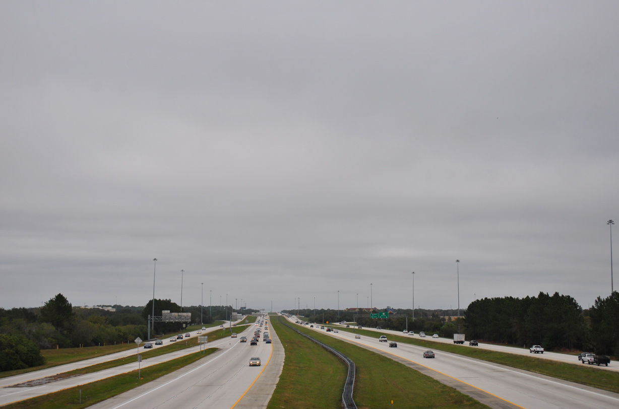
Interstate 75 widens to eight lanes through the Brandon area east of Tampa due to commuter traffic. North of Tampa, I-75 becomes the main gateway corridor from the Midwest states to Florida. Traffic is funneled to I-75 via I-74 and I-64 from Indianapolis, Milwaukee, Chicago, St. Louis, and Minneapolis. The I-75 mainline carries travelers from Detroit and Ontario. Many segments of I-75 are subject to delay as a result of the increased traffic related to the Christmas holidays and spring break.
The following are key dates in the history of Interstate 75 in Florida:8
- 1960 - The proposed segment of I-75 from Alachua north to the Georgia State Line was shown for the first time on maps
- 1962 - I-75 opened from Lake City to Genoa (first segment to open). I-75 under construction from Ellisville to Lake City and from Genoa to the Florida-Georgia State Line.
- 1963 - I-75 under construction from Wildwood north to Lake City.
- 1965 - I-75 under construction from I-4 in Tampa north to Chapman and from Wesley Chapel north to Wildwood.
- 1967 - I-4 and I-75 interchange in Downtown Tampa was constructed. Joining I-4/275 today, this exchange is commonly known as Malfunction Junction.
- 1967 - In-75 opened from Wesley Chapel to Wildwood.
- 1968 - All of Interstate 75 north of Tampa was opened except for the short segment in Tampa between the Hillsborough River and Fowler Avenue.
- 1969 - I-75 was extended southwest along I-4 into St. Petersburg. I-75 had a new proposed routing up from Bonita Springs (north of Naples) to Rubonia. The Sunshine Skyway was also added to I-75.
- 1971 - Initial proposal to extend I-75 south from Naples to Miami considered along U.S. 41 (Tamiami Trail) corridor and SR 836 (Dolphin East-West Expressway) in Miami. This proposed route was shifted to the Alligator Alley alignment in 1977. As a result of the truncation of I-4, I-75 was extended southwest through Tampa to St. Petersburg.
- 1972 - The southern terminus of I-75 was at the junction with SR 689 (54th Avenue N and Haines Road) in St. Petersburg.
- 1973 - I-75 in St. Petersburg opened from 38th Avenue N to 54th Avenue N. Shortly thereafter, the I-75 designation was shifted to the bypass route, while I-275 replaced I-75 on the city route.
- 1977 - Proposed route of I-75 from Naples to Miami shifted to the two-lane Alligator Alley (Everglades Parkway). Signs for I-75 were placed on the Alligator Alley. Another new proposed route for I-75 linked Golden Gate to Bonita Springs.
- 1978 - I-75 under construction from Estero to Tropical Gulf Acres.
- 1979 - I-75 opened from Estero to Bayshore and under construction from (1) near Opa-locka to near Andytown (U.S. 27), (2) SR 951/Golden Gate north to Estero, and (3) from Tropical Gulf Acres to U.S. 301 near Ellenton.
- 1980 - I-75 opened (1) from Bayshore to Harbour Heights and (2) North Port to Ellenton. Interstate 75 under construction from Ellenton to SR 672.
- 1981 - I-75 opened from County Road 846 north to U.S. 301. I-75 is under construction from U.S. 301 north to I-275 at Lutz.
- 1982 - I-75 opened from Ellenton to CR 672.
- 1983 - I-75 opened from CR 672 to U.S. 301 near Temple Terrace.
- 1984 - I-75 opened (1) from SR 820 to County Road 818 and (2) from Bruce B. Downs Boulevard north to Interstate 275 near Lutz.
- 1985 - I-75 opened from CR 672 north to Bruce B. Downs Boulevard, thus linking the northern and southern sections of I-75 and completing the Tampa Bay Bypass.
- 1986 - I-75 opened from SR 826 (Palmetto Expressway) in Hialeah north to U.S. 27 at Andytown. A connection to Interstate 595 began construction. The only remaining unfinished part of I-75 was the Alligator Alley corridor.
- 1989 - Construction begins to upgrade the Alligator Alley from a two lane highway to a four lane freeway.
- 1990 - The improved I-75 (Alligator Alley) opened from Andytown west to Big Cypress.
- 1992 - I-75 (Alligator Alley) opened from Big Cypress west to SR 29.
- 1993 - I-75 (Alligator Alley) opened from SR 29 to SR 951 near Golden Gate. I-75 is now complete from SR 826 (Palmetto Expressway) in Hialeah north to the Georgia-Florida State Line, which includes both its original, planned route and the 1971 southerly extension to the Miami metropolitan area.
Georgia
Within southern Georgia, Interstate 75 had several business loops that served cities such as Valdosta, Tifton and Cordele. These business connections lead to U.S. 41 through these towns. Interstate 75 meets I-16 at Macon, which connects Savannah to Atlanta. With six overall lanes, Interstate 475 is the preferred bypass route for through traffic between Florida and Atlanta, and the freeway also hosts the last northbound rest area until beyond Atlanta.
All of Interstate 75 between the Florida state line and Macon carries six overall lanes. The stretch between Exit 18 (SR 133) and the Crisp/Dooly County Line near Milepost 106 was expanded as part of a $776 million project constructed between 1996 and April 8, 2011.2 Work added lanes on the inside of the freeway right of way with a concrete barrier median separating traffic. Many overpasses were also raised to current Interstate standards.
Within the city of Macon, long term construction upgrades I-75 from Hardeman Avenue to Pierce Avenue. The I-16/I-75 Interchange Project rebuilds the exchange with I-16 / Exit 165 to eliminate left exit ramps and weaving traffic. Planning to improve the deficiencies at this interchange has been underway since the early 1980s. This culminated into an agreement on the preferred alternative at a Public Information Meeting held on October 24, 2000. 3.3 miles of the freeway was expanded leading northwest from Macon by November 2013,3 but continued delays first pushed back road work at I-16 to Fall 2016. Split into six phases, Phases 1 through 3 were eventually completed by Fall 2025. Work on Phases 4 and 5 runs through Fall 2026 and Phase 6 construction started in Fall 2025. Work on the overall project continues to 2030.
Continuing northward to the Atlanta metropolitan area, Interstate 75 maintains six lanes to McDonough, where the tolled Express lanes commence. The managed lanes run between the north and southbound roadways between SR 155 (Exit 216) and the split with I-675 (Exit 227) at Stockbridge. Within the Perimeter Highway (Interstate 285), I-75 combines with I-85 along the Downtown Connector.
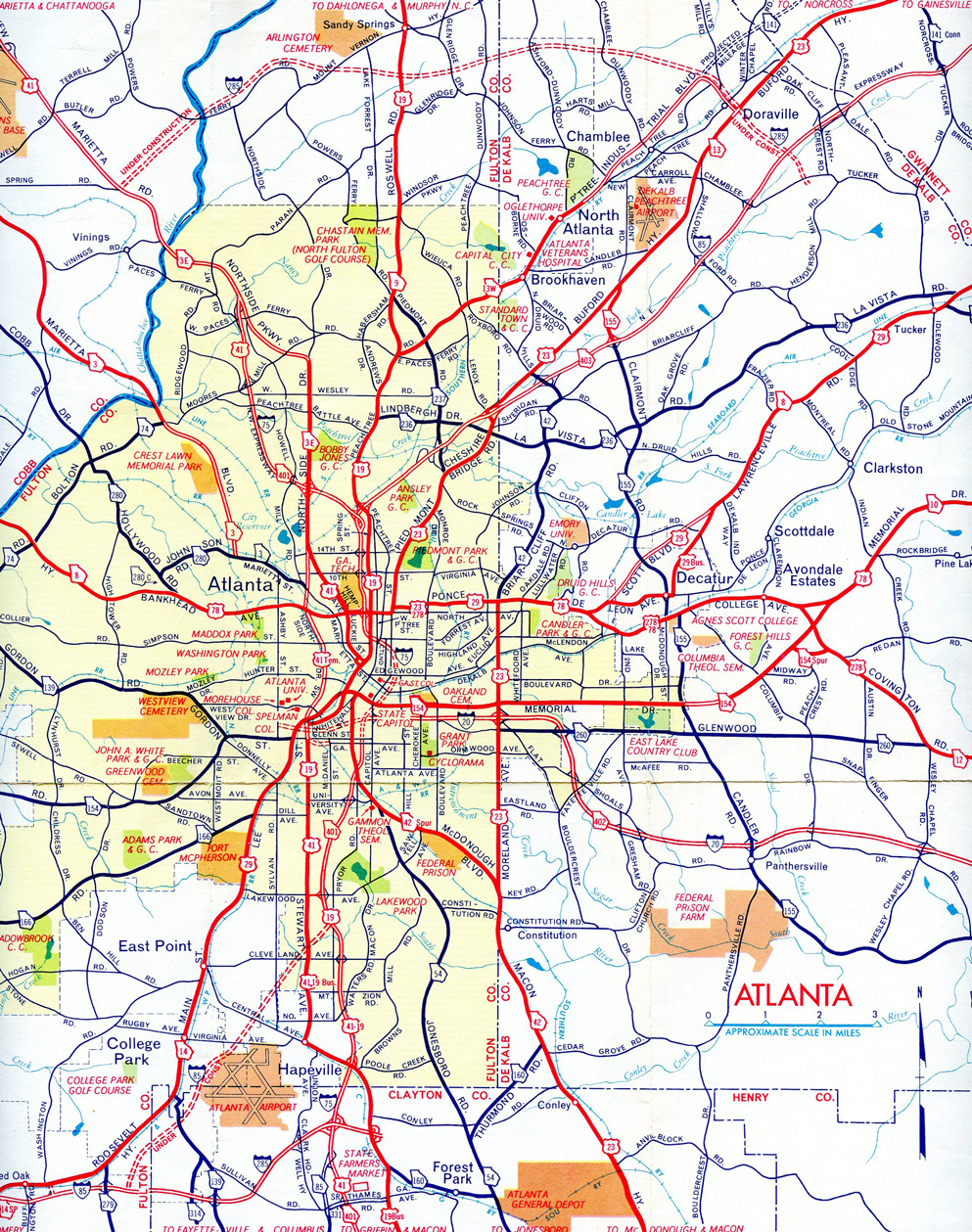
Traffic and capacity issues plague the Atlanta metropolitan area routine and improvement projects are always ongoing or in development. One such plan was the "Freeing the Freeways" mega project. Split in a series of projects strung out between 1976 and 1994, work along I-75 rebuilt the freeway from the Downtown Connector northwest to the I-285 from 1982 to 1987. Redesign of the Downtown Connector, including an overhaul of the Capitol Hill Interchange with Interstate 20, followed between 1985 and 1988. I-75/85 was expanded to as many as 16 lanes.
The arrival of the Summer Olympic Games in 1996 in Atlanta was preceded by the restriping of Interstate 75 to accommodate HOV (High Occupancy Vehicle) lanes between May 1995 and May 1996. The left lanes of I-75 and other Atlanta area freeways were restricted to HOV-2 eligible motorists. Lanes were enforced 24 hours a day.
Some HOV lanes in the Atlanta were converted to tolled express lanes. With the success of the I-85 Express Lanes from Atlanta northeast to I-985, efforts to expand I-75 with the managed lanes followed. Construction underway between October 2014 and December 2016 added two reversible HO/T (High Occupany/Toll) lanes along Interstate 75 from SR 155 (McDonough Road) north to SR 138 (Stockbridge Highway). The Northwest Corridor project added Express Lanes from I-285 to Hickory Grove Road and along I-575 north to Sixes Road. The 29.7 mile long system was constructed from October 2014 to September 8, 2018 at a cost of $834 million.9
Leaving Atlanta, Interstate 75 leads northwest toward Chattanooga, Tennessee with no less than six lanes. The last section of I-75 completed between Tampa, Florida, and Sault Ste. Marie, Michigan, was a section four miles north of Marietta, Georgia. It opened on December 21, 1977.10
Tennessee
Once at Chattanooga, Interstate 75 changes direction from northwest to northeast. U.S. 41 departs toward Nashville and Chicago, while I-75 picks up U.S. 11. Here, I-75 provides the connection between I-59 and I-81, both of which parallel the U.S. 11 corridor. Interstate 75 combines with I-40 east from near Eaton Crossroad into the city of Knoxville with as many as eight overall lanes.
Within Knoxville, I-75 originally looped east to Downtown along an extended overlap with I-40 to Interstate 275 north. The American Association of State Highway and Transportation Officials (AASHTO) approved relocating I-75 onto the western leg of Interstate 640 (which was scheduled to open in December 1980) on June 25, 1980. The Tennessee Department of Transportation (TDOT) application to AASHTO cited the following reasons for the numbering changes:
1. By routing I-75 along the western leg of I-640 rather than its existing route through town, travel distance can be reduced by 1.79 miles, a substantial savings in travel time and fuel consumption.
2. At the present time through traffic on I-75 must traverse nine interchanges and one major directional interchange along its route through town. The proposed routing along I-640 includes only two interchanges. With less merging and diverging traffic conditions, the routing along I-640 would be desirable from a safety standpoint.
3. With this change, elimination of overlapping major Interstate routes, (I-40, I-75) would result in the downtown Knoxville area.
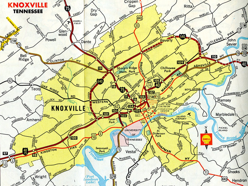
TDOT initially requested I-640 be truncated to a west end at the exchange with I-75/275. FHWA however disagreed, indicating that I-640 should become a portion of I-75. Though FHWA also provided the suggestion of:
The State is free, however, to place I-640 trailblazer signs on that section as well as on I-40 west of the interchange with renumbered I-75. Interstate 640 would then be from I-75/I-275 to I-40 in northeast Knoxville.
Some of the most beautiful mountain scenery along Interstate 75 can be found north of Knoxville en route to Kentucky at Jellico. This stretch of freeway parallels U.S. 25W.
The "Interstate 175 Corridor" feasiblity study in 2002 focused on a corridor paralleling I-75 in Kentucky and Tennessee between Chattanooga and Lexington. Unfunded, the concept outlined potential corridors along U.S. 27 or U.S. 127. It never gained traction.
Ohio
North from Cincinnati, an Ohio Department of Transportation (ODOT) project known as the "Thru the Valley Project" or North-South Transportation Initiative, focused on growing congestion along Interstate 75 from State Route 561 north through Warren County. 2003 estimates for the project included an option for new light rail, with $1 billion allocated to the stretch through Hamilton County.1,4 Preliminary studies and design work commenced in May 2004 to widen and reconstruct the freeway between Paddock Road and Interstate 275.
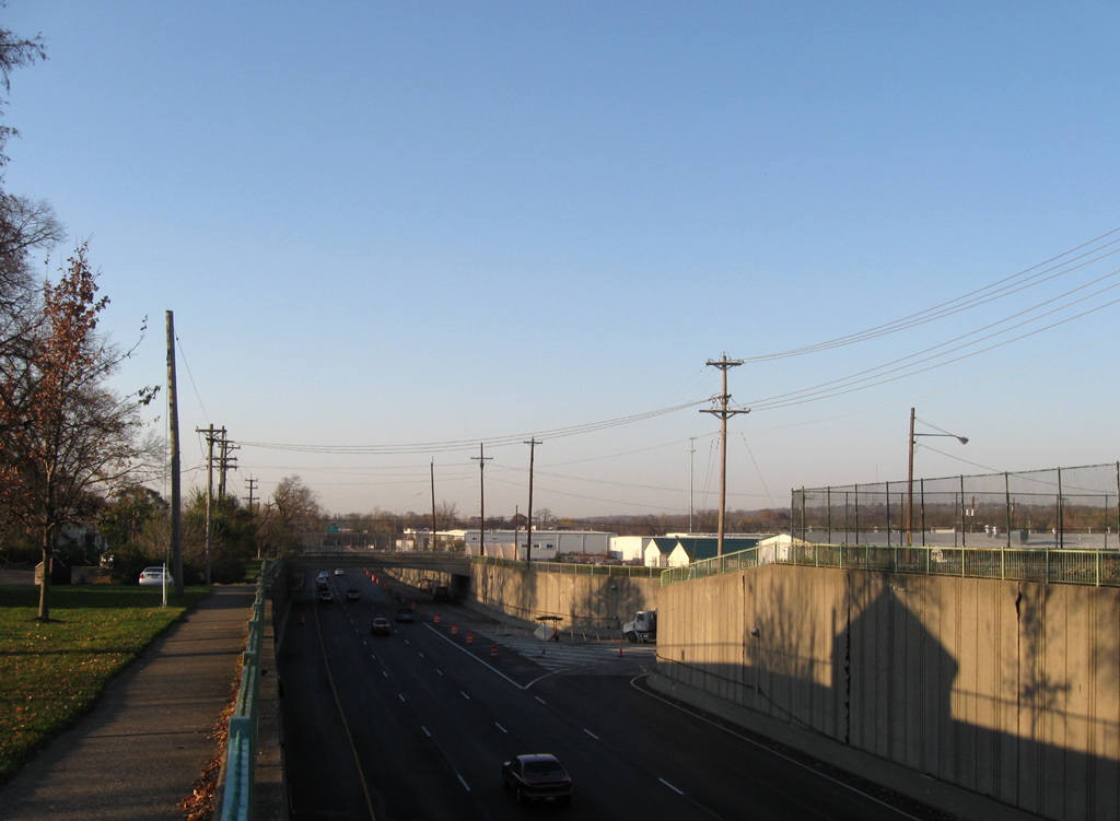
Due to cost increases and rising inflation in 2009, work on the Thru the Valley Project was separated into eight phases. Phases 1 through 3, including portions of I-75 between Shepherd Lane (Exit 13) and Glendale-Milford Road (Exit 14) and I-75 at SR 126 (Ronald Reagan Highway), were underway with property acquisition by 2016. Property acquisition for Phase 8 was to start in Summer 2016, followed by Phases 4, 5 and 6 in 2017. When completed, Interstate 75 expansion will bring the freeway to eight overall lanes, with added auxiliary lanes where needed.
The Thru the Valley Project phases from south to north:13
- Phase 3 - reconstruct the freeway between the Mill Creek bridge and the trumpet interchange with SR 126 (Ronald Reagan Highway) and add a fourth lane in each direction. Costing between $39-49 million, with work scheduled between
Spring 2020 and Fall 2021Fall 2023 to Summer 2025. - Phase 4 - replace the railroad bridge over I-75 southbound and realign Exit 10 to Galbraith Road. Costing between $22-32 million, work was previously scheduled to run from Spring 2020 through Fall 2021. A revised time table between Fall 2022 and Fall 2024 was subsequently put on hold.
- Phase 6 - add a fourth lane to Interstate 75 northbound while reconstructing the roadway from Galbraith Road to Shepherd Lane (Exit 13). Add a new ramp from SR 126 west to I-75 north. Construction on the $125-135 million project was previously anticipated from Spring 2022 to Fall 2024. The tentative schedule was revised to Spring 2027 to Spring 2030.
- Phase 5 - rebuild the southbound lanes of I-75 from Shepherd Lane to Galbraith Road (Exit 10), adding a new lane and constructing a collector distributor road for new ramps with parallel Anthony Wayne Avenue and Galbraith Road. Costing between $63-73 million, the time frame was revised from Spring 2020 to Fall 2021 to Spring 2024 to Spring 2025.
- Phases 1 & 2 - expanded I-75 to eight overall lanes during reconstruction from Shepherd Lane (Exit 13) north to Glendale-Milford Road (Exit 14). Reconstruct the interchange with Shepherd Lane and realign Neumann Way to the east of Interstate 75. The $90 million project broke ground in Spring 2017. Scheduled for completion in Spring 2021, it was previously anticipated to wrap up in Spring 2020, then Fall 2020.
- Phase 8 - adding capacity to the diamond interchange (Exit 15) with Sharon Road and Chester Roads, work also adds a fourth lane to I-75 in each direction while reconstructing the mainline from Glendale Milford Road north to Kemper Road (just south of I-275). Construction on the $46 million phase runs from Spring 2021 to Summer 2025.
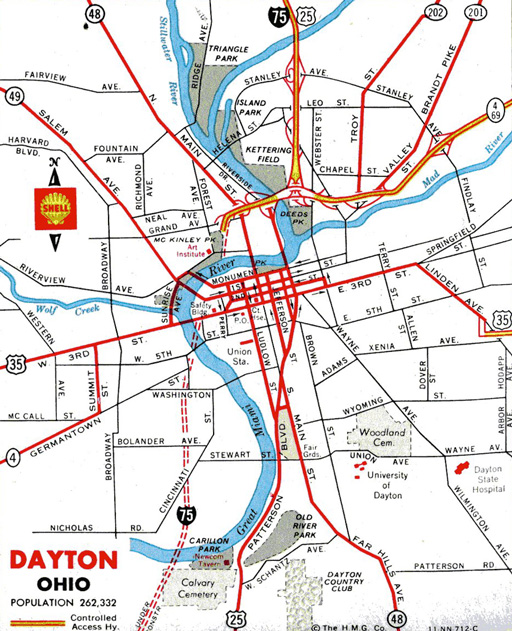
The Downtown Dayton Sub-Corridor project between Edwin C. Moses Boulevard near Exit 52B (U.S. 35) and Keowee Street, near Exit 54B (SR 4) began in October 2007. The long term project separated into three phases:
Phase 1A included reconstruction of the interchange between I-75 and SR 4 to eliminated a sharp curve, rebuilding ramps or closing ramps and replacing left exits. Work included upgrading the Main Street exit and expanding the freeway mainline to six continuous lanes. The $122 million project ran through Fall 2011.
Phase 1B commenced in March 2010. It expanded I-75 to six overall lanes between Edwin C. Moses Boulevard (Exit 51) and the viaduct over 5th Street (SR 4) and rebuilt a portion of the four-level interchange with U.S. 35. The $58 million project was completed in Fall 2013.
Costing $126 million, Phase 2 connected the previous project areas by expanding Interstate 75 to three continuous lanes per direction. Crews also reconstructed 12 bridges and eliminated additional left entrances and exit ramps. Work ran from Spring 2013 to a completion ceremony held on September 22, 2016. Follow up work continued on U.S. 35 at the exchange with I-75. Separate but nearby projects replaced bridges for I-75 at Edwin C. Moses Boulevard and Wagoner Ford Road (Exit 57).12
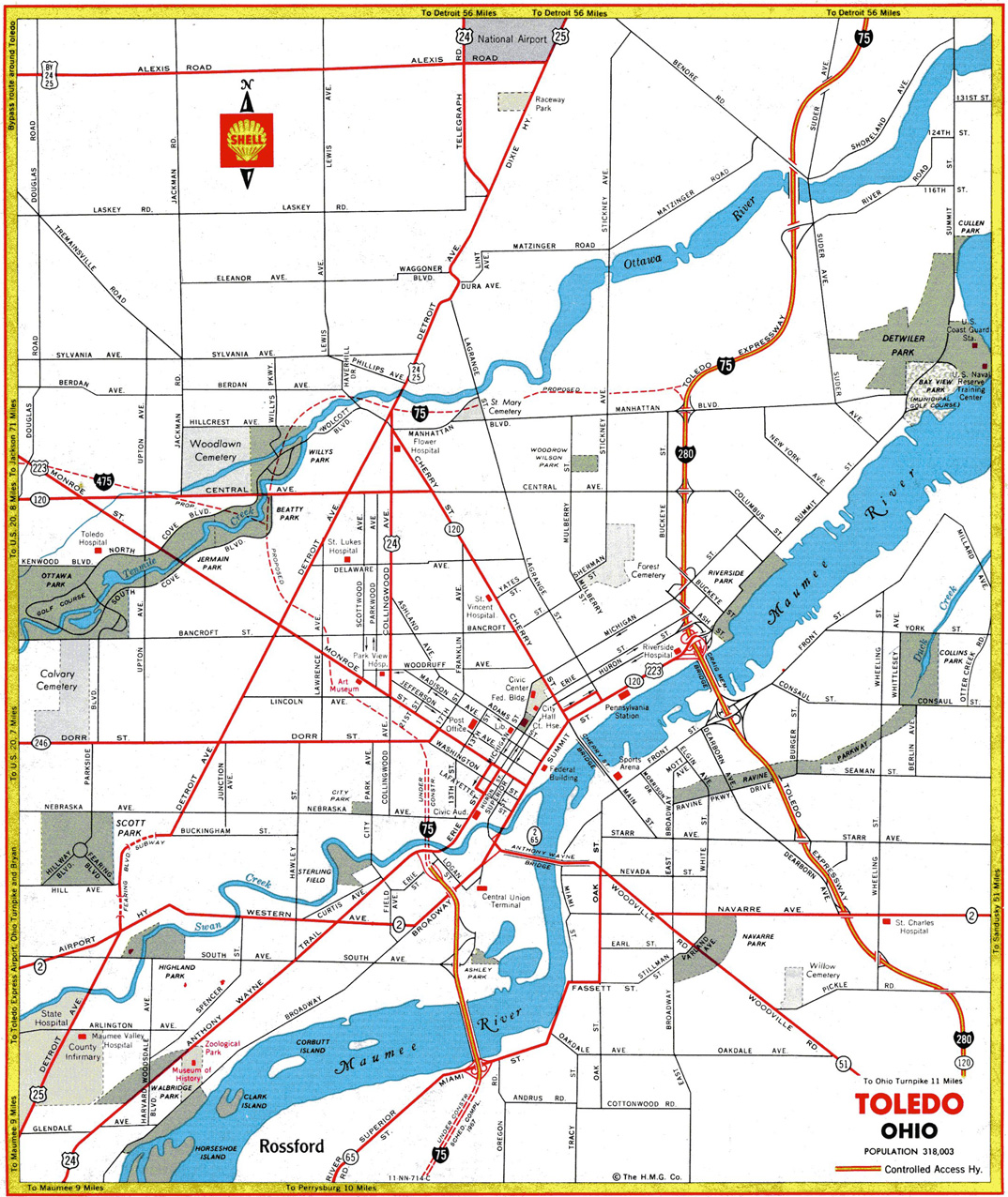
Under a 10-year $5 billion transportation improvement plan announced August 6, 2003 by Governor Bob Taft, Interstate 75 was expanded from four to six lanes between I-475 (Exit 205A) and I-280 (Exit 208) and between 14th Street and Anthony Wayne Trail near Downtown Toledo. Additionally the exchange at I-75/475 (Exit 205A) was reconstructed and improved. A six cent hike to the state motor fuels tax over the course of three years helped cover the costs of these projects.5
Michigan
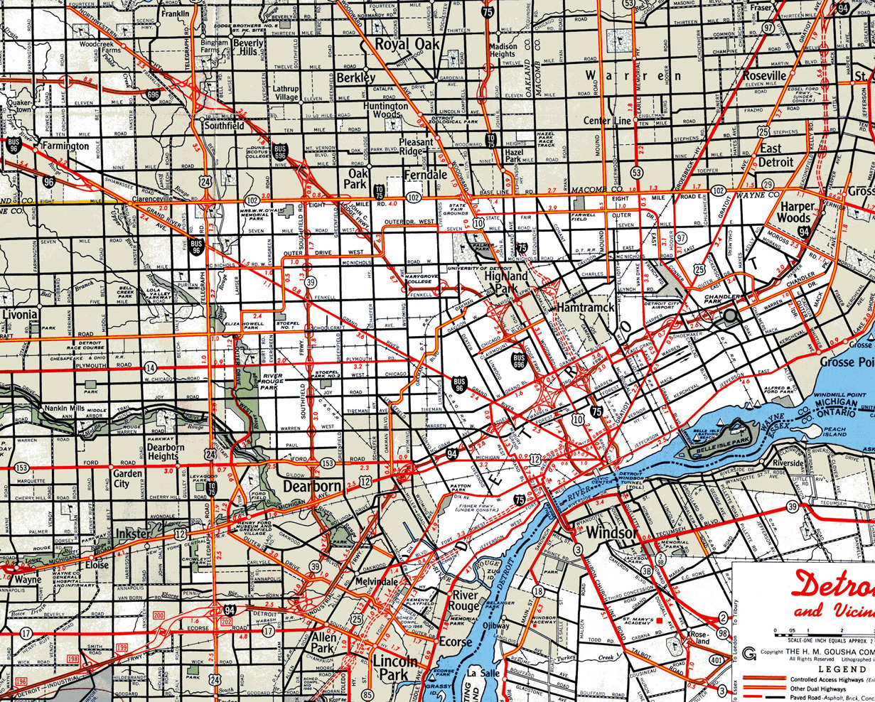
Leaving the Buckeye State, Interstate 75 approaches the Detroit metropolitan area. Construction completed in July 2009 reconstructed the interchange with Interstate 96 as part of the Ambassador Bridge Gateway Project. Work started on February 25, 2008 improved the connection between I-75 and the Ambassador Bridge linking Detroit and Windsor, Ontario. I-96 eastbound was extended to beyond I-75 to the bridge into Canada, while the westbound connection remained incomplete due to a jurisdictional dispute between the Detroit Bridge Company and the Michigan Department of Transportation (MDOT).
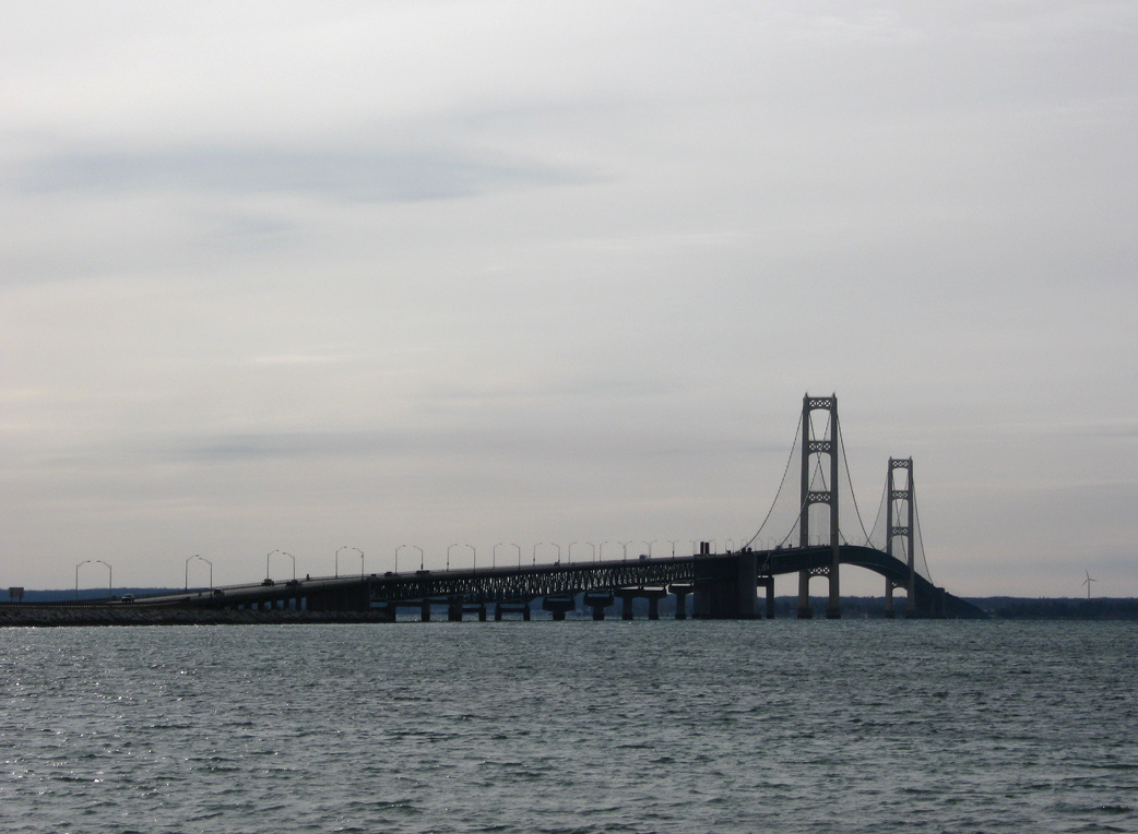
Interstate 75 leaves Downtown Detroit with a northerly course toward the Upper Peninsula via one of the country's longest suspension bridges, the Mackinac Bridge. The Mackinac Bridge is symbolic for connecting the Lower and Upper Peninsulas of Michigan. Spanning the Straits of Mackinac, this toll bridge crosses over waters that freeze in the coldest winters. The left lane of the bridge is steel grating rather than concrete. Mackinac Island, home of famous Mackinac Island fudge, can be reached by ferry from either Mackinaw City or St. Ignace.
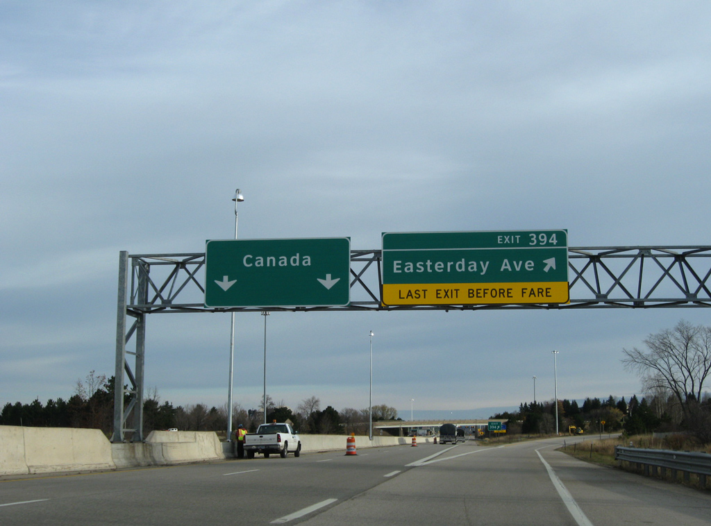
Beyond Easterday Avenue (Exit 394) at Sault Ste. Marie, Michigan, Interstate 75 concludes at the port of entry for the International Bridge. With two overall lanes, the tolled arched truss bridge linking Sault St. Marie Michigan with Sault St. Marie, Ontario opened to traffic on October 31, 1962. The International Bridge Toll Plaza project replaced conventional toll booths with a new enhanced toll collection system. The two year long project cost $8.9 million and commenced in May 2014.
South End 
 ‐ Hialeah, FL
 South at
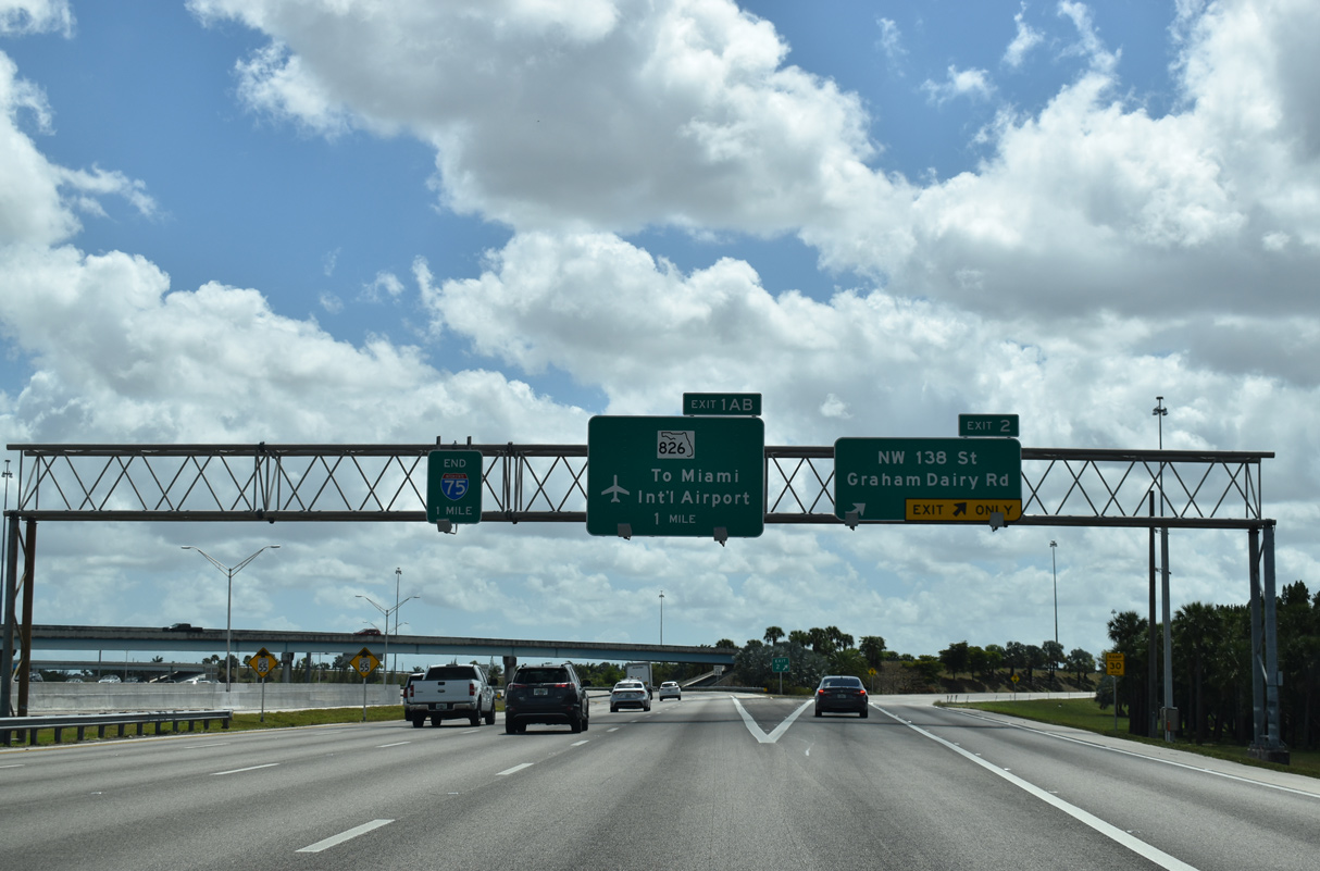
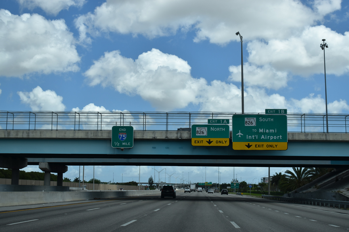
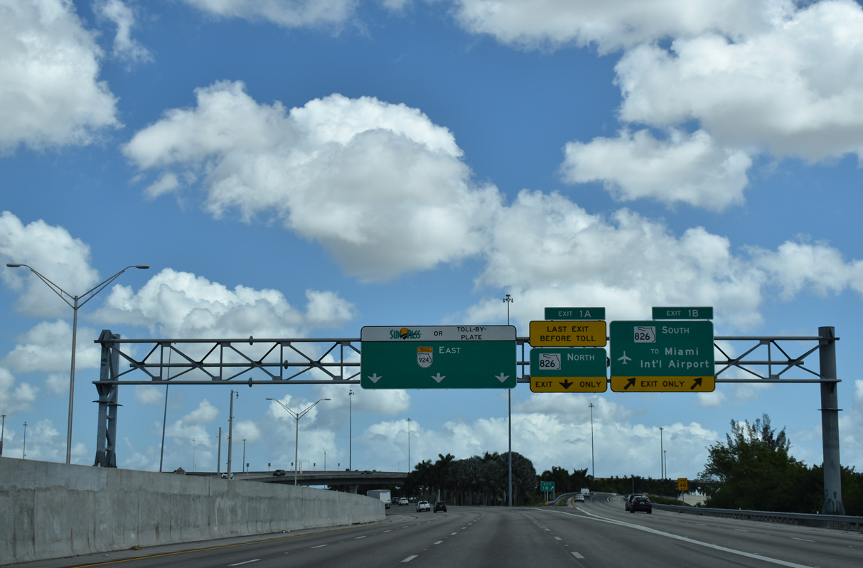
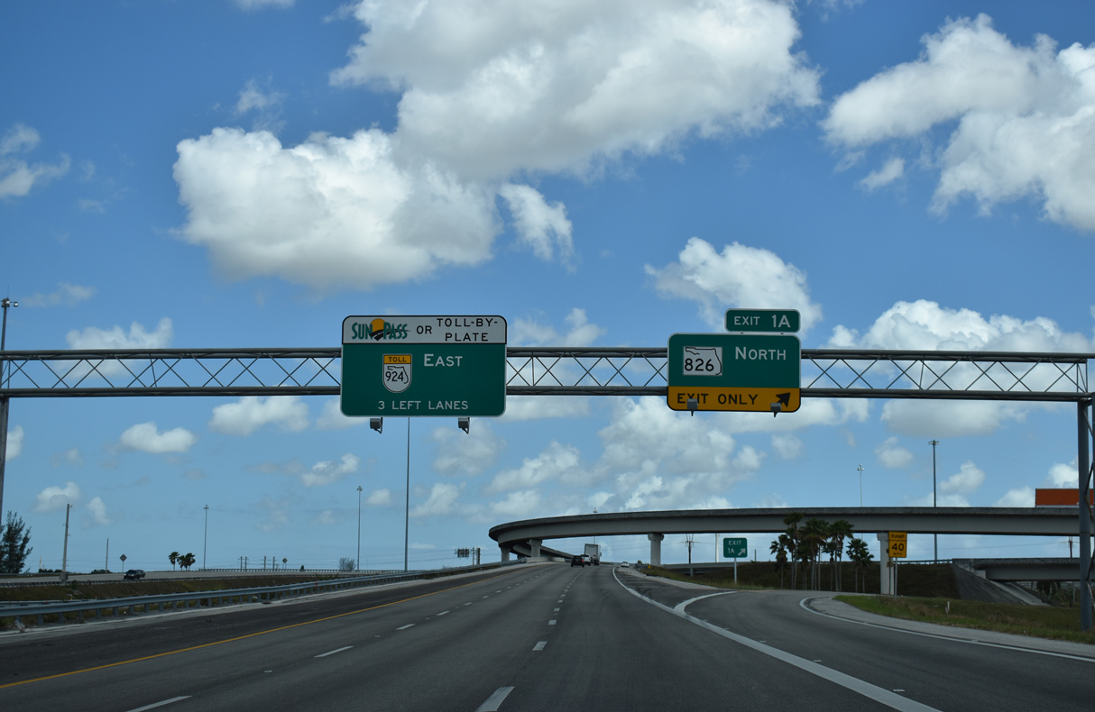
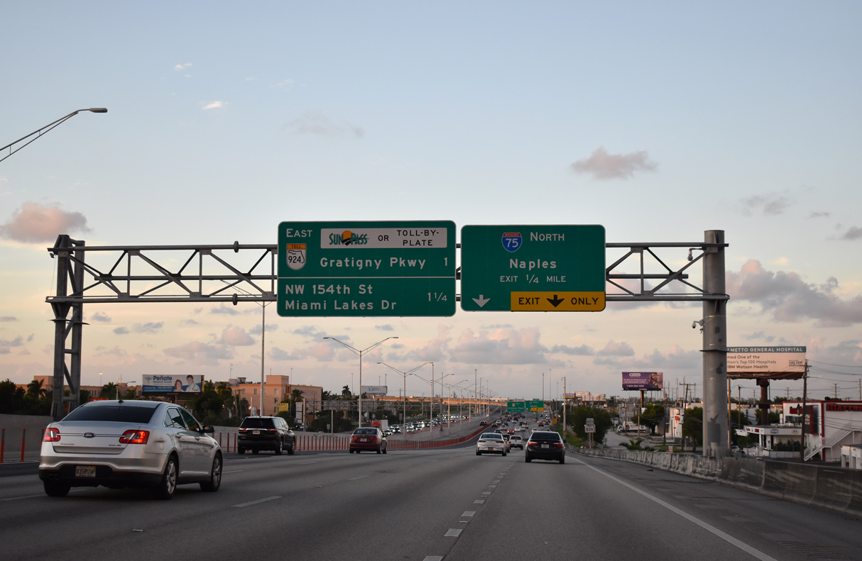
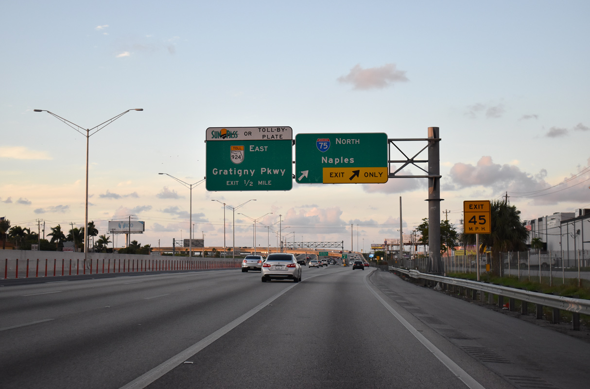
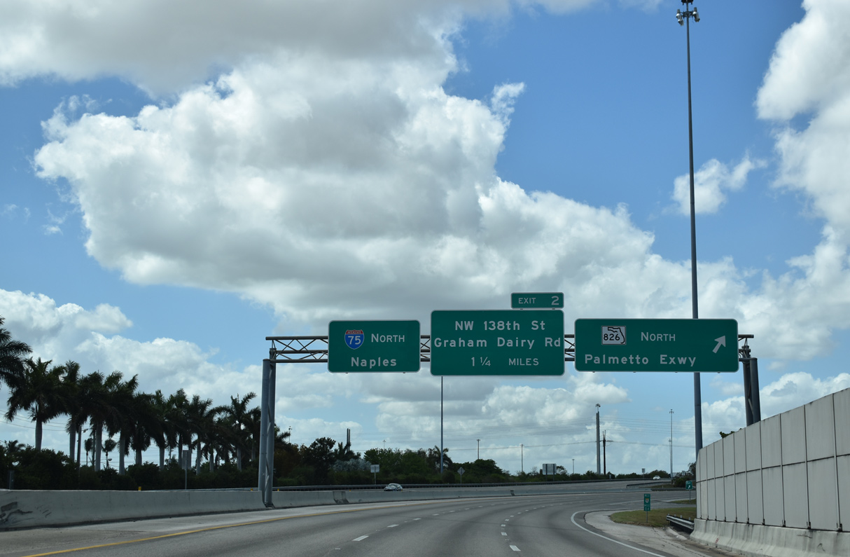
An end sign for Interstate 75 appears one mile out at Exit 2 to NW 138th Street. I-75 concludes at a systems interchange with SR 826 (Palmetto Expressway) and SR 924 (Gratigny Parkway) along the Miami Lakes and Hialeah city line. 03/21/20
North at
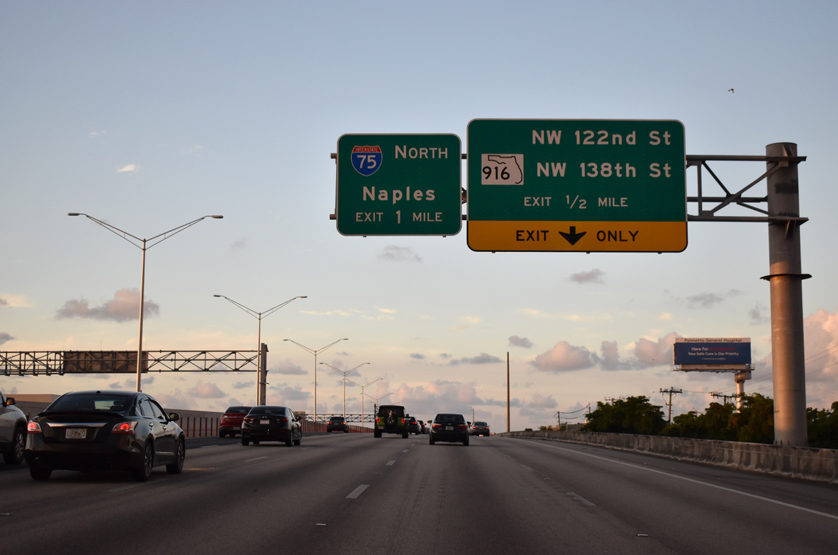
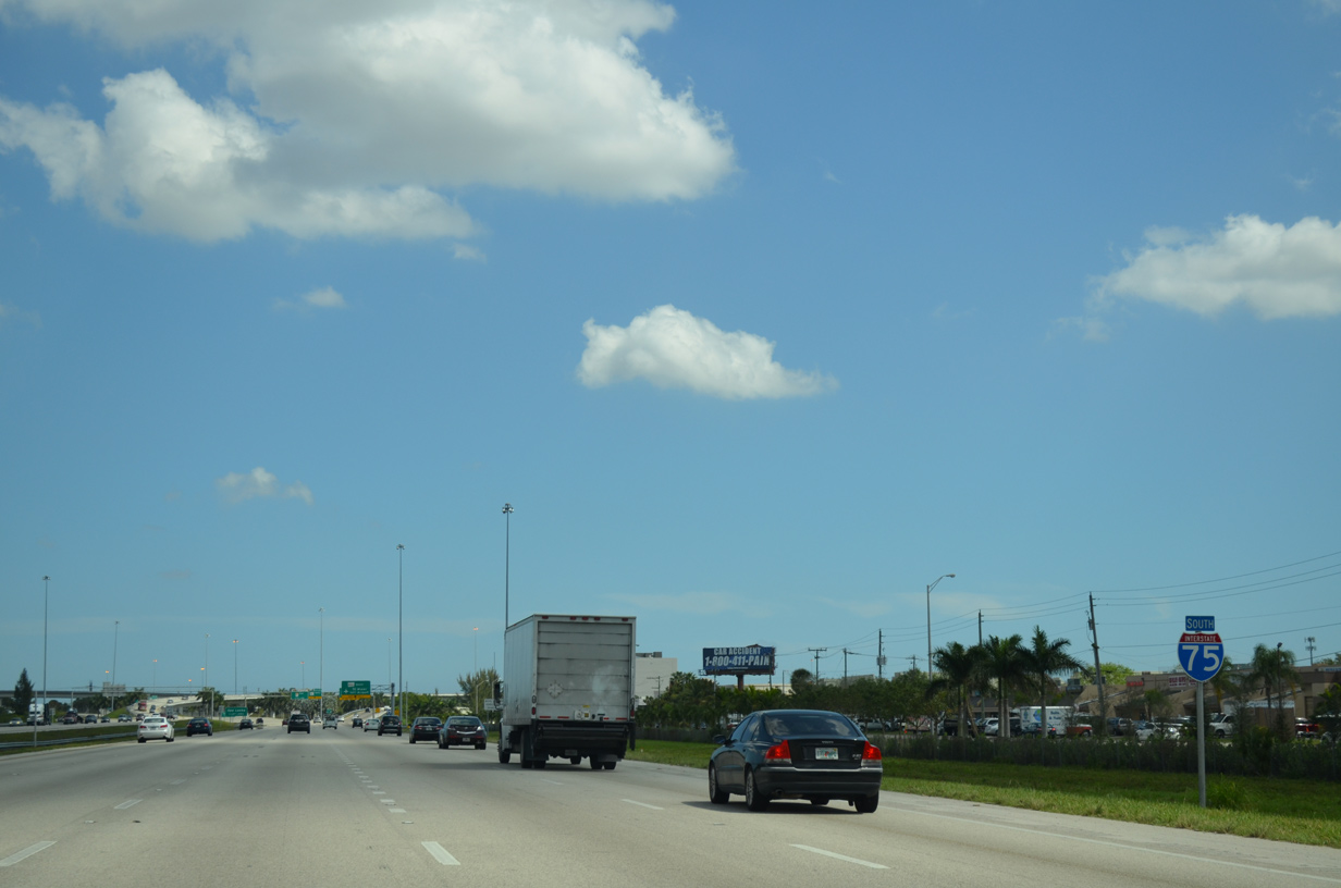
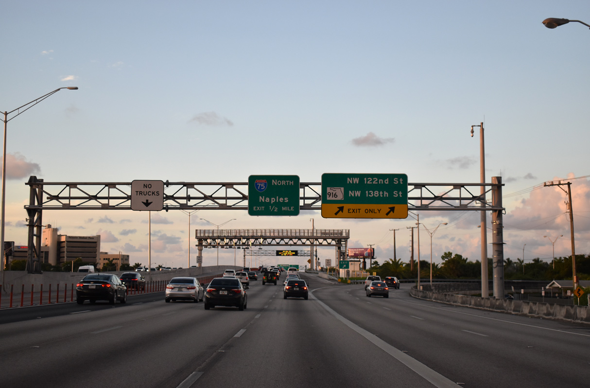
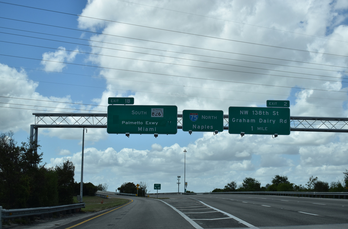
SR 826 (Palmetto Expressway) advances north through Hialeah one mile to the systems interchange with I-75 and SR 924 (Gratigny Parkway) at SR 916 (NW 138th Street). 11/17/20
West at
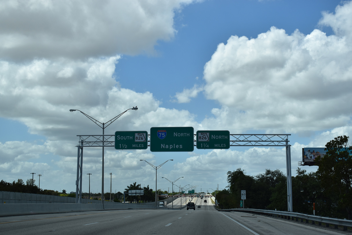
A toll collection point precedes the ramps to SR 826 (Palmetto Expressway) and transition of SR 924 (Gratigny Parkway) west onto Interstate 75 north. 03/21/20
South at
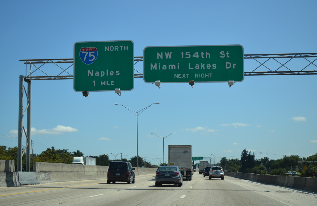
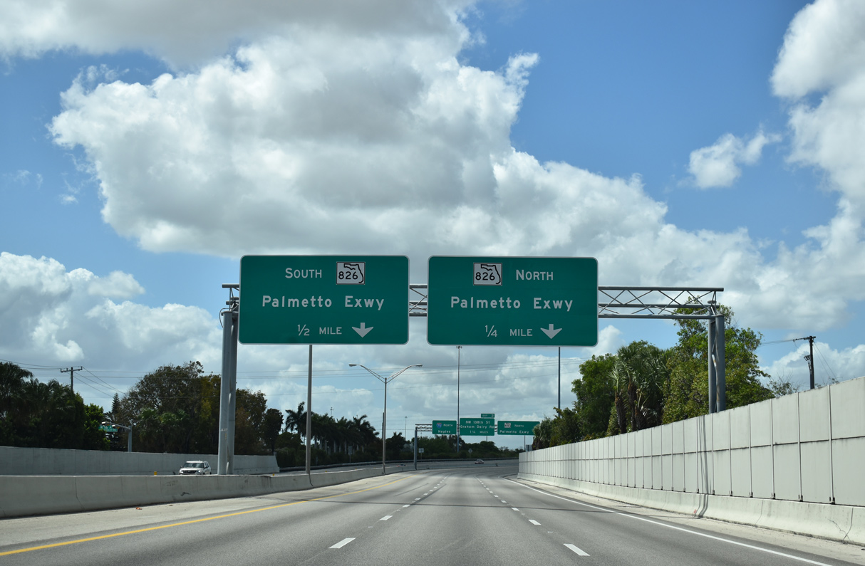
SR 826 (Palmetto Expressway) curves southward 90 degrees toward Hialeah on the approach to Interstate 75 north and SR 924 (Gratigny Parkway) east. 04/01/14
North
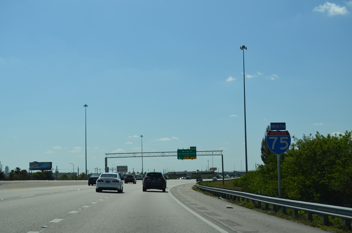
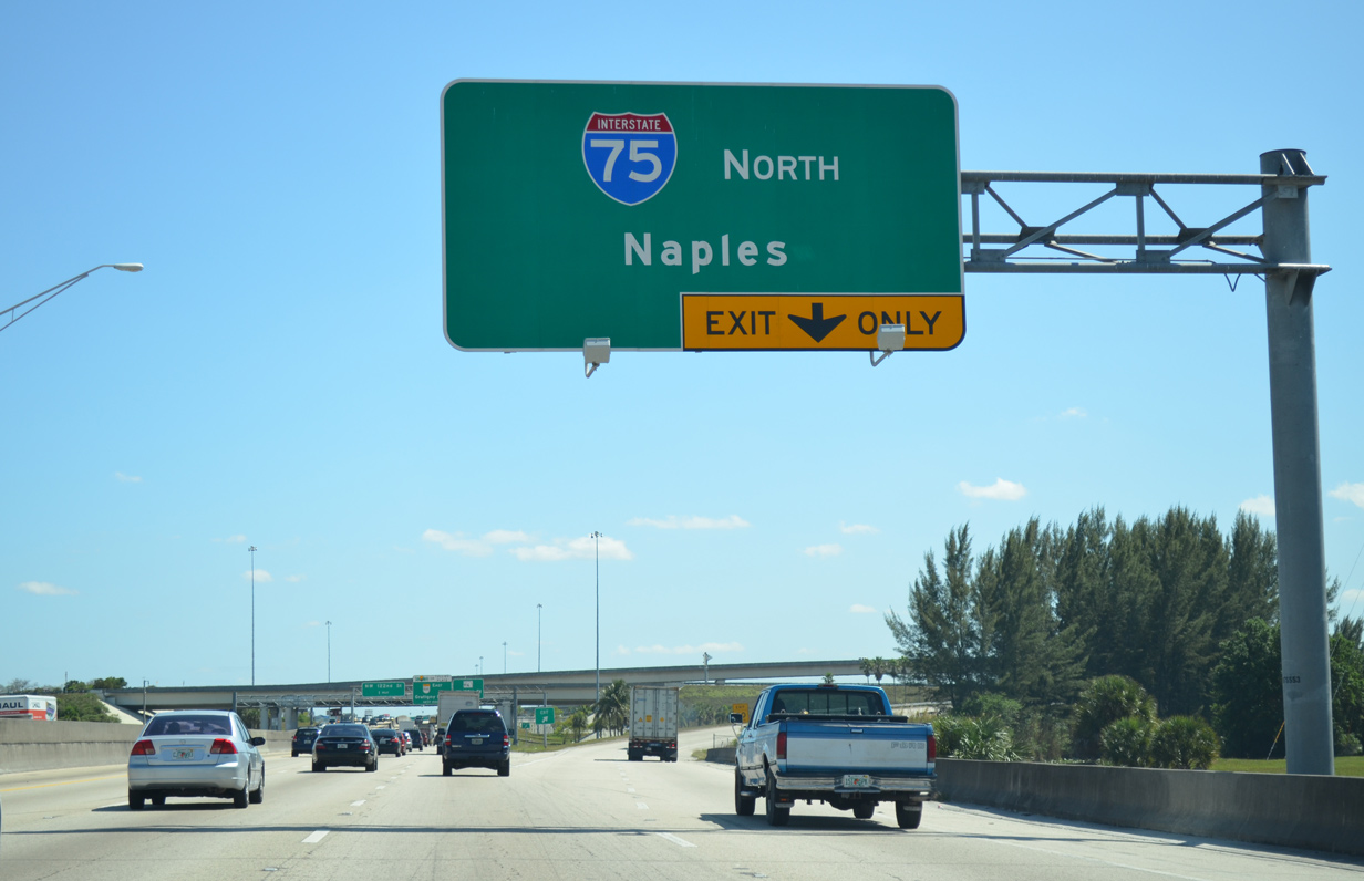
The first reassurance marker for Interstate 75 appears after the on-ramp from SR 826 south onto the ending SR 924, but before the flyover from SR 826 north. 04/01/14
South End – Past Views ‐ Hialeah, FL
Past Views Gallery (Tap to Expand / Collapse Section)
South at
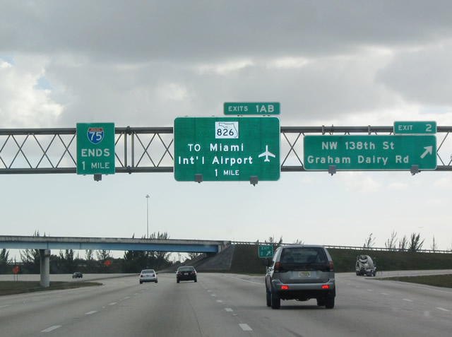
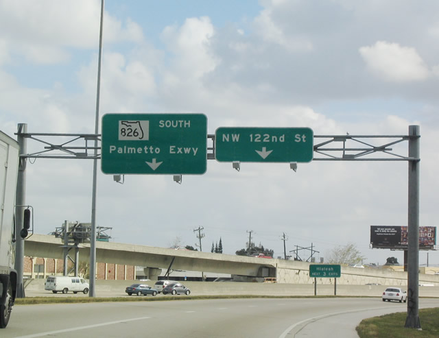
One mile ahead of the south end of Interstate 75. 12/28/03
North at
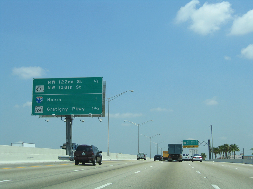
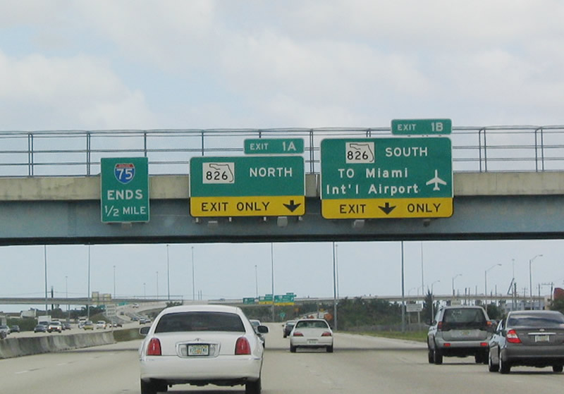
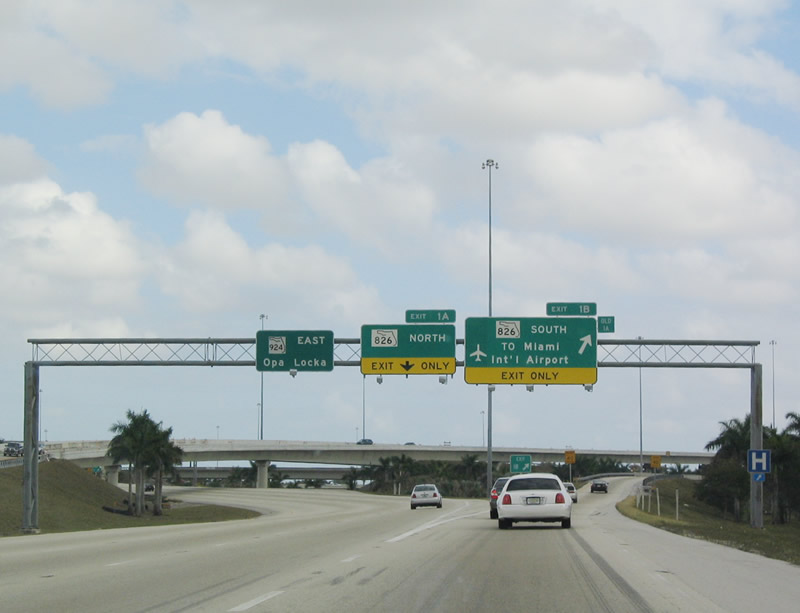
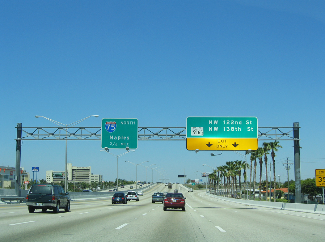
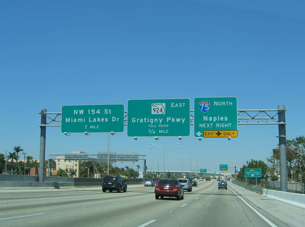
Interchange sequence signs were removed along SR 826 with the addition of the Palmetto Express Lanes. 05/06/06
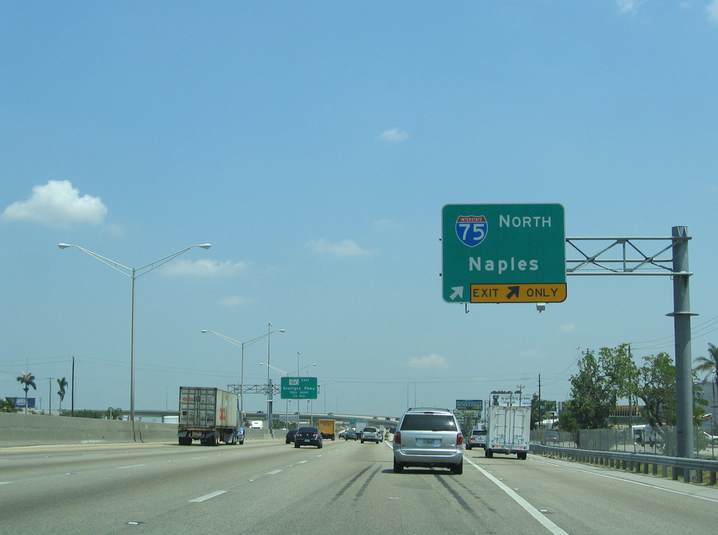
North End ‐ Canada International Border – Sault Ste. Marie, MI
North
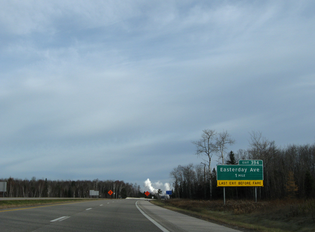
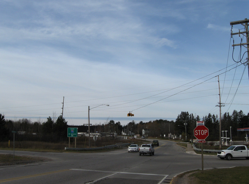
One mile south of the parclo interchange (Exit 394) with Easterday Avenue on I-75 north. 11/06/09
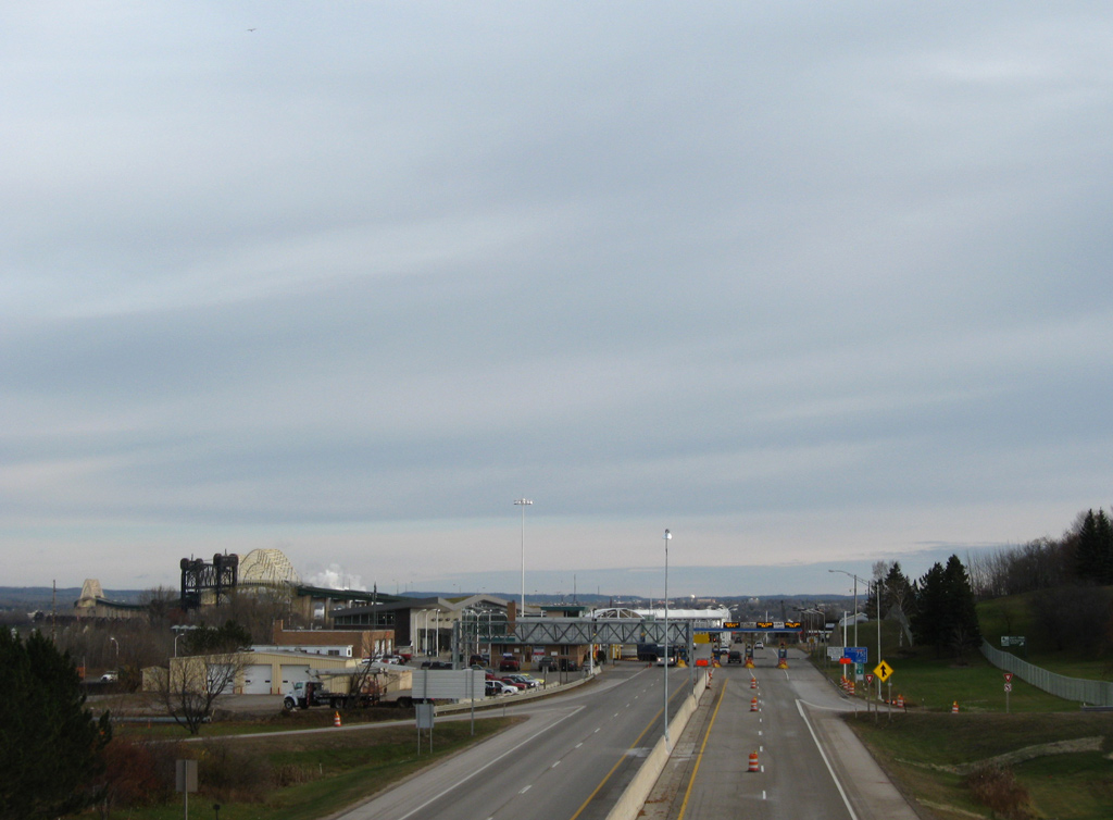
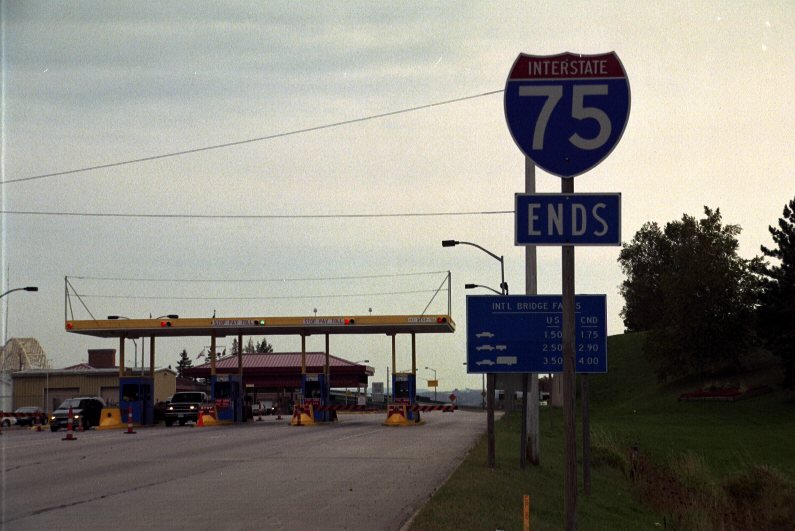
South
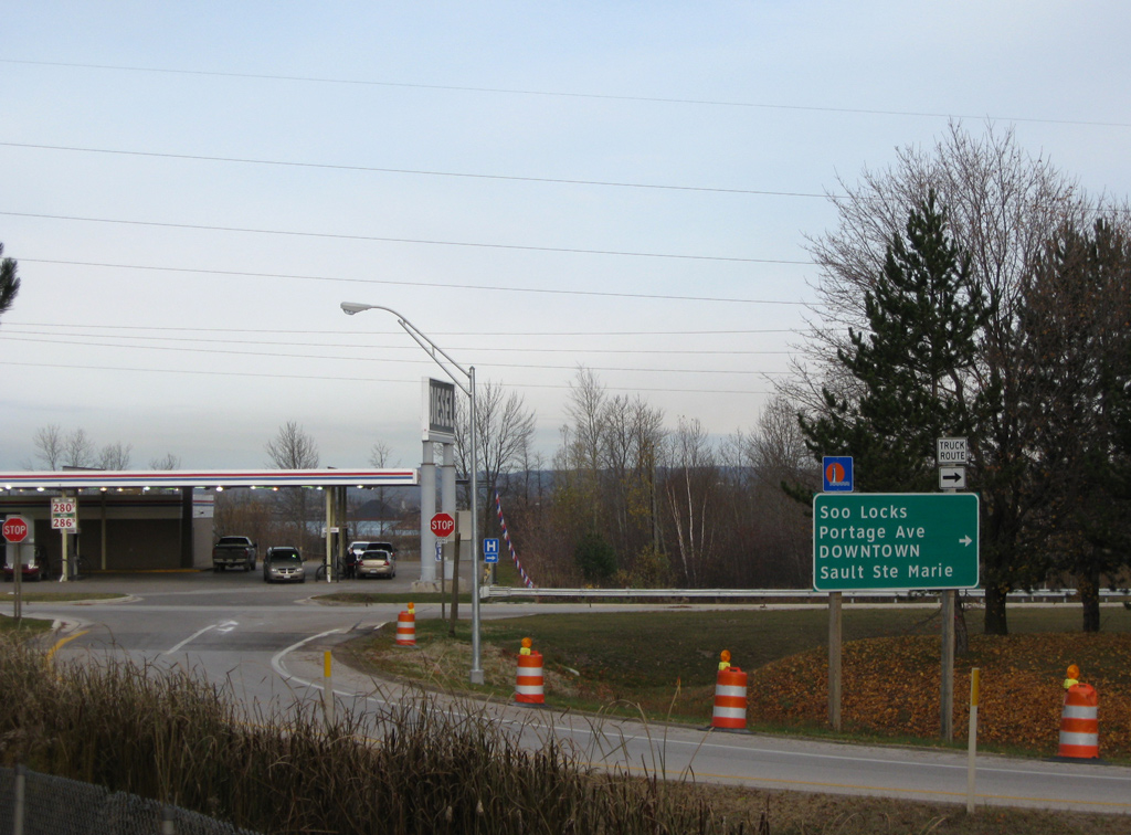
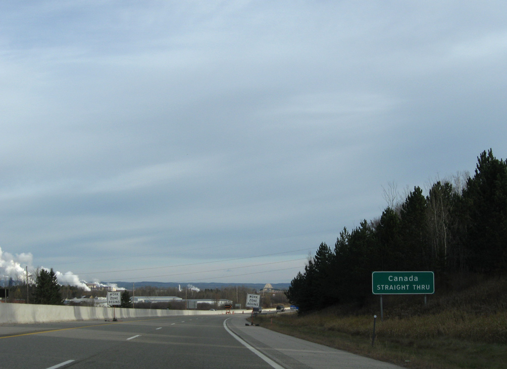
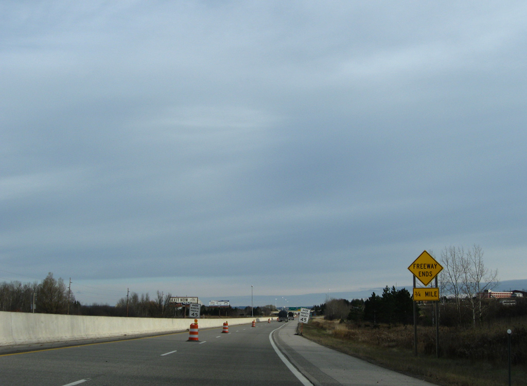
Exit 394 connects I-75 south with Portage Avenue north of Easterday Avenue. Portage Avenue heads northeast to Downtown Sault Ste. Marie, where it becomes part of Business Spur I-75 from Ashburn Street east to the Soo Locks. 11/06/09
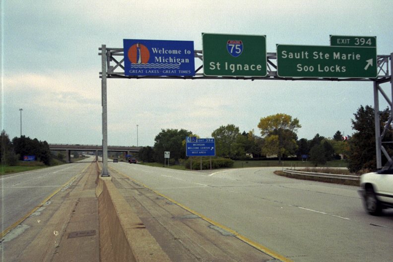
Easterday Avenue at
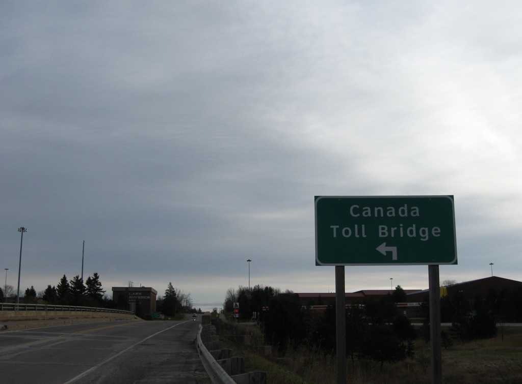
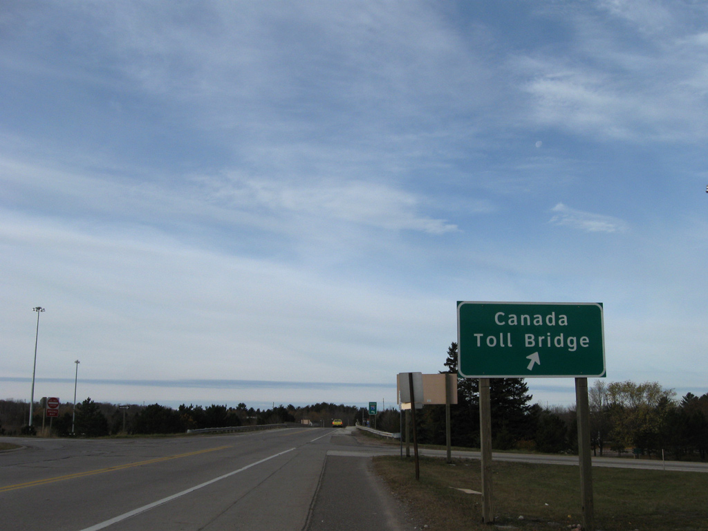
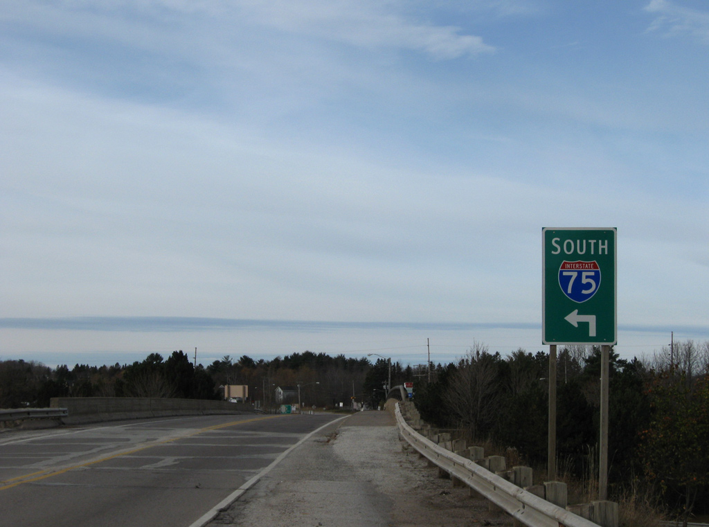
Easterday Avenue spans I-75 ahead of the northbound ramp to the International Bridge. 11/06/09
References
- "Price tag for I-75 at $1.6B." The Cincinnati Enquirer (OH), September 9, 2003.
- "Widening of I-75 now complete." Tifton Gazette (GA), April 8, 2011.
- "Interstate widening project wraps up in Macon." Macon Telegraph (GA), November 4, 2013.
- "I-75 plan with rail passes." The Cincinnati Enquirer (OH), October 10, 2003.
- "Taft plan would widen I-75, I-475." The Toledo Blade (OH), August 7, 2003.
- Jason Learned, Personal Email, "Fw: I-93 Tunnel Open in Both Directions, I-75 Florida," December 27, 2003.
- "Plans show options for Brent Spence: All six have pros and cons, all costly." The Cincinnati Enquirer (OH), January 30, 2004.
- Florida Department of Transportation (FDOT). Florida's Interstates: A Half-Century of Progress. Retrieved from http://www.fl-interstate.com
- Northwest Corridor Express Lanes in Georgia Open to Traffic. (2018, September 13). Roads&Bridges. Retrieved from https://www.roadsbridges.com/northwest-corridor-express-lanes-georgia-open-traffic
- Federal Highway Administration (FHWA). Celebrating the 50th Anniversary of the Eisenhower Interstate Highway System: Previous Interstate Facts of the Day. Retrieved from https://www.fhwa.dot.gov/interstate/previousfacts.cfm
- "Done At Last 75 - Drivers back in fast lane after 5 years - First in a series." The Kentucky post (Covington), August 20, 1994.
- "Decade-long I-75 modernization ends early, nearly $1M under budget." WHIO TV-7 (Dayton, OH), September 22, 2016.
- Ohio Department of Transportation. Thru the Valley - I-75 Widening and Reconstruction - Fastlane Application Information. Retrieved September 26, 2016 from https://www.dot.state.oh.us/districts/D08/thruthevalley/Pages/default.aspx