
Interstate 16
Overview
Interstate 16 is an intrastate route joining Macon with Savannah in southern Georgia. The primary purpose of the route is to link I-75 with the Port of Savannah to aid in the movement of goods.2 Connecting with Interstate 95 at Pooler, I-16 also provides part of a high speed route from Atlanta to the Golden Isles and Jacksonville, Florida.
The freeway originates at a directional-T interchange with I-75 at the Ocmulgee River northwest of Downtown Macon. Heading southeast, I-16 serves commuting interests to U.S. 129 (Gray Highway) and U.S. 23/80 (Coliseum Drive) before quickly leaving the Macon urban area to Lanier Heights near Macon Downtown Airport (MAC).
Beyond Macon, Interstate 16 travels a rural course south and east across forested hills in Twiggs County. Forest stands give way to some agricultural fields as the freeway nears the quad point of Bleckley, Laurens, Twiggs and Wilkinson Counties at the town of Allentown. Advancing eastward, I-16 reaches the outskirts of Dublin, the largest city between Macon and Savannah, before crossing the Oconee River.
East from the river, I-16 winds through more forest land with generous exit less stretches to the city of Metter. Passing south of there, the freeway remains unchanged in character and design, but across increasing areas of wetlands leading to Chatham County.
Suburban expansion adds commuter traffic to Interstate 16 from the Bloomingdale and Pooler areas to the original cloverleaf interchange with I-95. Construction started in mid 2019 rebuilt this exchange into a partial turbine by adding flyover ramps to replace grade level loop ramps with I-95 southbound. Underway through Fall 2025, the I-16/I-95 Improvement Project also widened I-16 to six lanes from I-95 east to I-516 and added a c/d roadway along I-95 northbound at Exit 99.
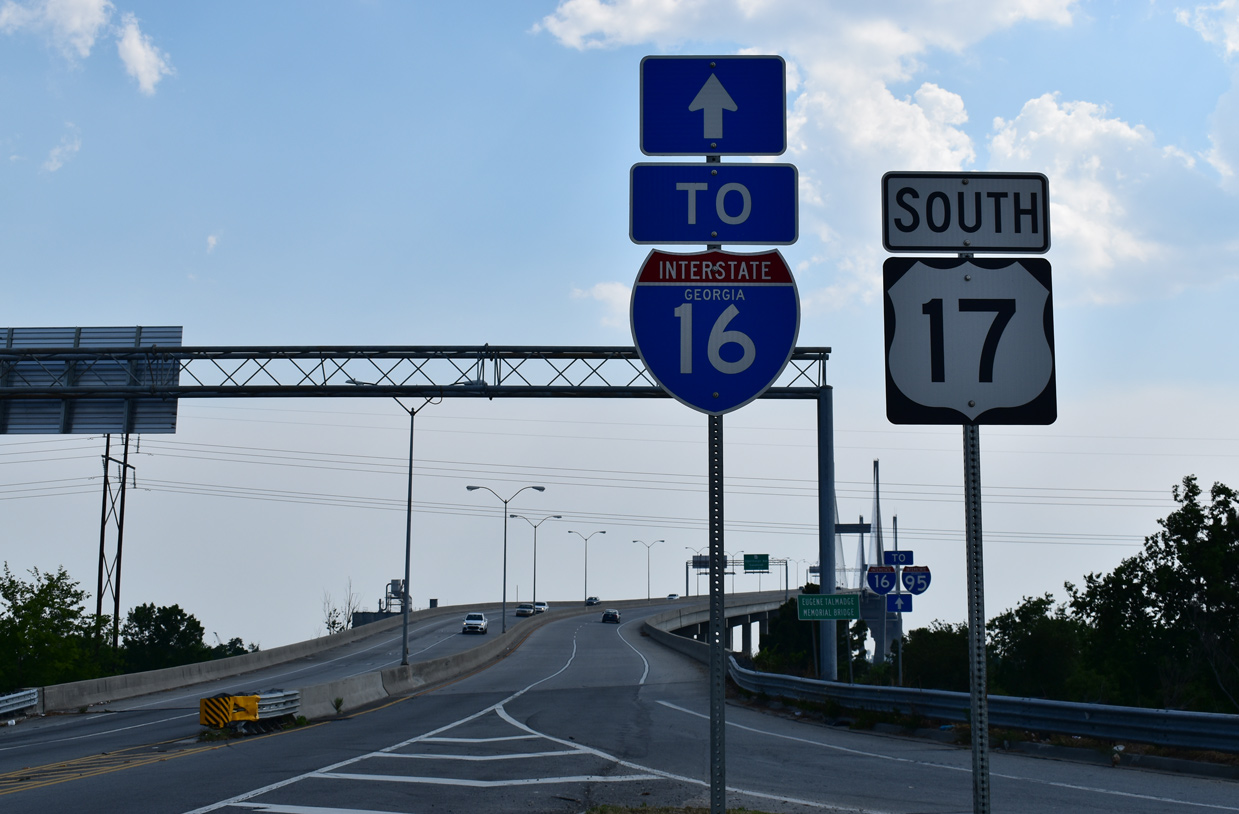
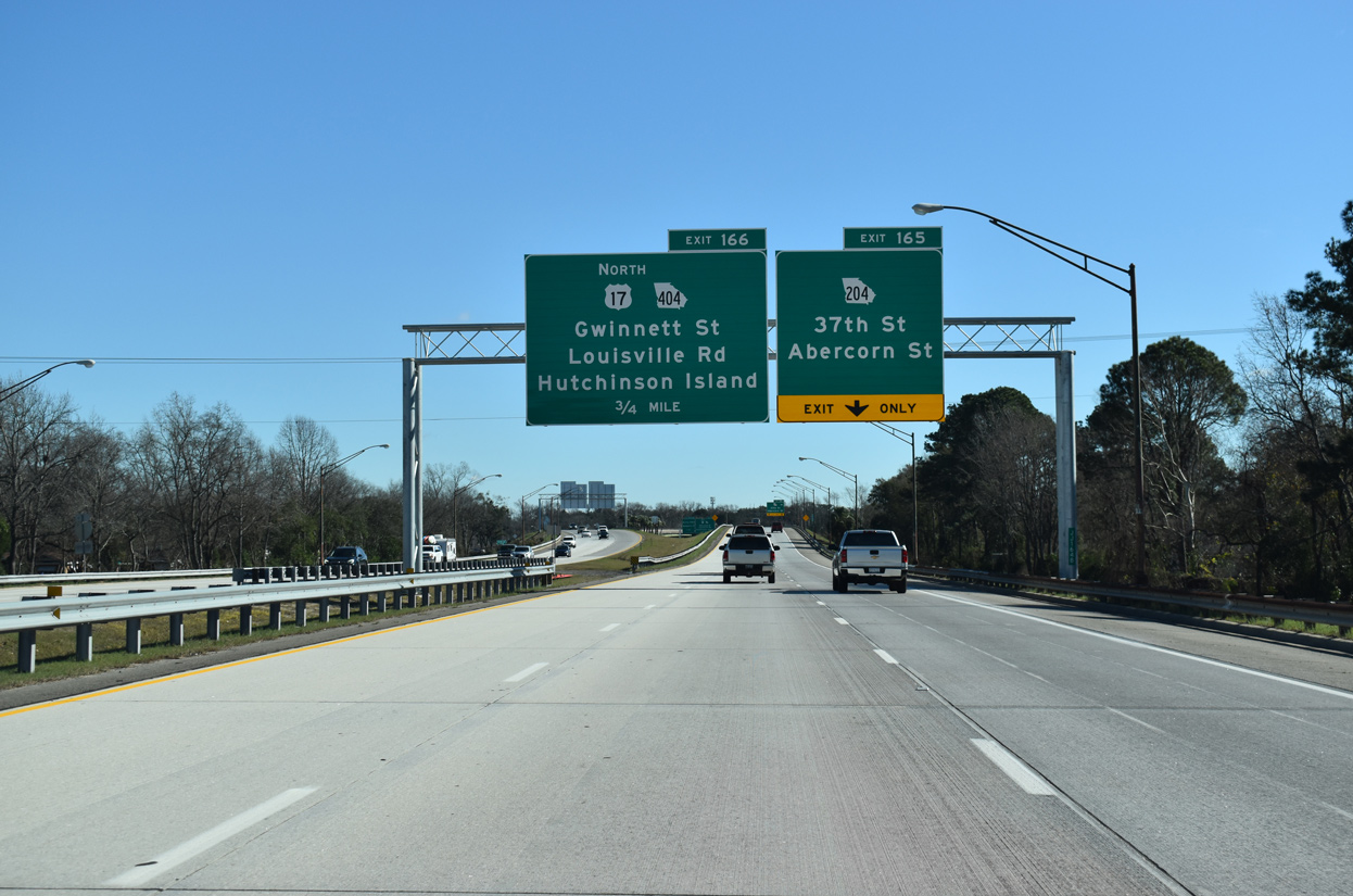
Beyond the exchange with I-95, Interstate 16 reaches the Savannah city limits, passing by industrial areas to I-516, an urban spur between Garden City, Hunter Army Airfield and Midtown Savannah. U.S. 17 combines with Interstate 16 beyond I-516 as the freeway advances east toward Historic Downtown. U.S. 17/SR 404 Spur branch north from I-16 to Hutchinson Island and the Eugene Talmadge Memorial Bridge spanning the Savannah River.
Mileage by State
| Georgia | 166.81 mi |
Data Sources
December 31, 2021 Interstate Route Log and Finders List
Parallel U.S. Routes
The easternmost segment of formerly transcontinental U.S. 80 follows the Interstate 16 corridor between Macon and Savannah. U.S. 129 Alternate also parallels the freeway south from Lanier Heights outside Macon to Bullard, while the easternmost portion doubles as U.S. 17.
I-16/I-75 Improvement Project
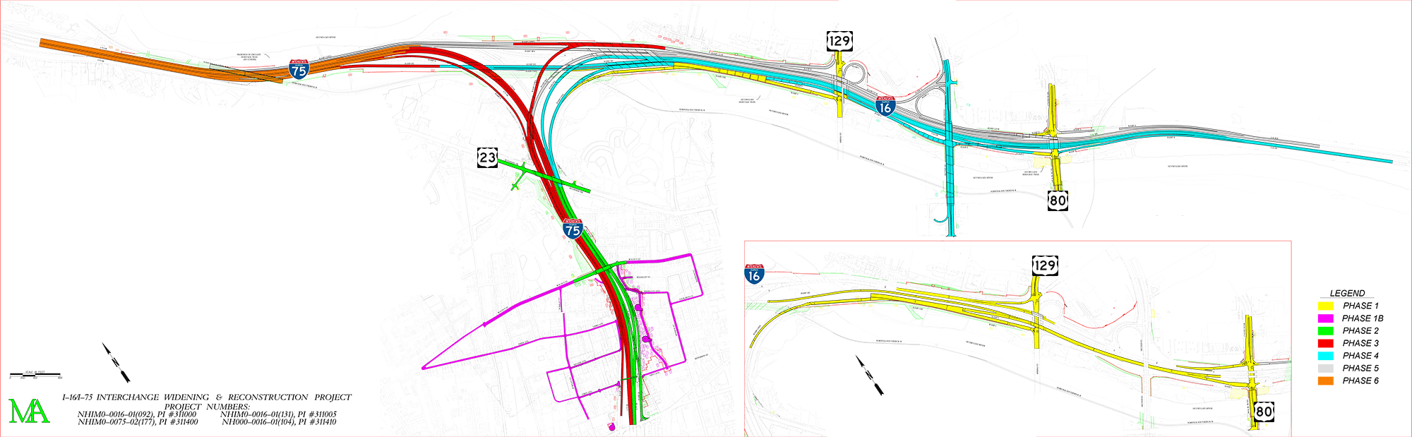
The exchange joining I-16's west end with Interstate 75 dates back to 1962. Construction upgrading it to a systems interchange commenced in Fall 2016 and extends to 2024 2030.6 The six phase project was first studied in the early 1980s with preliminary engineering in 1998. $380 million in construction4 shifts the left exit ramps from I-75 south to I-16 east and from I-16 west to I-75 south to right side ramps. Collector distributor roadways are being built along I-75 south from I-16 to U.S. 41BU/SR 19 (Hardeman Avenue / Forsyth Street) and on both sides of I-16 to Exits 1 and 2.
The GaDOT I-16/I-75 Improvement Project web site details the six phases:
- Phase 1 - Costing $63 million, the project through Summer 2021 improved 1.5 miles of I-16 eastbound from I-75 to U.S. 80. Work was completed in Spring 2023.
- Phase 1B - $12 million in mitigation improvements to the Pleasant Hill neighborhood adjacent to I-75. Work was completed in Summer 2018, but mitigation improvements continued through Winter 2025.
- Phase 2 - Operational improvements to 1.02 miles of I-75 northbound between Hardeman Avenue and the exchange with I-16.
- Phase 3 - Coupled with Phase 2 through
Winter 2021Fall 2025, $155 million in construction completes rebuilding I-75 northbound at the interchange with I-16. - Phase 4 - Bids for construction to complete the three mile rebuilding of I-16 eastbound started in phase 1 were scheduled for 2021. Work on the $231 million contract is anticipated for completion in Fall 2026.
- Phase 5 - 2.7 miles of capacity and operational improvements to westbound I-16, were scheduled for contract bidding in 2021. Construction for the $231 million contract continues to Fall 2026.
- Phase 6 - Scheduled for bidding in 2023, capacity improvements for I-75 between I-16 and Pierce Avenue (Exit 167) and construction of a 1,600 foot long Norfolk Southern Railroad tunnel under the freeway. A $135 million contract was awarded for construction started in Fall 2025.
I-16 Ramp Removal Study - Savannah
Two alternatives are being studied by the Savannah Planning Commission for the removal of the Interstate 16 spur east from U.S. 17 to Montgomery Street and Martin Luther King, Jr. Boulevard in Savannah. These must be submitted to the Federal Highway Administration (FHWA) and Georgia Department of Transportation (GDOT) for final approval. Both call for the dismantling of the freeway lanes and ramps east of U.S. 17 /SR 404 Spur with the addition of two new ramps at the partial interchange with SR 25 Spur further north. A boulevard may be built in place of the former I-16, or a new street and wye interchange from I-16.
History
The freeway at Macon was constructed between 1966 and 1968.1 Another 12.5 mile section was completed between U.S. 221 (Exit 78) and U.S. 1 (Exit 90) on December 19, 1977.2 The final section of Interstate 16, through Emanuel, Candler and Bulloch Counties, opened on September 22, 1978, completing the route between Macon and Savannah.3


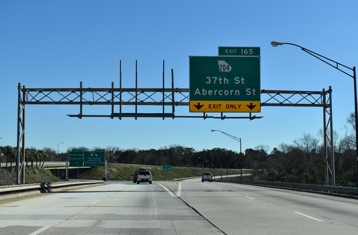
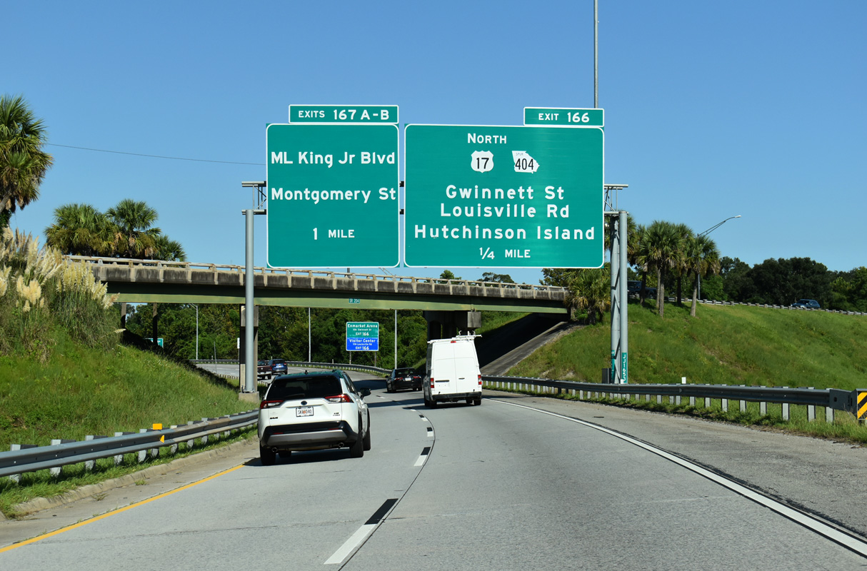
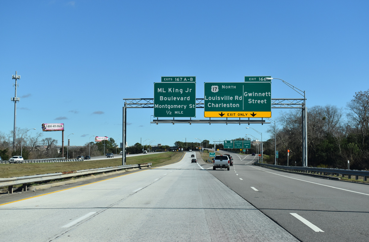
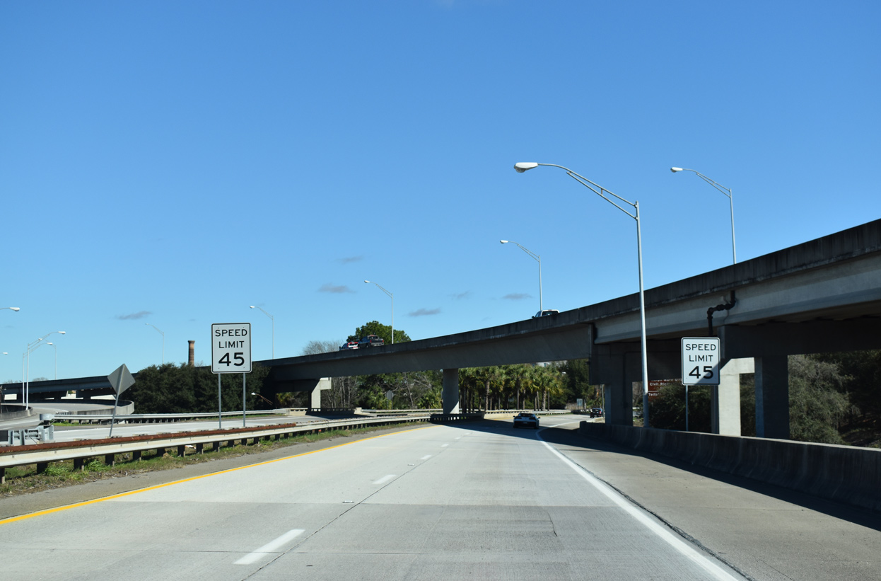
East End Montgomery St / Martin Luther King, Jr. Blvd ‐ Savannah, GA
 East at
 and Montgomery St
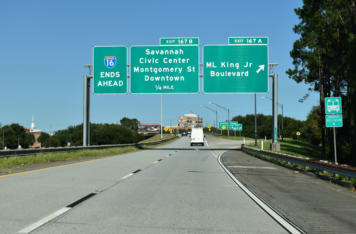
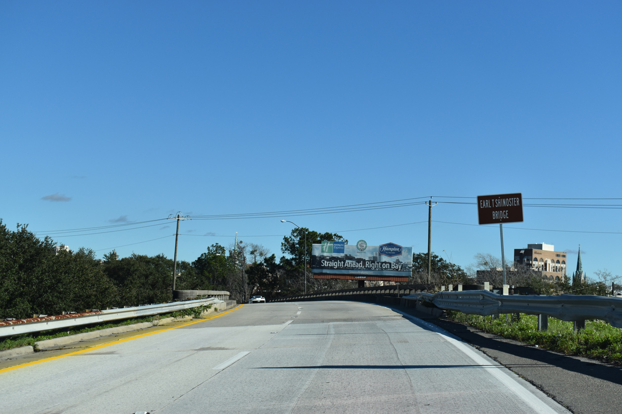
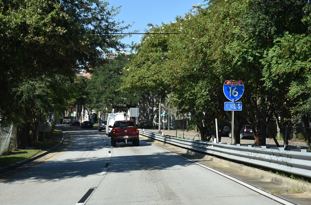
Exit 167 B follows for Gaston Street east to Dr. Martin Luther King, Jr. Boulevard. The main lanes continue northward onto Montgomery Street as Exit 167 B. 09/04/25
Martin Luther King, Jr. Boulevard south at
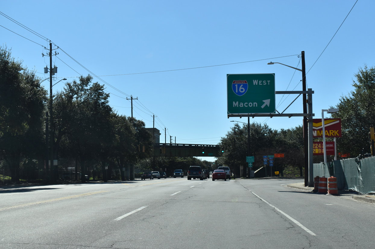
Two lanes branch away from southbound Martin Luther King, Jr. Boulevard onto Interstate 16 ahead of the traffic light with Taylor Street. 01/05/19
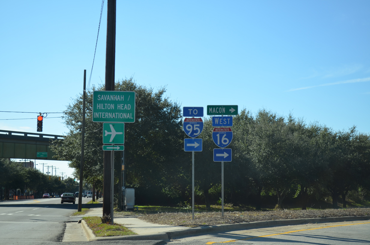
West at
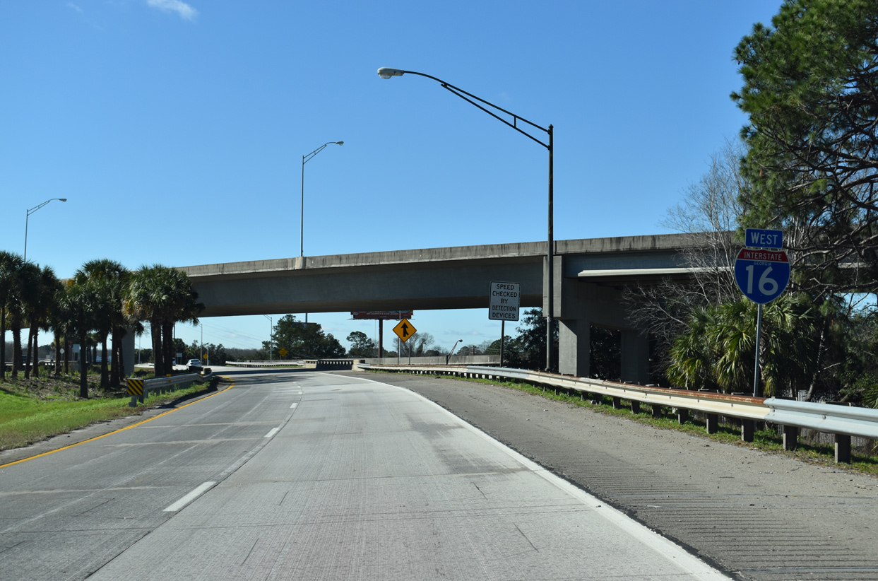
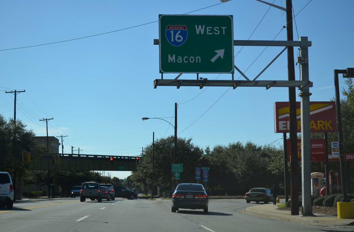
The first westbound Interstate 16 shield precedes the merge with U.S. 17/SR 404 Spur west. There are no westbound off-ramps until Exit 164 to I-516/U.S. 80-SR 21/25. 01/05/19
South at
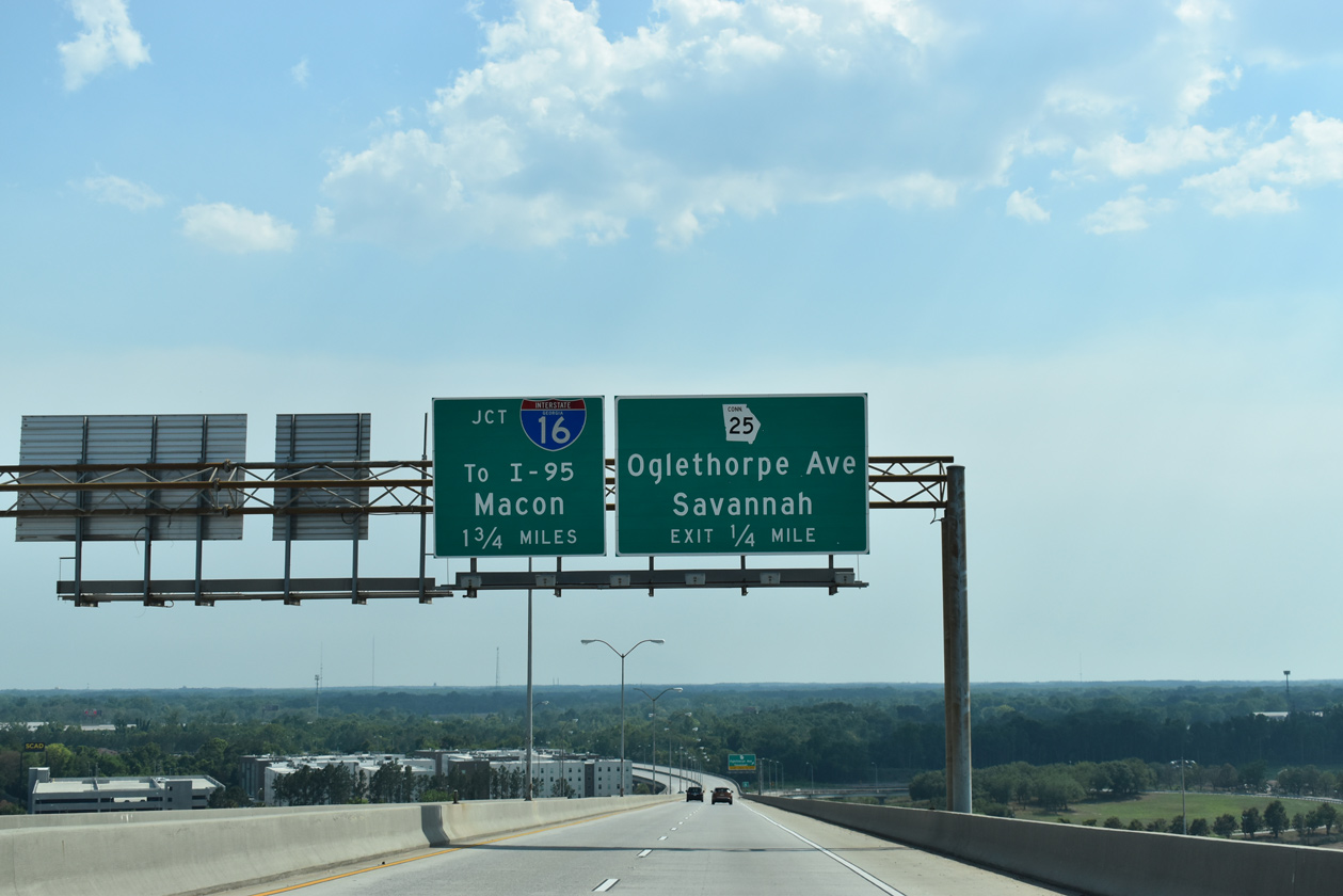
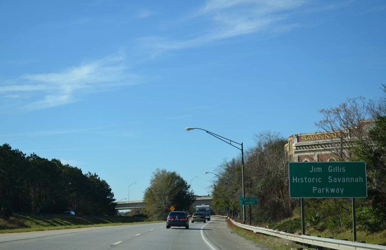
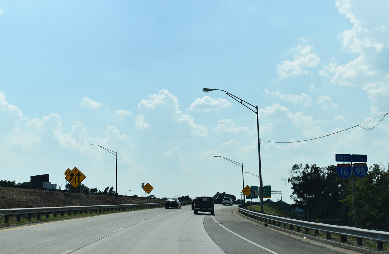
Lowering from the Eugene Talmadge Memorial Bridge, U.S. 17/SR 404 Spur south advance to a loop ramp for SR 25 Spur (Oglethorpe Avenue) for Downtown Savannah. The freeway defaults onto I-16 west in 1.75 miles. 05/26/19
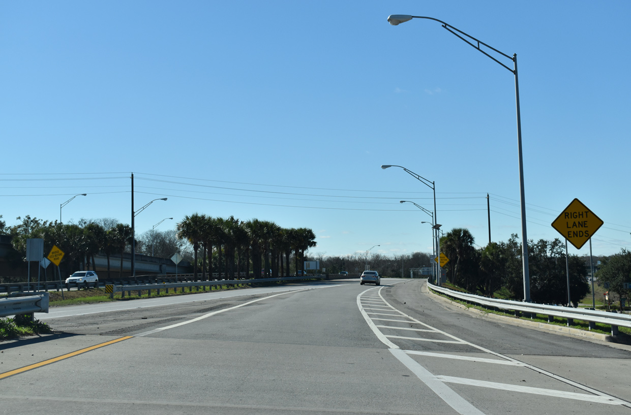
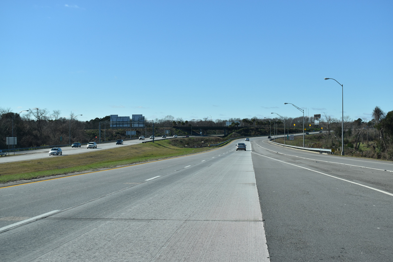
East End – Past Views ‐ Savannah, GA
Past Views Gallery (Tap to Expand / Collapse Section)
East
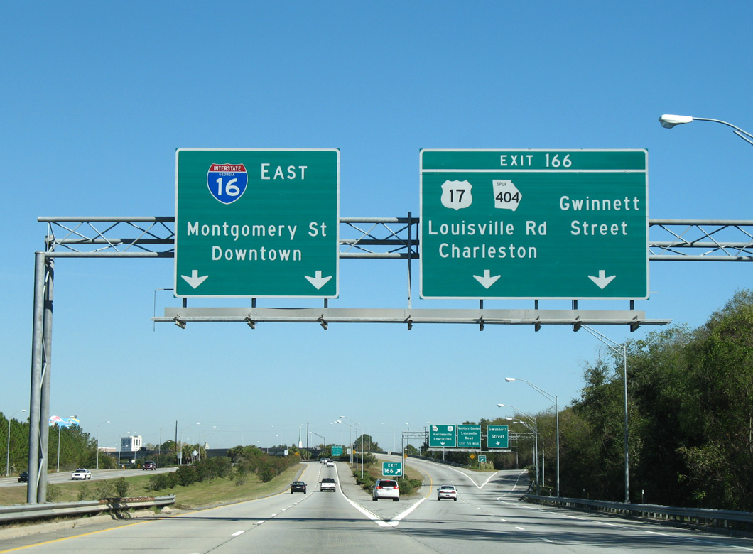
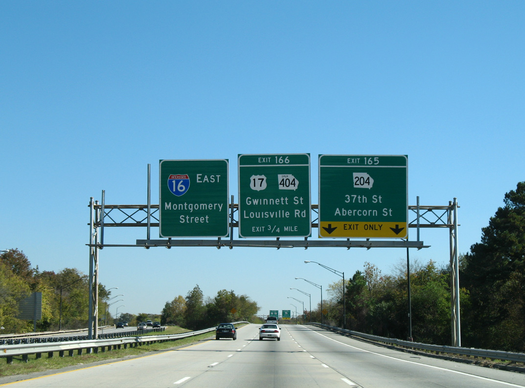
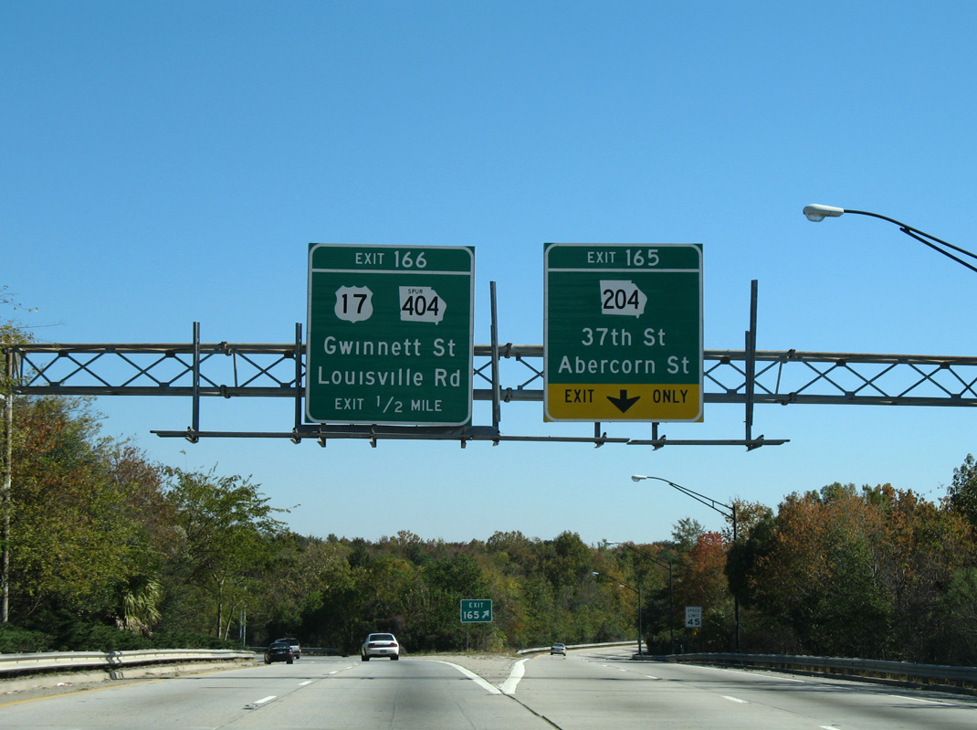
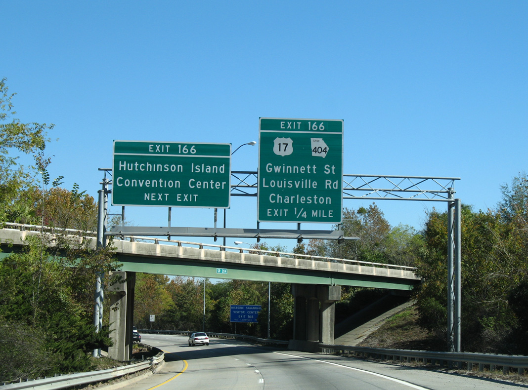
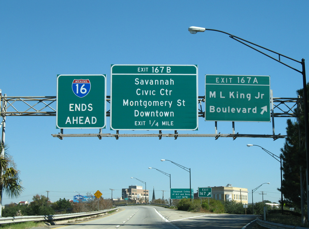
All guide signs along Interstate 16 eastbound from I-516 to Downtown Savannah were replaced by 2018. 11/13/06
West End 
 ‐ Macon, GA
West at
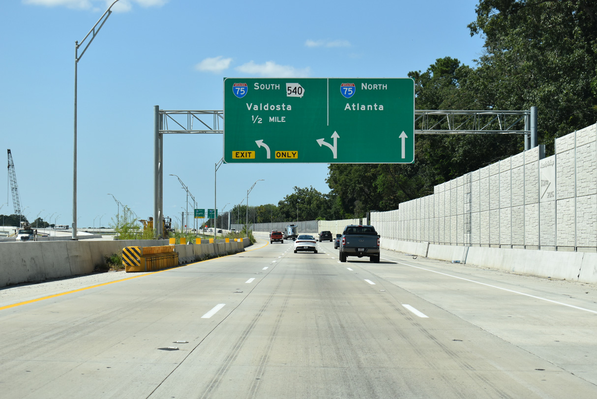
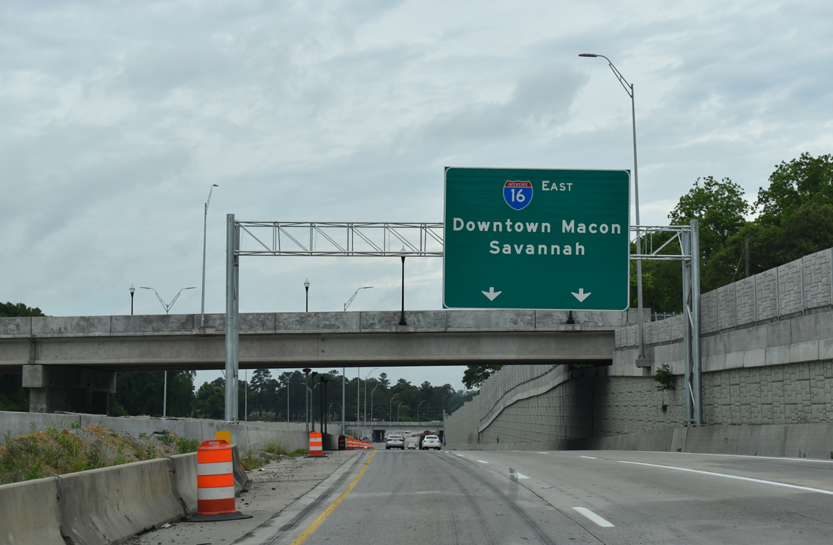
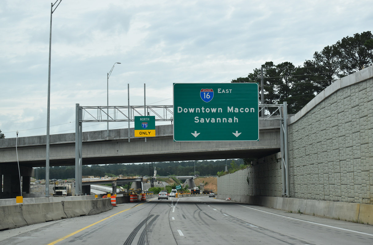
SR 540 (Fall Line Freeway) appears on APL signage for I-75 south installed by December 2021. The eastbound c/d roadway takes shape during Phase 3 construction of the I-16/I-75 Interchange Improvement Project. Phases 4/5 rebuild the main roadways for I-16 between Walnut Creek and I-75. 09/07/25
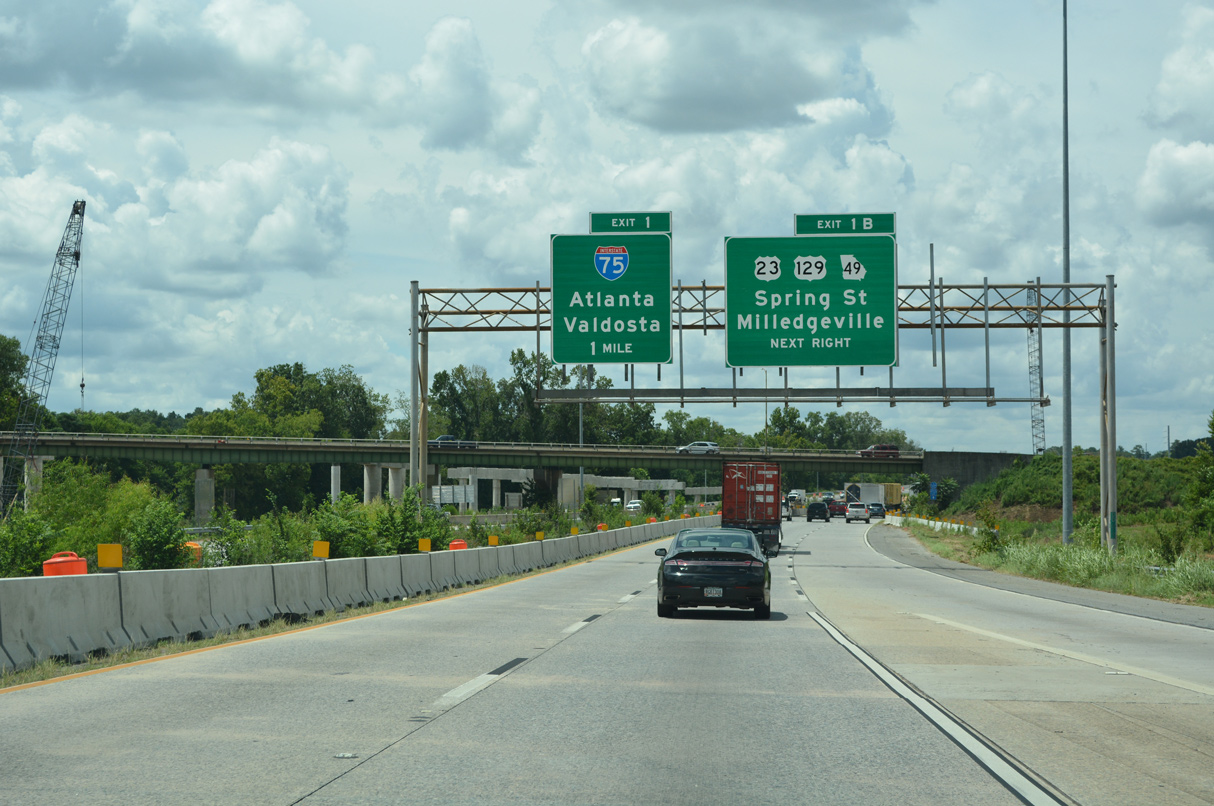
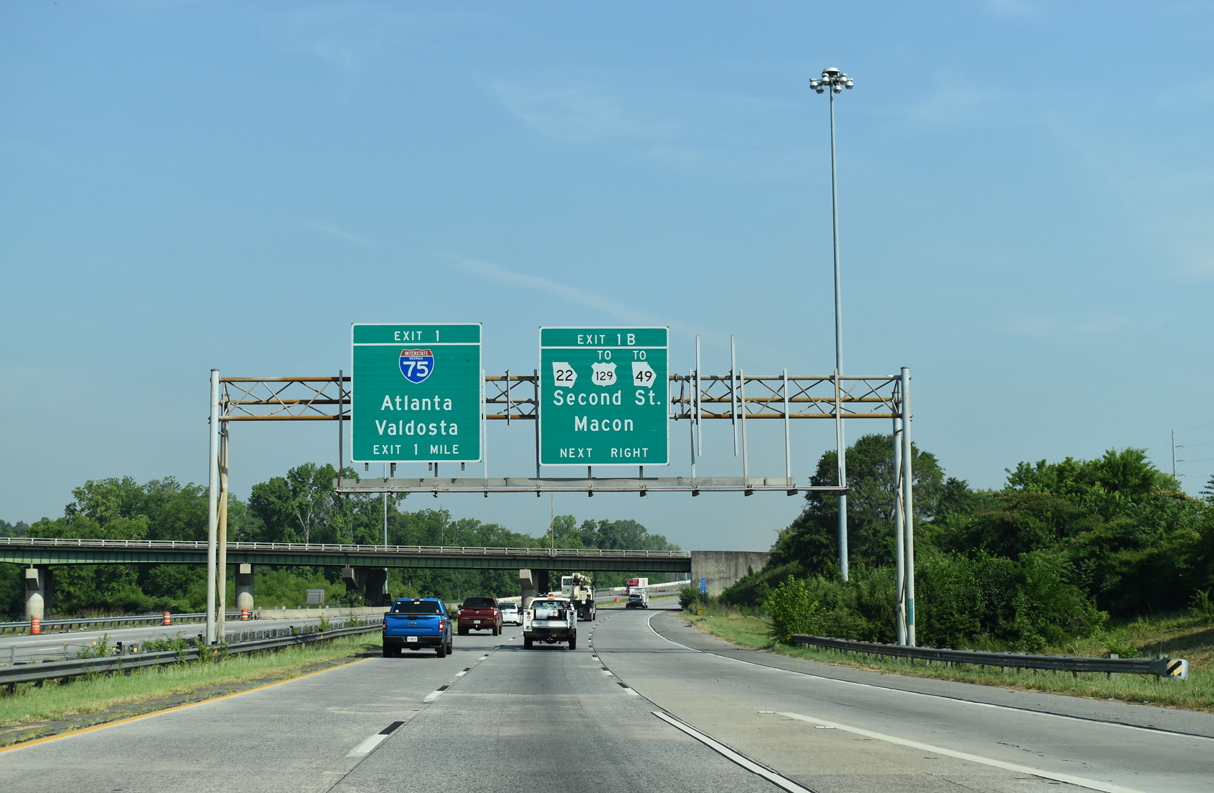
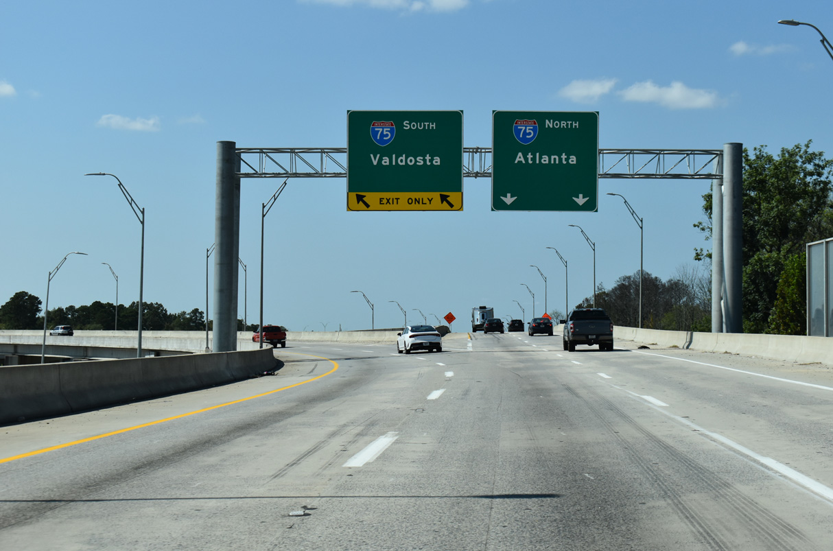
South at
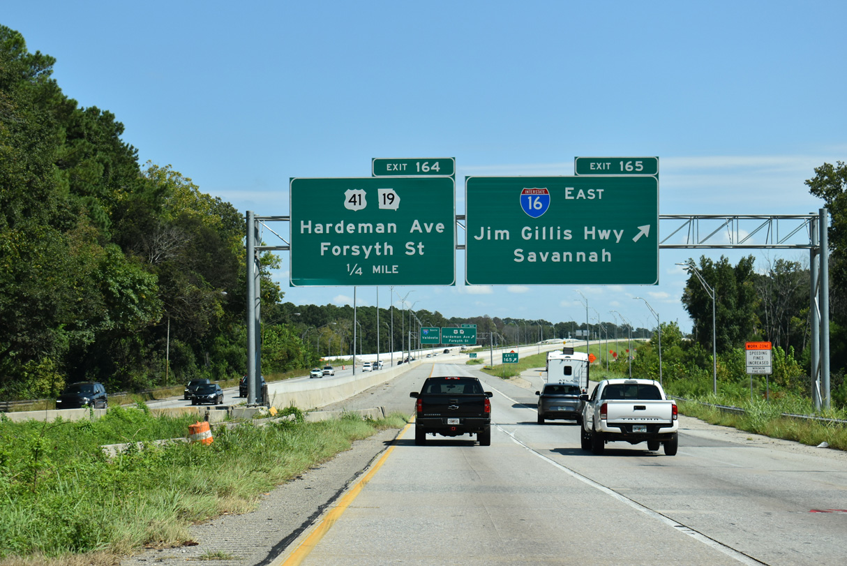
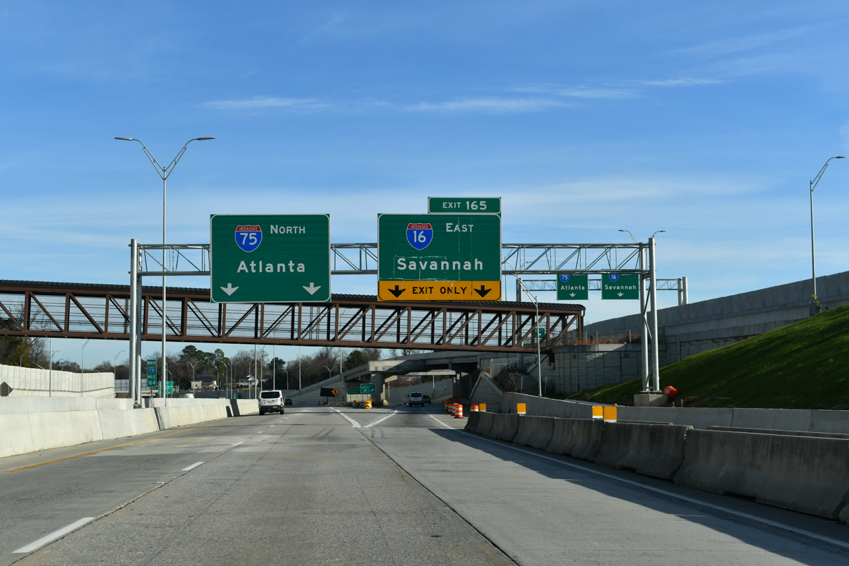
A c/d roadway for U.S. 41BU/SR 19 separates from I-75 south at Exit 164, just beyond the ramp to Interstate 16 east. The c/d roadway system was constructed as part of the I-16/I-75 Improvement Project. 09/07/25
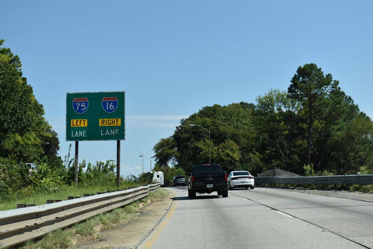
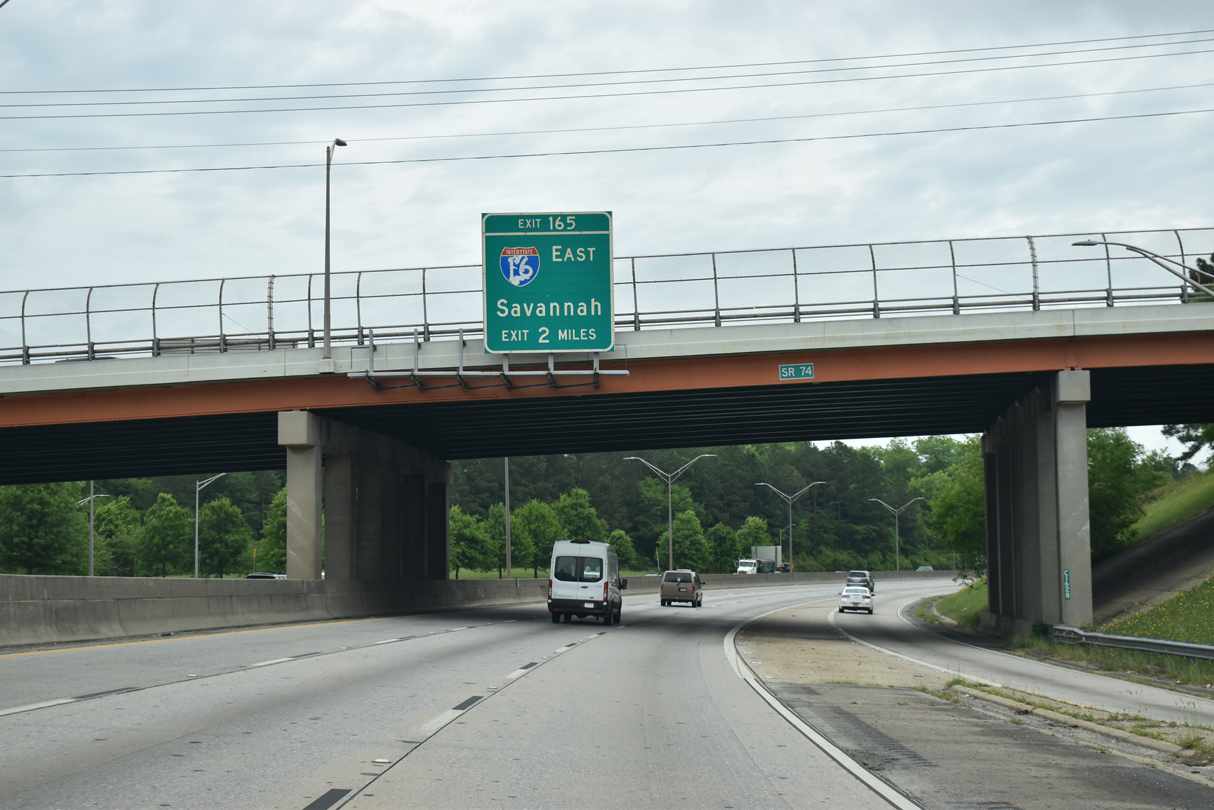
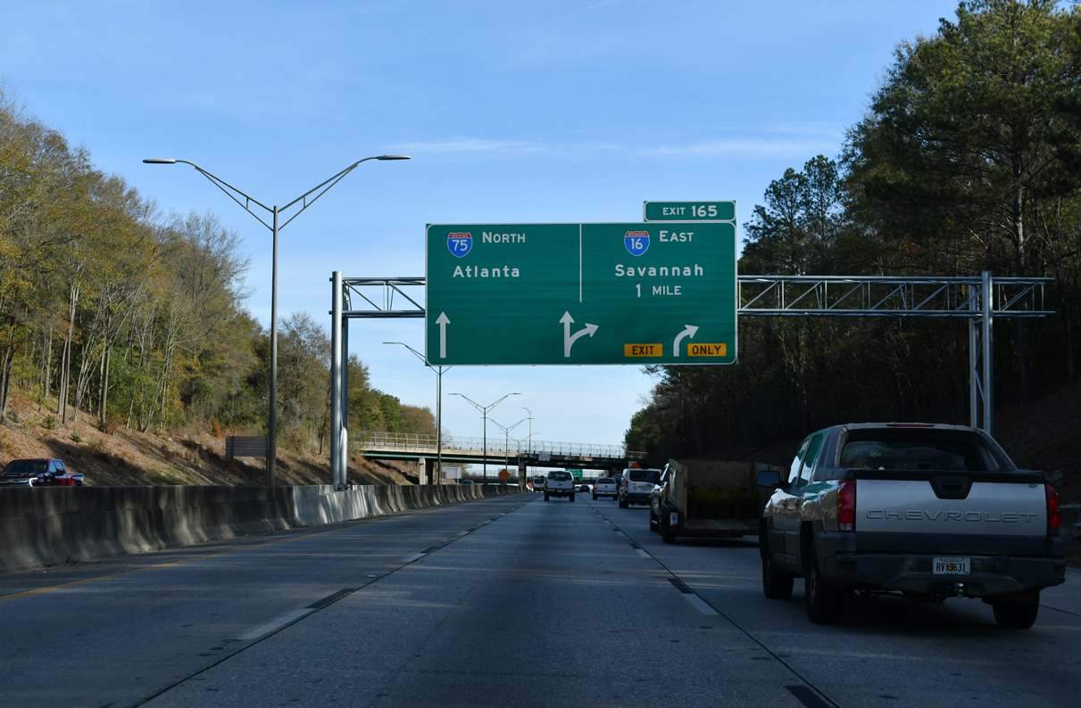
North East at
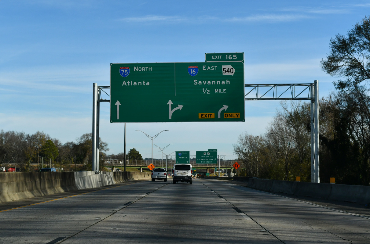
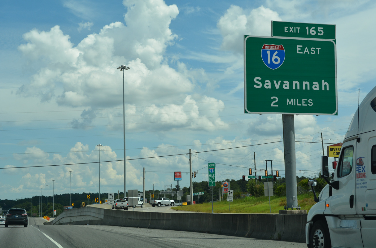
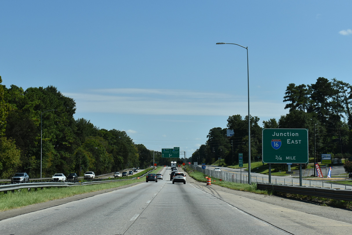
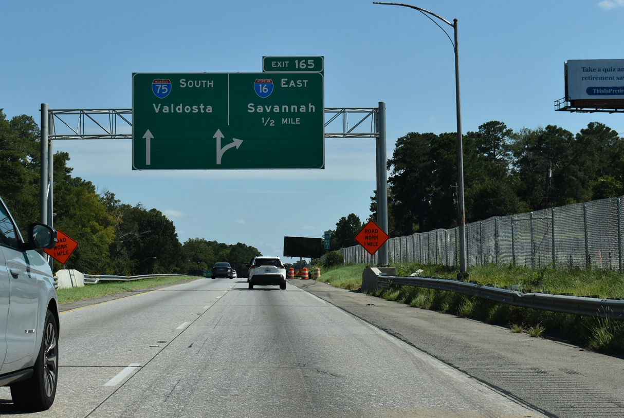
Interstate 75 travels a half mile north from a split diamond interchange with U.S. 41BU (Forsyth Street / Hardeman Avenue) to the exchange with I-16 east. 12/20/23
West End – Past Views ‐ Macon, GA
Past Views Gallery (Tap to Expand / Collapse Section)
West at
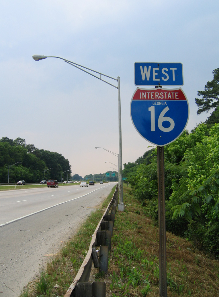
The final Interstate 16 west shield assembly appeared just after the entrance ramps from U.S. 23-129/SR 49. 05/28/05
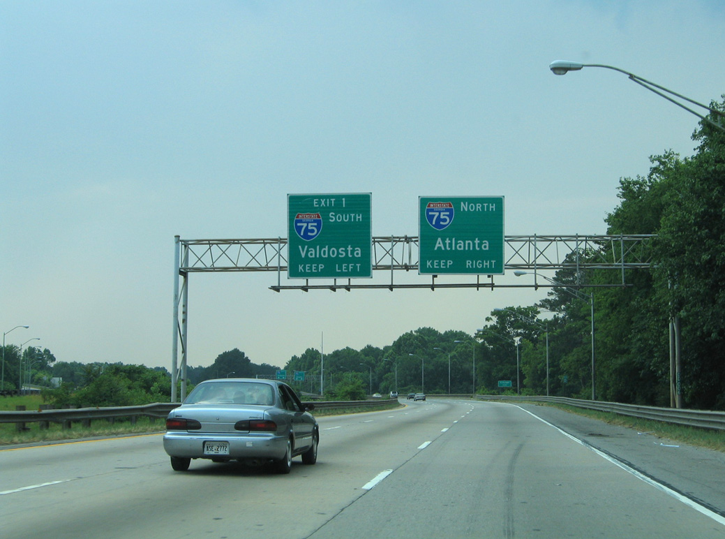
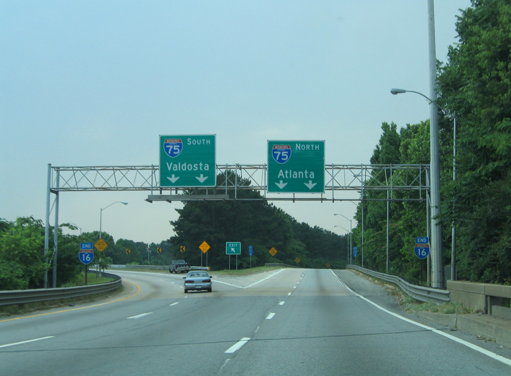
South at
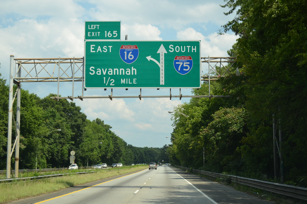
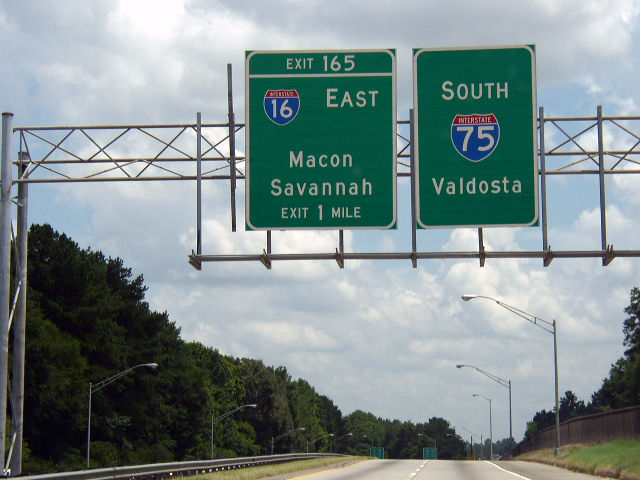
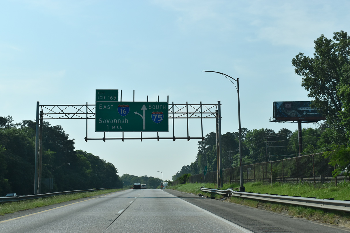
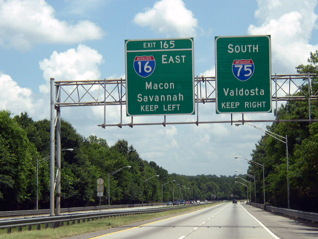
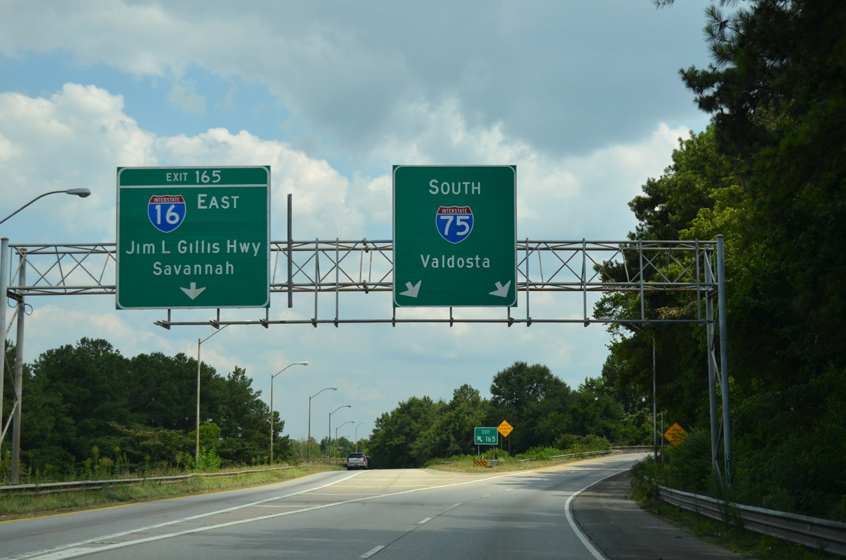
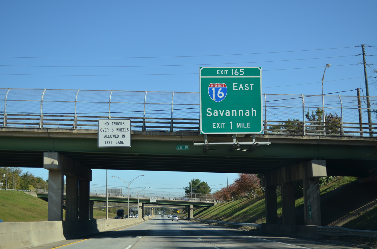
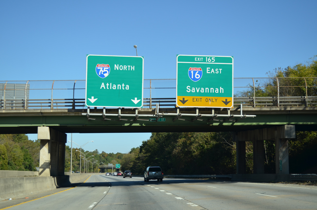
A second diagrammatic sign preceded Left Exit 165 for Interstate 16. Two interchanges connect I-16 with Downtown Macon before the rural drive east to Savannah. 07/05/14
North at
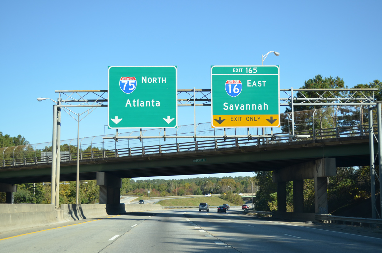
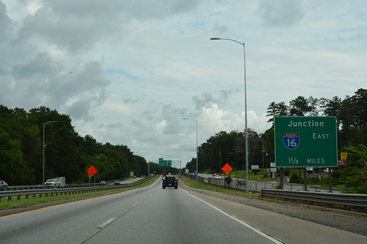
I-75 leading north to the exchange with I-16 prior to interchange reconstruction. 11/07/14
References
- "10 events that shaped our region." Macon Telegraph, September 30, 2012.
- Interstate 50th Anniversary Fact of the Day. "On September 22, 1978, the final segment of I-16 in Georgia – specifically the 25.5 miles spanning Emanuel, Candler, and Bulloch Counties in the Peach State – was opened to traffic. Altogether, that 166.81-mile-long highway stretches from Savannah on the Atlantic coast to I-75 at the city of Macon. The route has the distinction of being only one of 13 two-digit highways in the Interstate System that are both continuous and located only within a single state. Officially named the James Gillis, Sr., Memorial Highway after a longtime Georgia Highway Department director, I-16 is also both an important economic corridor and vital hurricane evacuation route." Retrieved from http://www.interstate50th.org/history/2006-09-22.shtml
- "Completion near for interstate road systems," Rome News-Tribune, November 14, 1977.
- "I-16/I-75 Interchange construction to start fall 2016." 13WMAZ, November 12, 2015.
- "Interstate 16/75 Project Changes as Bridges, Lanes Close." Macon Telegraph, The (GA), October 20, 2021.