
Interstate 72
Overview
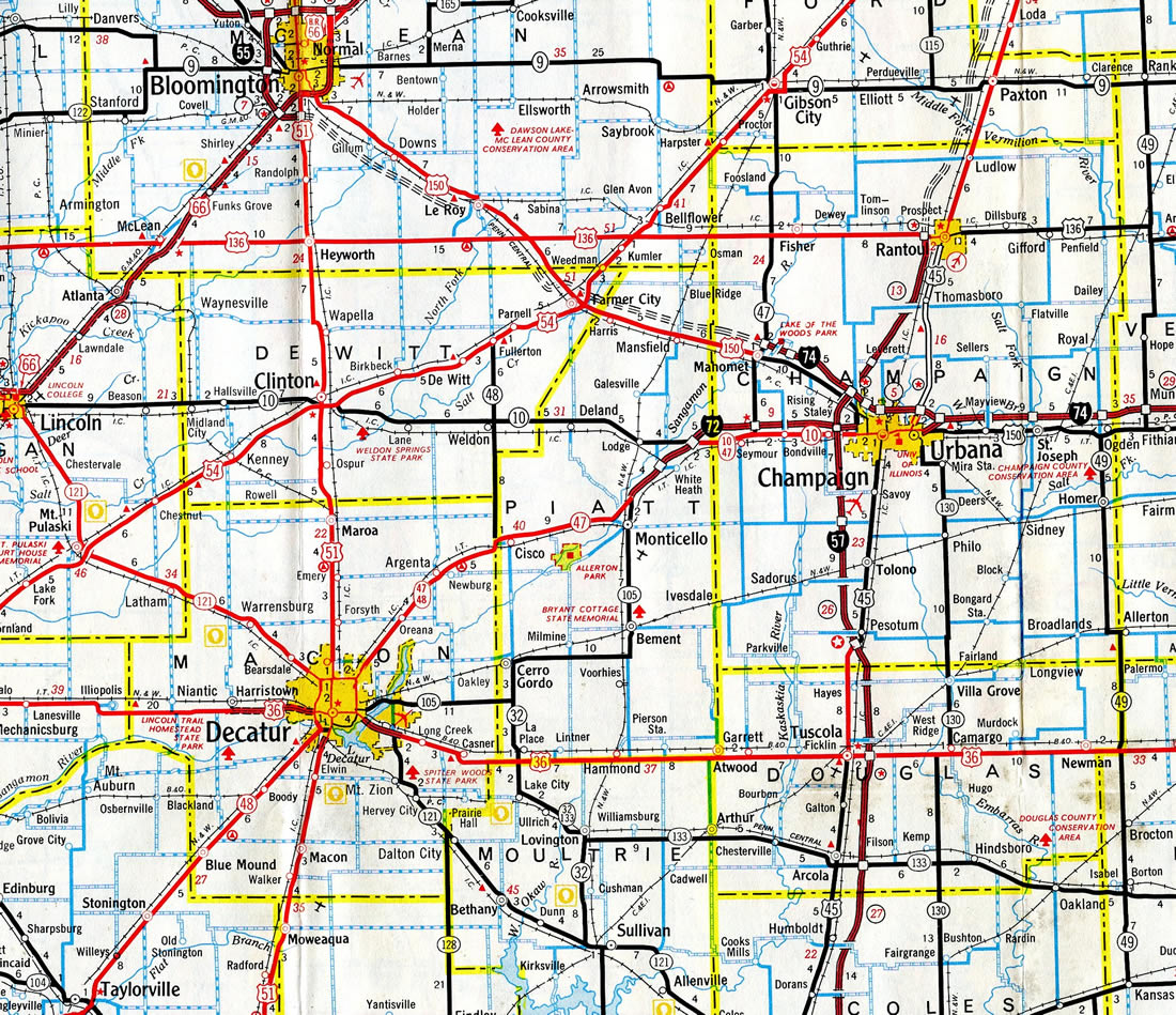
Interstate 72 stretches across central Illinois from Hannibal, Missouri to Champaign-Urbana along a mostly rural route. Prior to 1995, the freeway comprised just an 80 mile long route east from Springfield to Decatur and Champaign. The Central Illinois Expressway (U.S. 36) extended the route west to Quincy. This included designating a business loop through Jacksonville.
Illinois Route 110 and Missouri Route 110, collectively the Chicago-Kansas City (CKC) Expressway, overlap with Interstate 72 east from U.S. 36 and Hannibal to I-172 north. Designated in 2010, the expressway follows a series of preexisting routes from I-35/435 outside Kansas City to the Jane Byrne (Circle) Interchange joining I-290 with I-90/94 in Chicago, Illinois.
I-72 ends at U.S. 61 (Avenue of the Saints) in Hannibal, but further lengthening was proposed by Marion County. The five item transportation list finalized by the County Commission on February 16, 2016 added the upgrade of U.S. 36, from the Mark Twain Memorial Bridge across the Mississippi River, to the split of U.S. 24/36 near Rocket Plaza, as a priority. Citing potential benefits including economic development and marketing of Hannibal Lakeside Industrial Park, the Commission advocated extending Interstate 72 west approximately seven miles.1 The proposed extension was also a topic of discussion at the Missouri Highways and Transportation Commission monthly meeting held in Hannibal on September 1, 2016.2
The Federal Highway Administration (FHWA) denied the Missouri Department of Transportation request to lengthen I-72 west to U.S. 24 in February 2017. FHWA cited rules that Interstates must end at other Interstates, despite I-72 currently ending at U.S. 61. When the Mark Twain Bridge opened in September 2000, U.S. 61 was the best end point option available for Interstate 72. Since the bridge met Interstate standards, FHWA approved the 1.75 mile extension into Missouri.6
U.S. 36 is a controlled access expressway west to Cameron. This corridor is also a part of Missouri Route110 (CKC). If the Hannibal Expressway gets built around the west side Hannibal, estimated to cost $38 million per a 2007 study, then FHWA may approve extending Interstate 72.6 Not funded for construction, the potential location for the bypass linked with the interchange joining U.S. 36 and U.S. 24 near Rocket Plaza.
Mileage by State
| Missouri | 2.04 mi |
| Illinois | 177.25 mi |
Data Sources
December 31, 2021 Interstate Route Log and Finders List
Parallel U.S. Routes
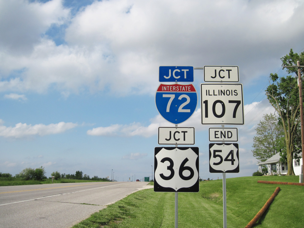
Interstate 72 overlaps with U.S. 36 from Hannibal, Missouri east to Decatur, Illinois. U.S. 51 joins the route to bypass Decatur, with I-72 traveling independent of a US highway eastward from Exit 141 to Champaign.
History
Interstate 72 was completed between Springfield and Champaign in November 1976. Planned since the early 1960s, the Central Illinois Expressway portion of I-72, from Interstate 55 west to Hull, opened to traffic on November 22, 1991.3 Signing of the route as I-72 commenced within a week of April 27, 1995.4
Illinois first proposed the designation of Interstate 172 for the Central Illinois Expressway between IL 336 near East Hannibal and I-55 at Springfield. The American Association of State Highway and Transportation Officials (AASHTO) Route Numbering Committee approved the establishment of I-172 on June 9, 1991, with it subject to both Federal Highway Administration (FHWA) approval and completion of the route. The FHWA however preferred to designate this route as an extension of I-72. Due to this change, Interstate 172 was moved to the IL 336 freeway spurring north from the proposed I-72 to Quincy and U.S. 24. AASHTO approved both routes on April 22, 1995.
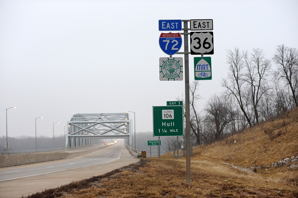
Part of the extension of Interstate 72 included the construction of the Mark Twain Memorial Bridge across the Mississippi River. The steel truss bridge was dedicated on September 16, 2000. The following bridge facts were based on information distributed by the "Hannibal Bridge Dedication Steering Committee":
- Estimated cost: $51.45 Million.
- Overall length: 4,491 feet; Overall Width: 85 feet and eight inches (including four twelve foot travel lanes, ten foot outside shoulders, six foot inside shoulders, and a concrete traffic barrier in a three foot wide median).
- The Missouri approach consists of continuous composite prestressed concrete girders: two are 85 feet long, one is 170 feet long, and the second is 105 feet long.
- The Illinois side consists of the same type of girders over wetlands: six are 220 feet long, 12 are 130.5 feet long, one is 151 feet long (steel plate girders), one is 218 feet long (steel plate girders), and one is 145 feet long (steel plate girders).
- The new bridge is located halfway between the existing bridge (old U.S. 36) and the railroad bridge to the north. It is at River Mile 309.6.
- 11,000 vehicles traverse it daily.
- The bridge is designed for seismic forces.
- The main truss span is 89 feet wide and 640 feet long.
Exit numbers in Missouri reflect the distance to the interchange joining U.S. 36 with Interstate 35 at Cameron, where Route 110 (CKC) turns south. There are no plans to extend Interstate 72 west from Hannibal all the way to I-35 or to Interstate 29 at St. Joseph. An $80 million project upgraded 52 miles of U.S. 36 west from Hannibal. The four lane expansion started in September 2005 with preliminary design work. Spanning four counties, the project was finished in the following order:5
- Hannibal west to Monroe City - August 7, 2009.
- Monroe City west to Shelbina - June 17, 2010.
- Shelbina to Macon - August 16, 2010
East End  / Church Street / University Avenue ‐ Champaign, IL
 East at University Ave
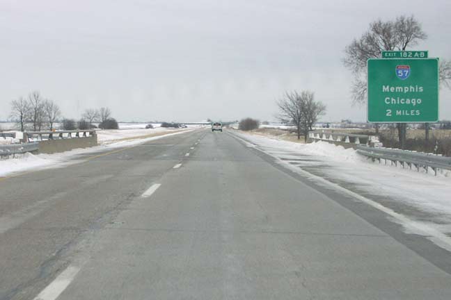
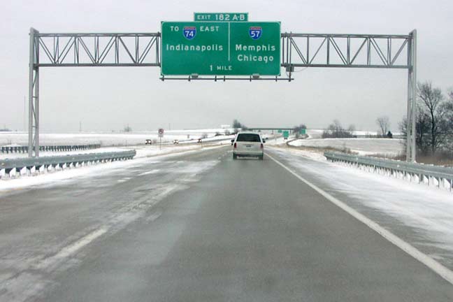
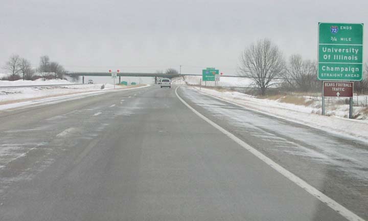
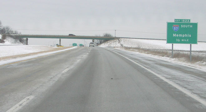
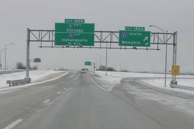
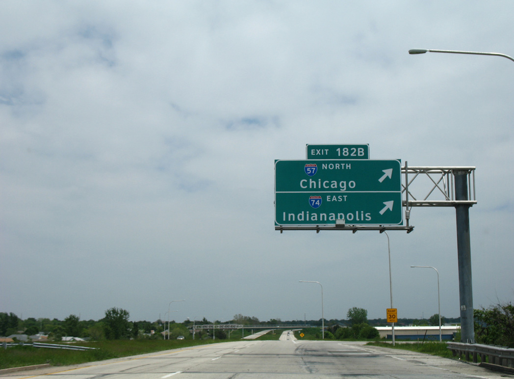
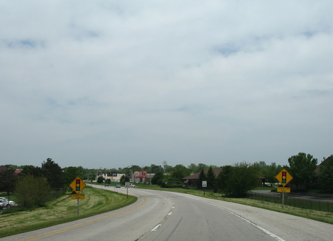
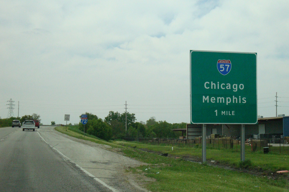
The first in a series of guide signs for Interstate 57 on I-72 eastbound appears at the bridge crossing Kaskaskia Ditch. All guide signs for Exits 182 AB were replaced with Clearview font by 2008. Photo by Don Hargraves (02/14/03).
Church Street – West at
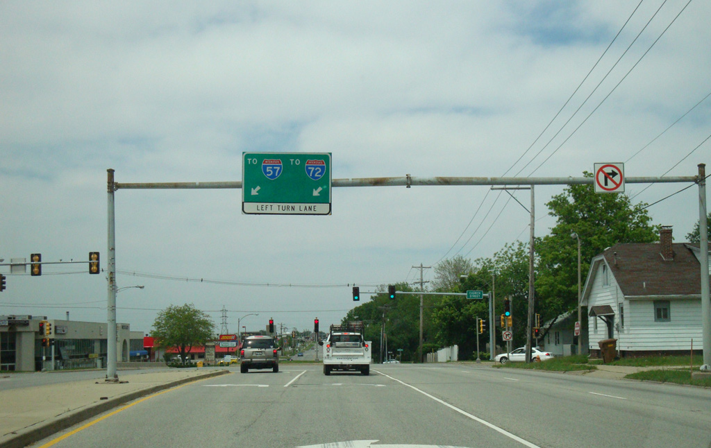
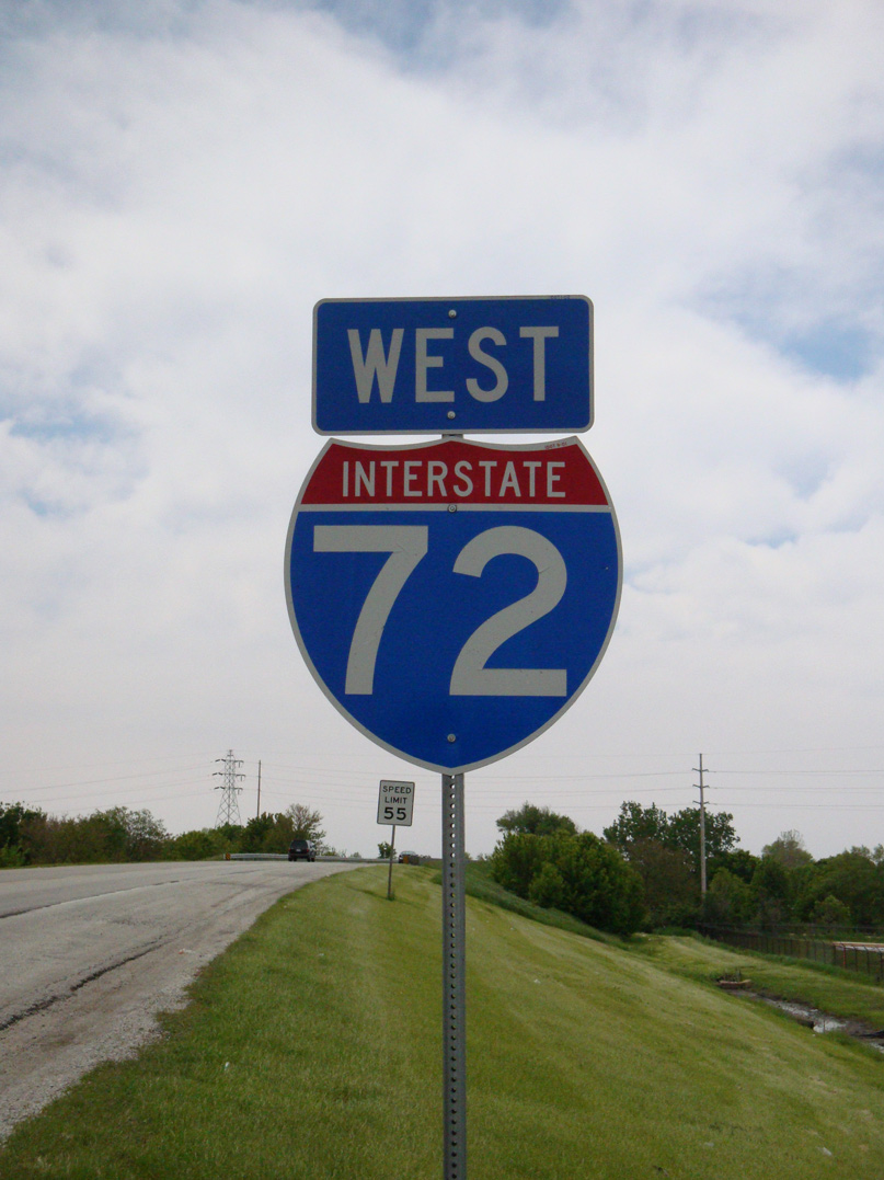
Mathis Avenue separates retail areas to the west from residential areas to the east to the couplet of University Avenue east and Church Street west to Interstate 72. 05/24/08
North at
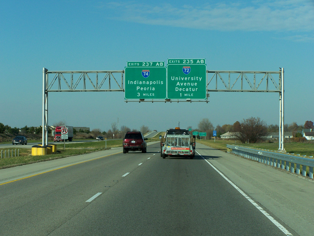
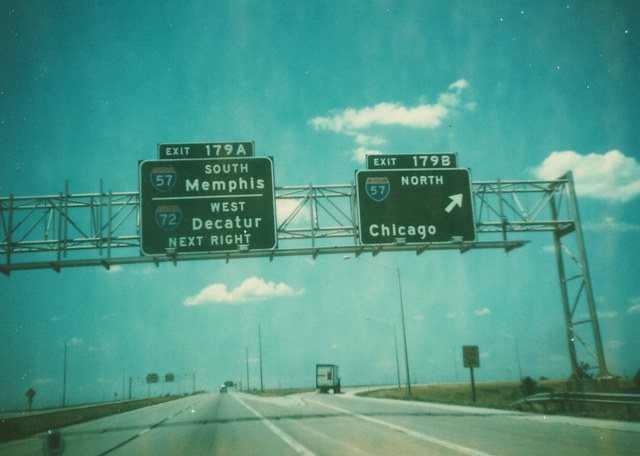
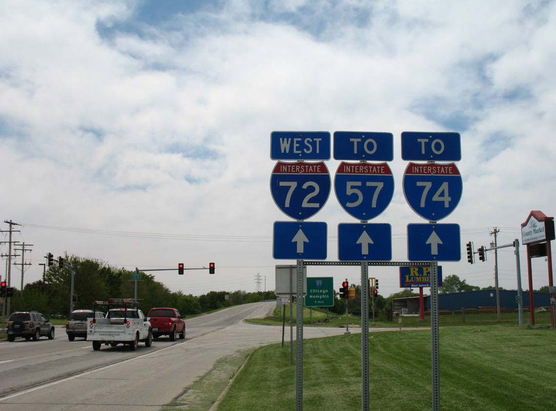
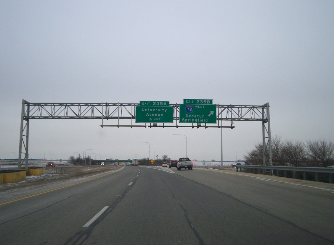
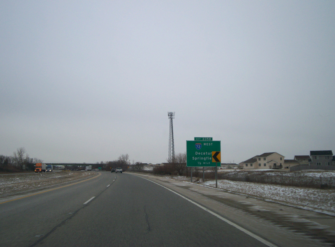
Interstate 57 meets I-72 at a cloverleaf interchange (Exits 235 AB) beyond the IL 10 (Springfield Avenue) underpass. 11/17/07
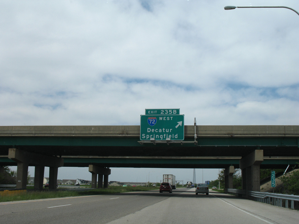
South at
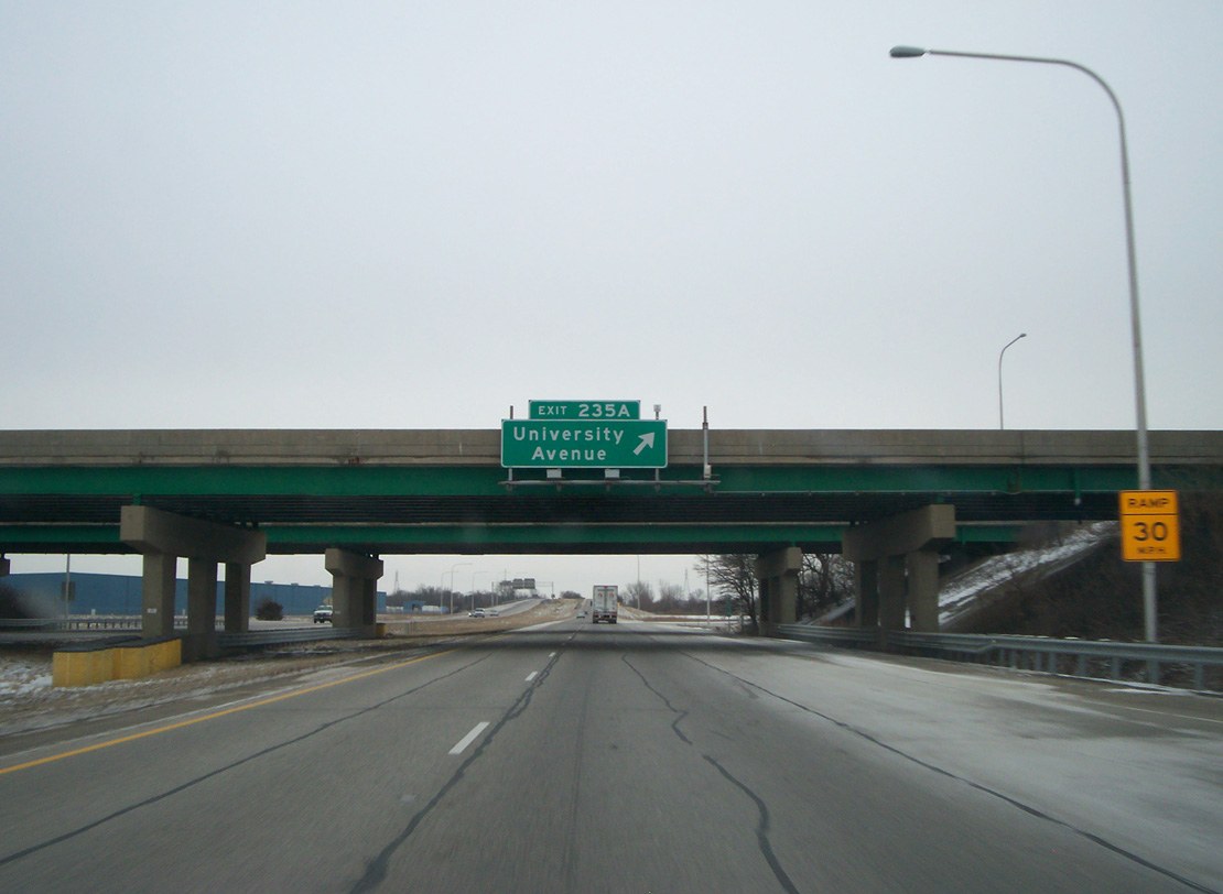
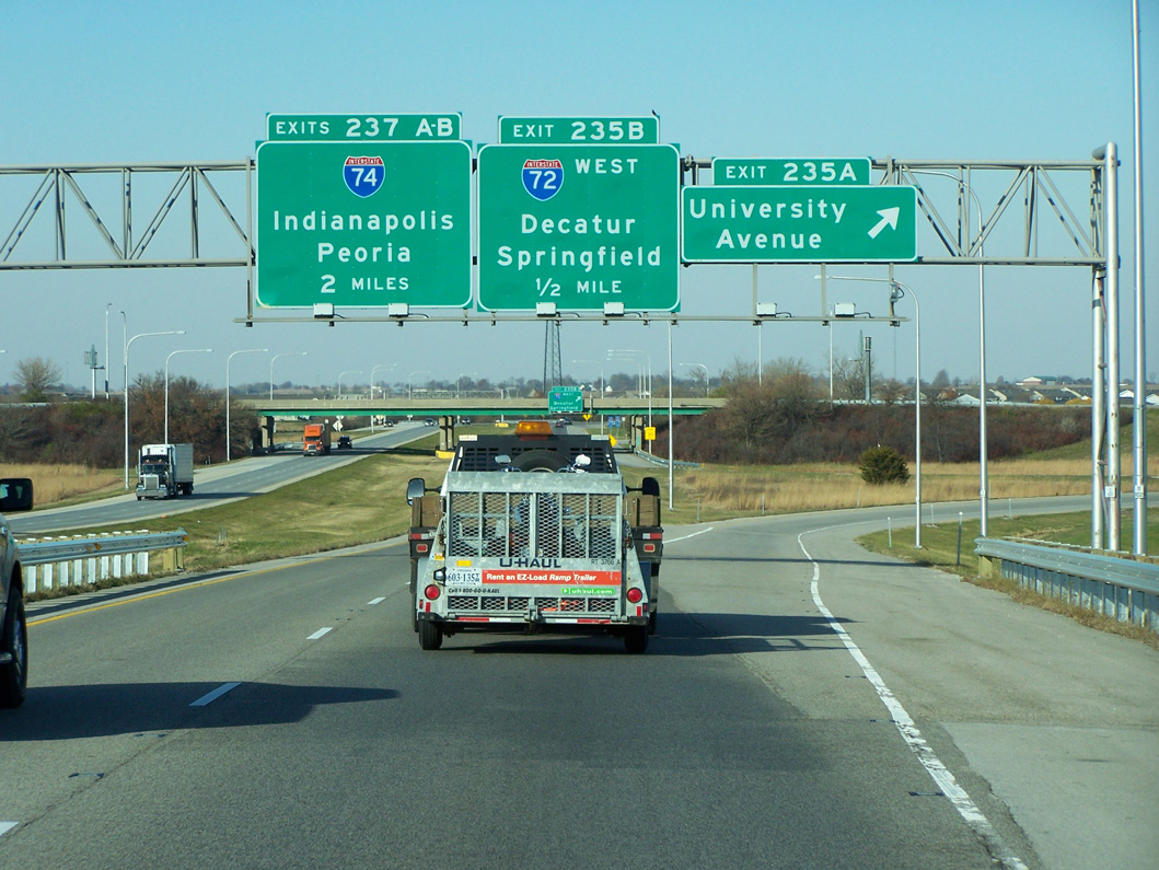
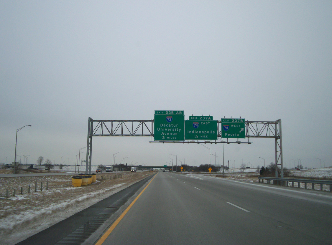
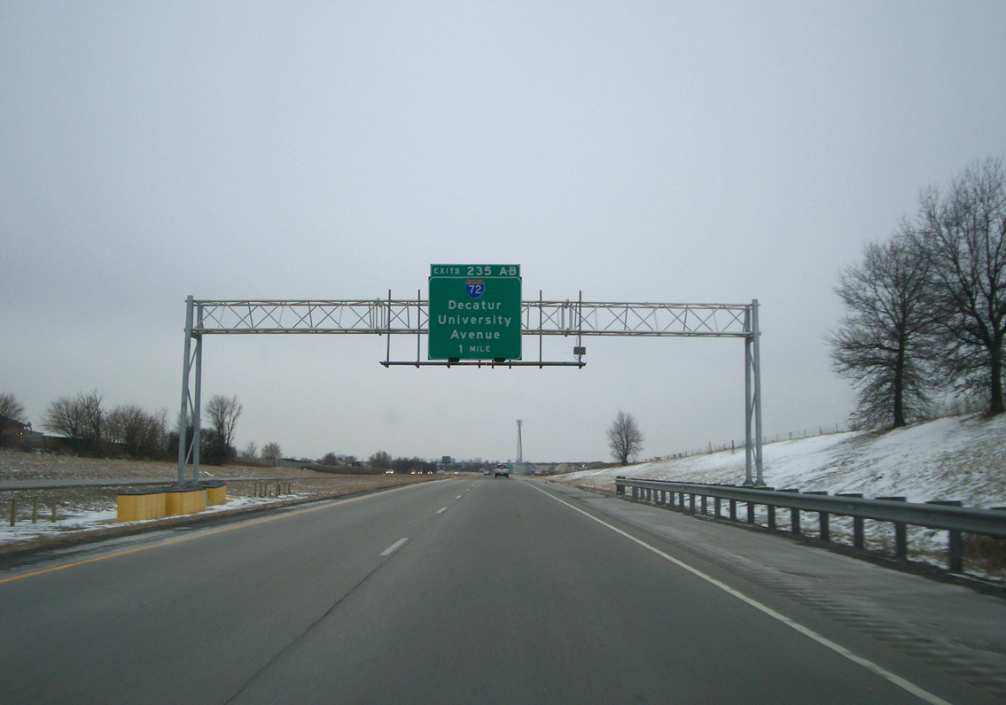
Exit 235A follows for the I-72 freeway spur to University Avenue. University Avenue flows east to State Street at West Side Park, two blocks from city hall. Church Street brings westbound traffic from Downtown to Interstate 72. Photo by Chris and Amber Lokken (01/27/10).
West End 

 ‐ Hannibal, MO
West
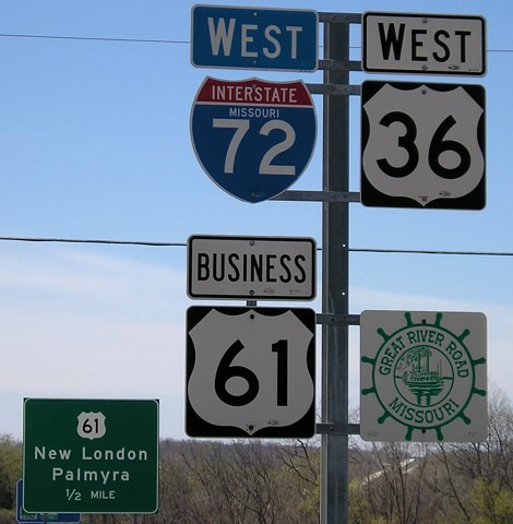
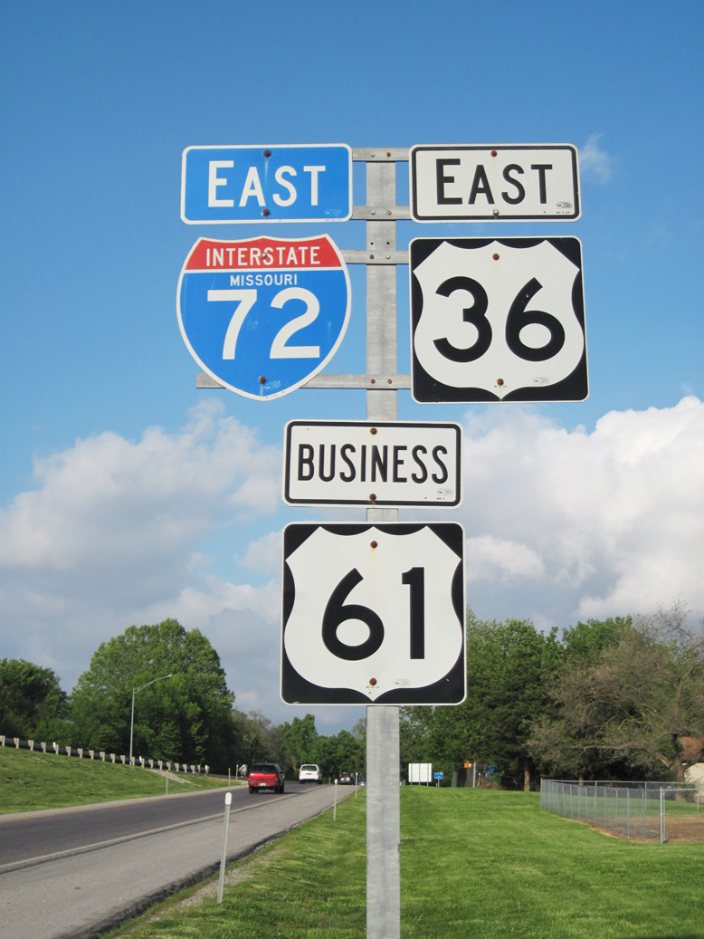
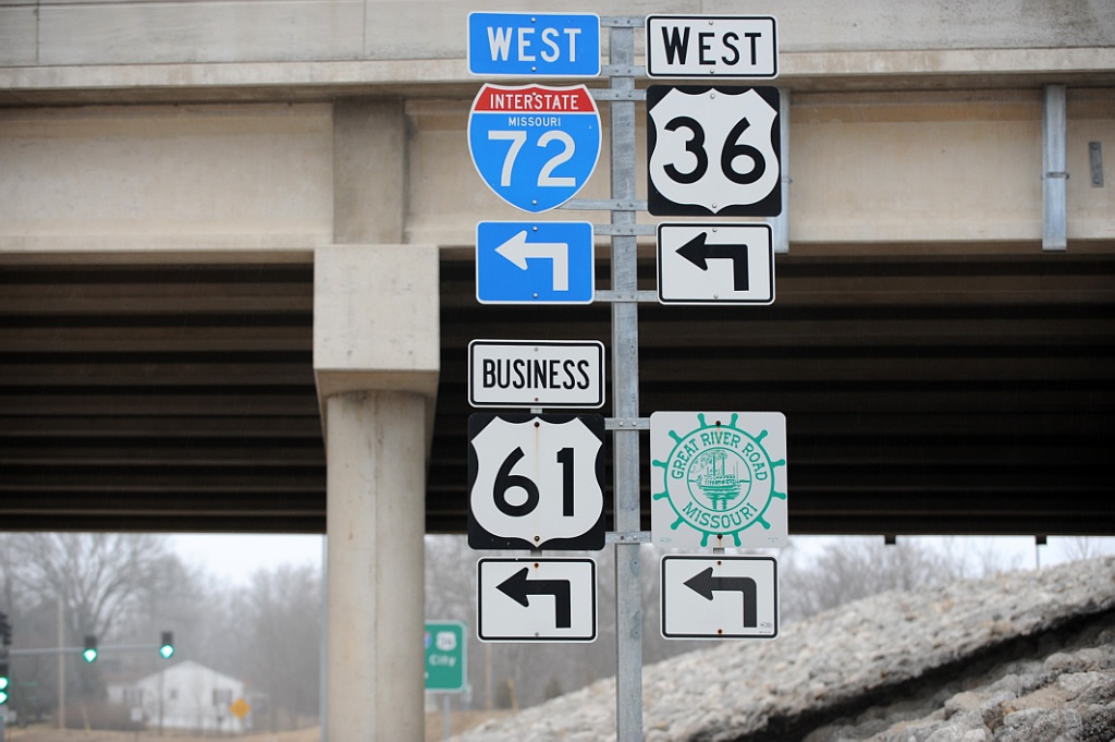
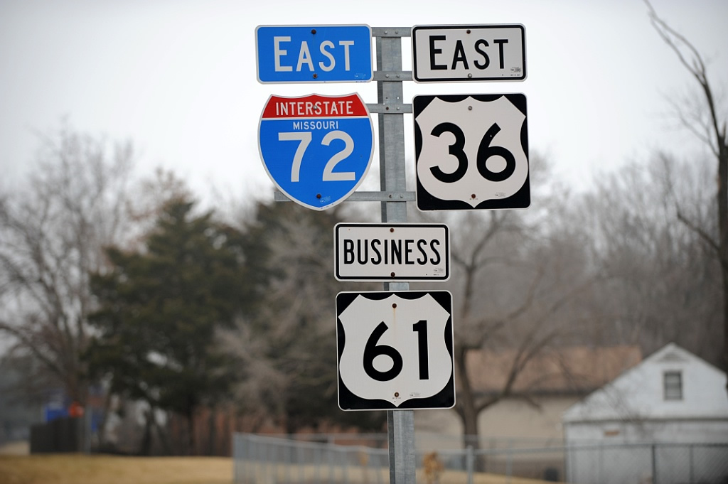
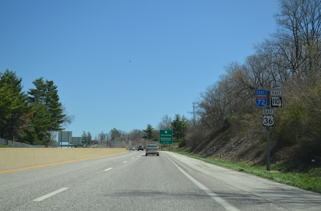
I-72 west approaches Exit 157 for U.S. 61 (McMasters Avenue). Beyond this interchange, U.S. 36/Route 110 (CKC) continue westward to U.S. 24 near Withers Mill. A replacement made for this shield array dropped both U.S. 61 Business and the Great River Road trailblazer in favor of a Route 110 marker. U.S. 36 Business and U.S. 61 Business were decommissioned by 2015. Photo by Jeff Morrison (04/20/08).
East
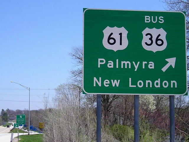
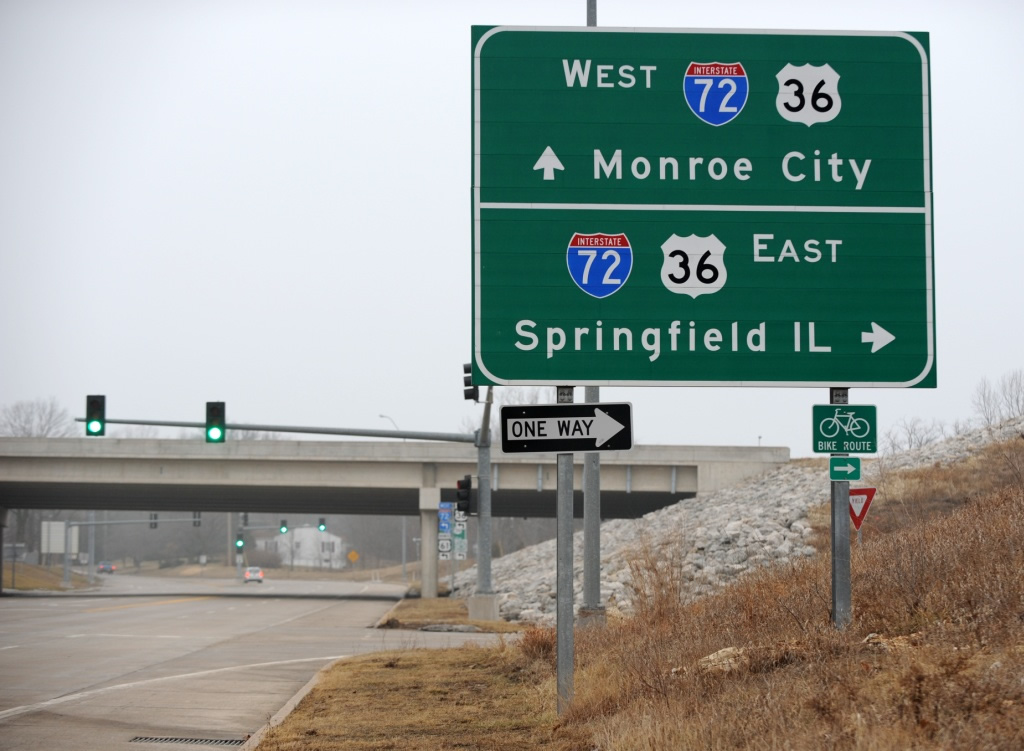
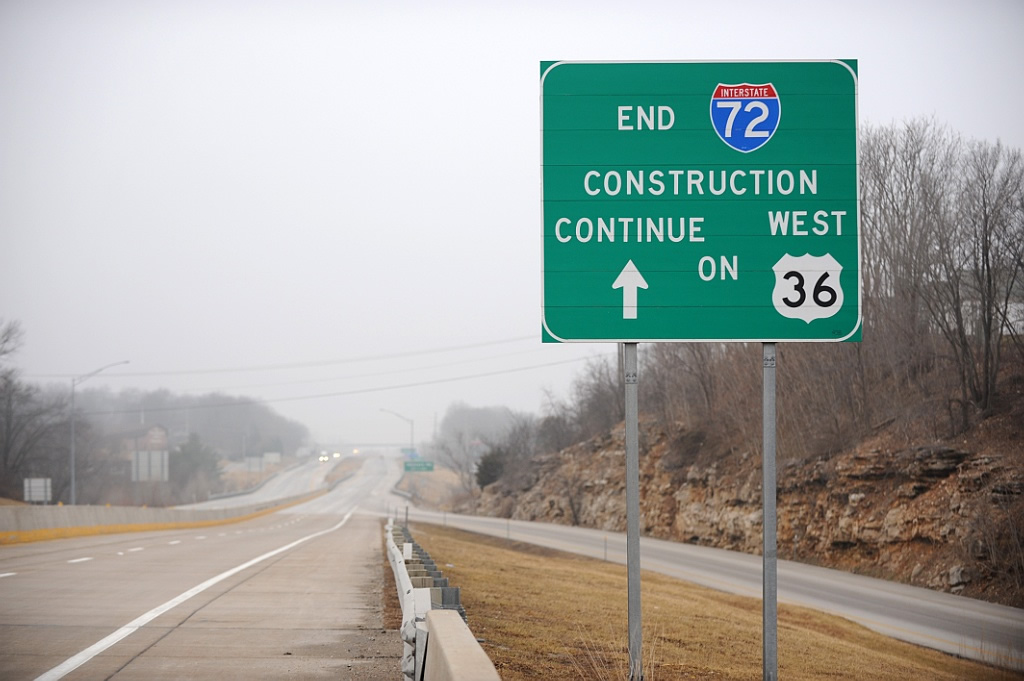
U.S. 36/Route 110 (CKC) east at the SPUI (Exit 157) with U.S. 61 (Avenue of the Saints) and former U.S. 36 Business. New London and Palmyra are county seats along the U.S. 61 corridor. Photo by Jeff Morrison (04/20/08).
McMasters Ave – North at
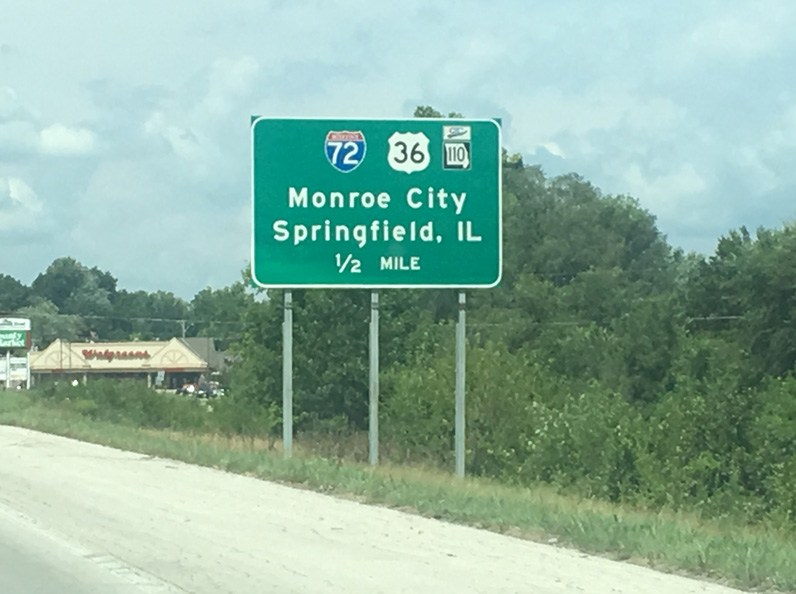
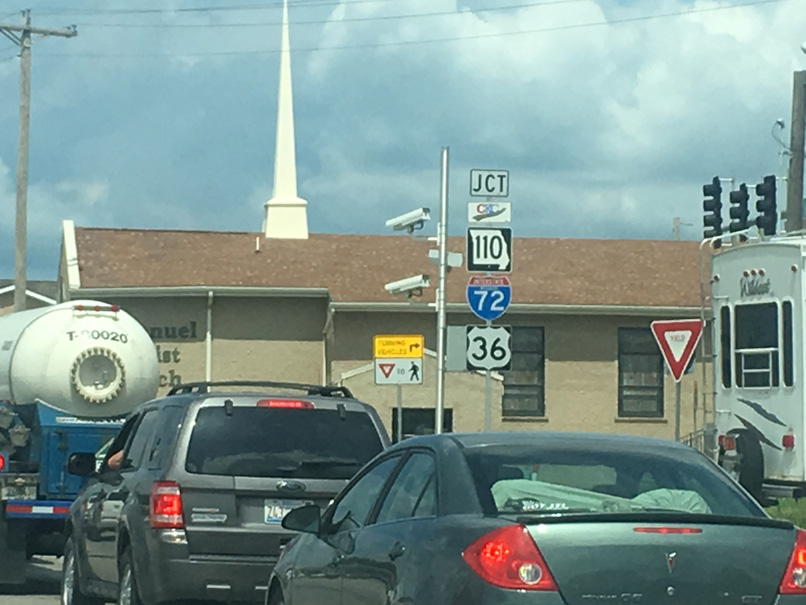
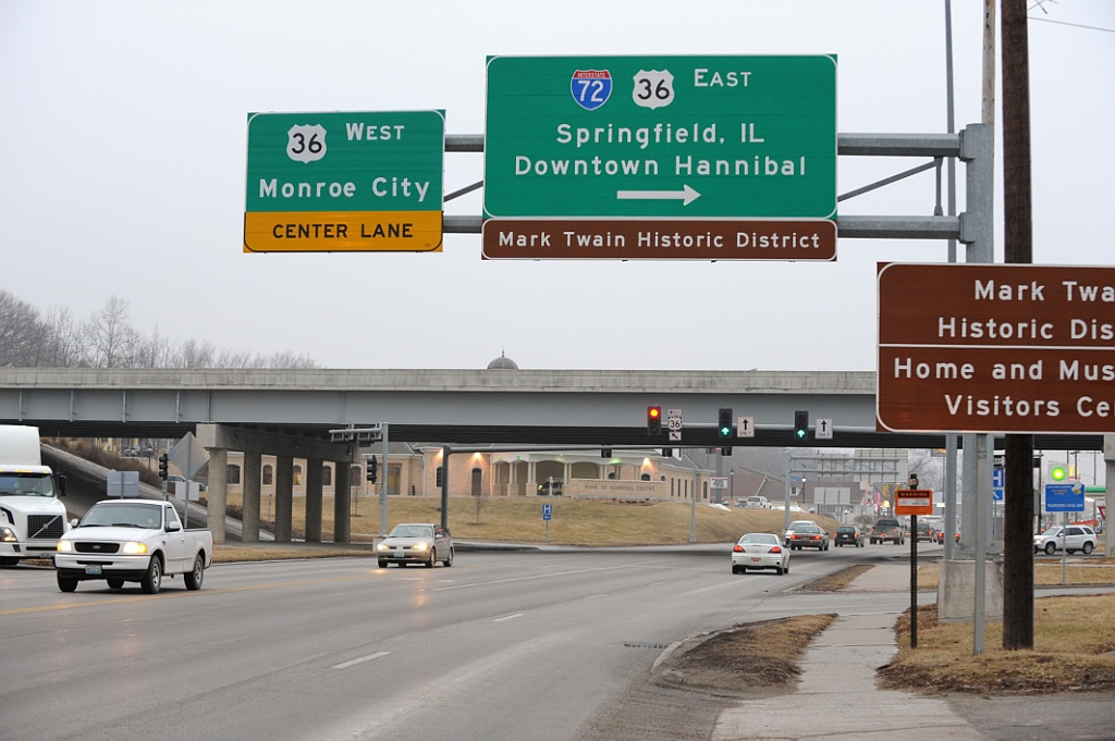
U.S. 61 (Avenue of the Saints) travels a half mile north from a commercialized intersection with Route MM and James Road to meet Interstate 72 east, U.S. 36 and Route 110 (CKC). Photo by Joseph Barnes (08/14/16).
McMasters Ave – South at
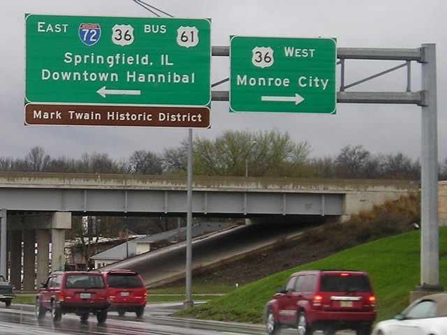
U.S. 61 transitions from a controlled access route to a five lane commercial boulevard (McMasters Avenue) through the north side of Hannibal. McMasters Avenue continues south from the expressway end 0.7 miles to the interchange with I-72 east, U.S. 36 and Route 110 (CKC). Photo by Jeff Morrison (04/18/08).
Historic West End  ‐ Springfield, IL
Past Views Gallery (Tap to Expand / Collapse Section)
at
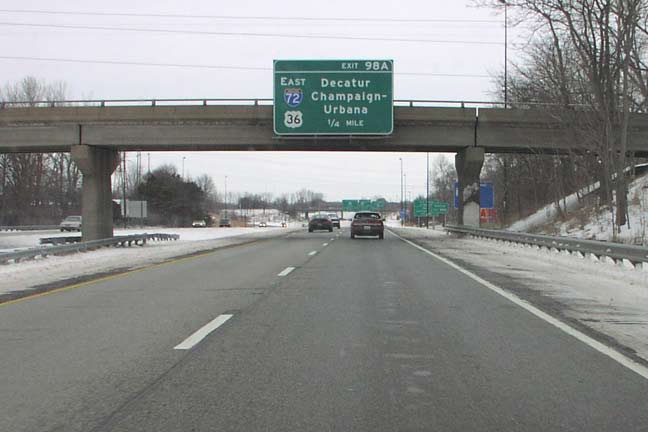
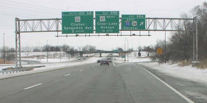
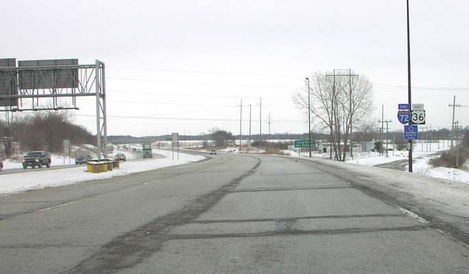
U.S. 36 splits with I-55 north at the cloverleaf interchange (Exits 98A/B) with I-72. Cook Street passes above the freeway in this scene as it extends from Eastdale Avenue. Cook Street west to 9th Street was formerly a part of U.S. 36 before it was relocated onto a freeway bypass south of Springfield. Photo by Don Hargraves (02/14/03).
References
- "Interstate designation makes Marion County transportation priority list." Hannibal Courier-Post (MO), February 20, 2016.
- "Missouri highways panel hears regional transportation priorities." Herald-Whig (Quincy, IL), September 1, 2016.
- "Realization of a Dream." State Journal-Register, The (Springfield, IL), November 22, 1991.
- "Road to the Top? Designation Puts Expressway in the 'Big Leagues'." State Journal-Register, The (Springfield, IL), April 28, 1995.
- Missouri Department of Transportation (MoDOT). Route 36 Expansion - Project Information. Retrieved from http://www.modot.org/northeast/projects/route36_projectinformation.htm
- "I-72 expansion near Hannibal on hold for now." Herald-Whig (Quincy, IL), February 19, 2017.