Interstate 29

Overview
Interstate 29 serves the Upper Midwest and Great Plains region between Kansas City, Missouri and Winnipeg, Manitoba, Canada. The freeway parallels the Missouri River between Kansas City and Sioux City, Iowa before straightening out along a northerly heading to Sioux Falls, South Dakota and Fargo, North Dakota.
The southernmost 5.5 miles of Interstate 29 runs alongside I-35 north from the Alphabet Loop encircling Downtown Kansas City. I-35 branches eastward to Claycomo and Liberty while I-29 turns west toward Kansas City International Airport (MCI) and a short overlap alongside I-435, the Kansas City Beltway.
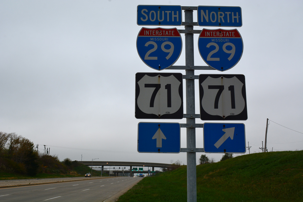
Leaving the Kansas City area, I-29 bee lines north along low rolling hills to St. Joseph, where an urban loop, I-229 serves Downtown while I-29 bypasses the city to the east. U.S. 71 leaves the I-29 corridor north of St. Joseph while I-29 bends northwest to Mound City and southwest Iowa parallel to the Missouri River.
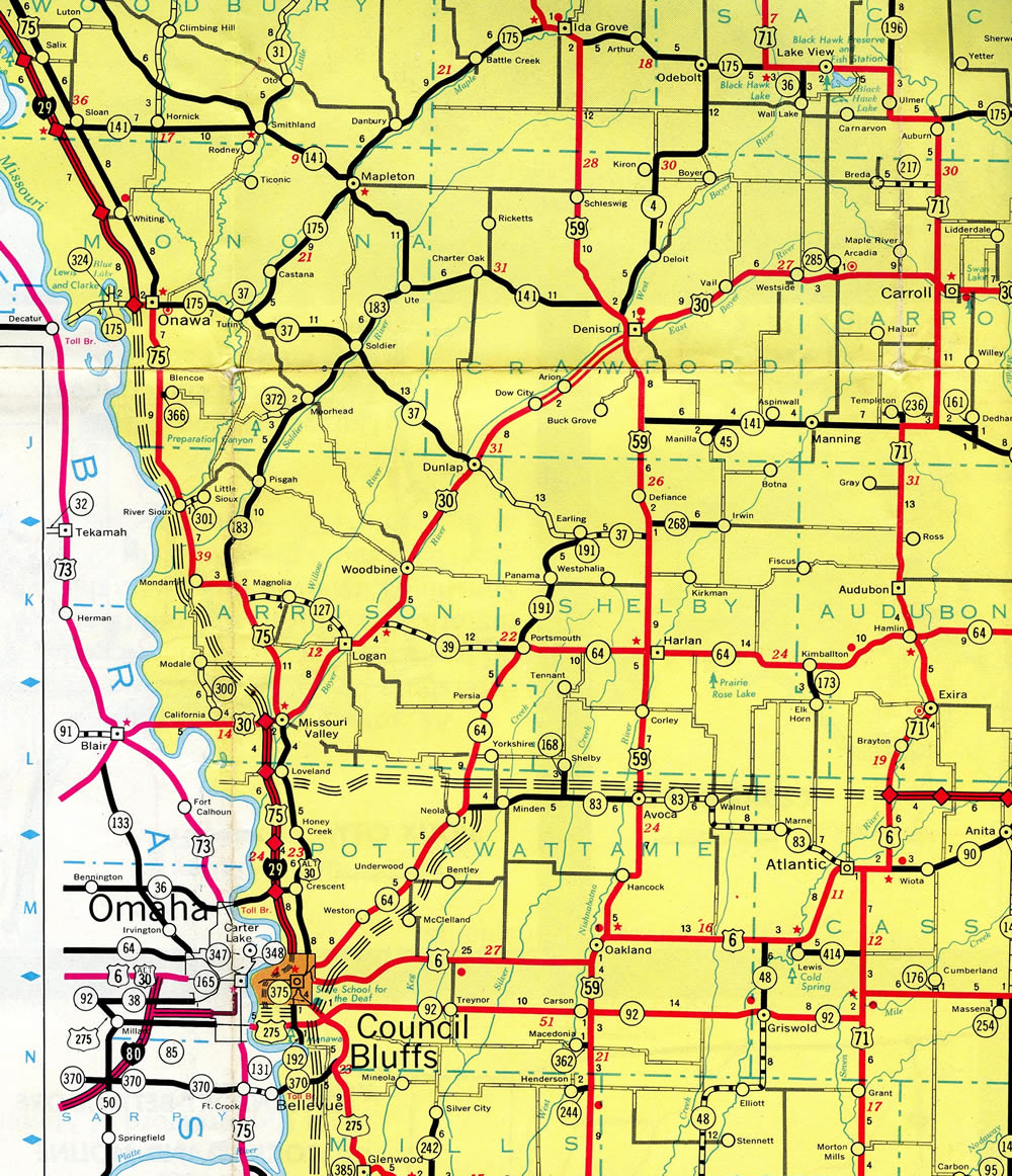
While never entering the state of Nebraska, bridges across the Missouri join the I-29 corridor with Nebraska City and Plattsmouth on the northern drive to Council Bluffs. Once in Council Bluffs, I-29 takes a dog leg alongside I-80 west before following an S curve northward to Interstate 680. I-680 previously combined with Interstate 29 for ten miles to Loveland. The overlap was dropped with the renumbering of the eastern branch of I-680 (former I-80N) as Interstate 880 in November 2019.
Shifting westward again toward the Missouri River, I-29 traverses flat areas while en route to Sioux City. The freeway hugs the east banks of the river by Downtown, with I-129 providing a western link to South Sioux City, Nebraska. Just north of there, I-29 crosses into South Dakota.
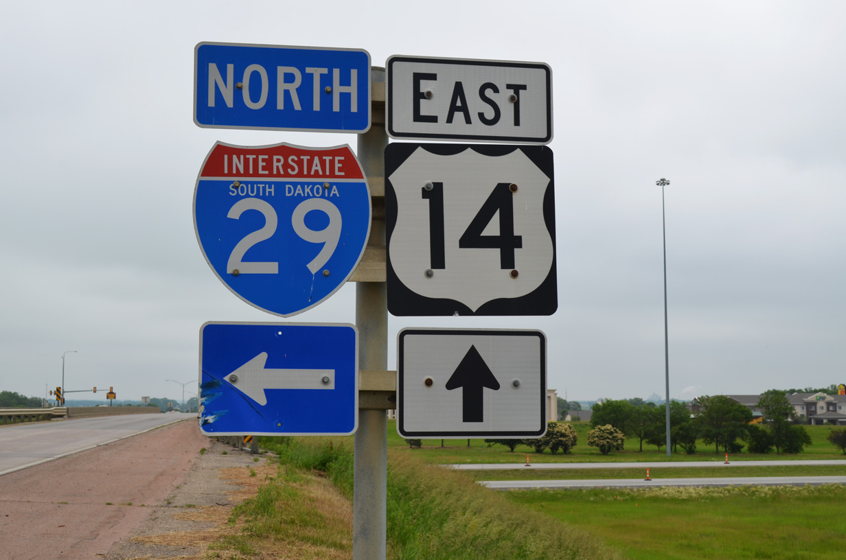
Interstate 29 turns again at Junction City along the northward course to Sioux Falls in southeastern South Dakota. I-229 forms an urban loop east to Downtown while I-29 stays to the west through suburban areas between Tea and Renner. A handful of east and westerly shifts occur along the route between Sioux Falls and Brookings, home of South Dakota State University.
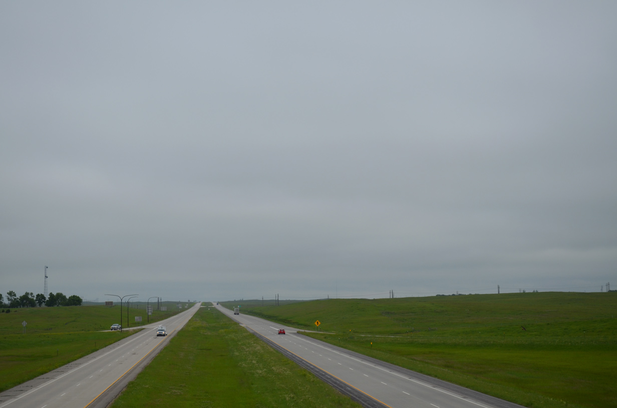
Traveler services decrease in frequency as I-29 advances from Brookings north northwest to Watertown. The long exit less stretches and generous sight lines justify the 80 mile per hour speed limits along the freeway to the North Dakota state line. The landscape remains similar through southeastern North Dakota.
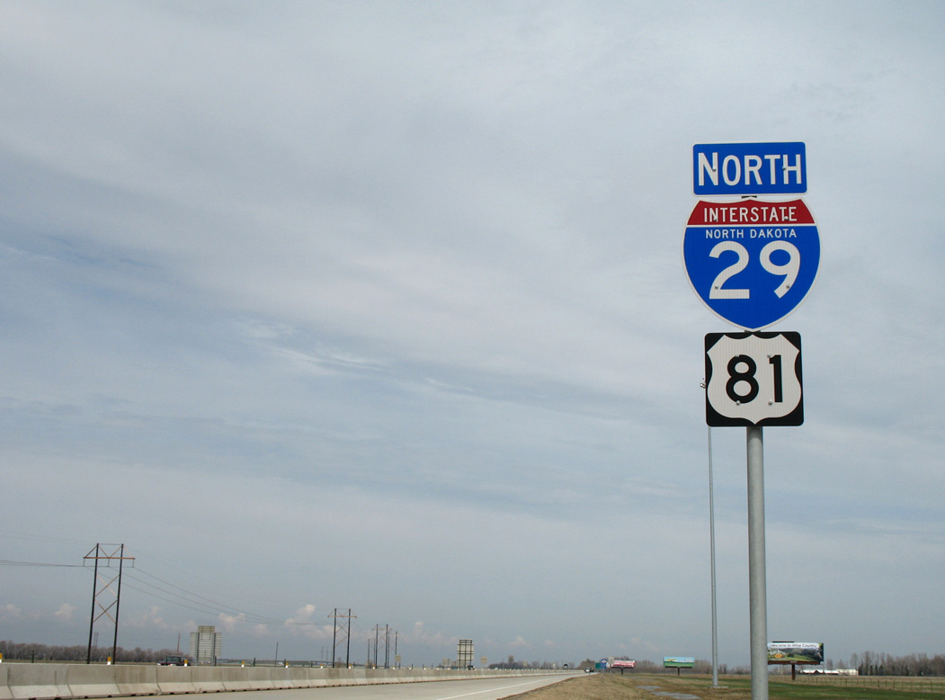
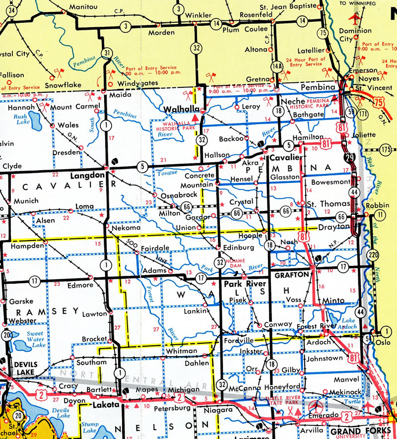
I-29 transitions from rural to suburban and urban settings northward into Fargo, the largest city in North Dakota. 2018 traffic counts recorded by the North Dakota Department of Transportation (NDDOT) topped out at 77,610 vehicles per day (vpd) along the section just north of I-94. North of the metropolitan area, the rural freeway reduces to 13,570 vpd, and only increases to 17,675 vpd through Grand Forks, the last regional city along the route. Traffic counts along I-29 trickle to below 5,000 vpd beyond Drayton and just 2,870 at the Canadian border north of Pembina.
Mileage by State
| Missouri | 130.72 mi |
| Iowa | 164.66 mi |
| South Dakota | 252.50 mi |
| North Dakota | 217.54 mi |
Data Sources
December 31, 2021 Interstate Route Log and Finders List
Major Projects
Construction through 2022 rebuilt Interstate 29 from south of Council Bluffs and the interchange with U.S. 275/Iowa 92 north to Council Bluffs ahead of 25th Street. Work modernized the freeway built in the 1960s by eliminating left side ramps, separating the overlap with Interstate 80 into a dual freeway, and adding capacity. The Council Bluffs Interstate System Needs Study by the city of Council Bluffs and the Metropolitan Area Planning Agency between 1997 and 1999 determined that I-29 was outdated, did not meet modern design standards or operational criteria and was over capacity. Iowa DOT started the Council Bluffs Interstate System Improvement Program in 2002 to address the issues raised by the study. Initial work commenced in 2006 with a lane addition along the concurrent I-29 south and I-80 east section.
Major work reconfigured the West System Interchange, where I-29 and I-80 converge just east of the Missouri River and the East System Interchange, where the two split for Des Moines and St. Joseph respectively. Construction at the West System Interchange was completed in July 2017, while efforts at the East System Interchangecontinued through June 2020.
Eliminating weaving traffic patterns, a revamp of the I-29/80 overlap separated both routes into a dual, divided freeway. Additional construction improved the geometry of the interchanges with Nebraska Avenue (Exit 52), the South Expressway Street (Exit 3) and U.S. 275/Iowa 92 (Exit 47). Phase II construction was completed by January 2019. Work on Phase III started in August 2019 and finished in June 2021.
Construction programmed for November 2020 to July 2023 at the West Broadway Interchange with Interstate 480 replaced left exit ramps along I-29 northbound, added access to Broadway (old U.S. 6) and reconfigured ramps at Avenue G, N 35th Street and 9th Avenue. Construction got underway in April 2021 and was completed in December 2023, six months ahead of schedule.
The I-29 Improvement Project, upgrading the freeway through Sioux City, Iowa, was completed in 2019. Split into three segments, construction along Segment 1 commenced in August 2010, with work on Segment 3, a reconstruction of the northbound lanes to the South Dakota state line, completed in 2012. This phase included six-laning the freeway and improving ramps at the interchanges with Singing Hills Boulevard and Interstate 129. Started in Spring 2012, Segment 2 widened I-29 to six overall lanes and upgraded several interchanges through the Downtown area.
Prior work identified in a 1997 needs study for I-29 included changes at the diamond interchange (Exit 141) with Sergeant Bluff Road. This was completed in 2003. The I-29 Sioux City corridor planning study commenced in 2004, leading to initial construction in August 2008 at the Riverside Boulevard interchange. That exchange was converted from a trumpet to a diamond interchange (IowaDOT, 2019).
History
The Official Route Numbering for the National System of Interstate and Defense Highways adopted on August 14, 1957 included separate routes for what is now Interstate 29. I-29 was numbered along the southern segment of the route between Kansas City and Sioux Falls, South Dakota. The northern portion from Fargo, North Dakota to the Canadian border was numbered Interstate 31. Interstate system additions approved on October 18, 1957 included 230 miles of freeway linking the two routes (Weingroff, 2017).
Correspondence between R.E. Bradley, Chief Engineer for the North Dakota State Highway Department and the American Association of State Highway Officials (AASHO) on February 18, 1958 addressed the numbering:
In accordance with a recent Bureau of Public Roads circular memorandum all Federal-aid Interstate projects are to be numbered to show their location on the Interstate system.
In order to comply with this memorandum it is necessary that an Interstate route number be assigned the segment recently added from Fargo, North Dakota to Sioux Falls, South Dakota. This segment was not included in the official route numbering as adopted by the American Association of State Highway Officials August 14, 1957. I wish to call your attention to the fact that the number from Sioux Falls to Kansas City is Interstate route 29. The segment from Fargo, North Dakota to the Canadian border is Interstate route 31. It would seem logical to extend Interstate route 29 from Sioux Falls to Fargo and continue to the Canadian border.
Missouri
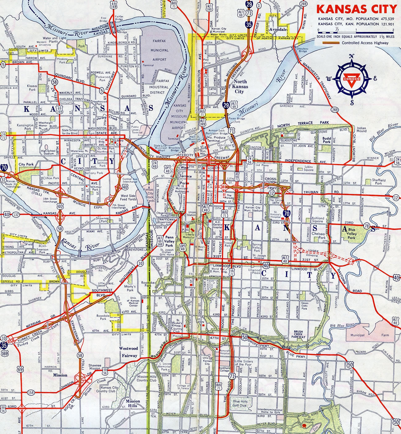
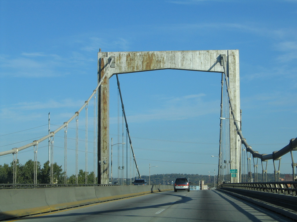
The Paseo Bridge, the original suspension bridge carrying I-29/35 across the Missouri River in Kansas City, was built as part of a master plan to upgrade both the U.S. 71 and U.S. 69 corridors into freeways leading into Downtown Kansas City. The span was conceptualized in 1949 as part of a City Plan Commission study. It was constructed in 1951-1952 and dedicated as U.S. 69 Alternate in August 1954 as a toll facility (MoDOT, 2006). Toll collection was retired once the bonds were paid off.
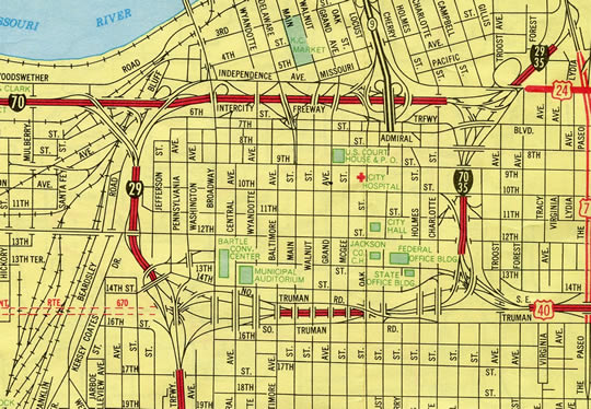
Interstate 29 previously extended further in Downtown Kansas City, running along the north and west legs of the Alphabet Loop. Changes were proposed by Missouri to American Association of State Highway and Transportation Officials (AASHTO) on November 15, 1975, which conditionally approved a relocation of I-35 from the east and south legs of the Downtown loop to replace I-29. The south leg was also proposed to be redesignated as an extension of Interstate 670. AASHTO deferred action on that request, but approved the I-35 relocation on November 12, 1976.
The KcICON project (Kismicki, 2011) upgraded 4.7 miles of I-29/35 from I-70 northward to Missouri Route 210 (Exit 6). The $245 million project included the replacement of the aging Paseo Bridge and revisions to interchanges with The Paseo, Front Street and Armour Road among others. Overall work ran from March 2008 to February 2011. The new cable-stayed span across the Missouri River, the Christopher S. Bond Bridge, was dedicated on September 27, 2010. Dismantling of the old bridge followed through 2011.
Construction along Interstate 29 in Missouri originated with soil work at the bridge site for Pigeon Creek south of St. Joseph by early 1957. The freeway was completed in the Show Me State on July 28, 1976, when an 18.7 mile long portion of freeway opened in Atchison County. Total cost for the 125 miles of I-29 in Missouri was $112 million (Lauck, 2006).
Iowa
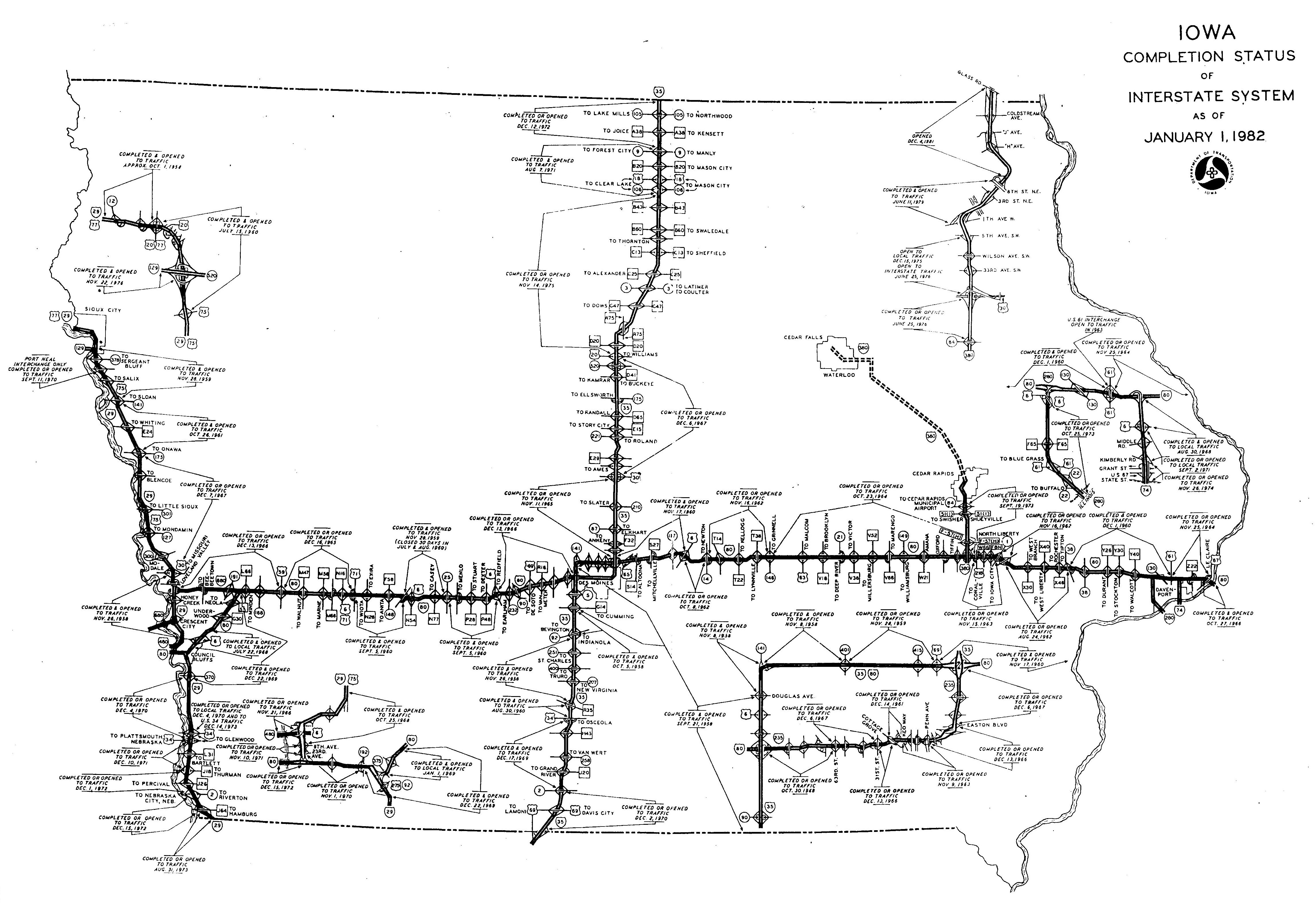
Interstate 29 opened according to the following schedule (from south to north) in the state of Iowa (IowaDOT, 1982):
- Missouri State Line north to County Route J-64: August 31, 1973
- County Route J-64 to Iowa 2: December 15, 1972
- Iowa 2 to County Route J-18: December 1, 1972
- County Route J-18 to U.S. 34: December 10, 1971
- U.S. 34 to Iowa 370: December 4, 1971
- Iowa 370 to Iowa 192: December 22, 1969
- Iowa 192 to I-80 West/23rd Avenue: November 1, 1970
- I-80 West/23rd Avenue to 9th Avenue: November 10, 1971
- 9th Avenue to Iowa 192: October 25, 1968
- Iowa 192 to U.S. 30: November 26, 1958
- U.S. 30 to Iowa 175: December 7, 1967
- Iowa 175 to Iowa 141: October 26, 1961
- Iowa 141 to U.S. 75 Business: November 28, 1959
- Business U.S. 75 to U.S. 20-77: July 15, 1960
- U.S. 20-77 to South Dakota State Line: October 1, 1958
South Dakota
Interstate 29 opened in stages through South Dakota between the late 1950s at Sioux Falls and 1982, when the segment between Exit 224 (Peever) and Exit 246 (New Effington) was completed (Geelhart, 2007). Within Sioux Falls a $33 million upgrade of I-29 was finished in September 2003. This road work involved the reconstruction of two substandard interchanges within the city:
- Exit 83 / SD 38 - The wye interchange with a left side ramp from southbound to SD 38 (Russell Street) was removed.
- Exit 82 / Benson Road - A Single Point Urban Interchange (SPUI) was constructed at Benson Road.
- Exit 81 / Maple Street - The half diamond interchange with Maple Street was upgraded into a six-ramp parclo interchange, offsetting the removal of ramps at the former wye to the north.
These projects were a part of an overall improvement and widening plan for Interstate 29 between Madison Street / Exit 73 and I-90 / Exit 84. The construction was the largest single road related project completed in the state at the time (SDDOT, 2003).
North Dakota
The final section of Interstate 29 to be completed in North Dakota was the portion from Drayton to Pembina in 1977. With this completion, North Dakota became the first state to complete all sections of its Interstate system (NDDOT, 2006).
Within the city of Fargo, upgrades to Interstate 29 included the addition of a third northbound lane through the interchange with I-94. This led to the Main Avenue interchange, where new loop ramps were constructed and the overpass for Main Avenue replaced. This work started in 2004 and ran in conjunction with 2005-07 widening of I-29 to six lanes from Main Avenue to 19th Avenue N (NDDOT, 2005).
North End ‐ International Border – Pembina, ND

 North
North
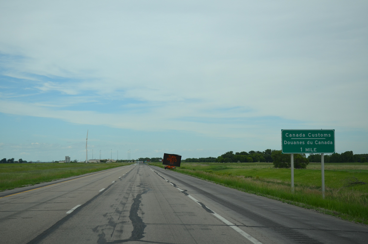
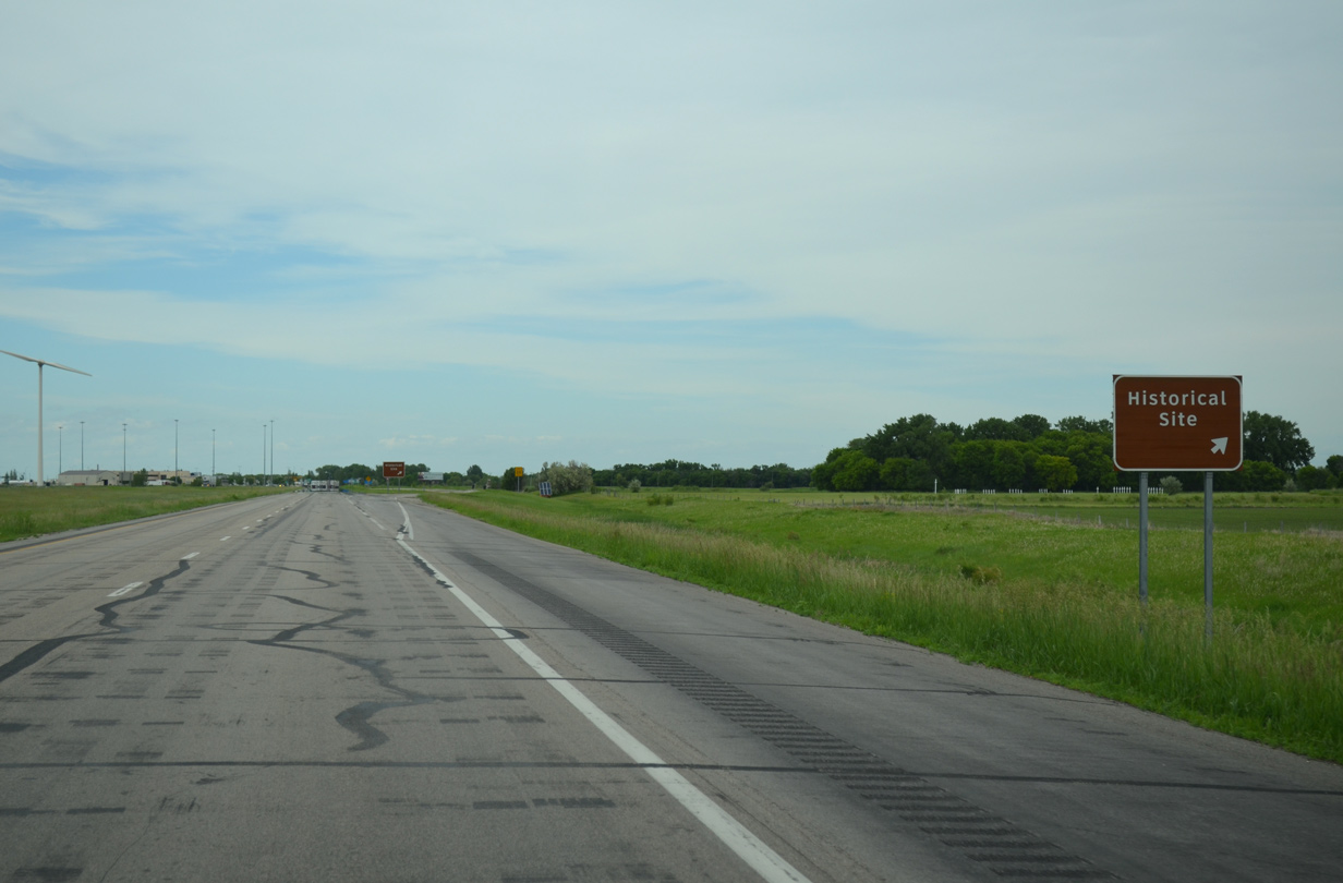
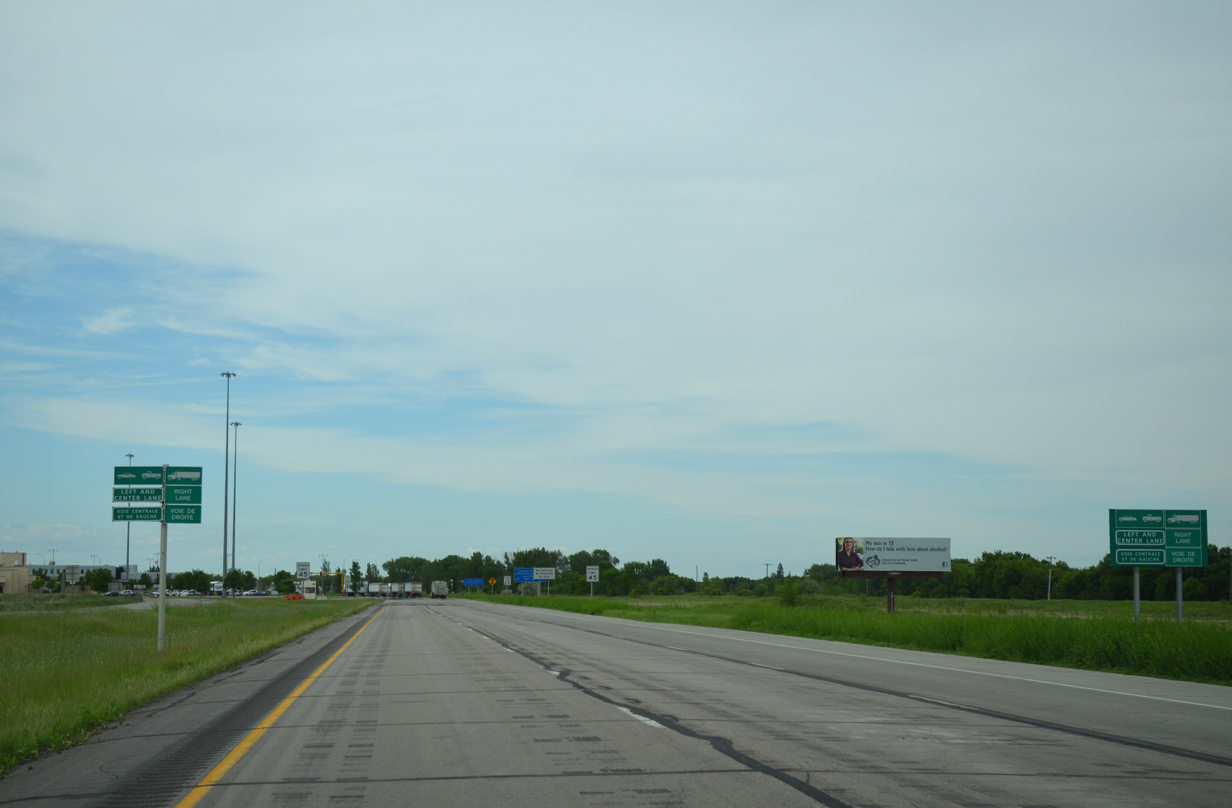
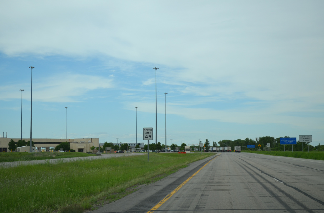
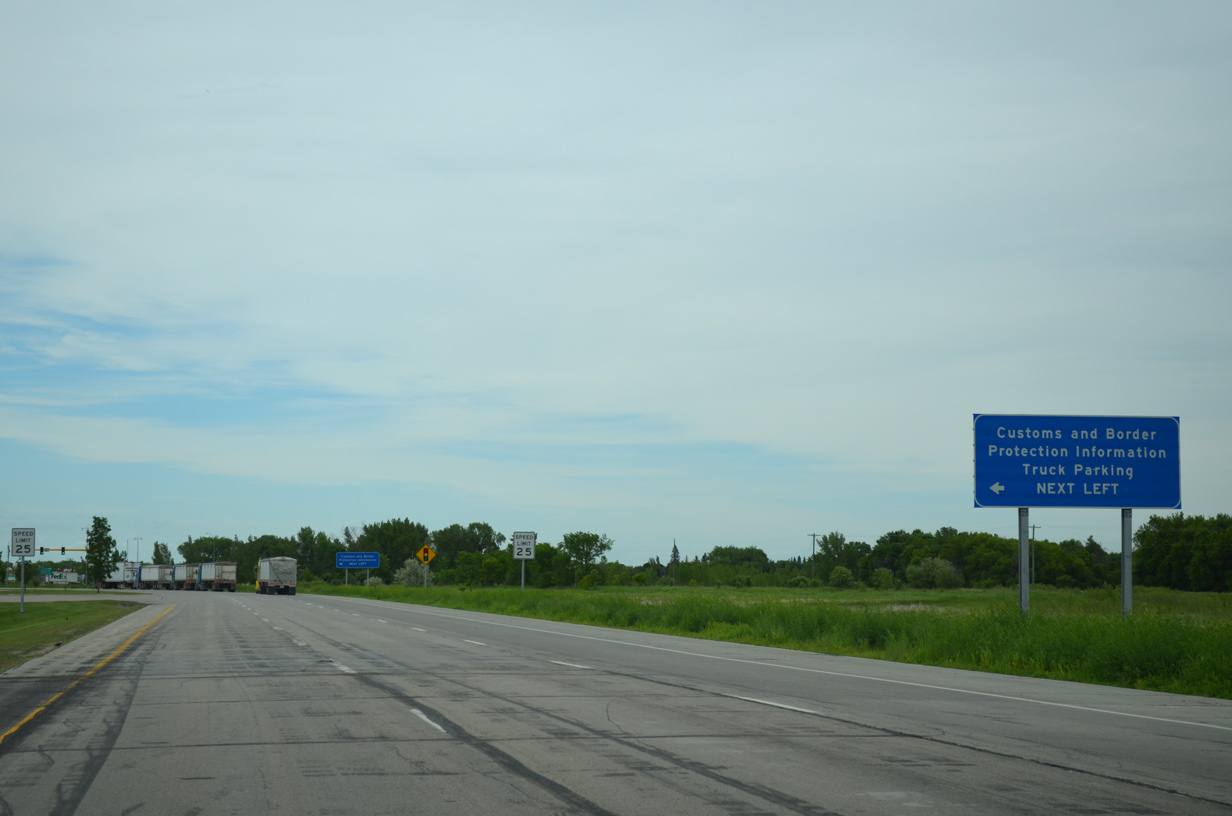
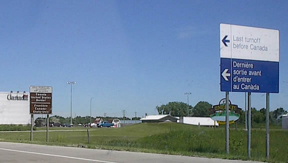
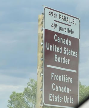
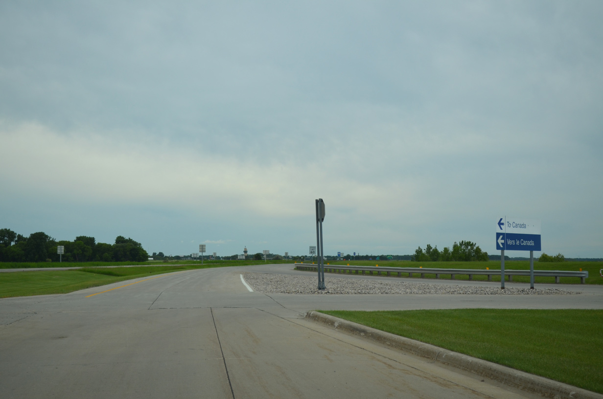
Entering the final mile of Interstate 29 north leading to the Canadian Port of Entry. 06/16/15
PTH 75 – South at
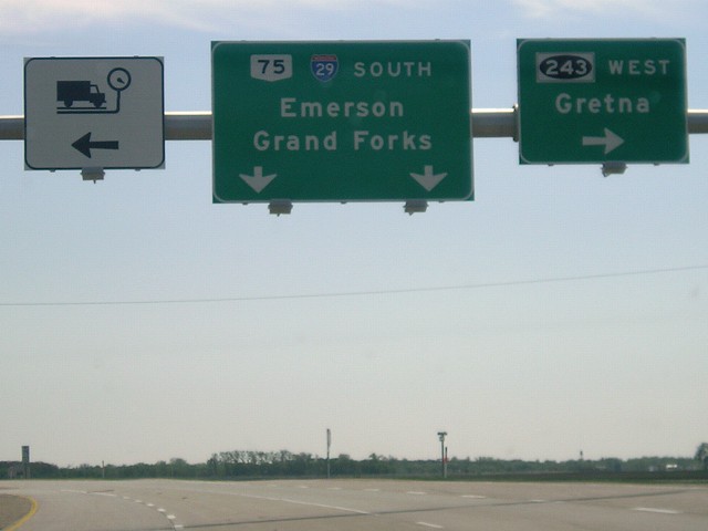
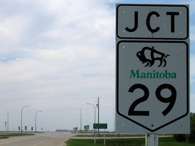
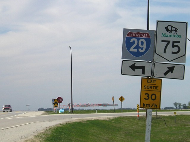
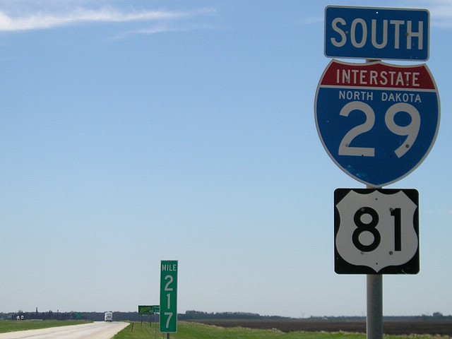
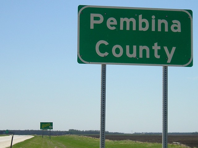
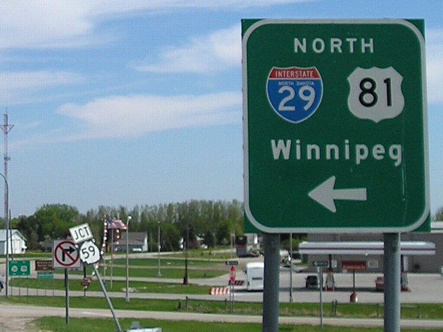
Replaced by 2012, this overhead sign at Provincial Road 243 west was the first appearance of an Interstate 29 shield posted along Provincial Trunk Highway 75 south. The international border lies a short distance ahead. Photo by Jeff Morrison (05/10/07).
South
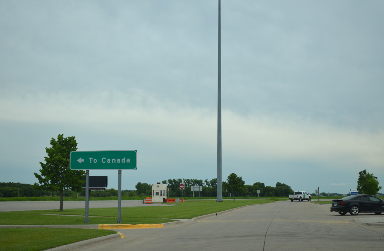
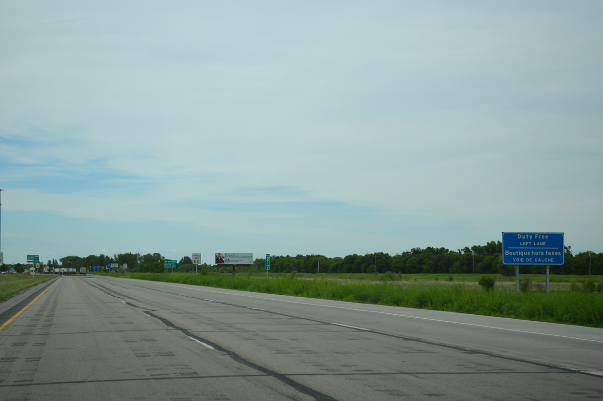
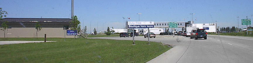
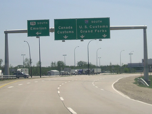
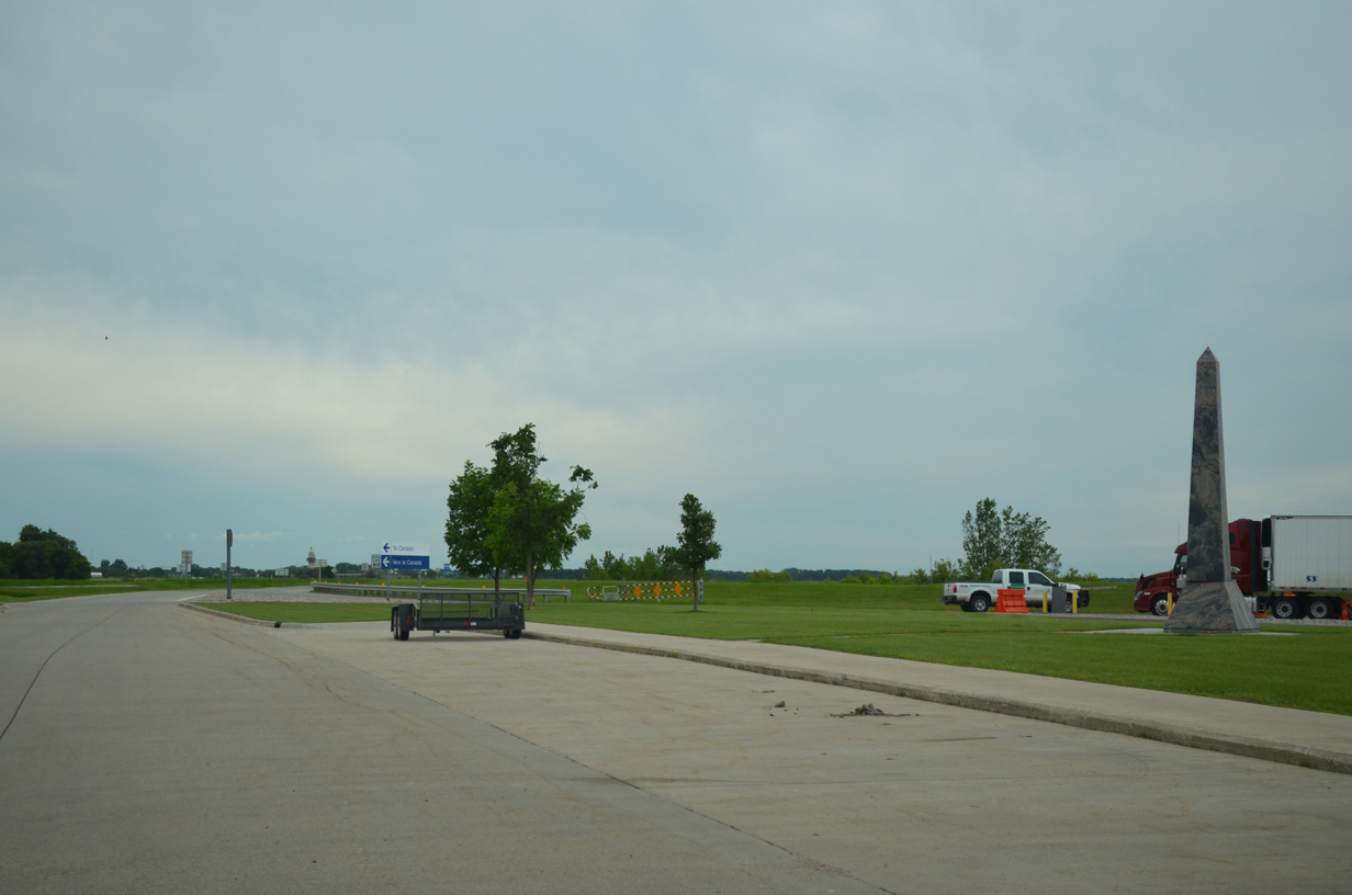
A connector provides access from the border station service road back to the northbound lanes leading into Manitoba. Visible to the left is the northbound truck parking area. 06/16/15
South End 

 ‐ Kansas City, MO
South at 

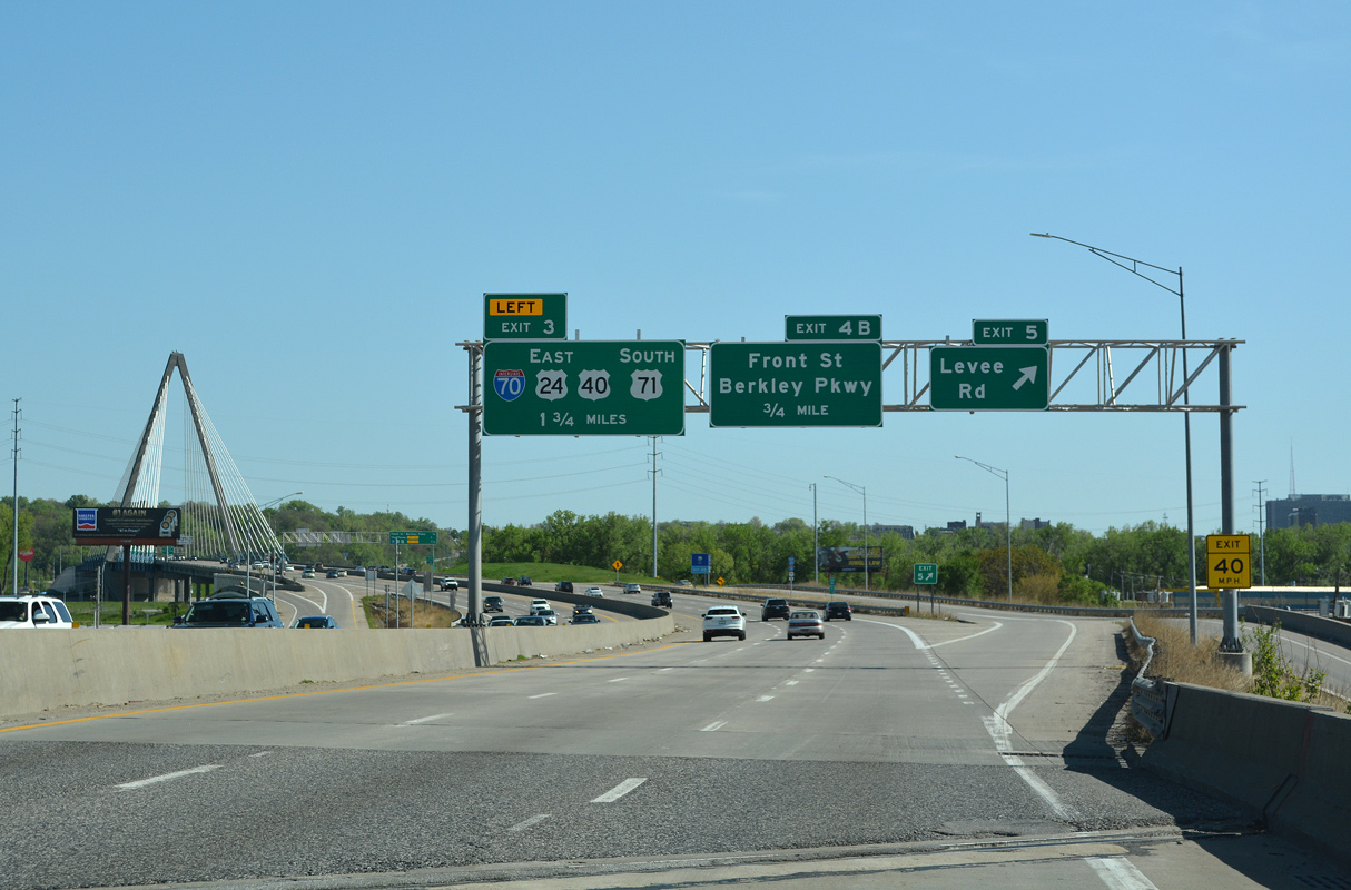
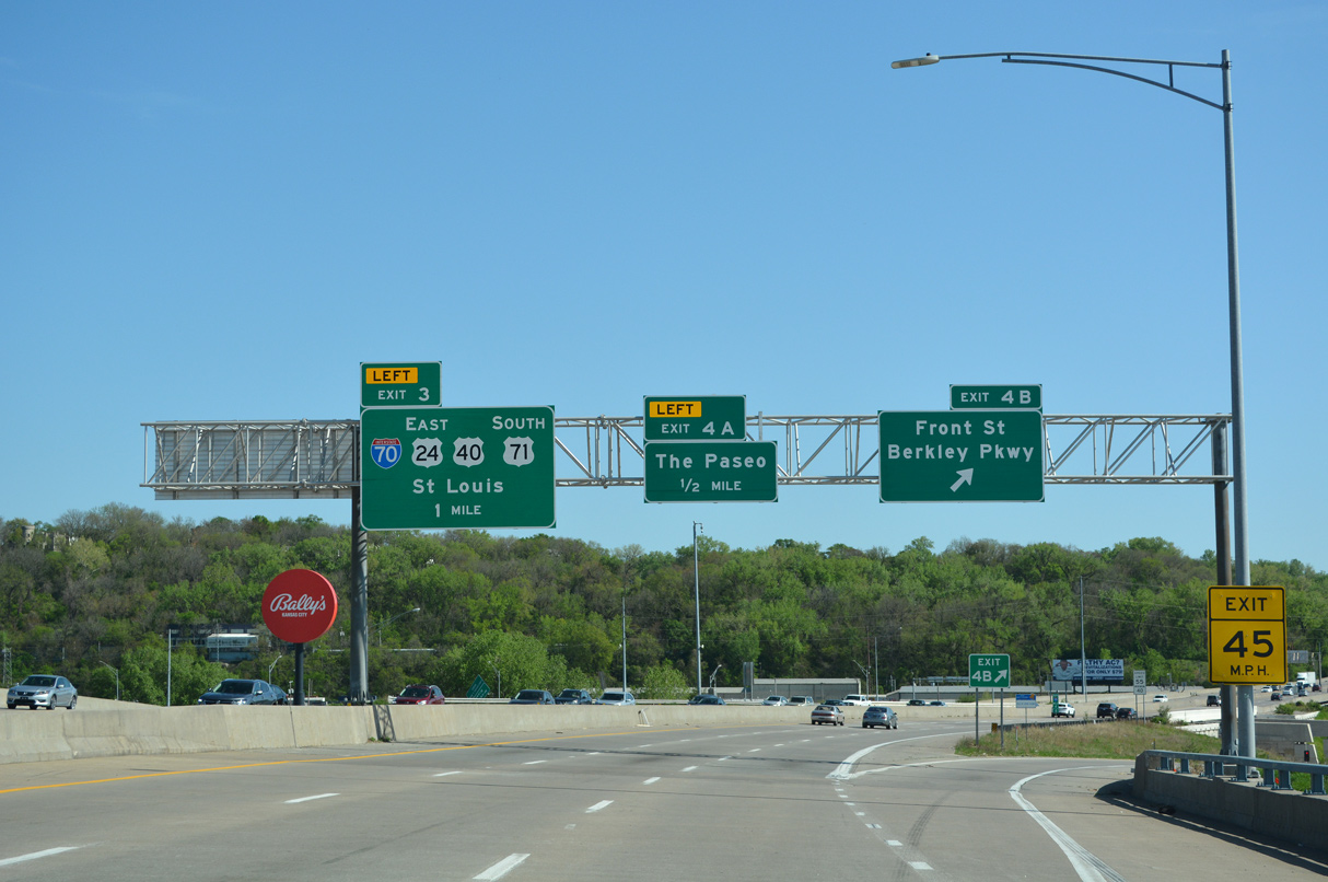
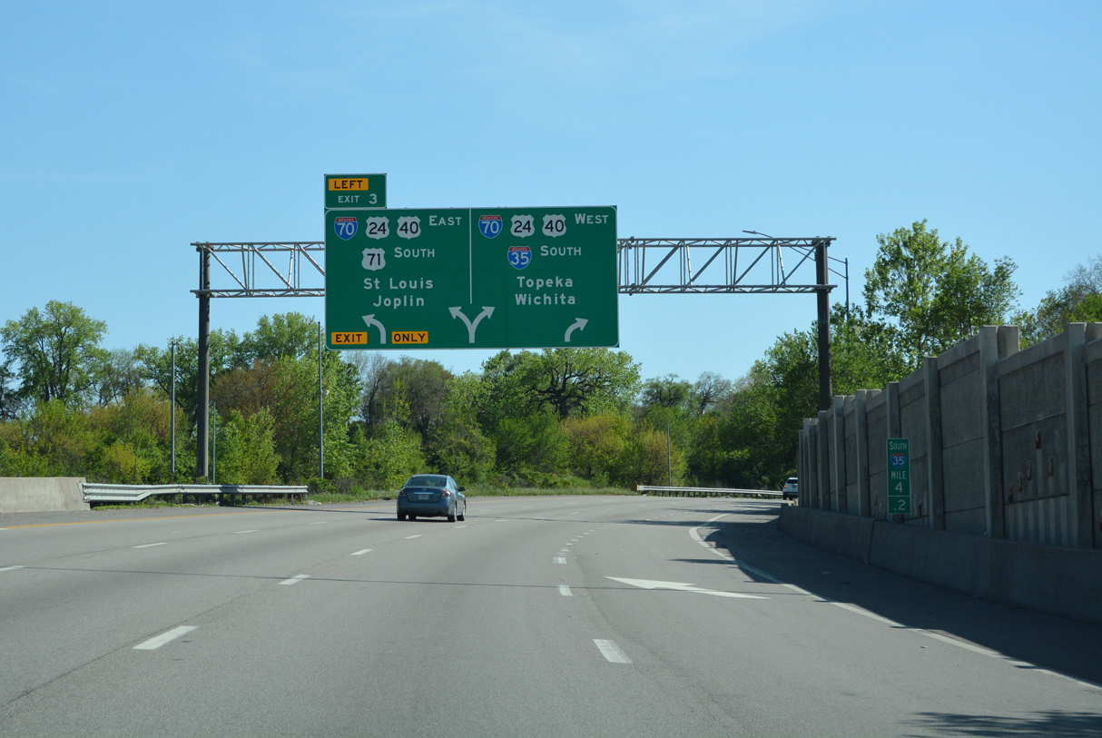
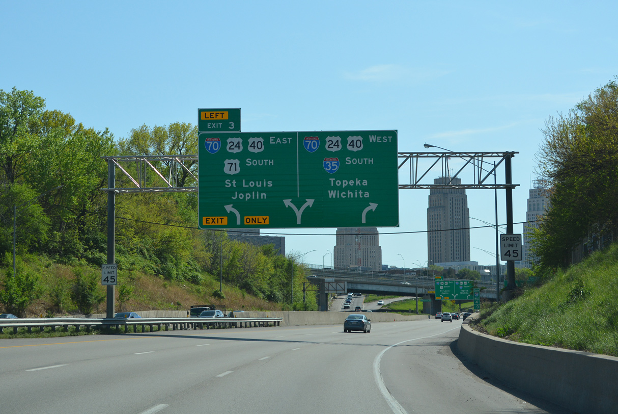
I-29/35 south cross the Missouri River over the Christopher S. Bond Bridge 1.5 miles ahead of Interstate 70 and the Alphabet Loop encircling Downtown Kansas City. 05/07/22
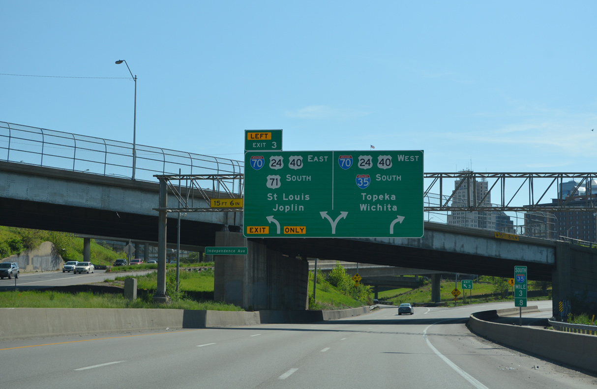
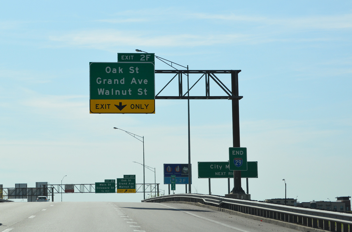
North East at
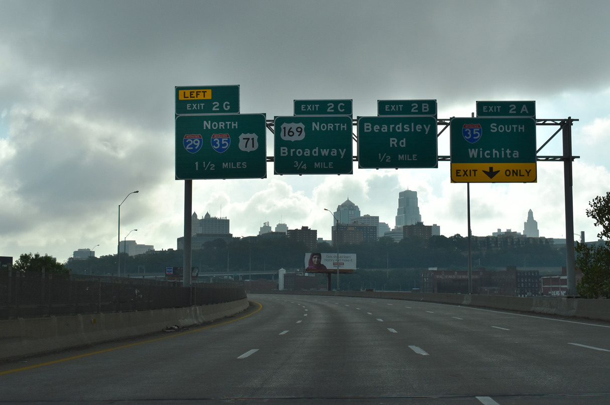
I-70/U.S. 24-40 elevate along the Lewis and Clark Viaduct east from the Kansas River across the West Bottoms Area in Kansas City to I-35 and the Alphabet Loop. 10/07/21
West at
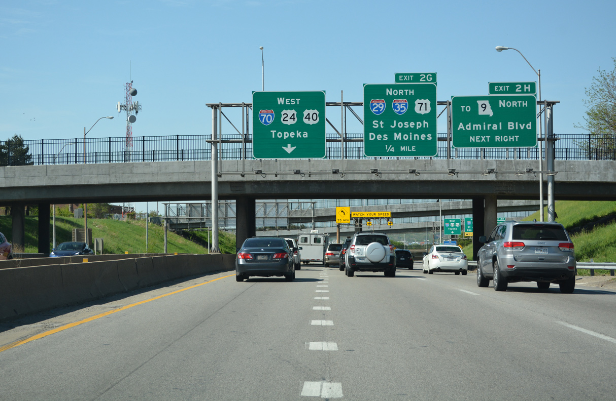
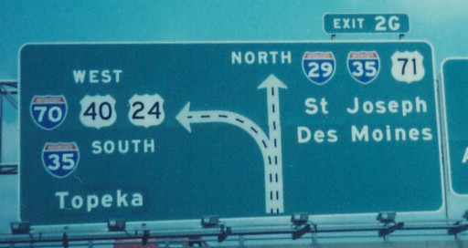
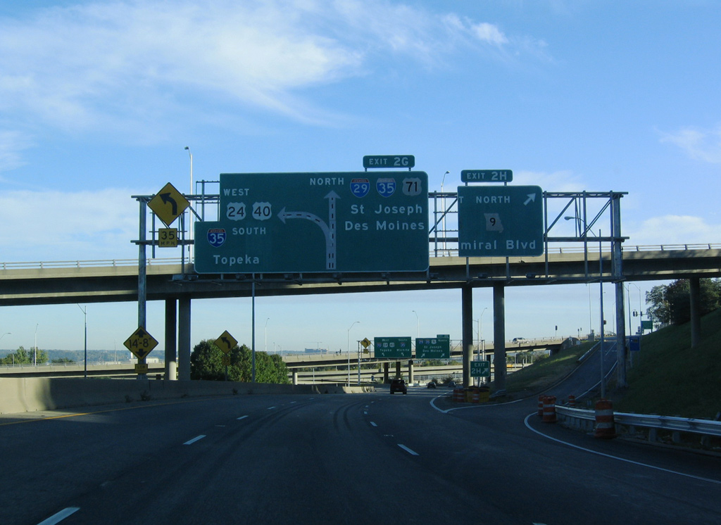
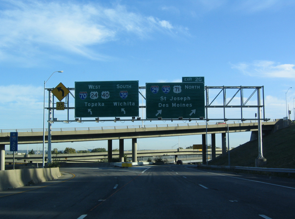
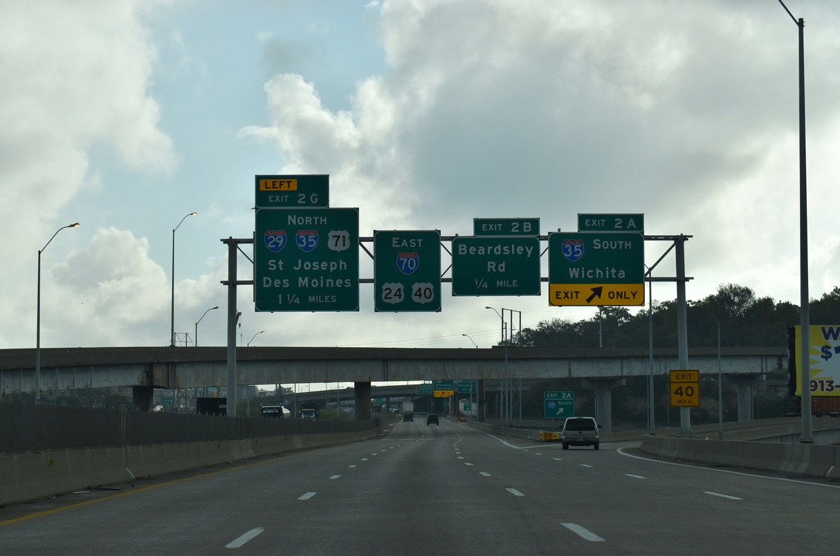
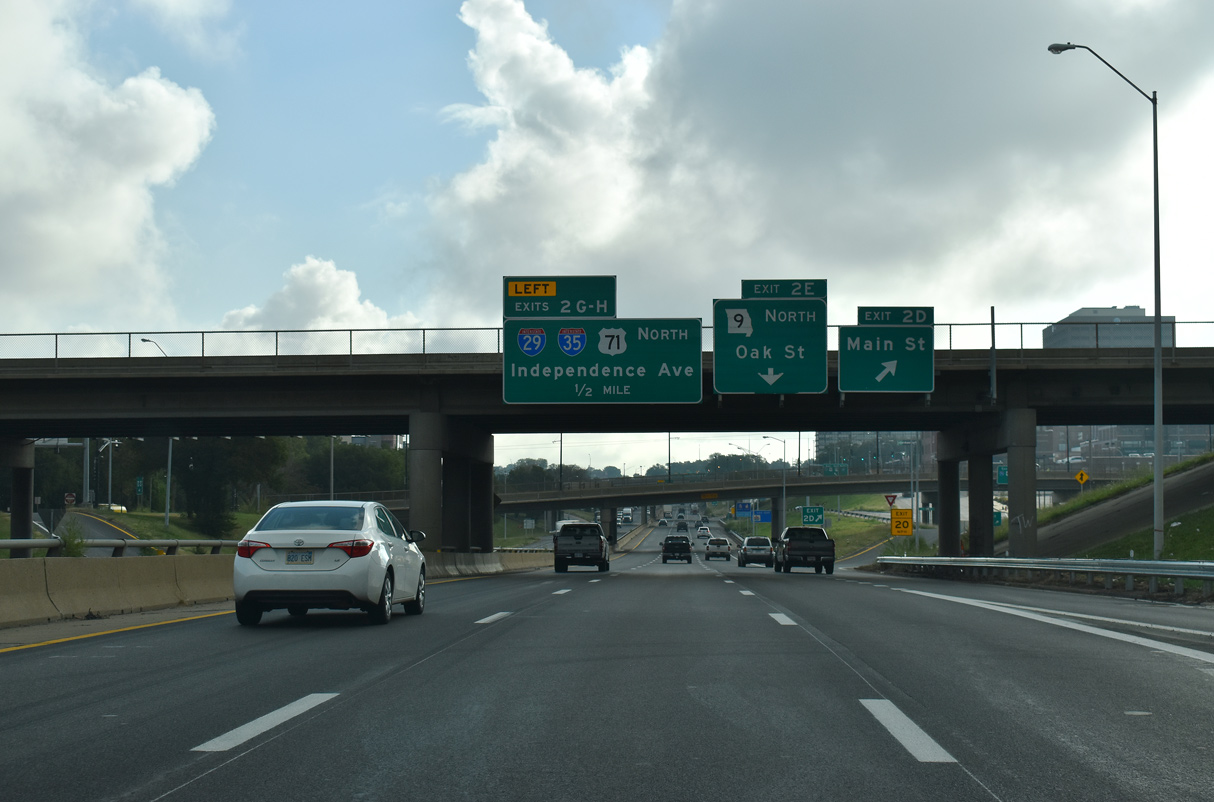
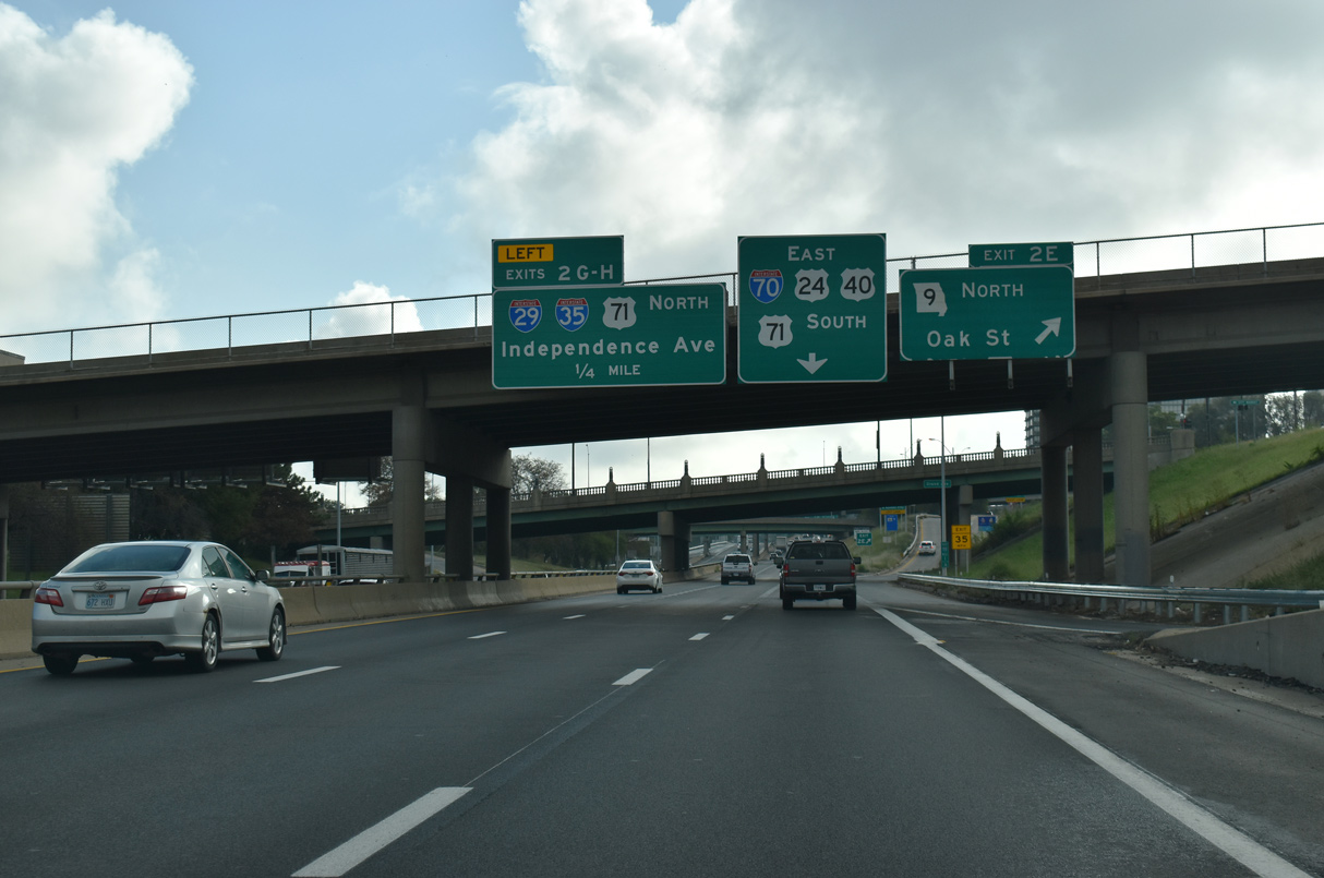
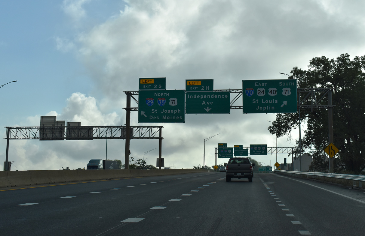
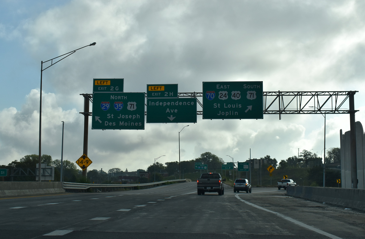
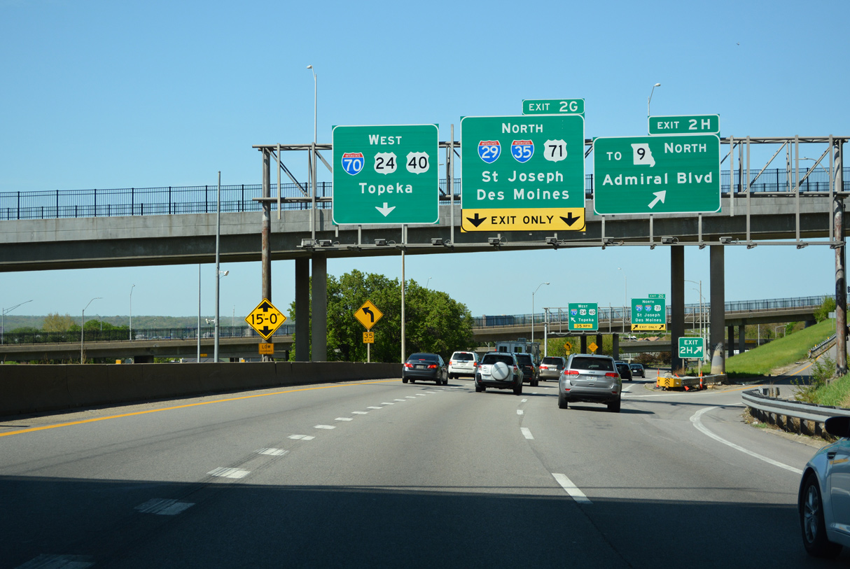
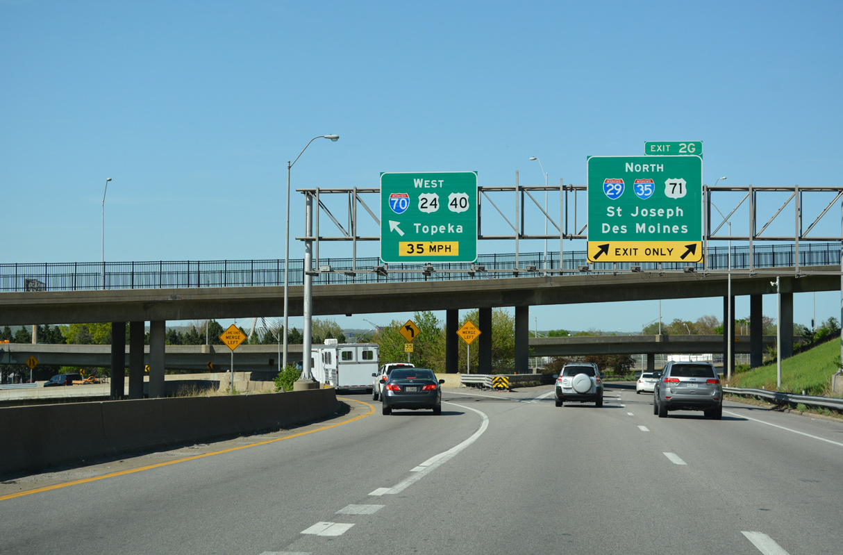
Ramps from I-670 east and U.S. 71 north converge with I-70/U.S. 24-40 at the 11th Street underpass, just ahead of the three wye interchange (Exit 2 G) with I-29/35 north. U.S. 71 uses the east leg of the Downtown loop from Hospital Hill to continue north along I-29/35 to the Columbus Park Industrial area. 05/07/22
North
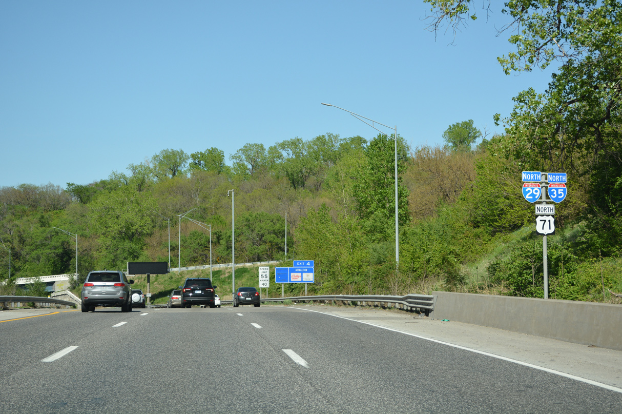
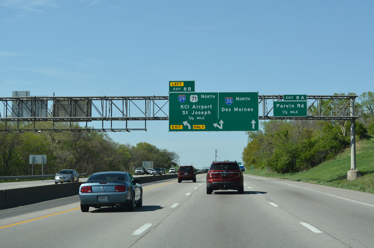
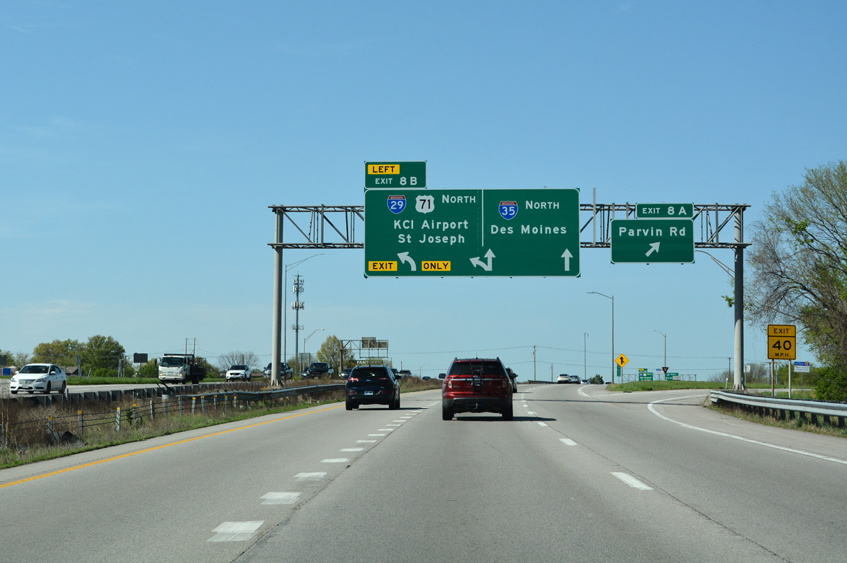
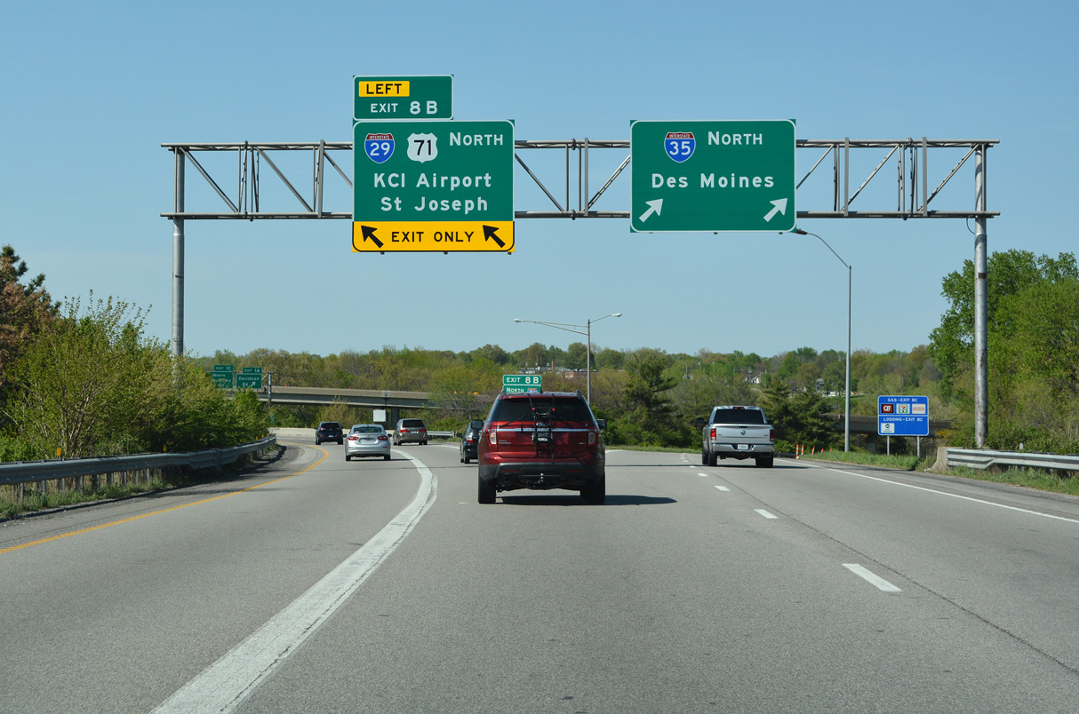
The first confirming marker for Interstate 29 appears along side I-35/U.S. 71 ahead of the wye interchange with The Paseo north. 05/07/22
South End – Past Views
Past Views Gallery (Tap to Expand / Collapse Section)
South at
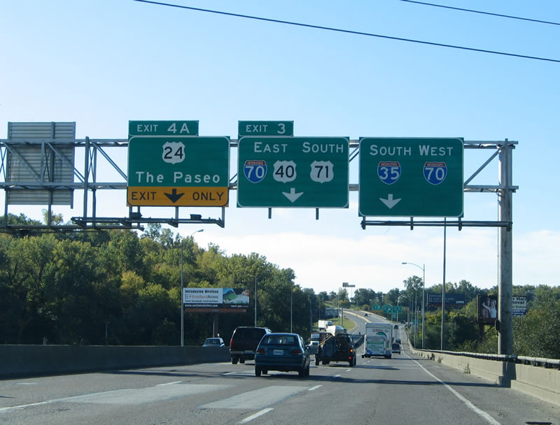
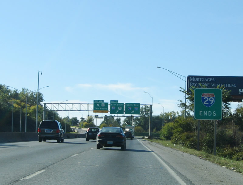
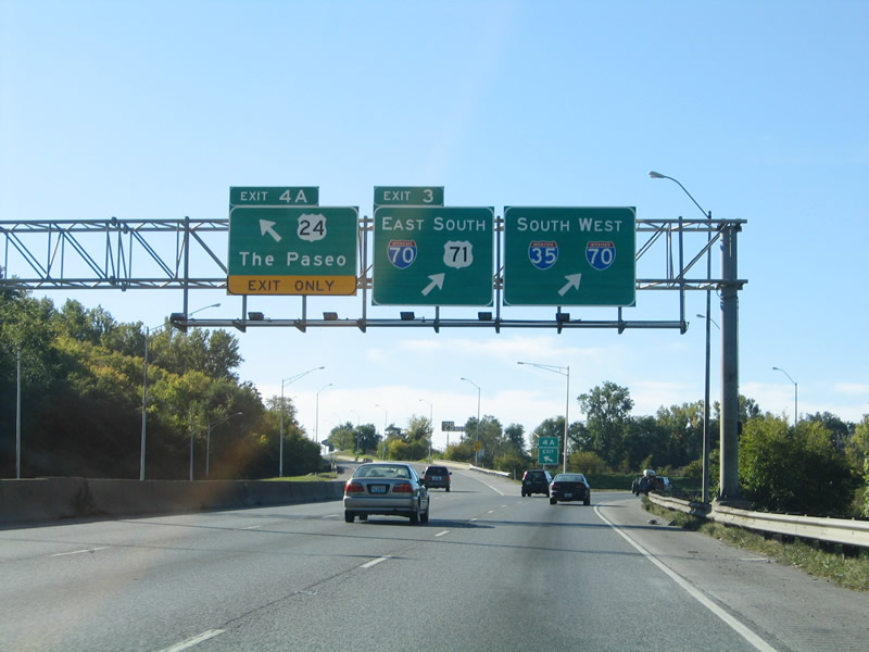
Traveling south along the old Paseo Bridge, I-29/35 carried just three lanes to the lane drop for the left exit with The Paseo. 10/17/04
East at
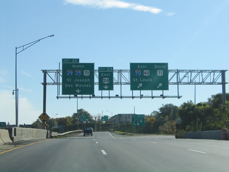
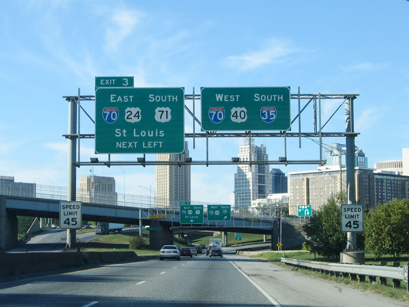
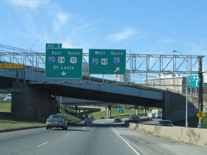
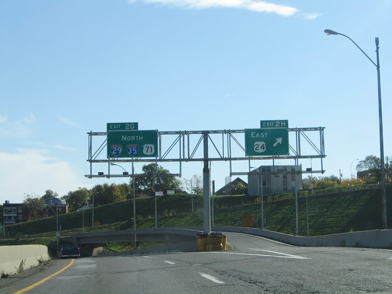
A sign change was made at Exit 2G by 2007 when the Interstate 70 mainline turn from the north leg to the east leg of the Downtown loop was restriped to a single lane. 10/17/04
West at
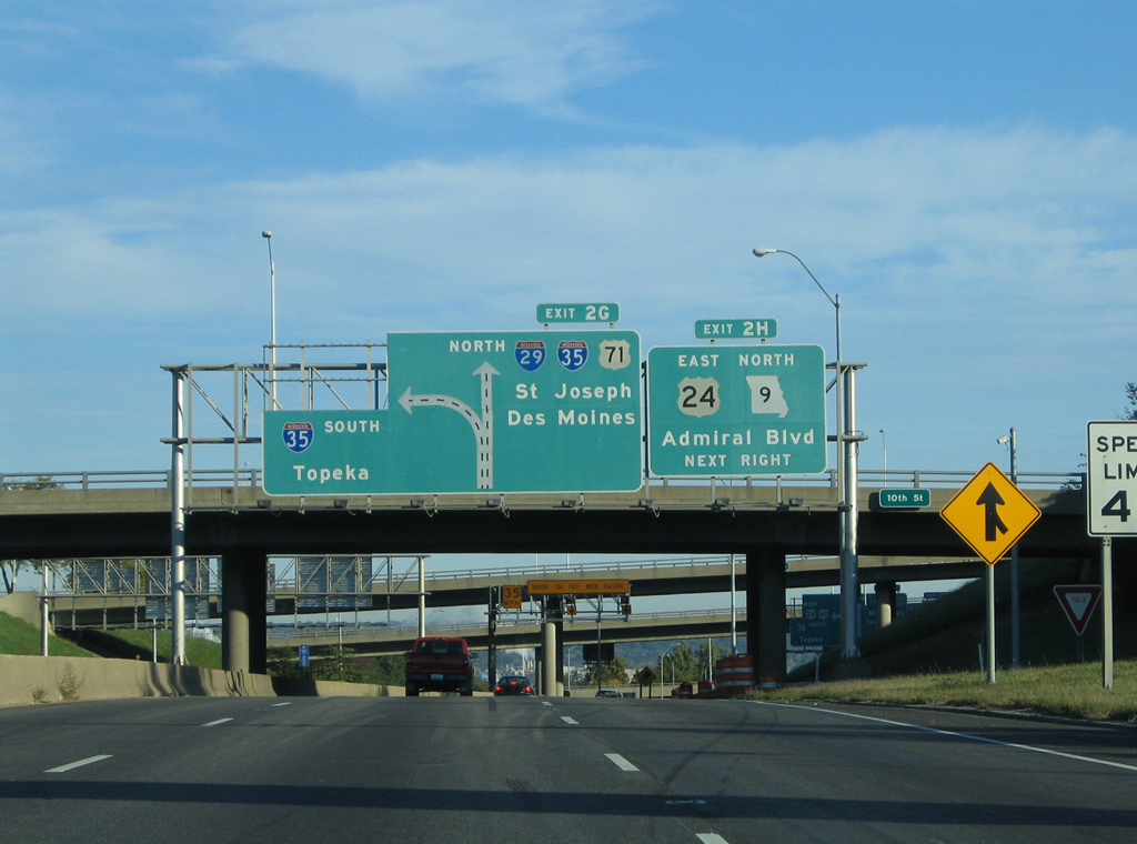
A pair of button copy signs previously posted at the 10th Street overpass outlined the succeeding off-ramps for Admiral Boulevard and I-29/35 north. 10/17/04