
Interstate 79
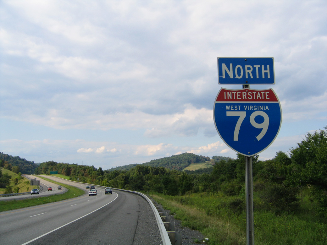
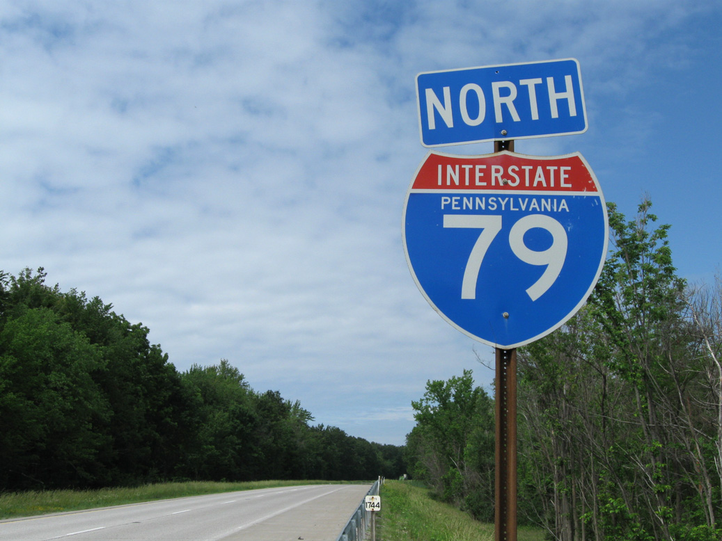
Overview
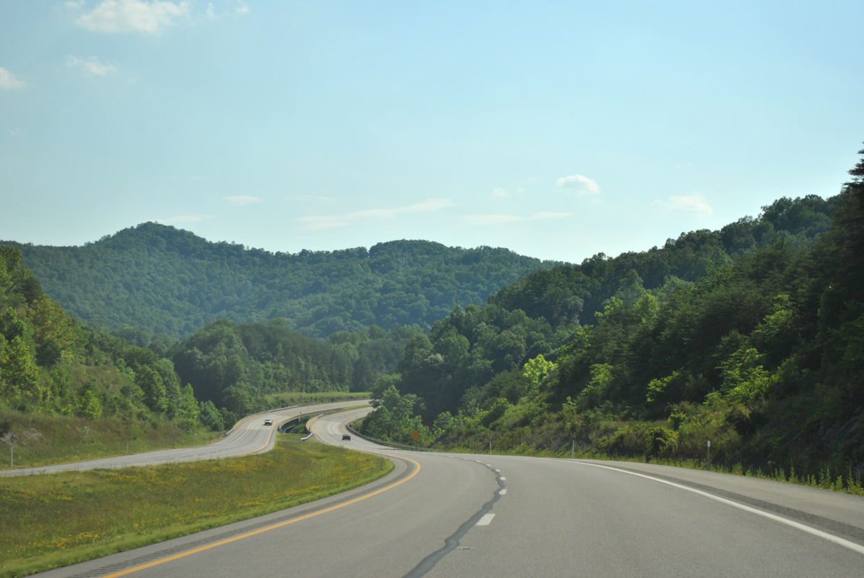
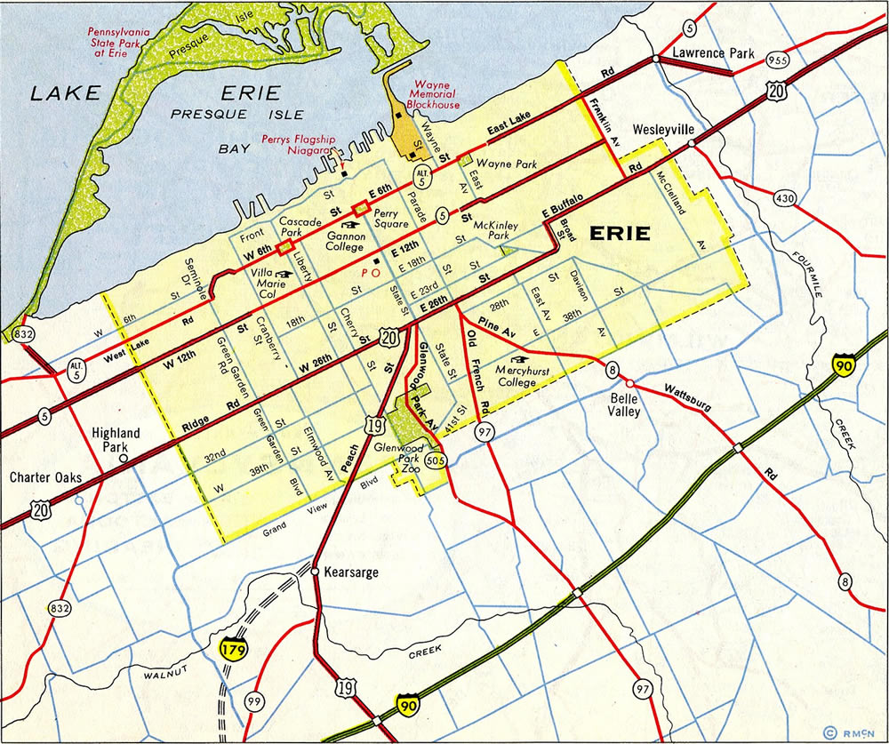
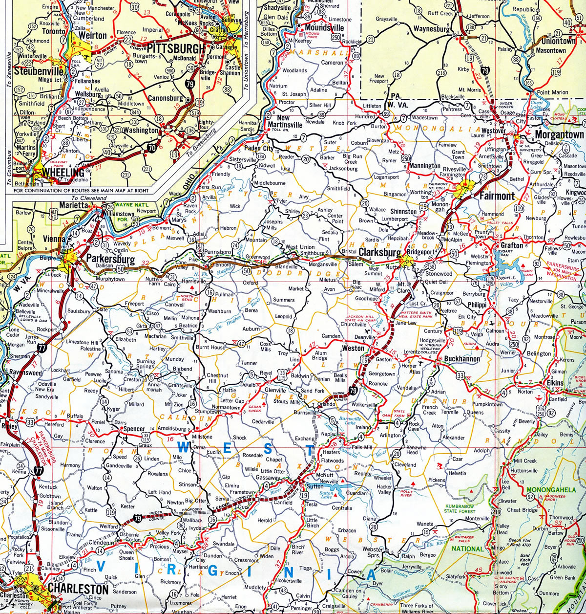
Interstate 79 constitutes a two-state freeway that links Charleston, West Virginia with Pittsburgh and Erie, Pennsylvania. The freeway winds northeast from the West Virginia capital city along a mountainous route to Clarksburg, Fairmont and Morgantown, home of the University of West Virginia. Heading into the Commonwealth of Pennsylvania, I-79 curves westward toward Waynesburg and Washington for a brief overlap with Interstate 70.
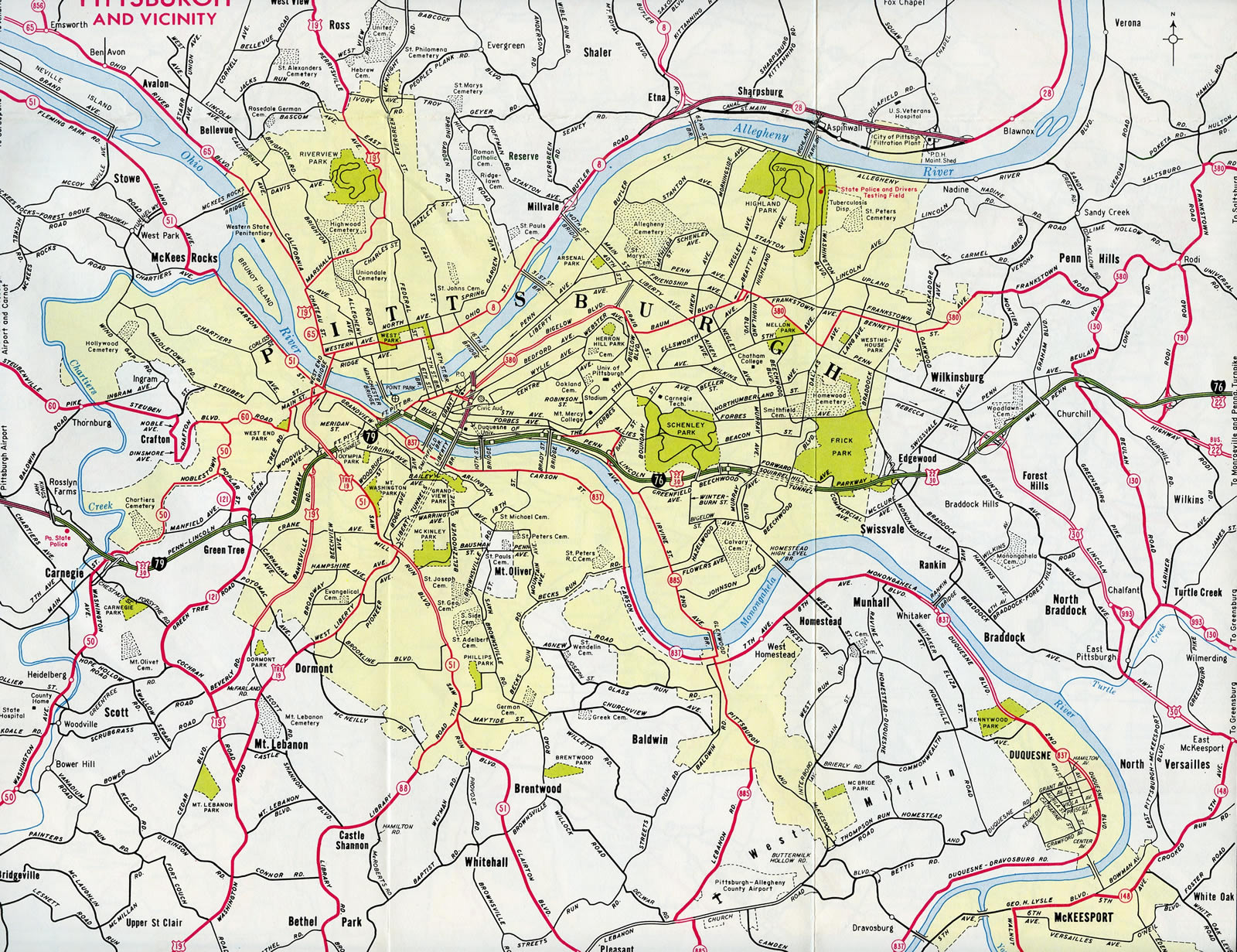
North from there, I-79 bends back to the east through Canonsburg, Bridgeville, Carnegie and other west Pittsburgh suburbs. The freeway bypasses the Steel City to the Ohio River at Corapolis and the Pennsylvania Turnpike at Cranberry Township. Beyond there from Harmony north toward Lake Erie, Interstate 79 travels a rural route to meet I-80 outside Mercer and I-90 at Mc Kean Township. The freeway transitions into Bayfront Parkway to the west of Downtown Erie at the north end.
Mileage by State
| West Virginia | 160.52 mi |
| Pennsylvania | 182.94 mi |
Data Sources
December 31, 2021 Interstate Route Log and Finders List
Parallel U.S. Routes
Interstate 79 largely follows U.S. 19 from Sutton, West Virginia north to Erie, Pennsylvania. The westward leg between Sutton and Charleston partially lines U.S. 119 from Clendenin to I-77 at Charleston. U.S. 119 also intermingles with the I-79 corridor through Morgantown.
History
Interstate 79 was initially established by American Association of State Highway Officials (AASHO) on June 27, 1958 to run from Erie south to Pittsburgh in Pennsylvania.1 The route south to Charleston was added during the 1960s. Through the Pittsburgh area, I-79 was planned to loop into the Steel City along the alignment of Interstate 279 / Parkway North, while I-279 would have provided the bypass route via the current alignment of I-79 through the western suburbs. This arrangement remain proposed until at least 1968. Also in 1960 Penn-Lincoln Parkway was designated as Interstate 70. It changed to I-76 by 1964 and eventually to Interstate 376. Renumbering of the main Interstates through Pittsburgh took place after it was determined that through traffic needs were more important.
Approved by AASHO on November 12, 1958, the northernmost segment of Interstate 79 between I-90 and the city of Erie was designated as Interstate 179.1 This changed by 1968, if not sooner. The only instance in the Interstate system where a 2-digit route ends as a branch route is in Dallas, Texas, where the north end of Interstate 45 transitions into unsigned IH 345.
Construction of Interstate 79 in Pennsylvania commenced in 1961 and finished in 1979.2
Cranberry Connector
A substandard connection between Interstate 79 and the Pennsylvania Turnpike (I-76), known as the Cranberry Connector, required travelers to use PA 228 to connect between two routes. This non-freeway connection and the associated crossing of U.S. 19 nearby generated travel headaches for years. A $44.3 million project conducted by PennDOT and the Pennsylvania Turnpike Commission replaced the surface link with a direct freeway connector. Construction included the building of a new collector distributor roadway along I-79 south to PA 228 (completed late September 2003) and a new roadway from I-76 to U.S. 19 and I-79 (completed on October 15, 2003).3,4
North End  ‐ Erie, PA
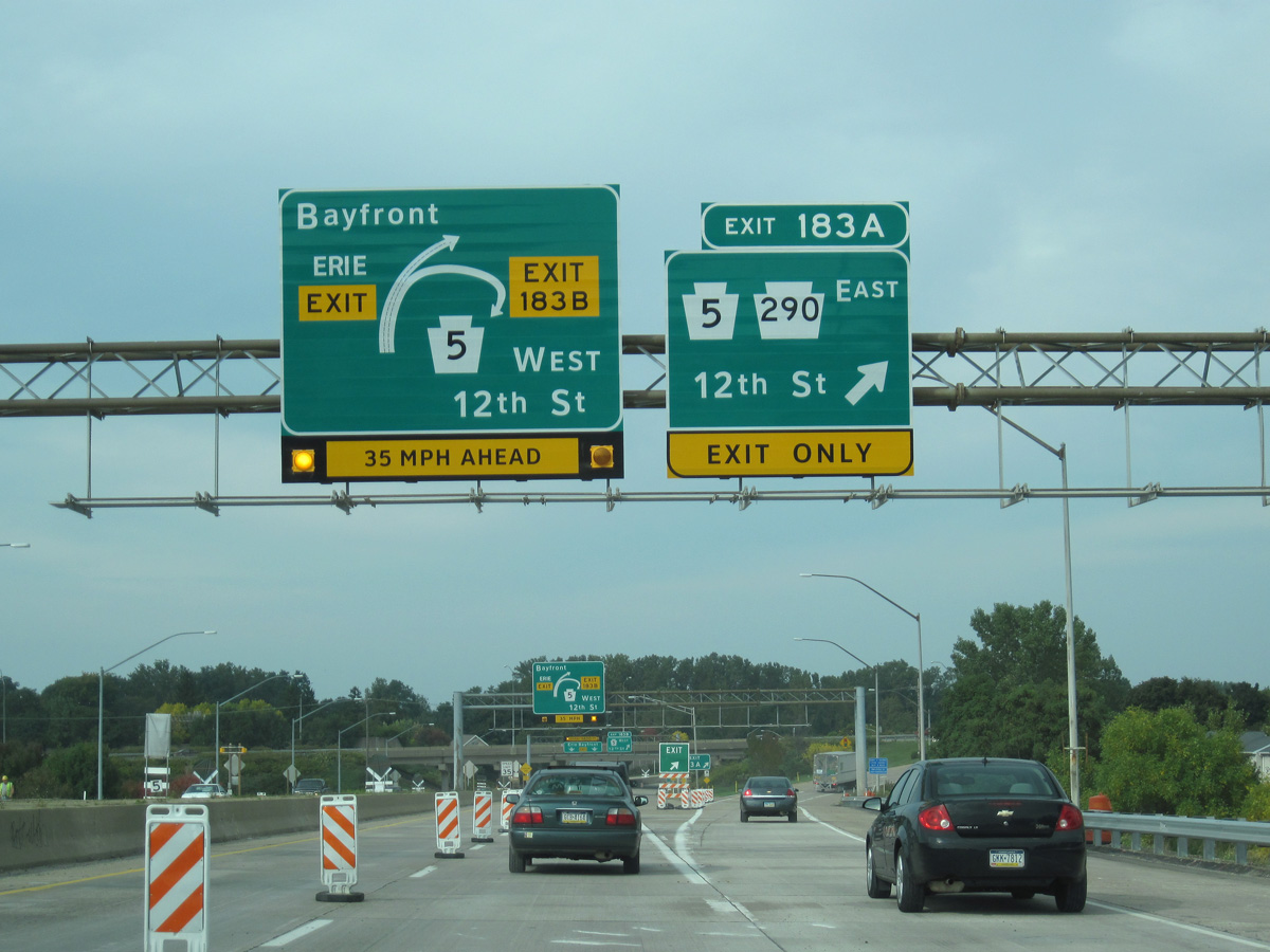
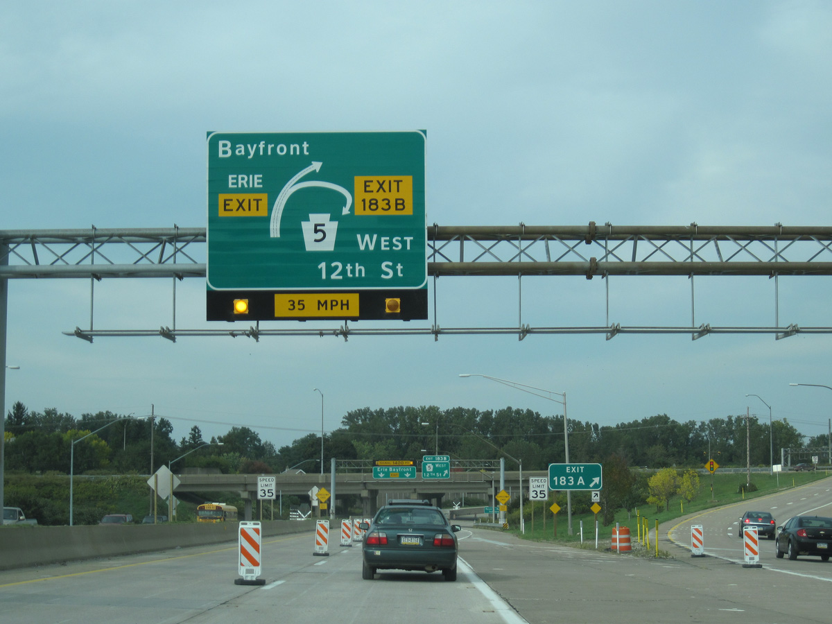
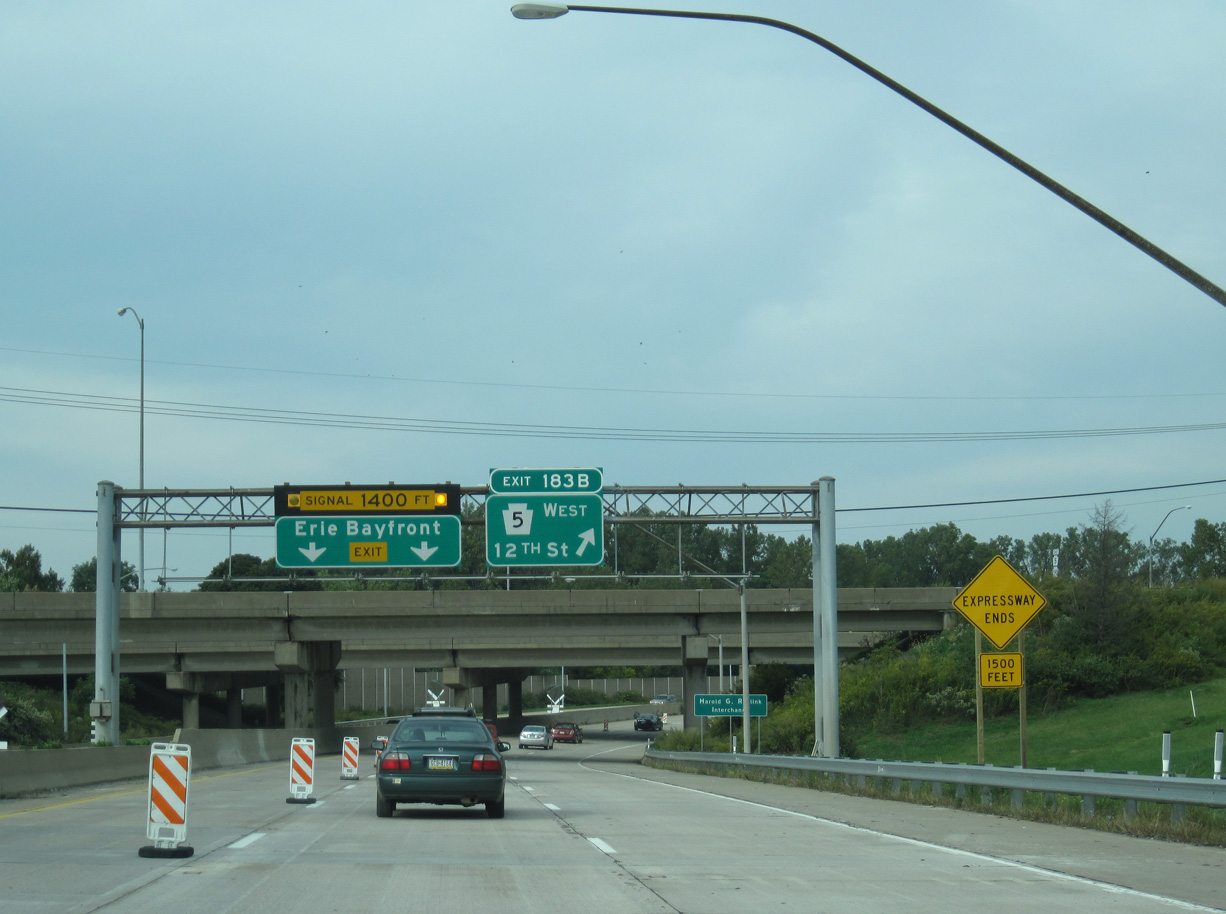
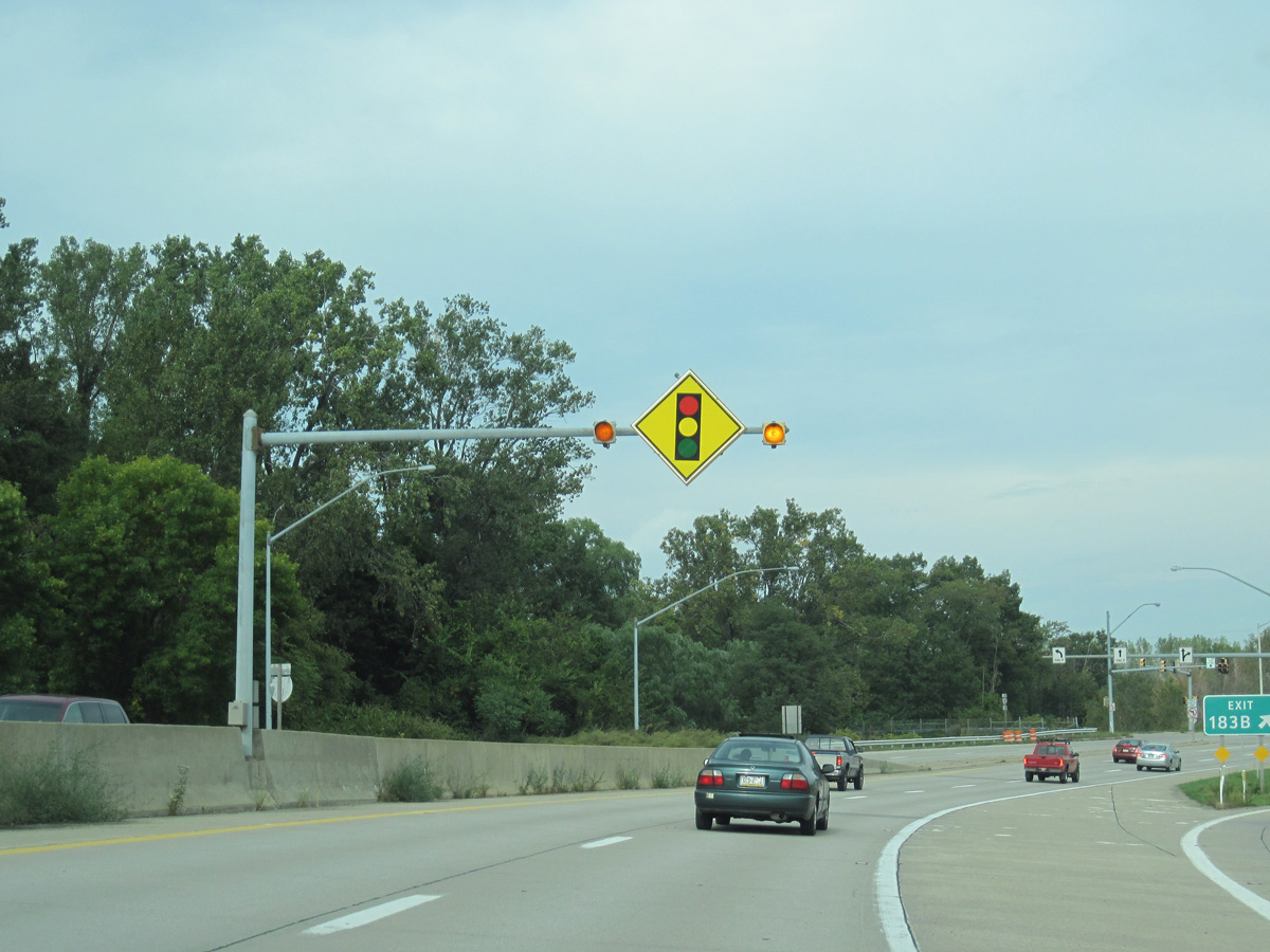
 North at Bayfront Pkwy
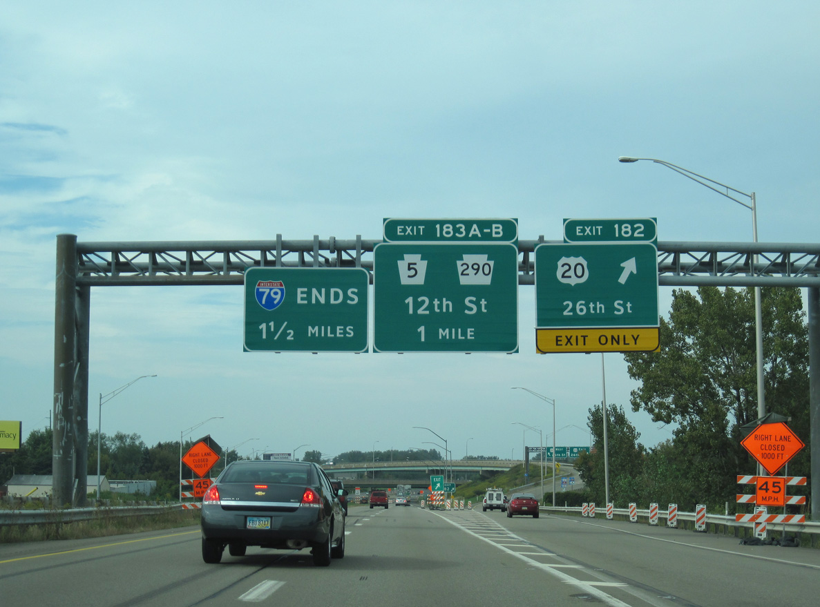
Interstate 79 ends 1.5 miles north of the exchange with U.S. 20 (26th Street). 09/30/10
Bayfront Pkwy South at
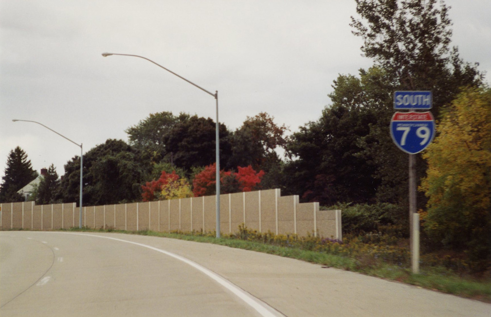
The first reassurance shield for Interstate 79 appears just beyond the freeway beginning from Bayfront Parkway at Lincoln Avenue. 10/09/01
North End – Past Views
Past Views Gallery (Tap to Expand / Collapse Section)
at Bayfront Pkwy
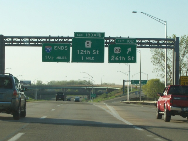
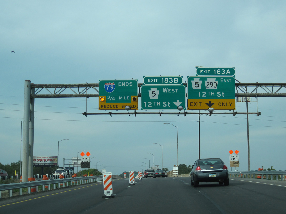
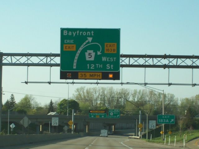
Sign changes at the north end of I-79 for Exit 183A added PA 290 east for 12th Street. Photo by Tim Kubat (04/06).
South End  ‐ Charleston, WV
South at
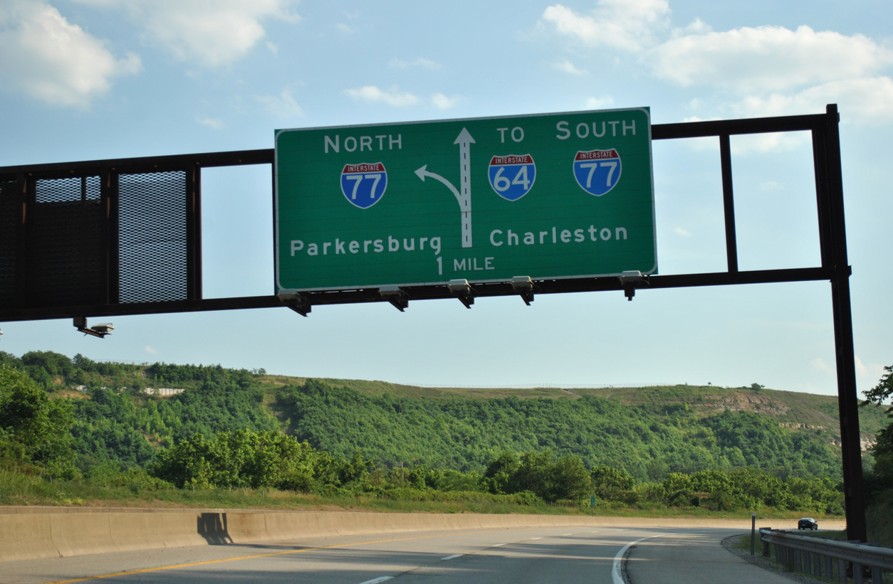
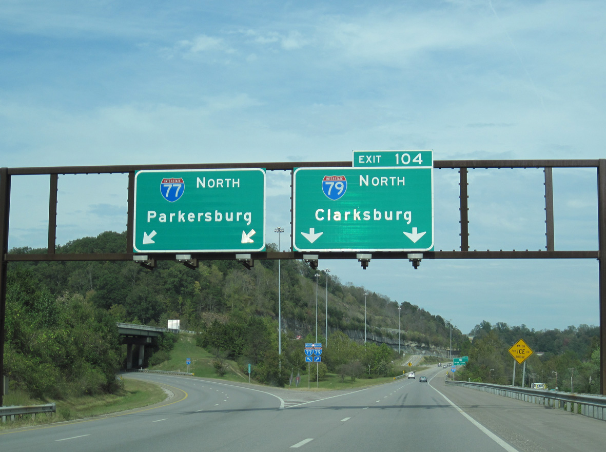
Interstate 79 runs along side the Elk River on a winding course from U.S. 119 (Pennsylvania Avenue) 1.3 miles to the left exit for I-77 north. 06/24/12
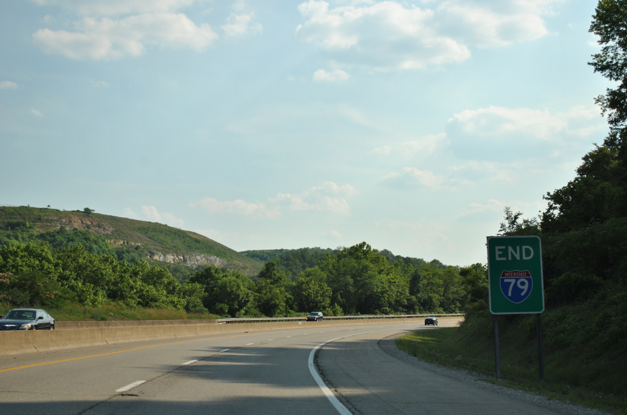
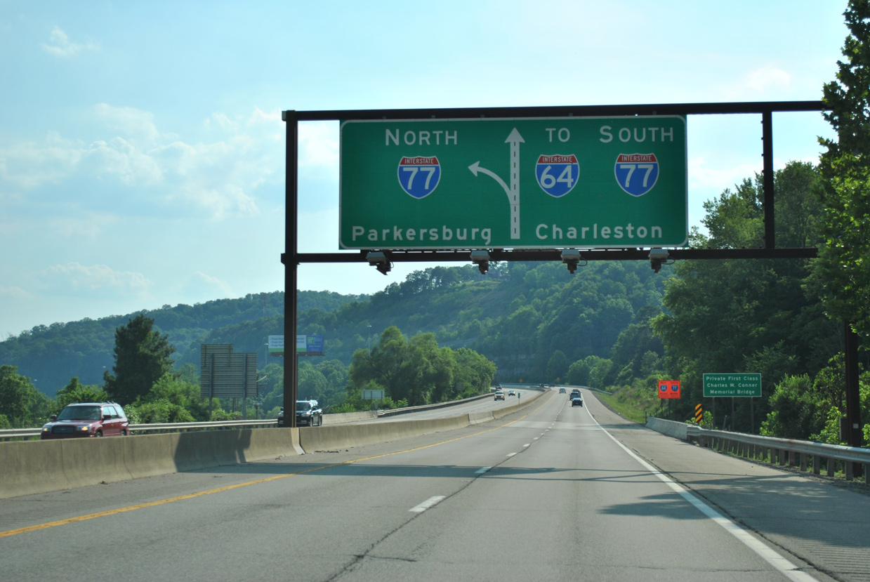
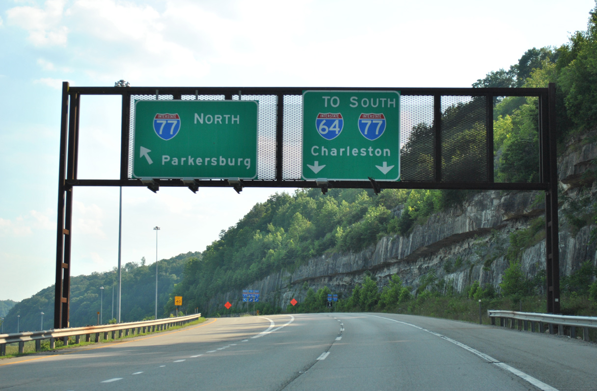
North at
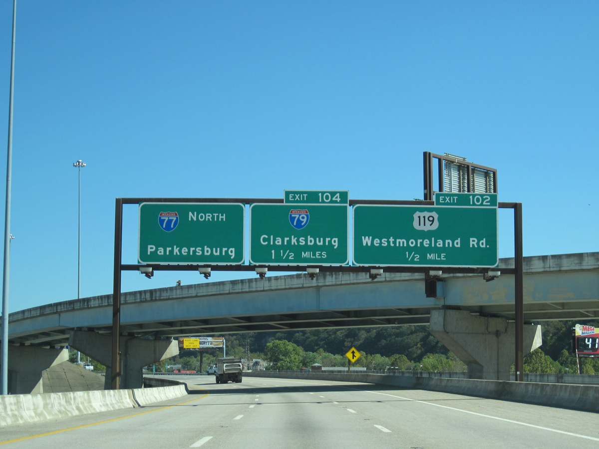
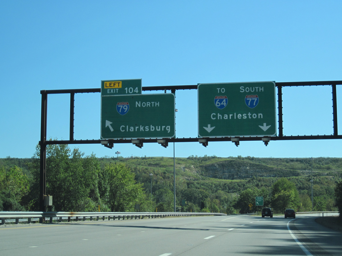
A two-lane left exit separates from Interstate 64 east for I-77 north to I-79 through a three-wye interchange northeast of Downtown Charleston. 10/02/10
South at
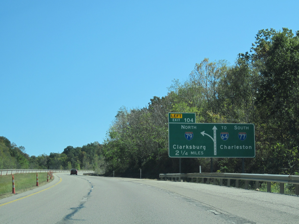
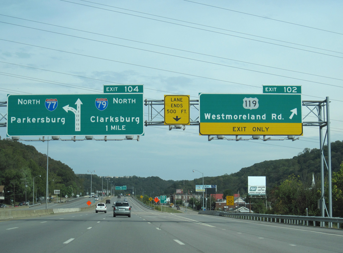
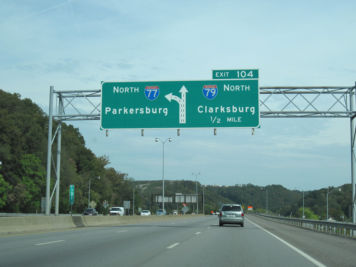
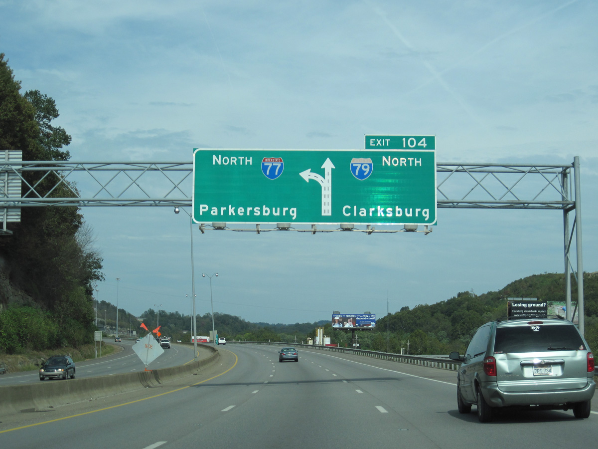
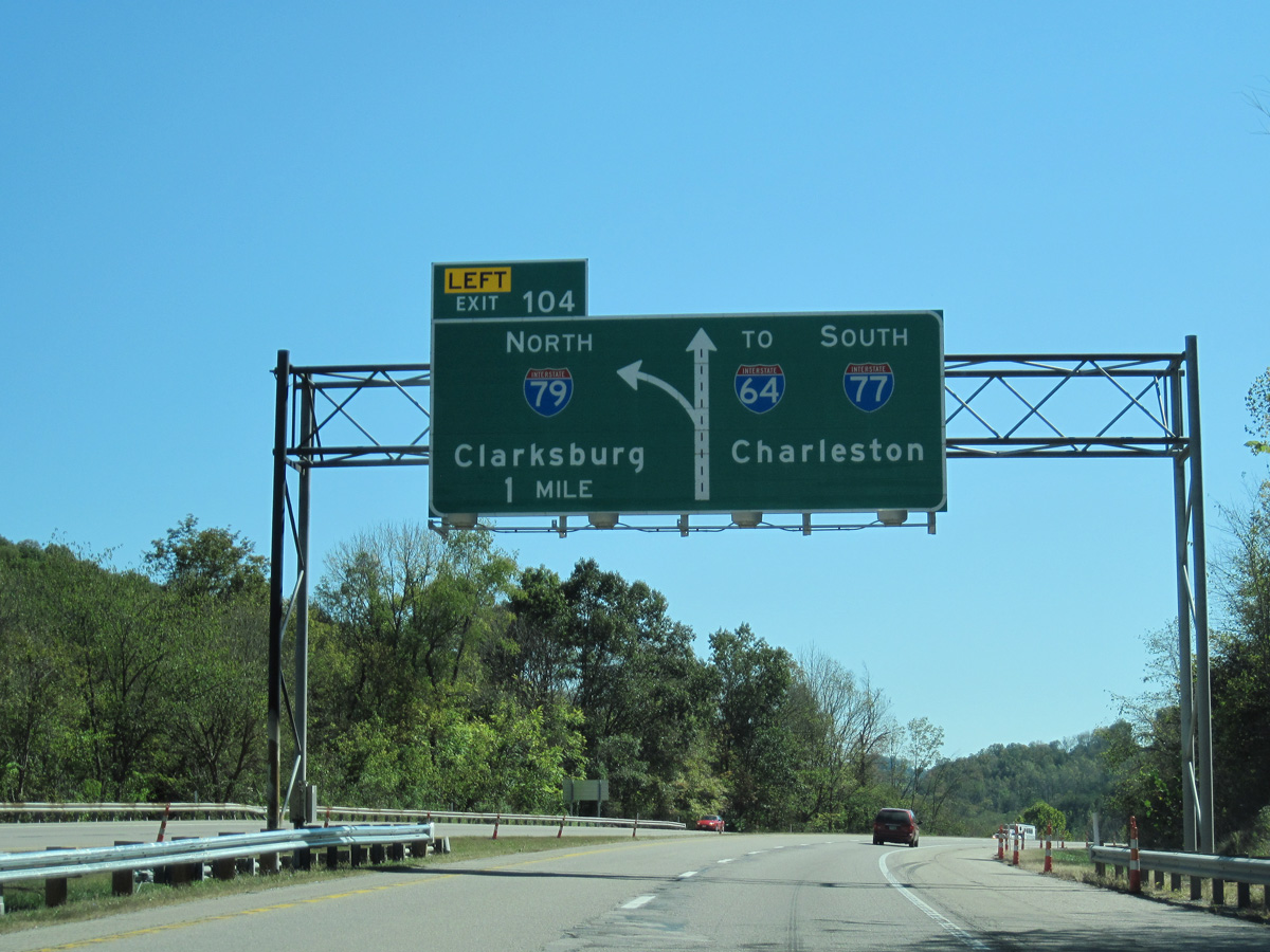
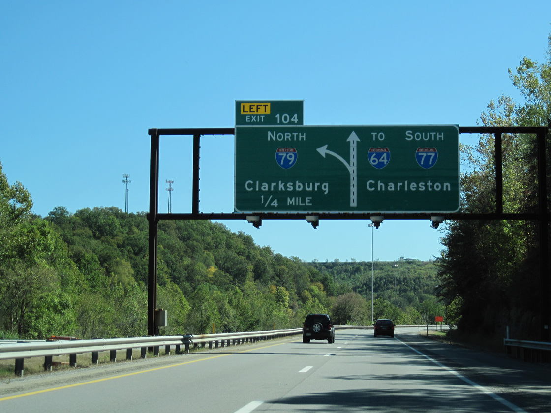
The initial diagrammatic sign for Interstate 79 north appears 2.25 miles ahead of Exit 104. 10/02/10
North
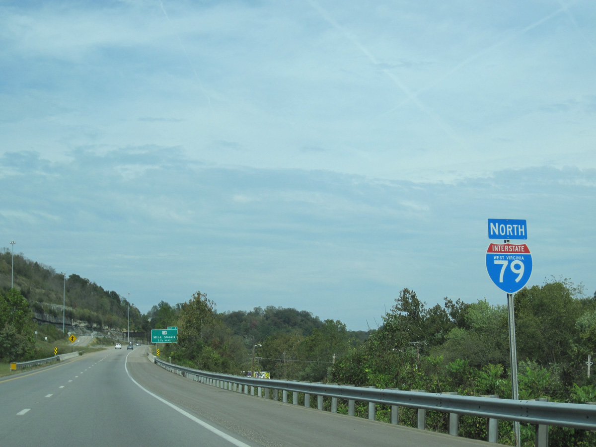
The first confirming marker for I-79 stands ahead of the left side entrance ramp from I-77 south to the freeway northbound. I-79 traverses mountainous terrain on the 119-mile drive to Clarksburg. 10/02/10
References
- Summers, S. Interstate system route numbering. Retrieved from http://www.nwindianahwys.homestead.com/INTER_MAIN.HTML
- Kitsko, J. (2024, February 16). Interstate 79. Pennsylvania Highways. Retrieved from https://www.pahighways.com/interstates/I79.html
- PennDOT touts benefits of Cranberry Connector. (2003, September 6). The Post-Gazette.
- Kitsko, Jeff. "Remaining ramps of the Cranberry Connector Opening Right Now." Online posting, misc.transport.road, October 15, 2003.