
Interstate 279 Pennsylvania
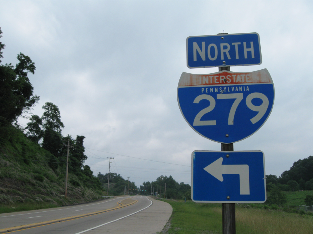
Overview
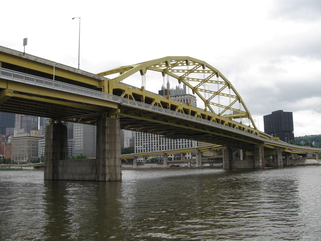
Originating at the Fort Pitt Bridge east end by the Point in Pittsburgh, Interstate 279 is an urban loop joining Downtown with Franklin Park in the northern suburbs. I-279 spans the Allegheny River across the Fort Duquesne Bridge to join Parkway North by Acrisure Stadium (home of the Pittsburgh Steelers NFL franchise) and PNC Park (home of the Pittsburgh Pirates MLB franchise) along the North Shore. Parkway North turns northward at East Allegheny and continues past Bellevue and Westview to connect with Interstate 79.
Prior to June 2009, Interstate 279 extended west from Downtown Pittsburgh onto Parkway West via the Fort Pitt Bridge to I-79 near Carnegie. This route traveled through the vicinity of Crafton and Green Tree, and under Mount Washington via the Fort Pitt Tunnel. It was replaced by a northwestern extension of Interstate 376, following an interim period of dual signage along Parkway West.
Mileage by State
| Pennsylvania | 13.32 mi |
Data Sources
December 31, 2021 Interstate Route Log and Finders List
History
The Parkway West segment, which is now designated as Interstate 376 and U.S. 22-30, is much older than the Parkway North section of I-279. Parkway North was constructed in the mid to late 1980s while Parkway West was constructed in the 1950s. The Fort Pitt Bridge opened in 1959 and the Fort Pitt Tunnel opened in 1960. Both were incorporated into the Interstate system in the 1960s.1 A road trip through the area in June 1989 revealed stub ramps at the then future northern terminus.
Starting in 1993, various portions of Interstate 279, including the Fort Pitt Bridge and Tunnel, closed for major road work as part of a long term rehabilitation project along Parkway West.2 The $200 million project culminated with the October 1, 2003 opening of the two lane, 2,500 foot long ramp taking inbound Parkway West traffic to the outbound Parkway East over Monongahela Wharf. The final two year $84.2 million project finished two weeks ahead of schedule. Additionally the Stanwix Street off-ramp on Interstate 376 east opened to traffic in conjunction with the Fort Pitt Bridge ramp.3 The multiyear project included improvements to the Fort Pitt Tunnel, Fort Pitt Bridge, and other associated ramps along the freeway.
A $67.5 million project through Spring 2009 expanded Parkway West to six and eight lanes along a 1.5 mile long stretch in the vicinity of Carnegie. Construction also lowered a hill by as much as eight feet to improve safety and added two ramps omitted from the mid 1970s construction of the interchange linking I-79 and 279. The original $17 million exchange was one of the most expensive in the state at the time and two ramps were dropped from the final design to cut costs. Their removal was also based upon traffic being directed onto PA 60 (Steubenville Pike) from I-79 south to Pittsburgh International Airport. Steubenville Pike was vastly more rural then with upgrades planned to handle airport bound traffic.4,5
Opened in November 2008, the new ramp connecting Interstate 79 south to the Parkway West westbound includes a 640 foot long flyover over Campbells Run Road. The new ramp linking Parkway West eastbound with Interstate 79 north includes a 1,500 foot long flyover over both freeways. Opening of these ramps was forecast to bring a 35% reduction in traffic on nearby PA 60 (Steubenville Pike).4
Numbering Changes
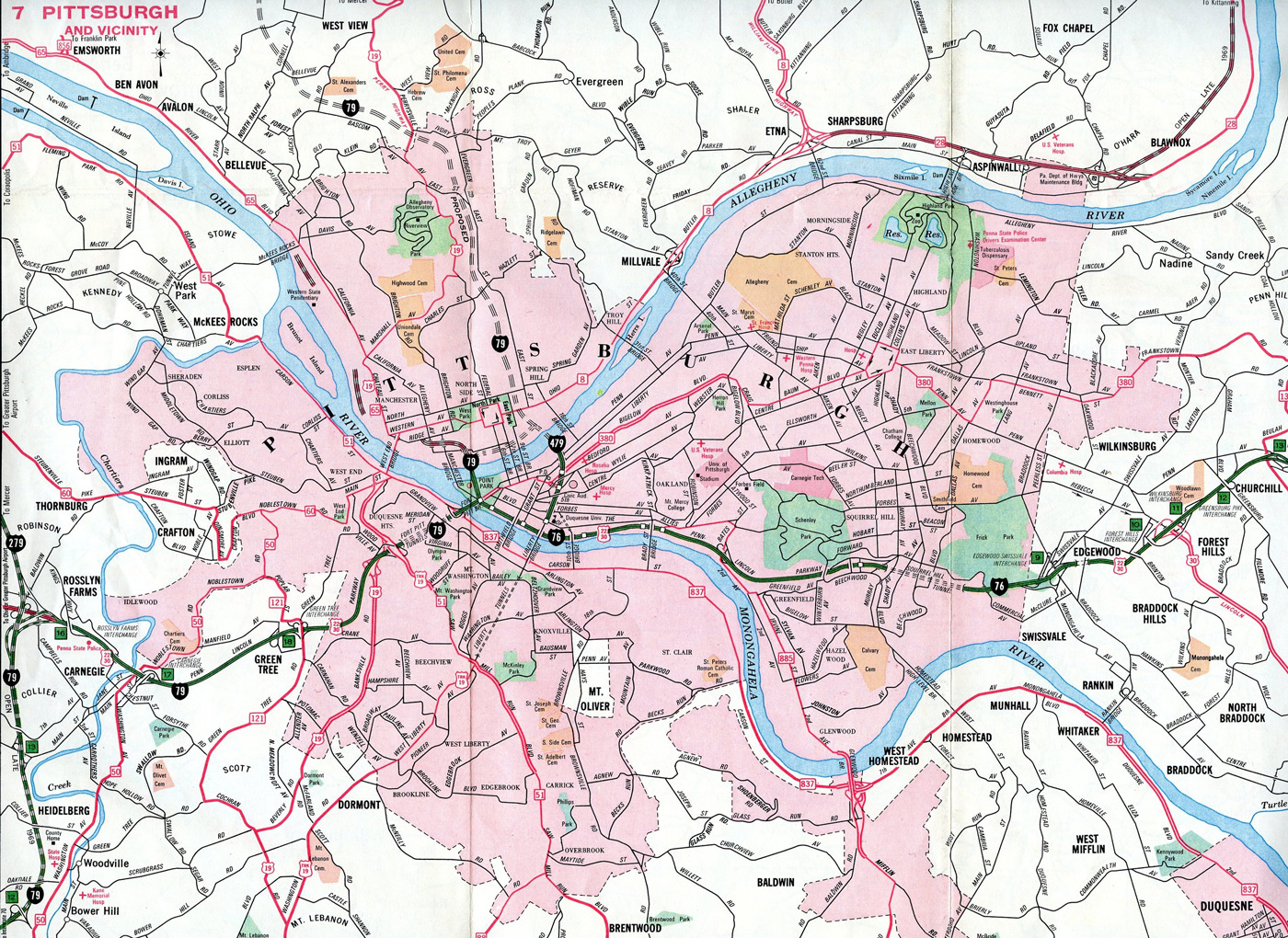
Several changes were made to the Pittsburgh's Interstates during the first 15 years of the system. For Interstate 279, the route was initially proposed as a western bypass of Pittsburgh, with the I-79 mainline looping east to Downtown via the Fort Duquesne Bridge and Penn Lincoln Parkway West to Carnegie. A succeeding change took place on June 30, 1970, with the American Association of State Highway Officials (AASHO) approval of the following:
- Reroute Interstate 79 onto its current alignment west of Pittsburgh
- Reassign I-279 to the Parkway North section of the urban loop between the Fort Pitt Bridge at the Point and I-79 at Franklin Park
- Renumber Parkway West as a westward extension of Interstate 76 (the Pennsylvania Turnpike mainline northwest from Monroeville was still a part of Interstate 80S).
Interstate 279 was extended westward over Parkway West the following year as approved by AASHTO on December 3. I-279 overtook I-76 west from the Fort Pitt Bridge to I-79, as I-76 was reassigned to the remainder of the PA Turnpike northwest to Ohio and Parkway East was renumbered as new Interstate 376. This configuration remained in place until 2009, when I-376 was designated over Parkway West as part of a 70 mile long extension to I-80 near the borough of Wheatland.
North End  ‐ Franklin Park, PA
 North at
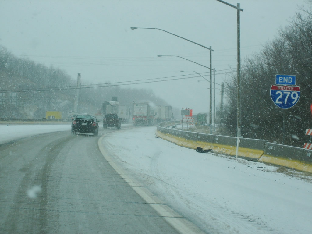
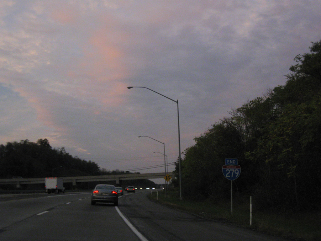
An end I-279 shield assembly stands along side the northbound transition ramp to Interstate 79 north. This sign was replaced by 2010. Photo by Patrick Lilja (2006).
South at
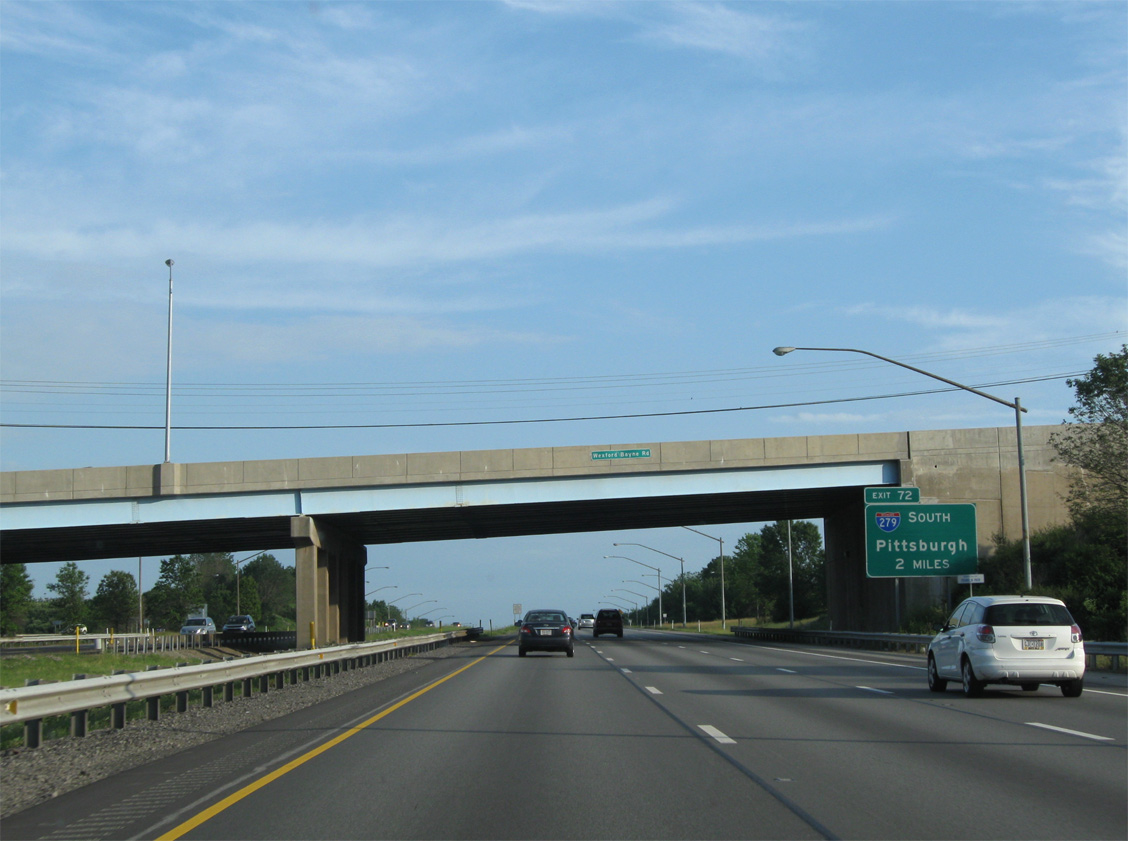
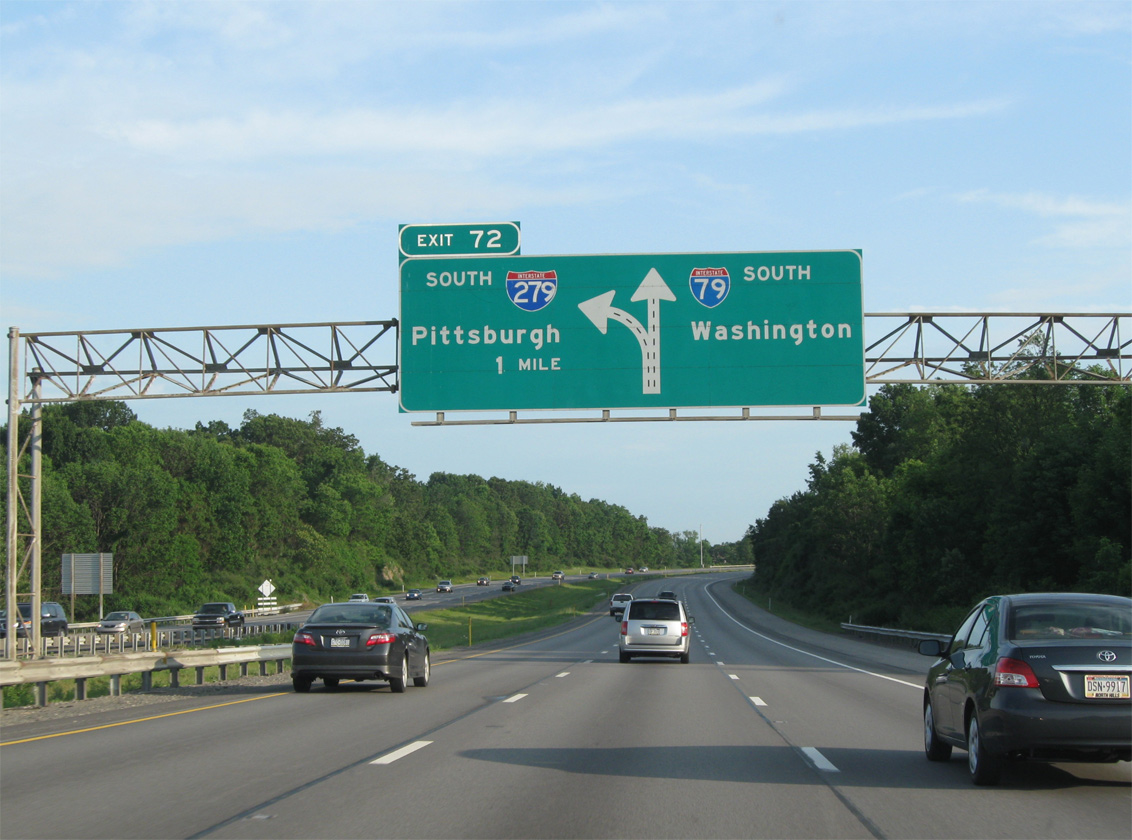
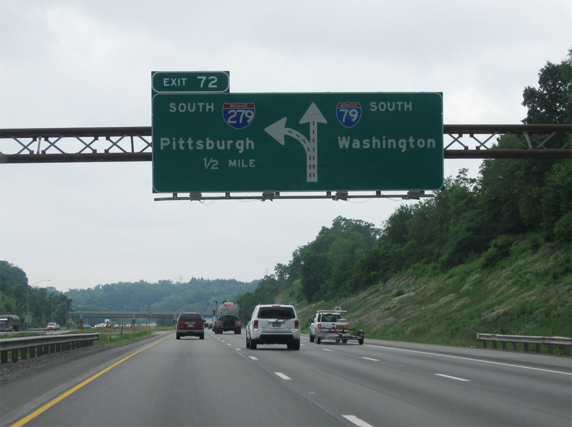
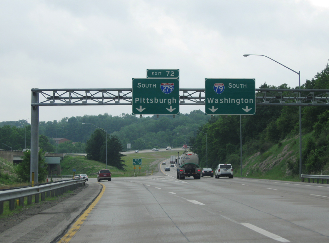
Interstate 79 splits with I-279 two miles south of the diamond interchange (Exit 73) with PA 910 in the borough of Franklin Park. 06/11/10
South End 

 ‐ Pittsburgh, PA
East at
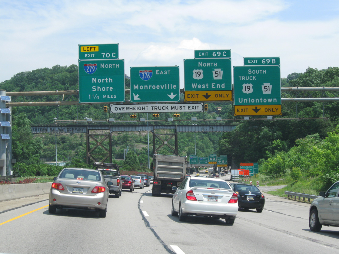
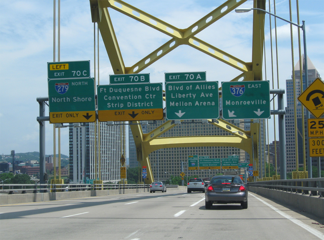
The first sign for Interstate 279 (Exit 70C) appears as U.S. 19 north merges onto I-376/U.S. 22-30 (Parkway West) east from Banksville Road. Four lanes proceed 0.2 miles to lane drops at both Exits 69B and 69C. 06/11/10
West at
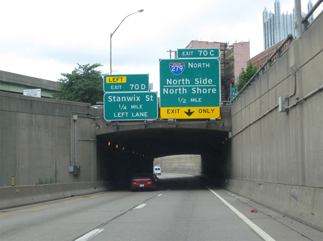
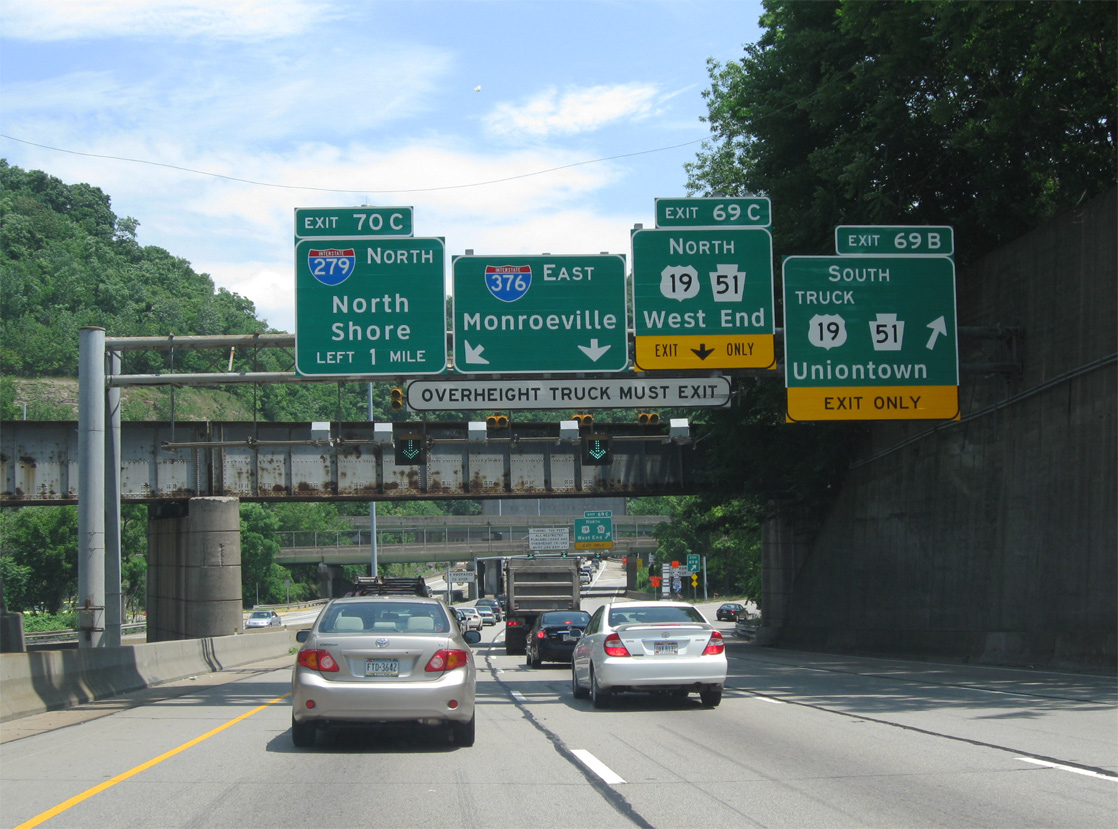
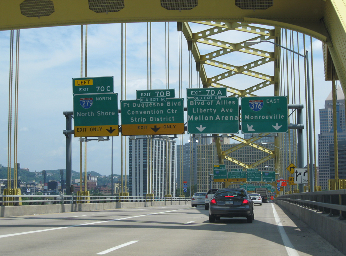
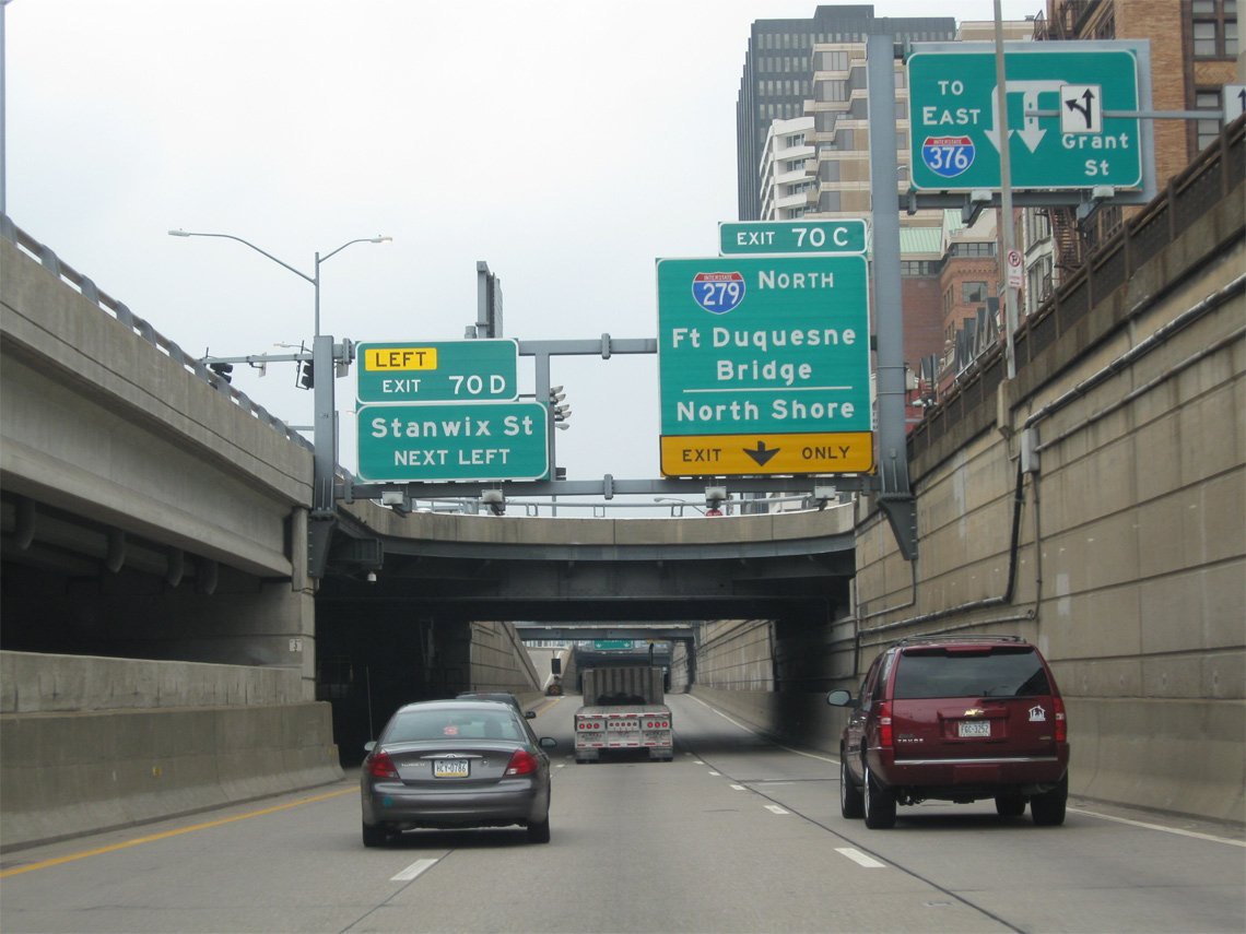
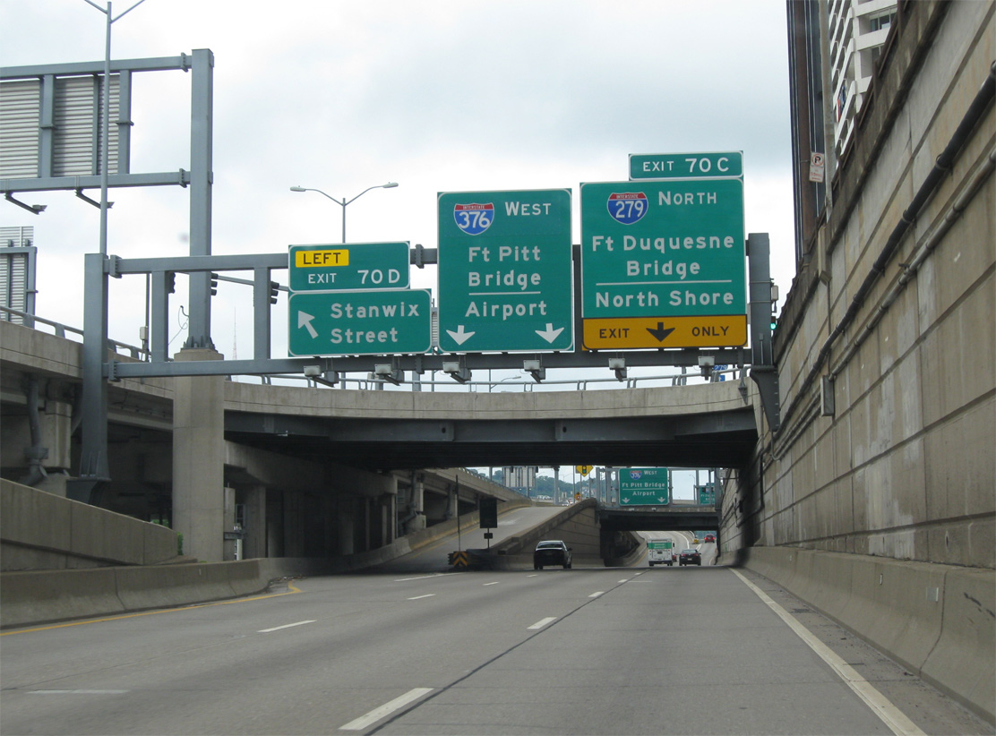
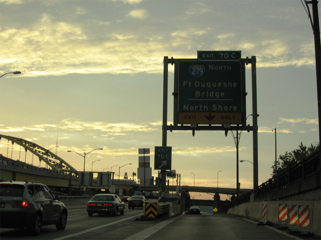
Westbound I-376/ U.S. 22-30 passes through a tunnel below ramps linking Grant Street and Fort Pitt Boulevard with Parkway East and the Smithfield Street Bridge on the half mile preceding Exit 70 C to Interstate 279 north. 06/12/10
Historic South End ‐ Carnegie, PA
Past Views Gallery (Tap to Expand / Collapse Section)
South West at
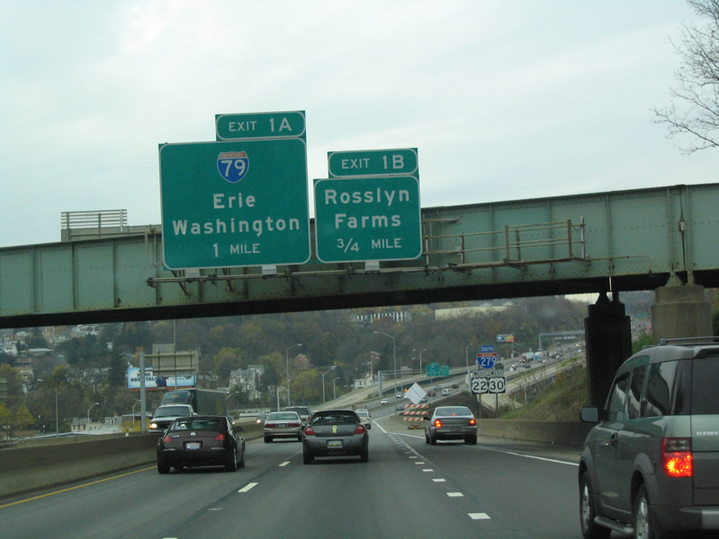
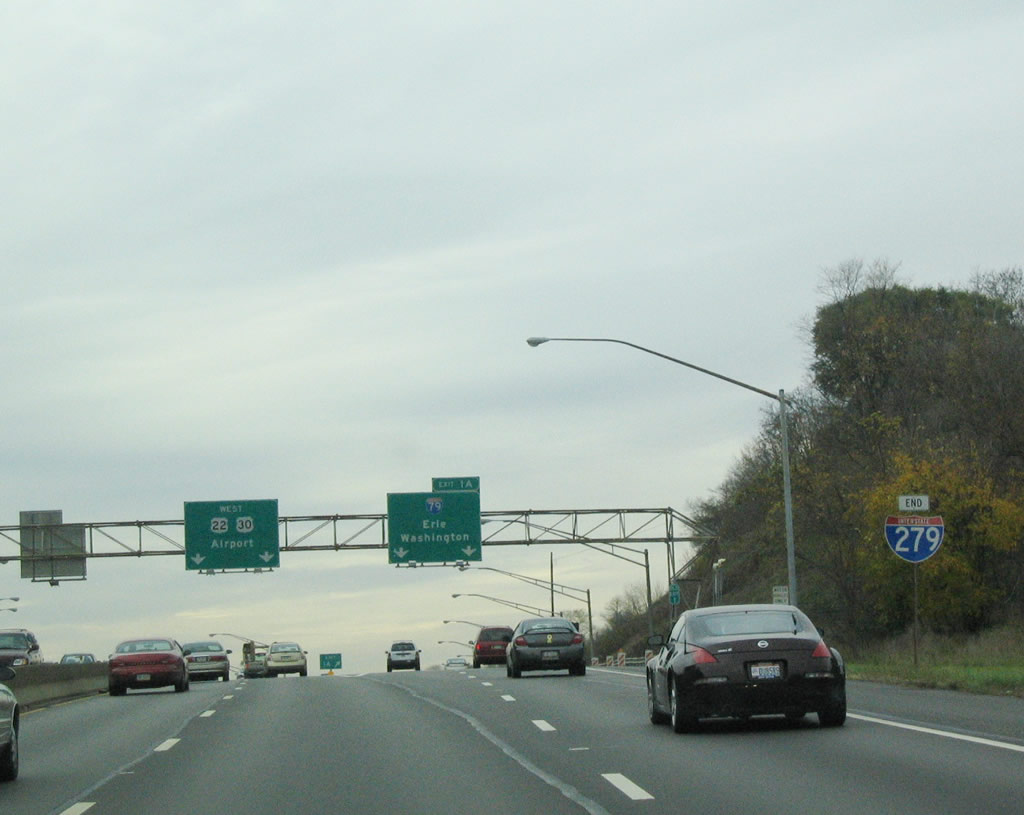
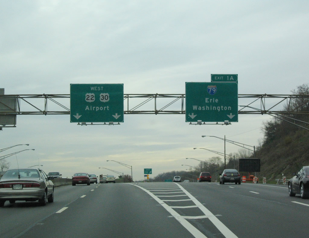
Interstate 279 (Parkway West) south lowered across Chartiers Creek on the mile leading to then Exit 1 A with I-79. This set of signs was still in use as of 2015. 10/31/04
East at
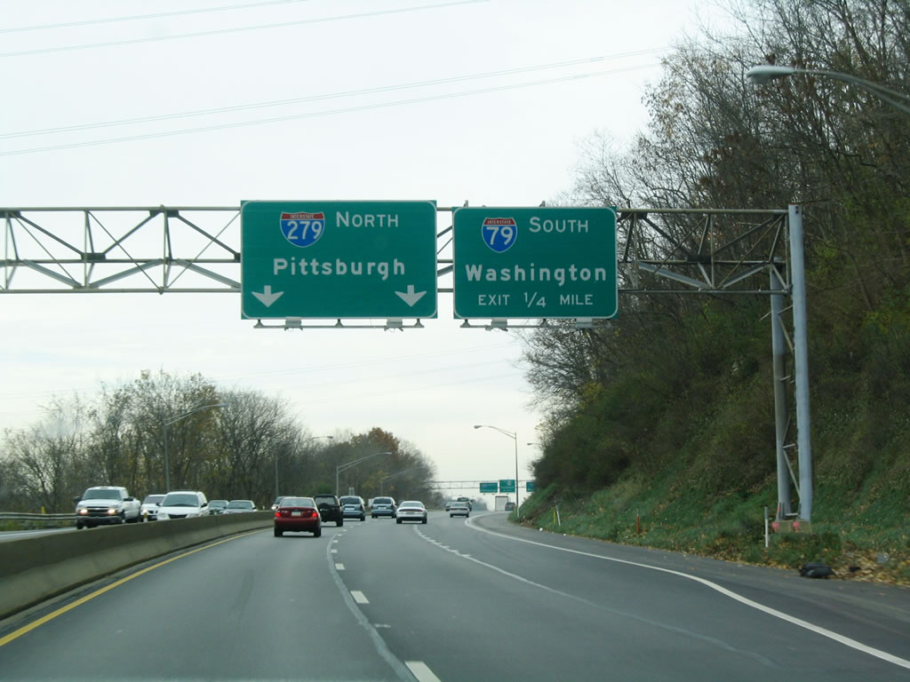
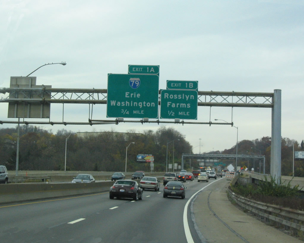
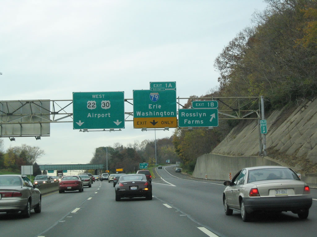
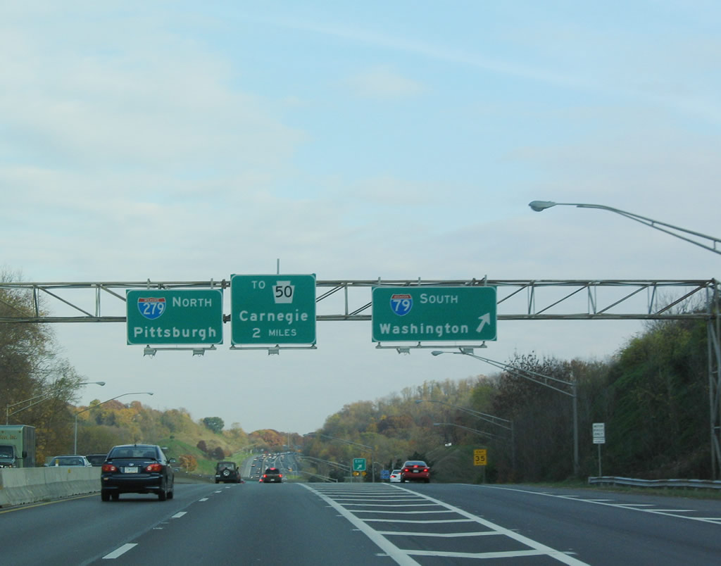
This scene looking one quarter mile ahead of the then unnumbered ramp for I-79 south to Washington changed during 2007-08 construction to both widen Penn Lincoln Parkway West and add the missing ramps between I-79 and I-279. Three eastbound lanes continue through here as part of the I-376 mainline now. 10/31/04
References
- Cridlebaugh, B. (2001, September 10) Fort Pitt Tunnel. Bridges and Tunnels of Allegheny County and Pittsburgh, PA. Retrieved from http://www.pghbridges.org/pittsburghW/0583-4476/ft_pitt_tun.htm
- "Fort Pitt Bridge ramp to Parkway East opens on Oct. 1." Pittsburgh Post-Gazette (PA), September 17, 2003.
- "Fort Pitt ramp to Parkway East to open." Pittsburgh Post-Gazette (PA), October 1, 2003.
- "Lack of money delaying construction of missing Parkway West/I-79 ramps." Pittsburgh Post-Gazette (PA), September 17, 2003.
- "'Missing Links' Take Shape at I-79/Parkway West - After 30 Years, PennDOT Poised to Open New Ramps and Widen the Parkway to Mitigate Rush Hour Traffic." Pittsburgh Post-Gazette (PA), August 2, 2008.