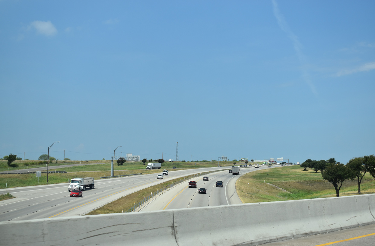
Interstate 30
Overview
Interstate 30 joins the Dallas/Fort Worth metropolitan area with Texarkana and Little Rock, Arkansas. The freeway originates in western reaches of Fort Worth, splitting with IH 20 at a wye interchange. Heading east across the city, IH 30 passes by White Settlement and Westover Hills to Downtown, where it connects with SH 121 (Chisholm Trail Parkway), U.S. 377, IH 35W and U.S. 287. Departing the central business district, IH 30 transitions onto the Tom Landry Highway, the former Dallas-Fort Worth Turnpike to Arlington, Grand Prairie and west Dallas. IH 30 through Fort Worth was completed in 1964 (Hightower, W.K, 2002).
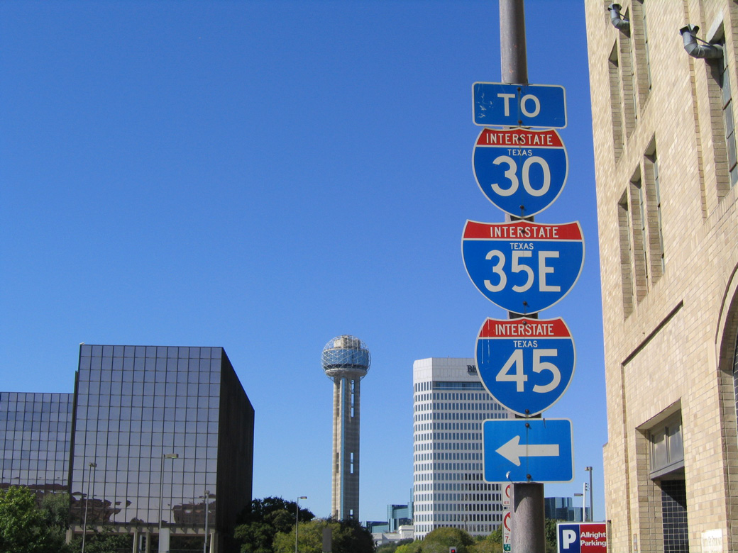
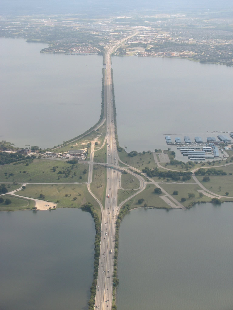
The original Dallas-Fort Worth Turnpike concluded at IH 35E within the Mixmaster Interchange outside Downtown Dallas. IH 30 constitutes a heavily traveled freeway along the south side of the central business district between IH 35E (Stemmons Freeway) and IH 45 / U.S. 75 (Central Expressway). East from there by the Cotton Bowl, IH 30 continues to Mesquite, where begins a gradual northern turn at the separation with U.S. 80. The freeway crosses Lake Ray Hubbard between Garland and Rockwall through the east Dallas County suburbs, entering Hunt County at Royse City.
Beyond Dallas, IH 30 overlays U.S. 67 northeast to Greenville, where the route turns east toward Sulphur Springs and Mount Pleasant along a rural course. Another northern shift follows, taking IH 30 across White Oak Creek Wildlife Management Area to U.S. 82 and New Boston. Running along the northern periphery of the Red River Army Depot, IH 30 parallels U.S. 82 east into Nash and Texarkana.
Once in Arkansas, Interstate 30 remains a busy trucking corridor as it turns northeast to Hope, Prescott and Arkadelphia through increasingly hilly terrain. Further east, the freeway reaches Benton and the far outer suburbs of Little Rock. I-30 expands northeast ahead of I-430, I-530 and I-440 within the capital city. Combining with U.S. 65 and U.S. 167 at the end of I-530, I-30 heads north toward Downtown Little Rock, North Little Rock and Interstate 40.
Arkansas Freeway Names
John Price adds some additional background about the Interstate System in Arkansas:
- Interstate 30's original name in Downtown Little Rock was "The Little Rock Expressway" from the Arkansas River to University Avenue.
- Interstate 630's original name before being named for "Sen. Wilbur Mills" was "The 8th Street Expressway."
- Interstate 430 was informally called that "West Belt Freeway" and sometimes "Rockefeller Highway" before it was named in 2004 as the "Purple Heart Highway."
- Interstate 440 in Little Rock is often referred on maps as the "East Belt Freeway."
- Interstate 40 in Arkansas was named the "Veterans Memorial Highway."
- U.S. 67/167 in central Arkansas is often called "The Jacksonville Freeway" because this road originally ended in Jacksonville at the Air Base Exit for Little Rock Air Force Base. This freeway continues today to Newport.
- In Western Arkansas, I-540 between I-40 and Bentonville is named the "John Paul Hammerschmidt Freeway" in honor of northwest Arkansas's former U.S. Representative.
Mileage by State
| Texas | 224.30 mi |
| Arkansas | 143.81 mi |
Data Sources
TxDOT Statewide Planning Map. https://www.dot.state.tx.us/apps/statewide_mapping/StatewidePlanningMap.html
ArDOT All Roads Linear Referencing System (ARNOLD). https://gis.ardot.gov/portal/apps/experiencebuilder/experience/?id=fd605a71a499436db1d07e8cbb34d2e1
High Priority Corridor
Interstate 30 is part of High Priority Corridor 55: Dallas to Memphis via Little Rock between Dallas and Little Rock.
History
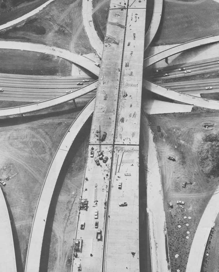
Within Texas, IH 30 was an original Interstate Highway, and it was approved by the Texas State Highway Commission in 1962 with 240 miles (Beaumont et al., 2006, p. 29). The 32 mile long Dallas-Fort Turnpike was added to Interstate 30 in 1978.
Dallas-Fort Worth Turnpike
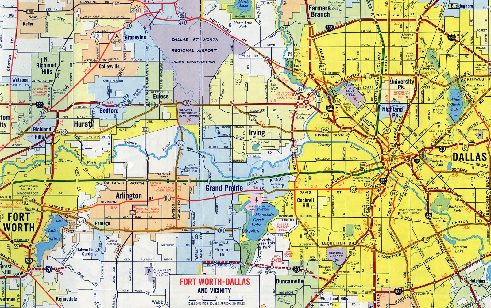
The origins of the Dallas-Fort Worth Turnpike can be traced back to 1953 when the Texas Toll Authority was formed. This organization was given the responsibility to oversee toll road construction conducted by private parties. In 1954, construction began on what was the first tolled facility in the Lone Star State. The limited access highway opened to traffic in 1957 at a cost of $59 million (HNTB-Dallas, 2002).
The turnpike did not come without compromise however. To sell the idea to the city of Arlington, an east-west connection to Grand Prairie was required. This was accomplished by constructing SH 303, the Pioneer Parkway, which was completed in 1960.1
Also tangled in the politics of the turnpike was the 1950s routing of IH 20 in south Arlington. Support garnered from the city of Arlington aided in directing the planned alignment of the route through southern reaches of the municipality, which was then rural at the time. Completed several decades later, IH 20 accelerated growth and economic prosperity of the city (Labinski, 2002).
Turnpike bonds were paid off 17 years ahead of schedule. As a result, the toll road was turned over to the state (Texas Turnpike Authority Division, 2002). Tolls were then dropped along the highway in 1978 (Reason Public Policy Institute, 2000). IH 30 was previously the only Interstate highway in Texas to have ever been tolled. This changed with approval of IH 169 along the SH 550 toll road at Brownsville in 2015.
Texarkana
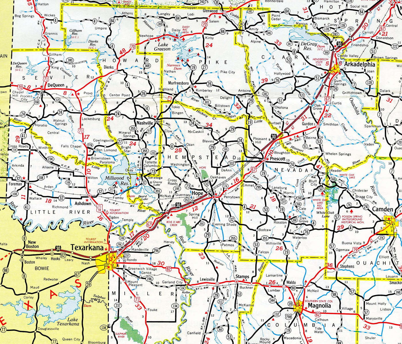
Through Texarkana, Interstate 30 was upgraded during construction for both I-49 and IH 369. Improvements along the freeway included building a new welcome center / rest area built near the Mandeville interchange (Exit 7), replacing the former facility located between Exit 1 / Jefferson Avenue and Exit 2 / Arkansas Highway 245. This was completed in 2004.
The interchanges with Jefferson Avenue and Four States Parkway (former Highway 245) were improved after 2004 with wider overpasses built for both roadways across I-30. That work preceded construction modifying the cloverleaf at State Line Avenue (U.S. 59/71) into a split diamond interchange and relocating Summerhill Road (SH 93 south / FM 1397 north) and Jefferson Avenue (Texarkana Gazette, 2003).
Little Rock
Interstate 30 between Sevier Street in Benton and University Avenue in Little Rock replaced a two lane alignment built for U.S. 67/70 in the mid 1950s. Known as New Benton Highway, the route utilized what is now southbound University Avenue and the westbound roadway of I-30. Two lanes were added to New Benton Highway before the upgrade to I-30 by 1961. The former alignment of U.S. 67/70 was later designated as Highway 5, which separates from I-30 north from Exit 118 (J. Price, personal communication).
University Avenue (U.S. 70B) extends north from Interstate 30 at Exit 132 in Little Rock. This route was originally a part of Business Loop I-30. The University name was first applied to the section north of Asher Avenue, which was originally named Hayes Street after the 19th President, in 1957. University Avenue displaced New Benton Highway on the arterial between Interstate 30 and Asher Avenue in the 1970's. New Benton Highway remained along the I-30 frontage road system until the mid-1980's, when the city of Little Rock renamed the roadway as I-30 (J. Price, personal communication).
Interstate 30 from Sevier Street (Exit 116) in Benton east to Exit 133 (Geyer Springs Road) in Little Rock was upgraded starting in 2002. The work involved reconstructing several bridges and widening the freeway to three lanes in each direction. Construction at the exchange with Baseline Road/Mabelvale Pike built a new underpass, eliminating a two-way section of the south access road between Baseline Road and Mabelvale Pike. The wye interchange at University Avenue was modified with the addition of loop ramps in 2005. Previous work in the late 1990's extended University Avenue one mile south of I-30 (J. Price, personal communication).
Finished in March 2006, work completed the freeway expansion east from the interchange with Congo Road at milepost 120 to Geyer Springs Road. Improvements at the trumpet interchange with I-430 added a second lane from Exit 129 eastbound (J. Price, personal communication).
Interstate 30 Extension
Proposals once outlined an extension of I-30 northeast along the U.S. 67 corridor through north-central Arkansas into Missouri via Searcy, Newport, Pocahontas and Poplar Bluff. As envisioned, Interstate 30 would turn east along U.S. 60 and connect with I-57 at Sikeston. Interstate 730, a freeway spur between Swifton and Jonesboro, was advocated by the Jonesboro Regional Chamber of Commerce in anticipation that U.S. 67 would be renumbered as I-30.
If U.S. 67 is four-laned all the way to St. Louis, it likely would become part of an extended Interstate 30, which now runs from Dallas to North Little Rock. — Poplar Bluff Daily American Republic, April 23, 2004
However, language inserted in Fiscal Year 2017 Transportation, Housing and Urban Development on April 21, 2016 designated the freeway along U.S. 67 in Arkansas as Future I-57. A provision included in language also allowed interstate standard stretches of U.S. 67 to be immediately resigned as Interstate 57 (U.S. Senator John Boozman, 2016).
East End 


 ‐ Little Rock, AR
 East North at
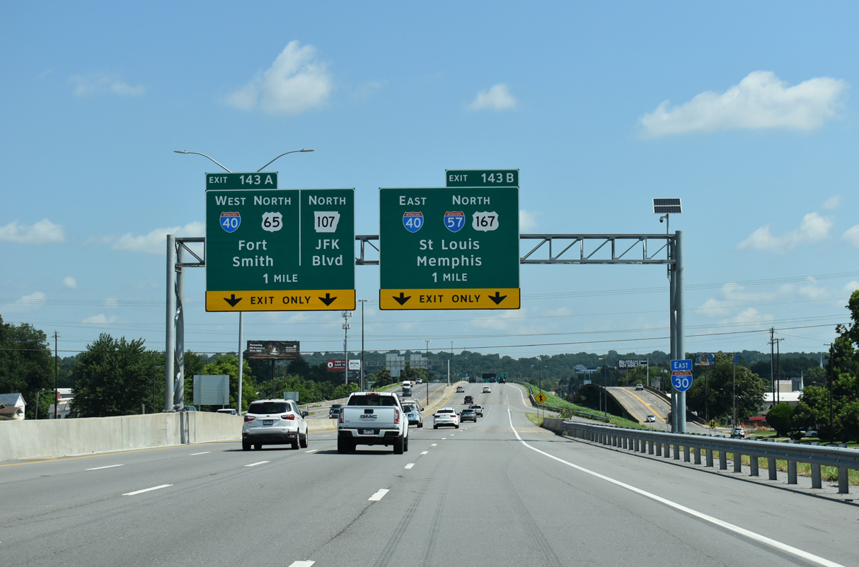
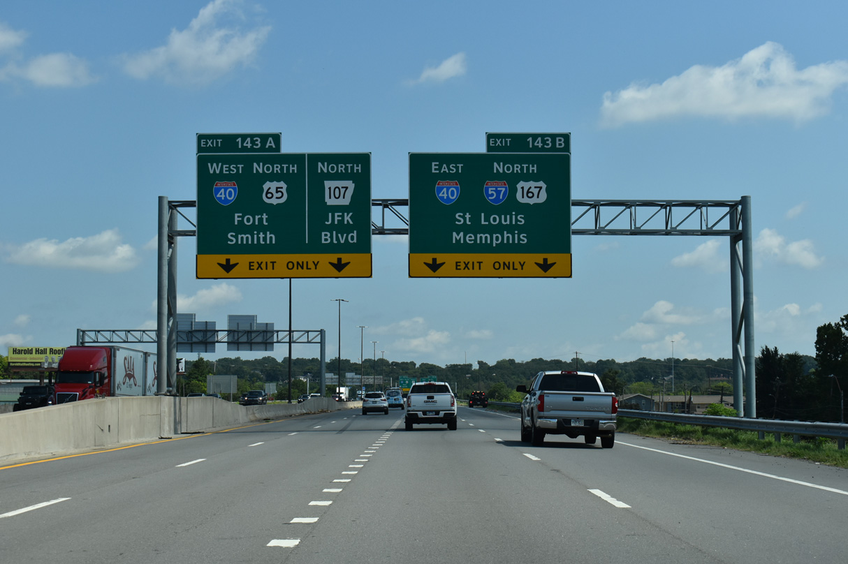
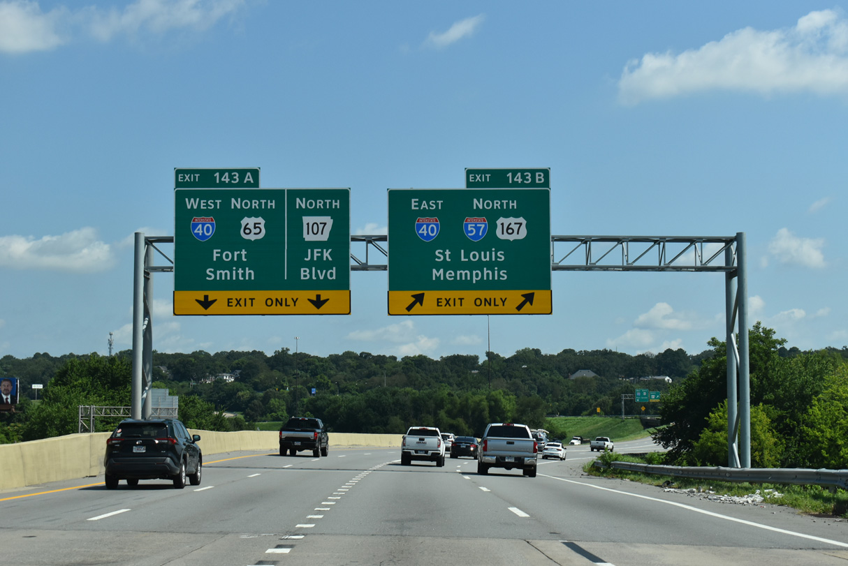
The east end of Interstate 30 connects with I-40 adjacent to the south end of Interstate 57 in North Little Rock. 07/08/26
East South at
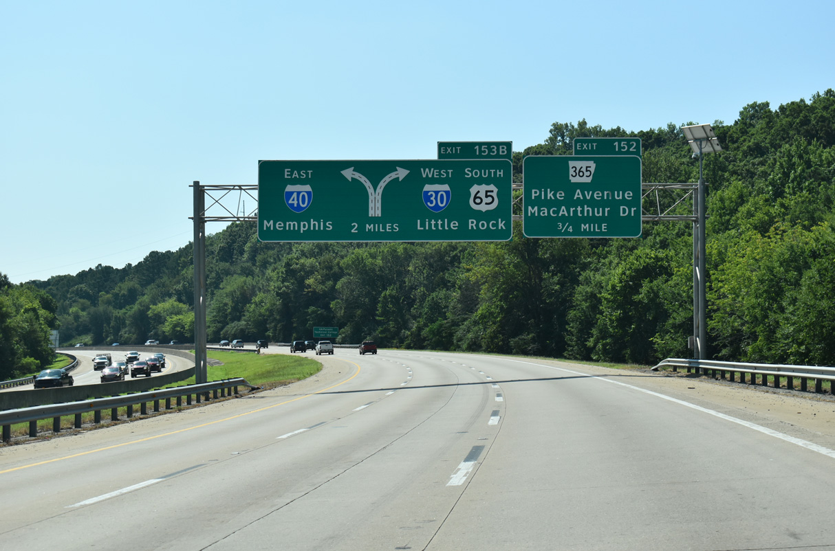
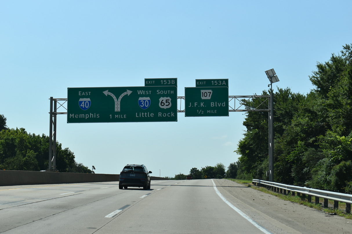
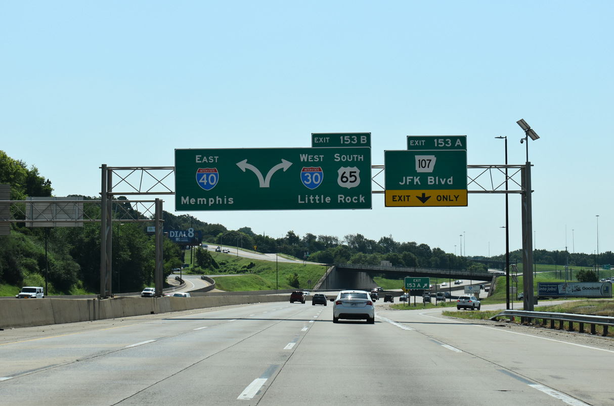
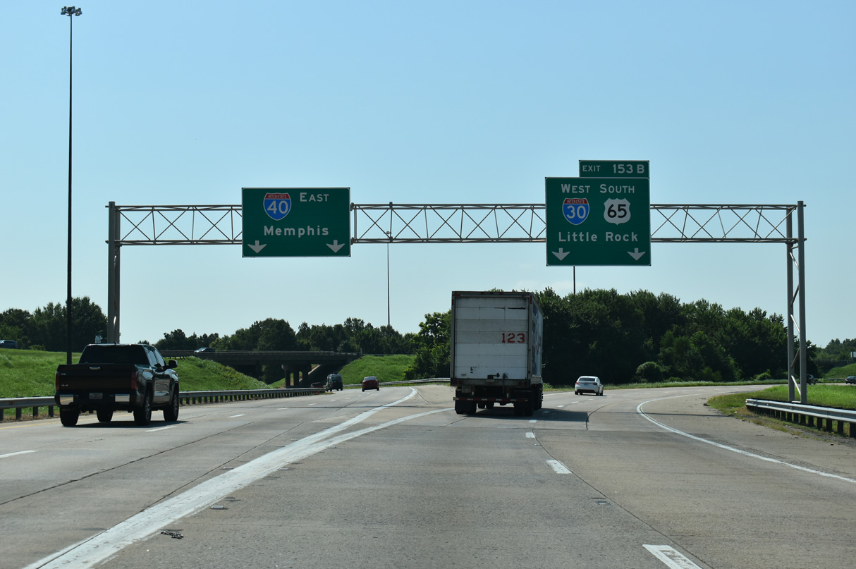
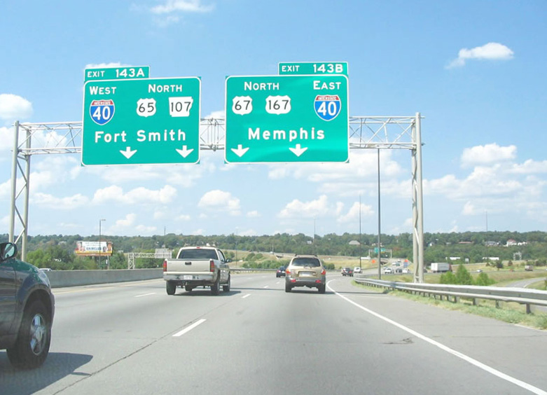
Passing north of Big Rock Mountain, Interstate 40 weaves through Burns Park two miles from the three-wye interchange (Exit 153 B) with I-30 and U.S. 67/167. 07/08/26
West South at
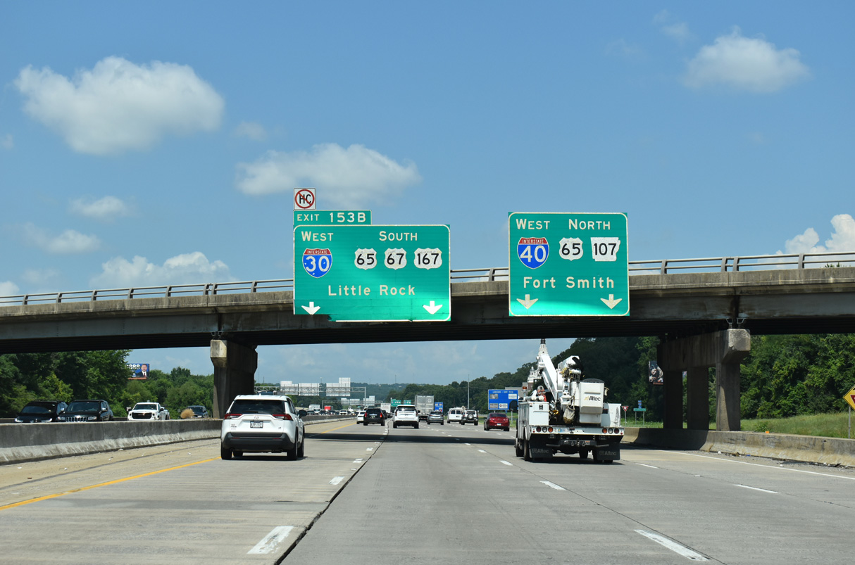
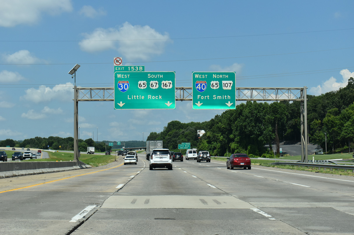
U.S. 67/167 combine with I-40 westbound ahead of the parclo interchange (Exit 154) with N Hills Boulevard. The three routes proceed west one mile to separate at Interstate 30 and U.S. 65. 07/08/26
East End – Past Views
East at
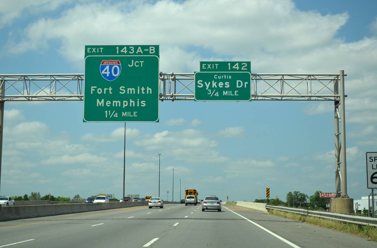
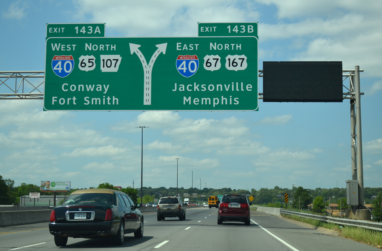
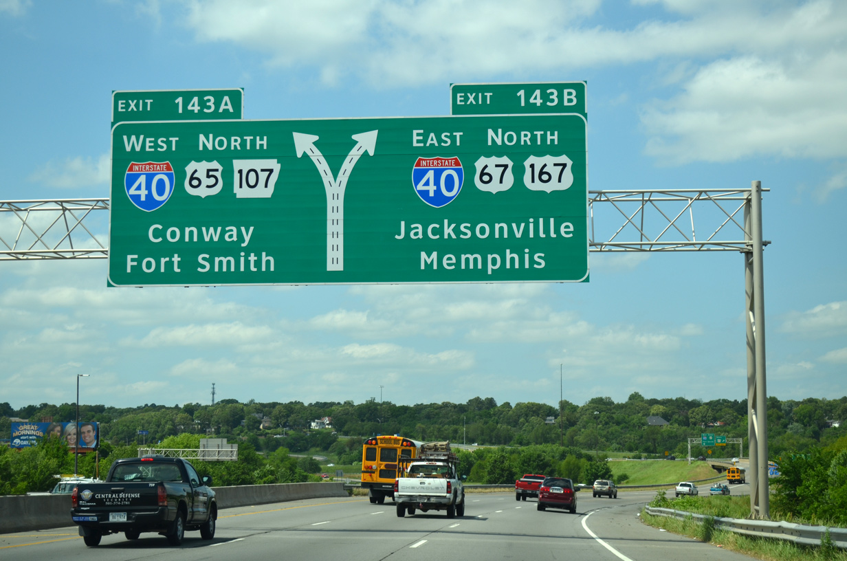
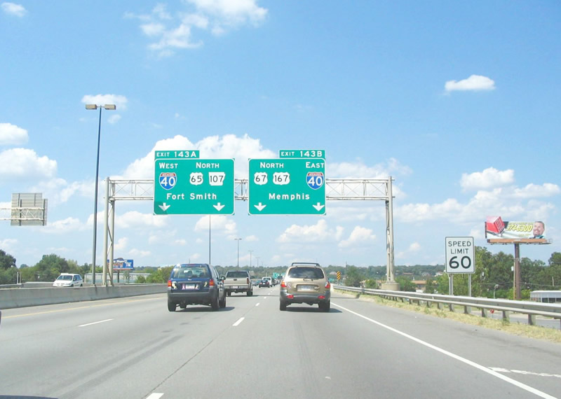
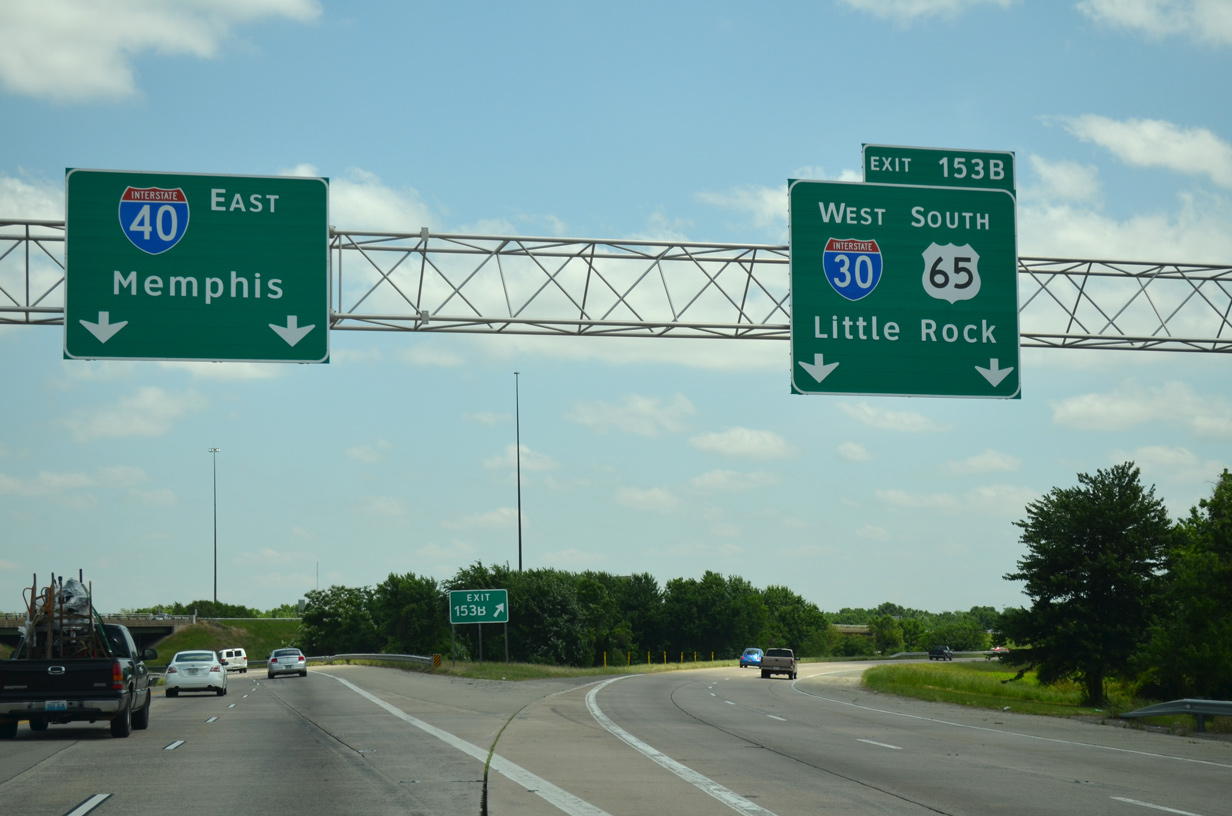
Interstate 30 eastbound crosses the Arkansas River northward into the city of North Little Rock. The freeway concluded at I-40, 1.25 miles beyond the exchange (Exit 141 B) with U.S. 70. 05/20/14
Past Views Gallery (Tap to Expand / Collapse Section)
East at
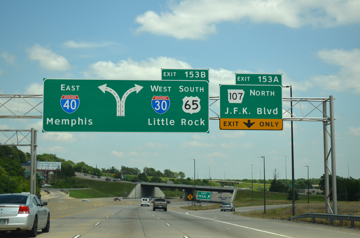
Overheads with Clearview font for AR 107 and I-30 at Exit 151 A were replaced after 2024. 05/20/14
West
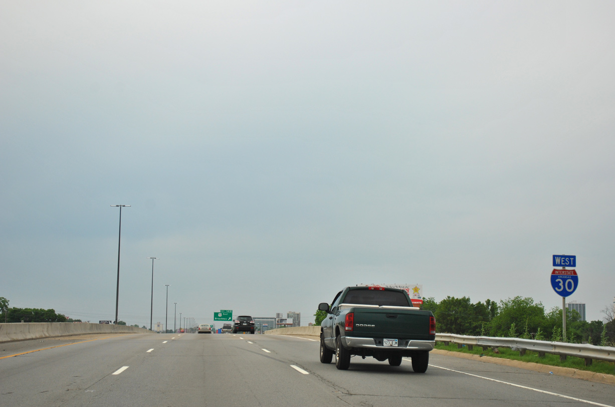
The first confirming marker for Interstate 30 previously appeared between Exit 142 (Curtis Sykes Drive) and Exit 141 B (U.S. 70). 05/07/12
West End  ‐ Fort Worth, TX
East at
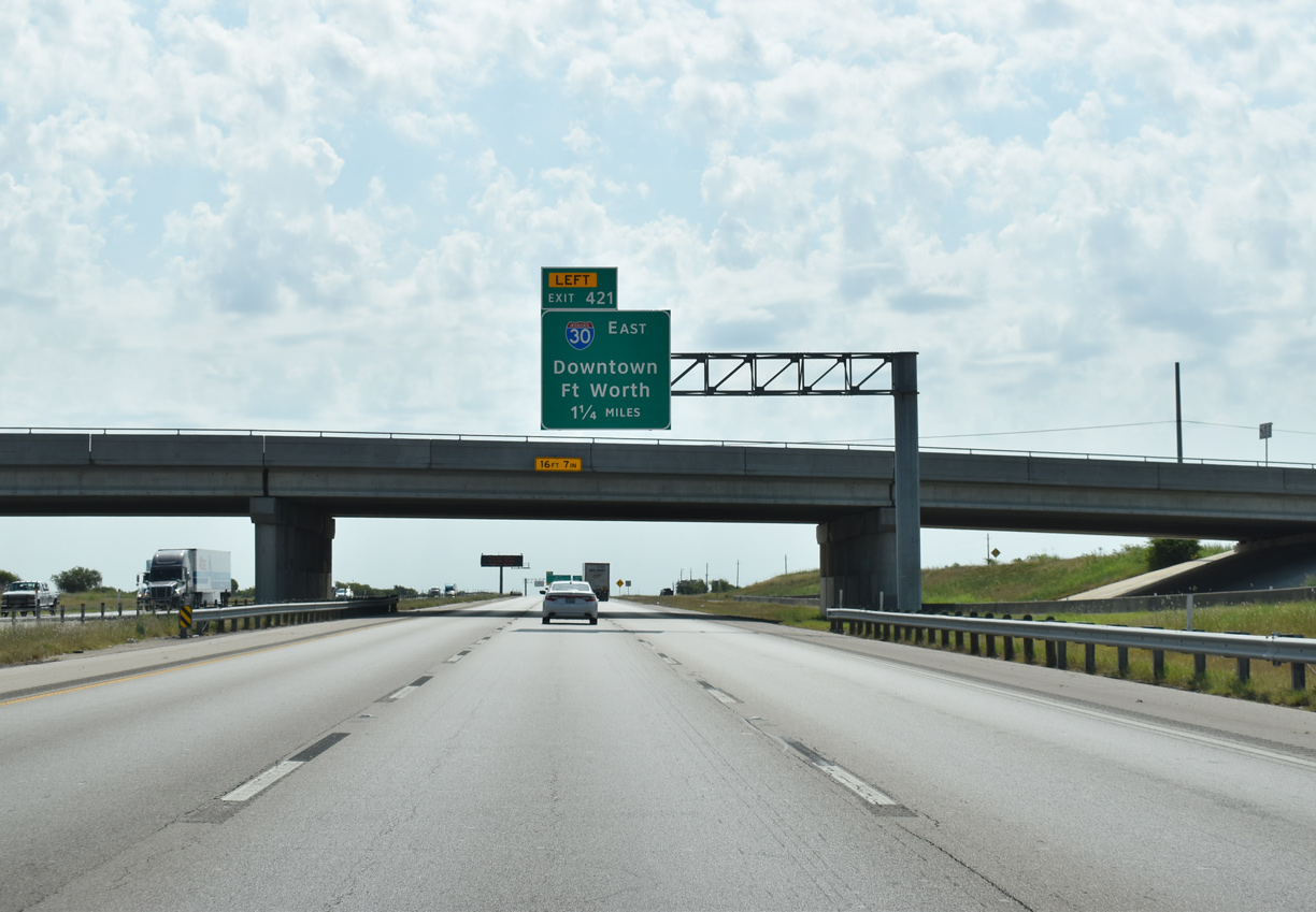
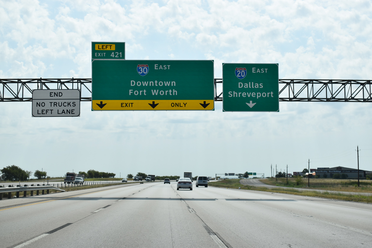
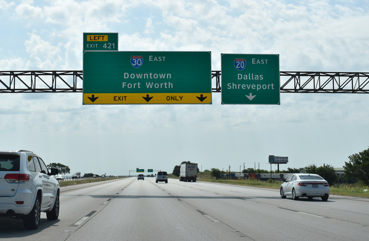
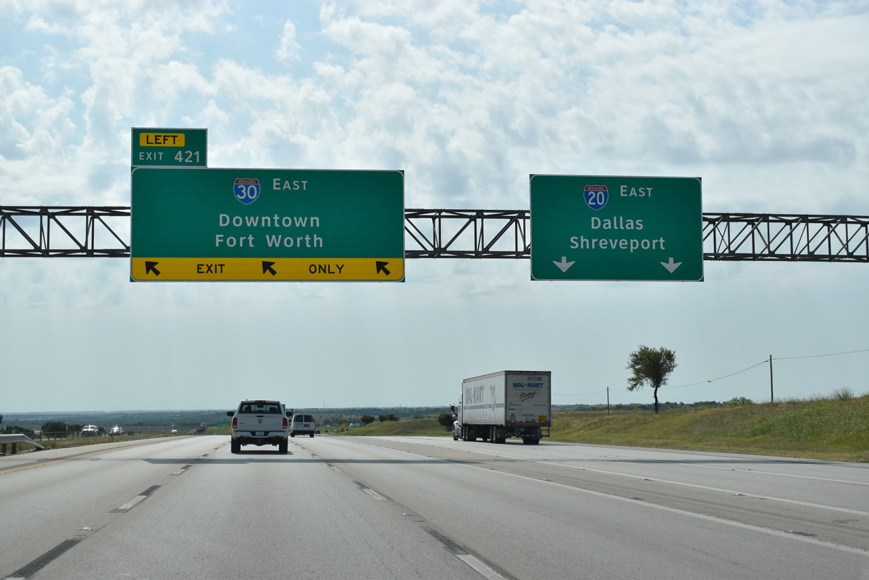
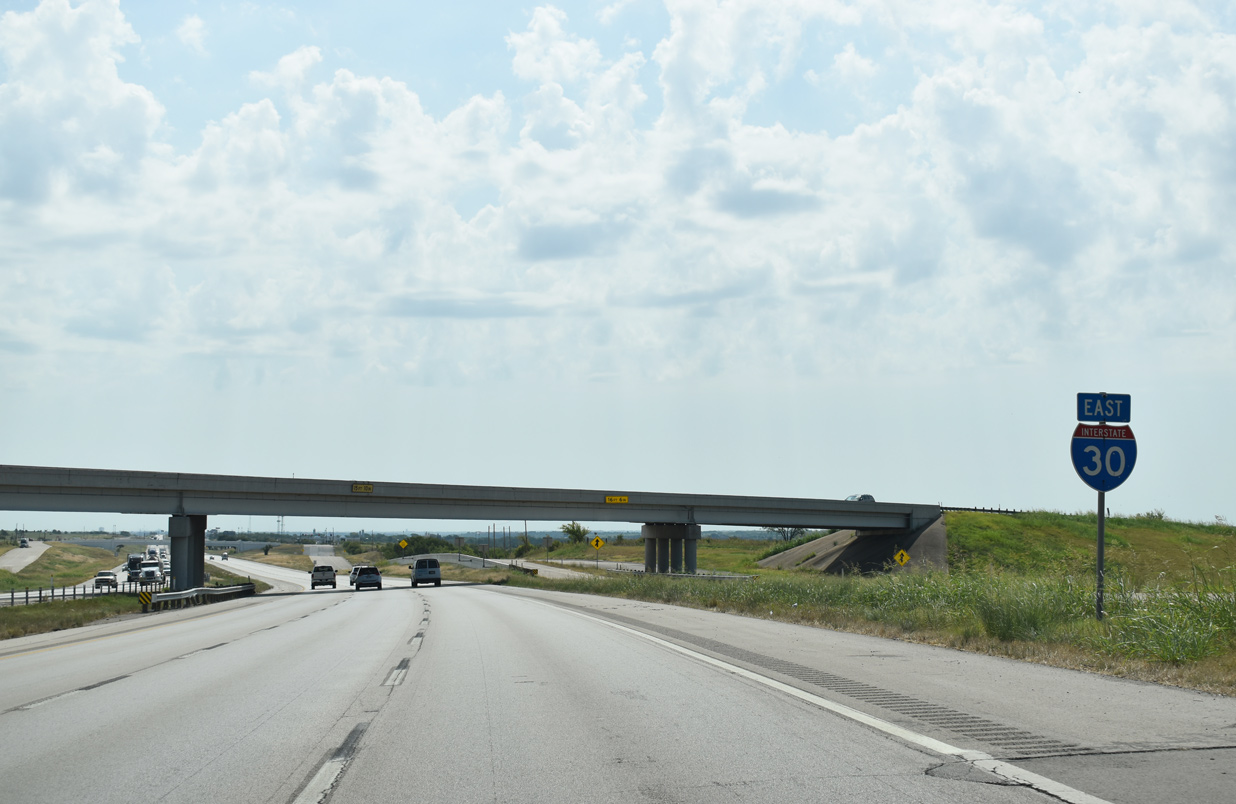
IH 20 advances east from the city of Willow Park to meet FM 3327 and FM 1187, 1.25 miles ahead of the split with IH 30. 08/06/19
West at
IH 30 concludes just across the Parker County line at IH 20 west of Walsh Ranch Parkway. Photo by Robert Lee (06/02/06).
West at
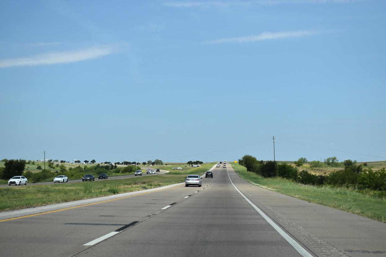
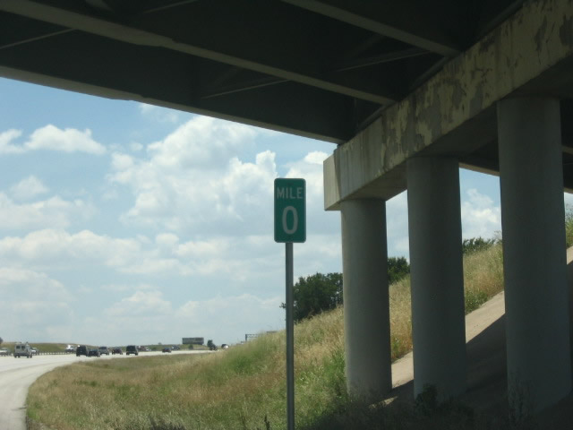
IH 20 converges with the IH 30 at a wye interchange on the rural west side of Fort Worth. There is no access to IH 30 east from this direction. 08/06/19