Interstate 440 Arkansas
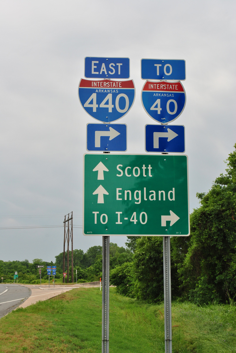
Overview
Interstate 440 follows the East Belt Freeway from I-30/530 to I-57 around Little Rock and North Little Rock. The freeway loop provides a truck route for hazardous materials and connects with the passenger terminal at Bill and Hillary Clinton National Airport (LIT). I-440 was extended north over Highway 440 from I-40/440 along the Northbelt Freeway to I-57/U.S. 67-167 in September 2025. The rural freeway traverses Ink Bayou and other wetlands into the city of Jacksonville.
The Exit number sequence along I-440 previously continued along Arkansas Highway 440, so no changes were needed following the redesignation. Long range plans extend the Northbelt Freeway westward to the exchange joining Interstate 40 with I-430 at Crystal Hill. The design previously outlined constructing a four lane, divided highway (AHTD, 2003). However, the Final Environmental Impact Statement (FEIS) for the North Belt Freeway approved on June 30, 2008 references a limited access (Interstate type) facility, with two 12 foot travel lanes in each direction (ArDOT, 2025a).
Mileage by State
| Arkansas | 14.33 mi |
Data Sources
December 31, 2025 Interstate Route Log and Finders List
History
The Northbelt Freeway was completed by February 2003. It remained signed as a state highway until 2025, because prior to that time the freeway did not connect with an Interstate highway at each end (M, Hollis, personal communication). This changed once I-57 was fully signed along the freeway, leading U.S. 67/167 northeast from North Little Rock and Jacksonville to Walnut Ridge. The minute order adopted by the Arkansas Highway Commission resolution on August 7, 2024 formally requested to redesignate Arkansas Highway 440 north 4.2 miles from I-40 to I-57/U.S. 67-167 as an extension of Interstate 440. An application for the renumbering was submitted to the American Association of State Highway and Transportation Officials (AASHTO) on September 20, 2024. This was approved with concurrence from the Federal Highway Administration (FHWA) (ArDOT, 2025b).
East End 

 ‐ Jacksonville, AR
 East at
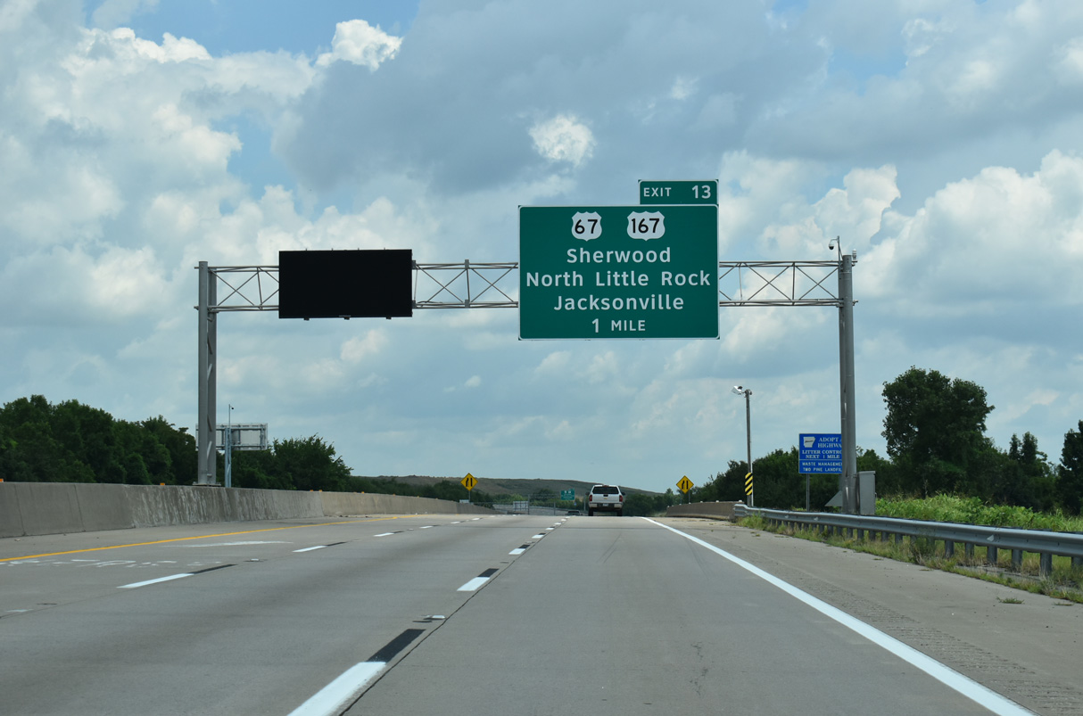
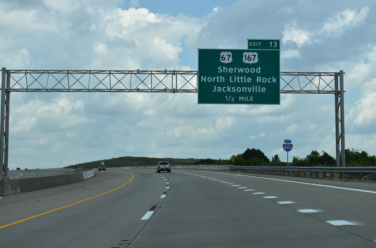
Interstate 440 eastbound enters the city of Jacksonville within the exchange at AR 161 (Jacksonville Highway), one mile ahead of I-57/U.S. 67-167. 07/08/26
North at
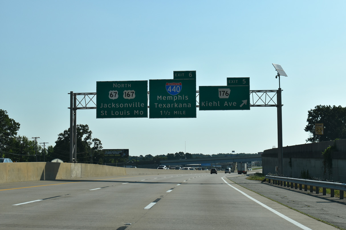
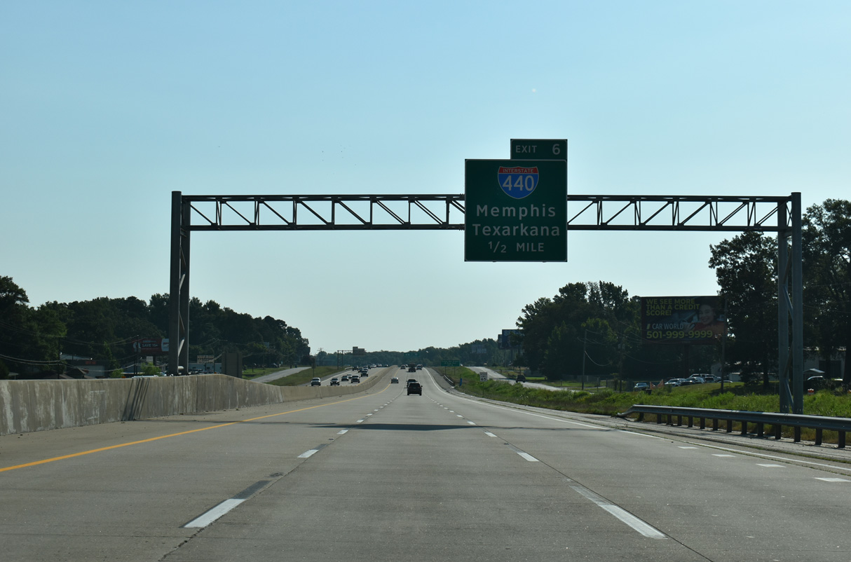
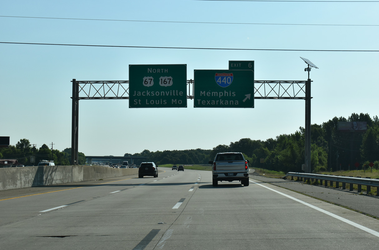
Exit 5 leaves I-57/U.S. 67-167 North in the city of Sherwood, 1.5 miles from Interstate 440 in Jacksonville. 07/08/26
South at
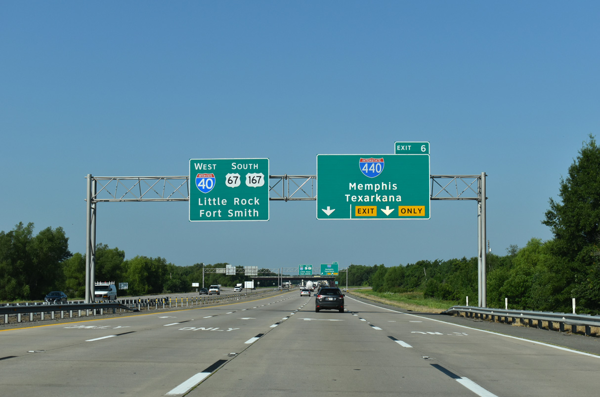
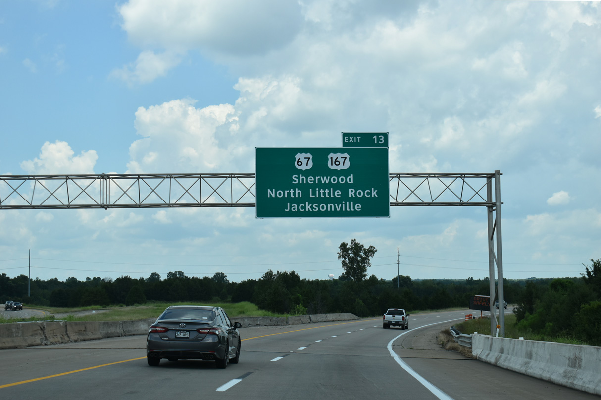
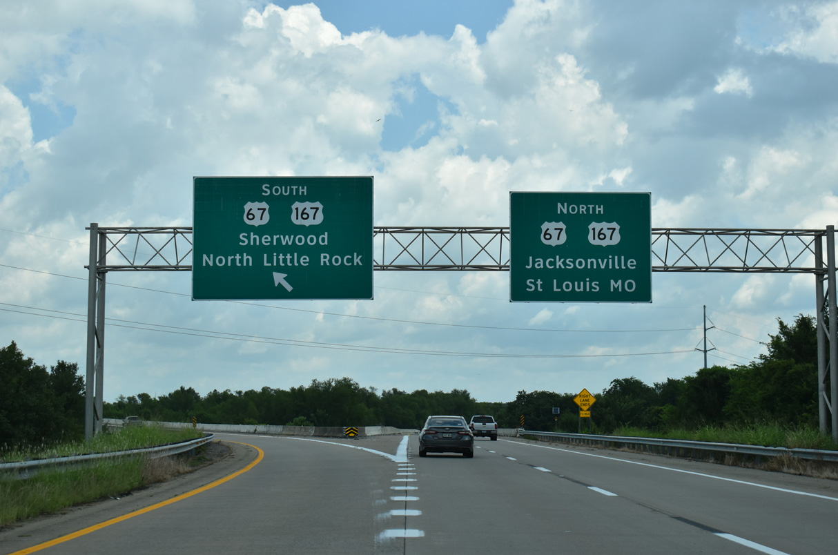
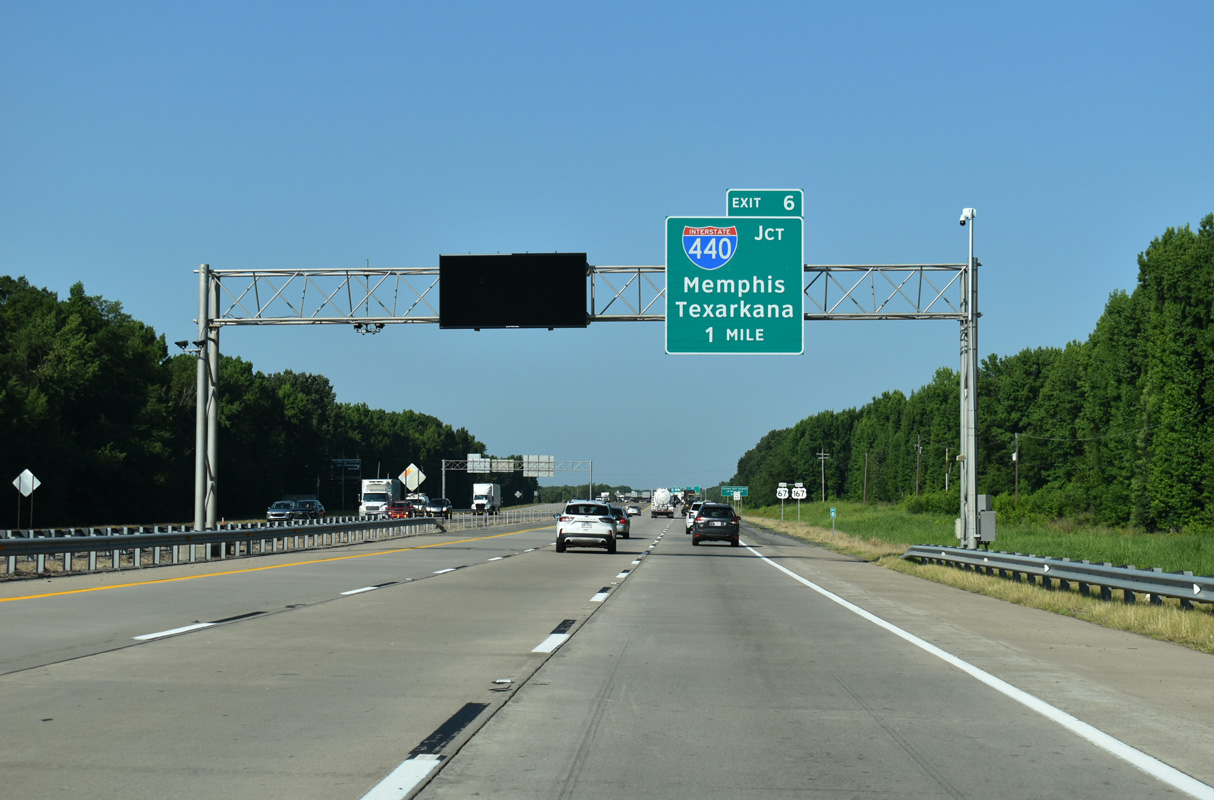
Interstate 440 branches south from I-57/U.S. 67-167 in Jacksonville to I-40 in North Little Rock and I-30/530 in Little Rock. 07/08/26
Former East End ‐ North Little Rock, AR
Past Views Gallery (Tap to Expand / Collapse Section)
East at 

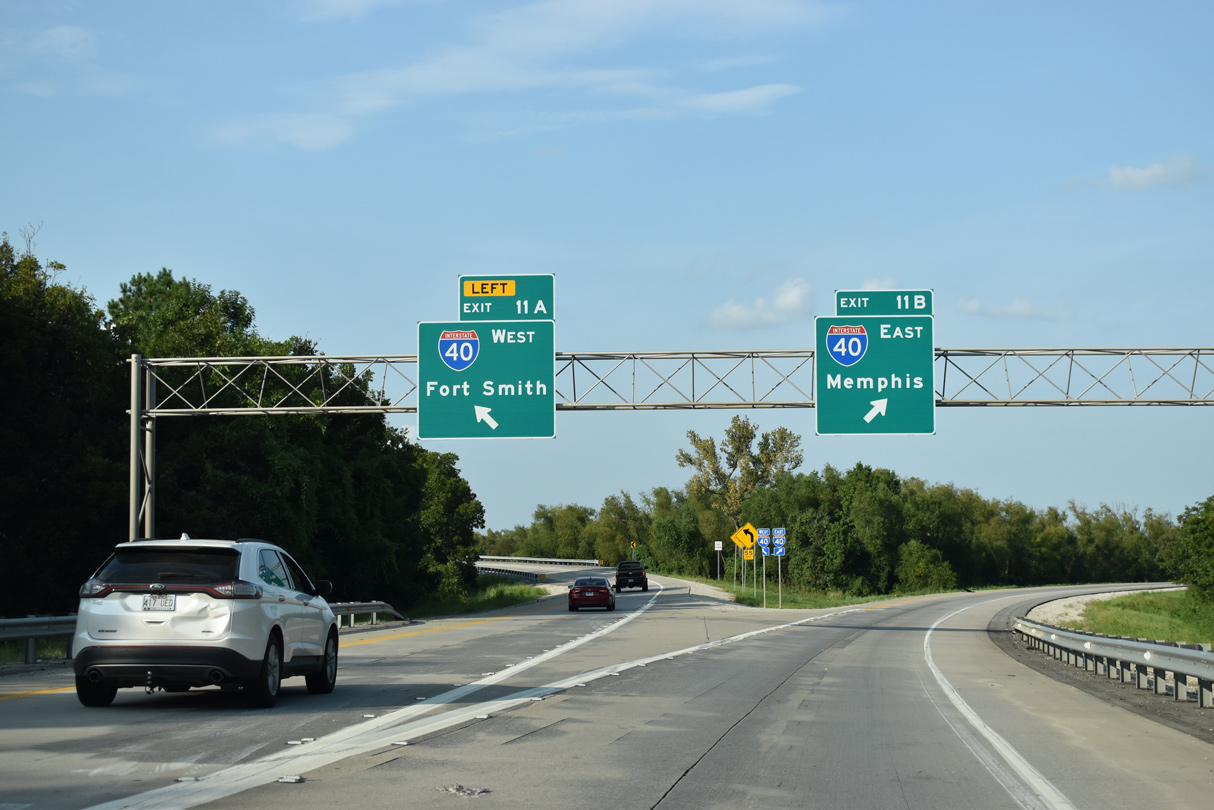
Interstate 440 proceeds north from a folded diamond interchange (Exit 10) with U.S. 70 to the exchange with I-40 and Highway 440 (Northbelt Freeway). 09/09/20
South at
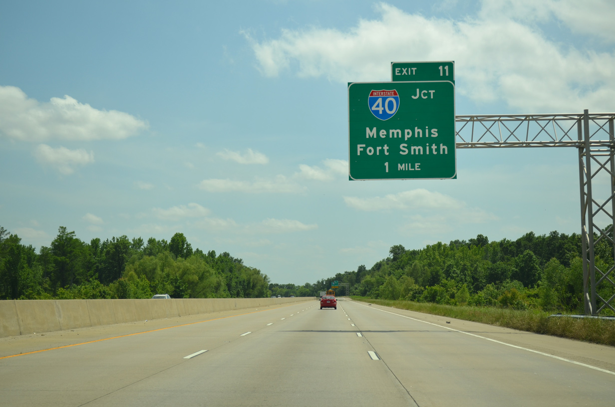
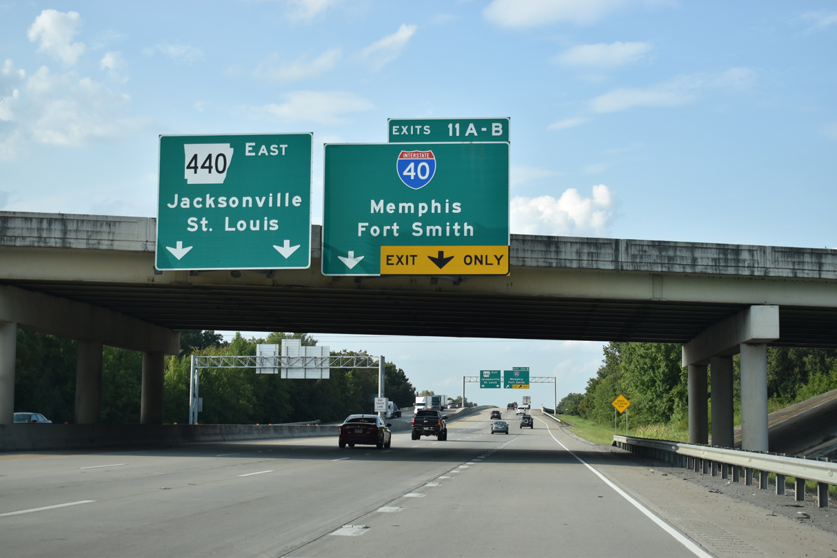
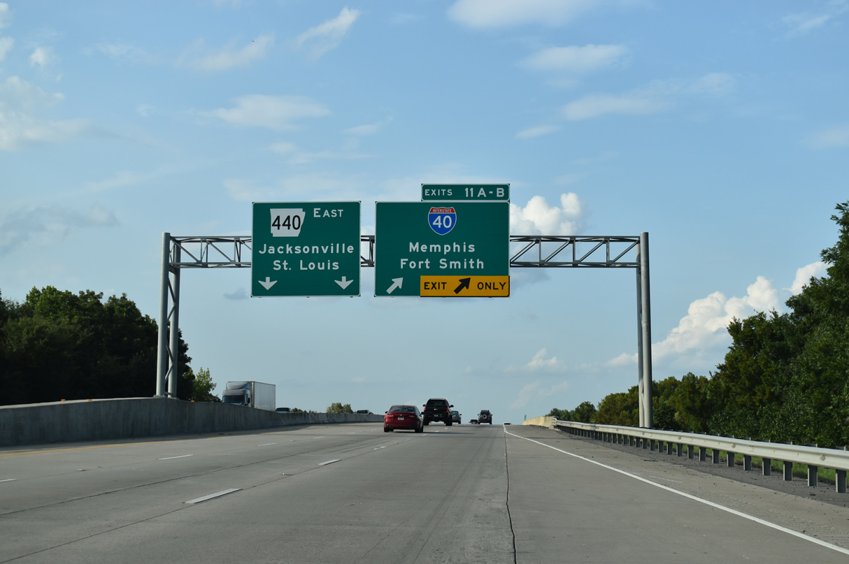
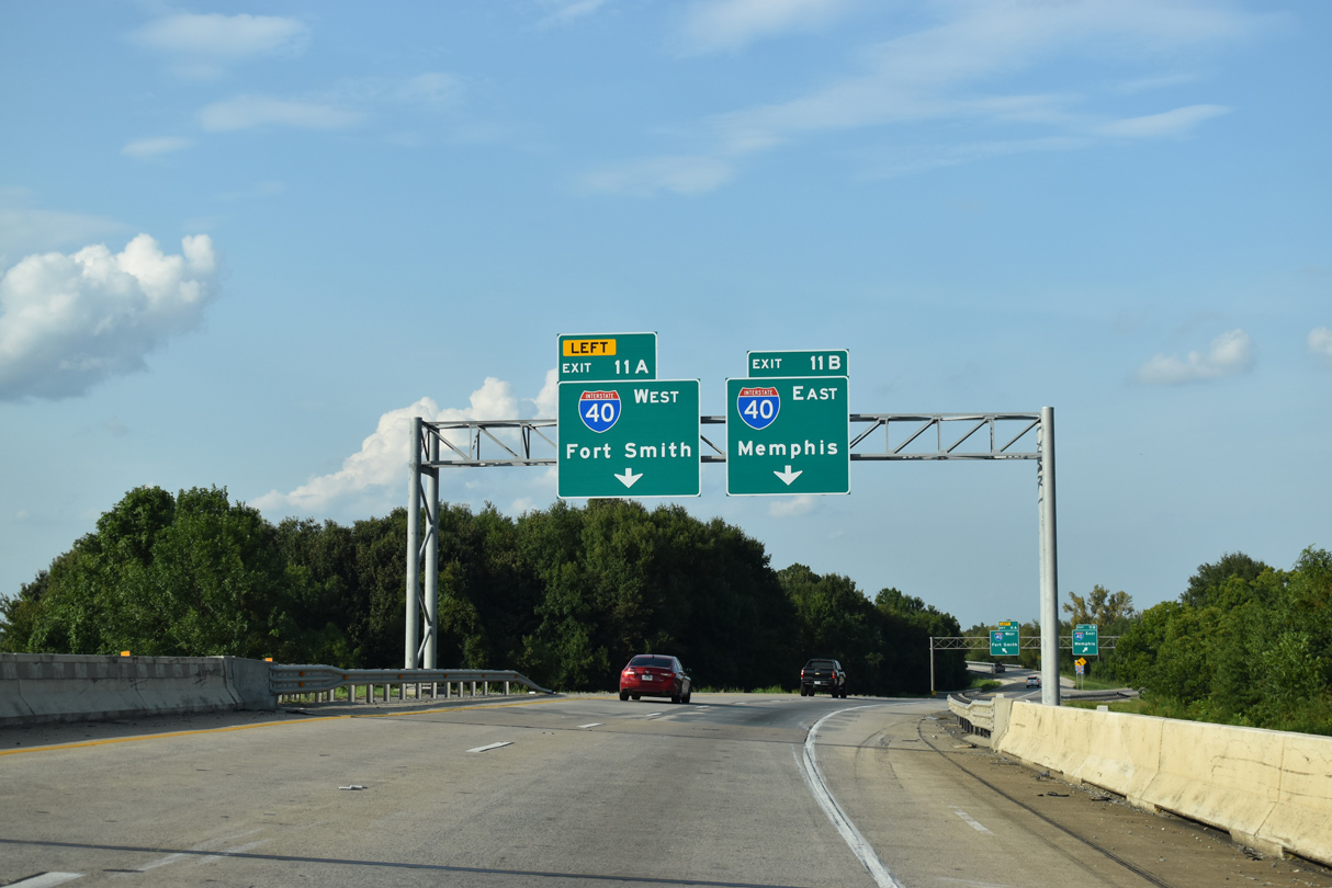
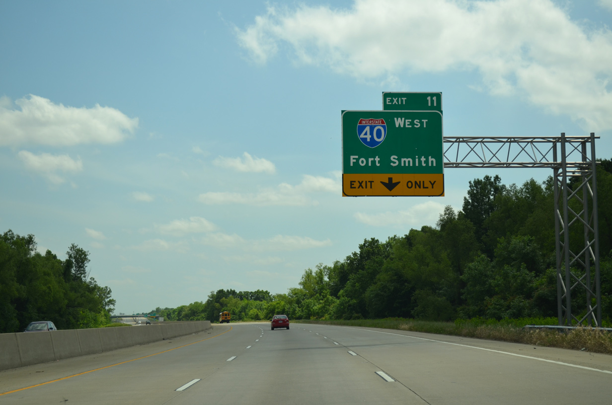
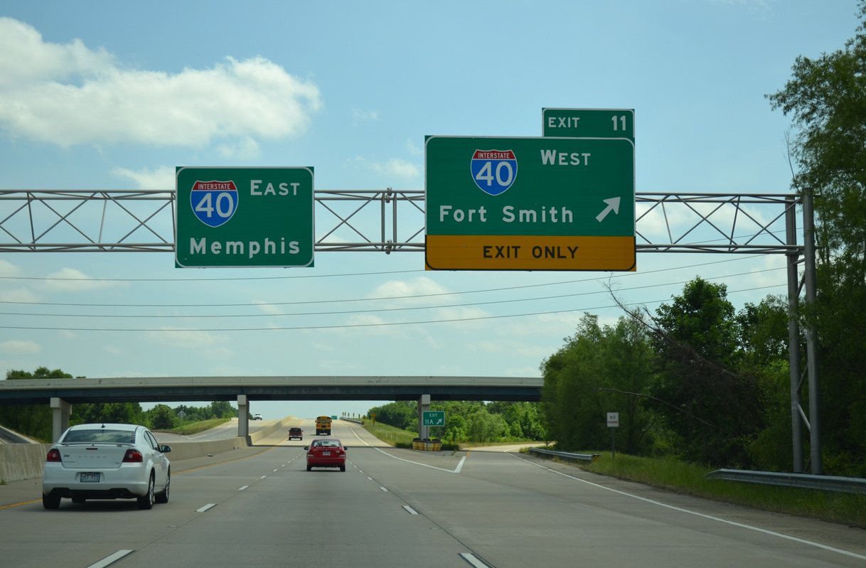
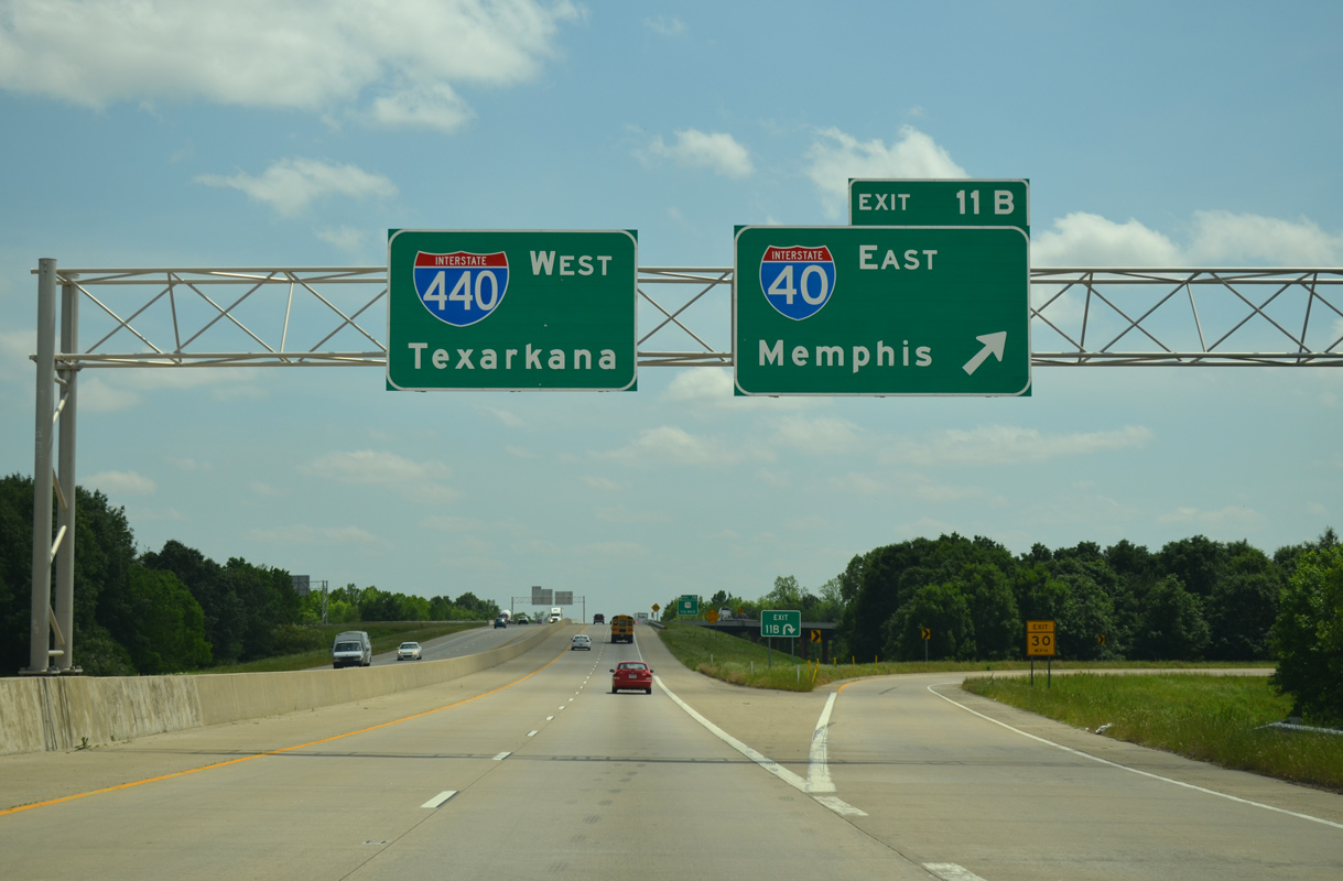
Highway 440 advances one mile south from Ink Bayou to the cloverstack interchange (Exit 11) with Interstate 40. 05/20/14
Past Views Gallery (Tap to Expand / Collapse Section)
East at
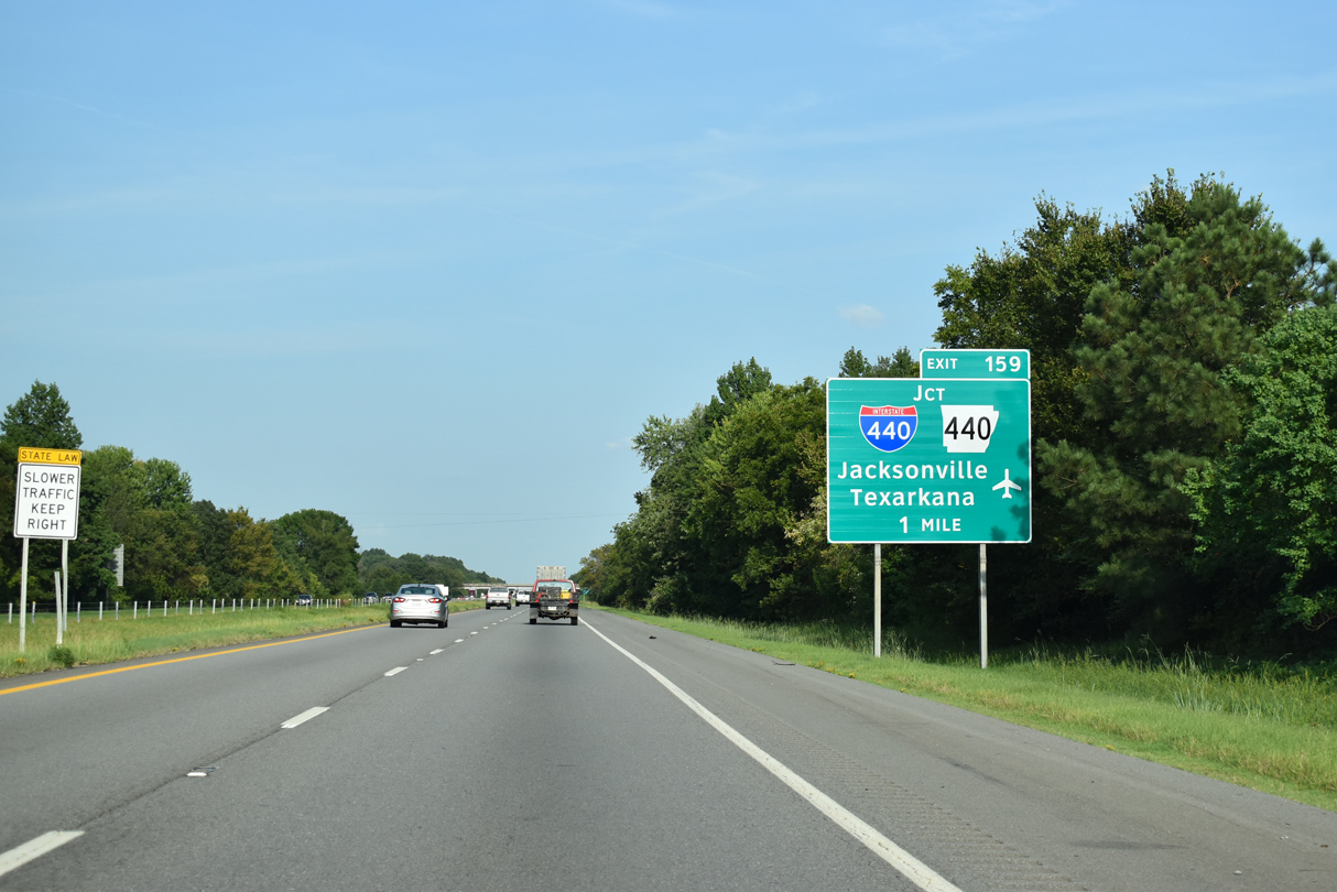
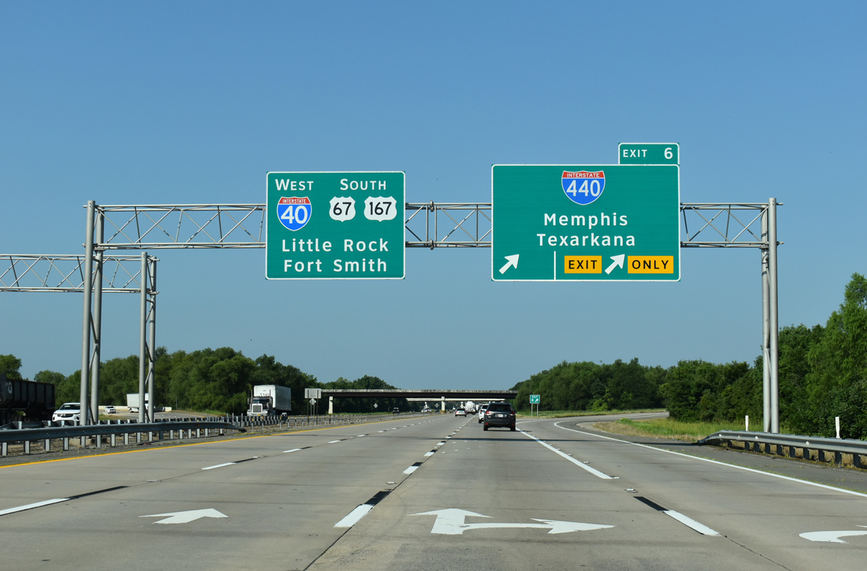
Interstate 40 crosses wetlands south of Stark Bend on the rural approach to Exit 159 with I-440 west and Highway 440 north. 09/09/20
West at
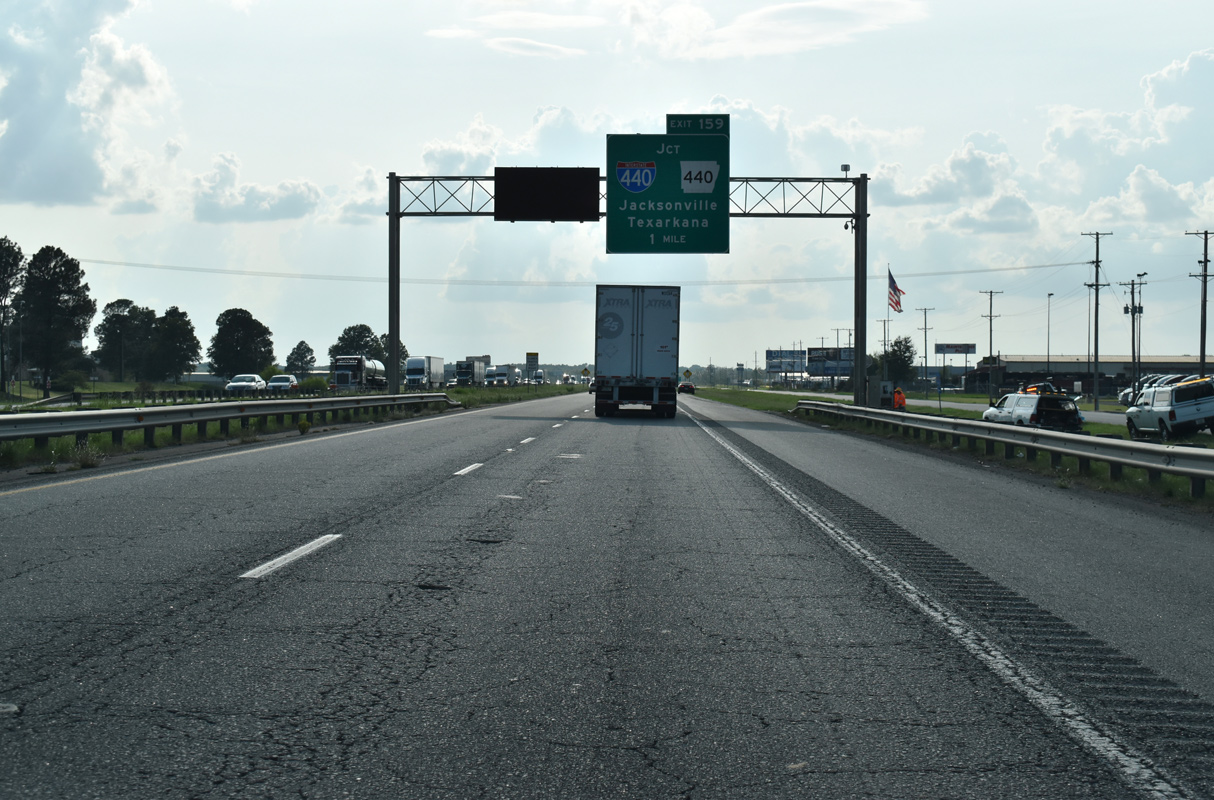
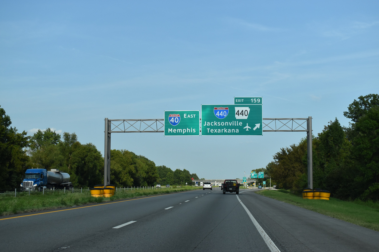
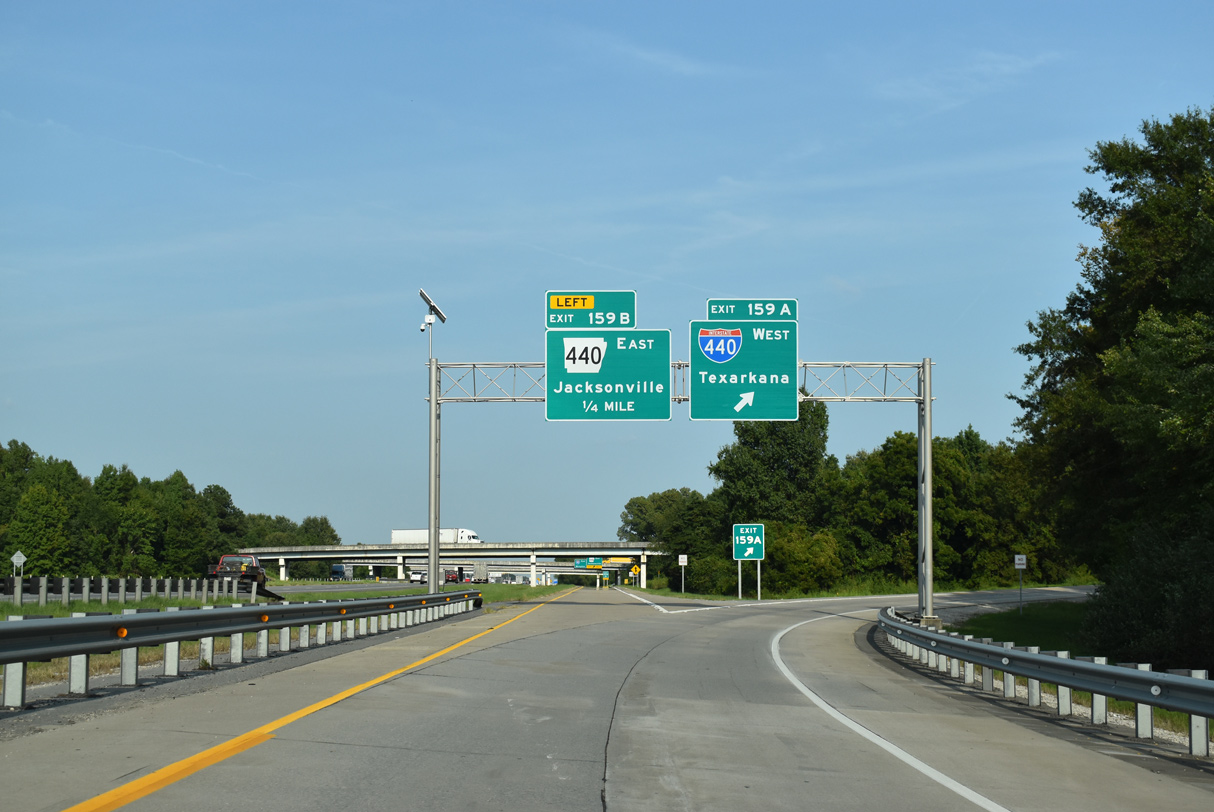
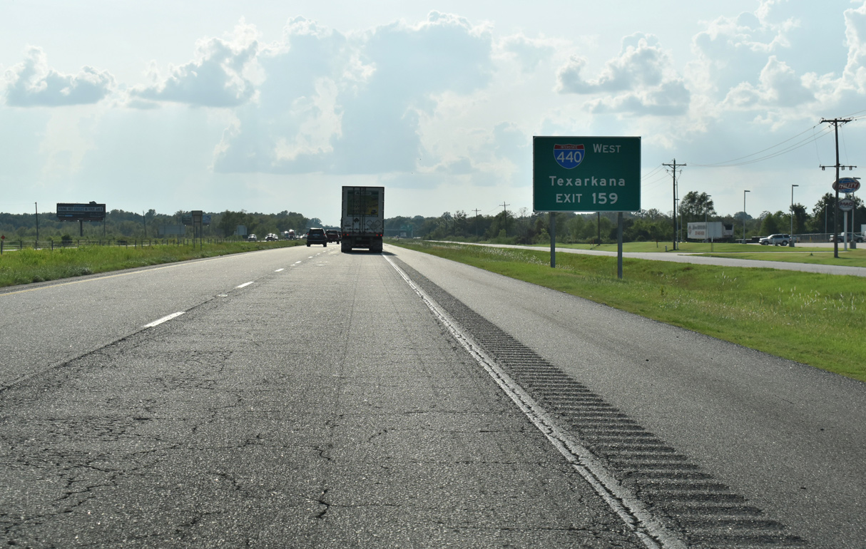
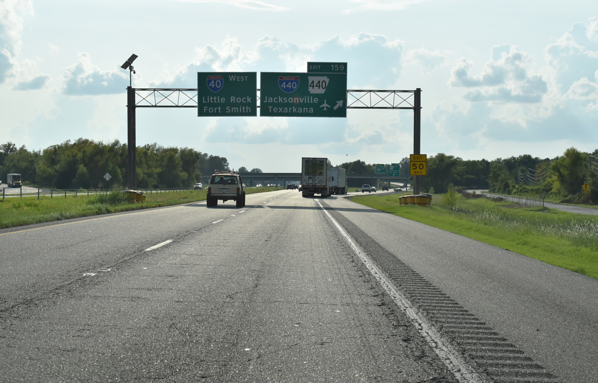
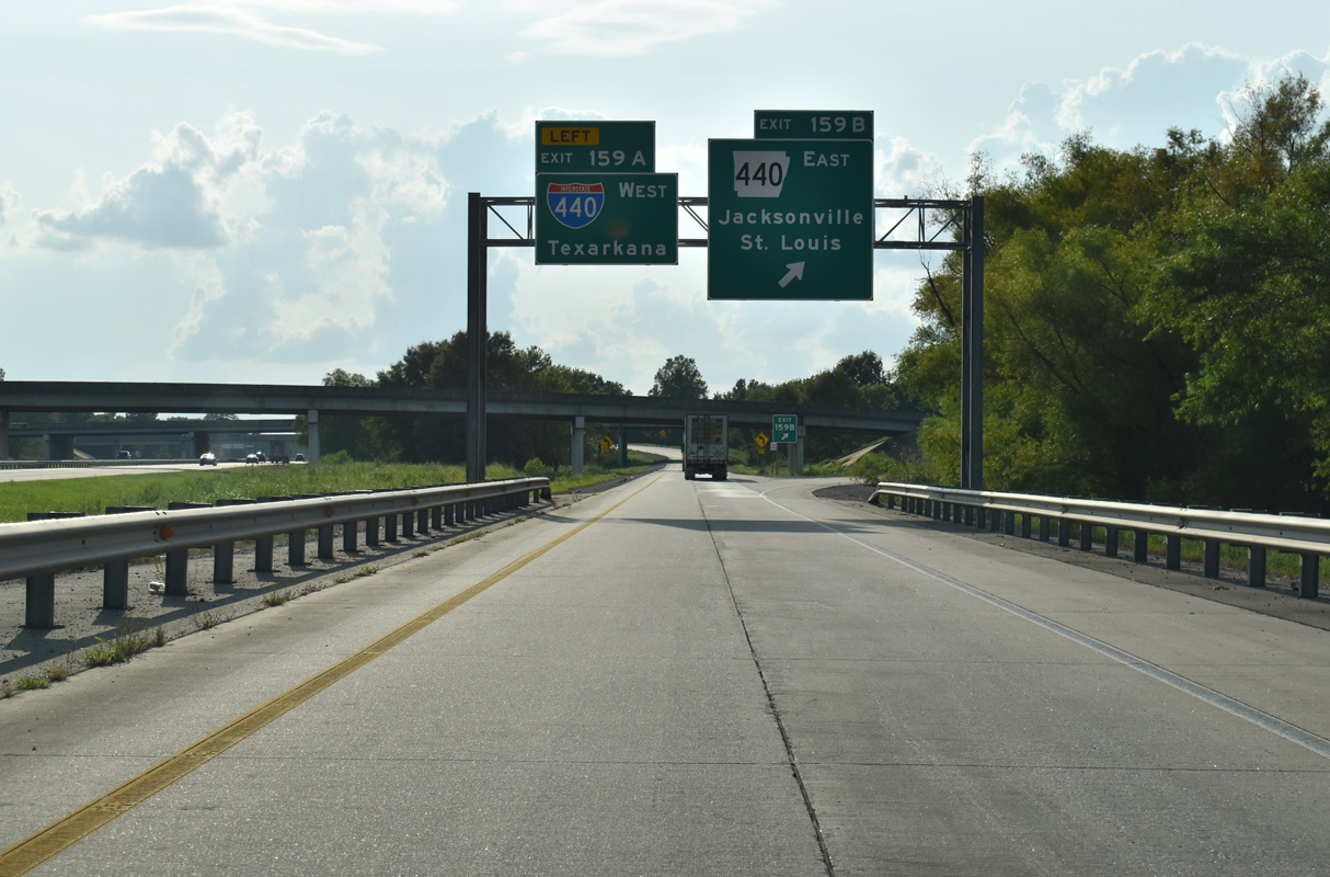
An array of truck stops and service centers line the I-40 frontage roads leading west to the cloverstack interchange (Exit 159) with Interstate 440 west and AR 440 north. 09/09/20
East End – Past Views
Past Views Gallery (Tap to Expand / Collapse Section)
at

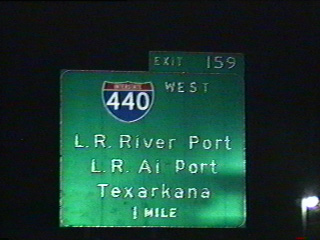
Replaced guide signs for the exchange joining I-40 with I-440 and Highway 440 in North Little Rock. Photo by Chris Patriarca (05/03/03).


West End 

 ‐ Little Rock, AR
West at 
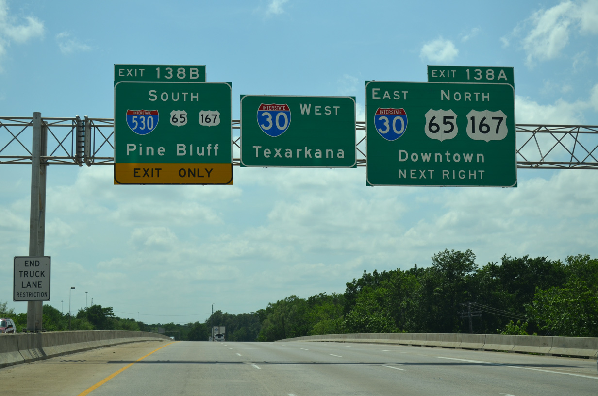
I-440 concludes 2.5 miles west of Exit 3 to Bill and Hillary Clinton National Airport (LIT). 07/08/26
East North at
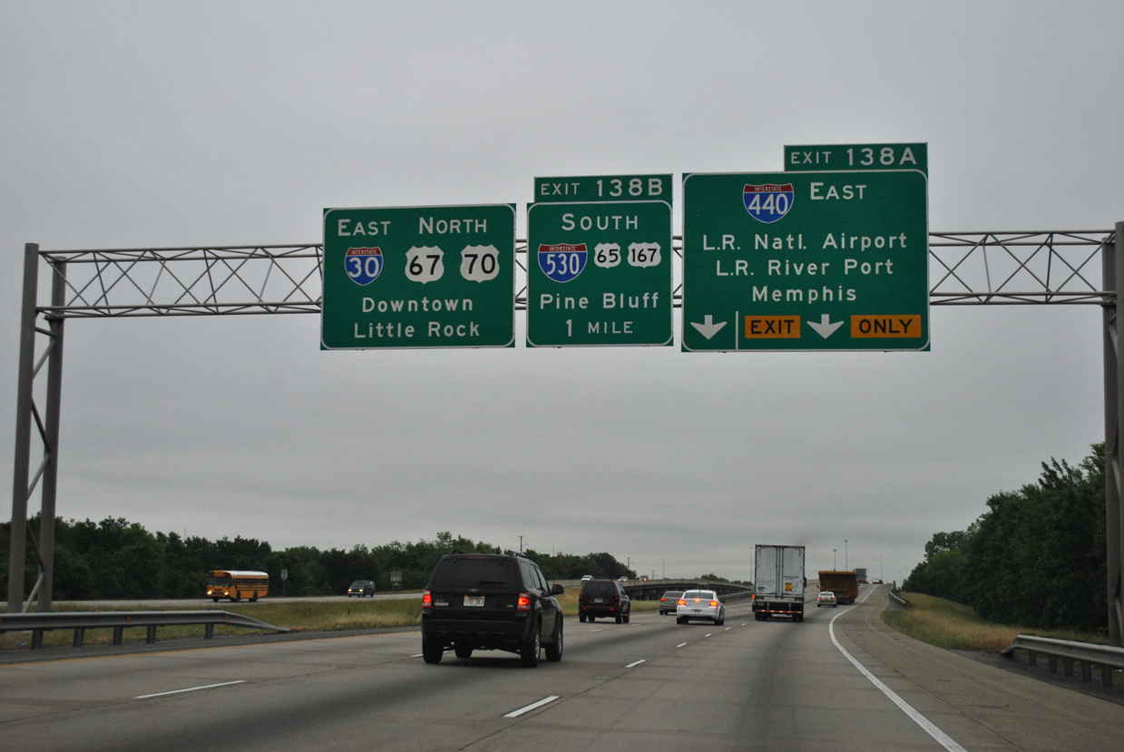
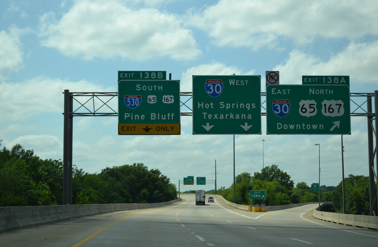
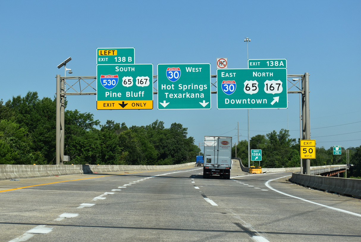
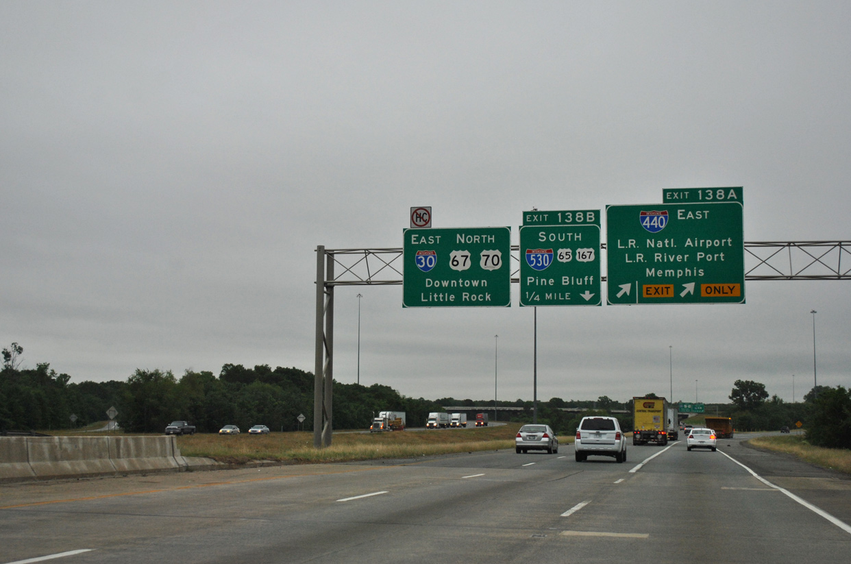
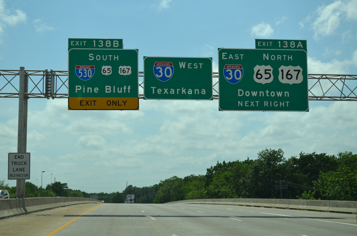
Interstate 30 arcs northeast around the periphery of Granite Mountain to Exit 138 with I-440 (East Belt Freeway) and I-530/U.S. 65-167 south. 05/07/12
North at
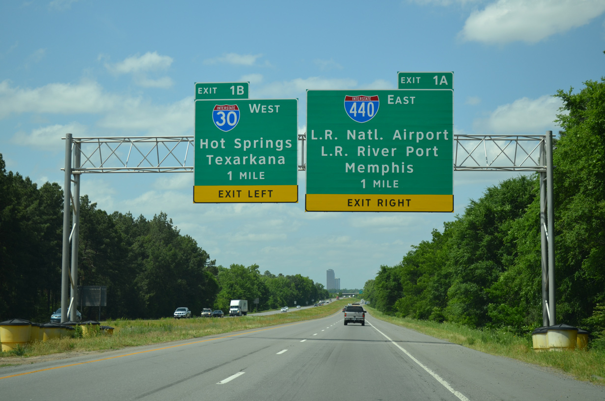
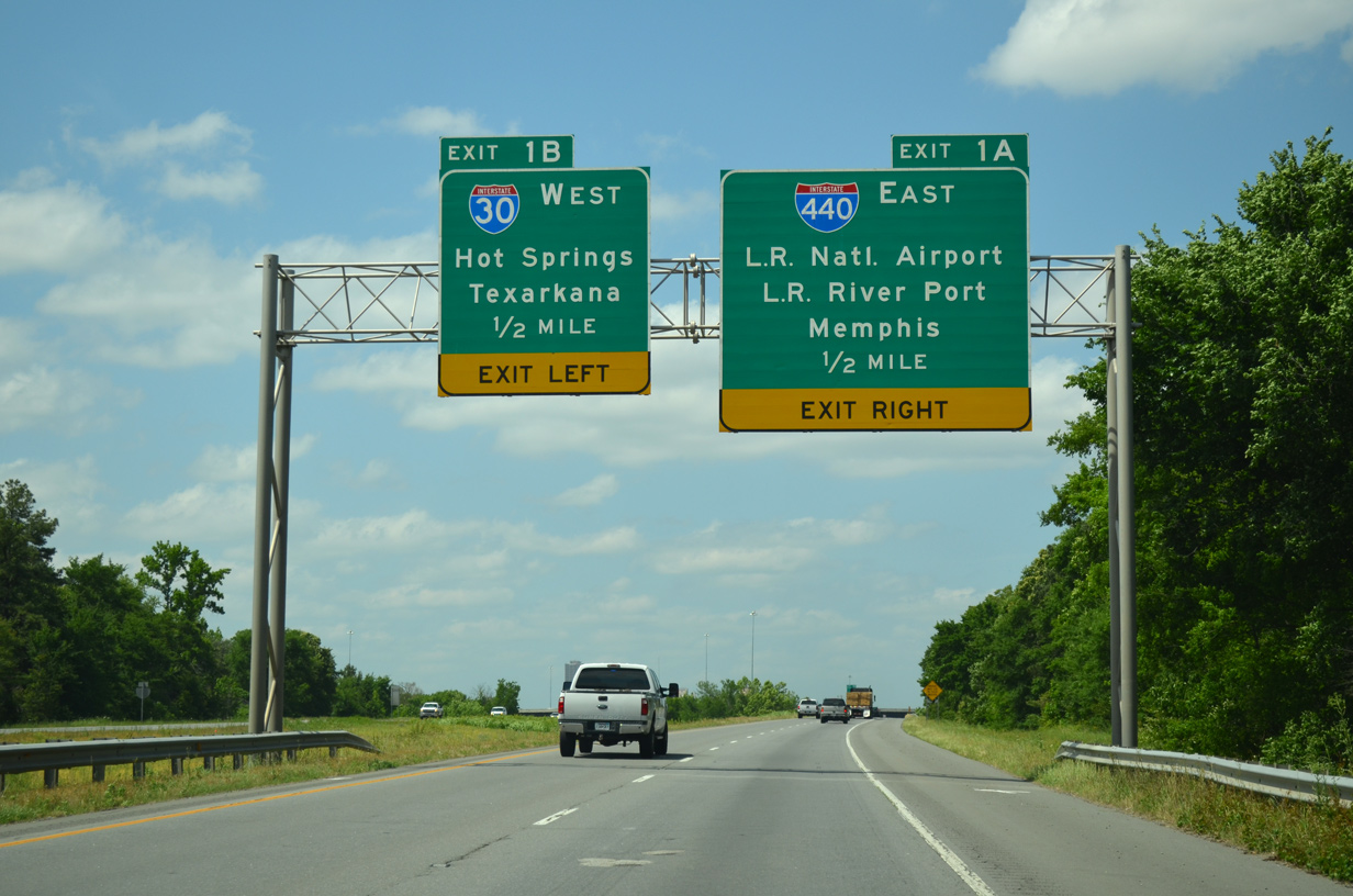
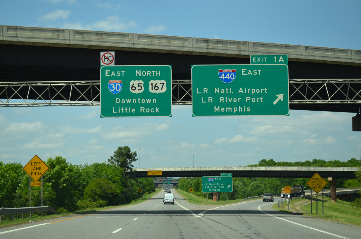
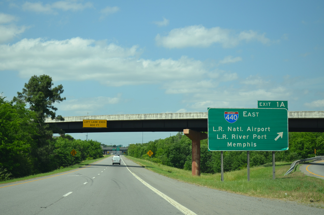
One mile south of Exit 1A for Interstate 440 east and Exit 1B for I-30 west on I-530/U.S. 65-167 north between Echo Valley and Gillam Park. 05/20/14
West South at
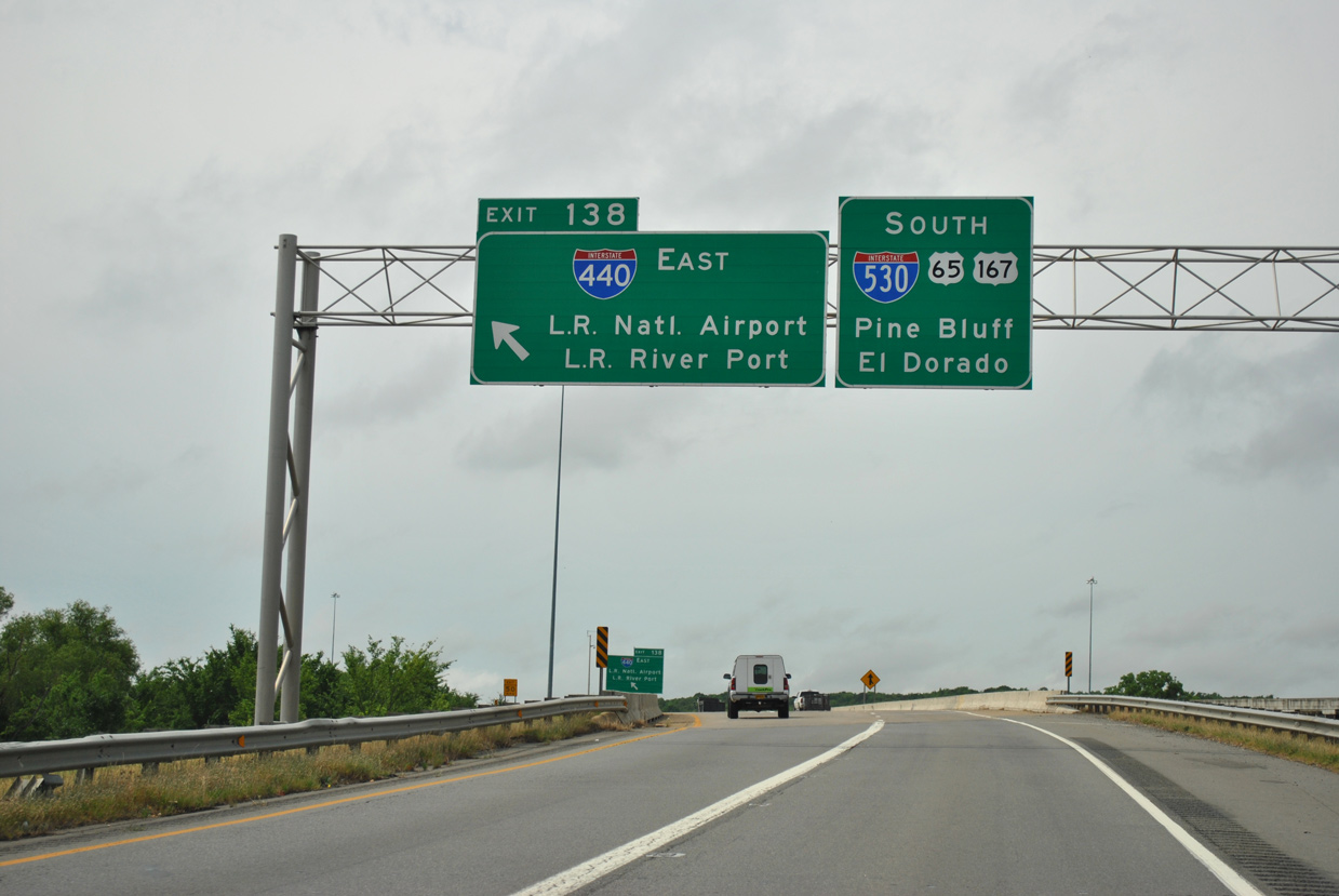
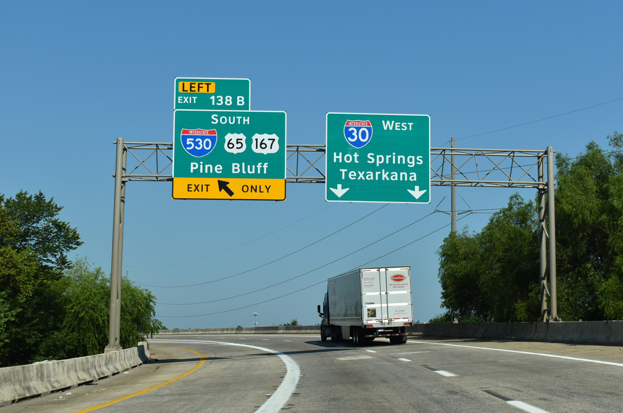
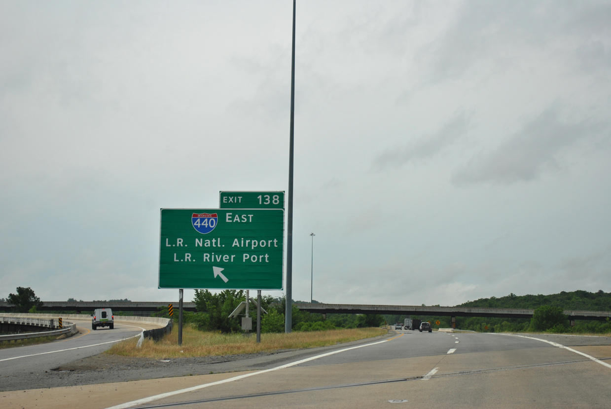
Left Exit 138 connects with I-440 east beyond the Interstate 530 separation from I-30 west. 05/07/12
West End – Past Views
Past Views Gallery (Tap to Expand / Collapse Section)
at
Replaced guide signs at the west end of Interstate 440 in Little Rock. 05/20/14