
Interstate 229 South Dakota
Overview
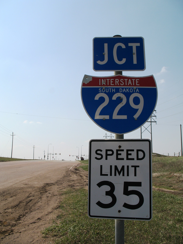
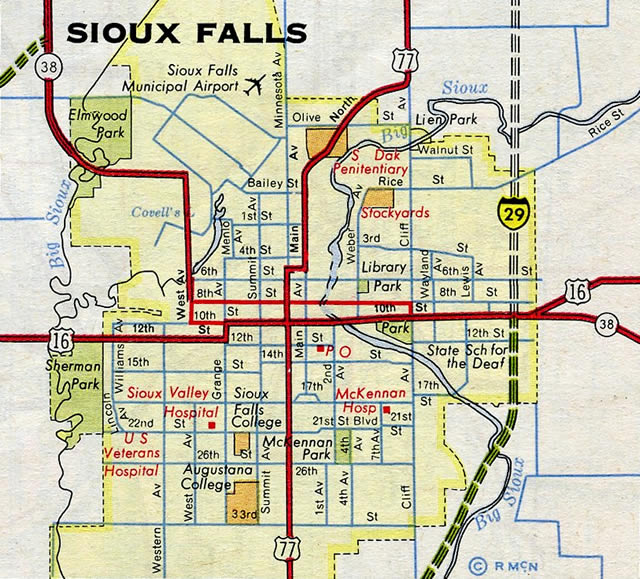
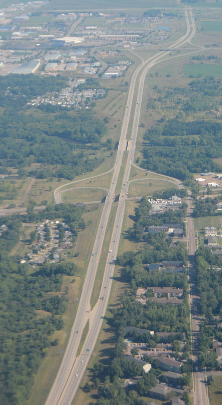
Interstate 229 in South Dakota is an urban loop serving the southern and eastern areas of metropolitan Sioux Falls. The freeway provides a cutoff between I-29 near Tea to the south and Interstate 90 near Brandon to the east. I-229 also serves commuting interests, providing a faster route to Downtown Sioux Falls than I-29 to the west.
Additionally, a 4.4 mile long Business Loop for I-229 provides a direct route to the Sioux Falls City center via Minnesota Avenue from the south and the couplet of E 10th and 11th Streets to the east. The business loop is maintained by the city and signed partially as "Downtown Loop I-229."
The 26th Street Corridor Study evaluates proposed work to reconfigure the folded diamond interchange joining I-229 with E 26th Street and Yeager Road. Additional interchange improvements are considered as part of the I-229 Corridor Study.
Mileage by State
| South Dakota | 11.33 mi |
Data Sources
December 31, 2021 Interstate Route Log and Finders List
History
Interstate 229 was completed by 1962.1 Per the 1962 USGS Quadrangle maps, the interchanges with Louise Avenue, E 26th Street and Benson Road were unbuilt. The south end interchange consisted of just a wye with no access from I-29 south to I-229 north or I-229 south to I-29 north.
North End 
 ‐ Sioux Falls, SD
West at 
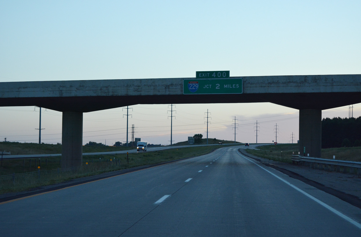
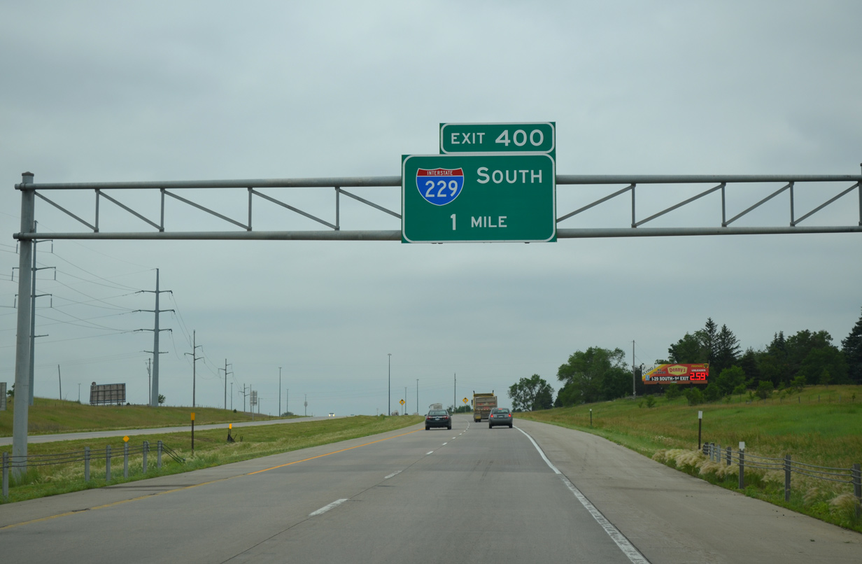
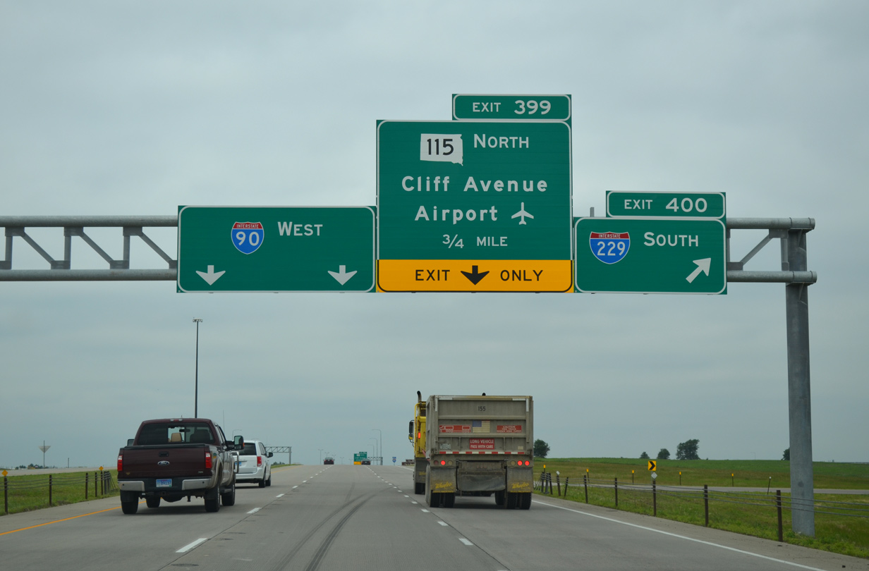
Interstate 90 advances west through rural areas from Exit 402 with Minnehaha County Route 121 (478th Avenue) to the north end of I-229. This exchange was converted to a SPUI in 2019/20. 08/12/16
East at
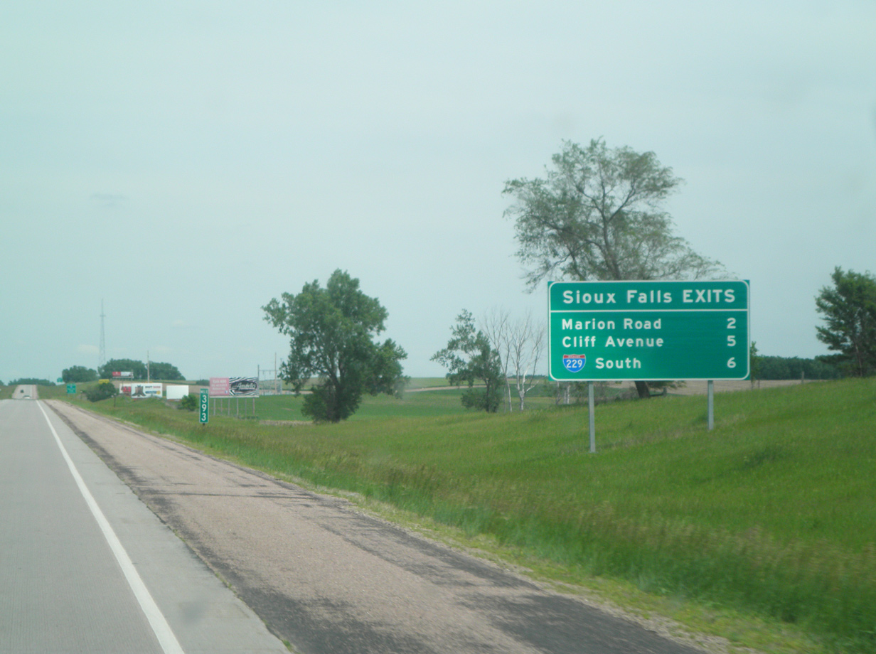
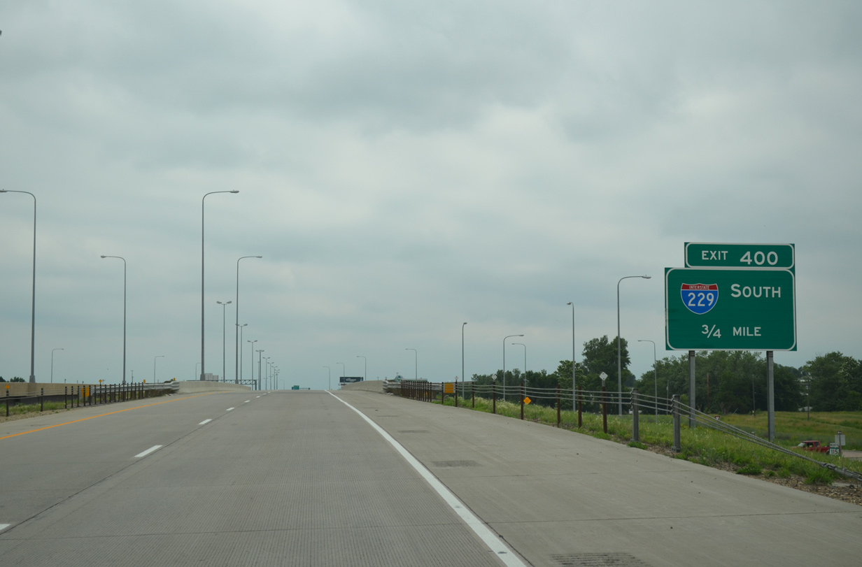
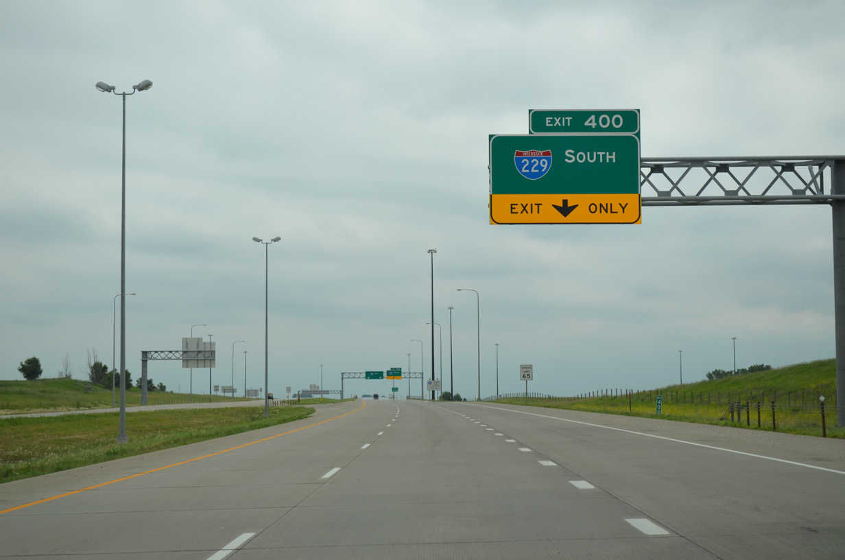
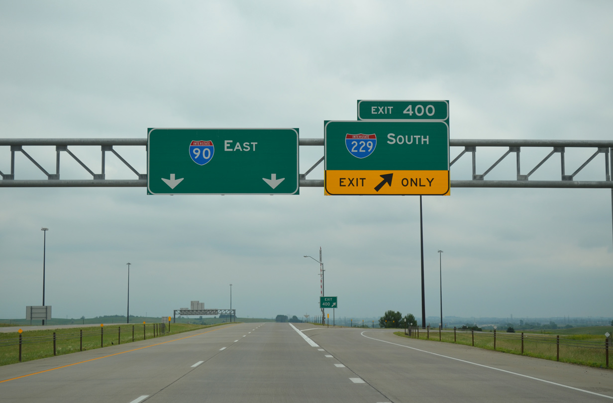
Opened in November 2010, the addition of the exchange at Marion Road resulted in a new community interchanges identification sign posted for the Sioux Falls area exits from Interstate 90 east. Photo by Joseph Barnes (06/04/15).
North at
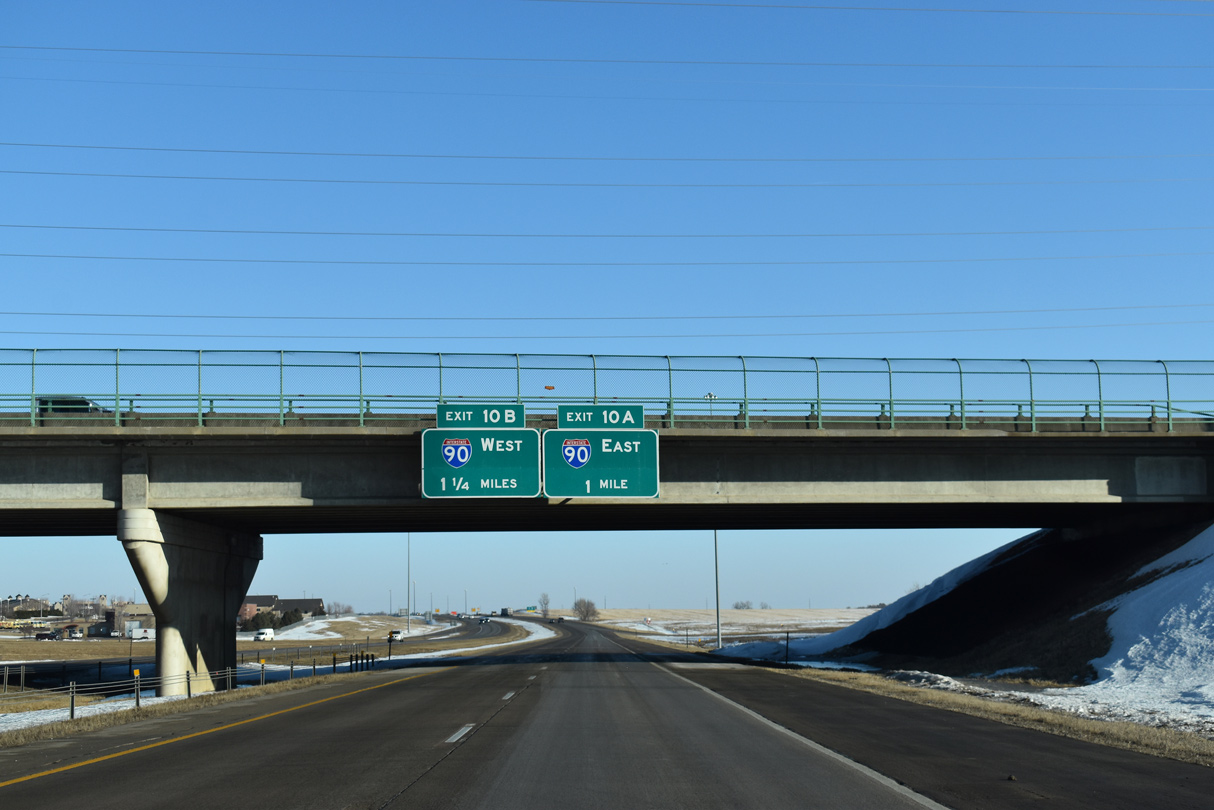
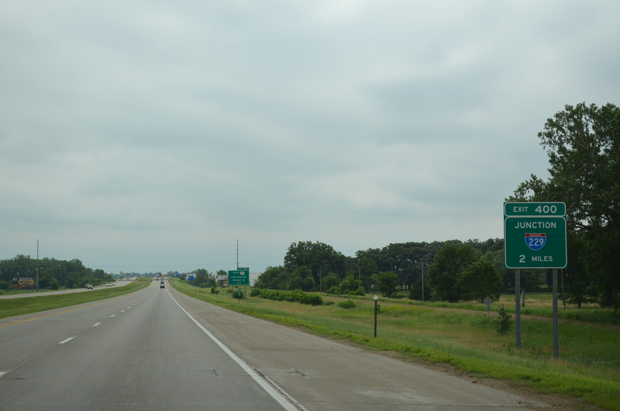
The first signs for the pending junction with Interstate 90 appear on the Benson Road overpass. Most other bridge mounted signs in Sioux Falls were removed by 2015. 02/21/20
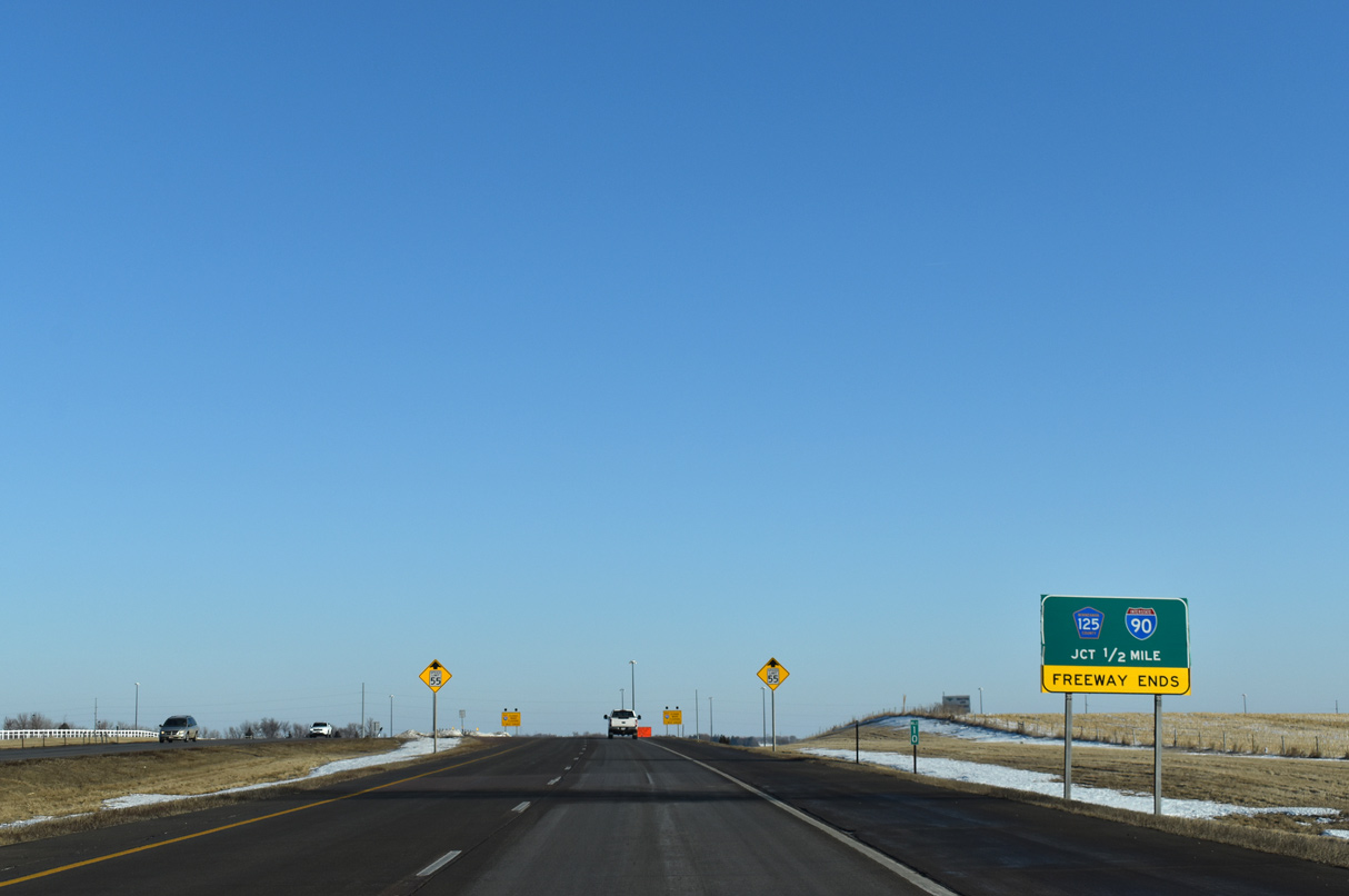
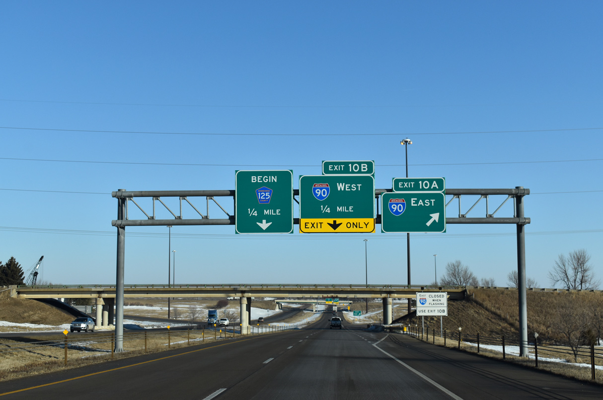
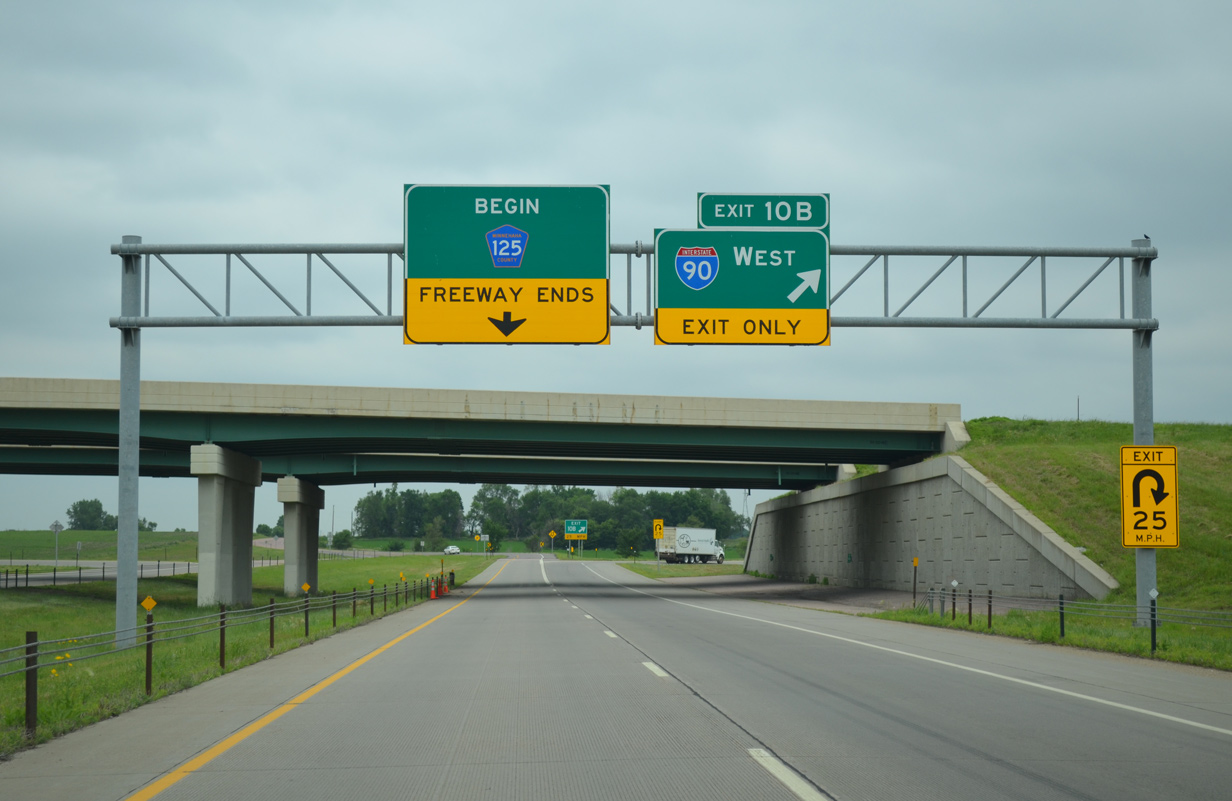
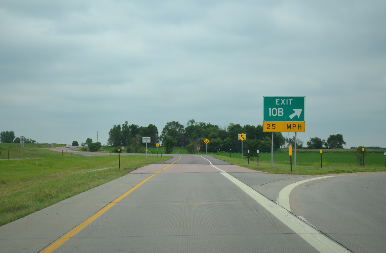
South at
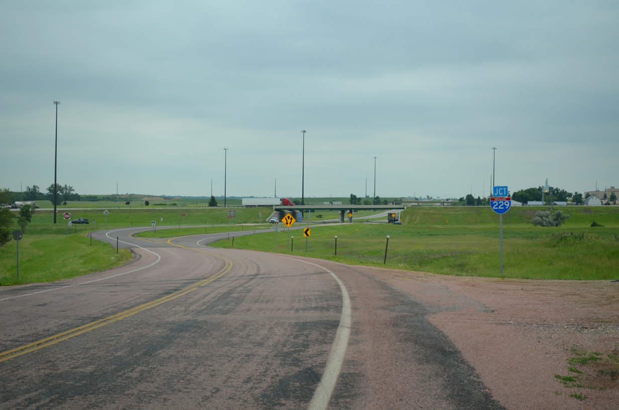
CR 125 emerges from a rural area of Mapleton township and upgrades to a divided highway at the half cloverleaf interchange between I-90 and I-229. 06/17/15
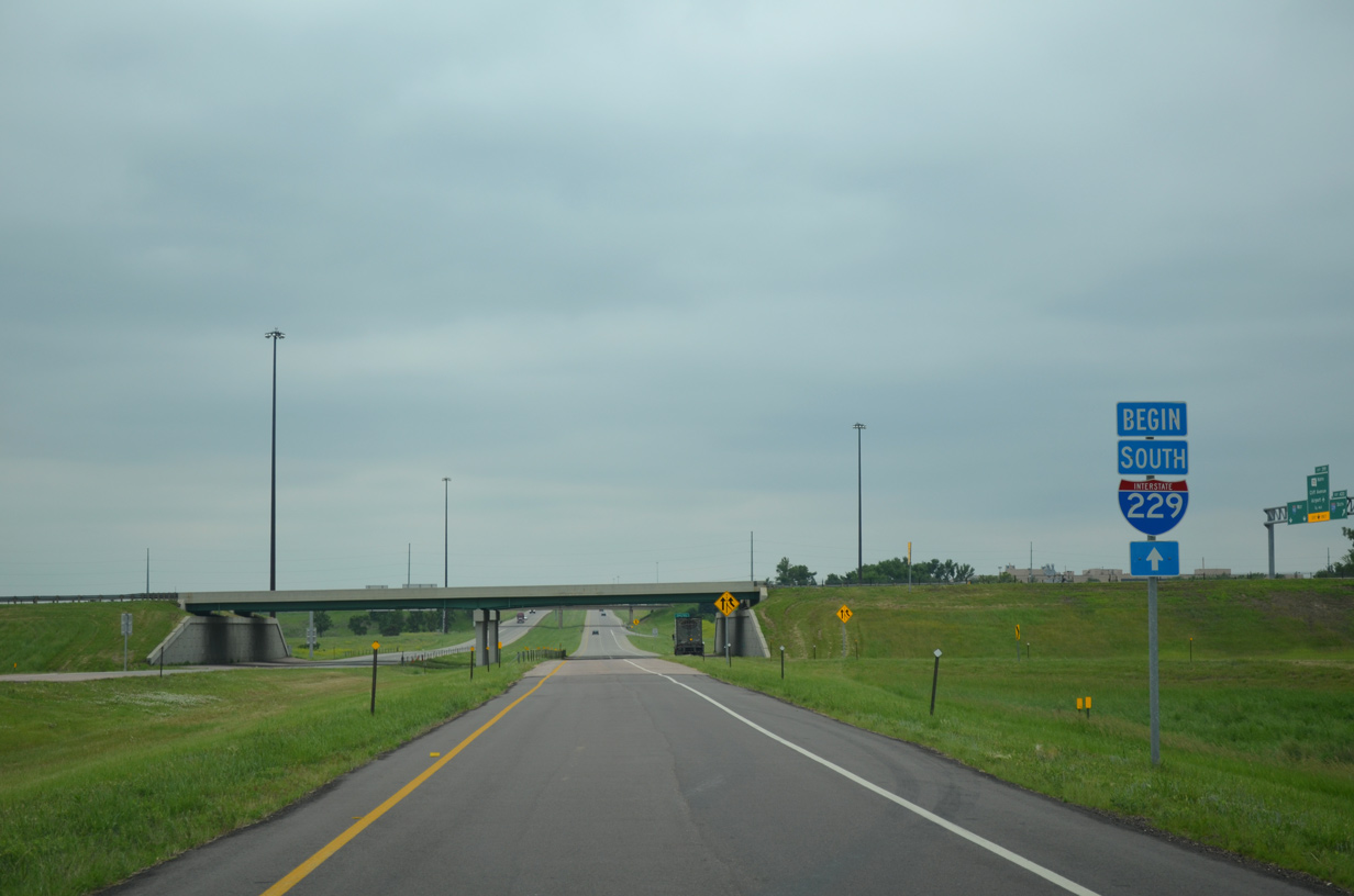
North End – Past Views
Past Views Gallery (Tap to Expand / Collapse Section)
at
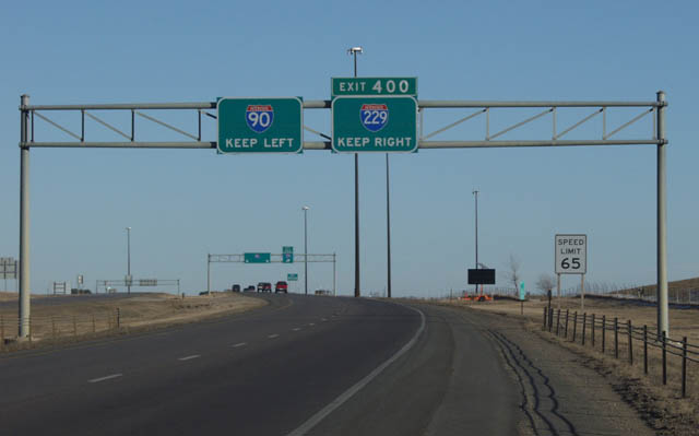
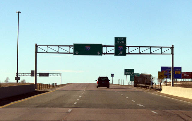
Replaced overheads on I-90 for Exit 400 indicated traffic to keep left or right for the respective freeways. Photo by Jay Maynard (01/05/02).
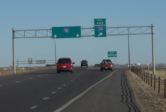
North at
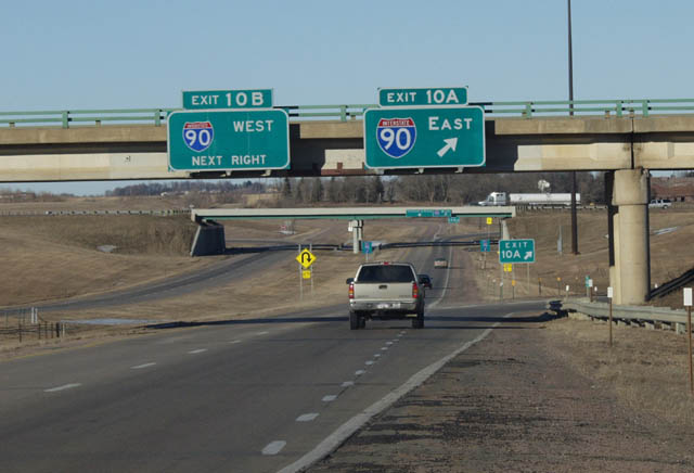
E 60th Street spans I-229 as Exit 10A departed for I-90 east. A new sign bridge replaced these overheads. Photo by Jay Maynard (01/05/02).
South at
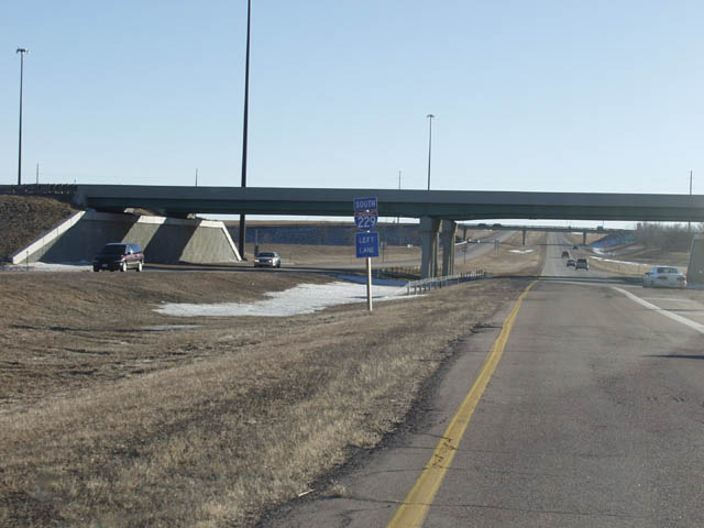
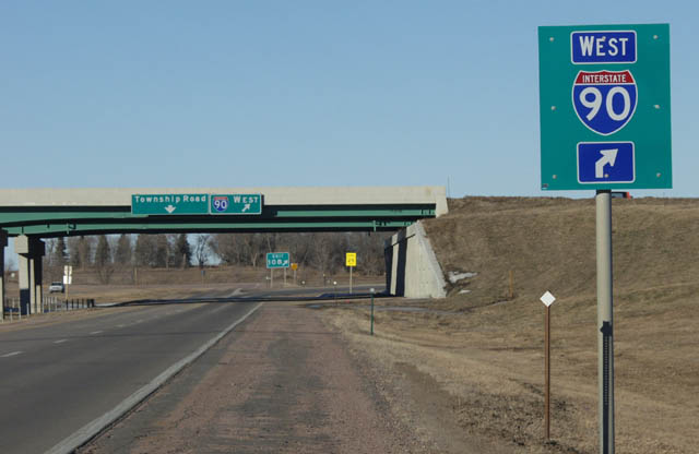
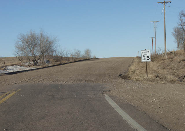
A shield assembly referenced motorists to stay left for I-229 south at the entrance ramp from I-90 west. There is no access to I-90 from CR 125 otherwise. Photo by Jay Maynard (01/05/02).
South End  ‐ Sioux Falls, SD
South at
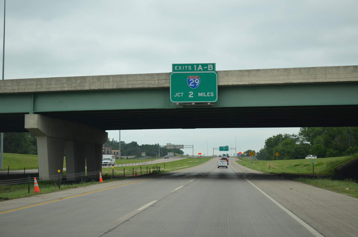
Passing under Western Avenue, two miles north of Interstate 29 on I-229 south. 06/17/15
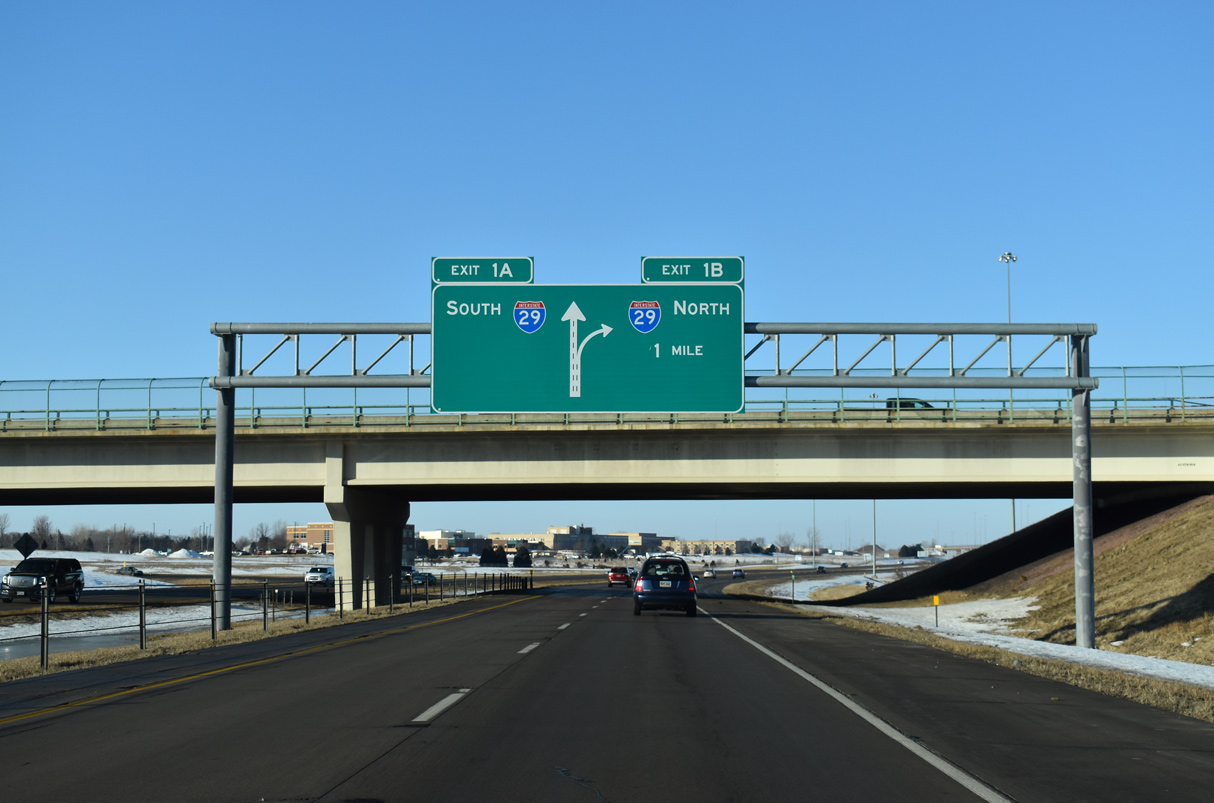
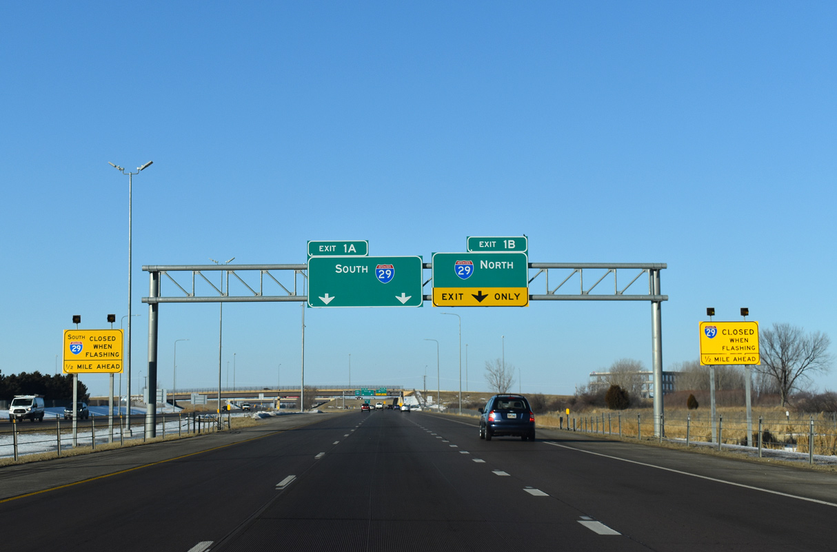
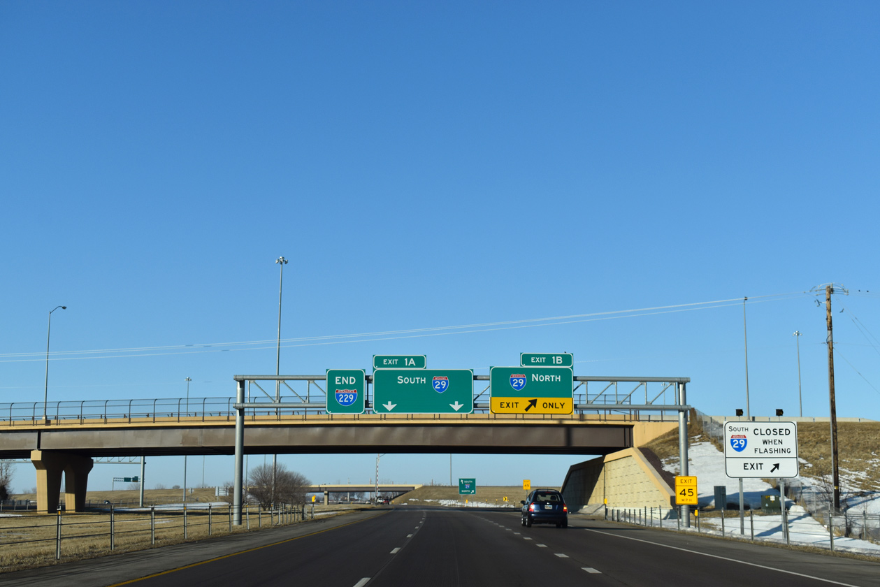
North at
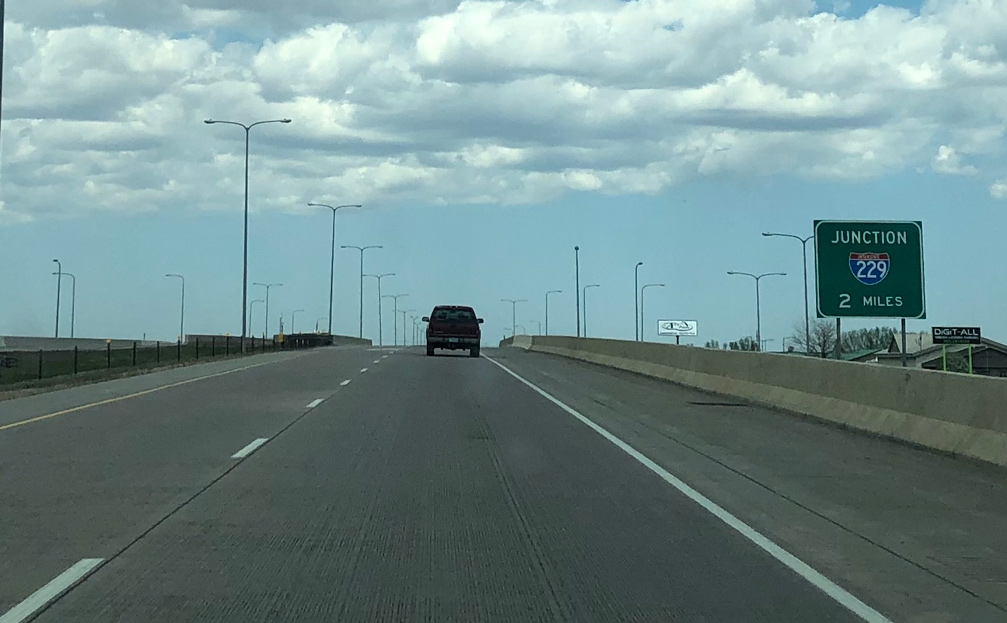
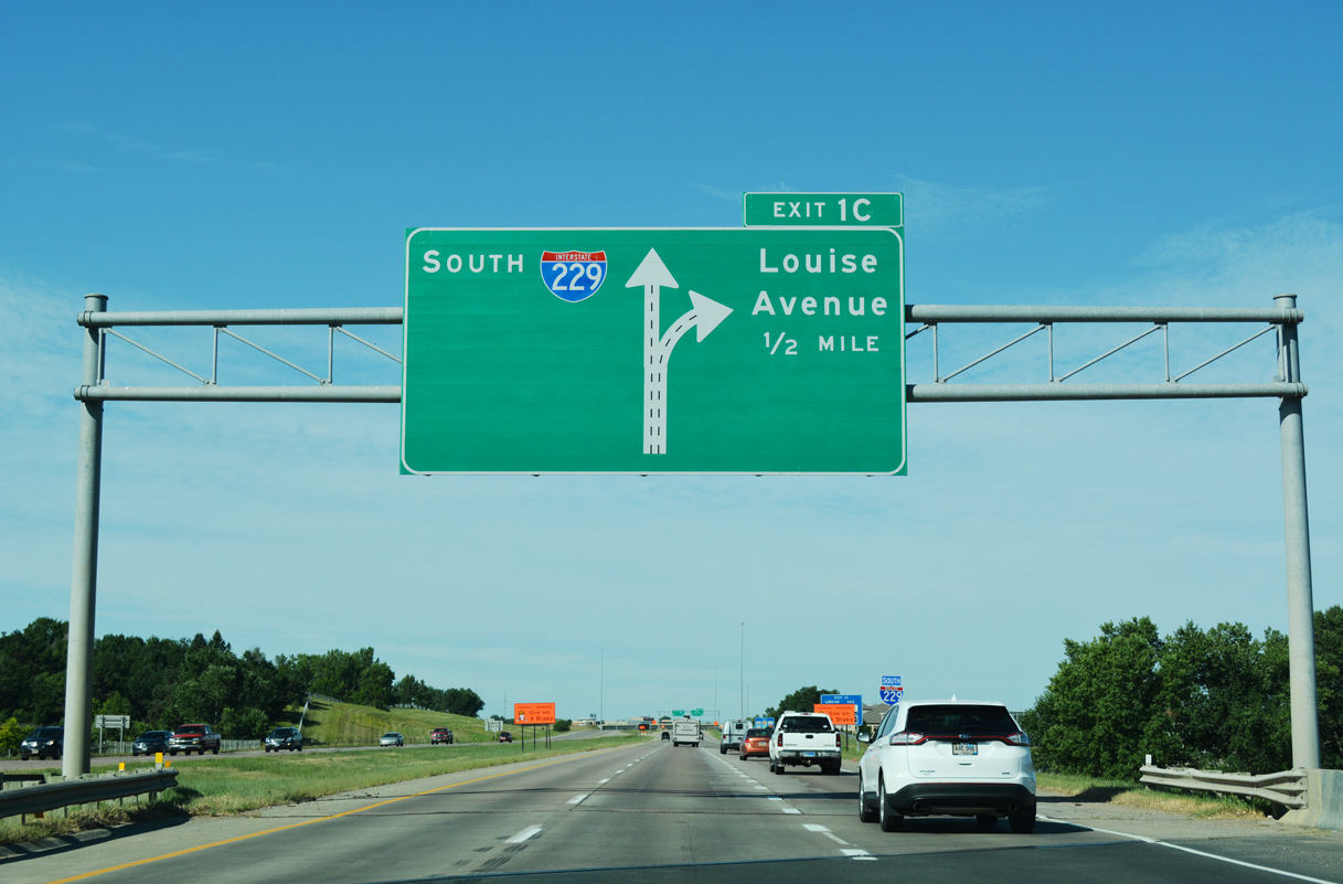
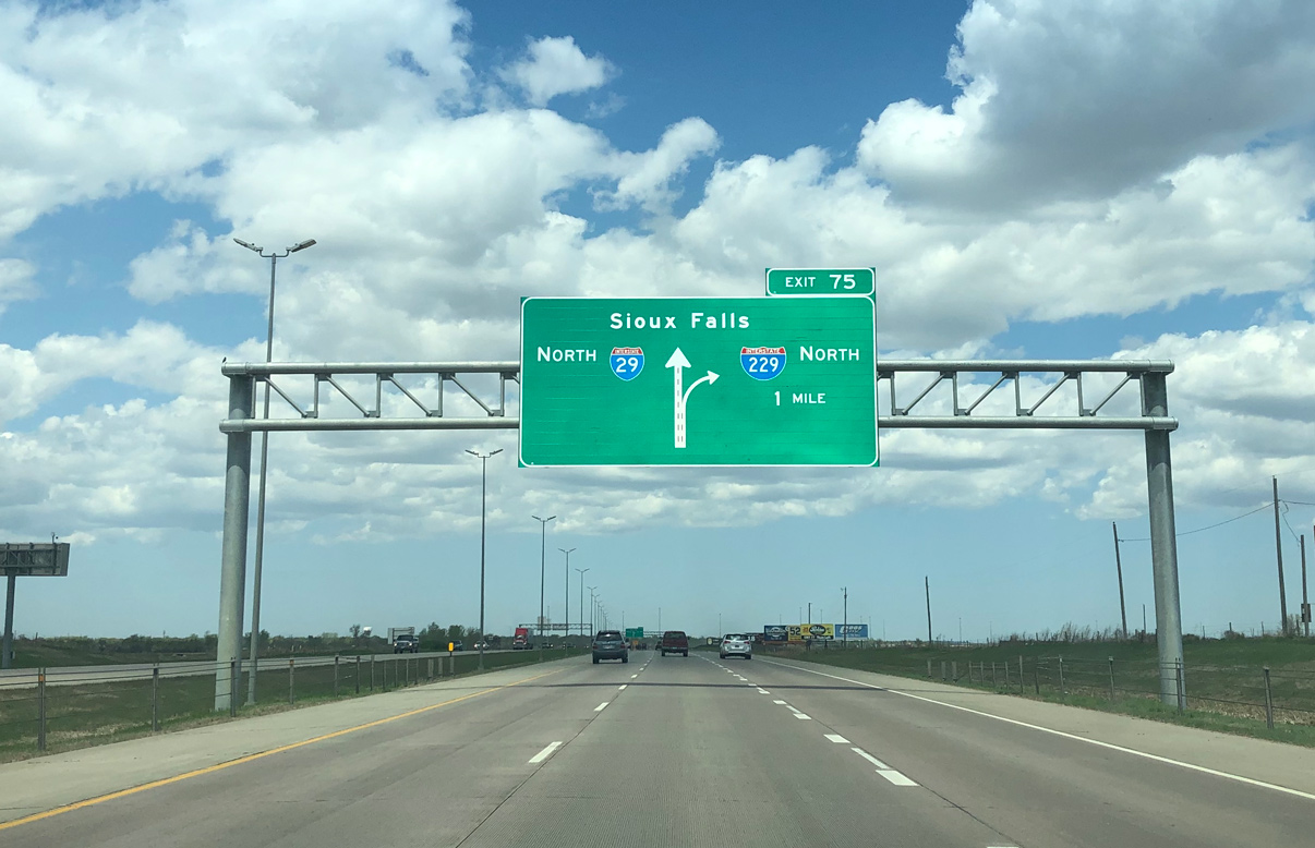
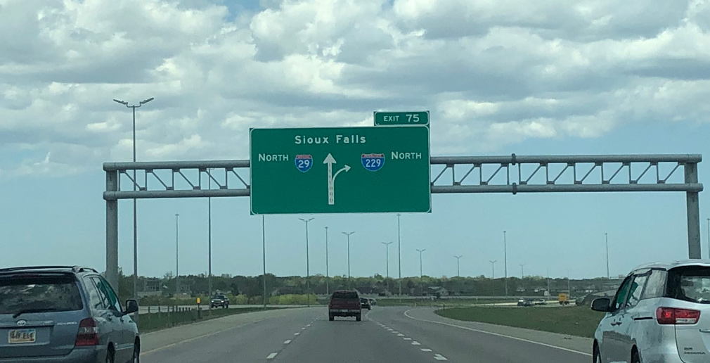
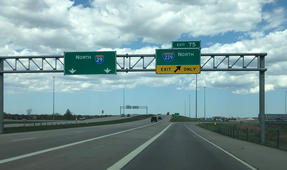
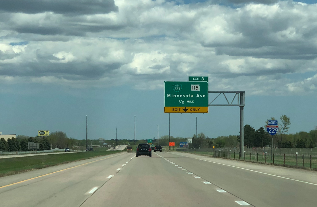
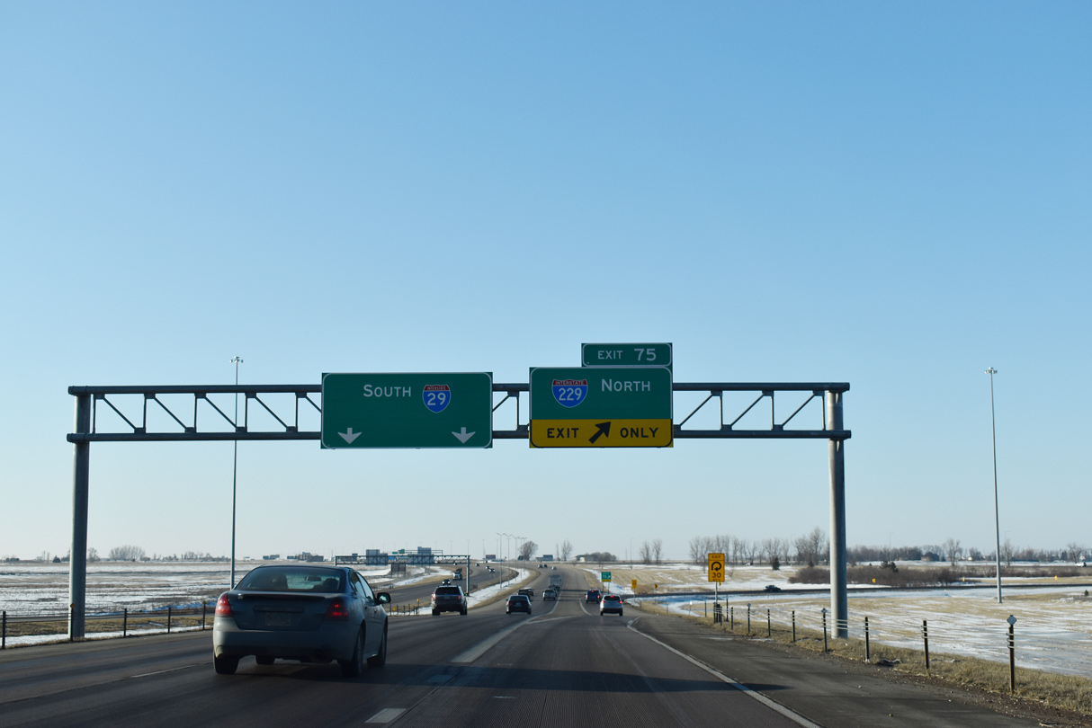
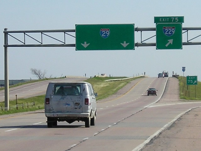
I-29 and I-229 split in the southwestern suburbs of Sioux Falls. Commuter traffic joins I-29 north from growth in the Tea area west of Exit 73. Photo by Peter Johnson (05/03/20).
South at
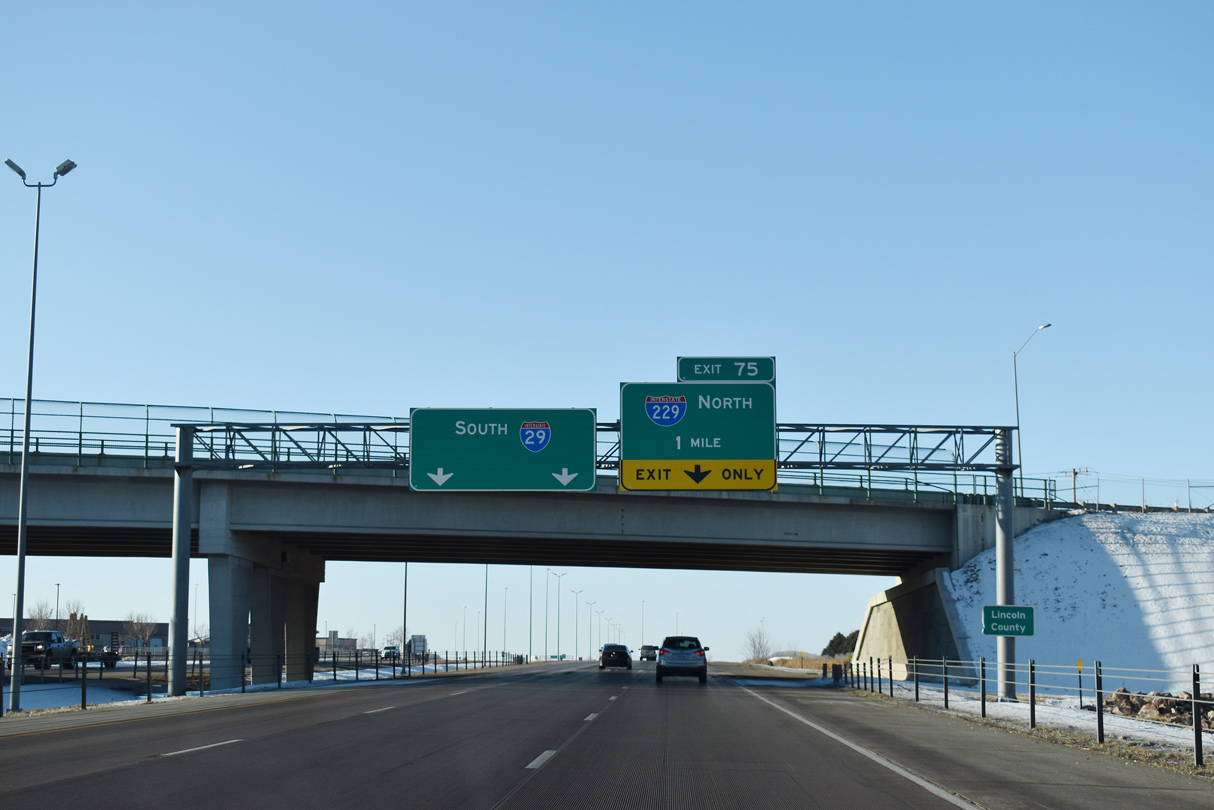
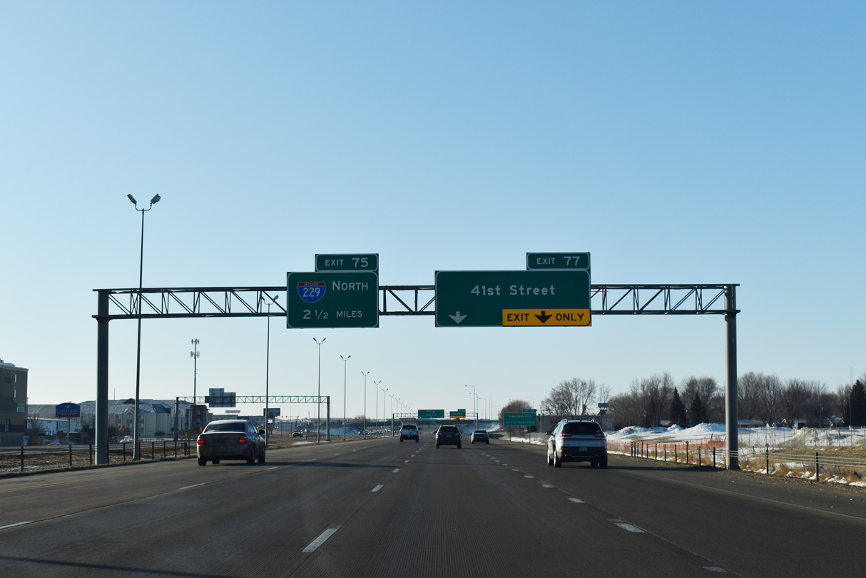
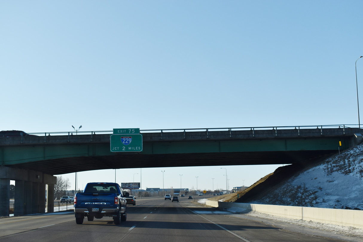
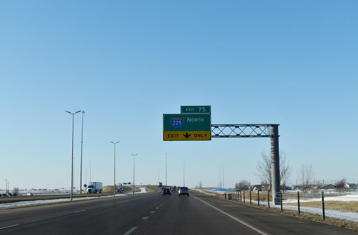
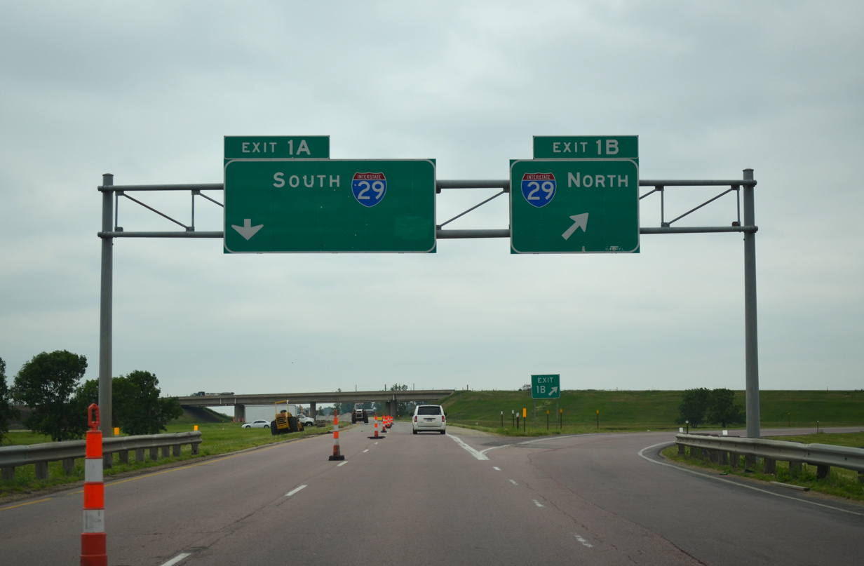
Passing under W 57th Street, I-29 south departs Minnehaha County and next meets the loop ramp for return access to I-229 north. 02/21/20
South End – Past Views
South at
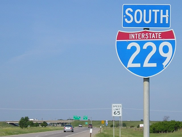
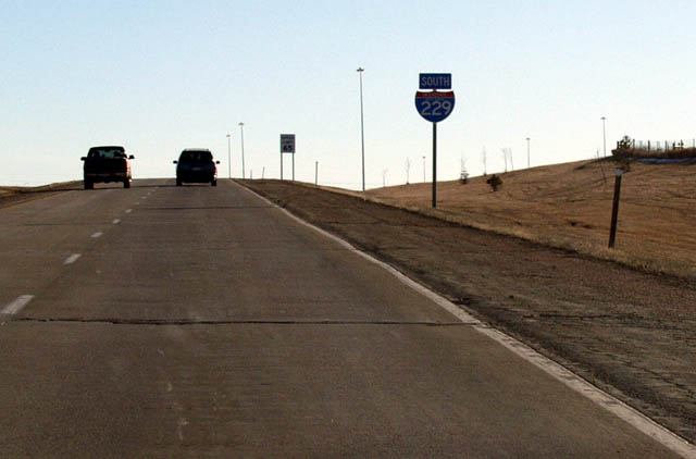
The final reassurance shield for Interstate 229 south. I-229 passes by Avera Heart Hospital just beyond the parclo interchange with Louise Avenue. Photo by Jeff Morrison (06/26/06).
Past Views Gallery (Tap to Expand / Collapse Section)
South at
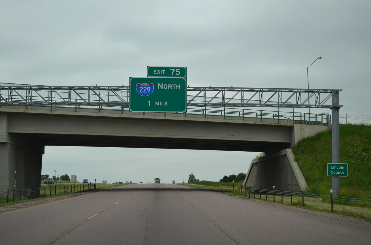
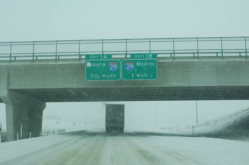
One mile north of Interstate 229 at W 57th Street. 06/17/15
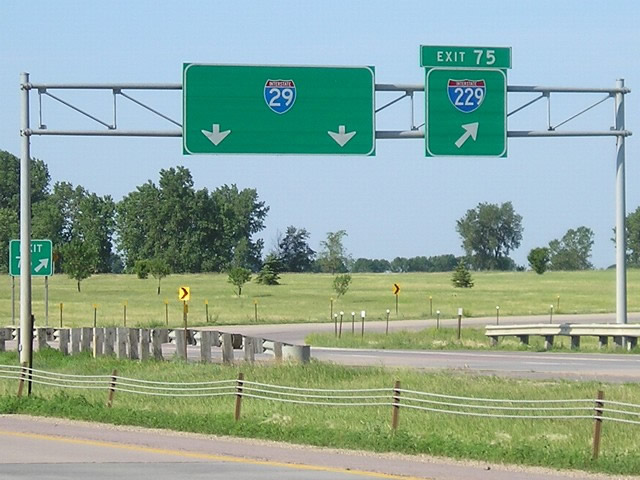
North at
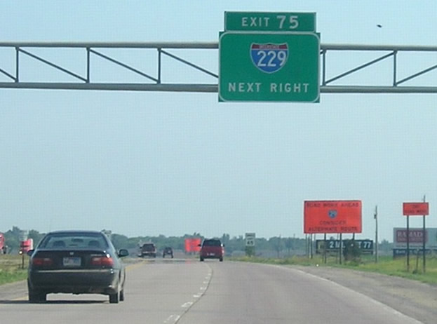
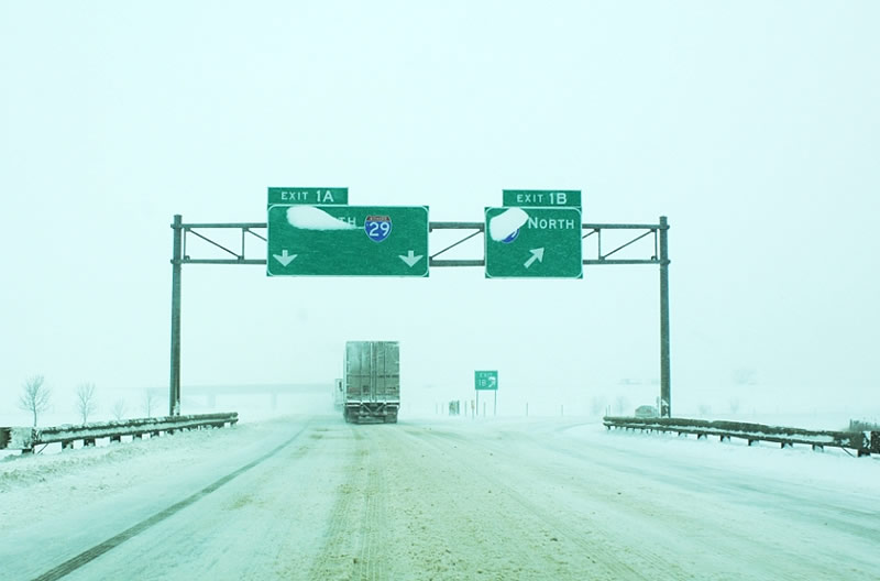
Heading to the split with I-229 north along Interstate 29 with only four lanes instead of six. Photo by Jeff Morrison (06/26/06).
References
- South Dakota Department of Transportation. Retrieved from http://www.sddot.com/dot/publicmeetings/pubmeet_I29I229.aspx
- Geelhart, C. The South Dakota Highways Page: Highways 201 to 1806. Northern Plains Highways. Retrieved from http://www.northernplainshighways.org/sdakota/sd200up.html