
Interstate 15
Overview
Joining the desert southwest with the intermountain west, Interstate 15 provides a major link between the interior of Canada, several transcontinental corridors, Southern California, and Mexico. Travelers westbound on I-40, I-70 and I-80 may easily transition onto southbound I-15 to connect to Las Vegas, Los Angeles, San Diego and International Destinations in Mexico. Between these destinations, I-15 is an extremely busy highway, frequently backing up on holiday weekends in the Mojave Desert.
Originating within Mission Valley in San Diego, Interstate 15 leads north through Murphy Canyon to Miramar Naval Air Station and Kearny Mesa as a busy commuter route to Poway, Rancho Bernardo and Escondido. This stretch includes HOT lanes (Interstate 15 Express Lanes) running between the north and southbound main lines.
Continuing through the North County area of San Diego, I-15 reaches Riverside County and Temecula Valley. There the route splits with Interstate 215 (former I-15E) at Murrieta. I-215 ventures north through Menifee Valley to Perris and San Bernardino while I-15 stays west through Temecula Valley to Lake Elsinore, El Cerrito and Corona. Interstate 15 turns northeastward at Rancho Cucamonga to reconvene with I-215 at Cajon Canyon and Devore.
The freeway meanders north through Cajon Canyon between the San Gabriel and San Bernardino Mountains. Historic U.S. 66 parallels this stretch, with portions still drivable to Cajon. A wide roadway split ensues north of Alray to Cajon Summit, with I-15 straightening out northeast to Apple Valley and Victorville.
Long straight aways become the norm as Interstate 15 advances northeast to Barstow and across the Mojave Desert. Some elevation changes remain along the route, such as where the freeway drops into Cronise Valley or passes between the Soda Mountains. Travelers traverse the dry bed of Ivanpah Lake before crossing the Clark County line into Nevada.
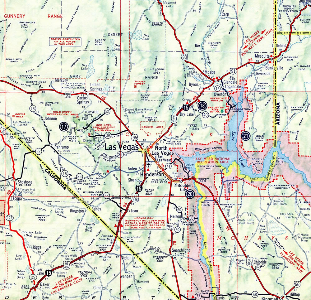
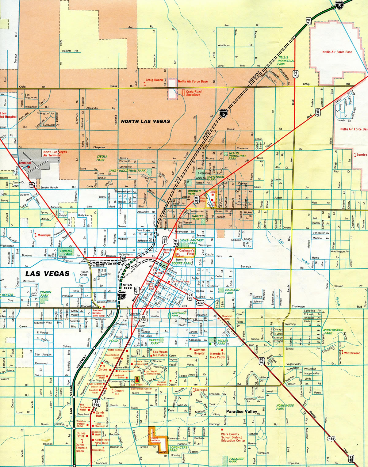
Heading more northerly, Interstate 15 progresses through Ivanpah Valley by the dry Roach Lake between Primm on the state line and Jean. Heavy traffic is common along this stretch during weekends with traffic running between Los Angeles and Las Vegas. I-15 curves northward again into Paradise Valley and the south suburbs of Las Vegas. The freeway increases in both traffic and capacity, eventually reaching the Las Vegas Strip while en route to Downtown.
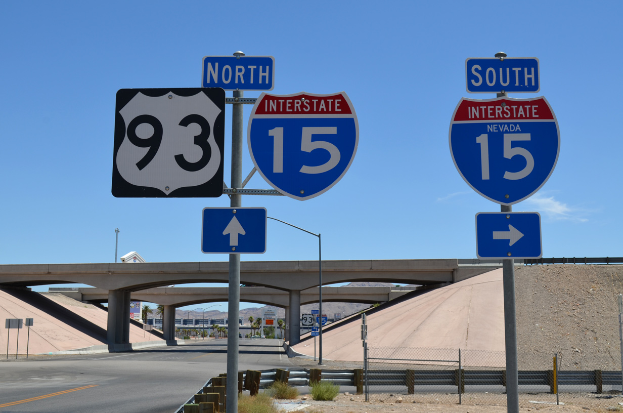
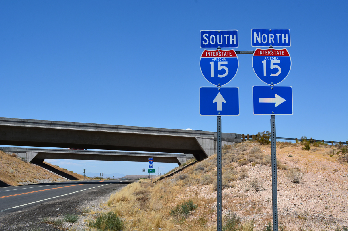
Beyond North Las Vegas, I-15 turns more easterly again by Nellis Air Force Base and Las Vegas Motor Speedway to vacate the Las Vegas metropolitan area toward Dry Lake Valley, Mormon Mesa and Mesquite near the Arizona state line. A short but scenic stretch through Arizona ensues, with I-15 winding through Virgin River Gorge between the Beaver Dam and Virgin Mountains.
Interstate 15 enters Utah at Big Valley and quickly enters the growing city of St. George south of Downtown. St. George includes a freeway loop (Utah State Route 7) encircling newer suburban areas and St. George Regional Airport (SGU) northeast to SR 9 in Hurricane. Northeast from there, I-15 parallels the Hurricane Cliffs to Cedar City and Parowan. The route leaves Parowan Valley northward through Nevershine Hollow east of the South Hills.
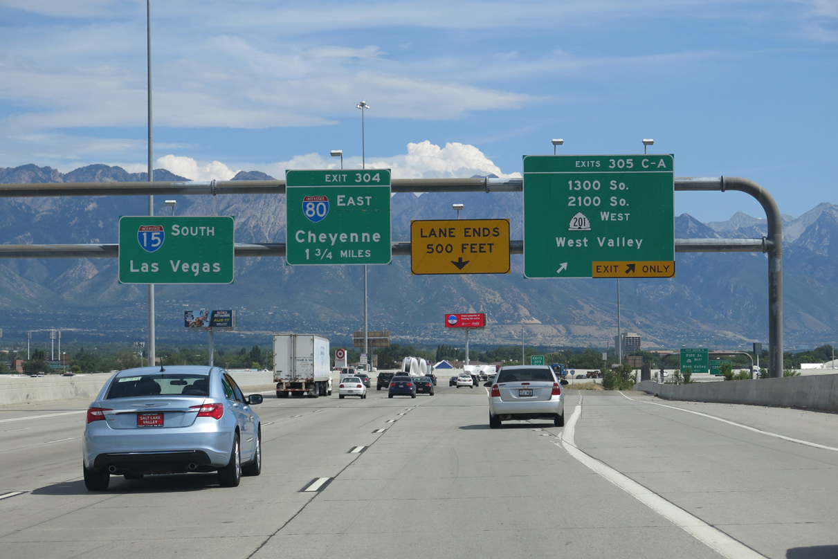
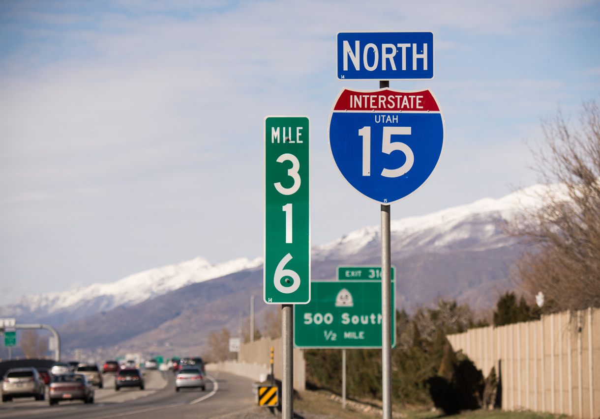
Smaller cities in Utah along I-15 include Beaver, Fillmore, Holden, Scipio and Nephi as the freeway varies in terrain through valley, canyon and hillsides. North of Juab Valley, Interstate 15 lowers into an agricultural area through a series of cities starting with Santaquin and culminating with Provo and Orem. The freeway stays in urban or suburban settings for the majority of the drive northward into Salt Lake City and Ogden. Overlaps along the route include ones with I-80 and I-84.
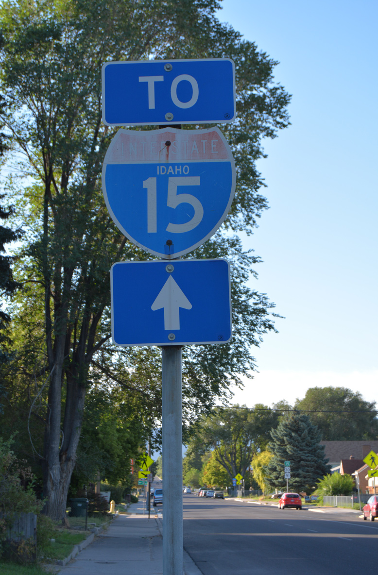
I-15 and I-84 separate at Tremonton through Bear River Valley, with I-15 staying east of the West Hills through Malad Valley into Idaho. The freeway angles northeast across the Bannock Range into Marsh Valley ahead of Pocatello. Advancing from there, I-15 parallels the Snake River through mostly agricultural areas to Idaho Falls. Sparsely populated lands lie north from there as the freeway extends to Targhee National Forest and the ascent to the Continental Divide and Montana.
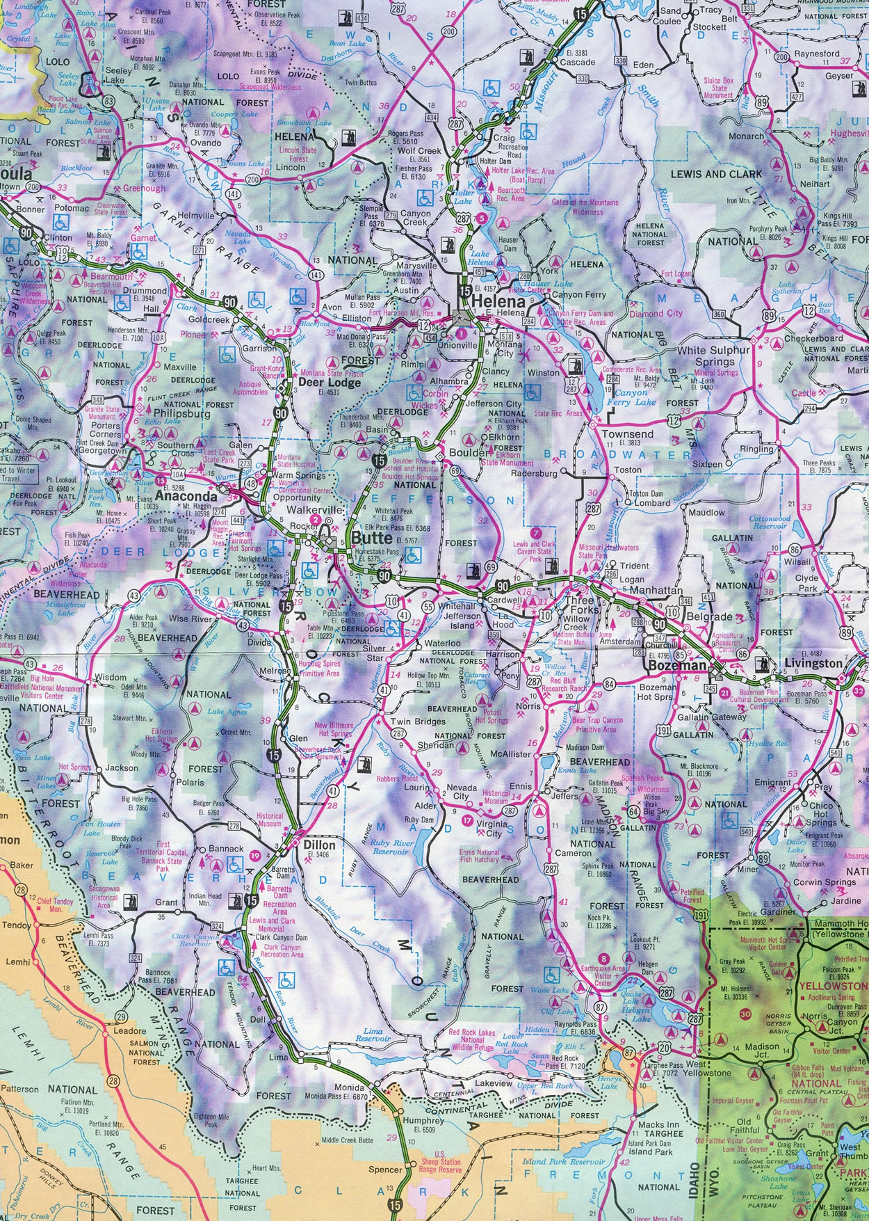
The bulk of the route through Montana directly overlaid U.S. 91. Interstate 15 varies between mountainous terrain and plateaus with farmland to Silver Bow. An eight-mile overlap takes I-15 along side Interstate 90 east to Butte. The freeway resumes a northern heading on the east side of the city through Deerlodge National Forest.
A winding stretch takes I-15 east to Boulder and Boulder Valley, where the route straightens out and again turns north to the capital city of Helena. Interstate 15 follows the course of the Missouri River from east of Wolf Creek to Chestnut Valley and Great Falls. There hidden I-315 spurs into the city. A northwestern turn then takes I-15 from Great Falls to Vaughn. The remainder of the route is rural, as the freeway traverses Teton Ridge en route to Shelby, Sweetgrass and the Canadian Border.
Mileage by State
| California | 287.26 mi |
| Nevada | 123.77 mi |
| Arizona | 29.39 mi |
| Utah | 400.06 mi |
| Idaho | 196.00 mi |
| Montana | 396.03 mi |
Data Sources
December 31, 2021 Interstate Route Log and Finders List
High Priority Corridor
Interstate 15 from San Diego to Mesquite, Nevada via the Inland Empire and Las Vegas is part of High Priority Corridor 16 and 70: Economic Lifeline Corridor. The section of I-15 from Las Vegas to Sweetgrass, Montana, is part of High Priority Corridor 26: CANAMEX Corridor. Between Great Falls and Sweetgrass, the freeway is also part of High Priority Corridor 27: Camino Real.
Parallel U.S. Routes
Between San Diego and Temecula, Interstate 15 replaced U.S. 395. U.S. 395 largely still exists today as a busy expressway route from Hesperia north to Mammoth Lakes, Reno and Spokane, Washington. Remnant original sections of U.S. 395 in San Diego County are readily apparent along the Cabrillo Freeway (now California State Route 163), Kearny Villa Road, Pomerado Road, Old Highway 395 and Rainbow-Temecula Road. At Temecula, Interstate 15 follows old SR 71 to Corona and SR 31 northward to Devore (I-215).
For much of its course, Interstate 15 replaced U.S. 91 (and U.S. 466), which used to provide the most direct route from Los Angeles to Las Vegas. I-15 meets old U.S. 91 (and U.S. 66-395) at Devore; the three routes were replaced by Interstate 15 over Cajon Pass. While U.S. 395 splits off at Hesperia and old U.S. 66 splits east at Barstow, I-15 parallels U.S. 91 for the remainder of its route northward. With the completion of the freeway through California, Nevada, Arizona, and Utah, U.S. 91 was relegated to frontage road status. Since western states generally do not maintain frontage or parallel service roads as state highways, U.S. 91 was decommissioned.
Sections of old U.S. 91 are appear periodically along Interstate 15, both along the business loops through small and mid-sized cities and as frontage roads. One large extant segment of Old U.S. 91 bypasses Virgin River Gorge to the west in the vicinity of Arizona and Utah. For the brief portion of U.S. 91 between Ogden and Twin Falls, Interstate 15 actually replaced an earlier version of U.S. 191. As a result, this short section is all that remains of U.S. 91; U.S. 91 has also been completely decommissioned in Montana.
History
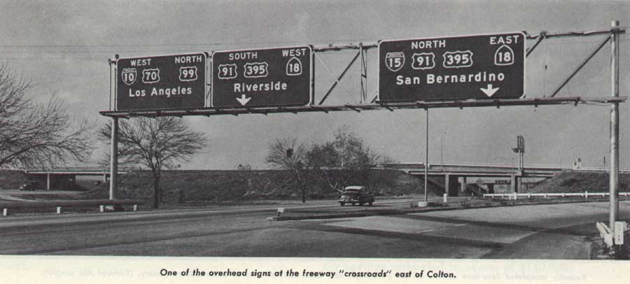
Through Southern California, I-15 was originally proposed southward only to Interstate 10 in the San Bernardino vicinity. Extension of the route south to San Diego was included in the 1,500 mile Interstate system expansion legislation of 1968. This was confirmed by the American Association of State Highway Officials (AASHO) on June 24, 1969. The extension superseded the southernmost extent of U.S. 395.
The bulk of Interstate 15 through California was constructed in the 1970s, with exceptions being across the Mojave Desert, where the freeway was constructed as early as 1961 from East Baker (Exit 248) to Cima Road (Exit 272). Through San Bernardino and Rancho Cucamonga, the route of I-215 defaulted as the mainline of I-15 until the section from SR 91 to SR 60 opened to traffic on February 28, 1989. A surface route, SR 31, was labeled as TEMP I-15 until that time.
Interstate 15 and I-15E
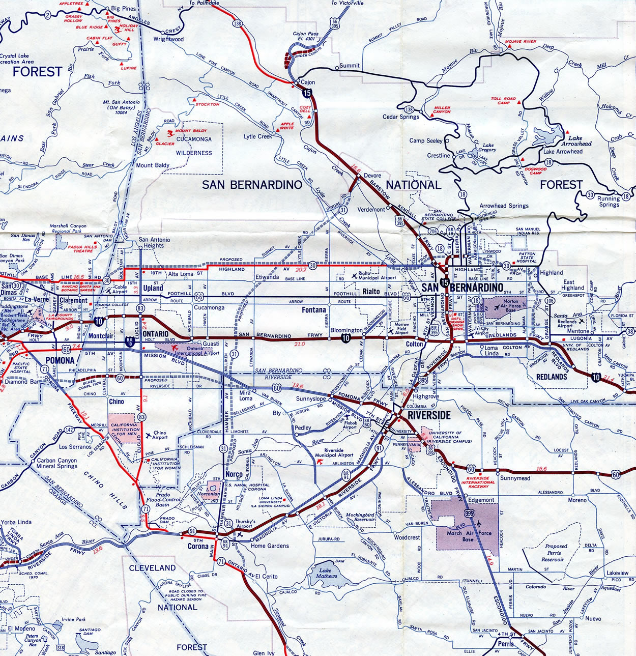
The initial planned alignment for I-15 took the route directly south from the junction with I-10 at Colton on the ridge between Reche Canyon and Pigeon Pass and then descend from the Box Springs Mountains near the present eastbound split of Interstate 215 and SR 60 to overtake U.S. 395 south from March AFB. This proposal was short lived due to the presence of unstable compressed sandstone. Instead the freeway was rerouted to the west through less rocky terrain. Diverging from U.S. 395 between Grand Terrace and Highgrove, the proposed route shifted southeast of Iowa Avenue to follow a Santa Fe Railroad line along the base of the Box Springs Mountains to the east of the University of California, Riverside (UCR) campus. The alignment converged with U.S. 395 and SR 60 juts north of the present route split of I-215 and SR 60 in Moreno Valley. Potential impacts to the UCR community led to the cancellation of this proposal by 1969 as well.1
Having been bypassed by the new alignment of Interstate 15, the cities of Riverside and San Bernardino voiced concerns citing negative impacts to development plans. Officials countered with a plan to renumber the western route as Interstate 15W while recommissioning the U.S. 395 alignment (which was redesignated as SR 194) as I-15E, despite it not being an Interstate highway. The American Association of State Highway and Transportation Officials (AASHTO) provided the option to retain Interstate status on U.S. 395 through San Bernardino until the Ontario-Devore segment of new I-15 could be completed. They approved I-15E as a temporary designation for the route southeast from Devore to I-10 and it was posted by late 1972.1
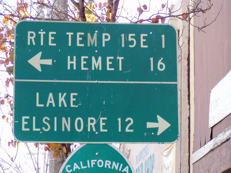
These actions benefited San Bernardino but still omitted Riverside. Objections from the city for being left off the Interstate system coincided with 1973 legislation passed that introduced chargeable/not chargeable mileage for Interstate construction. This opened the door extending I-15E south along U.S. 395 to the new I-15 route at Murrieta as a nonchargeable route. With backing from the local Congressional delegation, I-15E was signed in place of U.S. 395 south to the SR 60 split at Moreno Valley by Spring 1974. The remainder of the route south to Murrieta was posted as Temporary I-15E by mid 1975, and SR 71 south from there as Temporary I-15.1
District 8 planners devised an alternate route in 1970 along the proposed SR 31 freeway. With significantly less impacts, the alignment extended north from Corona through eastern Ontario and northeast around the Lower Lytle Creek Range to meet Interstate 15 at Devore in Cajon Canyon. The reroute of I-15 to the west shaved about 23 minutes off the Los Angeles to Las Vegas routing by eliminating the loop east into San Bernandino. The south end of SR 31 also tied into the proposed SR 71 freeway south of Corona, ten miles of which was already constructed to Lake Elsinore. Overall the western alignment of I-15 was ten miles longer than the planned course south of San Bernardino, but was otherwise well received. The Division of Highways pursued the SR 31 option by mid 1970, leading to Federal Highway Administration (FHWA) concurrence by Fall of that year.1
FHWA initially raised an object to the new SR 31 alignment for I-15 related to the preexisting Interstate 15 southeast from Devore to I-10 at Sen Bernandino. It was thought that the section previously received chargeable Interstate funds, but a perusal of records indicated that the segment between I-10 and 5th Street (U.S. 66) commenced construction in early 1956, a year prior to the first distribution of Interstate funds. Only the segment north of there was part of chargeable construction. Negotiations between the state and FHWA led to an agreement where California would wave any rights to Interstate maintenance or construction funds for the old I-15 segment between Devore and I-10 in exchange for full funding of the new alignment using the SR 31 and SR 71 corridor. Construction followed in Spring 1971 on the systems interchange at Devore and initial alignment leading southwest.1
Renumbering Interstate 15E was proposed circa 1979 by Caltrans. The state opted for 215, which was previously applied to an urban surface-street connector in Pomona until its deletion in 1965. AASHTO concurred and approved of the redesignation of I-15E to I-215 on June 28, 1982. During that time, the route was mostly limited access, with at-grade intersections remaining between Sun City and Perris and from Perris to SR 60. Temporary Interstate signs were no longer used by then and instead the non-freeway portions were signed with trailblazers for I-215 along northbound and with SR 215 shields southbound.1
For more details and a time line of the Interstate 15 history in the Golden State, see the California Guide on AARoads.
California State Route 15
Wabash Boulevard was the predecessor to SR 15 near the Barrio Logan community in San Diego. The boulevard was constructed to older freeway standards by the City of San Diego as a route between the Naval Center at 32nd Street and Mid-City. The freeway was initially not a part of the state highway system.
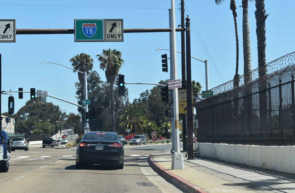
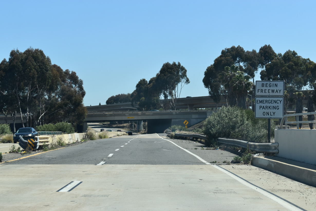
Following the extension of Interstate 15 south into San Diego County, Wabash Boulevard was considered as the southernmost segment of the route. Known by most locals as "the 15", Wabash Boulevard was eventually upgraded to Interstate standards between I-5 and SR 94 through the removal of some on-ramps and addition of longer acceleration ramps.
NevadaFor more on the Interstate 15 background in the Silver State, see the AARoads Guide for Interstate 15 Nevada.
ArizonaInterstate 15 through the Virgin River Gorge in Arizona opened to traffic on December 14, 1973. The final section of I-15 completed was the bypass of Plymouth, Utah, which opened to traffic on November 20, 1990.2
UtahCosting $1.59 million in funds, a major overhaul of the 30 year old Salt Lake City Interstate system kicked off in April 1997. 17 miles of freeway were modernized, with I-15 expanded to eight overall lanes including an HOV lane in each direction. Interchanges at each end of the overlap with I-80 were also upgraded and all bridges and overpasses in the project area were replaced. Work was completed on May 14, 2001 in preparation for the 2002 Olympic Winter Games.3
See the AARoads Guide for Interstate 15 Utah for historical dates on the original freeway construction in the Beehive State.
IdahoThe second suffixed route for Interstate 15 linked Pocatello with American Falls and I-80N near Rupert to the west. Signed as Interstate 15W, this was renumbered as the Western I-86 as approved by AASHTO on July 6, 1977.
MontanaThe first Interstate project contracted in the Treasure State by the Montana Highway Commission was the five mile section of I-15 between Monida and Lima. Work on the freeway through Wolf Creek Canyon commenced in 1961. Overall construction of Interstate 15 in Montana wrapped up in 1988 with expansion of the two-lane freeway along a seven mile section south of Dillon.4
Future Plans
The south end of Interstate 15 is located at the exchange with I-8 in San Diego (Mission Valley) near the site of SDCCU Stadium. For many years, the freeway south of Interstate 8 was incomplete, with California State Route 15 following 40th Street, a city street, through the Mid-City of San Diego. With the completion of the freeway along SR 15 in January 2001, Interstate 15 was planned for extension to meet I-5 in Barrio Logan. However, this redesignation has not occurred due to the substandard nature of the SR 15/94 interchange. This exchange may be reconstructed as part of a project to add Express Lanes along SR 94. Alternative 1 of the Express Lanes project includes the replacement of left side freeway-to-freeway connectors at the SR 94/SR 15 interchange with connections from the right side. If approved, the project completion date is slated for 2025. This was revised from 2020 on the February 2015 Project Fact Sheet. Plans previously called for upgrading this interchange, along with the removal of left exits and blind merges, by 2008 and later beyond 2010.
A transit corridor under construction along the freeway median of SR 15 in San Diego included sign replacements made by June 2016. The new signs continue to reference the freeway as a state route:
North End ‐ International Border – Sweetgrass, MT
 North
North
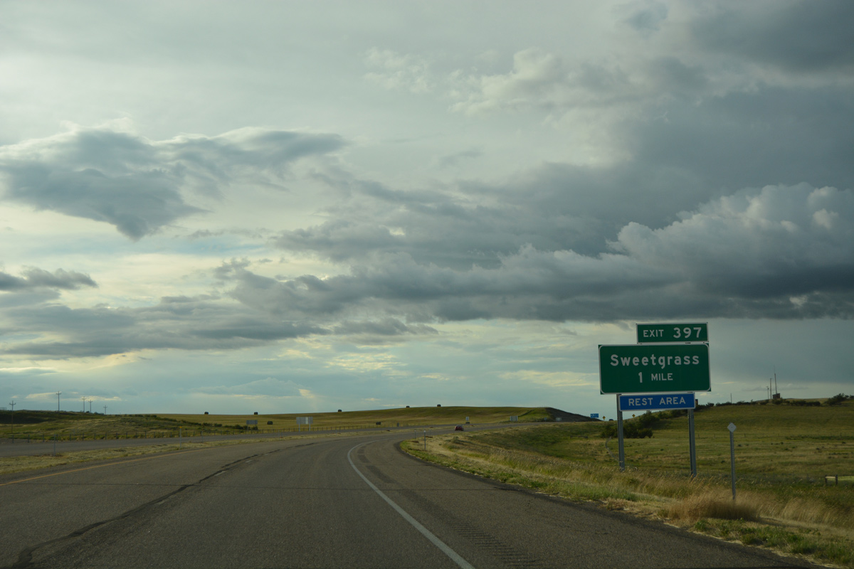
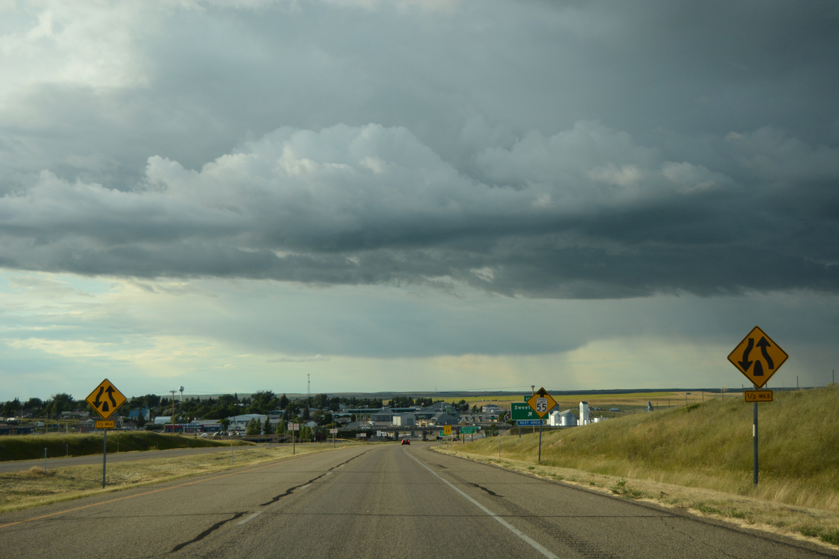
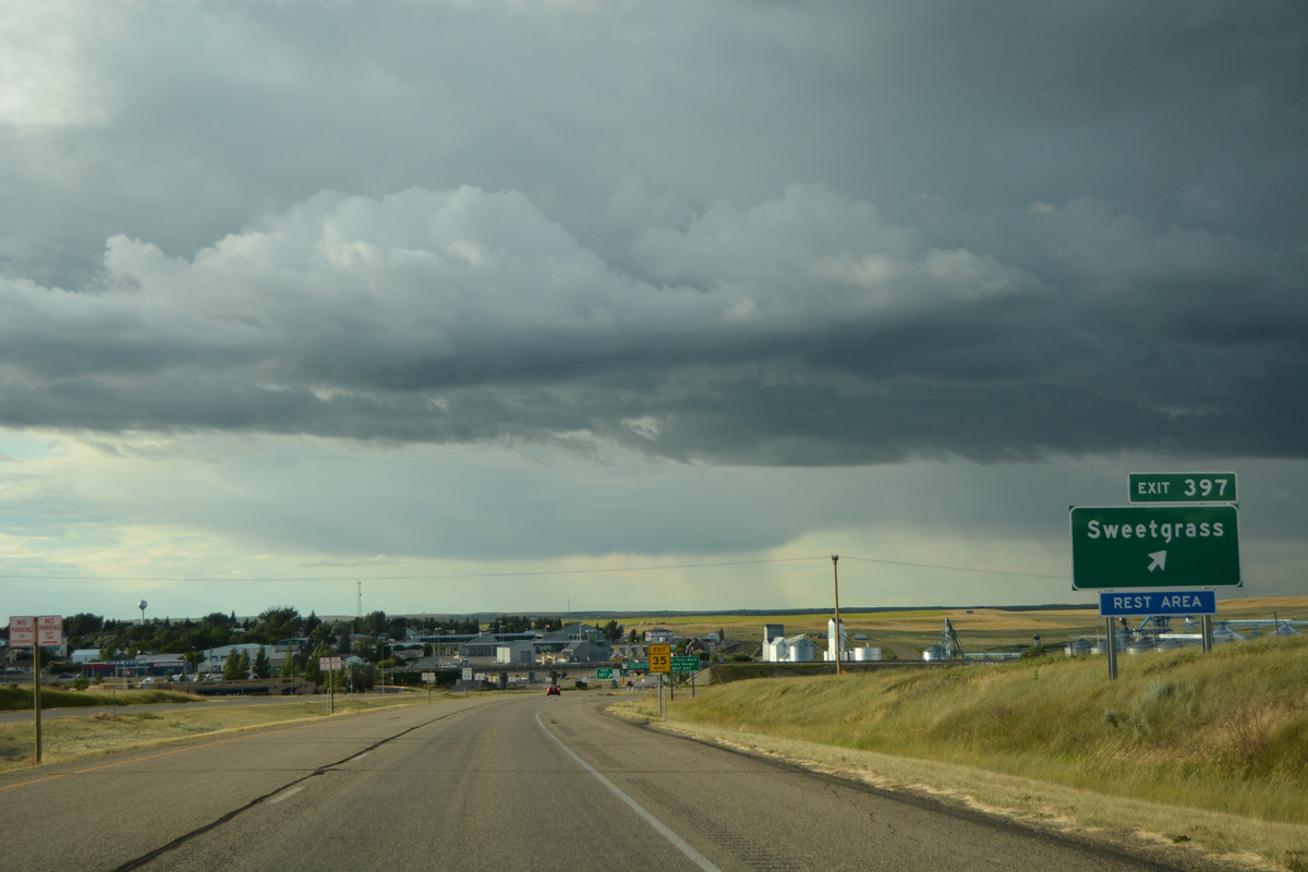
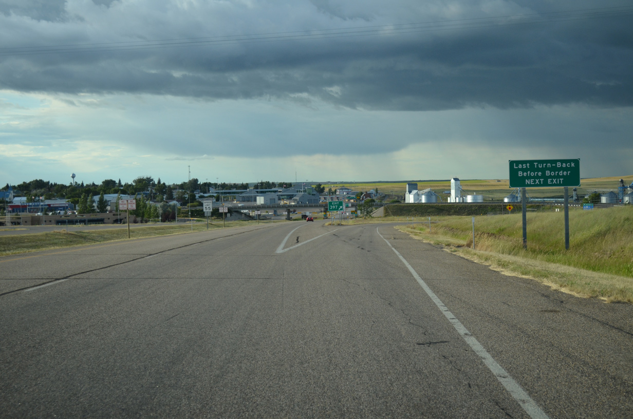
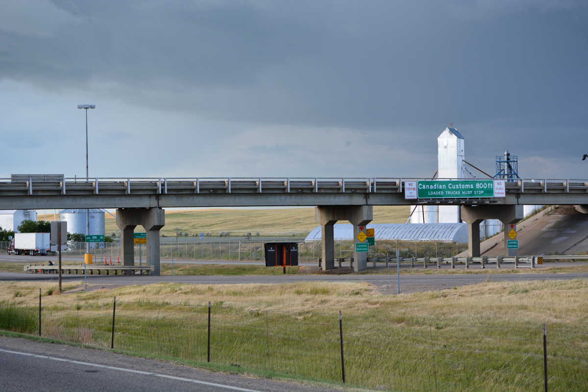
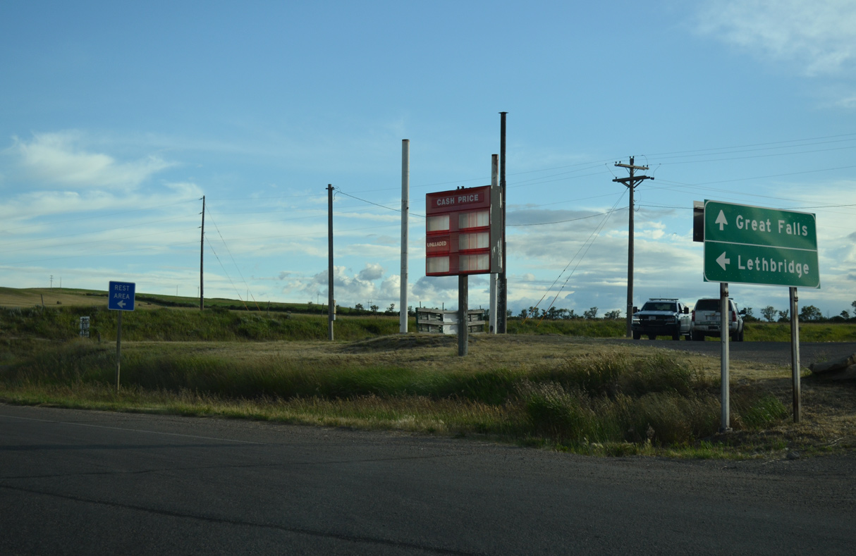
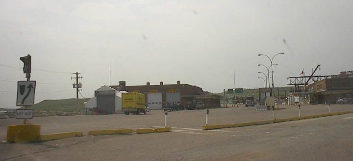
The final exit from Interstate 15 north joins the freeway end with 3rd Avenue in Sweetgrass. 07/06/16
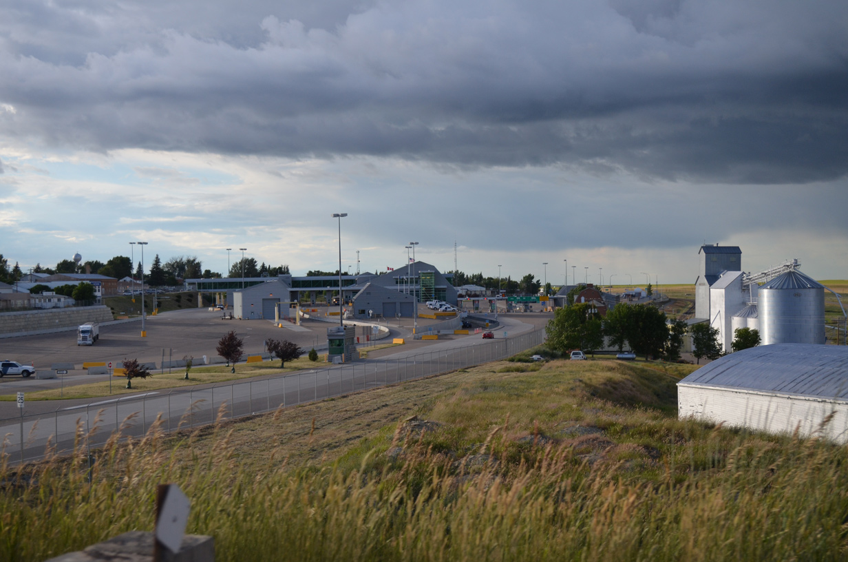
3rd Avenue – East at
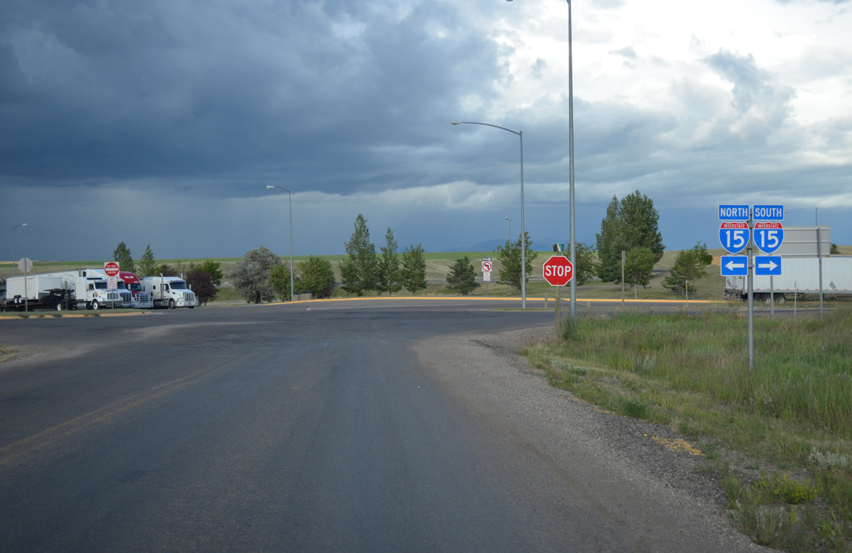
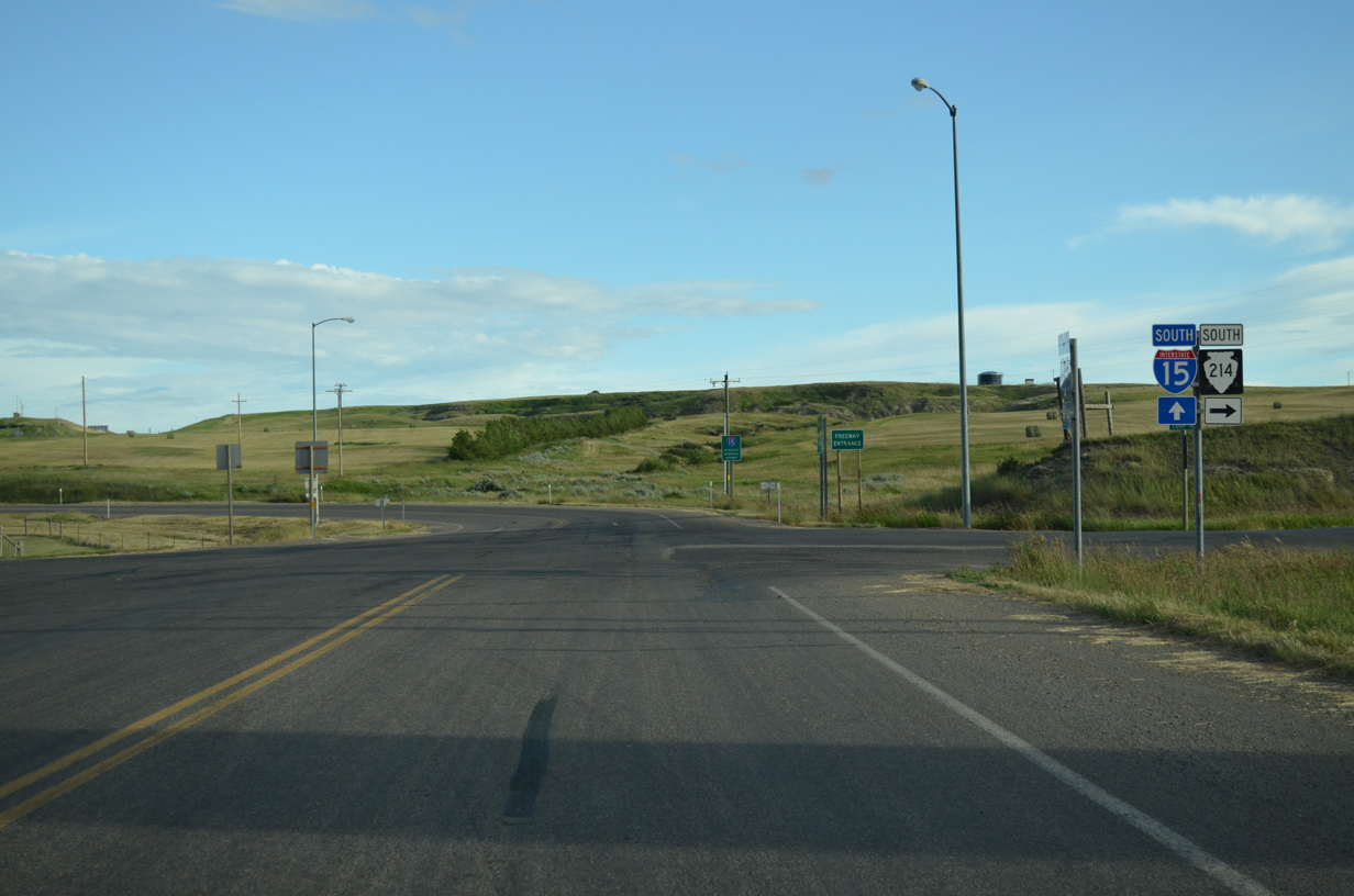
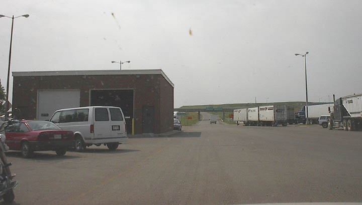
3rd Avenue connects Loop Road (S-214) with 2nd Avenue and the first southbound on-ramp for Interstate 15. 07/06/16
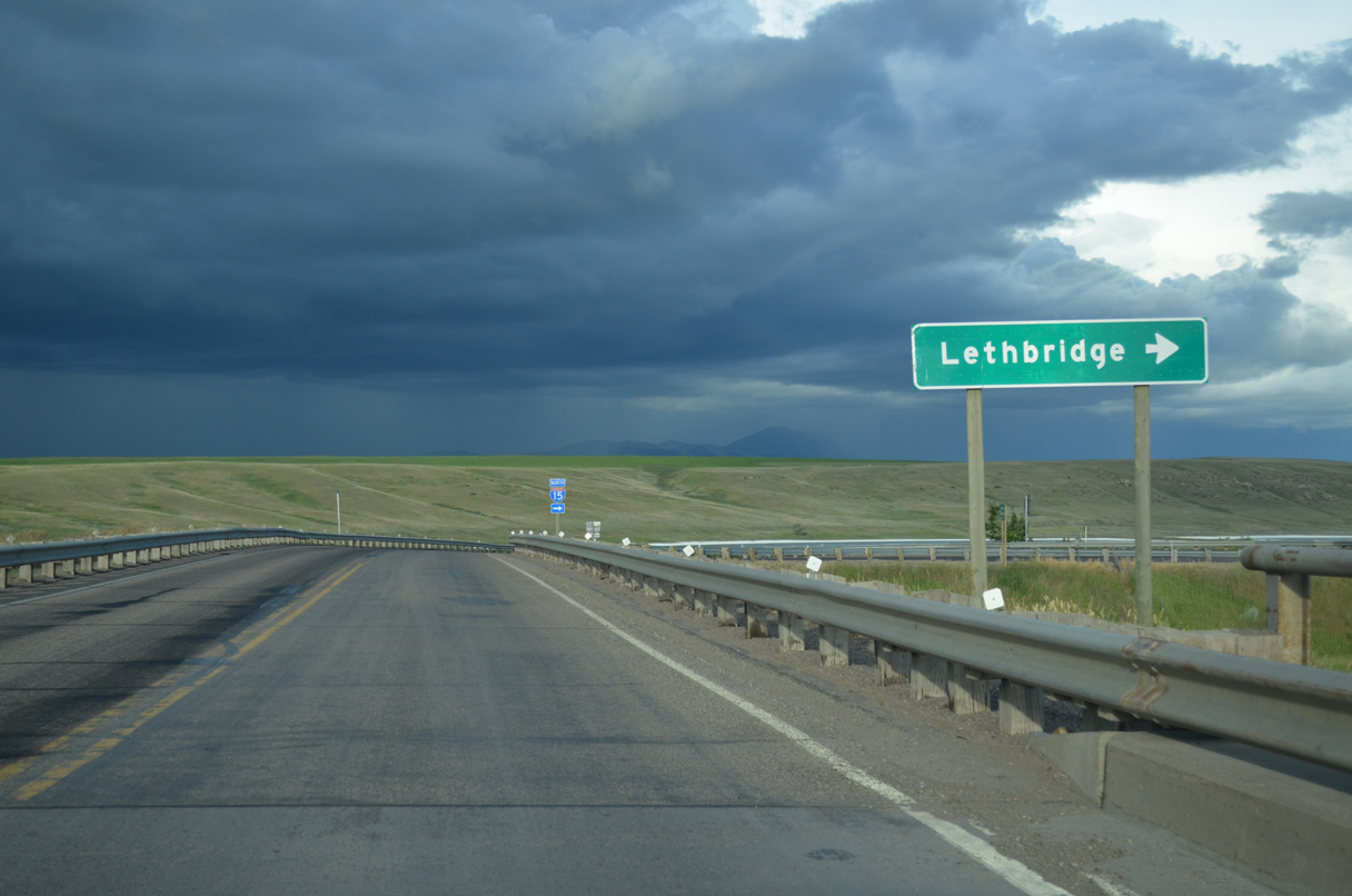
3rd Avenue – West at
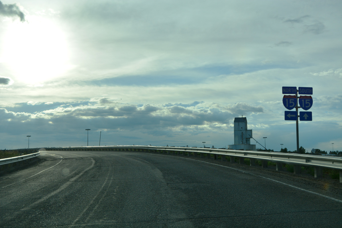
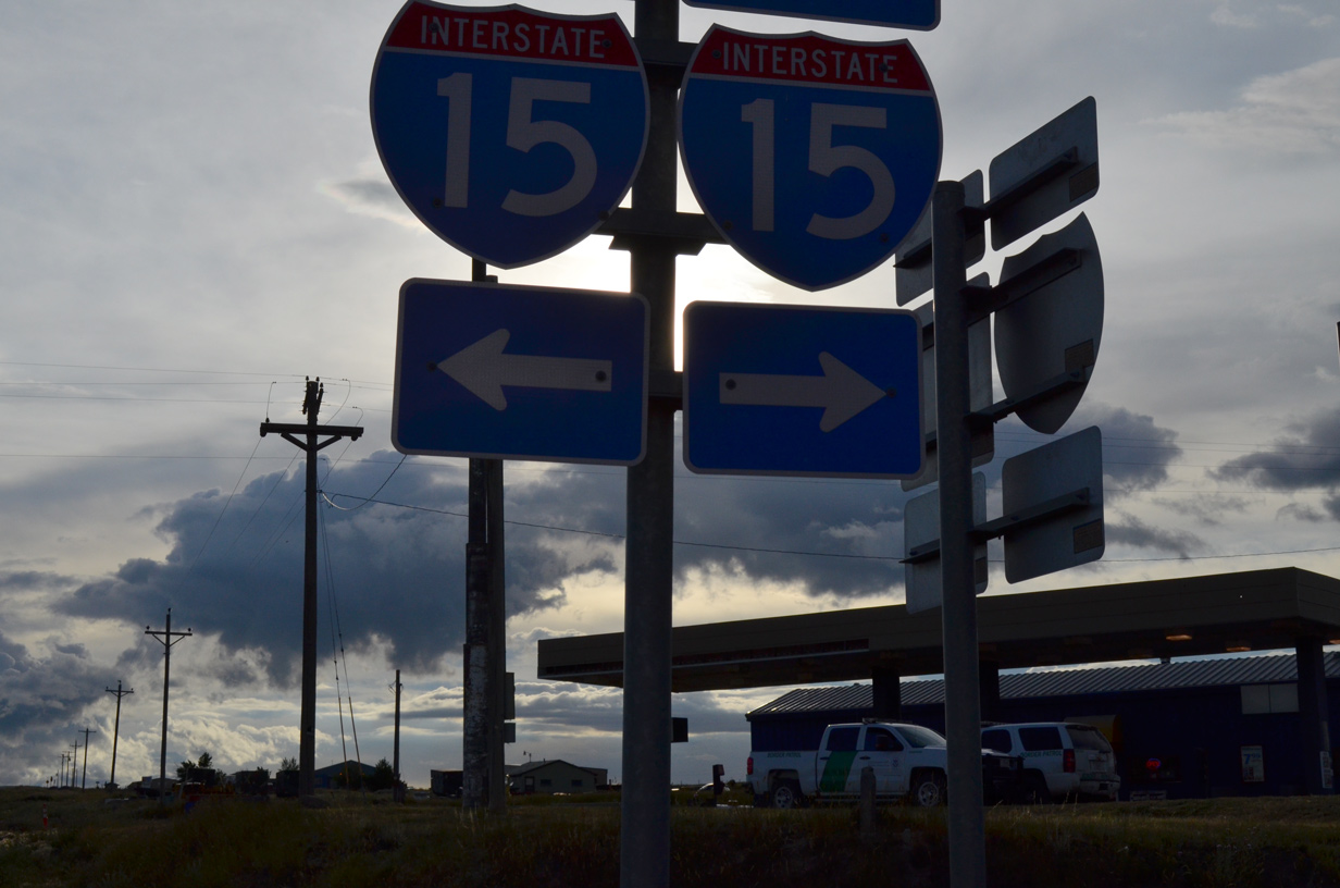
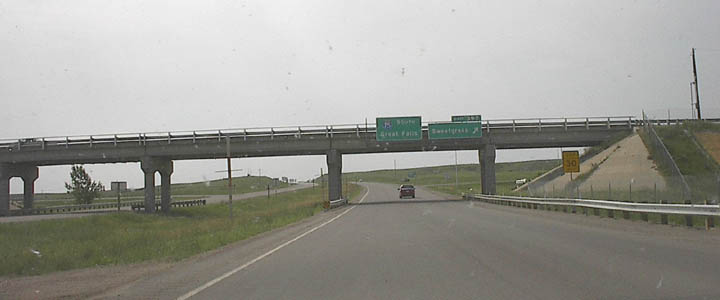
The entrance ramp from 3rd Avenue west to the port of entry is signed as Interstate 15, despite the freeway ending below the overpass. 07/06/16
South
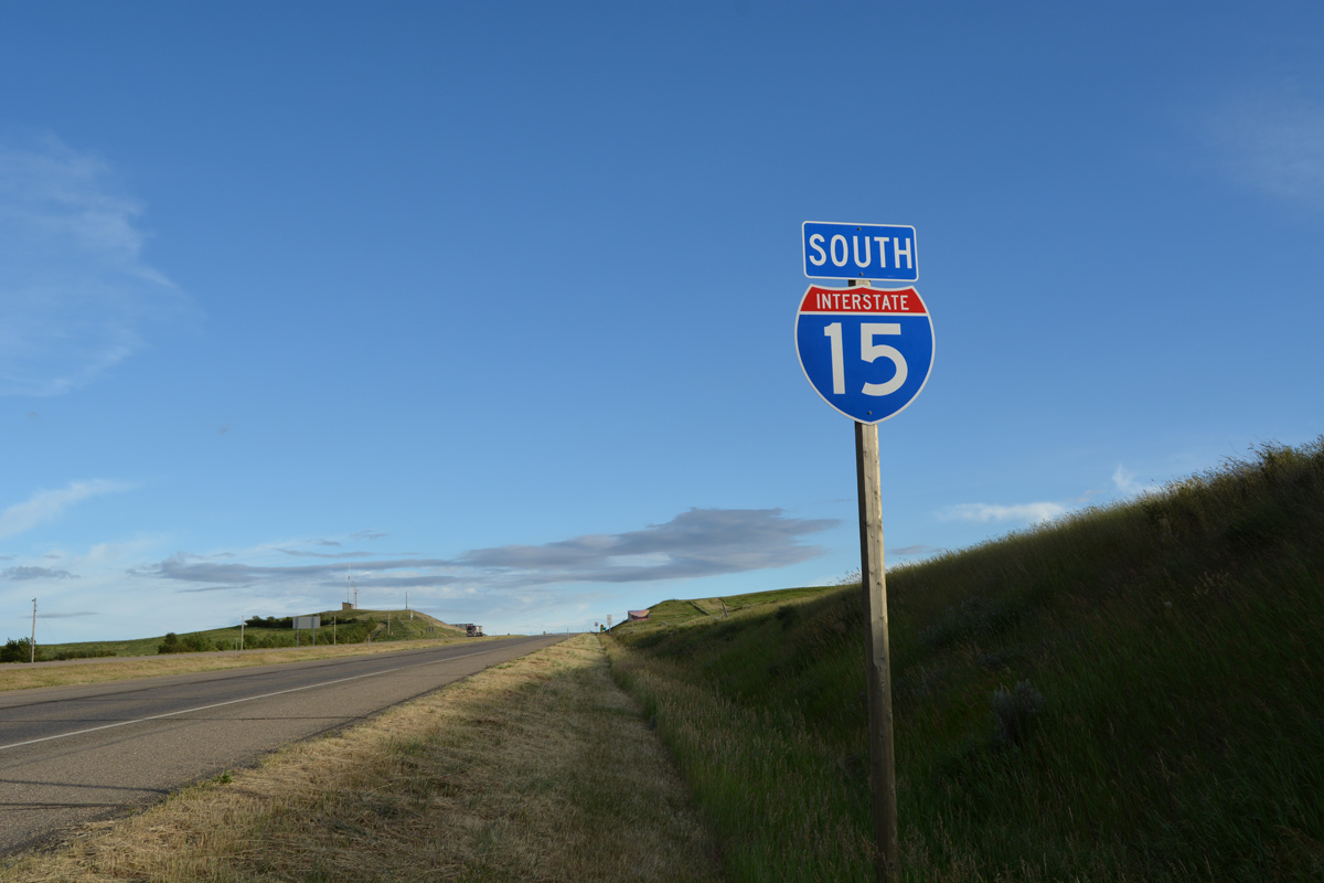
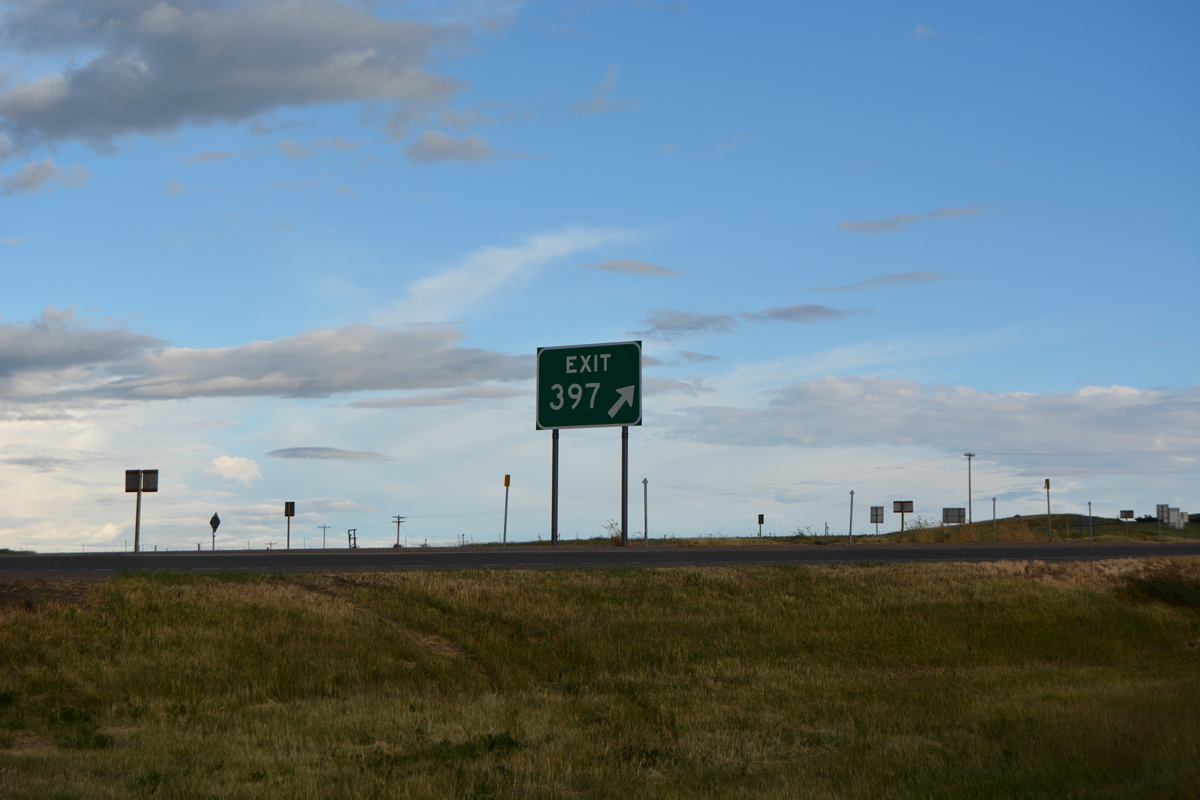
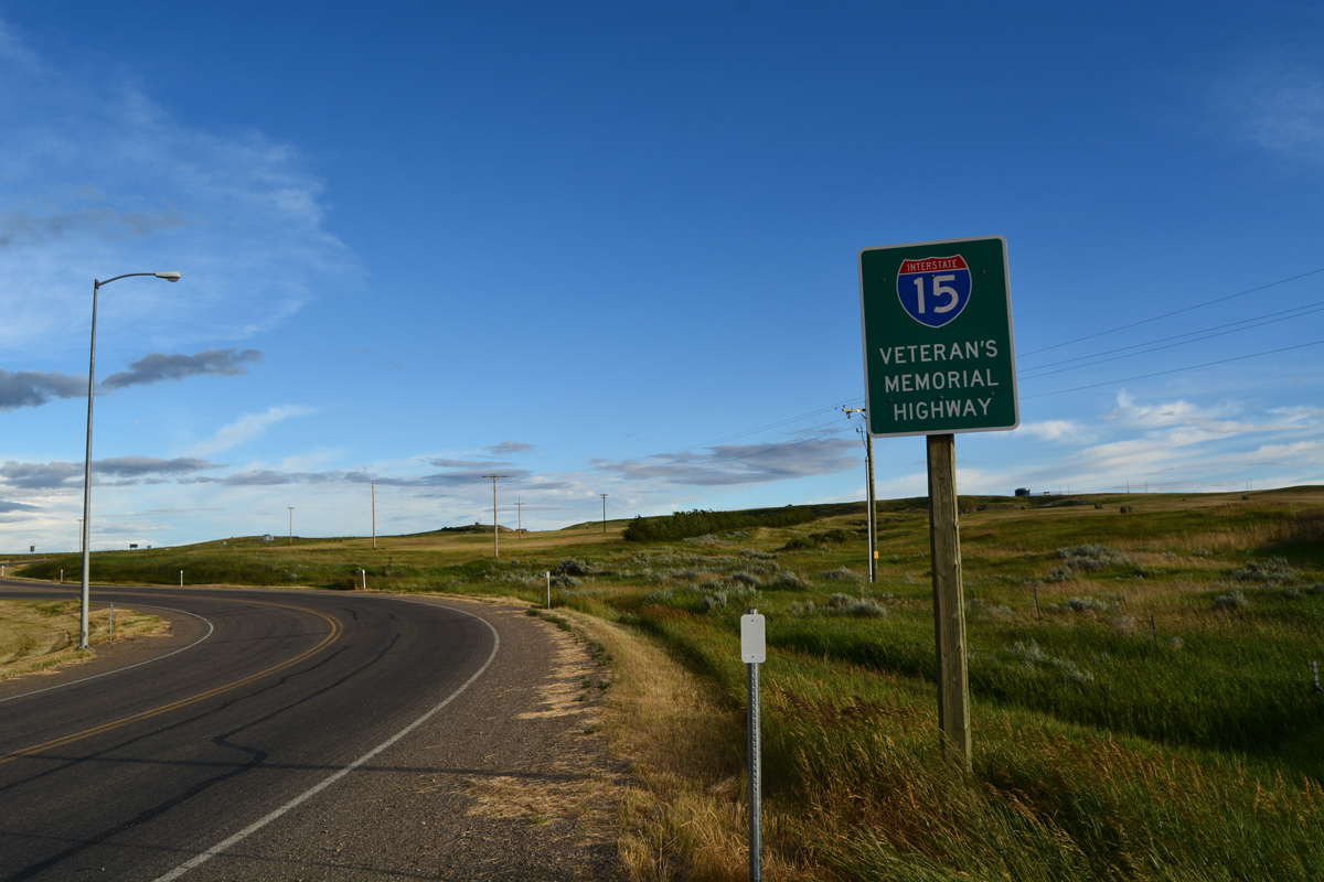
Climbing onto a hill south from Sweetgrass, travelers pass by the first confirming marker for Interstate 15. Beyond the succeeding exit at Sunburst, the freeway is devoid of traveler services to Shelby, 34 miles to the south. 07/16/16
South End  ‐ San Diego (Mission Valley), CA
South at
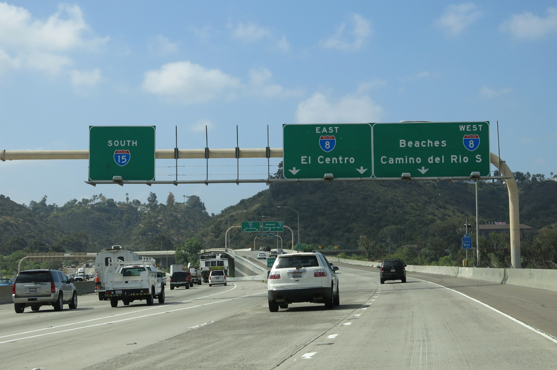
Spanning the San Diego River, Interstate 15 south ends and SR 15 begins as Exit 6B departs for I-8. Interstate 8 travels west from Mission Valley to end at Mission Valley Park near Ocean Beach and east to La Mesa, El Cajon and Alpine. 05/24/13
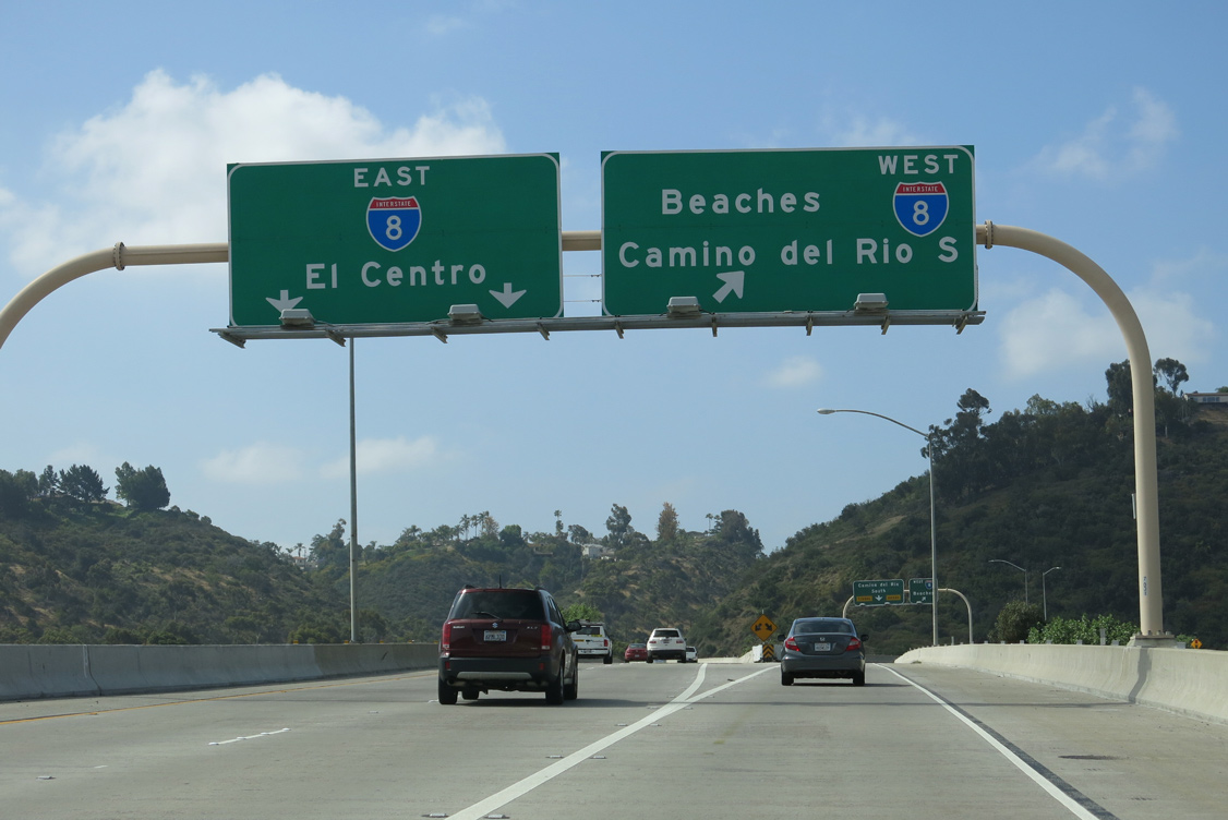
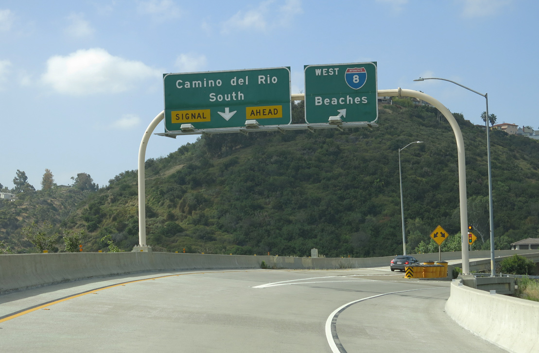
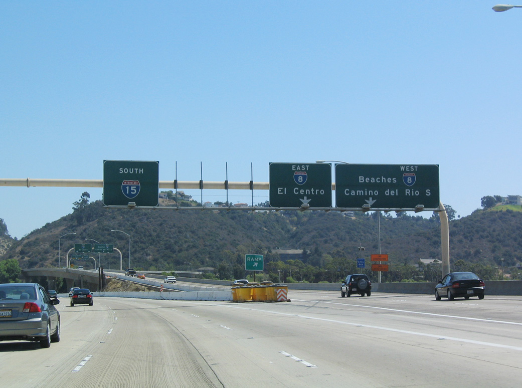
East at
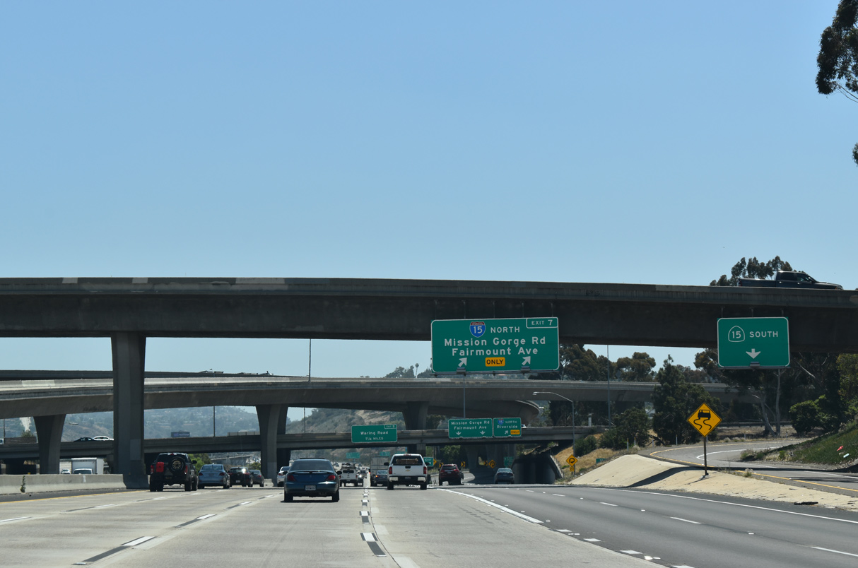
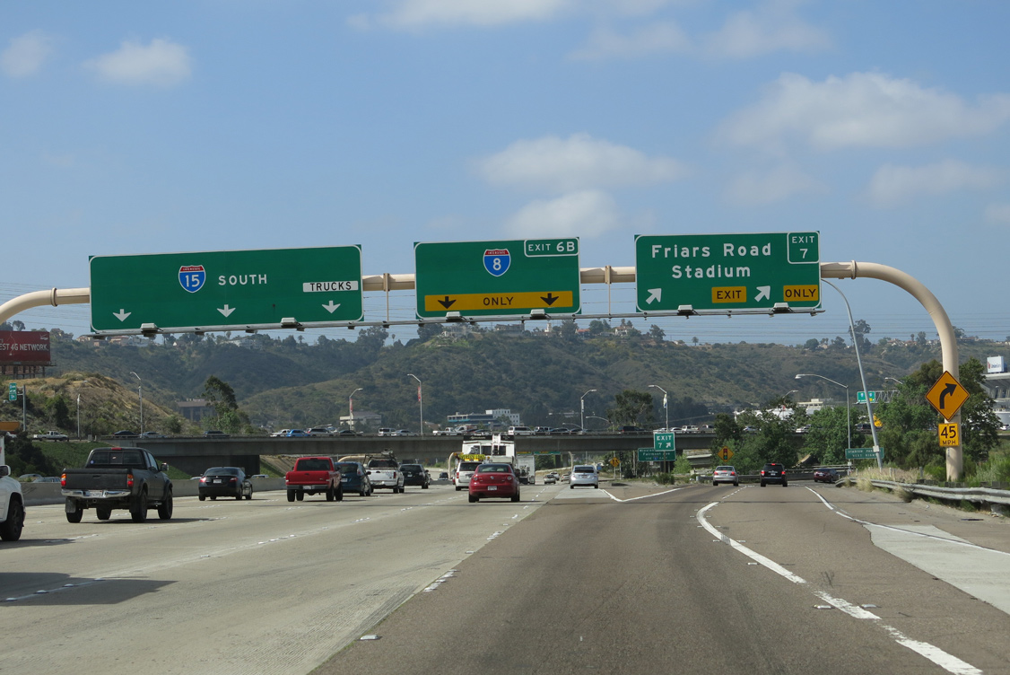
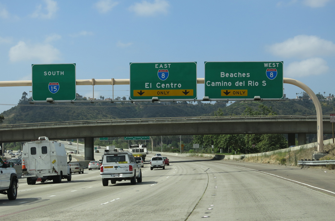
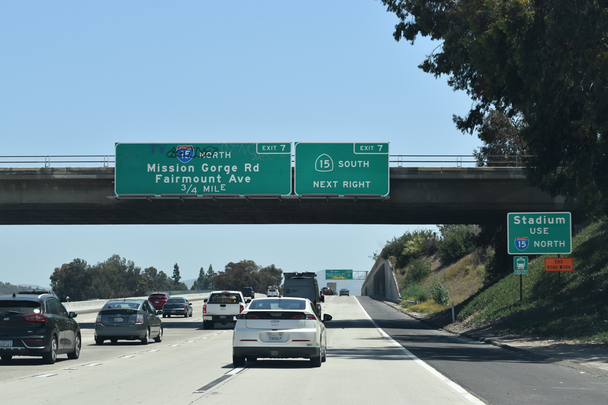
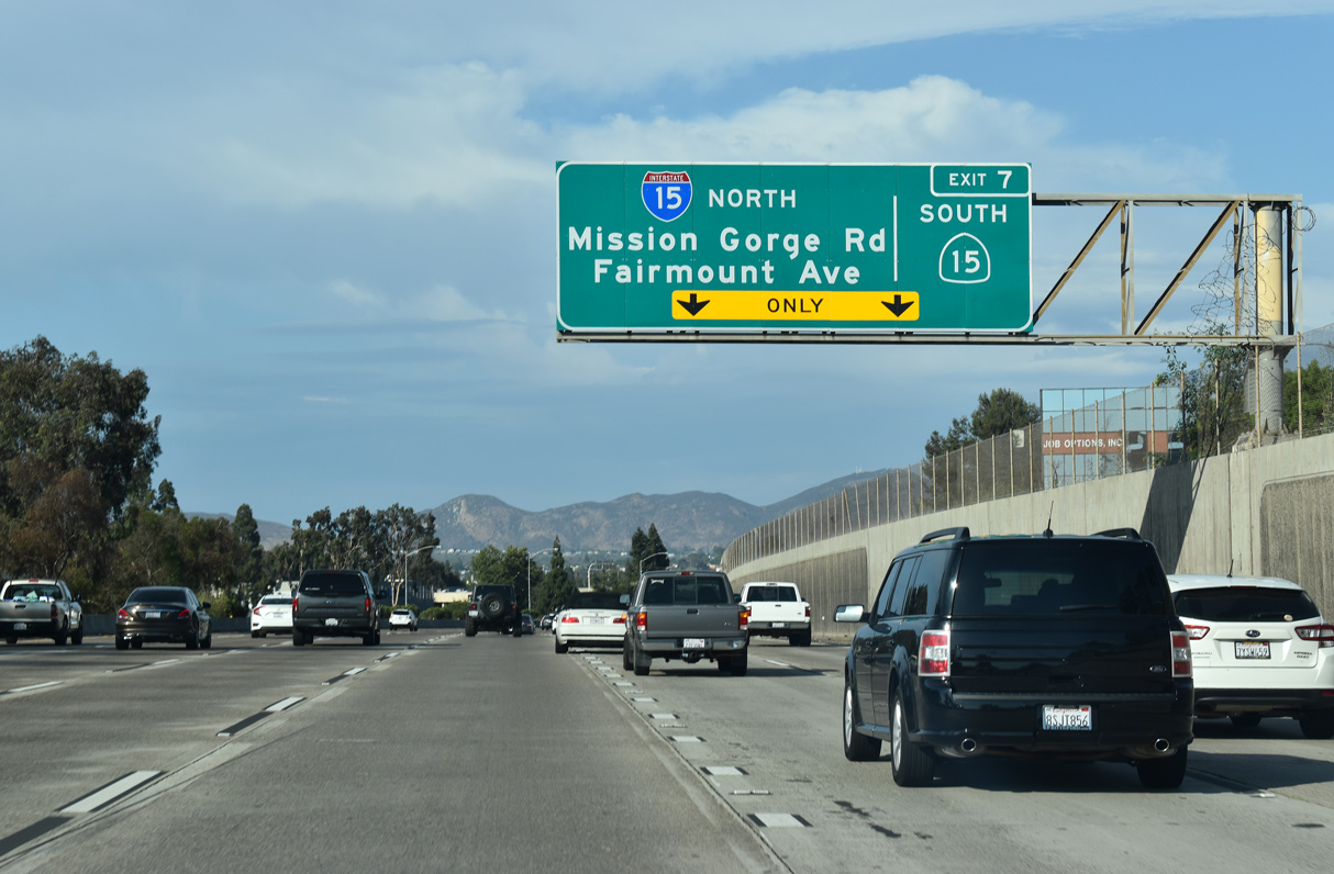
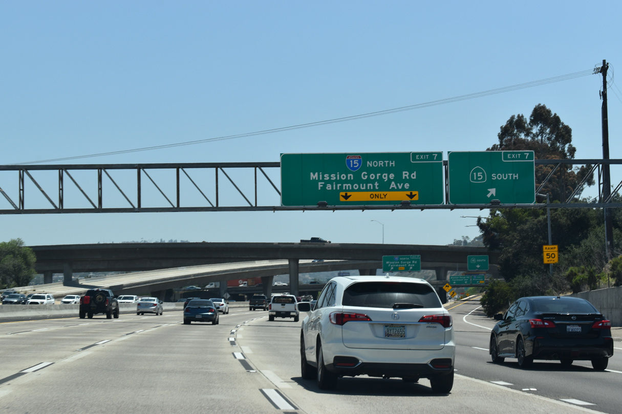
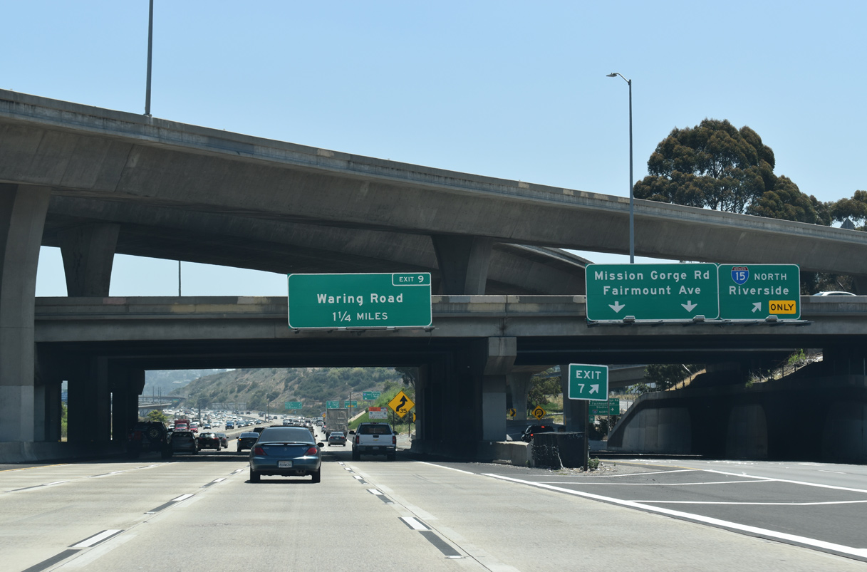
The succeeding exit along I-8 east is the two pronged ramp for I-15 north and Fairmount Avenue. 05/28/21
West at
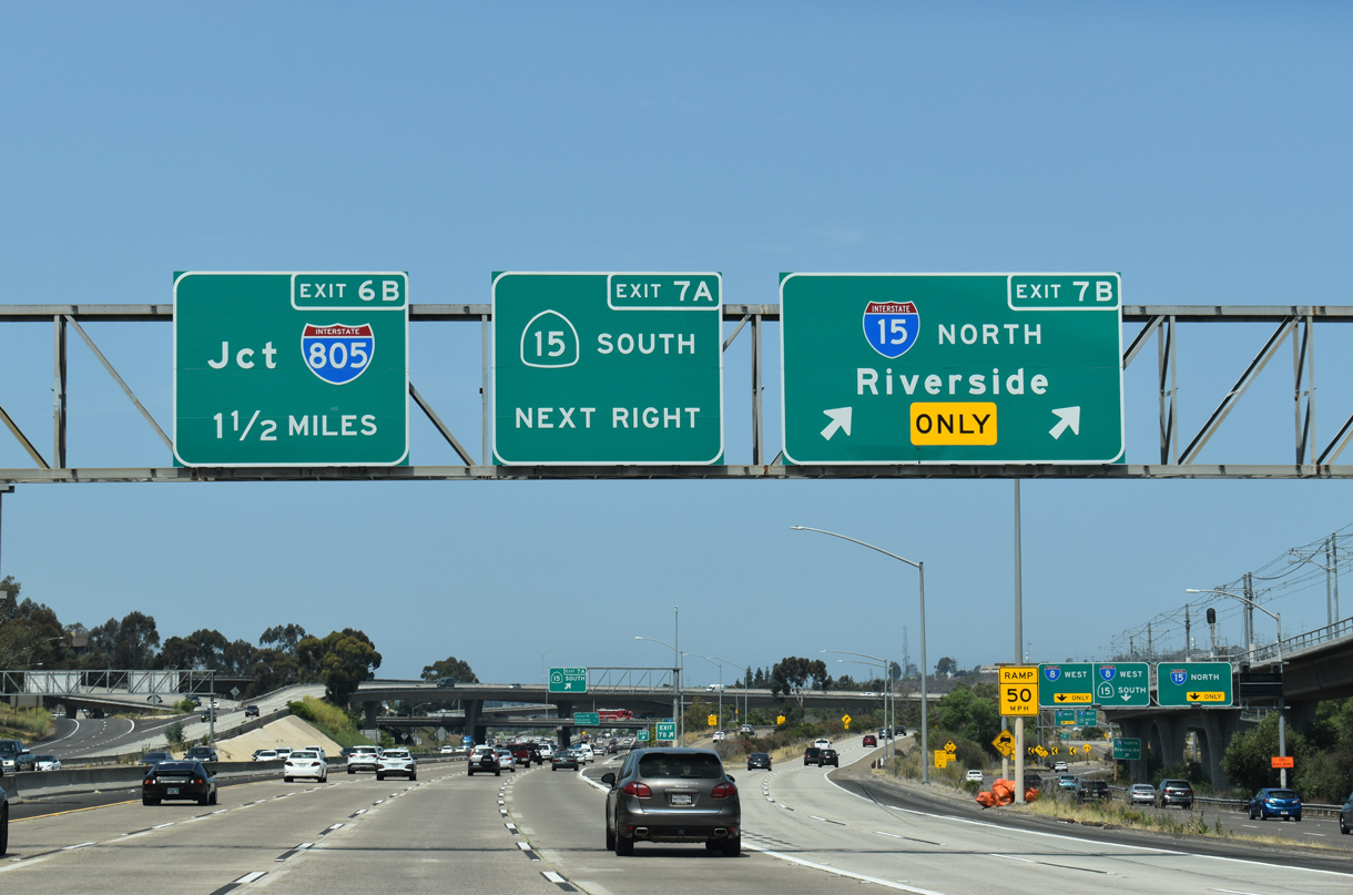
Exit 7B departs from I-8 west to Interstate 15 for the northern reaches of San Diego, Escondido, Temecula, and Riverside / San Bernardino Counties. A loop ramp (Exit 7A) follows for SR 15 south to Mid-City San Diego. 07/17/21
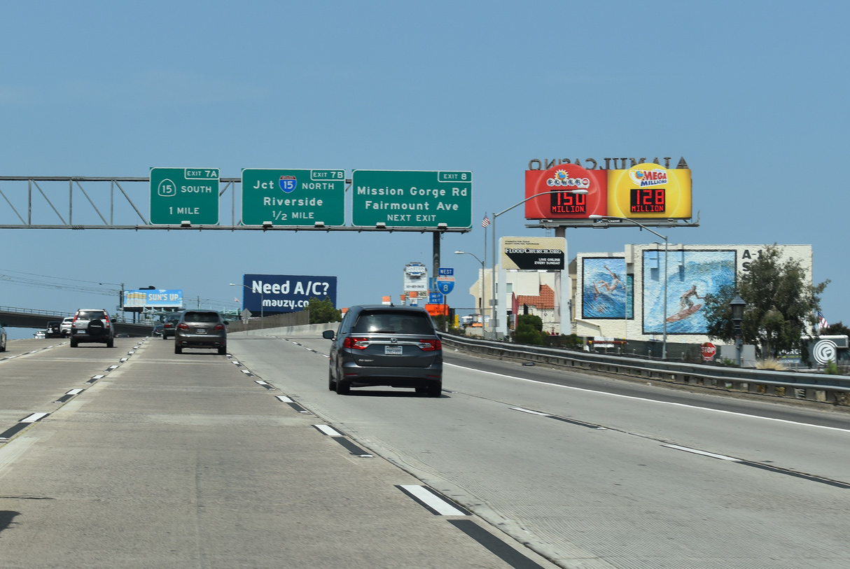
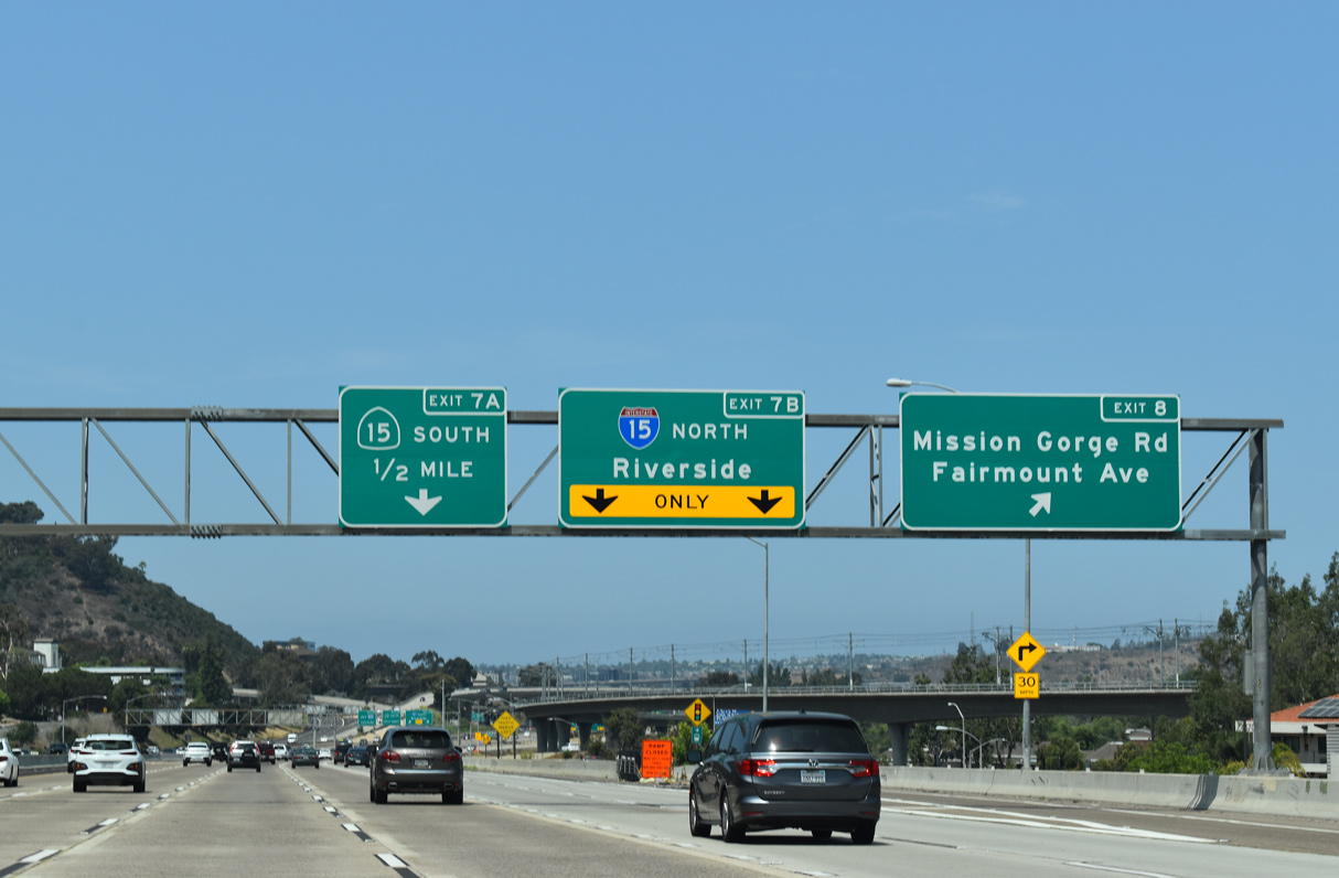
 North at
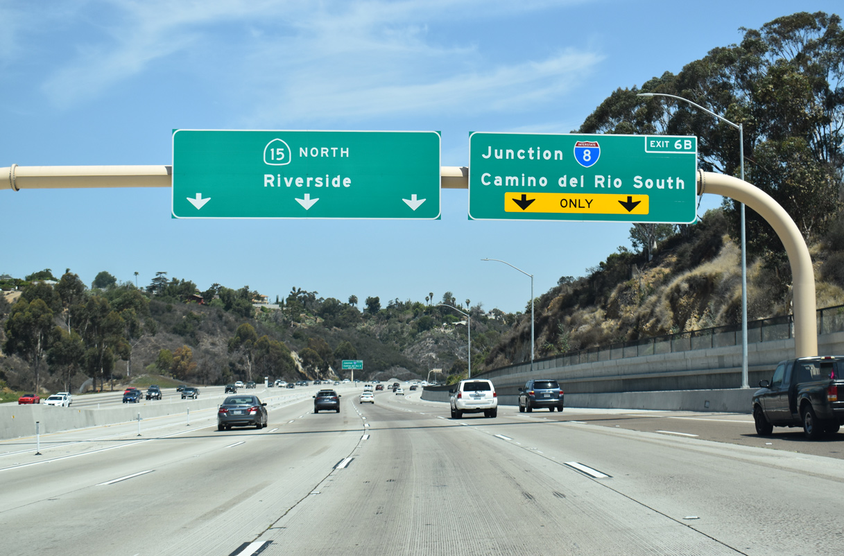
Interstate 8 heads toward the eastern end of the city of San Diego, as well as the suburbs of La Mesa and El Cajon. Leading west, I-8 enters Mission Valley, then follows the San Diego River until it ends in Mission Bay Park at Sunset Cliffs and Nimitz Boulevards. 07/08/18
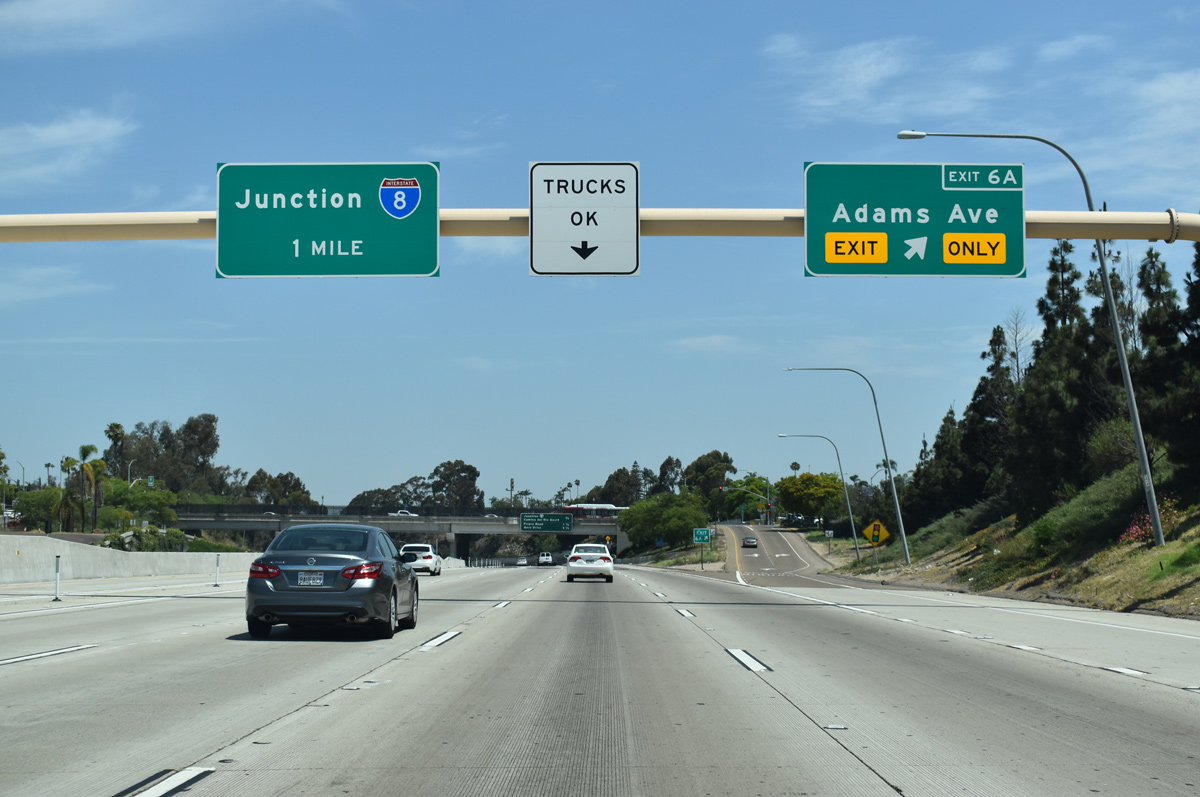
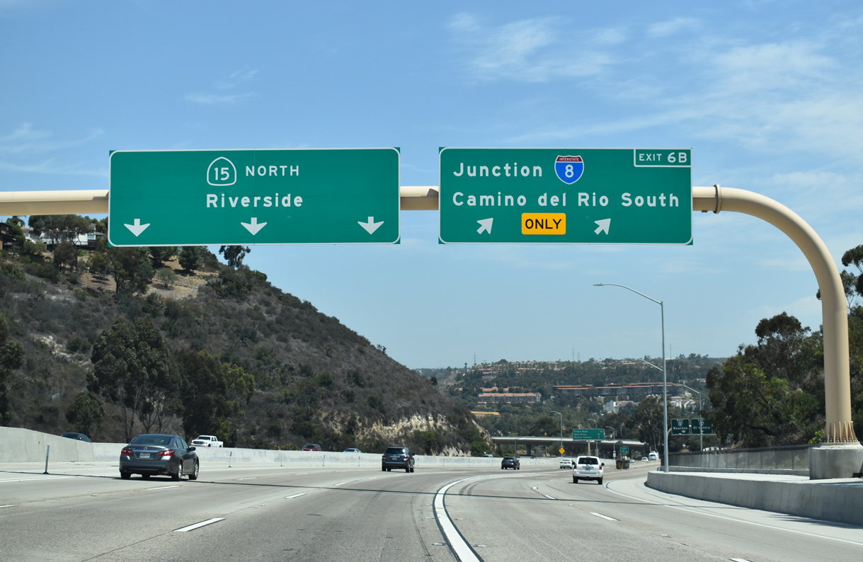
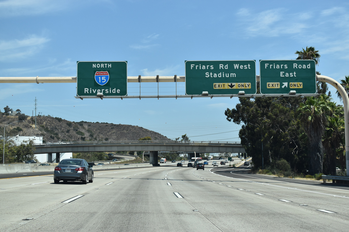
South End – Past Views ‐ San Diego (Mission Valley), CA
Past Views Gallery (Tap to Expand / Collapse Section)
North at
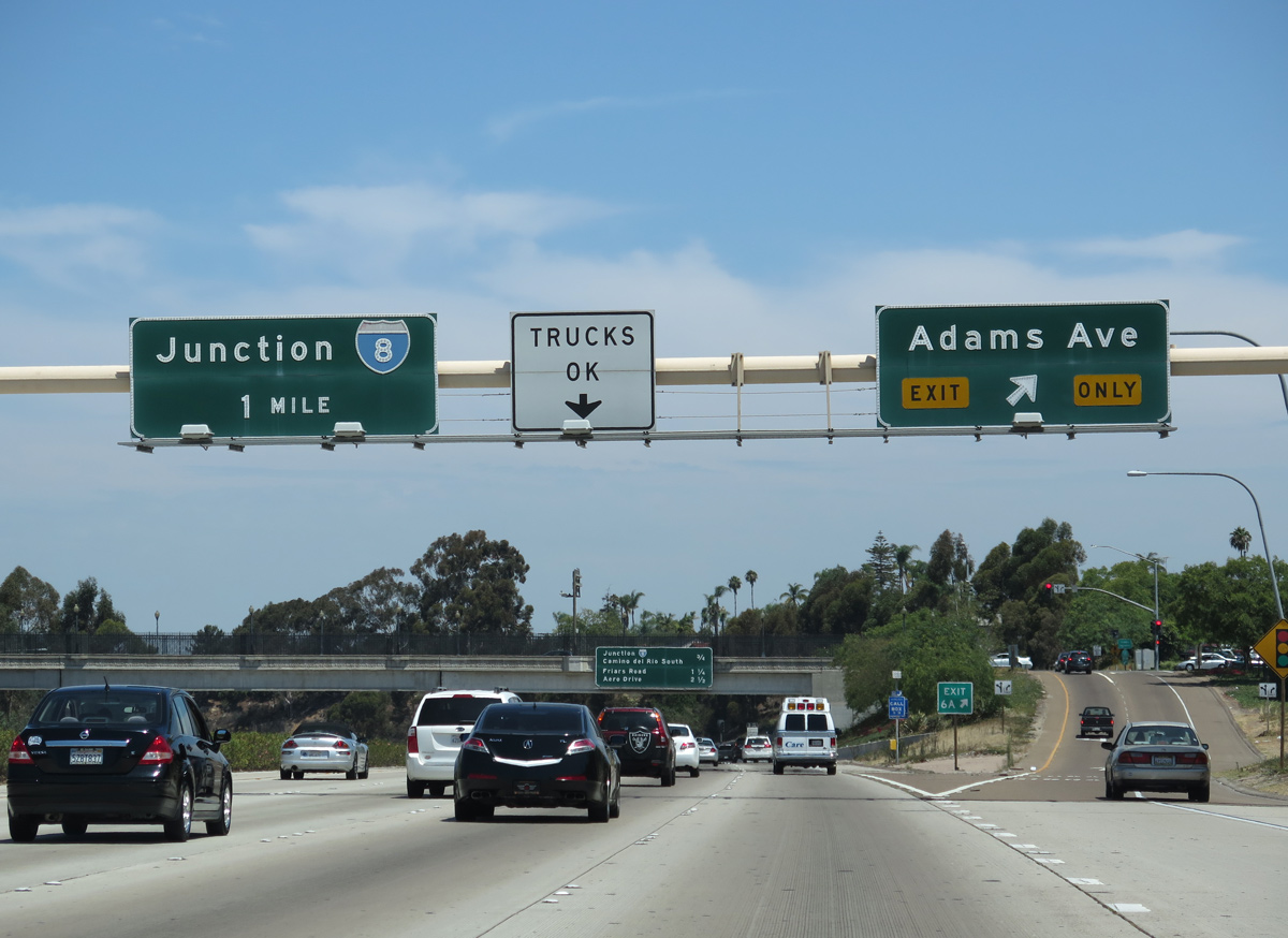
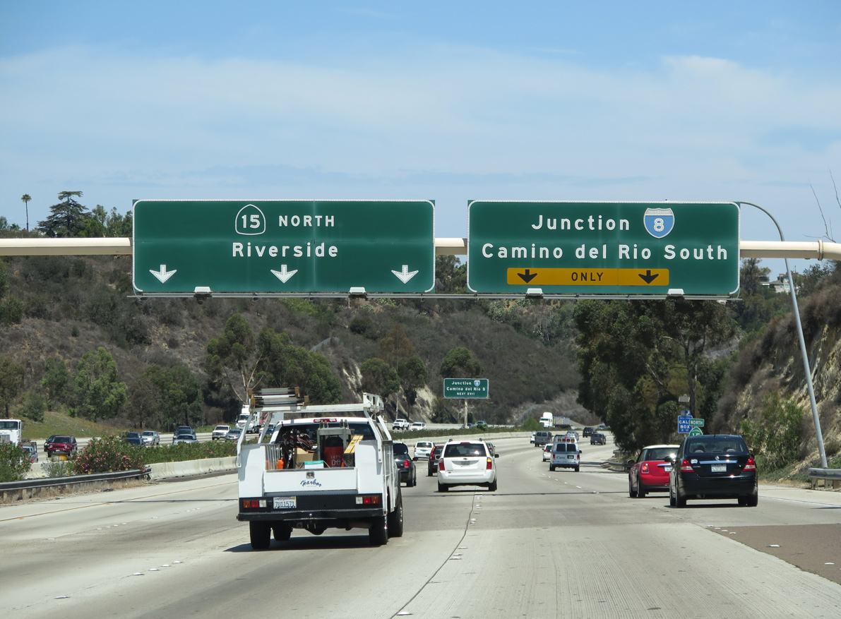
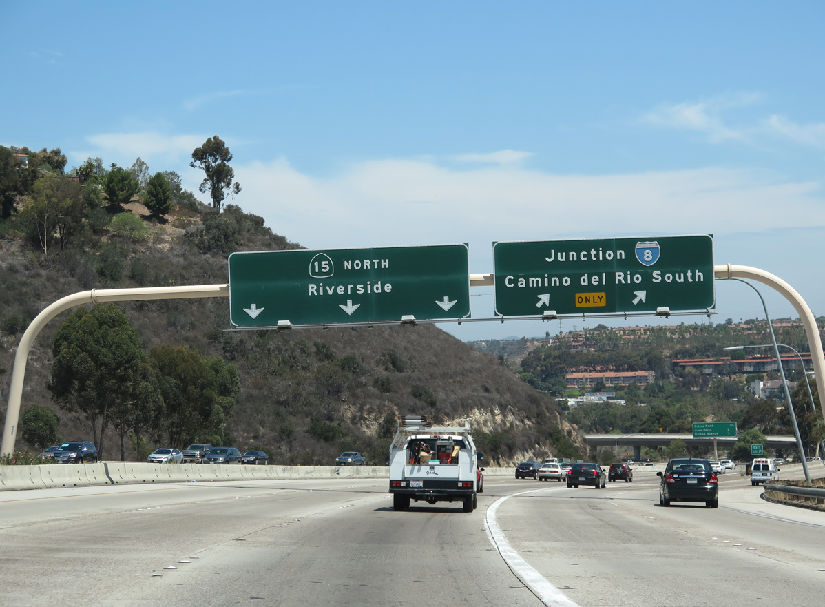
Button copy guide signs along California State Route 15 north leading to the exchange with I-8 and I-15 were replaced as a result of 2015-17 construction to add bus lanes along the freeway median. 07/28/14
East at
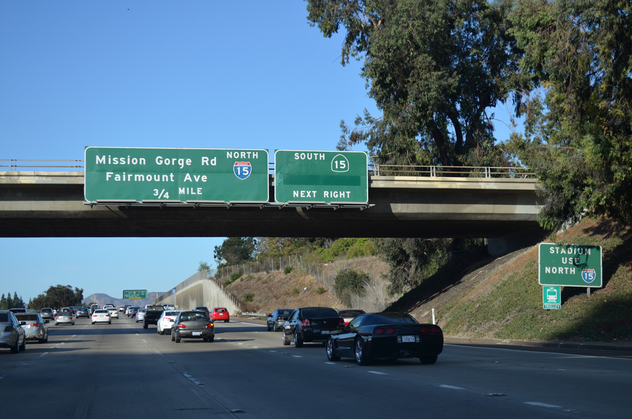
All button copy guide signs for I-15/SR 15 along Interstate 8 eastbound were replaced with reflectorized signs referencing Exit 7 by 2020. 07/18/14
West at
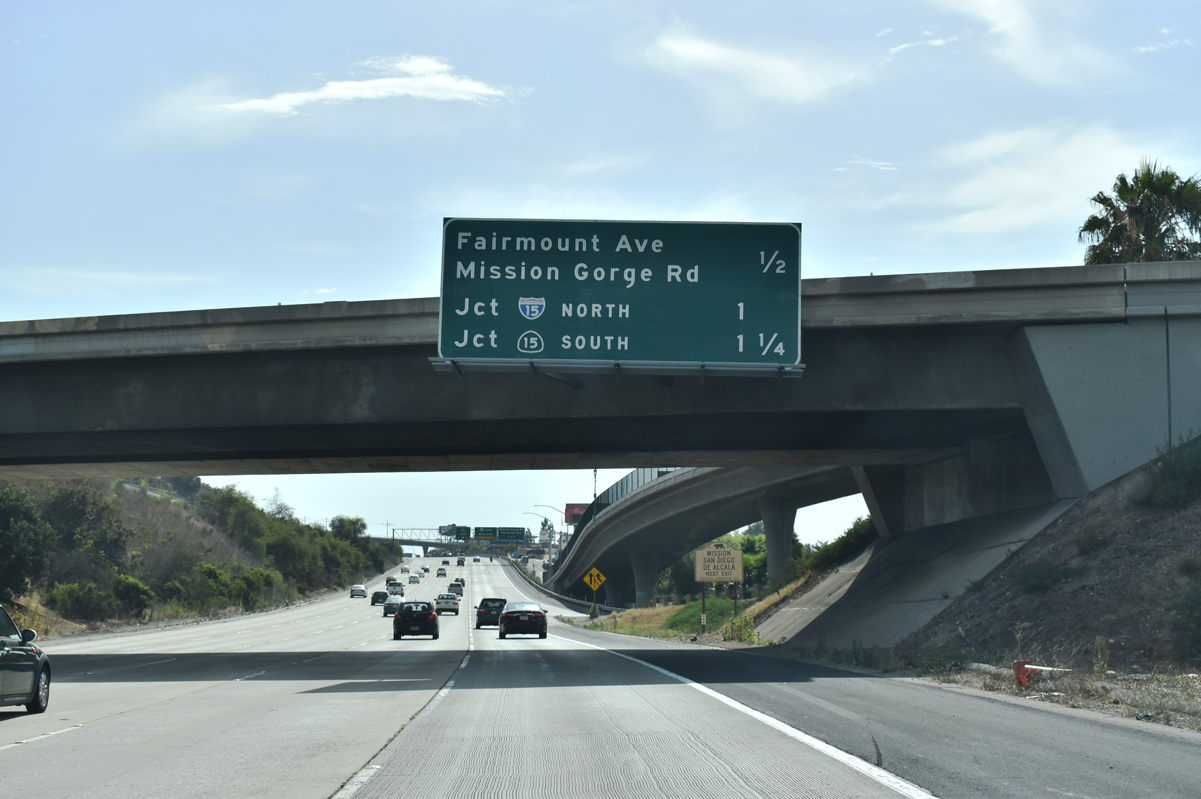
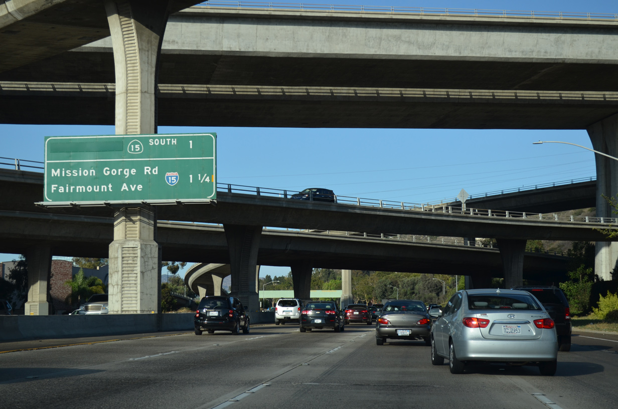
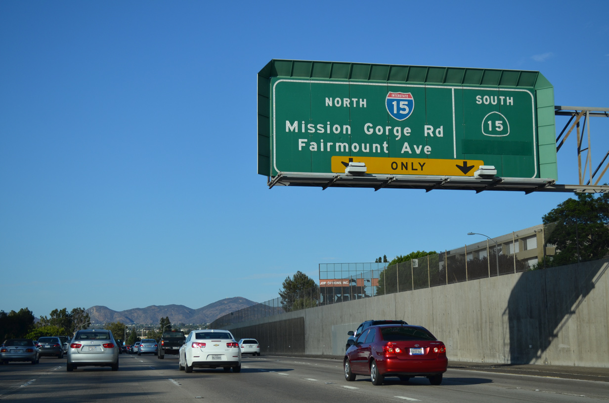
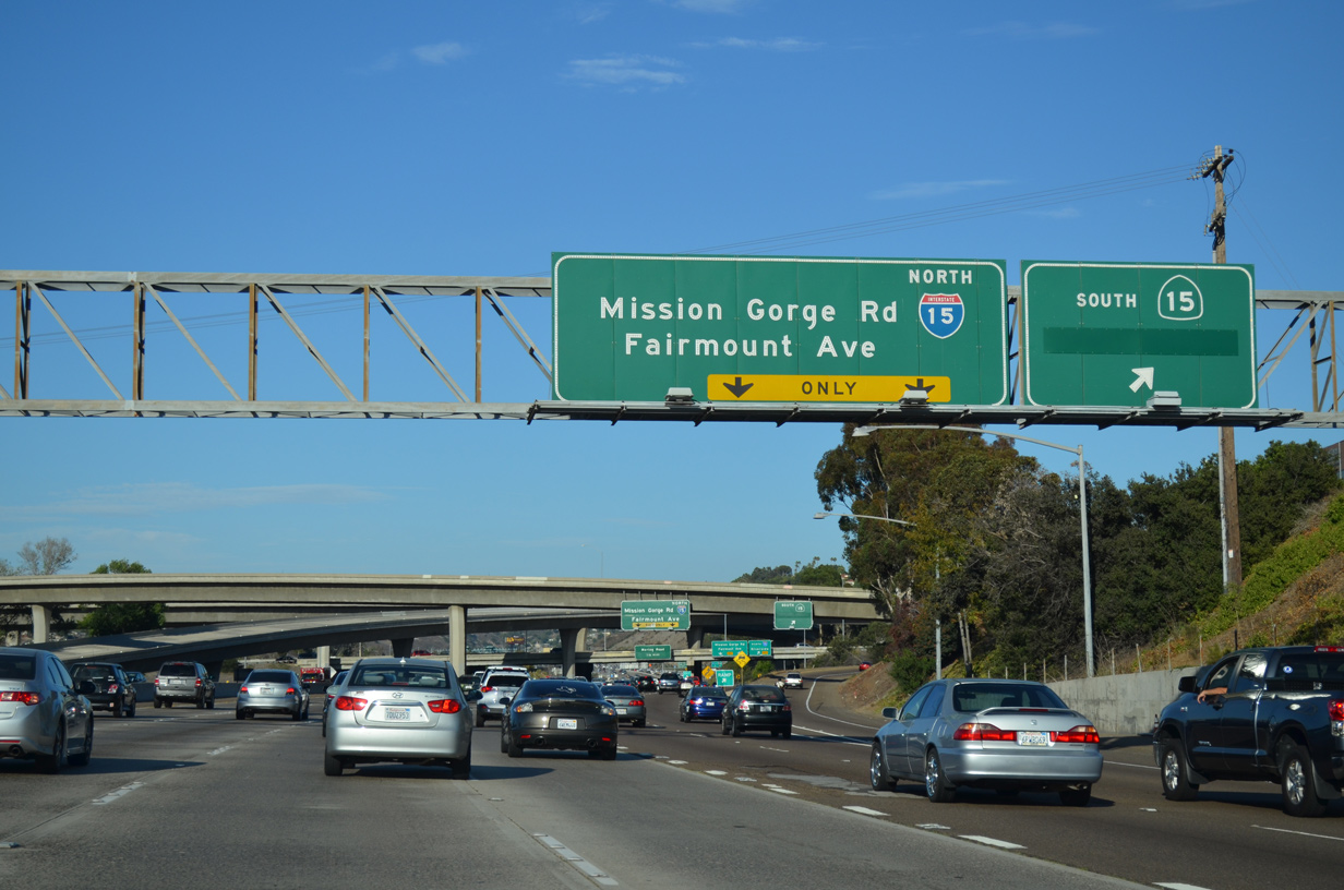
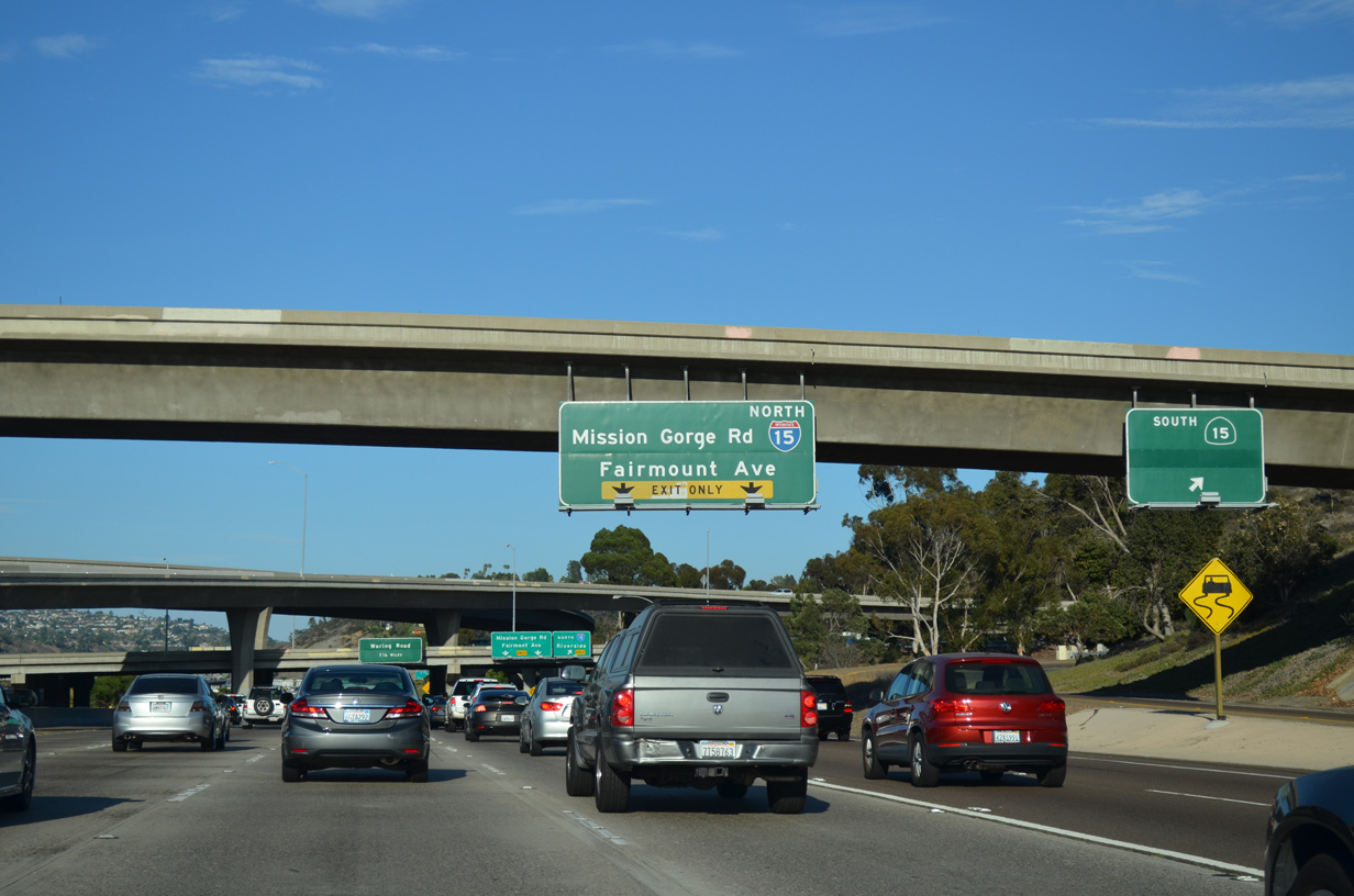
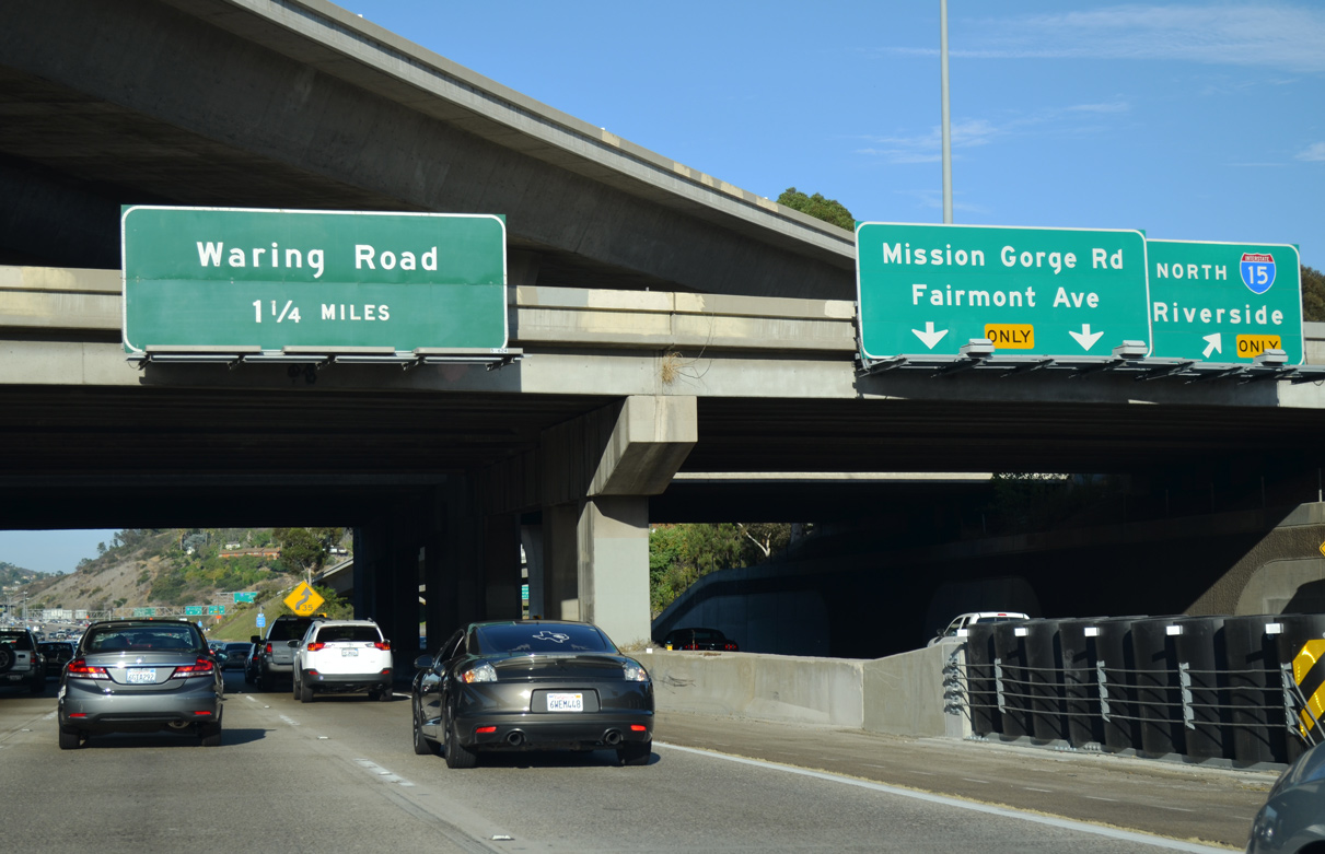
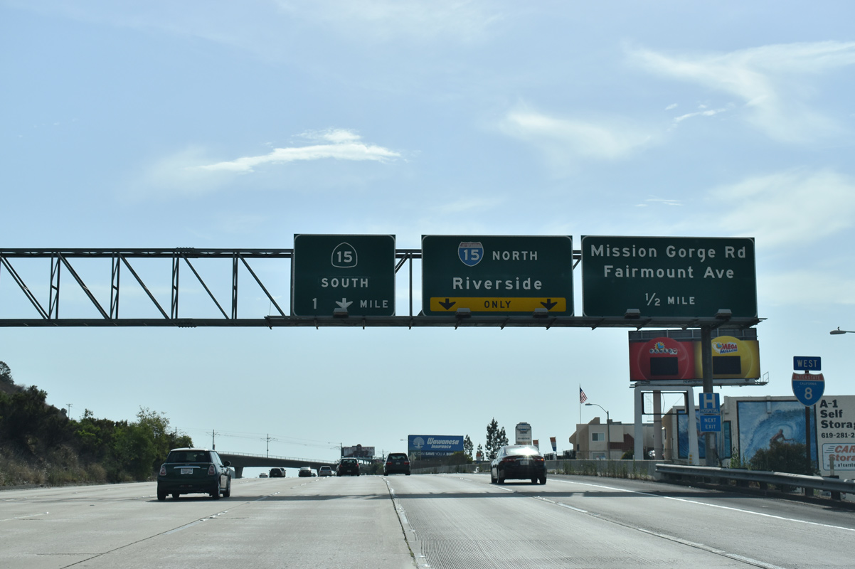
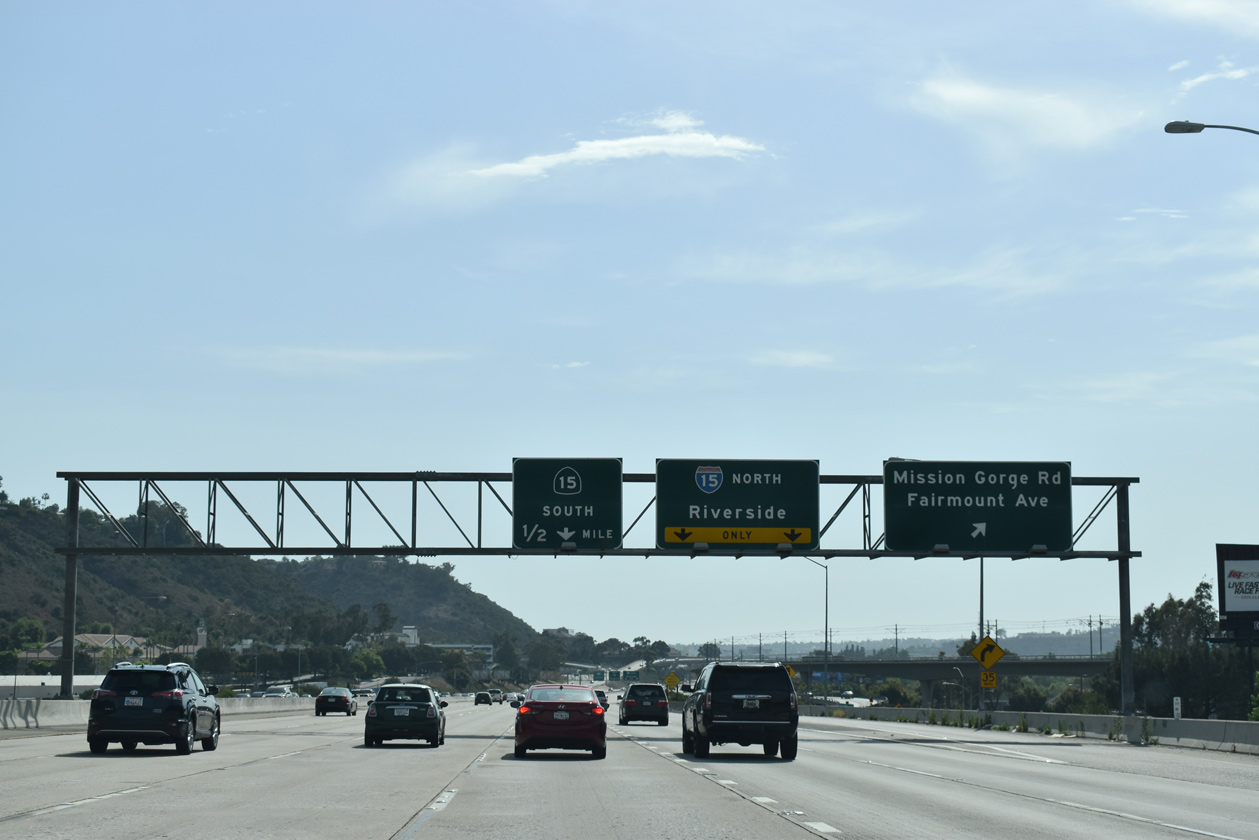
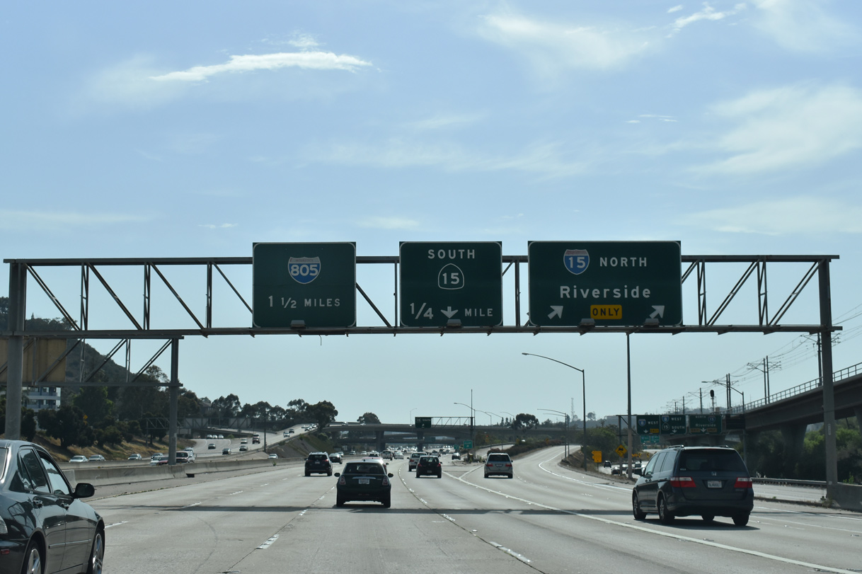
The interchange sequence sign at the Waring Road was installed in 1998 following reconstruction of the SR 15 ramp to eliminate a blind merge. It was one of the last non-reflective, button-copy signs to be placed on a California freeway. Beyond the overpass is the Alvarado Canyon Road flyover leading west to Mission Gorge Road. This ramp was a mitigation measure built in 2001 as part of the trolley construction process. 07/07/18
South End / 32nd Street ‐ San Diego, CA
Future/Proposed Alignment Gallery (Tap to Expand / Collapse Section)
South at  / Wabash Blvd
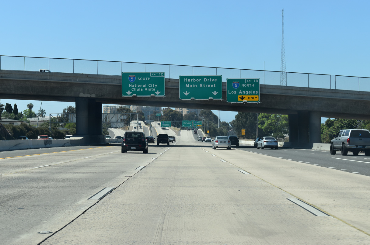
Left Exit 1C departs from the SR 15 southbound mainline for I-5 south to National City, Chula Vista and Tijuana, Mexico. 06/13/21
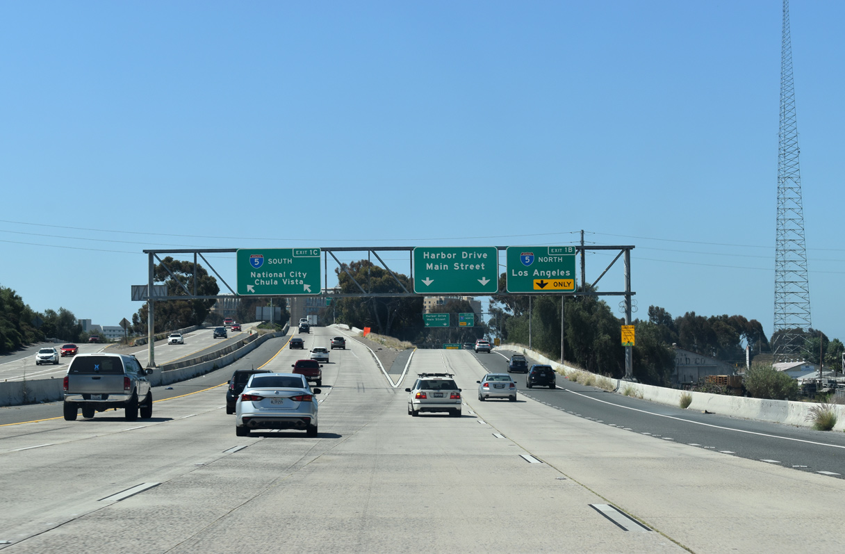
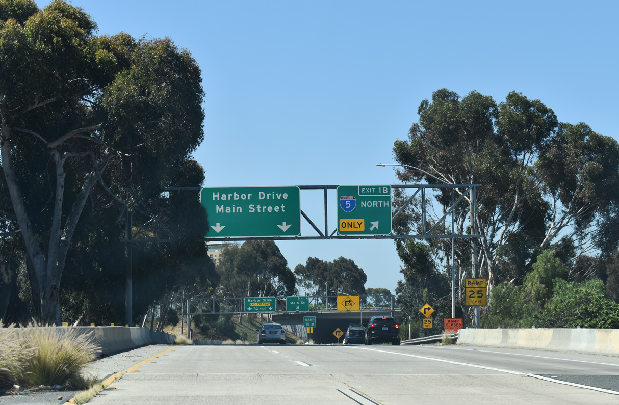
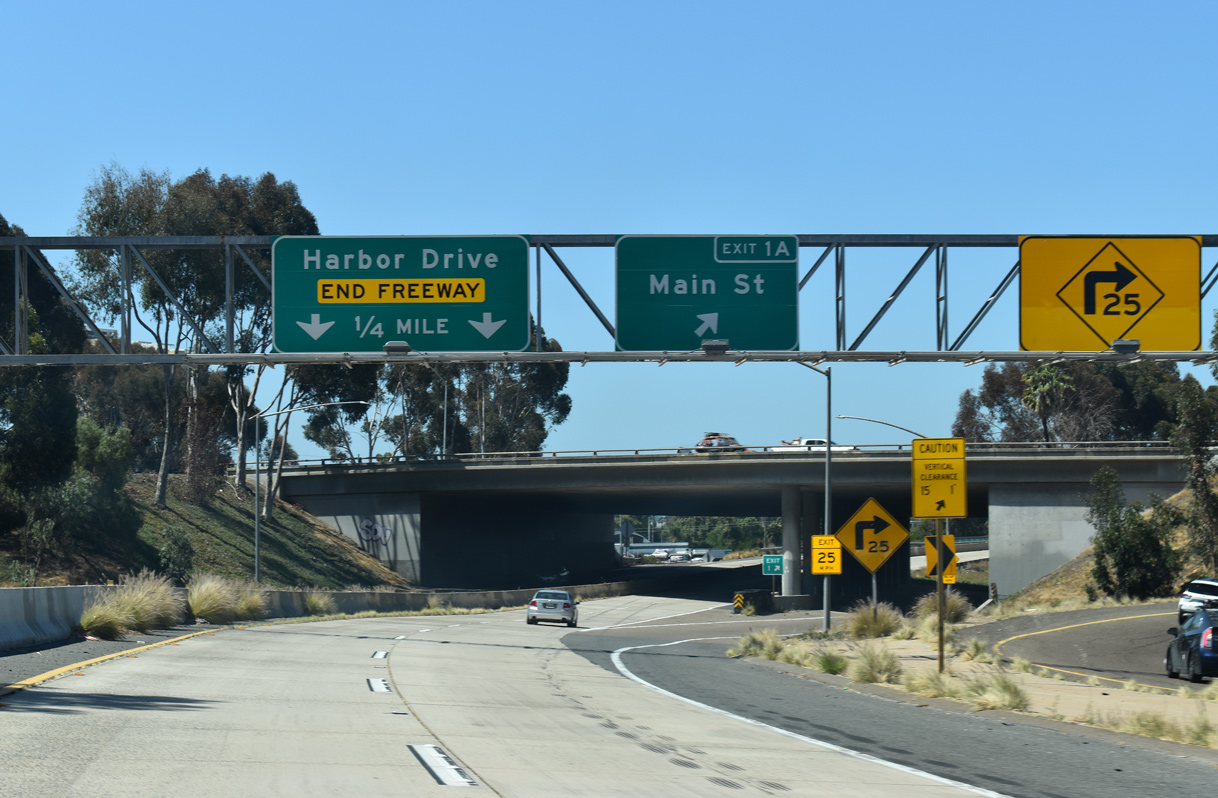
South at
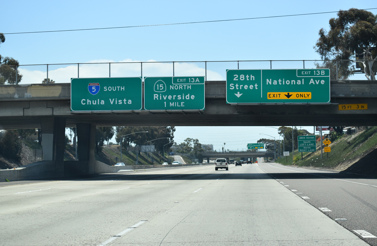
Leaving Downtown San Diego, Interstate 5 parallels San Diego Bay through a series of S-curves southeast ahead of National City. Traffic joins the freeway southbound from the Coronado Bridge on the one mile approach to SR 15. 07/08/18
North at
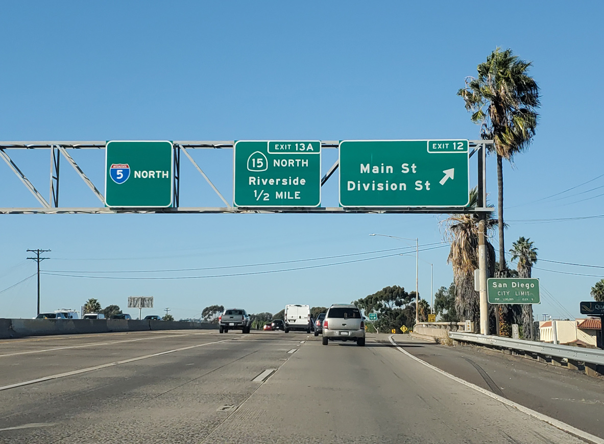
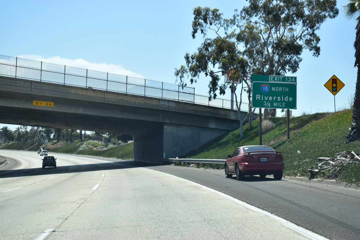
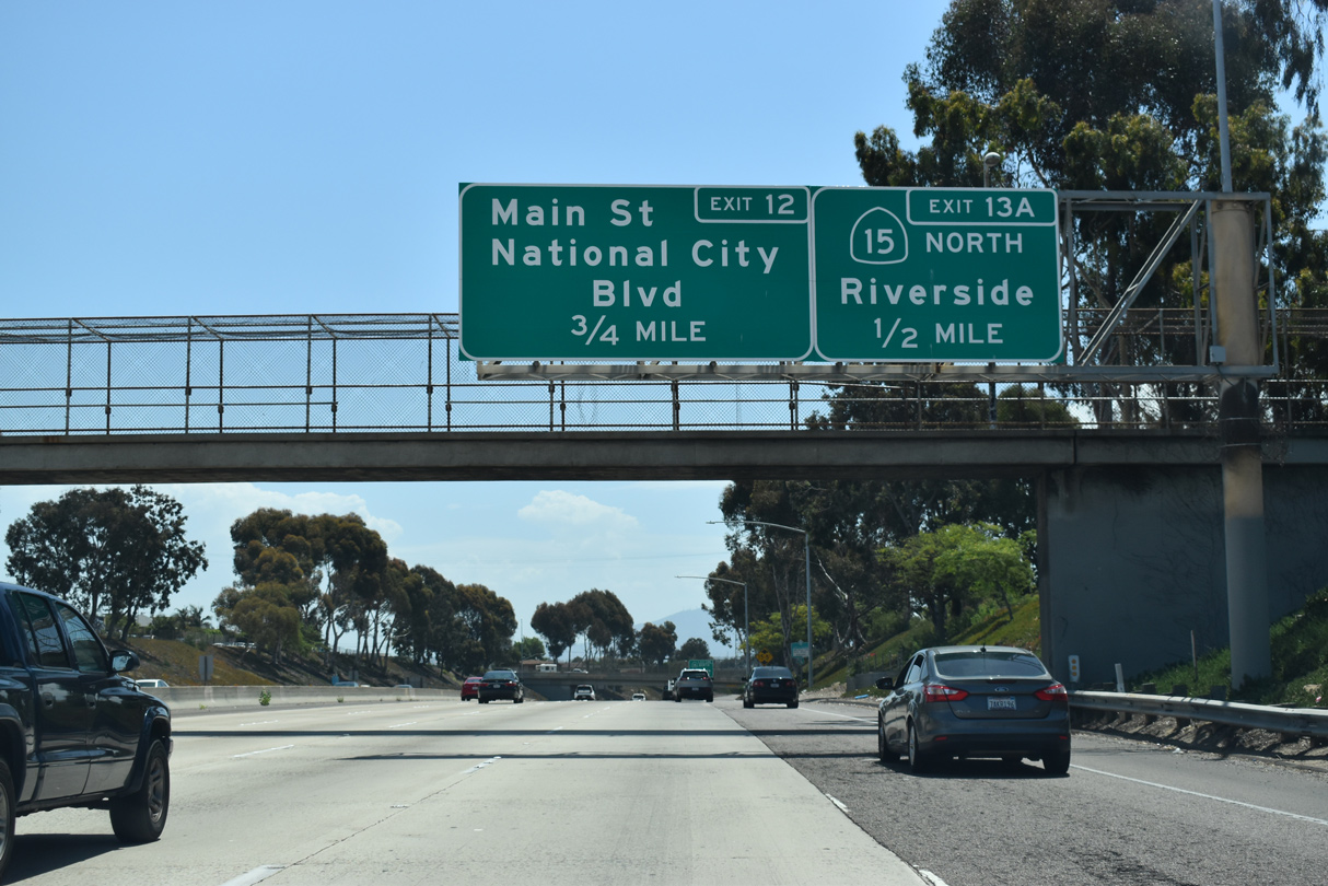
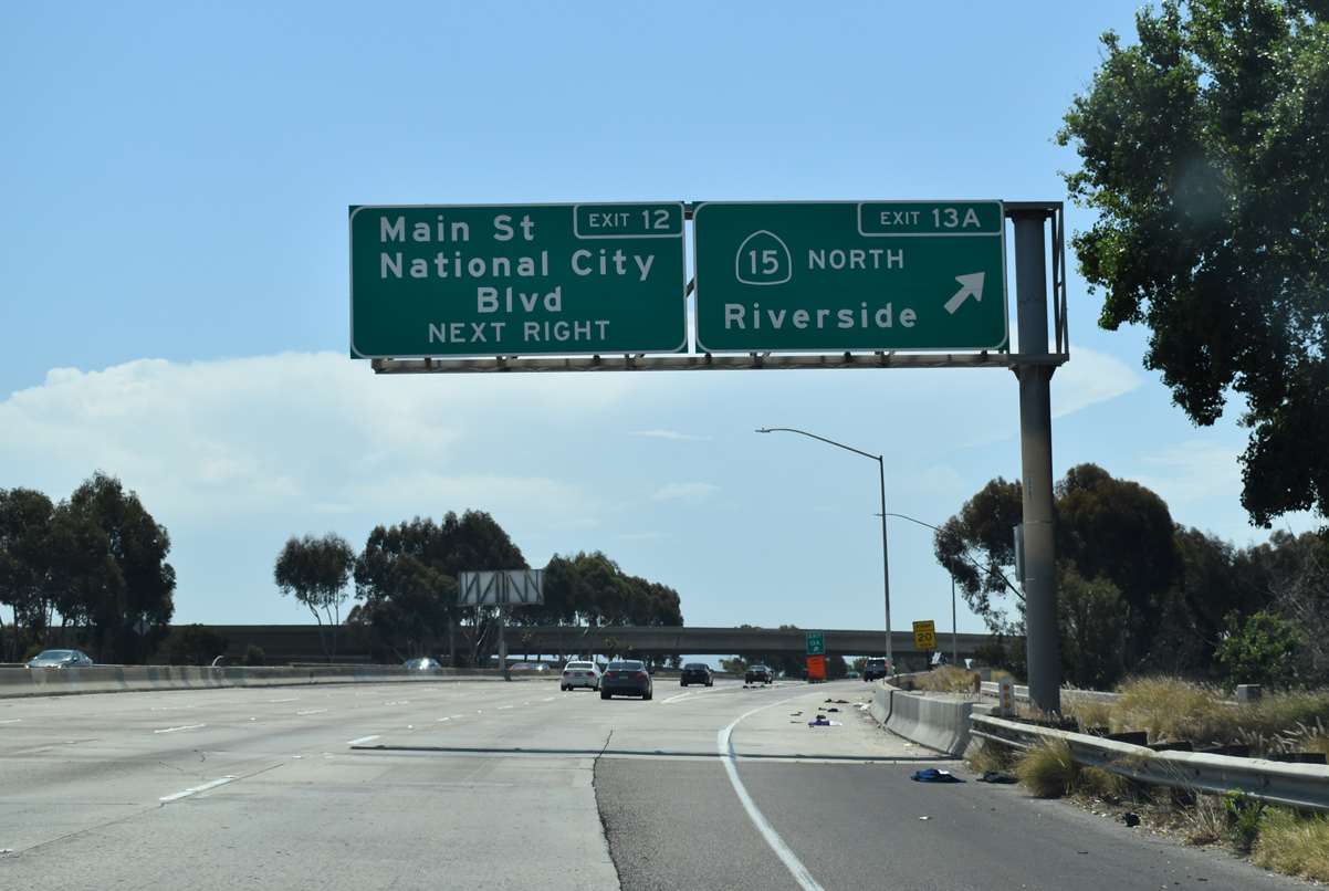
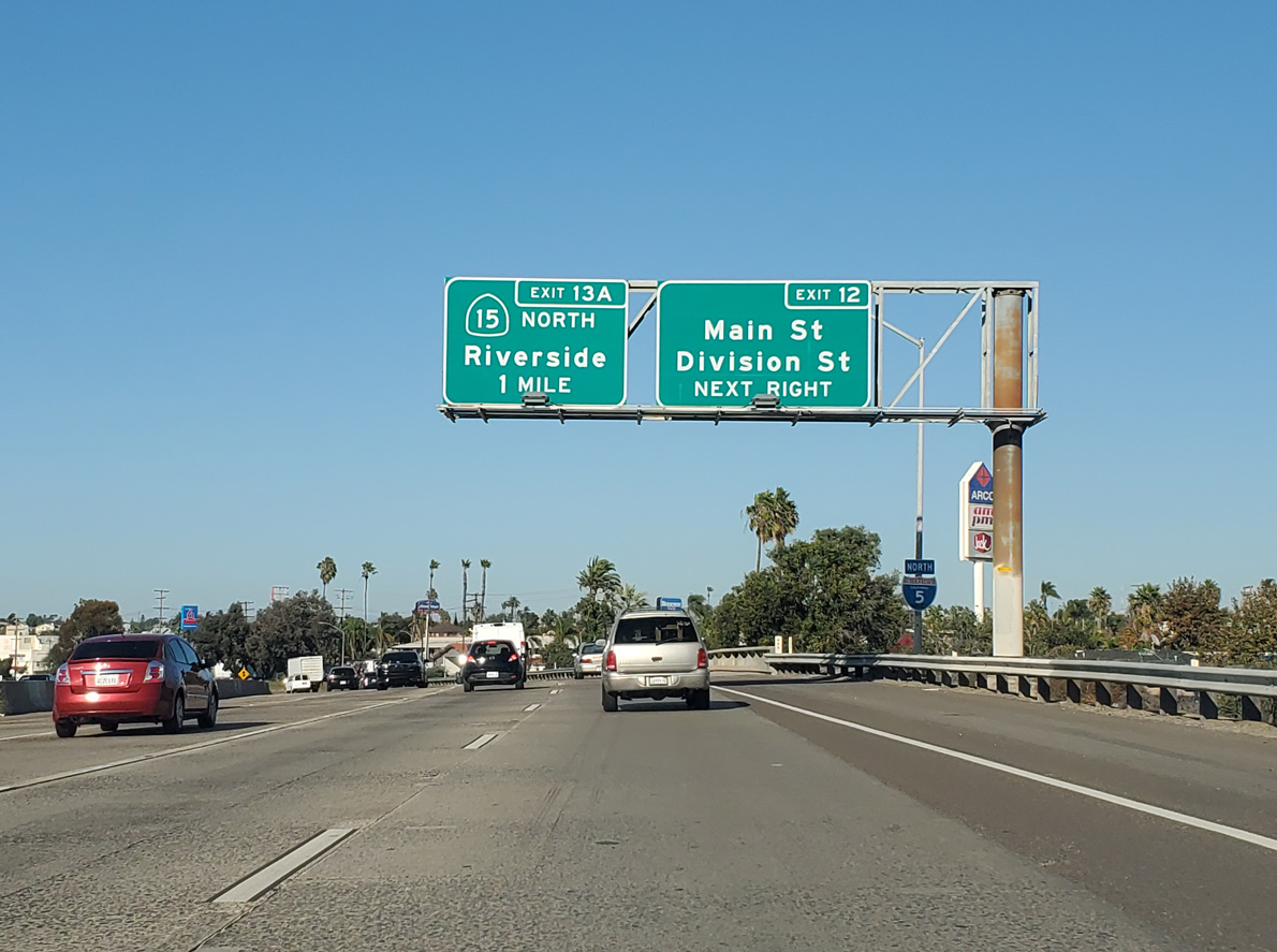
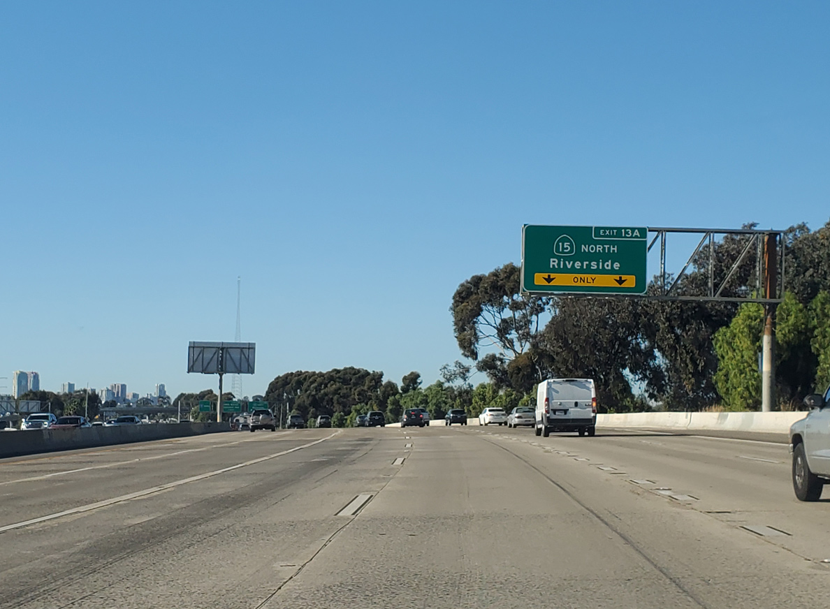
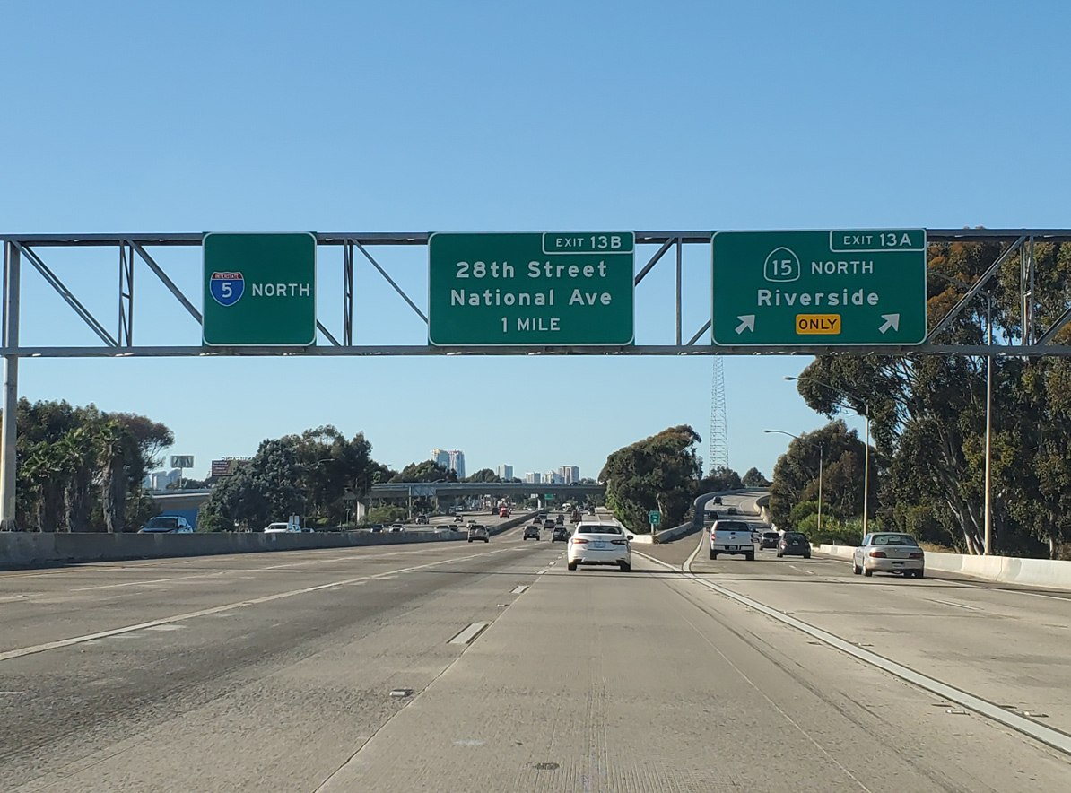
Exit 12 parts ways with Interstate 5 north for Main Street and Division Streets. The parclo interchange marks the city boundary between San Diego to the north and National City to the south. SR 15 begins at the ensuing exit within the San Diego community of Barrio Logan. 11/10/20
32nd St / Wabash Blvd – North at
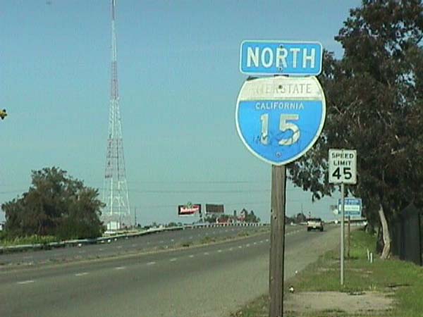
The city of San Diego previously placed an Interstate 15 shield along Wabash Boulevard north after the separation with 32nd Street. It was removed by 2003, and replaced later for a brief time with another I-15 marker. 03/01/98
References
- "Re: Interstate 15E signage in San Bernardino and Riverside Counties?" online posting by sparker, AARoads Forum, July 13, 2016. Retrieved from https://www.aaroads.com/forum/index.php?topic=18342.msg2158156#msg2158156
- Federal Highway Administration (FHWA). Celebrating the 50th Anniversary of the Eisenhower Interstate Highway System: Previous Interstate Facts of the Day. Retrieved from https://www.fhwa.dot.gov/interstate/previousfacts.cfm
- "Let the Construction Begin; I-15: UDOT Selects Low Bidder; I-15: UDOT Picks Low Bidder for $1.6 Billion Rebuild." Salt Lake Tribune, The (UT), March 27, 1997.
- Timeline outlines Montana Department of Transportation history. (2013, June 16). Montana Standard. Retrieved from https://mtstandard.com/timeline-outlines-montana-department-of-transportation-history/article_9ad310e6-d707-11e2-b36f-001a4bcf887a.html