
Interstate 215 California
Overview
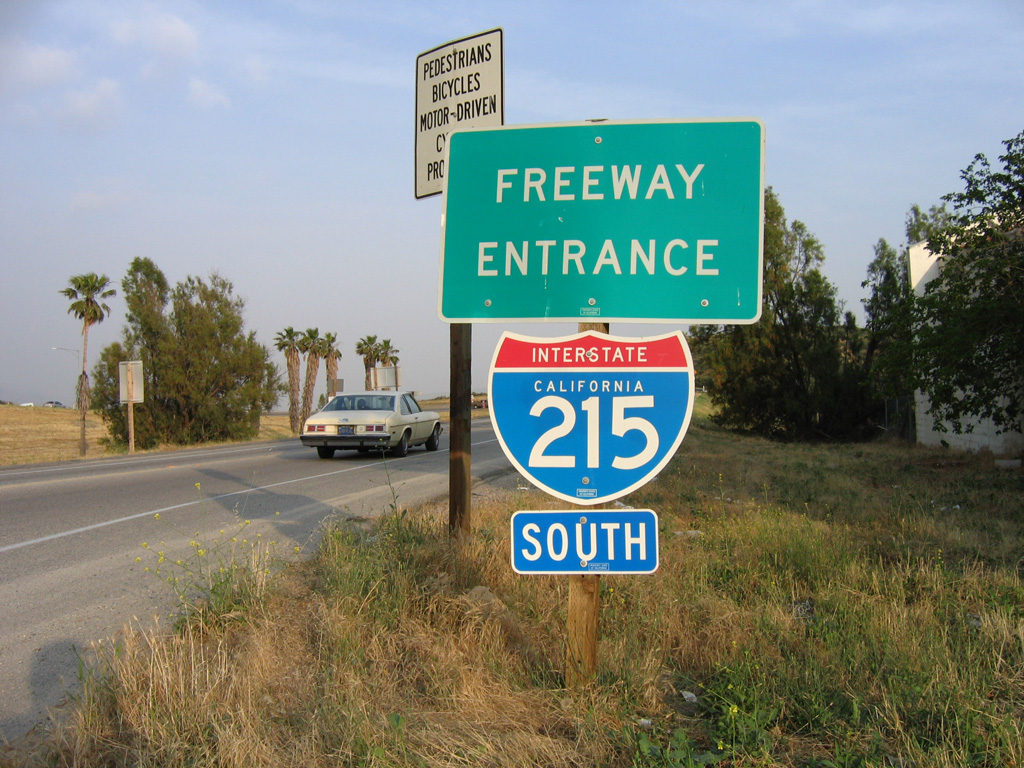
Interstate 215 provides access to the fast growing communities of the Inland Empire (Riverside and San Bernardino Counties). The commuter freeway joins a number of cities including Murrieta, Menifee and Perris with March Air Reserve Base and Moreno Valley south of Riverside. A 4.5 mile long section coincides with California State Route 60 (Moreno Valley Freeway) northwest to the end of the Riverside Freeway (SR 91).
Turning northeast from SR 60 and SR 91, I-215 continues to Grand Terrace and San Bernardino, where it meets I-10. Passing west of Downtown San Bernardino, I-215 begins a gradual westerly shift to Devore and the return to I-15 south of Cajon Pass.
Mileage by State
| California | 54.50 mi |
Data Sources
December 31, 2021 Interstate Route Log and Finders List
History
Interstate 215 in California was originally U.S. 395 between Murrieta and San Bernardino. Signed as Interstate 15E in the 1970s, I-215 was completed by the 1990s. California State Route 215 along the expressway sections was eliminated with the completion of the freeway between SR 60 and SR 74.
The long standing bottleneck along Interstate 215 at the late 1950s era cloverleaf interchange joining the freeway with SR 60 west and SR 91 south in Riverside was addressed with a $317 million upgrade underway from 2004 to 2008. Reconstruction widened five miles of freeway and replaced the loop ramps previously joining I-215 north with SR 91 south and the I-215 southbound mainline movement onto SR 60 east. 11 bridges were built, with the tallest flyover topping out at 90 feet. A half mile section of the freeway along SR 91 was raised by 30 feet as well.1
The Interstate 215 Widening Project added a general use and carpool lane to I-215 between I-10 and SR 210, and auxiliary lanes from 5th Street to SR 210 and northbound from SR 210 to University Parkway (Exit 48). The $647 million project also reconstructed all bridges along the 7.5 mile stretch and improved the interchange linking I-215 with SR 210 in San Bernardino. Left exits and entrance ramps were relocated to the right during the January 2007 to 2013 project. The new flyover from I-215 north to SR 210 west opened in December 2011. The connector from SR 210 east to I-215 south followed in July 2012.2
Completed in mid 2016, the $324 million Devore Interchange Project at the north split of I-15/215 added an additional general use lane in each direction, constructed 18 bridges and reconnected Historic Route 66 between Kenwood Avenue and Devore Road / Glen Helen Parkway. Two miles of truck bypass lanes were added in each direction to eliminate slower weaving truck traffic due to the area grades. Associated work improved I-15 north through Cajon Pass at a cost of $121 million. Work at both areas got underway in mid 2013 as design-build projects. It included upgrading local ramp interchanges, and replacing the two outside lanes in each direction of Interstate 15 with new concrete between Kenwood Avenue and a point two miles south of U.S. 395. Additionally provisions were made along the 12 mile long stretch for the potential addition of carpool or tolled express lanes.3,4
North End  ‐ San Bernardino, CA
 North at
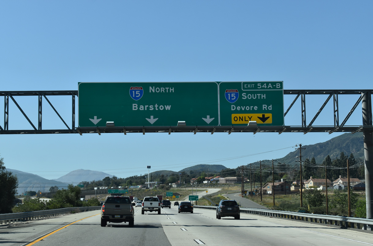
Exit 54 A leaves I-215 north for Devore Road to the community of Devore and Old U.S. 66-91-395. The succeeding exit connects with southbound Interstate 15. 03/27/22
South at
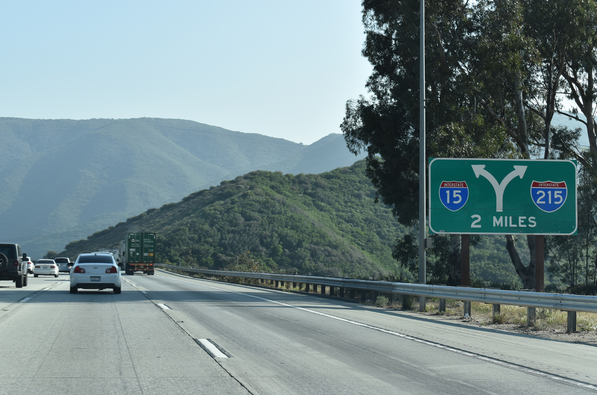
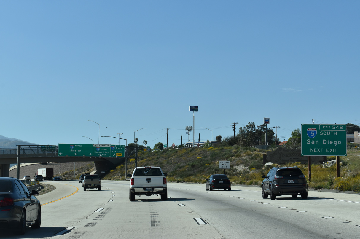
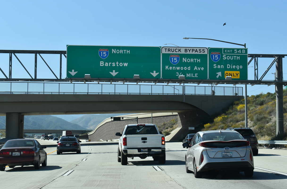
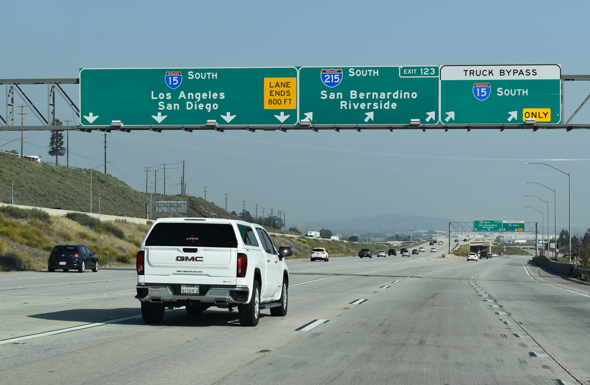
Weaving down from the Cajon Summit, southbound Interstate 15 maintains four through lanes at the directional T interchange (Exit 123) with I-215 south. 04/01/22
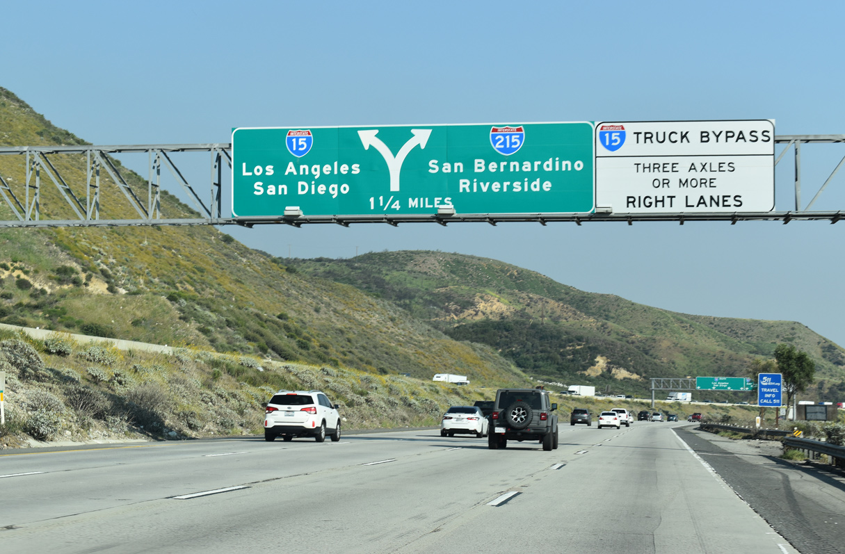
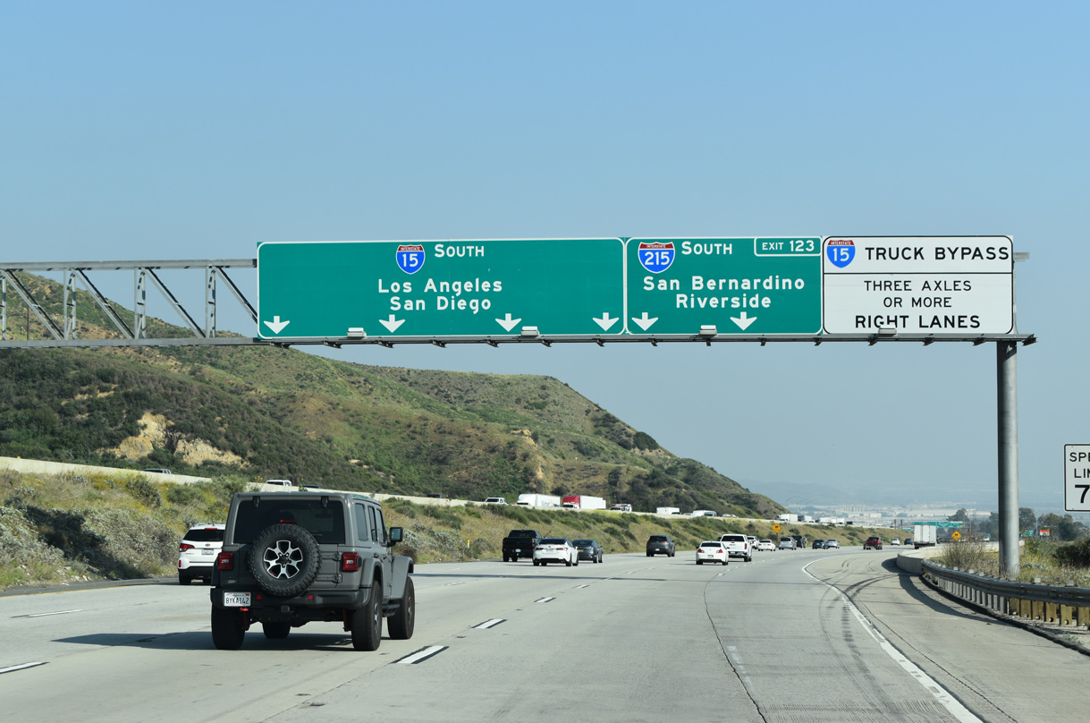
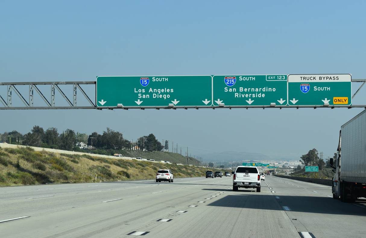
North at
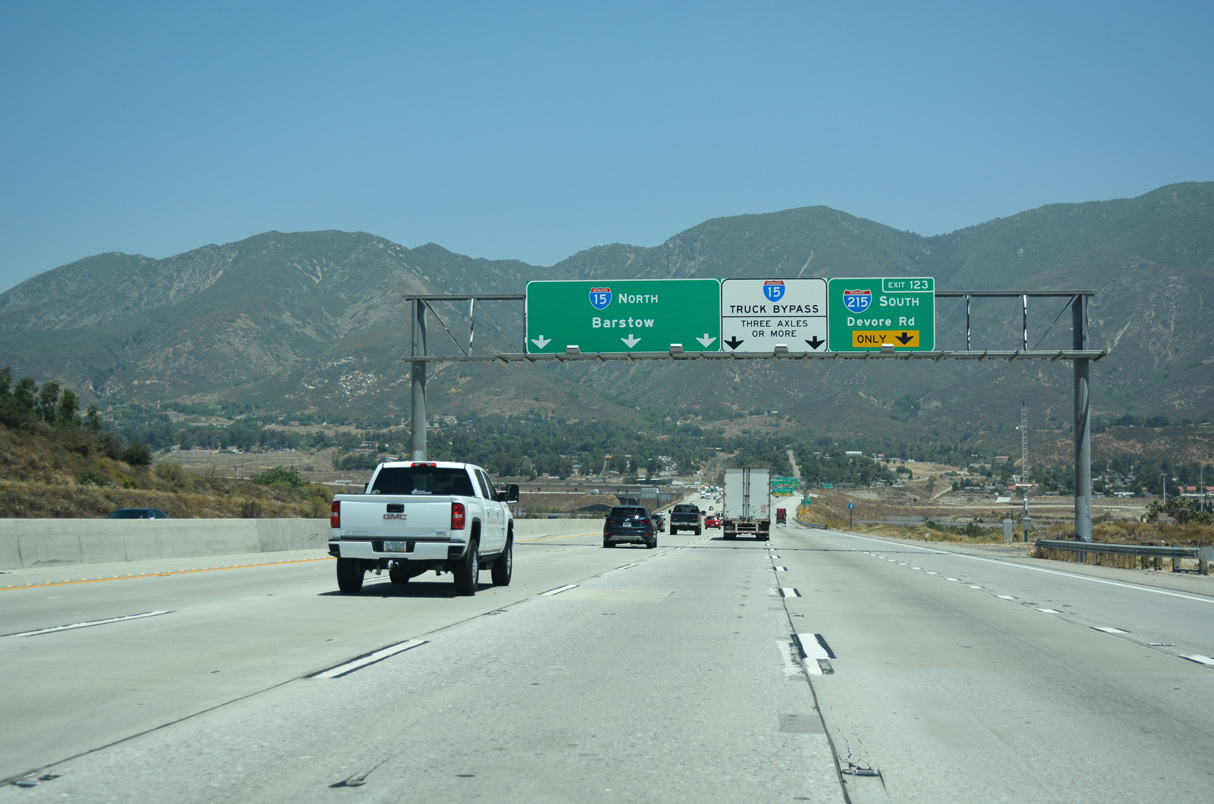
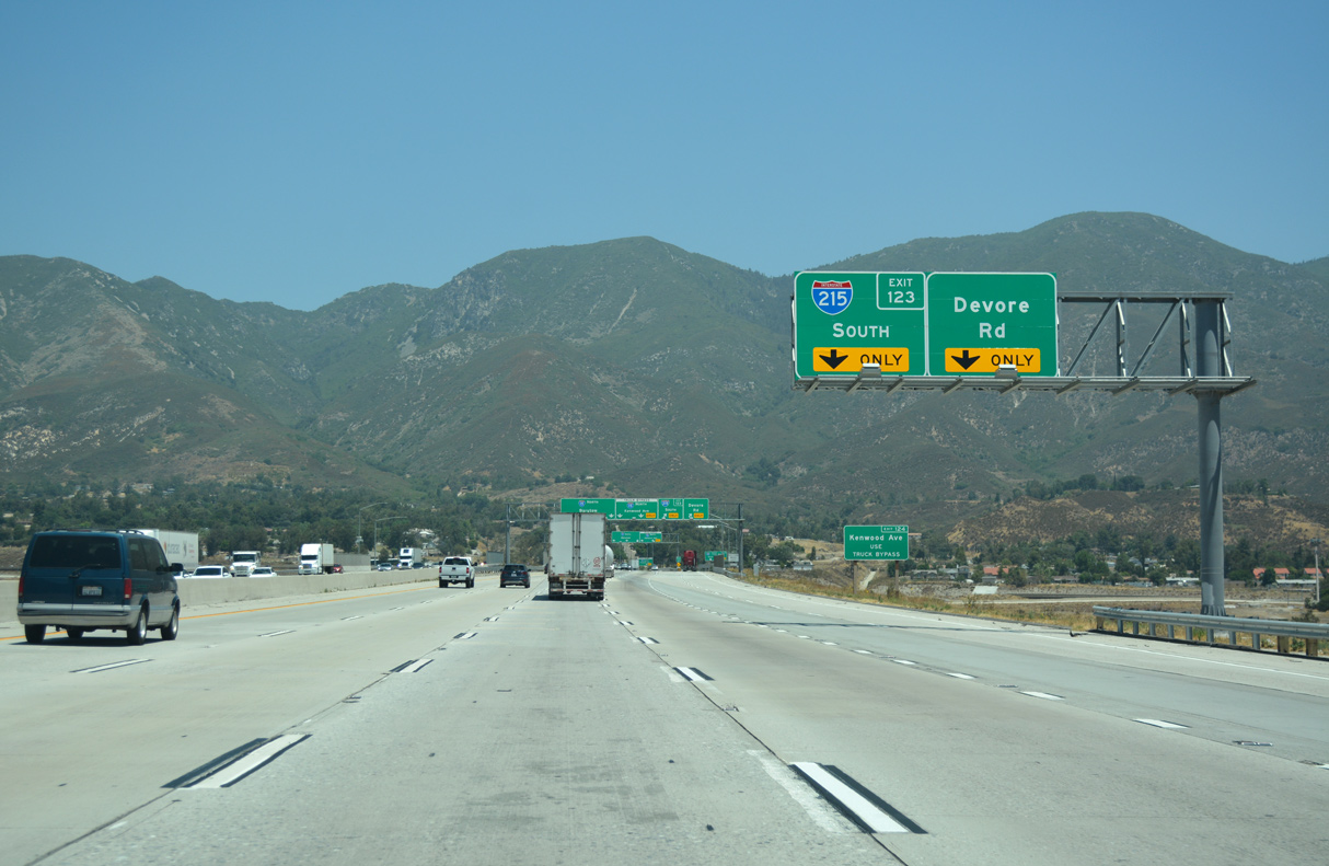
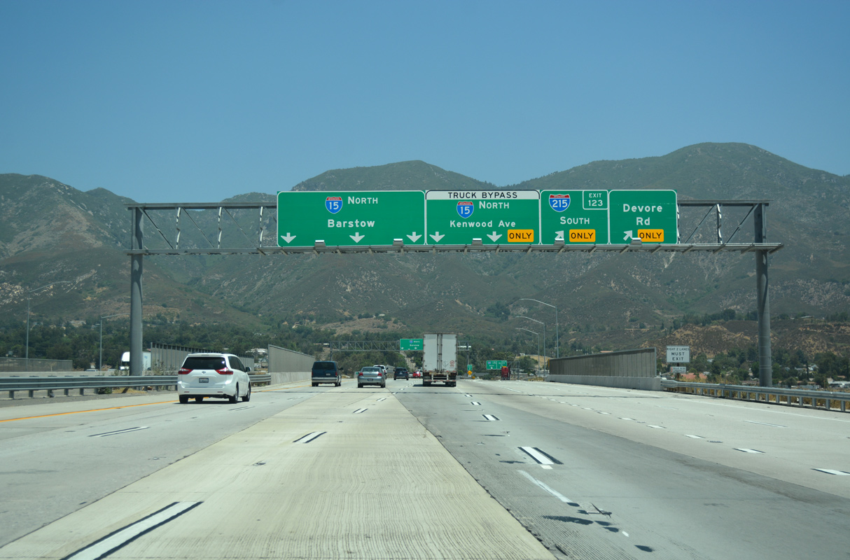
The western extent of the San Bernandino Mountains rise along the north side of Devore as I-15 approaches the directional T interchange (Exit 123) with Interstate 215 (Barstow Freeway) south. 07/13/18
North End – Past Views
Past Views Gallery (Tap to Expand / Collapse Section)
North at
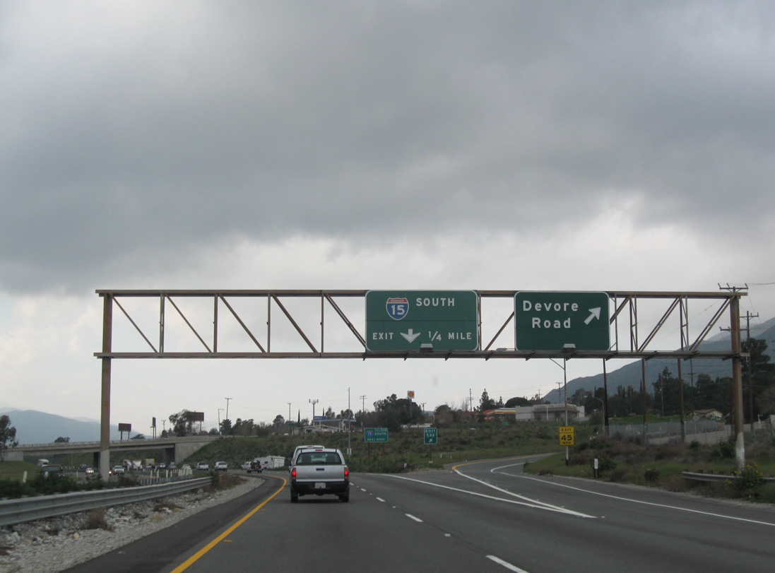
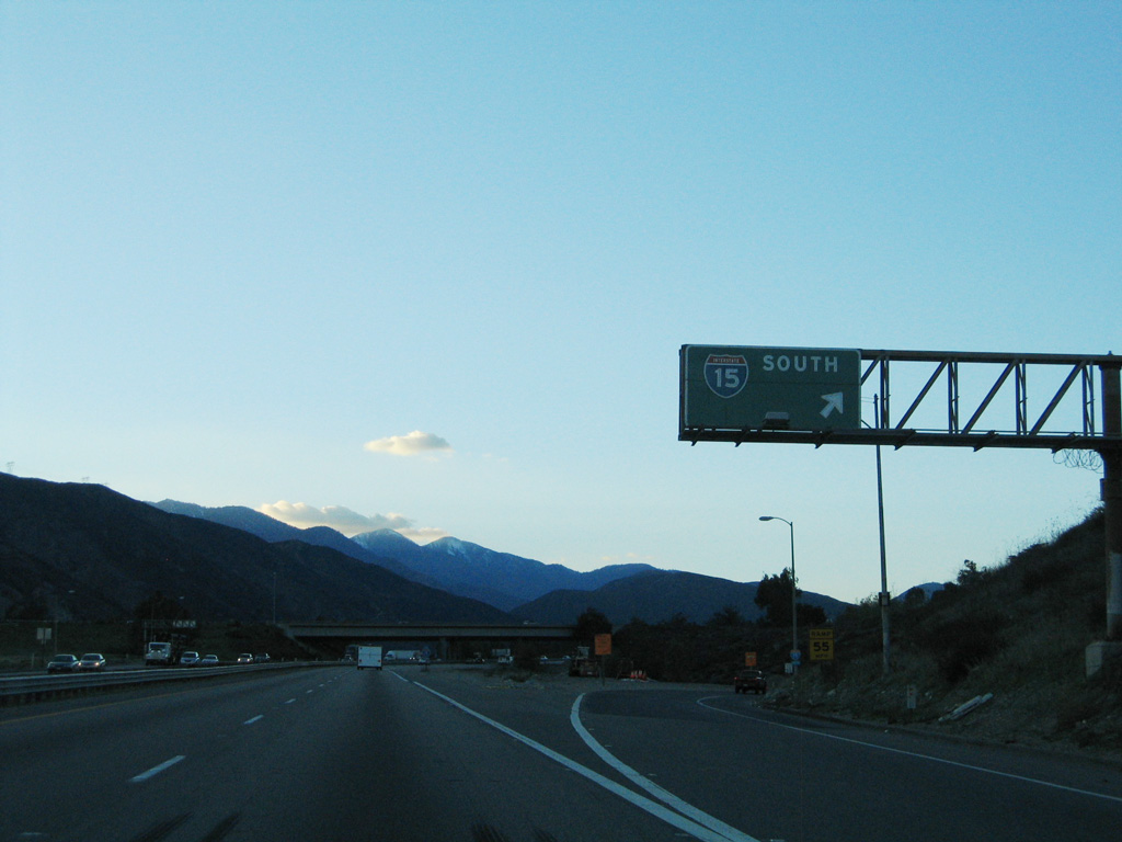
I-215 north at Exit 54A for Devore Road prior to six lane expansion. 02/20/10
South at
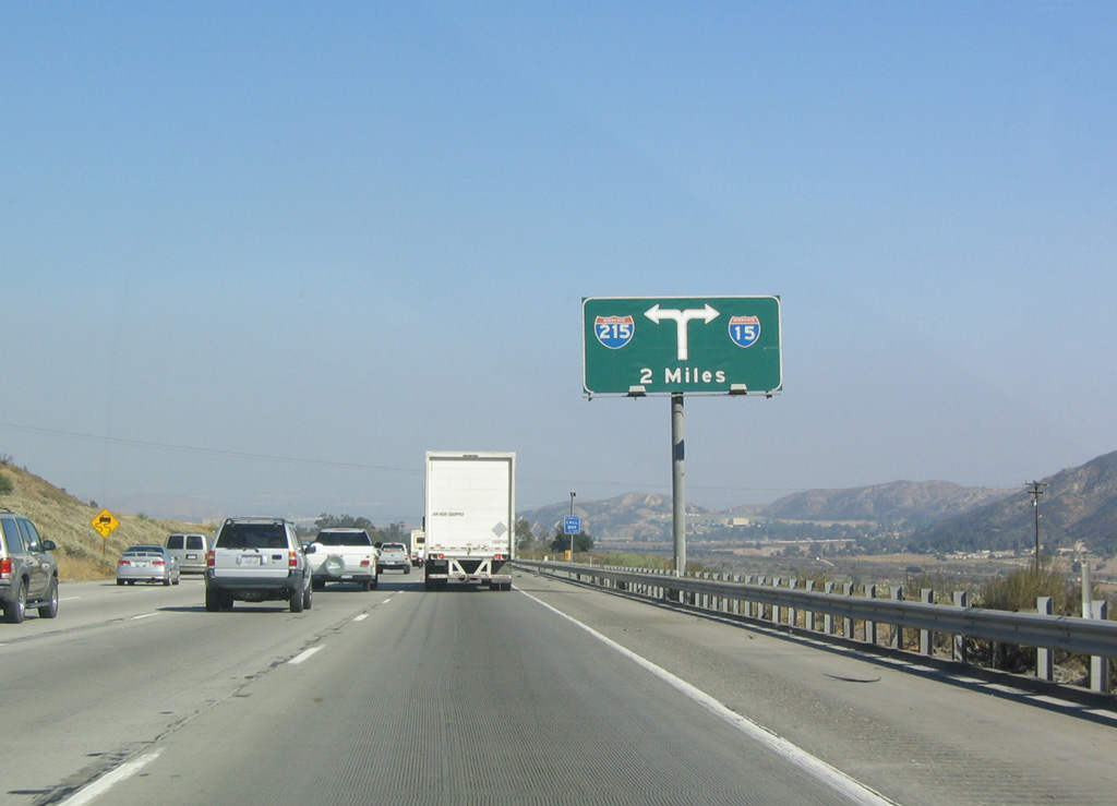
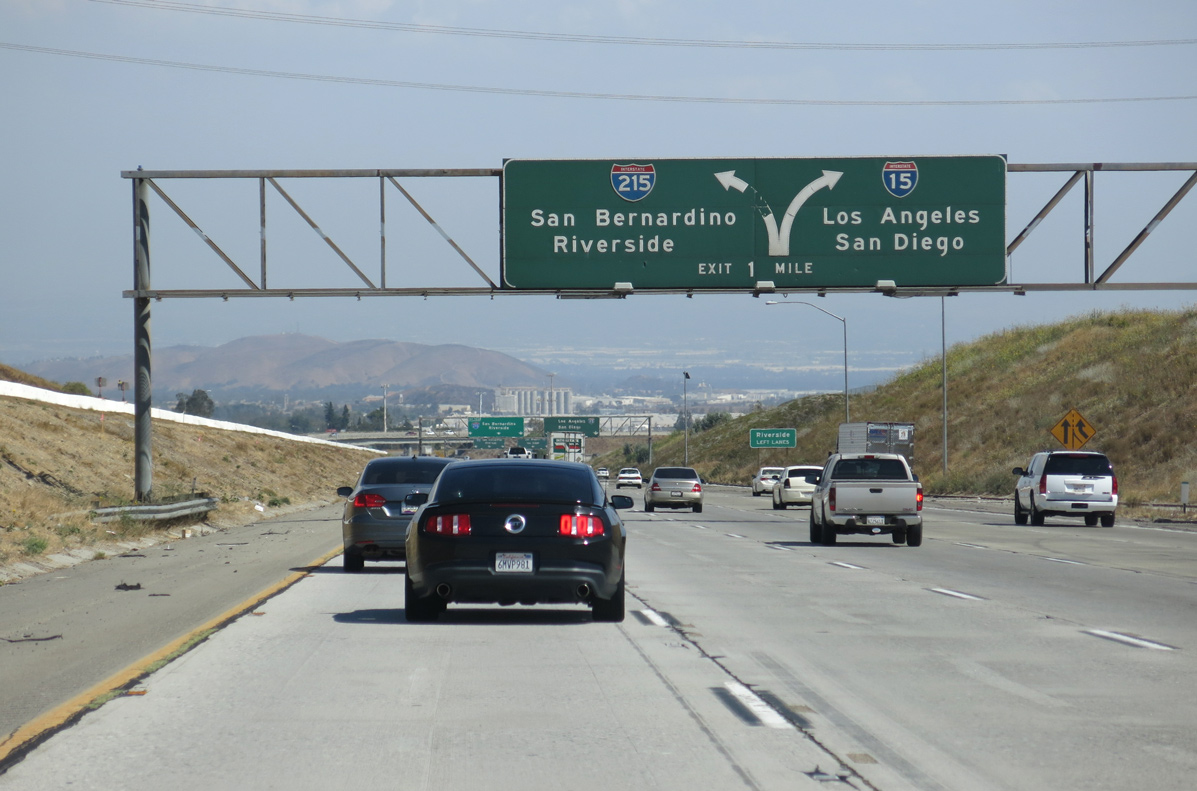
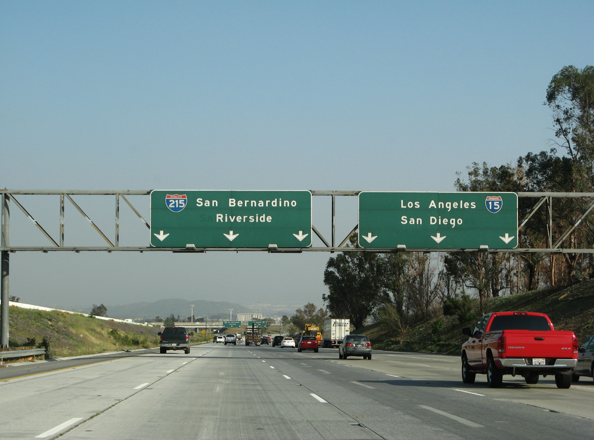
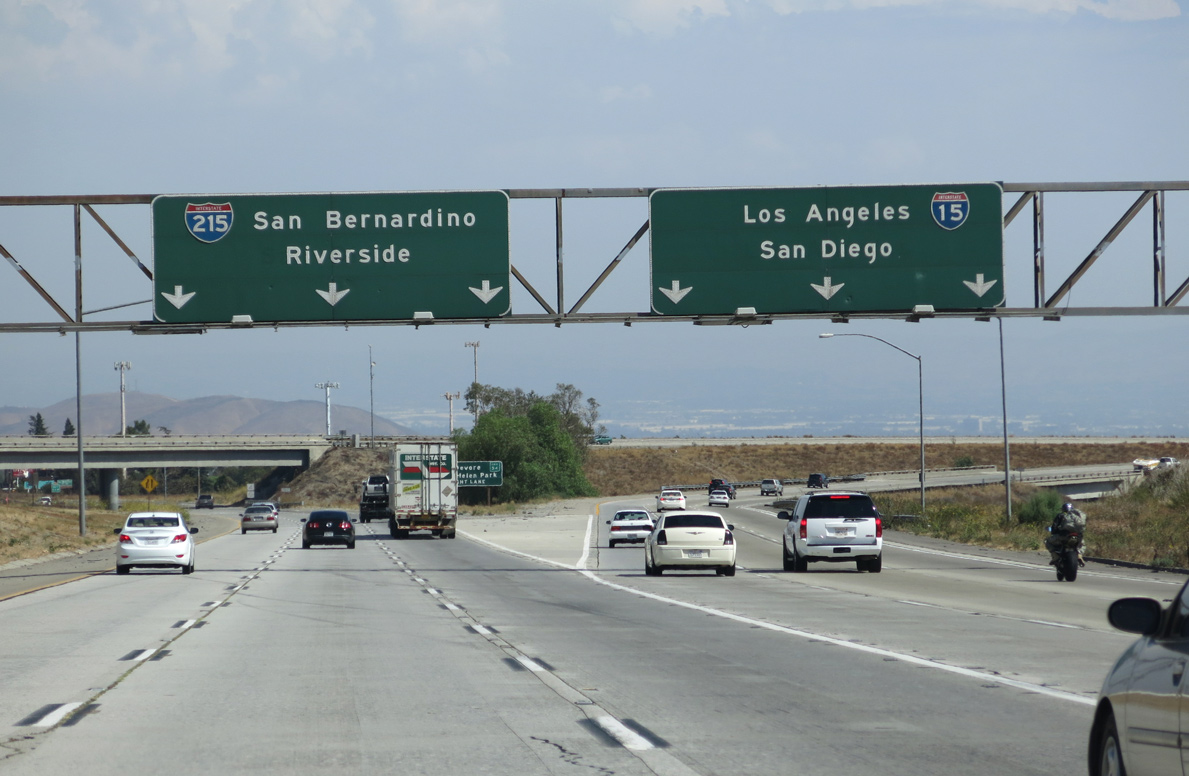
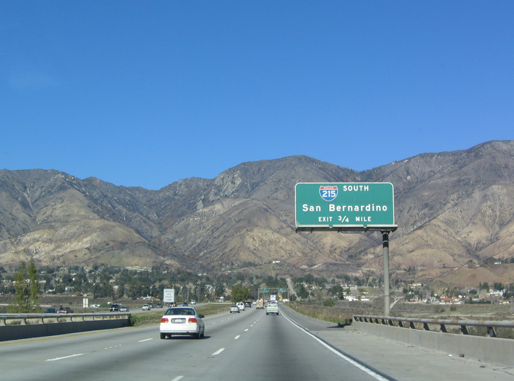
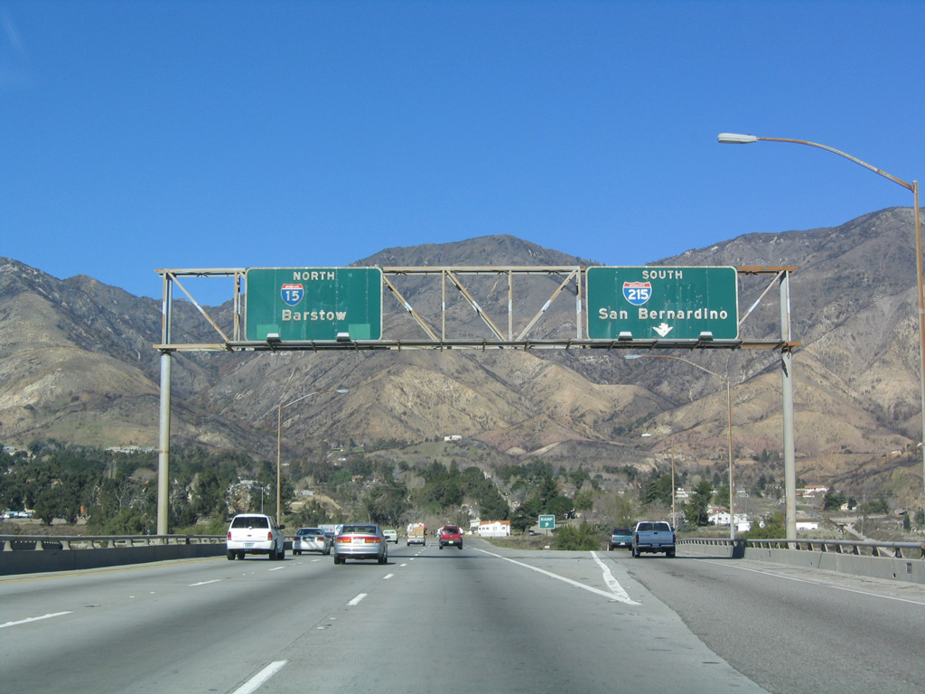
Replaced by 2008, the initial guide sign for Interstate 215 was this unique diagrammatic overhead. 06/27/04
North at
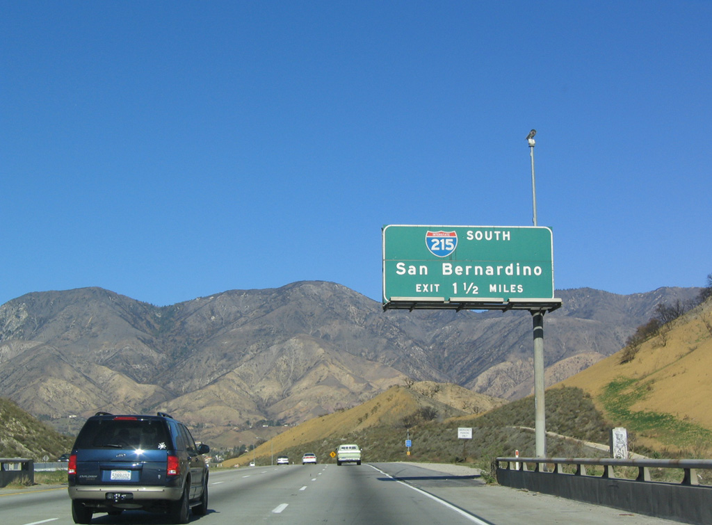
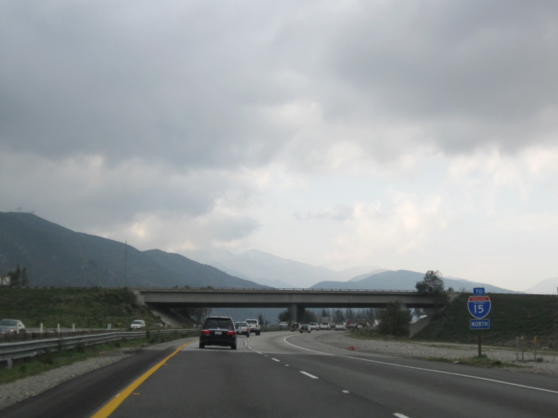
I-15 converges with I-215 north of Glen Helen Regional Park in the San Bernardino neighborhood of Devore. 01/18/04
South End ‐ Murrieta, CA
South at
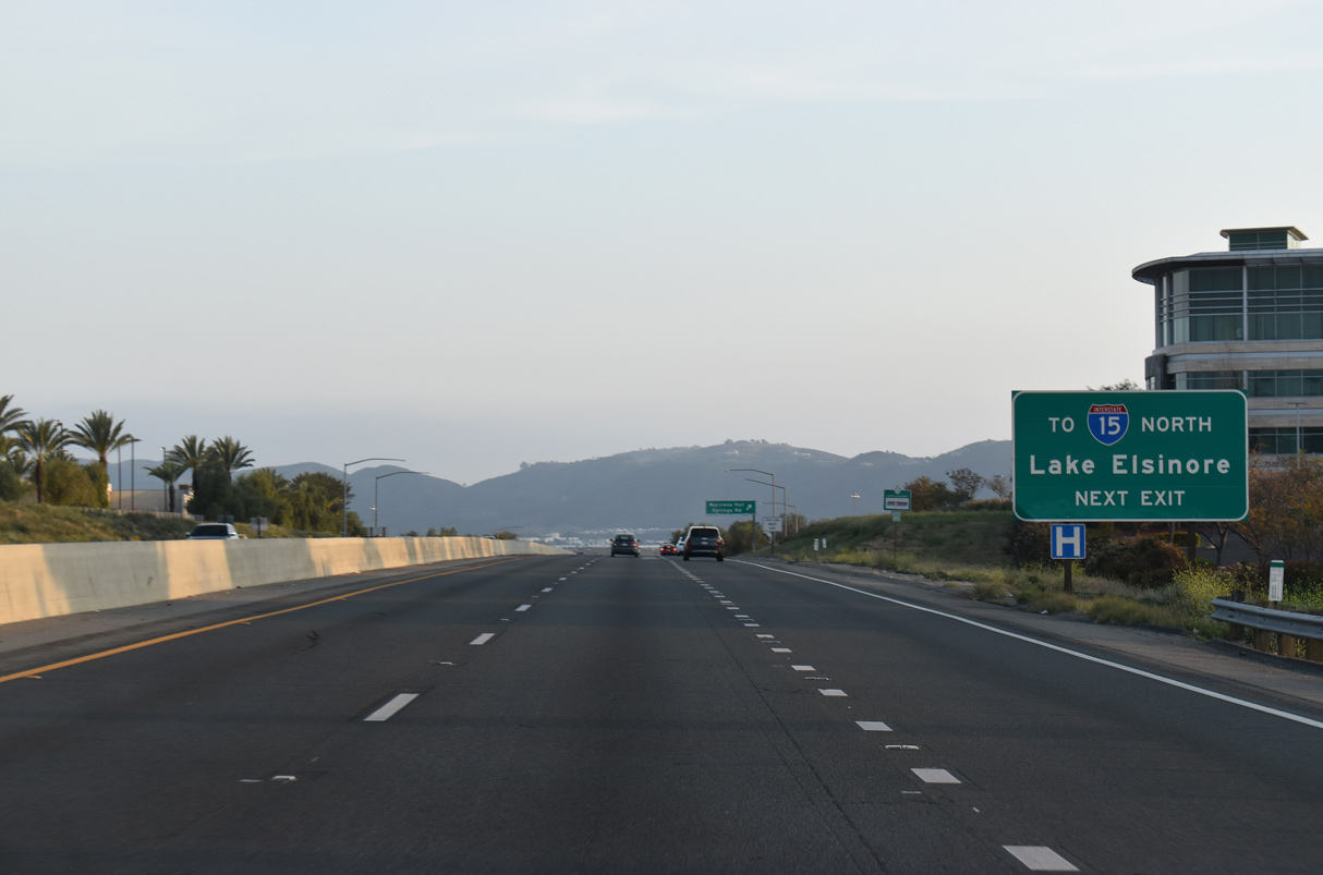
The final exit along Interstate 215 southbound is for Murietta Hot Springs Road. There is no direct connection to I-15 north, and motorists instead are directed along the seven lane arterial west to link with the Temecula Valley Freeway northwest toward Corona. 04/01/22
North at
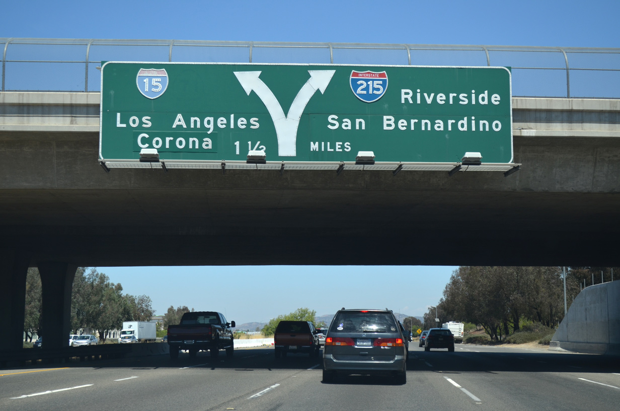
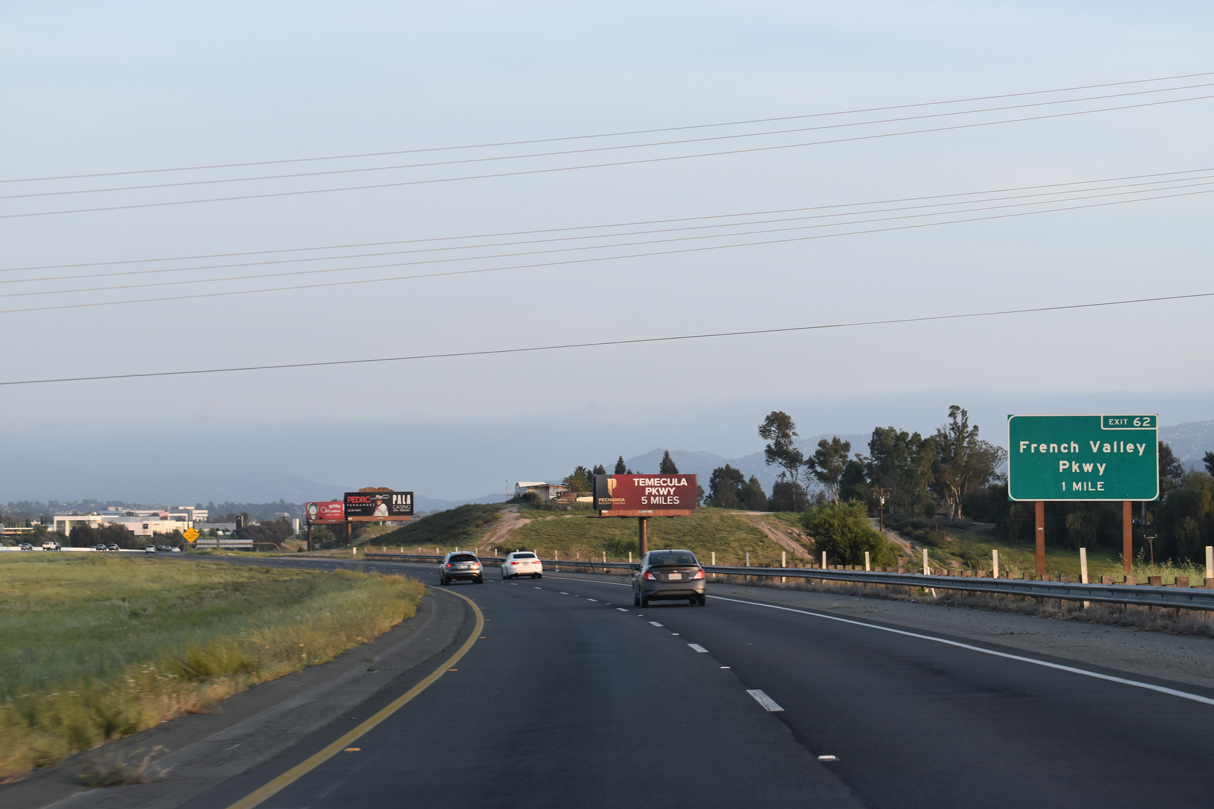
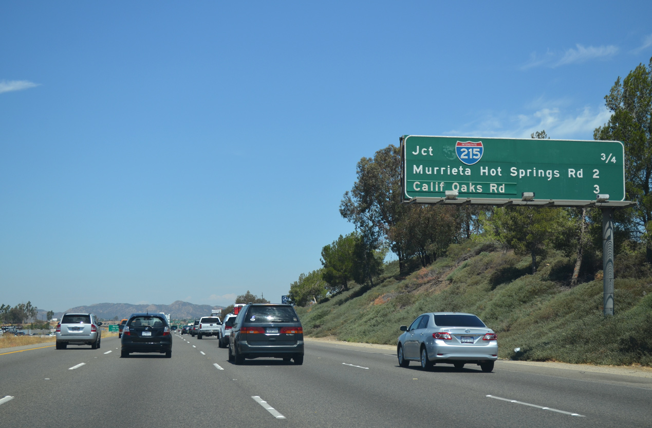
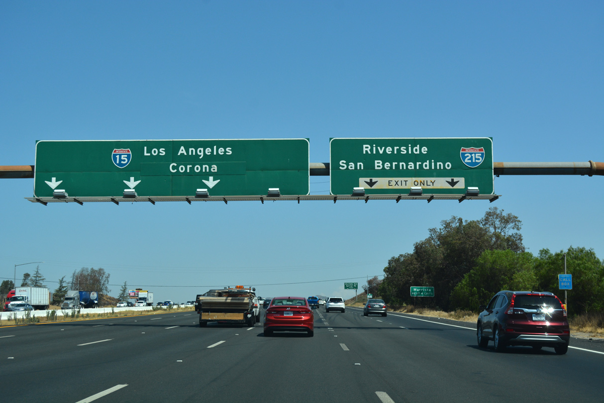
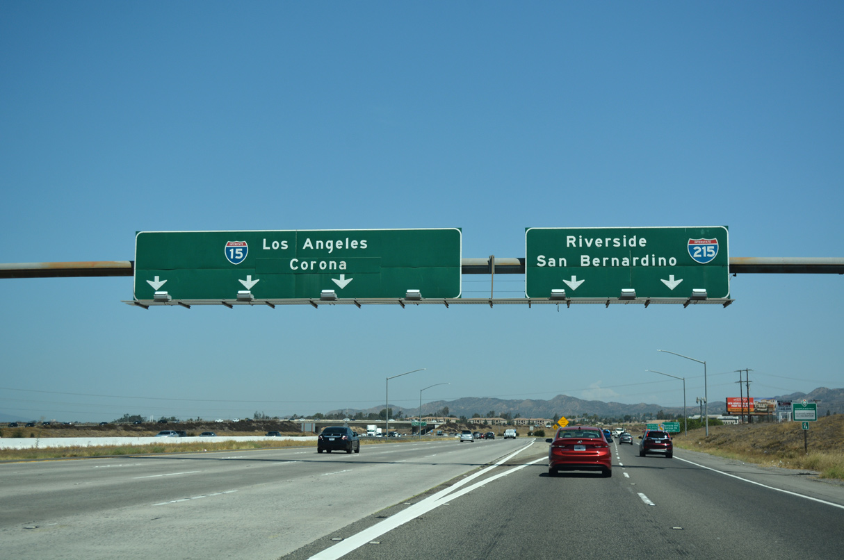
1.5 miles ahead the wye interchange (Exit 63) with I-215 on I-15 north at SR 79 (Winchester Road). Upgraded to full freeway by the 1990s, I-215 follows the original route of U.S. 395 through Sun City, Perris, Moreno Valley, Riverside, Colton and San Bernardino. Old U.S. 395 rejoins I-15 near Cajon Pass. 07/20/14
References
- Relief is near on 60/91/215 interchange. (2007, September 21). Los Angeles Times.
- California Department of Transportation (Caltrans). I-215 Widening. Retrieved from http://dot.ca.gov/dist8/Project-I-215-Widening.html
- Atkinson Construction. (n.d.). I-15/I-215 Devore Interchange Improvements. Retrieved from https://www.atkn.com/our-work/i-15i-215-devore-interchange-improvements
- California Department of Transportation (Caltrans). (September 2017), pages 20-22. Projects Relieve Traffic Squeeze on I-15. Retrieved from https://dot.ca.gov/programs/public-affairs/mile-marker/september-2017