
Interstate 86 (Western)
Overview
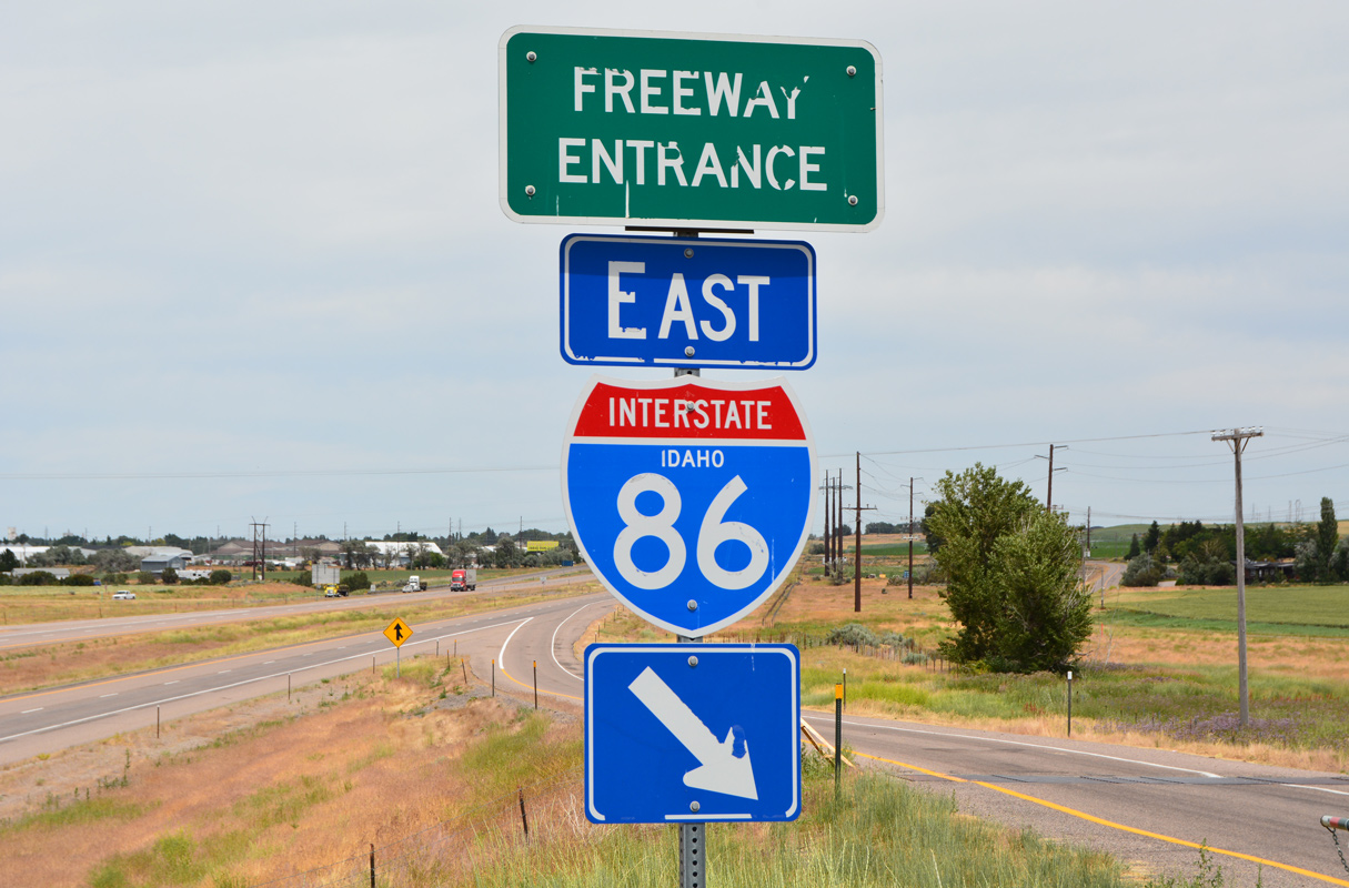
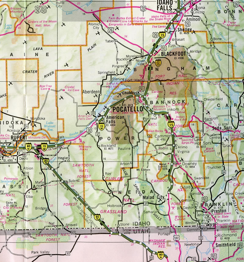
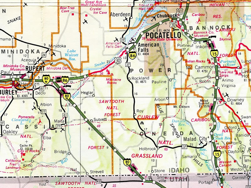
The western Interstate 86 is a rural route linking I-84 east of Twin Falls with I-15 at Pocatello in southeastern Idaho. The freeway parallels the Snake River (Lake Walcott) northeast from Raft River to American Falls. East from there, the route flattens out somewhat adjacent to a Union Pacific Railroad line leading into the Pocatello vicinity.
The eastern Interstate 86 stretches across the Southern Tier of New York from Erie County, Pennsylvania to Binghamton. That route was established in 1999. Prior to that, a separate I-86 ran from Hartford, Connecticut to Sturbridge, Massachusetts from 1969 to 1984. Other split routes include I-76, I-84 and I-88.
Mileage by State
| Idaho | 62.83 mi |
Data Sources
December 31, 2025 Interstate Route Log and Finders List
Major Projects
I-84/86 Salt Lake City Interchange
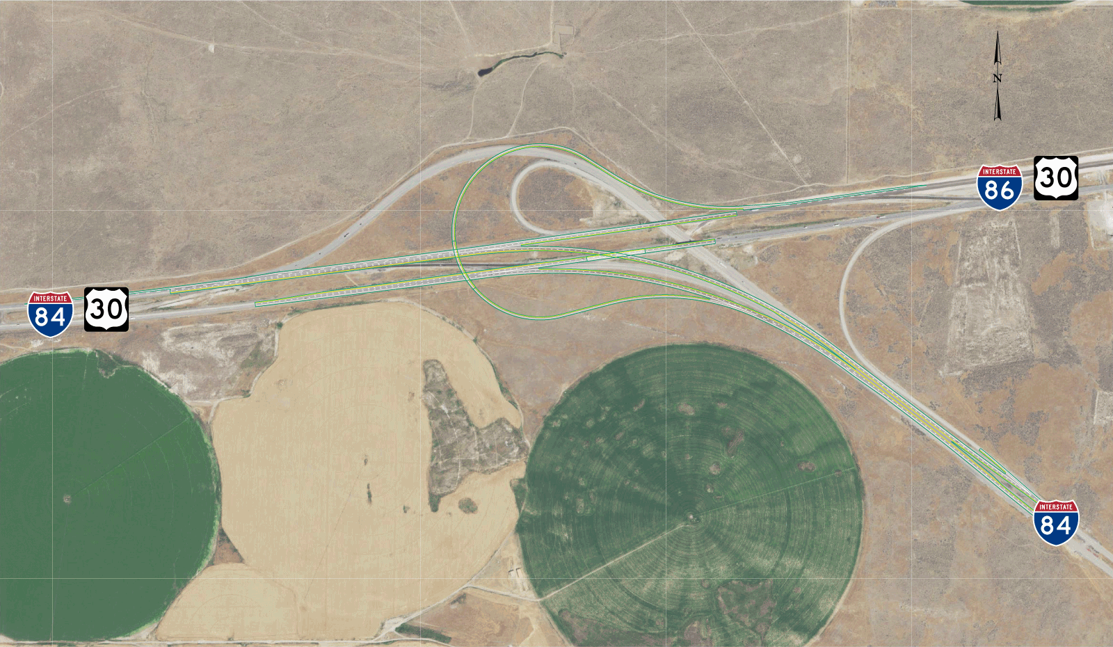
Construction started in May 2018 reconfigured the trumpet interchange built in 1960 that joined Interstate 84 and U.S. 30 with the west end of I-86 in Cassia County. The $20 million project realigned the roadways for I-84, eliminating the arc along westbound and shifting the merge with traffic from I-86 to the right. A sweeping loop ramp replaced the shorter radius loop connecting I-86/U.S. 30 west with I-84 east as well. Work wrapped up in Winter 2020.2,3
I-86/15 Systems Interchange Complex
$112 million in construction from mid 2022 to Summer 2025 addressed weaving traffic along Interstate 15 at the east end of I-86 while replacing functionally obsolete bridges within the exchange (Johnson, 2025). A new northbound roadway was constructed for Interstate 15 within the existing right of way. The former roadway was rebuilt as a collector distributor roadway extending north from Pocatello Creek Road. Ramps from I-15 north to I-86 west and I-86 east to I-15 north were adjusted to tie into the c/d roadway, eliminating the left side ramps within the original directional T interchange built in the 1960s.
Parallel U.S. Routes
Interstate 86 follows U.S. 30 (former U.S. 30N) throughout its route in Idaho and has one business loop in American Falls.
History
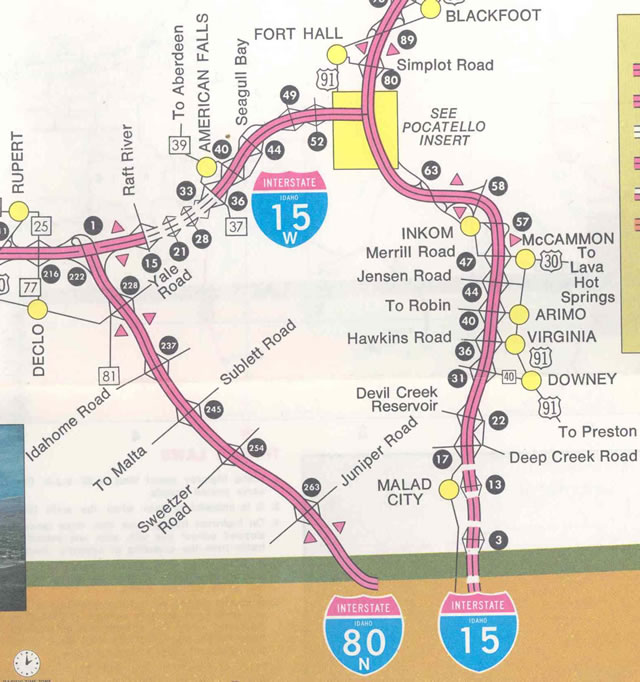
Interstate 15W was initially to be renumbered as part of newly designated I-84 from Pocatello west to the junction with I-80N; Interstate 86 was the number preferred by Idaho and Utah officials for the I-80N corridor. Instead, the American Association of State Highway and Transportation Officials (AASHTO) conditionally approved the renumbering of I-15W as I-86 and I-80N as I-84 on July 6, 1977. Approval of the renumbering was finalized by November 1977 and sign changes were to be made by January 1, 1978.1
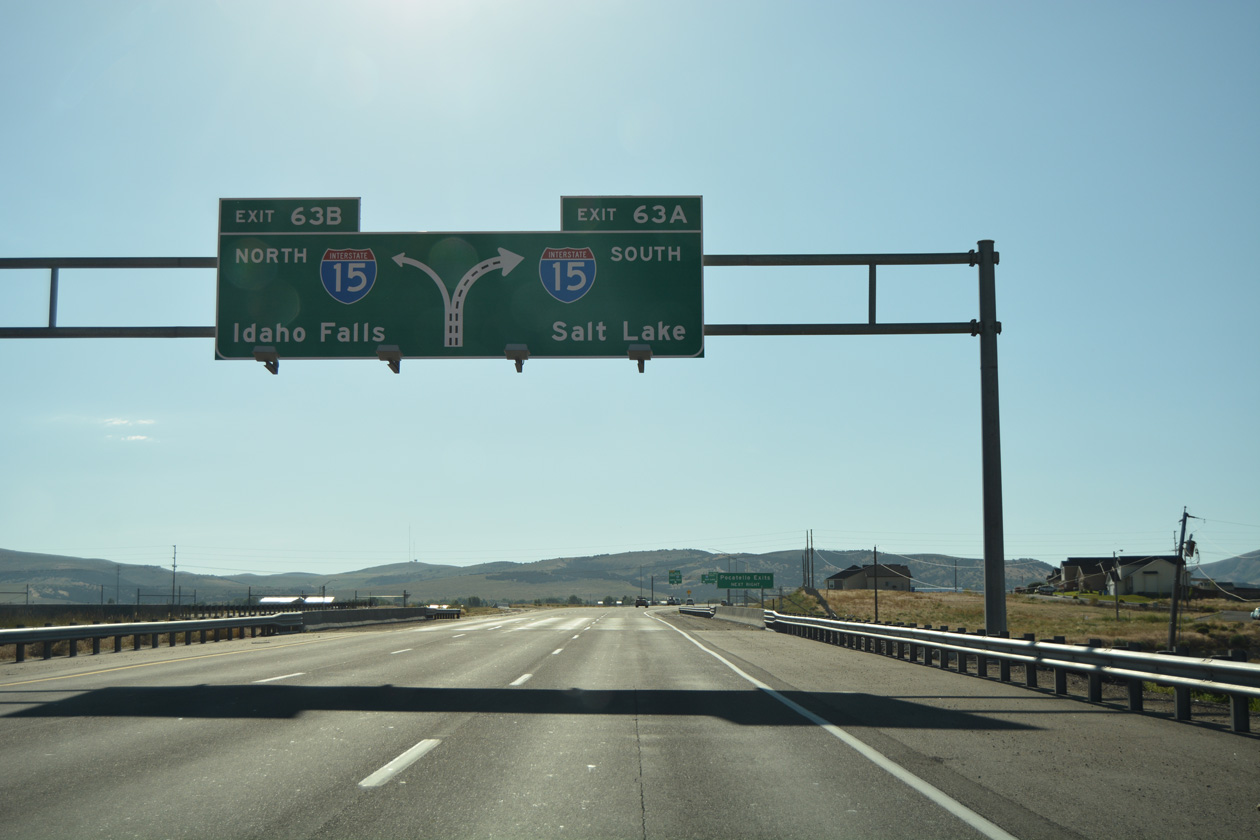
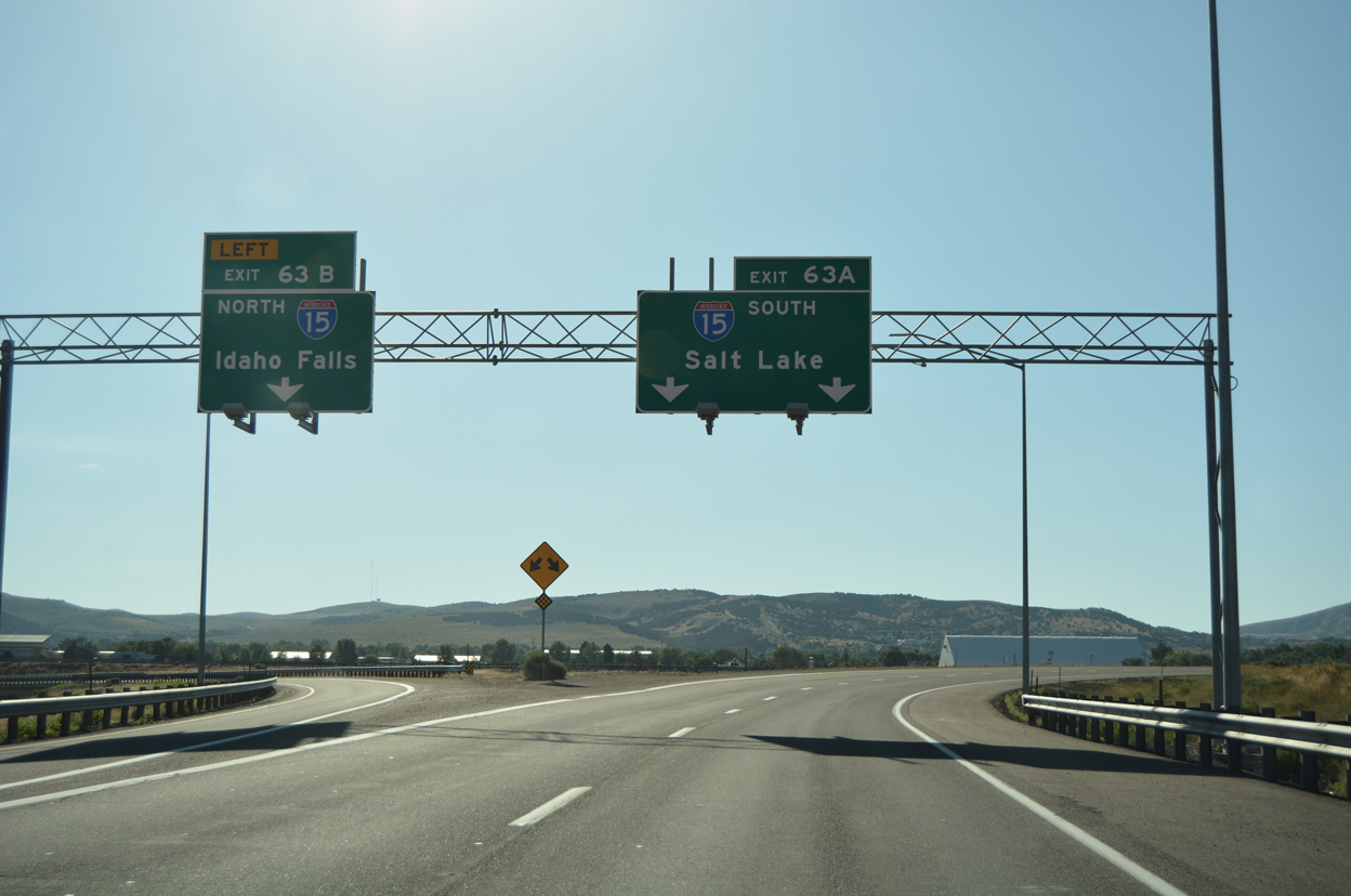
East End  ‐ Pocatello, ID
 East at
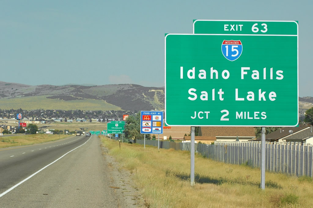
The first sign for Interstate 15 along I-86 east precedes the diverging diamond interchange (DDI) with U.S. 91 (Yellowstone Highway). Photo by Jeff Royston (07/11/07).
North at
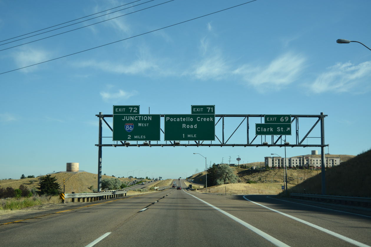
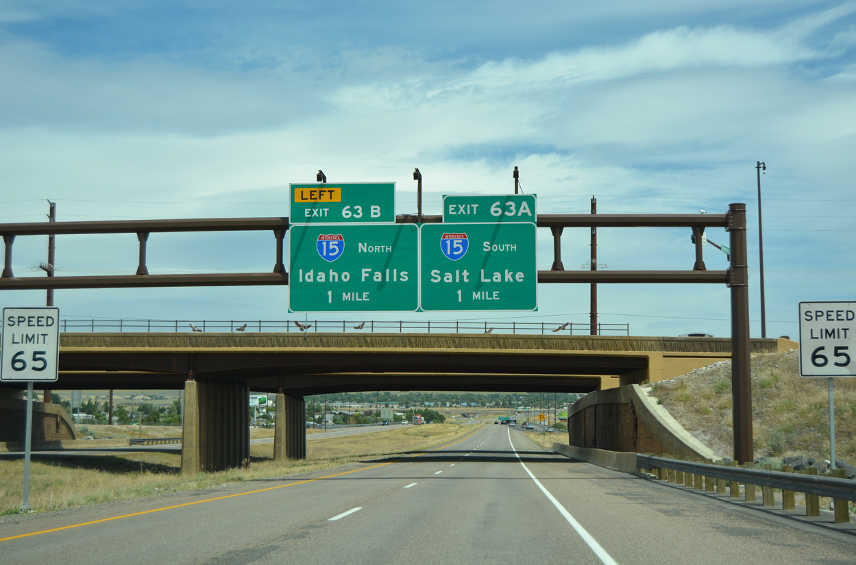
Interstate 15 meets the east end of I-86 two miles north of Clark Street and Idaho State University. 07/08/16
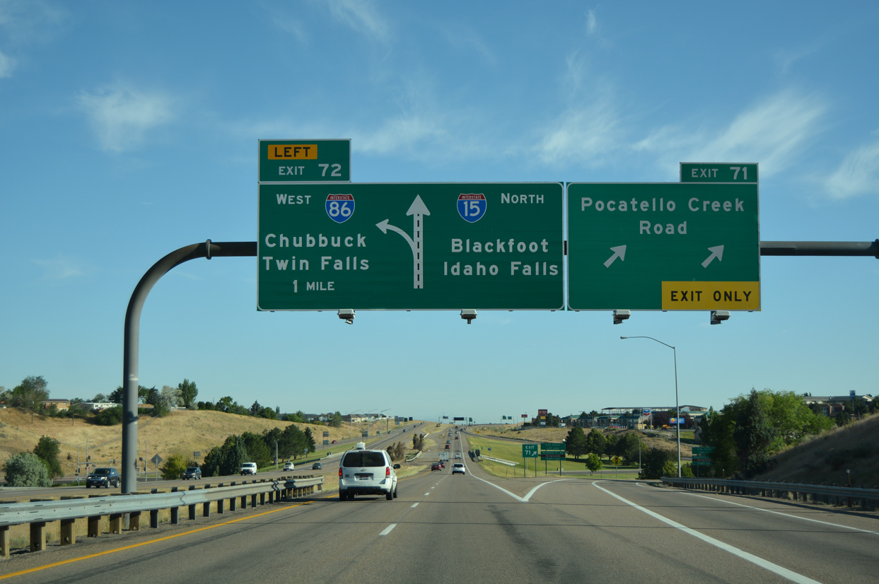
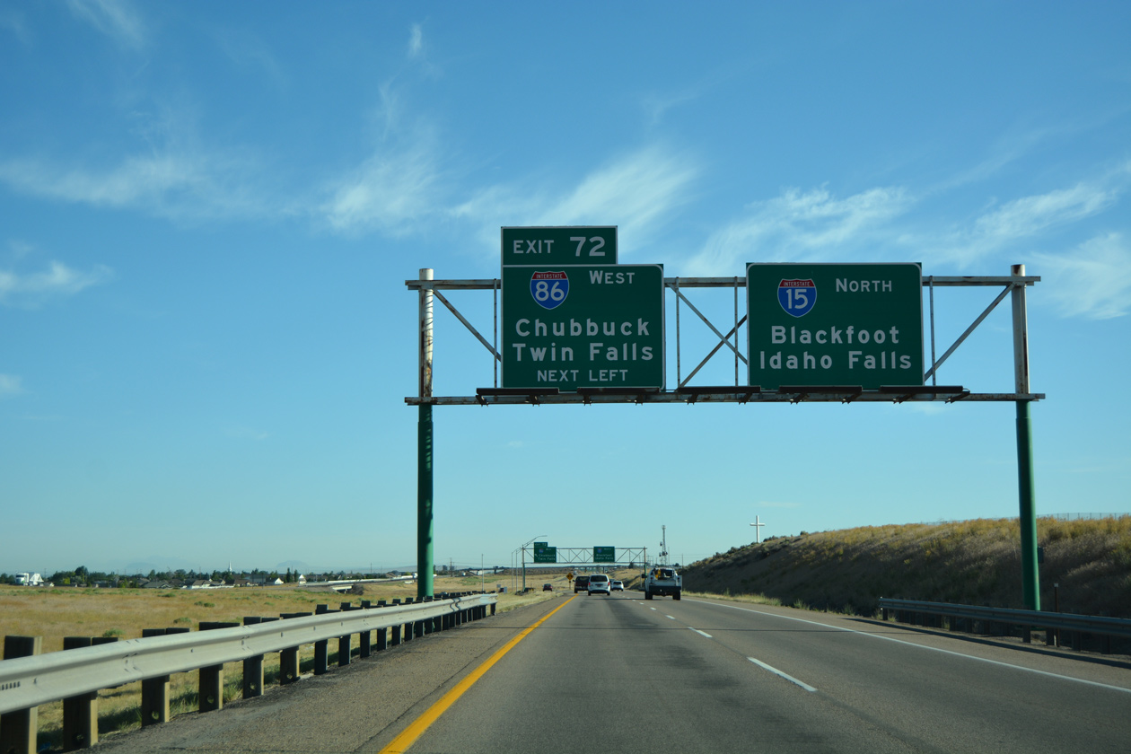
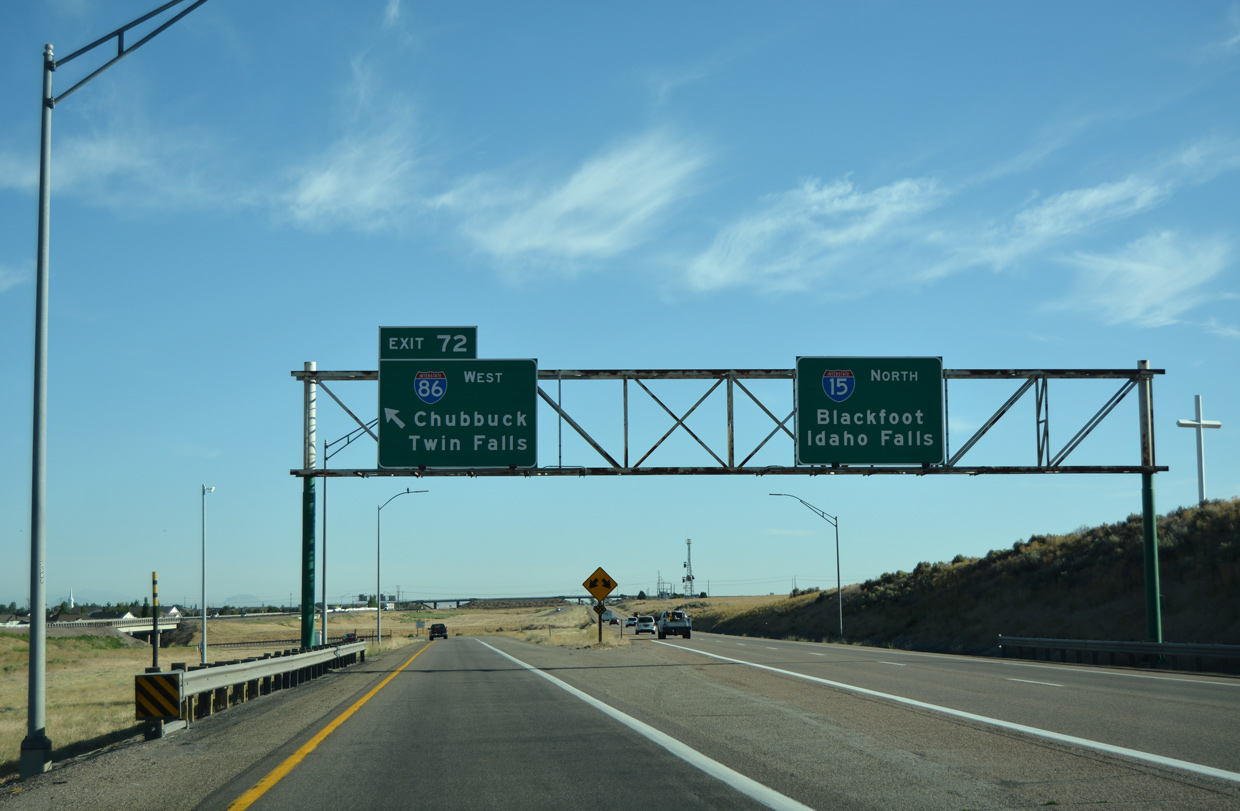
South at
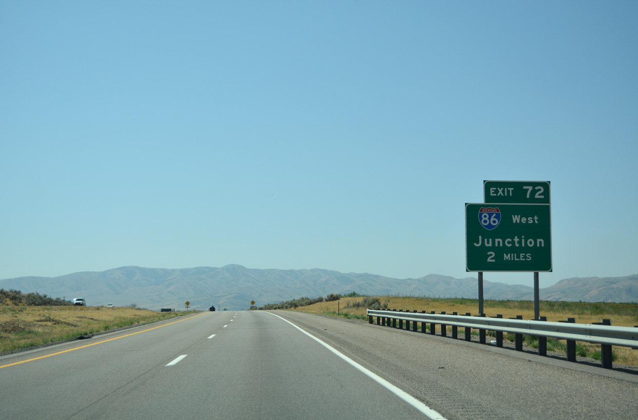
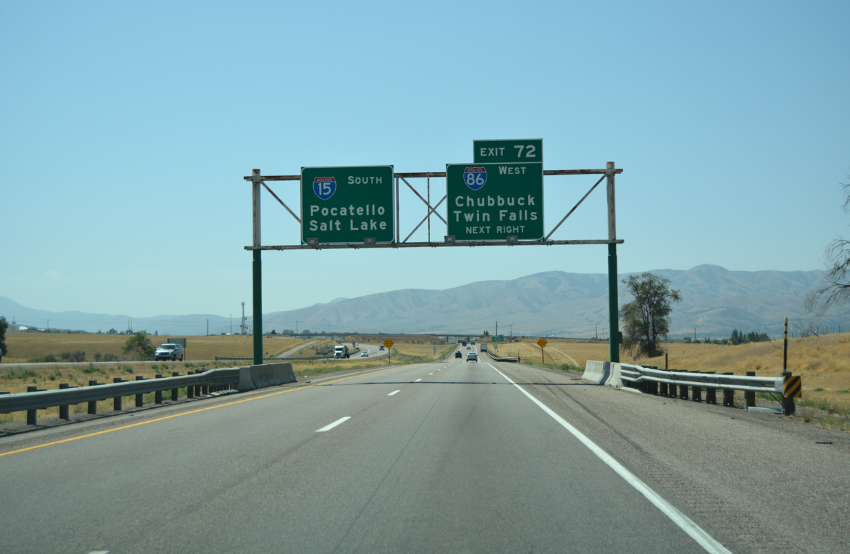
A diamond interchange was constructed along Interstate 15 with Northgate Parkway, two miles north of I-86. The exchange opened to traffic following a grand opening event held on the morning of December 6, 2019.4 08/09/16
East End – Past Views
Past Views Gallery (Tap to Expand / Collapse Section)
East at
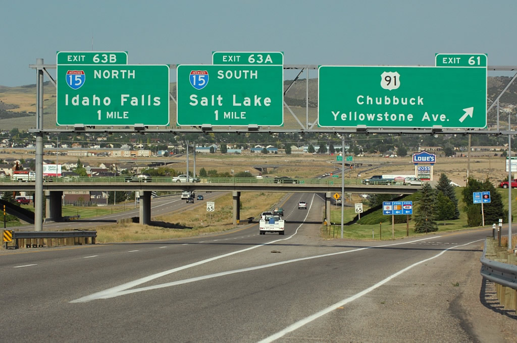
One mile west of Interstate 15 at the previous diamond interchange (Exit 61) with U.S. 91 (Yellowstone Highway) to Chubbuck and Pocatello. Photo by Jeff Royston (07/11/07).
North at
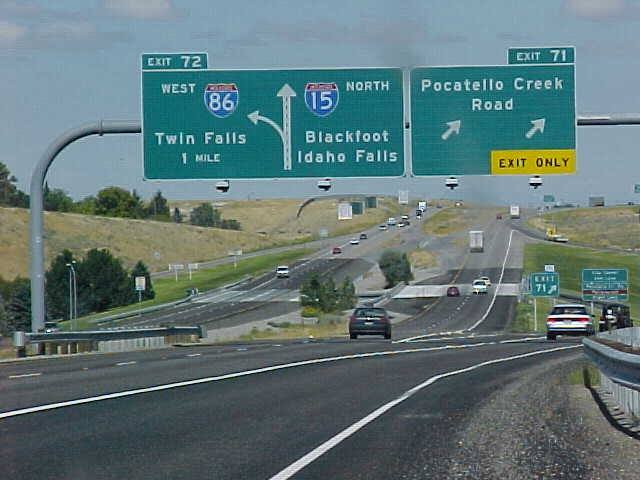
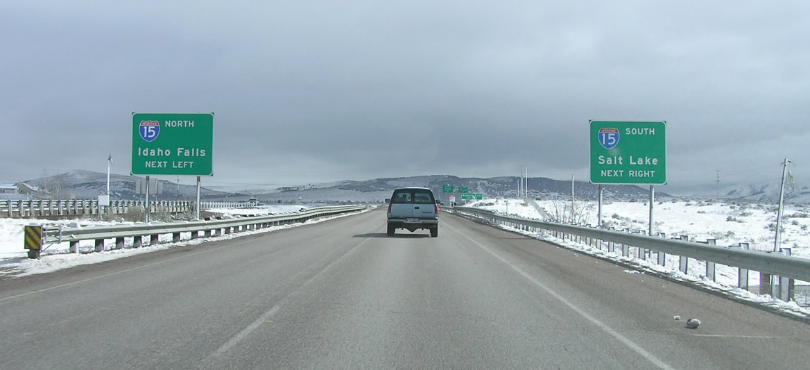
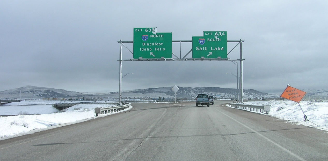
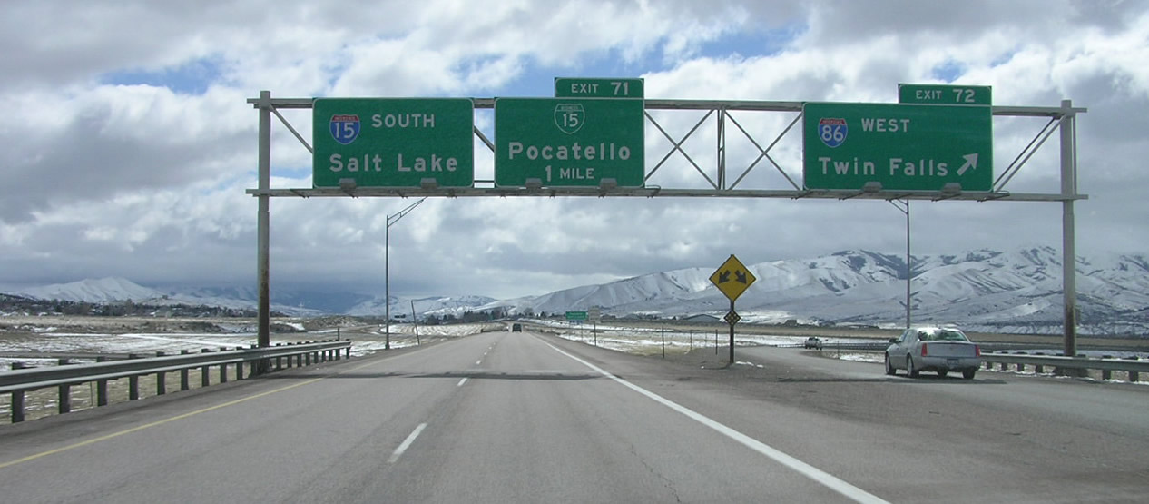
One mile south of I-86 on I-15 north at Exit 71 in Pocatello. Photo by Kelly G. Kawamoto (08/00).
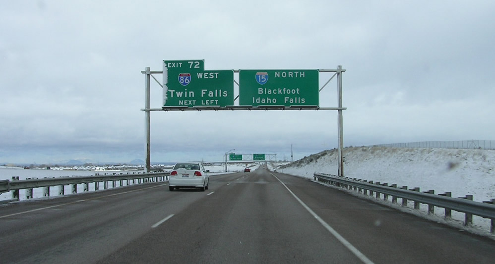
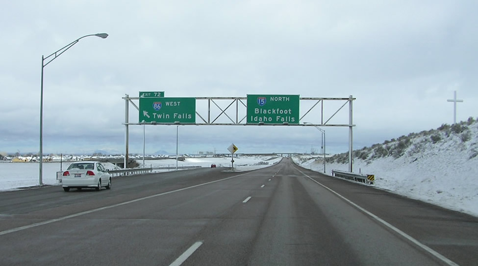
South at
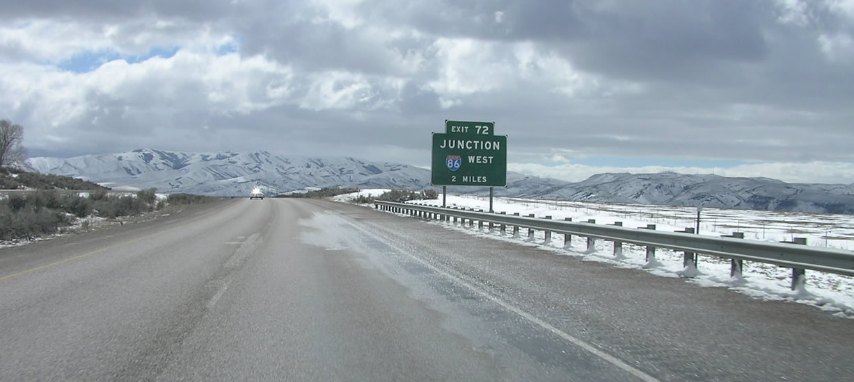
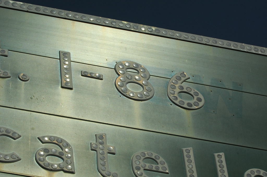
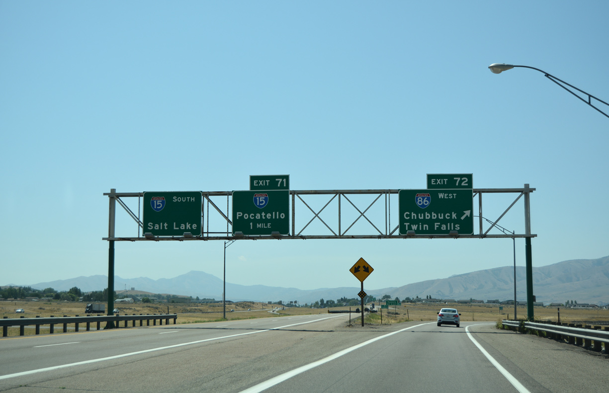
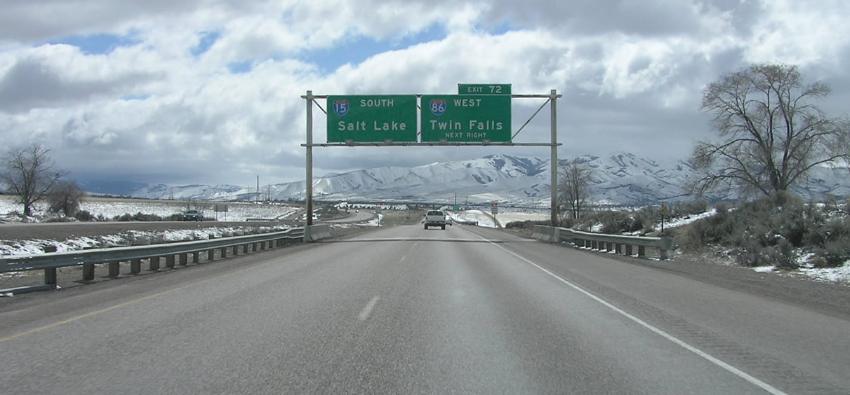
Former button copy sign posted two miles ahead of Interstate 86 west (Exit 72). Photo by Chris Elbert (03/06).
West End  ‐ near Declo, ID
 West at
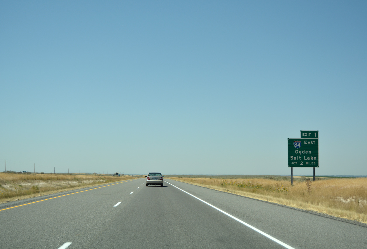
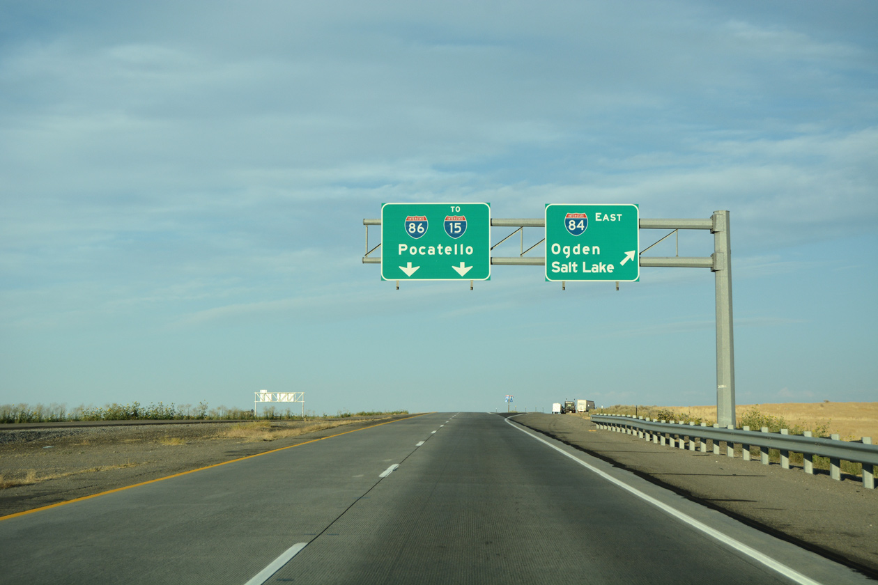
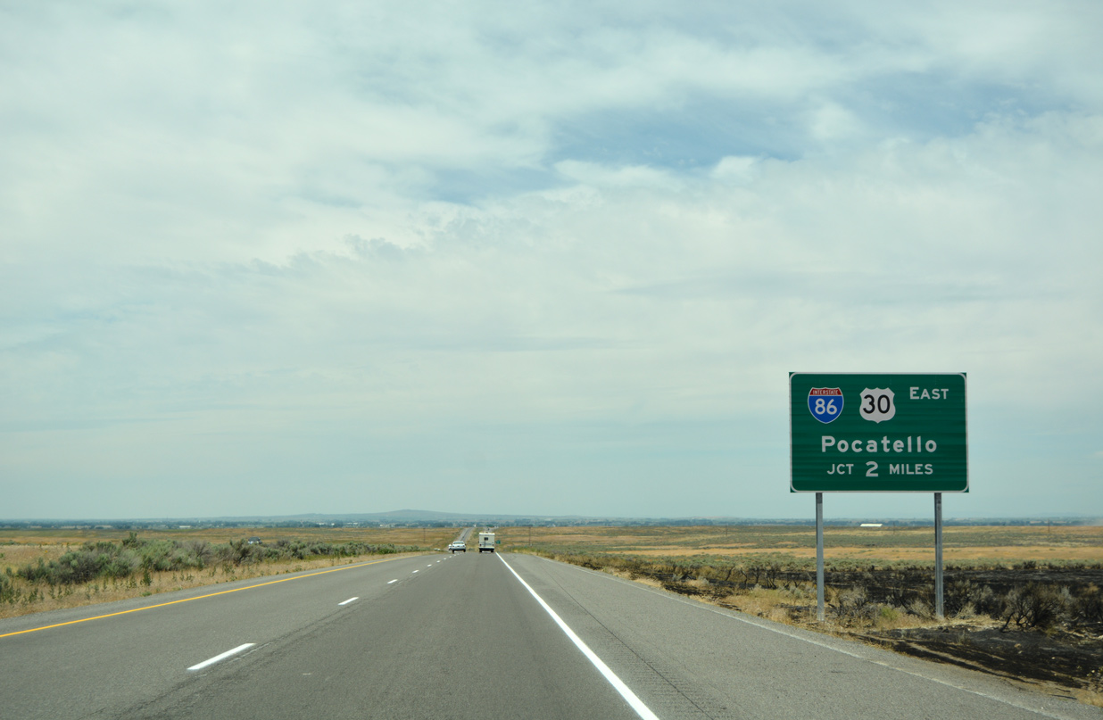
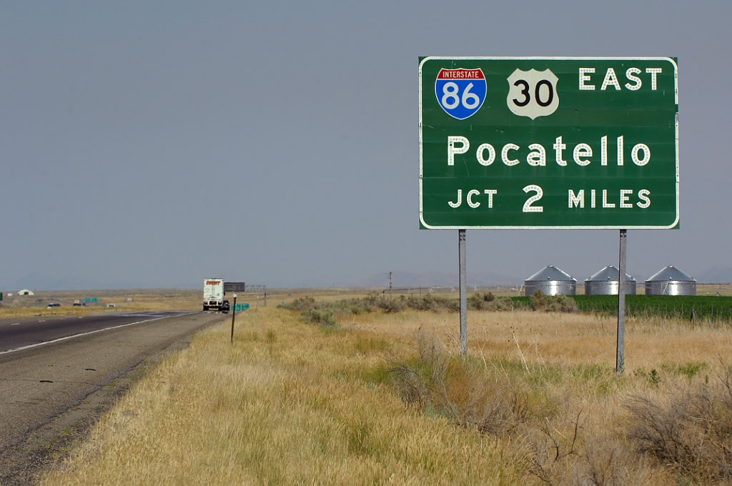
Westbound Interstate 86/U.S. 30 converges with I-84 in a remote area of Cassia County in two miles. 08/09/16
East at
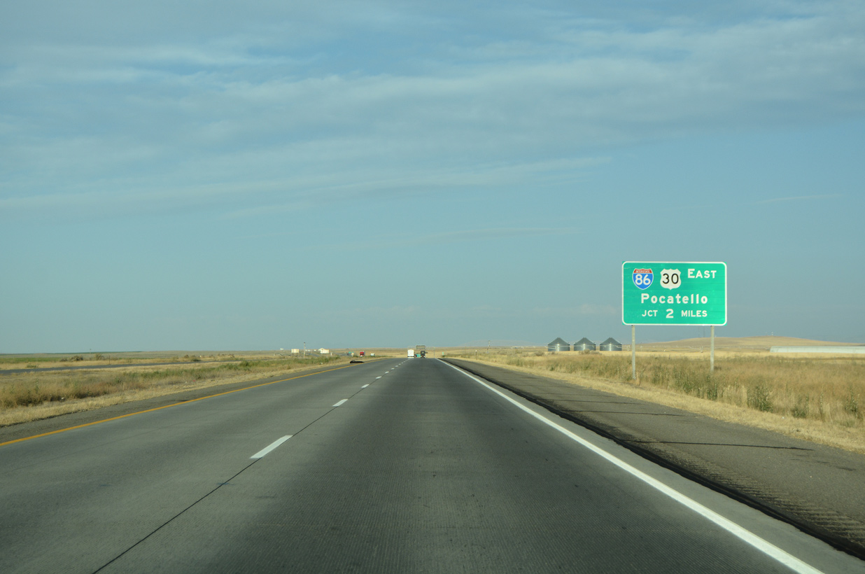
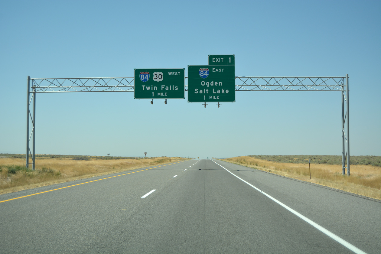
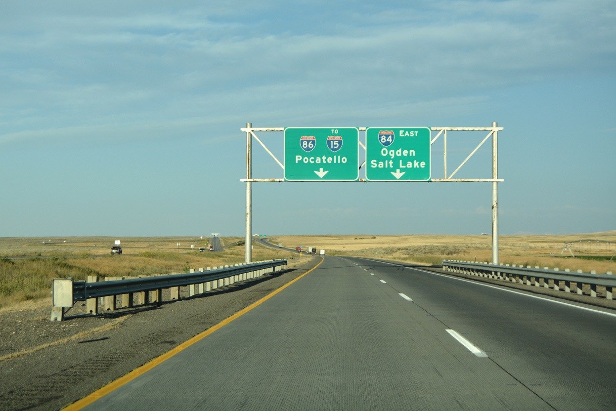
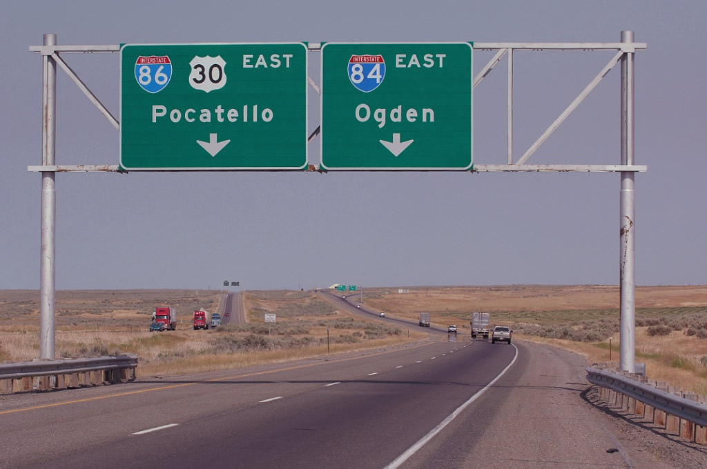
Interstate 84/U.S. 30 proceed east toward I-86 from agricultural areas in the Snake River Valley in rural Cassia County. 08/09/16
West at
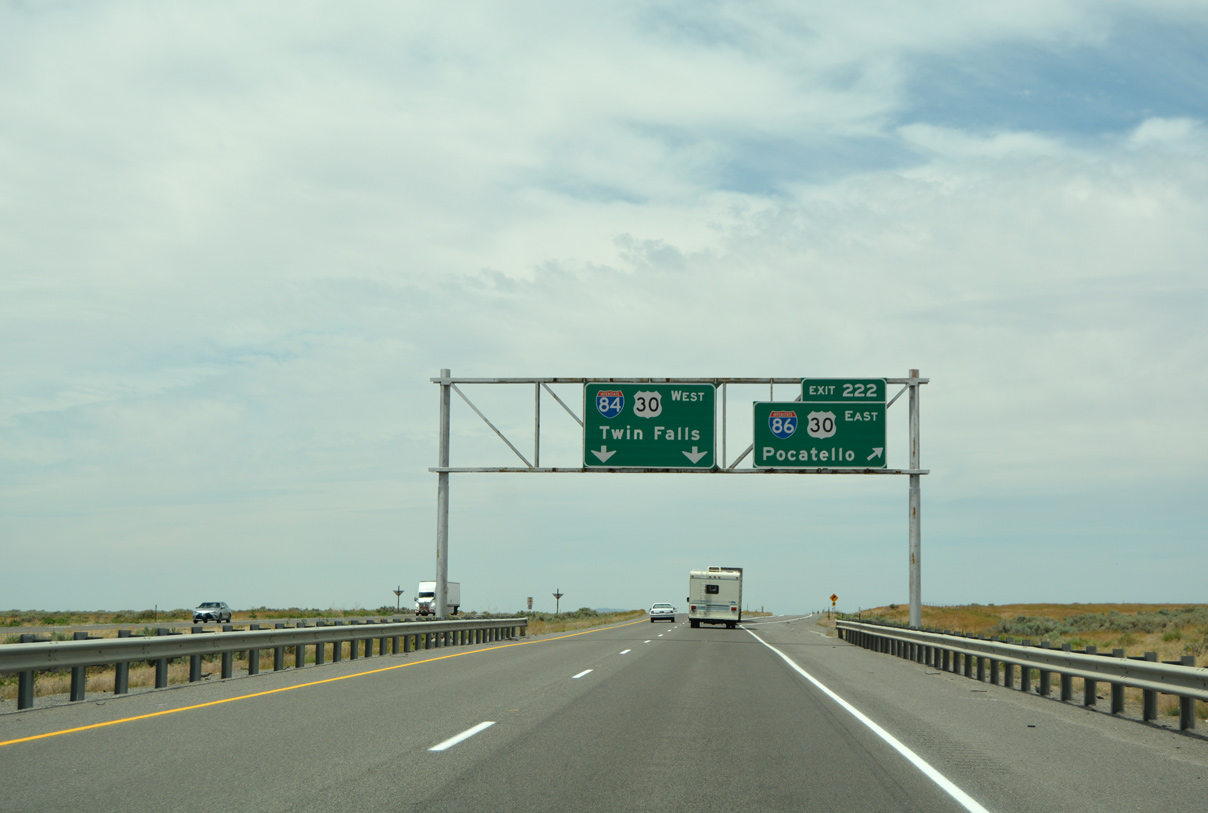
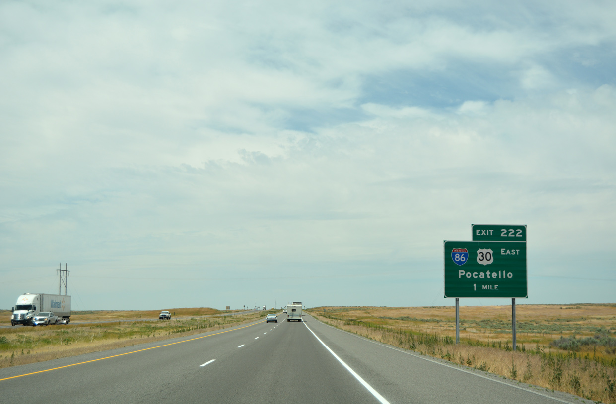
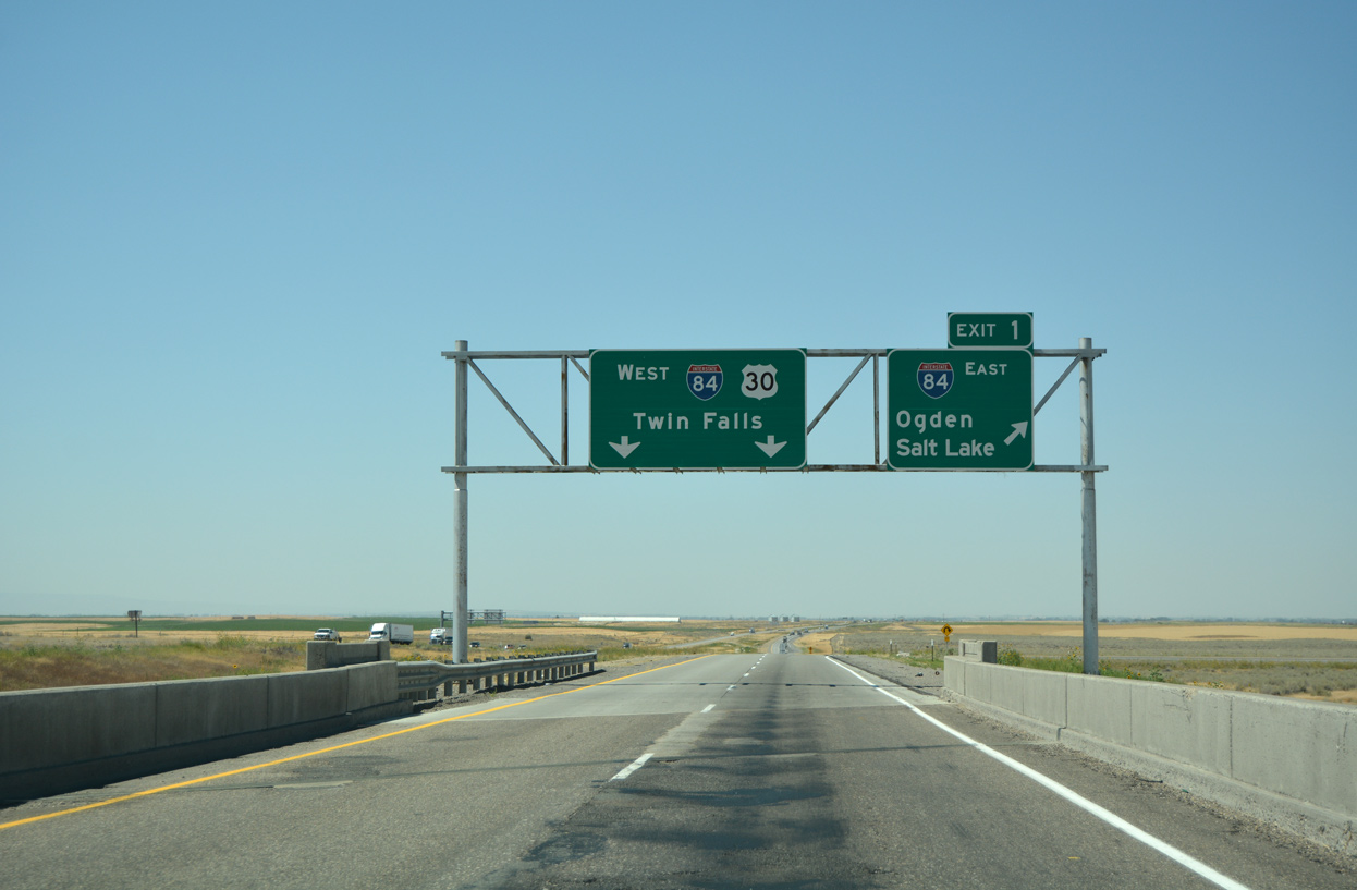
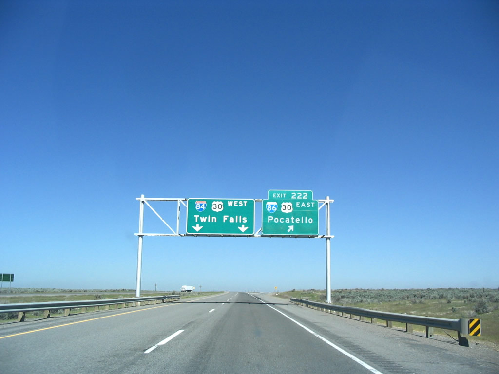
The first guide sign for Interstate 86 and U.S. 30 (Exit 222) appears two miles out along I-84 westbound. 07/05/16
West End – Past Views
Past Views Gallery (Tap to Expand / Collapse Section)
at
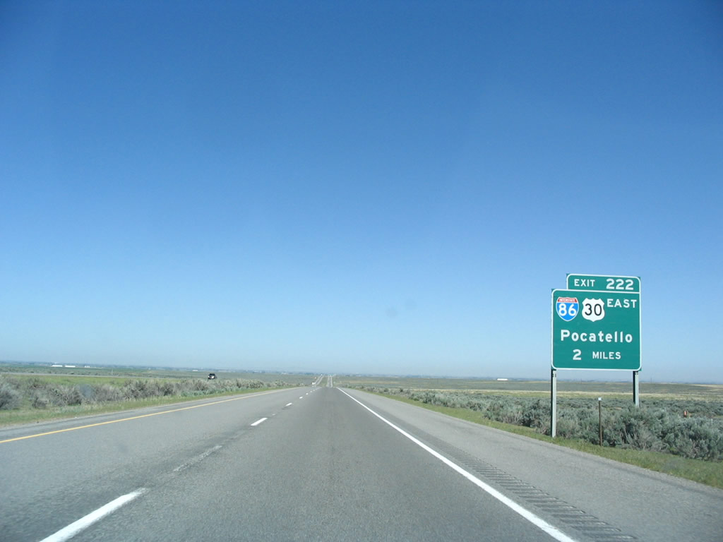
The replacement of the two mile sign for I-86/US 30 on I-84 west did not include an exit tab. Photo by Steve Hanudel (05/17/06).
References
- Interstate 80 to become 84. (1977, August 13). The Deseret News.
- Idaho Transportation Department (ITD). I-84/86: Salt Lake City Interchange. Retrieved from https://itdprojects.org/projects/i-84-86-salt-lake-city-interchange/
- ITD planning I-84/86 interchange modernization. (2017, September 12). KMVT TV-11. Retrieved from https://www.kmvt.com/content/news/ITD-planning-I-84I-86-interchange-modernization-444085603.html
- Idaho Transportation Department (ITD). I-15 Northgate Interchange. Retrieved from https://itdprojects.org/projects/i-15_northgate/
- Johnson, Z. (2025, July 18). I-86/I-15 System Interchange. Idaho Department of Transportation (ITD). Retrieved from https://itdprojects.idaho.gov/pages/i-86i-15-system-interchange