
Interstate 630 Arkansas
Overview
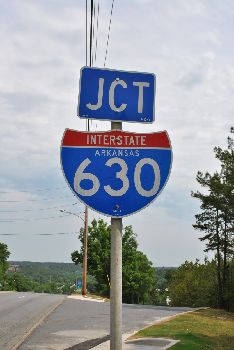
Interstate 630 stretches across the city of Little Rock from the western suburbs to University Park, Forest Hills, Capital View and Downtown. The western end is the Big Rock Interchange, named for a large rock formation unearthed during 2009-15 reconstruction of the exchange with I-430 and Chenal Parkway. The eastern terminus at I-30 and 15th Street lies between MacArthur Park and the Hanger Hill Historic District. An 880 foot long viaduct spans the Union Pacific (UP) Railroad, Thayer and Rice Streets at Capitol Hill. East from there, I-630 drops below grade to the south of the Arkansas State Capitol.
Mileage by State
| Arkansas | 7.87 mi |
Data Sources
December 31, 2025 Interstate Route Log and Finders List
History
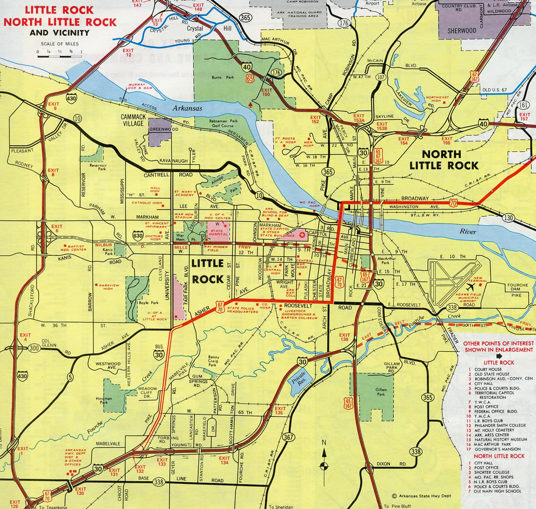
Interstate 630 (Wilbur D. Mills Freeway) was constructed along the proposed alignment of the "Eighth Street Expressway."1 Construction began in the 1960s, with the initial section completed between Cedar/Pine Streets and the viaduct across the UP Railroad by 1971. The succeeding segment extended I-630 west to University Avenue by 1976.
The eastern end of I-630 temporarily connected with Maryland Avenue / 9th Street east and 8th Street west at Park Street in the Capital Hill neighborhood. 8th Street constituted a one-way, westbound street with three lanes. 9th Street flowed eastbound with three lanes one block to the south. The couplet carried the bulk of traffic to Interstate 30. Construction of I-630 directly replaced a portion of 8th Street east from Park Street. Bridges spanning the two mile stretch between Park Street and I-30 were date stamped in 1979 or 1980.2
When Interstate 630 was built west from University Avenue to I-430 at Shackleford Road, the freeway concluded at a signalized T-intersection across from a stand of trees. Financial Centre Parkway and the two office complexes that make up Financial Centre west of Shackleford Road were yet to be built.3
When Financial Centre was developed in the early 1980s, a short segment of Financial Centre Parkway opened west from I-630 and Shackleford Road. The extension west to Rock Creek Parkway (since renamed Chenal Parkway) was built by the early 1990s. Chenal Parkway was eventually extended to Arkansas 10.3
Plans to modify the dangerous intersection at the west end of I-630 advanced during the 2005-2006 time frame.3 This led to the six-year long Big Rock Interchange project. $150-million in work upgraded the former cloverleaf interchange between I-430 and I-630 with new flyover ramps while adding overpasses above Shackleford Road linking with Financial Centre Parkway.4 Additional work added collector distributor roadways along I-630 east to the interchange (Exit 7) for Baptist Health Medical Center. interchange along I-630 with new collector distributor roadways. Work wrapped up with a dedication ceremony held on July 8, 2015.5
East End 

 ‐ 15th Street – Little Rock, AR
 East at
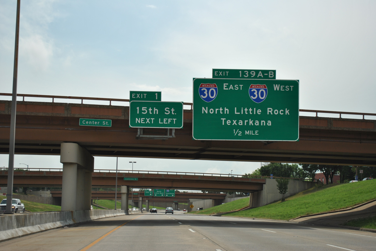
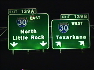
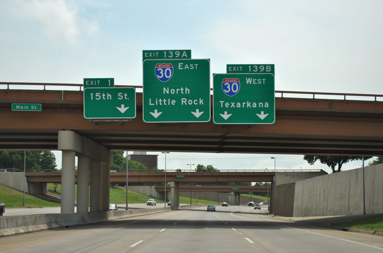
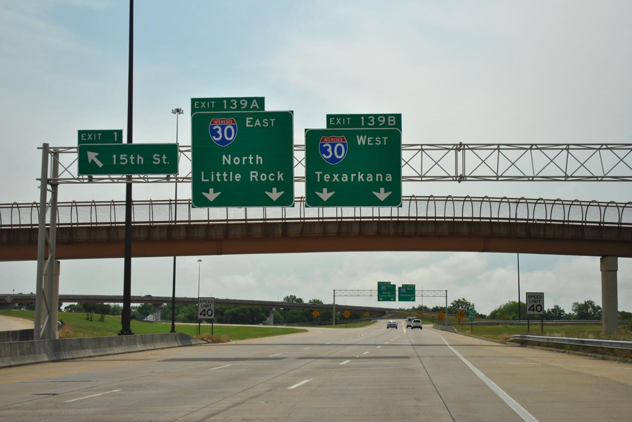
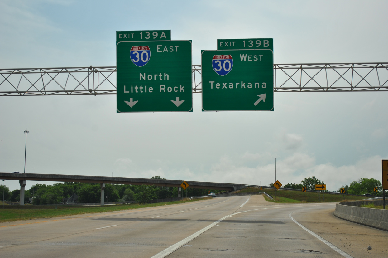
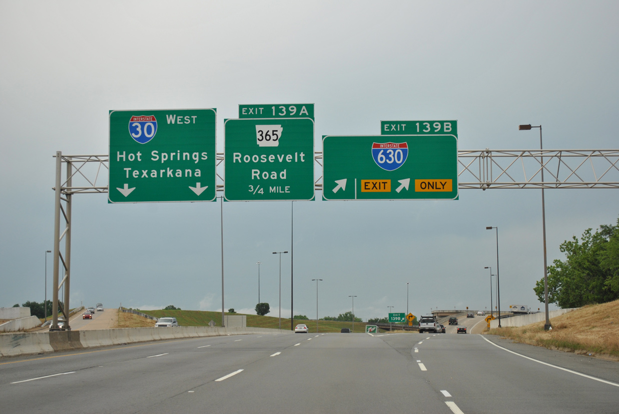
Interstate 630 (Wilbur D. Mills Freeway) navigates below the Downtown Little Rock street grid east to the multi level interchange with I-30 (Exit 139) and 15th Street (Exit 1). 05/07/12
East North at
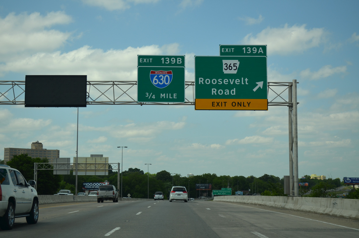
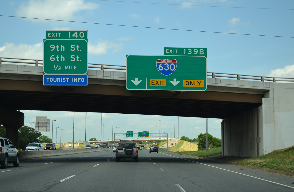
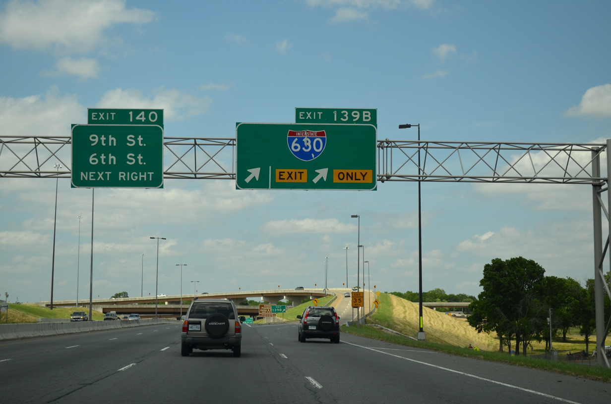
Traveling north from the systems interchange with I-440 (East Belt Freeway) and I-530, Interstate 30 combines with U.S. 65/167 to AR 365 (Roosevelt Road) and Downtown Little Rock. 05/07/12
West South at
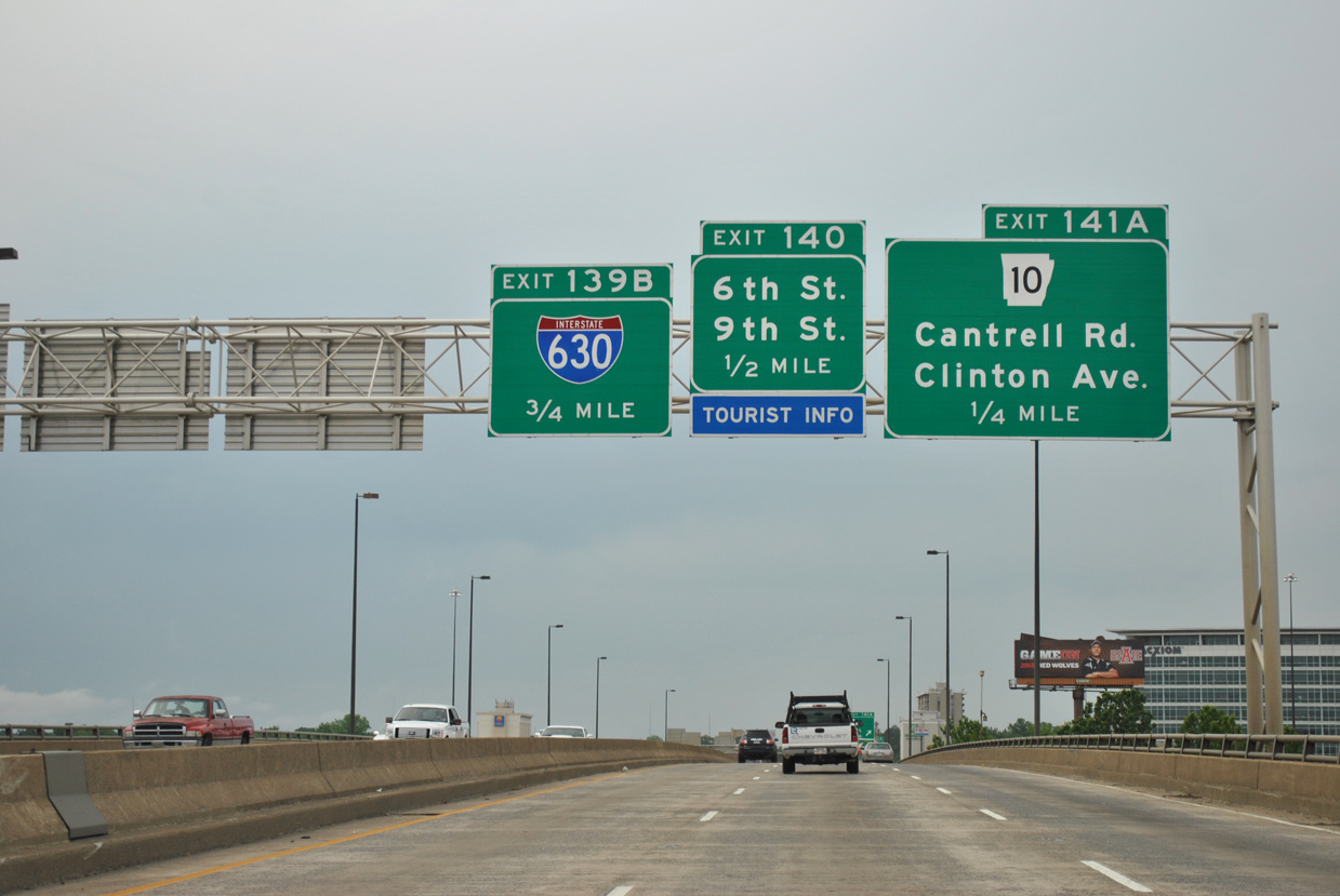
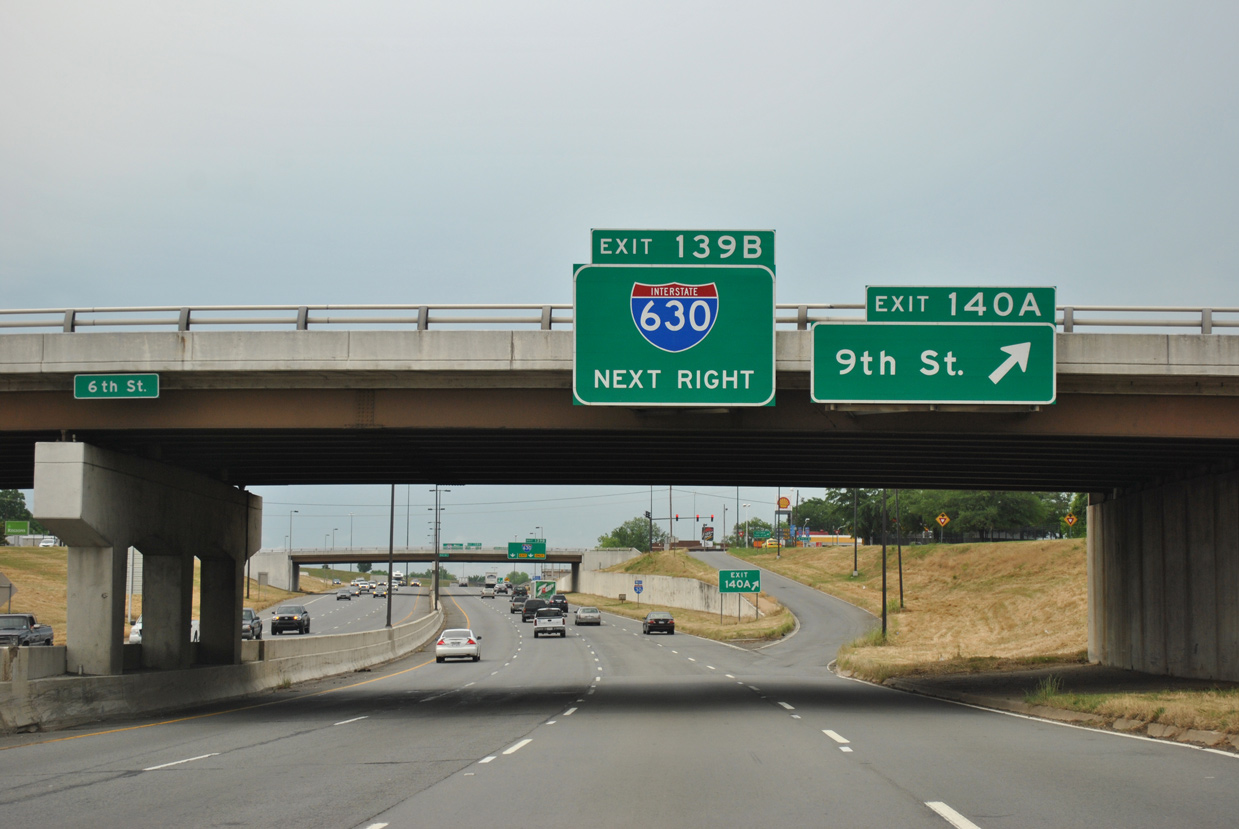
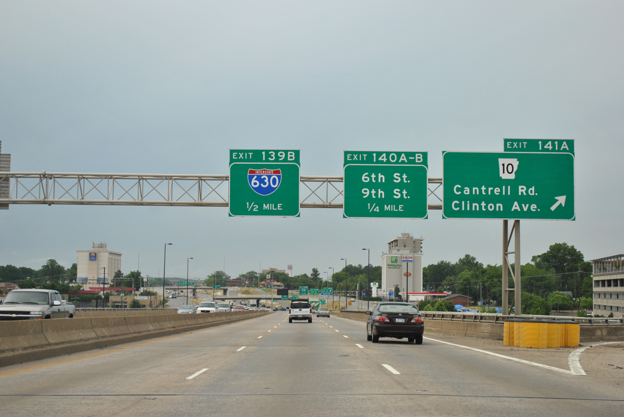
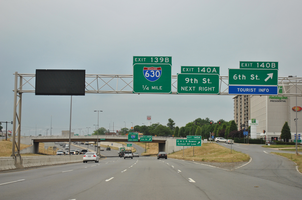
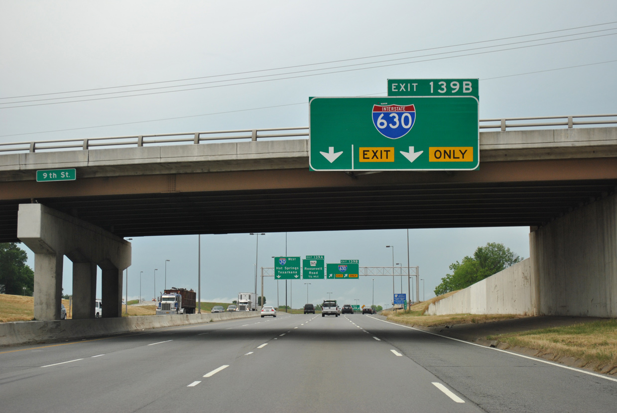
Interstate 30 westbound crosses the Arkansas River from North Little Rock ahead of the first of three Downtown Little Rock interchanges (Exit 141A). 05/07/12
West End  ‐ at Financial Centre Pkwy and Shackleford Rd – Little Rock, AR
West at
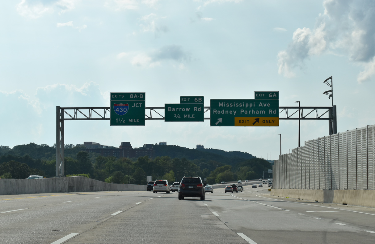
Interstate 630 extends two miles west from the parclo interchange (Exit 6A) with Mississippi Avenue north and Rodney Parham to Financial Centre Parkway. 09/09/20
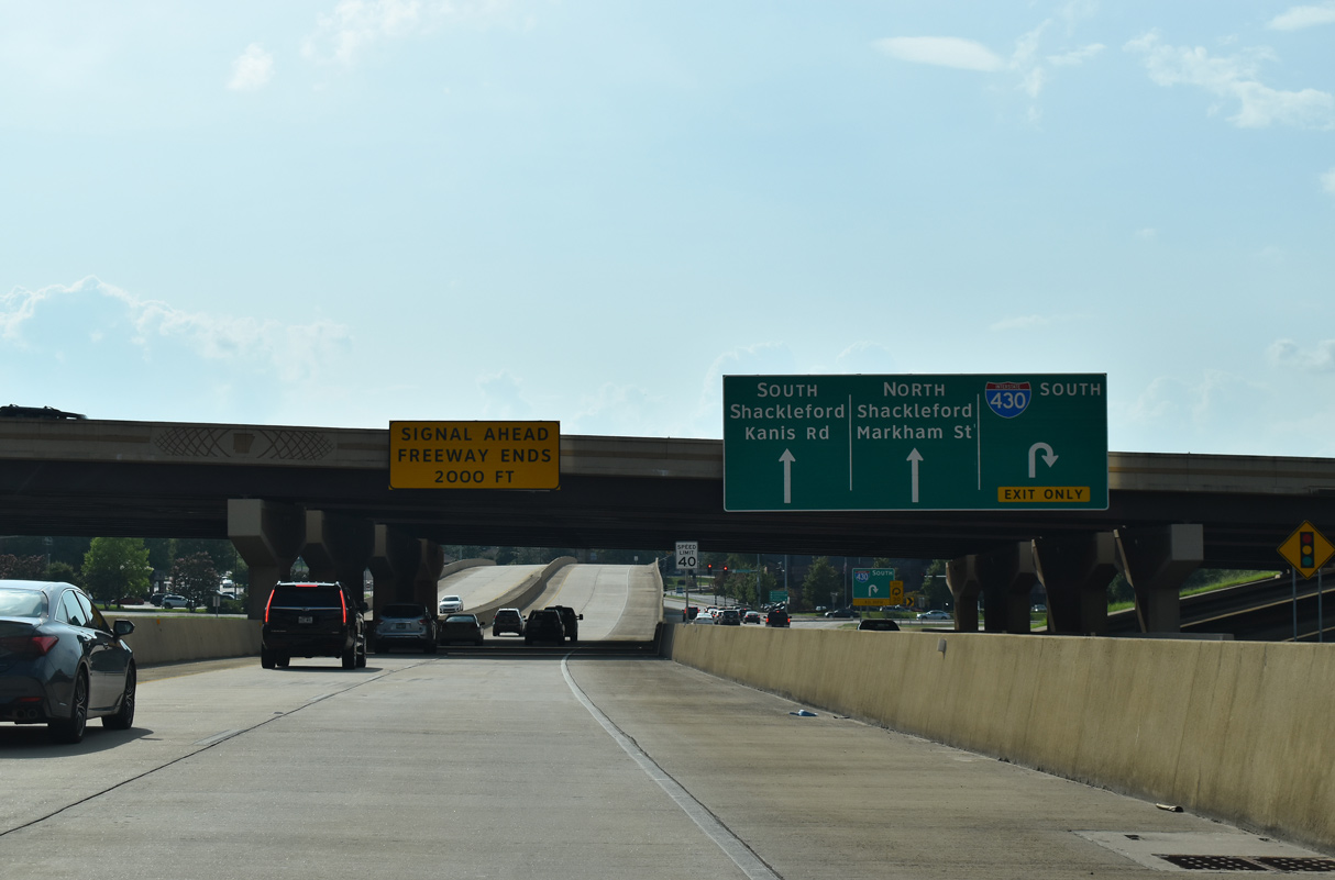
North at
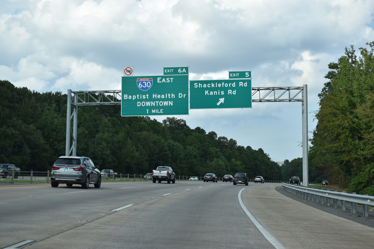
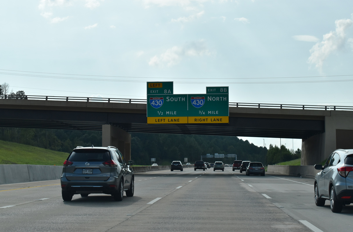
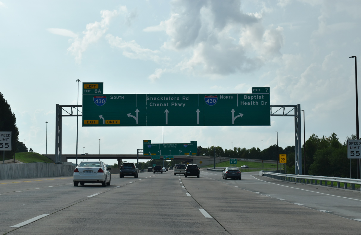
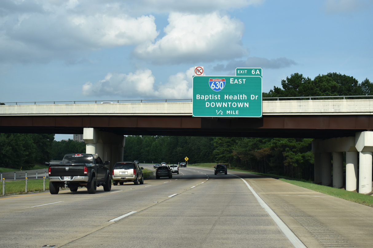
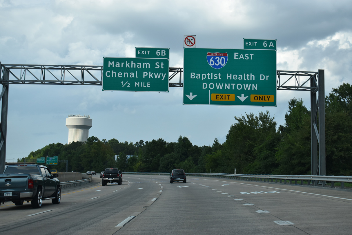
Interstate 430 shifts east through an S-curve through the exchange (Exit 5) with Shackleford Road leading north to the cloverstack interchange (Exit 6A) with I-630 east and Financial Centre Parkway west. 09/09/20
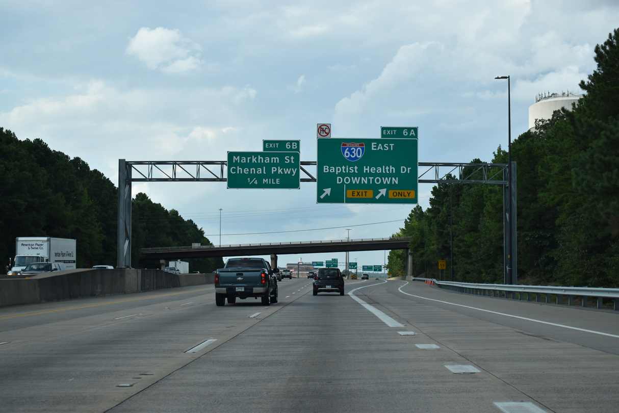
South at
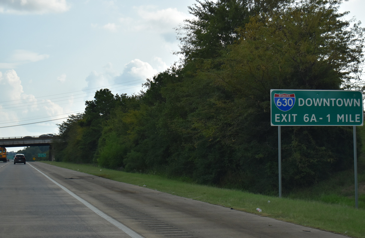
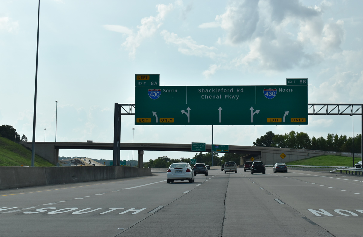
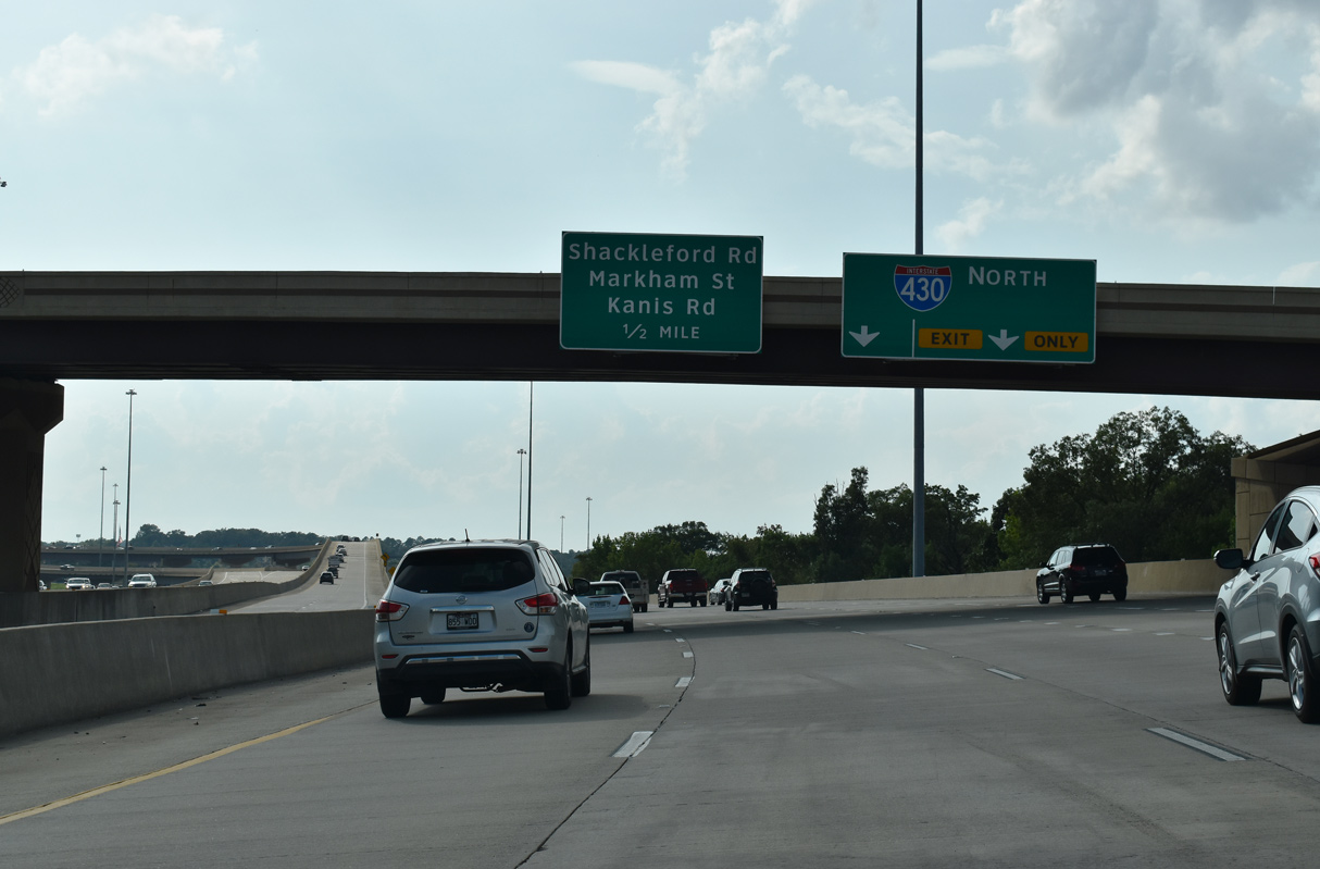
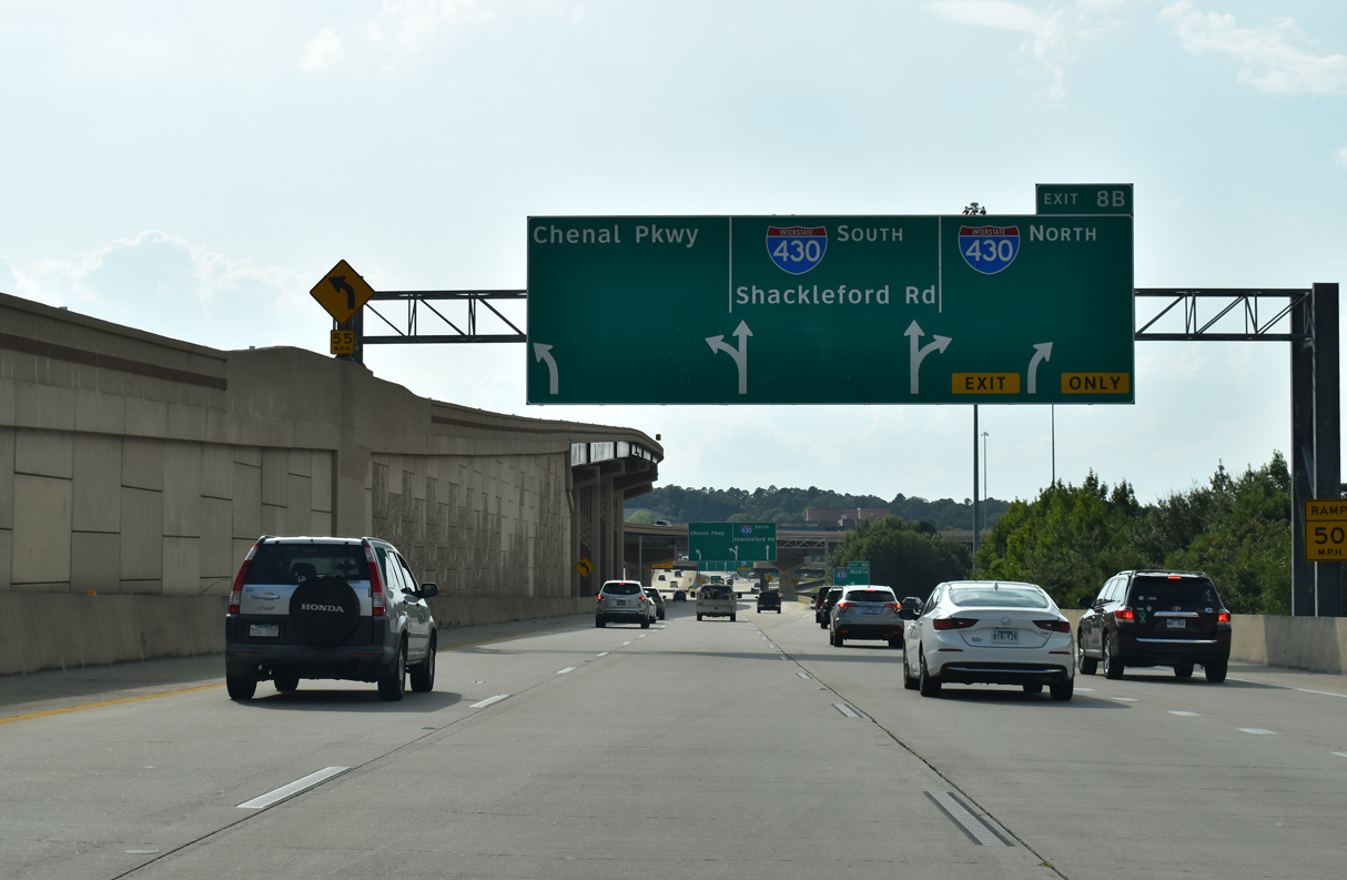
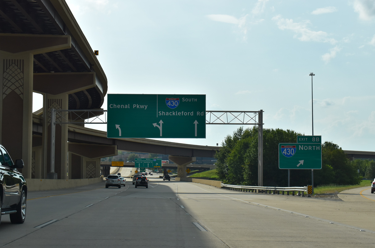
I-430 advances one mile south from the diamond interchange (Exit 7) with Rodney Parham Road to the Big Rock Interchange (Exit 8) with Interstate 630 (Wilbur D. Mills Freeway). 09/09/20
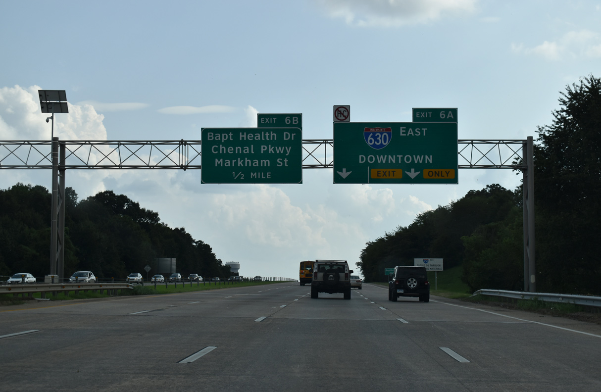
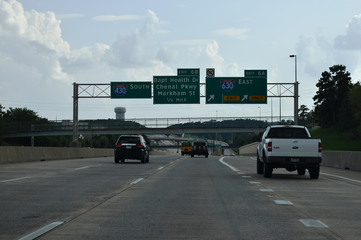
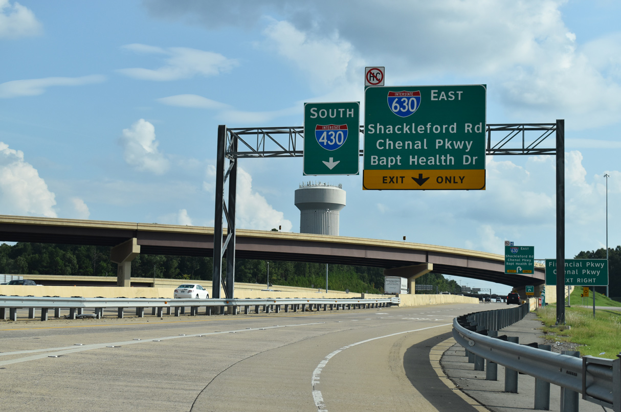
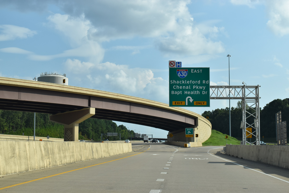
Financial Centre Pkwy – East at
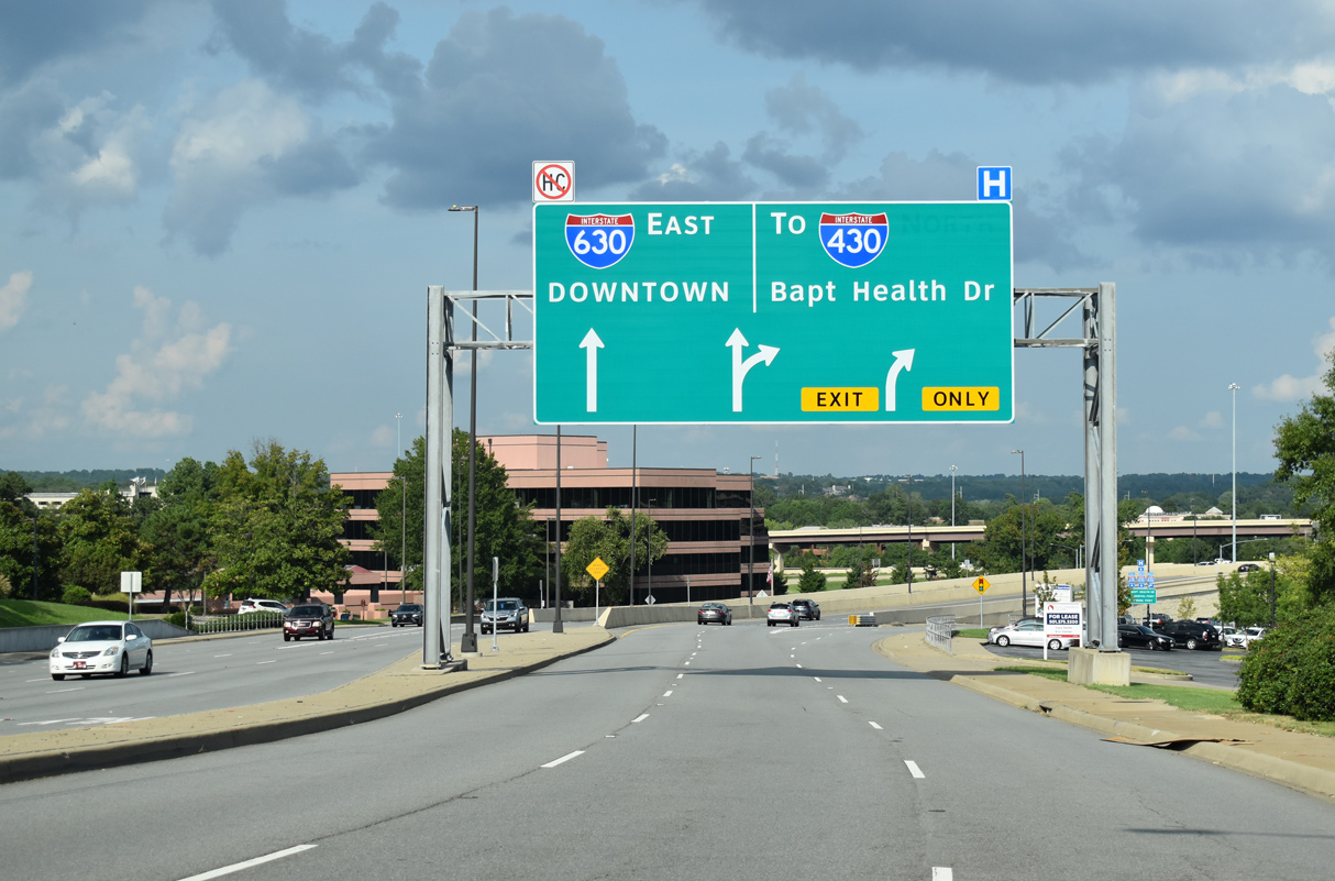
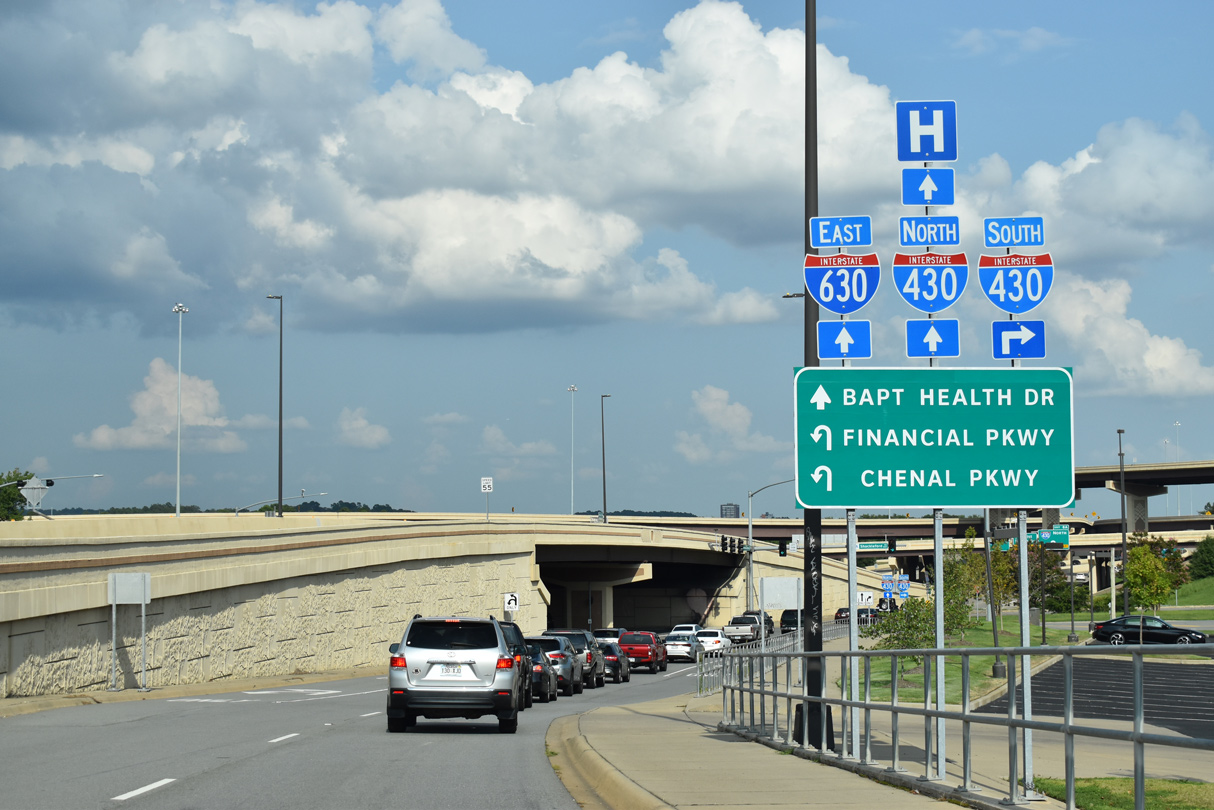
A heavily developed commercial arterial, Financial Centre Parkway extends Chenal parkway east from Autumn Road directly onto Interstate 630. 09/09/20
West End – Past Views
Past Views Gallery (Tap to Expand / Collapse Section)
West at
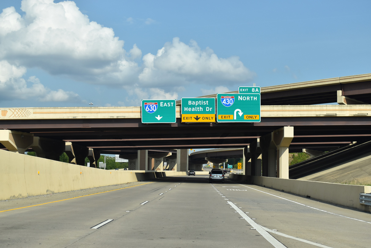
2018-20 construction expanded Interstate 630 to eight overall lanes west from University Avenue to I-430. 05/07/12
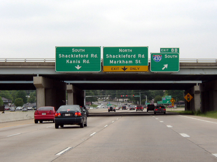
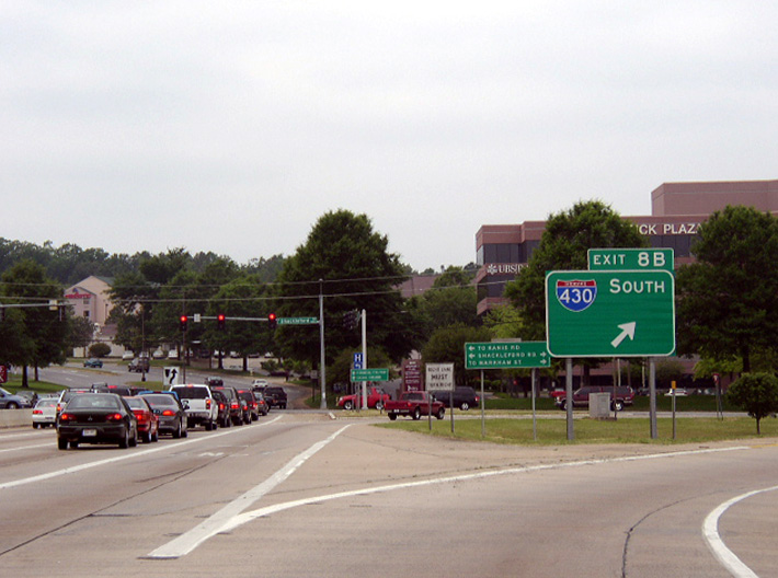
North at
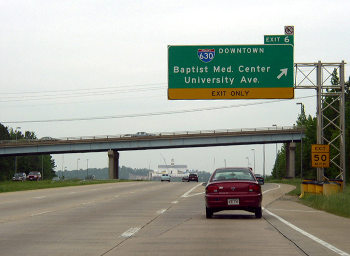
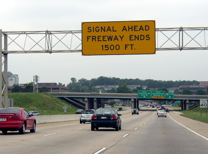
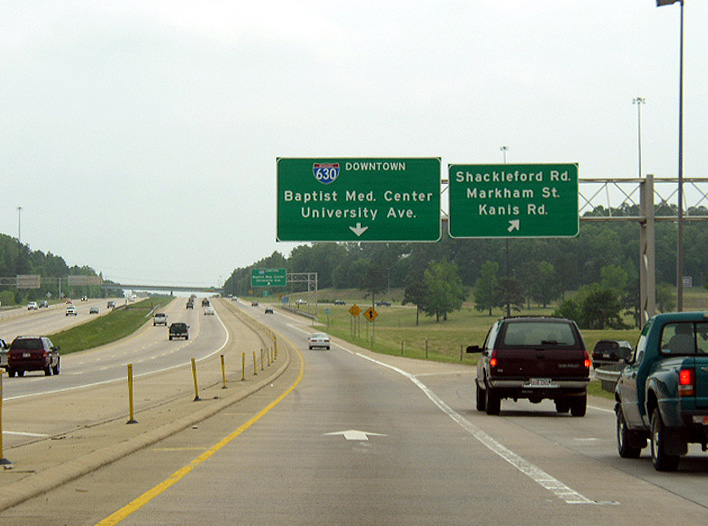
The original c/d roadway for I-630 and Financial Centre Parkway separated from Interstate 430 north at the Kanis Road overpass. Photo by Chris Patriarca (05/03/03).
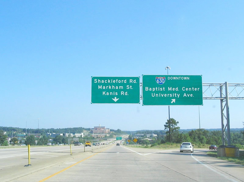
South at
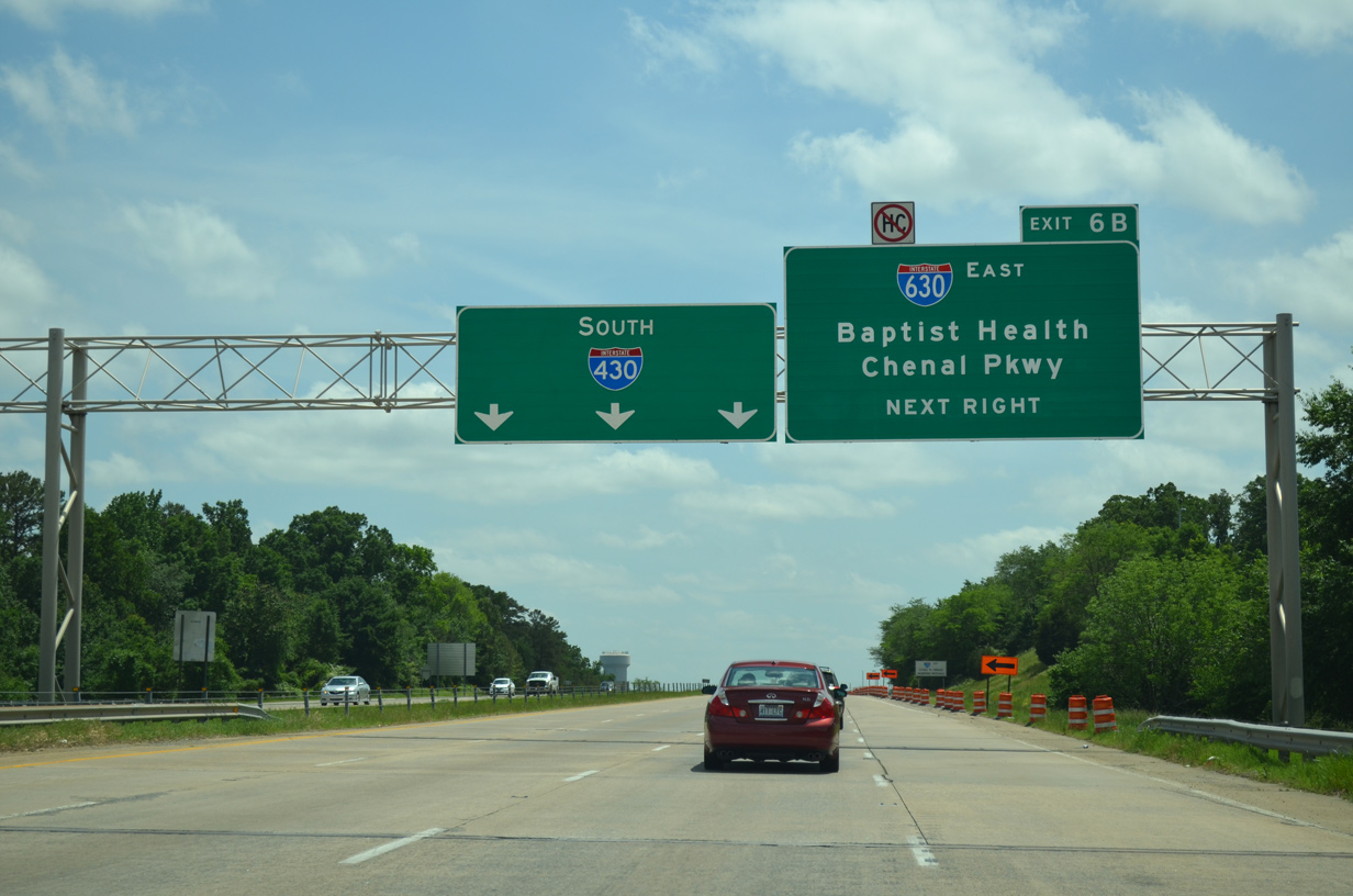
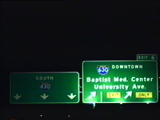
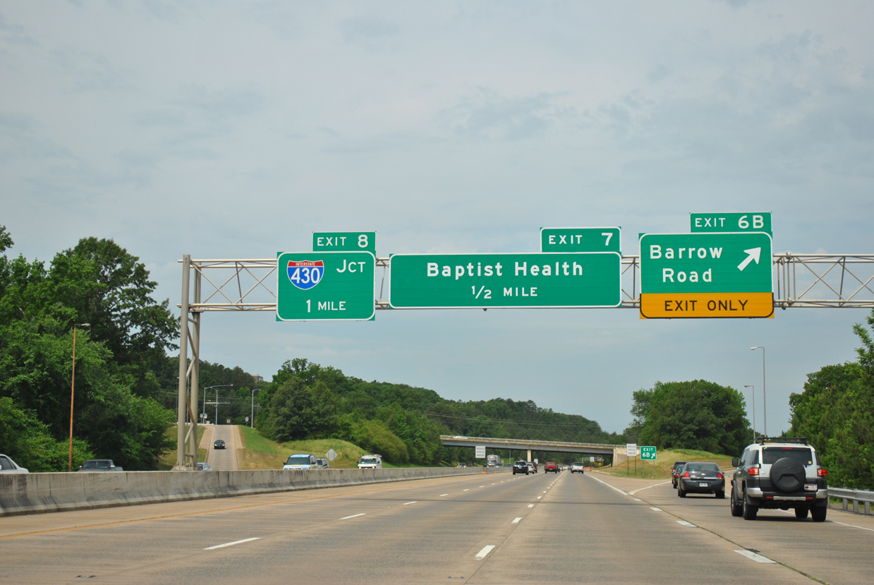
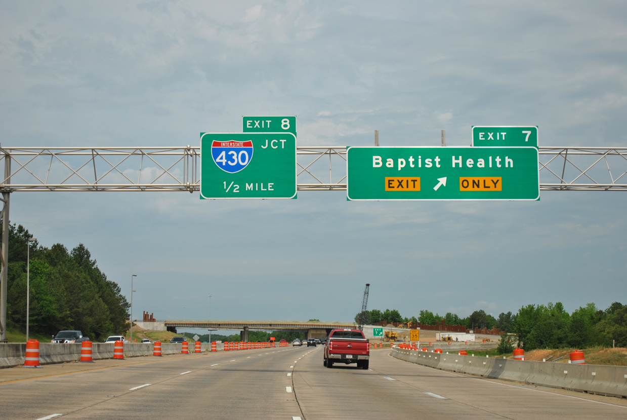
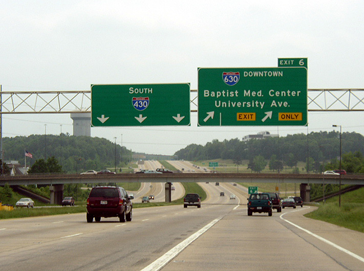
Previous guide signs for Interstate 630 referenced Baptist Health (Medical Center) and Chenal Parkway. The ramp for I-630 was renumbered to Exit 6A. 05/20/14
References
- Little Rock Realtors Association. History. which states: "In the early 60's [Little Rock Realtor Association] Board Committees worked with the [Arkansas] Highway Department to minimize the problems associated with the widening of Highway #10, and worked with the City of Little Rock to provide appraisers needed to appraise properties along the proposed 8th Street Expressway (now known as I-630)." Retrieved from http://www.littlerockrealtorsassoc.com/history.htm
- Price, John; Personel Email, "I-630 Little Rock" (03/24/06)
- Price, John; Personal Email, "RE: I-30 Little Rock/Benton 3-lane nears completion" (03/24/06)
- Arkansas Department of Transportation (ARDOT). Big Rock Interchange Fact Sheet. Retrieved from http://arkansashighways.com/430_630_Project/Facts_7_8_15.pdf
- Big Rock Interchange dedicated. (2015, July 8). Arkansas Democrat Gazette.