
Interstate 605 California
Overview
A well traveled route through the communities east of the city of Los Angeles, Interstate 605 is the San Gabriel River Freeway. The freeway originates at the exchange joining SR 22 east from Long Beach with I-405 (San Diego Freeway) at Seal Beach. Overhead signs along the route omit control cities and instead read "Thru Traffic." With eight to ten overall lanes, I-605 runs north from Los Alamitos and Lakewood to Cerritos, Bellflower, Norwalk and Interstate 5 (Santa Ana Freeway) at Downey. Continuing northeast, the San Gabriel River Freeway extends between Pico Rivera and Whittier to Baldwin Park and I-210 (Foothill Freeway) at Duarte.
Mileage by State
| California | 27.97 mi |
Data Sources
December 31, 2025 Interstate Route Log and Finders List
History
Interstate 605 opened in stages between May 1964 and January 1971. The north end of I-605 angles northeast to I-210 at Irwindale. State Route 164 was proposed as a freeway connection linking I-605 to the northwest with I-210 via Rosemead Boulevard in 1965. Named the Rio Hondo Freeway, it was never built.1
Controversial plans called for a three mile extension of Interstate 605 south from I-405 and SR 22 to SR 1 in Seal Beach. Proposals for the route considered both freeway and toll road options. However, it was removed from consideration due to local opposition.
 ‐ Huntington Dr – Irwindale, CA
 North at
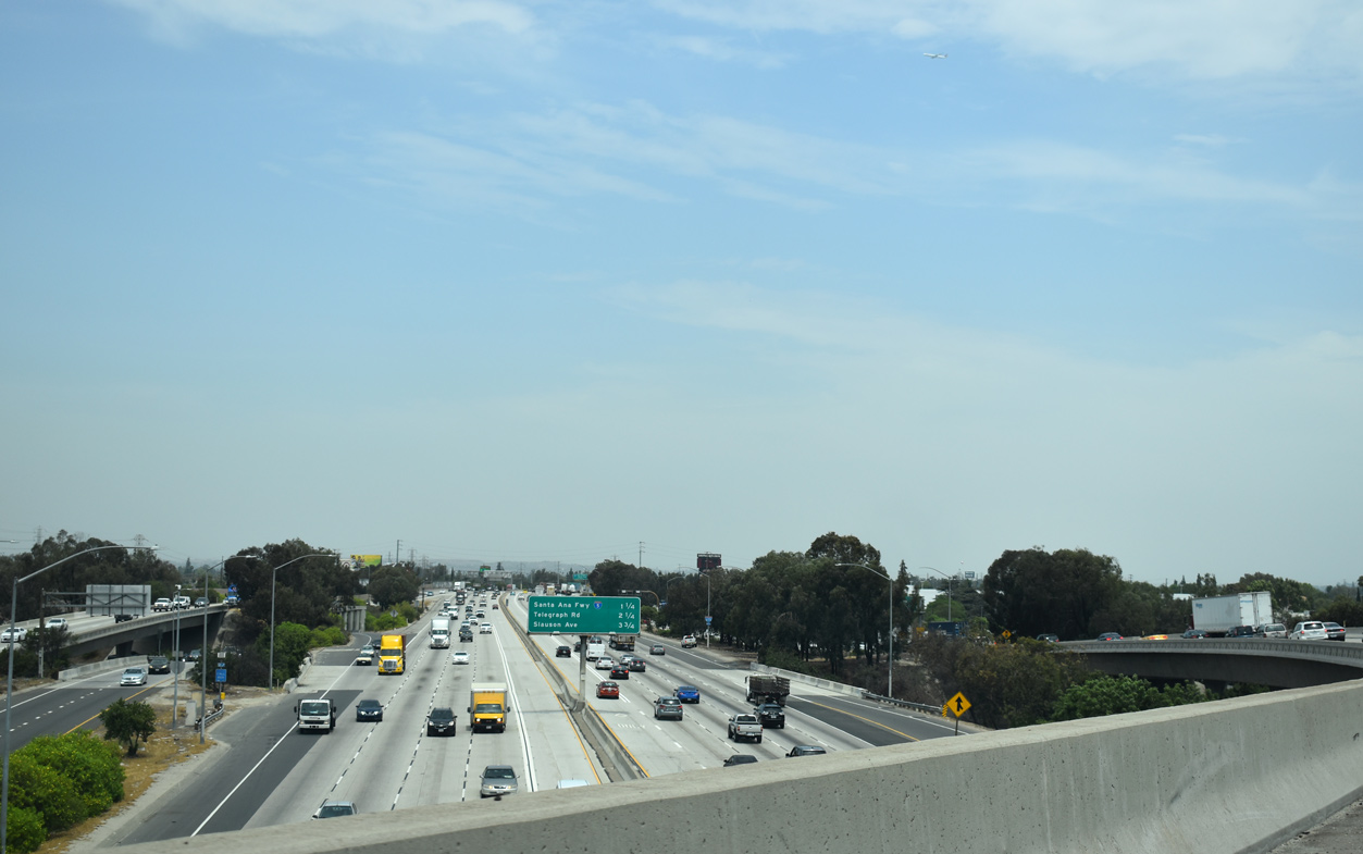
I-605 north at Live Oak Avenue. Interstate 605 skirts the San Gabriel River channel and flood control basins northward alongside a series of transmission lines to I-210 (Foothill Freeway). 07/15/09
East at
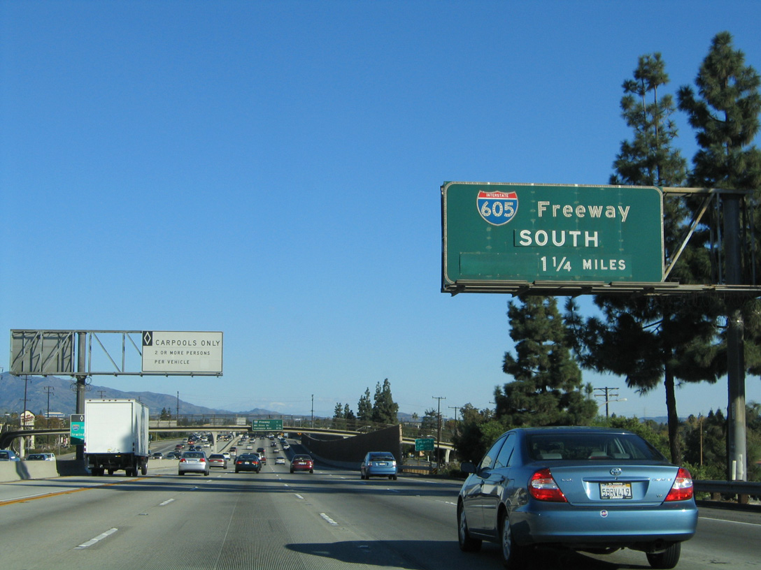
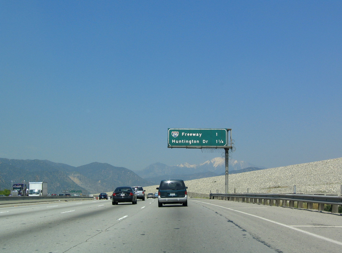
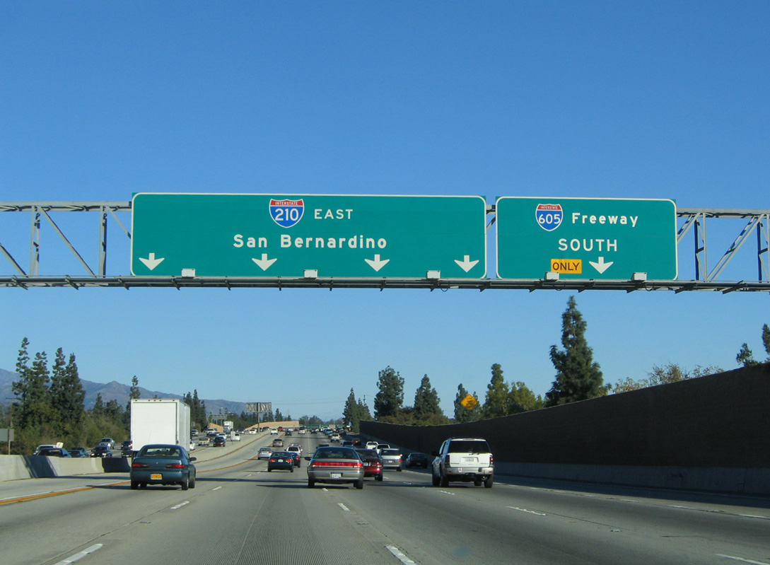
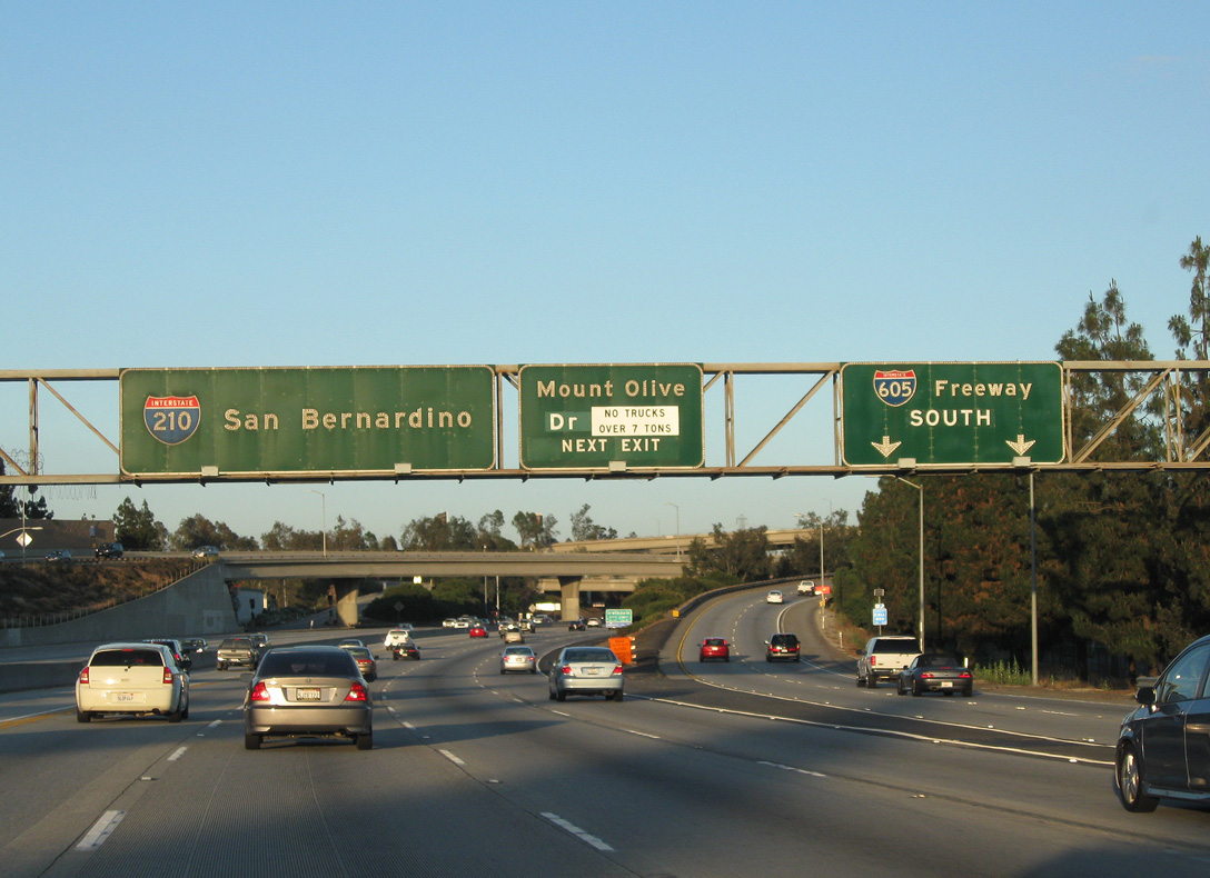
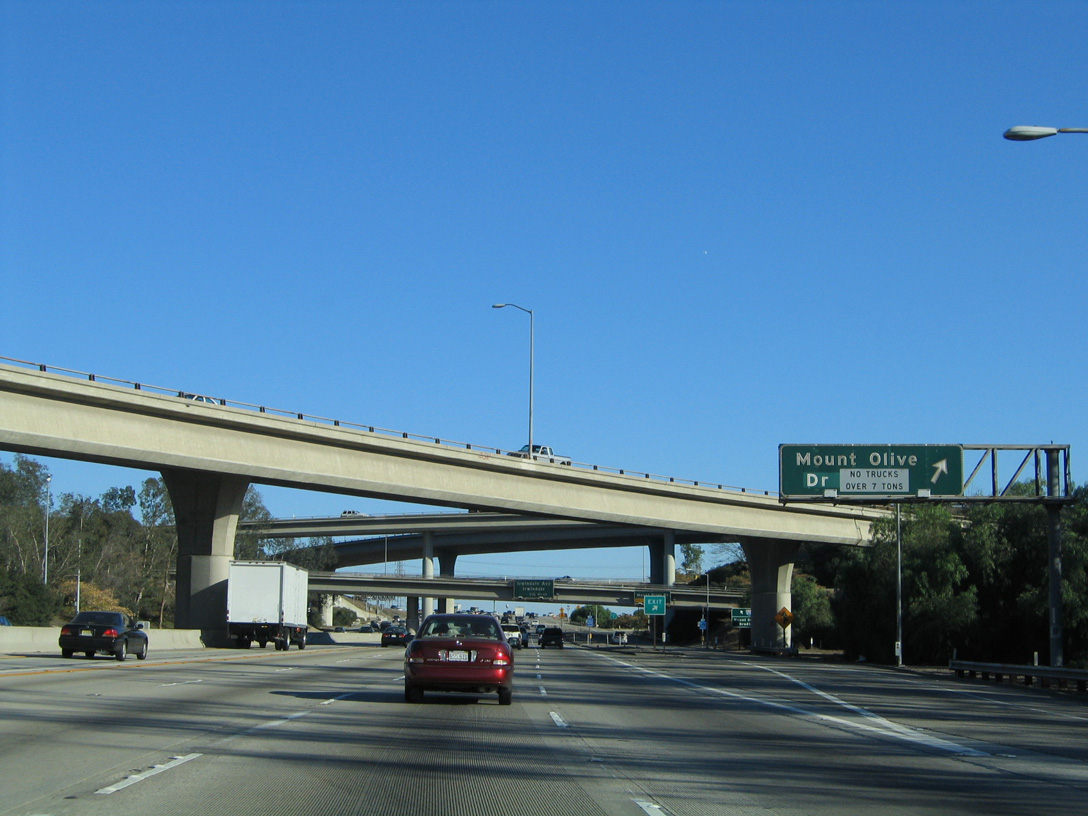
1.25 miles ahead of Exit 36 A for Interstate 605 (San Gabriel River Freeway) on I-210 eastbound. 11/14/04
West at
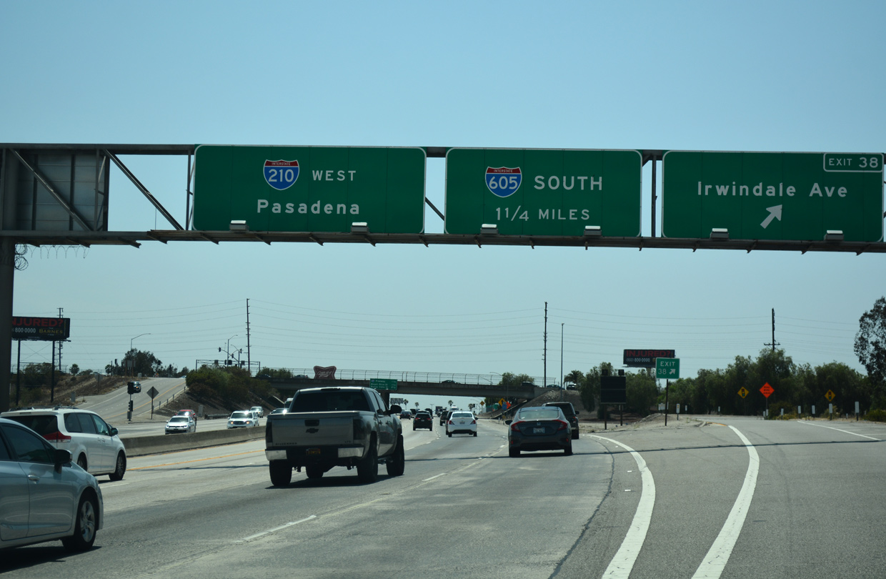
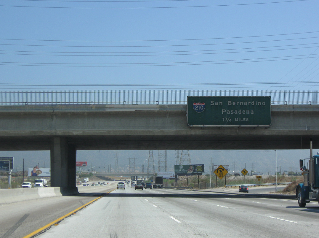
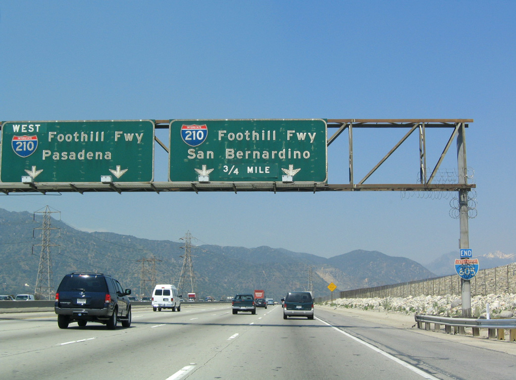
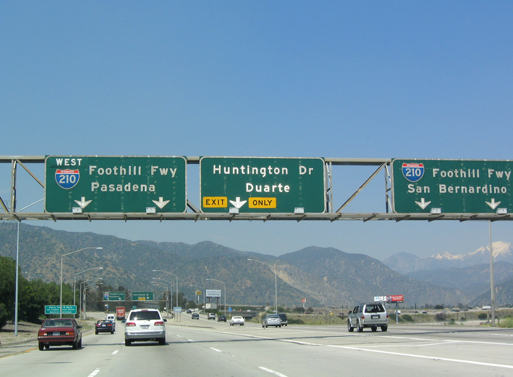
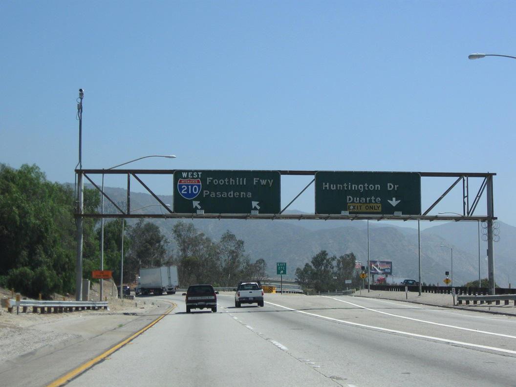
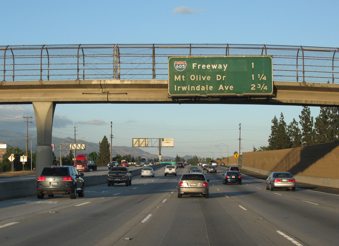
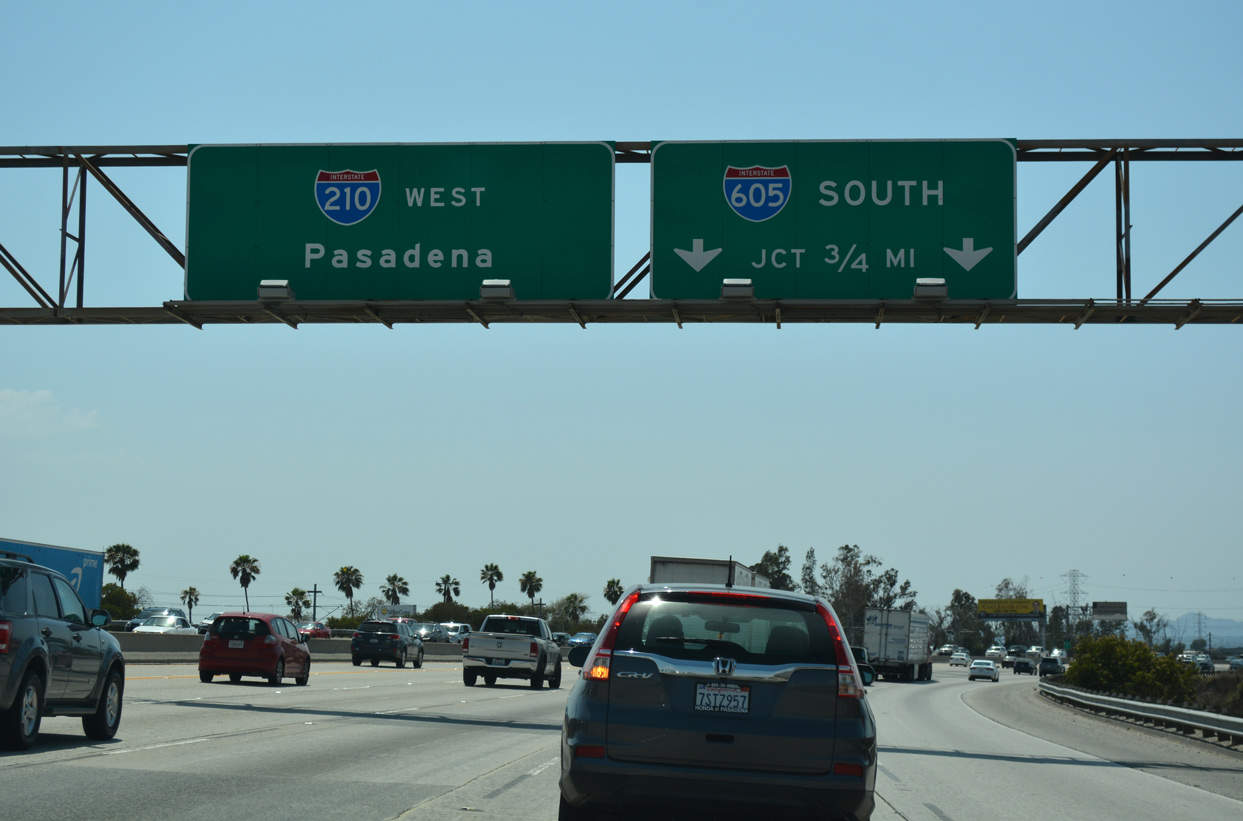
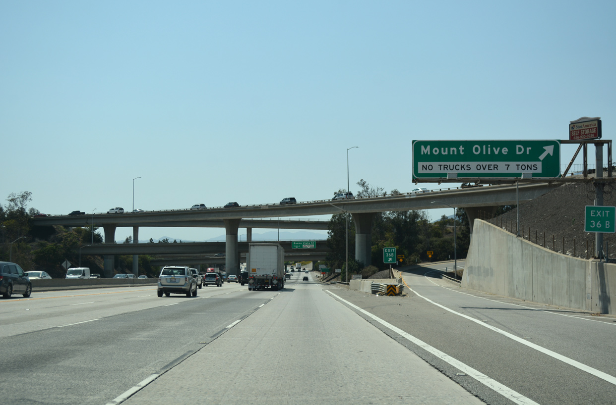
I-210 advances 1.25 miles west from Irwindale Avenue (Exit 38) to Interstate 605 (San Gabriel River Freeway) at Duarte. 07/08/18
Huntington Drive at
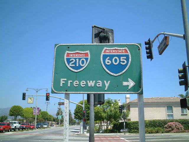
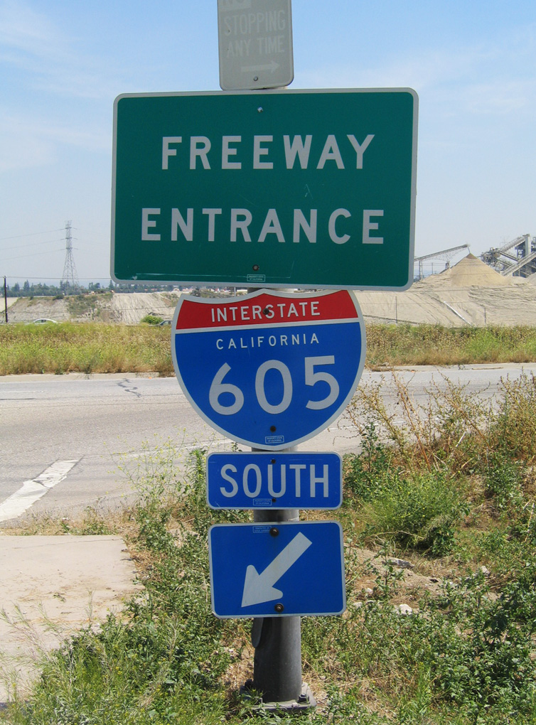
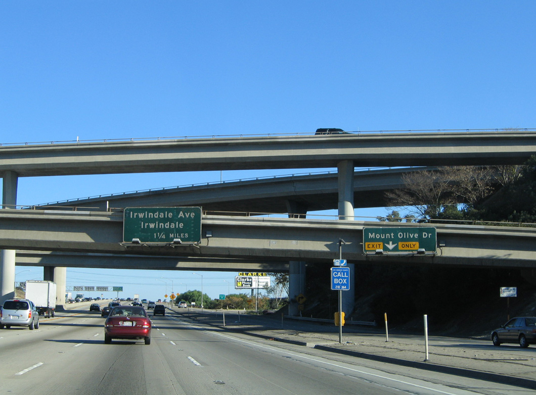
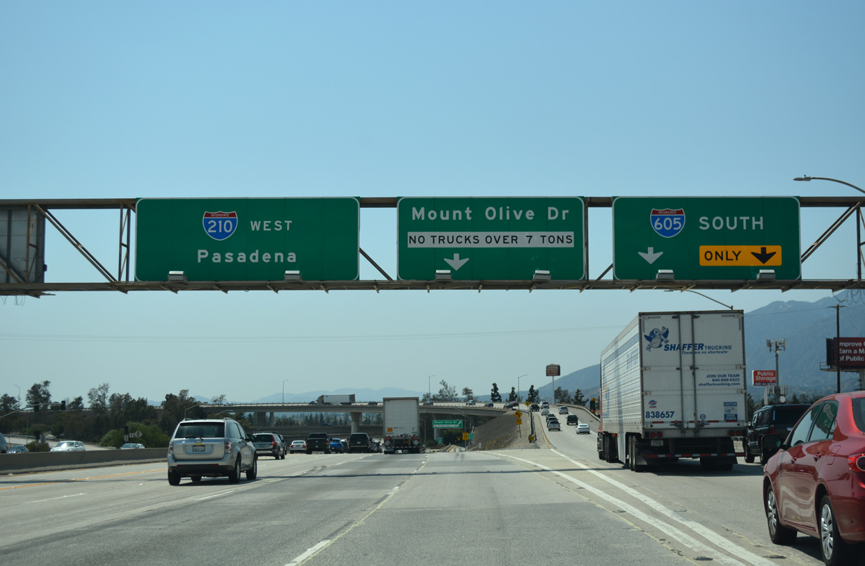
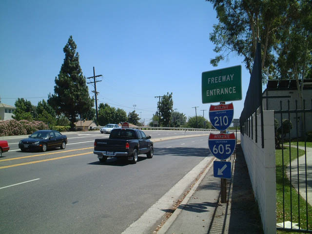
Huntington Drive east at the southbound beginning of I-605 from Mount Olive Drive in Duarte. This button copy sign remained in service until 2018. 07/21/01
North End – Past Views
Past Views Gallery (Tap to Expand / Collapse Section)
West at
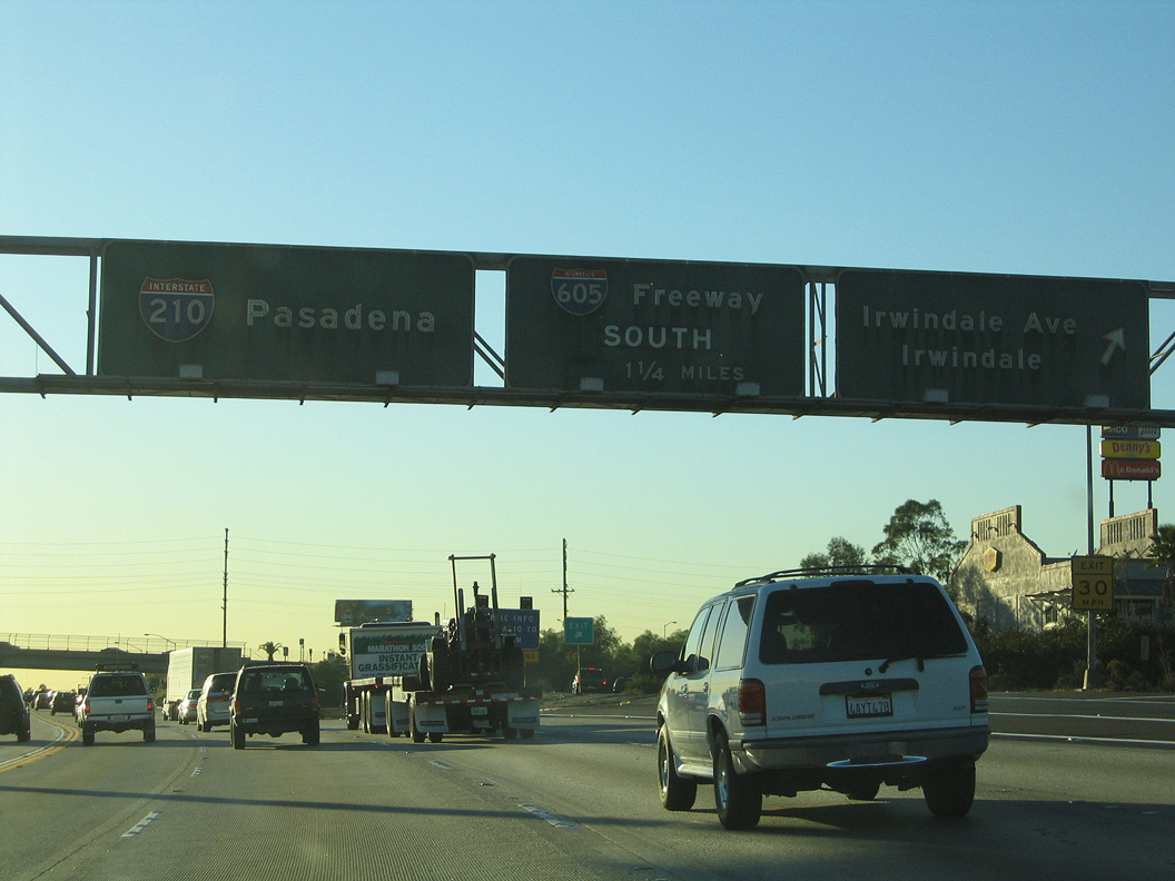
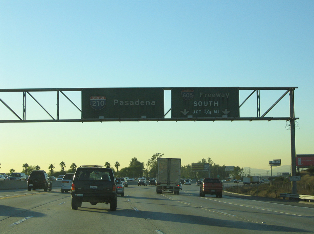
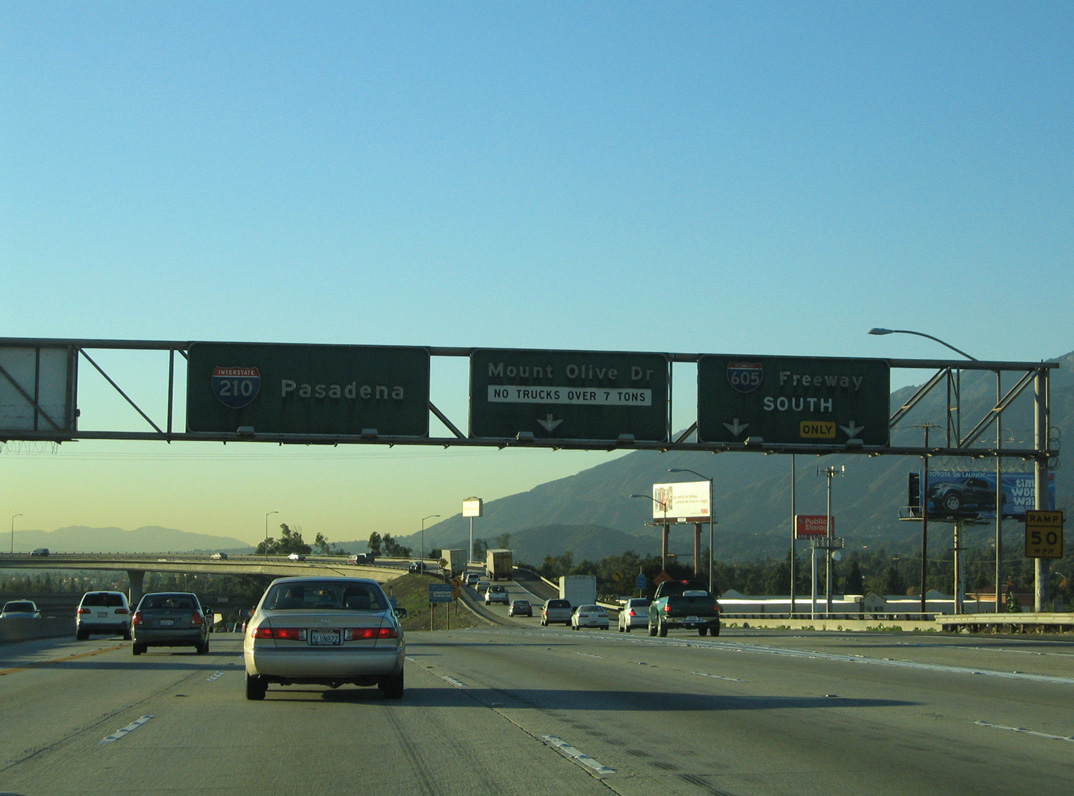
Original guide signs for I-605 south on Interstate 210 (Foothill Freeway) westbound. 11/19/05
South End 
 ‐ Seal Beach, CA
South at
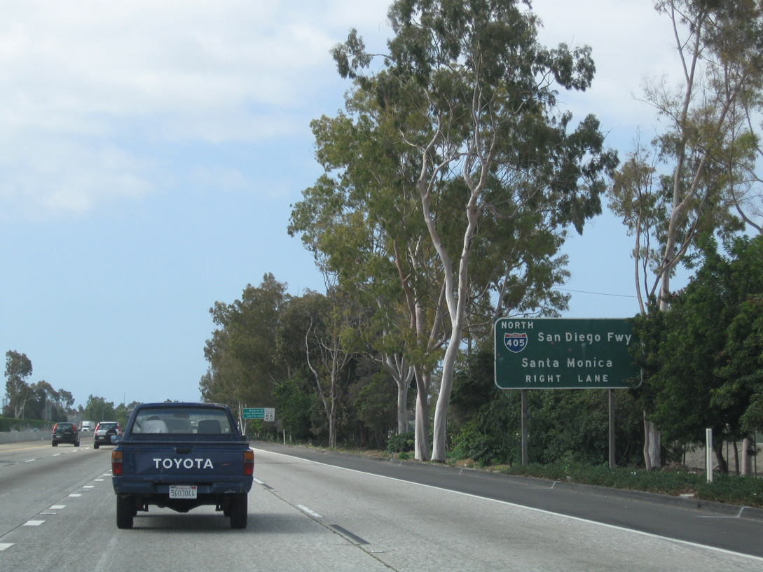
Interstate 605 leading south to I-405 and SR 22 prior to 2011-12 expansion. The southbound roadway was widened to five general travel lanes plus an HOV lane. 05/02/10
East at
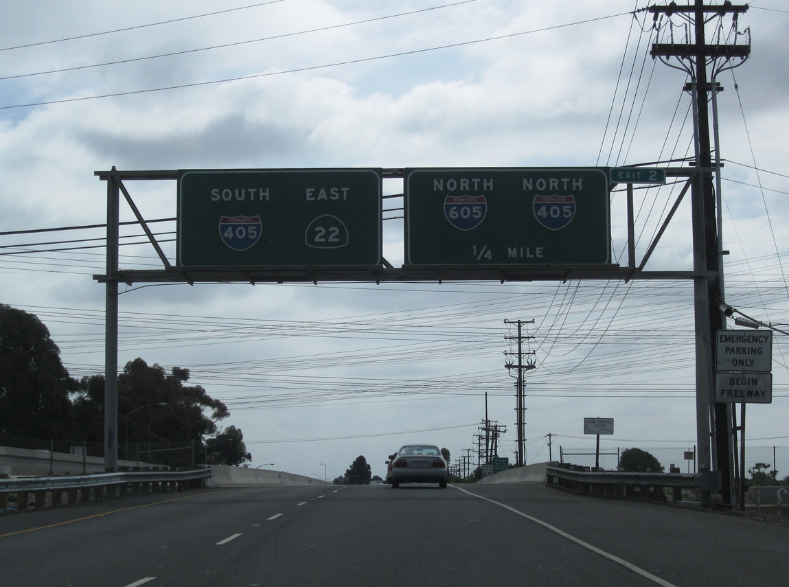
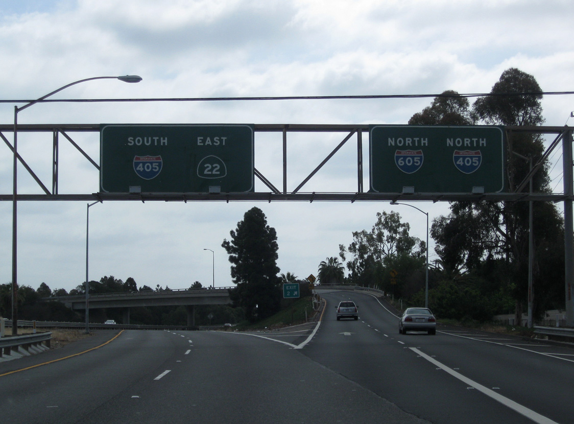
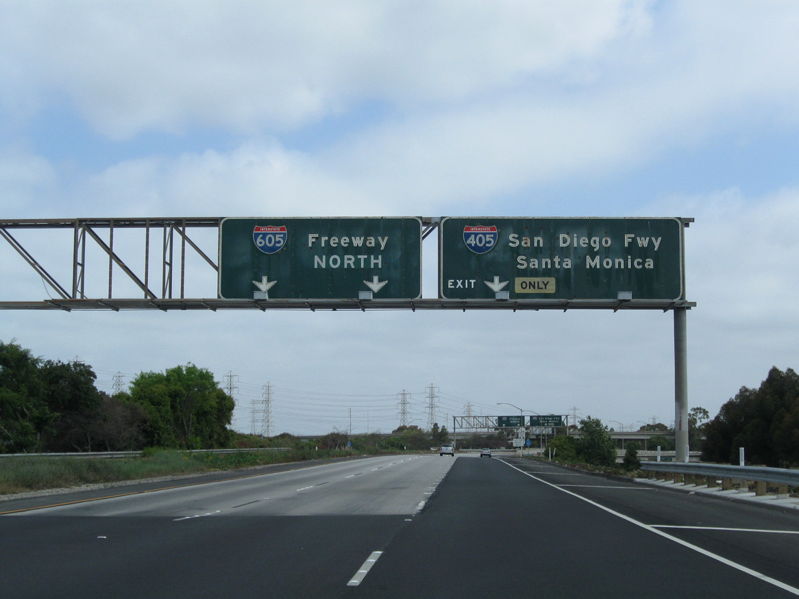
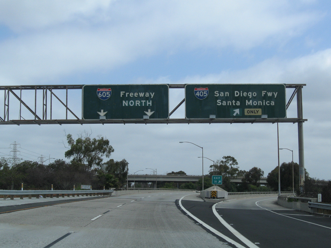
SR 22 (7th Street) transitions into a freeway east from the RIRO ramps with Stubebaker Road. The state route crosses the San Gabriel River a quarter mile ahead of the flyover for I-405 and I-605 north. 05/02/10
North at
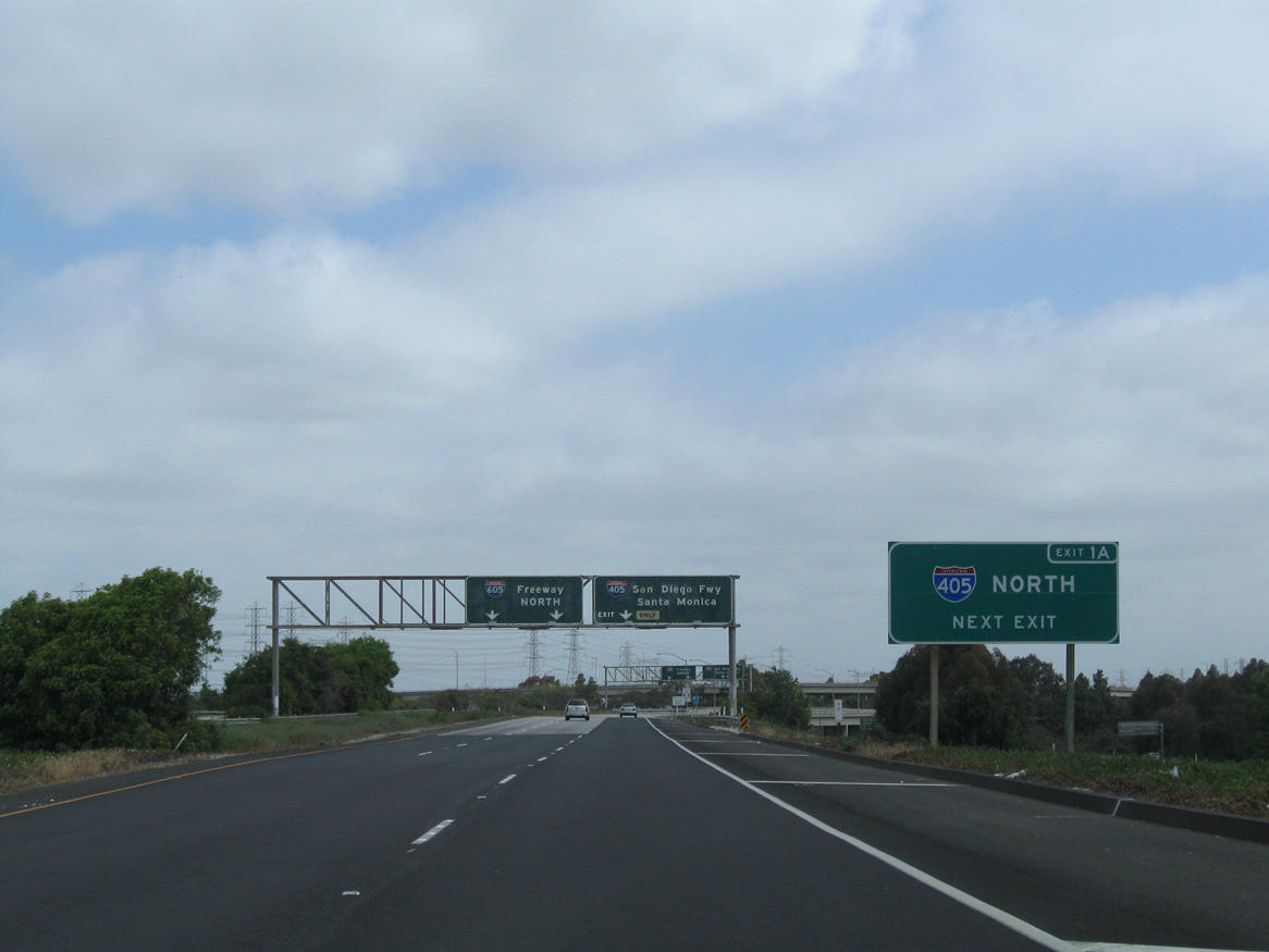
05/02/10
North West at
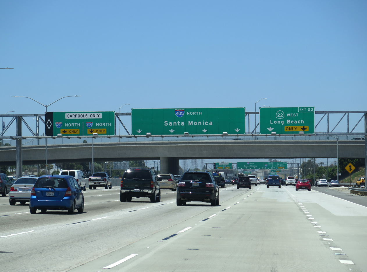
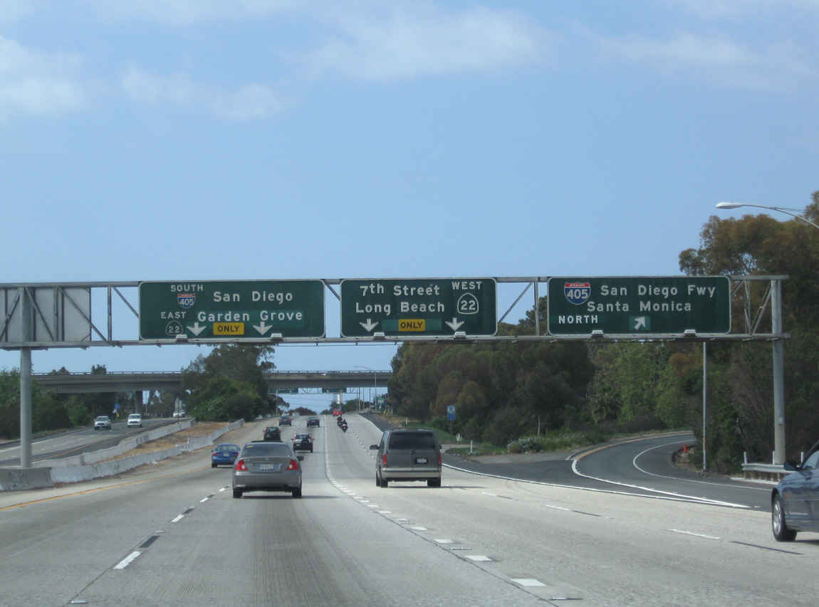
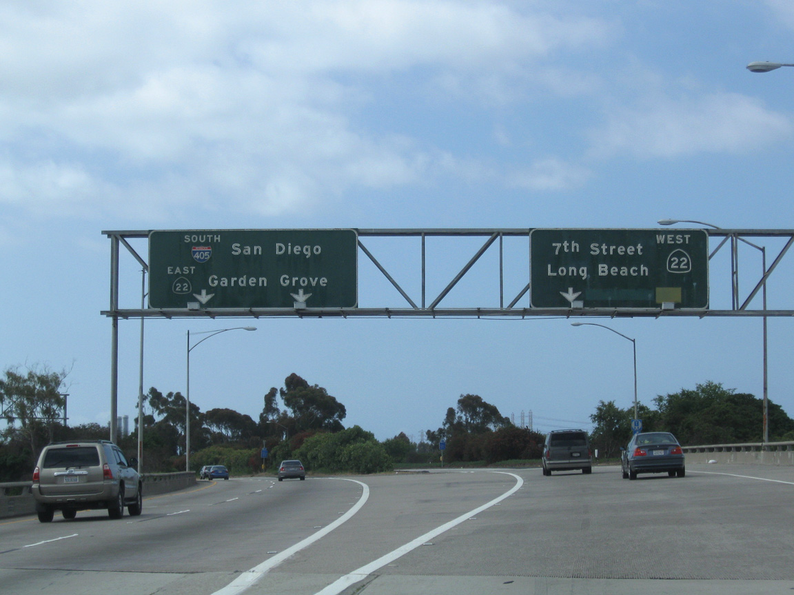
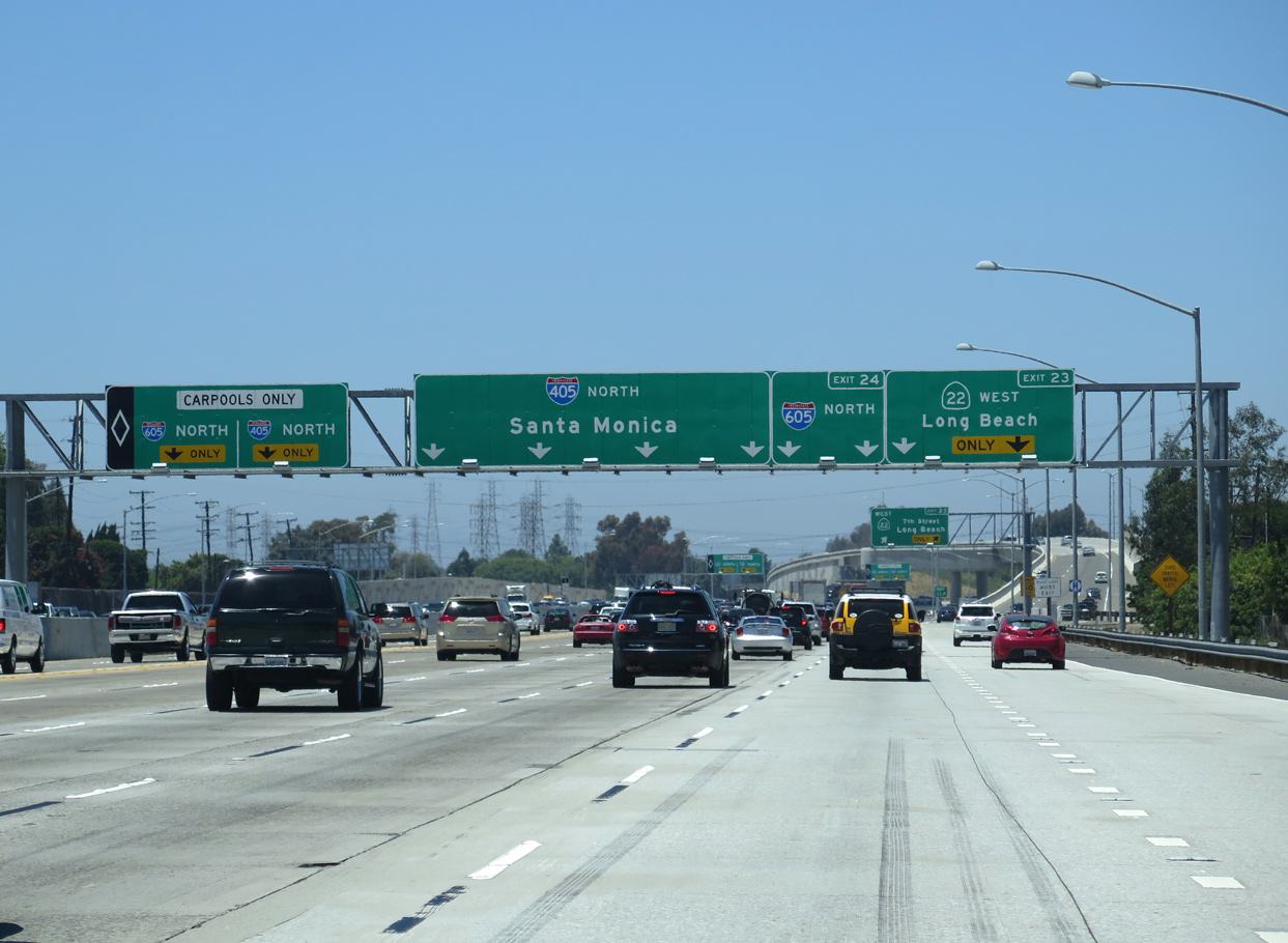
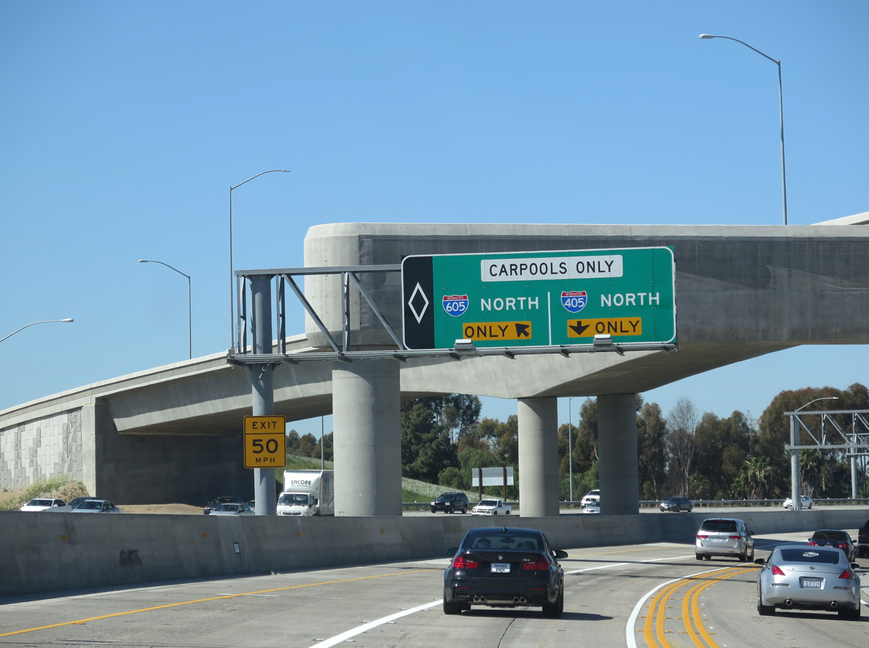
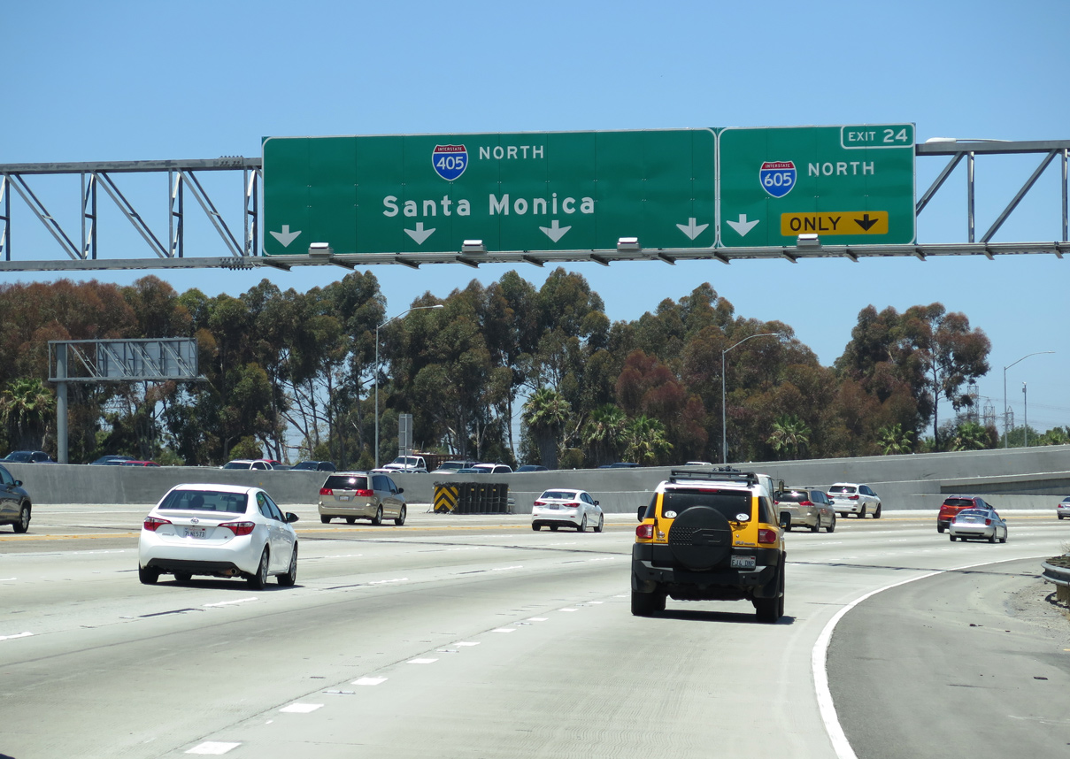
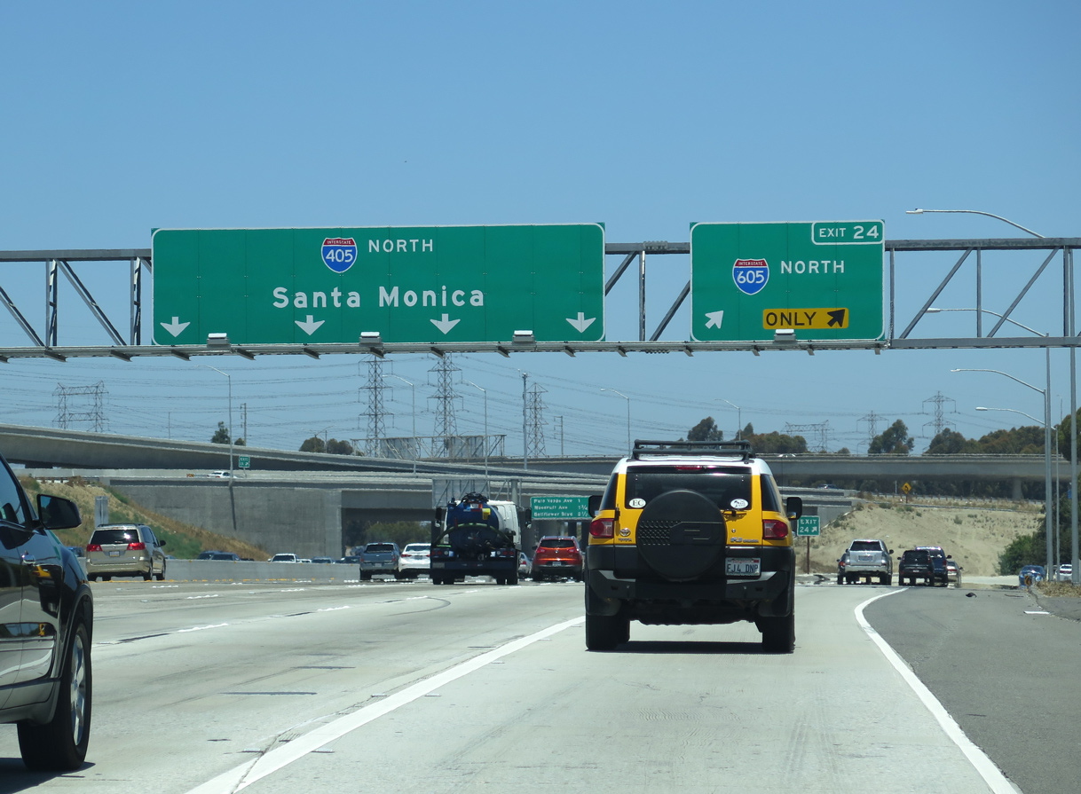
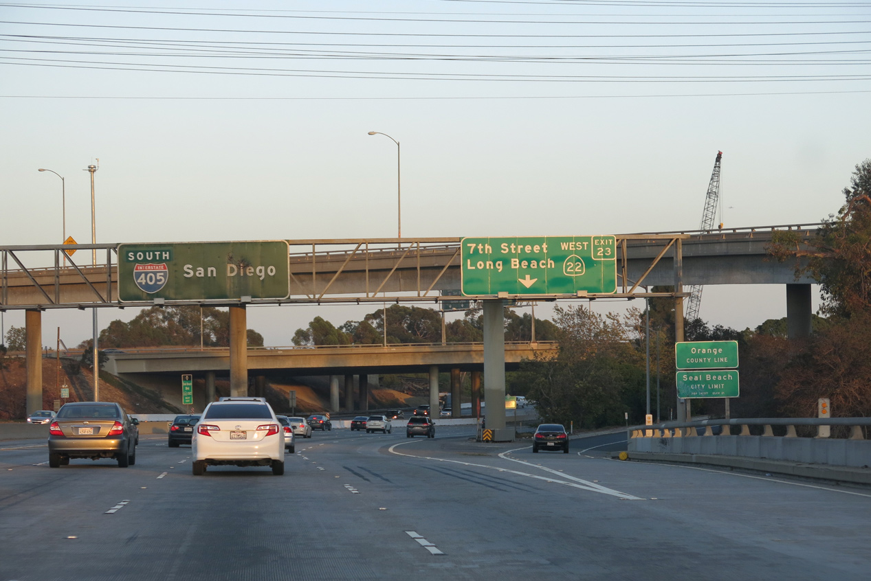
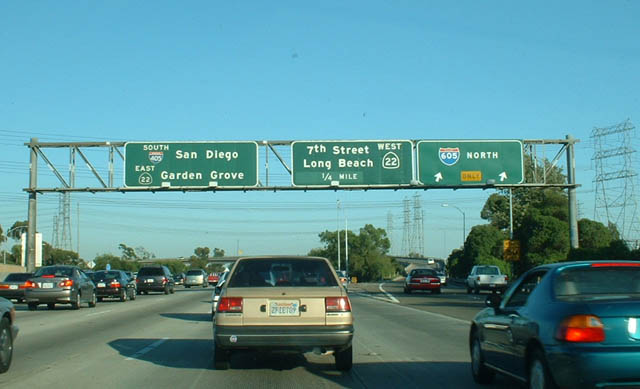
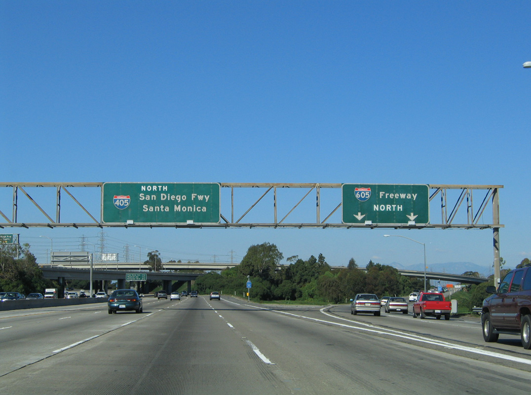
I-405/SR 22 proceed west from the exchange with Seal Beach Boulevard to split at a wye interchange (Exit 23) just ahead of the HOV for I-605 (San Gabriel River Freeway) north. 06/20/15
South at
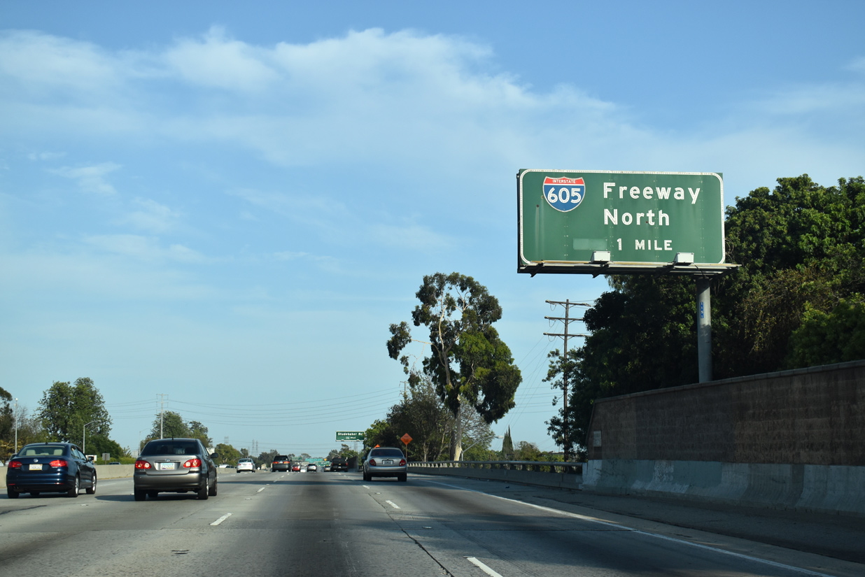
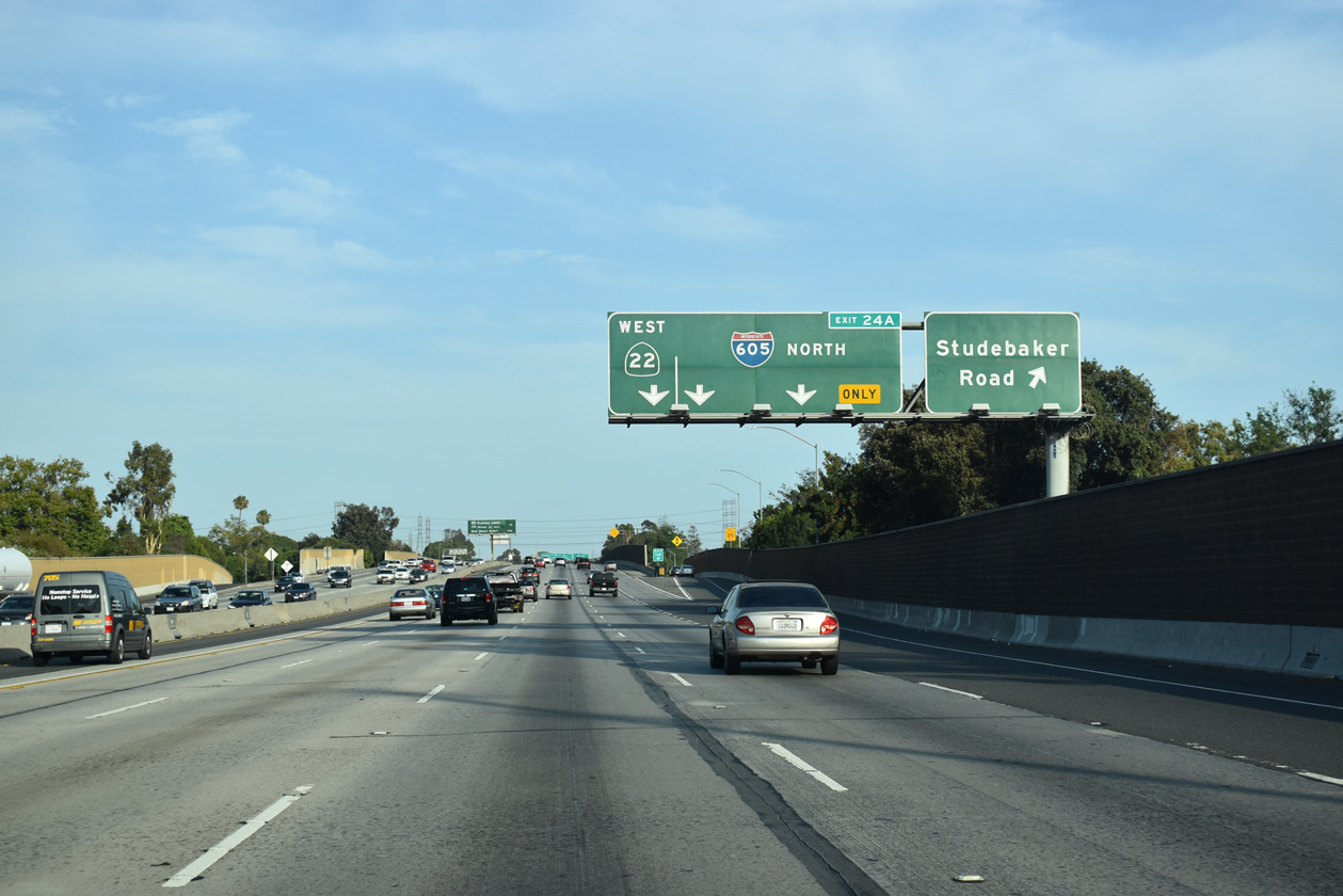
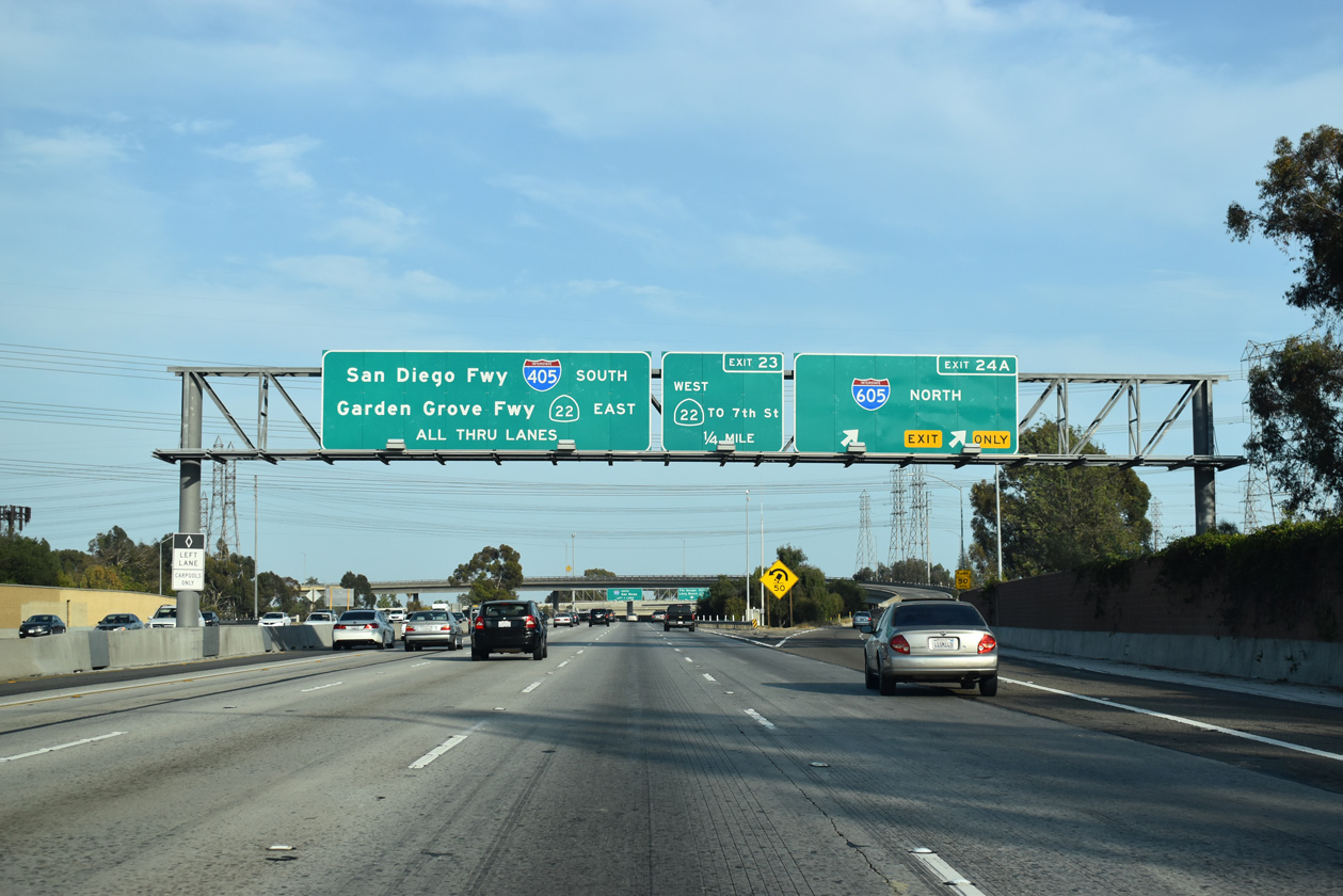
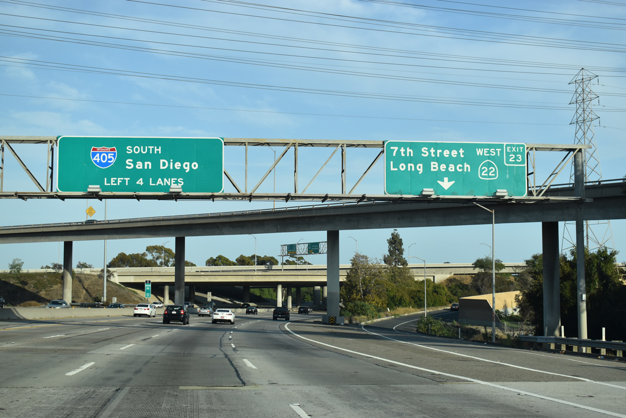
Interstate 405 (San Diego Freeway) angles southeast from Willow Street in Long Beach to meet I-605 just across the San Gabriel River. 07/08/18
South End – Past Views
Past Views Gallery (Tap to Expand / Collapse Section)
North at
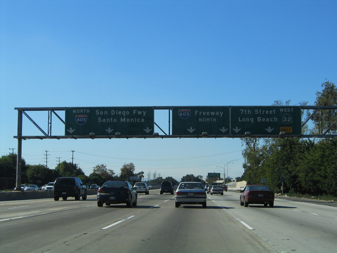
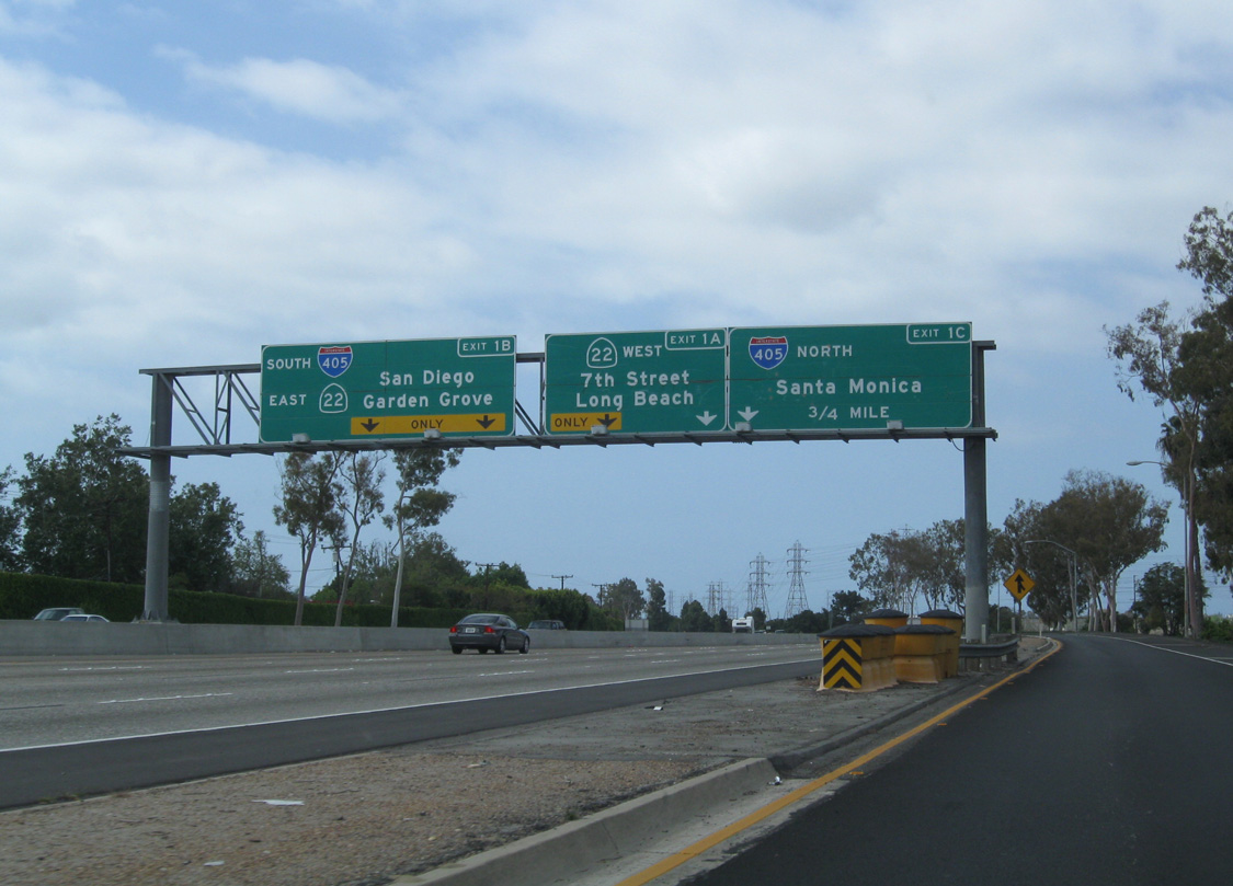
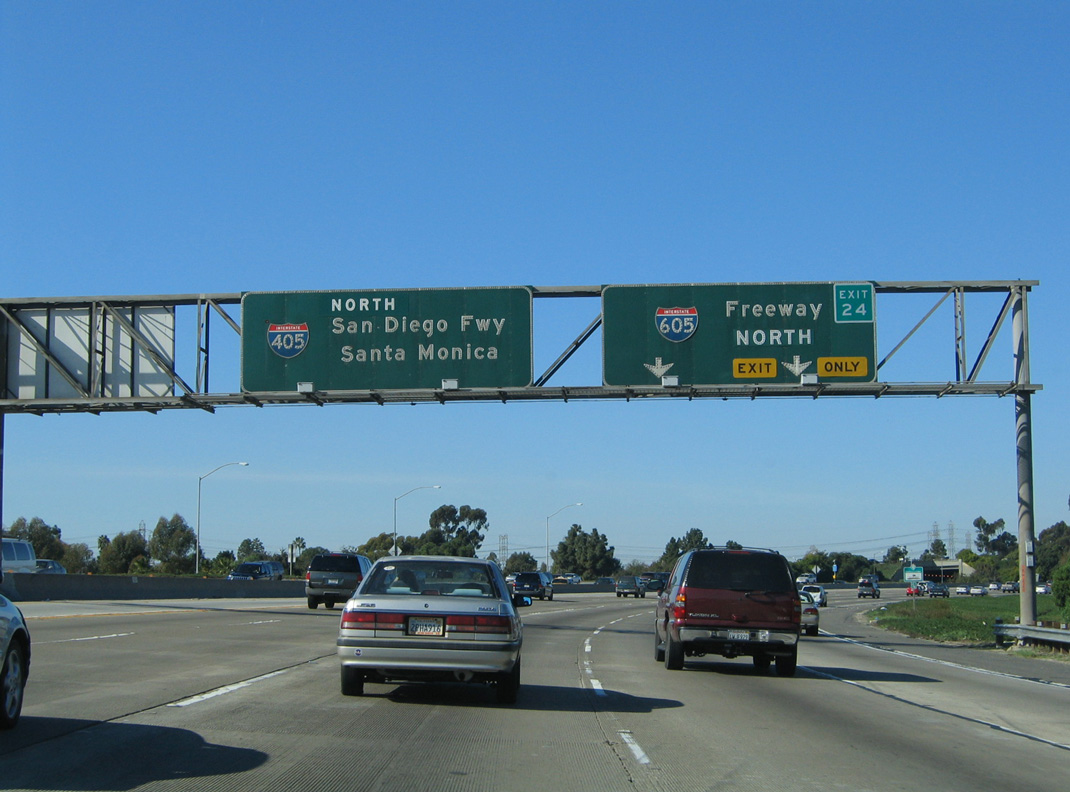
Former button copy signs at the westbound separation of SR 22 and I-405, prior to the addition of HOV lanes. 11/14/04
References
- Faigin, D.. (2026, March 23). Route 164. California Highways. Retrieved from https://www.cahighways.org/ROUTE164.html