
Interstate 210 California
Overview
Interstate 210 in California is the Foothill Freeway between Interstate 5 (Golden State Freeway) in Sylmar and SR 57 (Orange Freeway) in Glendora via Pasadena. I-210 changes into SR 210 at SR 57, and the state route continues east from there to San Bernardino and Interstate 10 in Redlands. The section between I-215 and I-10 was previously signed as SR 30.
Although with the full freeway alignment of State Route 210 completed in 2007, Interstate 210 has yet to extend east from Glendora to San Bernardino. The process to add convert SR 30 to I-210 began in 1998, when the designation of Route 30 was legislatively changed to Route 210. Then on November 6, 1998, the state of California jointly submitted SR 30 for inclusion in the Interstate Highway System and for the removal of the section of I-210 between I-10 and SR 30. The American Association of State Highway and Transportation Officials (AASHTO) rejected these proposals because the freeway segments were not complete.
State legislation authorizing numbering changes for the 210 construction project was complex because the entire route, I-210 in Los Angeles County and SR 210 through Riverside and San Bernardino Counties, was considered. Interstate status was initiated during the 210 Freeway construction projects, but then partially rescinded.6
A spokesperson for Caltrans District 8 indicated that all signs should be updated to show Interstate 210 in place of SR 210 once upgrades are completed on the eastern extent of the freeway from Highland to I-10.6 The SR 210 Lane Addition/Base Line Interchange project adds a mixed-flow lane in each direction between Highland Avenue and San Bernardino Avenue and auxiliary lanes between Base Line and 5th Street. This project expands the freeway from four 12 foot wide travels lanes with 5 foot inside and outside shoulders to six overall lanes between post miles R26.3 and R32.4. The overall project extends from post miles R25.0 to R33.2.
Costing $198.7 million, design work and right-of-way acquisition for the San Bernardino County Transportation Authority (SBCTA) project was completed by Summer 2019. Construction commenced in February 2020 and extends to Summer 2023. Previously the State Route 210 Mixed Flow Lane Addition and the Base Line Interchange were separate projects.7
Mileage by State
| California | 48.72 mi |
Data Sources
December 31, 2021 Interstate Route Log and Finders List
High Priority Corridor
Proposed Interstate 210 through San Bernardino County is part of High Priority Corridor 34: Alameda Corridor East and Southwest Passage.
History
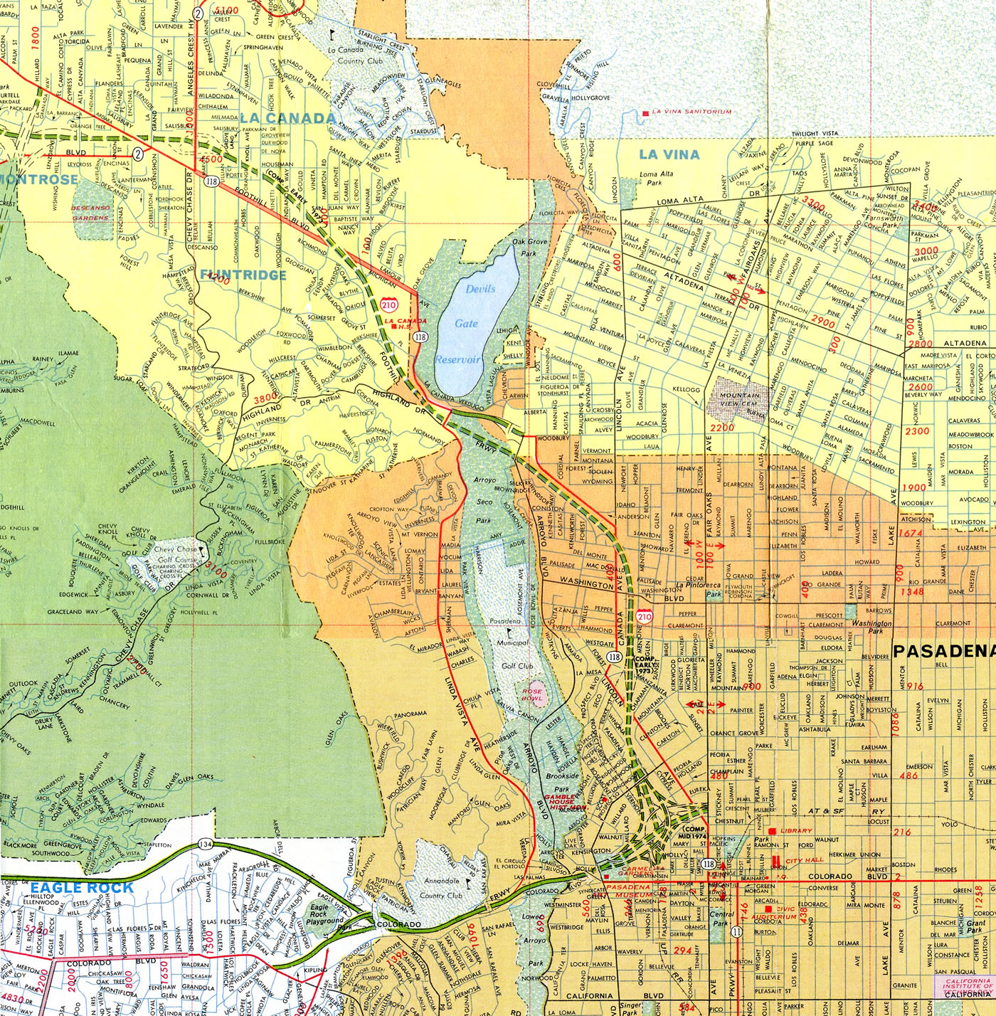
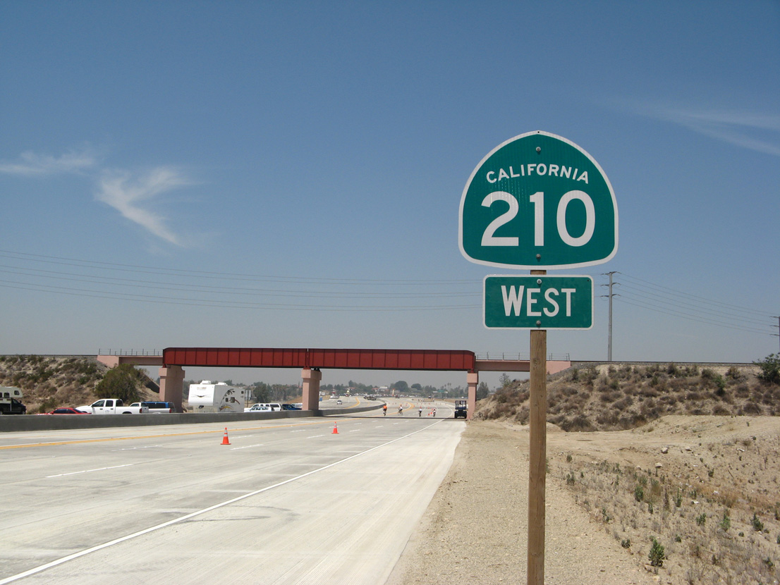
Interstate 210 (Foothill Freeway) was planned in the 1940s, commissioned in the mid 1950s, and completed in stages from 1969 to 1981. As sections of the Foothill Freeway were completed, the segments were signed as California State Route 118 northwest of Pasadena and U.S. 66 east of Pasadena. Once the significant portions of the route were completed, Interstate 210 markers were erected.
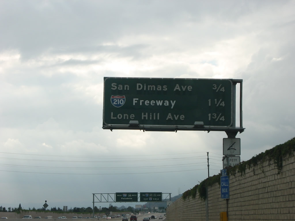
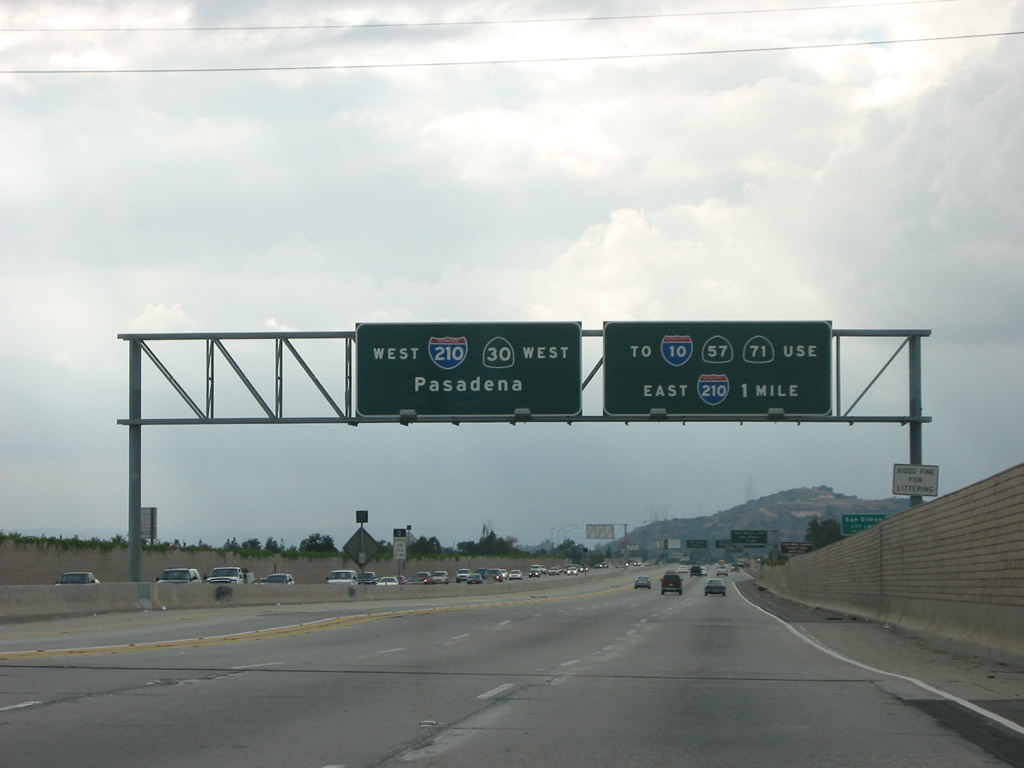
Prior to the conversion of the former SR 30 corridor into SR 210 in 1999, I-210 turned south from the Foothill Freeway at San Dimas to connect with I-10 at the Kellogg Interchange in Pomona. This section of the Orange Freeway was legislatively reassigned as Route 57.
The first portion of the State Route 210 freeway opened in 2002 through Upland and Rancho Cucamonga. The subsequent section completed runs through Rialto and Muscoy.
With the opening of the final link of California 210 east between San Dimas and San Bernardino on July 24, 2007,1 the combination of I-210 and SR 210, offers a continuous freeway link from Los Angeles and the San Fernando Valley to Redlands. Signs for California 30 were removed in favor of SR 210 in Fall 2007.
The following are opening dates for each segment of Interstate 210:4
- Interstate 5 to Roxford Street – October 14th, 1970
- Roxford Street to Maclay Street – December 12th, 1969
- Maclay Street to Van Nuys Boulevard – August 25th, 1975
- Van Nuys Boulevard to Wheatland Avenue – January 21st, 1981
- Wheatland Avenue to Sunland Boulevard – October 14th, 1980
- Sunland Boulevard to La Tuna Canyon Road – November 8th, 1977
- La Tuna Canyon Road to Lowell Avenue – October 16th, 1975
- Lowell Avenue to Linda Vista Avenue – June 19th, 1973
- Linda Vista Avenue to Arroyo Boulevard – August 29th, 1974
- Arroyo Boulevard to Orange Grove Boulevard - June 19th, 1973
- Orange Grove Boulevard to Interstate 710 – February 28th, 1975
- Interstate 710 to Michillinda Avenue – February 19th, 1976
- Michillinda Avenue to Santa Anita Avenue – July 6th, 1971
- Santa Anita Avenue to Highland Avenue – September 25th, 1968
- Highland Avenue to SR 39 – March 6th, 1969
- SR 39 to Grand Avenue – November 21st, 1969
- Grand Avenue to SR 66 – January 28th, 1971
- SR 66 to Milliken Avenue – November 24th, 2002
- Milliken Avenue to Sierra Avenue – August 20th, 2001
- Sierra Avenue to Highland Avenue - July 24th, 2007
- Highland Avenue to SR 259 – July 30th, 1989
- SR 259 to Highland Avenue – October 28th, 1971
- Highland Avenue to Fifth Avenue – July 1st, 1993
- Fifth Avenue to Interstate 10 – March 31st, 1993
The construction history of Interstate 210 is shown below based on the official bridge logs. Caltrans tends to construct bridges well in advance of grading and completing the remainder of freeways, so the dates on the bridges often precede the actual opening dates of the respective freeway sections.2
- Interstate 5 east to Foothill Boulevard - 1968; replaced in 1971 (connectors to Interstate 5 south replaced in 1975)
- Yarnell Street interchange - 1970
- Glenoaks Boulevard to Maclay Street - 1969
- Pacoima Wash to Van Nuys Boulevard - 1975
- Pierce Street to Sunland Avenue - 1980
- Cross Canyon to La Tuna Canyon Road - 1975
- Lowell Avenue to Hampton-Foothill Boulevard - 1972
- Foothill Boulevard to Linda Vista Avenue - 1974
- Arroyo Boulevard to Orange Grove Boulevard - 1973
- I-210/710-SR 134 Interchange - 1975
- Marengo Avenue east to Madre Street - 1976
- SR 19 (SR 164) east to Baldwin Avenue - 1971
- Santa Anita Avenue to Fifth Avenue - 1968
- Huntington Drive to Mayflower Avenue - 1967
- Magnolia Avenue to Duncannon Avenue - 1966-1967
- Interstate 605 to SR 39 - 1968
- SR 39 to Glendora Avenue - 1969
- Glendora Avenue to SR 66 (including California 57 interchange) - 1970
- California 66 to Live Oak Canyon Road - 2000
- Towne Avenue to Mountain Avenue - 2001
- San Antonio Avenue to Euclid Avenue - 1999
- Campus Avenue - 2001
- Sapphire Street to Hermosa Avenue - 2000
- Haven Avenue to Day Creek Boulevard - 2001
- Etiwanda Avenue to Sierra Avenue (including Interstate 15 interchange) - 1998-2001
- Alder Avenue to Highland Avenue - 2005-2006 (opened July 2007)
- Interstate 215 interchange - 1989
- SR 259 to SR 18 - 1968
- Golden Avenue to Sterling Avenue - 1971
- Highland Avenue (SR 30 Business) to Fifth Avenue - 1984
- Fifth Avenue to Interstate 10 - 1984 and widened to second roadway in 1992.
Regarding the I-5/210 connector ramps, Adam Twiss indicated that the I-210 West to I-5 South Connector, along with the rest of the Interstate 5, I-210 and SR 14 interchange were originally constructed in 1970-71. These were about to open when the Sylmar (San Fernando) Earthquake hit on February 9, 1971. On the day of the earthquake, the original South Connector fell on a pickup truck, killing two people on the Golden State Freeway. The portion of Interstate 210 from I-5 to Paxton Street was severely damaged, and the fault that caused the earthquake ripped through the freeway northwest of Maclay Street. As a result, there is a slight hump on the number three lane on the eastbound side - a slight offset near where the asphalt and concrete meet. This earthquake also buckled the Golden State Freeway just south of the San Fernando Road over crossing.5
More on the California 30 north-south section of freeway from Scott Parker:3
Prior to the spring of 1992, when the full facility was completed, California 30 -- west to east -- looked like this: freeway to the present Highland Ave. interchange in east San Bernardino, east on Highland to Boulder Avenue (the California 30/330 intersection), where it turned south. It went south on Boulder to 5th, then turned west on 5th to the freeway alignment, then went south again over the eastbound two lanes across the Santa Ana River watercourse, extending south to San Bernardino Avenue in Redlands. At that point, traffic was shunted off onto that street east to the east side of the freeway berm, where it turned south onto Tennessee Street (which had been extended north circa 1982-83 to serve as a frontage road for the California 30 freeway, as it does today) and thence to the Interstate 10 interchange.
Some maps of that era showed California 30 temporarily extending east all the way to Orange Street (the original state highway alignment) then south to California 38 at Lugonia Street, where it terminated. While this may have been the officially designated alignment (Caltrans ceded the part of Orange Street that dipped into the Santa Ana River bed over to the local jurisdiction), signage from California 30 east directed traffic heading to Interstate 10 directly down Tennessee Street (and, if you have been that way and paid notice, there is room on the overhead signage for the Tennessee St. exits on Interstate 10 -- in both directions -- for a state highway shield).
Signage from Interstate 10 to California 30, if my memory from the mid eighties serves me correctly, was rudimentary at best: I seem to recall nothing indicating California 30 at the Interstate 10 / California 38 / Orange Street interchange in central Redlands, but one solitary stand-alone sign before the Tennessee Street off-ramp reading, from top to bottom "TO", California 30 (shield), "NEXT RIGHT" in a small square green sign under the shield. And that didn't last long, since that was also the site of construction of the Interstate 10 / California 30 interchange, and the shield sat where Interstate 10 was being widened to accommodate the two-lane ramp exit to California 30.
East End 
 ‐ Glendora, CA
 East at
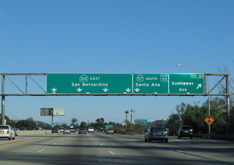
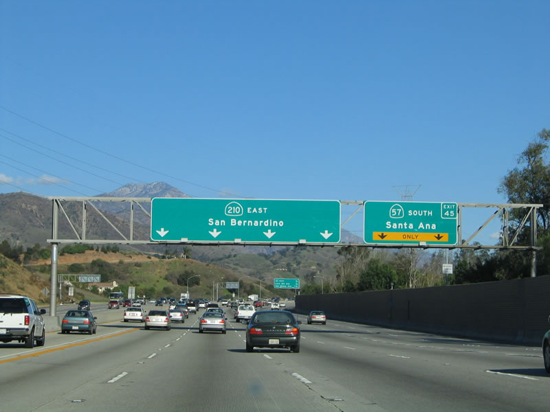
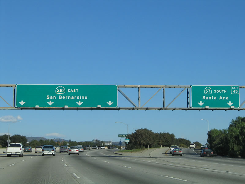
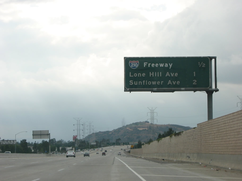
I-210 east at Exit 43 for Sunflower Avenue, one mile ahead of SR 57 (Orange Freeway) south to Anaheim and Santa Ana. 11/14/04
North at
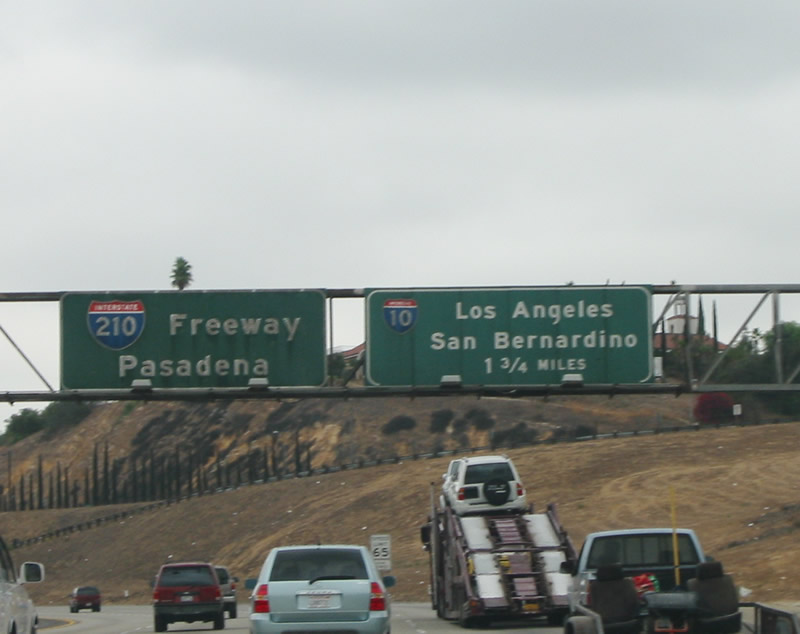
The first advance sign for I-210 west to Pasadena appeared 1.75 miles ahead of Exit 21 for I-10 on SR 57 (Orange Freeway) northbound. Photo by Pete Sison (09/27/02).
West at
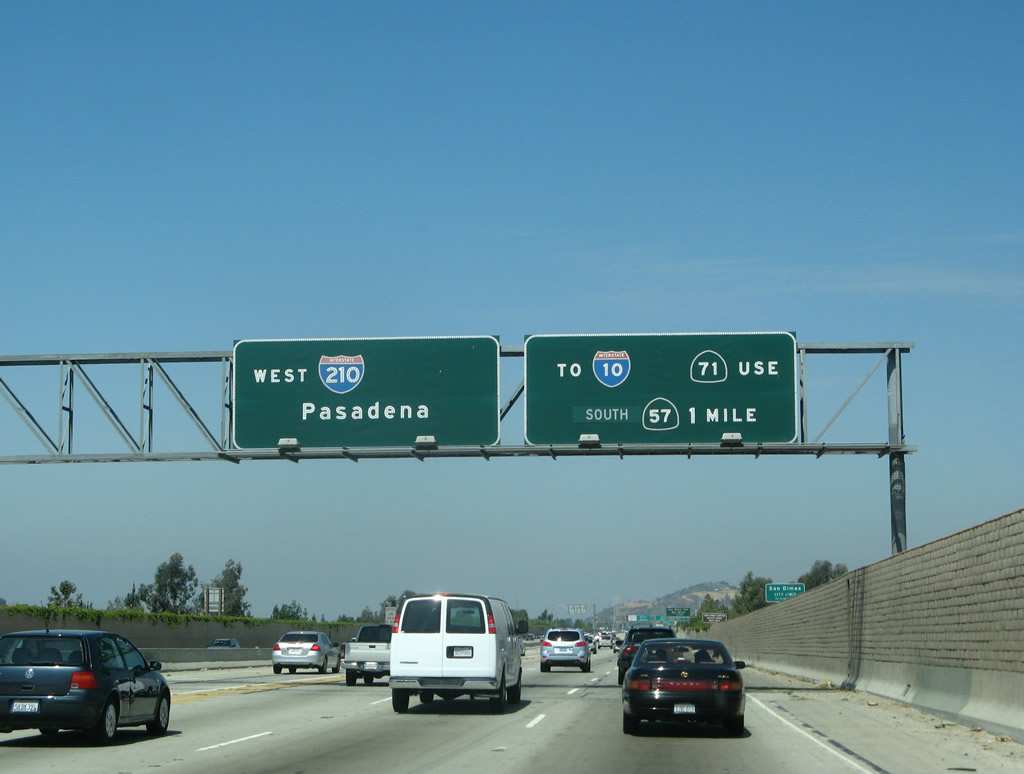
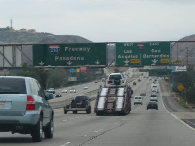
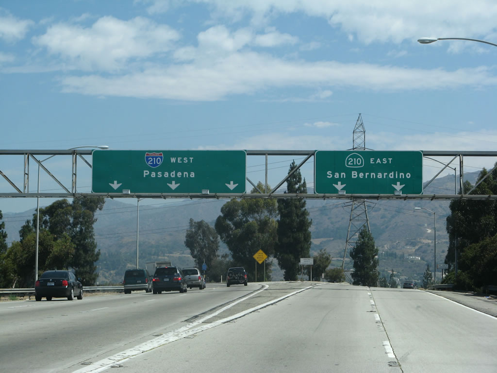
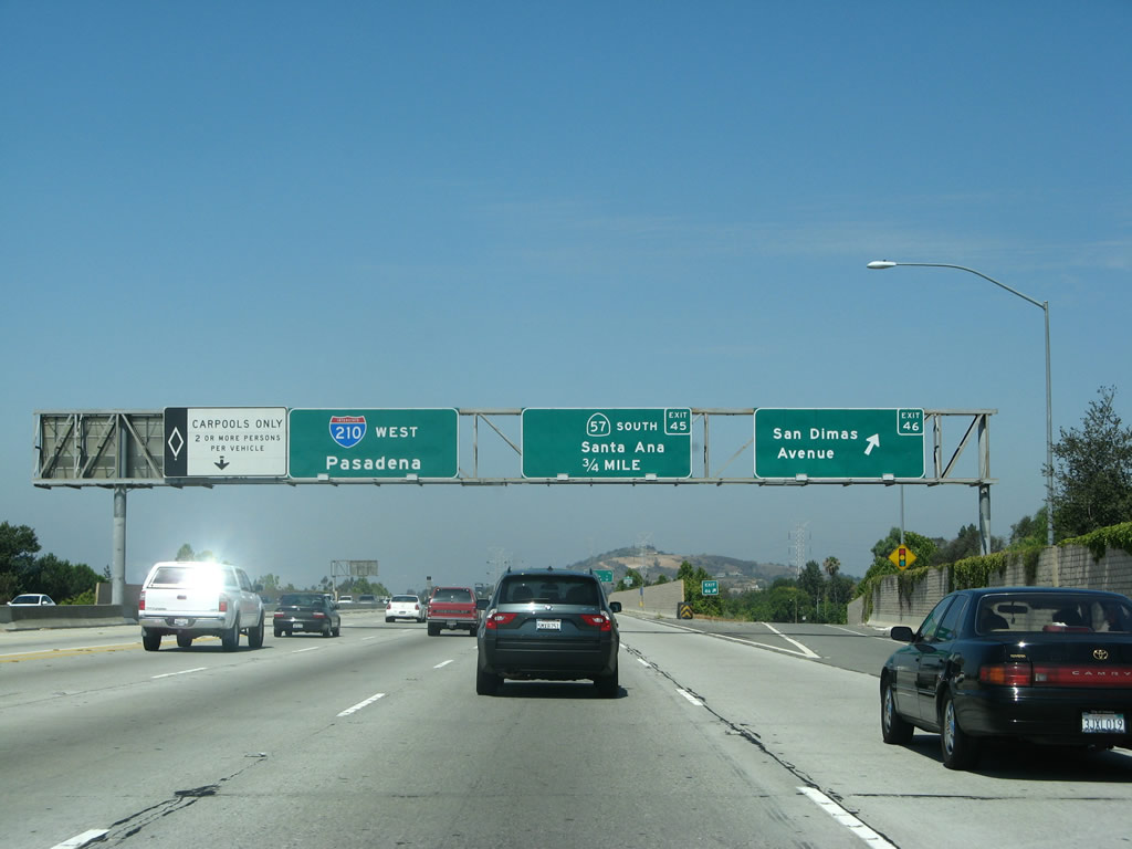
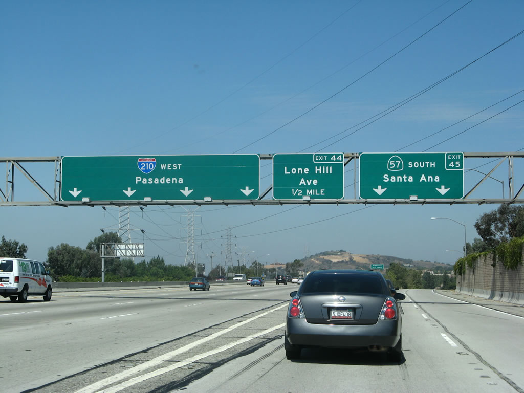
The first overhead referencing Interstate 210 west to Pasadena appears between the interchanges joining SR 210 with Foothill Boulevard and San Dimas Avenue. 07/15/07
East End – Past Views
at
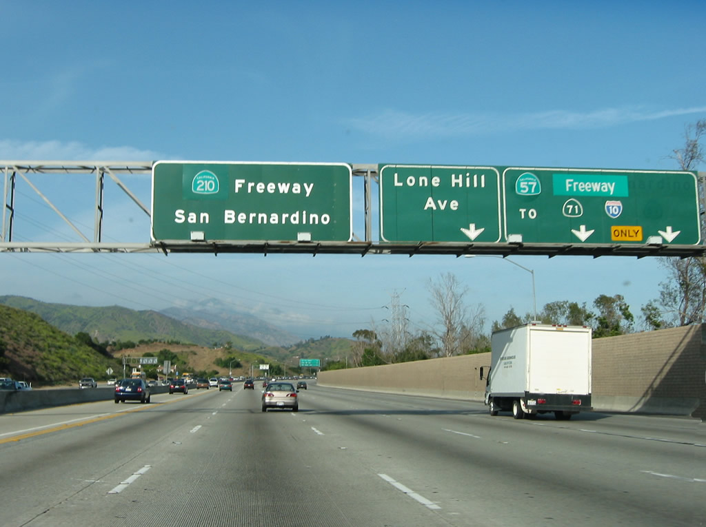
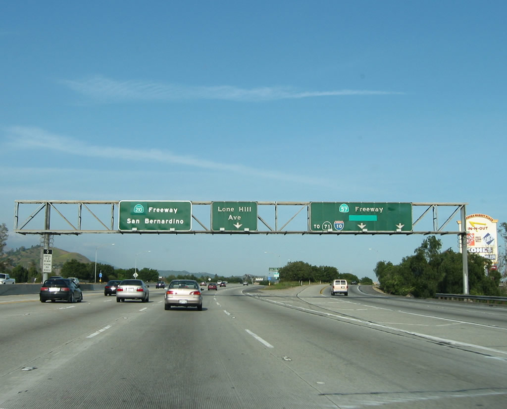
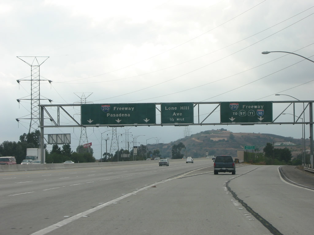
Button copy signs originally displaying I-210 and SR 30 were greened out to show both the extension of SR 57 north and the designation of SR 210 east. Photo by Pete Sison (04/27/03).
Former East End 

East at
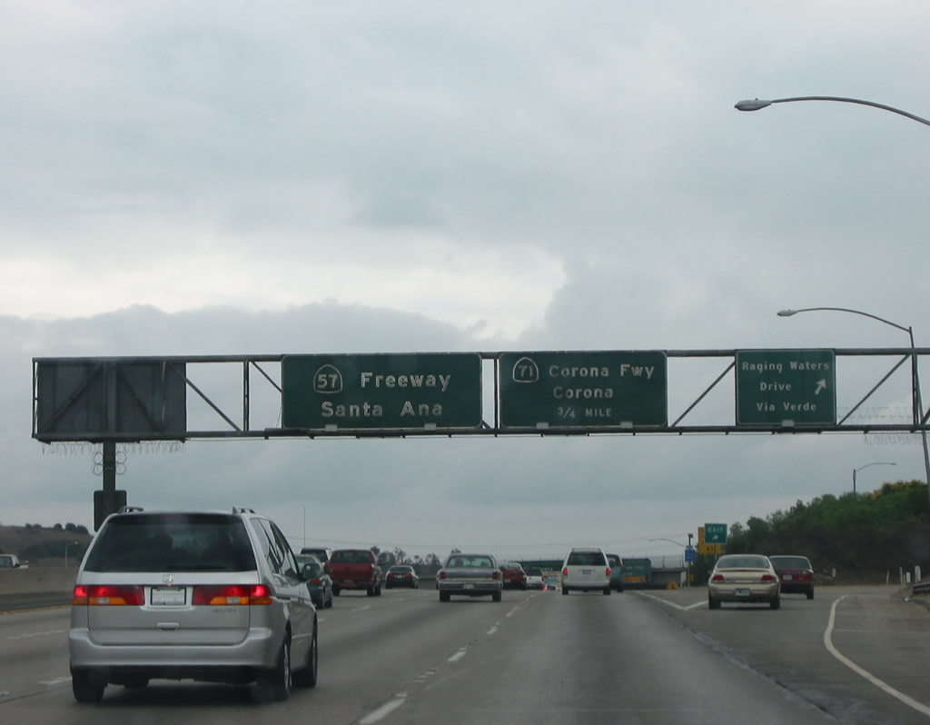
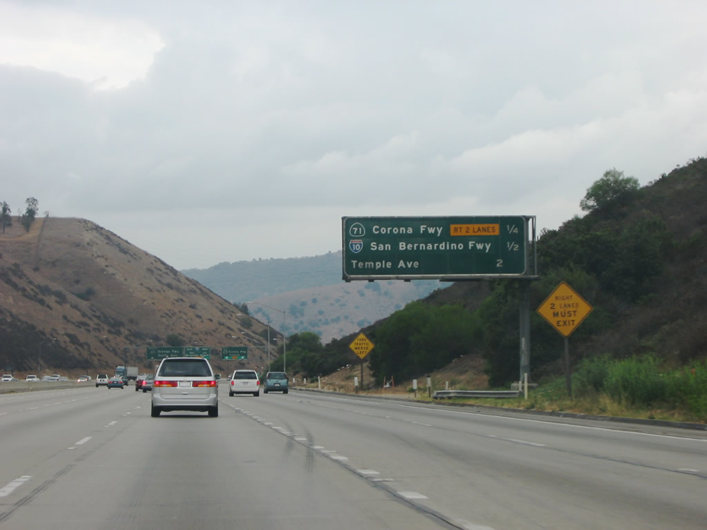
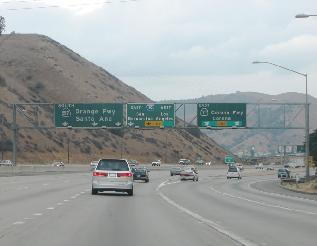
SR 57 (Orange Freeway) south at Exit 22D for Via Verde and Raging Waters Drive. The succeeding exits link with SR 71 (Chino Valley Freeway) south and Interstate 10. Photo by Pete Sison (09/27/02).
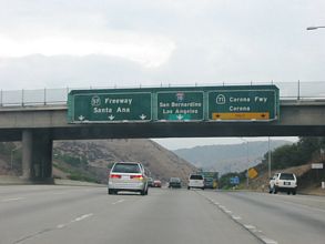
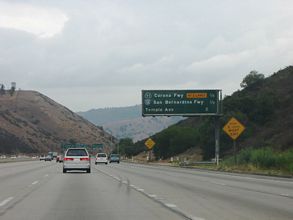
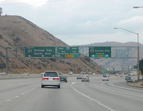
East at
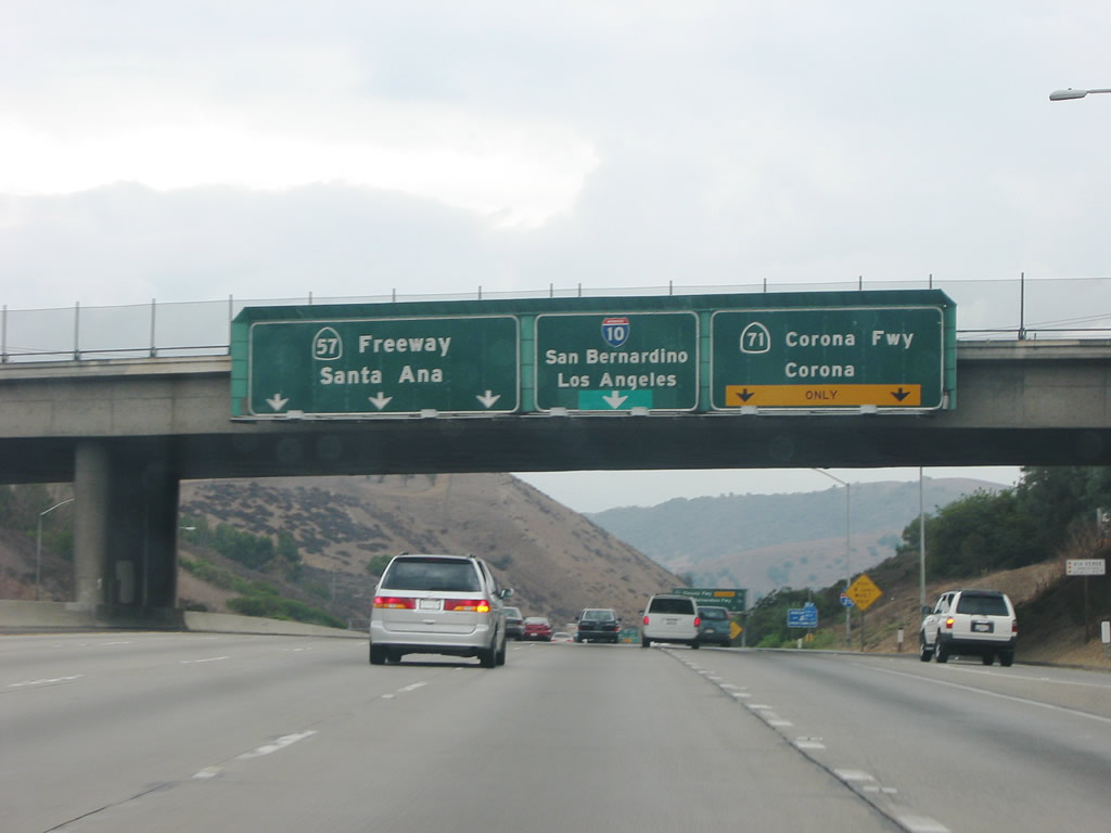
SR 57 (Orange Freeway) south at Exit 22D for Via Verde and Raging Waters Drive. The succeeding exits link with SR 71 (Chino Valley Freeway) south and Interstate 10. Photo by Pete Sison (09/27/02).
Past Views Gallery (Tap to Expand / Collapse Section)
North at
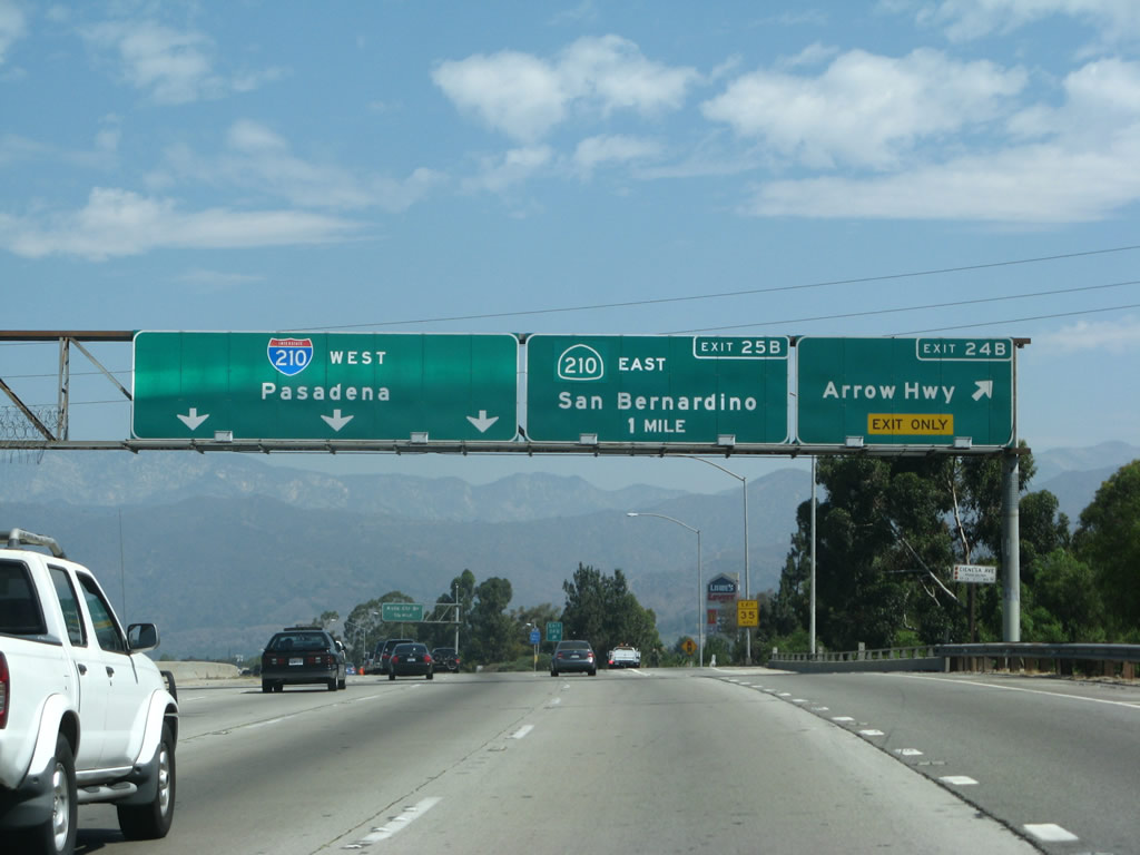
Exit 24B leaves SR 57 (Orange Freeway) north for Arrow Highway in San Dimas, one mile from the two-wye interchange with I-210/SR 210. 07/15/07
North at
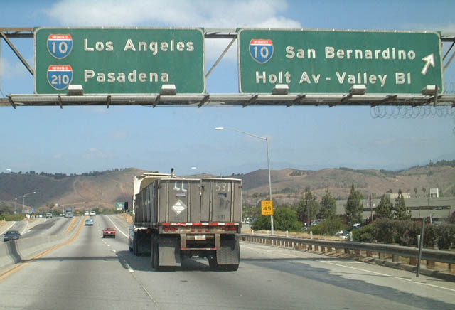
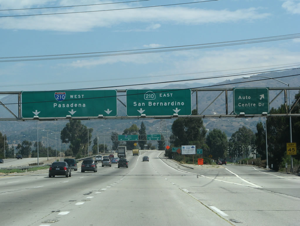
SR 71 angles northwest through the Kellogg Interchange, directly linking with I-10 west to Los Angles and the Orange Freeway north into San Dimas. 05/02/02
East at
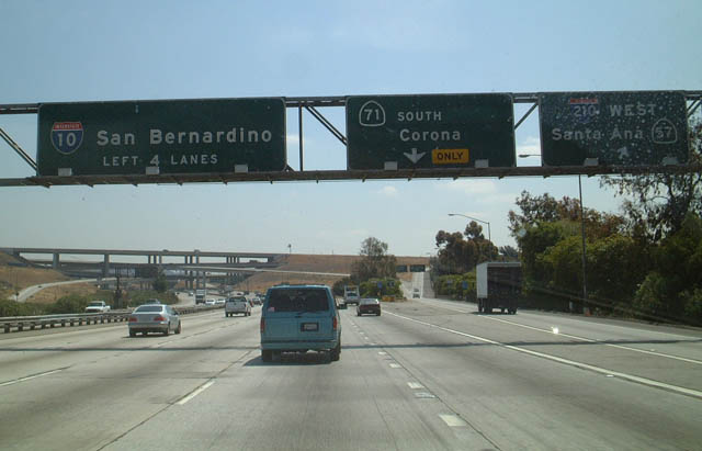
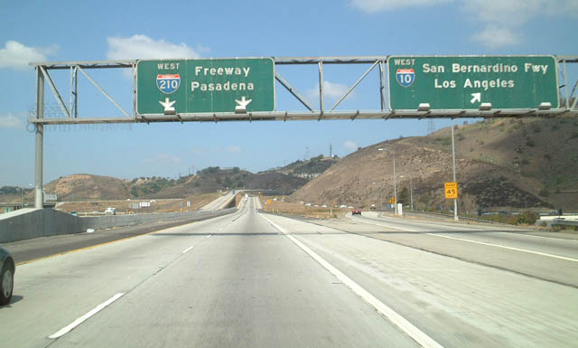
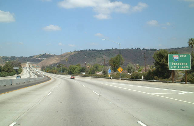
Exit 42A leaves I-10 eastbound for SR 57 (Orange Freeway) at the former east end of Interstate 210. SR 57 heads south towards Anaheim while I-210 ran north to Glendora. 05/02/02
Future East End ‐ Redlands, CA
Future/Proposed Alignment Gallery (Tap to Expand / Collapse Section)
East at
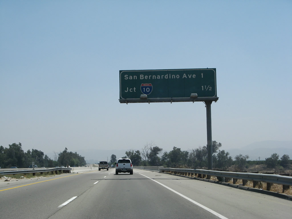
SR 210 crosses the Santa Ana River south ahead of San Bernardino Avenue and I-10 at Redlands. 06/17/06
West End  ‐ Los Angeles (Sylmar), CA
West at
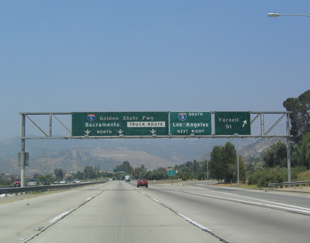
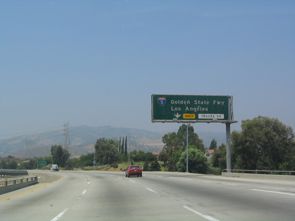
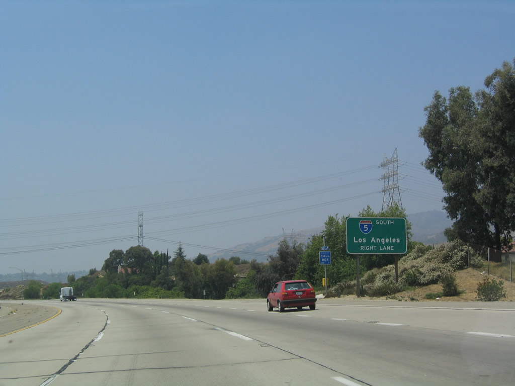
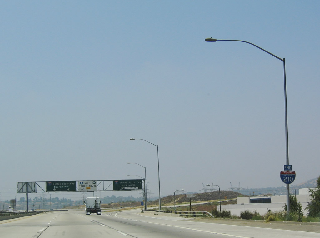
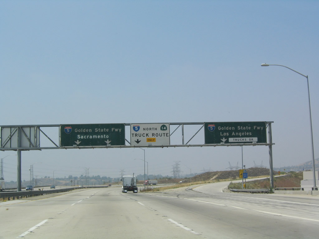
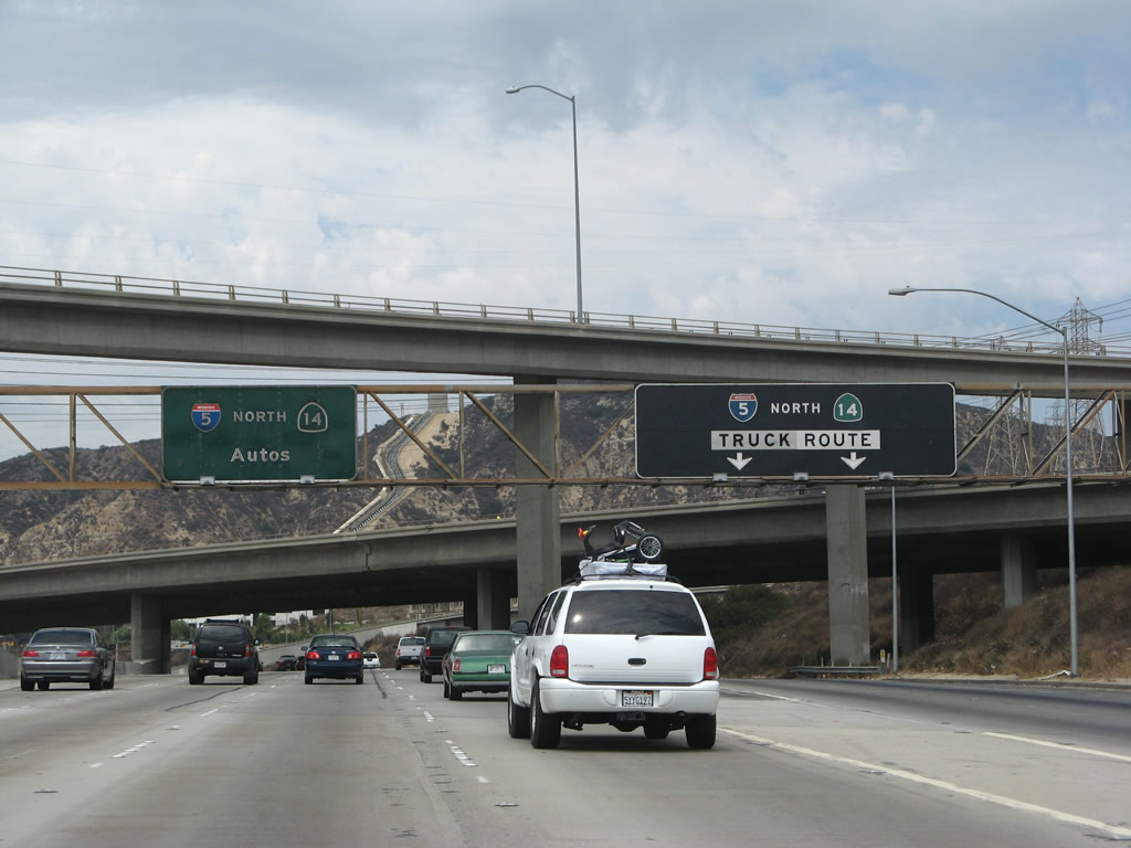
Exit 1C departs Interstate 210 west for Yarnell Street ahead of Exit 1A for the I-5 (Golden State Freeway) northbound general travel lanes and the truck bypass. 07/03/04
North at
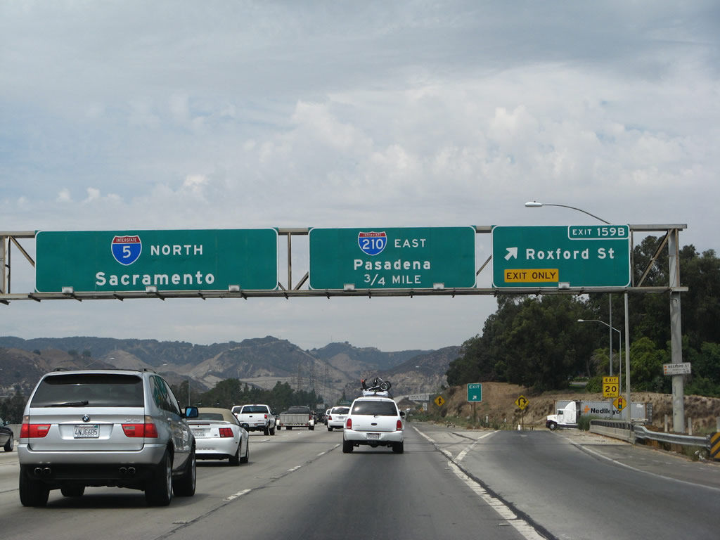
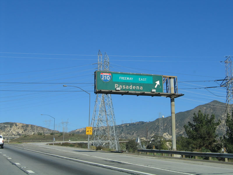
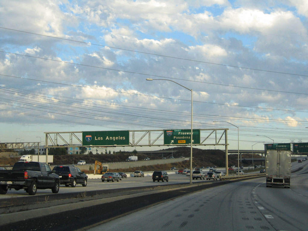
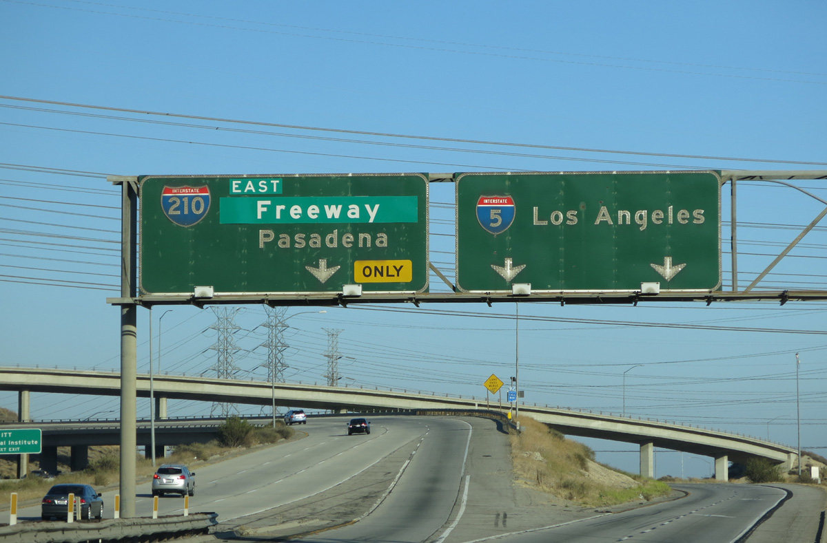
Exit 159B leaves I-5 north for Roxford Street ahead of Interstate 210. I-210 travels around the city of San Fernando, then follows the Foothill Freeway southeast to Pasadena and San Bernardino County. 08/26/07
South at
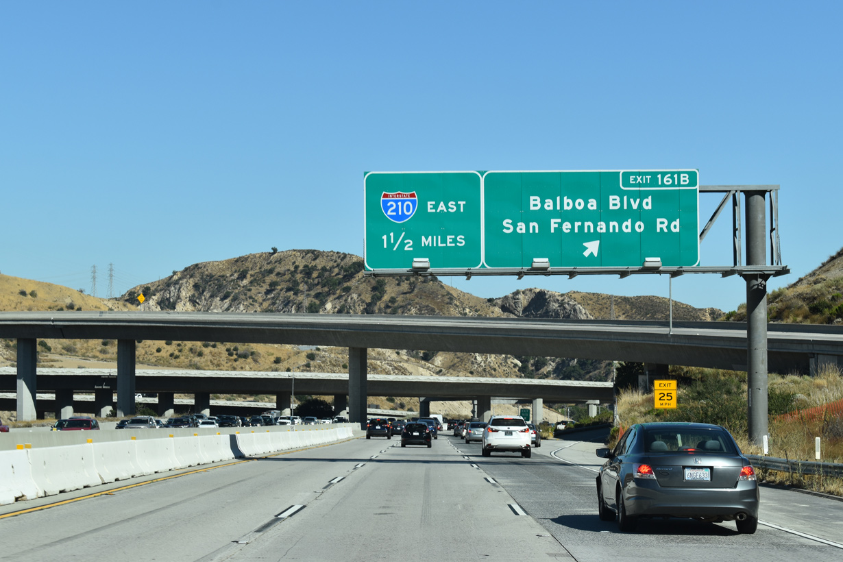
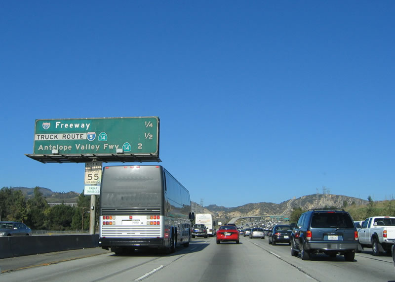
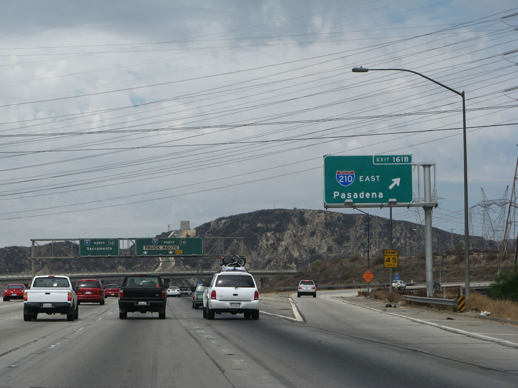
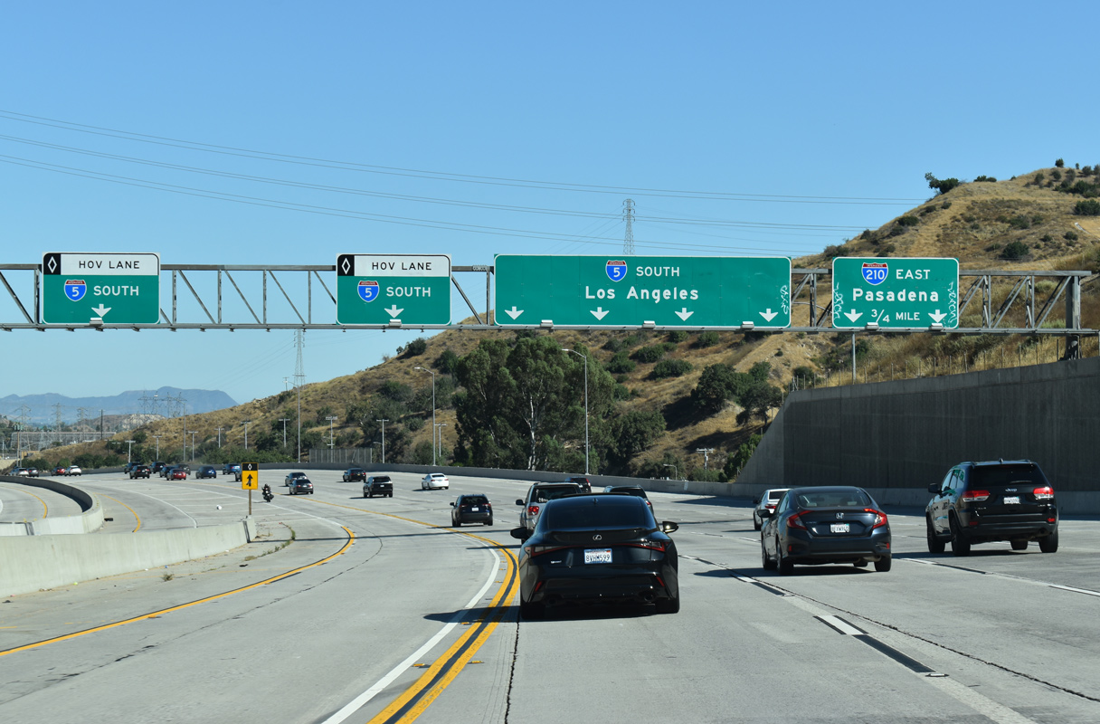
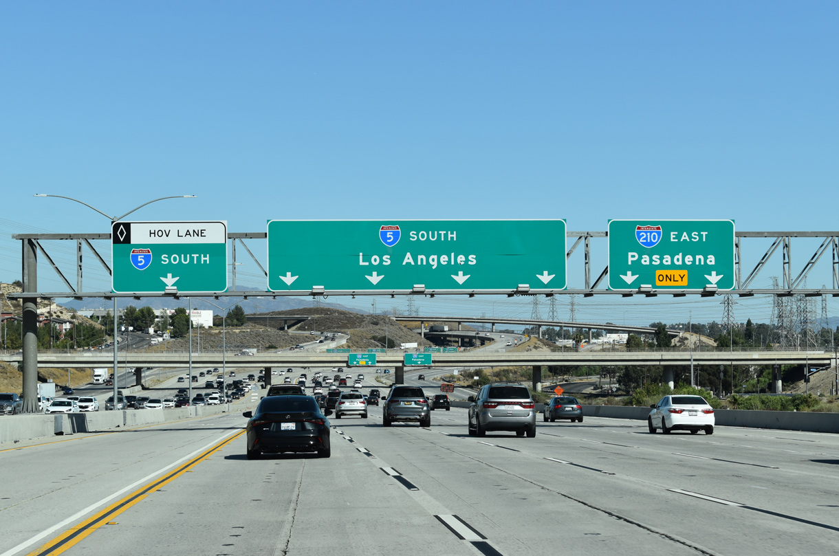
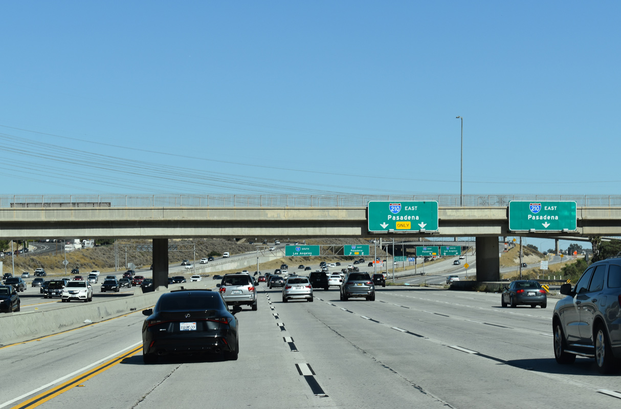
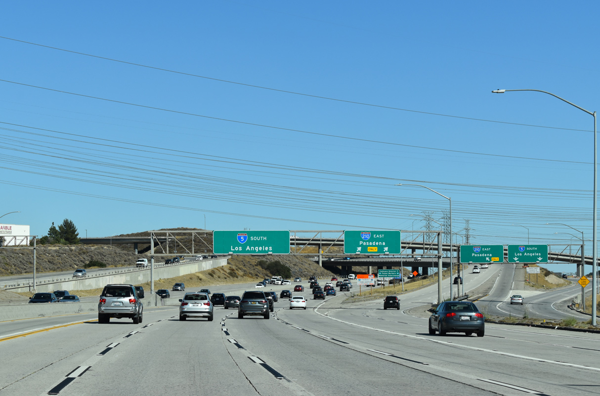
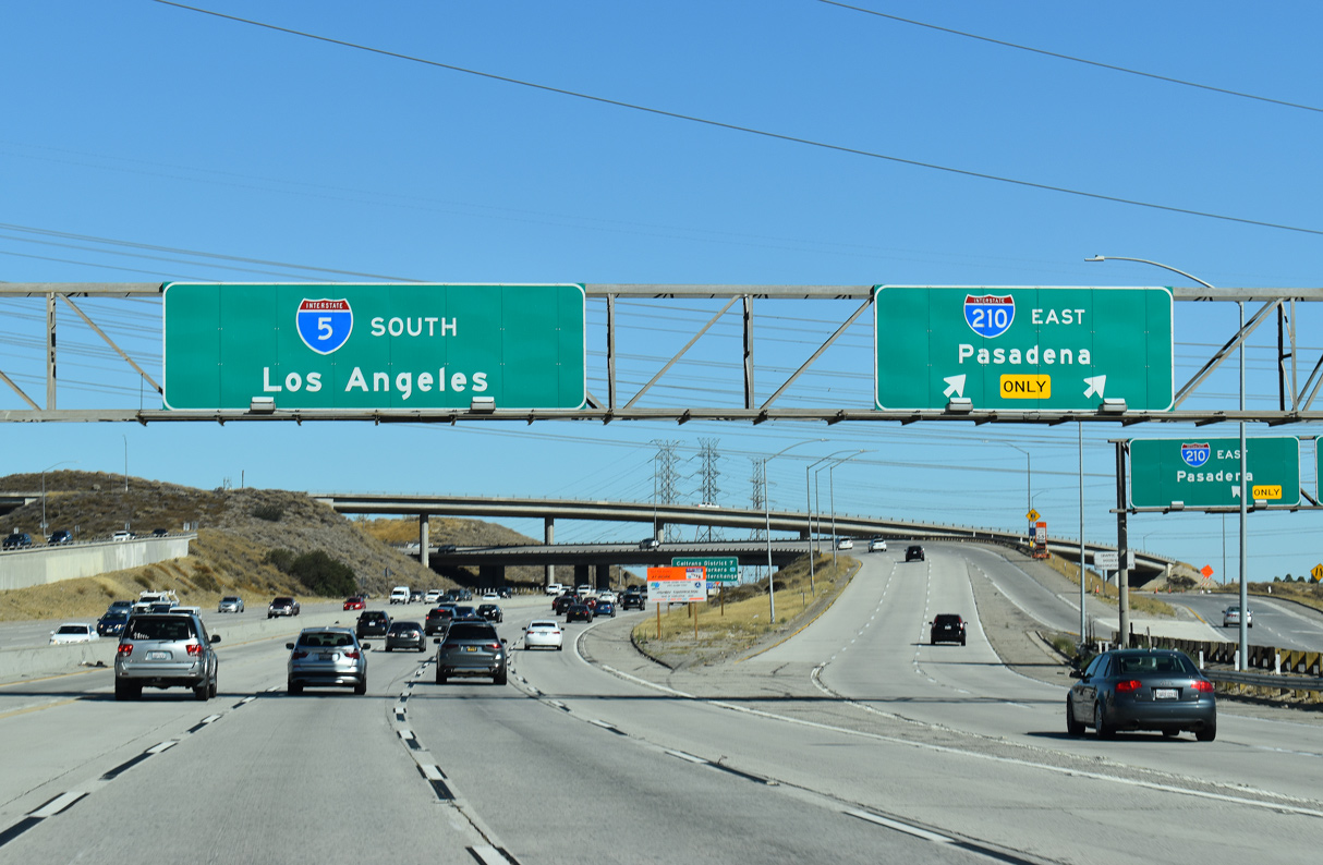
I-5 (Golden State Freeway) advances south from the Santa Clarita and the systems interchange with SR 14 (Antelope Valley Freeway) to I-210. Representing part of Historic U.S. 99 and also one time business routes for U.S. 99 and I-5, San Fernando Road passes through this exchange. 07/10/22
West End – Past Views
Past Views Gallery (Tap to Expand / Collapse Section)
at
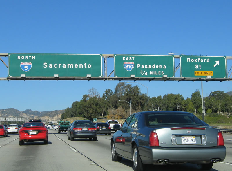
Replaced button copy signs along Interstate 5 north at Exit 159 for Roxford Street and Exit 161A for I-210 east. 11/25/04
References
- Parker, Scott. Personal Email: "210 Opening Next Week," July 20, 2007.
- California Department of Transportation (Caltrans). (July 2007). California Log of Bridges on State Highways. Retrieved from http://www.dot.ca.gov/hq/structur/strmaint/brlog2.htm<
- Parker, Scott. Personal Email: "RE: 210 opening next week," August 15, 2007.
- Moon, C.J. Personal Email: "210 Dates," August 25, 2007.
- Twiss, Adam. Personal Email: "RE: Interstate California 210," August 15, 2007.
- "Why isn't the new section of the 210 Freeway called Interstate 210?" Inland Valley Daily Bulletin (Rancho Cucamonga, CA), September 16, 2018.
- "Full-speed ahead." Highland Community News (CA), April 11, 2018.