
Interstate 579 Pennsylvania
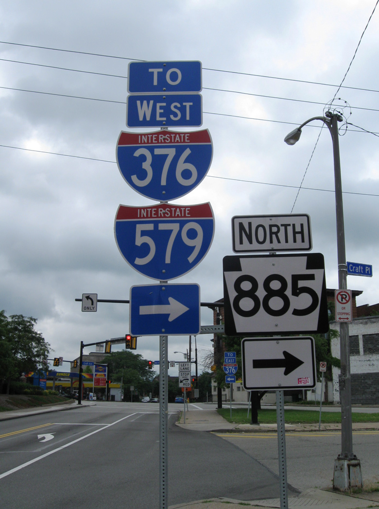
Overview
Interstate 579 is Crosstown Boulevard in Pittsburgh, an urban freeway spur from I-279 on the North Shore to Downtown and the Golden Triangle. The route crosses the Allegheny River along the Veterans Memorial Bridge to the north and ends at the approach to the Liberty Bridge above the Monongahela River to the south. The route concludes just shy of Interstate 376/U.S. 22-30 (Penn Lincoln Parkway East).
Mileage by State
| Pennsylvania | 1.55 mi |
Data Sources
December 31, 2025 Interstate Route Log and Finders List
I-579 Cap Urban Connector Project
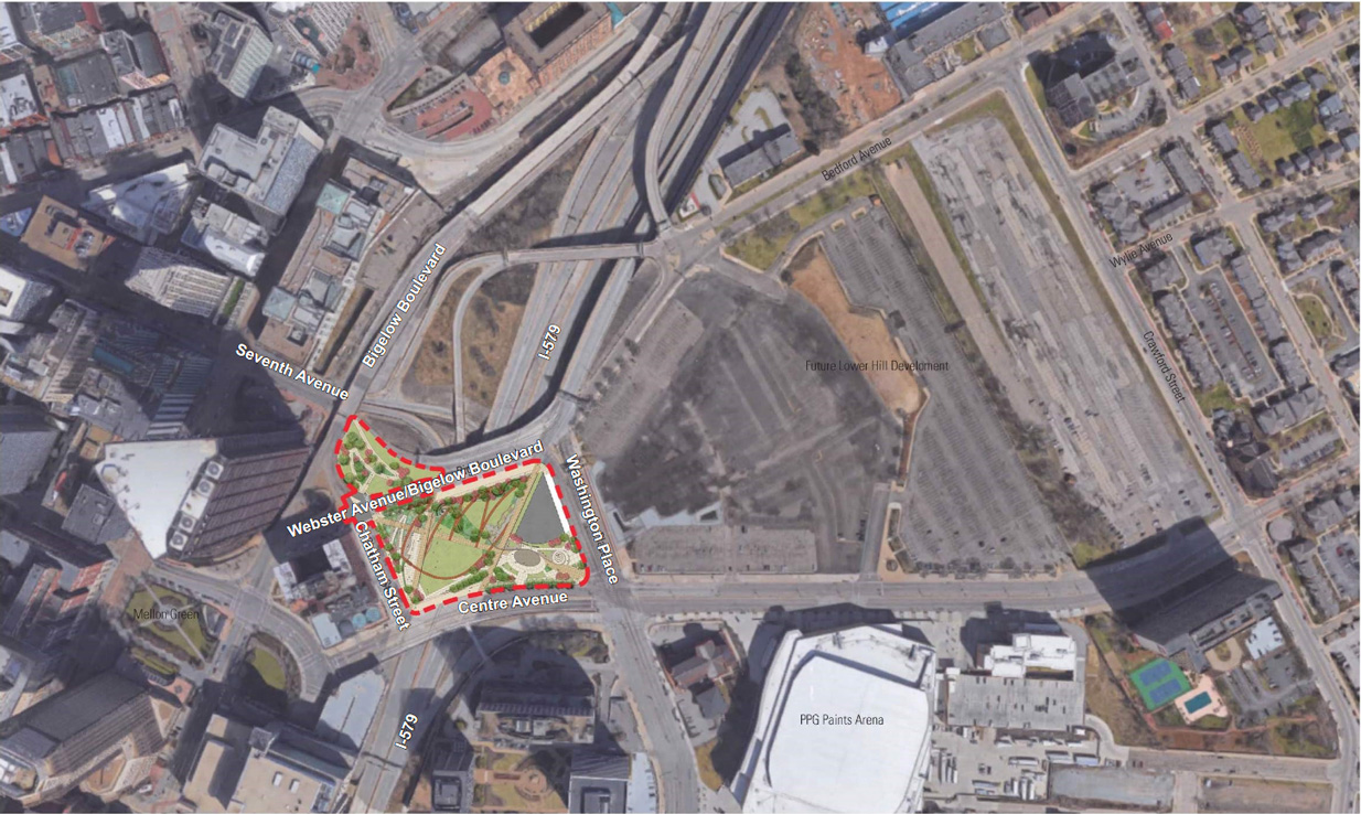
Interstate 579 separates the Pittsburgh central business district to the west with the historic Hill District to the east. A $32 million project reunited the two areas with a new deck supporting three acres of public open space spanning Crosstown Boulevard. Initially estimated to cost $26.4 million, the project received a $19 million Transportation Investment Generating Economic Recovery (TIGER) grant from the federal government in July 2016. The deck built over I-579 at the site of the former Civic Arena hosts a tree lined promenade and gardens. Developed by the Pittsburgh-Allegheny County Sports & Exhibition Authority, the adjacent 28 acre site was slated for offices, retail and 1,200 housing units.5
Final design work for the project was completed and bidding for construction of Cap Connection Park was underway in March 2019.7 A contract for the $32 million project was awarded in May 2019, followed by a notice to proceed on June 24, 2019.8 Construction on the I-579 Cap Urban Connector Project commenced on June 24, 2019. Work was substantially completed in November 2021, and a grand opening ceremony took place on November 22, 2021.9
History
Since the connection at the south end of I-579 with Interstate 376 is not a full interchange, the route is an odd-digit spur as opposed to an even-digit loop. Originally designated Interstate 479, the urban freeway was planned as a complete loop between I-79 along Parkway North and I-76 along Parkway East. With approval by the American Association of State Highway Officials (AASHO) on June 30, 1970, Interstate 479 was renumbered as I-876 when I-279 and I-79 traded places. The designation changed again in 1971 to I-579, as the freeway would not directly connect with newly designated Interstate 376 along Penn Lincoln Parkway east.
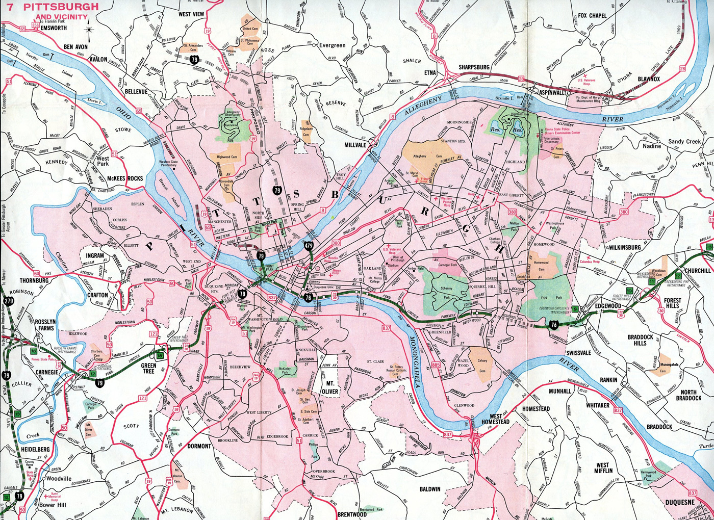
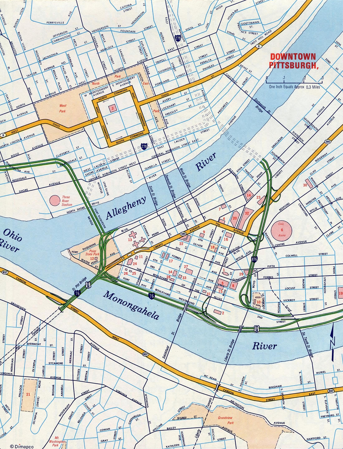
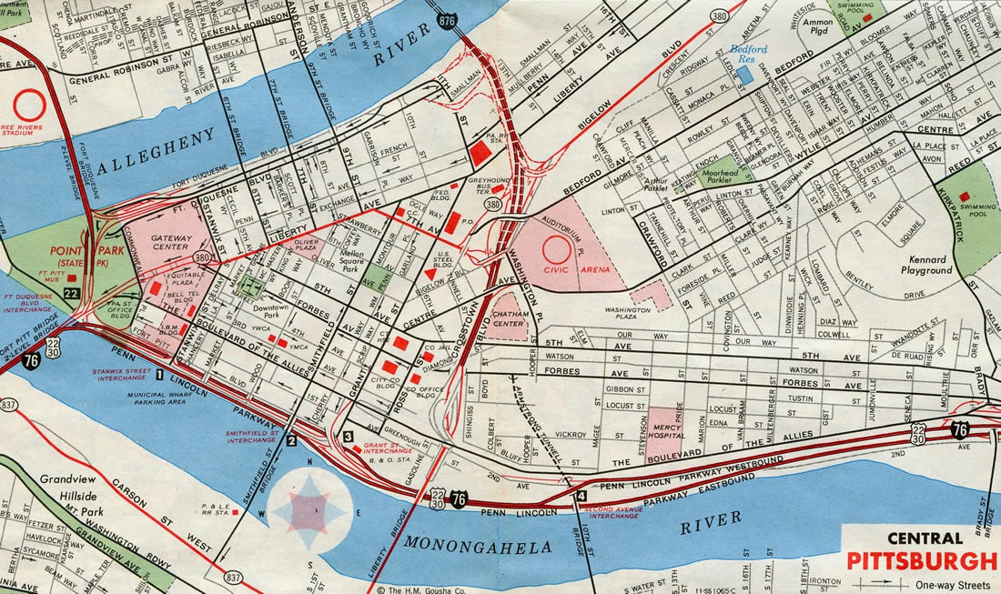
Interstate 579 was built in stages, with the Crosstown Boulevard portion, between the Boulevard of the Allies (PA 885) and Centre Avenue opened in 1962, and from Centre Avenue to Bigelow Boulevard (PA 380) completed in 1964.1,2 Construction on the Veterans Bridge commenced in 1984 at a cost of around $16 million. The span was incorporated into the overall $400 million project for the North Shore Expressway / Interstate 279. The Veterans Bridge opened initially in 1988 and fully in Fall 1989 with the completion of the I-279 connectors.3
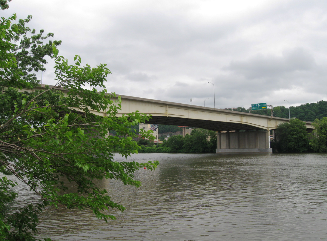
The Veterans Memorial Bridge is a steel girder bridge. It accommodates seven overall lanes and is 1050 feet long. The span provides three continuous lanes for I-579 south, two lanes with an auxiliary lane for I-579 north, and a reversible HOV lane between the two roadways. The I-579 HOV lanes extend southward from the carpool lanes on I-279 to Bedford and 7th Avenues at Downtown.
The Liberty Bridge is not a part of Interstate 579. The bridge, which was built in 1926-1928, predates Crosstown Boulevard and is designated as SR 3069.1 It is a steel cantilever bridge carrying four lanes over the Monongahela River with the center lanes reversible. A traffic signal at McArdle Roadway is the only break in continuous flow between the Liberty Bridge and the Liberty Tunnels. The tunnels were built in 1924 by Allegheny County and at 5,889 feet each in length, are the longest tunnels in the Pittsburgh metropolitan area.4
North End  ‐ Pittsburgh, PA
 North at
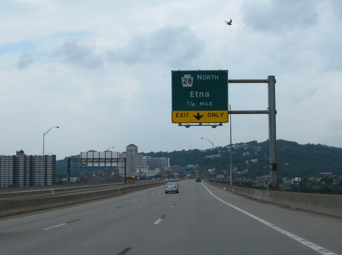
An HOV roadway lines the inside lanes of the Veterans Bridge as Interstate 579 elevates over Pittsburgh Station and parking lots south of the Allegheny River. A wye interchange lies a quarter mile ahead with the PA 28 freeway northeast to Etna. 06/14/10
Penn-Lincoln Parkway North – South at
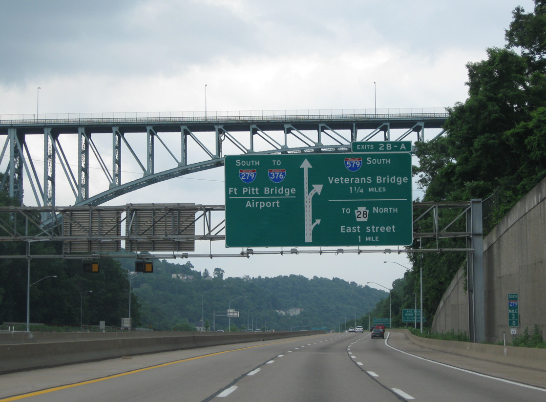
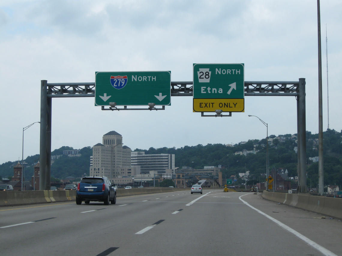
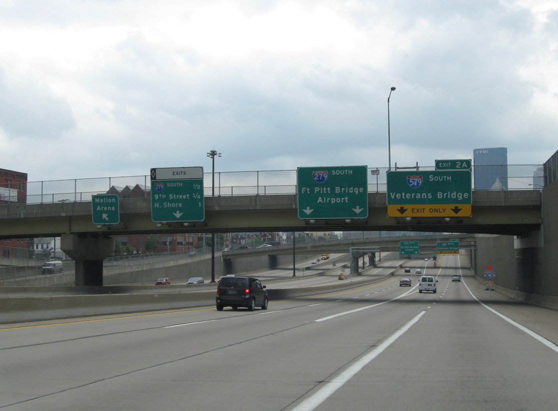
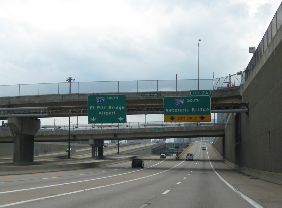
The first in a series of overheads for the I-279 south wye interchange (Exit 2A) with Interstate 579 and the Veterans Bridge precedes the high-level Swindell Bridge. 06/14/10
 South at
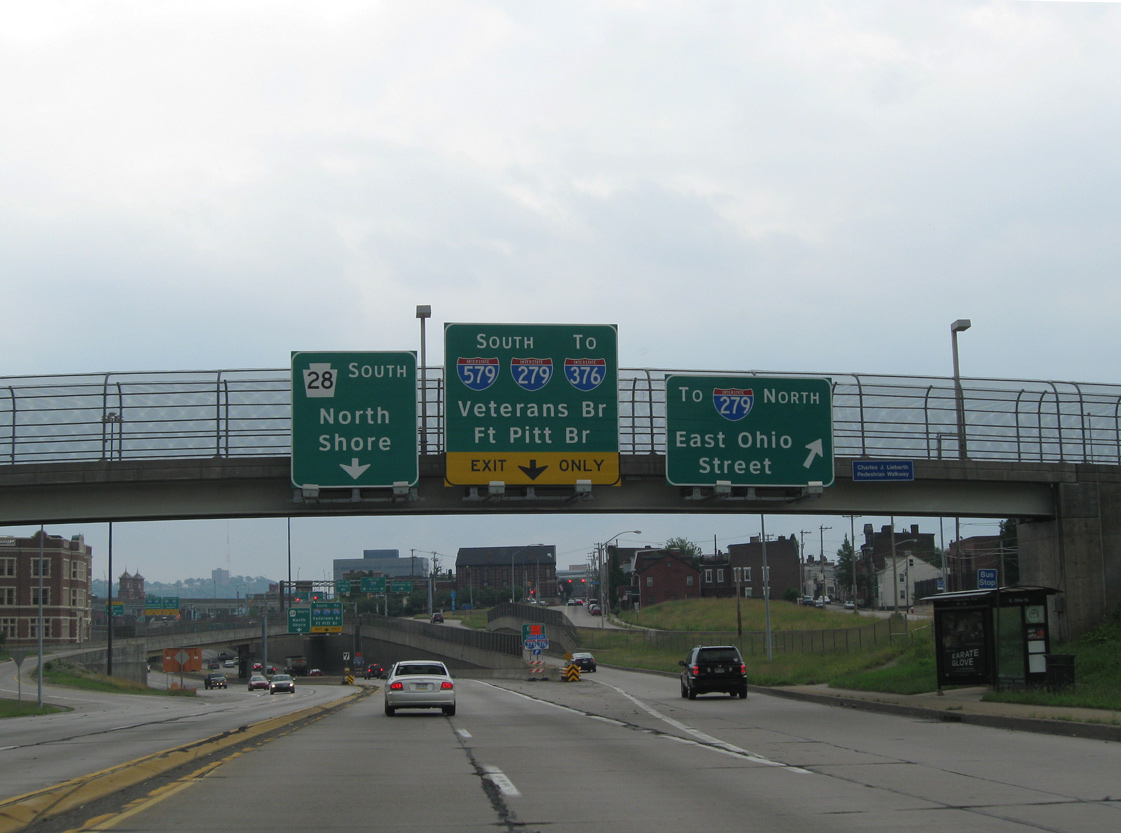
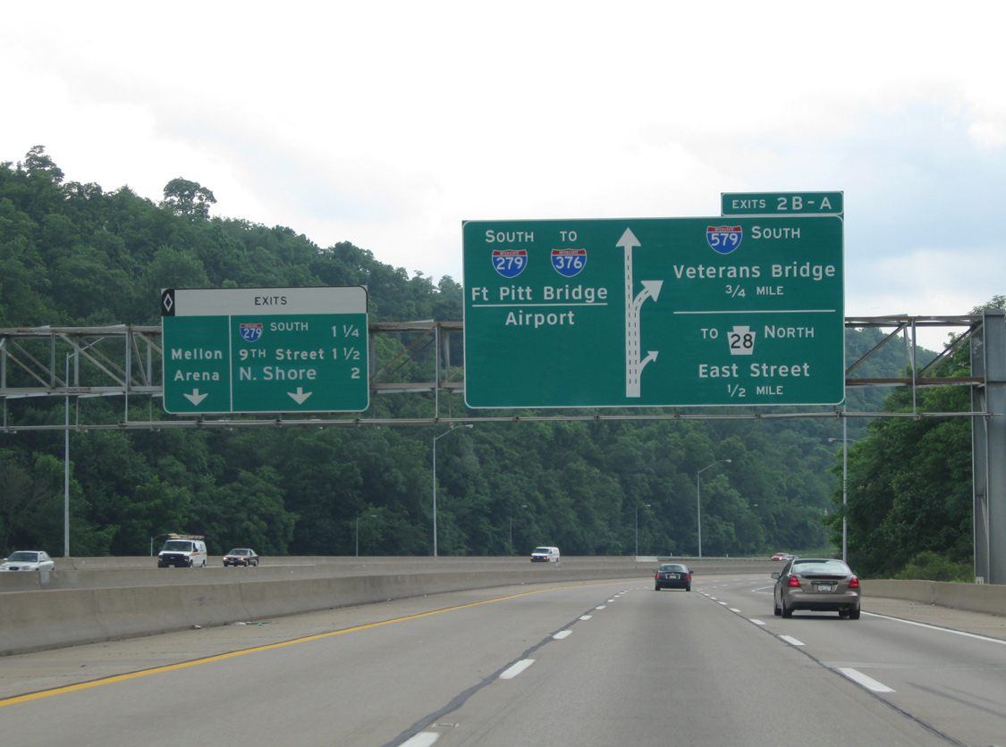
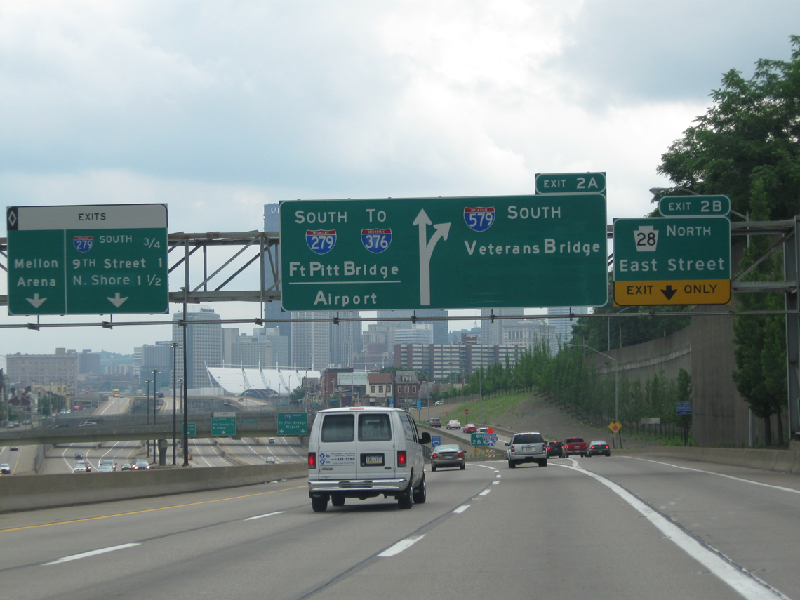
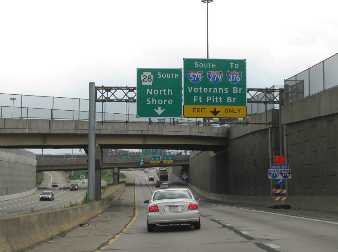
PA 28 travels through the Troy Hill neighborhood of Pittsburgh to the exchange with I-279 and I-579. Improvements made to the PA 28 freeway by 2015 include a new concrete surface, a barrier median and exit numbers for I-279 (Exits 1B/A). 06/11/10
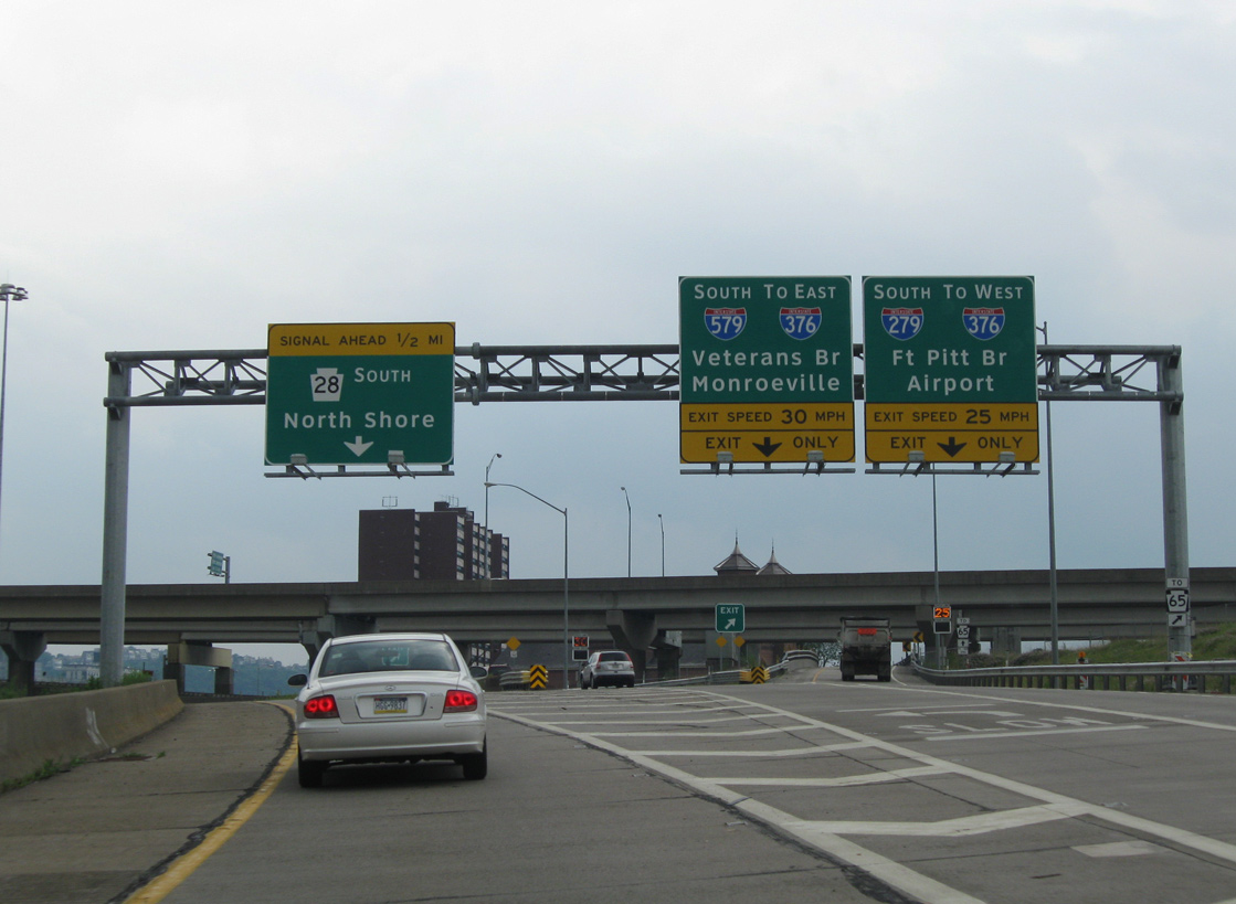
South End ‐ Liberty Bridge Approach – Downtown Pittsburgh, PA
South at Liberty Bridge Approach
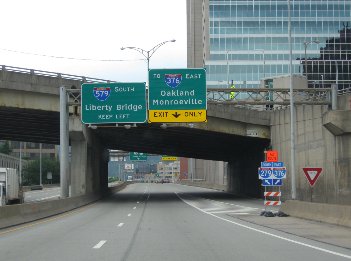
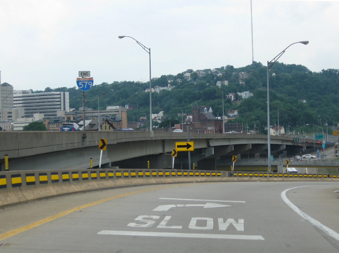
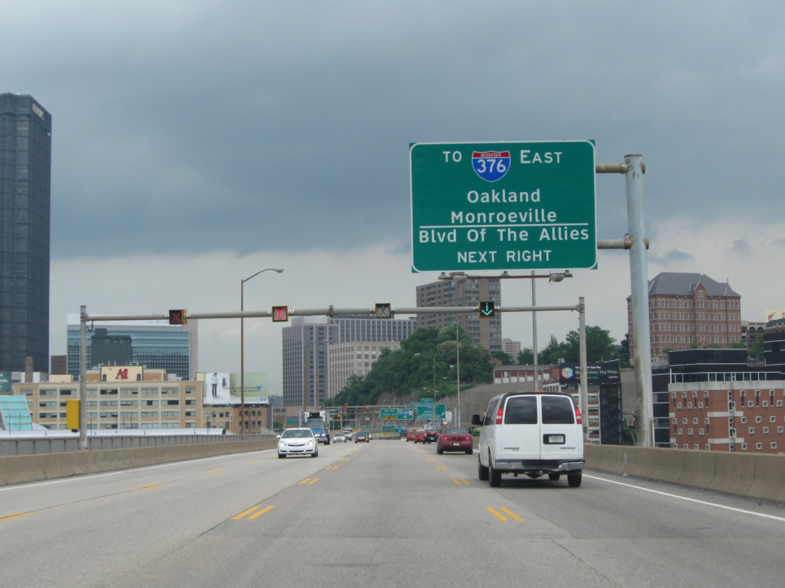
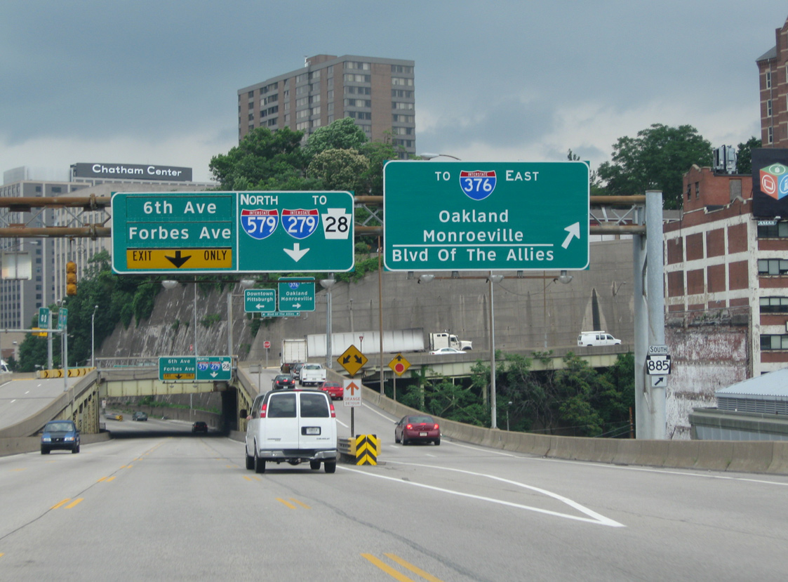
Interstate 579 travels below grade from PA 380 (Bigelow Boulevard) to Centre Avenue, where it elevates across Fifth Avenue to the Liberty Bridge north end and trumpet interchange with Boulevard of the Allies (PA 885). 06/14/10
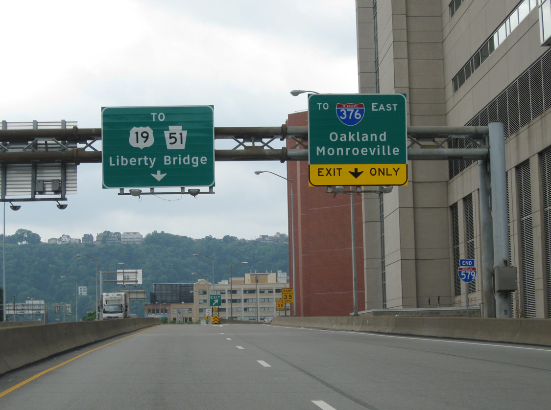
Liberty Bridge – North at
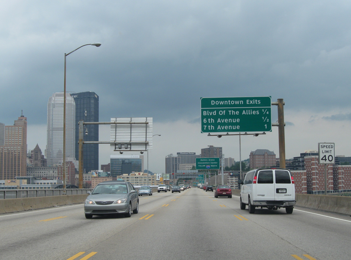
A community interchanges identification sign outlines the three mainline exits from Interstate 579 north for Downtown Pittsburgh to northbound drivers across the Liberty Bridge. 06/14/10


 Penn-Lincoln Pkwy East – East at
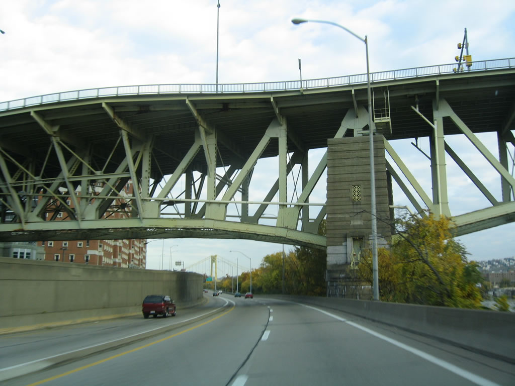
There is no connection from eastbound Interstate 376/U.S. 22-30 (Penn-Lincoln Parkway East) to I-579 or the Liberty Bridge over the Monongahela River. Here, Interstate 376 east passes under the Liberty Bridge. 10/28/04
Penn-Lincoln Pkwy East – West at
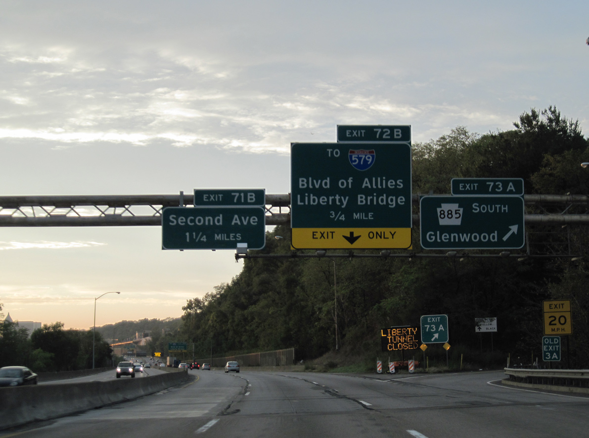
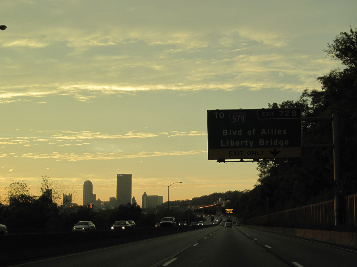
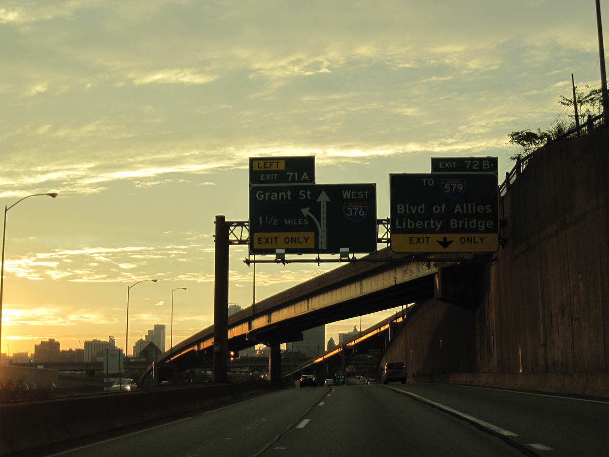
Exit 73A loops onto PA 885 (Bates Street) south to 2nd Avenue and Irvine Street as Interstate 376/U.S. 22-30 advances 0.75 miles to a wye interchange (Exit 72B) for PA 885 (Boulevard of the Allies) north to I-579. Interstate 376 meets the Monongahela River for the first time on this stretch. The two will closely follow each other all the way to the Point, where the Monongahela River feeds into the Ohio River. 09/30/10
South End – Past Views
Past Views Gallery (Tap to Expand / Collapse Section)
Penn-Lincoln Pkwy East – West at
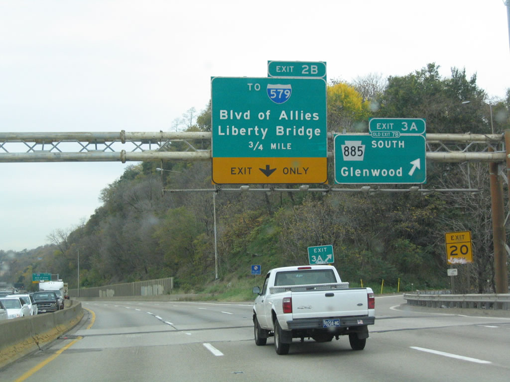
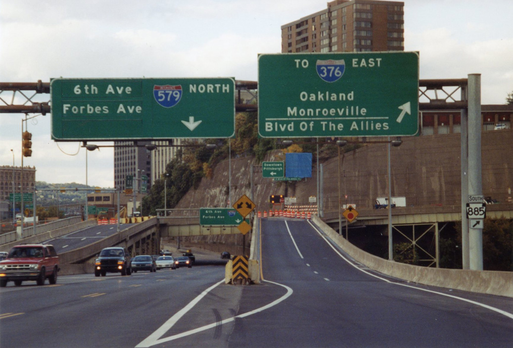
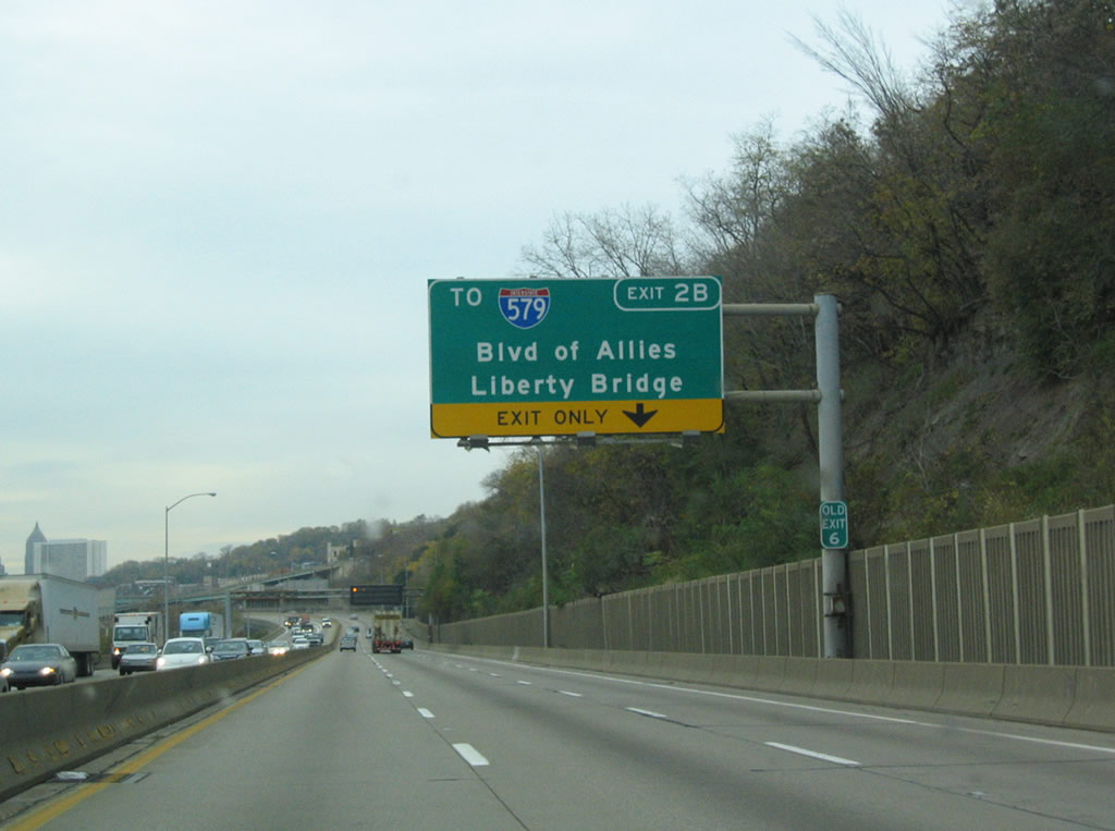
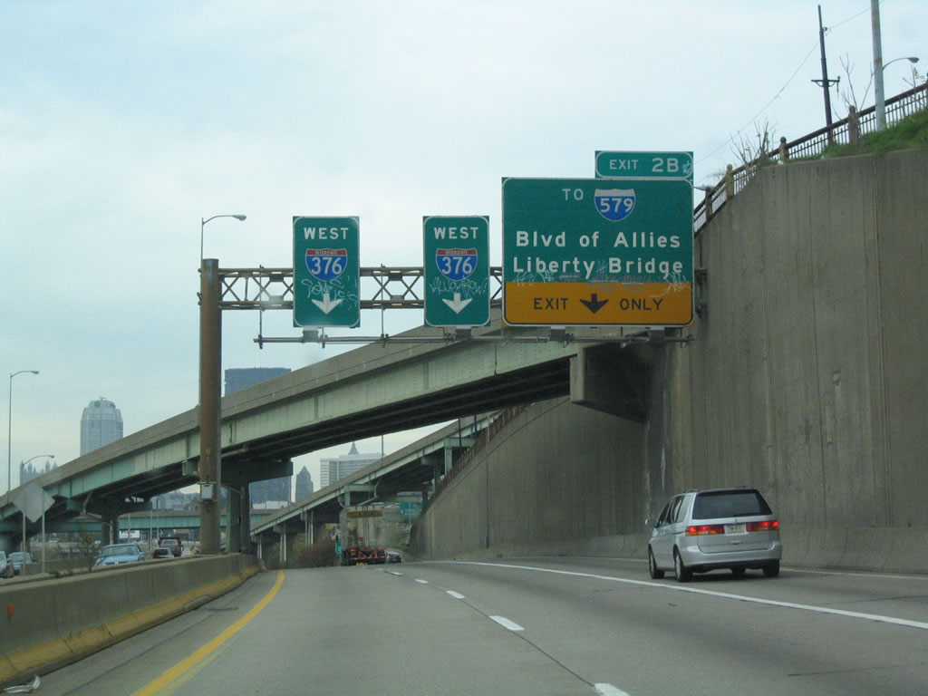
The first signage for Interstate 579 appeared as then Exit 3A (old Exit 7B) departed from I-376/U.S. 22-30 west for PA 885 south. Button copy signs here were replaced after 2007, following the extension of I-376 northward to Sharon and subsequent exit renumbering of the route. 11/02/04
References
- Cridlebaugh, B. (2000, November 3). Liberty Bridge. Bridges and Tunnels of Allegheny County and Pittsburgh, PA. Retrieved from http://www.pghbridges.com/pittsburghE/0585-4476/libertybr.htm
- Kitsko, J. (2025, February 18). Interstate 579. Pennsylvania Highways. Retrieved from https://www.pahighways.com/interstates/I579.html
- The Bridges of Pittsburgh: Veterans Memorial Bridge. (2013, July 21). Pittsburgh Post-Gazette.
- Cridlebaugh, B. (2001, September 12). Liberty Tunnel. Bridges and Tunnels of Allegheny County and Pittsburgh, PA. Retrieved from http://www.pghbridges.com/pittsburghW/0584-4474/liberty_tun.htm
- Feds announce $19 million grant for Hill District, Downtown project. (2016, July 29). Pittsburgh Post-Gazette.
- Erroneous Penndot Sign Sends Wrong Signal to Visitors. (1991, August 4). Pittsburgh Post-Gazette.
- Penguins Introduce "Center of Energy" Plan for Lower Hill Redevelopment. (2019, March 8). Penguins News. Retrieved from https://www.nhl.com/penguins/news/penguins-redevelopments/c-305568050
- Lower Hill Redevelopment Project - I-579 "Cap" Urban Connector Project. (2019, January 14). Pittsburgh Sports & Exhibition Authority. Retrieved from http://www.pgh-sea.com/LHR-i579cap.htm
- Sports & Exhibition Authority. (2019). I-579 "Cap" Urban Connector Project. Retrieved from https://www.pgh-sea.com/index.php?path=i5-ucp