Interstate 275 Cincinnati, Ohio Beltway


Overview
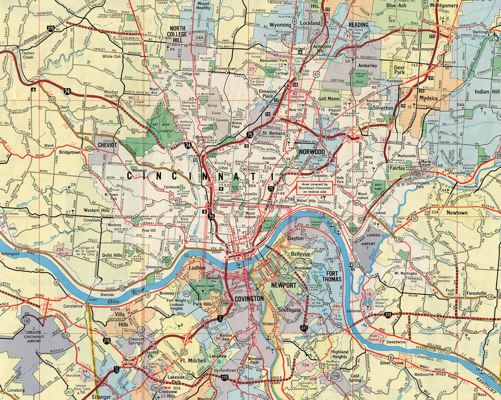
Interstate 275 follows the Donald H. Rolfe Circle Freeway around the Cincinnati, Ohio metropolitan area. The beltway runs concurrent with a 3.45 mile section of I-74 and spans the Ohio River across two high level bridges. I-275 is the only branch route within the Interstate Highway System to enter three states. Furthermore, I-275 in Indiana is the only instance of a branch route entering a state in which the parent route does not.
The Circle Freeway mostly acts as a commuter route for Cincinnati/Northern Kentucky International Airport (CVG) and the various suburbs of Cincinnati, Ohio and Covington and Newport, Kentucky. The beltway also provides a bypass from southeast Indiana to Northern Kentucky and part of an alternate route avoiding the Brent Spence Bridge along I-71/75 across the Ohio River.
Mileage by State
| Indiana | 3.16 mi |
| Kentucky | 24.58 mi |
| Ohio | 55.45 mi |
Data Sources
December 31, 2021 Interstate Route Log and Finders List
KYTC Functional Classification Interactive Map. https://maps.kytc.ky.gov/functionalclass/
June 18, 2025 Ohio Department of Transportation (ODOT) Straight Line Diagrams. https://www.transportation.ohio.gov/programs/technical-services/tech-services-card-catalog/sld
History
Interstate 275 was part of the urban Interstate numerology for Ohio approved by the American Association of State Highway Officials (AASHO) on November 10, 1958. Originally classified as Interstate Route A-74, the initial route constituted an arc bypassing Cincinnati to the north from I-74 at Miamitown east to I-71 ear Highpoint.

Some portions of Interstate 275 in Ohio were opened by 1961. The beltway was fully completed in the Buckeye State by 1980 (Simpson, 1998). It was formally named the Donald H. Rolf Circle Freeway in 1982 (The Kentucky, 2002).
The short segment of I-275 through Indiana, including the Carol C. Cropper Bridge over the Ohio River, was finished in 1979 (Mecklenborg, 2005).
The course of I-275 through Boone County, Kentucky was selected based upon a desire to include Indiana in the planning for a Greater Cincinnati circle freeway. The idea for a new bridge spanning the Ohio River from Boone County dated back to the early 1950s with support of Boone County Judge Carroll Cropper and U.S. Representative Earl Wilson of Indiana. A bill was introduced by Rep. Wilson in April 1956 for the establishment of the Lawrenceburg Bridge Company. It involved financing construction of a new span with a bond issue and paying bonds off with tolls. The bill passed, but with 1958 cost estimates of $10 million for the bridge, progress crawled (The Kentucky, 1993).
Planning was underway during the late 1950s for the Circumferential Highway through the Cincinnati suburbs east from U.S. 50 in Cleves to U.S. 25 in Clermont County. Those plans were eventually combined with the Boone County bridge concept in November 1961 as part of the Greater Cincinnati Metropolitan Area Bypass (The Kentucky, 1993).
Renamed the Circle Freeway, the Federal Bureau of Public Lands approved the alignment for I-275 across Northern Kentucky in March 1963. The 24 mile long route was estimated to cost $50 million and land acquisition was underway by 1967 (The Kentucky Post, 1998).
Petersburg was selected for the Ohio River crossing in Boone County instead of a location closer to Lawrenceburg, Indiana. Bids for construction on the new bridge were taken by the state in March 1968, with construction of the four main piers in the Ohio River underway by June 1968 (The Kentucky, 1993).
Pier construction extended to Summer 1972, when work started on the steel floor beams for the bridge. The bridge project culminated in Kentucky in May 1974, leaving just the deck to be completed. However on the Indiana side of the river, contracts for I-275 paving were just being awarded. As such, the bridge was relegated to sit idle for several years (The Kentucky, 1993).
A dedication ceremony was scheduled for December 6, 1977, but a major snowstorm forced the event to take place indoors and delayed the bridge opening. Bridge proponent Carroll Cropper did not live to see the span completed, but he was honored as the bridge's namesake by Governor Julian Carroll (The Kentucky, 1993).
The Kenton County portion of Interstate 275 was finished on November 10, 1977 with the opening between U.S. 25 (Dixie Highway) and KY 16 (Taylor Mill Road) (The Kentucky, 2002). The remainder of I-275 across Kentucky was completed in December 1979 (The Kentucky, 1993), with the dedication of the Combs-Heel Bridge in Campbell County on December 19. The cantilever bridge is named for Governor Bert Combs and Campbell County Judge-Executive Lambert Hehl (The Kentucky, 2002)
North End  ‐ Sharonville, OH
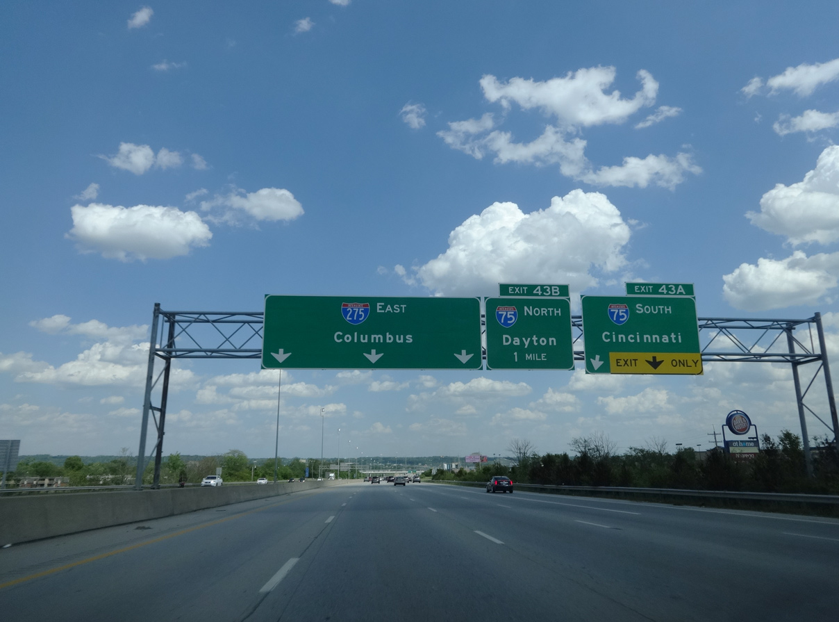
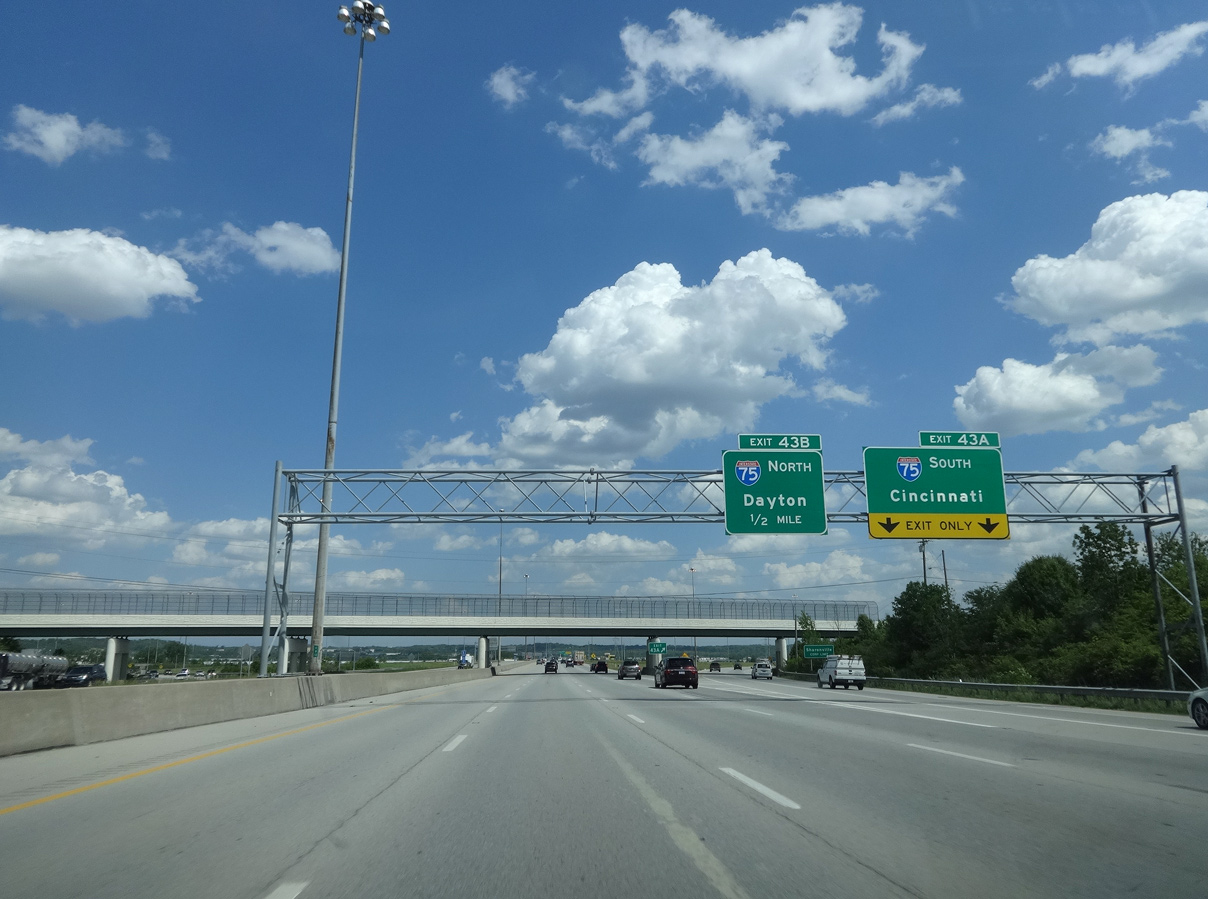
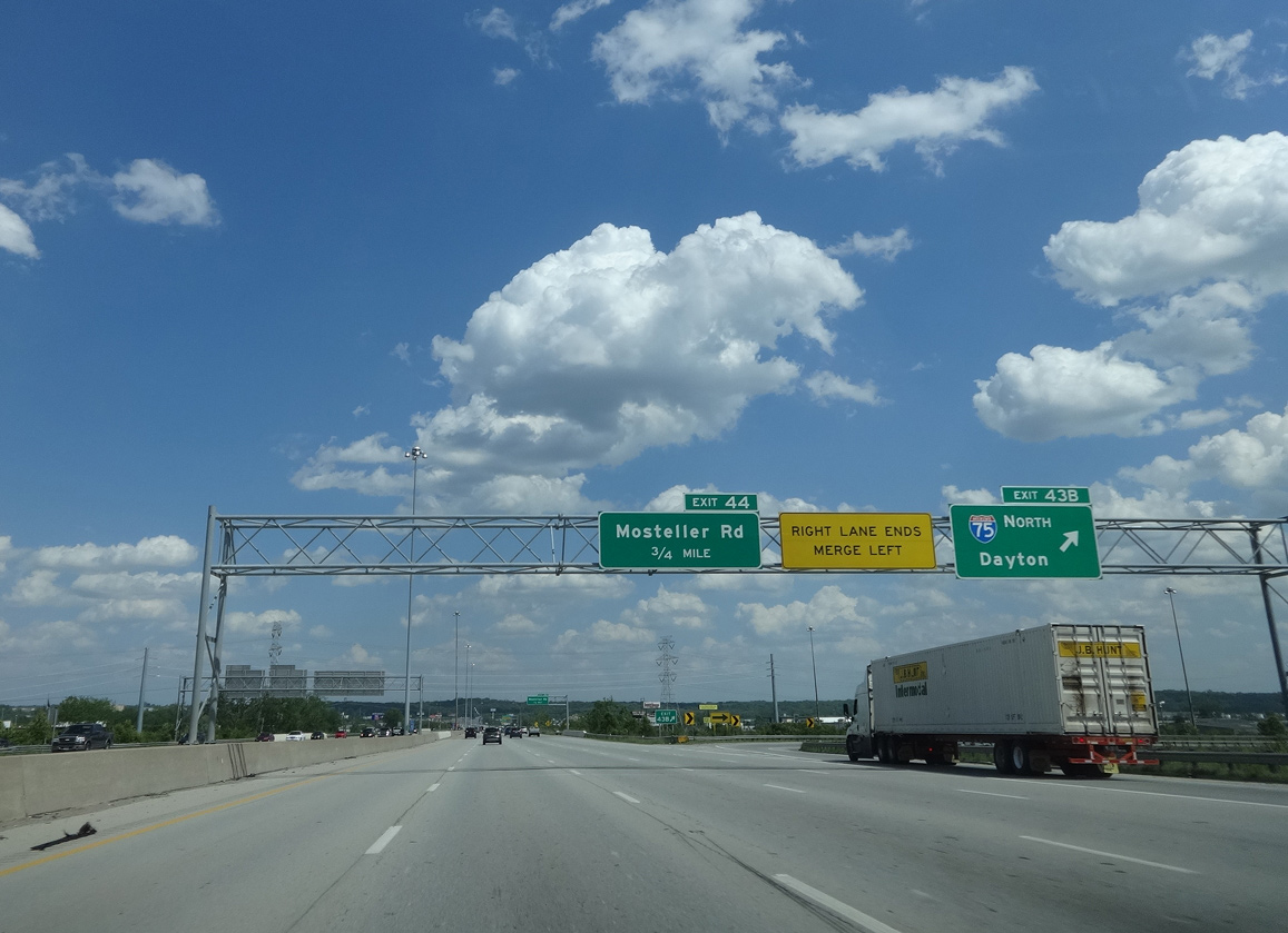
 East at
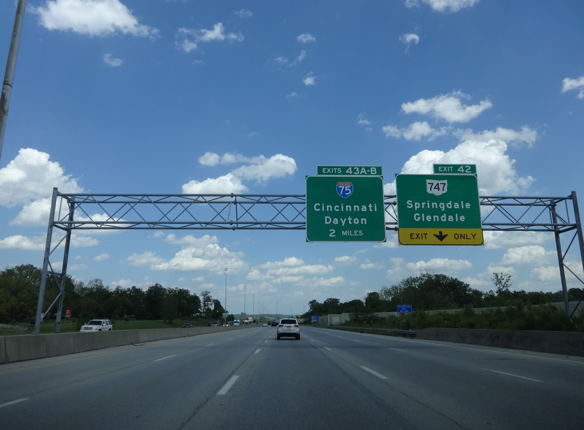
I-275 meets SR 747 (Princeton Pike) adjacent to Tri-County Mall in Springdale, one mile ahead of Exit 43A for I-75 south. 08/15/24
West at
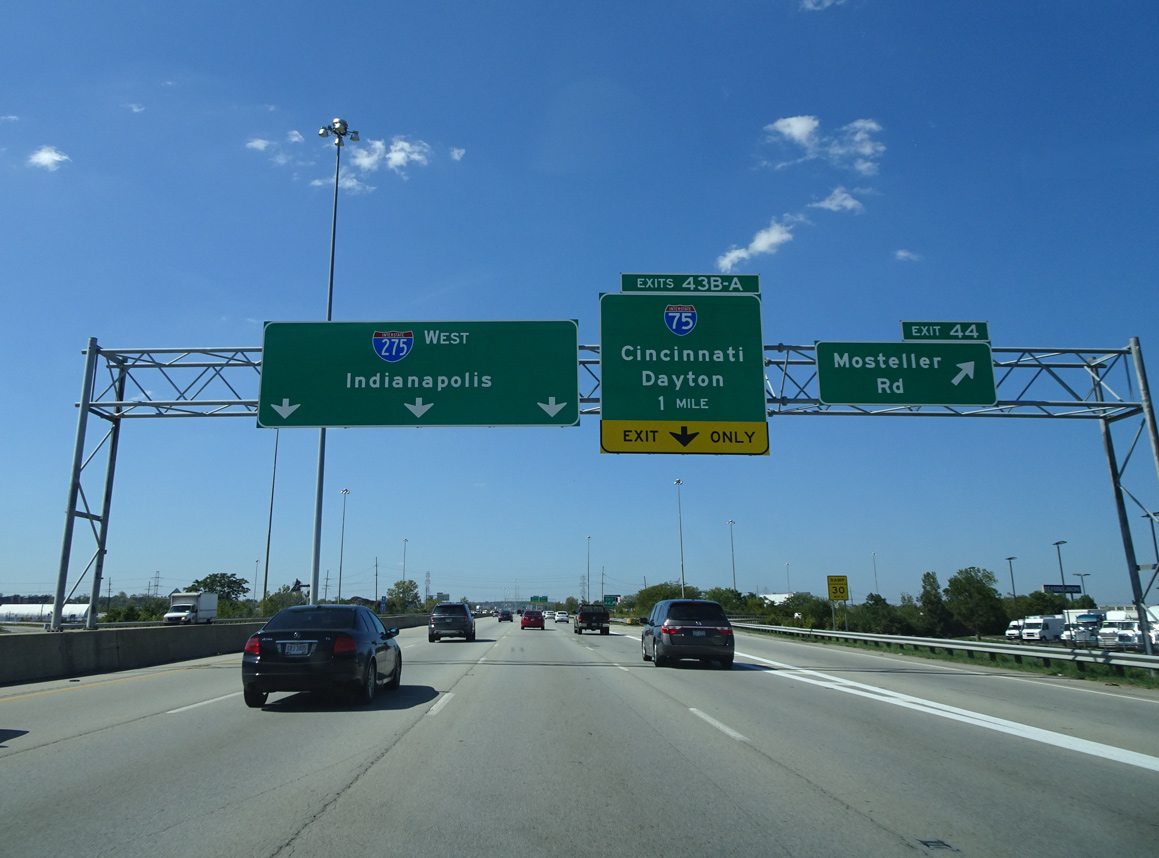
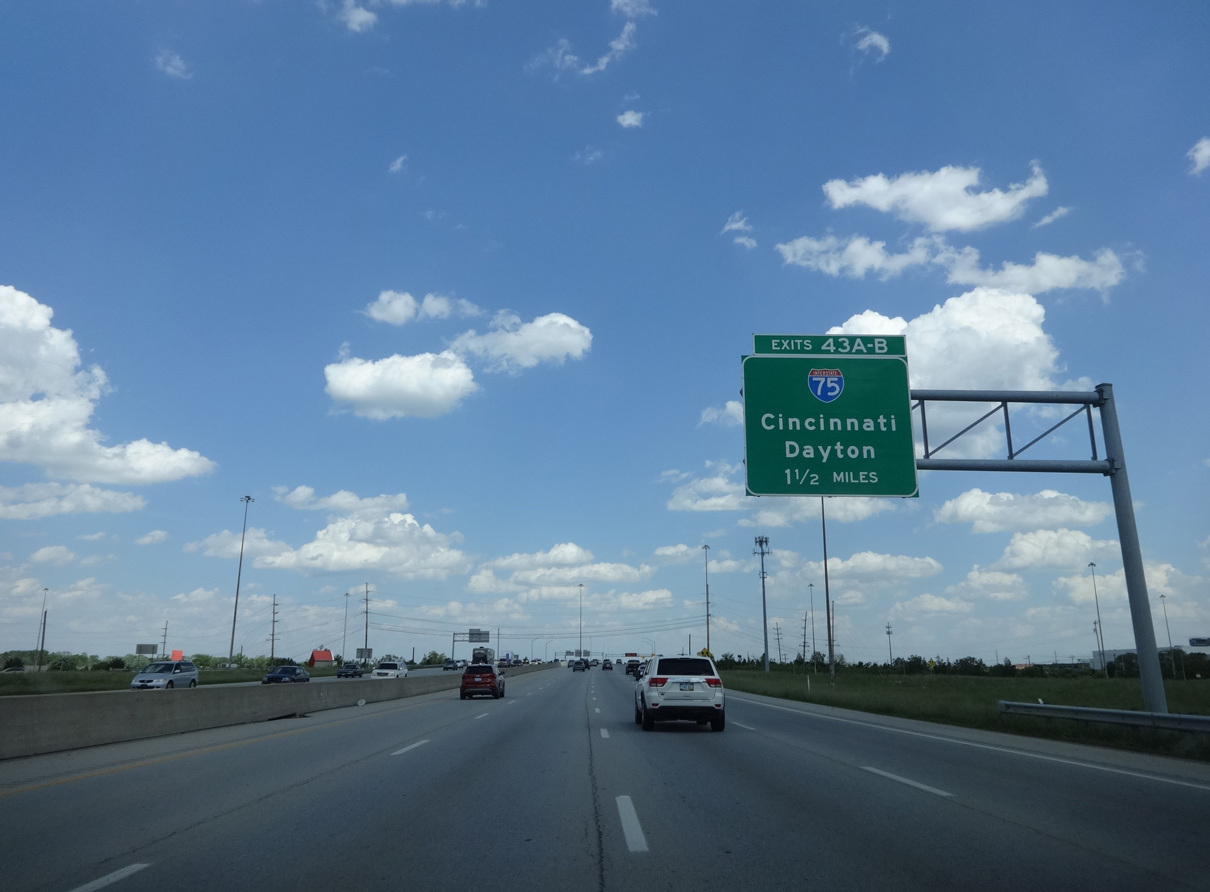
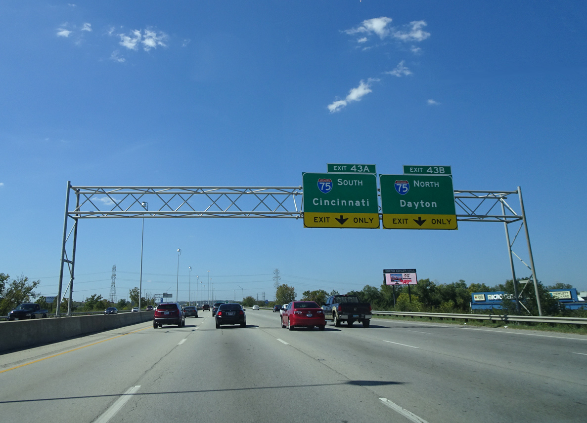
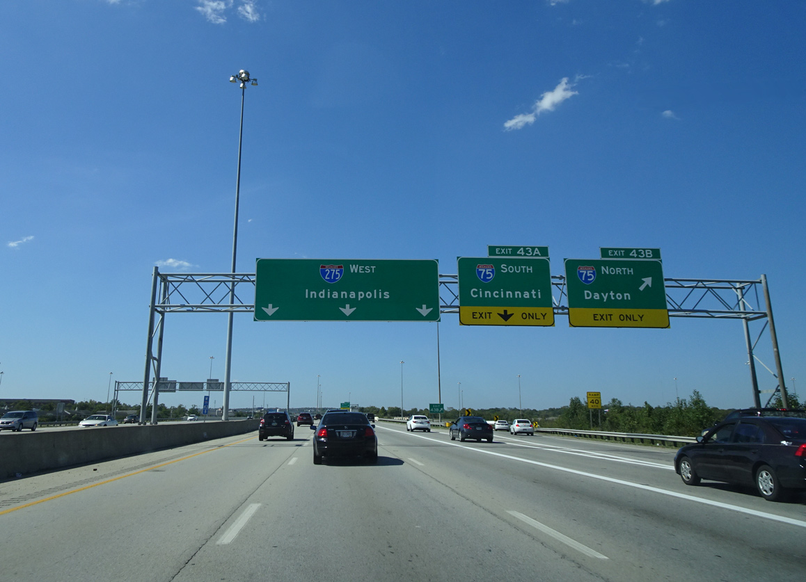
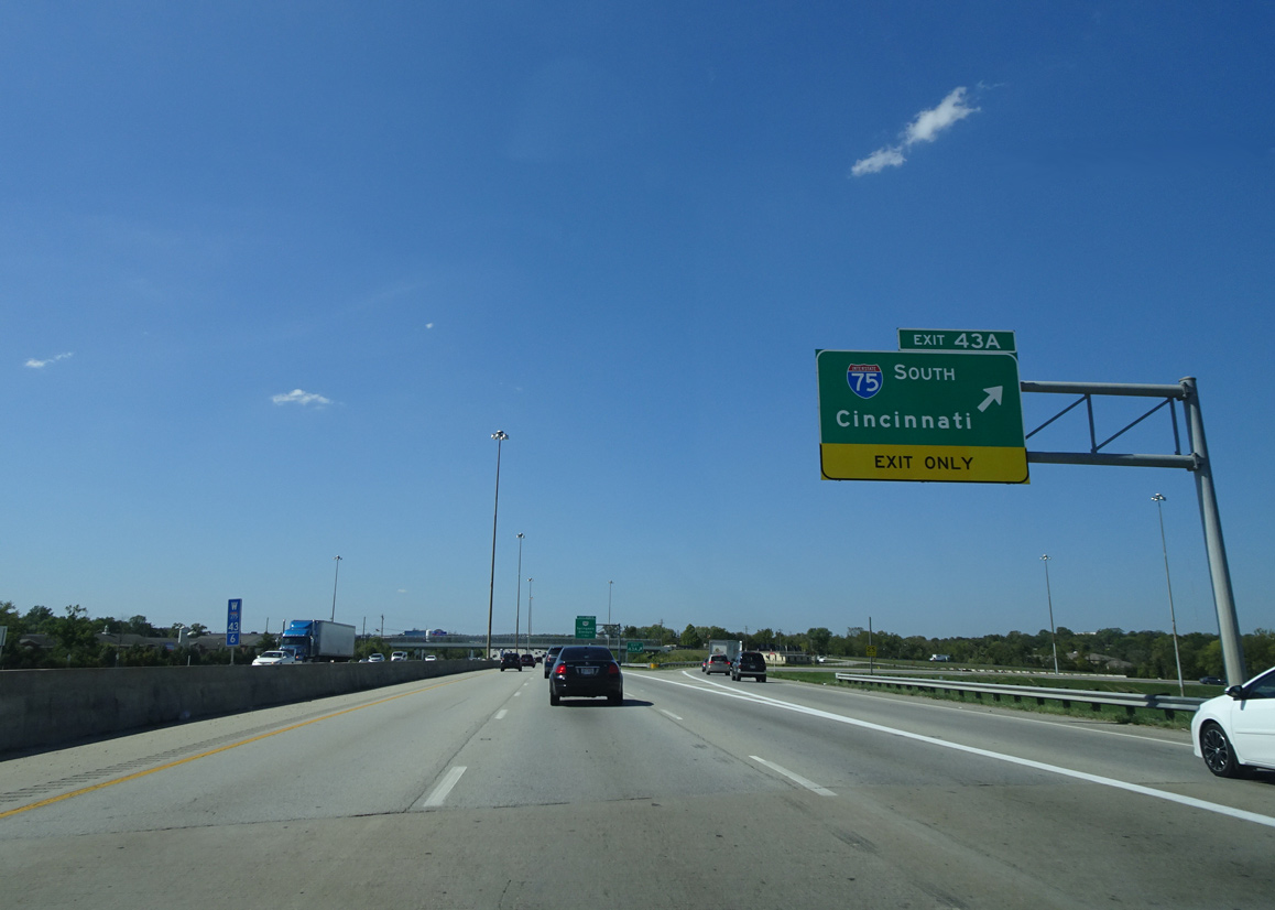
Interstate 275 runs across the city of Sharonville west to I-75 at Exit 43. Photo by Eric Stuve (09/24/17).
North at
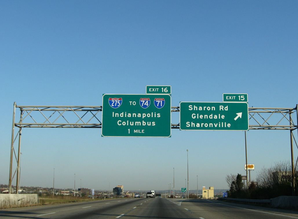
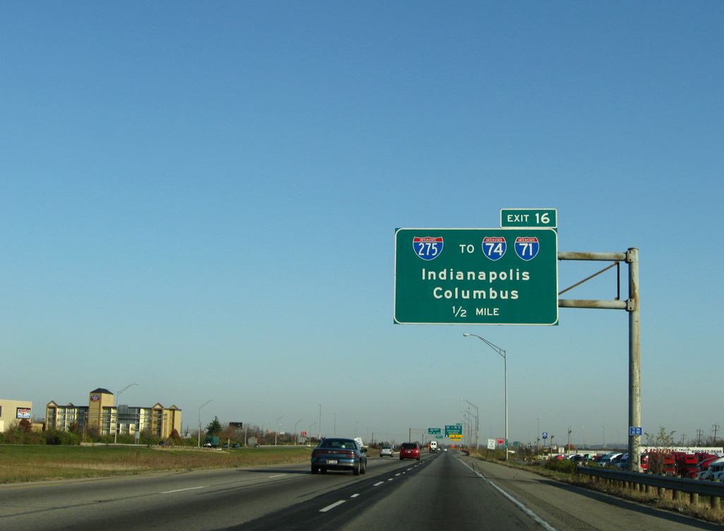
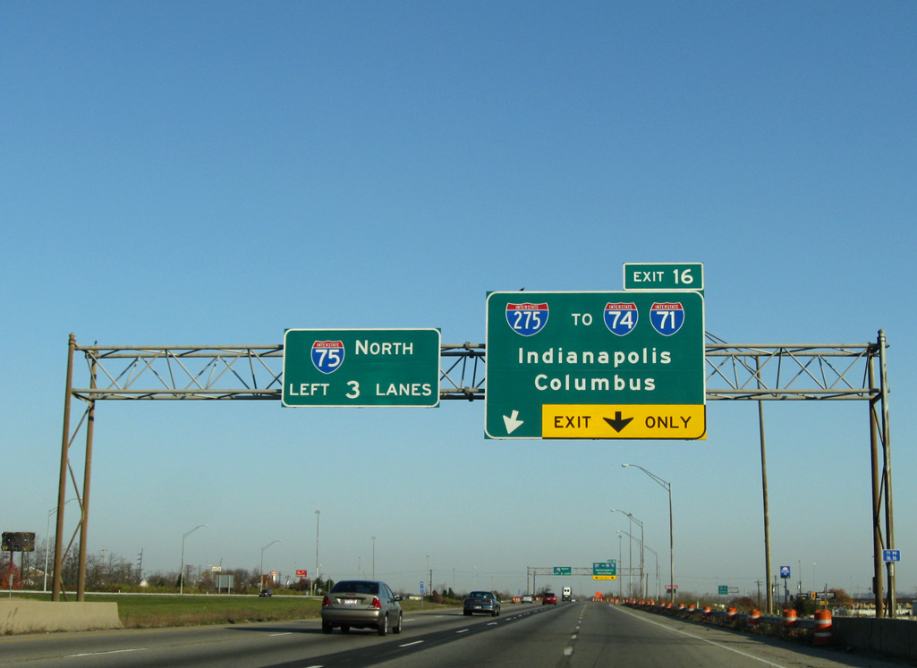
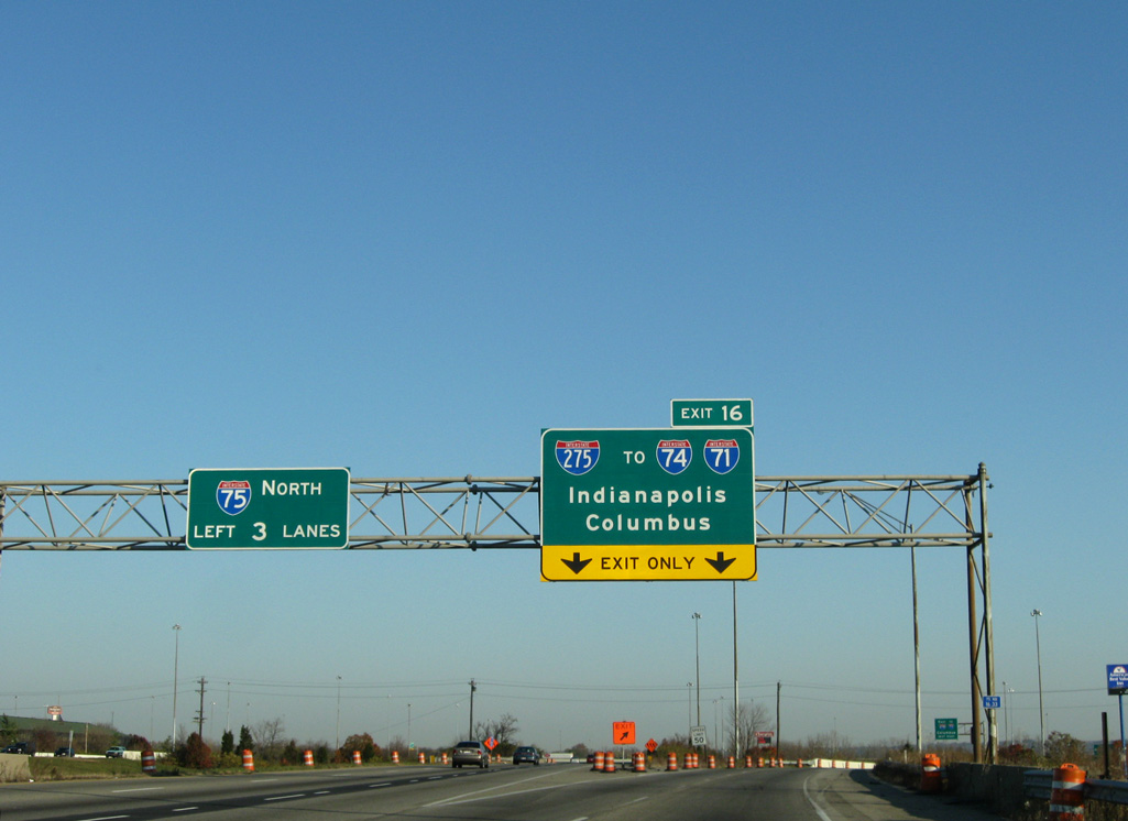
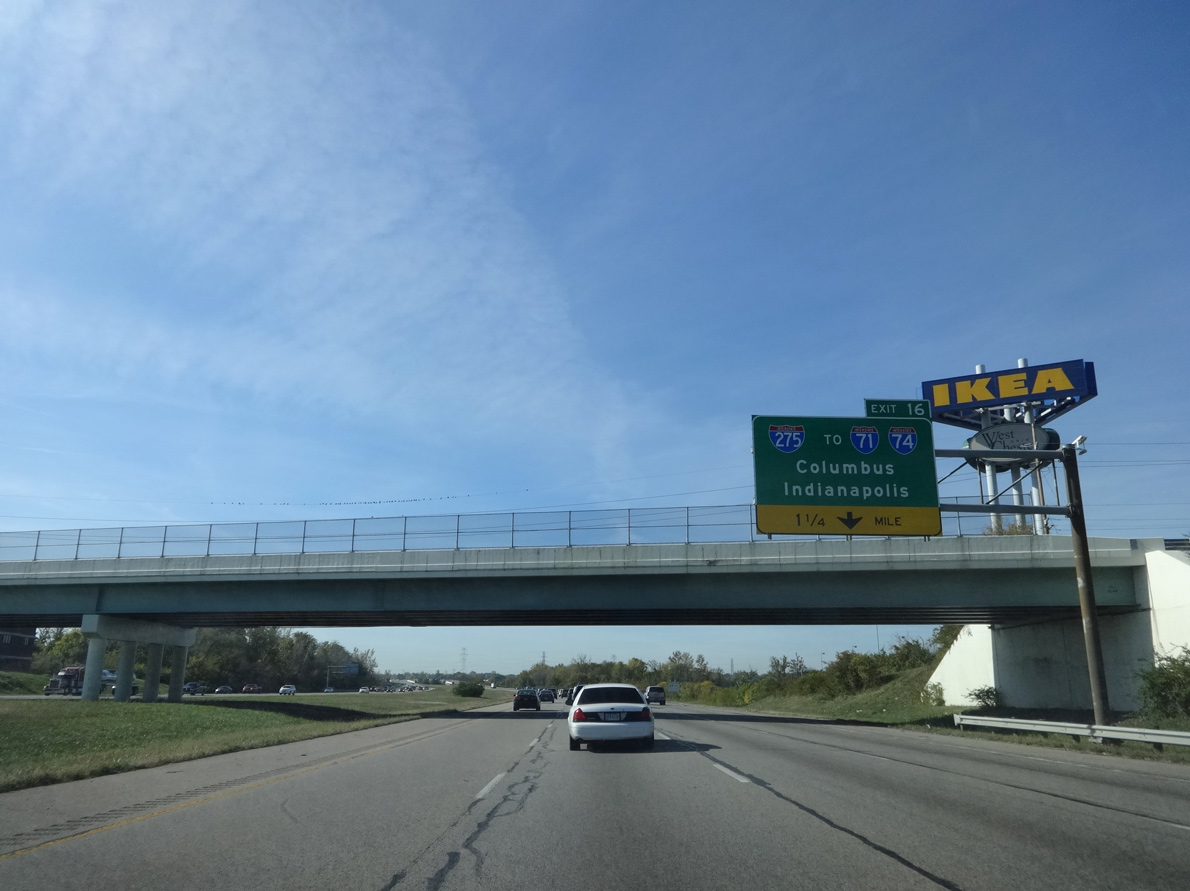
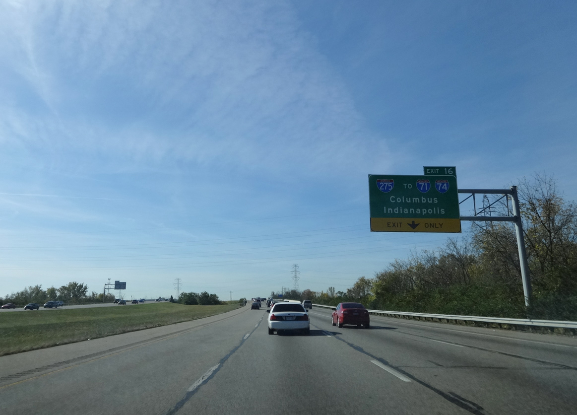
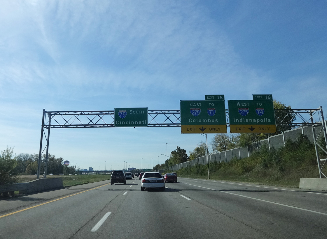
Interstate 75 north enters the city of Sharonville at Exit 15, one mile ahead of I-275 (Circle Freeway). 11/08/09
South at
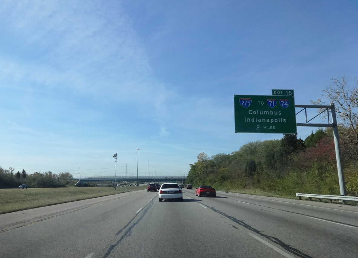
Interstate 75 curves southward through West Chester Township ahead of the exchange with I-275 (Circle Freeway). Photo by Eric Stuve (10/11/15).
South End  ‐ Erlanger, KY
East at
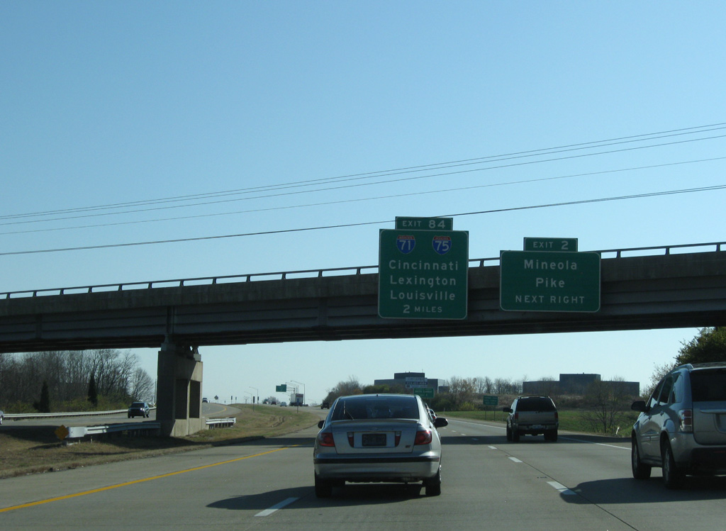
Exit 2 leaves I-275 east for KY 3076 (Mineola Pike) just ahead of the Kenton County line, two miles from I-71/75. 11/08/09
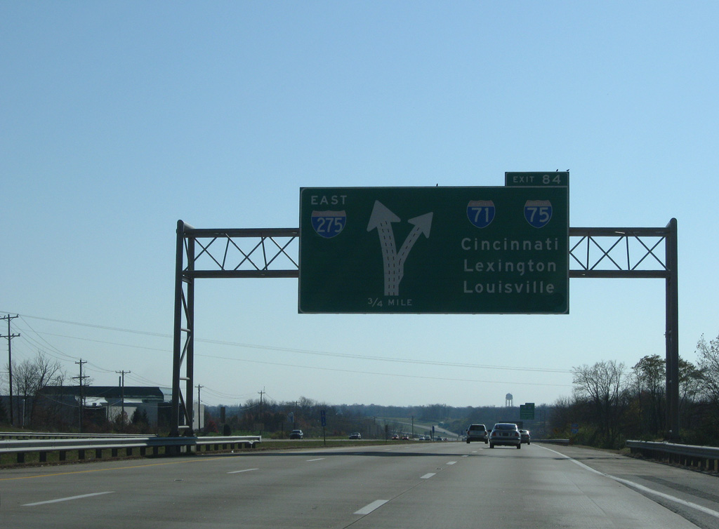
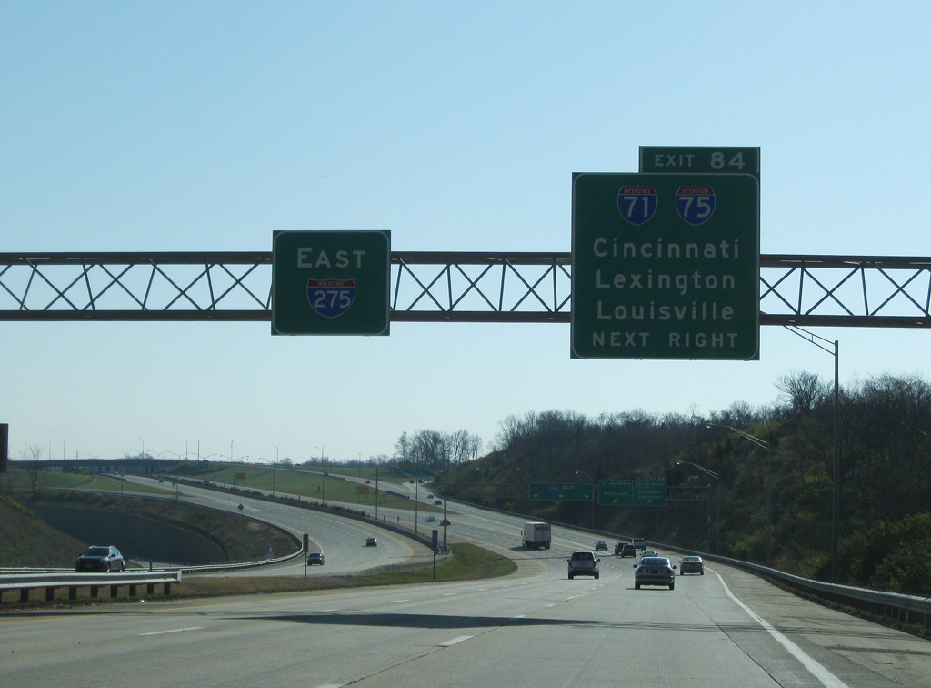
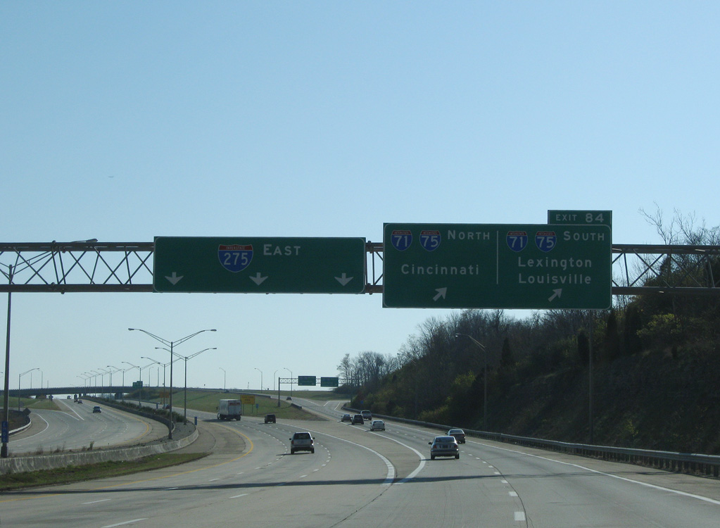
West at
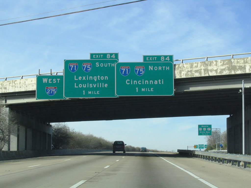
A collector distributor roadway joins westbound I-275 with KY 1303 (Turkeyfoot Road) and U.S. 25-42-127 (Dixie Highway) one mile ahead of I-71/75. 08/15/24
South at
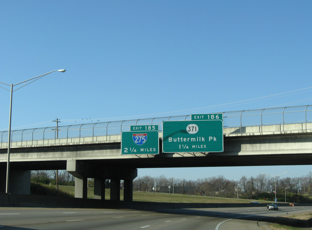
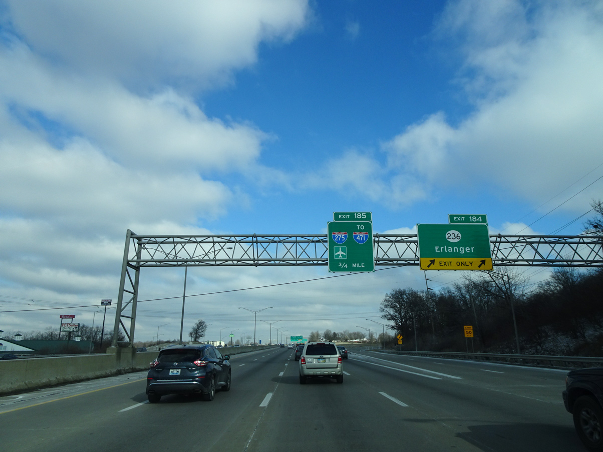
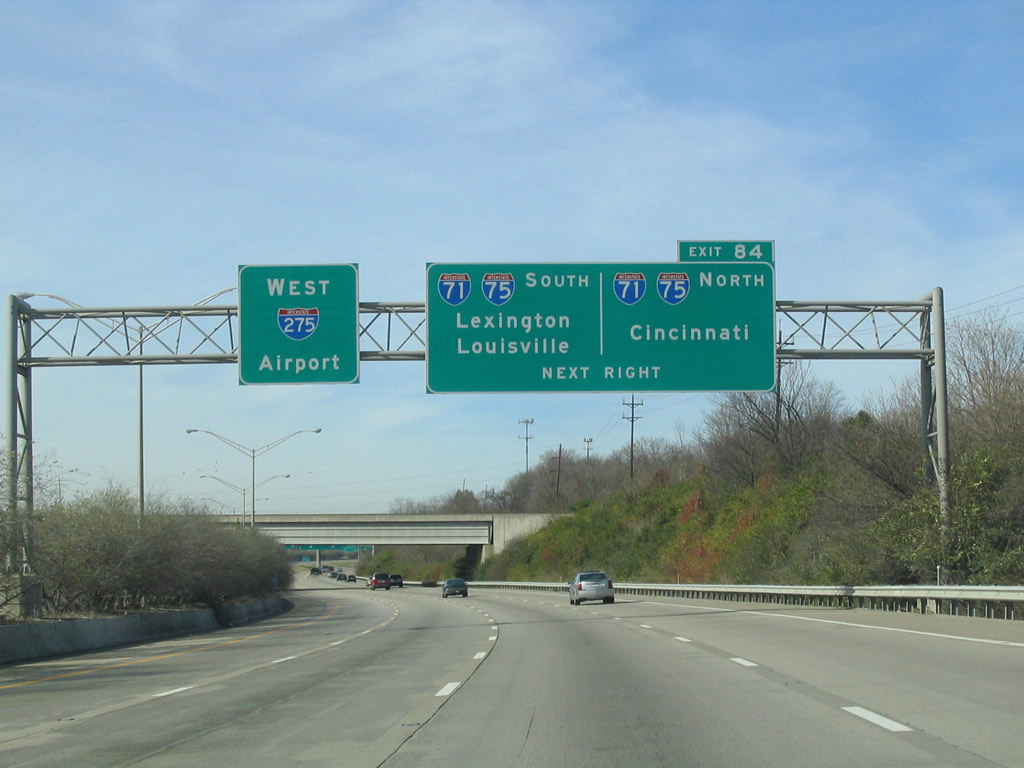
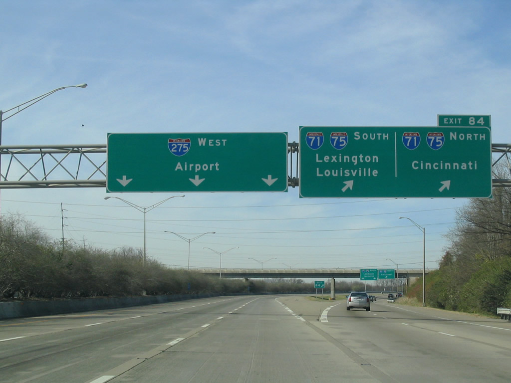
Advancing to Interstate 275, I-71/75 wind westward through Fort Mitchell and Crescent Springs to KY 371 (Buttermilk Pike) at Exit 186. 11/08/09
North at
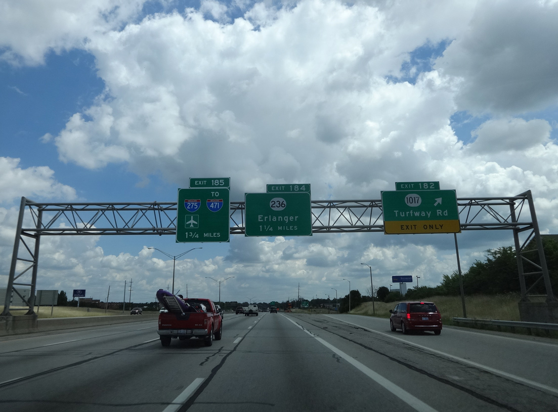
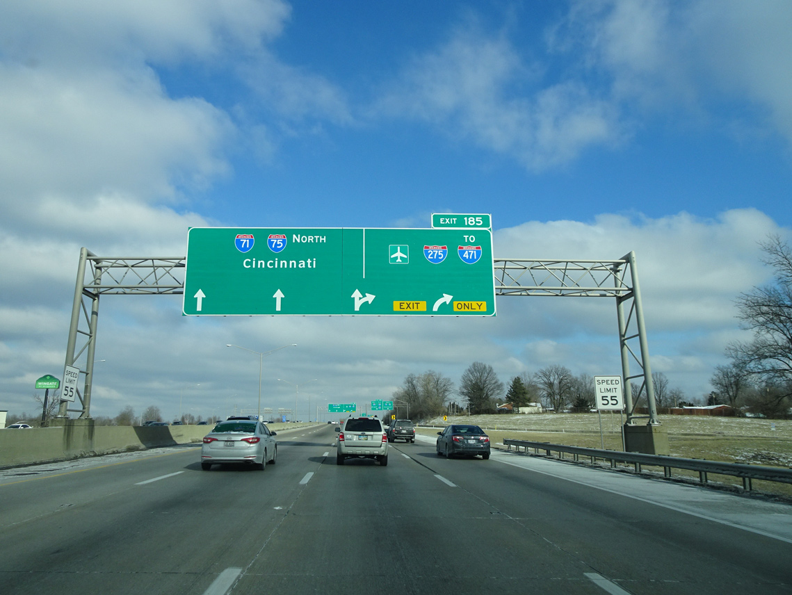
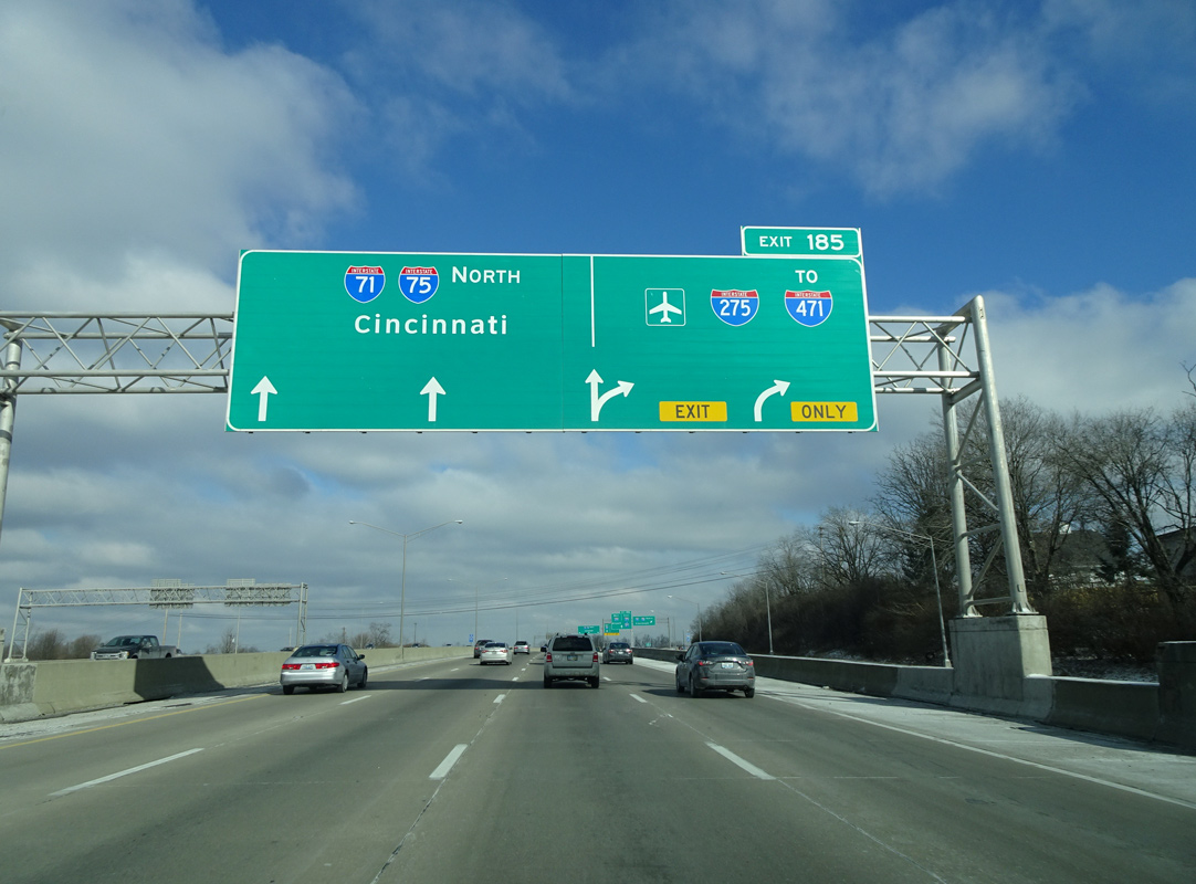
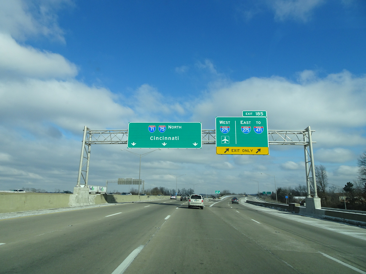
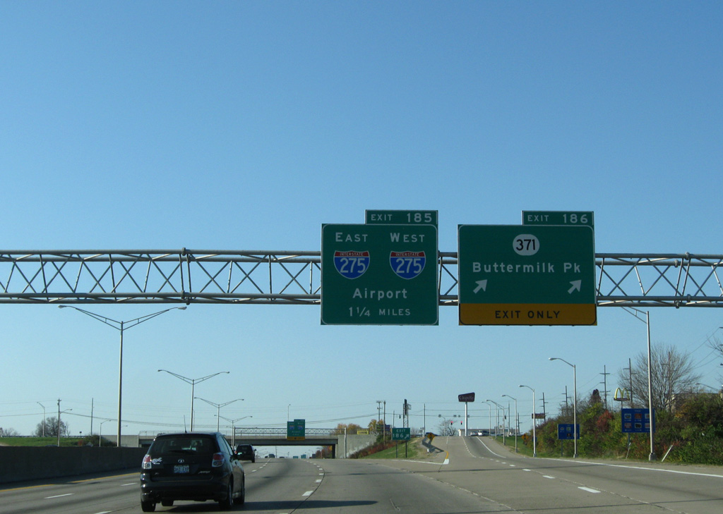
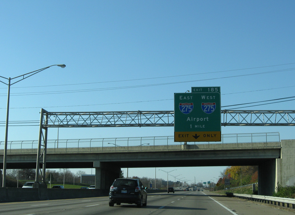
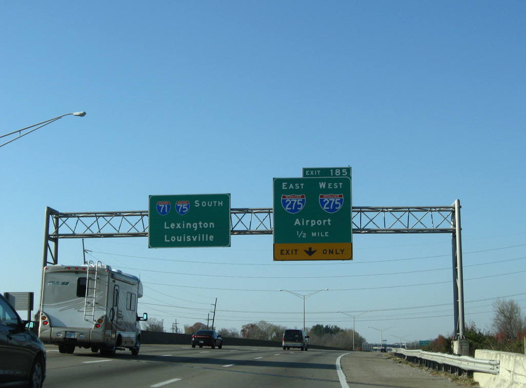
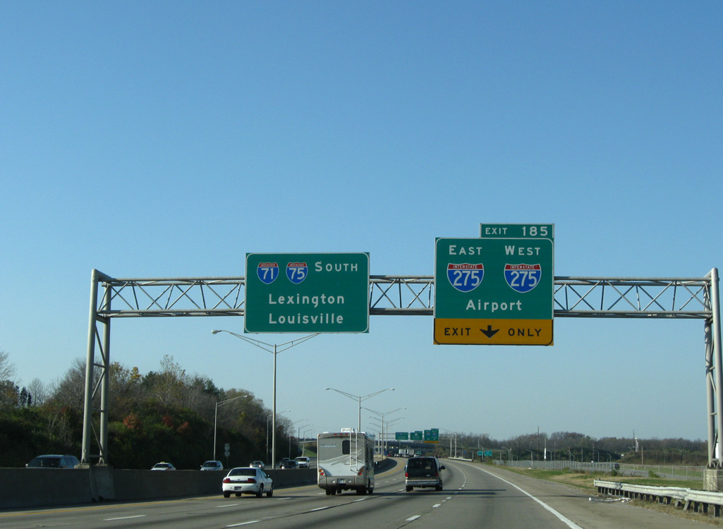
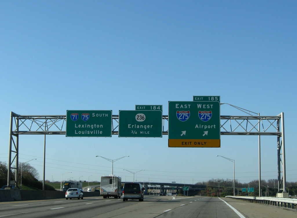
I-71 and I-75 combine 11 miles northward from the city of Walton to the four level interchange (Exit 185) with Interstate 275. Photo by Eric Stuve (07/31/16).