
Interstate 190 Massachusetts
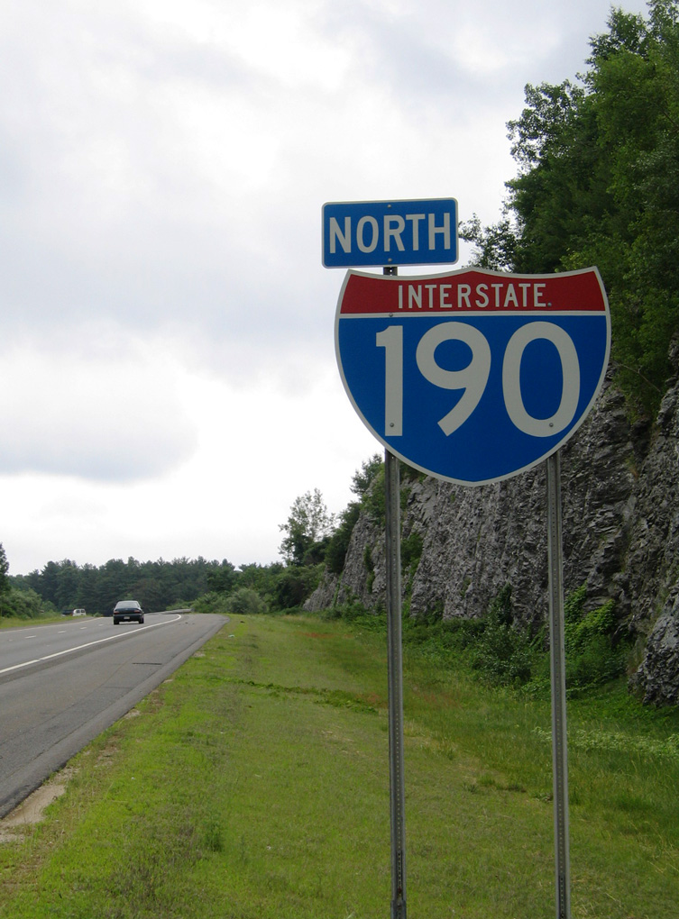
Overview
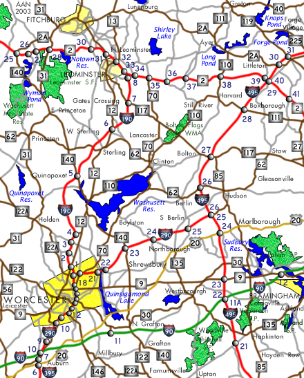
Interstate 190 spurs north from I-290 in Worcester through the towns of Holden, West Bolyston and Sterling to Route 2 in the city of Leominster. Route 2 comprises an expressway west from I-190 to Fitchburg and Westminster and east to I-495 in Littleton.
I-190 was constructed to alleviate local traffic congestion along Route 12 and other area roads between north Worcester County and the city of Worcester.4 Area business leaders and politicians advocated for a north-south connector between the two areas going back to 1956. Early proposals included reconstructing Route 12 from Fitchburg through Worcester and a turnpike possibly connecting with the Mass Pike.3
Mileage by State
| Massachusetts | 19.26 mi |
Data Sources
December 31, 2021 Interstate Route Log and Finders List
History
The Federal Highway Administration (FHWA) approved the designation of Interstate 190 in April 1973 for Massachusetts Route 52, the proposed freeway leading north from I-290 in Worcester.1 Final approval of environmental impact statements was ongoing at the time and optimistically expected to be completed in June 1973. The federal funds for the construction of I-190 were the result of an agreement with the FHWA to transfer money previously appropriated for I-895 from the Massachusetts / Rhode Island State line south to I-195.
Route 52 along I-290 (Worcester Expressway) was proposed to provide a seamless route from Connecticut Route 2, with the Connecticut Turnpike linking it with points south and west. State officials were also expecting future Interstate construction of I-190 northward from Leominster to a point beyond Nashua, New Hampshire to connect with the F.E. Everett Turnpike to Manchester.1
Plans for Interstate 190 (Route 52) were established in 1972 for both from I-290 into Worcester and from Route 2 east of Seartown south to Sterling with construction scheduled to begin late 1974. Work was to progress north and south while the alignment in between was finalized. Governor Francis W. Sargent indicated on June 15, 1973 that the westerly alternative was selected for the freeway between Worcester and Sterling. That route avoided crossing Wachusett Reservoir in West Boylston, including a projected 3,000 foot long span, but did traverse the reservoir watershed both there and in the town of Holden.2
Early indications were that sections of I-190 could open by late 1975 or 1976. The overall route was projected for an opening date in 1977 and estimated to cost $100 million to build.2
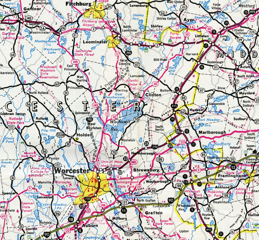
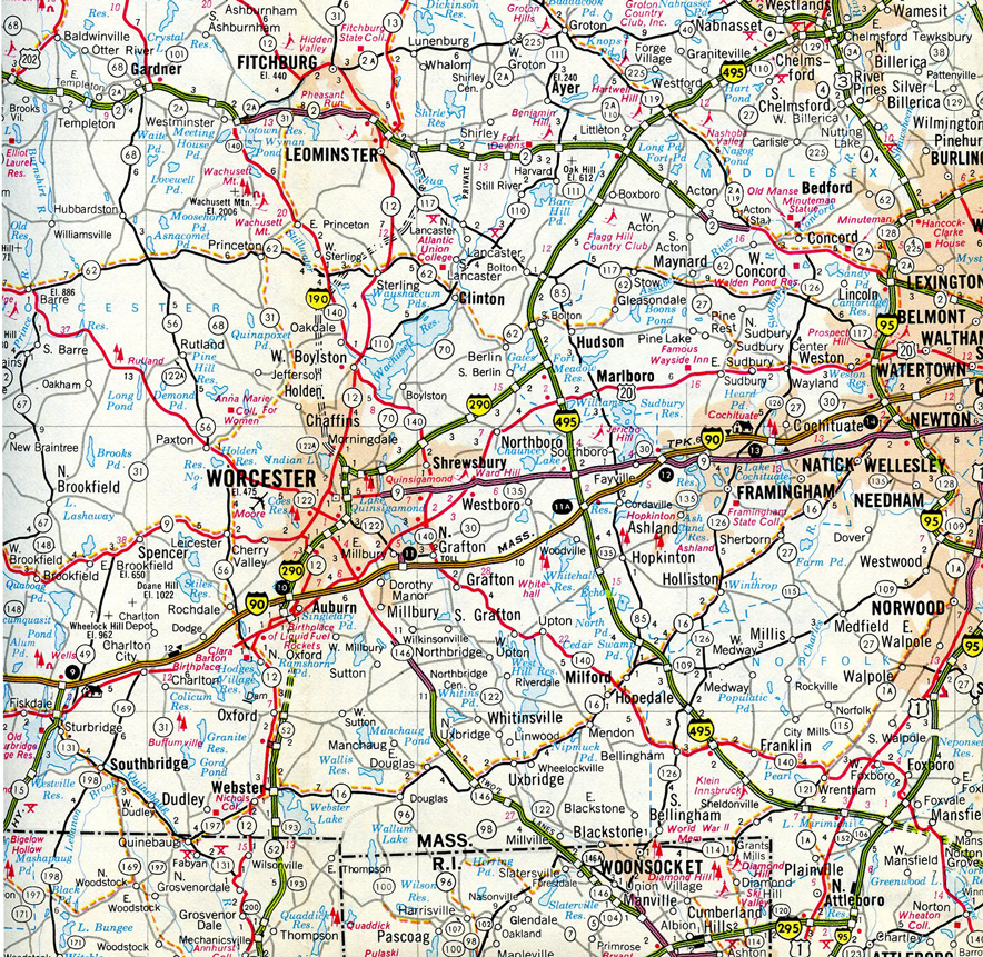
Preliminary construction for Interstate 190 got underway in August 1975 with the relocation of nearly two miles of Route 2 to accommodate the eventual interchange with I-190. Scheduled for completion in Fall 1977, the $7 million contract was for nearly three miles of new roadway and five bridges.3 With a bid of nearly $9.6 million, the contract for construction of the first section of Interstate 190 was awarded to Henley-Lundgren Co. of Shrewsbury on January 9, 1976. The contract was for 1.14 miles of the freeway from Ararat Street in Worcester to Route 12 just south of the West Boylston town line. Cost estimates for construction of the entire route of I-190 were $125 million.4
Environmental concerns delayed completion of Interstate 190, and the final section of the route was not finished until 1983.5
North End  / Leominster Connector ‐ Leominster, MA
 North at
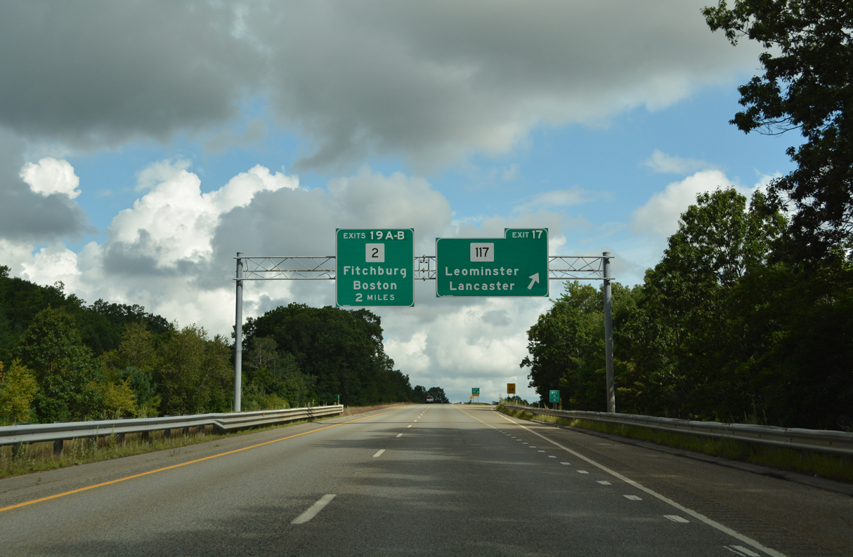
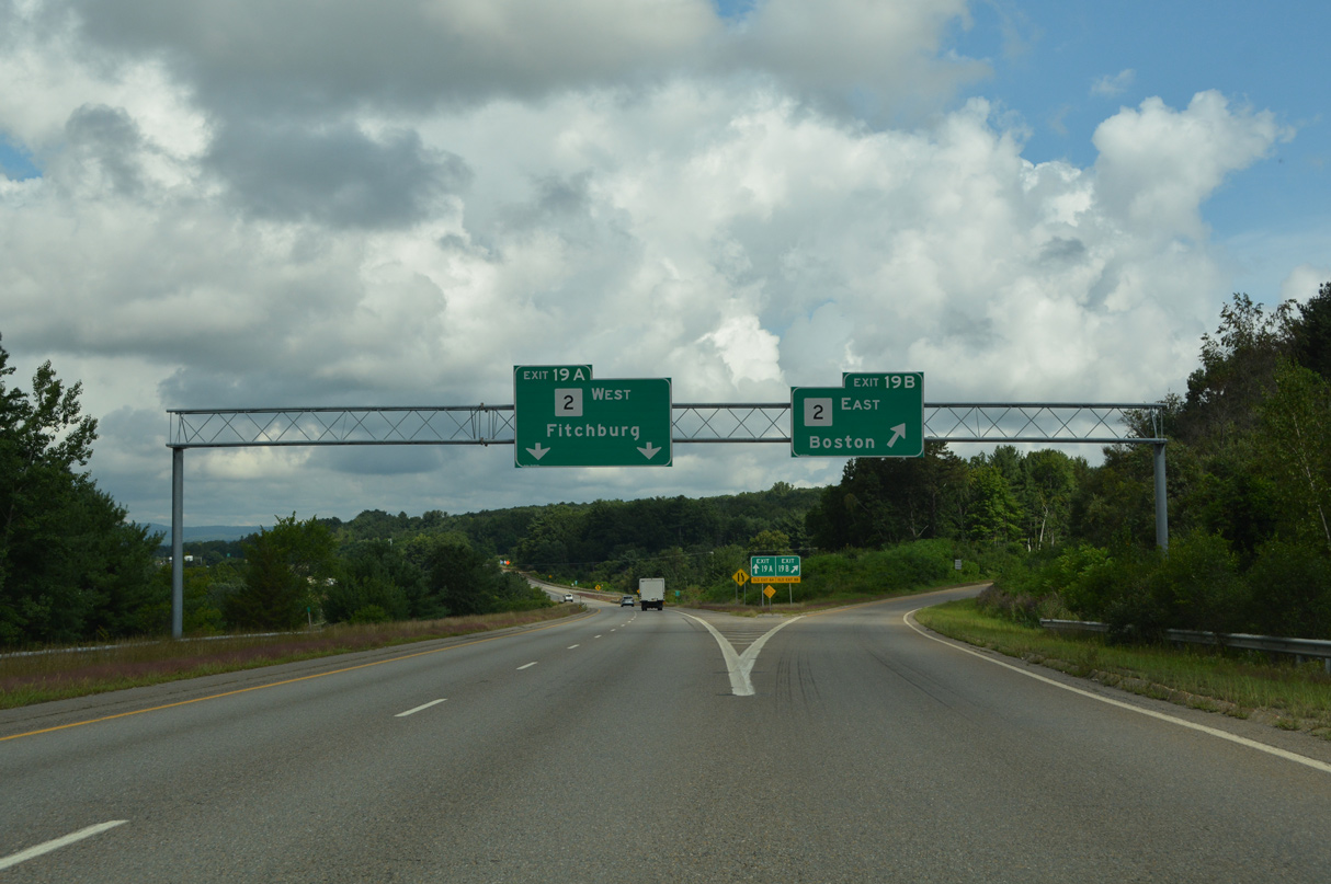
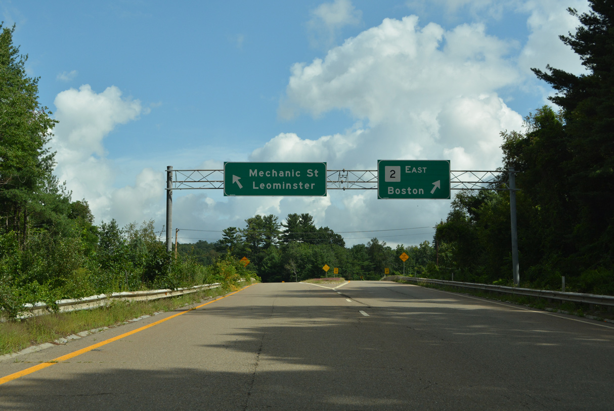
Route 117 crosses I-195 at Exit 17 and the Lancaster town line, two miles south of the directional cloverleaf interchange (Exit 19) with both the freeway along Route 2 and the Leominster Connector west to Downtown Leominster. 08/21/21
East at
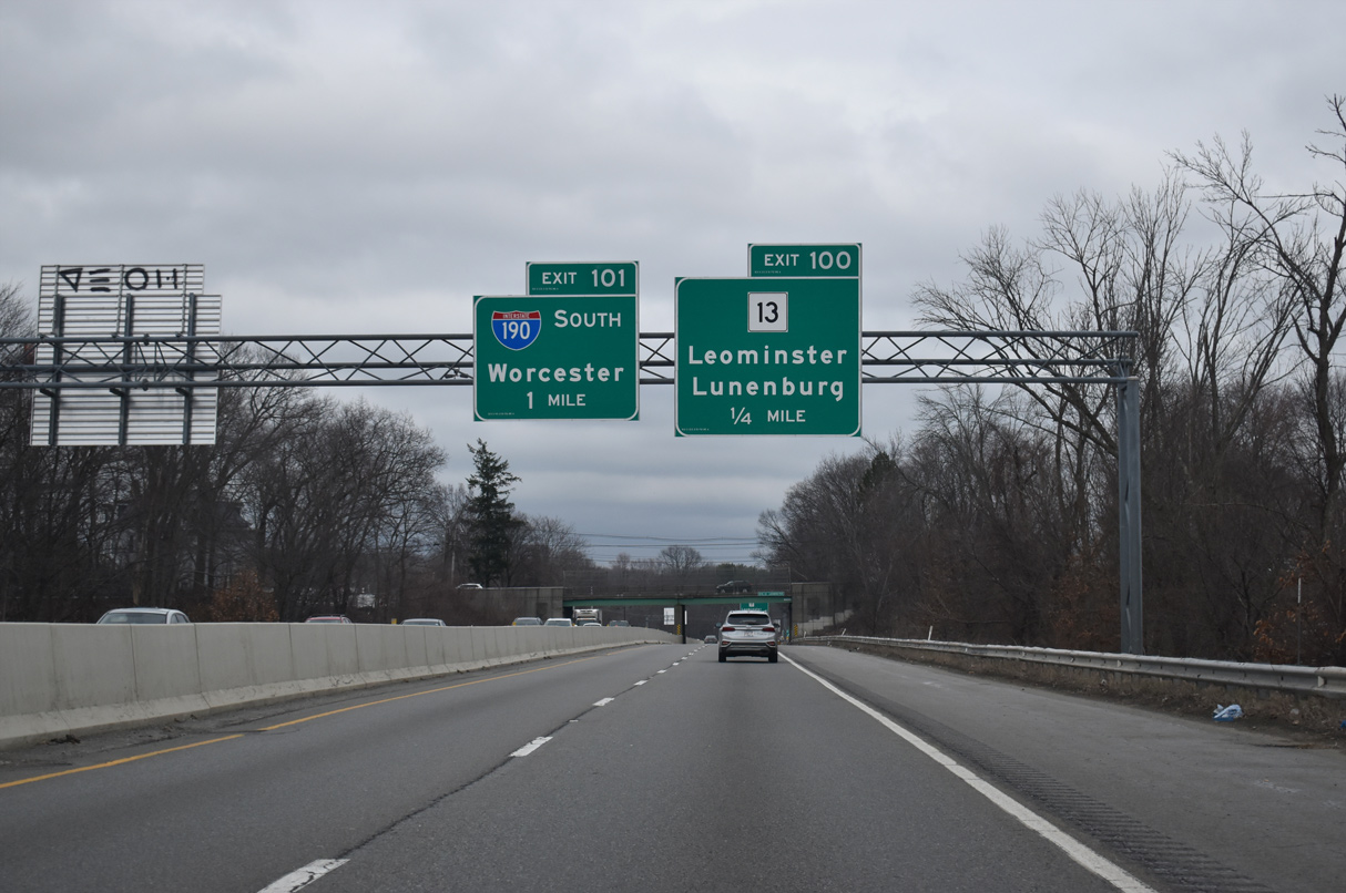
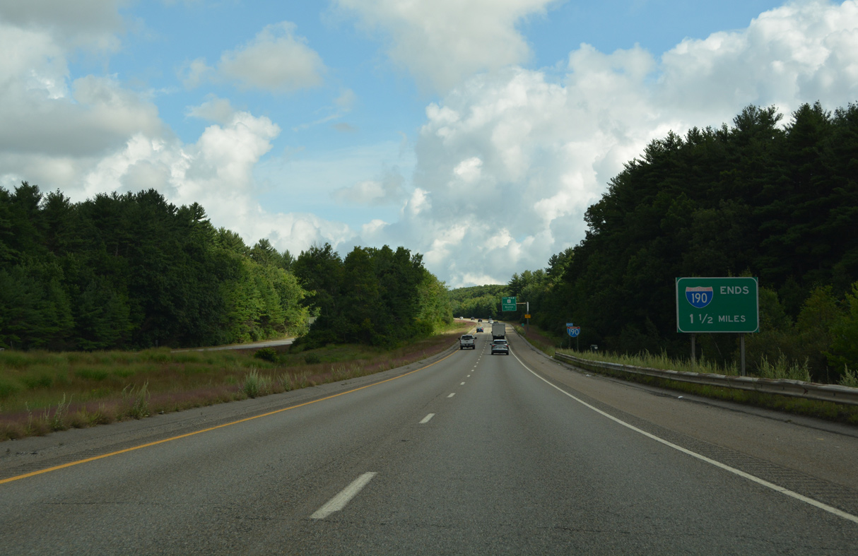
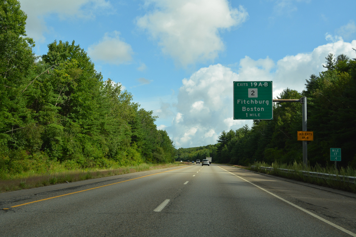
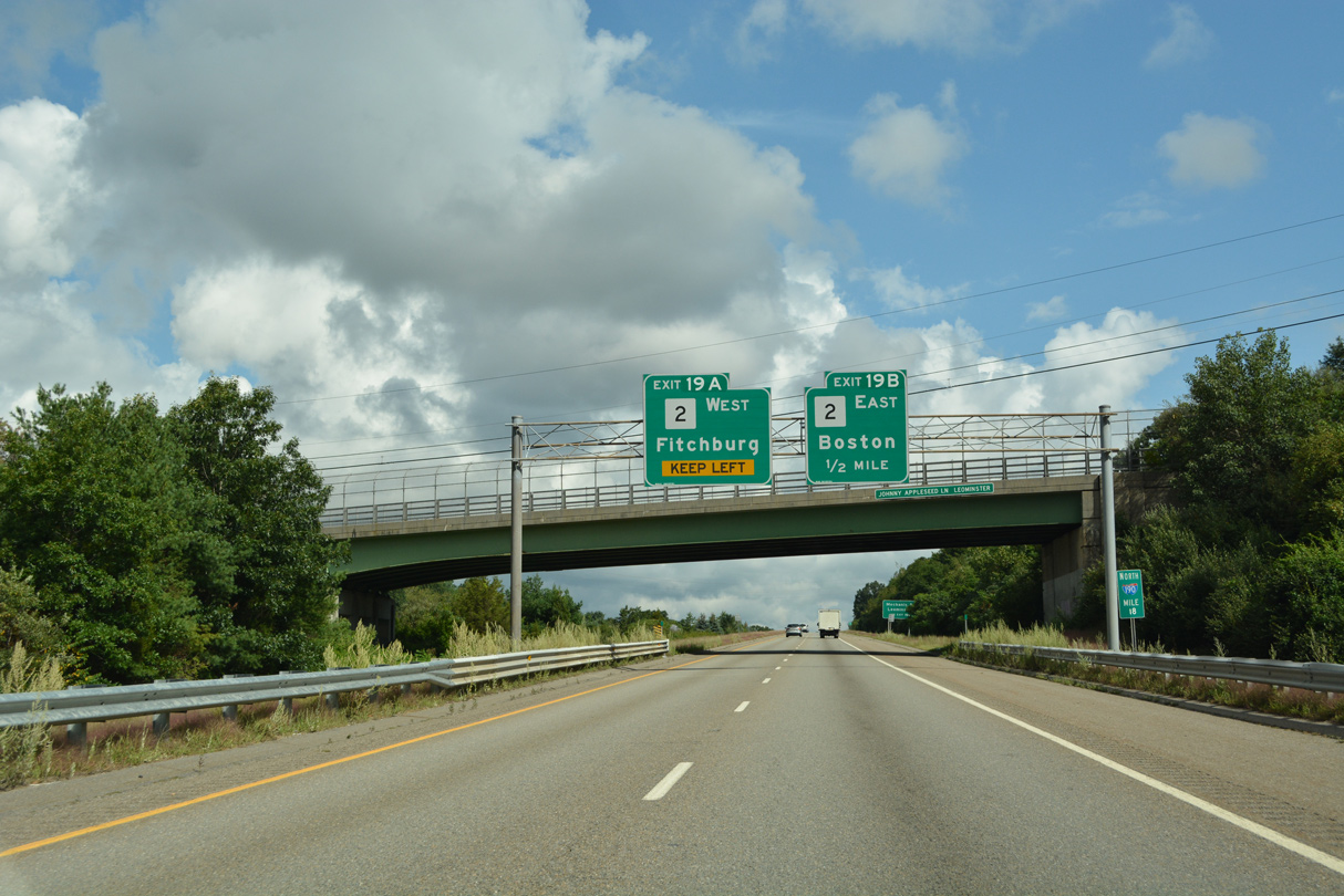
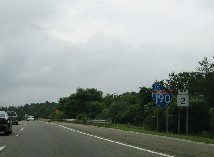
Forthcoming I-190 runs along the east side of Leominster. Sterling lies 5.5 miles to the south, followed by Worcester in 19 miles. 03/23/23
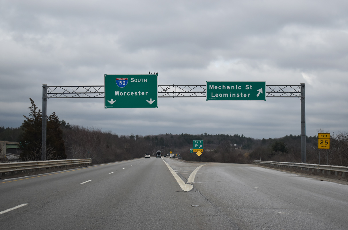
Leominster Connector – West at
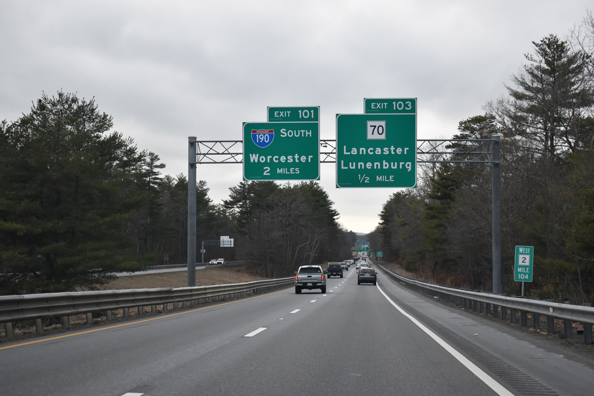
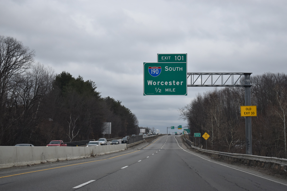
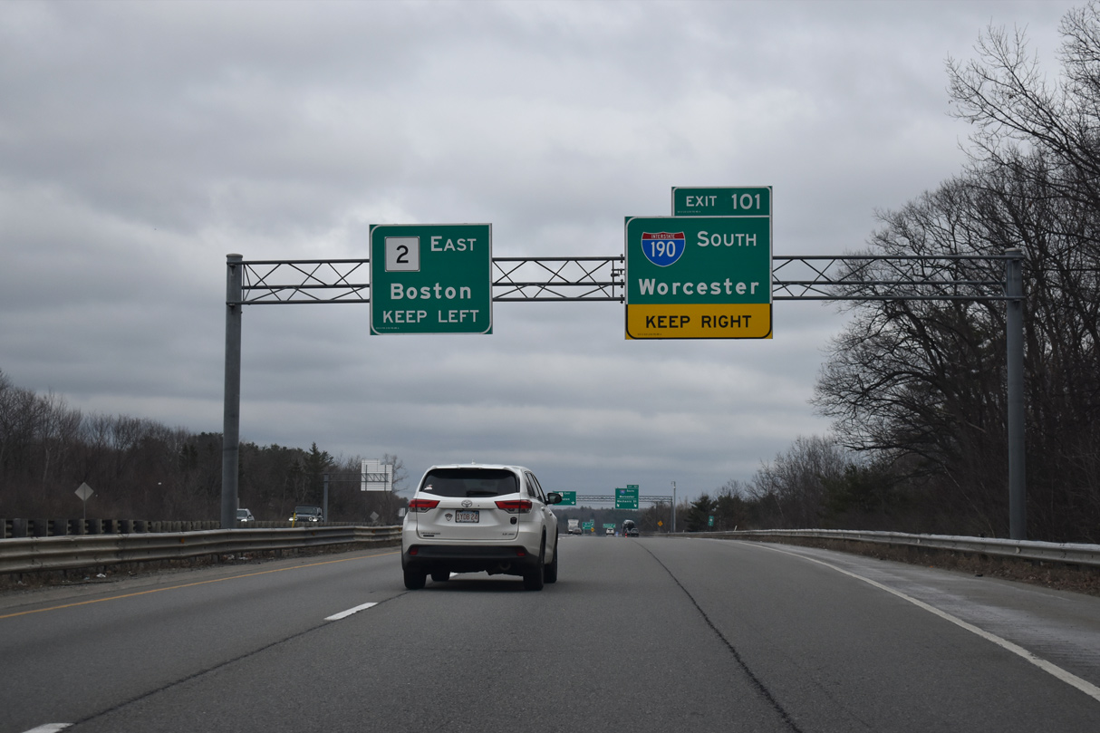
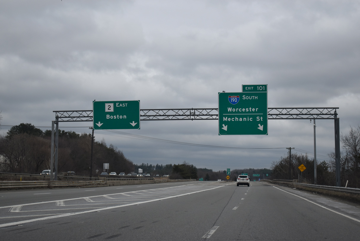
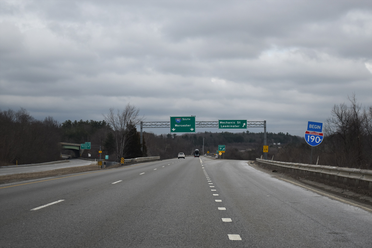
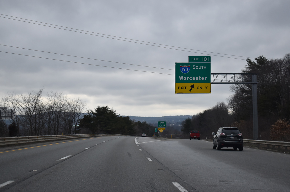
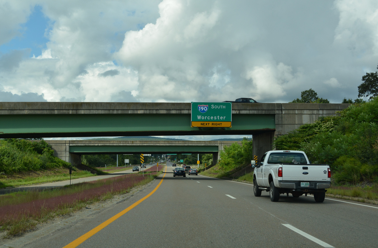
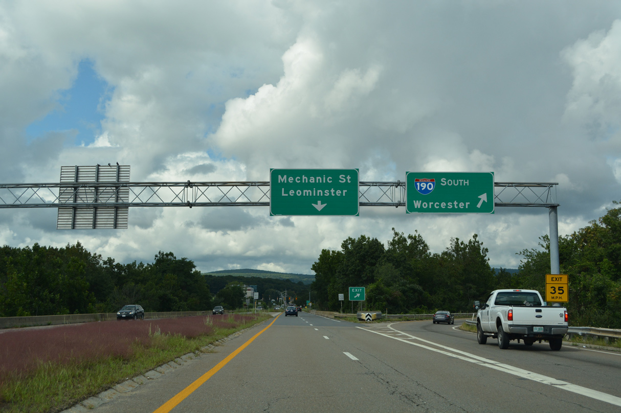
Route 2 advances west from Route 70 (Lunenburg Road) in the town of Lancaster to the Leominster Connector linking with Interstate 190. 03/23/23
Leominster Connector – East at
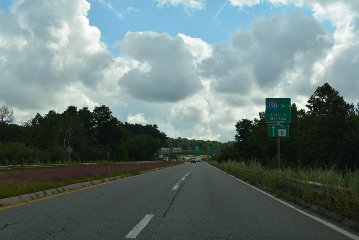
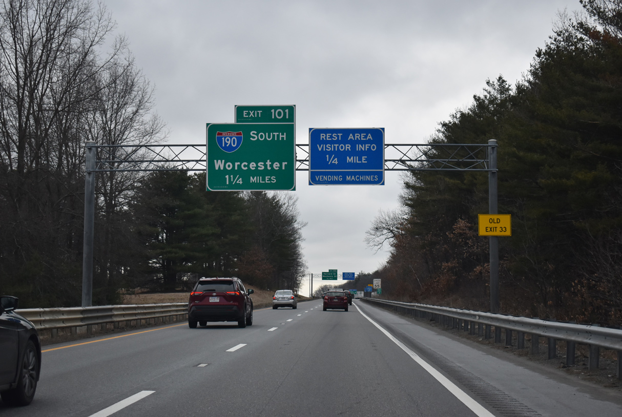
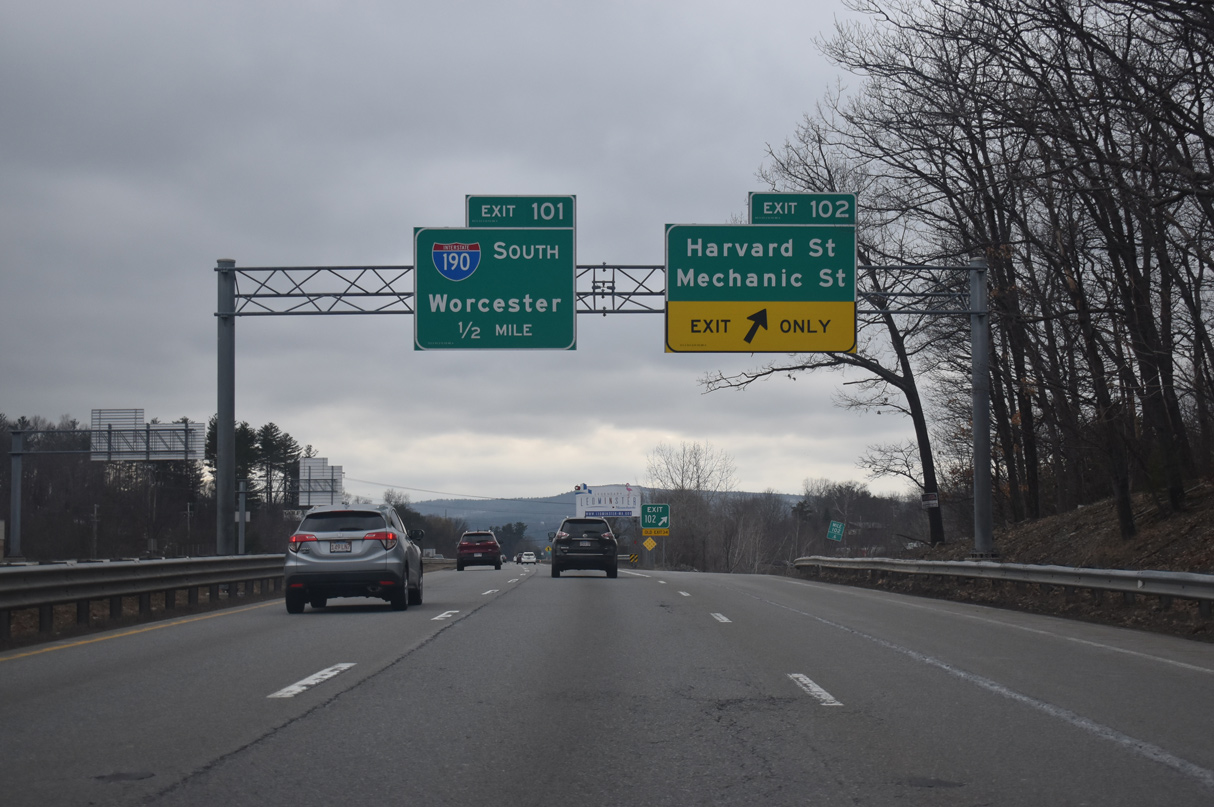
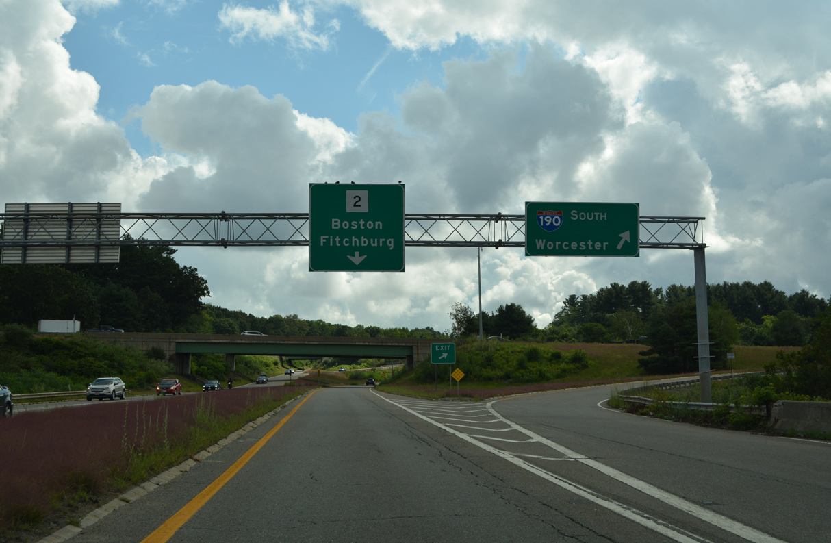
The Leominster Connector enters the exchange with I-190 and Route 2 east of Nashua Street and the Nashua River. Departing first is the southbound entrance ramp to Worcester. 08/21/21
South End  ‐ Worcester, MA
South at
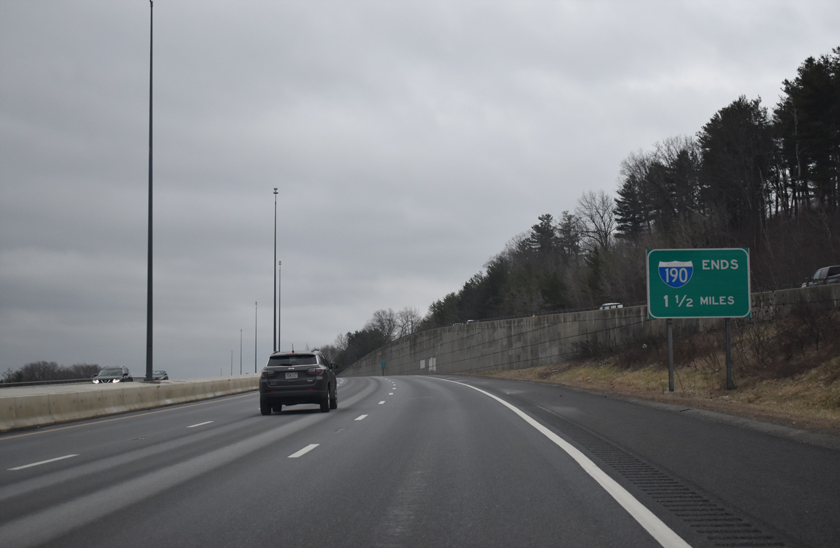
An end sign for Interstate 190 south stands within the diamond interchange (Exit 2) for Ararat Street, east of Indian Hill. This is the oldest section of I-190. 03/23/23
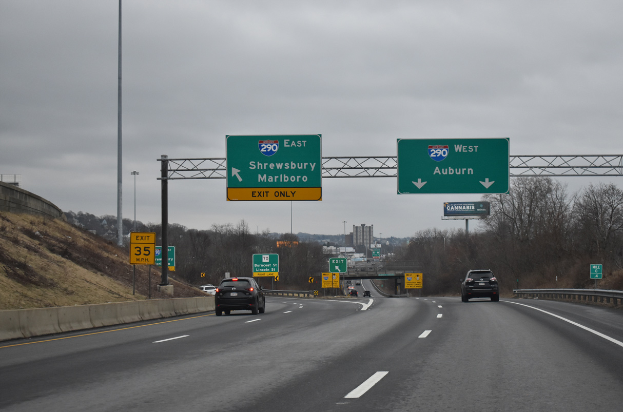
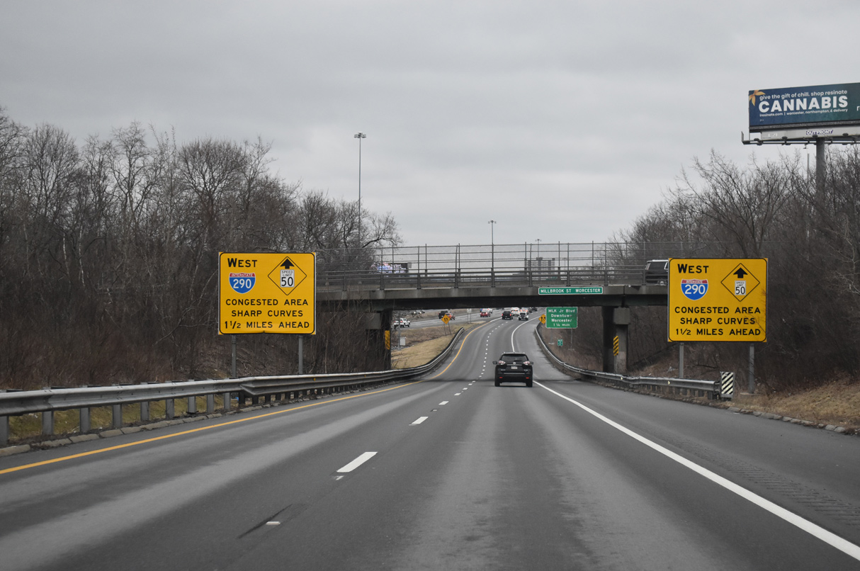
North at
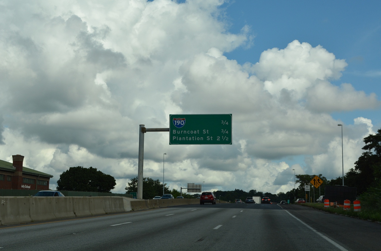
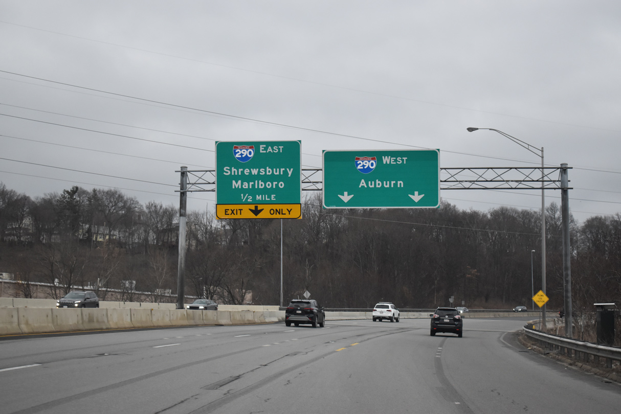
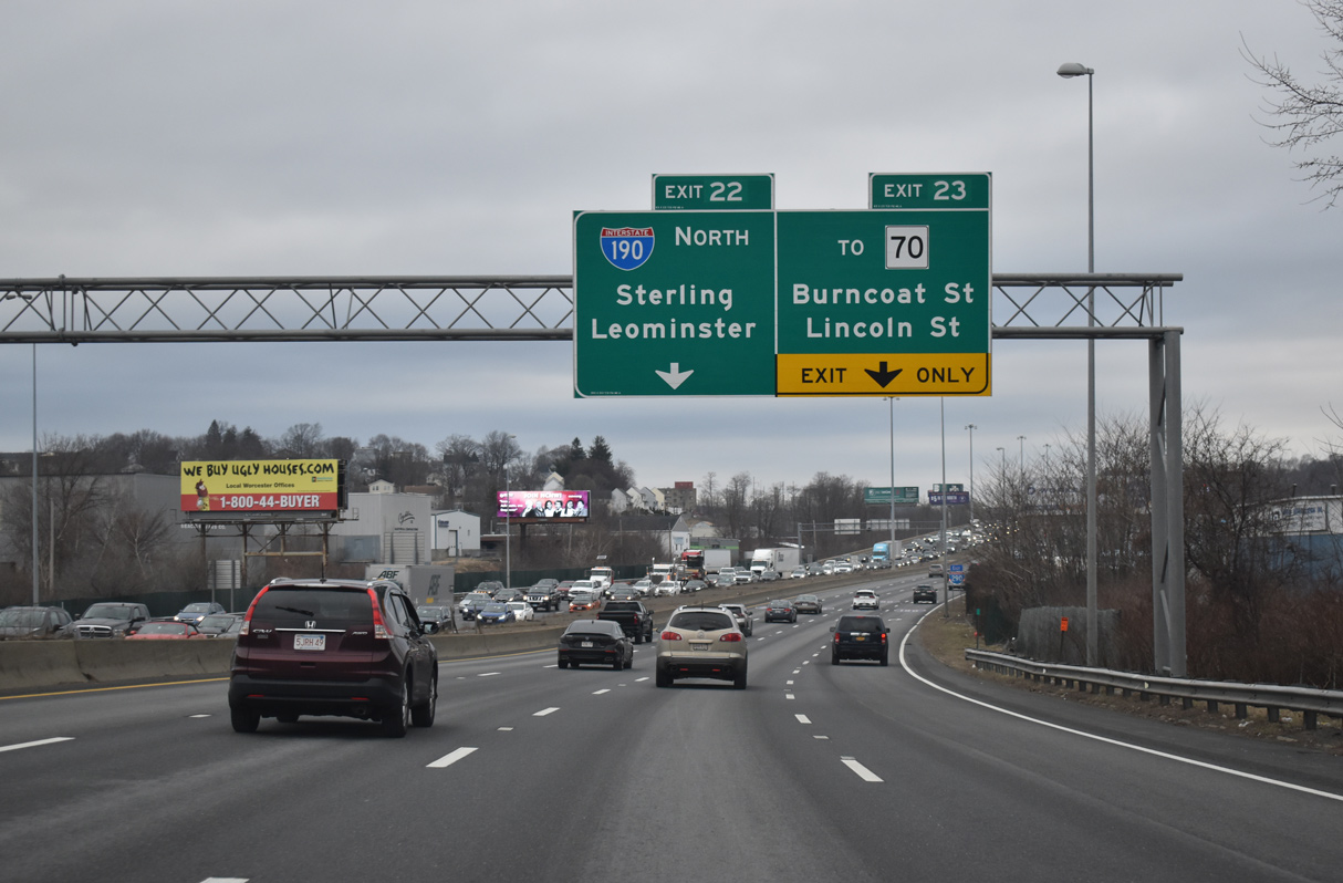
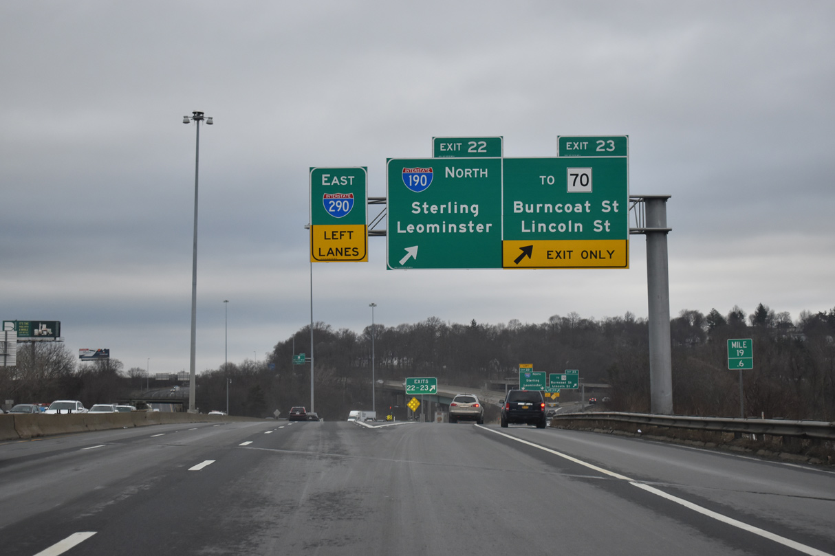
Heading north from Downtown Worcester, Interstate 290 advances to ramps for both I-190 north to Leominster and Melrose Street east to Route 70 (Lincoln Street). This overhead assembly was removed by 2022. 08/21/21
West at
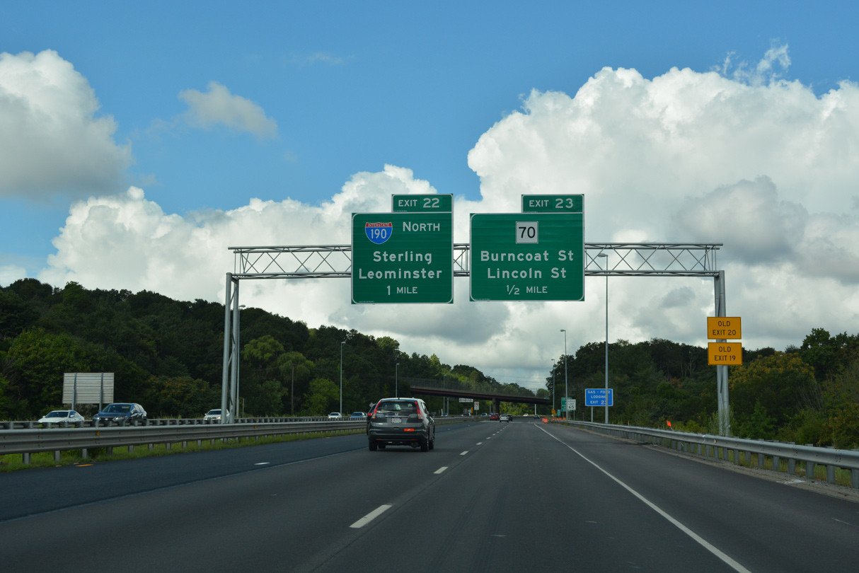
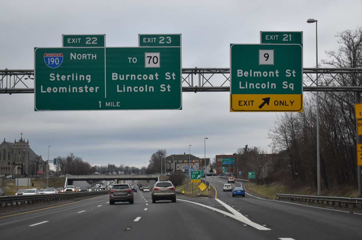
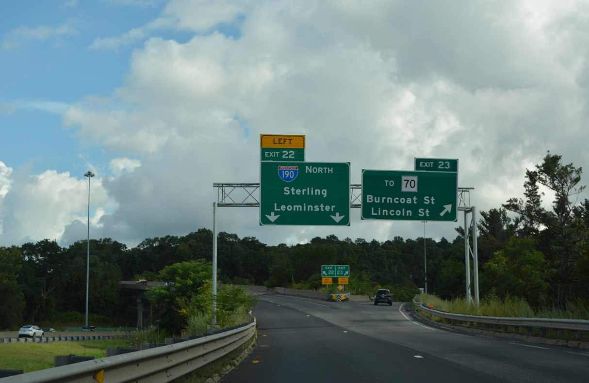
A split diamond interchange (Exit 23) with Route 70 (Lincoln Street) precedes the south end of Interstate 190 at Exit 22. 08/21/21
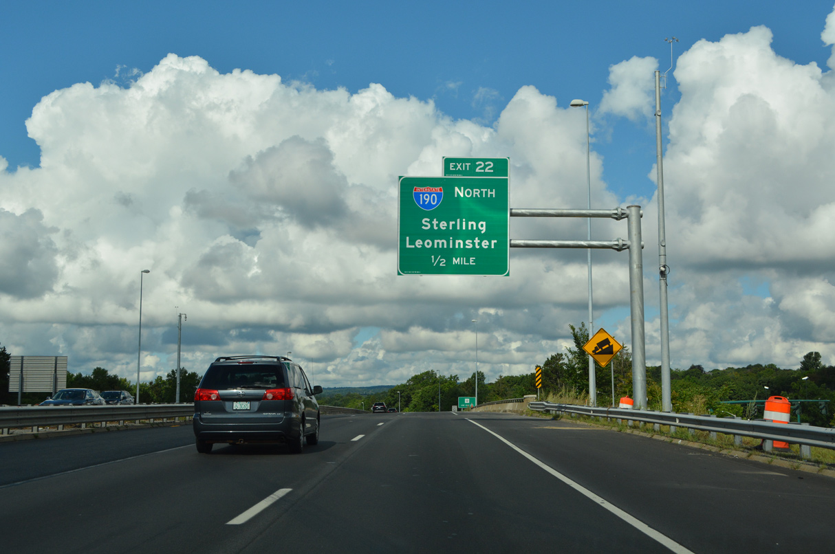
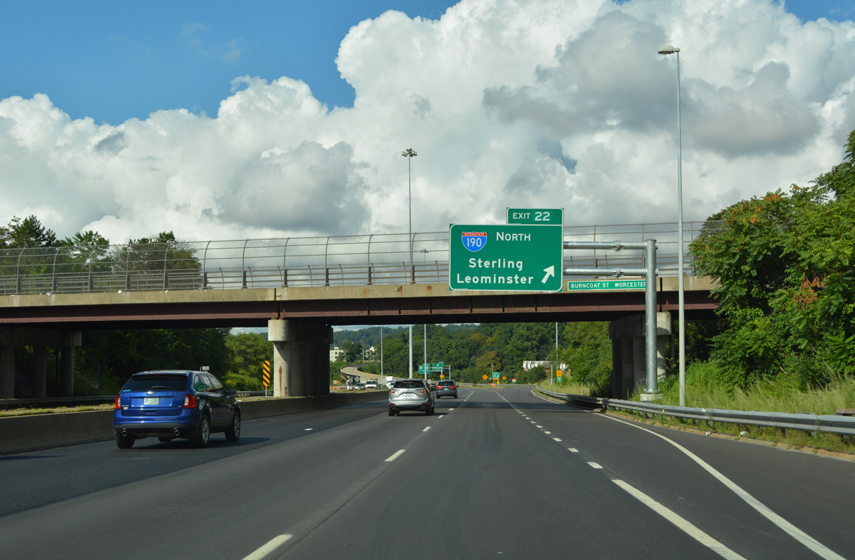
North
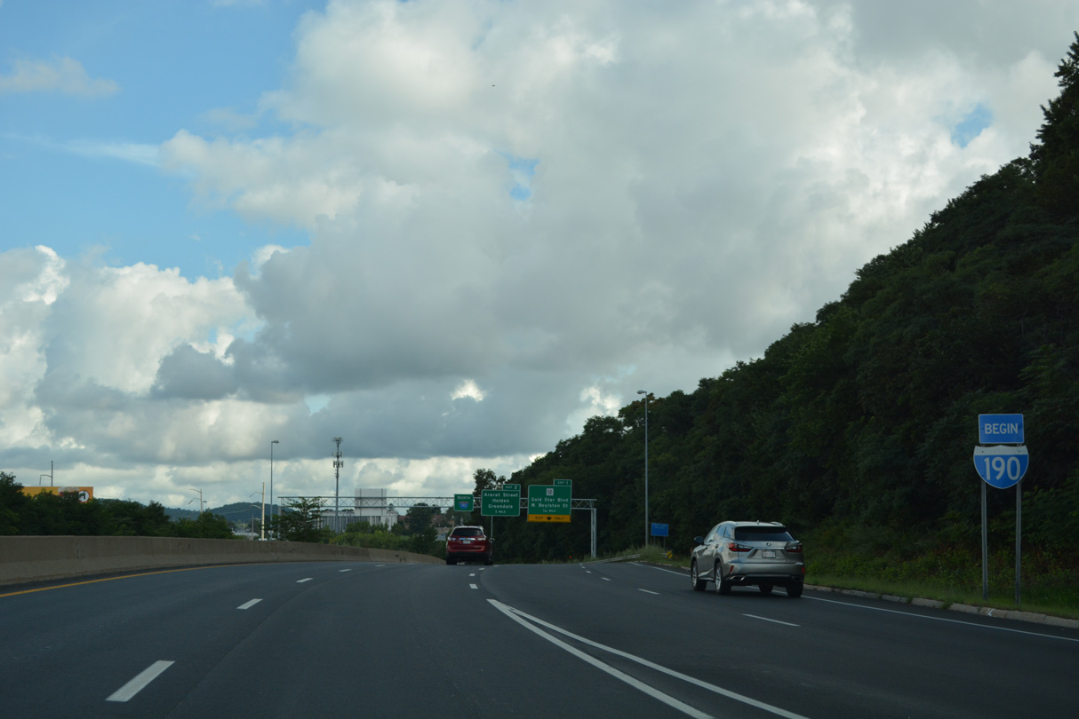
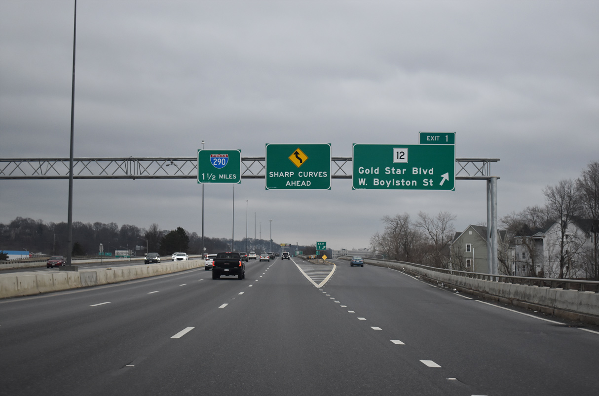
Begin Interstate 190 marker posted ahead of the wye interchange (Exit 1) for Route 12 (Gold Star Boulevard) north. Fitchburg is 24 miles to the north via I-190 and Route 2 west. 08/21/21
References
- "Route 52 Now Called 'Interstate'." Fitchburg Sentinel (MA), May 1, 1973.
- "Early Area Start Predicted for North-South Freeway." Fitchburg Sentinel (MA), June 15, 1973.
- "I-190 Starts." Fitchburg Sentinel (MA), August 15, 1975.
- "Pact Awarded for Worcester Leg of I-190." Fitchburg Sentinel (MA), January 10, 1976.
- Anderson, S. (n.d.). Interstate 190 (Massachusetts). BostonRoads.com. Retrieved from http://www.bostonroads.com/roads/I-190_MA/