
Interstate 195 Rhode Island / Massachusetts
Overview
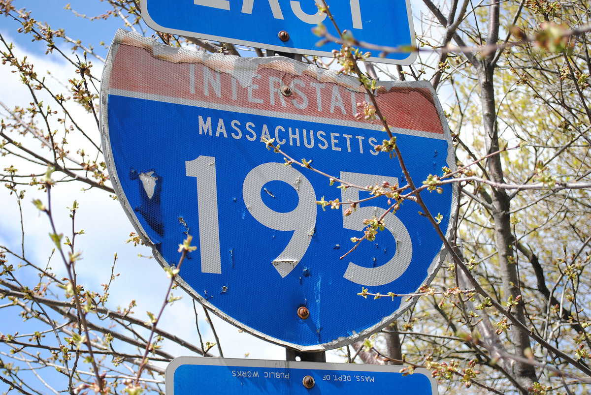
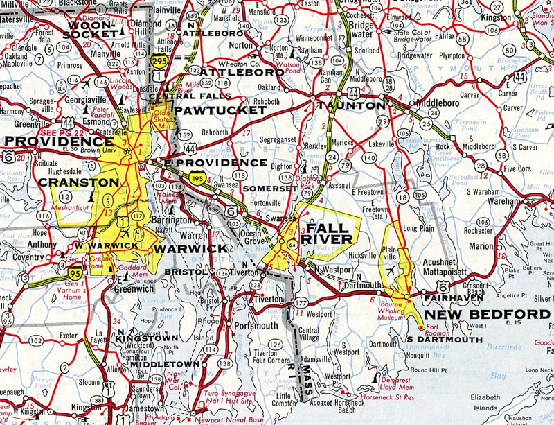
Interstate 195 serves regional traffic demands, joining Providence, Rhode Island and the I-95 corridor with Fall River, New Bedford and Cape Cod in southeast Massachusetts. With auxiliary lanes, the nearly 45 mile long route accommodates as many as ten lanes.
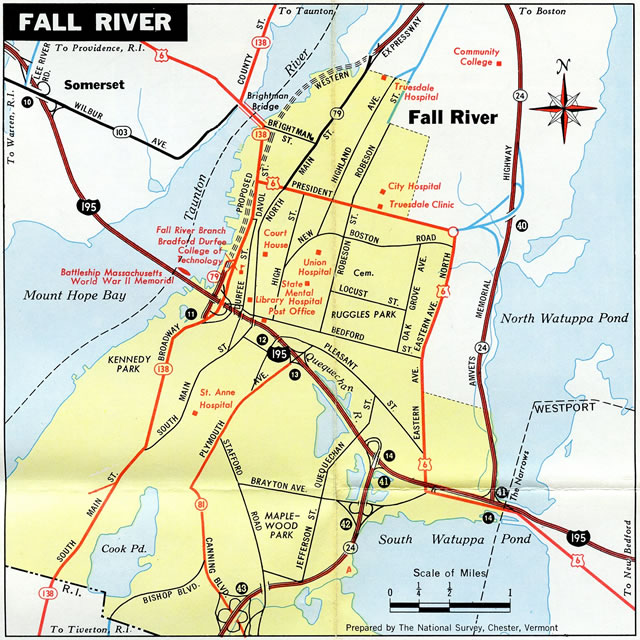
Starting in Downtown Providence across the Iway Bridge over Providence Harbor, I-195 travels to East Providence, Rhode Island and suburban areas of Seekonk and Swansea, Massachusetts. East from there, I-195 crosses the Taunton River on the Braga Bridge to the city of Fall River, where the freeway passes below the Fall River Government Center through a cut and cover tunnel. Route 24 also overlaps with I-195 between separate freeways leading south to Tiverton, R.I. and north to Taunton, Mass.
Continuing east from Fall River, Interstate 195 parallels U.S. 6 through rural sections of Westport and Dartmouth with six overall lanes. The freeway narrows to four lanes across the city of New Bedford, where it spans the Acushnet River along a short causeway. Curving northeast, I-195 heads through Fairhaven, Mattapoisett and Marion to the exchange with Interstate 495 and Route 25 in Wareham.
Massachusetts Route 25 extends the freeway from Interstate 495 east from I-195 to Buzzards Bay, U.S. 6 and the Bourne Bridge to Cape Cod. The Bourne Bridge provides one of two spans across Cape Cod Canal, with U.S. 6 east over the Sagamore Bridge being the other.
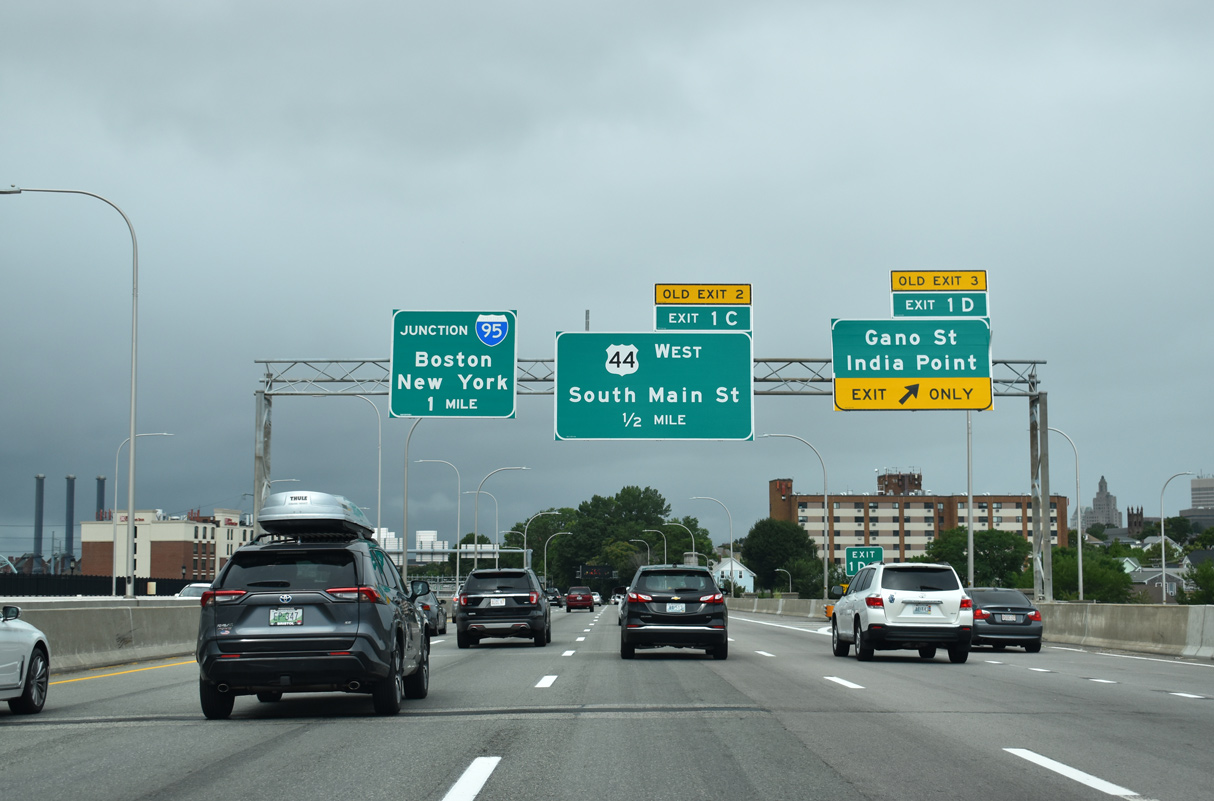
Costing $78 million, the Washington Bridge project in Providence, Rhode Island got underway in 2021. Work extending into 2026 widens westbound I-195 to five overall lanes across the Seekonk River, both removes Exit 1 D to Gano Street and relocates the entrance ramp from Gano Street to address weaving traffic, and builds a new exit ramp to Waterfront Drive.
Mileage by State
| Rhode Island | 3.82 mi |
| Massachusetts | 40.73 mi |
Data Sources
December 31, 2021 Interstate Route Log and Finders List
History
Initially planned as Interstate 95E in 1957, the East Providence Expressway was renumbered as I-195 in 1959. Work on the route through Providence was already underway by 1956, with a one mile section completed through the Jewelry District in 1958. Construction of I-195 through East Providence was underway in 1957, and completed to the state line in 1960.1
Interstate 195 was originally proposed east only as far as New Bedford, Massachusetts. Construction on the freeway in the Bay State started in 1958, with the first segment opened to traffic between Seekonk and Swansea in 1960. Another seven miles of I-195 were completed from Exit 3 to Exit 10 in Westport in 1965.1
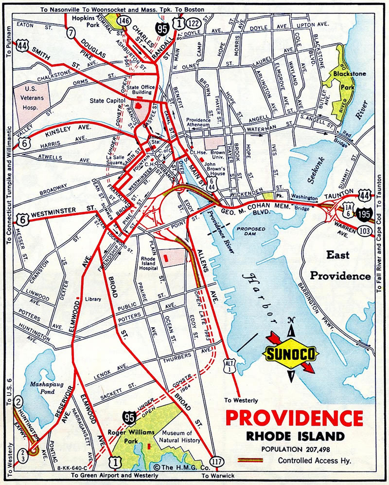
Costing $610 million, the Iway Project in Providence, Rhode Island relocated 1.6 miles of Interstate 195 onto a new seven span, 1,250 foot long bridge3 over the Providence River. The 2,000 foot realignment of I-195 passes south of the Hurricane Barrier along the Providence River, connecting with a new three-wye interchange with Interstate 95 to the west, and leading east to India Point Park. Improvements included rebuilding a 0.8 mile section of I-95 as well.4
The Iway Project addressed regular congestion along the curved portions of both I-95 and I-195 south of Downtown Providence. Work involved 14 new bridges, including the eight lane Iway Bridge. 20 acres of land were made available for redevelopment along the former I-195 right of way. The Iway Bridge was constructed off site and transported by barge in August 2006 for installation.4 The main span is a 400 foot long network arch bridge.3
The new Iway Bridge opened to eastbound traffic on November 4, 2007. Westbound traffic shifted to the span on June 18, 2009.5 Final work on the Iway Project wrapped up by the end of 2010.3
East End 
 ‐ near Wareham, MA
West at 
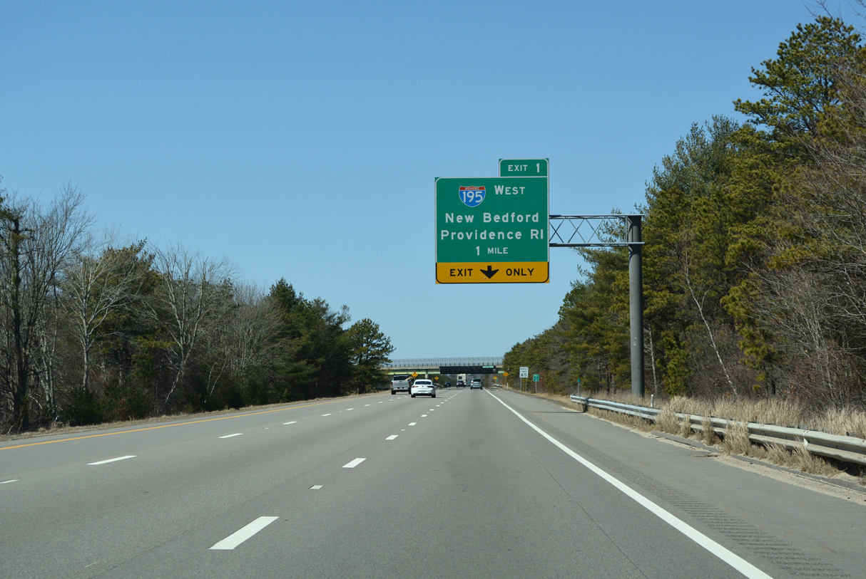
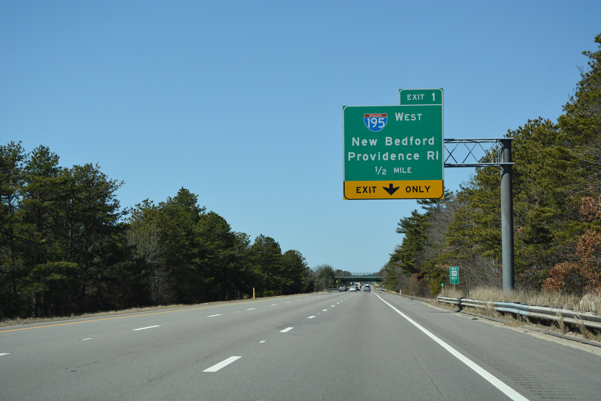
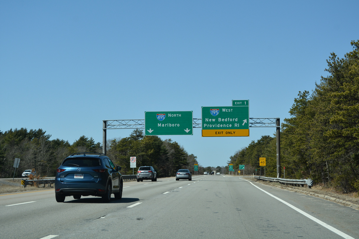
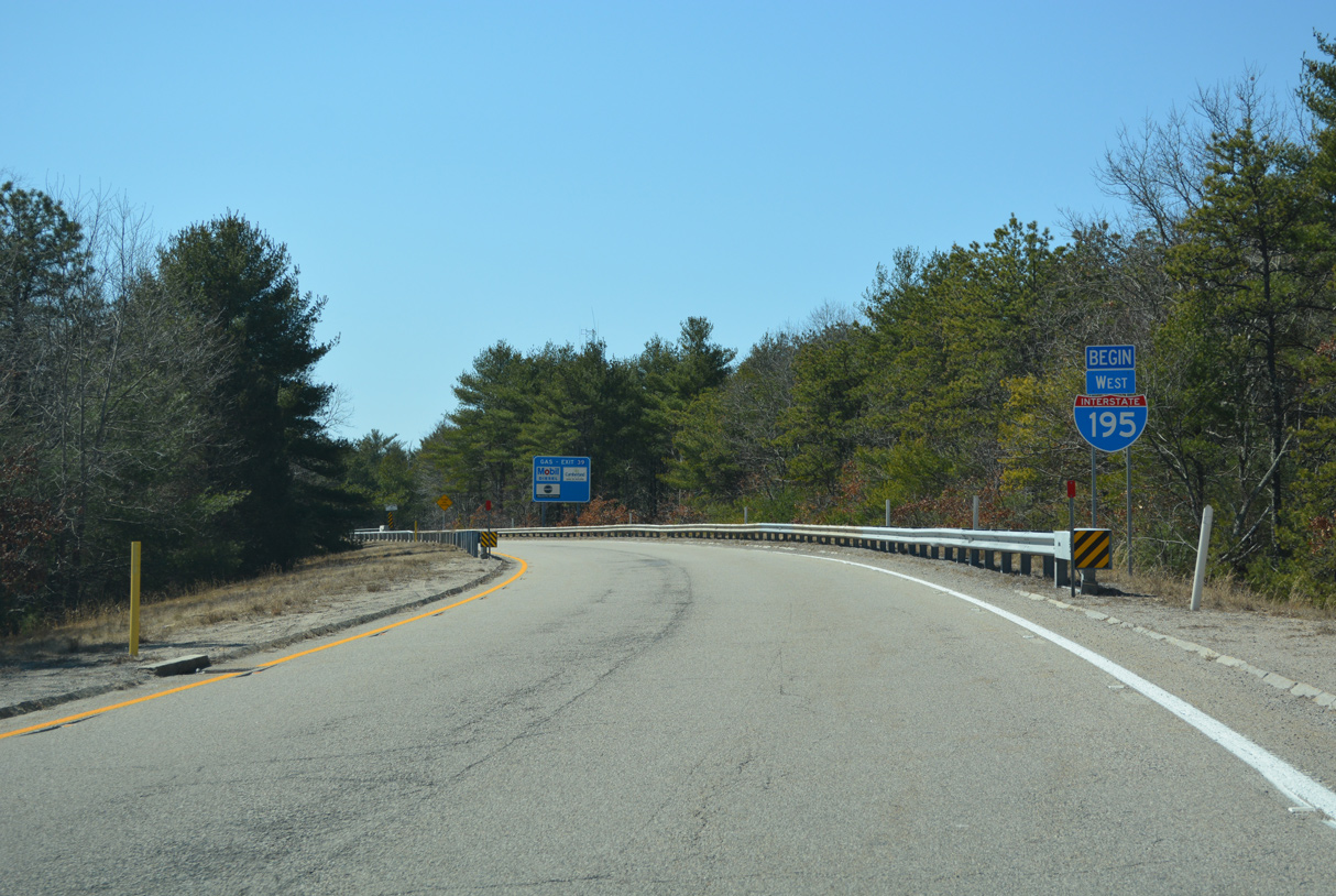
Route 25 winds west from U.S. 6 at Buzzards Bay as a 10.04 mile route to Interstate 195 west and I-495 north. 03/27/23
East End – Past Views
Past Views Gallery (Tap to Expand / Collapse Section)
East at
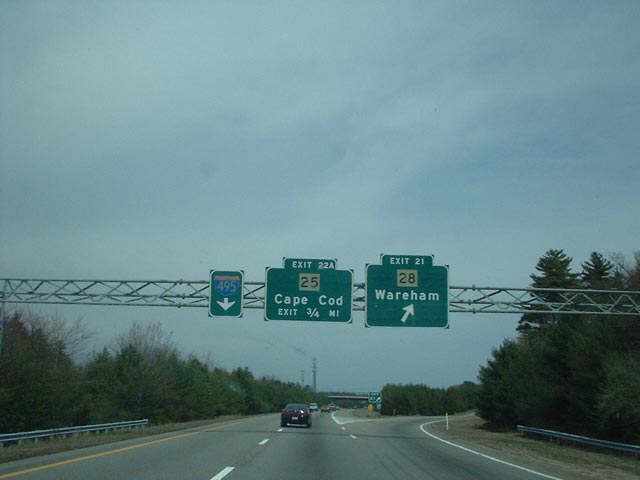
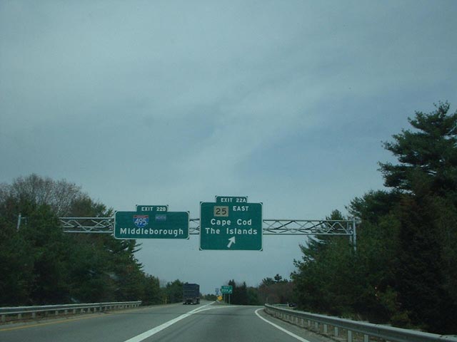
The second to last exit on Interstate 195 is for Exit 21 to Route 28 and Wareham. Route 28 provides a cutoff from I-195 to Route 25 at Exit 22A. Photo by Douglas Kerr (04/20/02).
West at
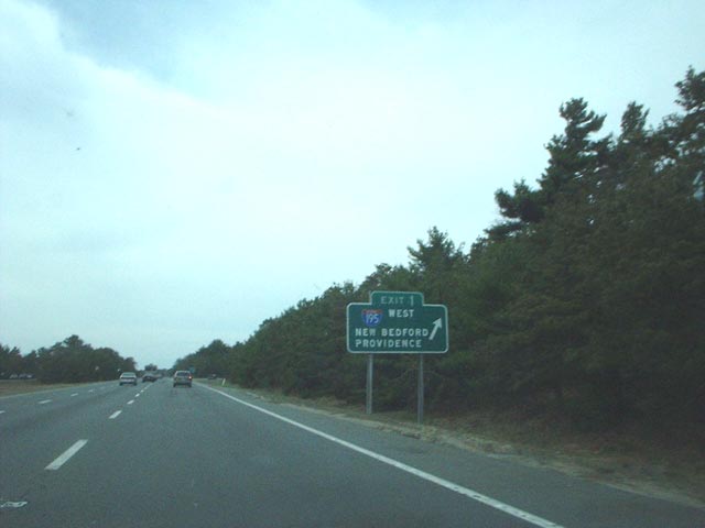
A vintage ground level sign directed motorists onto Interstate 195 west from Route 25 west at Exit 1. Photo by Douglas Kerr (04/20/02).
West End 
 ‐ Providence, RI
West at
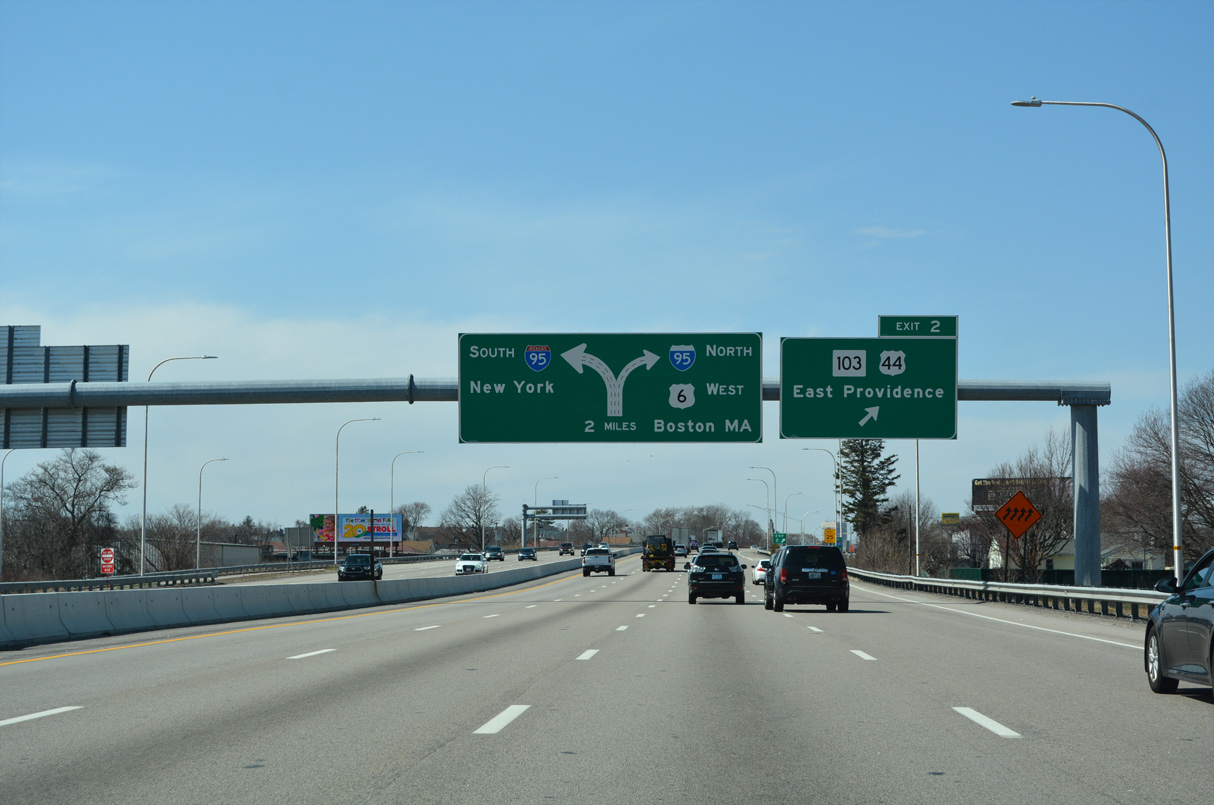
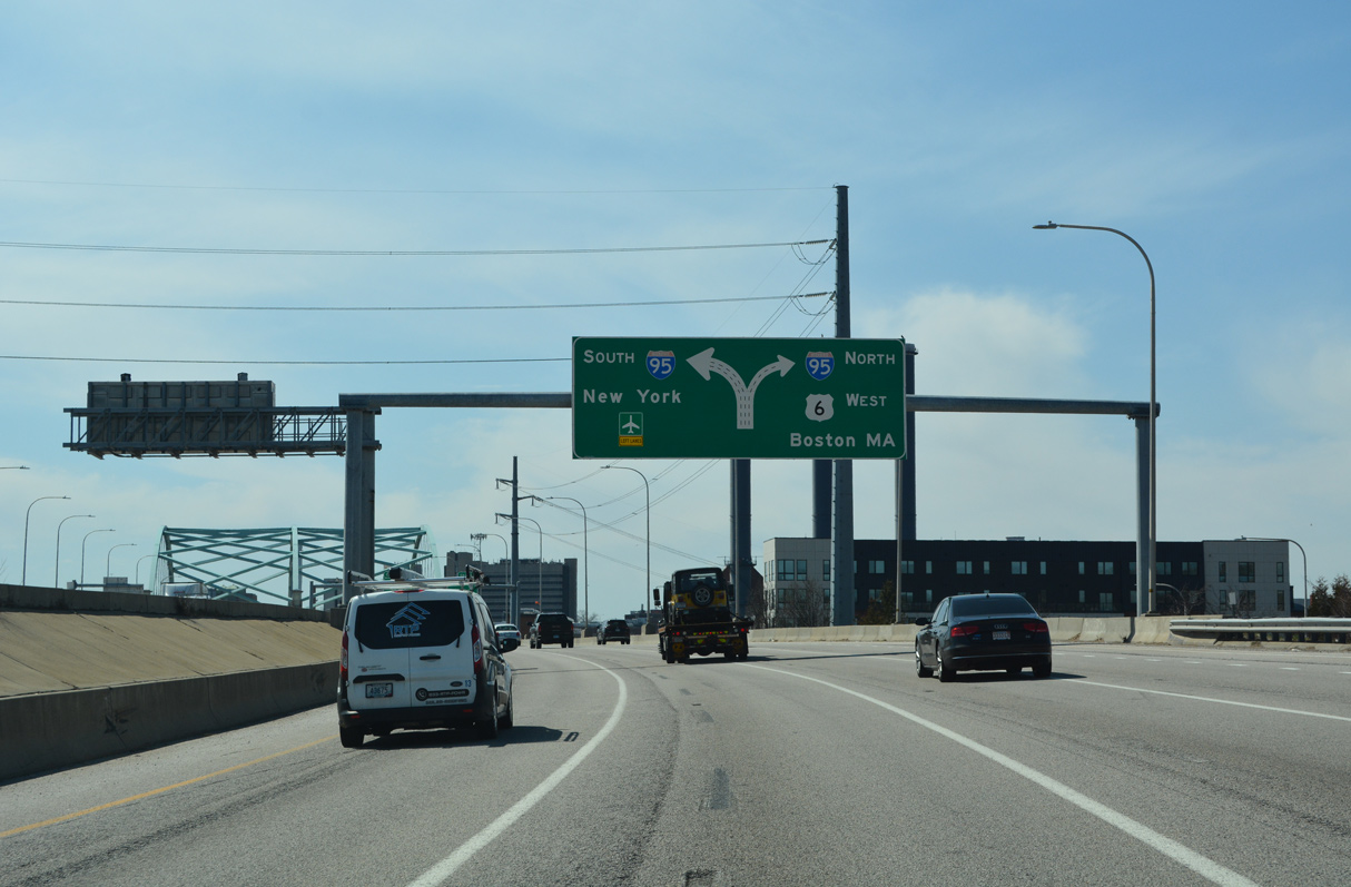
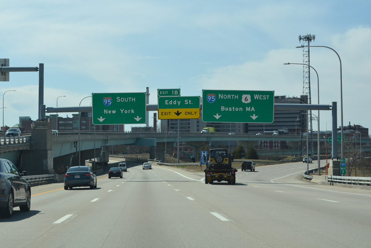
Three lanes join I-95 leading south to T.F. Green Airport (PVD), New London, Connecticut and New York from the west end of I-195 in two miles. 03/27/23
South at
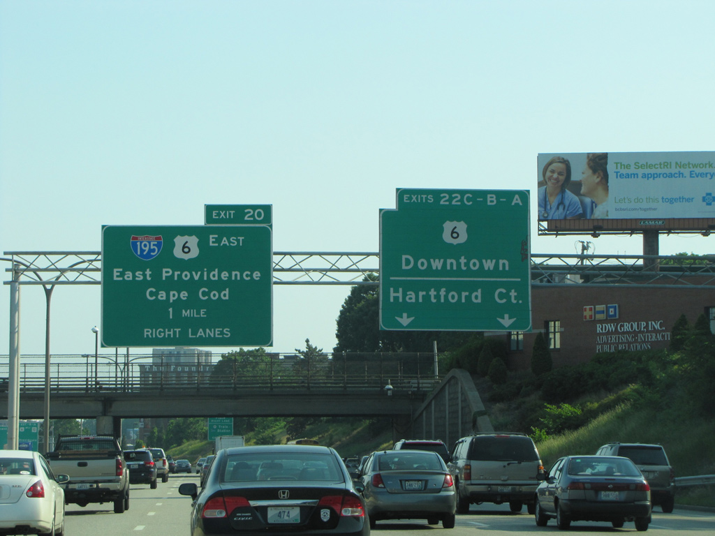
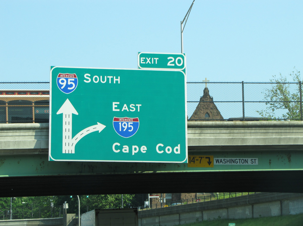
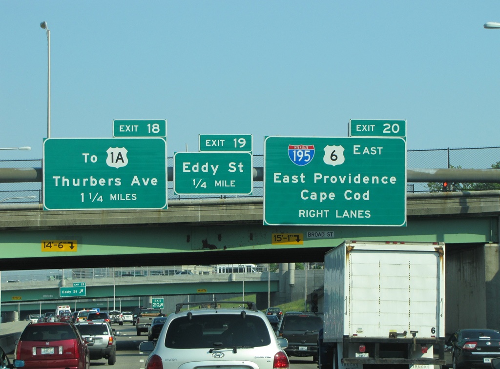
Construction started in 2014 for the Providence Viaduct replacement project rebuilt the southbound lanes of I-95 to the exchange with U.S. 6 west and Memorial Boulevard east. New signs were installed along this stretch in 2015, including a side mounted sign for I-195 east ahead of the Smith Street overpass. Photo by H.B. Elkins (05/31/13).
North at
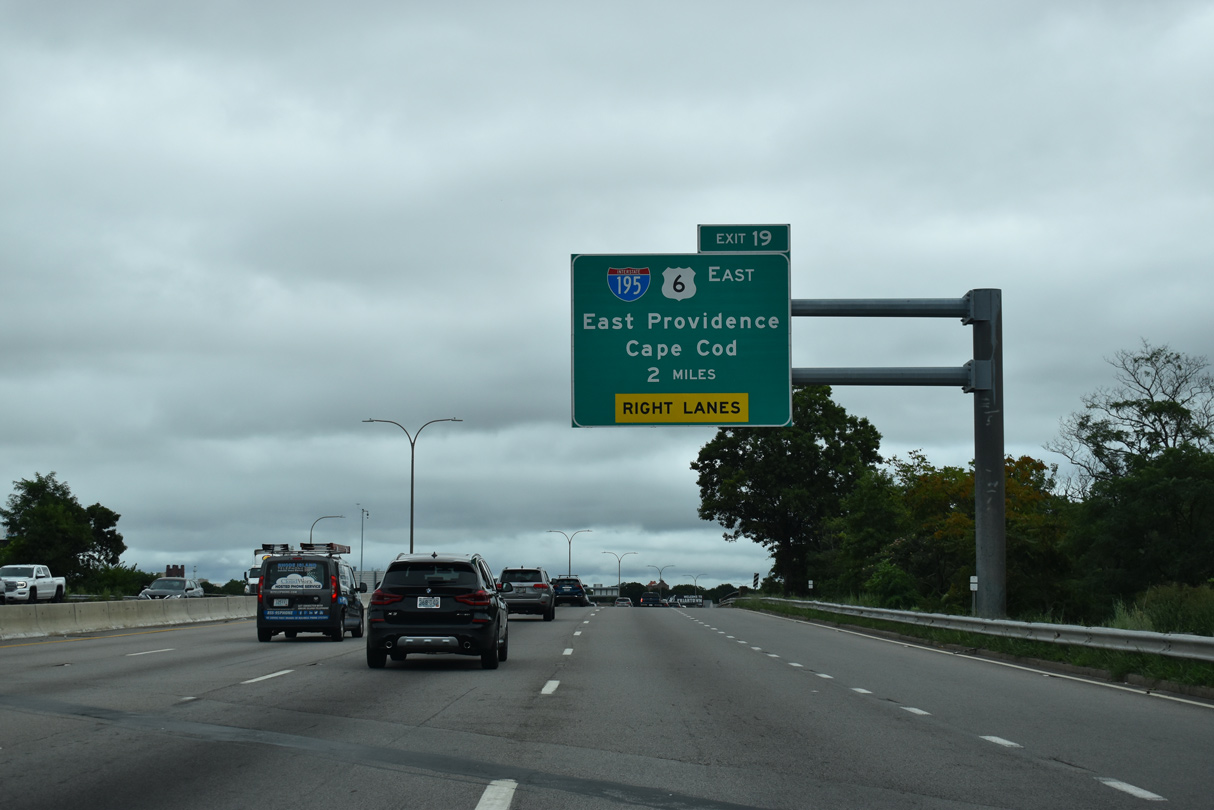
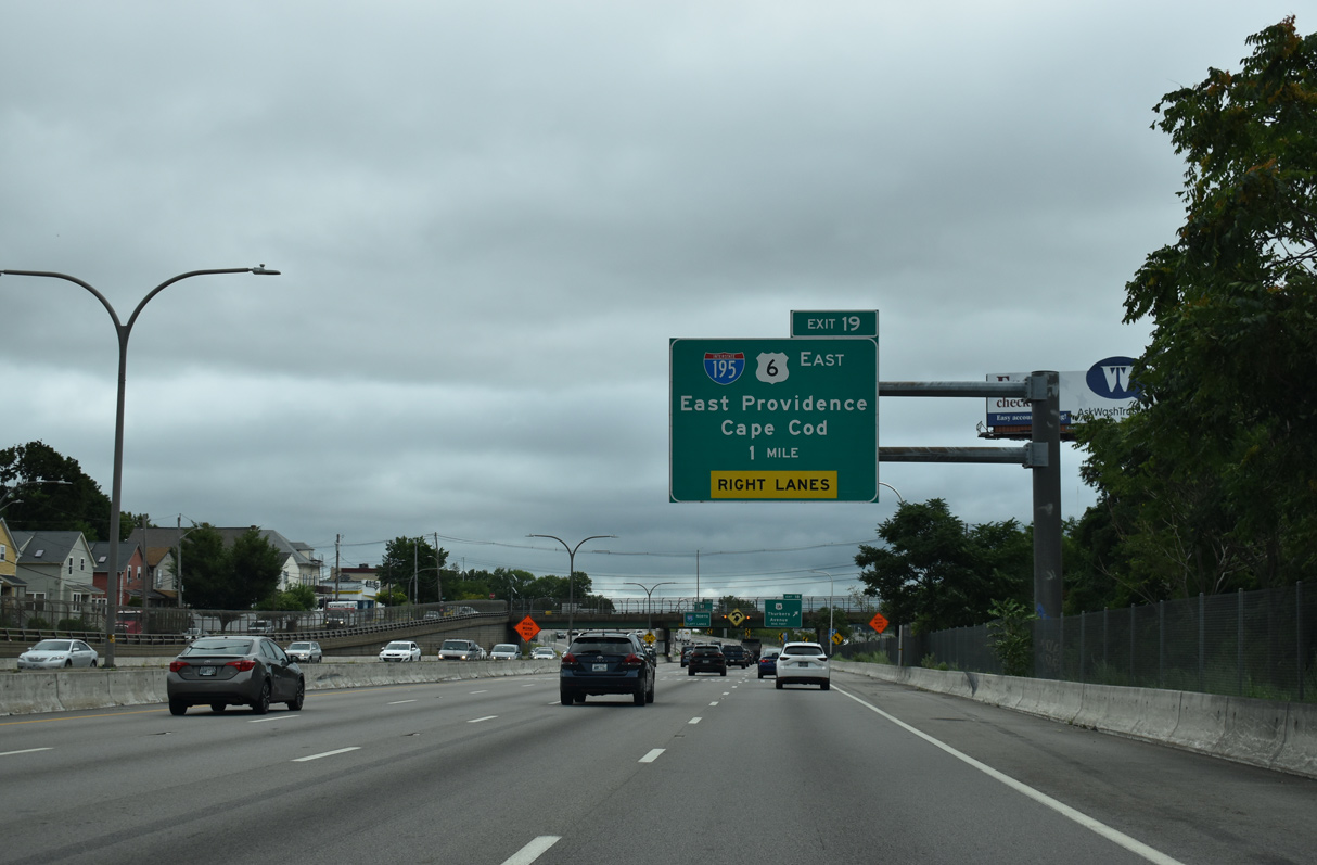
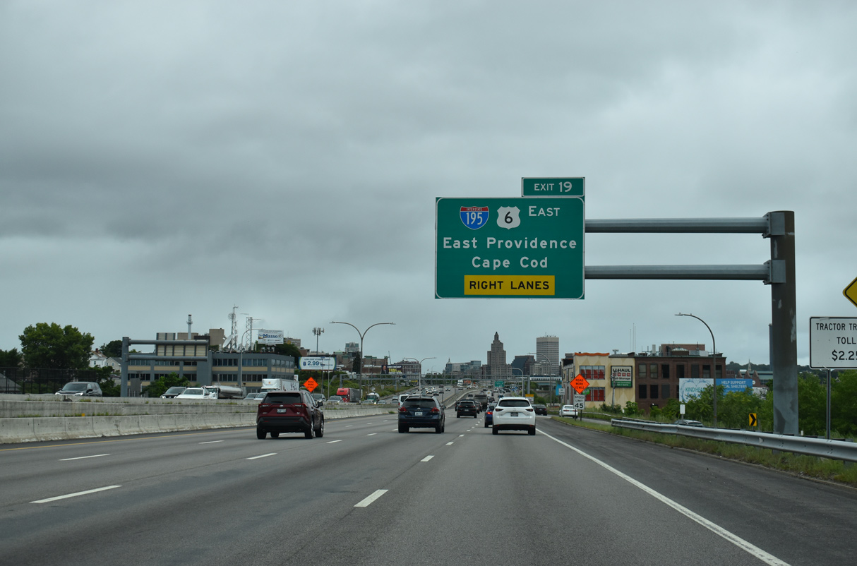
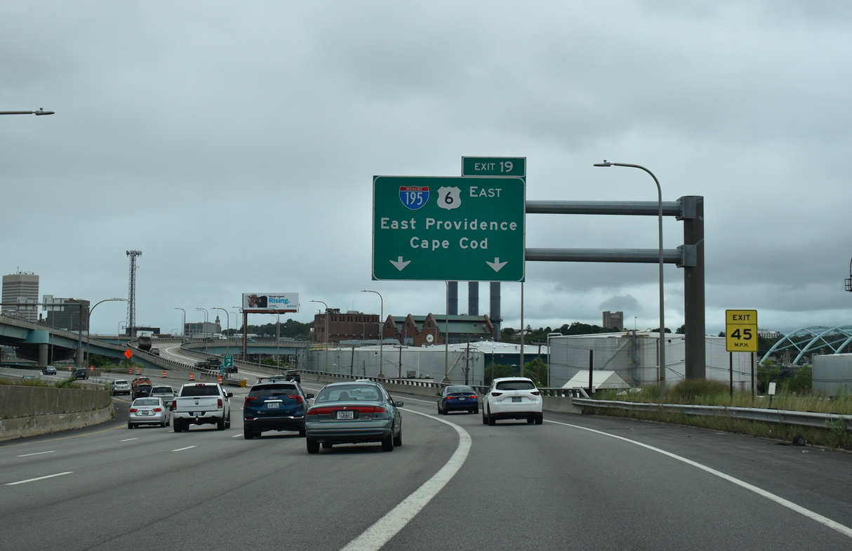
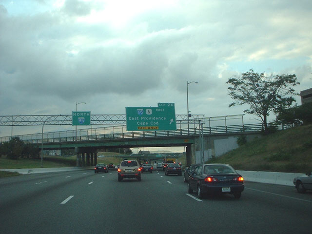
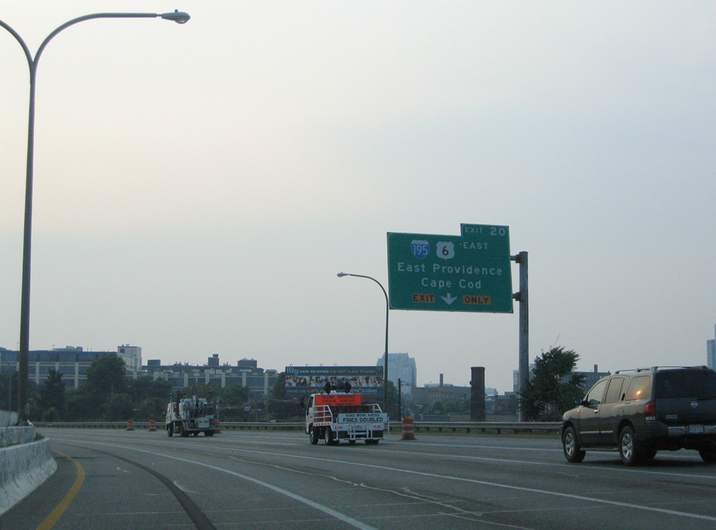
Interstate 95 advances north with four lanes along industrial areas beside Providence Harbor to the three-wye interchange (Exit 19) with I-195/U.S. 6 east. 08/20/21
West End – Past Views
Past Views Gallery (Tap to Expand / Collapse Section)
at
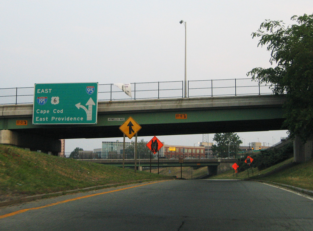
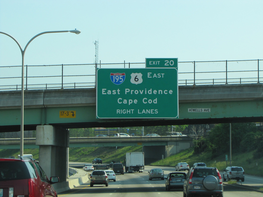
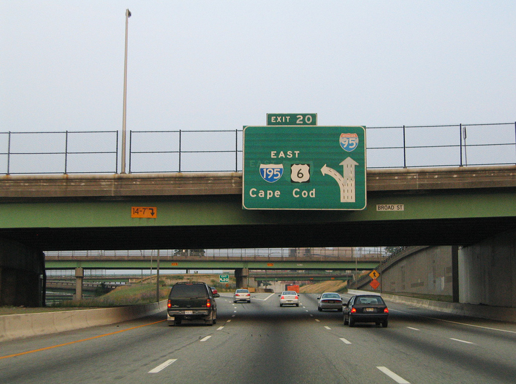
An older diagrammatic sign posted at the Atwells Avenue overpass preceded the short overlap of U.S. 6 east between the Huntington Expressway west and the former alignment of I-195 east. 06/26/05
References
- Anderson, S. (n.d.). East Providence Expressway (I-195). BostonRoads.com. Retrieved from http://www.bostonroads.com/roads/I-195_RI/
- Anderson, S. (n.d.). Interstate 195-Massachusetts. BostonRoads.com. Retrieved from http://www.bostonroads.com/roads/I-195_MA/
- IWAY — Steere Engineering Inc. http://www.steereengineering.com/iway/. Retrieved from http://www.steereengineering.com/iway/
- Federal Highway Administration (FHWA). (n.d.). Project Profile: Iway (I-195 Relocation Project). Center for Innovative Finance Support. Retrieved from https://www.fhwa.dot.gov/ipd/project_profiles/ri_iway.aspx/ipd/project_profiles/ri_iway.aspx
- AARoads Wiki. (2026, February 22). Interstate 195 (Rhode Island–Massachusetts). AARoads Wiki. Retrieved July 22, 2026 from https://wiki.aaroads.com/wiki/Interstate_195_(Rhode_Island%E2%80%93Massachusetts)