
Interstate 35E Minnesota
Overview
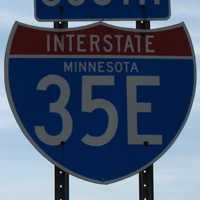
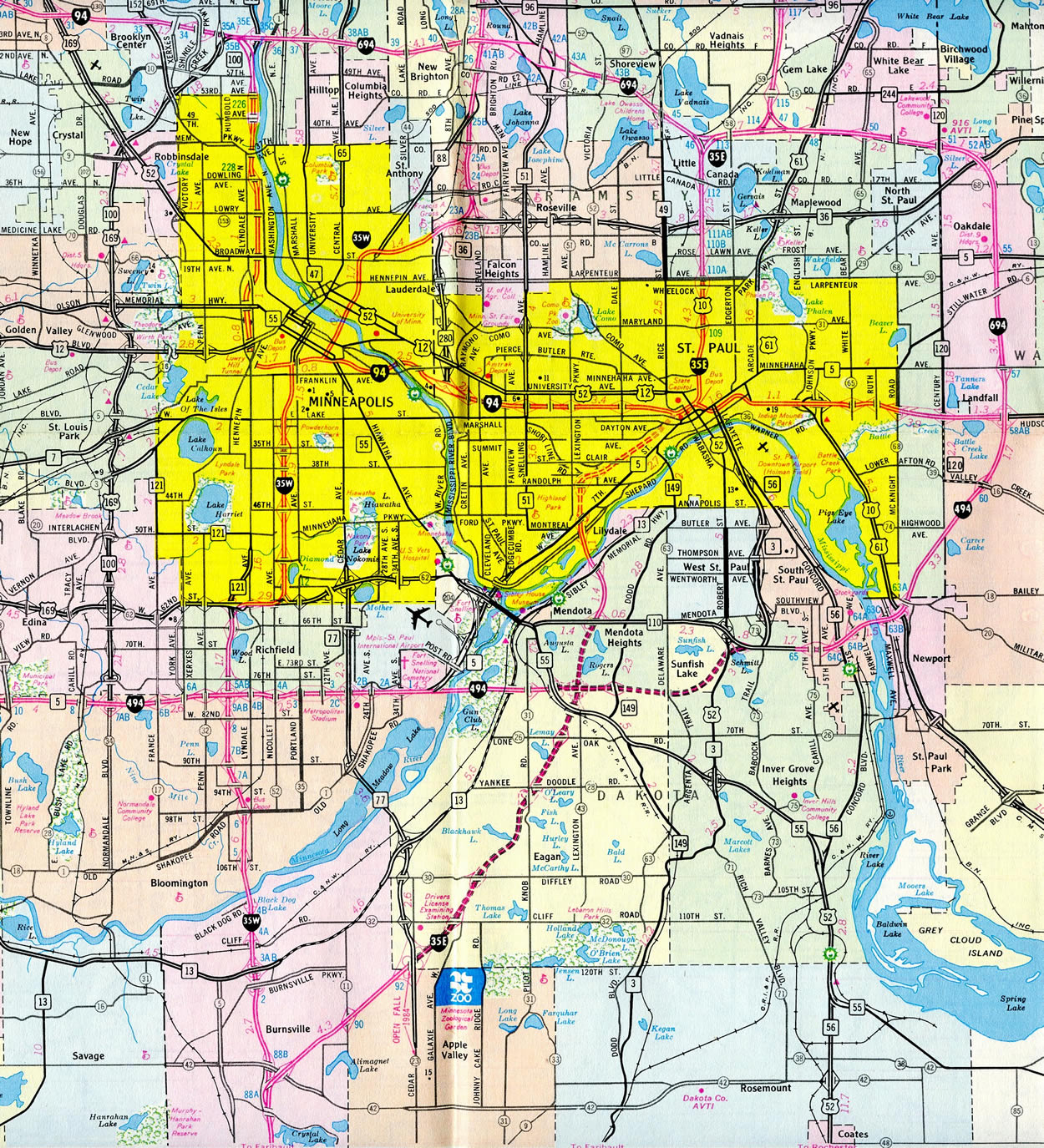
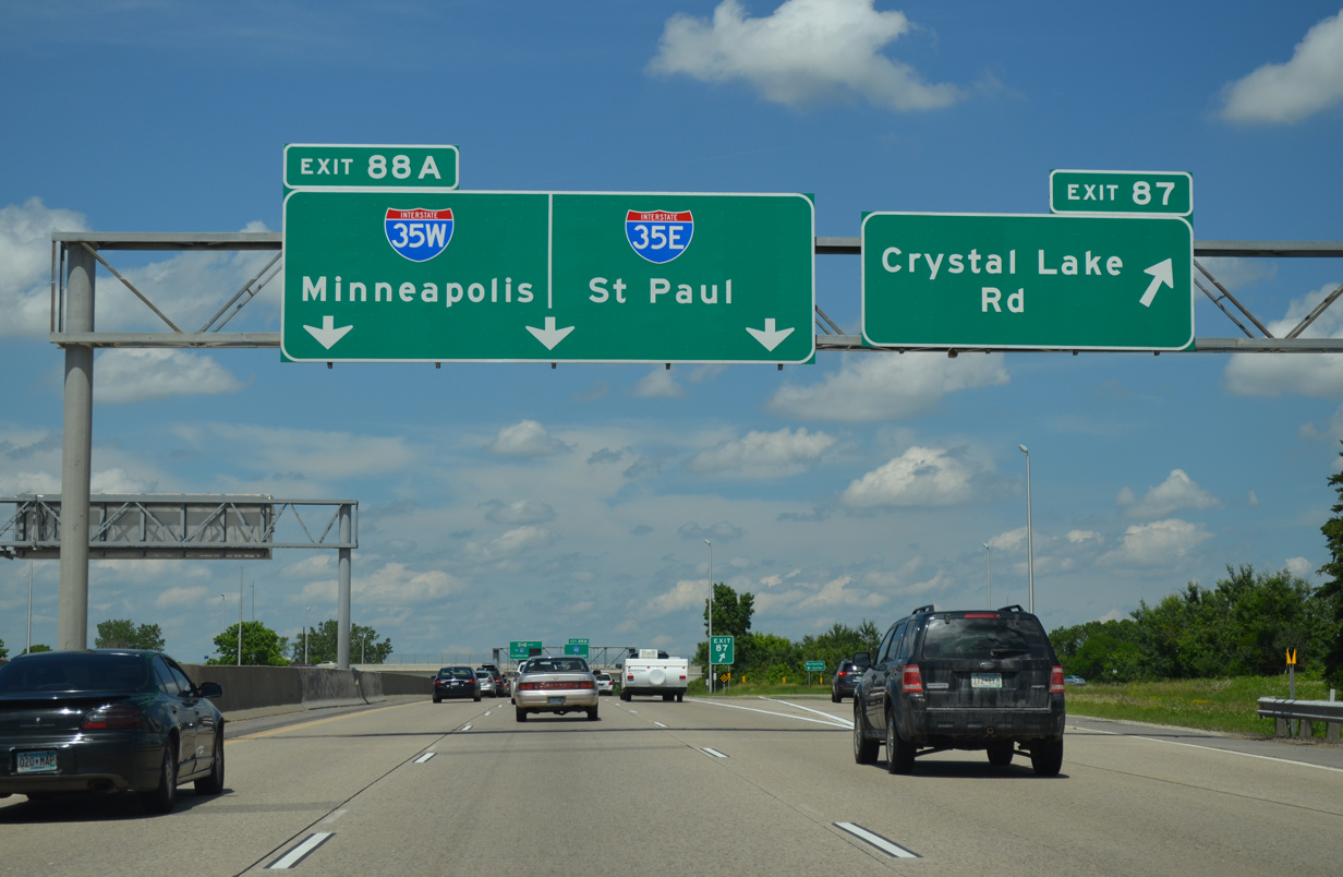
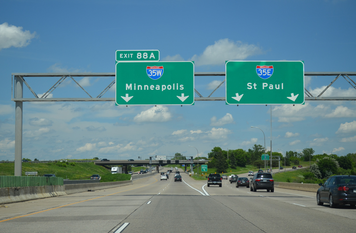
Interstate 35 separates into eastern and western branches through the Twin Cities between Burnsville and Lino Lakes in Anoka County. I-35W leads north to Bloomington and Minneapolis while I-35E travels northeast through to Eagan, Mendota Heights and St. Paul.
Interstate 35E continues the exit numbering system of I-35 through the St. Paul area. The freeway winds northward through Lilydale and across the Mississippi River to enter south Saint Paul at the Crosby Nature Area. An S-curve takes the freeway eastward onto a parkway section ahead of Downtown. The portion of I-35E between MN 5 and I-94 includes a truck prohibition (over 9,000 pounds) due to the parkway status of the route.
Once in Downtown St. Paul, Interstate 35E briefly commingles with I-94/U.S. 12-52 before again curving northward to Maplewood. A due north trajectory takes the route to Little Canada and a dog leg along side Interstate 694 to Vadnais Heights.
The remainder of I-35E travels northward to White Bear Lake, White Bear Township, North Oaks and Lino Lakes. A rural end point lies north of Centerville, with I-35W merging into I-35E from the left.
Mileage by State
| Minnesota | 39.34 mi |
Data Sources
December 31, 2025 Interstate Route Log and Finders List
Parallel U.S. Routes
Interstate 35E combines with U.S. 10 from Downtown St. Paul to I/694 while paralleling U.S. 61 to the west from St. Paul north to Columbus.
Major Projects
Major reconstruction underway from Spring 2013 to Fall 20171 upgraded Interstate 35E between University Avenue (Exit 107 C) in St. Paul and Little Canada Road (Exit 113) in Little Canada. Work involved expanding the freeway to eight overall lanes, with three general purpose lanes and a MnPass (HOT) lane in each direction. Construction replaced the bridges for I-35E over Pennsylvania Avenue, the Soo Line Railroad and Cayuga Street as part of a relocation of the freeway several hundred feet east. Work also removed the ramps with Pennsylvania Avenue and replaced them with a new folded diamond interchange at Cayuga Street.2
Further north through the I-35E project area, the overpass for Maryland Avenue at Exit 109 was replaced during summer 2012. New bridges were constructed over the freeway at Arlington Avenue, Wheelock Parkway and Larpenteur Avenue (Exit 110A). The spans for I-35E above Roselawn Avenue and County Road B were also replaced. The full cloverleaf interchange at MN 36 was modified, but remains in the same configuration otherwise. The I-35E overpasses above MN 36 however were also replaced. An unbonded concrete overlay was used for the new surface throughout the project area.2
The MnPASS lanes on I-35E between St. Paul and Little Canada commenced operations on November 30, 2015. The HOT lanes use the innermost lane of each roadway.3
History
Interstate 35E was the last Minneapolis-St. Paul area Interstate to be completed. Delays due to litigation and compromise pushed the final four mile segment of I-35E back to an opening on October 15, 1990, 19 years after work started. This stretch through the West Seventh area runs northeast from south St. Paul to Interstate 94 in Downtown.
I-35E through south St. Paul was first envisioned in 1920 and planned more formerly as a six lane freeway known as the Pleasant Avenue corridor in 1955. Initial work on the route was halted in 1972, after only a year of progress. During that time, area residents formed a citizens group against the highway known as RIP-35E, for "Residents In Protest", complete with a tombstone symbol for the road. Their efforts led to political action at both city and state levels, resulting in an extensive reevaluation of the freeway plans.
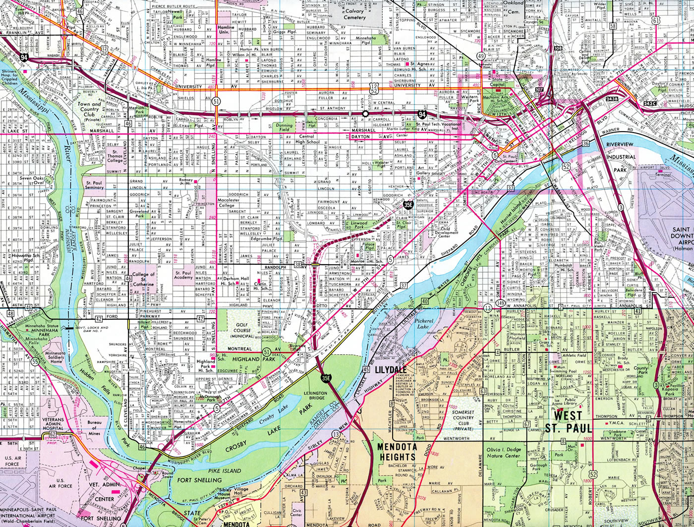
A plan to construct a parkway in place of a high speed freeway was nearly reached, when labor unions gave their input and swayed the opinions of public officials. The prior plan did not include a direct connection with I-94, but the new plan did. This resulted in a law suit filed by RIP-35E in March 1983 over the connection issue, which the group contended was sufficient using city streets to continue northward along I-35E beyond Downtown. A federal judge disagreed and ruled against RIP on February 9, 1984, allowing for the direction connection.
Some work resumed along the parkway section of I-35E in 1983 due to an out-of-court agreement. The end result of the RIP-35E group and other compromises is a four lane parkway with a restriction against commercial trucks and a low 45 Mile Per Hour speed limit. Additionally median trees, shrubs and decorative lighting and fencing were incorporated into the landscaping and design of the roadway. Total cost of the parkway section of I-35E between the Mississippi River and I-94 was $68 million.4
Completion dates per Minnesota Official Highway Maps:
- By 1964 - the first stretch of I-35E is open from Maryland Avenue north to I-694 west at Little Canada.
- 1965 - I-35E is under construction from MN 110 to MN 5 and from Maryland Avenue south to Downtown St. Paul and from the Lino Lakes south city northward.
- 1968 - open from I-494 at Mendota Heights to MN 5 (7th Street) in south St. Paul and between Downtown St. Paul (I-94) to I-694 at Little Canada
- 1971 - I-35E north from I-694 and Vadnais Heights to I-35W at Columbus.
- By 1983 I-35E was open from Burnsville north to MN 77 at Eagan, with the portion north from there to MNa 110 at Mendota Heights under construction.
North End  ‐ Columbus, MN
 North at
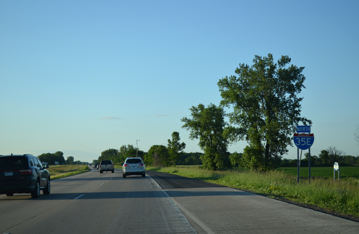
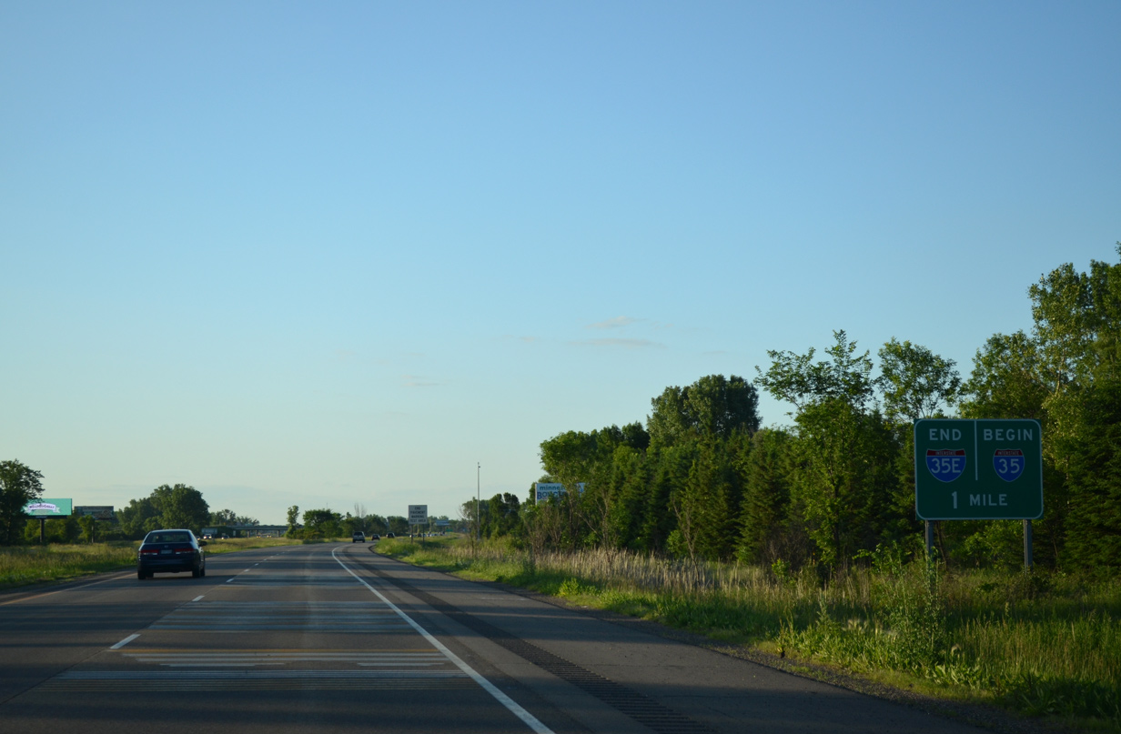
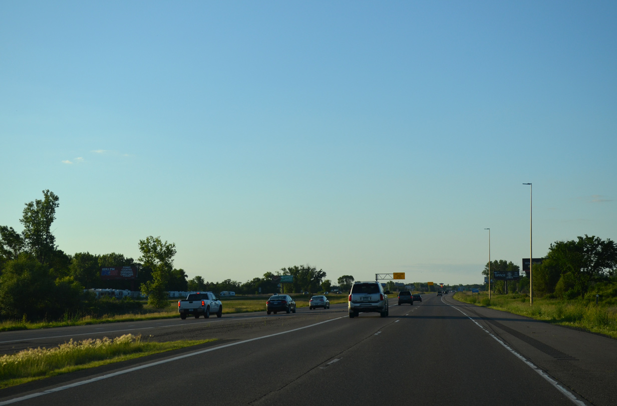
The last northbound shield for Interstate 35E appears along a rural stretch leading away from Centerville. 06/15/15
South at 
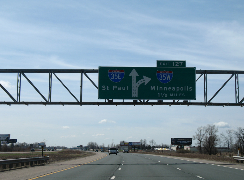
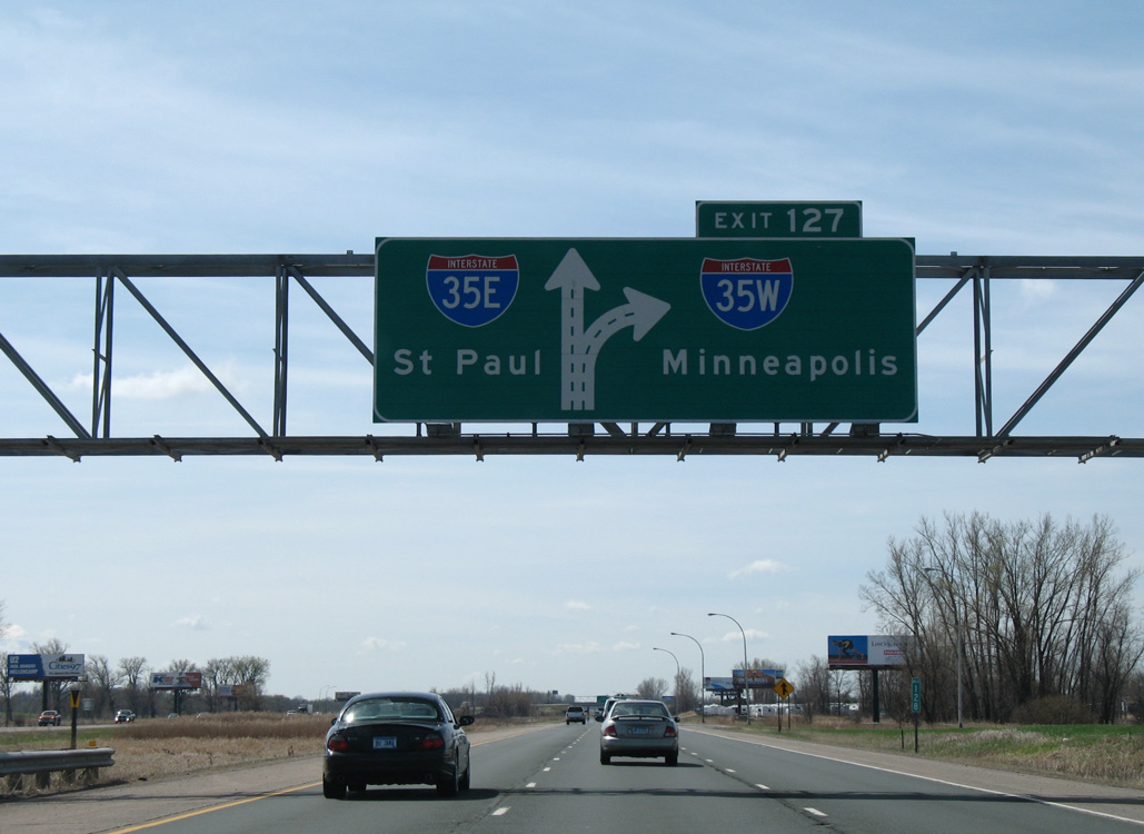
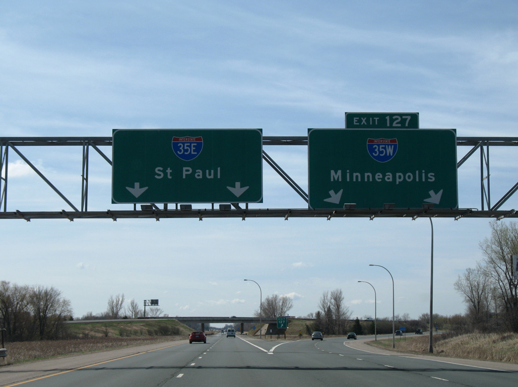
Diagrammatic signs for I-35E and I-35W posted on southbound I-35 were replaced by 2011. Exit 127 is used for I-35W, while the exit numbering for I-35 continues along I-35E. 04/23/07
South
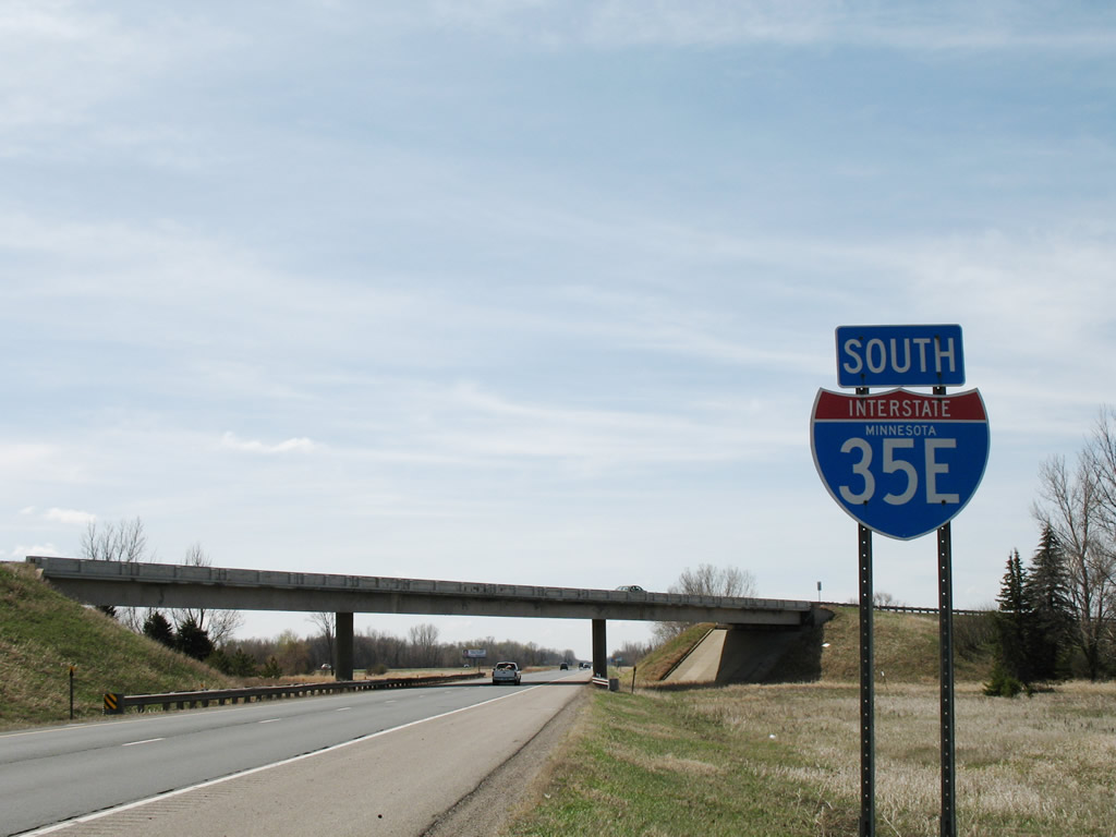
This state named shield was the first reassurance marker for I-35E south. It was replaced by 2008 and stood just ahead of the overpass carrying I-35W north onto I-35. 04/23/07
South End ‐ Burnsville, MN
South at
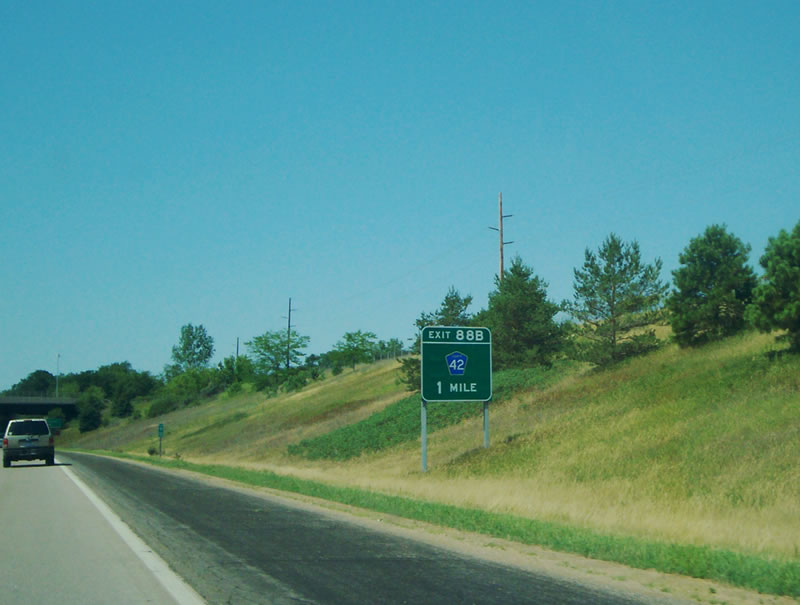
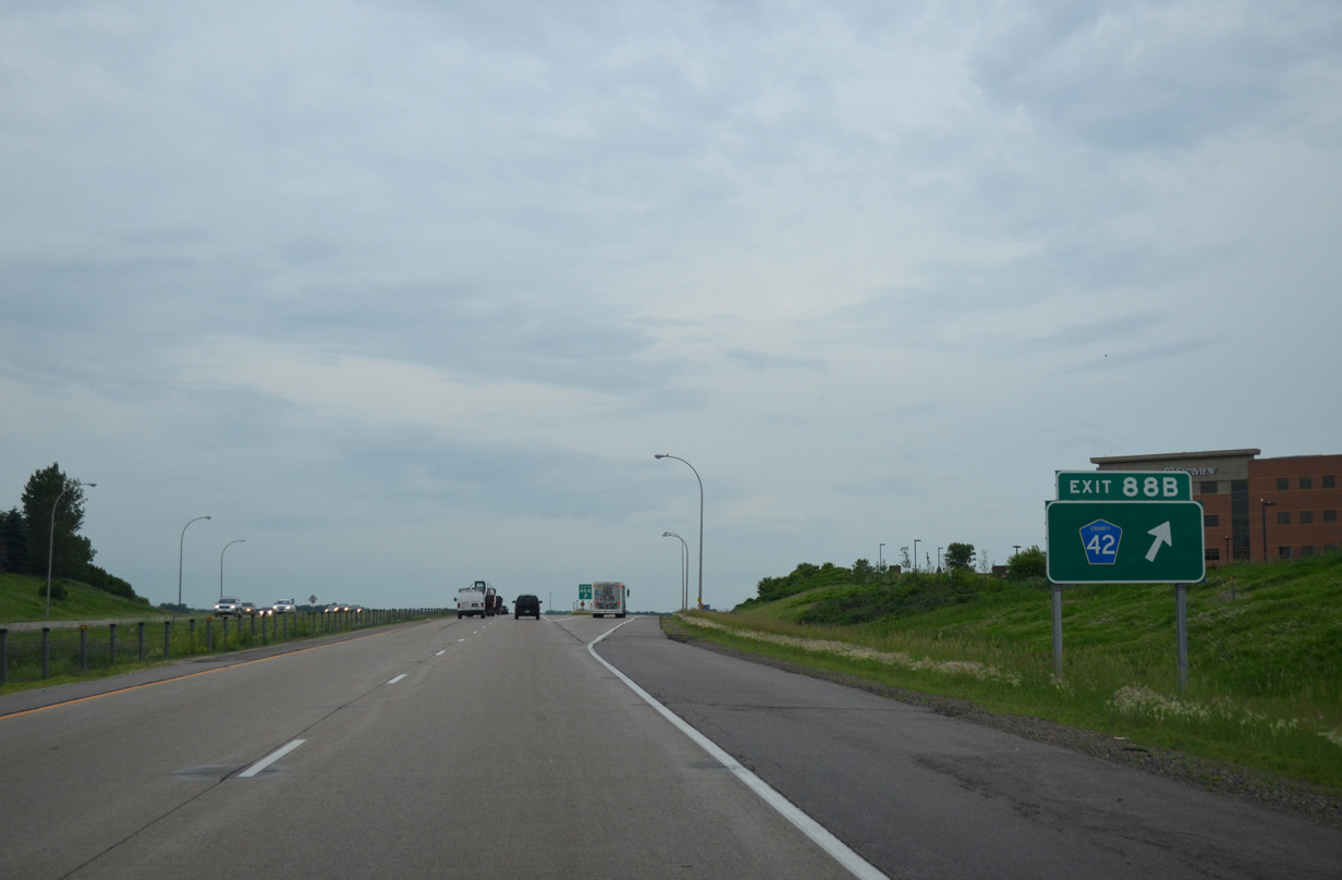
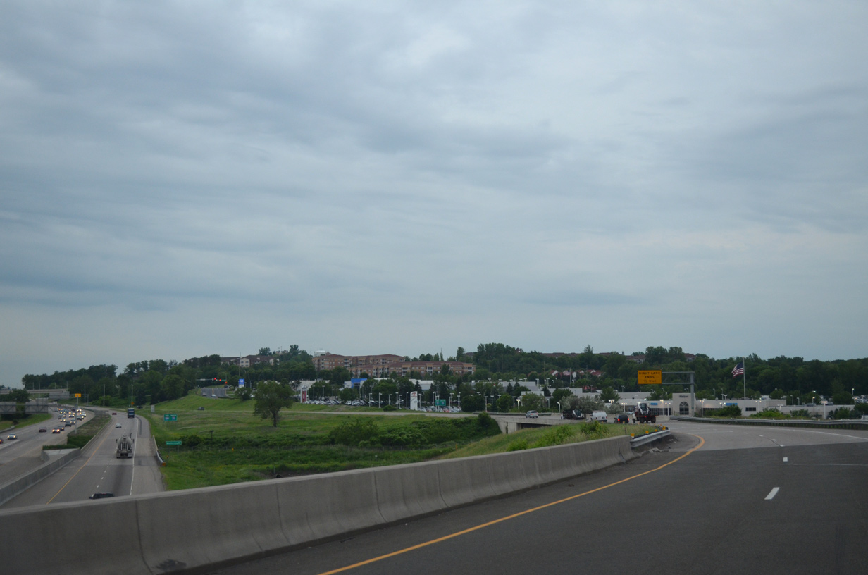
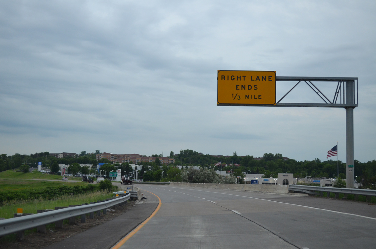
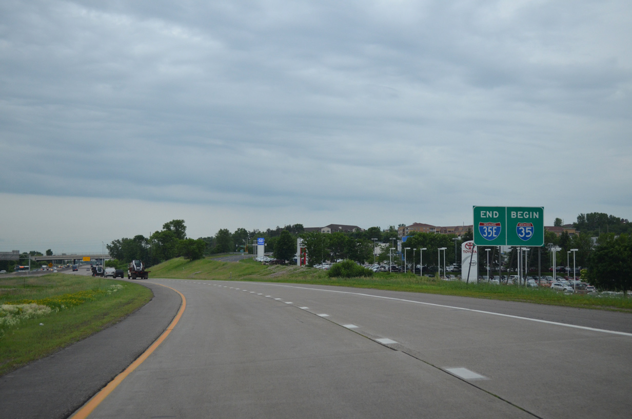
The final exit along I-35E connects with Dakota County Road 42 in Burnsville. Photo by Chris Lokken (07/13/06).
North at
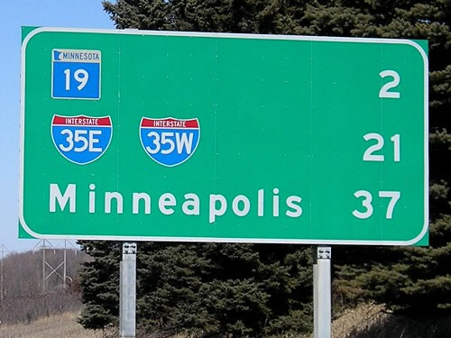
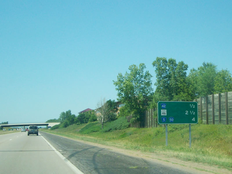
The I-35E/I-35W separation appears along Interstate 35 north, 21 miles to the south ahead of Exit 69 for MN 19 near Northfield. Photo by Jeff Morrison (03/19/07).

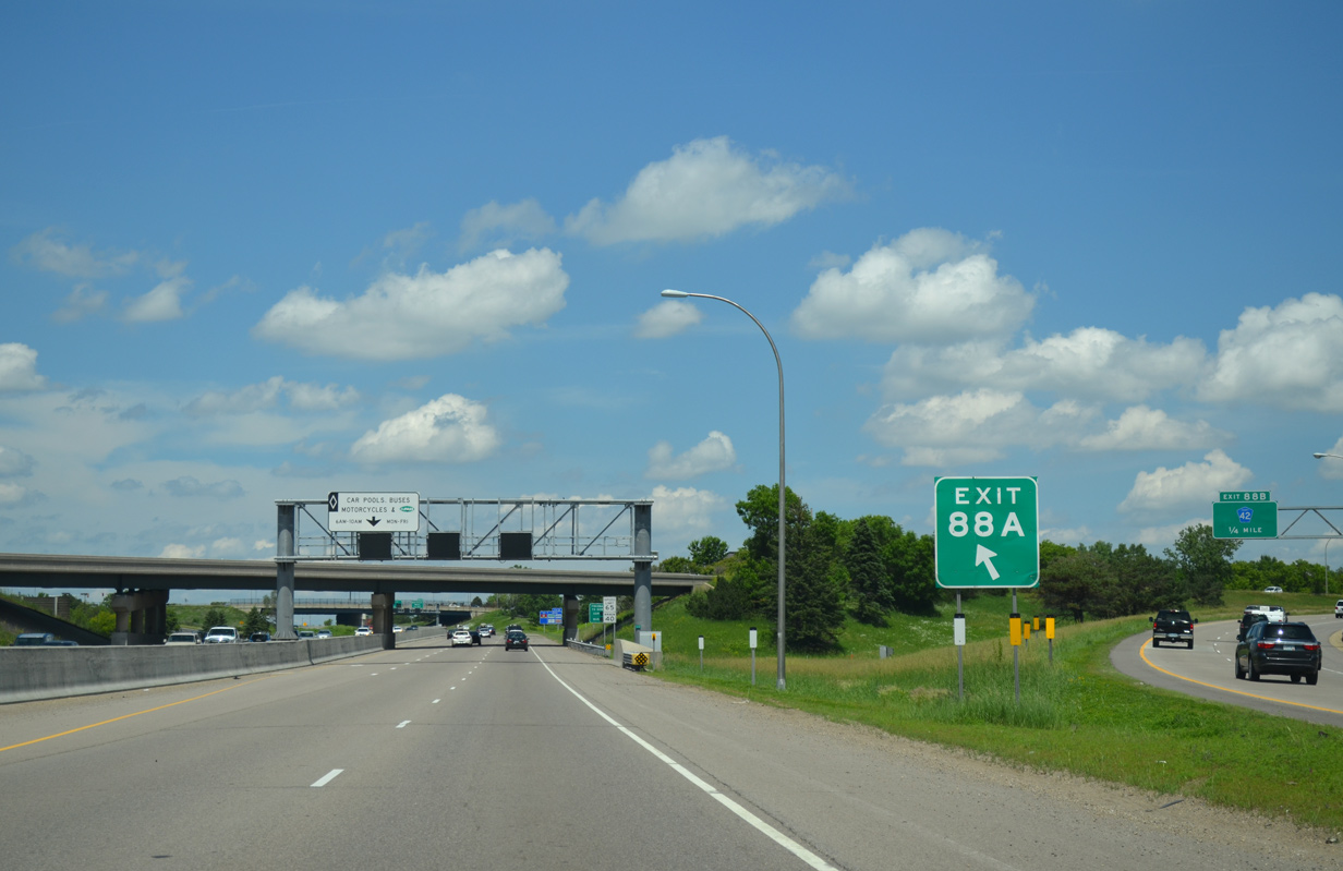
North
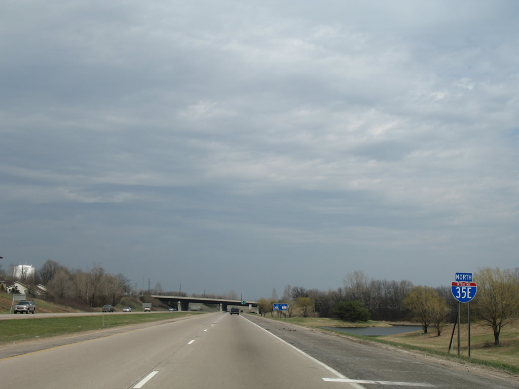
The first reassurance marker for Interstate 35E north stands between the Portland Avenue and McAndrews Road overpasses ahead of Exit 90 for Apple Valley. 04/21/07
References
- Minnesota Department of Transportation (MnDOT), project web page. Retrieved from http://www.dot.state.mn.us/metro/projects/35estpaul/index.html
- mndotvis. (2013, March 26). I-35E project video [Video file]. Retrieved from https://www.youtube.com/watch?v=bqZgvaEKcPc
- "MnPASS lanes open on I-35E." Pioneer Press, November 29, 2015.
- "North, South Legs Of I-35E Will Finally Be Connected." St. Paul Pioneer Press (MN), October 7, 1990.
- Froehlig, A. (2008, May 24). I-35E South Metro (outside the Beltway). Retrieved from http://www.ajfroggie.com/roads/minnesota/interstate/i35e-s.htm