
Interstate 35W Minnesota
Overview
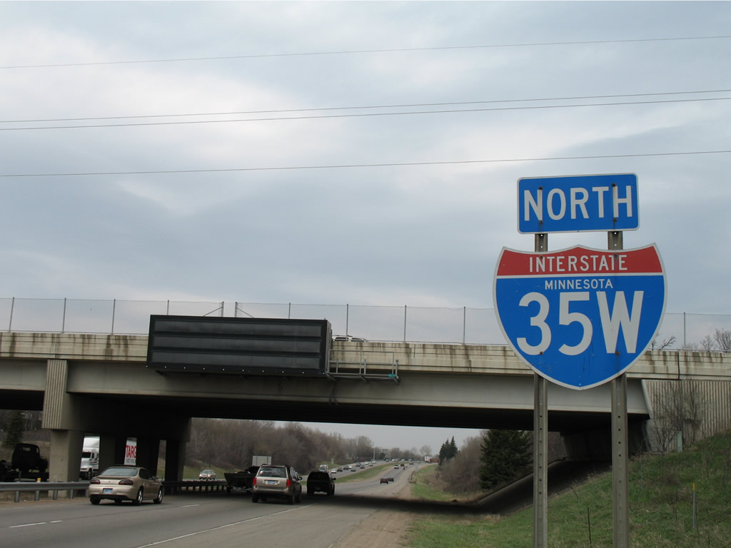
Interstate 35 splits into I-35E and I-35W to serve St. Paul to the east and Minneapolis to the west. The two split at Burnsville in the south suburbs, with I-35W leading north to Bloomington and Richfield and I-35E angling northeast through Apple Valley, Eagan and Mendota Heights.
I-35W includes a High Occupancy Toll (HOT) lane in both directions from the split with I-35E northward to the interchange with MN 65 and Interstate 94 at Downtown Minneapolis. The freeway dog legs east along side MN 62 (Crosstown Highway) and also adjacent to I-94 on the south side of the Minneapolis central business district.
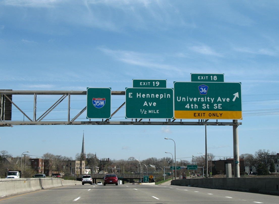
Beyond the separation with I-94, Interstate 35W branches northeasterly, first crossing the Mississippi River on the St. Anthony Falls Bridge and then turning east to Roseville and the west end of MN 36, a freeway extending east to Maplewood. North from there, I-35W straddles the New Brighton and Arden Hills city line to Mounds View and Shoreview. U.S. 10 briefly ties into the freeway along this stretch.
I-35W curves easterly again at Blaine to Lino Lakes. The freeway traverses an area of wetlands from Rice Lake Chain of Lakes Regional Park Preserve to Peltier and Rondeau Lakes to recombine with Interstate 35E at a wye interchange in south Columbus.
Mileage by State
| Minnesota | 41.78 mi |
Data Sources
December 31, 2025 Interstate Route Log and Finders List
Parallel U.S. Routes
Interstate 35W parallels historic U.S. 65 north from Burnsville to Downtown Minneapolis and old U.S. 8 from Minneapolis north to Columbus.
Collapse of Interstate 35W Mississippi River Bridge
The Interstate 35W bridge over the Mississippi River collapsed during the peak traffic hours of August 1, 2007, near Downtown Minneapolis. Without any notice, the deck truss bridge (built in 1964, opened in 1967, 1907 feet long, 14 spans) plummeted into the waters of the Mississippi River some 64 feet below, sending motorists into the river in an instant.1 A total of 111 vehicles were on the portion of bridge that collapsed; 13 people died and 145 people were injured in the tragedy. Inadequate load capacity of the gusset plates (support elements along the under side of the bridge) failed, causing the bridge collapse to occur. An in depth report from the NTSB on the event is available here.
A $15 million contract to remove the bridge debris was awarded to Carl Bolander & Sons Co. on August 8, 2007. Crews used three cranes to lift the bridge deck segments for their move to a staging area for analysis by NTSB officials.
During this period without the crossing, commuters were directed on Interstate 94 and MN 280 to circumvent the bridge area of I-35W. MnDOT blocked intersections along MN 280 at County Road B, Broadway Street NE, Walnut Street and Roselawn Avenue in an effort to temporarily upgrade the state trunk highway into a limited access highway. Prior to that change, MN 280 was partially a freeway between I-94 and I-35W.
Accommodating ten overall lanes of traffic, the replacement span opened well ahead of schedule on September 18, 2008. Named the St. Anthony Falls Bridge, the span is 189 feet wide, 76 feet more than the original span, and includes both full inside and outside shoulders.
History
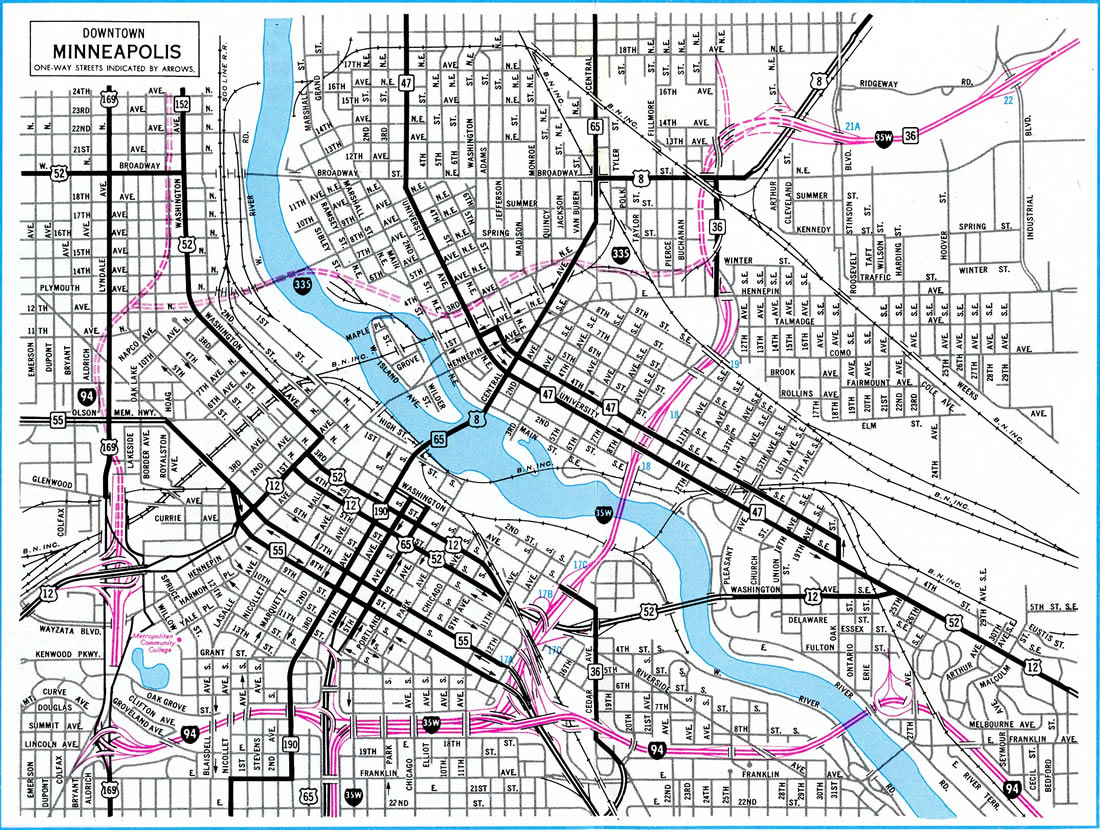
Interstate 35W completion dates per Minnesota Official Highway Maps:
- 1961 - I-35W was open from a point north of MN 13 at Burnsville to the Lyndale Connector (then U.S. 65).
- 1965 - I-35W under construction southward from MN 13 to I-35 at Burnsville and northward from the Lyndale Connector to Lake Street.
- 1968 - open from Burnsville (I-35) north to I-94 and Downtown Minneapolis and from MN 208 (Exit 23A) north to County Road H (Exit 28C) at Mounds View.
- Fall 1968 - I-35W extended north from Mounds View to Lake Drive (then U.S. 8) at Lino Lakes. I-35E and I-94 side by side section through Downtown Minneapolis also completed.
- 1969 - Mississippi River Bridge north of Downtown Minneapolis.
- 1970 - Interstate 35W complete between Lake Drive in Lino Lakes to I-35 at Columbus.
- 1973 - I-35W extended south from the Mississippi River Bridge to I-94 and north to Hennepin Avenue (Exit 19). The north section of I-35W opened west to New Brighton Boulevard (then U.S. 8) and cosigned as Minnesota 36.
- 1976 - Interstate 35W completed overall with the section between Hennepin Avenue and New Brighton Boulevard opened. The interchange along this segment with I-335 dropped as the route was canceled.
History of Split Routes
In their guidelines of signing Interstates, the American Association of State Highway and Transportation Officials (AASHTO) mandated that all suffixed Interstate highways be removed from the system in 1973. This resulted in many changes including:
- Interstate 5W to I-505 and I-580 (Oakland to south of Tracy) in California
- Interstate 15E to I-215 in California (former U.S. 395)
- Interstate 15W to the Western I-86 in Idaho
- Interstate 35 to I-135 in Kansas
- Interstate 70N to I-70 and Interstate 70S to I-270 in Maryland
- Interstate 75E to I-75 in the Tampa Bay Area (original I-75 was renumbered I-275)
- Interstate 80N to I-680 in Iowa
- Interstate 80N to the Western I-84 in Oregon, Idaho, and Utah
- Interstate 80S to I-76 in Colorado
- Interstate 80S to I-76 in Ohio, Pennsylvania, and New Jersey
- Interstate 81E to I-380 in Pennsylvania
Most of these conversions were completed during the 1960s and 1970s. The Western Interstate 84 was among the last, as it was converted by 1980. However, there were two exceptions remaining in the system: I-35 splits twice into Interstate 35E and Interstate 35W, once in the Dallas/Fort Worth metro area and again in the Minneapolis/St. Paul metro area. The reason these split routes remain is that neither city wanted to relinquish the routing of Interstate 35. AASHTO conceded and the split suffixed routing remains in both Texas and Minnesota.
A new set of split routes appeared in 2013 when I-69C and I-69E were established in South Texas by an act of Congress. The circumvented the oversight of AASHTO and the mandate that no new suffixed routes be designated. Interstate 69W was established a year later.
North End  ‐ Columbus, MN
 North at
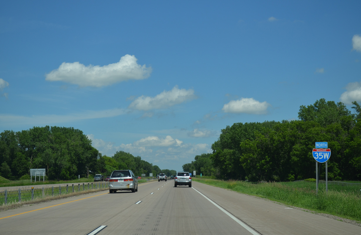
The final reassurance shield for Interstate 35W stands beyond Anoka County Road 23 east of Peltier Lake. 06/14/15
South at 
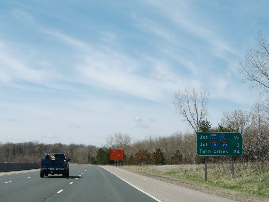
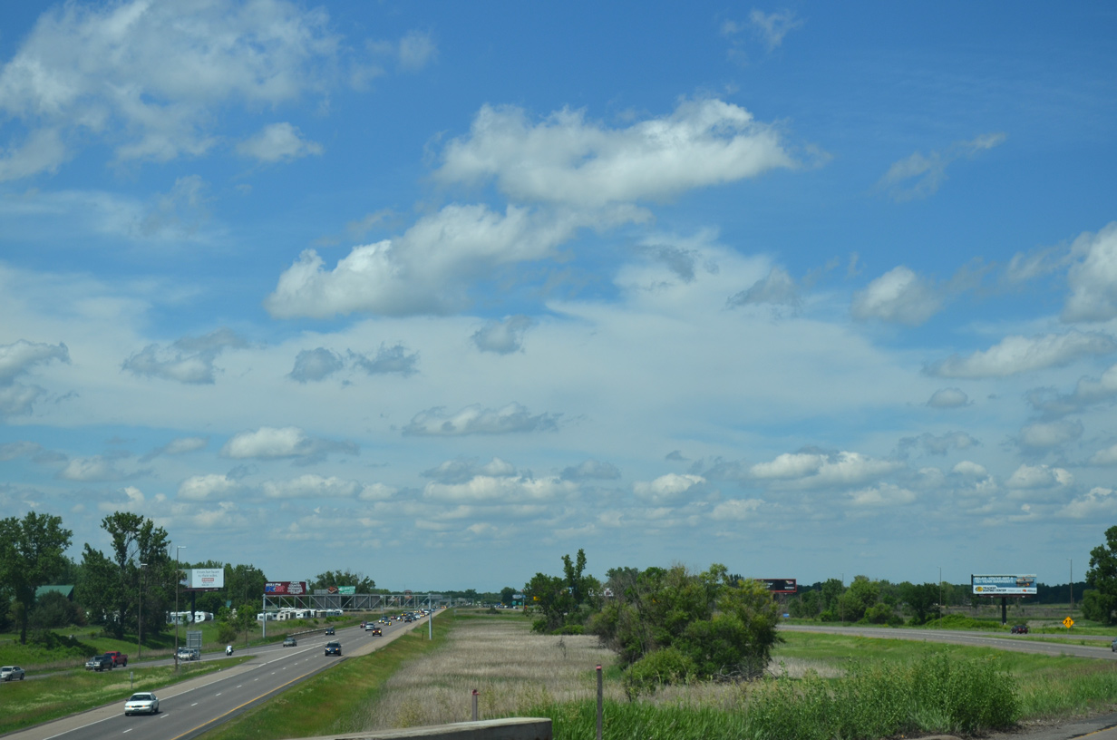
Passing between Clear and Mud Lakes in Forest Lake, Interstate 35 is three miles out from the I-35E-W separation. 04/23/07
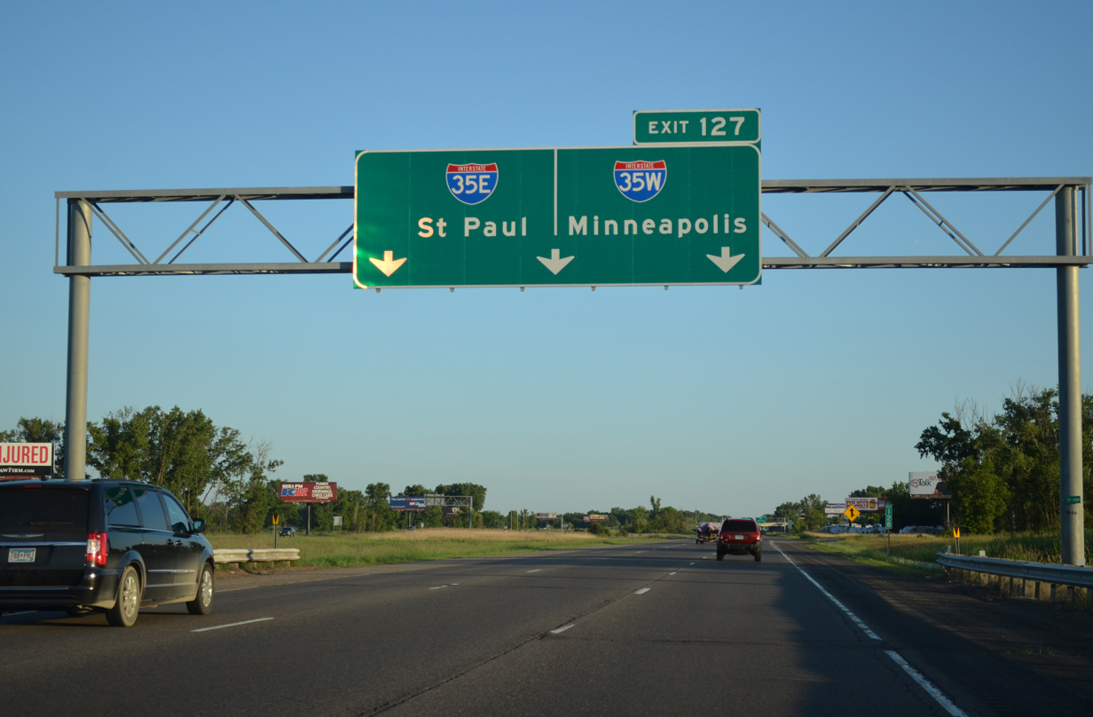
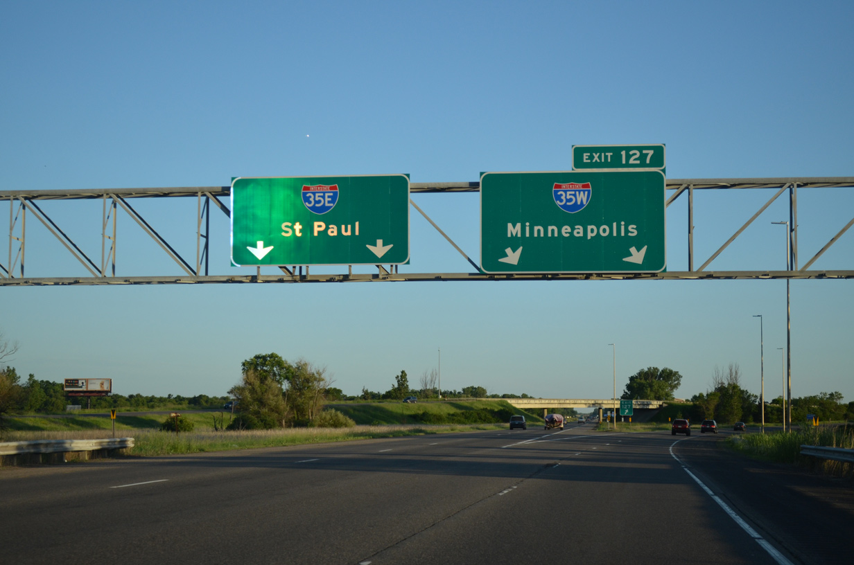
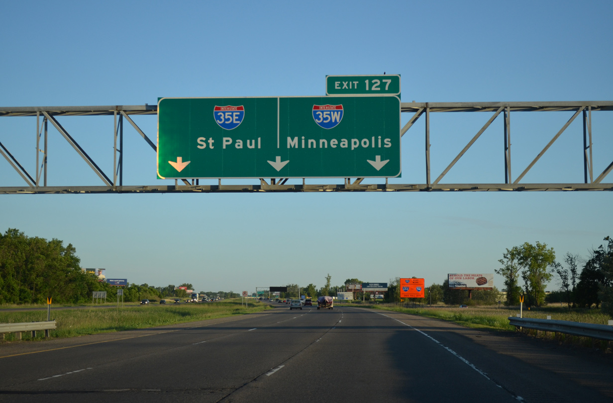
South
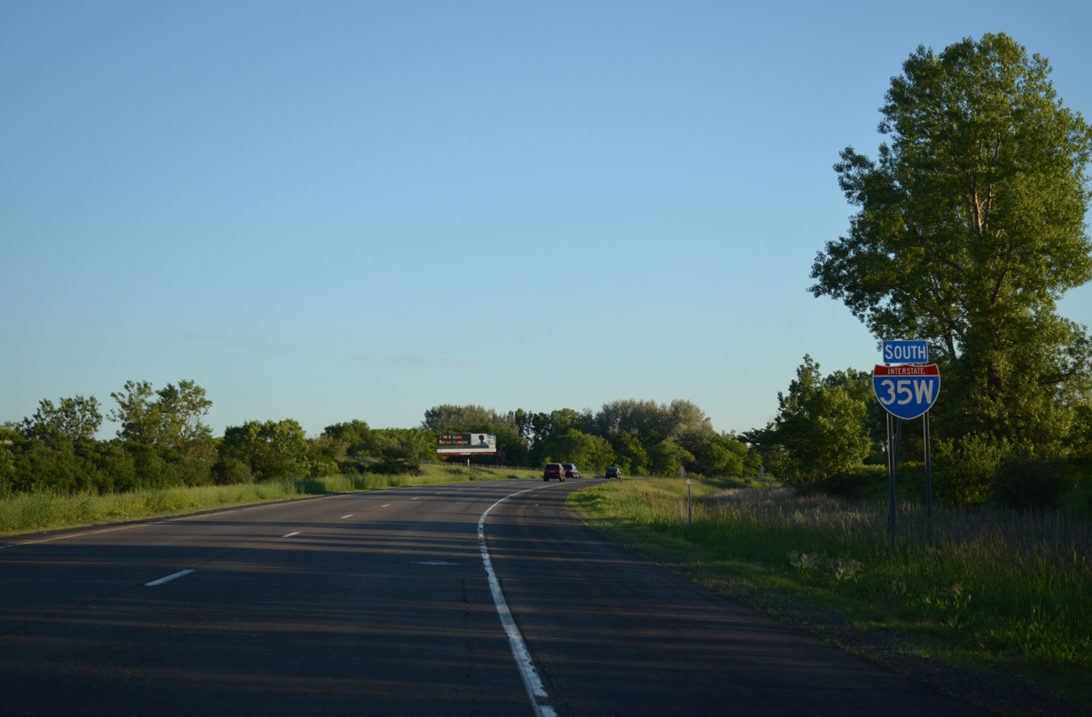
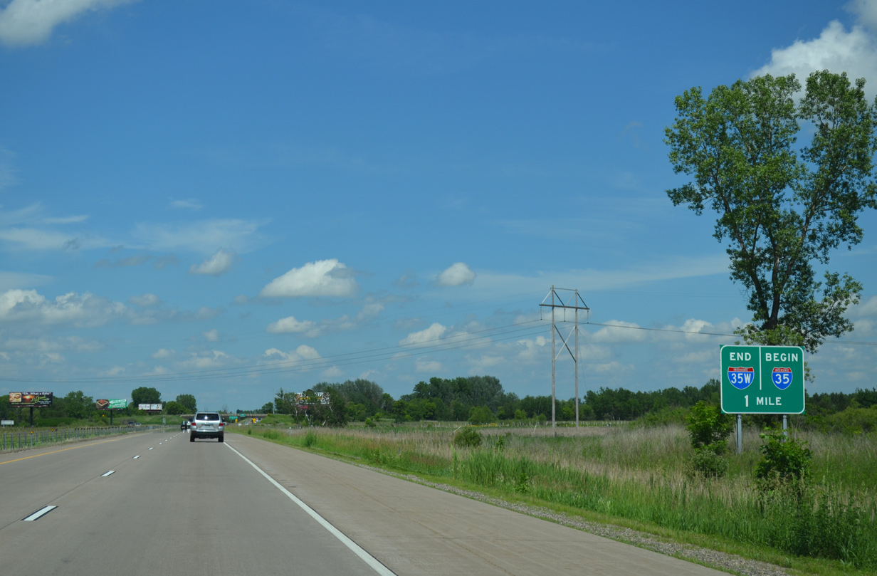
Interstate 35W straddles wetland areas associated with Rice Creek Chain of Lakes Park Reserve on the initial stretch leading away from I-35E. This view looks at the first southbound reassurance marker. 06/15/15
South End ‐ Burnsville, MN
South at
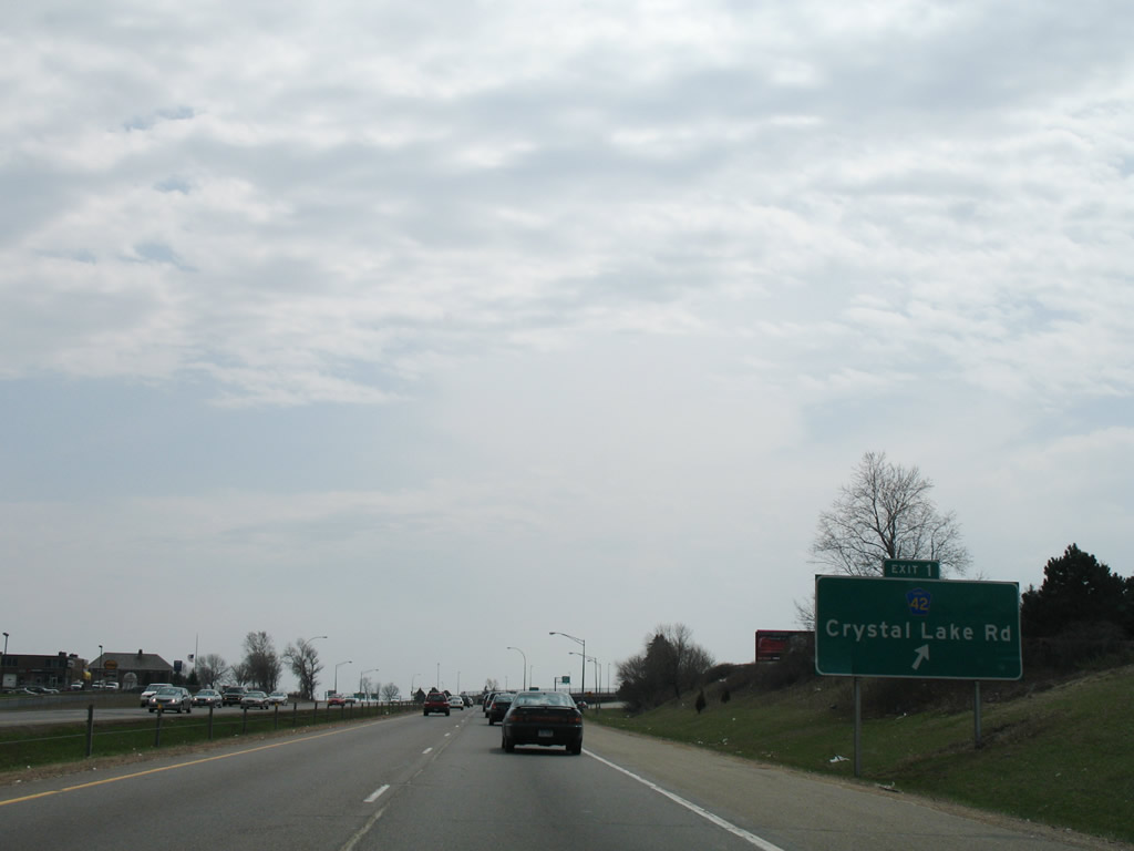
Interstate 35W south at CR 42 (Crystal Lake Road) prior to expansion of the freeway with inside shoulders and widening of Exit 1 to two lanes. 04/21/07
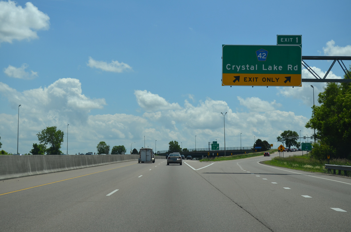
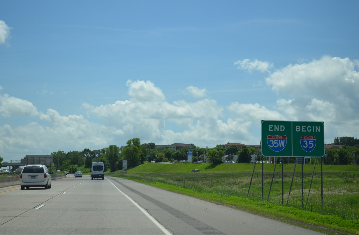
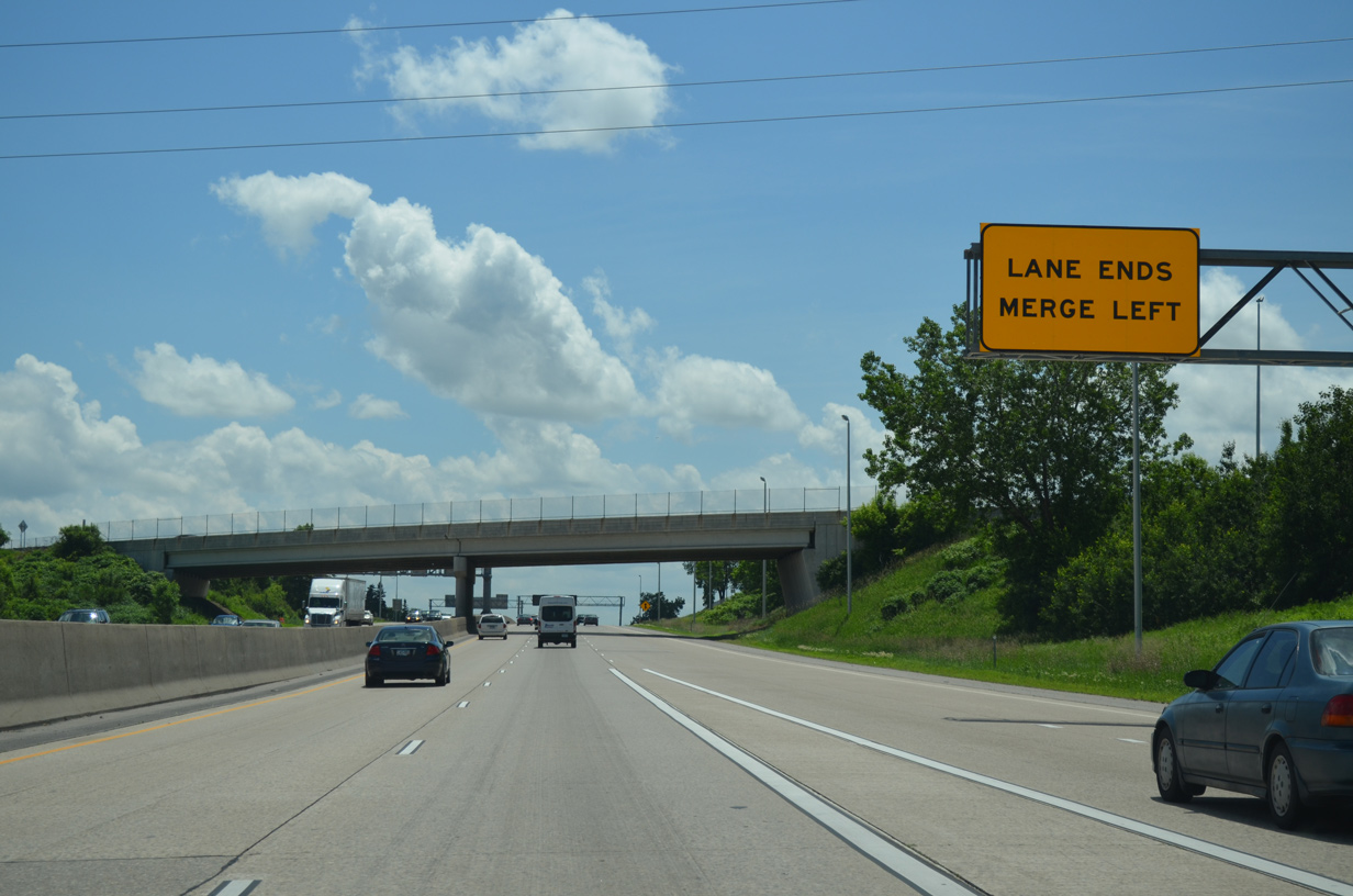
North at
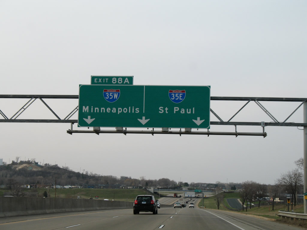
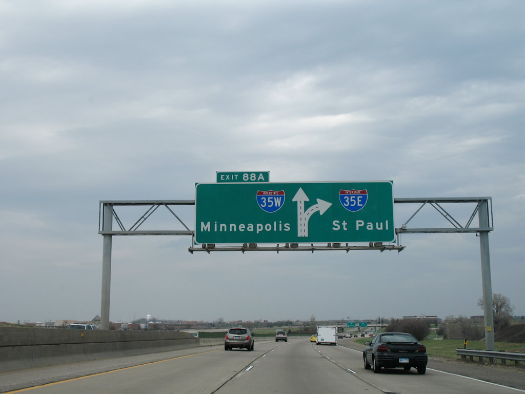
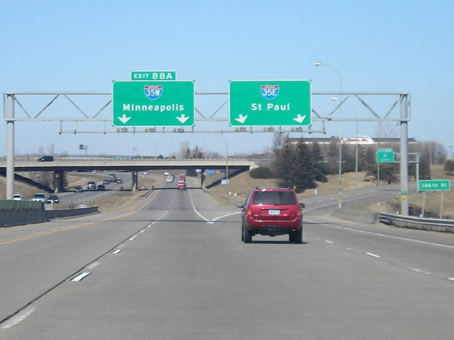
This initial set of overheads for I-35E/I-35W was replaced by 2011, with the Exit 88A tab shifted to the left for I-35W north. A bus-only ramp was added to the freeway northbound here. 04/20/07
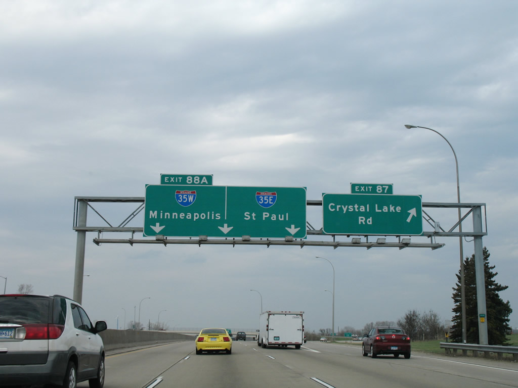
North
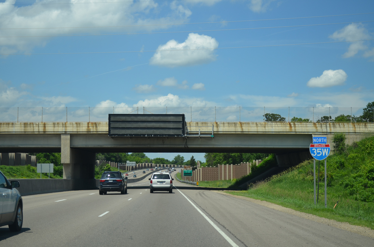
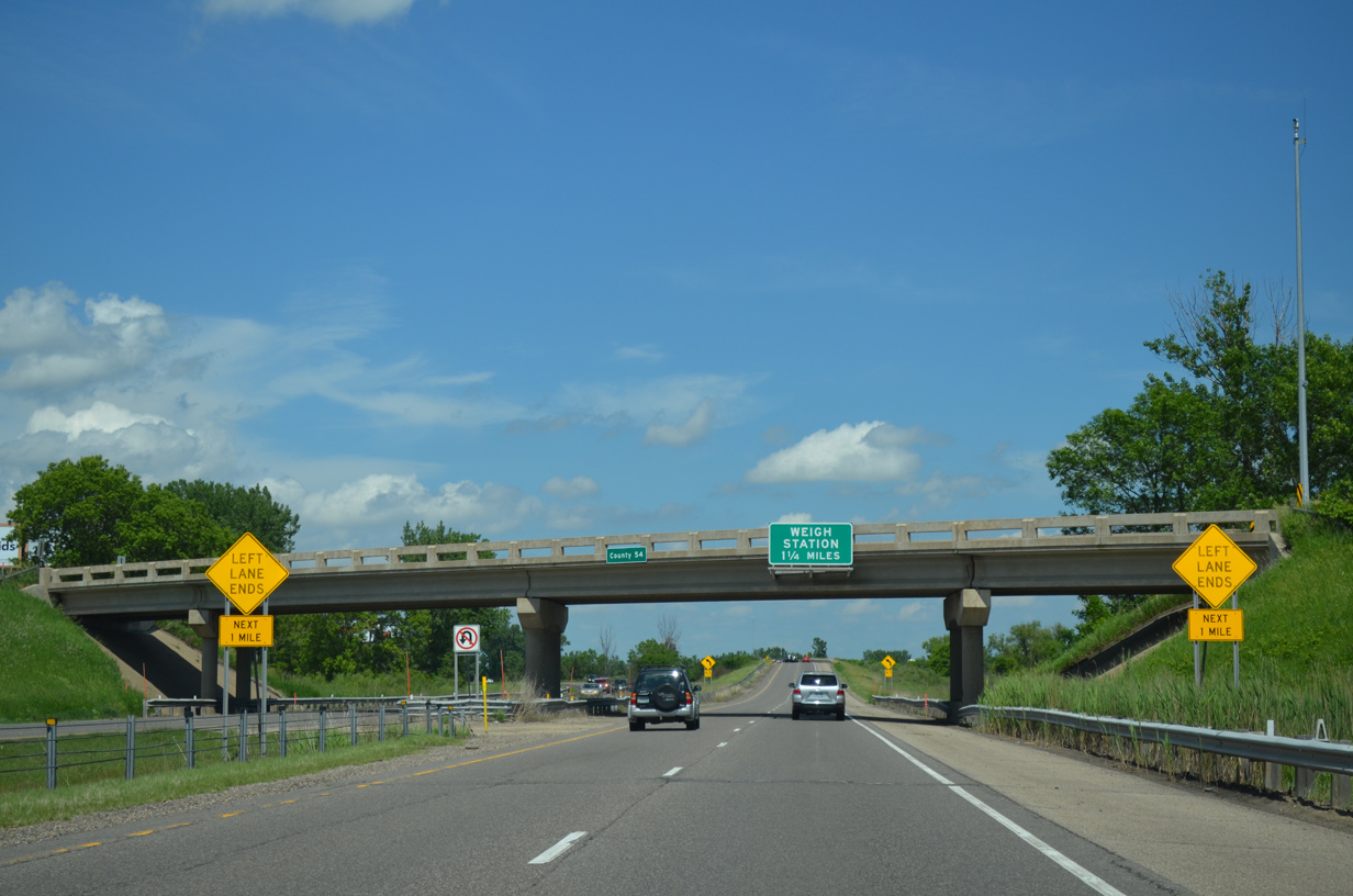
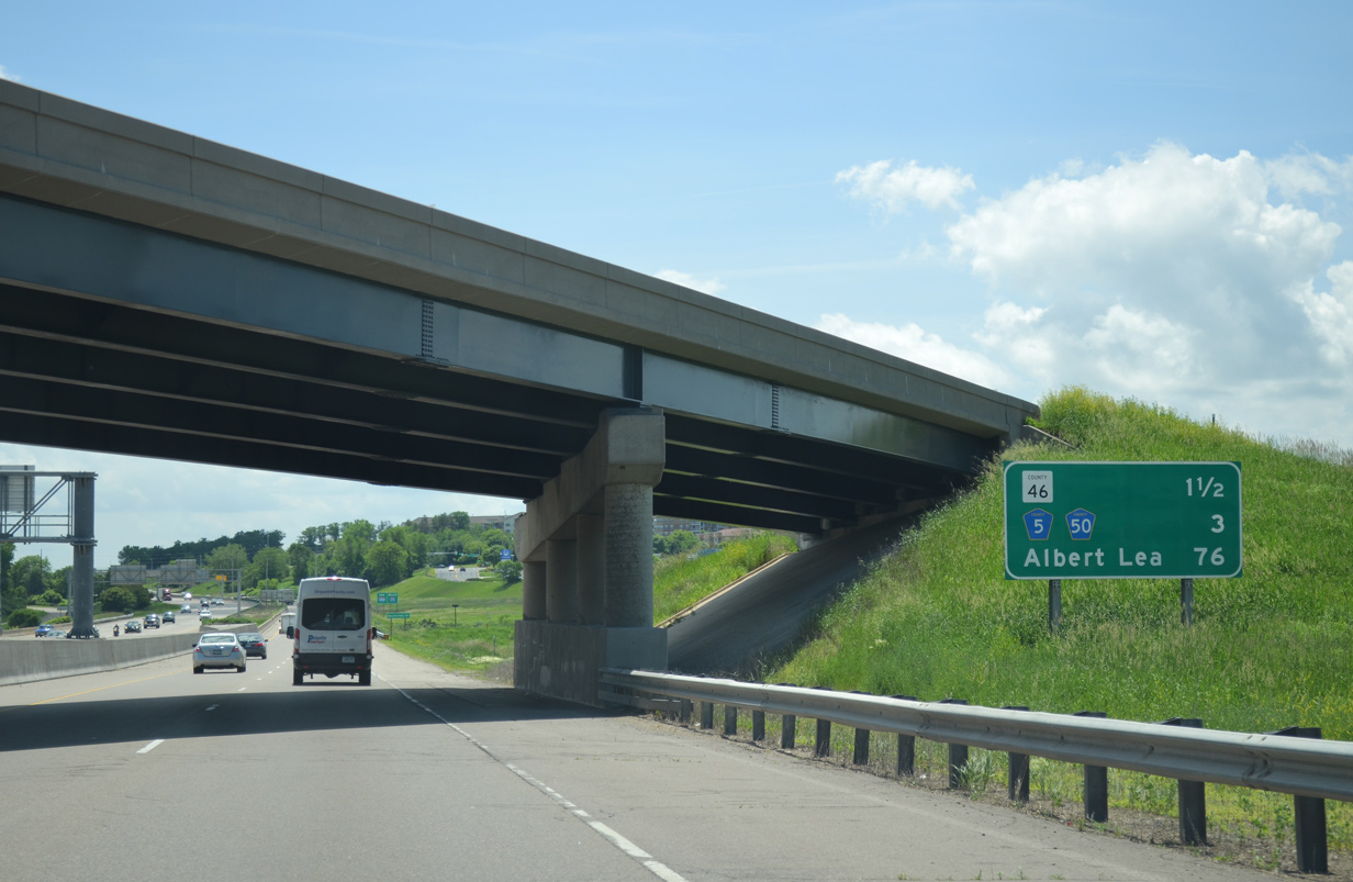
The first shield for Interstate 35W appears at the McAndrews Road over crossing, north of the half diamond interchange with County Road 42. 06/14/15
References
- Interstate 35W Bridge Collapse - Mississippi River Crossing in downtown Minneapolis. Retrieved from http://www.dot.state.mn.us/i35wbridge/index.html