
Interstate 694 Minnesota
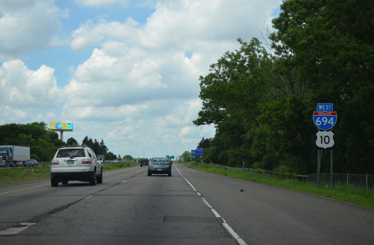
Overview
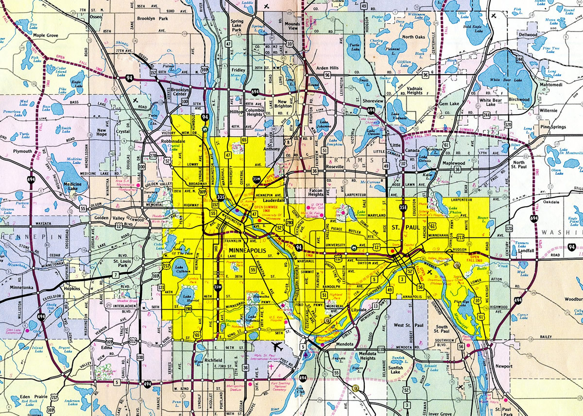
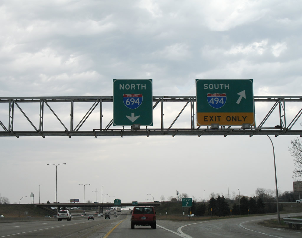
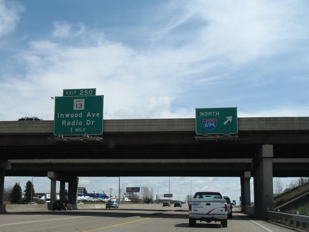
I-494 and Interstate 694 constitute the 72 mile long Minneapolis-St. Paul beltway system: I-494 is the southern portion and I-694 is the northern portion. The westernmost eight miles of I-694 overlap with Interstate 94 between Maple Grove and Brooklyn Center so that both branch routes end at the same location on either side of the metropolitan area. The two belt routes share an exit numbering system, with numbers counting upward in a clockwise direction from the Minnesota River at Bloomington.
Interstate 694 extends for 31 miles serving communities such as Brooklyn Park, Fridley, New Brighton, Shoreview, White Bear Lake and Maplewood. Providing a bypass for I-94 travelers from St. Cloud to Eau Claire, Wisconsin, I-694 also constitutes a commuter freeway across the northern Minneapolis and St. Paul suburbs. This formerly included a short overlap with Interstate 35E at Vadnais Heights.
Mileage by State
| Minnesota | 23.11 mi |
Data Sources
December 31, 2025 Interstate Route Log and Finders List
History
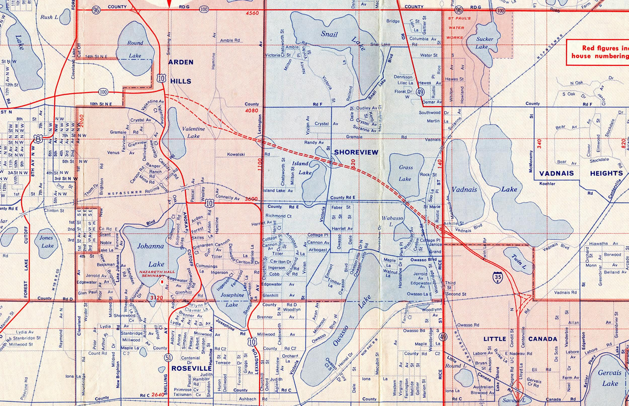
Like I-494 to the south, Interstate 694 to the north of Minneapolis and St. Paul replaced portions of the original Twin Cities belt line route, Minnesota Trunk Highway 100. Prior to the Interstate system, MN 100 comprised a 360 degree loop encircling the metropolitan area along a series of two and four lane surface roads. Sections of the route were directly incorporated into the Interstate system, including I-494 across Bloomington and the Wakota Bridge spanning the Mississippi River. The section of I-694 between Brooklyn Center and then-U.S. 10 (CSAH 76) at Arden Hills also replaced MN 100 directly.
A short segment of I-694 opened to traffic in tandem with I-35E north from Maryland Avenue in St. Paul to Rice Street (former MN 49 / Exit 45) at the Little Canada and Vadnais Heights city line. The section completed in 1961 was extended west to Arden Hills and the old junction of U.S. 10 and MN 100 the following year.
Construction lengthened I-694 west another mile to U.S. 8 (now Old Highway 8) in 1964. Openings in 1965 took I-694 west across the Mississippi River to the concurrent section with I-94 to Exit 31 with CSAH 81 (Bottineau Boulevard) at Brooklyn Center.1
Opening in 1969 was the section from I-94/494 north to MN 36 at Pine Springs and the stretch from I-494 at Maple Grove east to CSAH 81. Completion of the mainline followed from the overlap with I-35E to MN 36 in 1970. Upgrades to the interchange complex at MN 100 and I-94 in Brooklyn Park were completed in 1982 as Interstate 94 opened southward to Dowling Avenue (Exit 228).1
The "Unweave the Weave" project improved the 0.65 mile long overlap with Interstate 35E at Vadnais Heights and Little Canada. Initial work on the $86 million project in 2004 constructed a new Edgerton Street bridge across I-35E/694. Major construction followed in 2006. I-35E was expanded then to six overall lanes on the 3.2 mile stretch between MN 36 and County Road E. Reconstruction of I-694 also brought the freeway to six lanes from CR 45 to U.S. 61. Where Interstate 35E previously utilized left exit ramps at each end of the common section with I-694, realignments were made to minimize weaving traffic patterns. Crews completed most work by late August 2008 with the installation of sound walls and the building of stormwater holding ponds. A median barrier was added by mid October to wrap up the project.2
Further west, the I-694 North Central project reconstructed the freeway at the common section with U.S. 10 in the city of Arden Hills. Work beginning in Fall 2011 redesigned the interchange joining Interstate 694, U.S. 10 and Hamline Avenue. New roadways were added for I-694 to separate traffic from U.S. 10 while the old alignment was reconfigured into collector distributor roads for the expressway leading U.S. 10 north and Snelling Avenue south. Left exit ramps from Hamline and Snelling Avenues to I-694 were also eliminated. This work was completed in November 2013.3
East End 

 ‐ Oakdale, MN
 South at
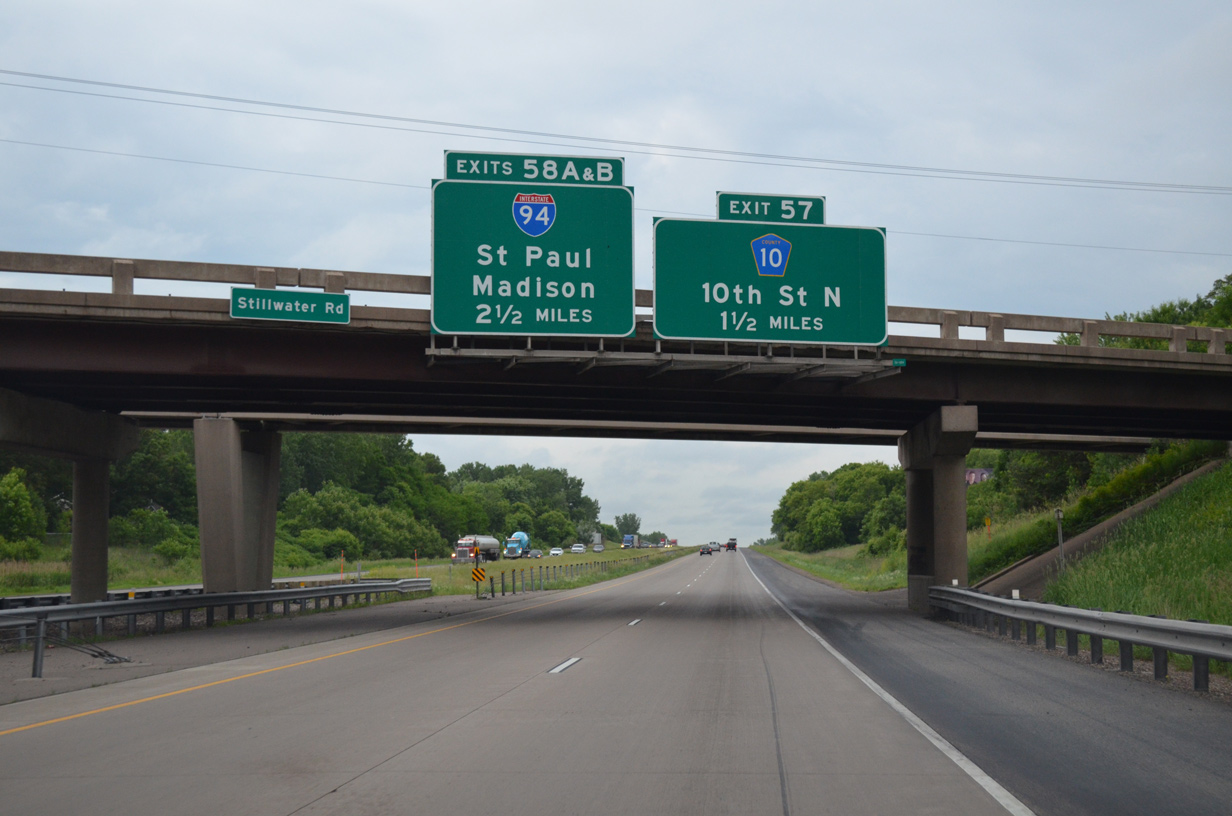
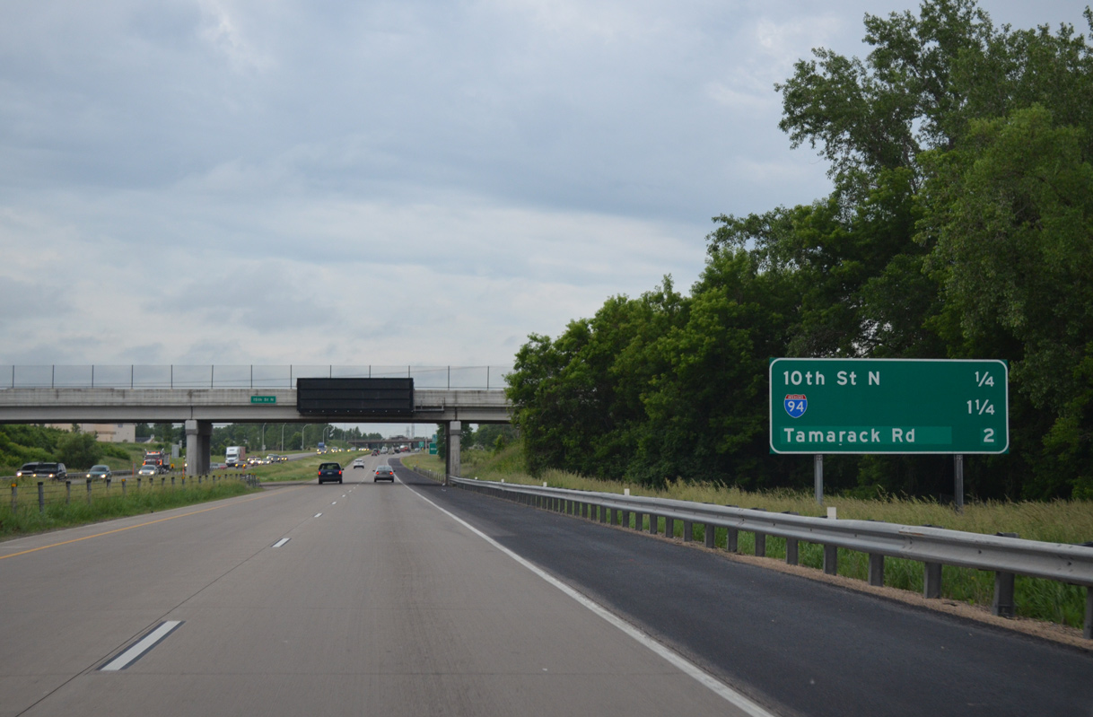
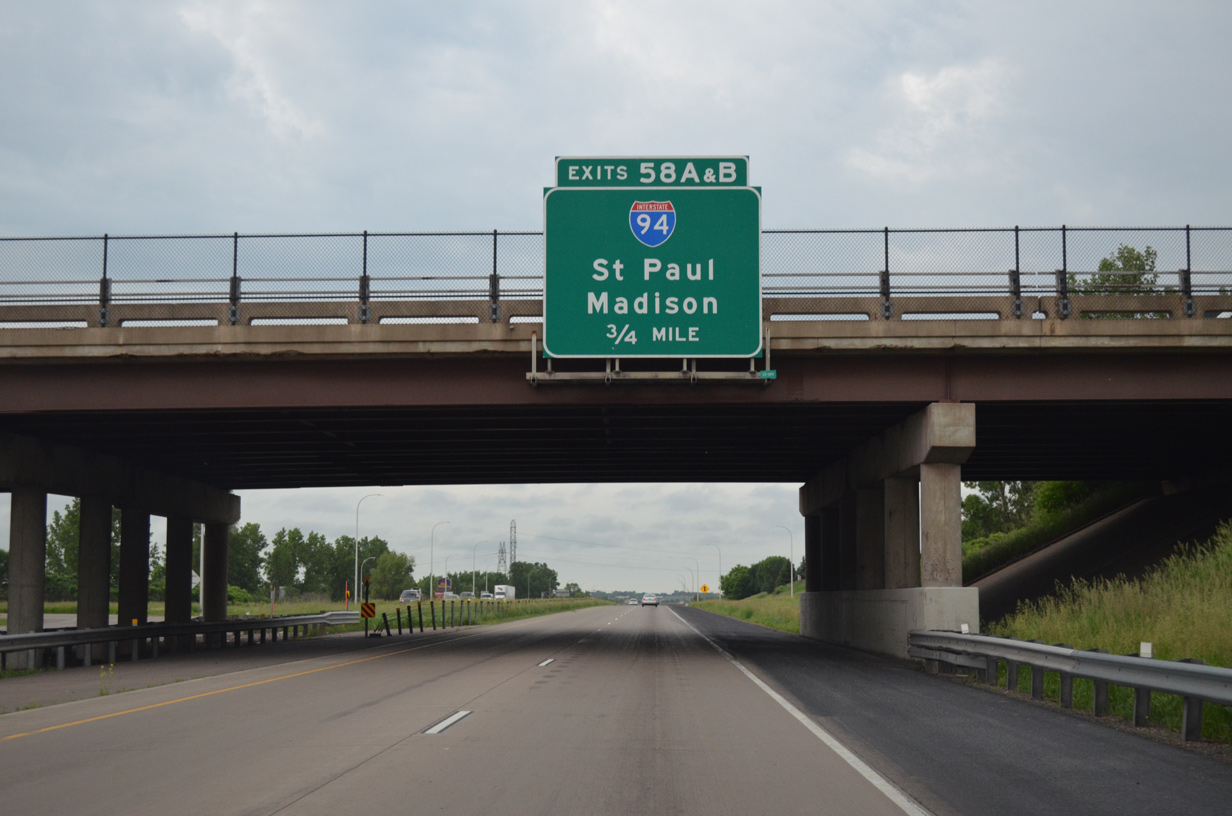
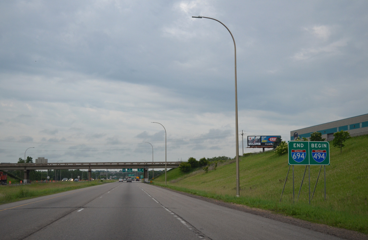
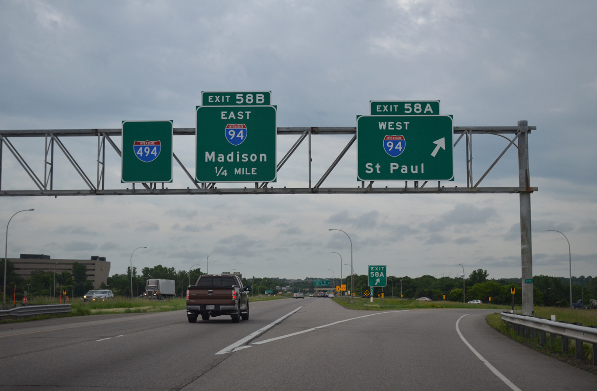
Passing under the Stillwater Boulevard overpass, I-694 advances south with four overall lanes to Exit 57 for CSAH 10 (10th Street N). The I-94 East Metro Interchange project underway from 2019 to Fall 2020 added an auxiliary lane along I-694 south from 10th Street N to the exchange with I-94/U.S. 12.4 06/15/15
North at
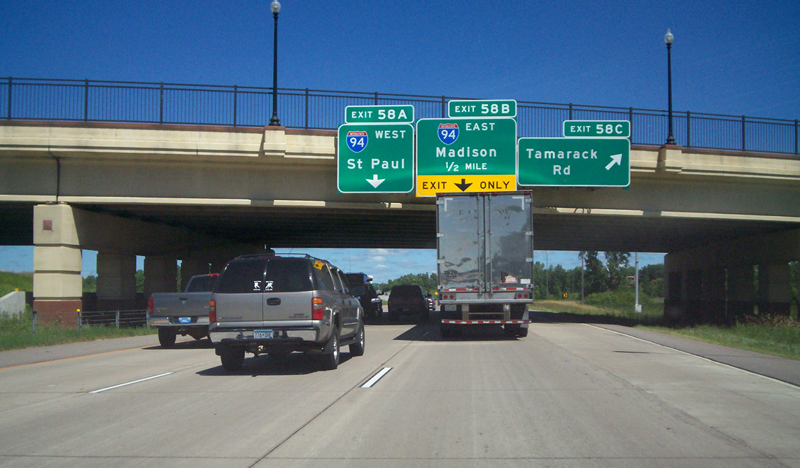
Interstate 494 meets Tamarack Road (Exit 58C) at the third Woodbury exit northbound leading to I-94/694. Madison, Wisconsin is the control point for I-94 east in lieu of Eau Claire. Photo by Chris Lokken, Amber Lokken and Mike Saldiva (07/23/13).
West at
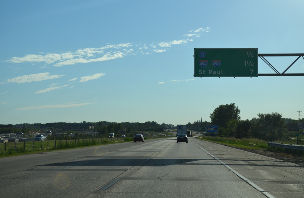
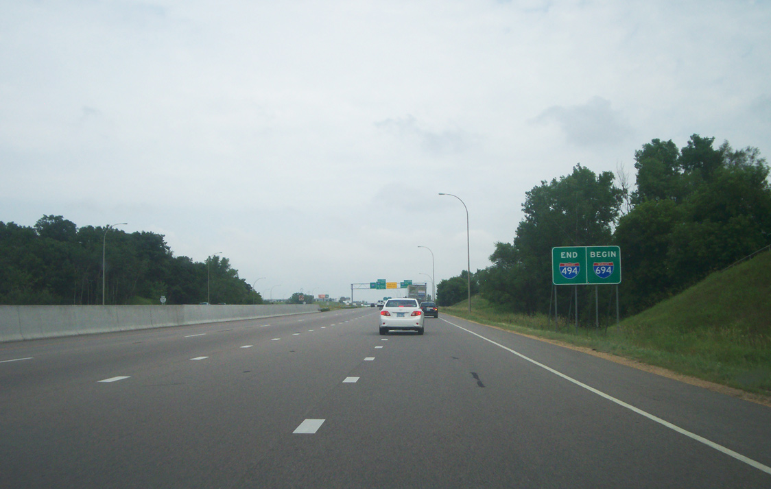
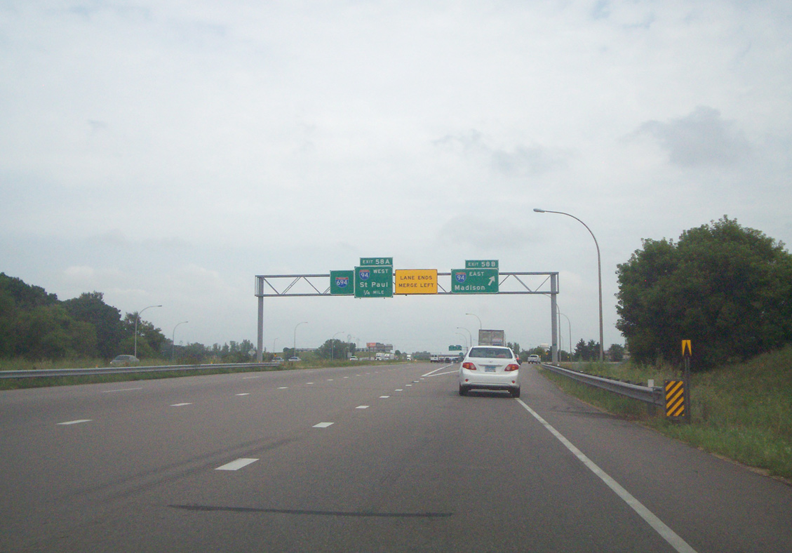
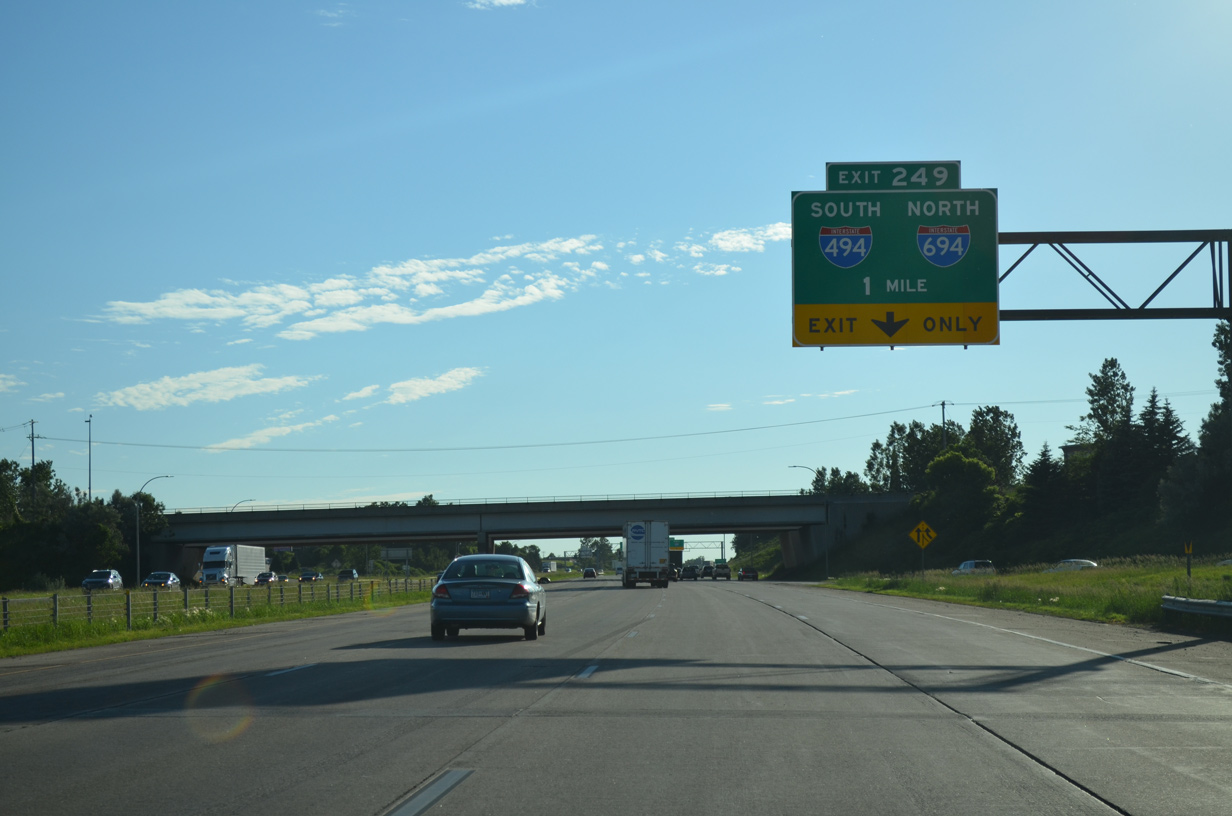
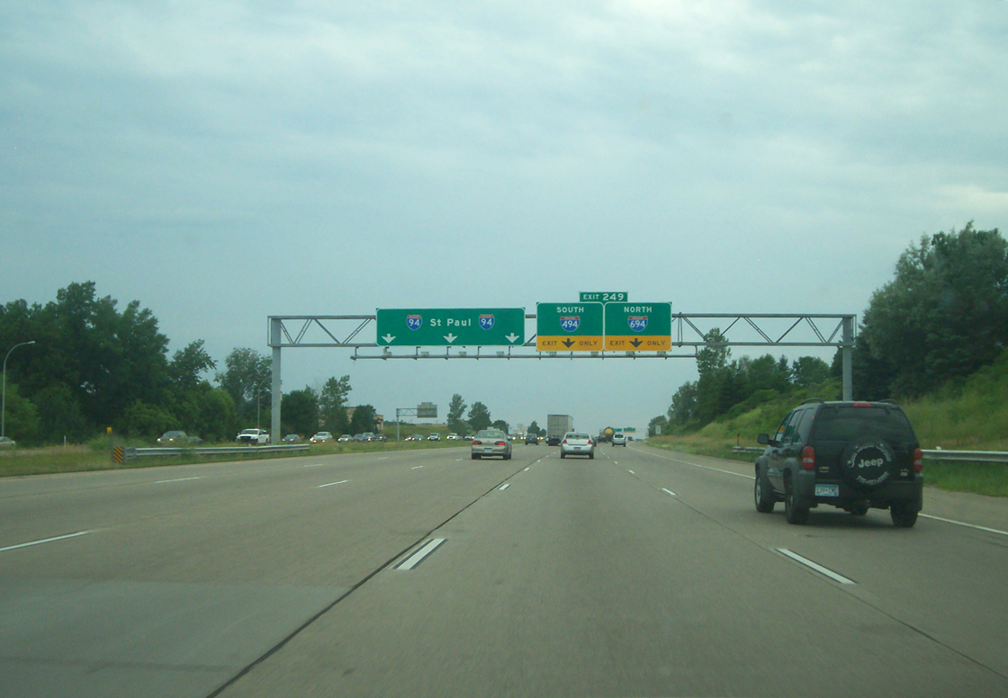
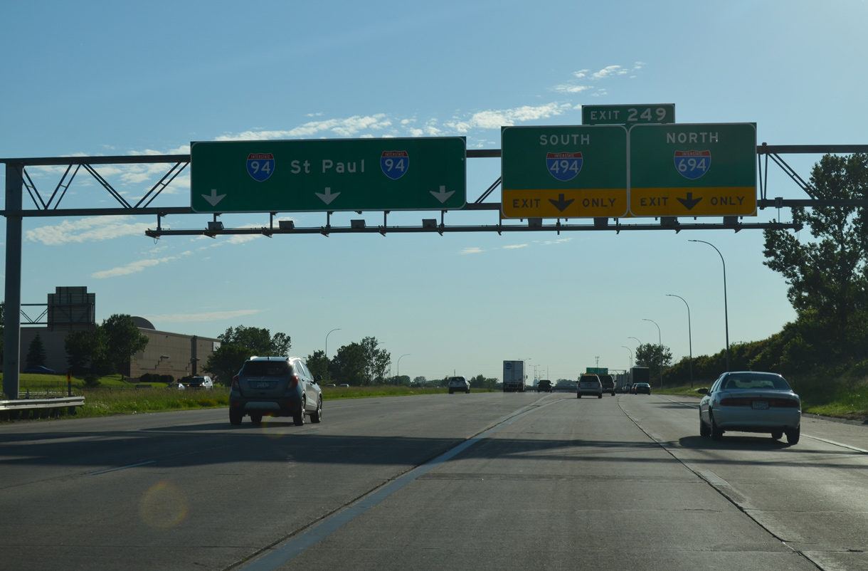
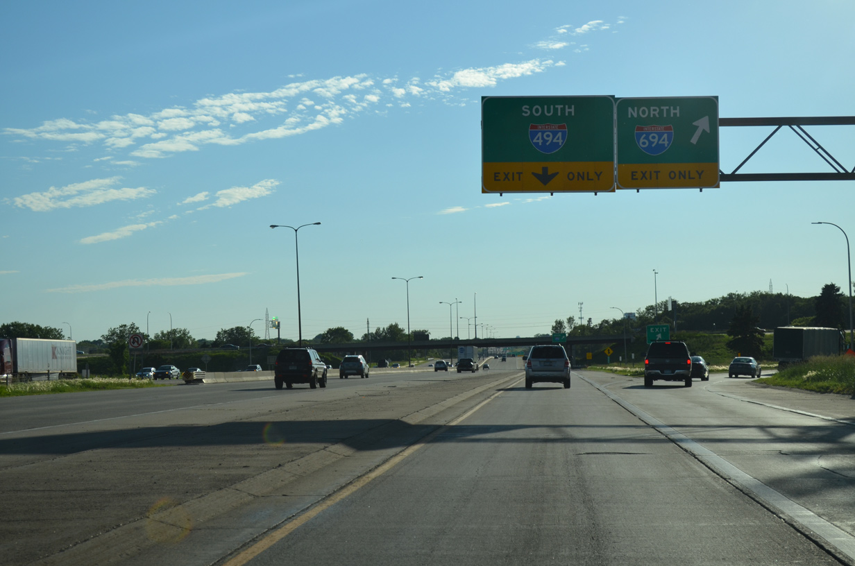
Traveling west along the Lake Elmo and Woodbury city line, I-94/U.S. 12 advance 1.5 miles west to the cloverleaf interchange with I-494/694. 06/15/15
East at
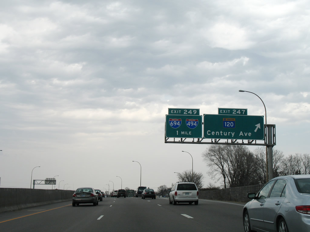
I-94/U.S. 12 enter Washington County and the city of Woodbury at the exchange with MN 120 (Century Avenue), one mile from I-494/694. 04/21/07
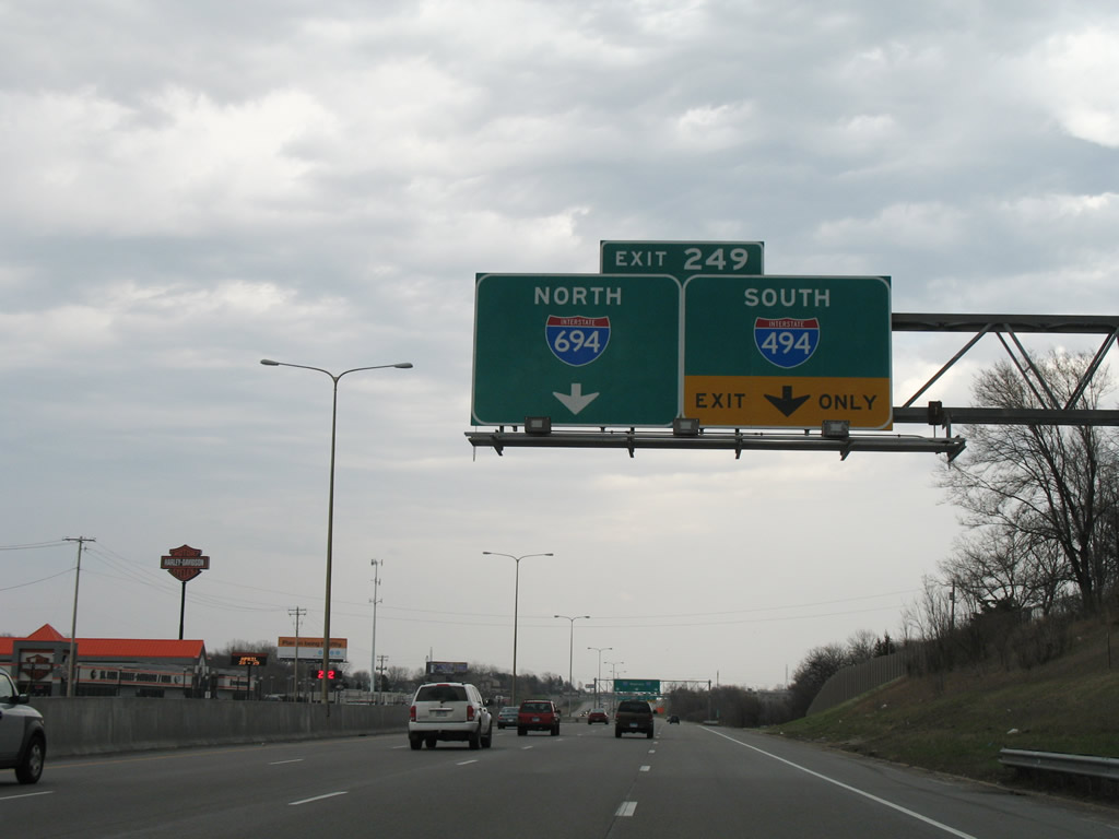
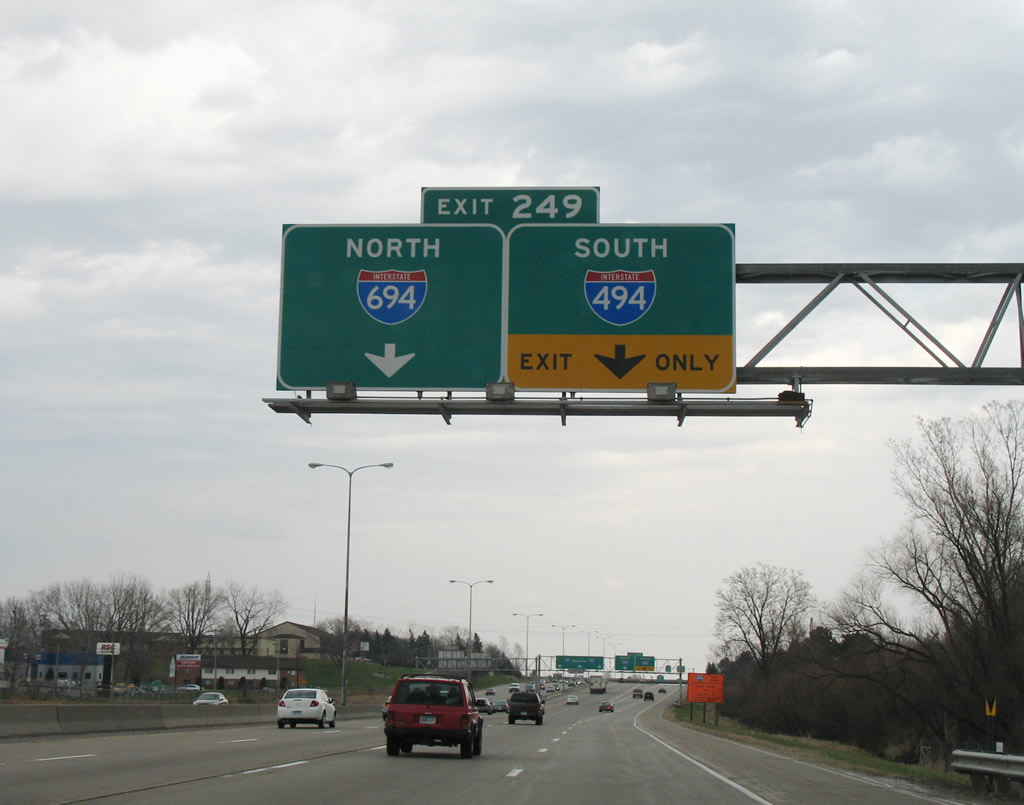
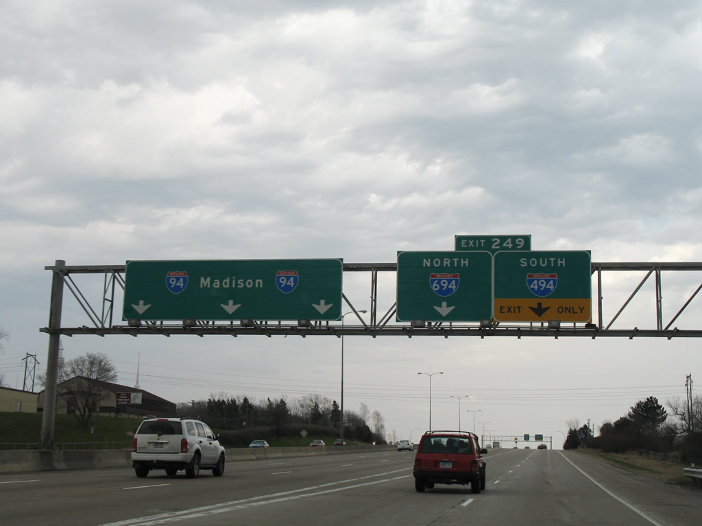
West End ‐ Maple Grove, MN
 West at
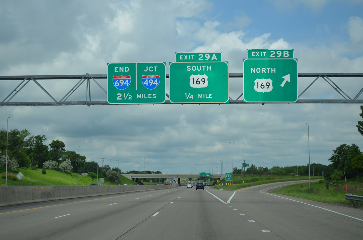
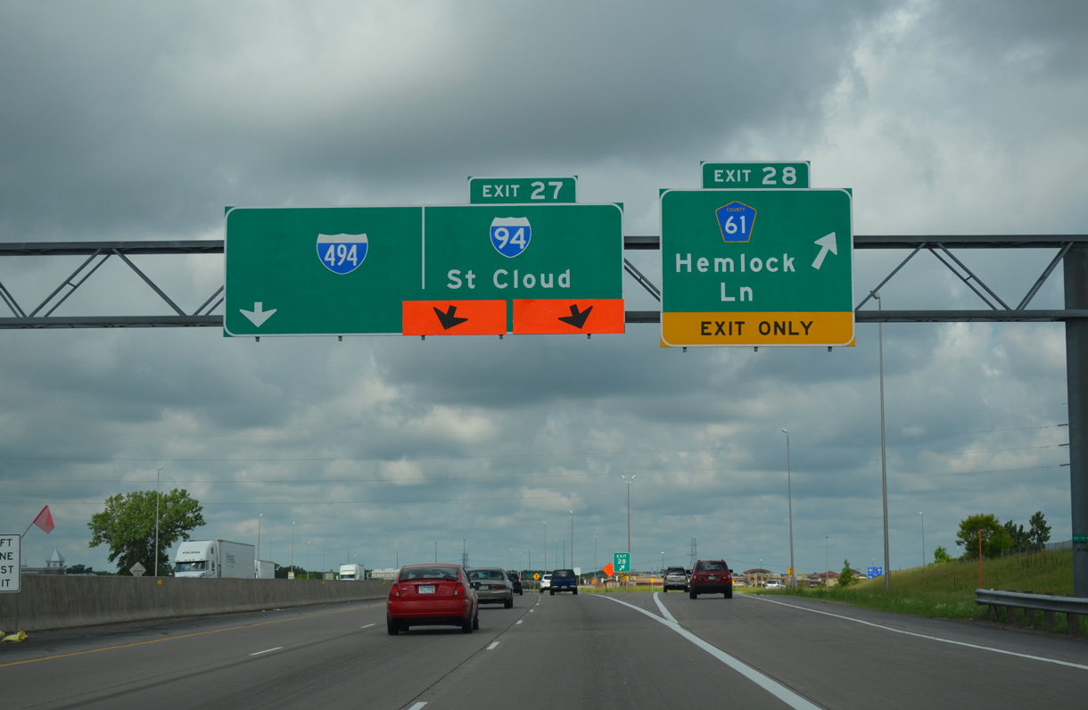
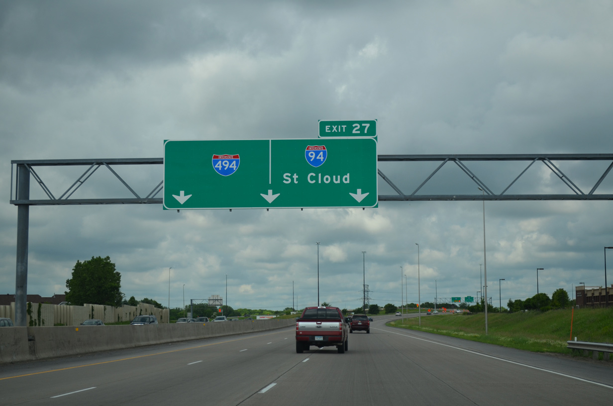
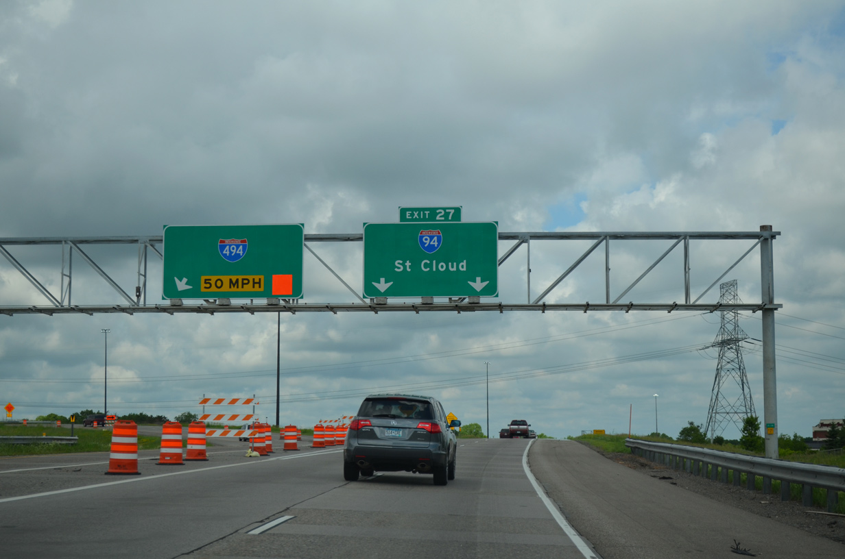
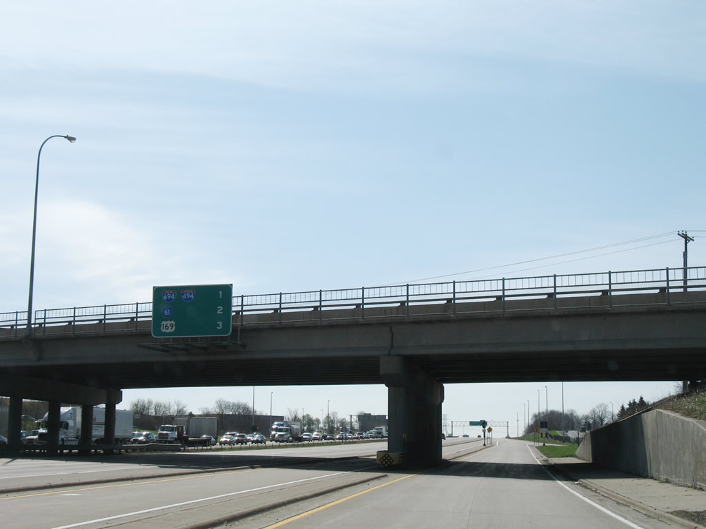
An end sign for I-694 west appears along I-94 at the cloverleaf interchange (Exits 29 B/A) with U.S. 169. U.S. 169 comprises a major freeway leading north to Brooklyn Park and south to New Hope and Plymouth. 06/14/15
East at
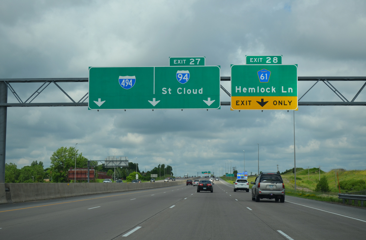
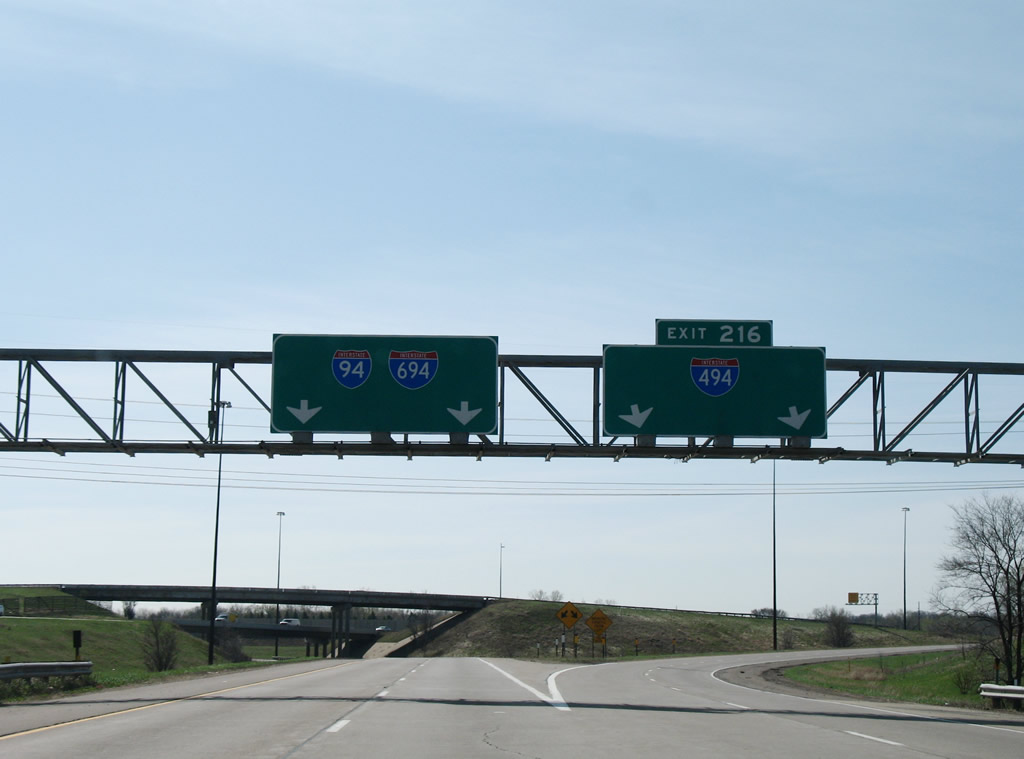
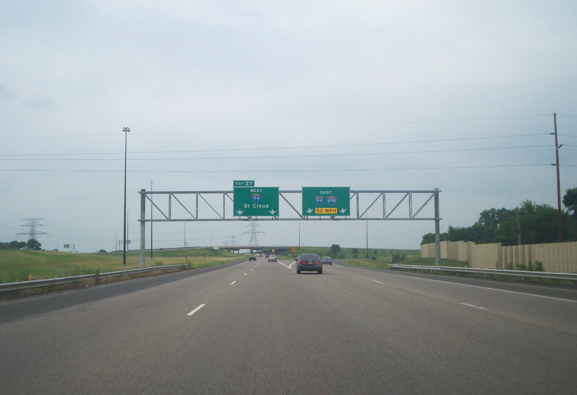
I-94 angles southeast between residential areas along Fish Lake and the retail corridor along Elm Creek Boulevard to the three-wye interchange (Exit 216) with the Twin Cities belt line. 04/23/07
North at
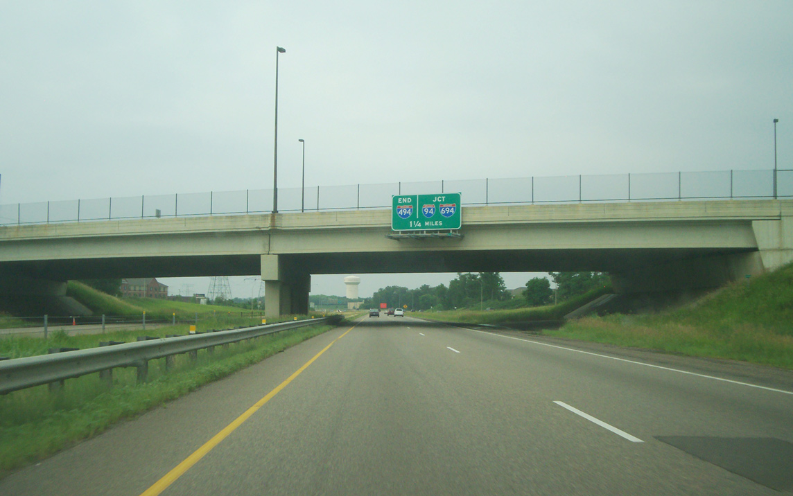
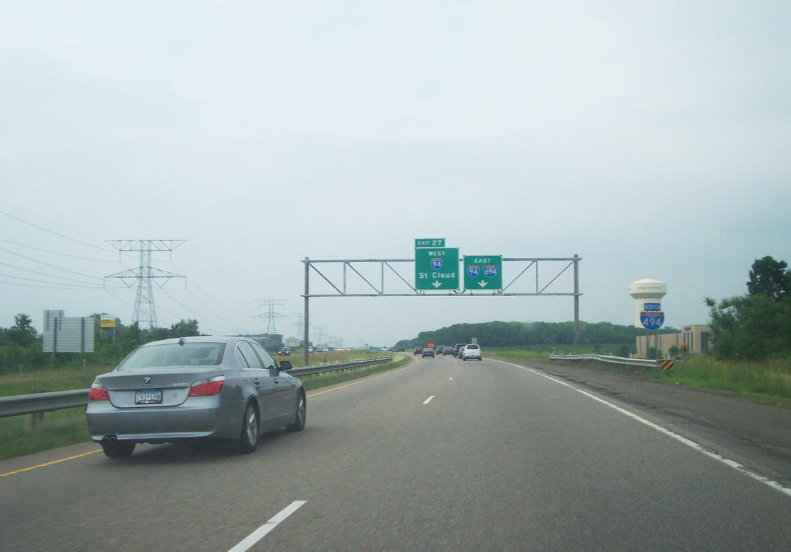
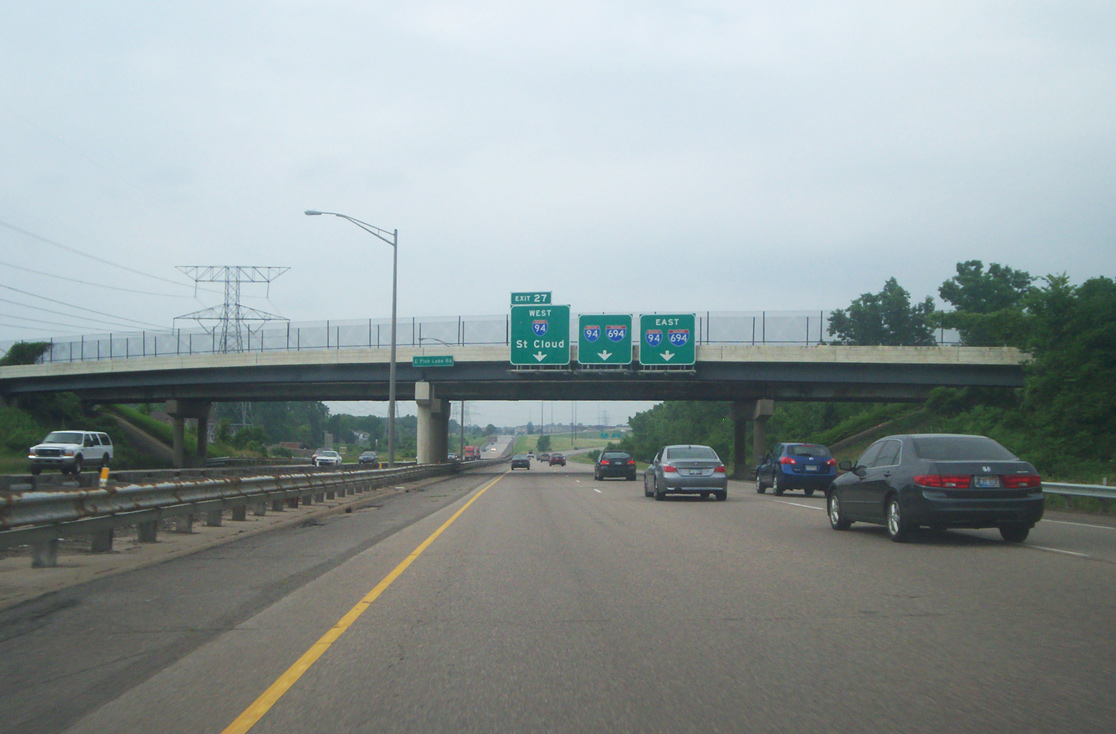
Similar to signage found along I-94/694 west, an end sign for I-494 north precedes the exchange joining the three routes at Maple Grove. Photo by Chris and Amber Lokken (07/16/11).
References
- Froehlig, A. (2004, May 31). Twin Cities Interstate System. Retrieved from http://www.ajfroggie.com/roads/minnesota/interstate/index.html
- Minnesota Department of Transportation (MnDOT). Unweave the Weave. Retrieved from https://web.archive.org/web/20080916202727/http://www.dot.state.mn.us/metro/projects/unweave/
- Minnesota Department of Transportation (MnDOT). I-694 North Central. Retrieved from http://www.dot.state.mn.us/metro/projects/694expand/index.html
- Minnesota Department of Transportation (MnDOT). I-94 East Metro Interchange. Retrieved from https://www.dot.state.mn.us/ metro/projects/i94-494-694/