
Interstate 710 California
Overview
Interstate 710 connects Terminal Island and the city of Long Beach with East Los Angeles along the Long Beach Freeway. Carrying a substantial freight traffic, I-710 initially heads east from the Port of Long Beach across the Gerald Desmond Bridge toward Downtown Long Beach. Paralleling the Los Angeles River, the freeway travels north to Compton, Paramount, Lynnwood, South Gate and Downey.
Diverging with the culverted river, the Long Beach Freeway extends north through Commerce to I-5 (Golden State Freeway), and unincorporated East Los Angeles ahead of SR 60 (Pomona Freeway) and I-10 (San Bernardino Freeway). Interstate 710 spurs north to Valley Boulevard between the Los Angeles and Alhambra city line. The continuation of I-710 north remains unbuilt.
A short section of freeway spurs south from the exchange joining I-210 (Foothill Freeway) with SR 134 (Ventura Freeway) in the city of Pasadena. Designed as SR 710, but not signed in the field, the 1.75 mile long route represents the planned northernmost extent of the Long Beach Freeway. Postmiles for SR 710 (30.953 to 32.709) originate at Columbia Street and conclude at I-210.
Long Beach
Heading south from California State Route 1 (Pacific Coast Highway) in Long Beach, Interstate 710 splits into three separate spurs. These spurs are identified in the California Streets and Highways Code as follows:
Section 622. Route 710 is from Route 1 to Route 210 in Pasadena.
Section 622.1. (a) Route 710 shall also include that portion of the freeway between Route 1 and the northern end of Harbor Scenic Drive, that portion of Harbor Scenic Drive to Ocean Boulevard, that portion of Ocean Boulevard west of its intersection with Harbor Scenic Drive to its junction with Seaside Boulevard, and that portion of Seaside Boulevard from the junction with Ocean Boulevard to Route 47.
Based on this legislation, the first connection of Route 710 leads southeast from Exit 1 C into Downtown Long Beach via Shoreline Boulevard. The second spur extends south from Exit 1 A along the west bank of the Los Angeles River to the Queen Mary, a major attraction in Long Beach. The third spur is the I-710 mainline across the Gerald Desmond Bridge onto Terminal Island.
California Department of Transportation (Caltrans) Postmiles for Route 710 start at the ramps joining the Seaside Freeway (SR 47), Terminal Island Freeway (SR 47/103) and the Gerald Desmond Bridge (I-710). The legs south to Harbor Island and east to Downtown Long Beach are not included in the Postmile system. Route 710 north to Valley Boulevard is 24.021 miles per Caltrans Postmiles. The FHWA Route Long and Finder List however attributes only 19.66 miles for Interstate 710, between SR 1 in Long Beach and I-10 at East Los Angeles.
Mileage by State
| California | 19.59 mi |
Data Sources
December 31, 2025 Interstate Route Log and Finders List
Gerald Desmond Bridge Replacement
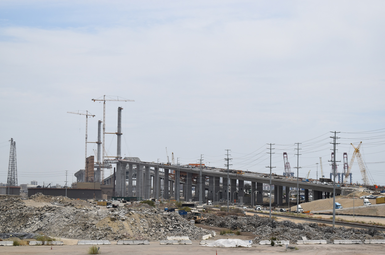
The original through arch bridge spanning the Back Channel on Terminal Island was constructed in the 1960s. The Gerald Desmond Bridge Replacement project constructed a cabled stayed bridge spanning the waterway with a 205 foot vertical clearance. Supported by two 515 foot high towers, the bridge accommodates six lanes of traffic, the Mark Bixby Memorial Bicycle and Pedestrian Path, and three scenic overlooks. The span opened to traffic on October 5, 2020.
High Priority Corridor
I-710 from the Port of Long Beach north to California State Route 60 is part of High Priority Corridor 46: Interstate 710.
History
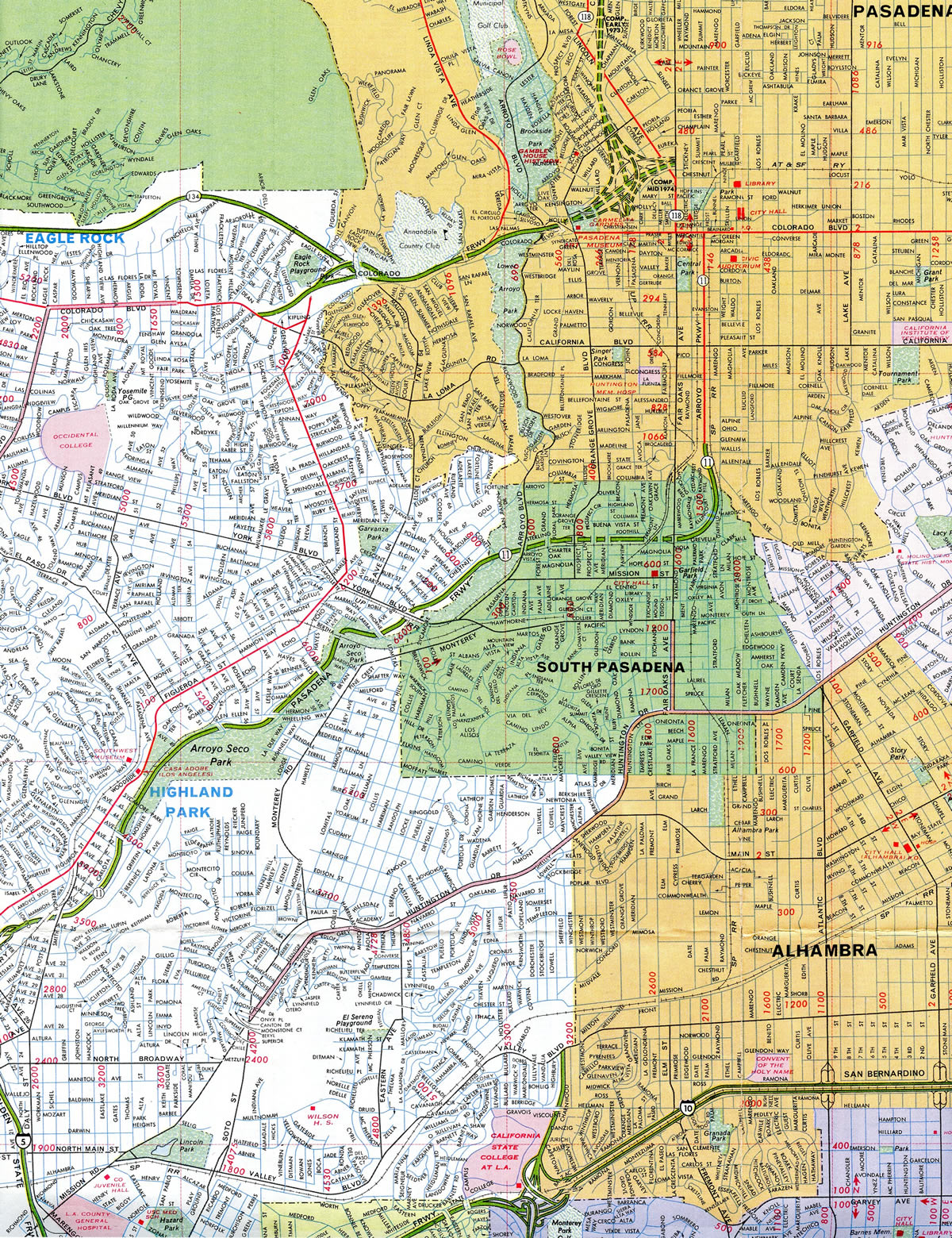
The Long Beach Freeway was added to the Interstate Highway System in 1984 to replace SR 7. SR 7 previously replaced SR 15 along the same freeway. I-710 was added after Interstate 110 replaced SR 11 along the parallel Harbor Freeway to the west in 1981. The freeway was planned to link Long Beach with Interstate 210 in Pasadena, but high costs and vehement community opposition prevented the ultimate build out.
Canceled I-710 Extension - Pasadena
The long proposed extension of Interstate 710 north from the half diamond interchange with Valley Boulevard to the stub end of unsigned SR 710 in Pasadena was formally dropped by the Metropolitan Transportation Authority (MTC) on May 25, 2017.1 Prepared in 2015, the final environmental report examined four alternatives, including building single or twin bore tunnels.2
The 4.5 mile long section of the Long Beach Freeway through South Pasadena and Pasadena was first considered in the 1940s/1950s. The freeway opened south from Valley Boulevard in 1965. With the first lawsuits filed in 1973 after new federal environmental legislation was enacted, the ensuing section north through South Pasadena was mired in controversy.2
Despite continued opposition, lawsuits and the requirement of additional environmental studies, the planned alignment of I-710 north to Pasadena persevered for several decades. The project received a record of decision from the Federal Highway Administration (FHWA) in April 1998. It was met with opposition from the city of South Pasadena, environmental groups such as the Friends of the Earth, local community leaders, and residents potentially impacted by the project.
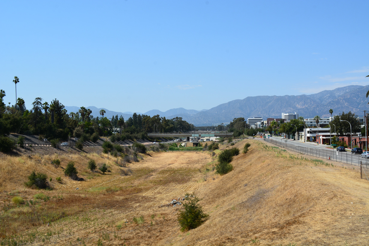
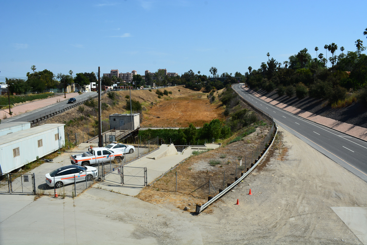
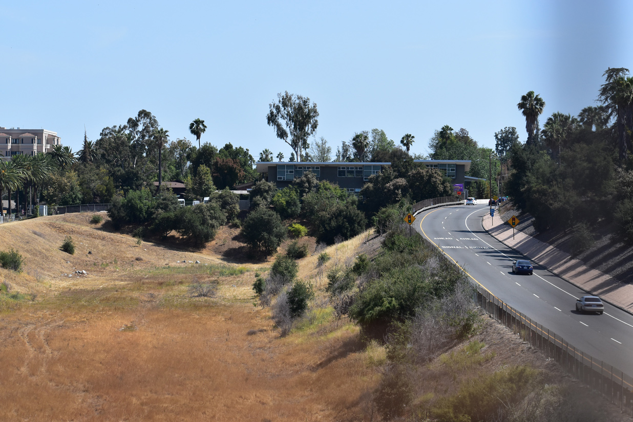
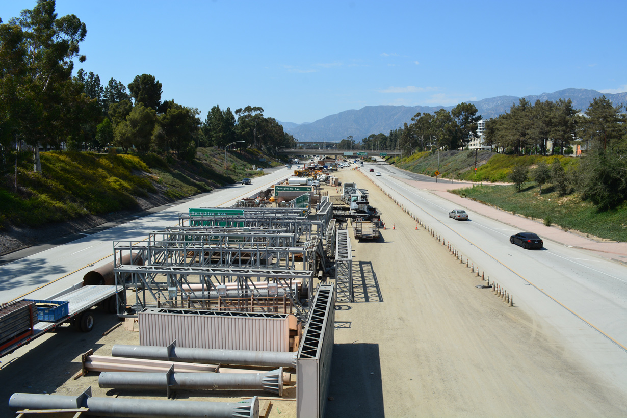
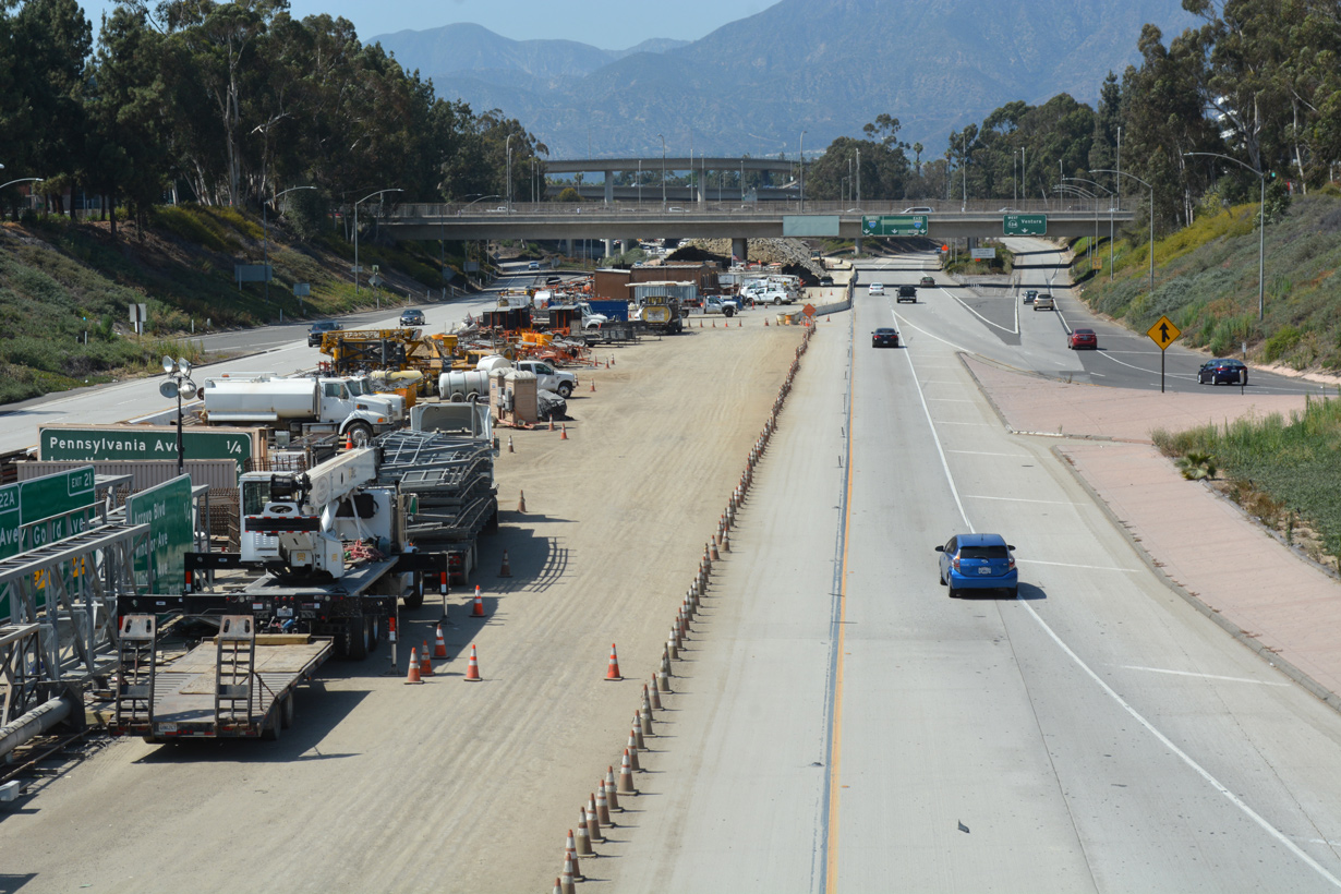
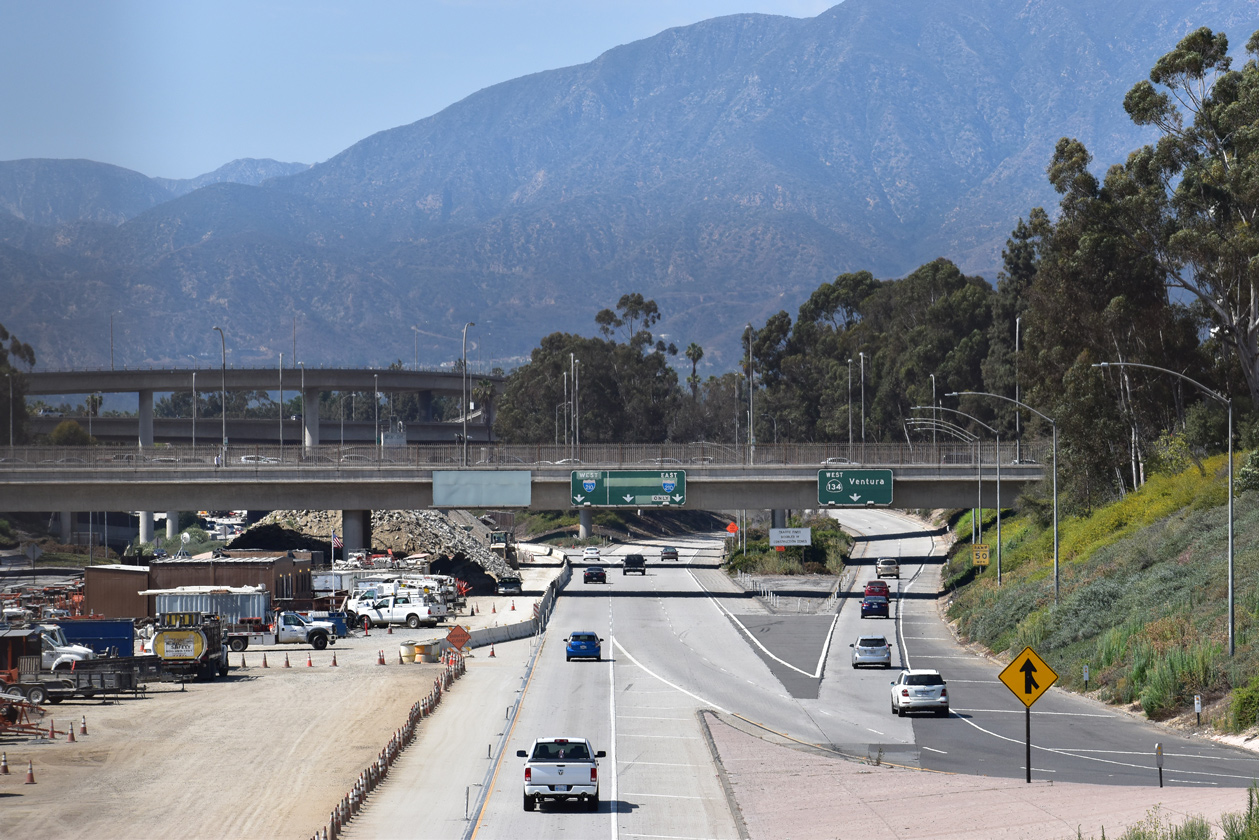
The FHWA required that Caltrans produce another Environmental Impact Statement in December 2003. The succeeding study would evaluate additional impacts of the freeway that were not previously been addressed. Subsequently, the environmental clearance for the route was rescinded by Caltrans in April 2004.
The original plan called Interstate 710 to be built as a below grade freeway, similar to the SR 210 extension in eastern Los Angeles and western San Bernardino Counties. Options also considered adding cut and cover tunnels, or constructing a longer tolled tunnel. Scenarios still involved the removal of several homes, some of which were already owned by Caltrans and are rented out. Despite the high costs of constructing a tunnel system along the proposed route, some believed that it would still not mitigate the impact to the communities.
For more on the Interstate 710 extension, please refer to the following webpages:
- California Highways (www.cahighways.org): Route 710
- Urban Freeway Renewal. Public Roads, Nov/Dec 1998.
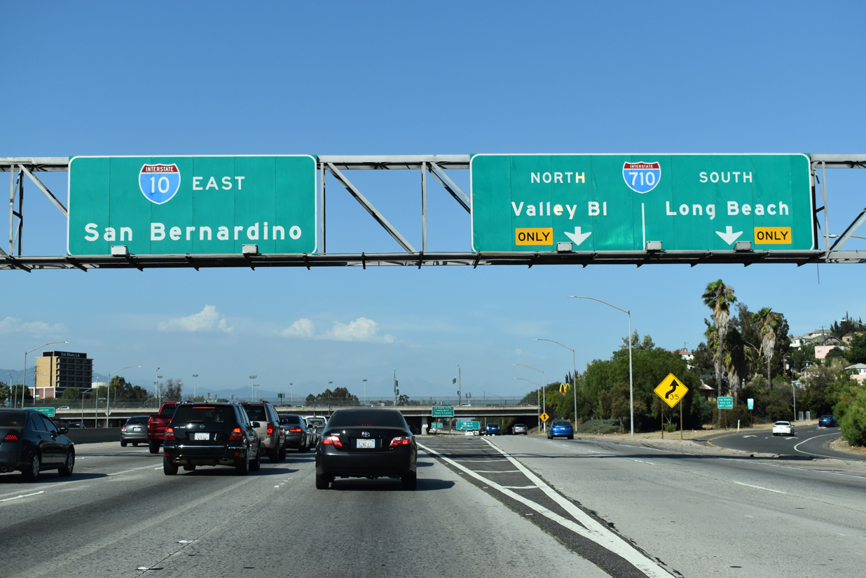
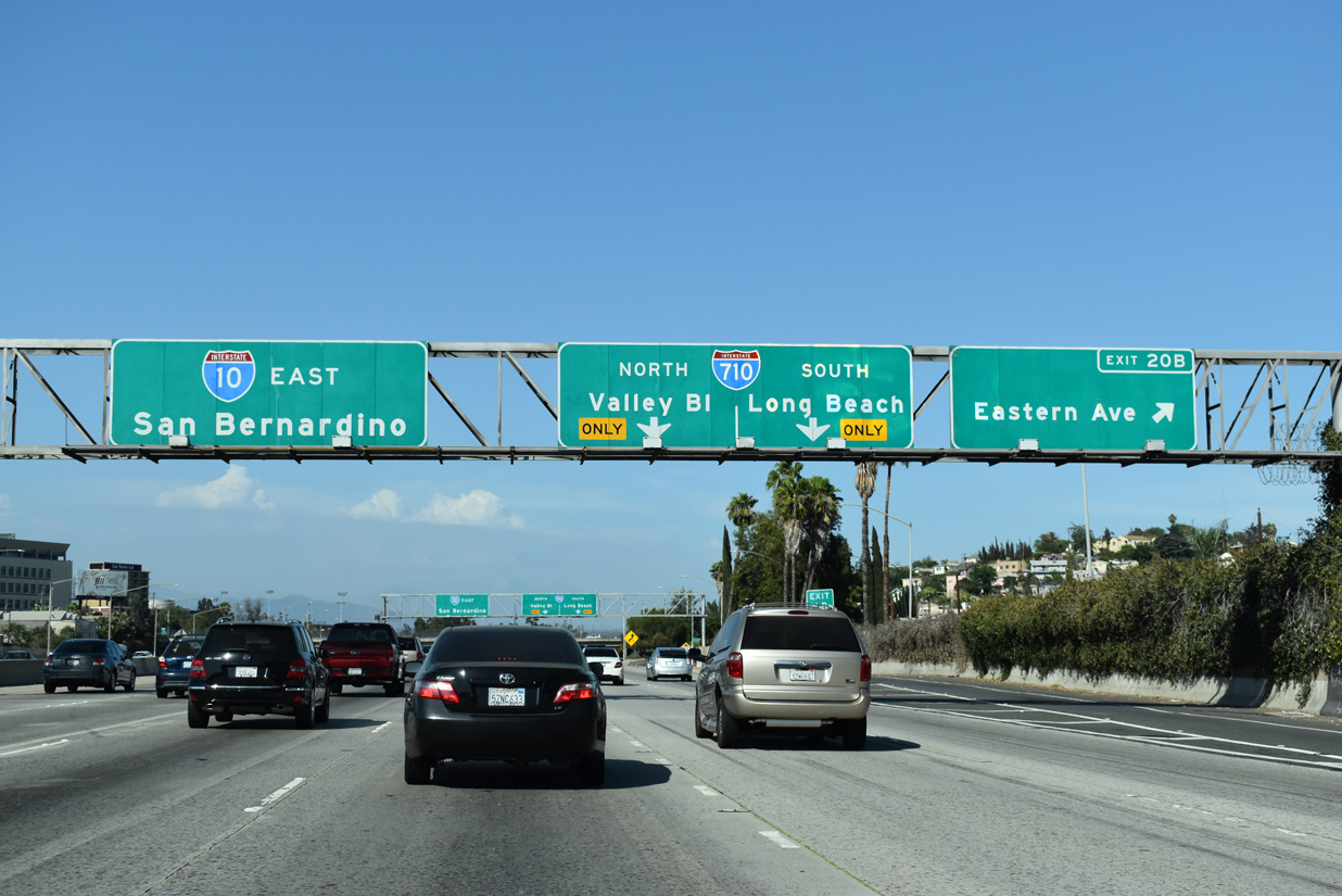
North End  ‐ Valley Boulevard – Alhambra, CA
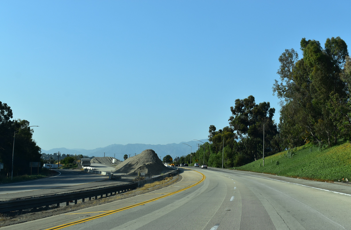
 North at Valley Blvd
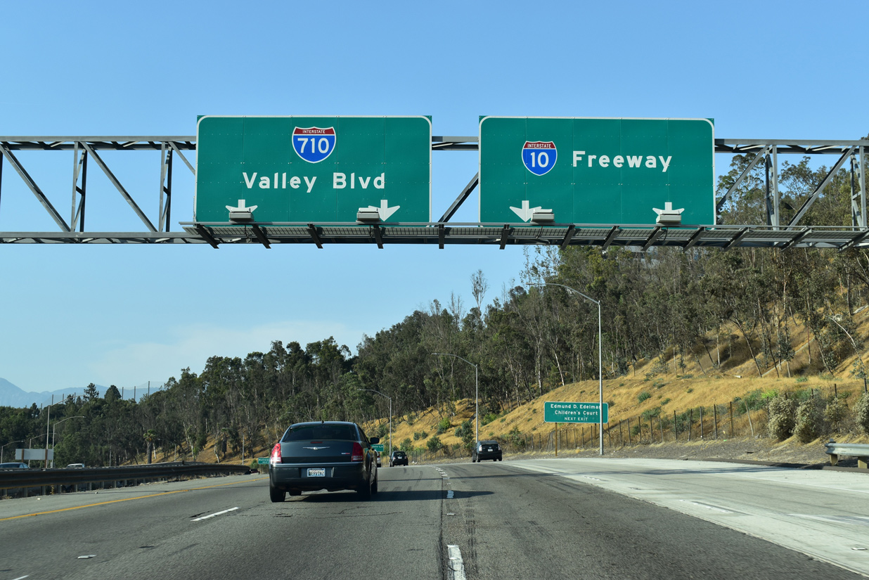
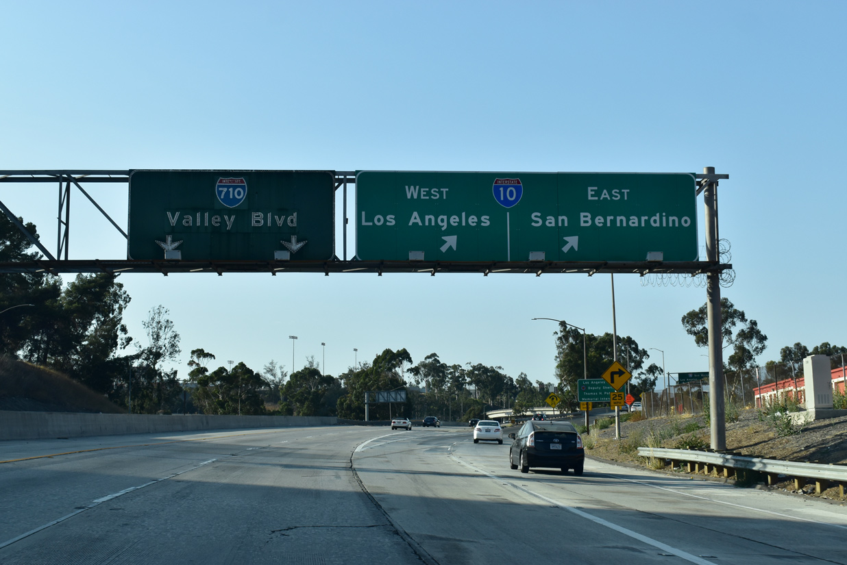
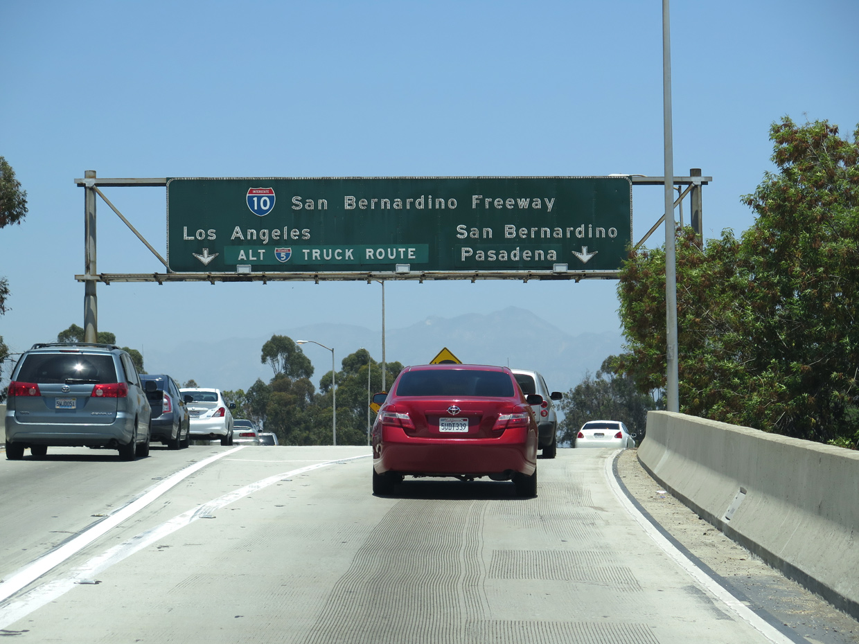
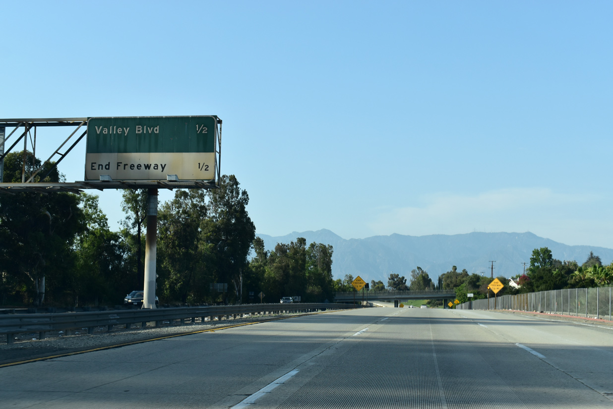
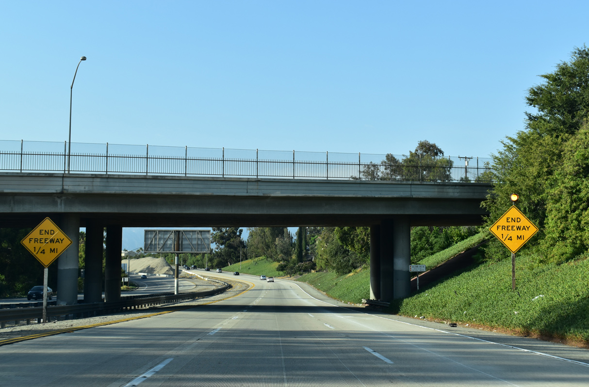
Interstate 710 (Long Beach Freeway) navigates through an S-curve leading into the cloverstack interchange with I-10 (San Bernandino Freeway). 07/08/18
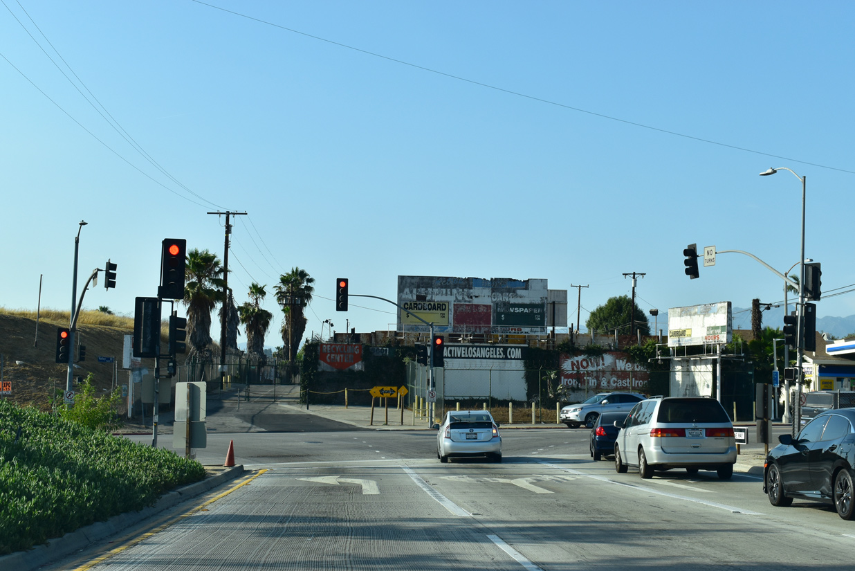
South at
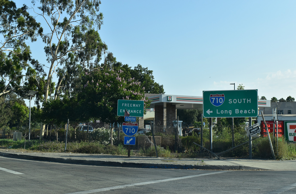
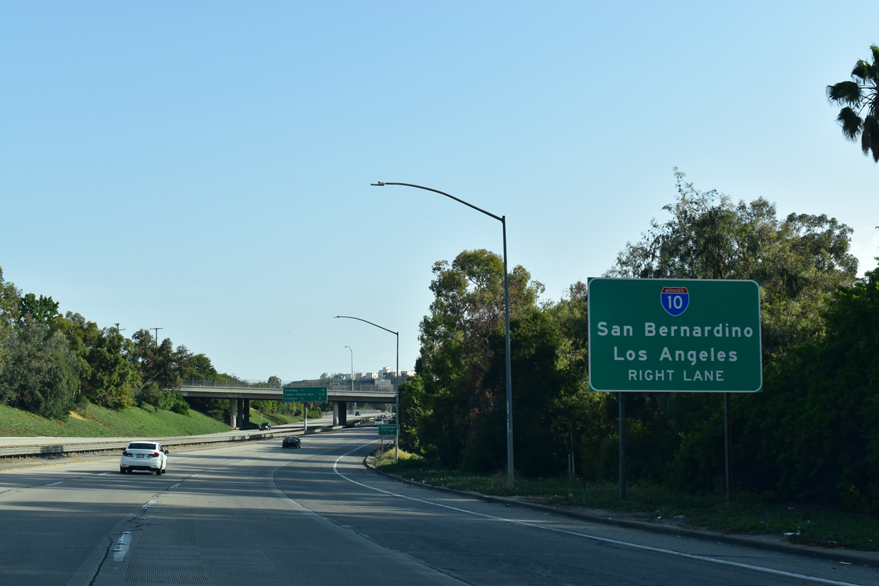
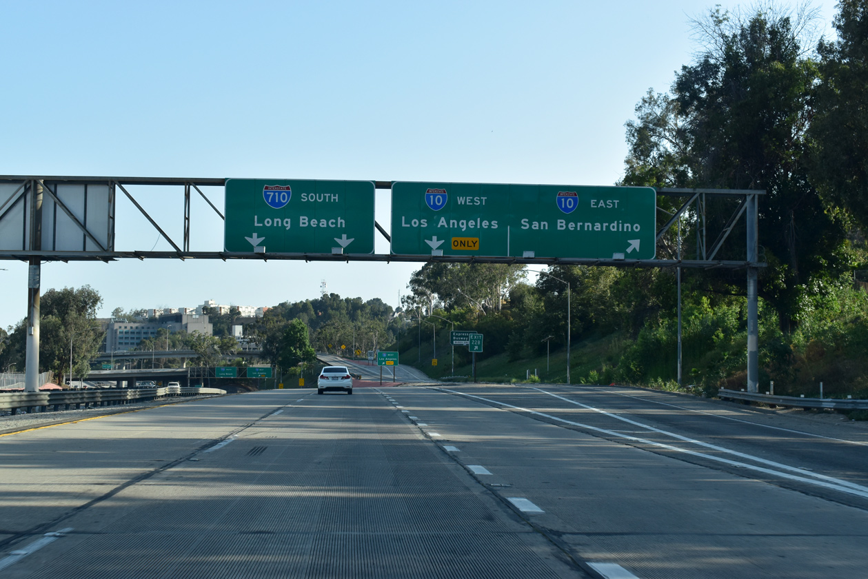
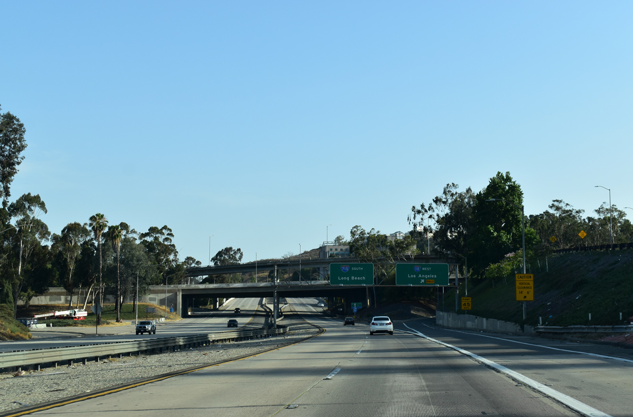
Valley Boulevard at the freeway entrance for Interstate 710 south to Monterey Park and East Los Angeles. 07/08/18
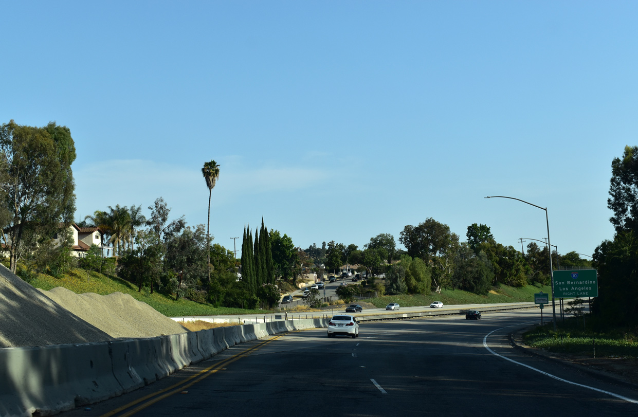
East at
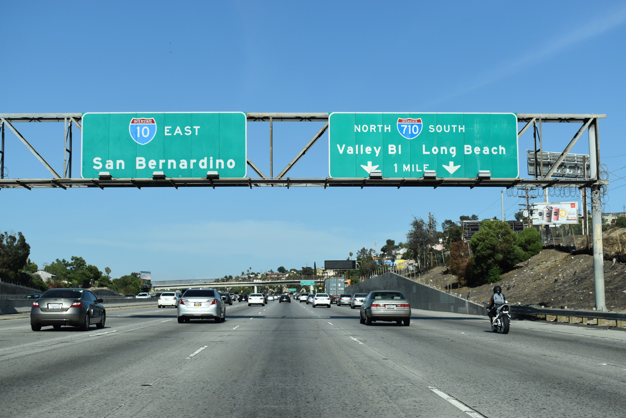
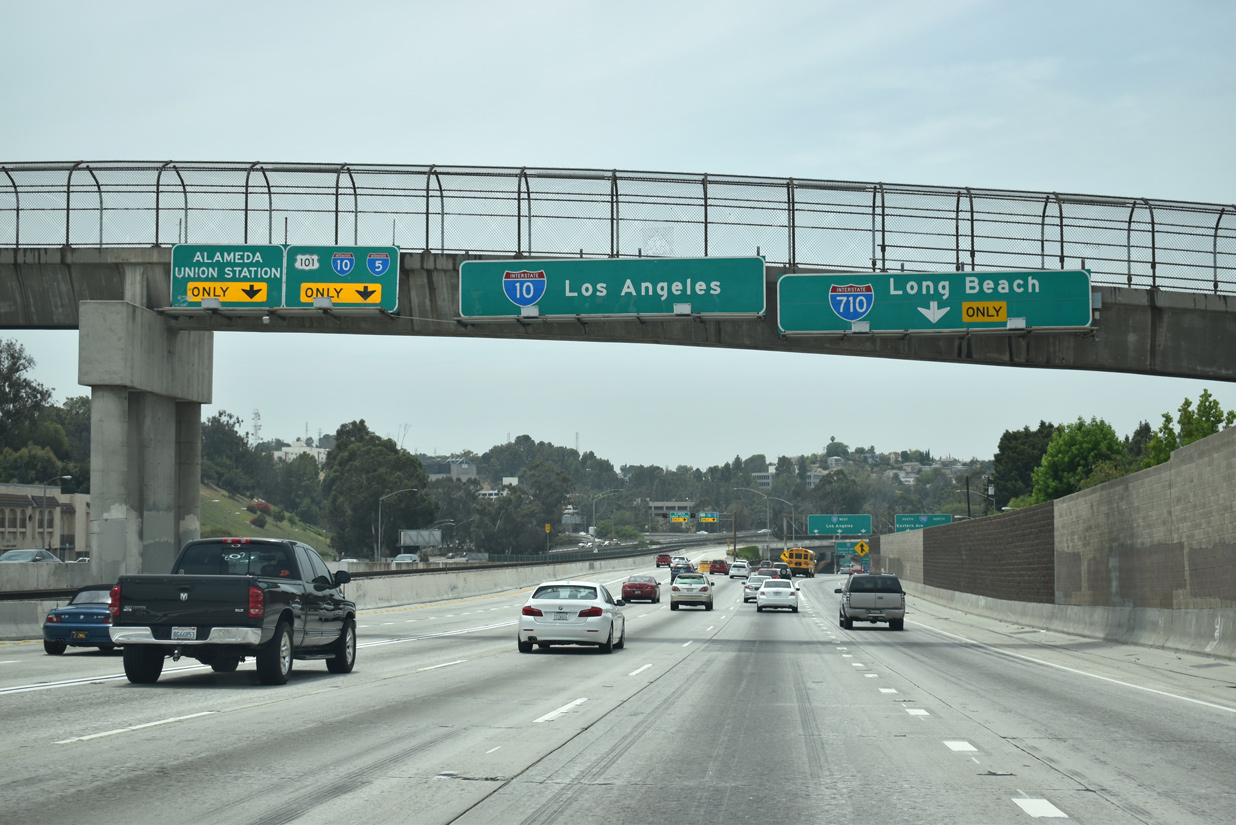
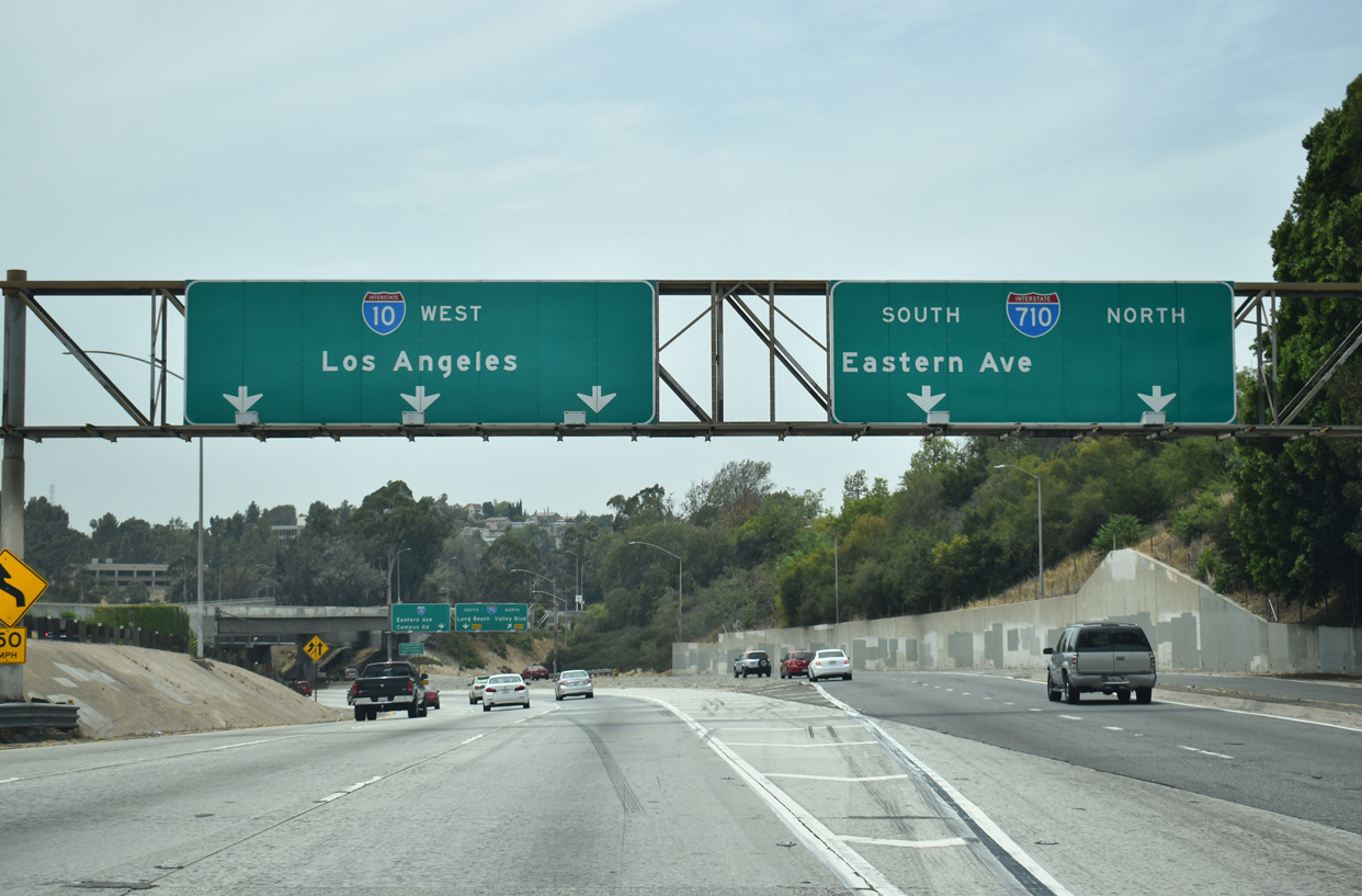
A collector distributor roadway (Exit 21) joins Interstate 10 (San Bernardino Freeway) eastbound with both directions of I-710 and parallel Ramona Boulevard. 07/12/18
West at
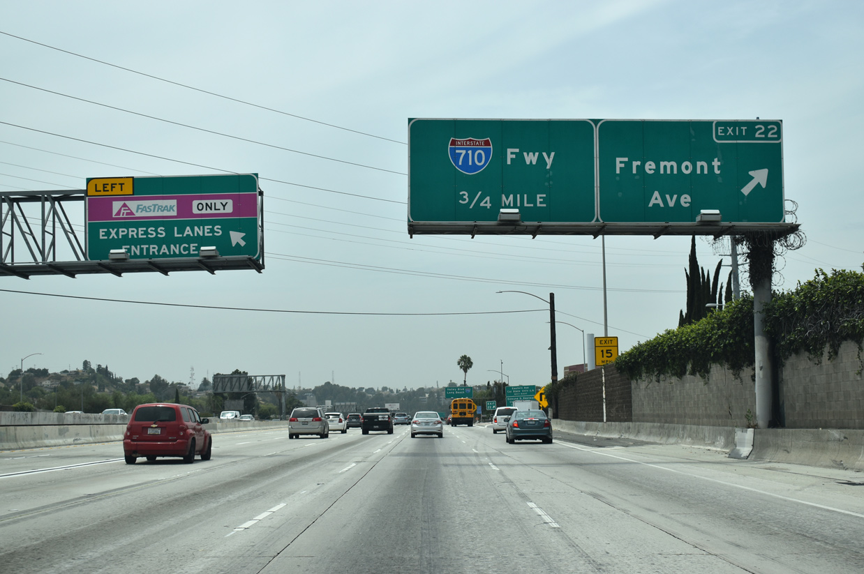
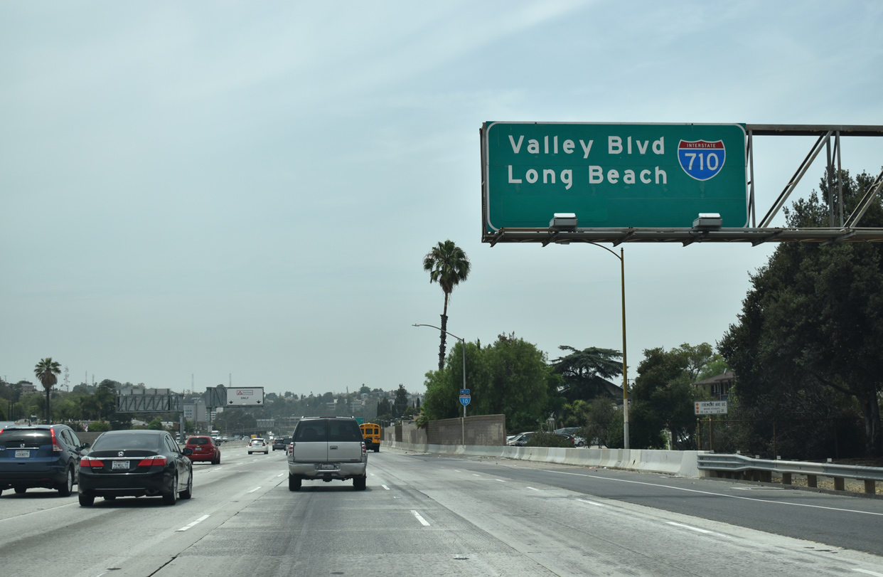
Interstate 10 angles southwest from Ross Avenue in Alhamba to Fremont Avenue and Exit 21 with I-710 (Long Beach Freeway). 07/09/18
Canceled North End 
 ‐ Pasadena, CA
Past Views Gallery (Tap to Expand / Collapse Section)
North at
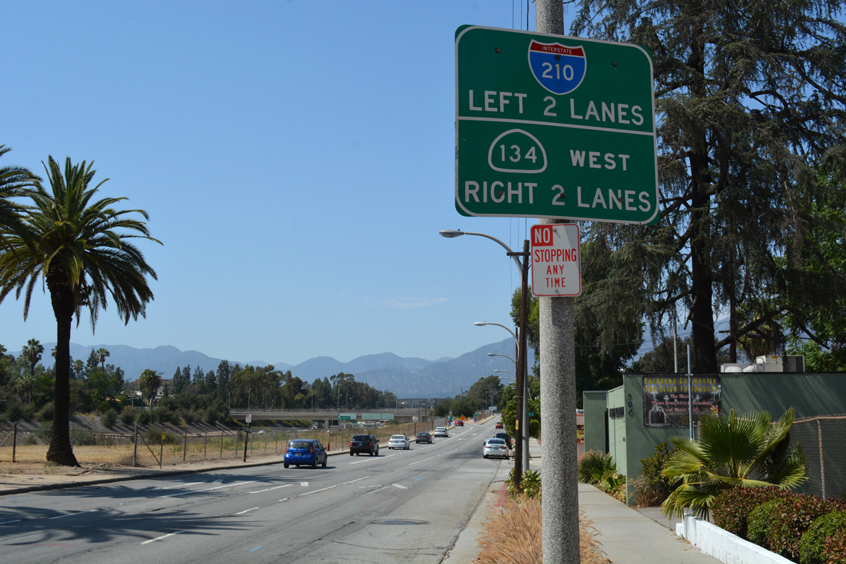
A pair of ramps join South Pasadena Avenue with the Long Beach Freeway spur northbound to I-210 and SR 134 respectively. 07/08/18
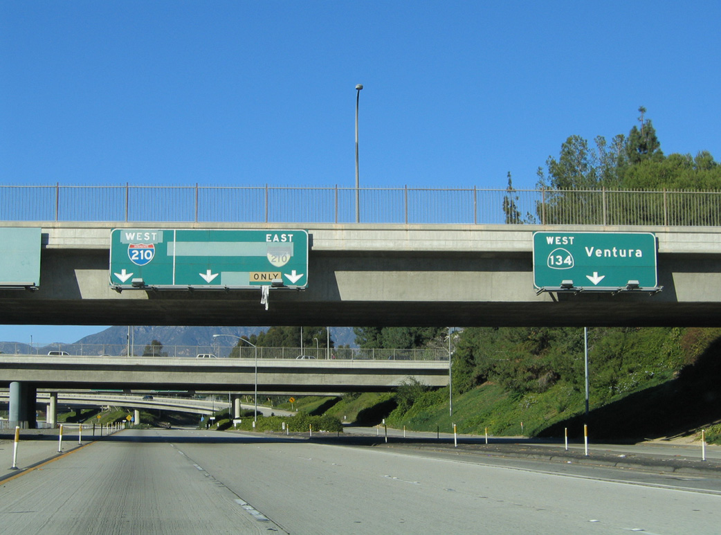
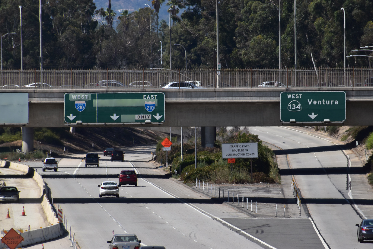
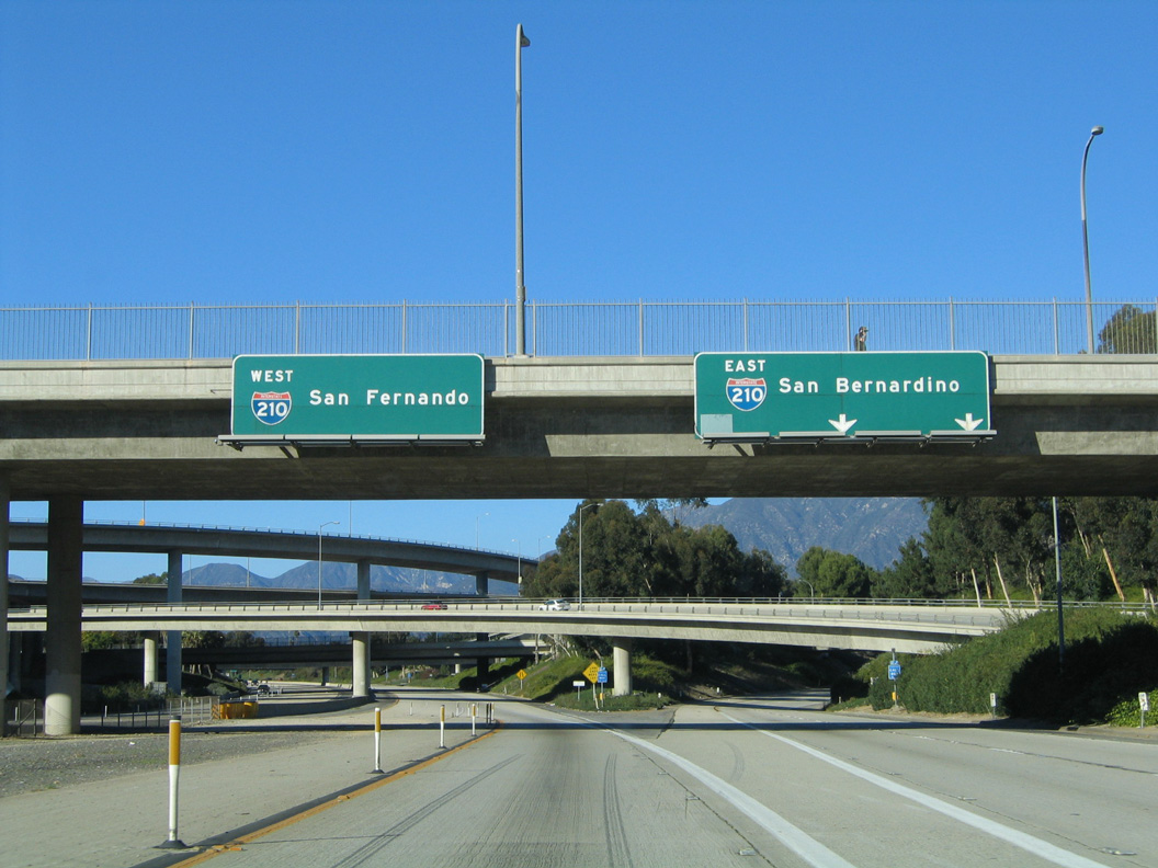
East at
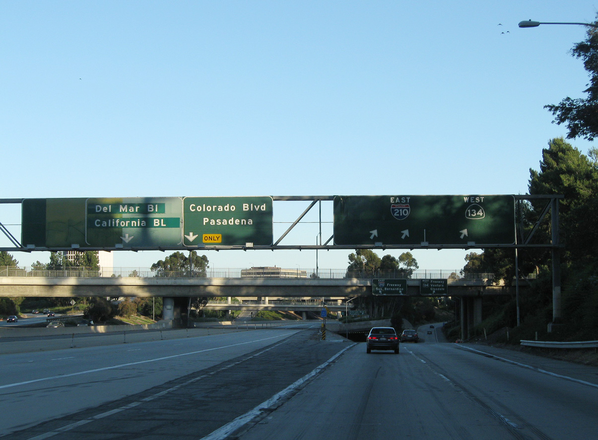
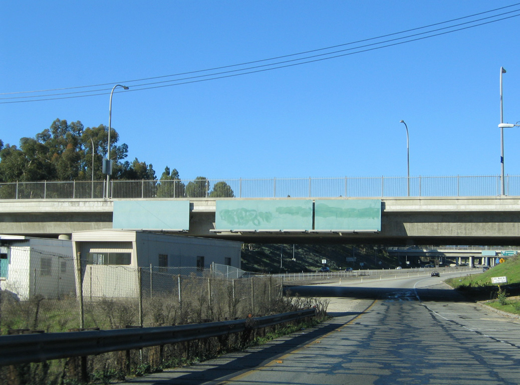
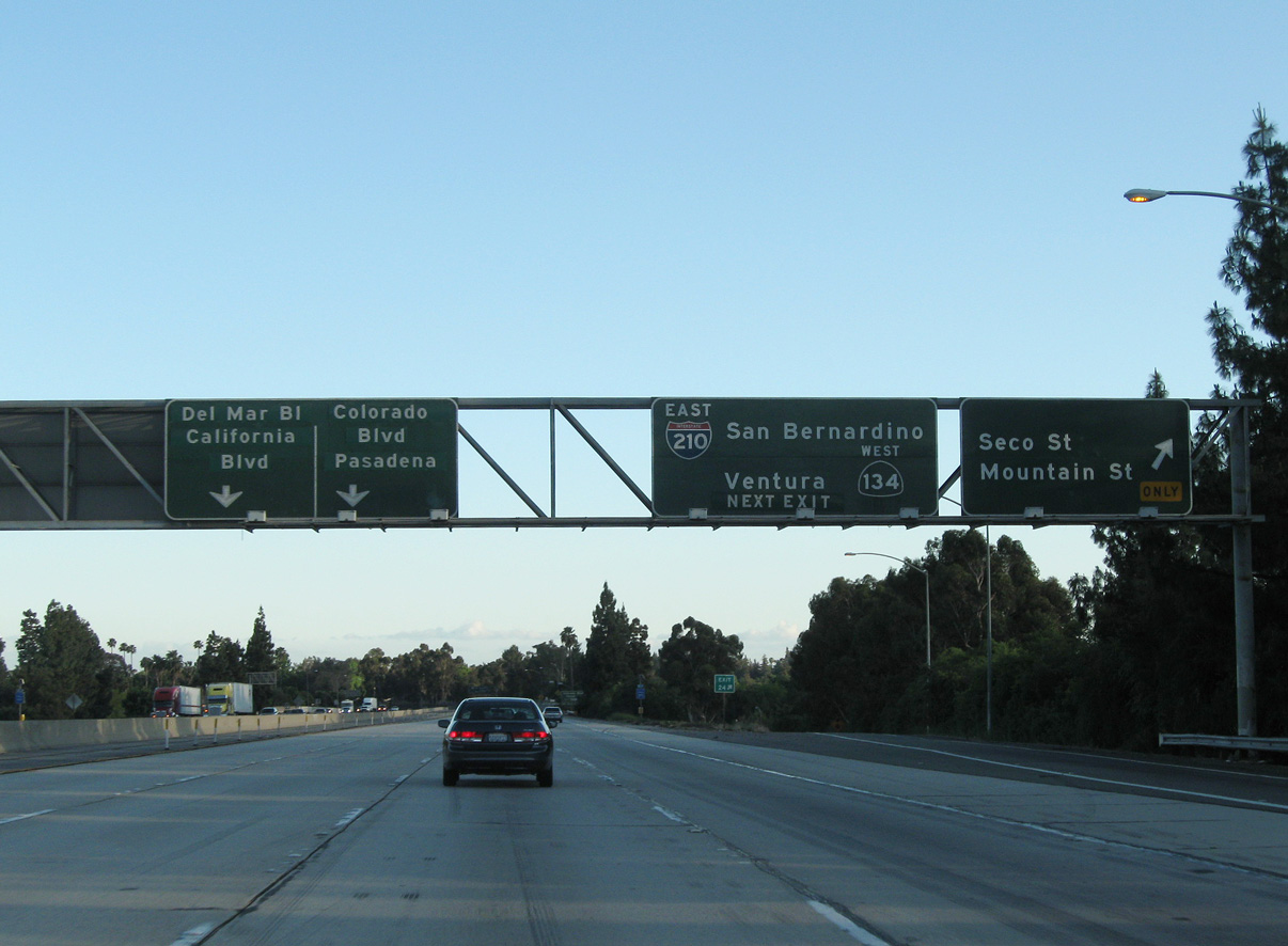
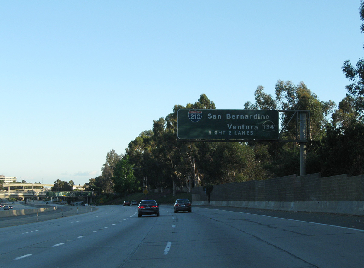
The Foothill Freeway mainline defaults onto unsigned SR 710 south. I-210 navigates through a tunnel east from SR 134. 05/15/11
West at
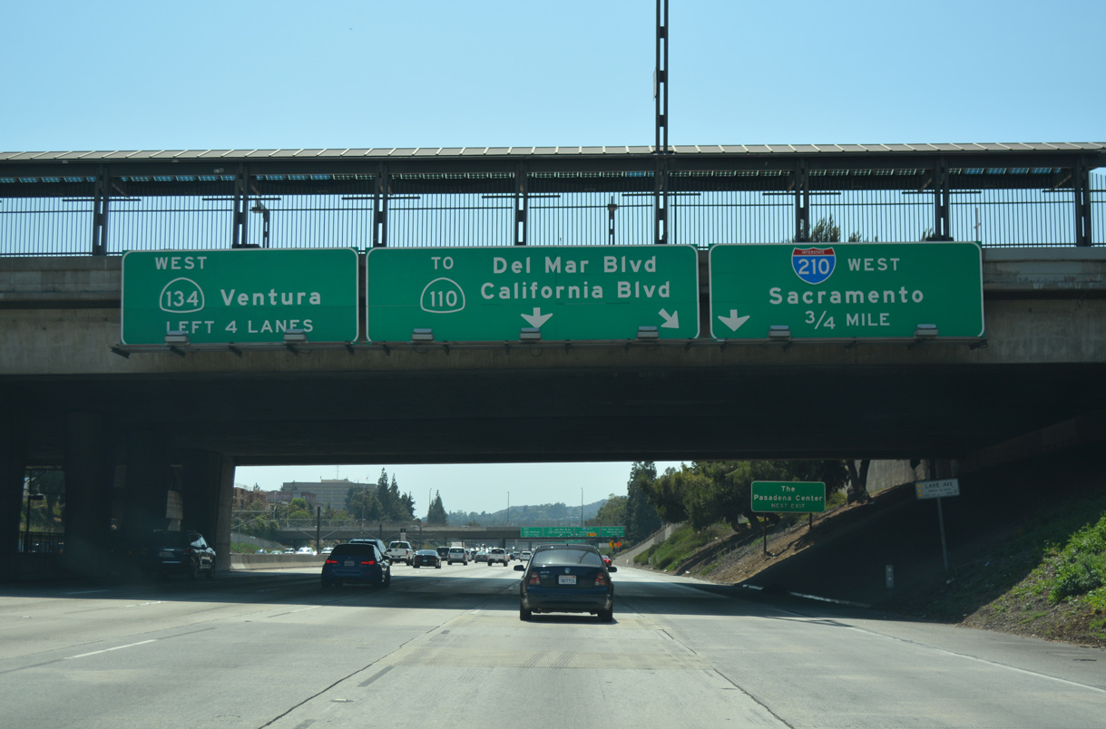
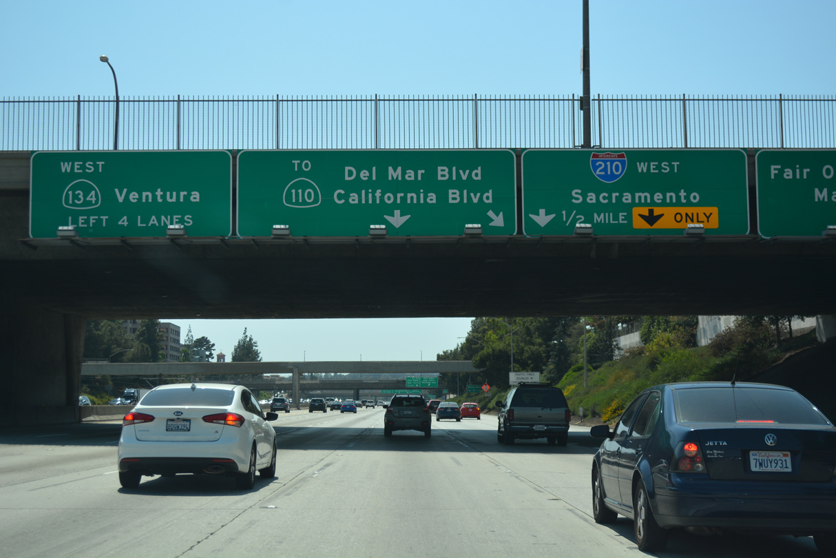
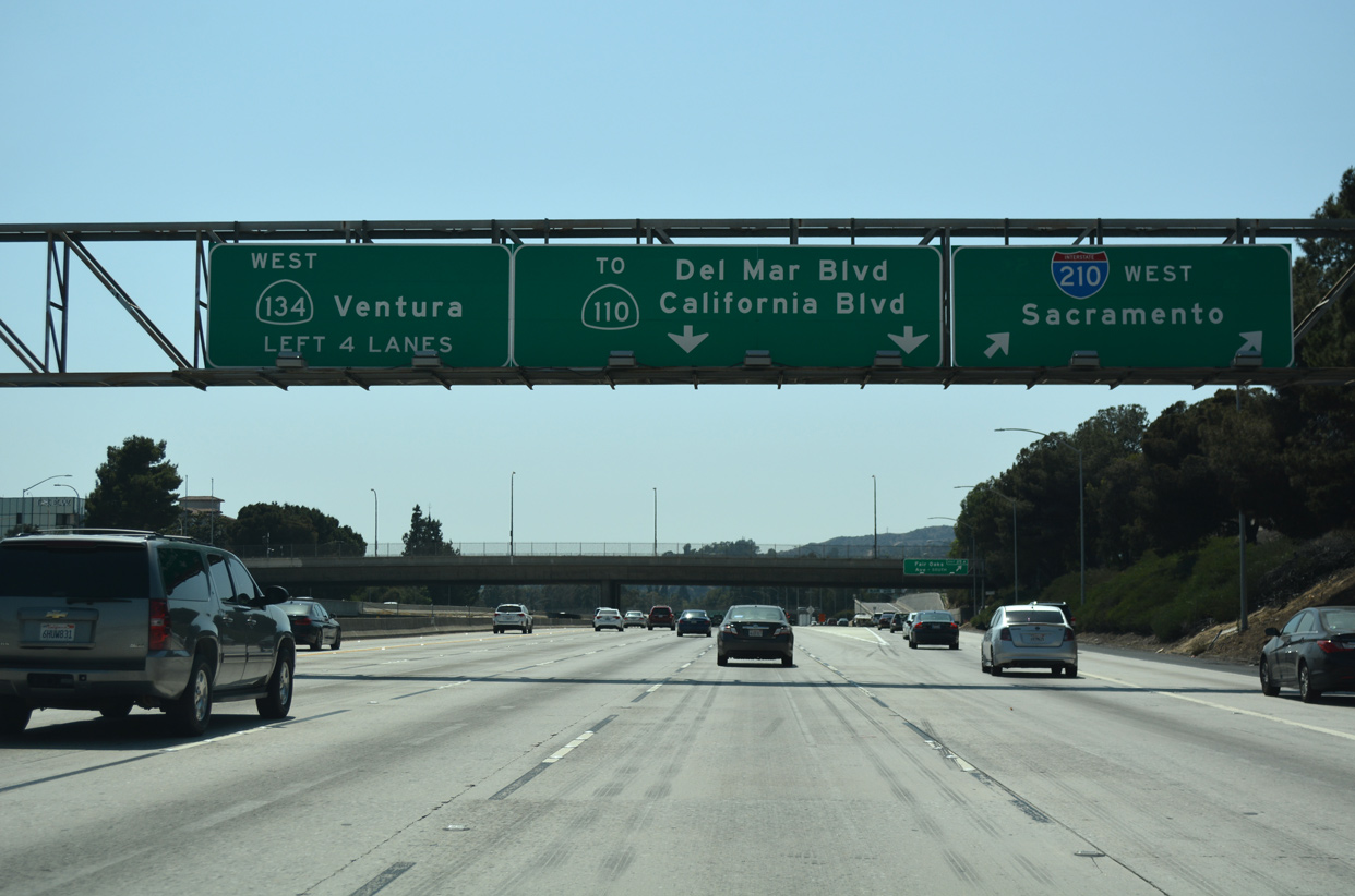
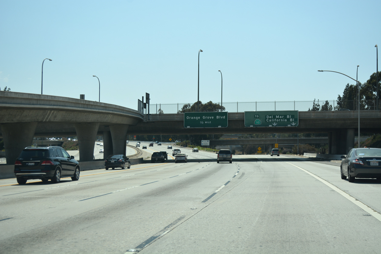
Guide signs for the SR 710 freeway spur reference the connection with SR 110 (Arroyo Seco Parkway) via St. John Avenue and Pasadena Avenue south. 07/08/18
South
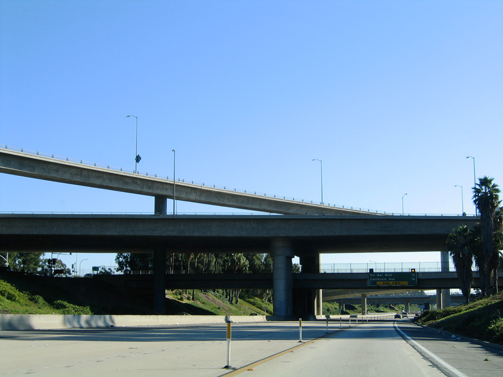
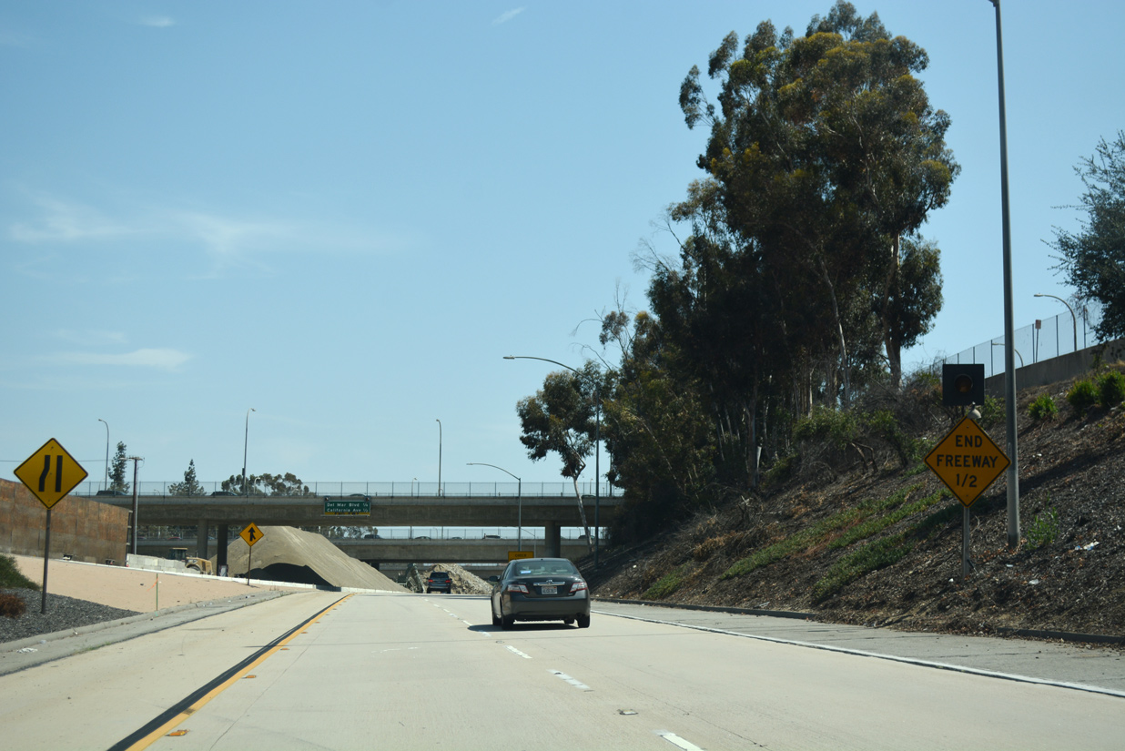
A single lane continues south from the Colorado Boulevard (old U.S. 66) entrance ramp on the roadway leading south from I-210 east to SR 710 (Long Beach Freeway). 11/14/04
South End 
 ‐ Long Beach, CA
South at
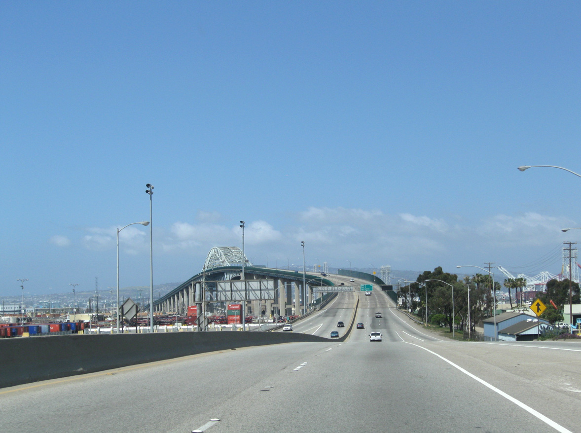
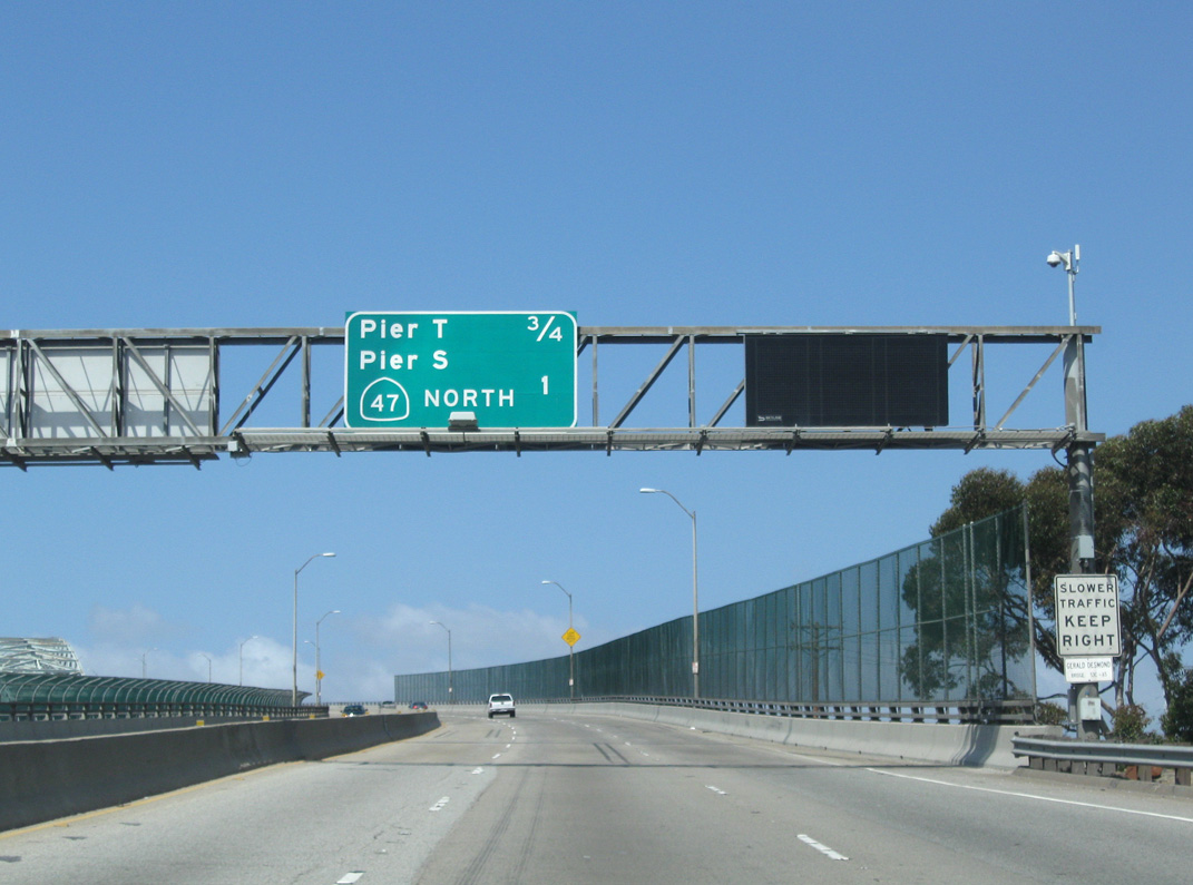
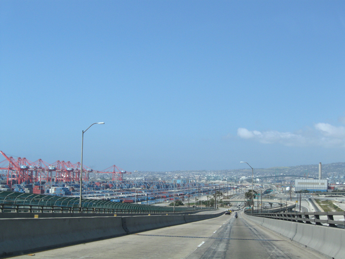
Interstate 710 turned west at Ocean Boulevard and Downtown Long Beach to cross the Gerald Desmond Bridge onto Terminal Island. The through arch bridge spanned Back Channel, a waterway connecting Long Beach Middle Harbor with the Inner Harbor. 05/02/10
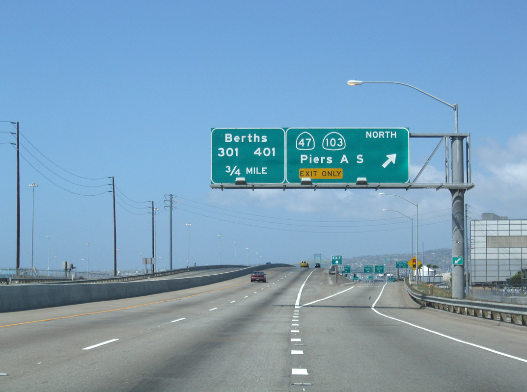
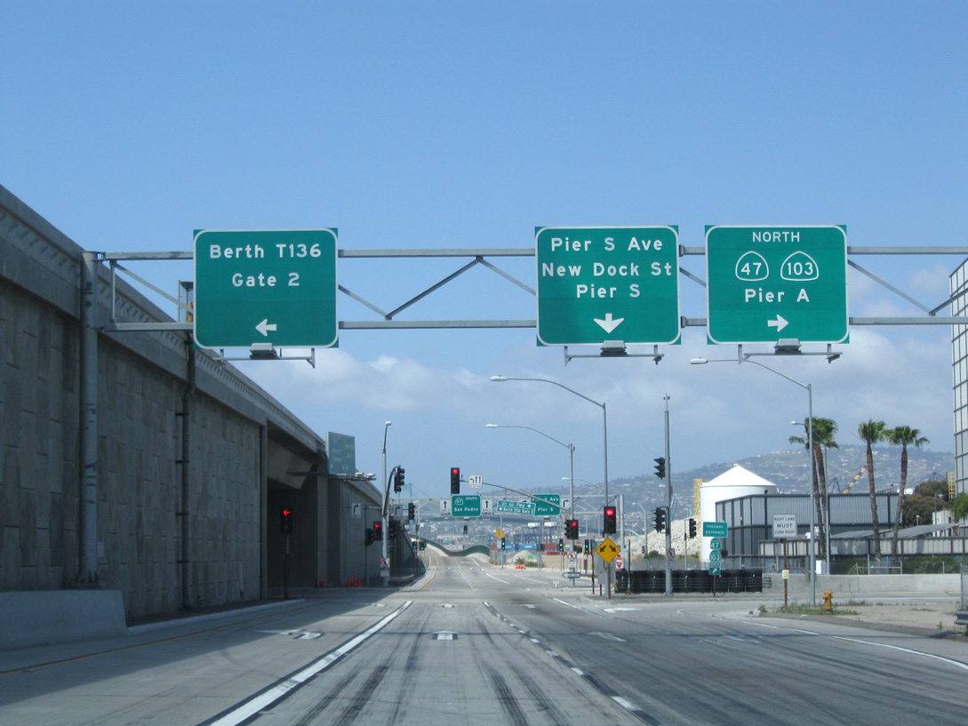
North at
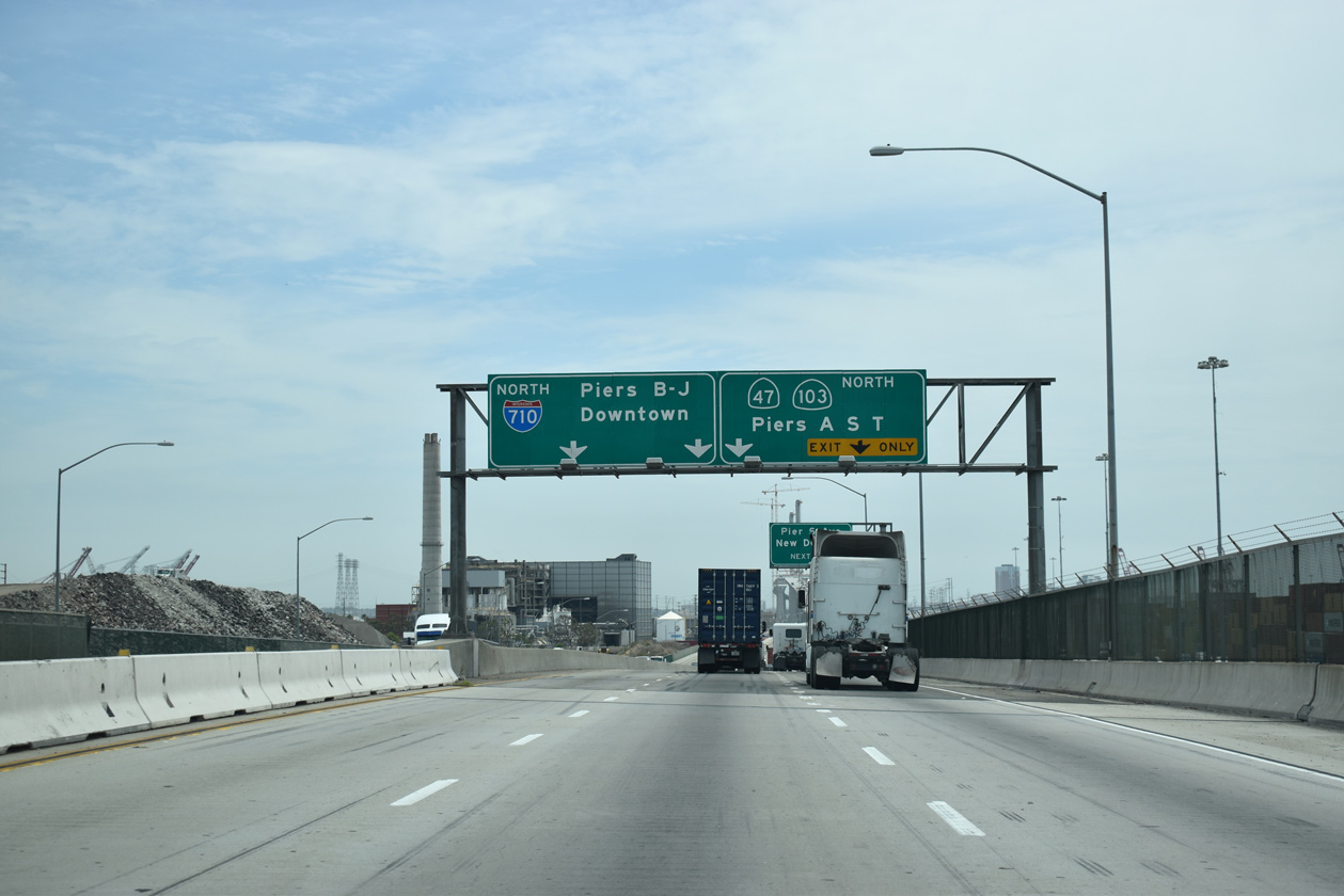
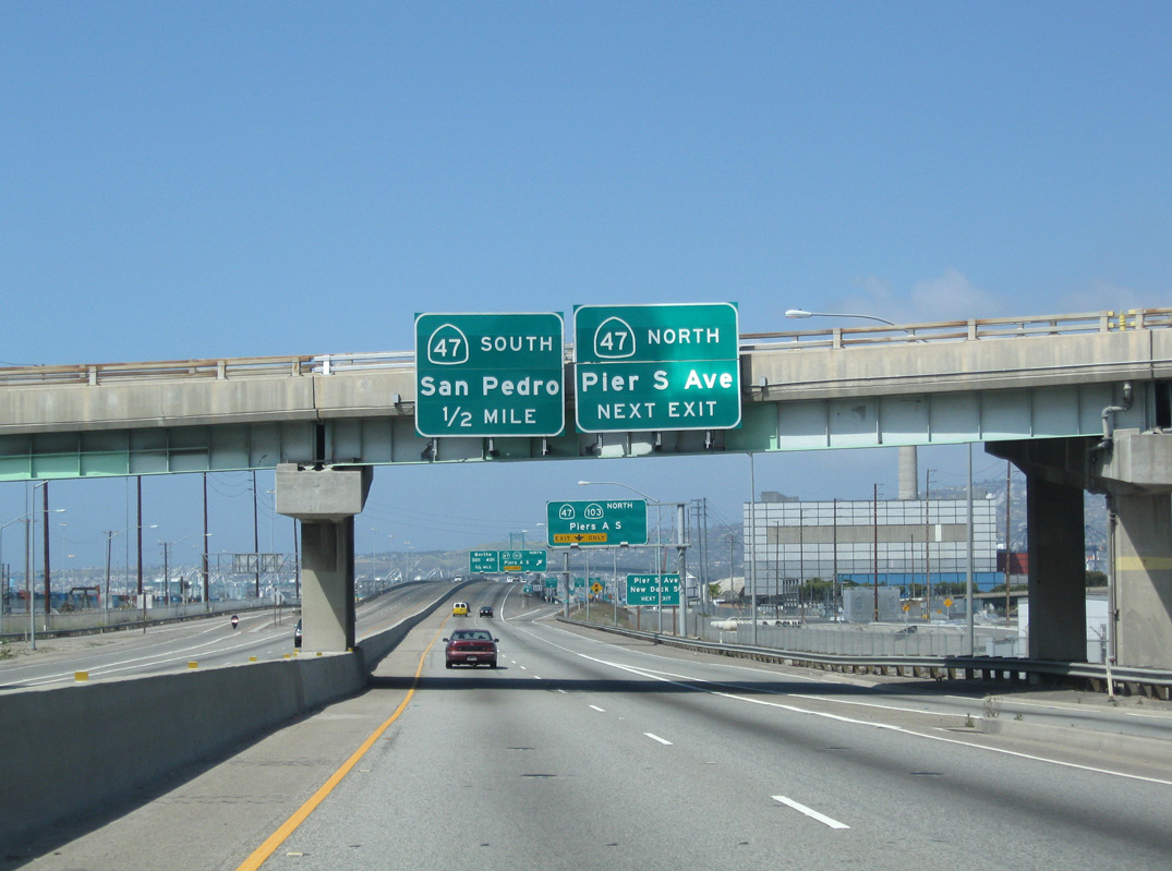
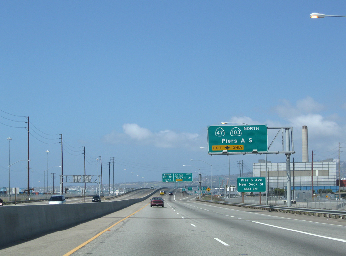
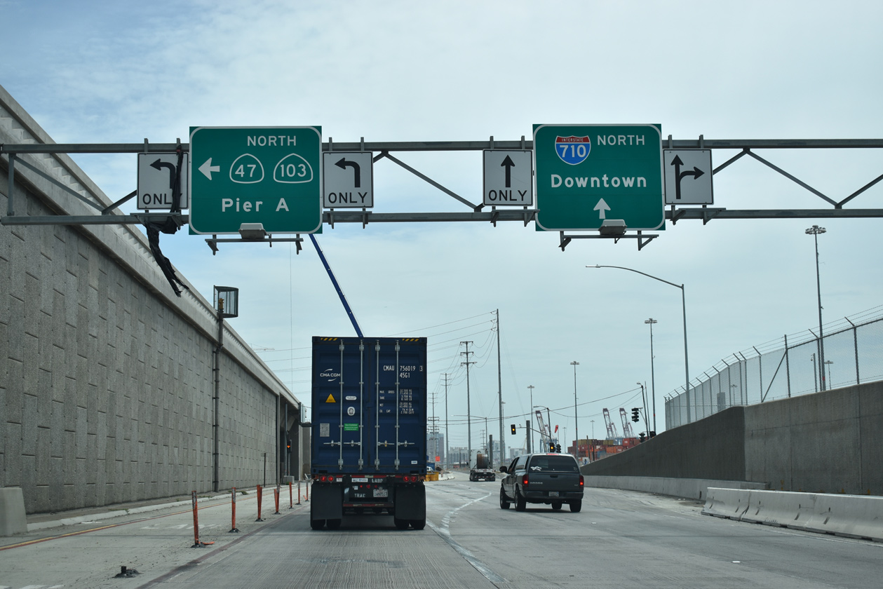
Interstate 710 takes over the Seaside Freeway from the departing SR 47. SR 47 combines with SR 103 north along the Terminal Island Freeway. 07/09/18
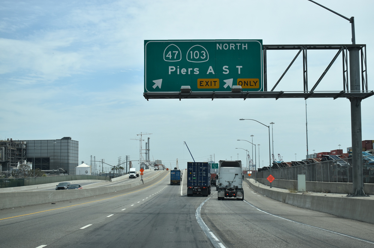
South at
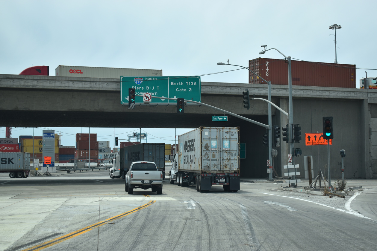
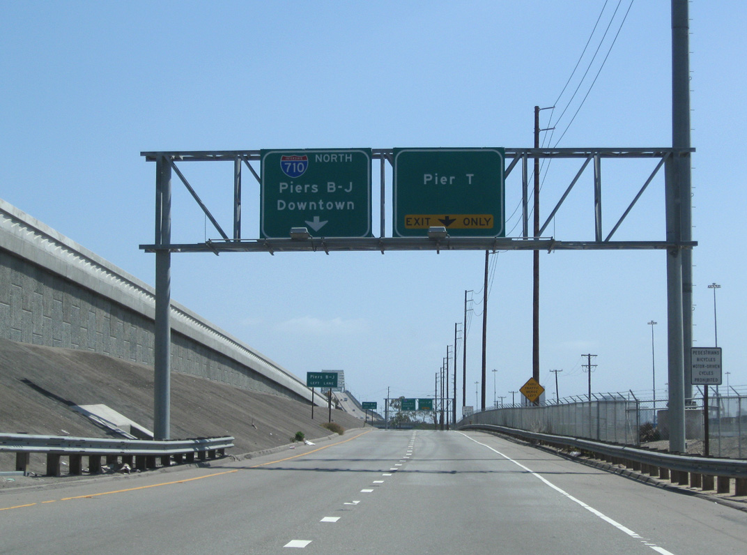
The grade separation at SR 47/103 (Terminal Island Freeway) and I-710 (Seaside Freeway) was completed in 2007. 07/09/18
References
- "10 months after Metro killed 710 tunnel, a nervous South Pasadena hires outside attorney to bring the fight to Caltrans." Pasadena Star-News (CA), March 7, 2018.
- "The epic and ugly battle over what to do about the 710 Freeway." Los Angeles Times (CA), May 24, 2017.