
Interstate 526 South Carolina
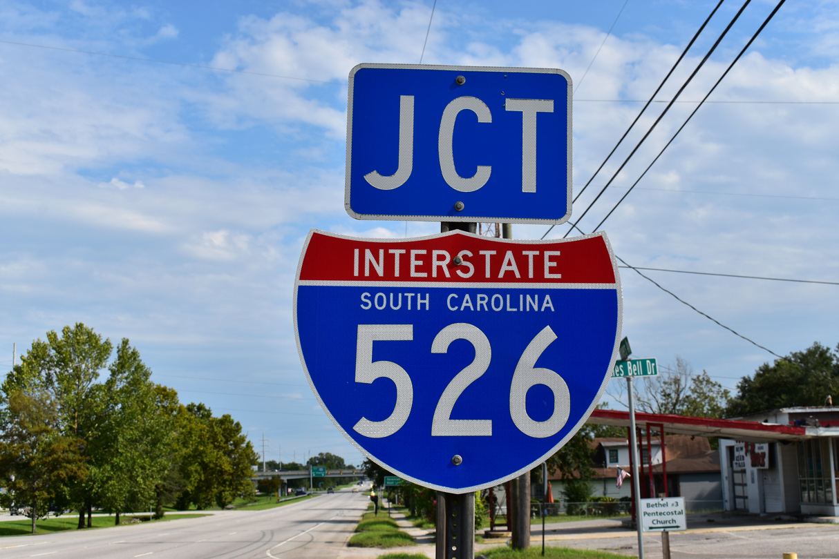
Overview
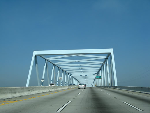
Connecting with U.S. 17 on both sides, Interstate 526 constitutes a belt route to the north of Charleston through the city of North Charleston. The freeway crosses over the Cooper River on the Don N. Holt Bridge, a three span continuous modified Warren truss (structural steel).1 A second high level span, the James B. Edwards Bridge, takes I-526 across the Wando River between Daniel Island and Mount Pleasant.
The eastern end of Interstate 526 connects with both U.S. 17 at Hungry Neck Road and Business Spur I-526 (Coleman Boulevard) west toward Sullivan's Island. The west end connects with U.S. 17 at S.C. 7 (Sam Rittenberg Boulevard) in west Charleston. Roadway stubs and grading there were built for the eventual southeasterly extension of the freeway toward Folly Beach and onto James Island. The James Island Expressway, S.C. 30 between S.C. 171 (Folly Road) and Downtown Charleston, represents the future southern extent of I-526.
Debated and delayed for two decades, the South Carolina Department of Transportation (SCDOT) moved forward on a contract to complete the remaining portion of I-526 on December 5, 2013. This measure advanced after the Charleston County Council voted to proceed with the contract in December 2013. The initial contract was estimated at $558 million.3 Despite the optimism for a possible 2020 completion of I-526,4 funding was not finalized and work on I-526 has remained on hold.
Mileage by State
| South Carolina | 19.56 mi |
Data Sources
December 31, 2025 Interstate Route Log and Finders List
History
The American Association of State Highway and Transportation Officials (AASHTO) approved the numbering of Interstate 526 initially on June 29, 1978 from I-26 southeast to U.S. 17/701 in Mount Pleasant. The first section of I-526, the Mark Clark Expressway between U.S. 17 and S.C. 642 (Dorchester Road), was designated as S.C. 31. The freeway through west Charleston was named in 1976 after General Mark Clark, a World War II hero and former president of The Citadel, Charleston's military college.5
The western extension of I-526, from North Charleston to S.C. 7 was approved by AASHTO on October 6, 1989. The route was signed shortly thereafter, starting with the section that was previously signed as S.C. 31 from U.S. 17 northeast to I-26. Dedicated on June 20, 1992,2 Interstate 526 was extended southeast to rejoin U.S. 17 north of Charleston with the completion of the Don N. Holt Bridge over the Cooper River. The freeway directly transitions onto Business Spur I-526 in Mt. Pleasant, which was also signed in 1992.
S.C. 31 was reused with the December 17, 2002 opening of the Carolina Bays Parkway between U.S. 501 and S.C. 9 to the north of the Grand Strand. Included in the future I-74 corridor from southeastern North Carolina, Carolina Bays Parkway was extended west to S.C. 544 on December 15, 2004.
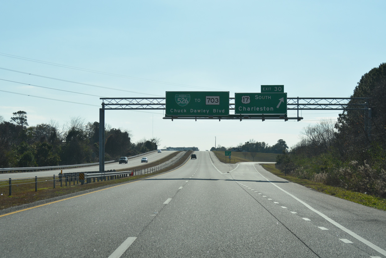
The east end of I-526 was improved with a new single point interchange connecting the freeway with U.S. 17 at Hungryneck Boulevard in Mount Pleasant. Costing $26.7 million, the exchange was completed in January 2013.6 Associated work reconfigured the original parclo interchange joining I-526 and Business Spur I-526 (Chuck Dawley Boulevard) with U.S. 17 to the west to eliminate signalized turns. Motorists are instead directed to the new ramps at Hungryneck Boulevard to the east, or the grade separated intersection further west along U.S. 17 at Bowman Road.
East End 
 ‐ Mount Pleasant, SC
 East at
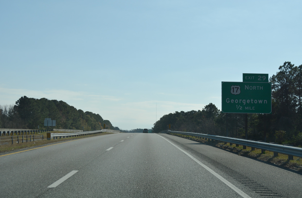
Interstate 526 angles southward toward the wye interchange (Exit 29) with the connector to U.S. 17 at Hungryneck Boulevard. Photo taken 12/31/17.
South at
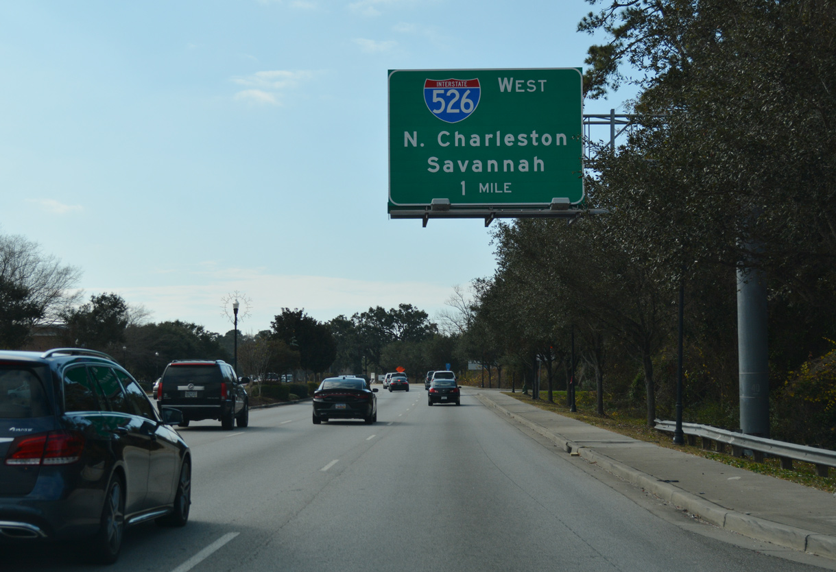
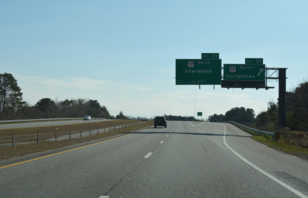
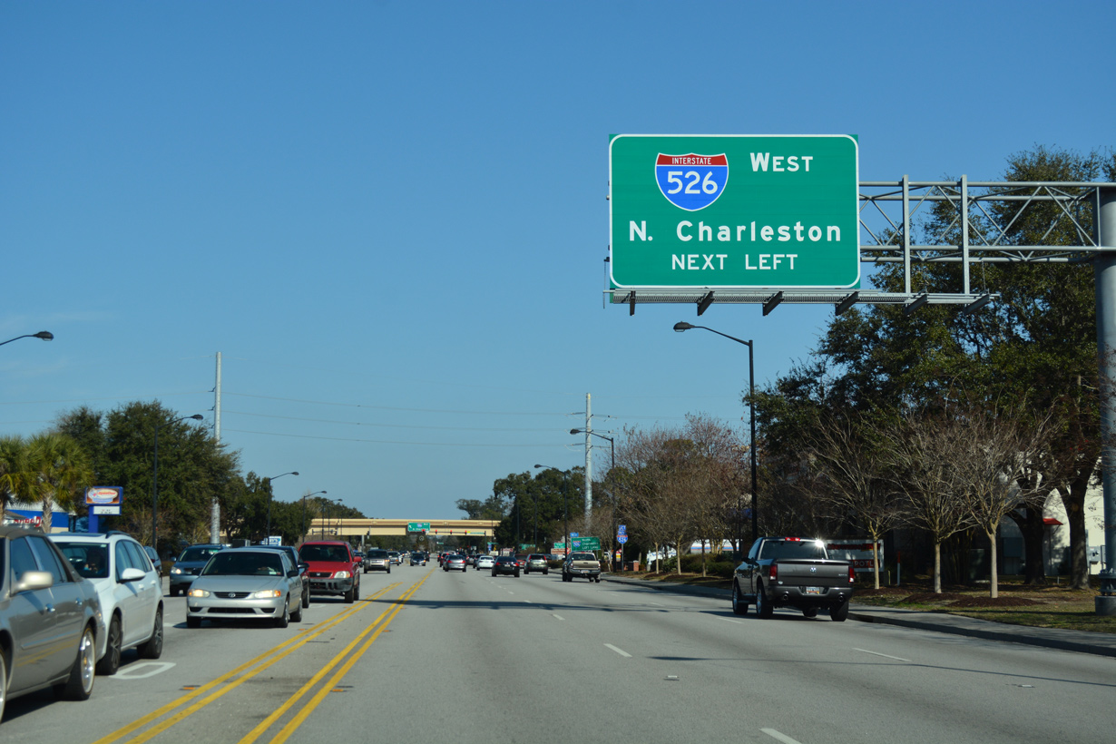
U.S. 17 heads southwest from Mount Pleasant Towne Center to the single point interchange with Hungryneck Boulevard and the access ramps to Interstate 526. Photo taken 12/31/17.
North at
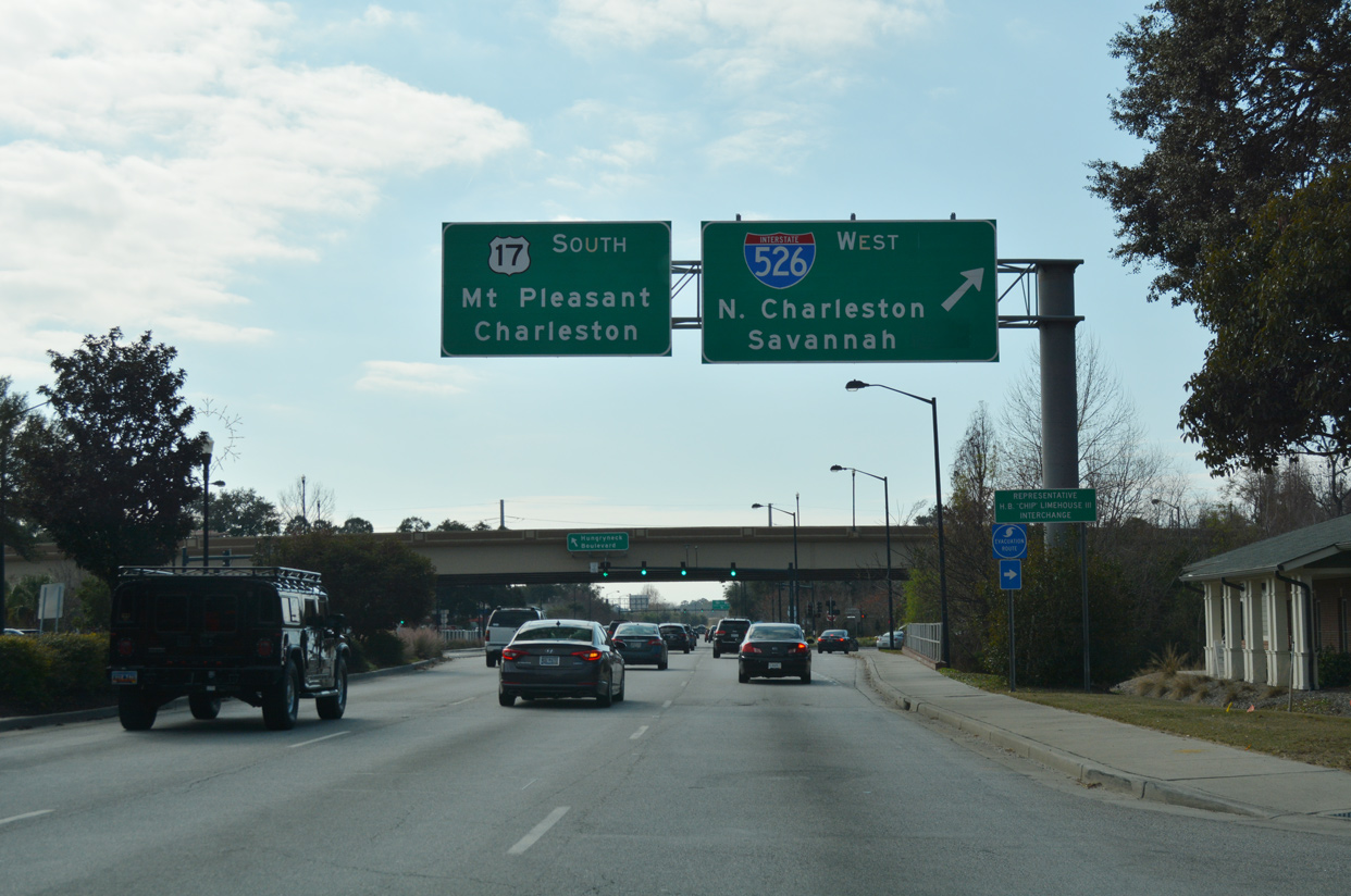
The SPUI with Hungy Neck Boulevard provides a second entry point for I-526 west from U.S. 17 northbound at Mt. Pleasant. Photo taken 12/31/17.
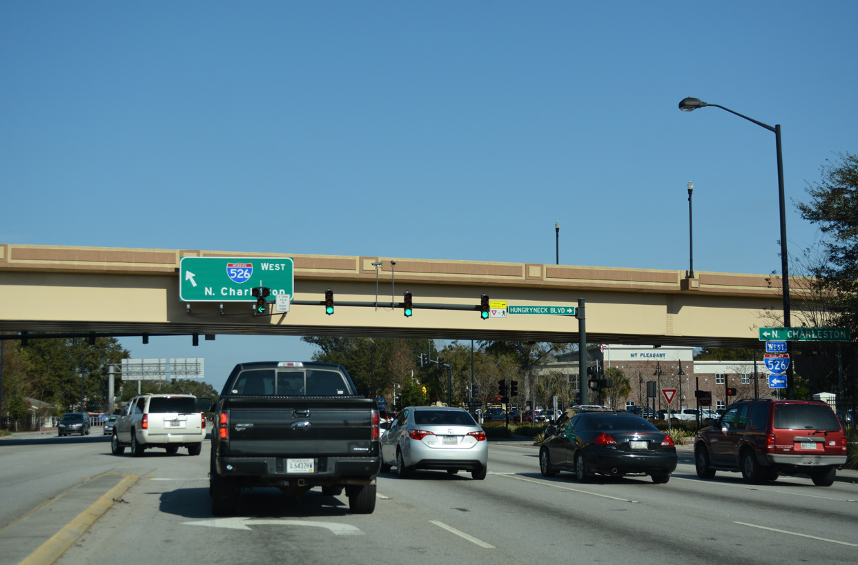
West at
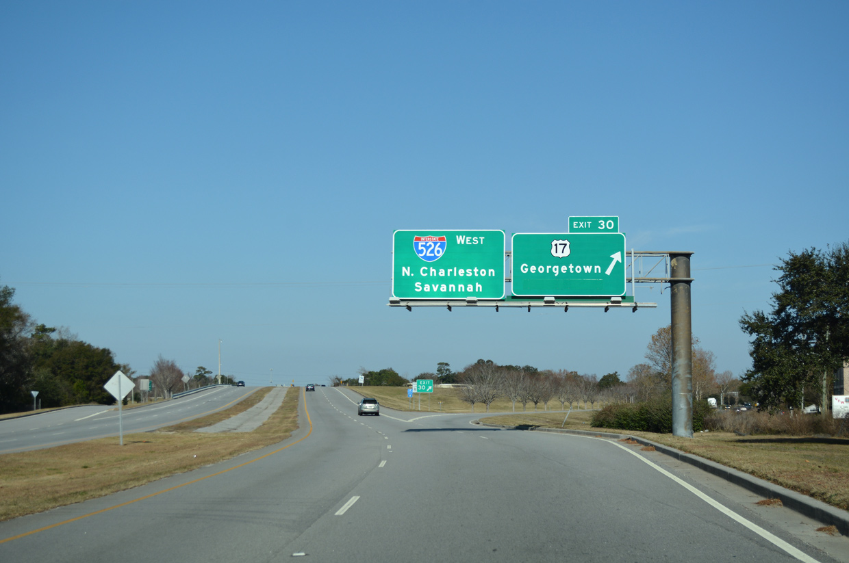
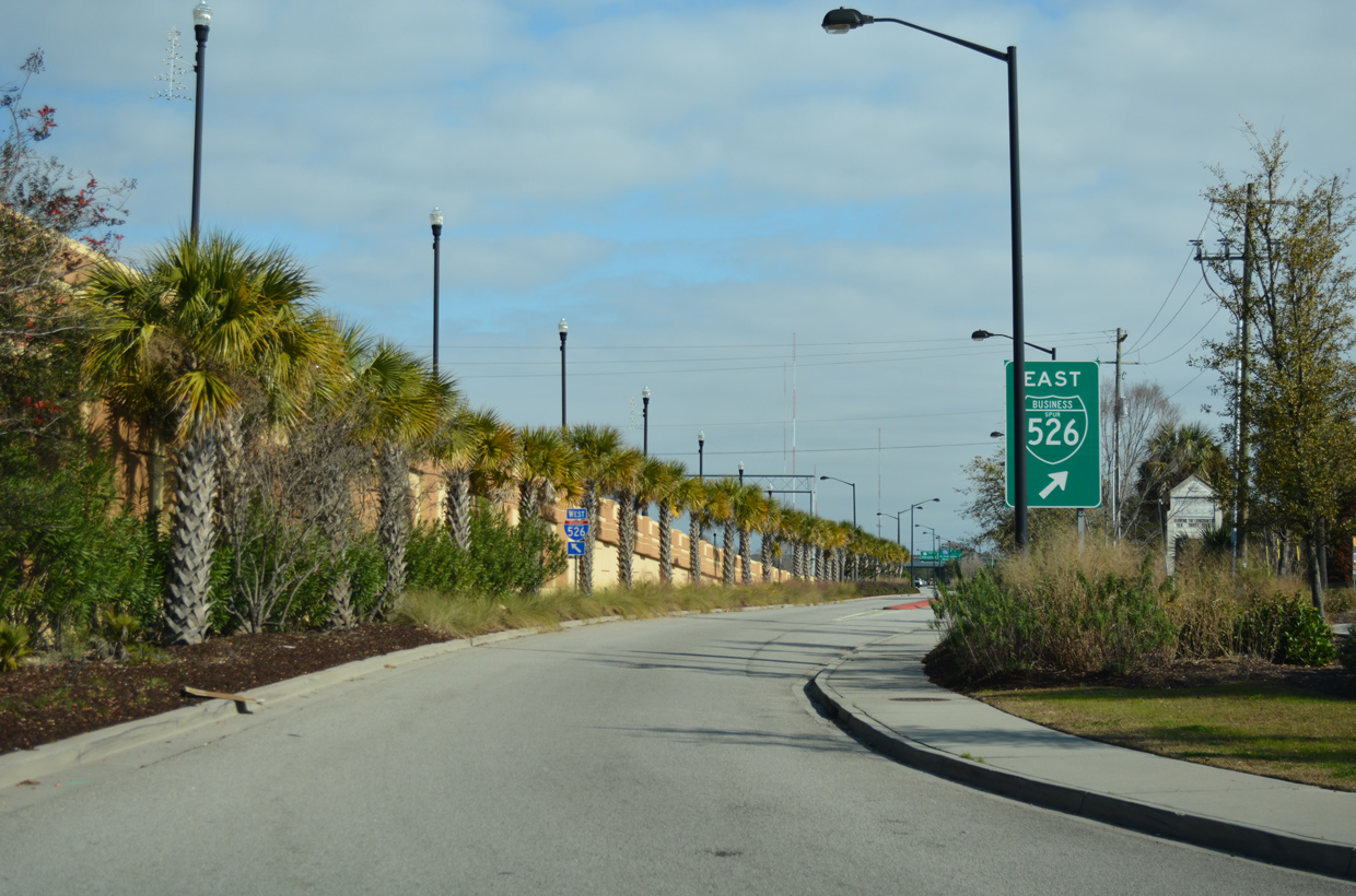
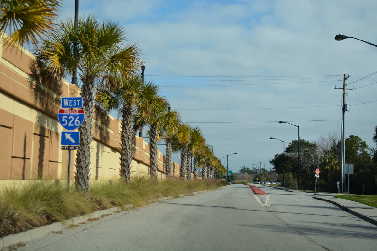
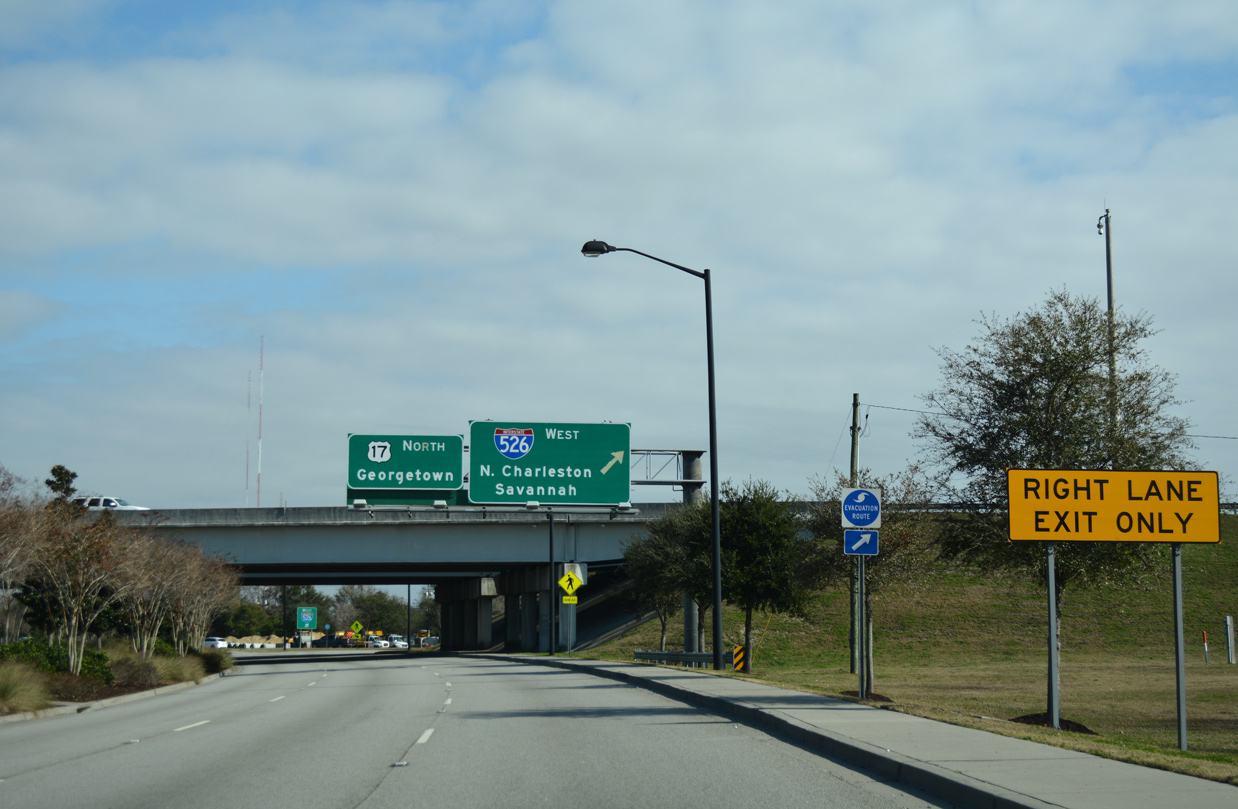
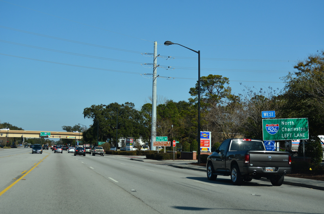
Westbound Business Spur I-526 transitions onto Interstate 526 just north of Bowman Road. With the interchange built at U.S. 17 and Bowman Road in 2012, Exit 30 was modified to connect with U.S. 17 northbound only. Photo taken 12/31/17.
East End – Past Views
Past Views Gallery (Tap to Expand / Collapse Section)
at
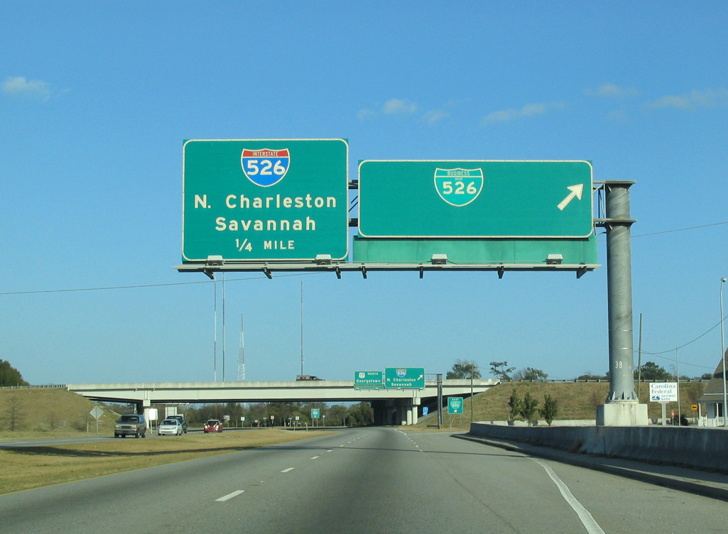
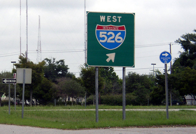
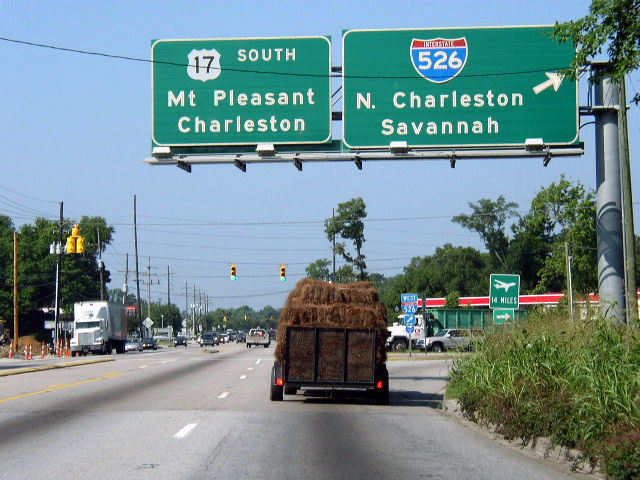
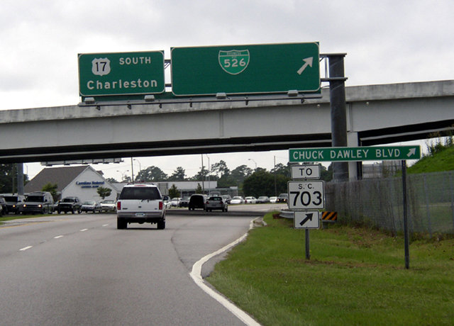
U.S. 17 north at the former off-ramp for Business Spur I-526 eastbound. Chuck Dawley Boulevard loops southwest to S.C. 703 (Coleman Boulevard) through Mount Pleasant. Photo taken 01/18/04.
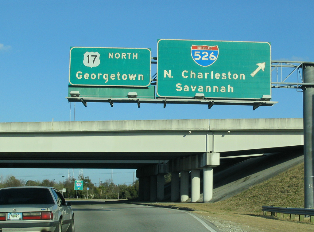
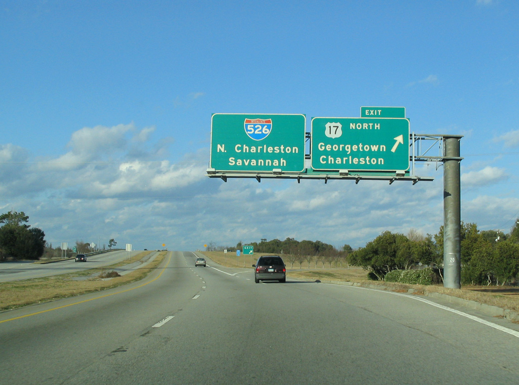
West End  ‐ western Charleston, SC
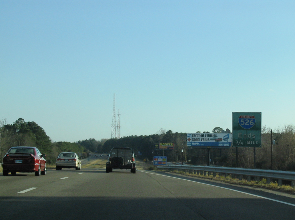
West at
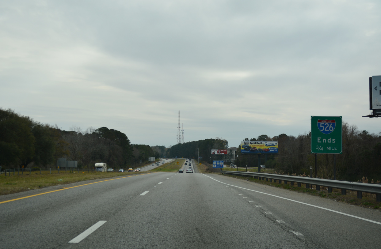
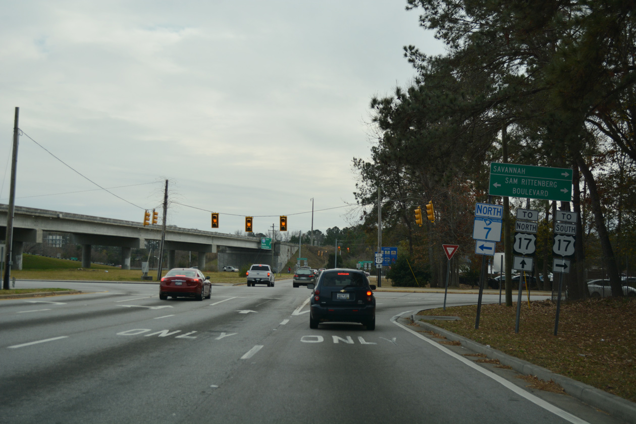
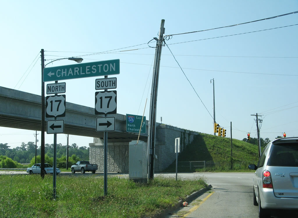
0.75 miles ahead of the freeway end at U.S. 17 in west Charleston. Photo taken 12/31/17.
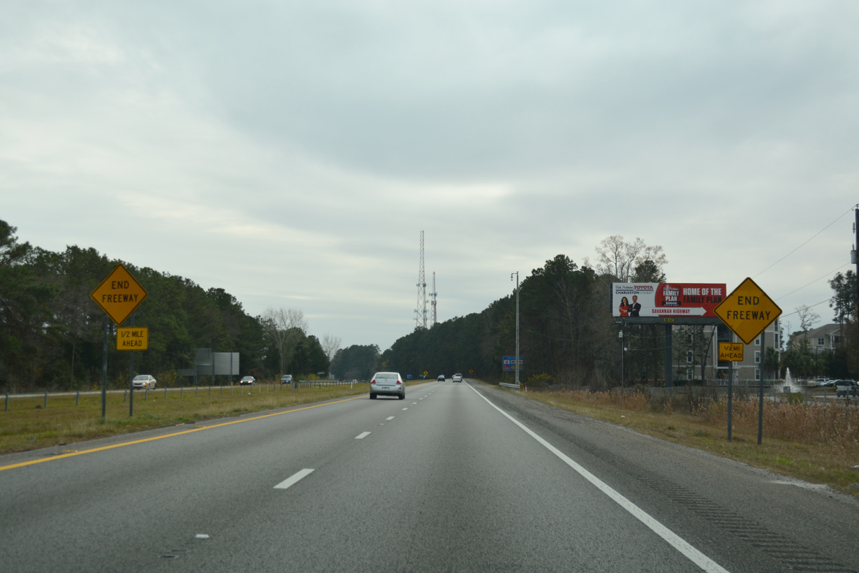
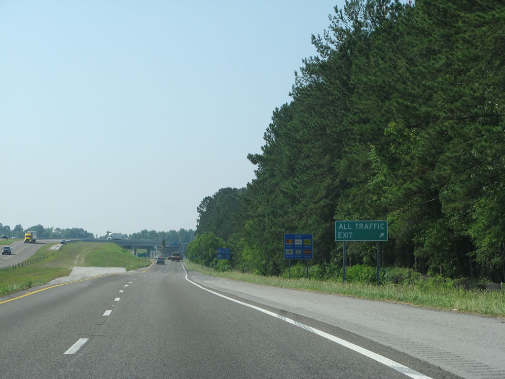
North at
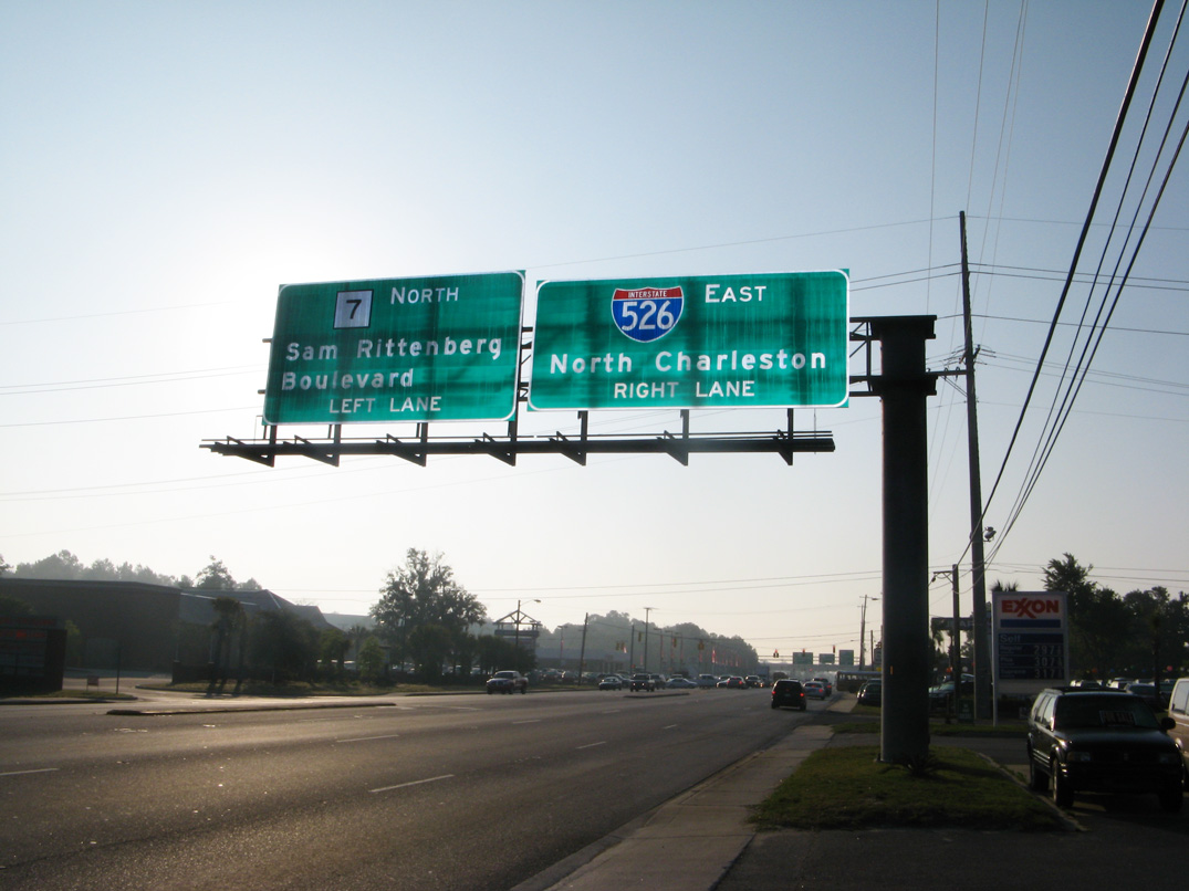
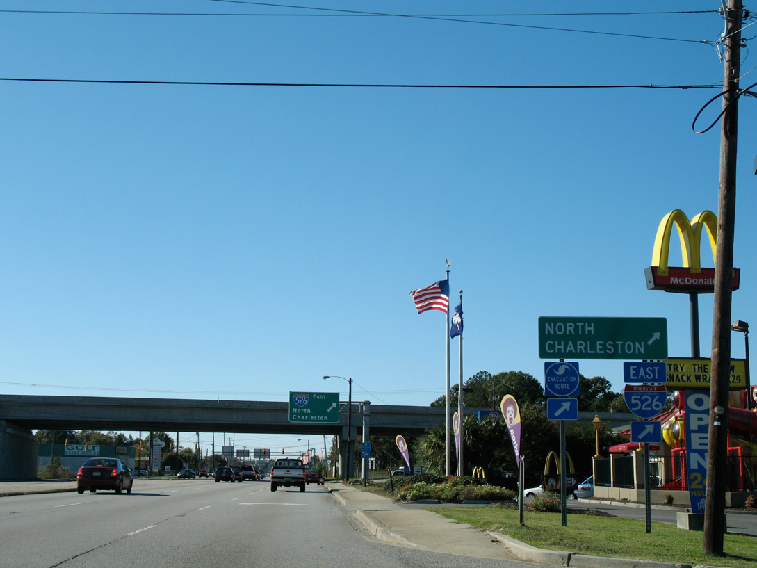
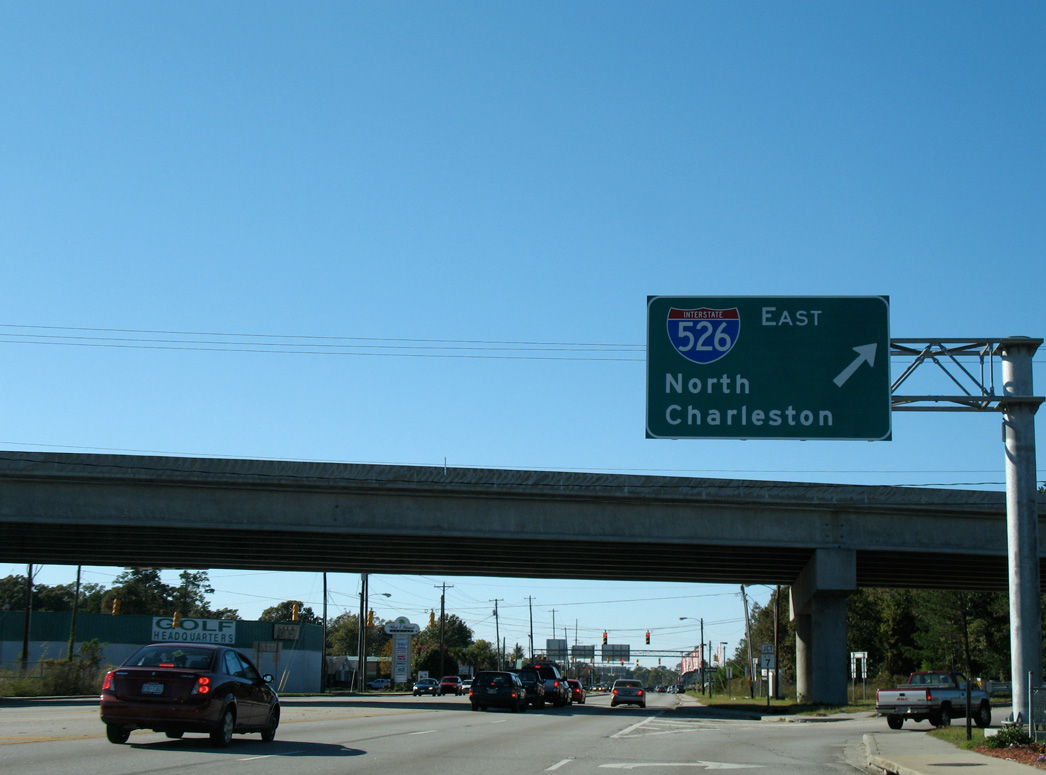
A loop ramp for I-526 eastbound follows the signalized intersection joining U.S. 17 with S.C. 7 (Sam Rittenberg Boulevard). I-526 and S.C. 7 both lead northeast across the Ashley River to North Charleston. Photo taken 05/30/07.
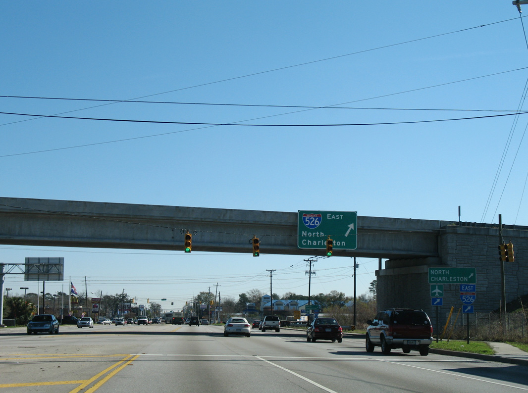
South at
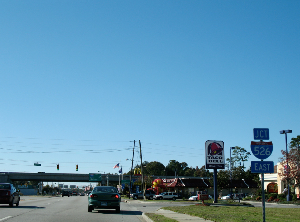
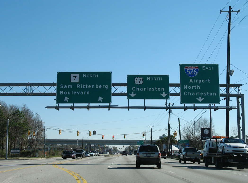
An array of businesses line both sides of U.S. 17 (Savannah Highway) within the vicinity of the partial interchange with Interstate 526 (Mark Clark Expressway). Photo taken 11/12/06.
West End – Past Views
Past Views Gallery (Tap to Expand / Collapse Section)
West at
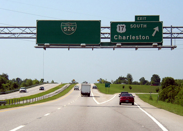
An original button copy guide sign for the west end of Interstate 526. Photo taken 01/18/04.
References
- Case Studies: Cooper River Bridge Fact Sheet. Cornell University. Retrieved from http://www.cee.cornell.edu/academic/case_studies/cooper/index.cfm
- "Spartanburg officials joyous over decision." Herald-Journal (Spartanburg, SC), June 21, 1992.
- "SCDOT Commission approves revised I-526 contract." The Post and Courier (Charleston, SC), December 5, 2013.
- "SCDOT Commission approves I-526 completion project." WCBD-TV2 (Charleston, SC), December 5, 2013.
- "State's Praises Often Hit the Road S.C. has Traditiion of Naming Roads." The State (Columbia, SC), February 12, 1996.
- "Just Like Legos U.S. 17 in Mt. P. to close 5 nights for I-526 overpass installation. The Post and Courier (Charleston, SC), May 14, 2012.