Interstate 381 Virginia
Overview
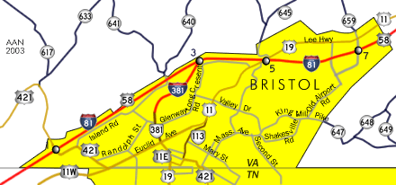
With no mainline interchanges, Interstate 381 constitutes a 1.67 mile long freeway spur from I-81 west of Virginia Heights to Commonwealth Avenue north of Downtown Bristol, Virginia. Unsigned Virginia State Route 381 extends 1.21 miles south along Commonwealth Avenue from the freeway end at Keys Street to the Tennessee state line.
Mileage by State
| Virginia | 1.39 mi |
Data Sources
December 31, 2025 Interstate Route Log and Finders List
History
The spur into Bristol was part of the Virginia Department of Highways proposed Interstate Urban Area Numerology sent to the American Association of State Highway Officials (AASHO) on April 7, 1958. The urban connections for the five areas in Virginia were initially identified with a prefix of U. The stub into Bristol was assigned Interstate U1. U2 was the predecessor for I-581 in Roanoke and U3, U4 and U5 were assigned to Hampton Roads.
The Virginia Department of Highways and AASHTO Route Numbering Committee eventually came into agreement on properly designated Interstate route numbers. Interstate 381 was one of seven urban area routes in Virginia outlined to AASHO on July 16, 1958. These were approved on November 10, 1958.
Interstate 381 was constructed along with a six mile section of I-81 between U.S. 11W by the Tennessee state line and U.S. 11/19 (Lee Highway) in Bristol, Virginia. Costing $7 million, the two sections of Interstate Highway opened to traffic on November 20, 1961 (The Progress Index, 1961).
Widening of Interstate 81 at the north end of I-381 was completed by 1998. Signs for Virginia Route 381 along Commonwealth Avenue south to U.S. 11/19/421 at Euclid Avenue were removed by 2005. Traffic lights were added at I-381 south with Keys Street west and Church Street east by 2007.
North End 
 ‐ Bristol, VA
 North at
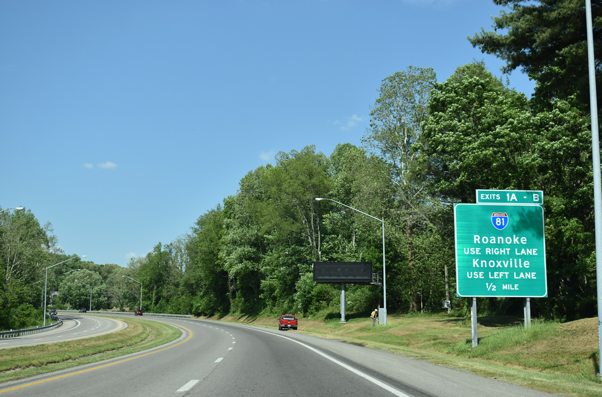
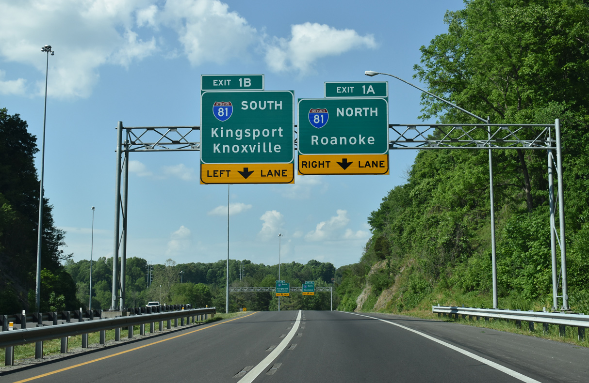
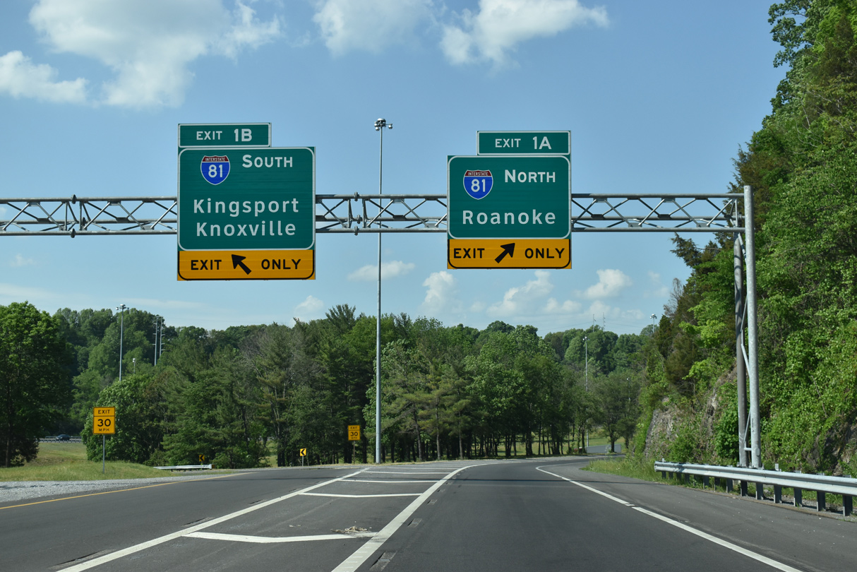
Interstate 381 curves northeast beside the Autumn Ridge subdivision to the directional T interchange (Exit 1) with I-81/U.S. 58. 05/26/21
North East at
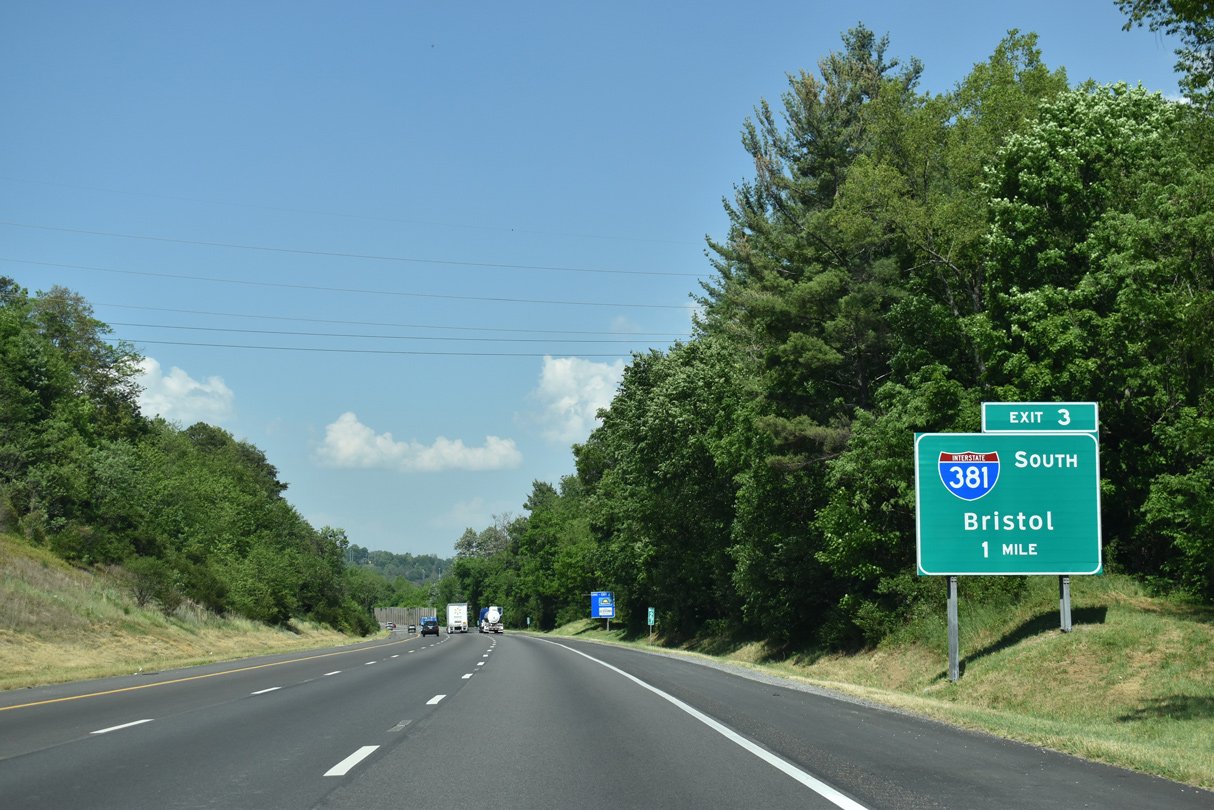
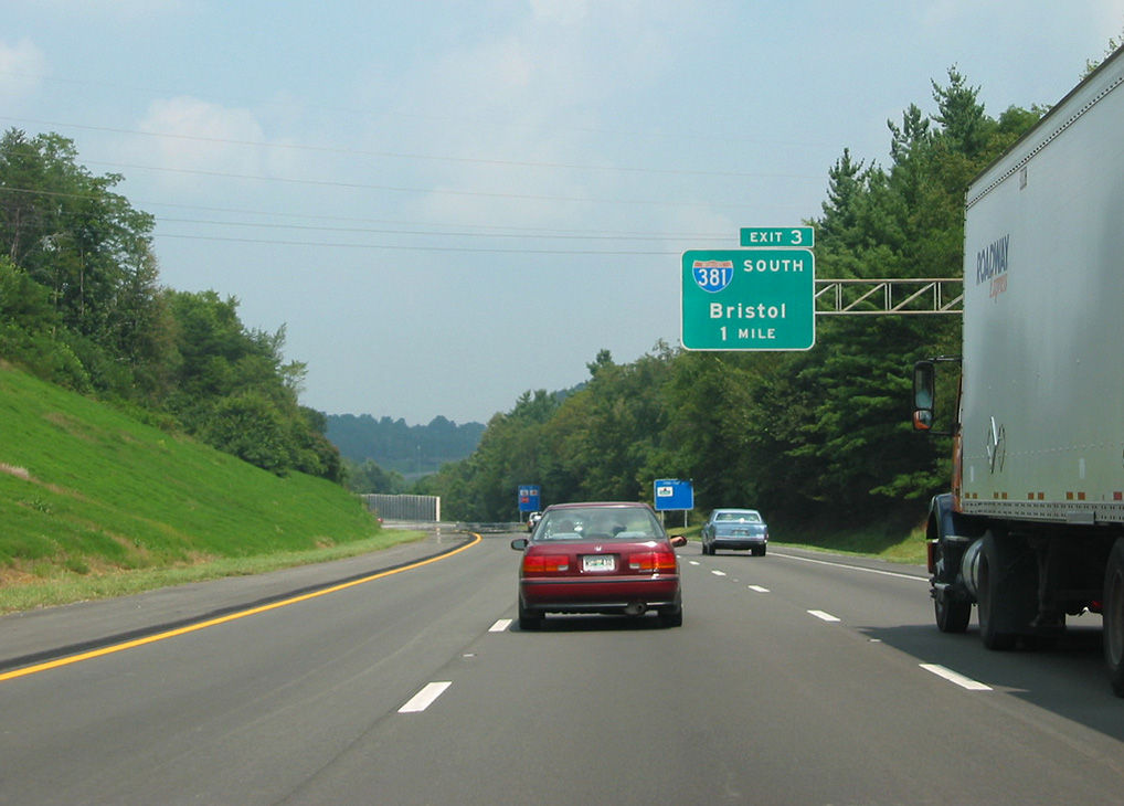
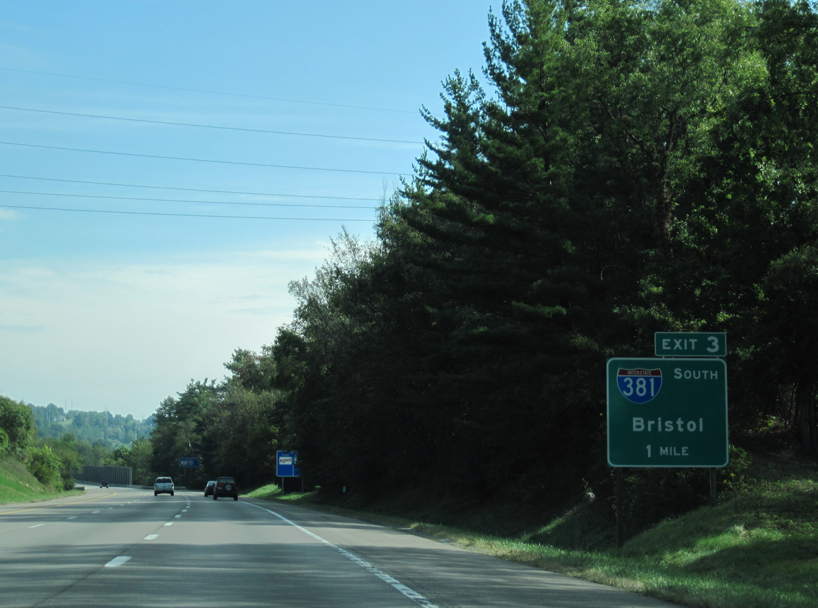
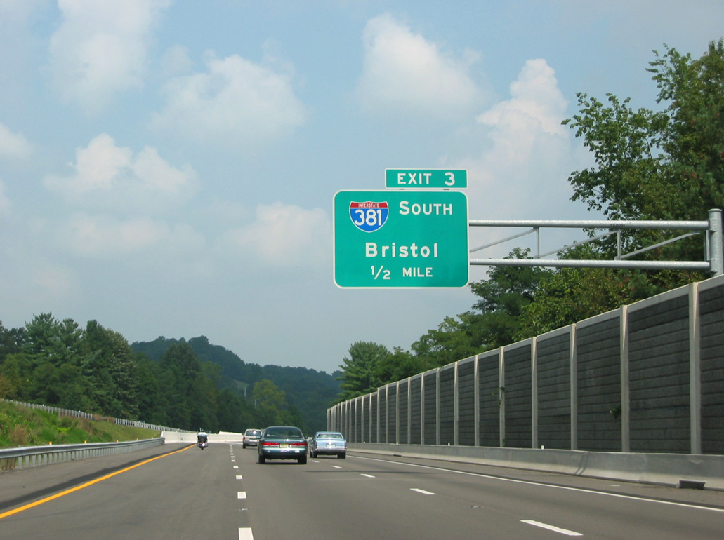
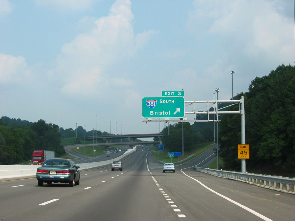
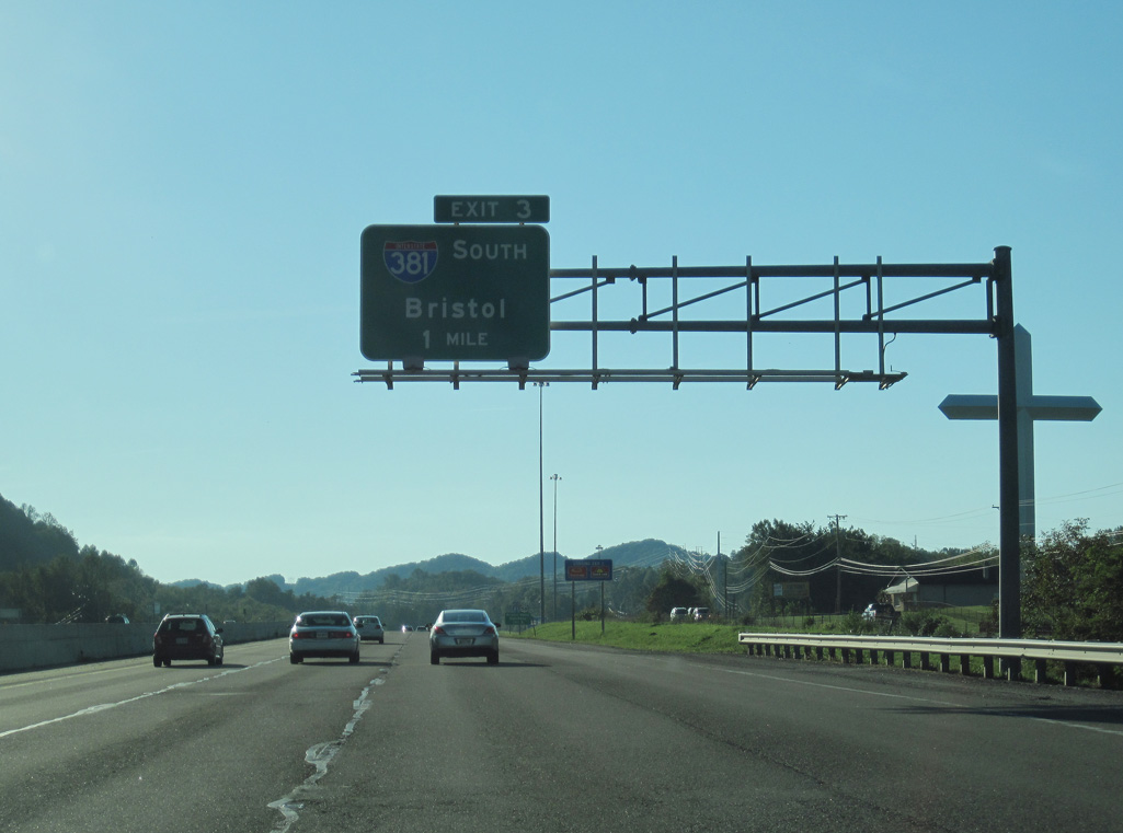
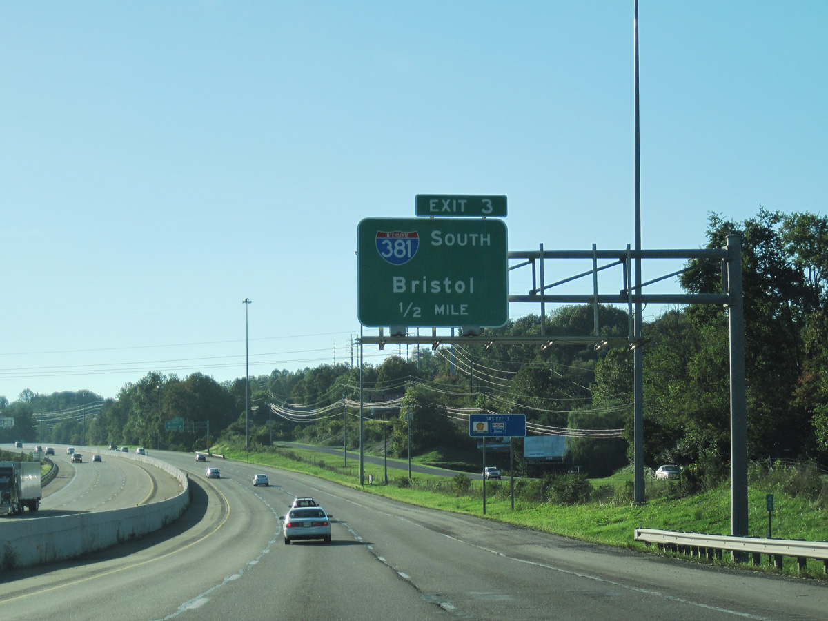
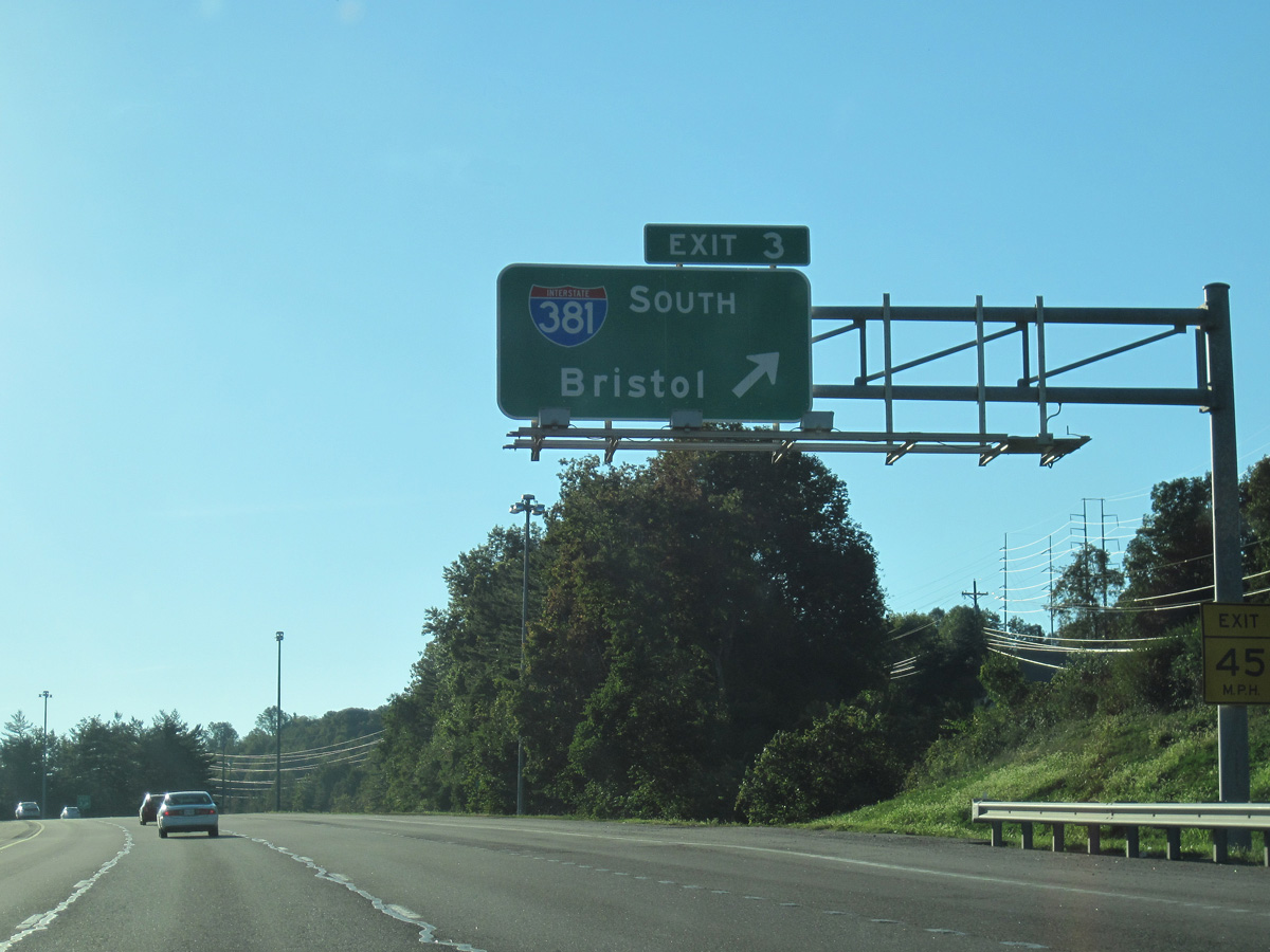
I-81/U.S. 58 straddle the Bristol city line northeast between Clayman Ridge and the Belle Meadows community to Exit 3 with I-381 south. 05/26/21
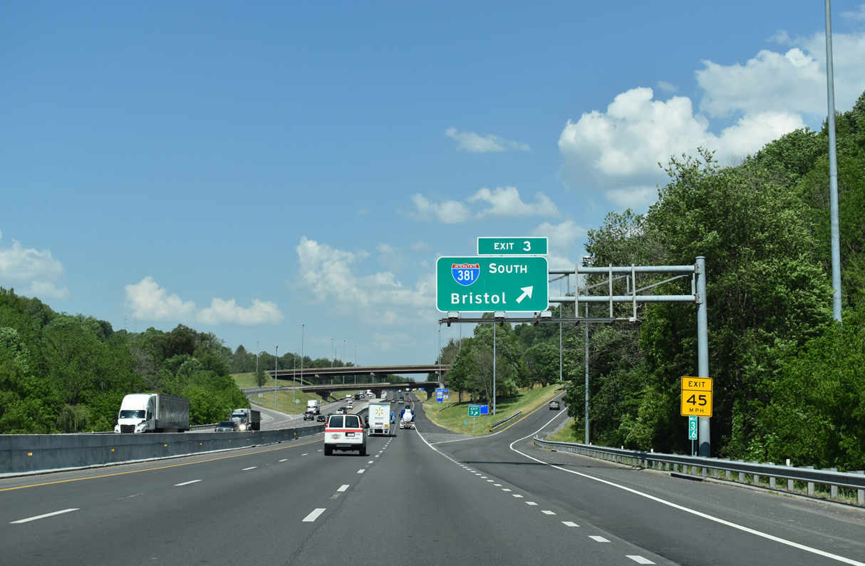
South West at
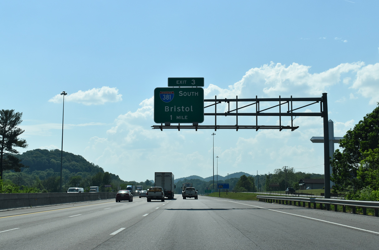
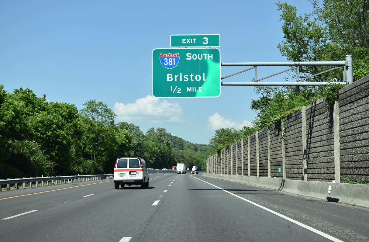
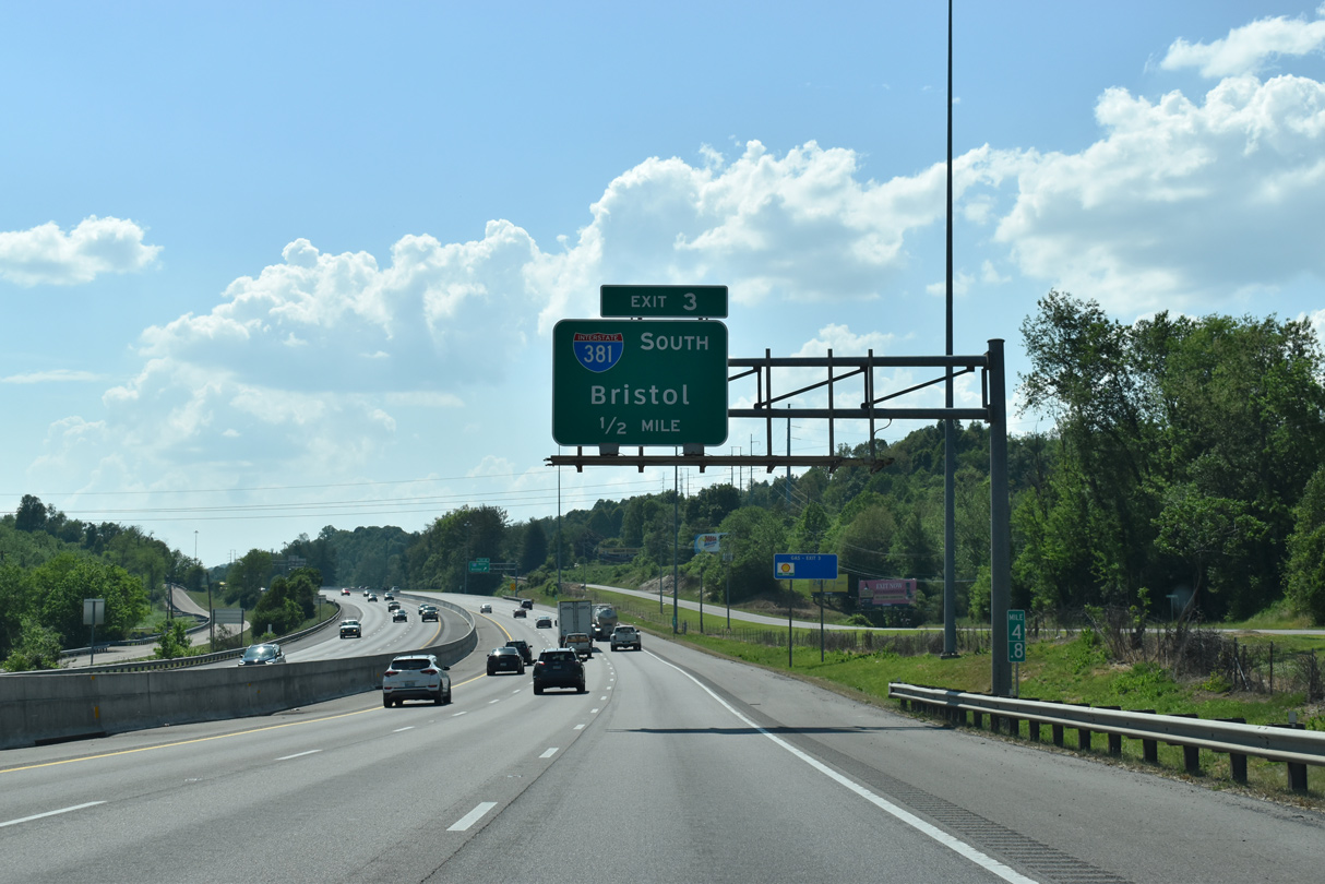
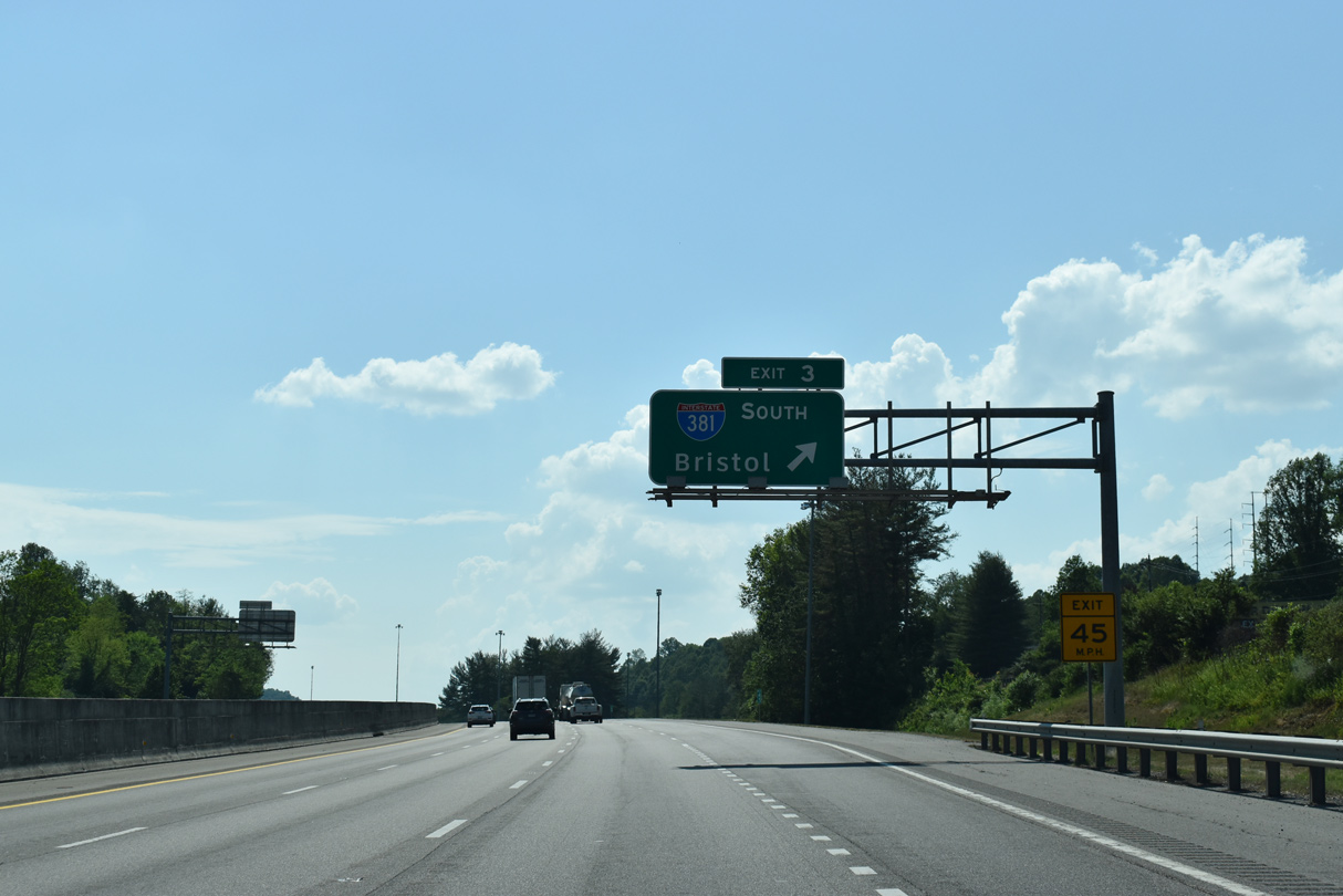
I-81/U.S. 58 advance west from U.S. 11/19 (Lee Highway) by The Falls retail complex in north Bristol to Exit 3 for Interstate 381 south. 05/26/21
North End – Past Views
Past Views Gallery (Tap to Expand / Collapse Section)
at
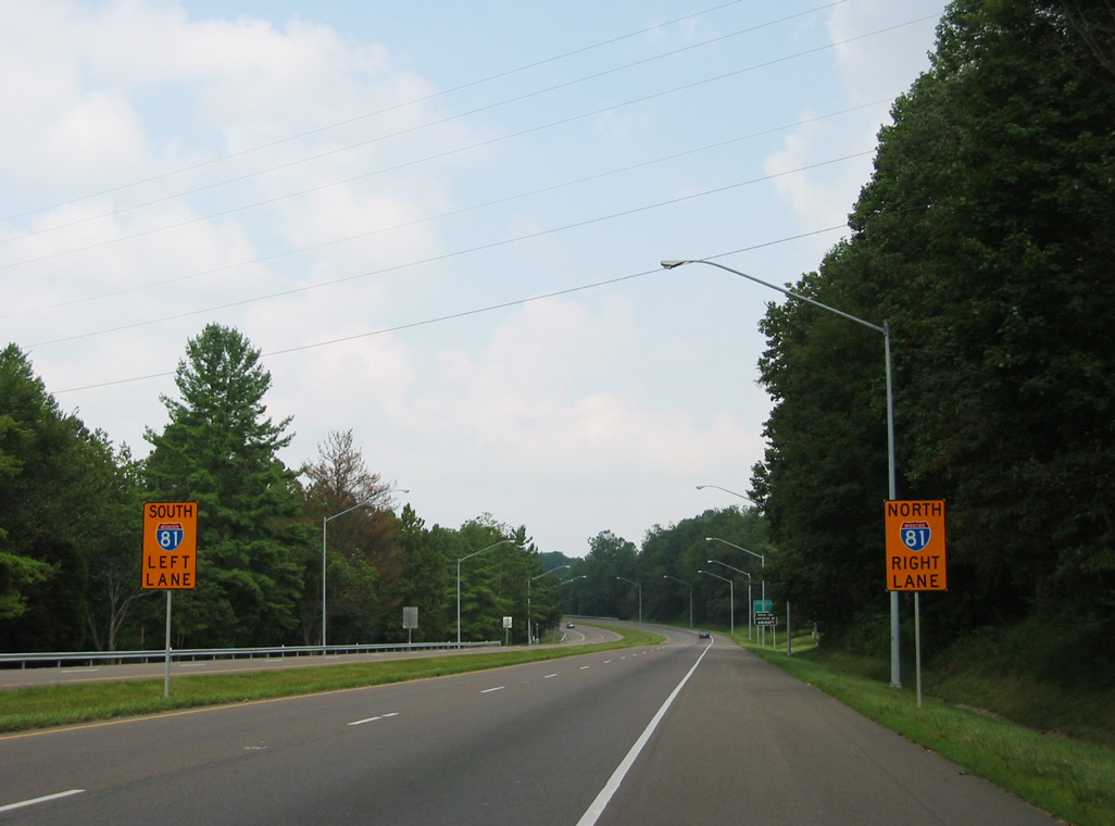
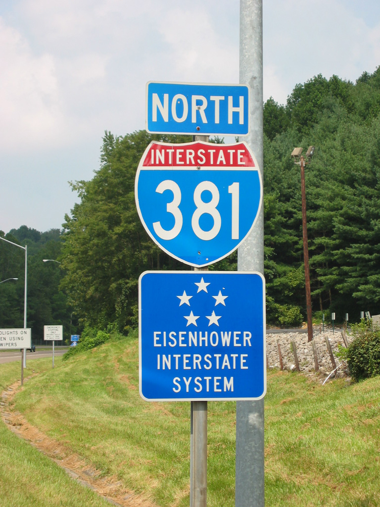
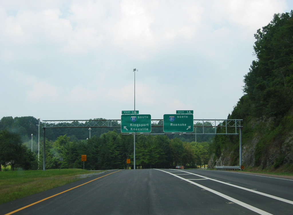
Replaced regulatory signs for Interstate 81. 08/23/03
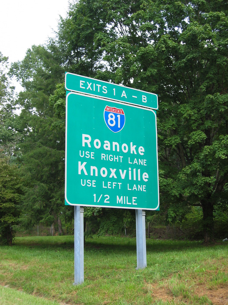
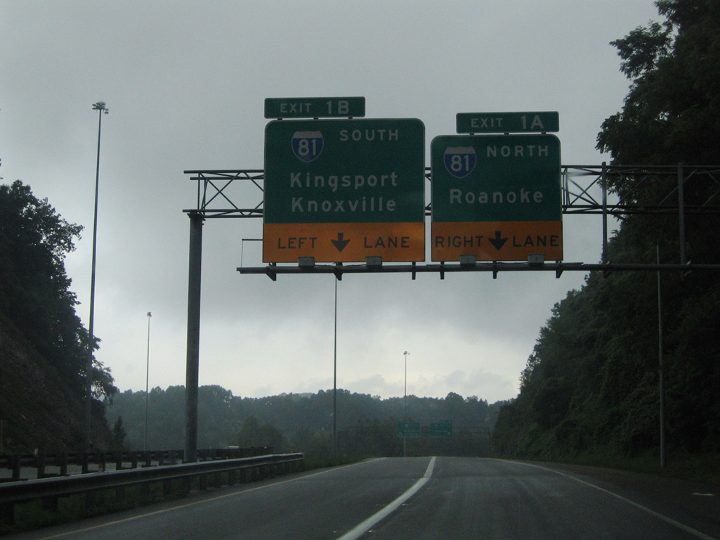
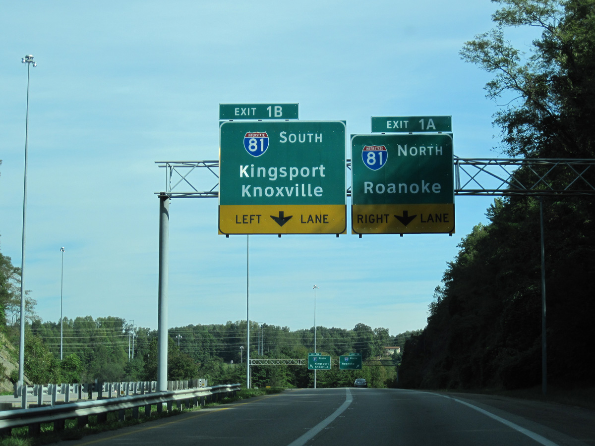
South End  ‐ Bristol, VA
South at Commonwealth Avenue
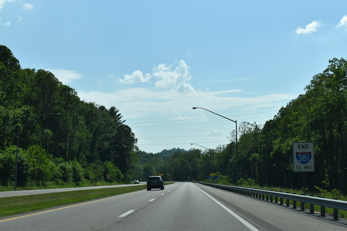
Interstate 81 travels northeast from Bristol to Wytheville, where it combines with I-77, Christiansburg and Roanoke. Southwest into Tennessee, I-81 runs between Johnson City and Kingsport to I-40 near Dandridge. 05/26/21
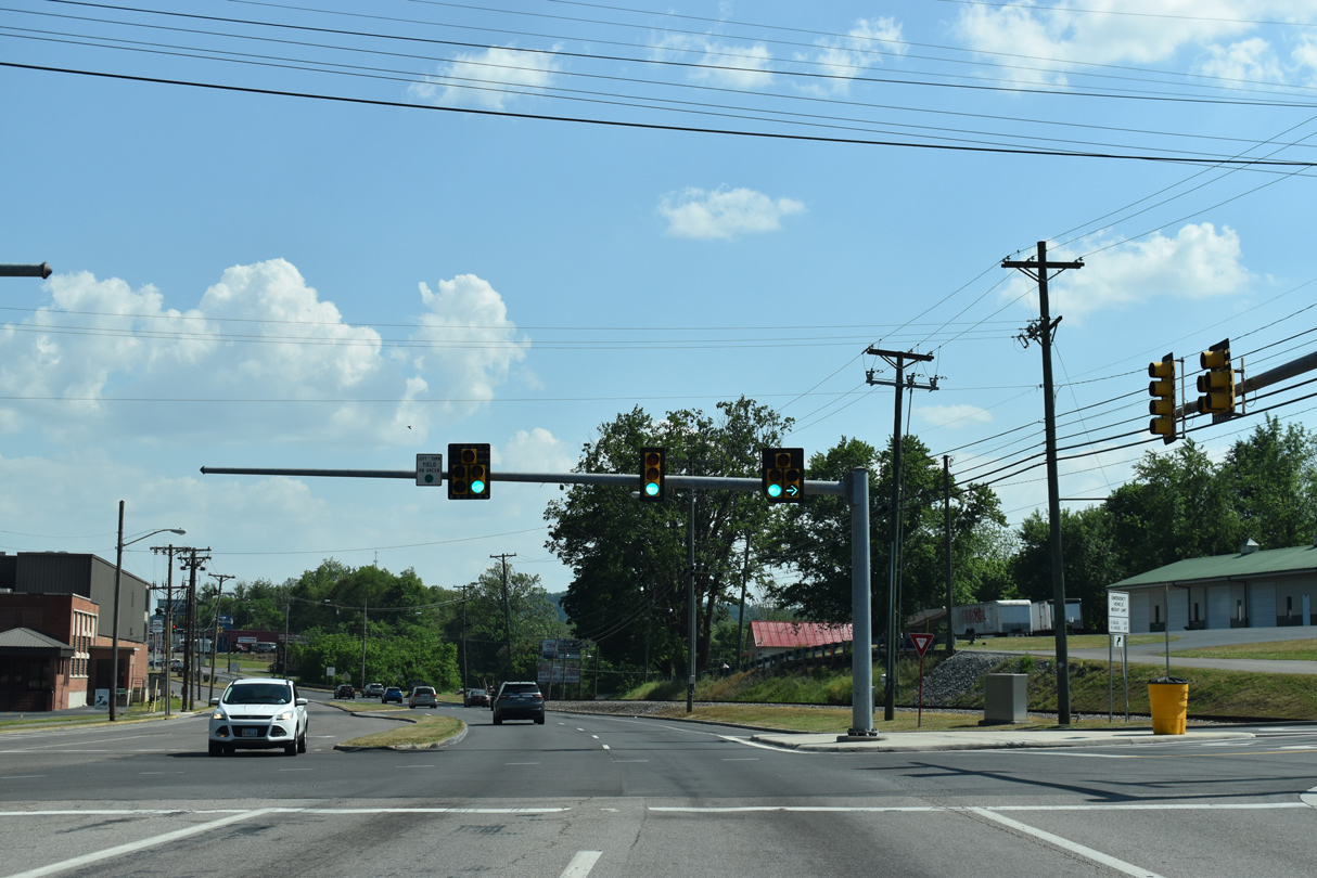
Commonwealth Avenue - North at
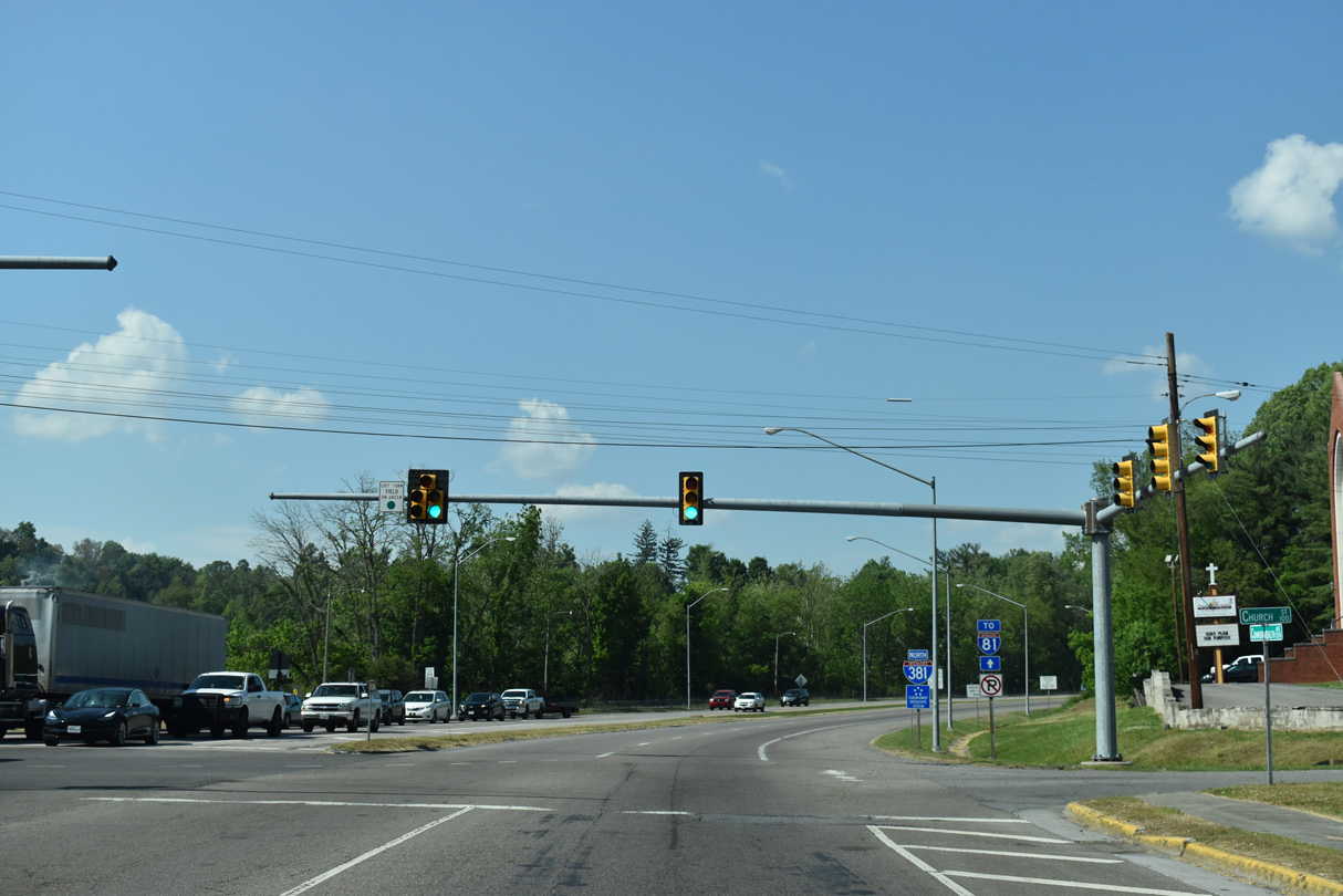
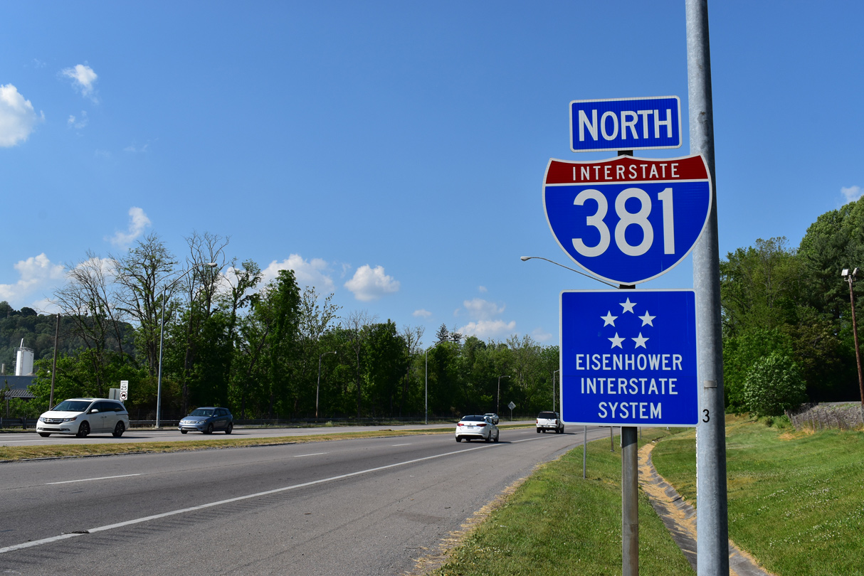
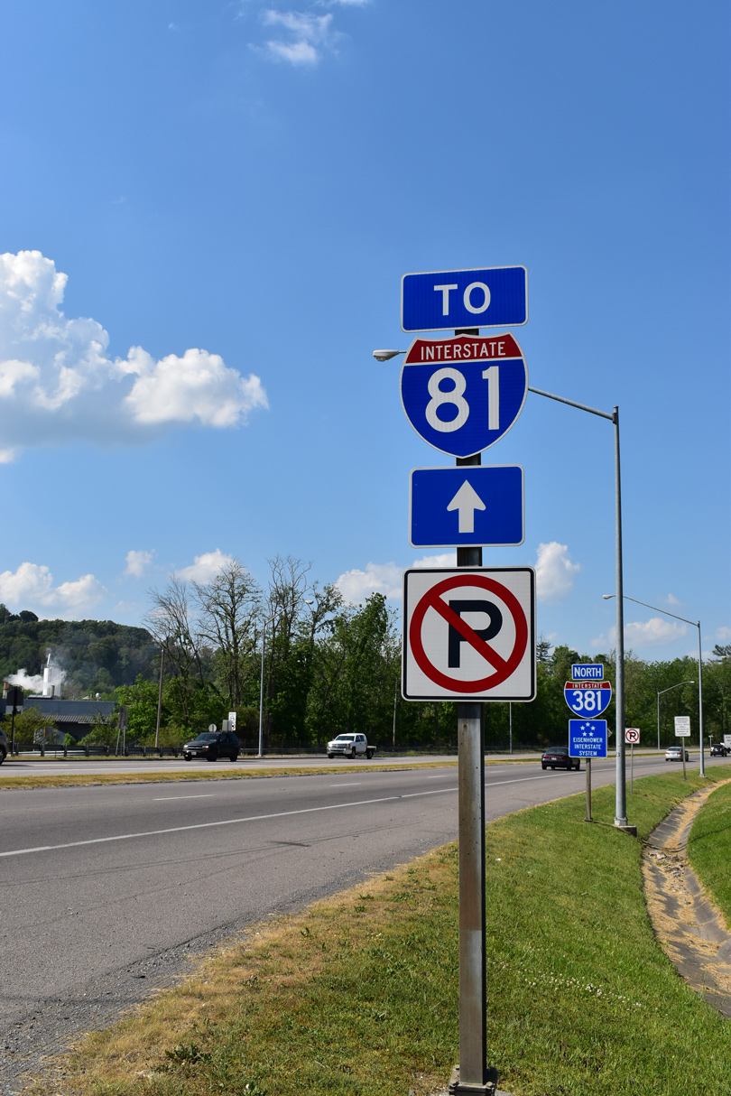
Commonwealth Avenue (SR 381) transitions into Interstate 381 at the third traffic light north of U.S. 11/19/421 at Euclid Avenue. 05/26/21
South End – Past Views
Past Views Gallery (Tap to Expand / Collapse Section)
at Commonwealth Avenue
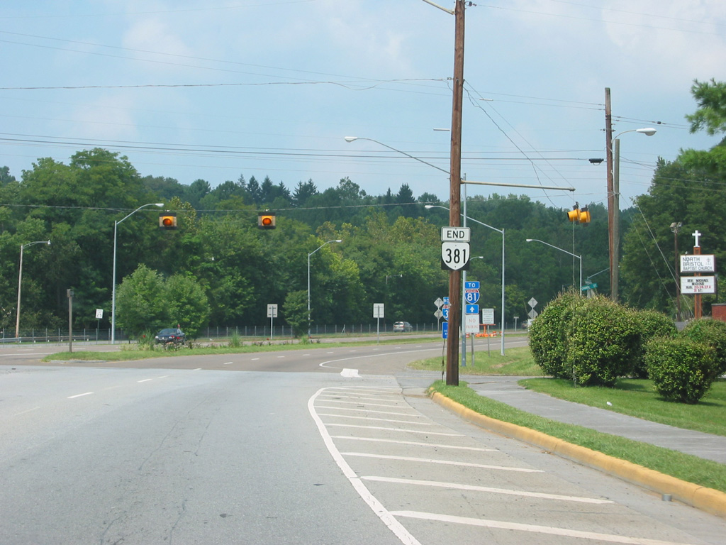
An end shield was formerly along Commonwealth Avenue north at Church Street and Interstate 381. 08/23/03