
Interstate 270 Missouri / Illinois
Overview
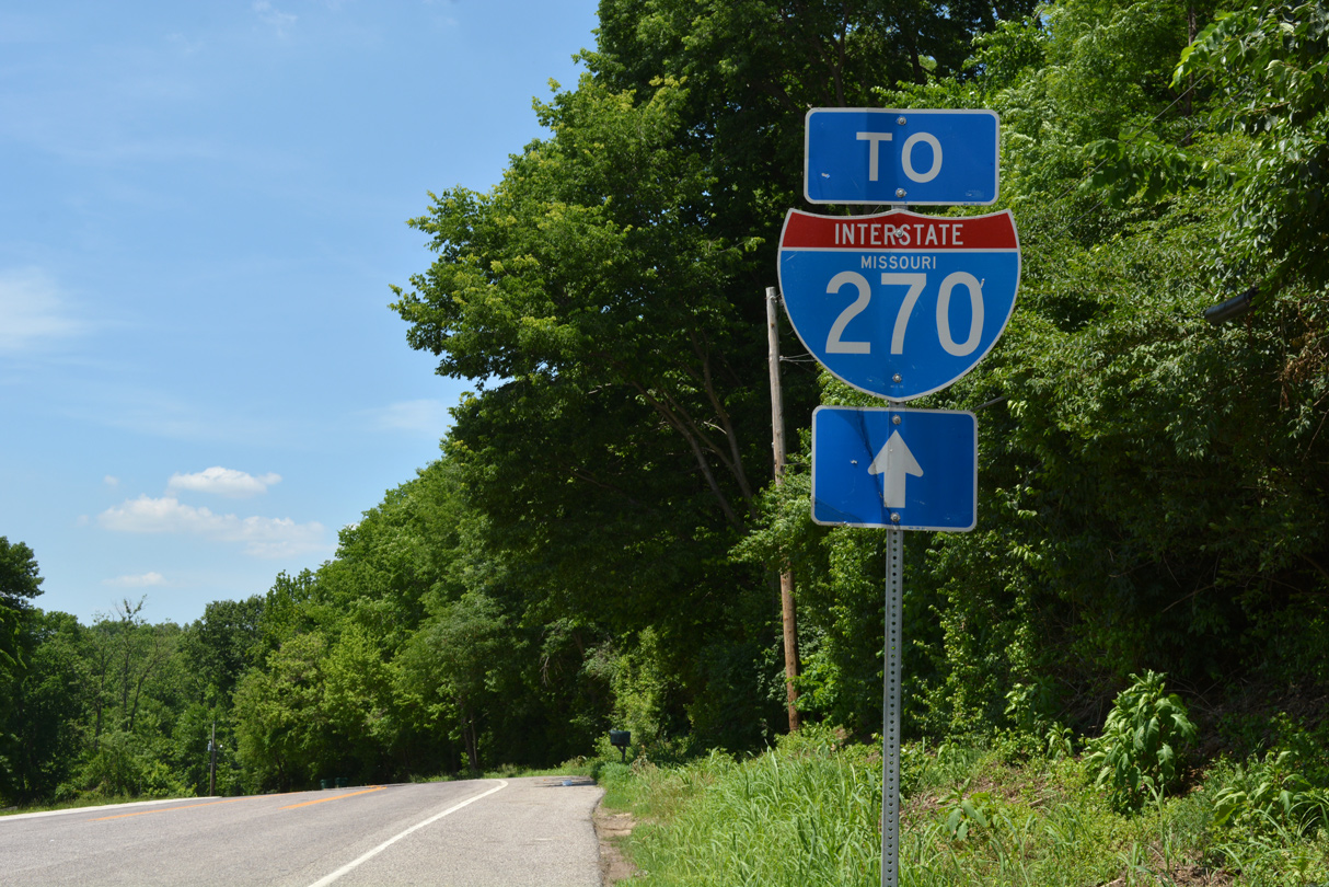
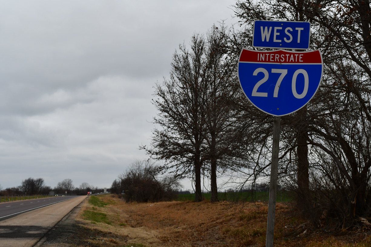
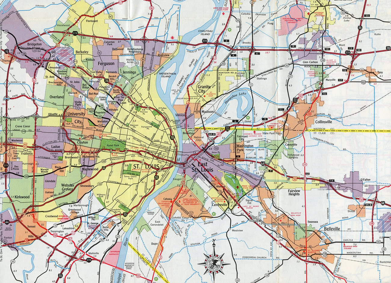
I-270 and I-255 comprise the outer belt freeway system of the St. Louis metropolitan area. Interstate 270 begins at the exchange with I-55/255 south of St. Louis near Mehlville. Northward from there, the freeway loops through Sunset Hills, Kirkwood and Creve Coeur among other St. Louis County suburbs to Interstate 70 at Bridgeton.
The northern leg of I-270 extends from Bridgeton through Hazelwood, Florissant and Bellefontaine Neighbors to the Chain of Rocks Bridge over the Mississippi River. Crossing into Madison County, Illinois, I-270 navigates along a causeway on Chouteau Island to Chain of Rocks Canal and northern reaches of Granite City. With a rural design, I-270 continues east to Pontoon Beach and Glen Carbon, converging with I-70 at I-55 near Troy.
Mile posts along Interstate 270 increase from zero at I-55 and I-255 in south St. Louis County to 34 at the Mississippi River. Illinois restarts the count at zero at the Missouri state line and continues to 15 at I-55/70. Despite Interstate 70 meeting the east end of I-270 at around milepost 19, the numbering sequence from I-270 extends east along I-70.
Mileage by State
| Missouri | 35.62 mi |
| Illinois | 14.97 mi |
Data Sources
December 31, 2021 Interstate Route Log and Finders List
History
The Urban Route Numbering proposals submitted to the American Association of State Highway Officials (AASHO) on July 31, 1958 outlined three numbers for the St. Louis beltway system:
- Interstate 144 for the Southwest Beltway, from I-55 north to I-70.
- Interstate 255 for the Easterly route to the Illinois state line at the Mississippi River.
- Interstate 270 for the North Beltway from I-70 east to the Chain of Rocks Bridge.
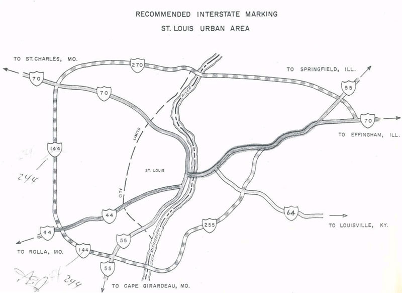
With Interstate 144 changed to I-244 since it formed part of a loop, AASHO approved the Interstate Route Numbering for Missouri on November 10, 1958.1
Named the Circumferential Expressway, the quadrant of I-270 between I-55 at Mehlville and I-70 at Champ remained signed as Interstate 244 until 1974. The route was renumbered as an extended I-270 to alleviate motorist confusion.2 The final segment for I-244, Olive Boulevard (Route 340) and I-70, was dedicated on May 20, 1967.3
The same actions approved by the American Association of State Highway and Transportation Officials (AASHTO) on June 25, 1974 to renumber I-244 included the renumbering of I-255 to I-270 as well. The southeast loop changed back to Interstate 255 in 1979. AASHTO approved the redesignation, subject to concurrence from the Federal Highway Administration (FHWA concurrence), on June 25 of that year.
The cloverleaf interchange joining I-255 and I-270 with I-55 at Mehlville was upgraded to a cloverstack interchange from 1991 to 1994. Road construction included building collector distributor roadways along both sides of I-55 north to Lindbergh Boulevard (U.S. 50/67), where a diamond interchange was upgraded to a SPUI. The project addressed a weaving traffic pattern. Work continued through 1997 along I-270, with the beltway expanded northward from I-55 to I-44 to eight overall lanes.3
East End 
 ‐ Troy, IL
 East at
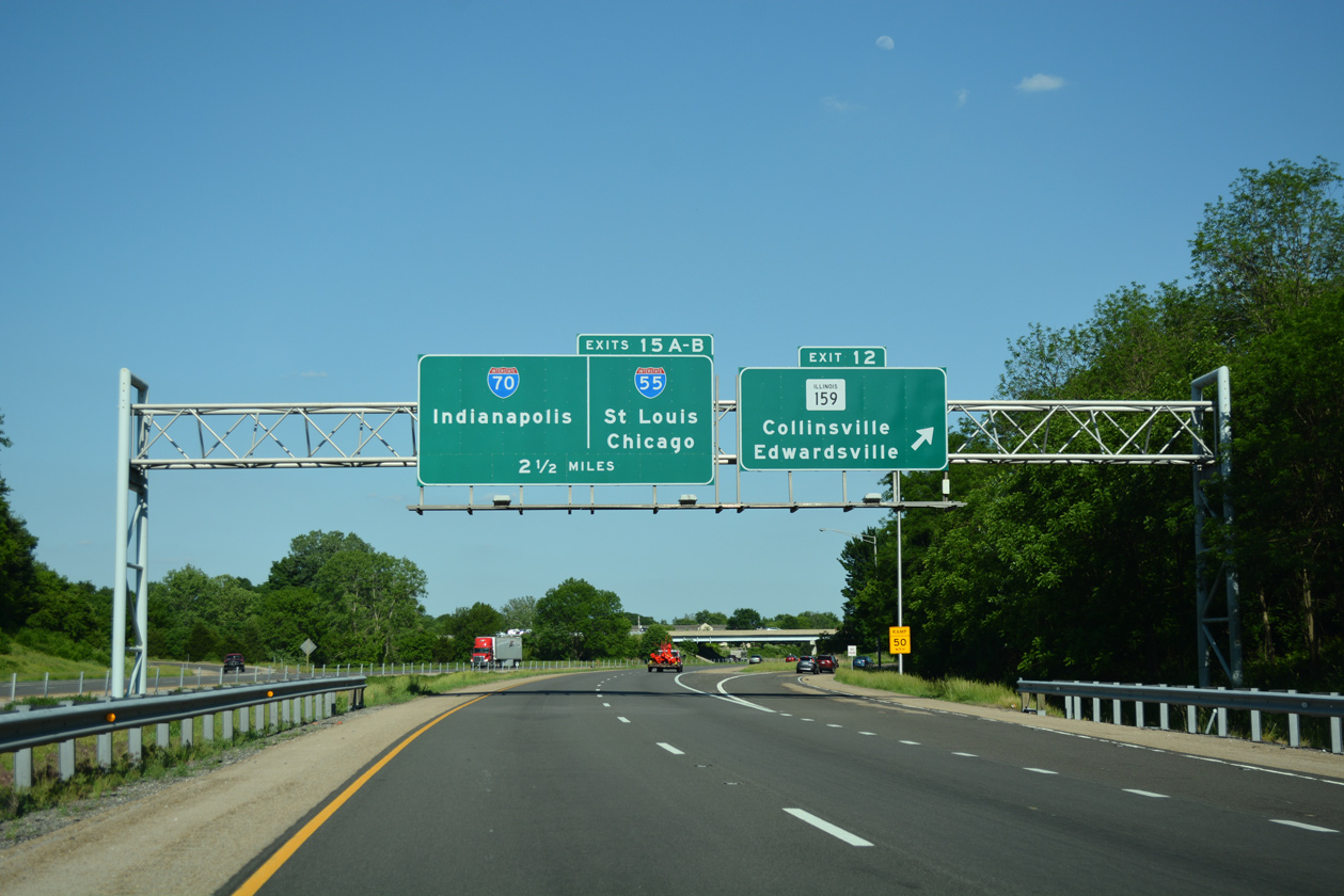
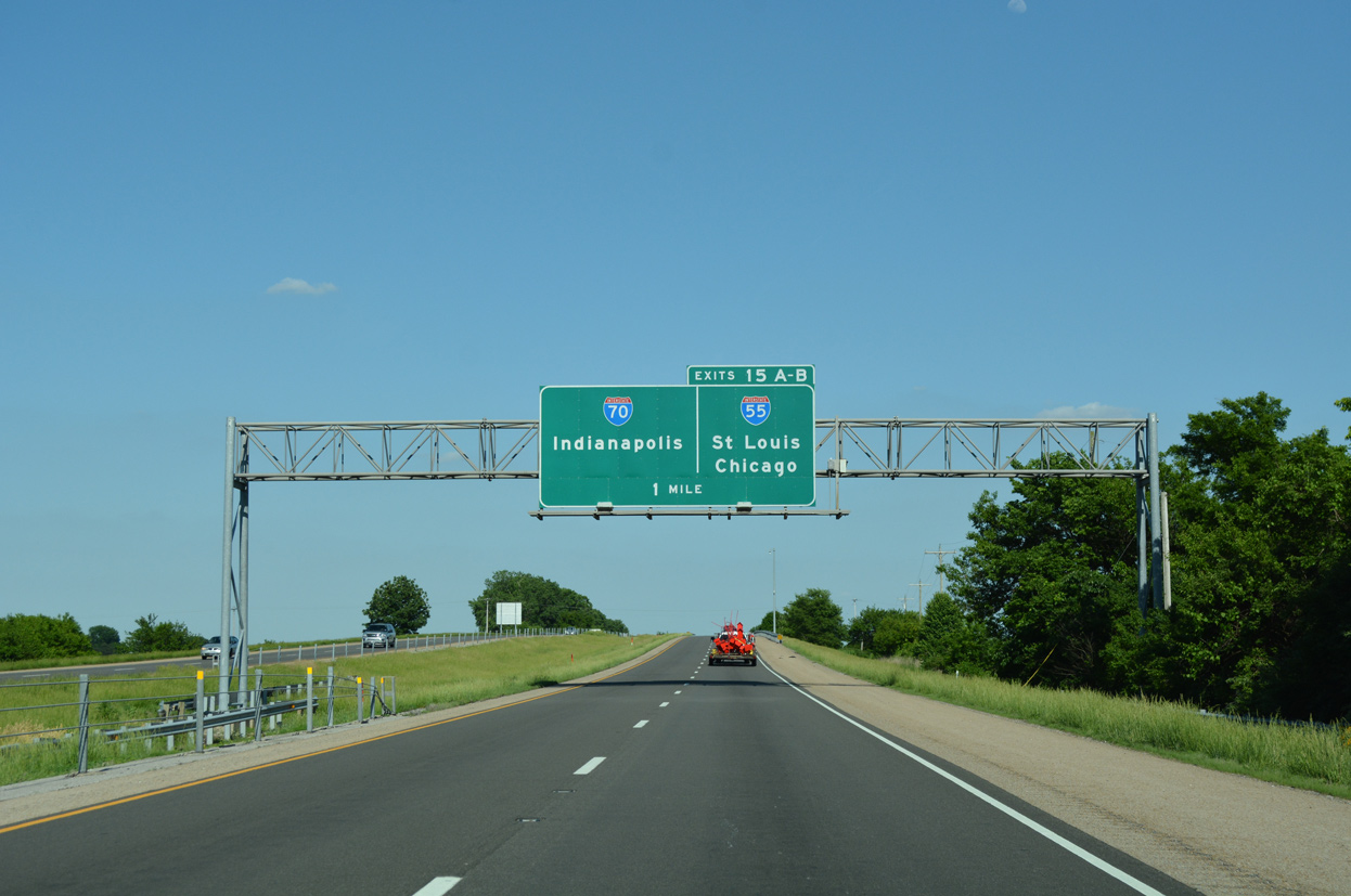
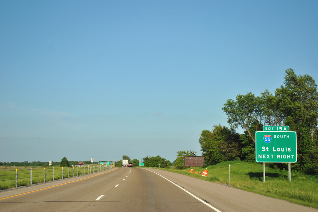
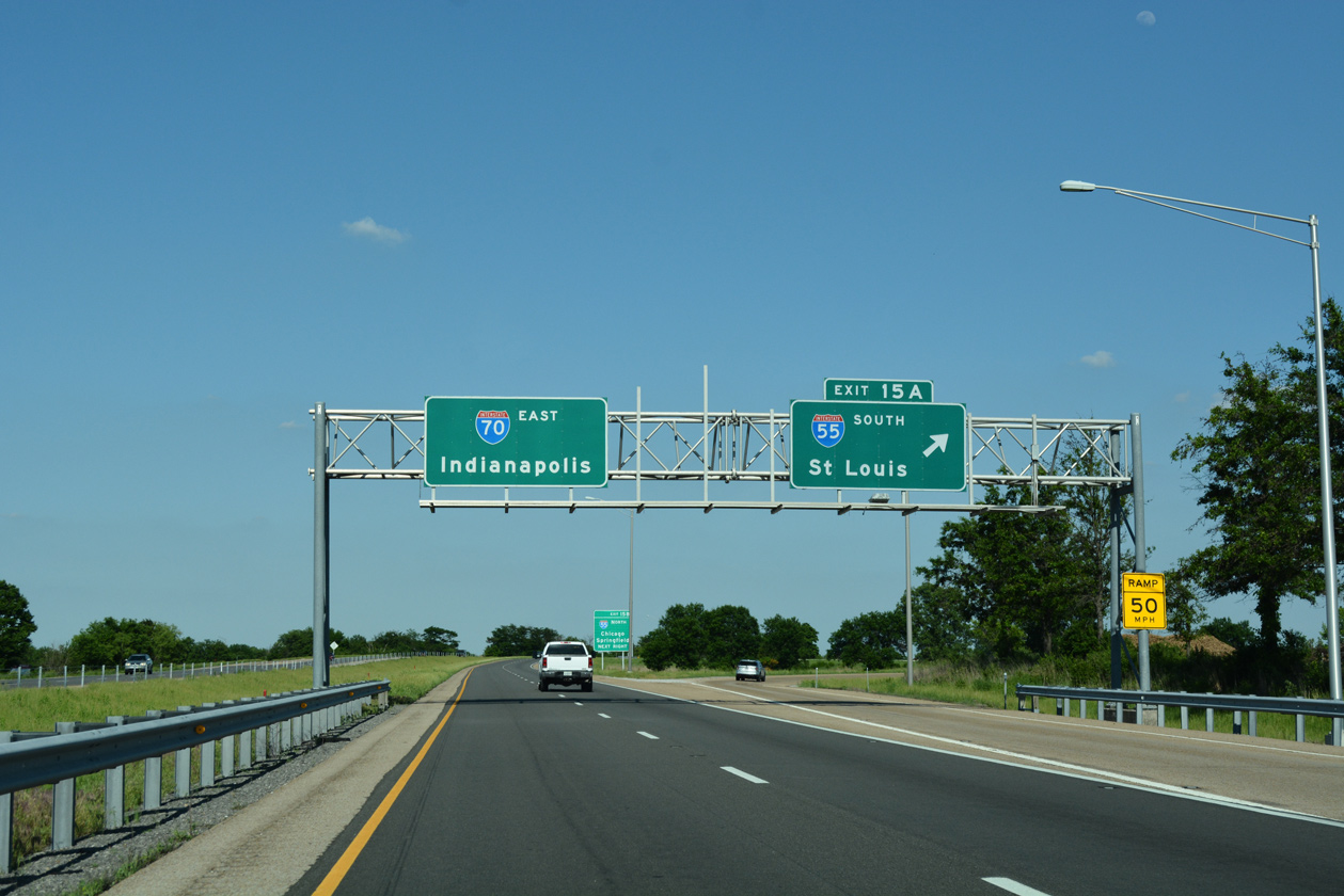
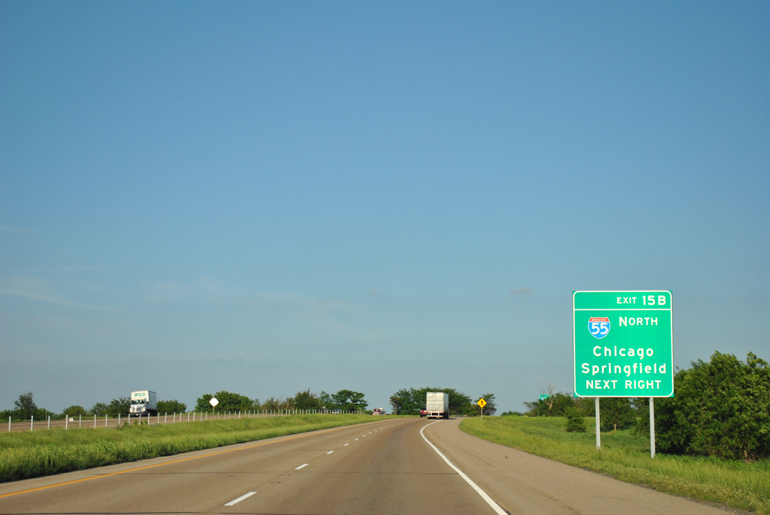
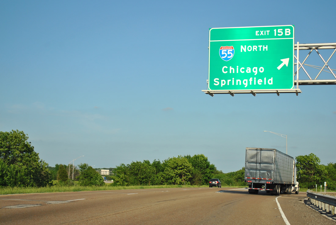
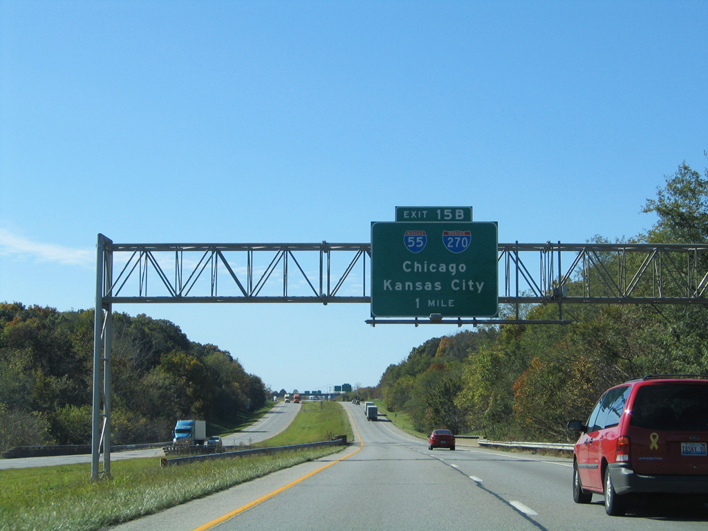
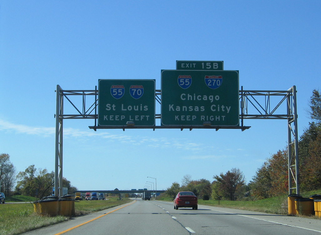
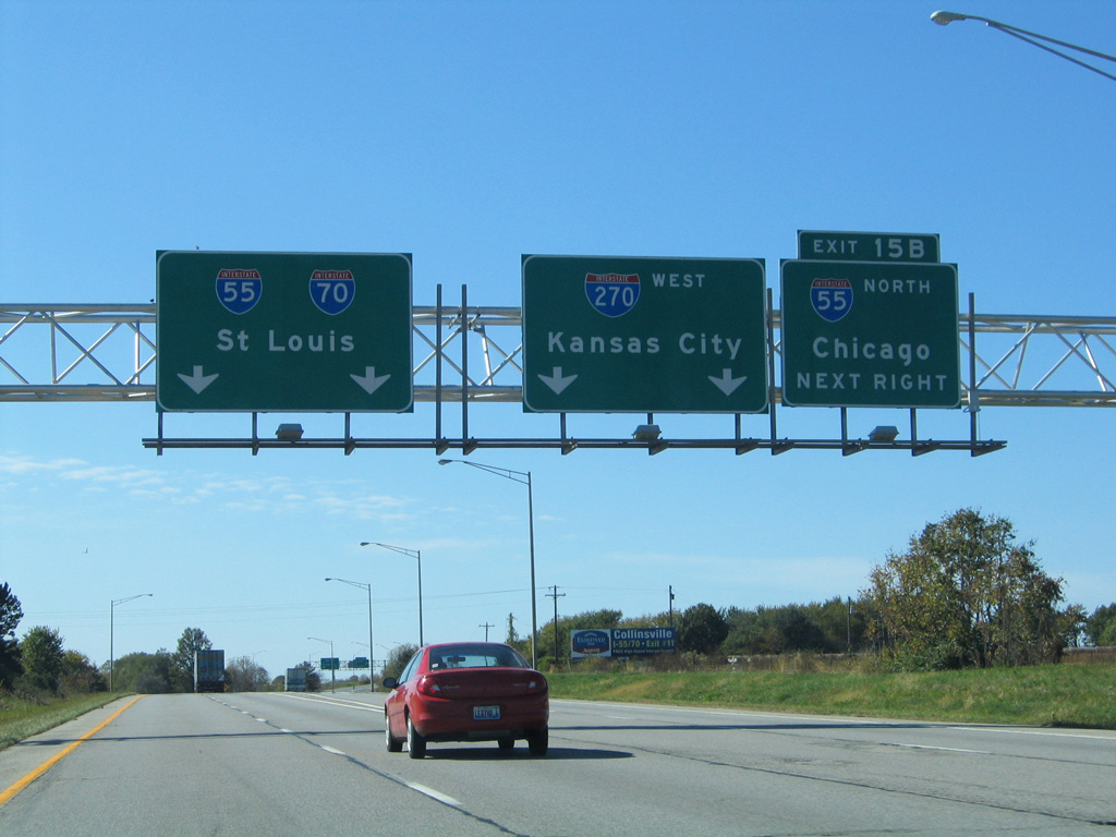
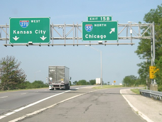
Eastbound I-270 at IL 159 to Edwardsville. The freeway proceeds 2.5 miles to Exit 15 with I-55/70 south and I-55 north. 05/24/18
West at
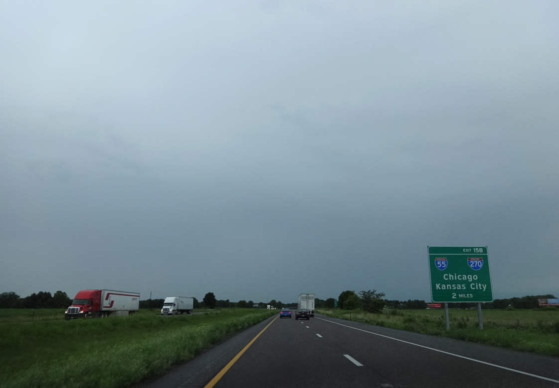
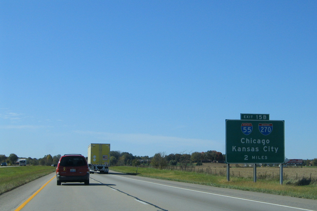
Westbound Interstate 70 two miles from I-55 and I-270 west. Photo by Eric Stuve (07/22/16).
South at
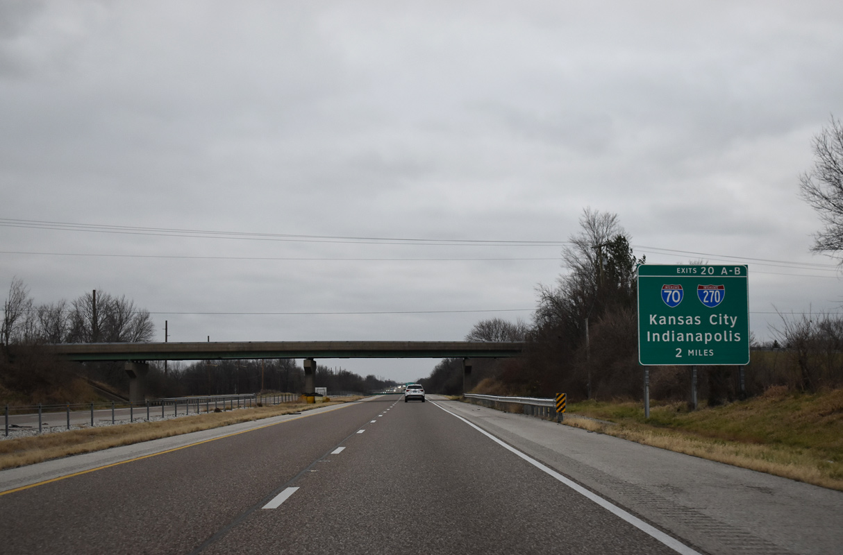
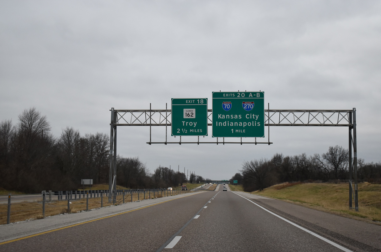
Interstate 55 heads south from eastern reaches of Edwardsville to meet both I-70 east and I-270 west at Exit 20. 12/31/23
North East at
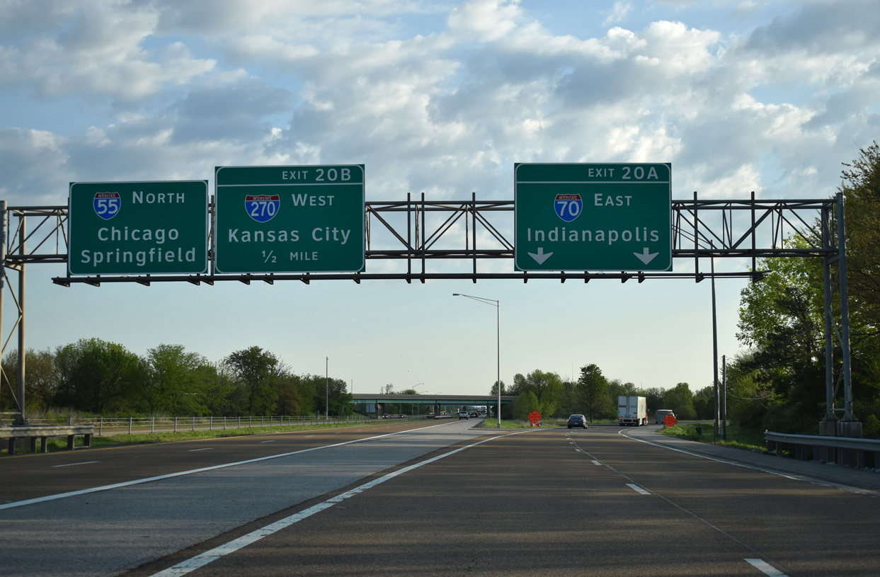
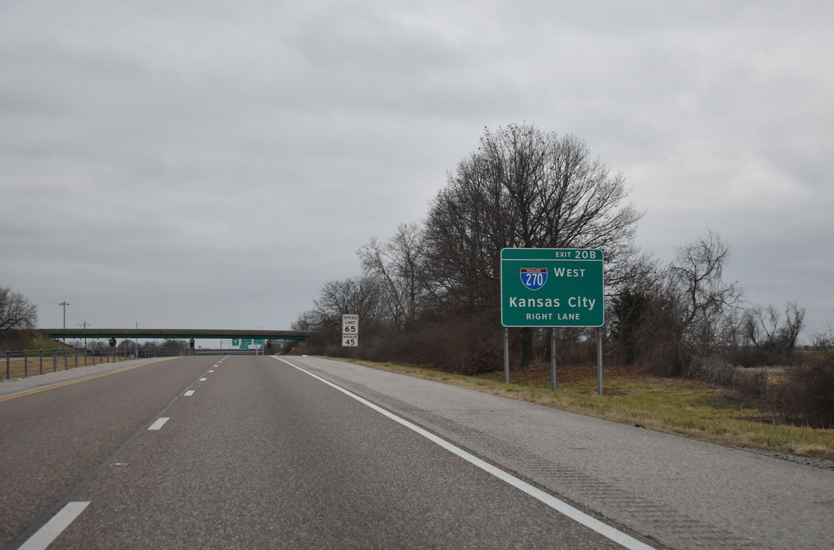
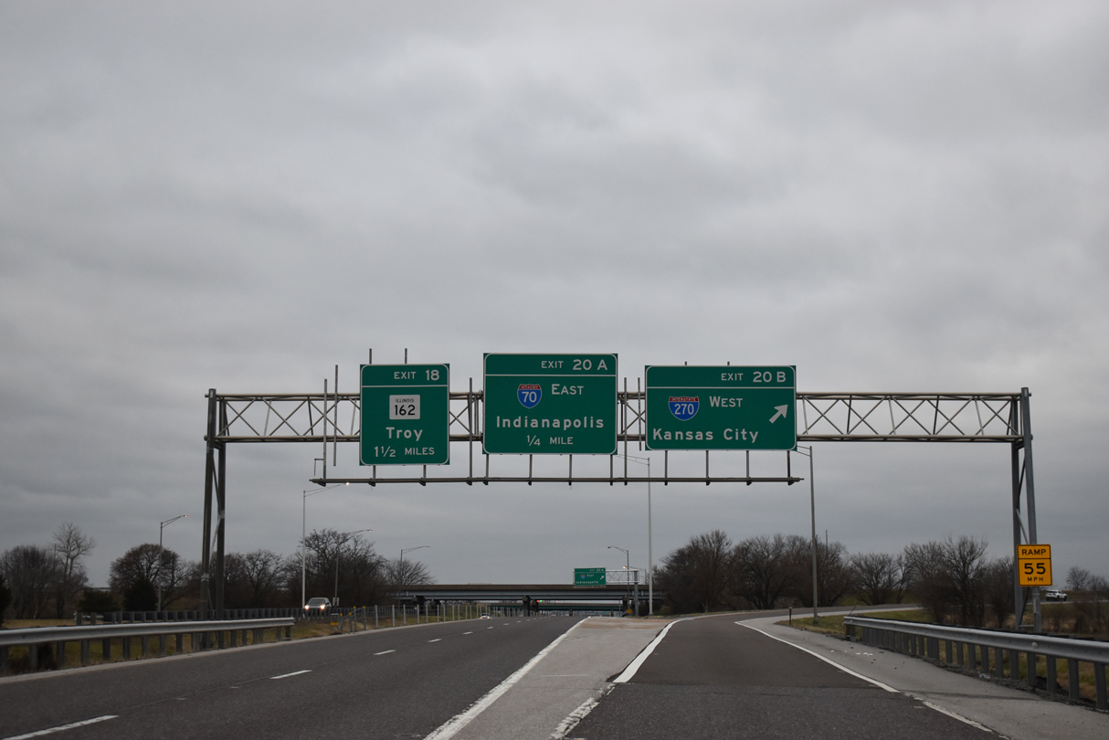
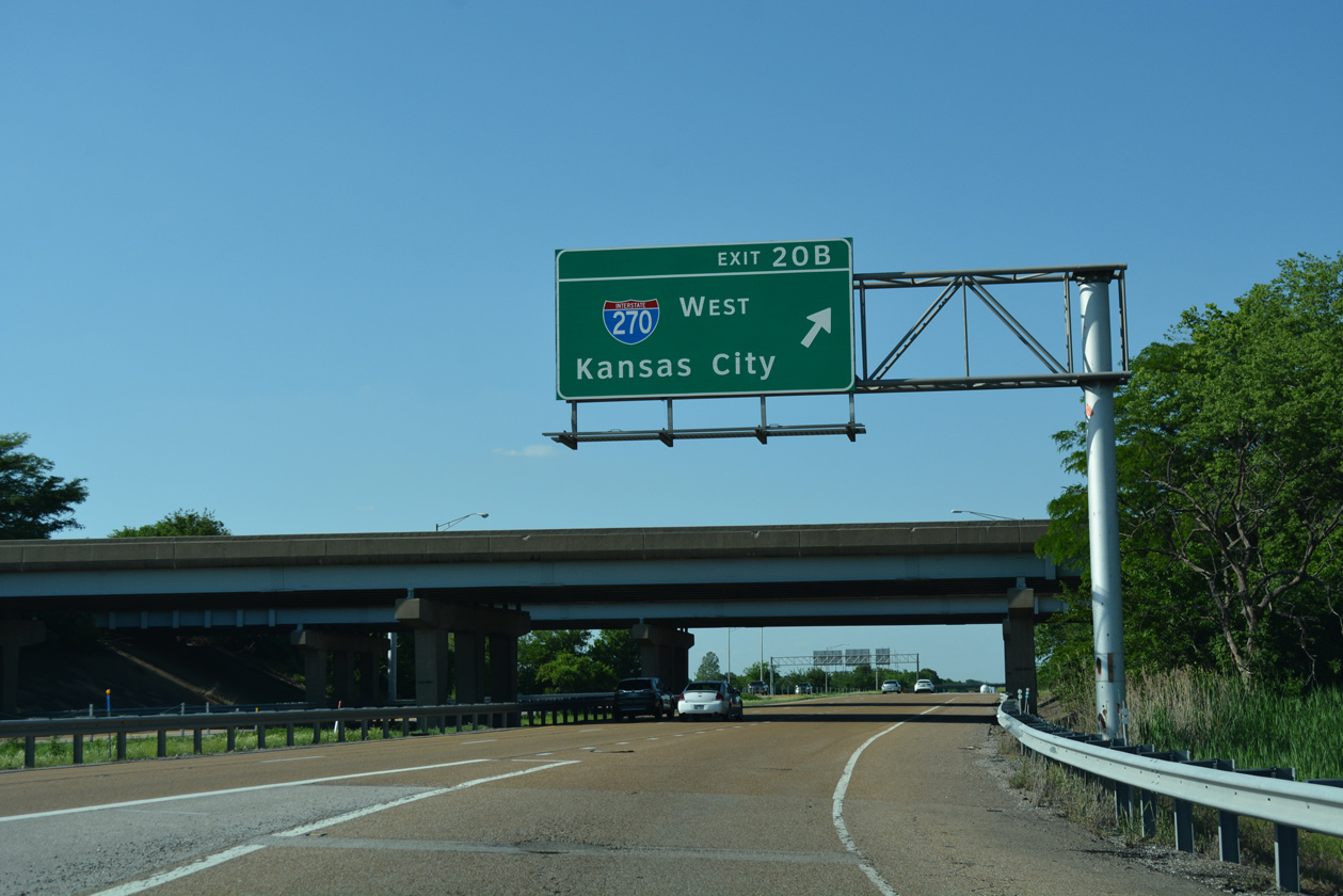
Interstate 55 northbound parts ways with I-70 eastbound at Exit 20A. Exit 20B loops away from I-55 north to I-270 a short distance to the north. 05/07/18
East End – Past Views
Past Views Gallery (Tap to Expand / Collapse Section)
South at
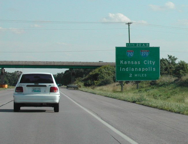
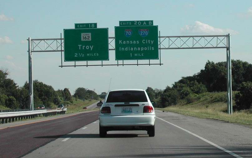
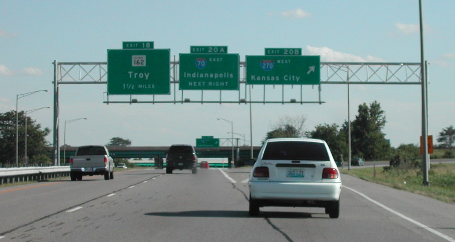
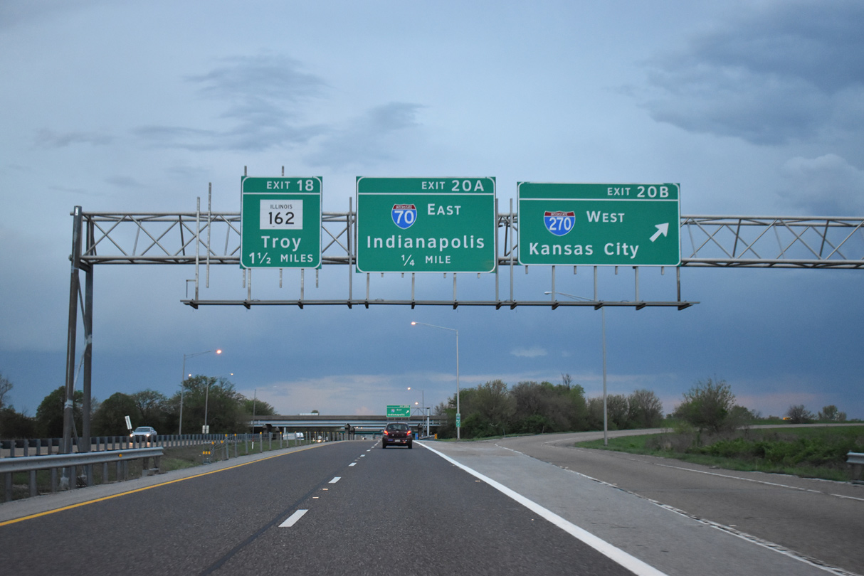
Two miles north of I-70 and I-270 west on I-55 south at the Goshen Road overpass. Photo by Brian Dowd (06/02).
South End ‐ Mehlville, MO
South at 
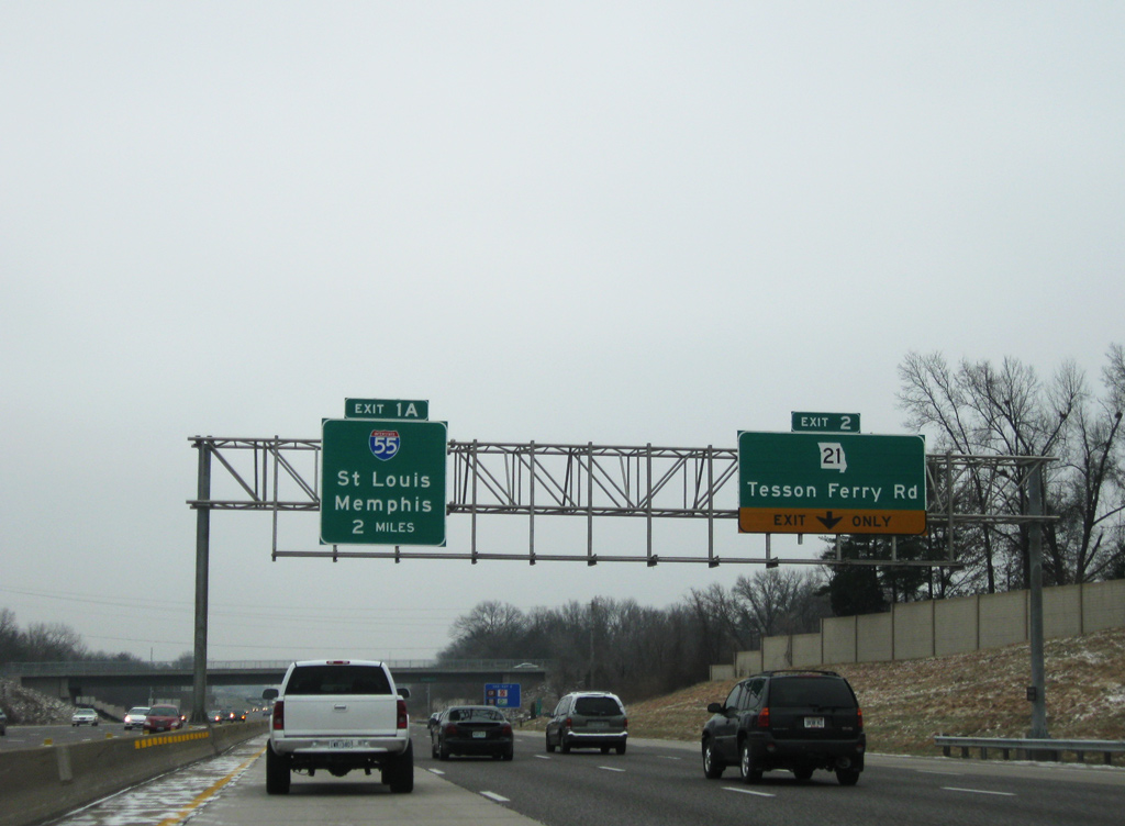
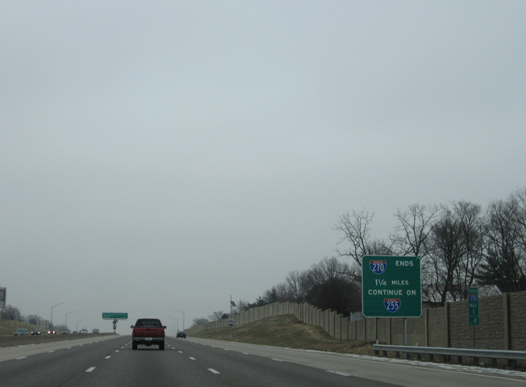
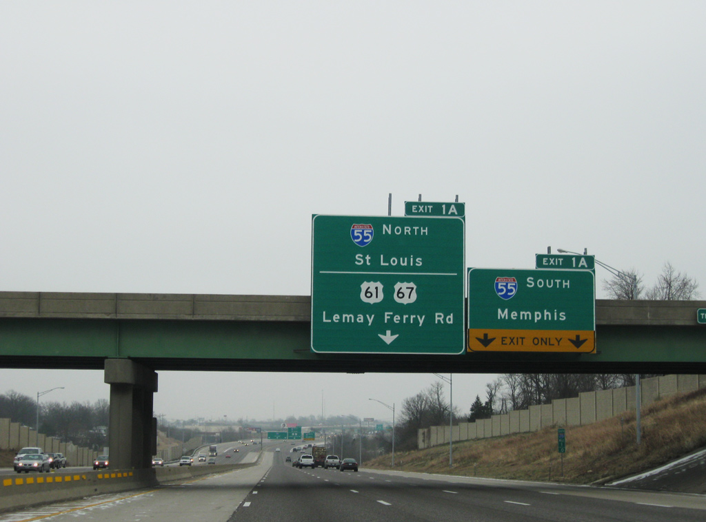
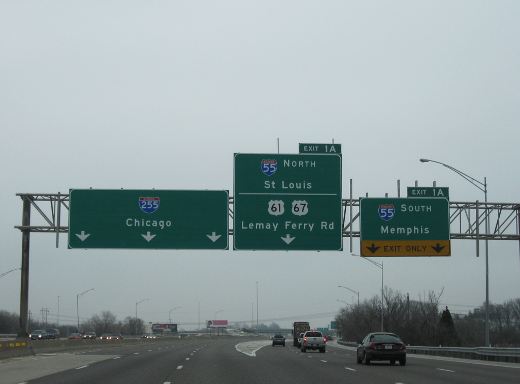
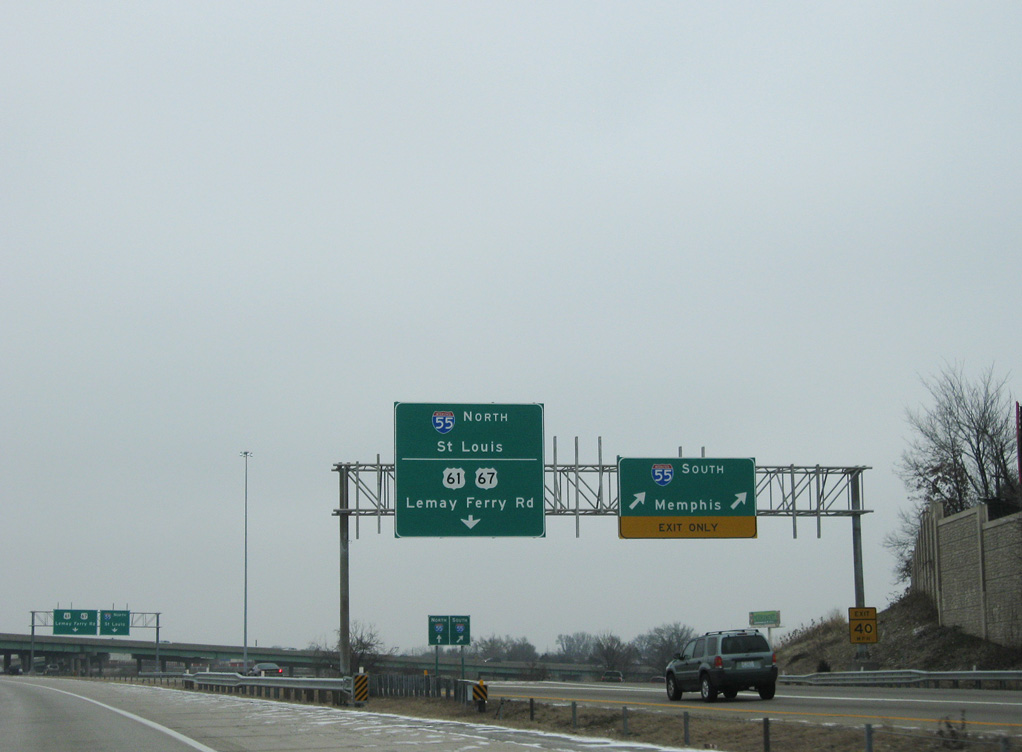
Two miles to the northwest of Exit 1A for I-55 and I-255 east on I-270 south at Sappington. 12/20/09
West at
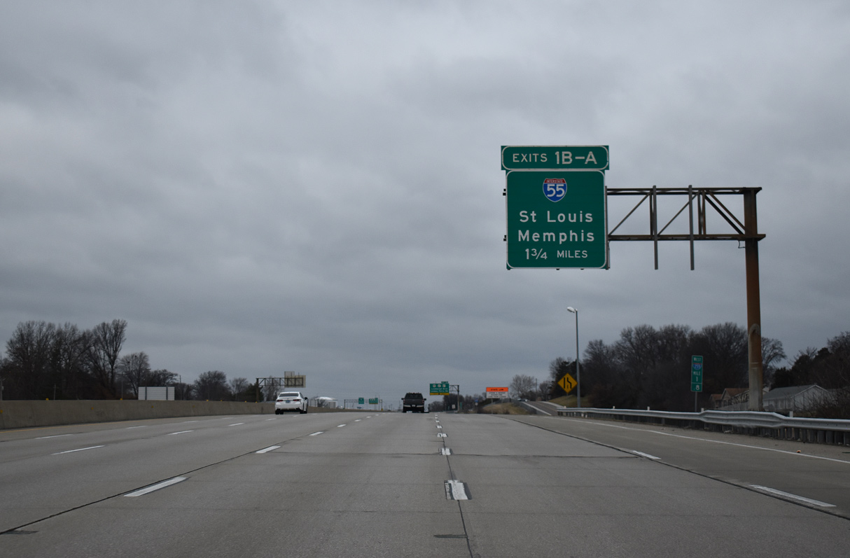
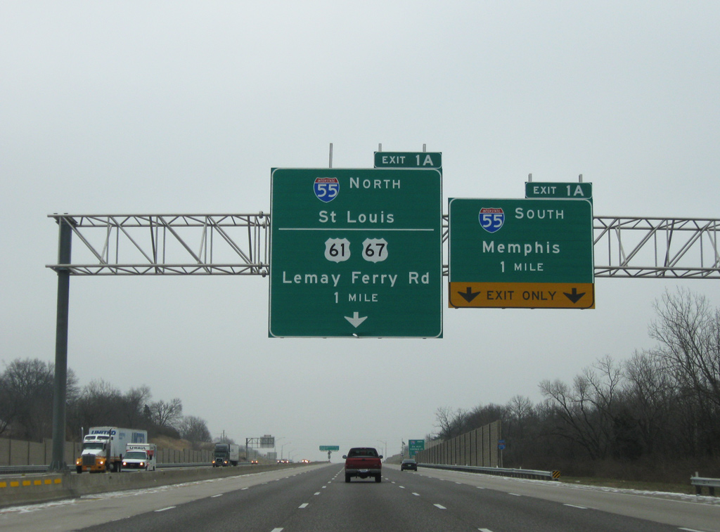
West from Route 231, Interstate 255 separates with U.S. 50 (Lindbergh Boulevard) ahead of U.S. 61/67 (Lemay Ferry Road) on the 1.75 miles leading to the exchange with I-55 and transition to I-270 north. 12/31/23
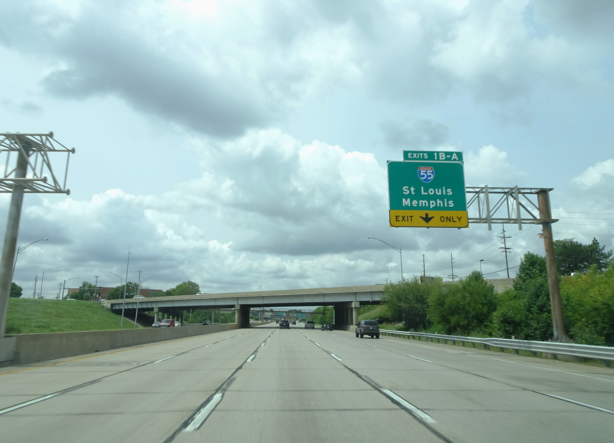
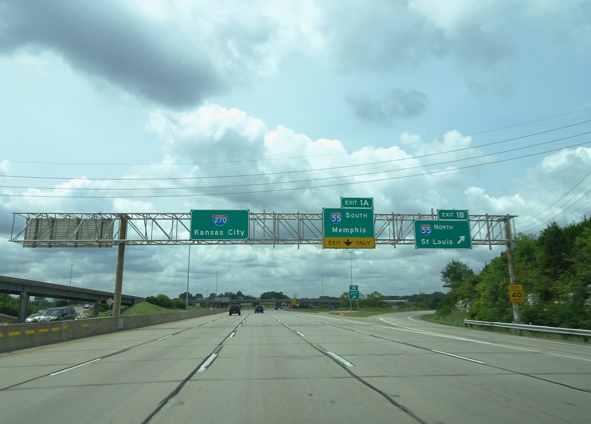
North at
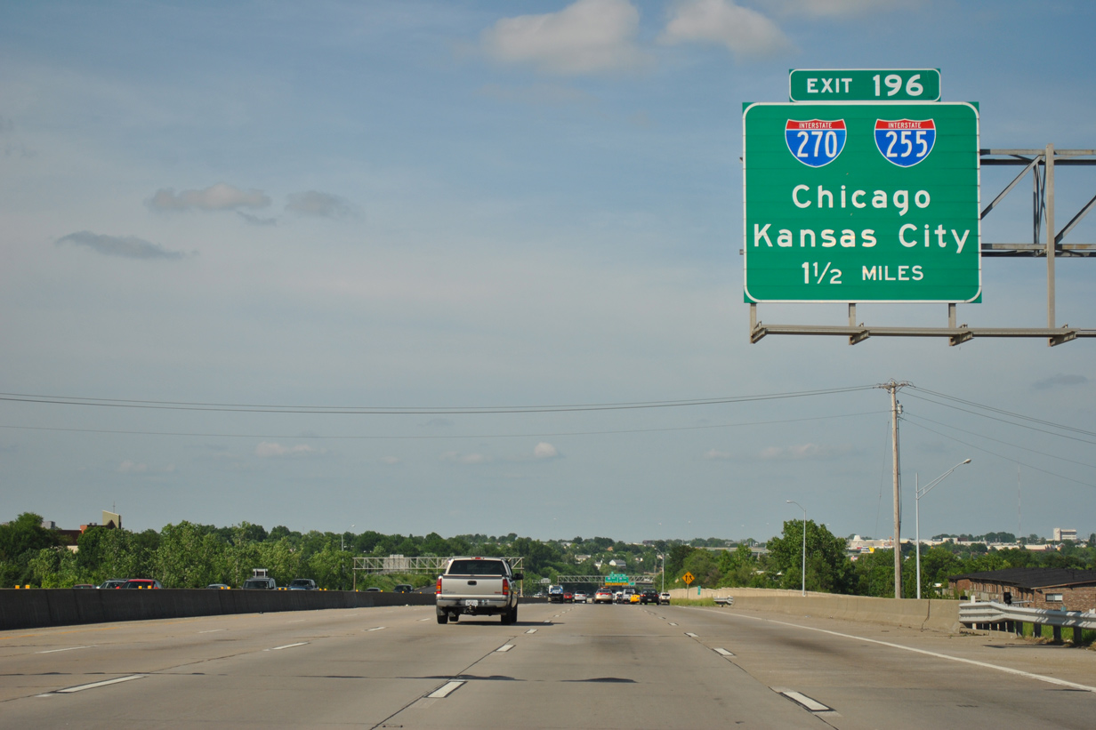
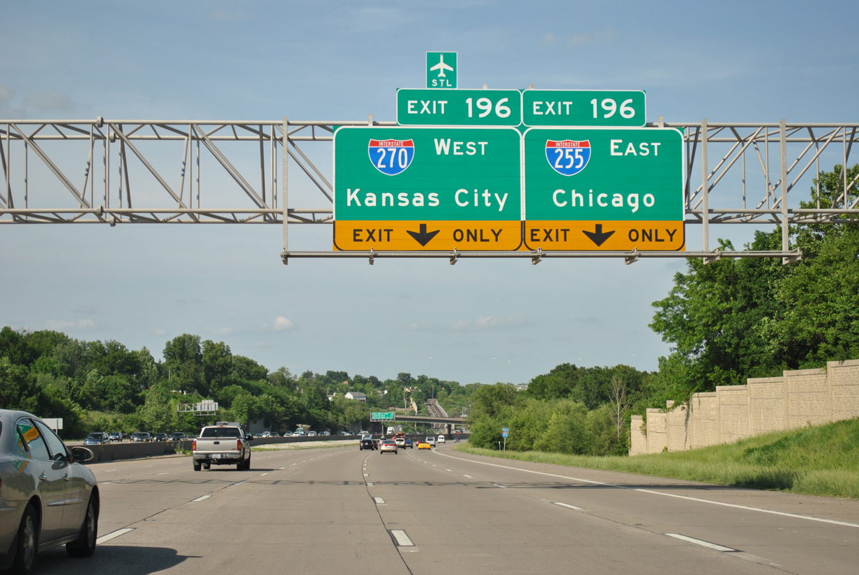
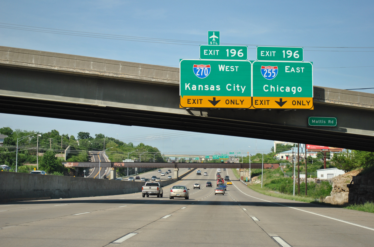
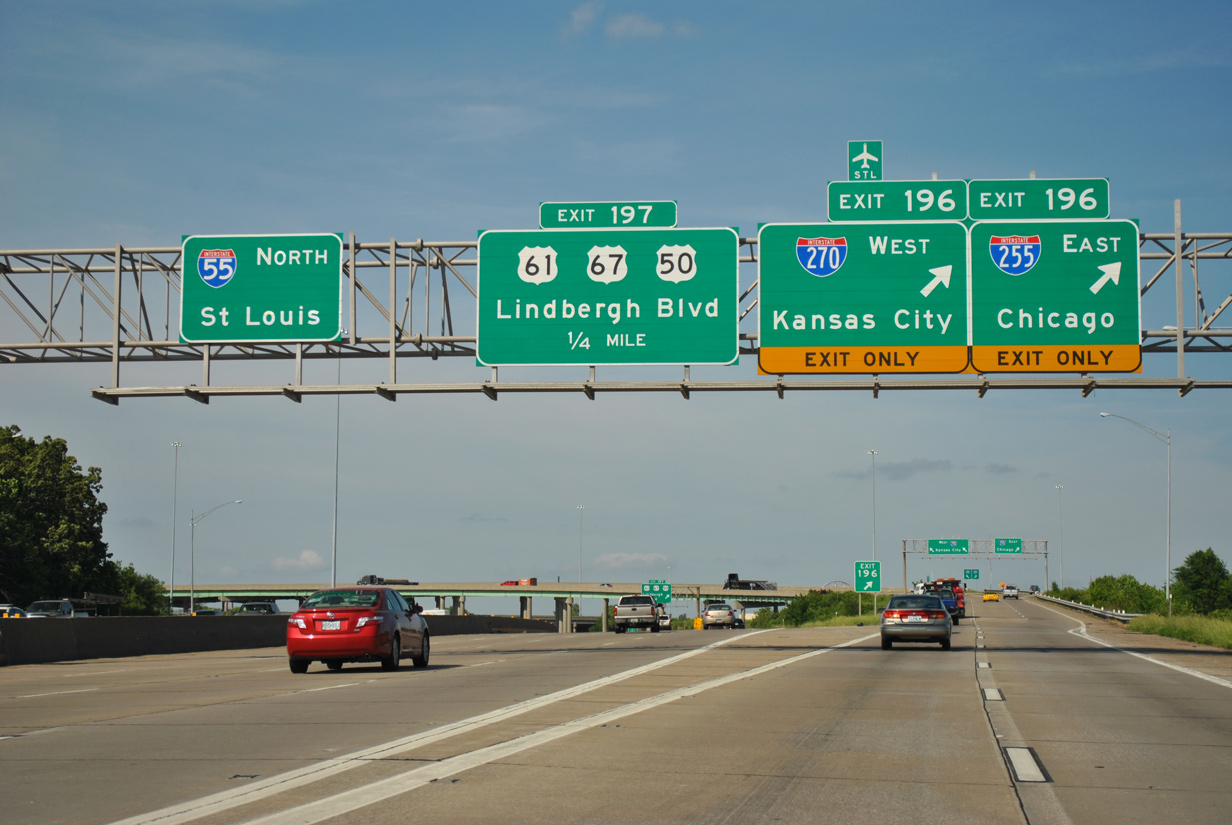
Interstate 55 travels between the communities of Concord and Mehlville north 15 miles to I-255 east and I-270 north at Exit 196. 05/03/12
South at
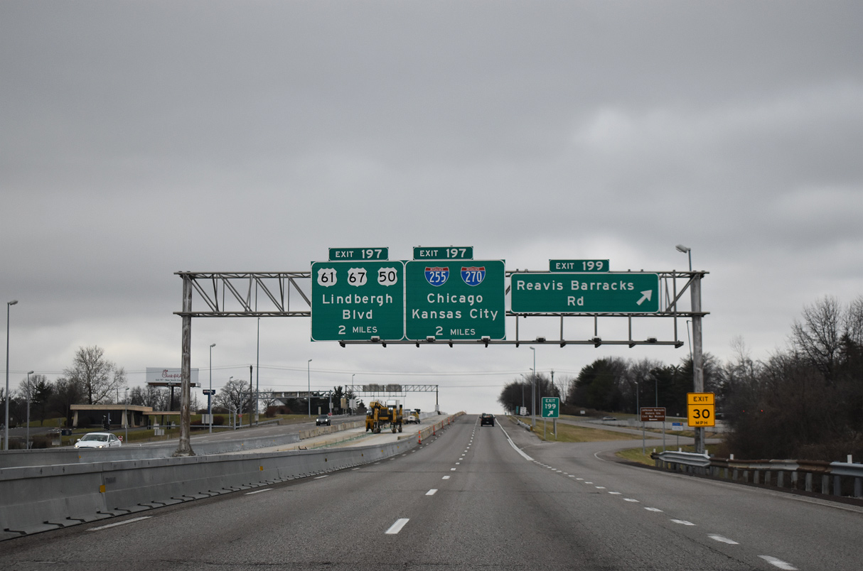
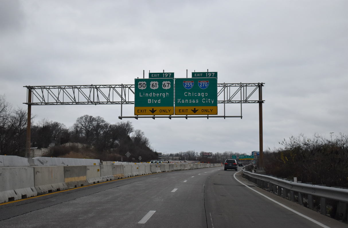
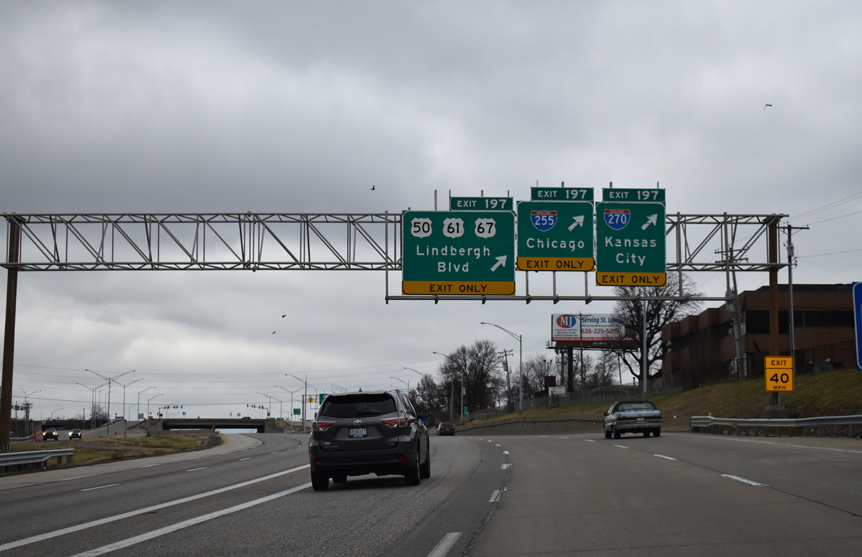
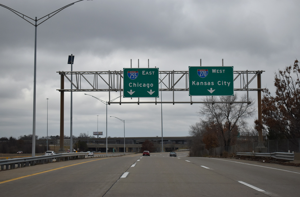
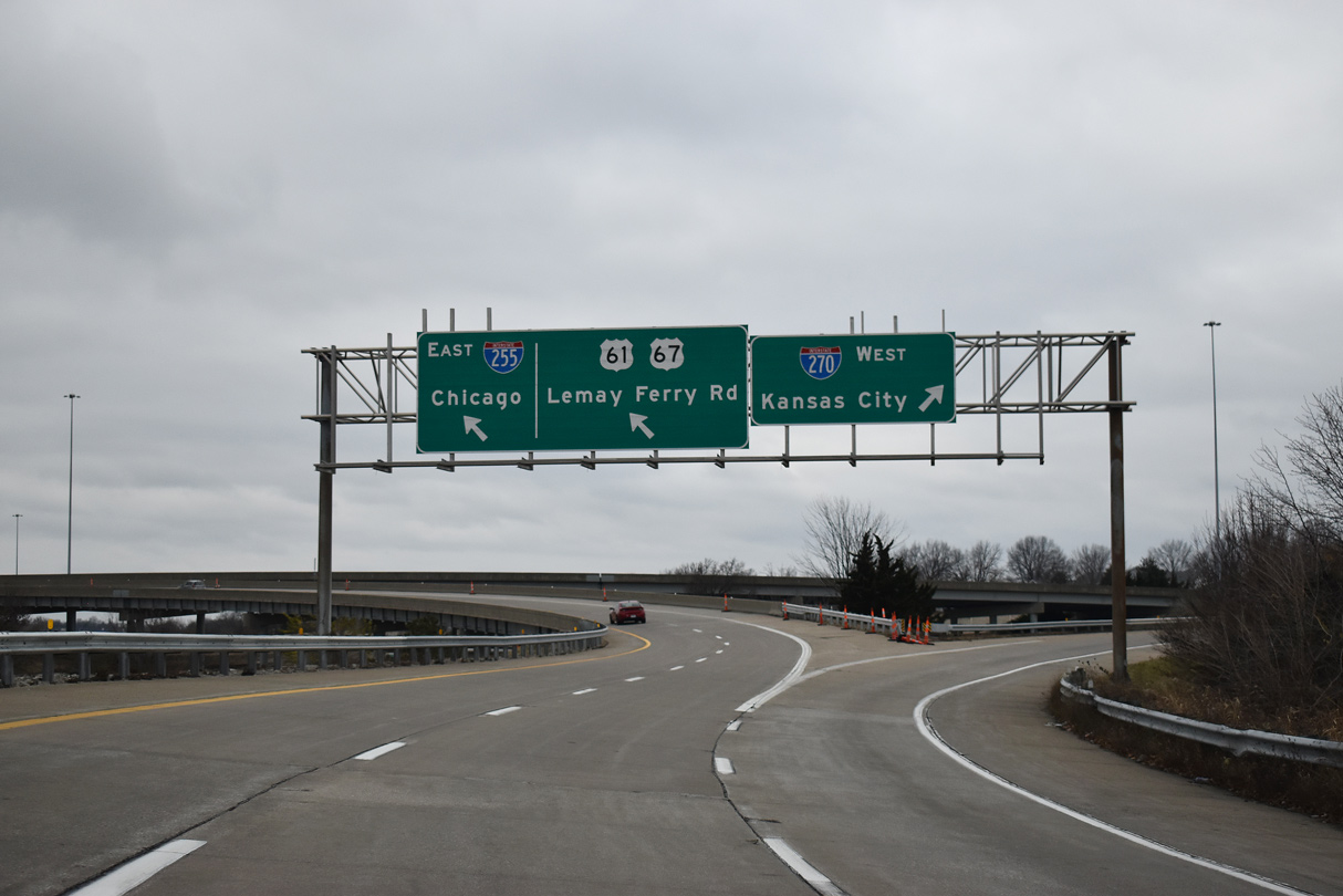
I-55 heads two miles south from Exit 199 to Reavis Barracks Road at Afton to the c/d roadway system (Exit 197) for U.S. 50-61-67 (Lindbergh Boulevard) at I-255/270. 12/31/23
References
- Summers, S. MISO (Missouri Interstate Route Numbering). Interstate system route numbering web site. Retrieved from http://nwindianahwys.homestead.com/MISO.html
- "I-255 Rim Means Loop is Finished - For Now." St. Louis Post-Dispatch (MO), July 31, 1988.
- I-244 and I-270 1964-1968 [Facebook update]. Retrieved from https://www.facebook.com/pg/Vintage-St-Louis-513201722060059/photos/?tab=album&album_id=1486995851347303
- "Interchange Reconstruction Gets Off To Early Start." St. Louis Post-Dispatch (MO), December 16, 1991.