
Interstate 180 Illinois
Overview
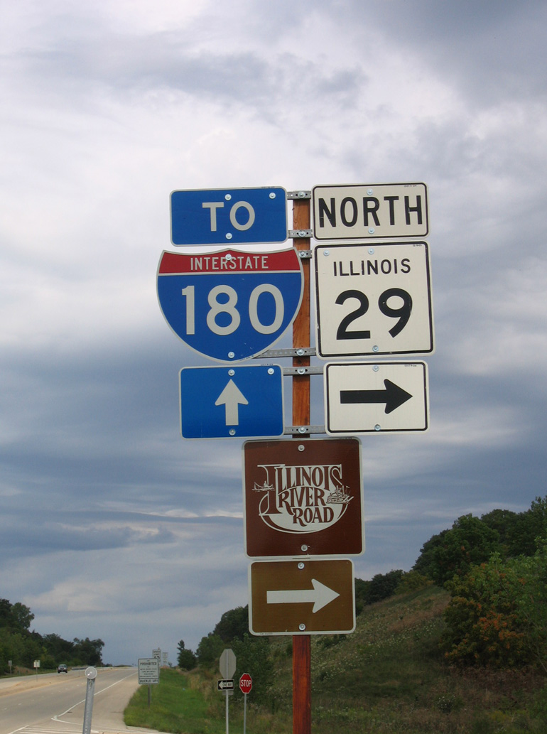
Constructed to provide access from I-80 to the Hennepin steel mill, Interstate 180 in Illinois is a 13 mile long spur from I-80 south to Hennepin along the Illinois River. The freeway is lightly traveled, with 2015 IDOT traffic counts ranging from 2,050 vehicles per day (vpd) north of Illinois 26 to 3,550 vpd south of it.
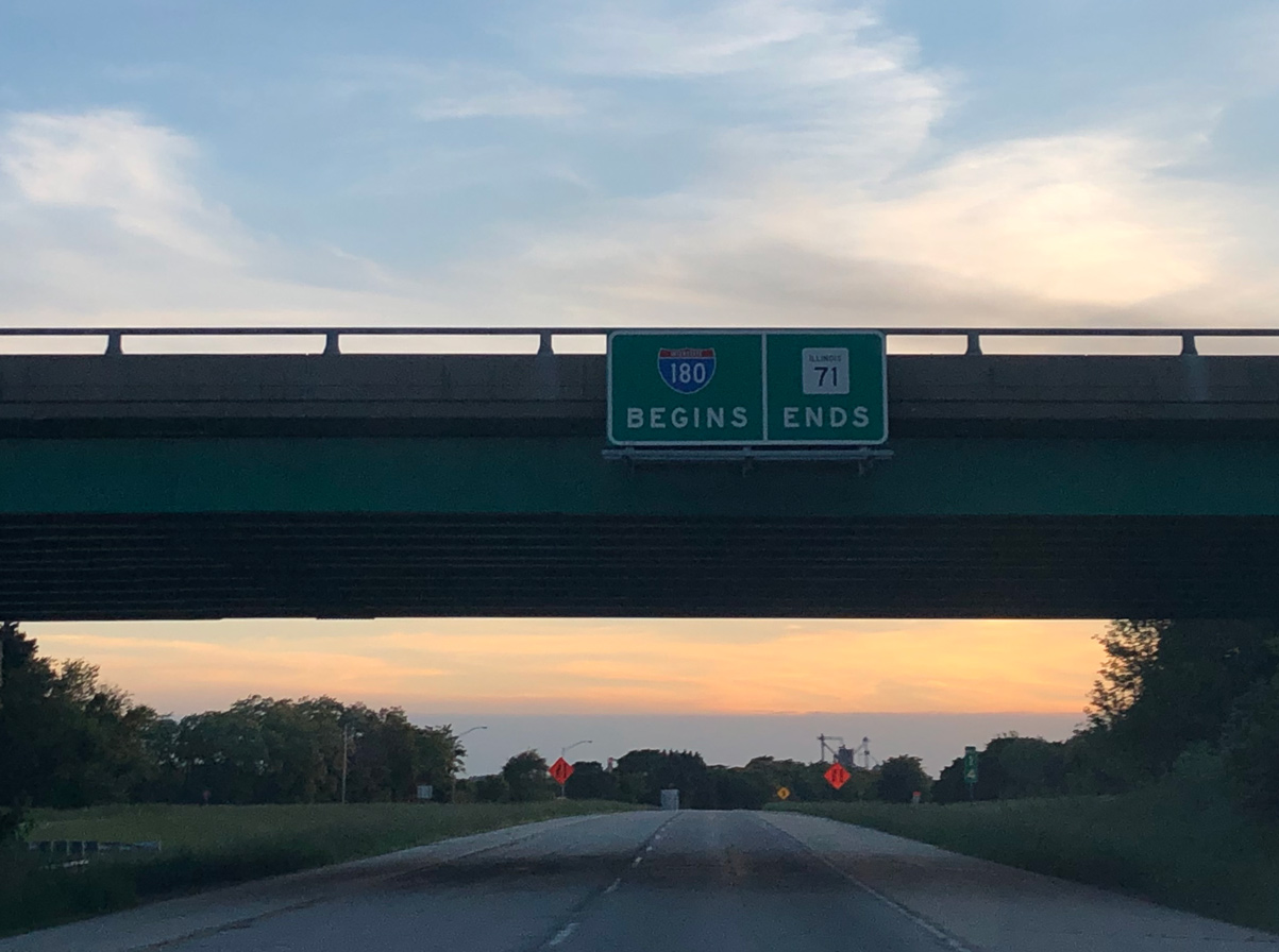
I-180 turns east at IL 29 to combine with IL 26 at Exit 12 and cross the Illinois River into Hennepin. The freeway end transitions traffic onto IL 71 at the village of around 750.
While there are no immediate plans to extend Interstate 180 south from its current terminus in Hennepin, there were plans to widen IL 29 from the connector to I-180 south to the access road linking it with the freeway (Peoria Ring Road) along IL 6 south from Mossville. IL 29 would bypass the communities of Chillicothe and Henry as an at-grade, four-lane expressway to connect the Interstate 80 corridor with Peoria.
A public hearing for the expansion of IL 29 was held in June 2006. This was preceded by an allocation of $1.6 million included in the 2005 SAFETEA-LU legislation for preliminary engineering and land acquisition. The corridor was studied by the Illinois Department of Transportation to Spring 2008, and the total project cost at the time was estimated to be approximately $600 million (Pekin Area Chamber of Commerce, 2010).
Several other Peoria area road project were considered during the same time frame. This included the completion of the Peoria Ring Road by connecting the north end of IL 6 with the east end of Interstate 474 via a new Illinois River bridge near Mossville. An additional project proposed was the construction of a new IL 336 expressway from Macomb northeast to Peoria. The proposed "Peoria to Chicago" expressway was also under consideration, with the general proposed route taking a diagonal path from the northeastern quadrant of the Ring Road northeast toward Chicago. Options including tieing it into I-39, I-55 or overlaying IL 29 and I-180 (Pekin Area Chamber of Commerce, 2010).
Mileage by State
| Illinois | 13.19 mi |
Data Sources
December 31, 2021 Interstate Route Log and Finders List
History
A four and a half mile section of Interstate 180, from a point south of Bureau Junction east across the Illinois River to Illinois Route 71 at Hennepin, opened to traffic in 1969. This completed the route (Chicago Tribune, 1969).
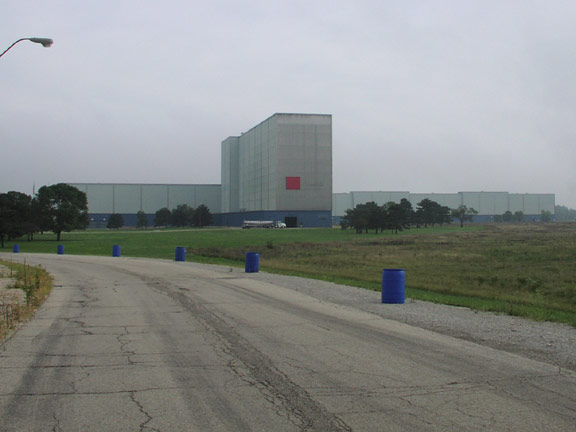
The 873 acre site housing the former Hennepin steel mill was purchased by Hennepin Industrial Development LLC in March 2017 for $5 million. The plant previously closed operations in 2009, with the bulk of its production assets eventually sold or moved elsewhere. Some demolition work took place at the site prior to the sale in 2017, with the new owner continuing work to remove the majority of the former production areas (Journal Star, 2017).
Over the course of its lifespan, the 1.35 million square foot complex produced steel for four different companies and once employed around 700 people. The plant was built in 1966 and operated initially by the Jones & Laughlin Steel Corp. and then by LTV Corporation (Journal Star, 2017).
North End  ‐ Princeton, IL
 North at
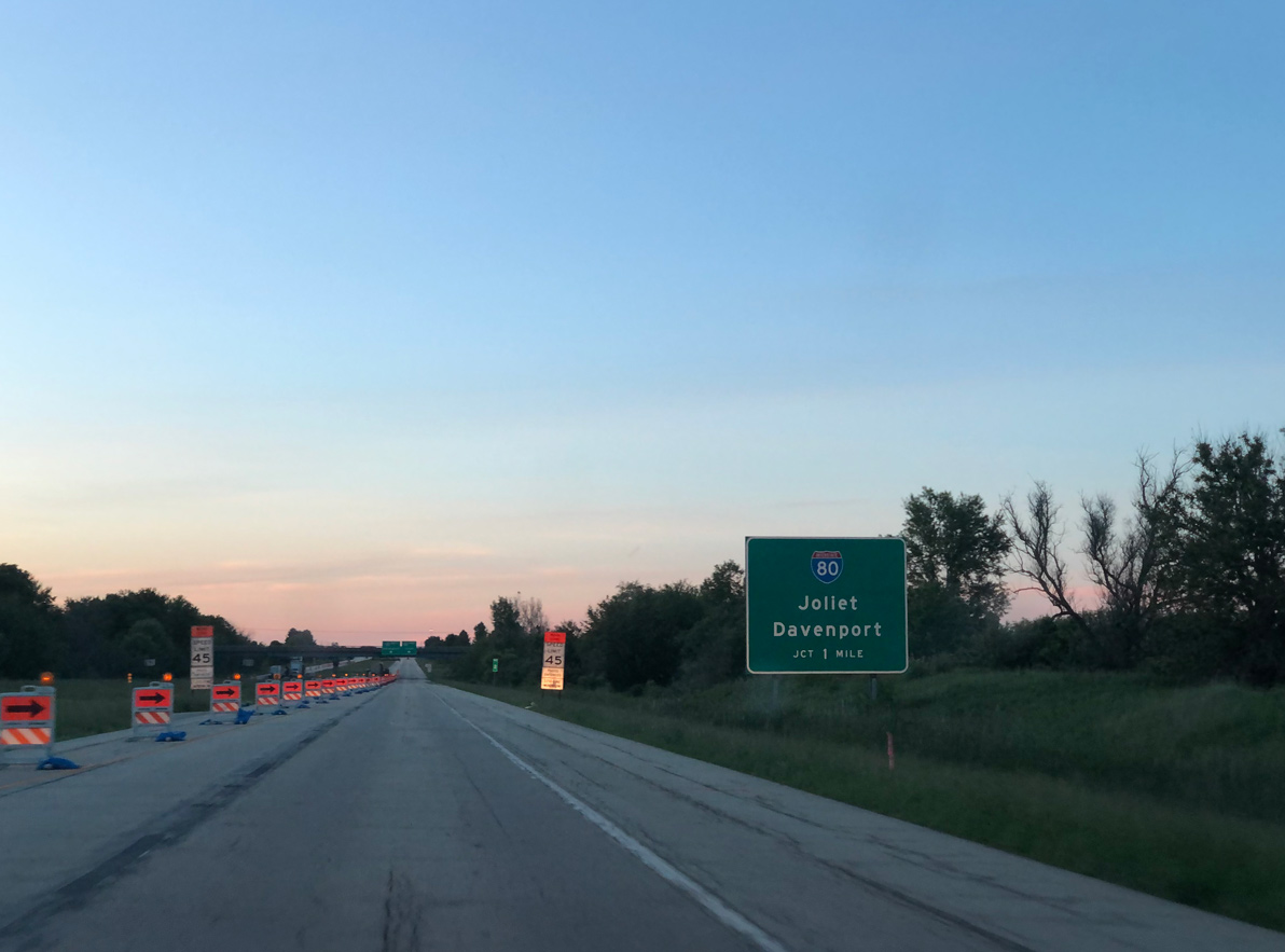
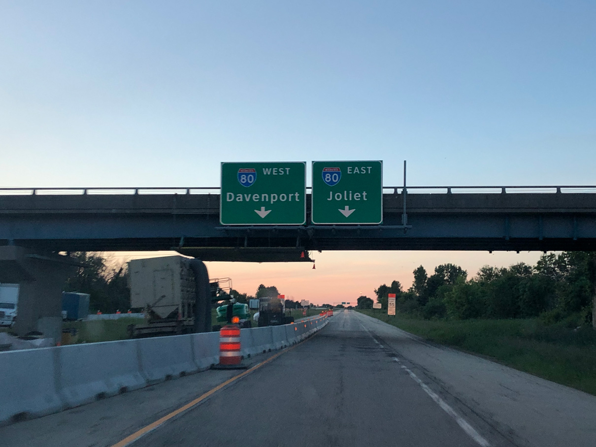
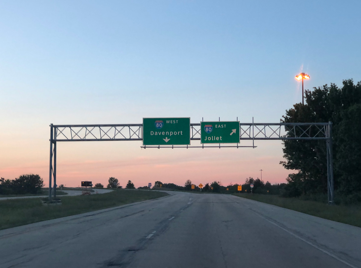
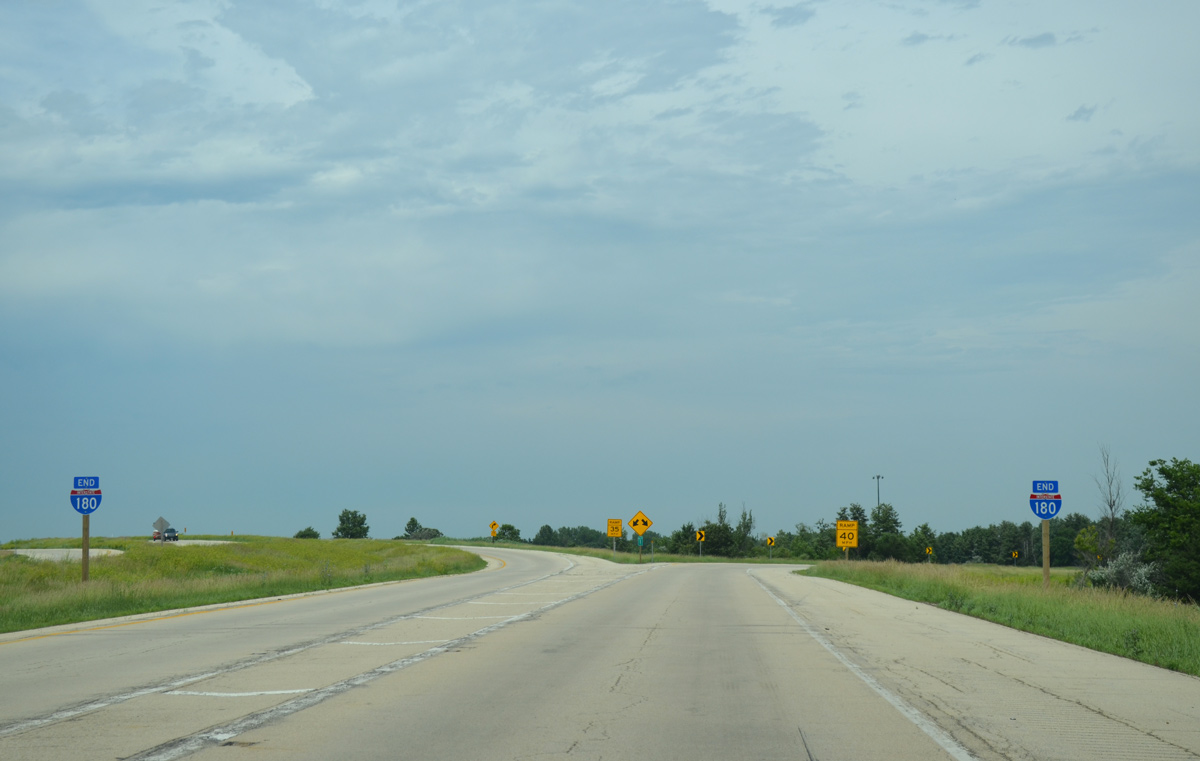
Interstate 180 leads due north 1.5 miles from a diamond interchange with U.S. 6 to conclude at I-80. Photo by Peter Johnson (05/31/20).
East at
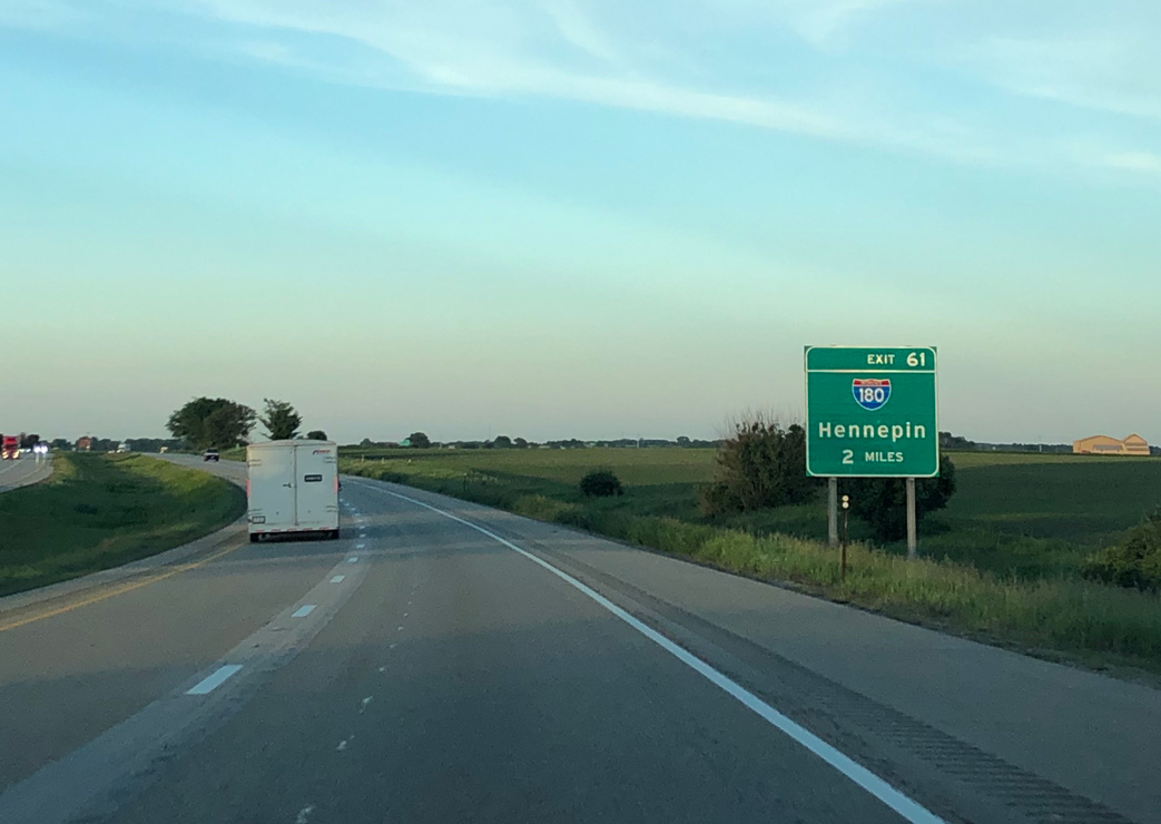
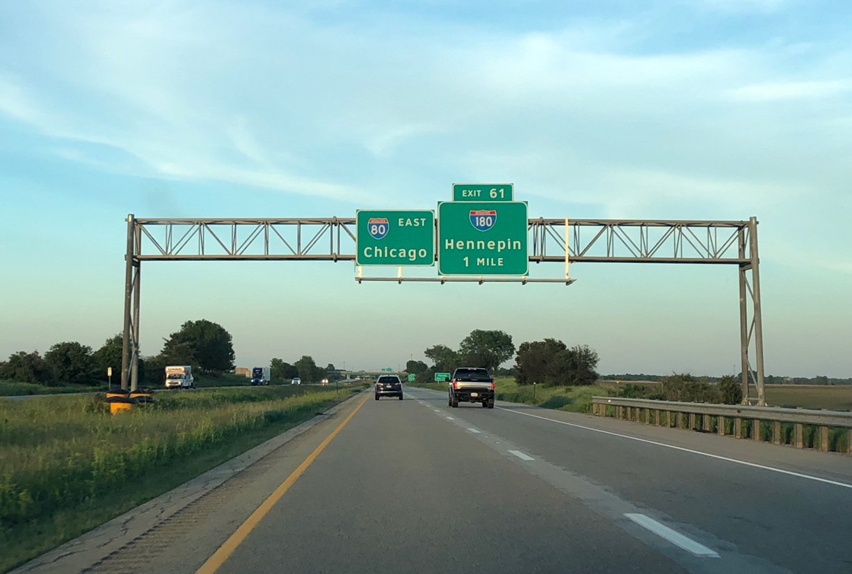
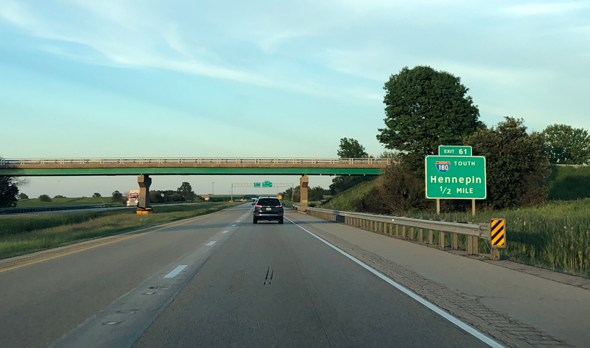
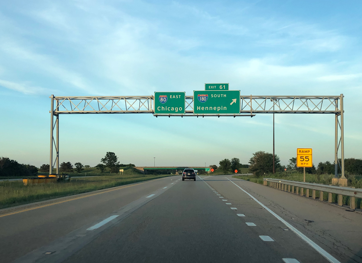
I-180 / Exit 61 is the lone off-ramp along a 13.2 mile long stretch along Interstate 80 east between Princeton and Ladd. Photo by Peter Johnson (05/31/20).
North End – Past Views
Past Views Gallery (Tap to Expand / Collapse Section)
North at
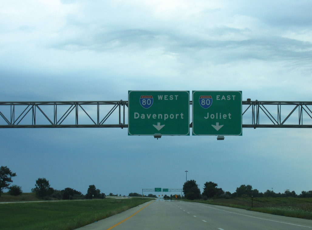
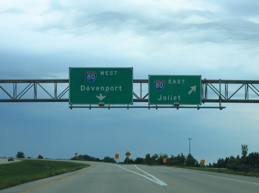
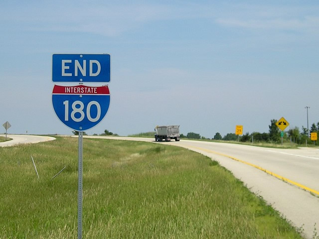
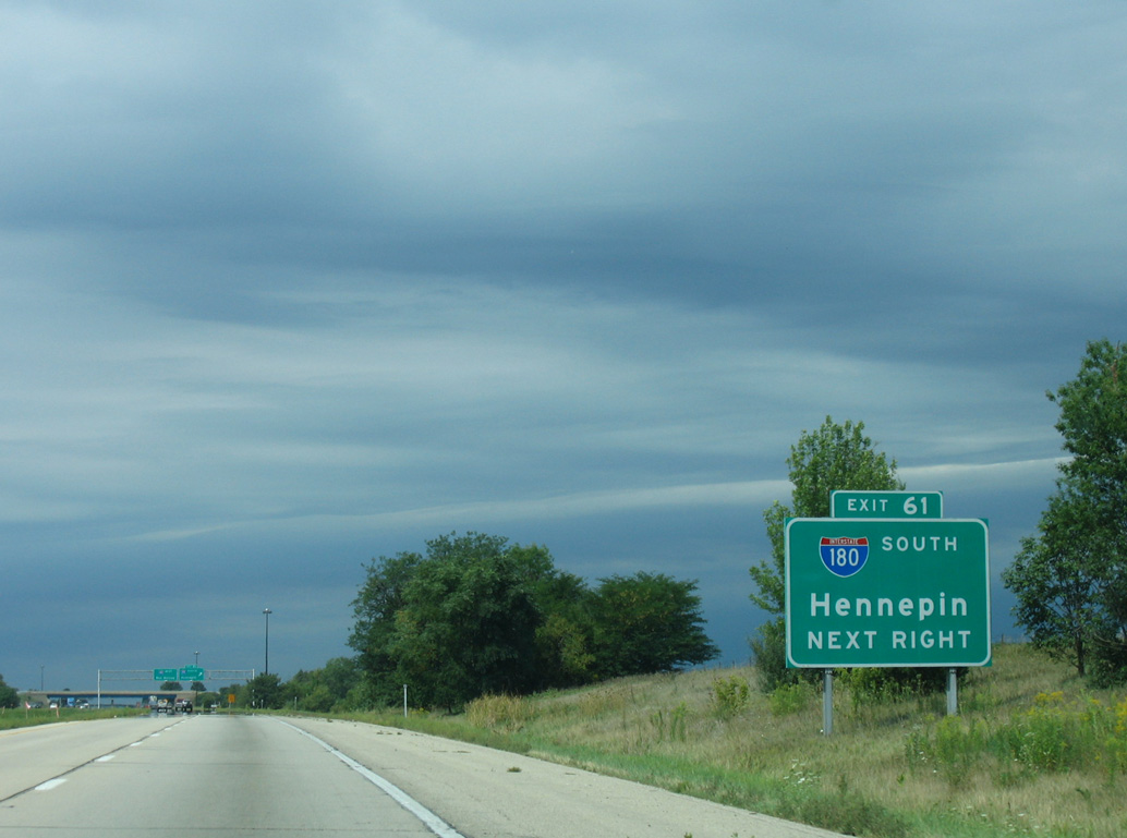
Former overheads for Interstate 80 posted along I-180 beyond the County Road 1650 N overpass in Selby township. 09/04/05
West at
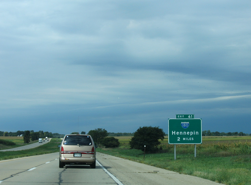
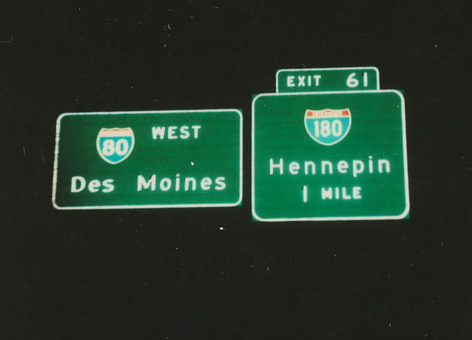
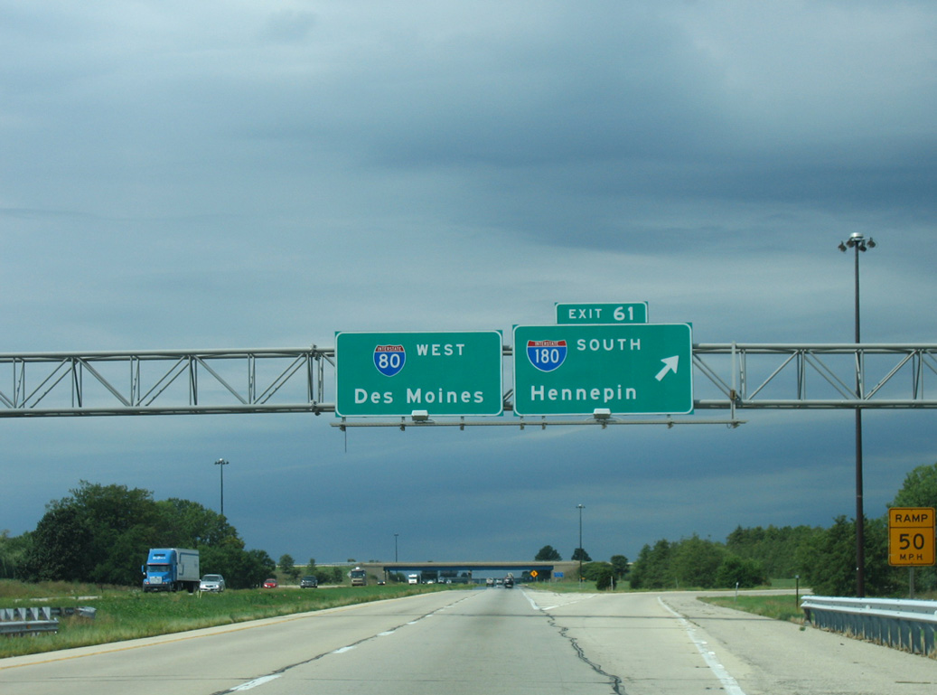
This ground level sign was the first for Exit 61 and Interstate 180 south. 09/04/05
South End 
 ‐ Hennepin, IL
South at
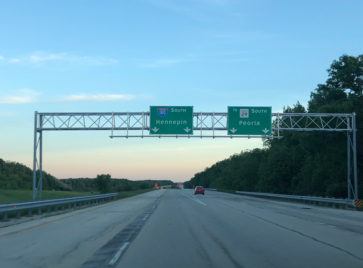
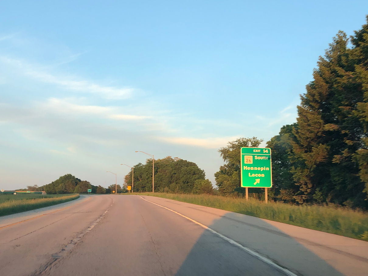
I-180 turns east at a three wye interchange with an unnumbered freeway spur, inventoried by IDOT as Federal Aid Primary Route 318, extending 2.2 miles south to IL 29. IL 29 passes under the freeway to the immediate east with no direct access as it travels south toward Putnam. Photo by Peter Johnson (05/31/20).
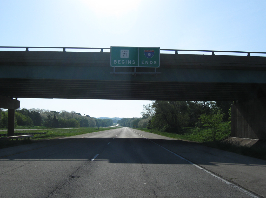
West at
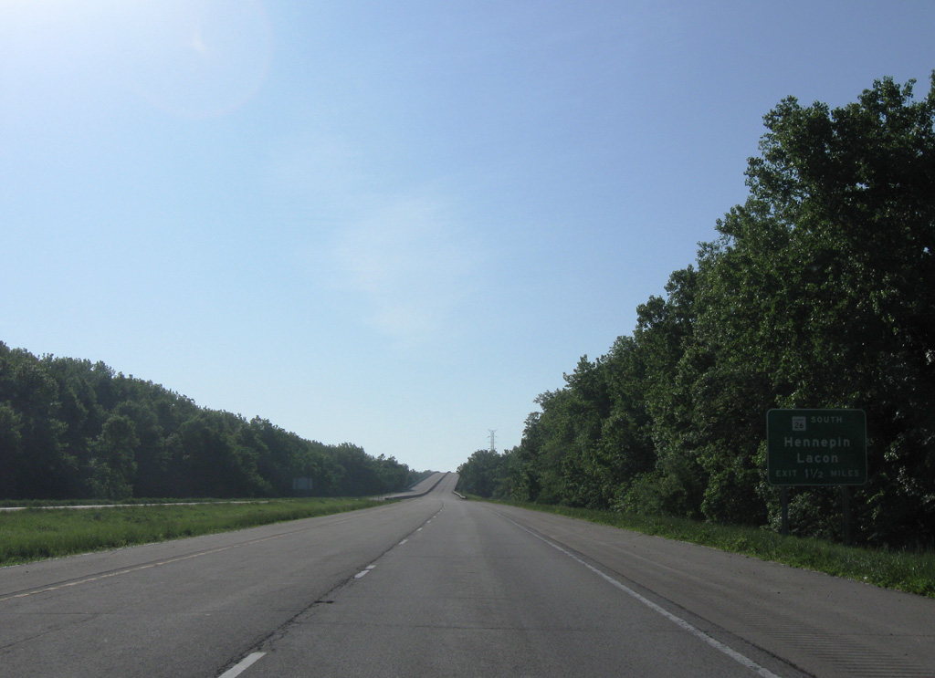
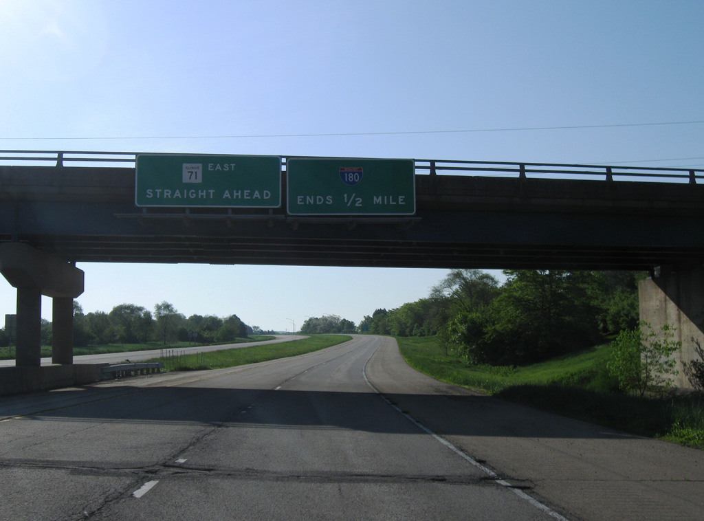
IL 71 expands from a rural two-lane highway into a four-lane freeway (I-180) just beyond Coffee Creek. Photo by Matthew Salomone (07/20/06).
North at
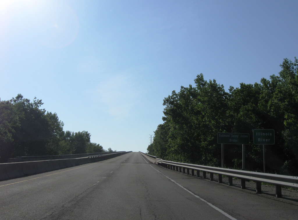
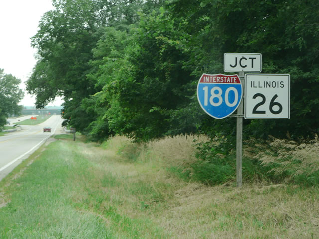
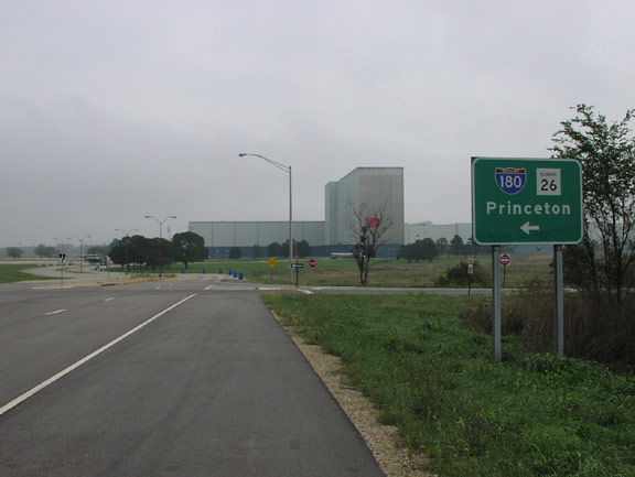
IL 26 combines with Interstate 180 west to span the Illinois River. IL 26 formerly crossed the river to the immediate south of the freeway, using what is now County Road 1050 N. Photo by Jeff Morrison (07/03/07).
North
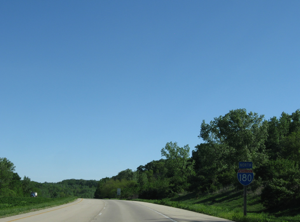
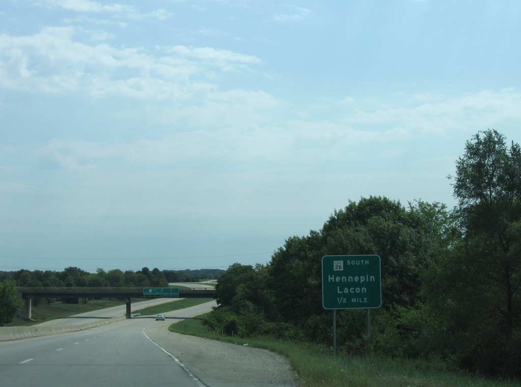
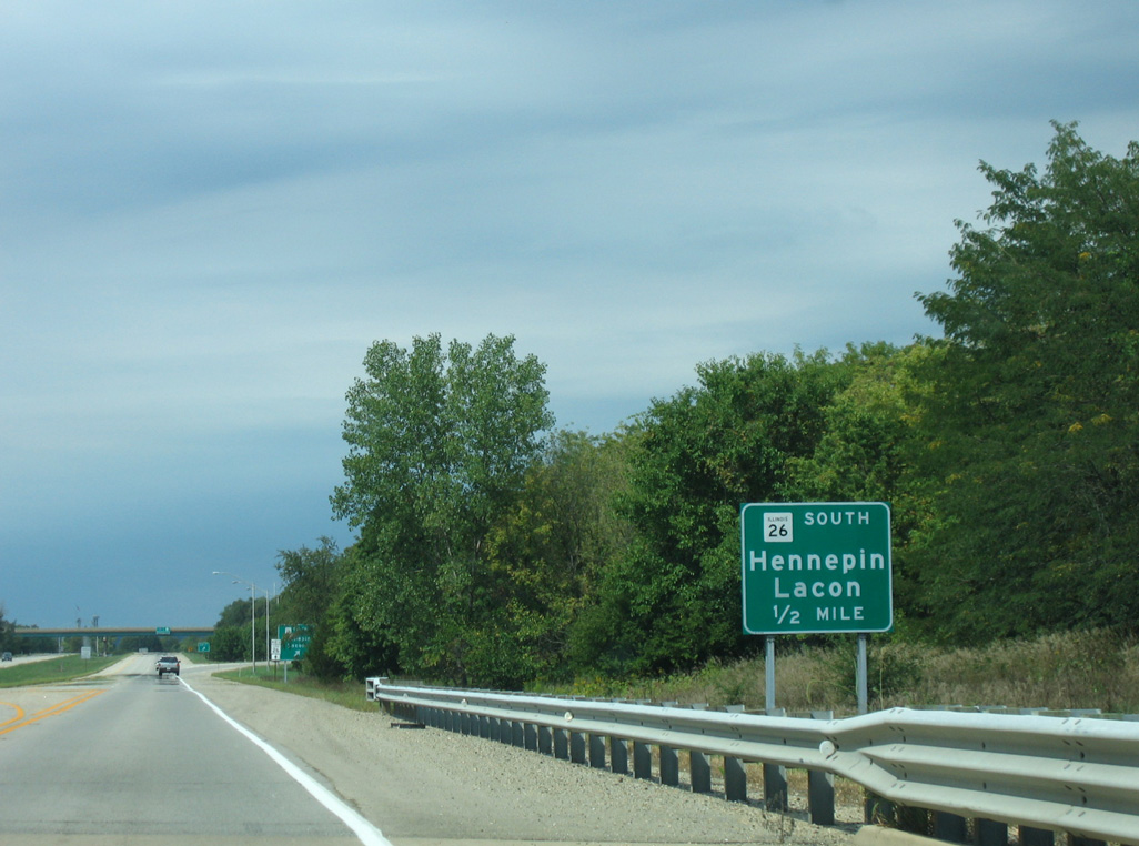
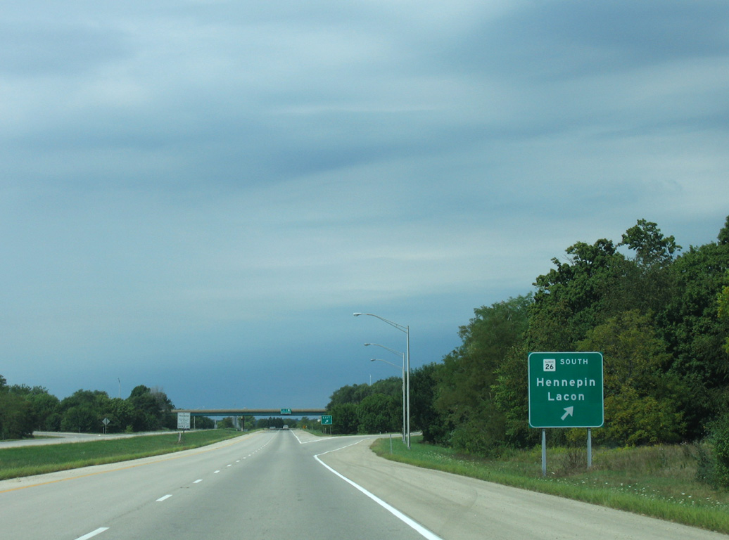
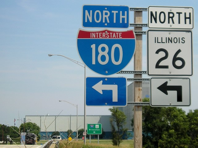
The first confirming marker for I-180 north precedes the Power Plant Road overpass. IL 26 combines with I-180 west for 2.6 miles to Exit 12. The state route meets the freeway for a second time between Bureau Junction and Princeton. Photo by Peter Johnson (05/31/20).
References
- Pekin Area Chamber of Commerce. (2010, June 15). Regional Chamber Transportation Issues Retrieved from https://web.archive.org/web/20100615005942/http://www.pekin.net/Transportation.htm
- Illinois Schedules Its Largest Highway Building Program. (1969, February 16). Chicago Tribune.
- Shuttered Hennepin steel mill being demolished. (2017, April 19). Journal Star.
- Baughn, J. (n.d.). FAI 180 over Illinois River. BridgeReports.com. Retrieved from http://bridgereports.com/1155805