
Interstate 126 South Carolina
Overview
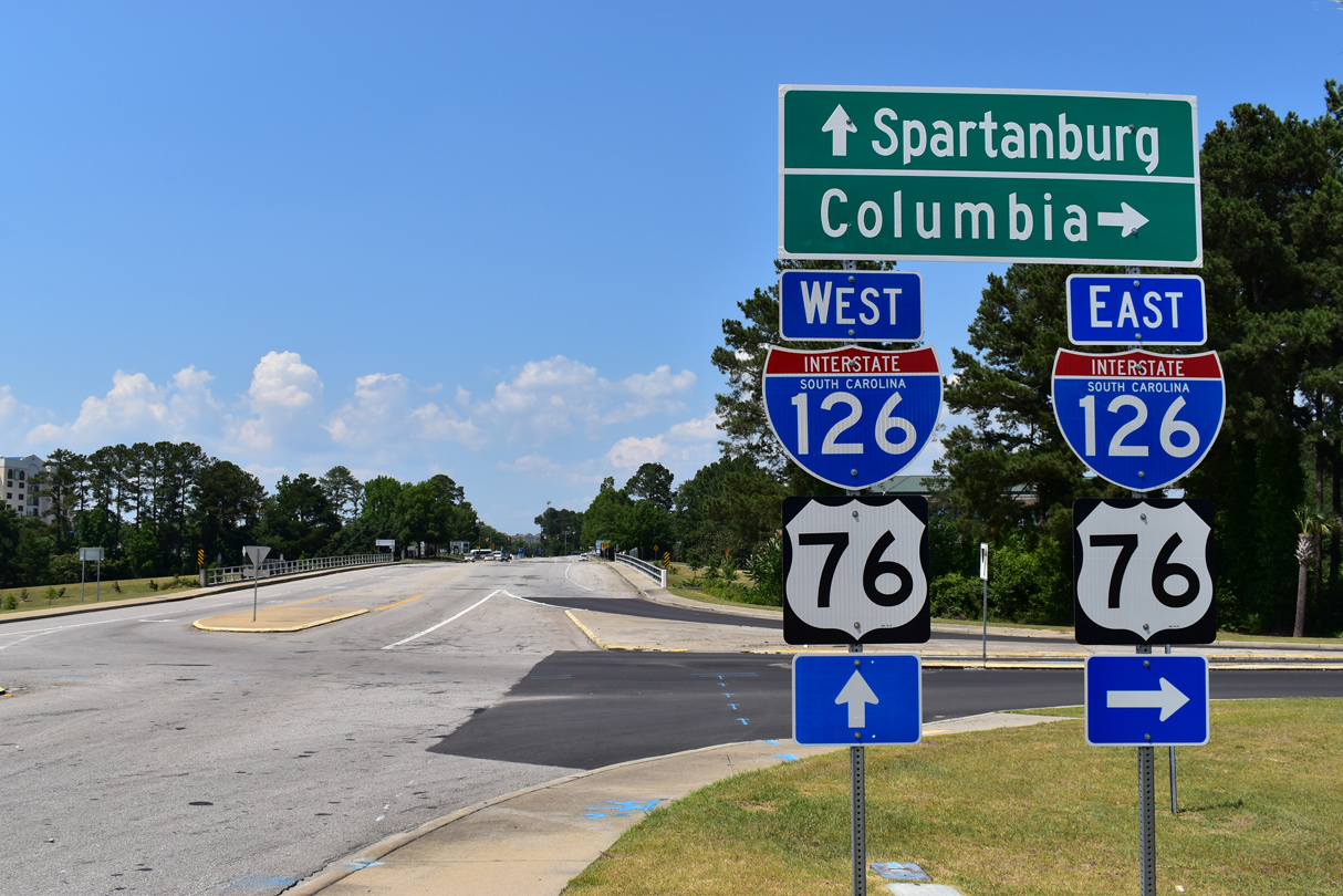
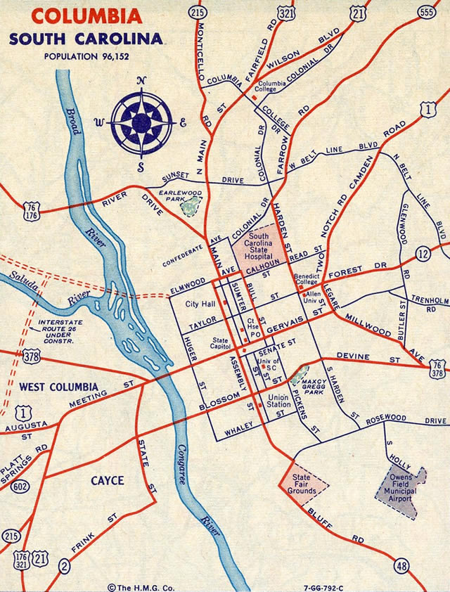
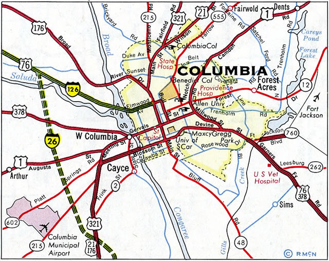
Interstate 126 parallels the Saluda River southeast from I-26 near the "Malfunction Junction" interchange with I-20, to a pair of a bridges spanning the Broad River. The freeway concludes at the U.S. 21-176-321 turn from Huger Street to Elmwood Avenue northwest of Downtown.
Doubling as U.S. 76 from I-26 east to Elmwood Avenue, Interstate 126 varies between six and eight lanes. There are no exit numbers along the urban freeway.
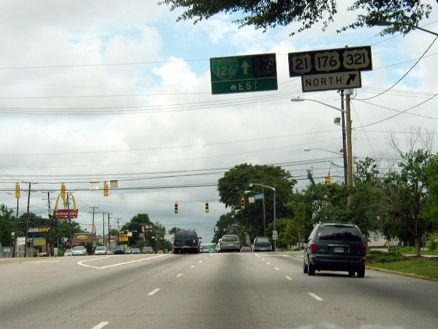
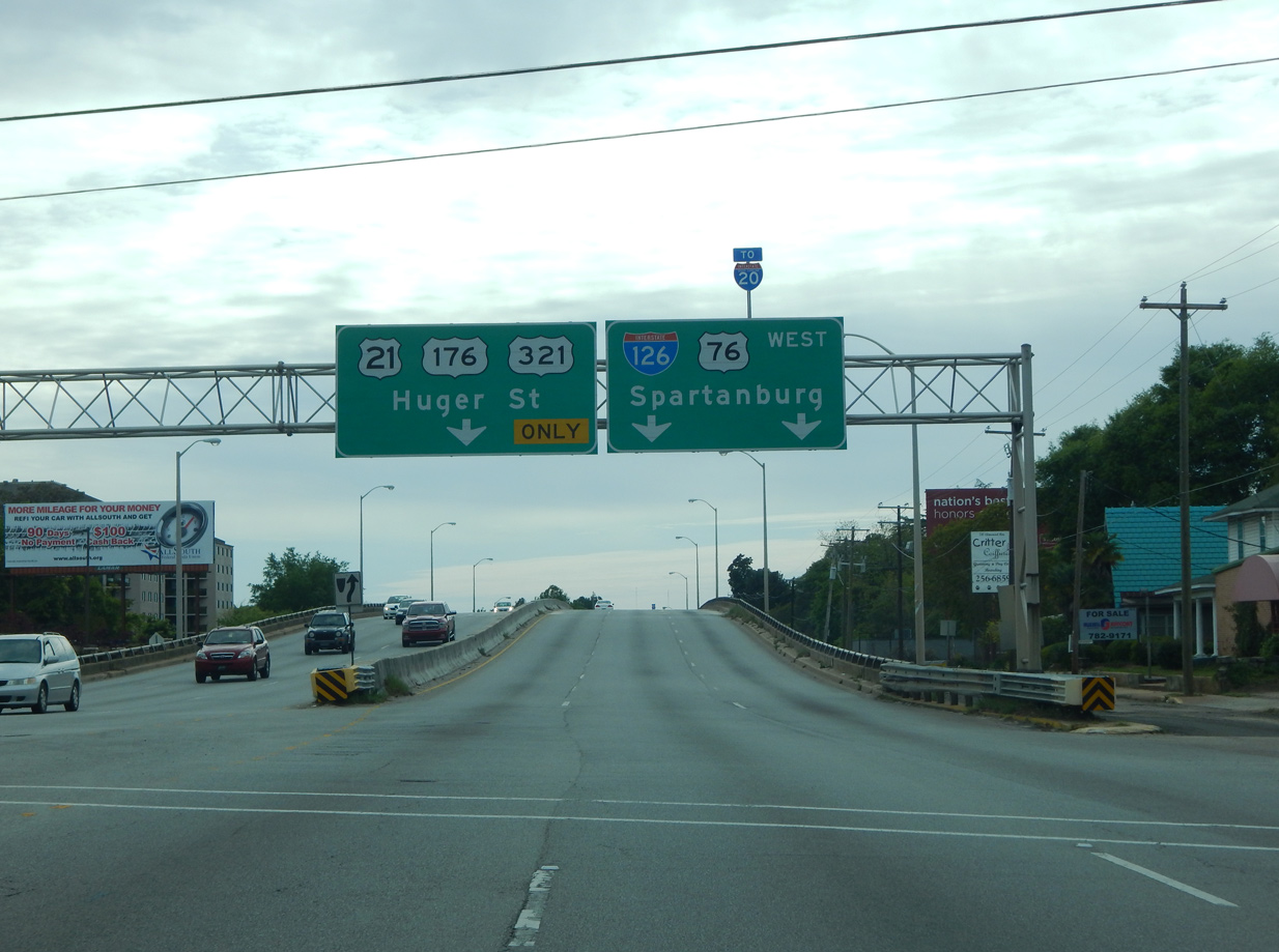
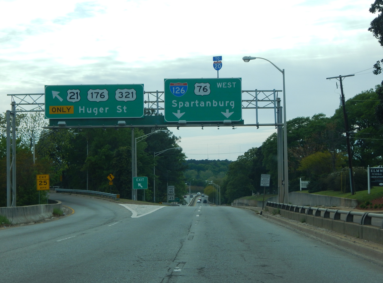
The eastern terminus of Interstate 126 transitions to Business Spur I-126 along Elmwood Avenue. Only signed once in the westbound direction, the 0.50 mile designation overlays U.S. 21, U.S. 76, U.S. 176 and U.S. 321 to S.C. 277 (Bull Street).
Mileage by State
| South Carolina | 3.68 mi |
Data Sources
December 31, 2021 Interstate Route Log and Finders List
Carolina Crossroads
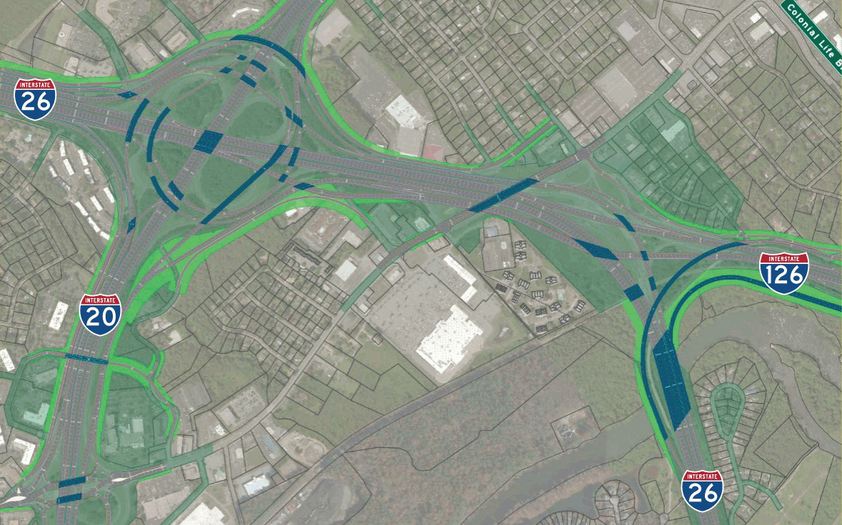
The Carolina Crossroads Project redesigns both the cloverleaf interchange ("Malfunction Junction") joining I-20 and I-26 and the adjacent tie in with Interstate 126. An Environmental Impact Statement (EIS) prepared by the South Carolina Department of Transportation (SDOT) was approved by the Federal Highway Administration (FHWA) on May 2, 2019.1 The $1.5 billion overhaul addresses congestion and safety concerns associated with substandard design, weaving traffic patterns and left side ramps. Work involves 14 interstate miles, 12 interchanges along portions of I-20, I-26 and I-126.2
The South Carolina Department of Transportation (SCDOT) considered several alternatives for the Carolina Crossroads project starting in 2015. Those included the I-20/126 East-West Connector which outlined extending Interstate 126 west to meet I-20 directly. The proposed Directional Interchange alternative would eliminate left side ramps south of Bush River Road and construct a new high speed exchange south of the Saluda River. The Bush River alternative retained the left exit ramps at I-26/126 while extending I-126 to the north of the Saluda River to a full interchange with I-20. The Direct Connector alternative also followed the north side of the Saluda River as it lengthened I-126 west to a wye interchange with I-20 while retaining the left exit ramps at I-26.
Ultimately the Final Environmental Impact Statement (FEIS) selected RA1 as the Selected Alternative for the Carolina Crossroads project. Among other changes, a turbine interchange will replace the cloverleaf at I-20/26. Collector distributor roadways will separate movements along I-26 between the exchange at I-20 and a rebuilt full-Y interchange with Interstate 126.
Construction on the first phase of road work was previously anticipated to start in 2019, with Phases II and III following in 2023 and 2027 respectively. The initial schedule outlined right of way acquisition throughout 2019 and construction commencing in 2020.
With cost increases to $1.7 billion, the Carolina Crossroads project finally broke ground during a ceremony held on November 8, 2021. With work partitioned into five phases, eight years of construction upgrades 14 miles of freeway along portions of I-20, I-26 and I-126.6
History
Representing the first sections of Interstate built in the Palmetto State, Interstate 126 was built in conjunction with I-26 north to S.C. 773 near Pomaria.3 The contract for a 9.4 mile section of roadway from the Broad River at Columbia to U.S. 76 near Irmo was awarded on January 25, 1957. Construction underway by September 1957 included I-26 south to U.S. 21-176-321 at Dixiana.4 The South Carolina Highway Department collectively opened 30 miles of freeway including all of Interstate 126, and I-26 from Columbia to S.C. 773 near Pomaria on September 7, 1960. The northern extent of I-26 tied into the limited access section of U.S. 276 leading toward Greenville.3 The freeway was expanded to eight lanes west from Greystone Boulevard in 1988.
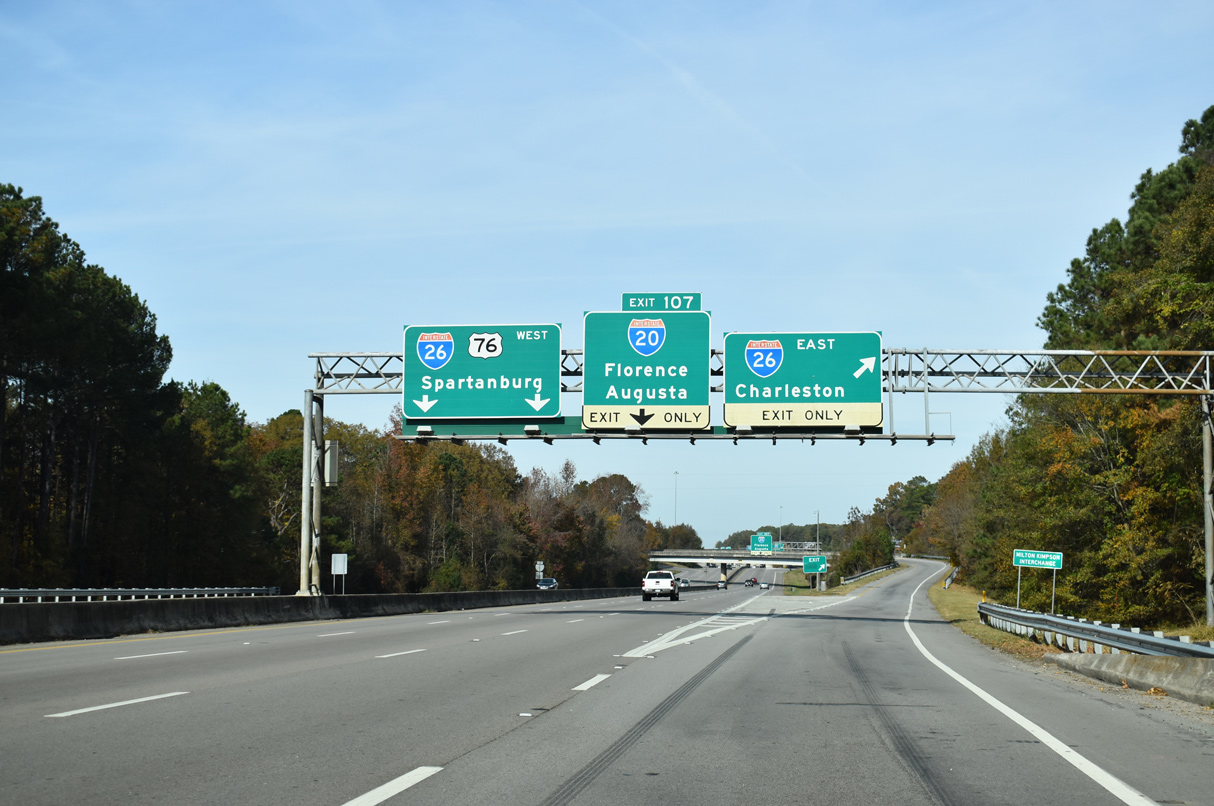
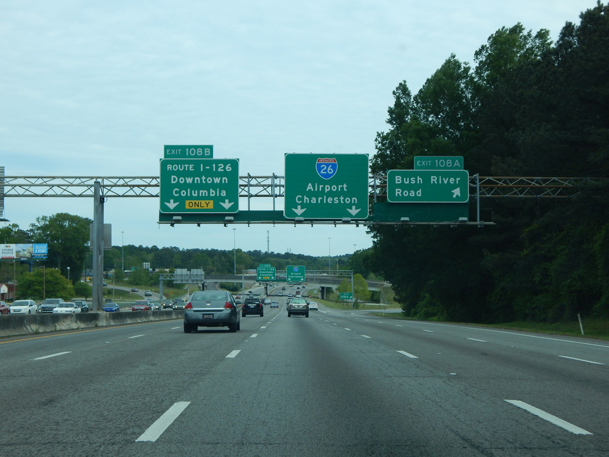
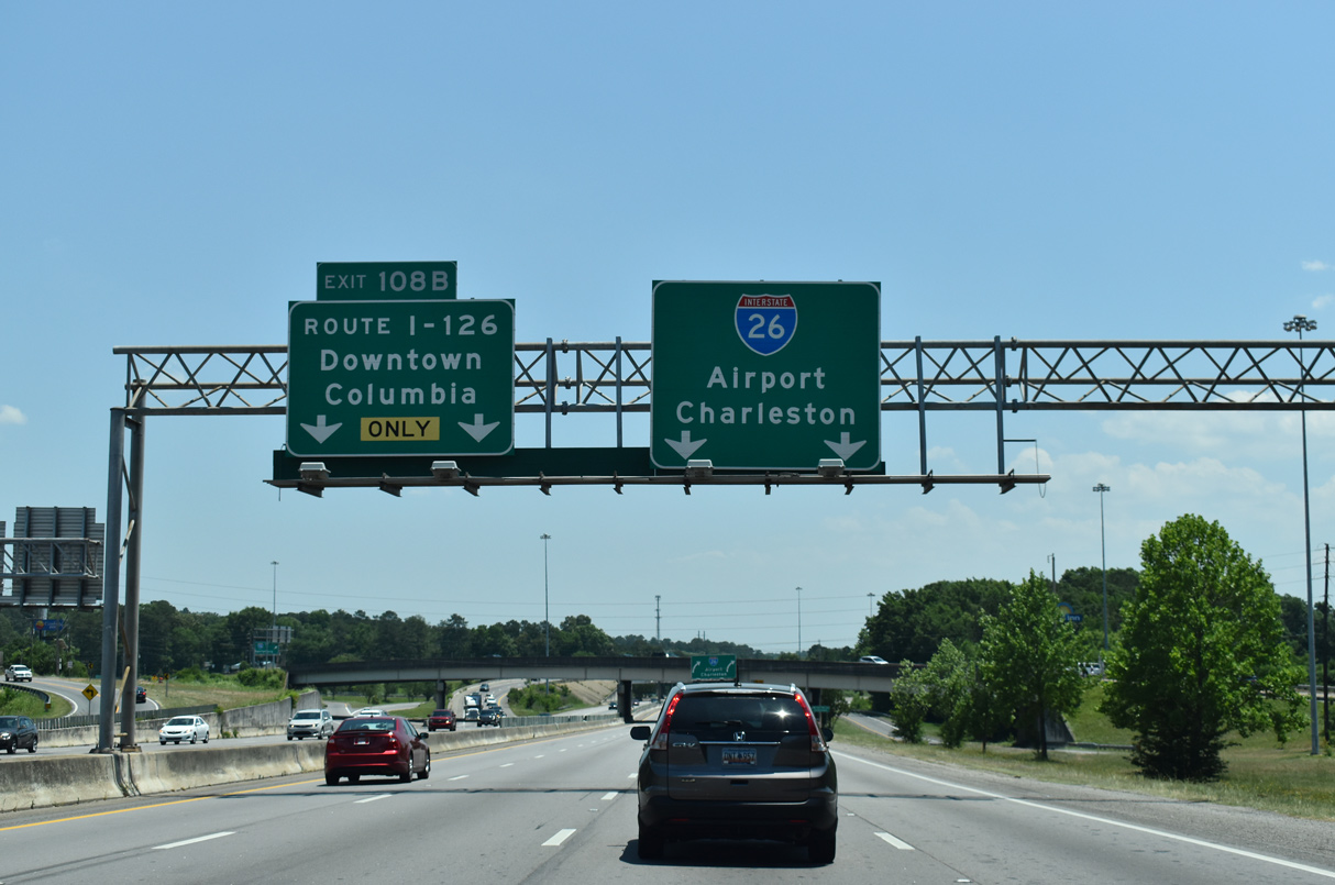
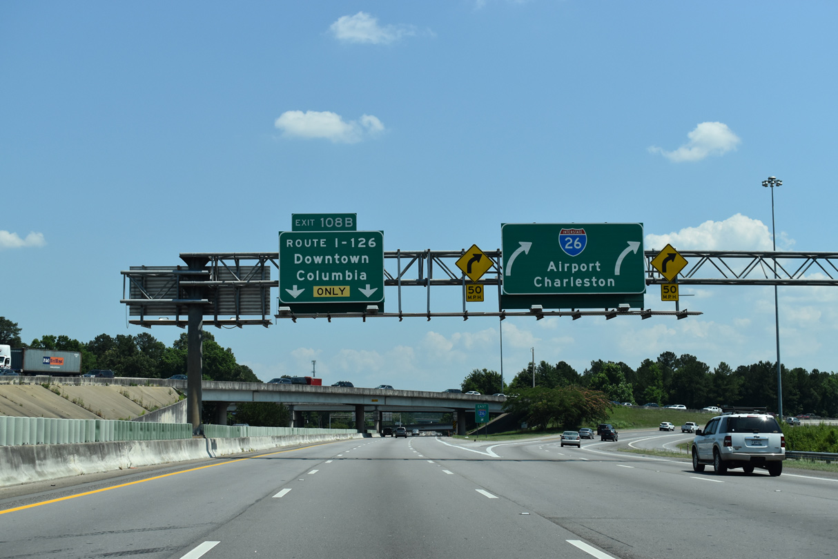
Sign changes made in 1994 along Interstate 26 east at I-126 replaced tri-color shields with text displaying "Route I-126" for the left exit. The alteration was made to reduce motorist confusion, where drivers merging onto I-26 from adjacent I-20 could not differentiate the two 26's in time to safely maneuver to their desired ramp.5 Similar issues resulted in the de-signing of Interstate 124 in Chattanooga and displaying I-129 in text on overheads along I-29 at Sioux City, Iowa.
East End 


 ‐ Columbia, SC
 East at
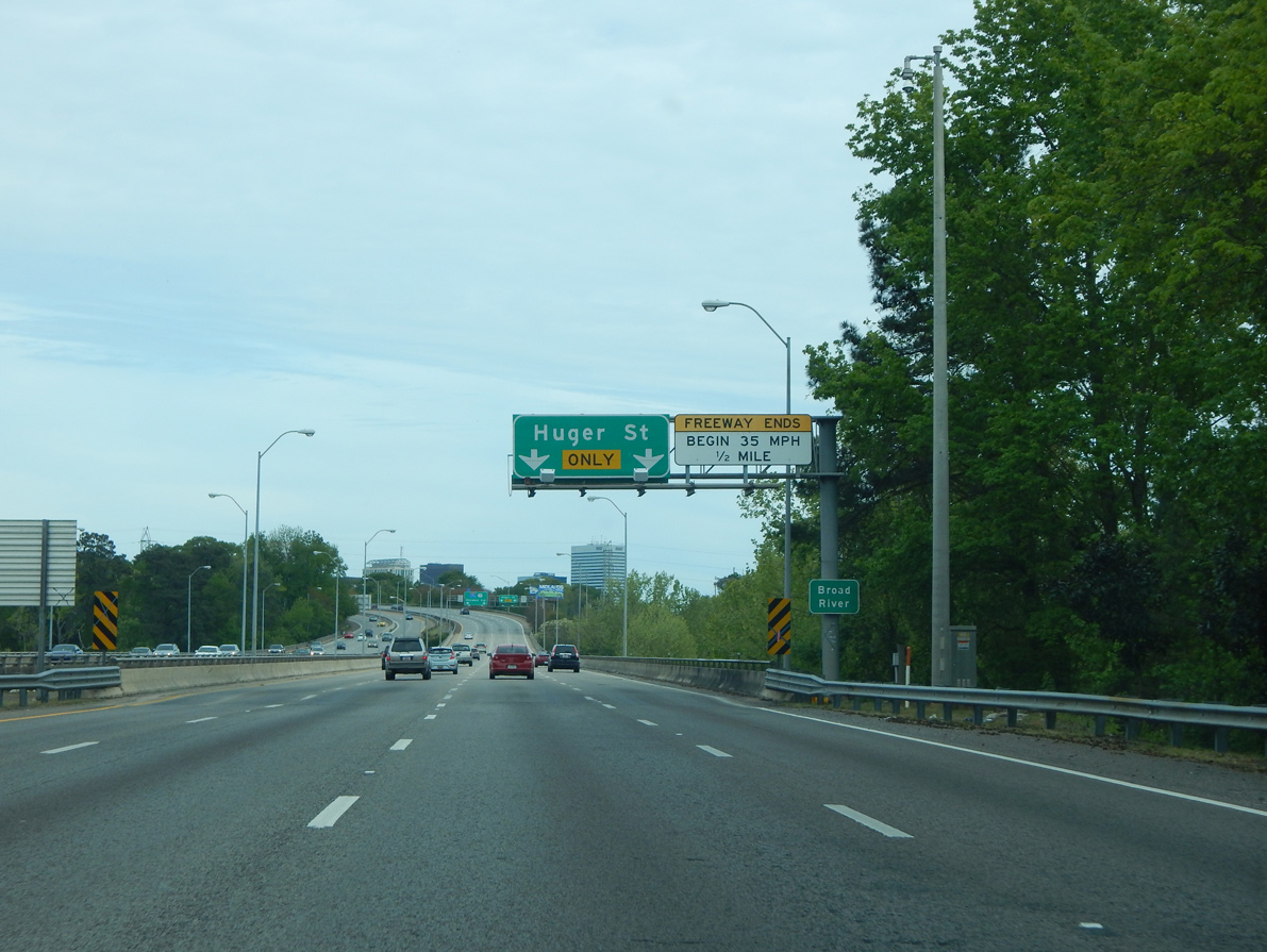
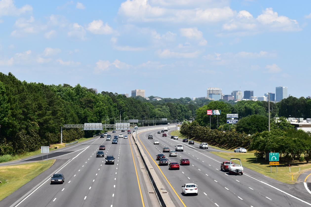
A half mile ahead of the freeway end at Huger Street (U.S. 21-176-321), I-126/U.S. 76 span the confluence of the Broad and Saluda Rivers with eight overall lanes. The two waterways form the Congaree River, which flows 47 miles south to merge with the Wateree River at Lake Marion. Photo by Carter Buchanan (04/10/16).
North at
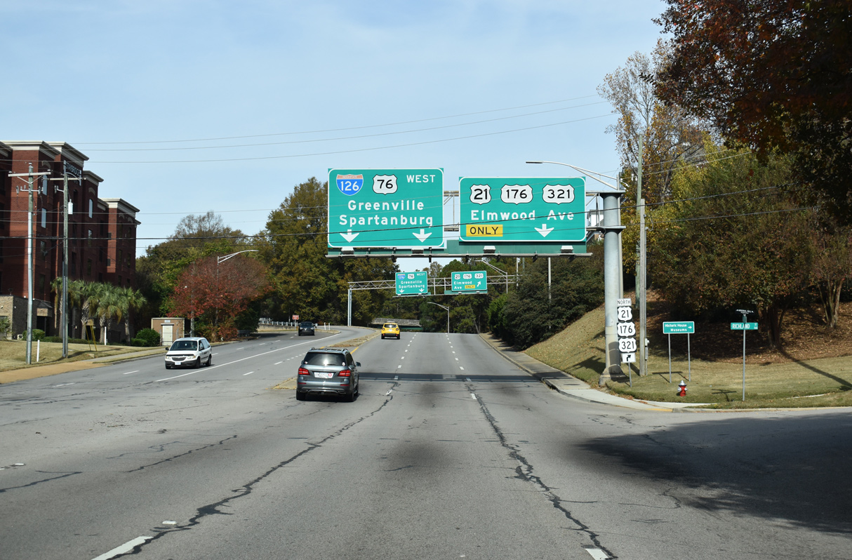
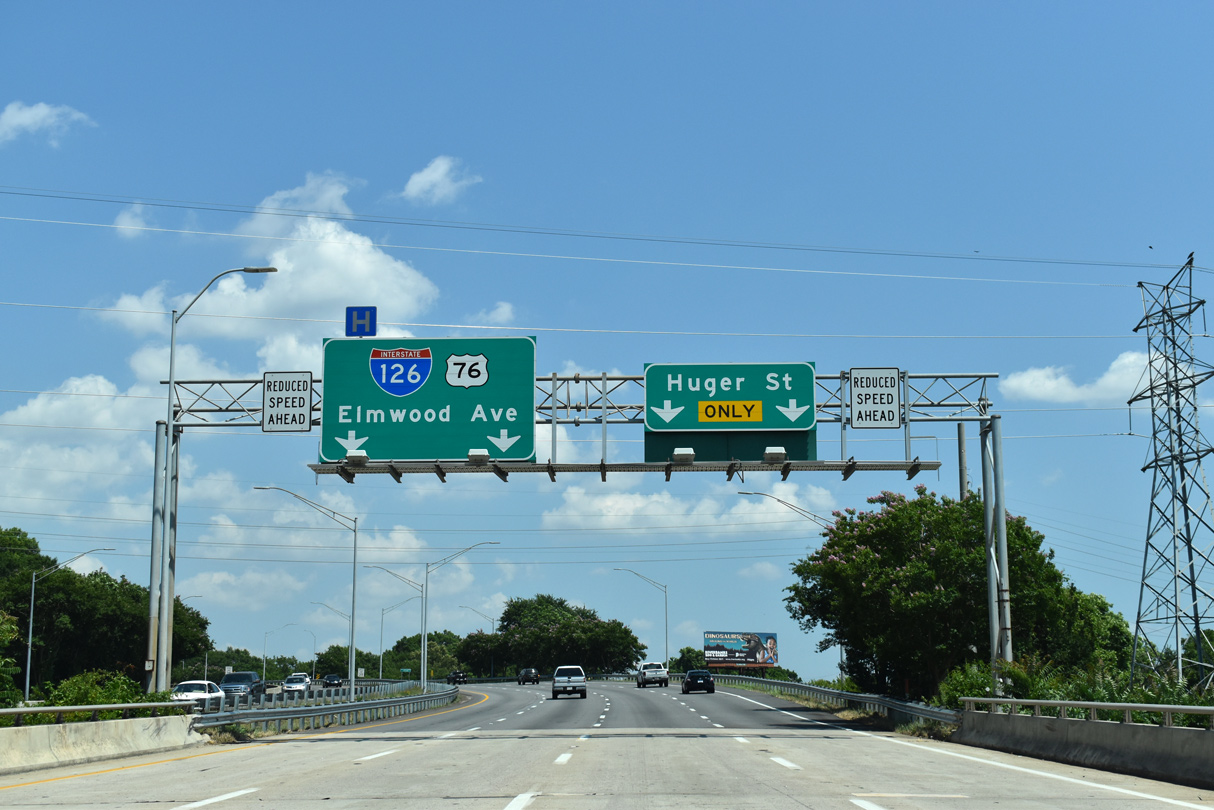
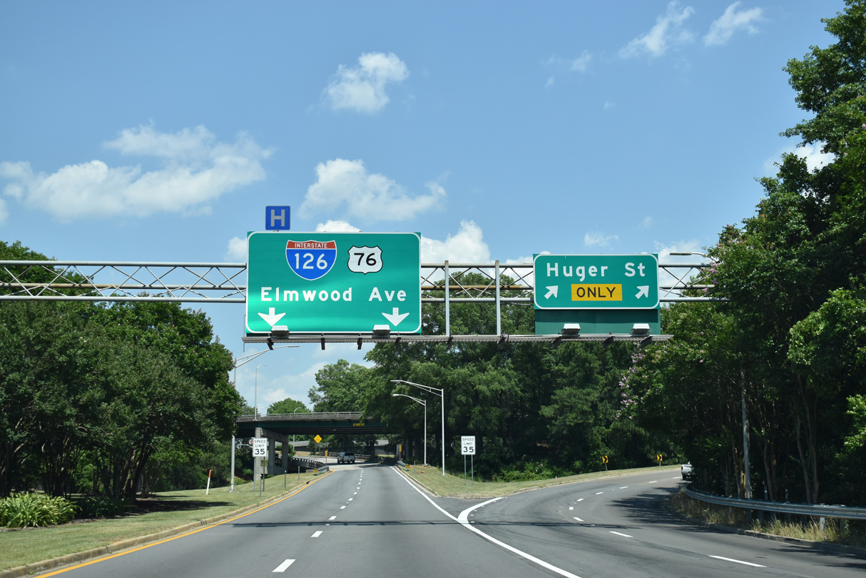
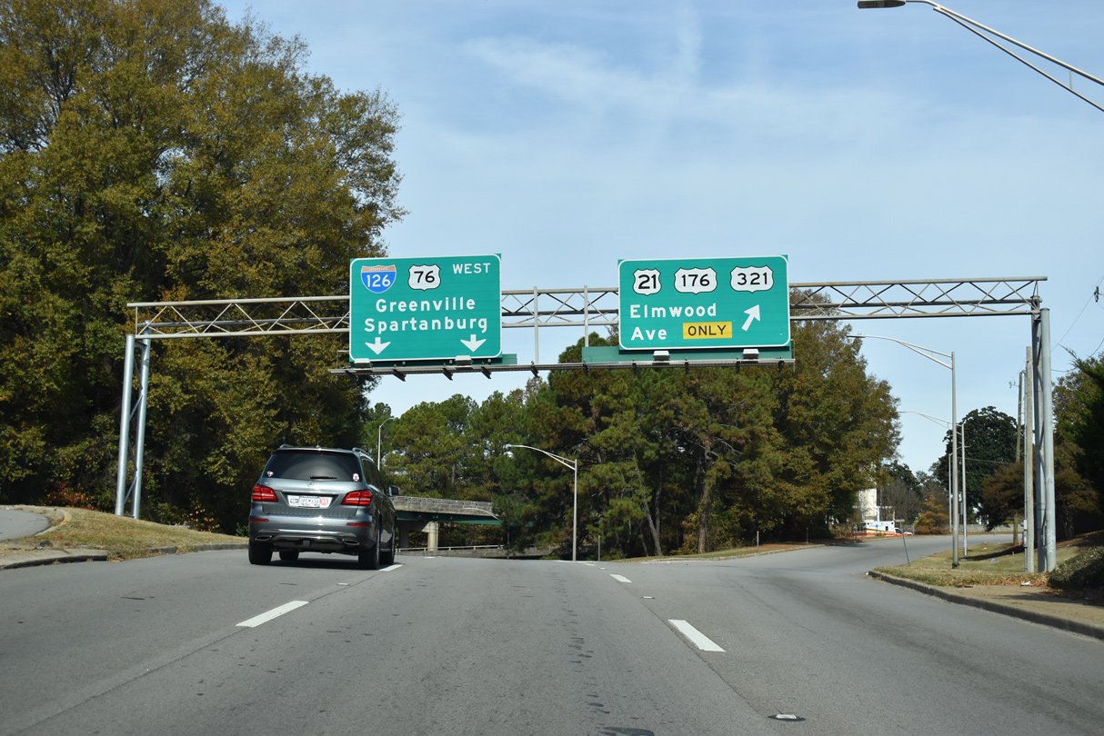
Huger Street carries U.S. 21-176-321 north from Blossom Street (U.S. 76 Connector), near the campus of USC, to the east end of Interstate 126 and U.S. 76 at Elmwood Avenue. 11/21/21
West at
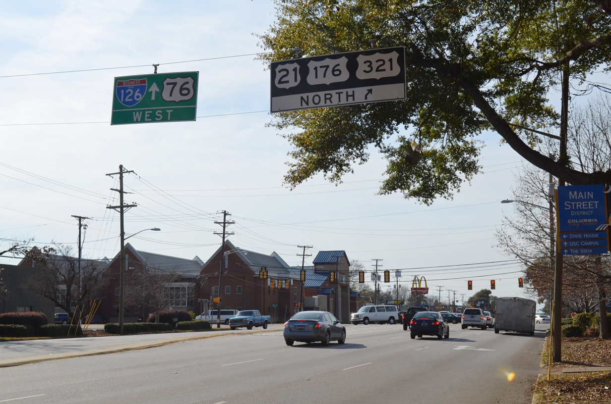
U.S. 76 turns west onto Elmwood Avenue from Bull Street (S.C. 277) and combines with U.S. 21-176-321 south at Main Street in three blocks. The ensuing half mile of Elmwood Avenue also represents Business Spur I-126. 12/20/13
West End  ‐ St. Andrews, SC
West at 
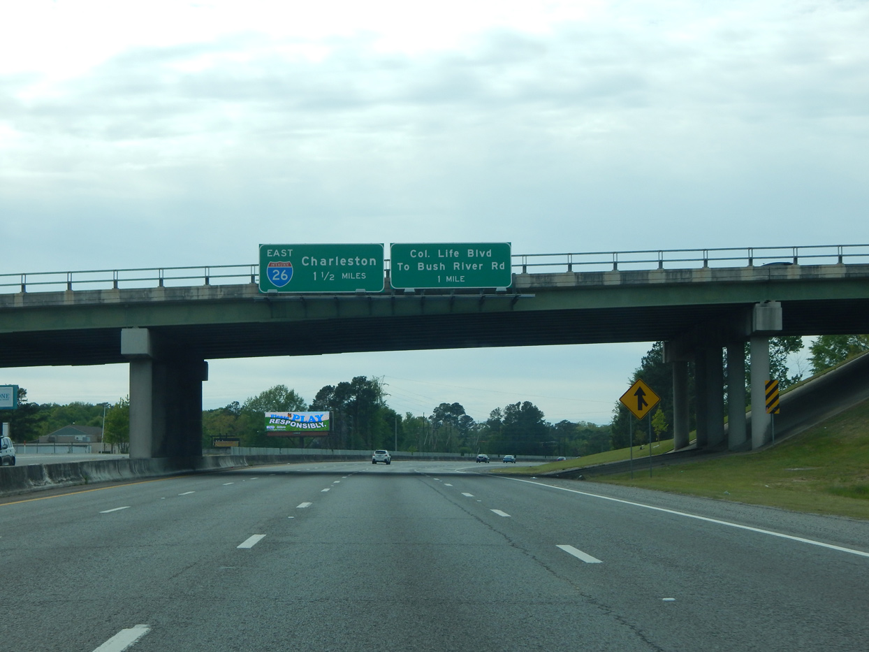
I-126/U.S. 76 lead west 1.5 miles from Greystone Boulevard to the flyover connecting with I-26 east to West Columbia and Cayce. Still ahead is the wye interchange for Colonial Life Boulevard north. Photo by Carter Buchanan (04/10/16).
East at
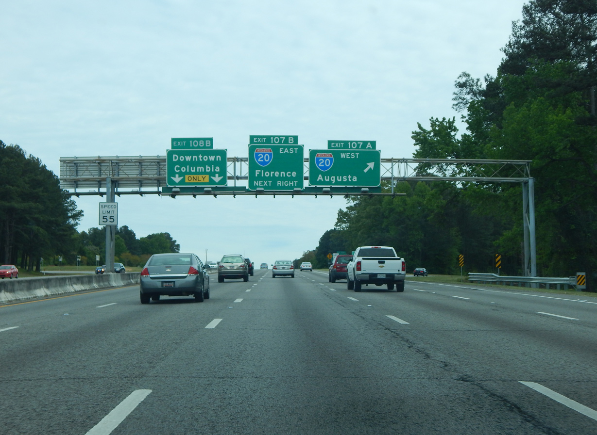
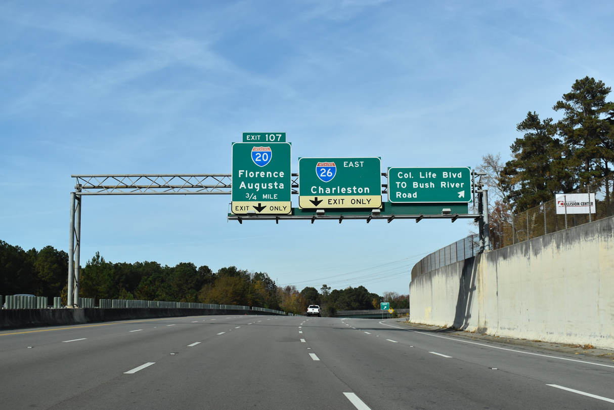
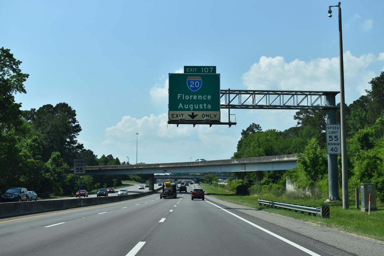
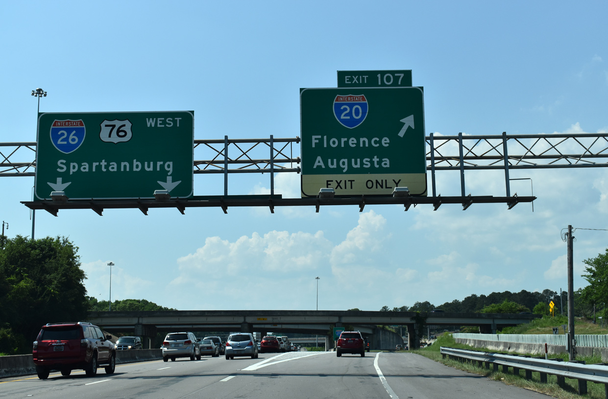
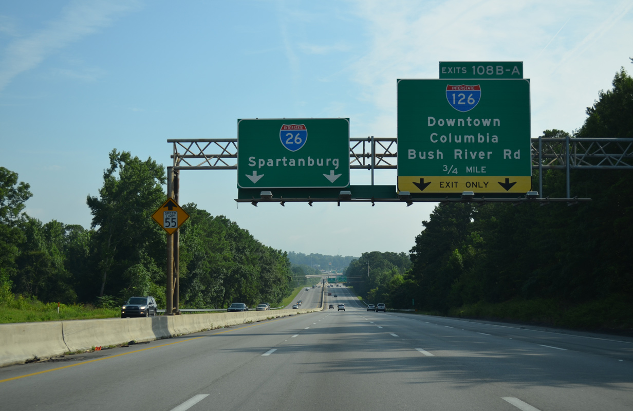
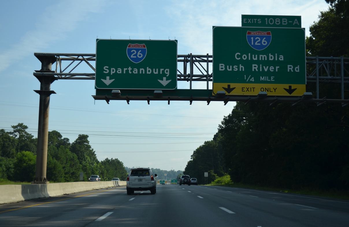
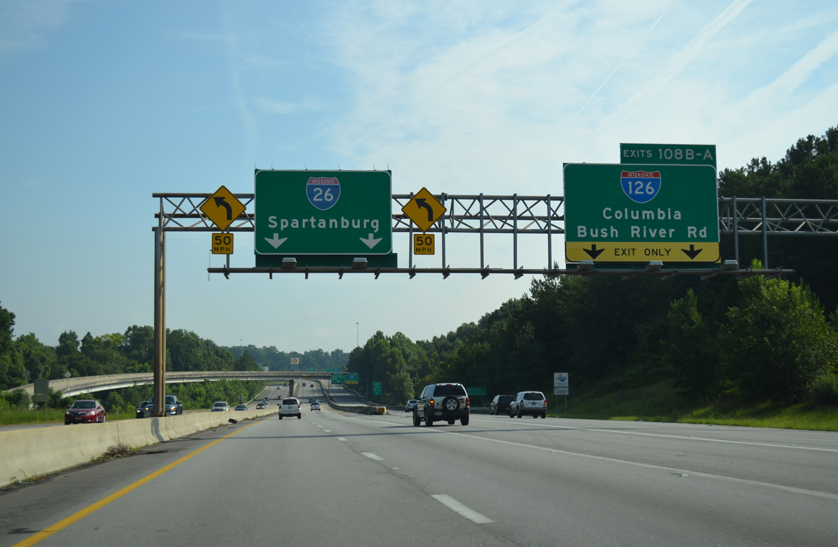
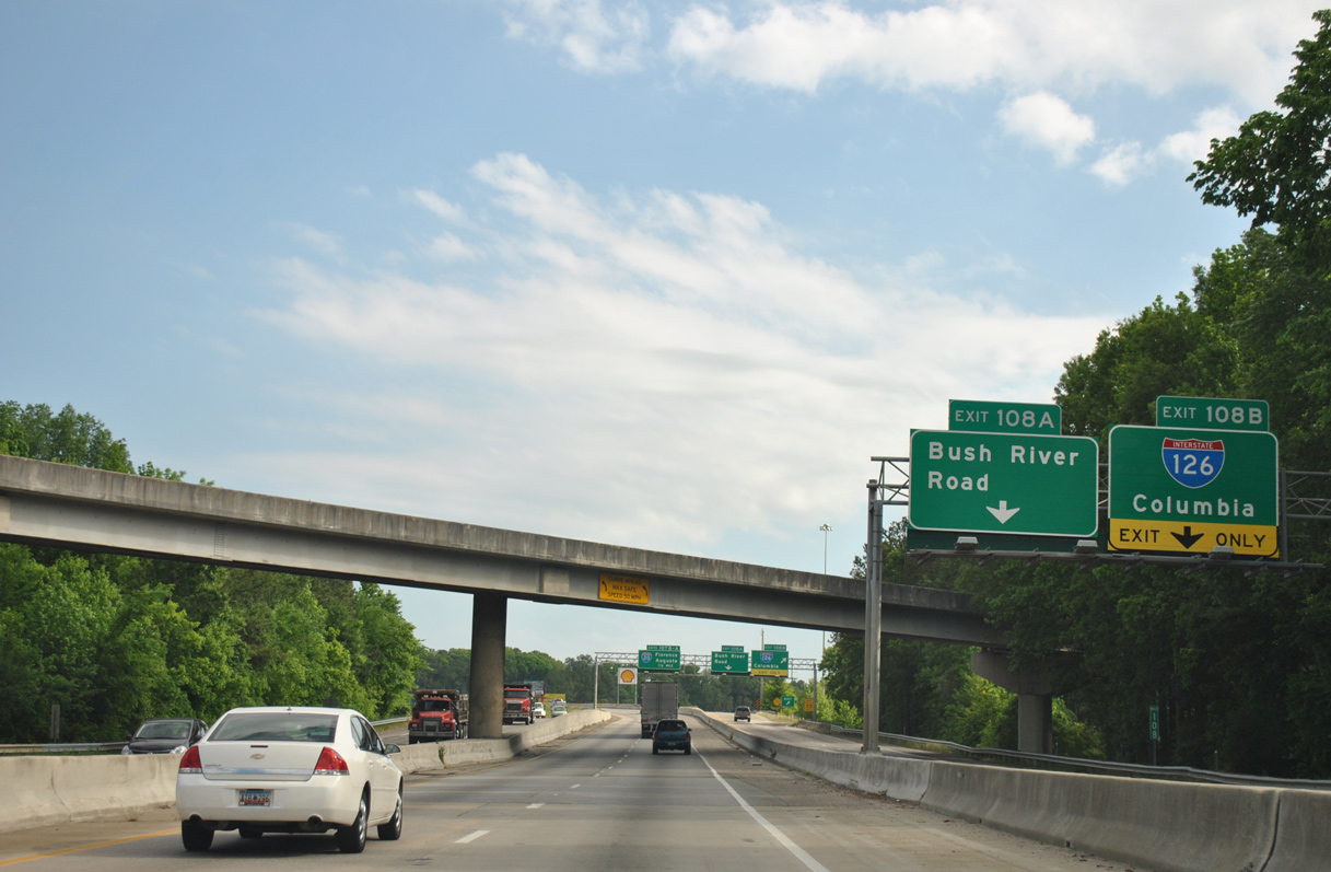
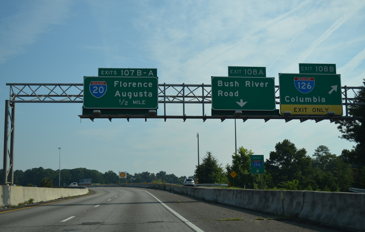
“Malfunction Junction” is the local name given to exchange of Interstates 26 and 20. Closely spaced interchanges on both freeways, coupled with the dated interchange design, results in weaving traffic patterns and regular congestion. Further compounding safety concerns is Left Exit 108 B for Interstate 126 east to Downtown Columbia. Photo by Carter Buchanan (04/10/16).
West at
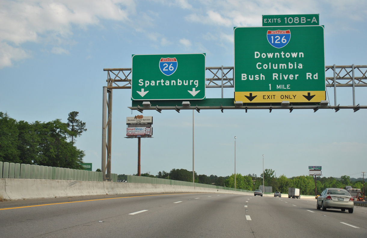
Interstate 26 turns northeast from the SPUI with U.S. 378 in West Columbia to the two-wye interchange (Exit 108) with I-126/U.S. 76 east and Bush River Road. 04/16/12
References
- Correll, E. (2019, May 14). Malfunction junction fix gets federal approval. WLTX. Retrieved from https://www.wltx.com/article/news/malfunction-junction-fix-gets-federal-approval/101-876654d6-4cba-42a5-b3db-5dbc66445d25
- outh Carolina Department of Transportation (SCDOT). (2019, May 13). Carolina Crossroads I-20/26/126 Corridor Project Receives Key Federal Approval. [Press release]. Retrieved from https://www.scdotcarolinacrossroads.com/FEIS-documents/01_ExecutiveSummary.pdf
- "First Interstate Road Stretch Opened in South Carolina." The Index-Journal (Greenwood, SC), September 7, 1960.
- "I-26, a milestone, is 10 years old." The Index-Journal (Greenwood, SC), February 28, 1979.
- "A Failure to Communicate? - Travelers Follow the Signs to Crossroads of Confusion." The State (Columbia, SC), May 26, 1994.
- Neville, N. (2021, November 8). SCDOT, Governor McMaster hold groundbreaking on years-long project to improve 'Malfunction Junction'. WIS TV-10. Retrieved from https://www.wistv.com/2021/11/08/mcmaster-participates-groundbreaking-malfunction-junction/