
Interstate 91
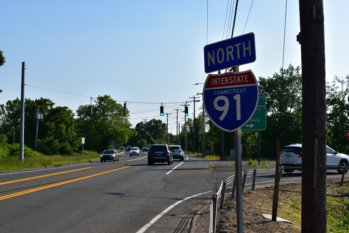
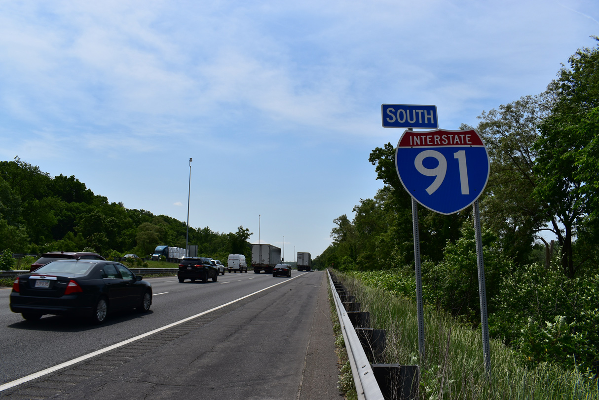
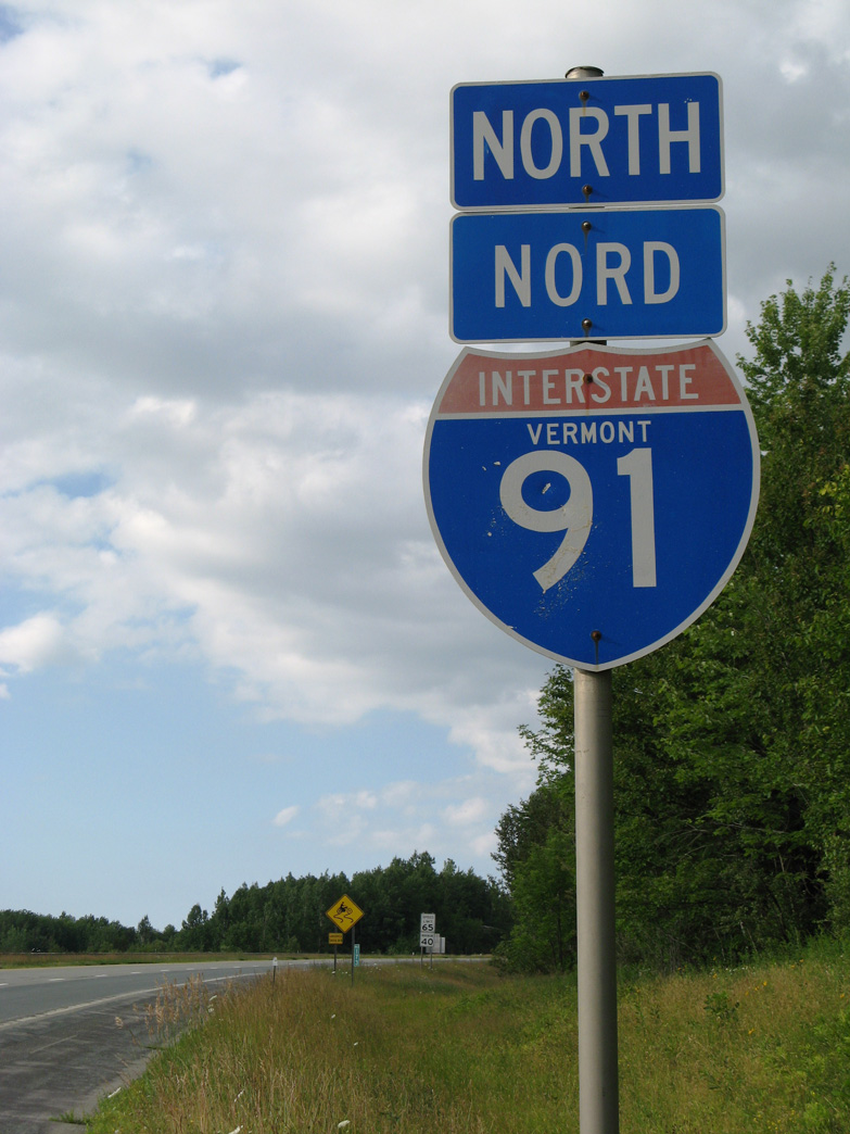
Overview
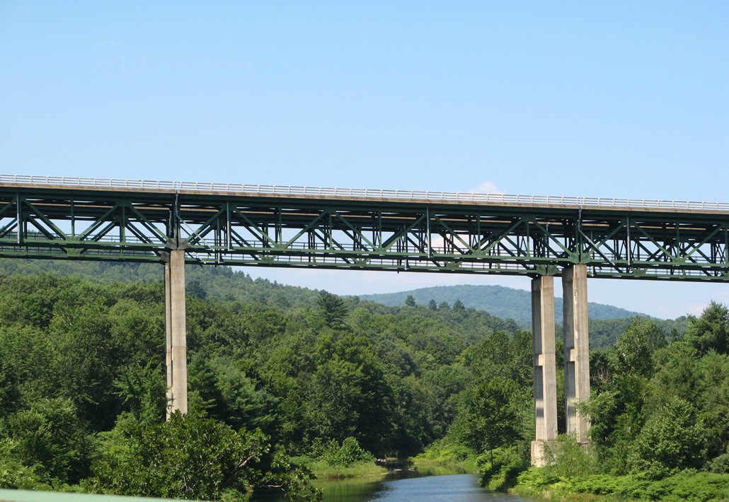
Interstate 91 provides a backbone route for western New England. Throughout Connecticut and a good portion of Massachusetts, I-91 serves populous areas and old industrial cities, including New Haven, Hartford and Springfield. North of there, it parallels the Connecticut River along the picturesque border of Vermont as it nears the "La Belle Province" of Québec.
Mileage by State
| Connecticut | 58.00 mi |
| Massachusetts | 54.99 mi |
| Vermont | 177.38 mi |
Data Sources
December 31, 2021 Interstate Route Log and Finders List
High Priority Corridor
I-91 in Connecticut is part of High Priority Corridor 66: Interstate 91 Connecticut.
Parallel U.S. Routes
Interstate 91 primarily bypasses communities along U.S. 5 in Connecticut, Massachusetts and Vermont. I-91 also overlaps with U.S. 20 briefly through Springfield.
History
Within Massachusetts, Interstate 91 opened first from both Connecticut north to Springfield and from U.S. 5/Route 10 north of Greenfield to the Vermont state line in 1960. The 55 mile long route through the Bay State was completed in 1970.4
Interstate 91 from the Massachusetts State line north to Brattleboro in Vermont opened to traffic on November 1, 1958.1 This was the first route with controlled access completed in Vermont.
Within Vermont, Interstate 91 was built in stages in the late 1950s and through the 1960s. Specific opening dates for certain segments are as follows:2
- Guilford to Vernon (5.879 miles) - November 1, 1958
- Vernon to Brattleboro (1.942 miles) - July 31, 1959
- Brattleboro (3.918 miles) - October 5, 1960
- Brattleboro to Putney (11.055 miles) - December 6, 1961
- Putney to Westminster (2.973 miles) - August 10, 1962
- Derby (2.812 miles) - November 20, 1962
- Derby (2.106 miles) - August 21, 1963
- Westminster to Rockingham (9.437 miles) - November 7, 1963
- Rockingham to Ascutney (16.319 miles) - 1965
Near St. Johnsbury (between Wells River and Glover), two alternative alignments for Interstate 91 were submitted by the state of Vermont to the federal Bureau of Public Roads. One route stayed close to U.S. 5 through McIndoe Falls, Barnet, St. Johnsbury and Lyndonville, then shifted to Vermont Route 122 through Wheelock and Sheffield to Glover. The other alignment took an entirely different course between Wells River and Glover, offering a more direct path through Danville. The first alternative was the one ultimately built.3
Though New Haven, Interstate 95 opened to traffic as part of the Connecticut Turnpike in 1958. The route was built on landfill through Long Wharf and across the Quinnipiac River. Route 34, the Oak Street Connector, tied into the turnpike by 1960. I-91 was added to the mix when it was completed in 1966.1 The complicated exchange joining the three limited access routes was dubbed the "Mixmaster Interchange."
New Haven Harbor Crossing Corridor Improvement Program
Major reconstruction of the Mixmaster Interchange went to bid on April 28, 2010 as part of CTDOT's $2 billion New Haven Harbor Crossing Corridor Improvement Program. Work involved relocating left exit ramps to Route 34 and I-91 from Interstate 95 north, eliminating a weaving traffic pattern, roadway widening and increasing the spacing between exits. Construction ran in tandem with the $433 million replacement of the Q Bridge (Pearl Harbor Memorial Bridge) along Interstate 95.5
The left side connection to Interstate 91 north from I-95 north was permanently replaced with a new right side exit on July 16, 2016. The change represented the last major traffic shift in the six-year project. Remaining work through September 2016 expanded each merge to two lanes and completed a fifth lane along I-95 north across the Pearl Harbor Memorial Bridge (scheduled for August 22). Final work on the overall interchange project wrapped up in 2017.6
Are you prepared for New Haven's "big flip"? I-95 NB Exit 48 to I-91 NB will be on right! https://t.co/dyefDVsPgt pic.twitter.com/YNnjvXZp8J
— Q-Bridge (@QBridgeProgram) July 13, 2016
Costing $148 million, the I-91 Viaduct Rehabilitation Project replaced the decks of the elevated roadway taking I-91 through Springfield, Massachusetts. Work also made safety improvements at the exchange with Interstate 291. The bulk of construction was completed by January 2018, around nine months ahead of schedule. All northbound lanes for I-91 opened previously on December 8, 2017, followed by completion of the entrance ramp from State Street on December 18, 2017. Finished in Summer 2018, associated work to the south replaced the overpasses taking I-91 over Union and Broad Street.8
North End ‐ Canadian International Border - Derby Line, VT
 North
North
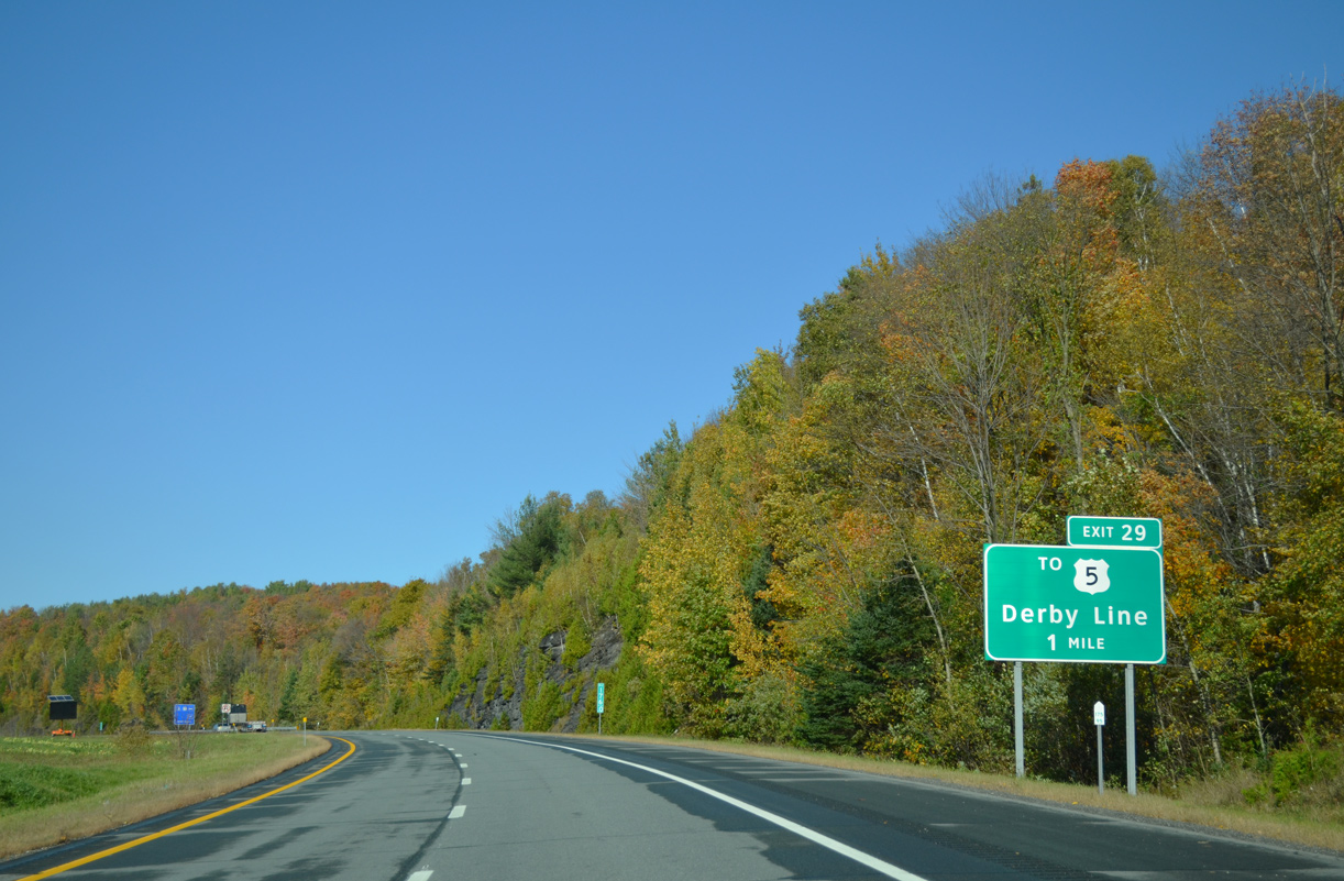
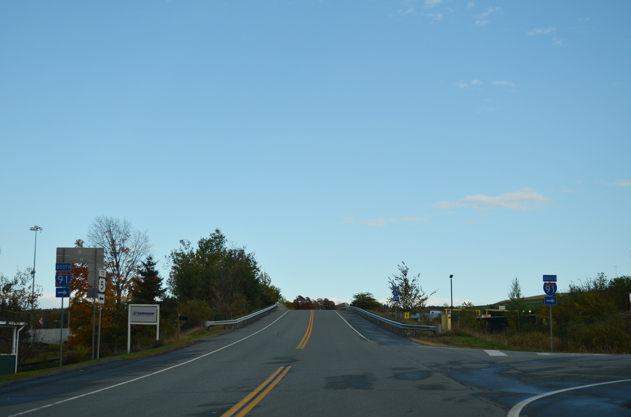
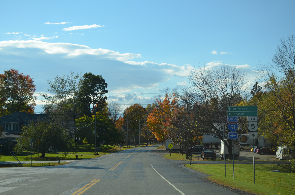
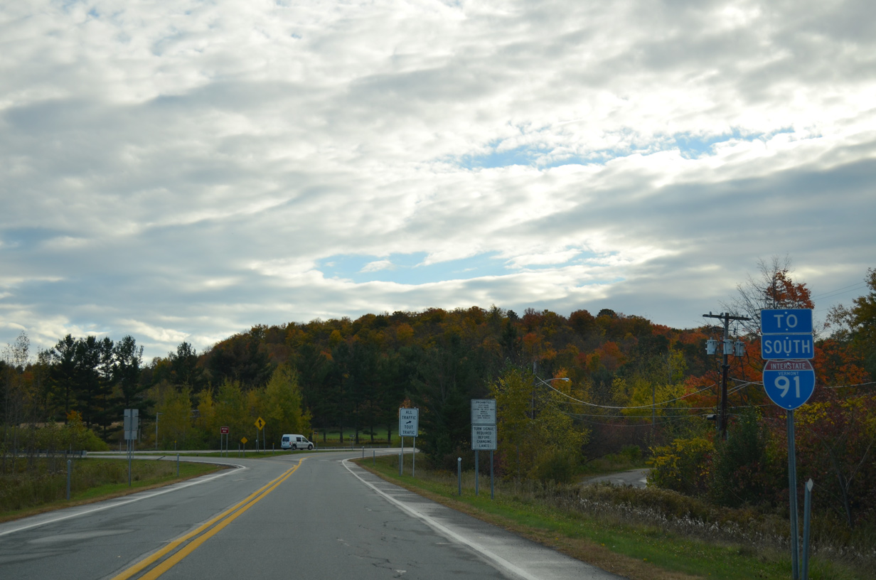
Interstate 91 navigates through an S-curve northward into Derby Line, concluding in one mile at Caswell Avenue (Exit 29). 10/08/14
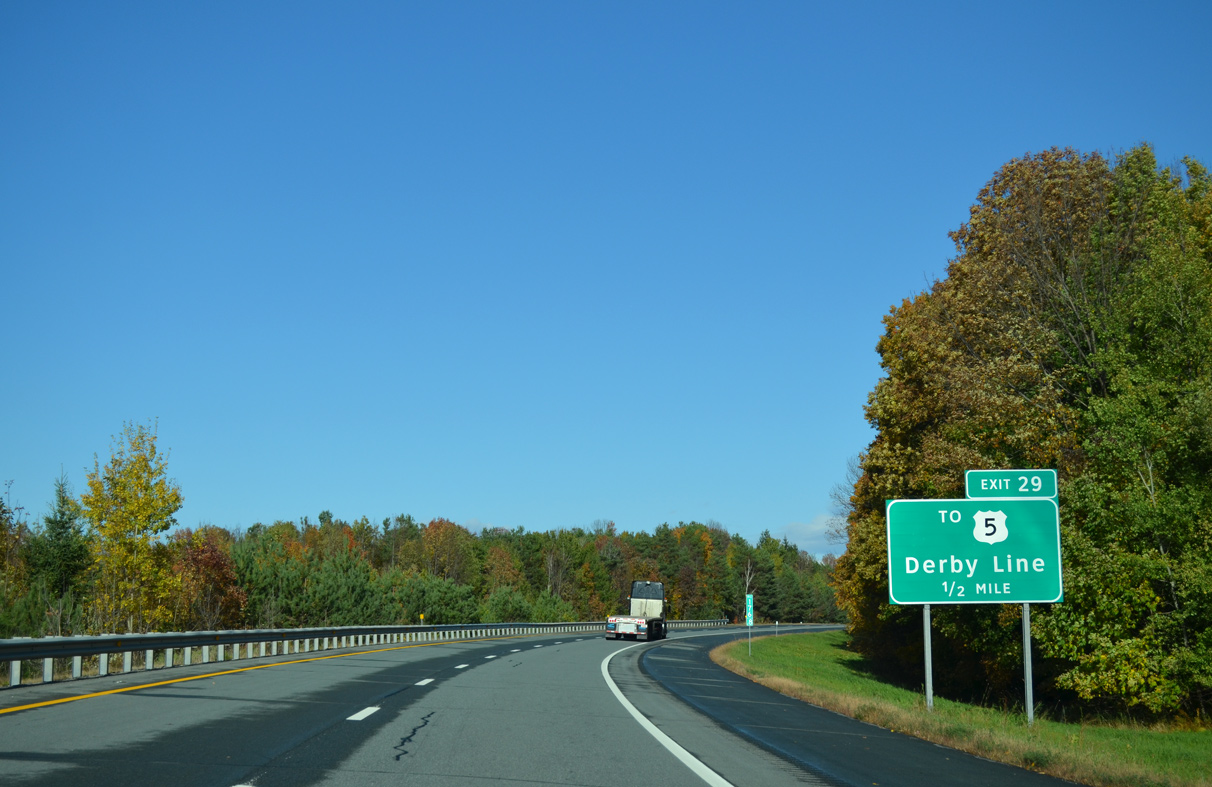
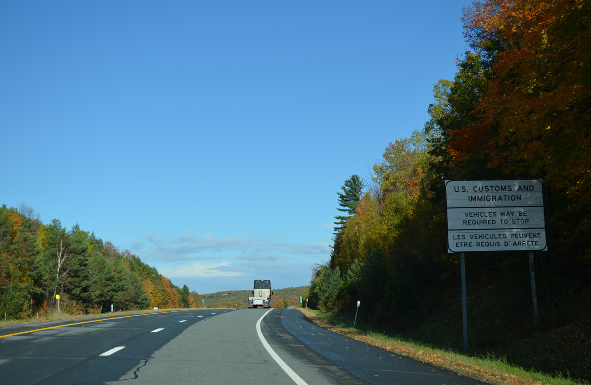
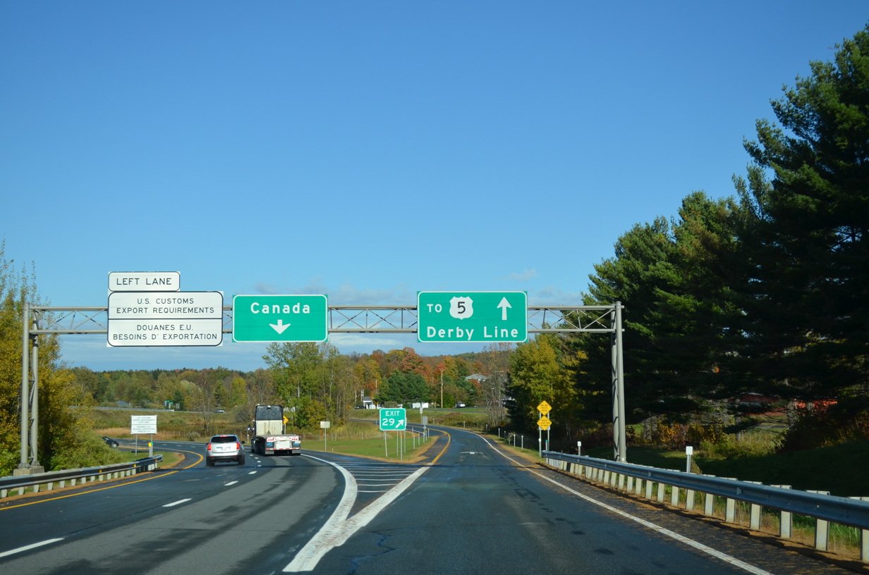
Caswell Ave at
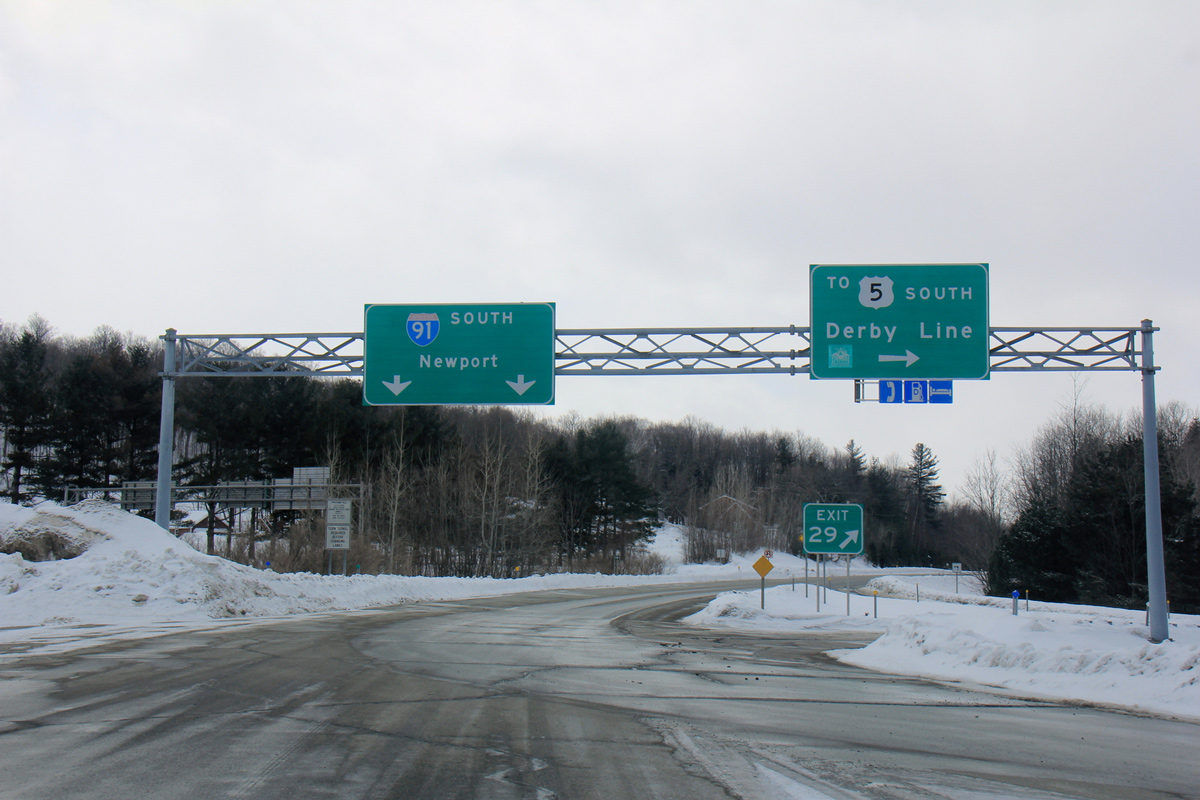
Autoroute 55 transitions into Interstate 91 south leading into the community of Derby Line, Vermont. Exit 29 loops away from the freeway to Caswell Avenue beyond the U.S. border station. Photo by Shaun Ganley (03/22/15)
South End  ‐ New Haven, CT
South at
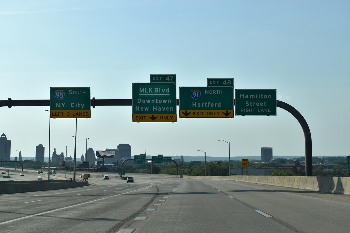
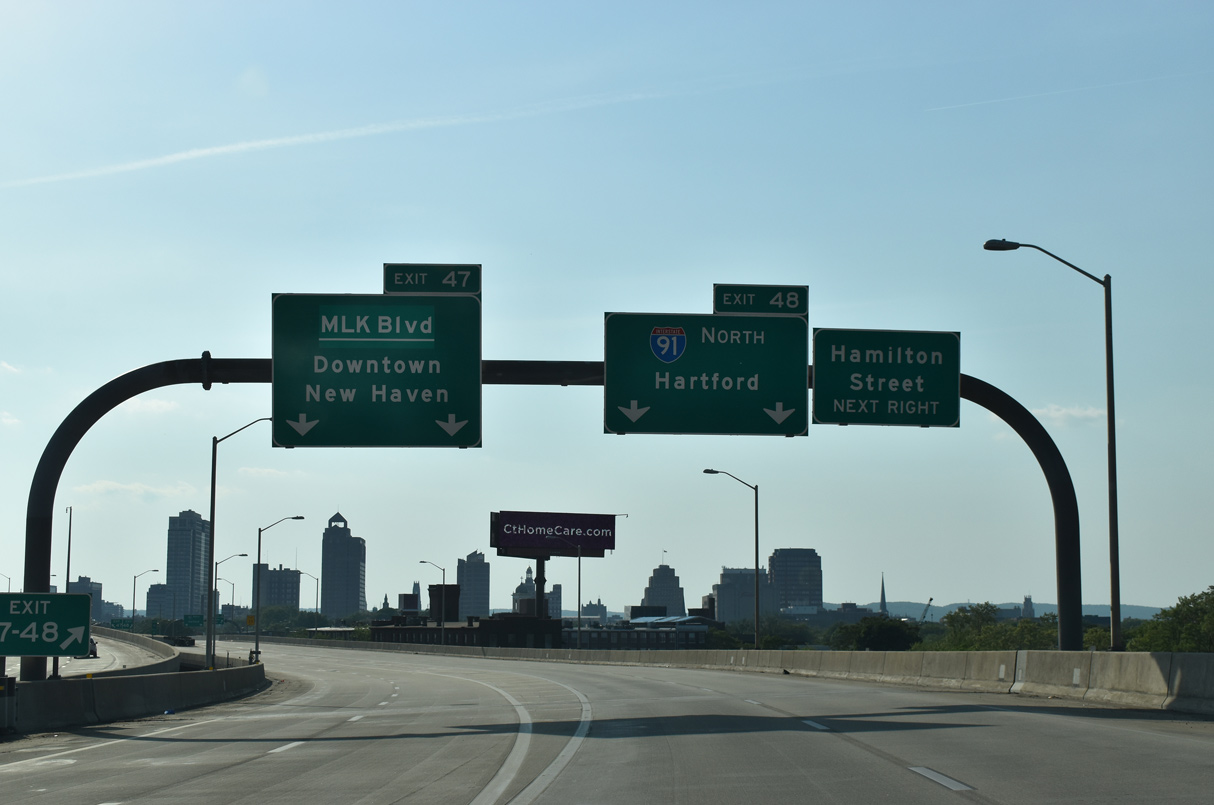
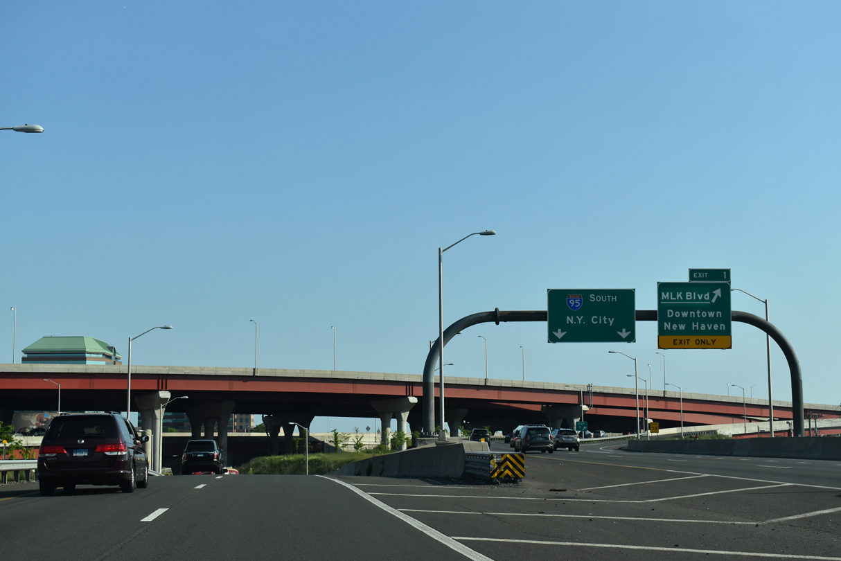
Advancing west to the Mixmaster Interchange with I-91 and Route 34, I-95 travels below grade west from East Haven through The Annex neighborhood in New Haven. 05/30/22
North at
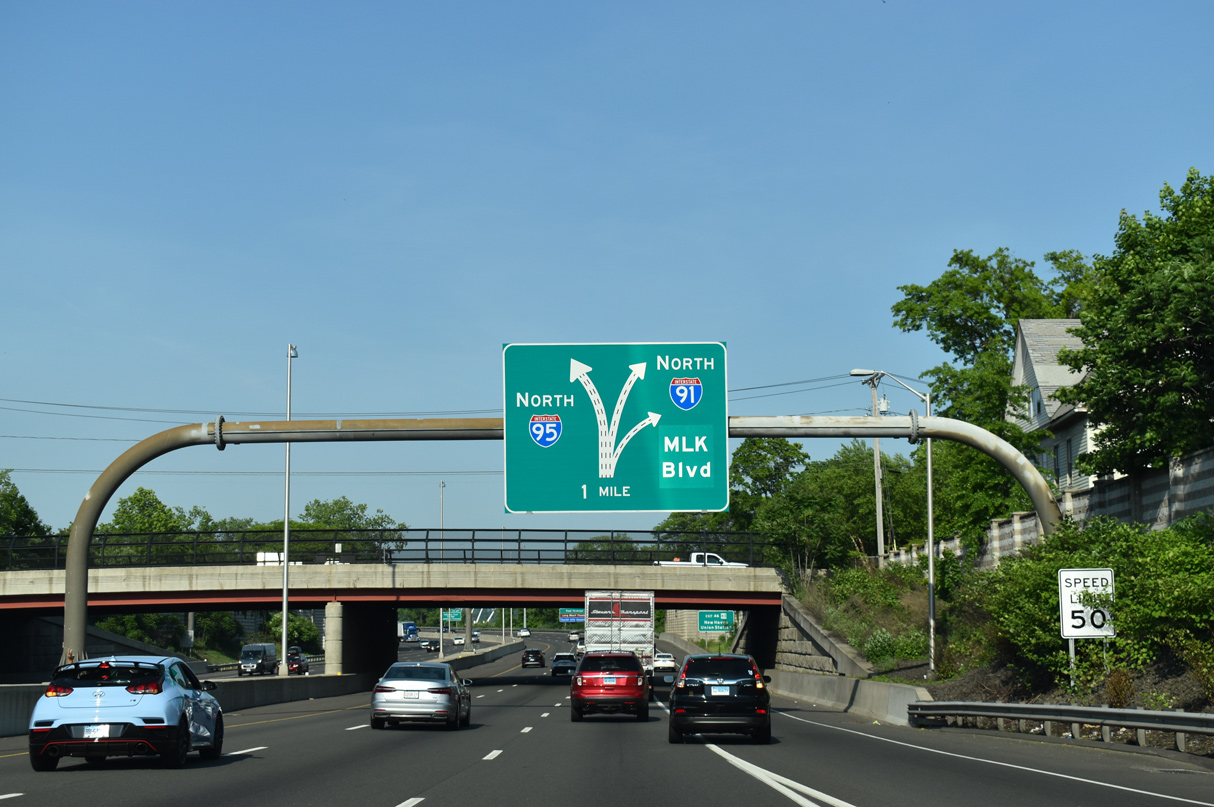
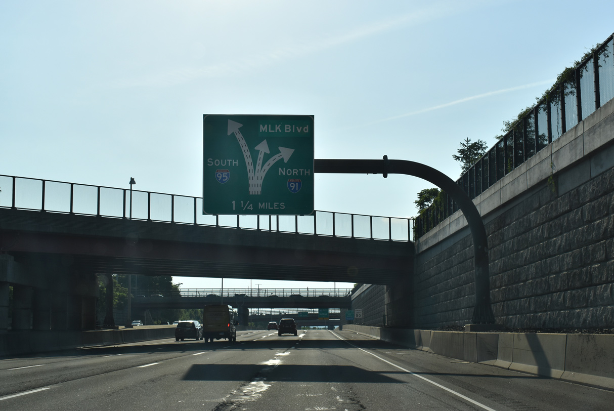
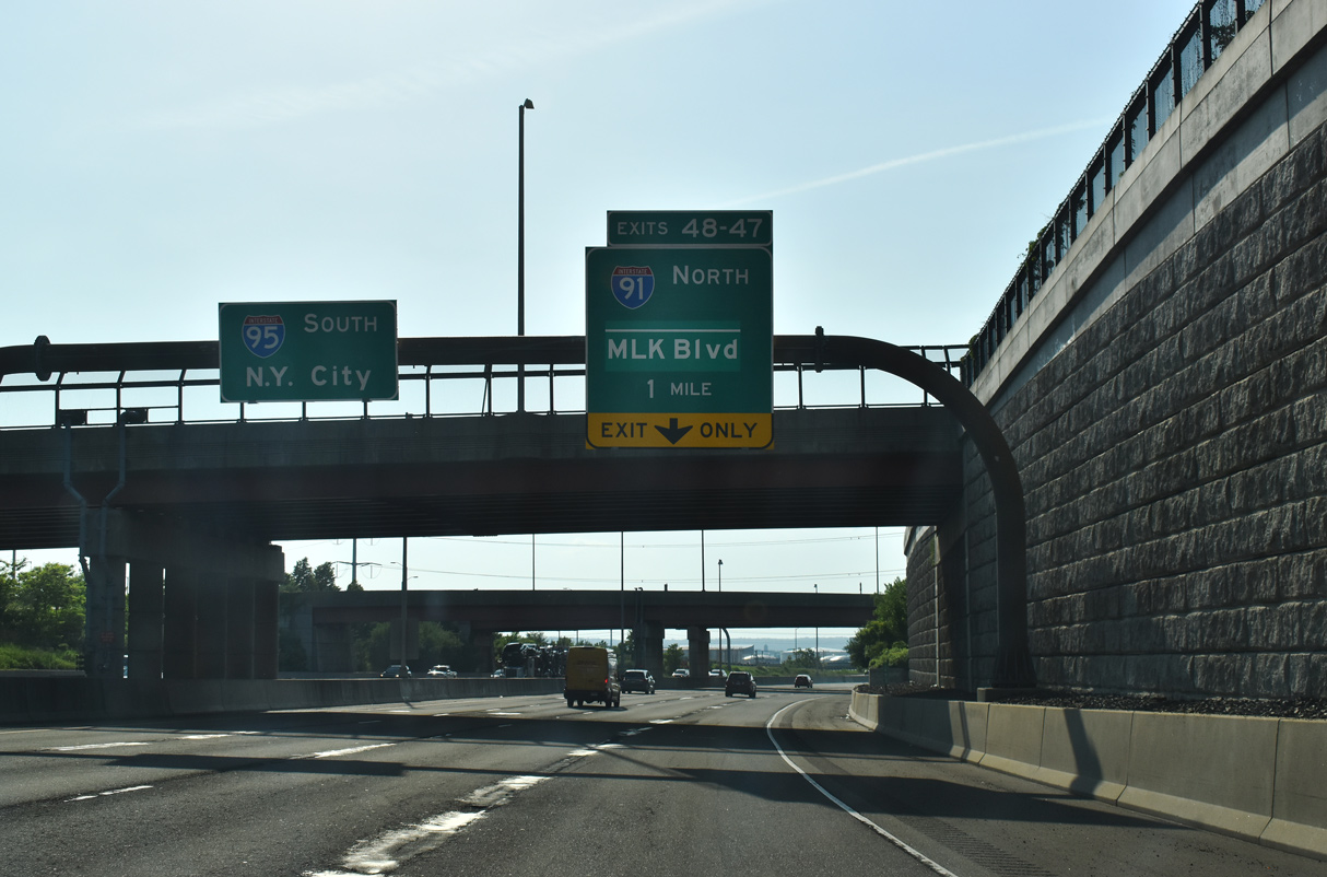
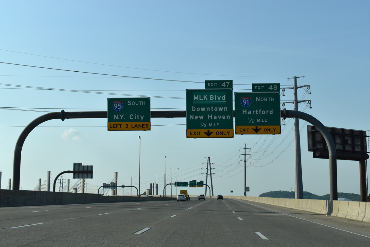
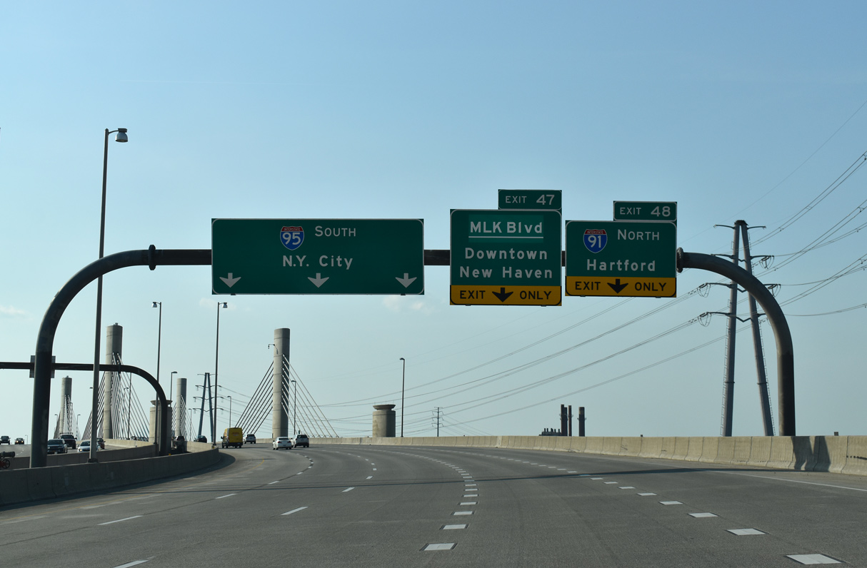
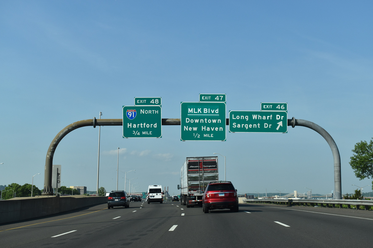
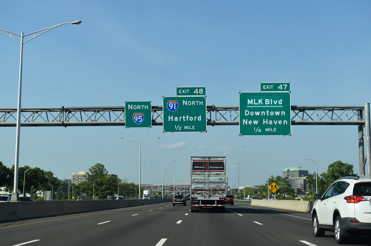
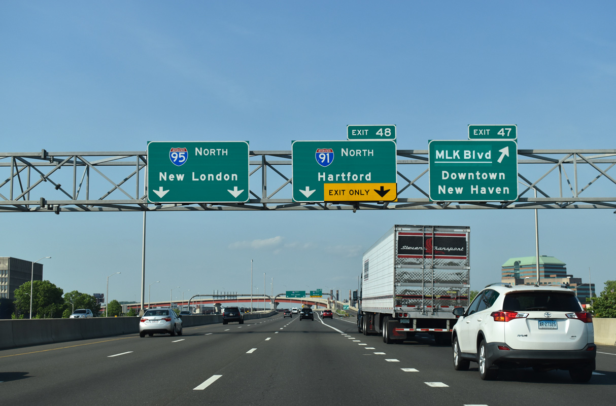
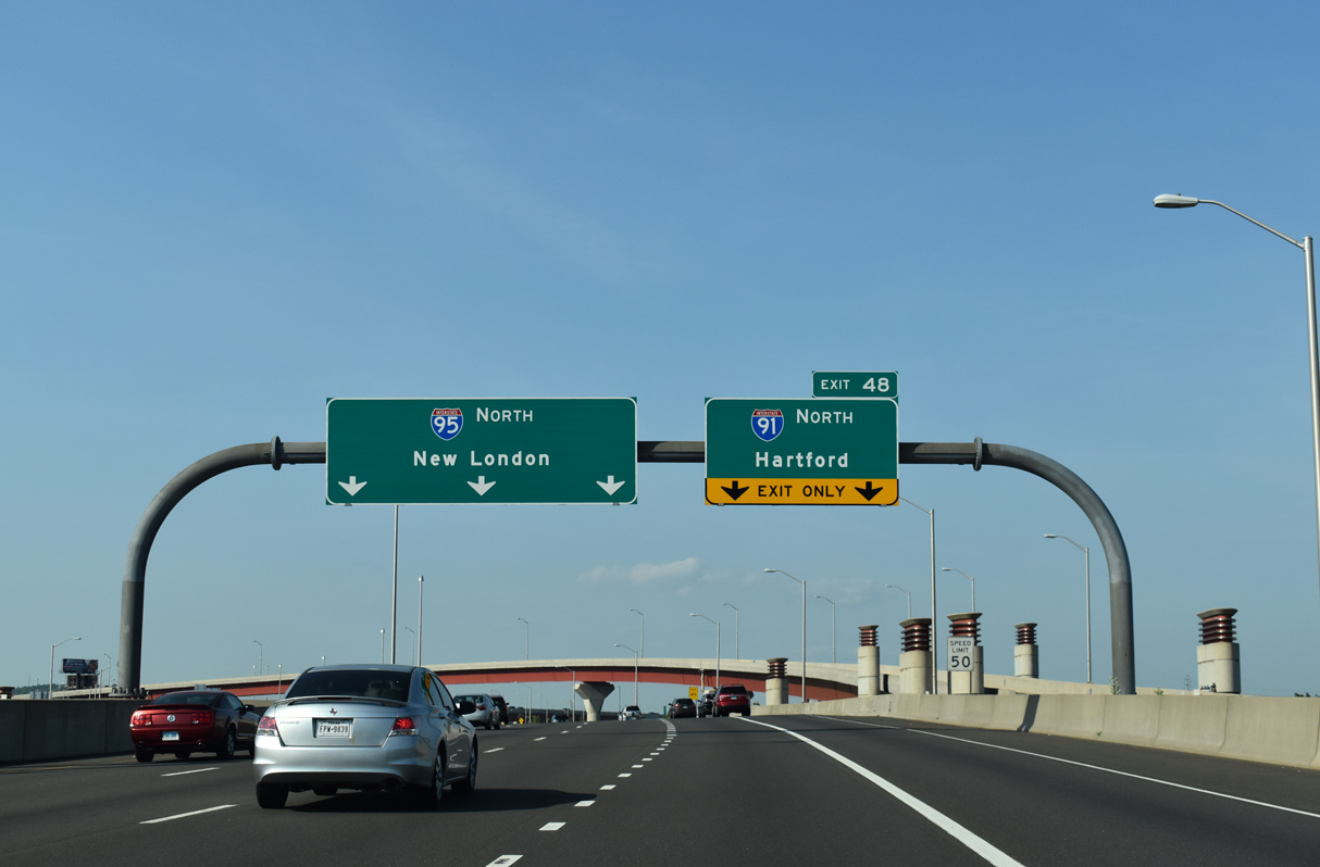
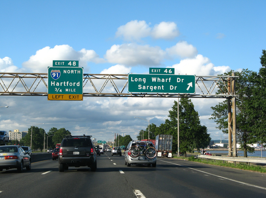
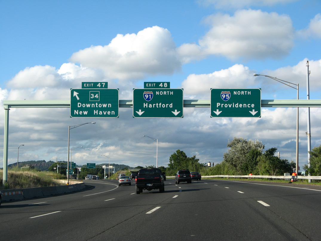
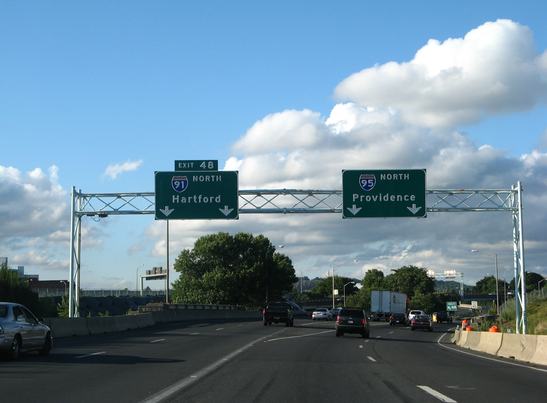
The New Haven Harbor Crossing Corridor Improvement Program expanded I-95 east into the Mixmaster Interchange with I-91 with a fourth northbound lane. Route 34 was replaced with MLK Boulevard on signage for Exit 47 in 2017. 05/30/22
South at
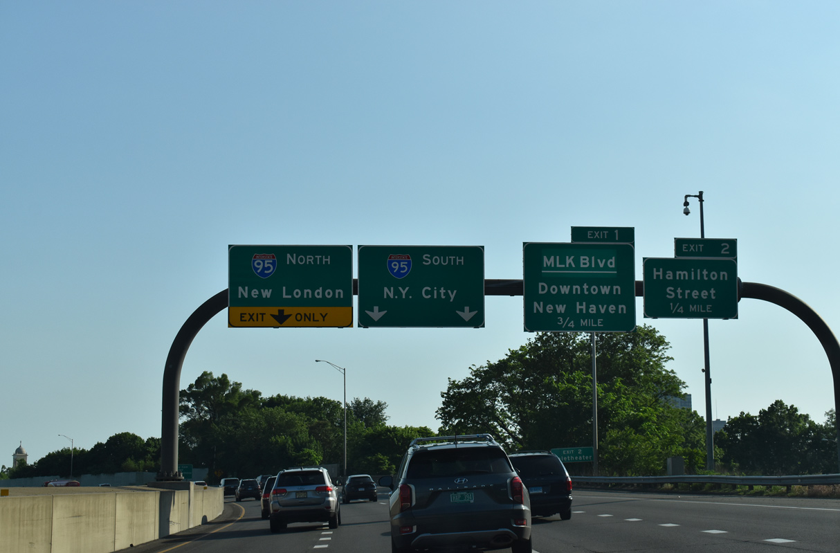
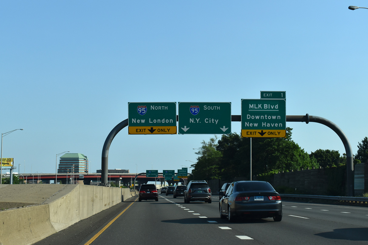
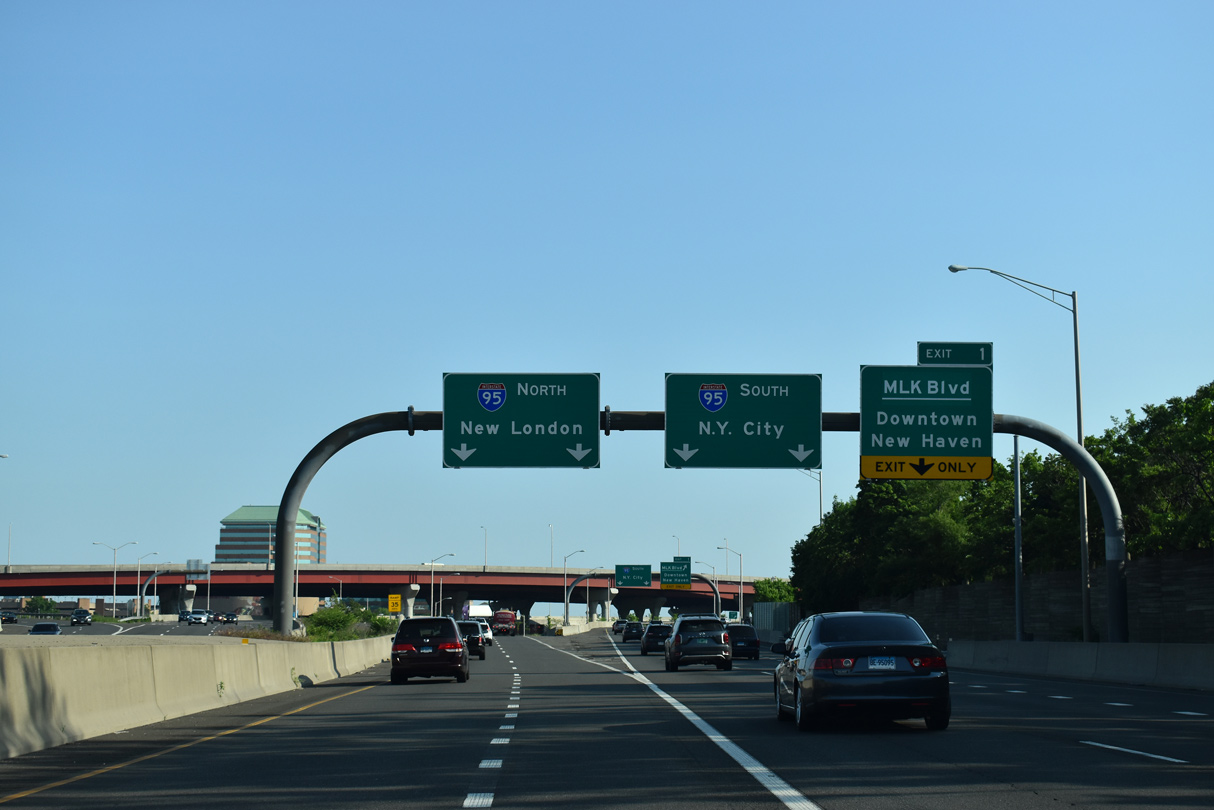
Interstate 91 advances toward Downtown New Haven south from the end of U.S. 5 alongside State Street. 05/30/22
Oak Street Connector – East at
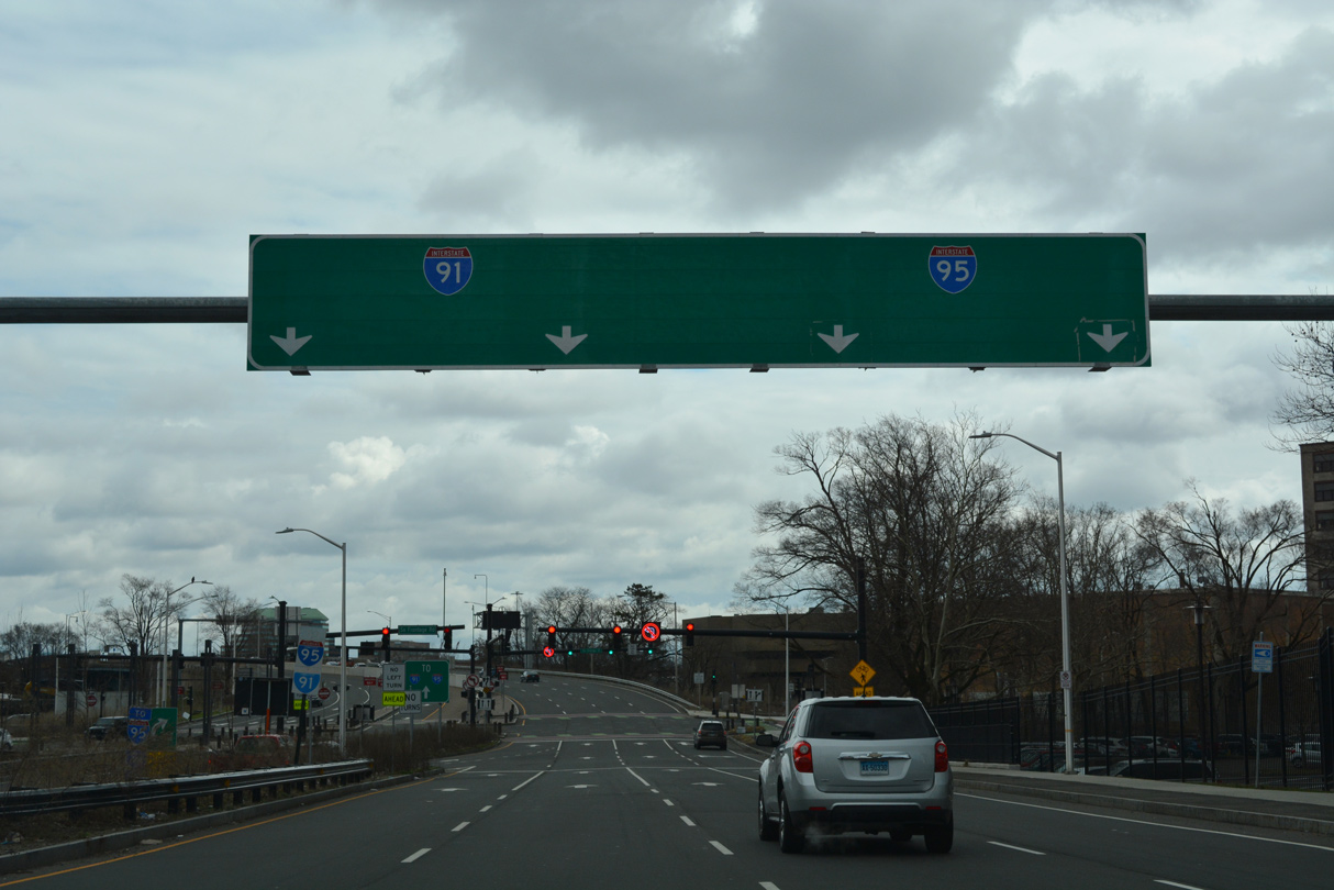
S Frontage Road (Route 34) transitions east onto the Oak Street Connector leading into the Mixmaster Interchange with I-91/95 beyond Orange Street. 03/28/23
North
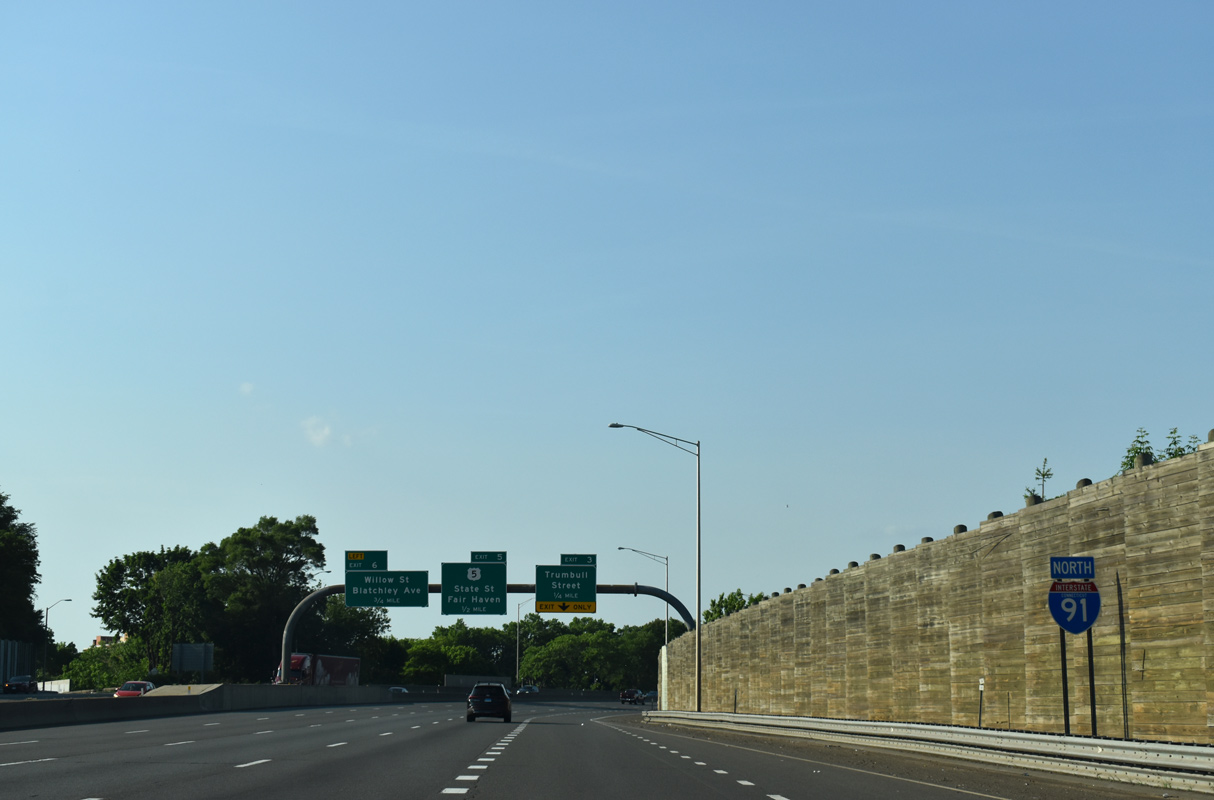
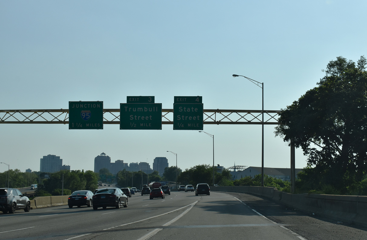
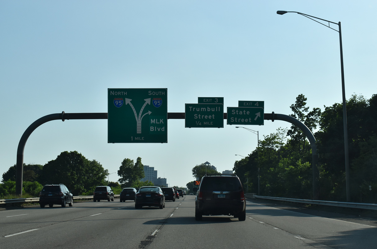
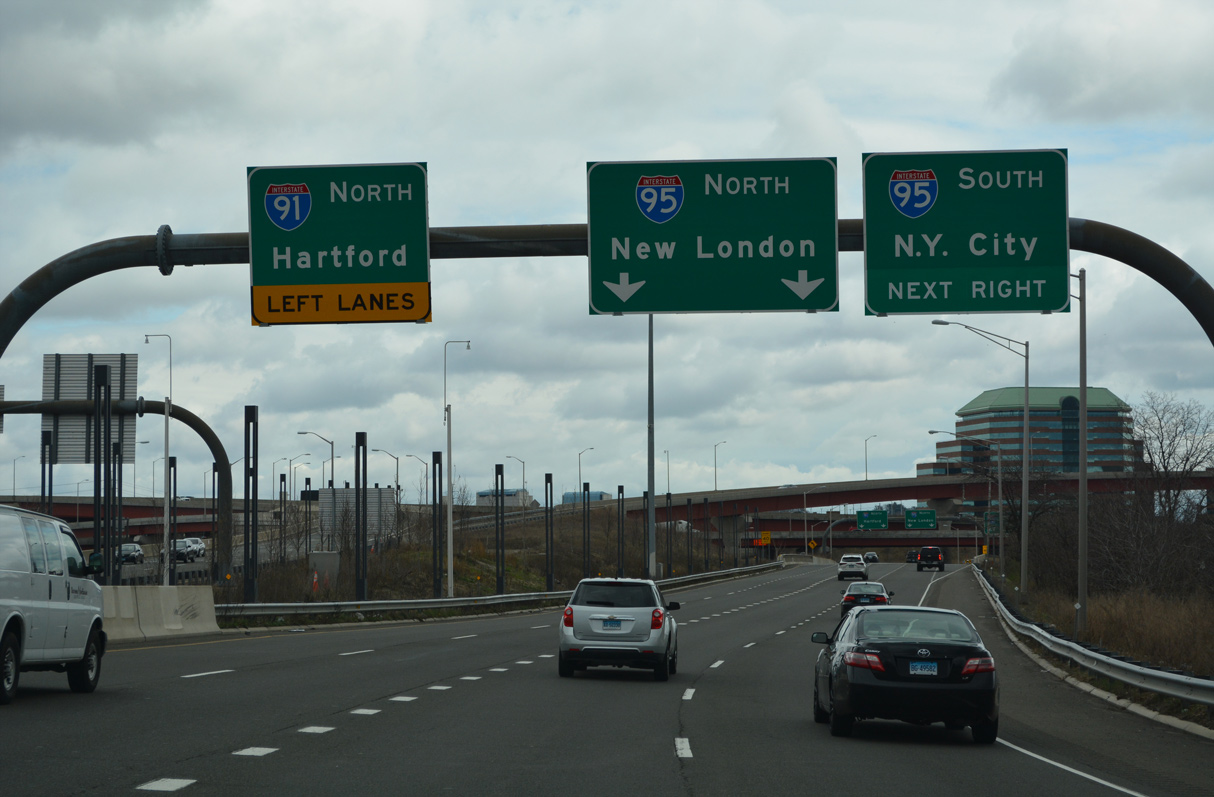
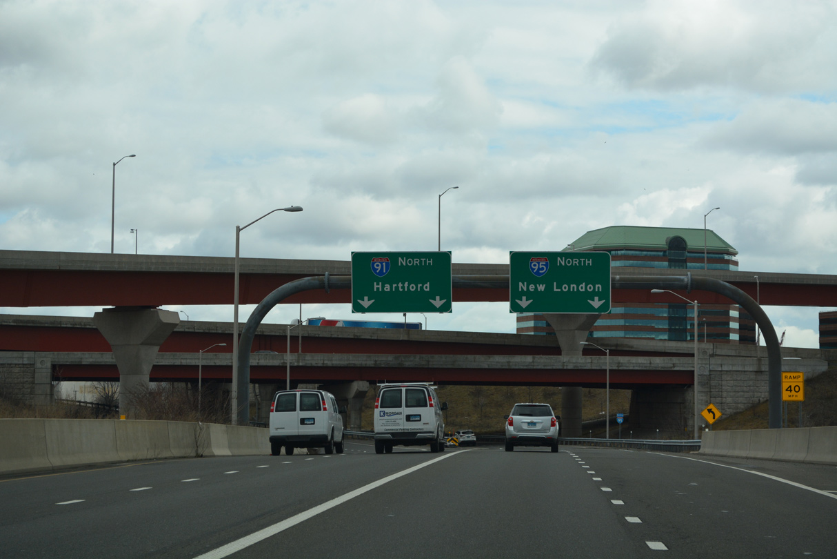
The first confirming marker for Interstate 91 precedes Exit 3 to Trumbull Street in New Haven. Exit 2 is accessible only from the ramp to I-91 from I-95 southbound. 05/30/22
South End – Past Views
Past Views Gallery (Tap to Expand / Collapse Section)
South at
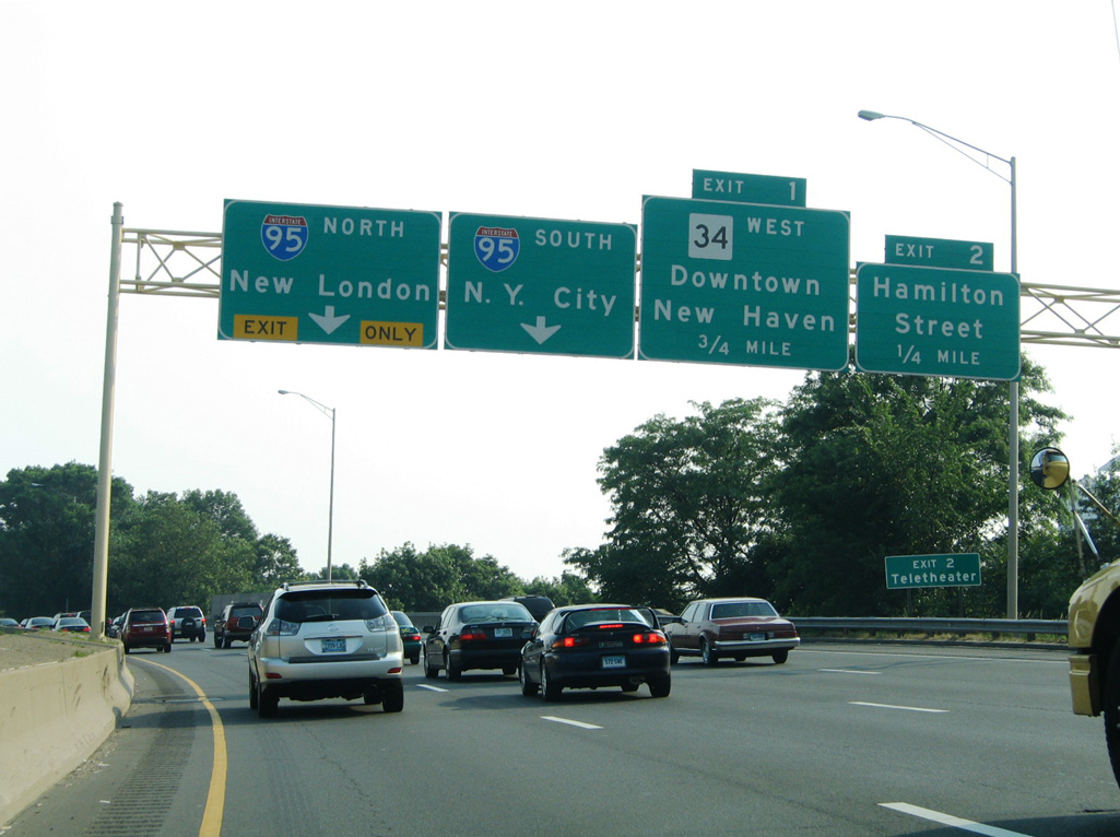
Ramps for Hamilton Street (Exit 2) and Route 34 (Richard C. Lee Connector) depart in advance of the Mixmaster Interchange with I-95. 06/26/05
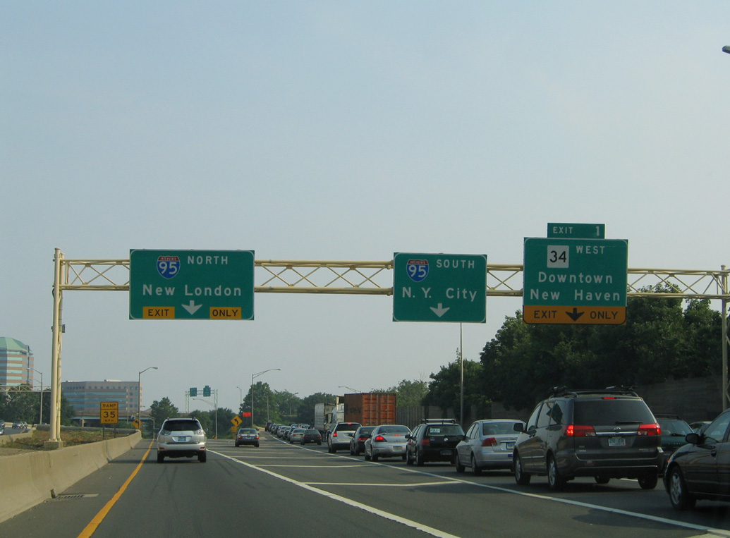
North at
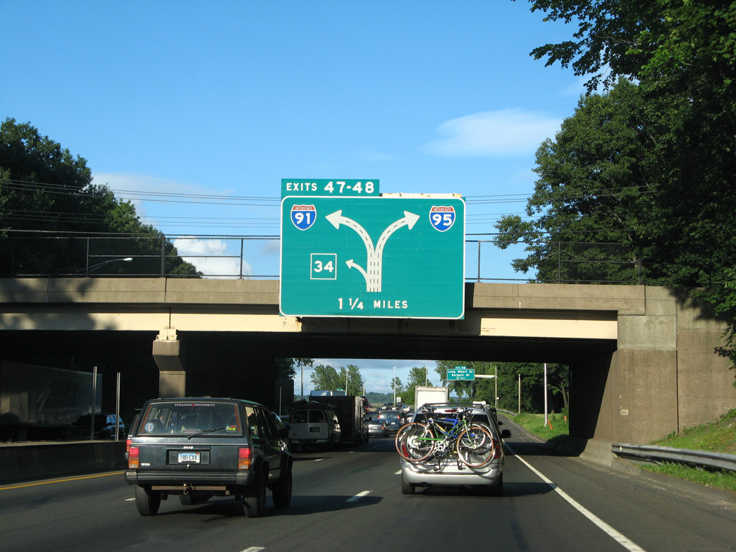
A large diagrammatic overhead preceded the exchange (Exits 47/48) with Route 34 west and I-91 north at the Howard Avenue overpass along Interstate 95 north. 07/27/07
References
- Federal Highway Administration (FHWA). Celebrating the 50th Anniversary of the Eisenhower Interstate Highway System: Previous Interstate Facts of the Day. Retrieved from https://www.fhwa.dot.gov/interstate/previousfacts.cfm
- Outline History of Vermont State Highways - National Highway Week, September 19-25, 1965. Prepared for informational purposes only by the Vermont Department of Highways.
- Vermont's 14-Year Planning Program on the Federal Aid Highway System by the Vermont Department of Highways (April 1963).
- Anderson, S. (n.d.). Interstate 91 Massachusetts. BostonRoads.com. Retrieved from http://www.bostonroads.com/roads/I-91_MA/
- "Next up: Reconstructing the Route 34, I-91 interchange (video, animation)." New Haven Register, April 25, 2010.
- "New Haven Interstate 95-91 interchange to head in new direction for first time in 60 years." New Haven Register, July 10, 2016.
- Road Traffic Technology. Pearl Harbor Memorial Bridge, Connecticut, US. Retrieved from https://www.roadtraffic-technology.com/projects/pearl-harbor-memorial-bridge-connecticut-us/
- I-91 Springfield viaduct project ahead of schedule. (2018, January 2). Greenfield Recorder. Retrieved from https://www.recorder.com/Interstate-91-project-ahead-of-schedule-14574291