
Interstate 69 Mississippi
Overview
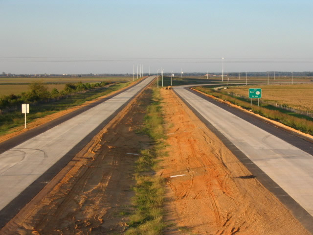
Interstate 69 in northern Mississippi travels east from the Tunica and De Soto County line along MS 713 near Tunica along a rural route to I-55 and the south end of I-269 near Hernando. I-69 combines with I-55 northward from I-269 to Memphis, Tennessee.
Mileage by State
| Mississippi | 23.90 mi |
Data Sources
December 31, 2021 Interstate Route Log and Finders List
History
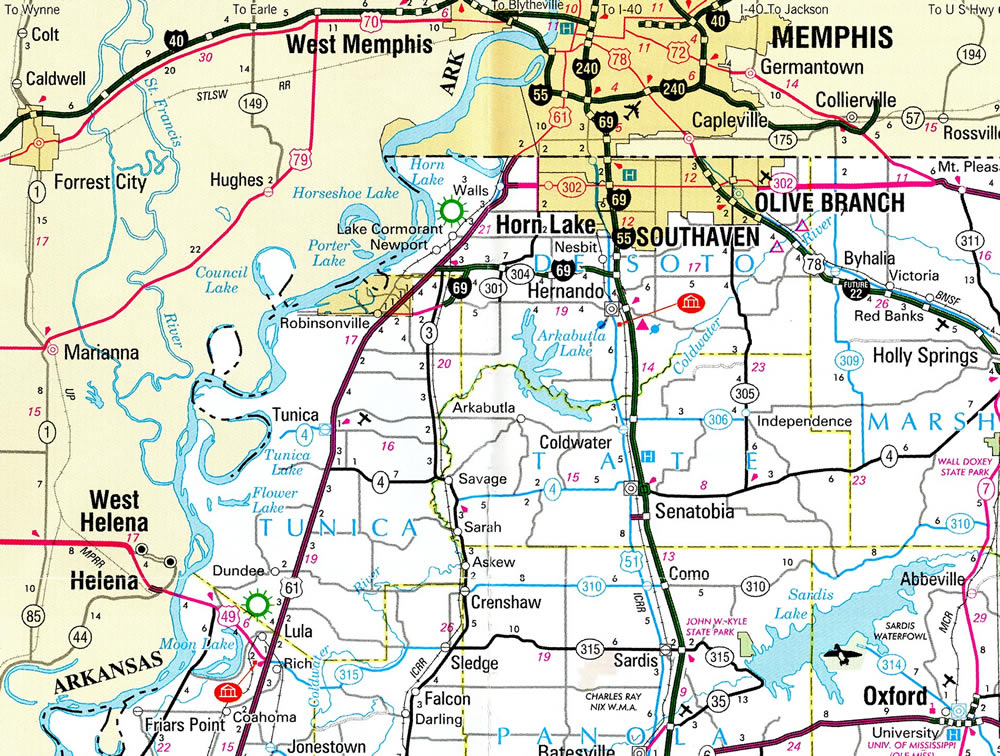
The first segment of Interstate 69 designated beyond the original alignment between Indianapolis, Indiana and Port Huron, Michigan opened to traffic in Mississippi on October 3, 2006.1 I-69 stems west from I-55/269 in Hernando alongside MS 304 in DeSoto County. The freeway spur concludes southwest from MS 304 along MS 713 at the Tunica County line. West from I-69, MS 304 provides a freeway connection directly to U.S. 61 near Harrah's Casino Parkway.
The Interstate 69 designation was extended north along shared alignments with I-55, I-240 and I-40 through Downtown Memphis to Tennessee State Route 300. The extension was approved by the American Association of State Highway and Transportation Officials (AASHTO) on May 6, 2008. I-55/69 are cosigned north from I-269 in Hernando to the Tennessee state line. I-69 remains unposted within Memphis, Tennessee.
North End  ‐ Memphis, TN
at 

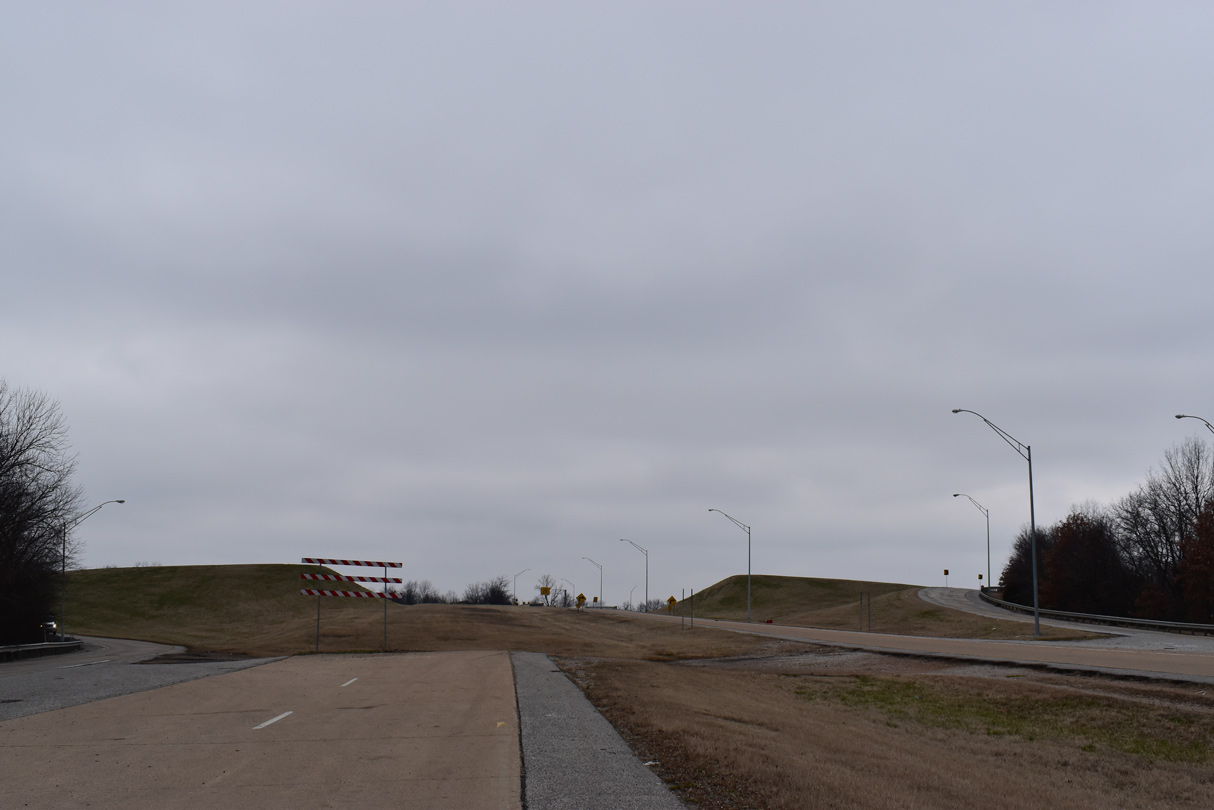
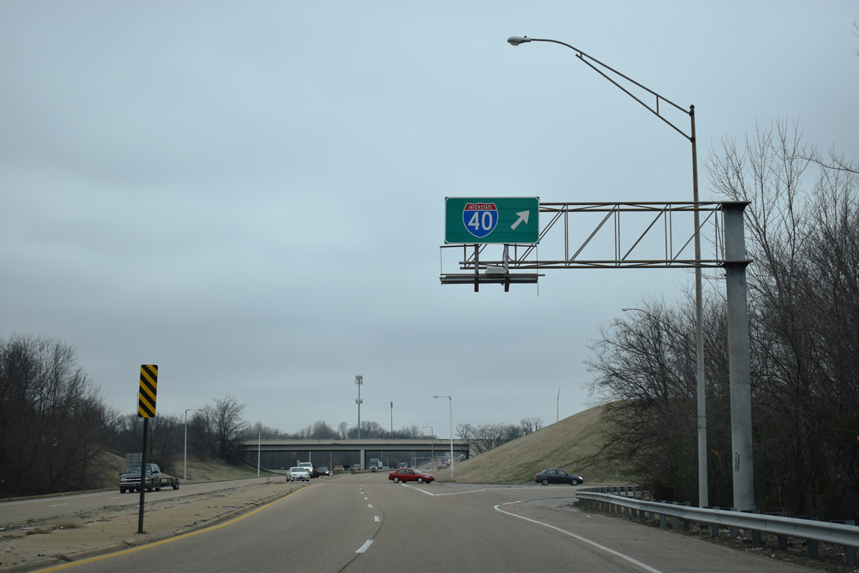
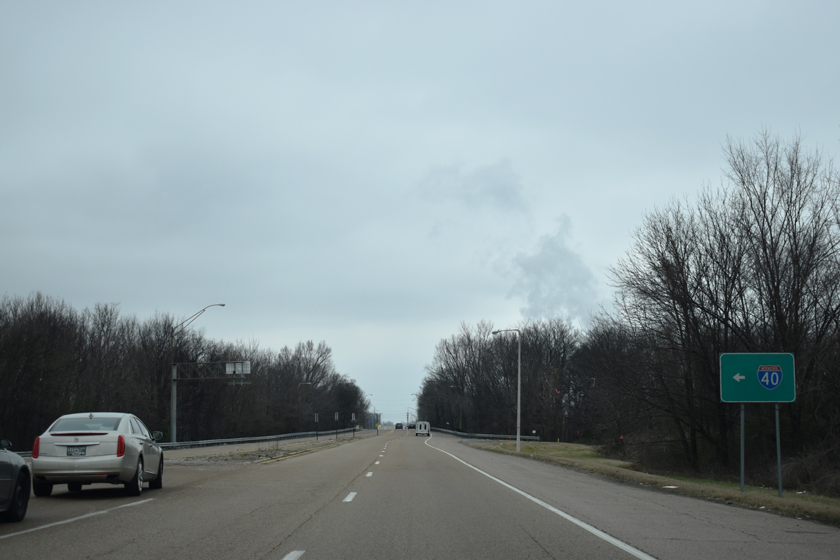
Representing future I-69 in Memphis, SR 300 constitutes a short freeway spur linking Interstate 40 at Watkins Street with U.S. 51 at Frayser in Memphis. 01/14/19
Former North End  ‐ Hernando, MS
Past Views Gallery (Tap to Expand / Collapse Section)
 North
North  East at

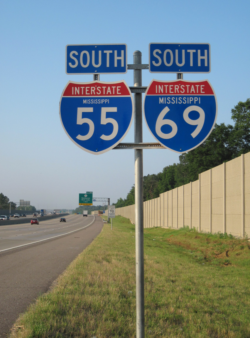
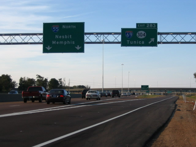
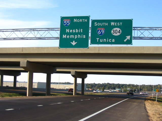
Interstate 69 north at the cloverleaf interchange with I-55. The control city for I-55 south changed from Hernando to Jackson by the middle of 2007.2 I-269 opened east from this exchange on October 26, 2018. Photo by Robert Lee (10/08/06).
North at

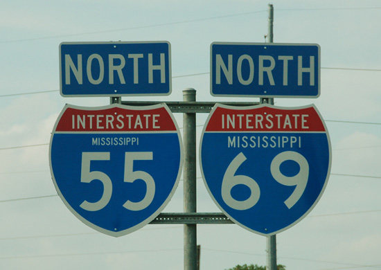
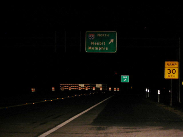
Interstate 55 north one mile from the temporary end of I-69 in Hernando. Photo by Robert Lee (10/08/06).
South End DeSoto-Tunica County Line ‐ near Tunica, MS
South

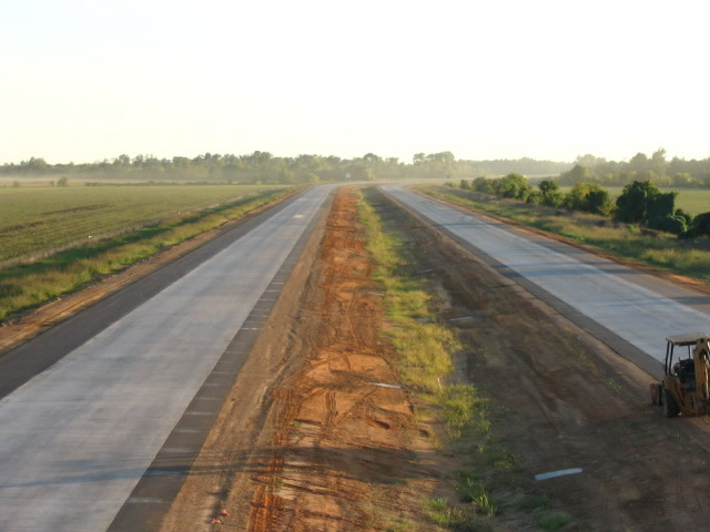
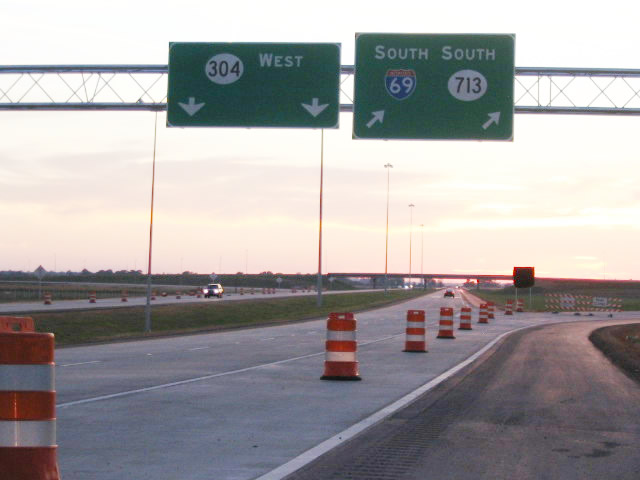
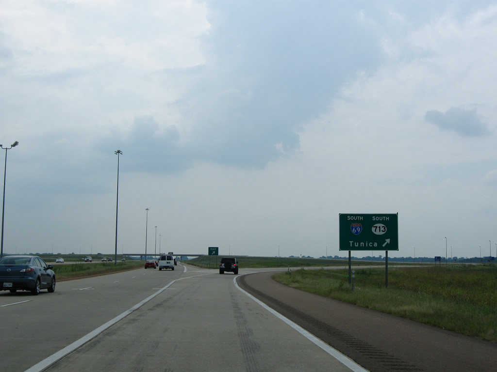
Interstate 69 south concludes at the Tunica County line. MS 713 extends the freeway another 1.6 miles to MS 304 Scenic Loop. 08/07/10
West at 

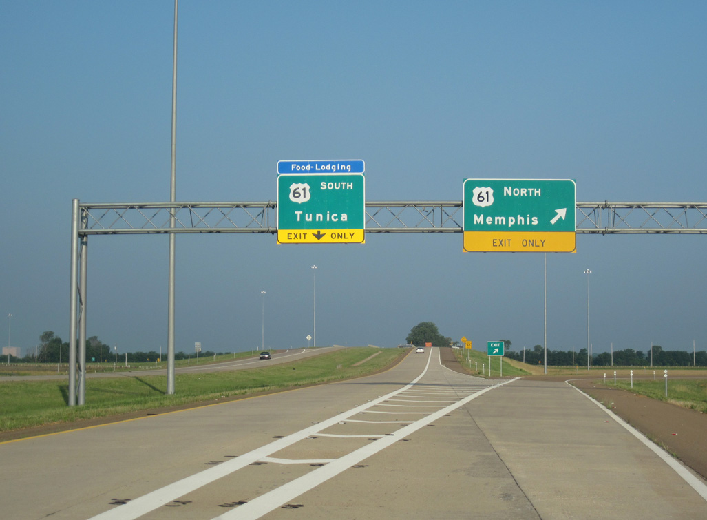
Green outs on guide signs for U.S. 61 on MS 304 west from I-69 switched the order of Memphis and Tunica. 06/02/10
North

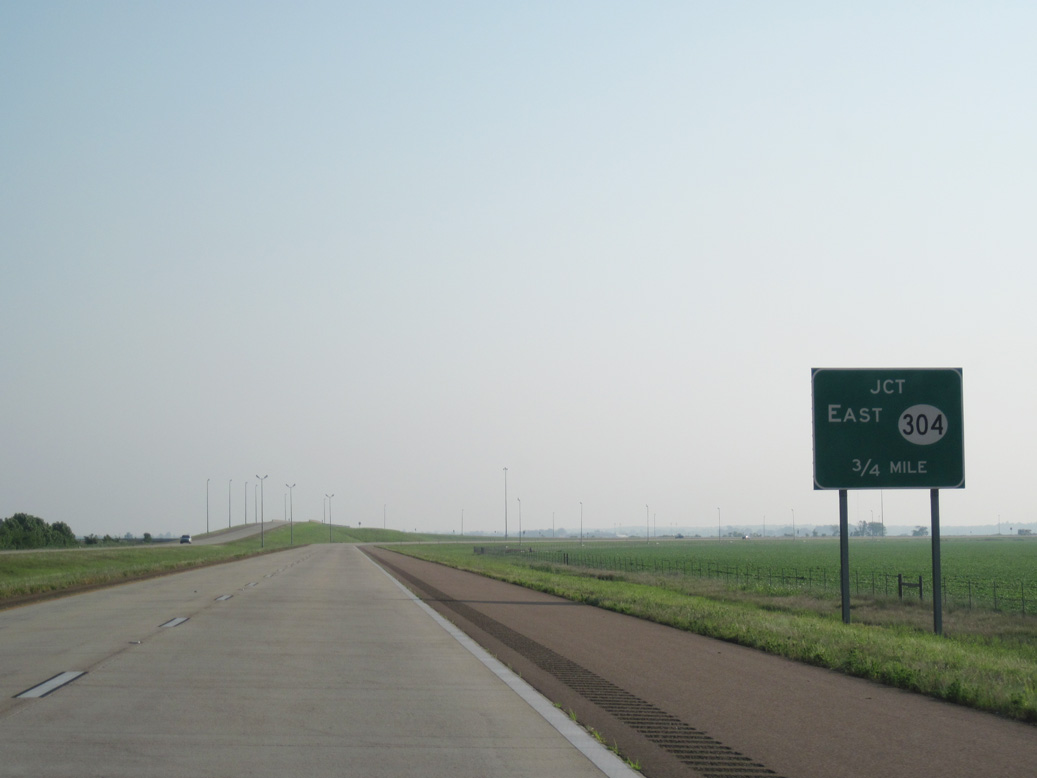
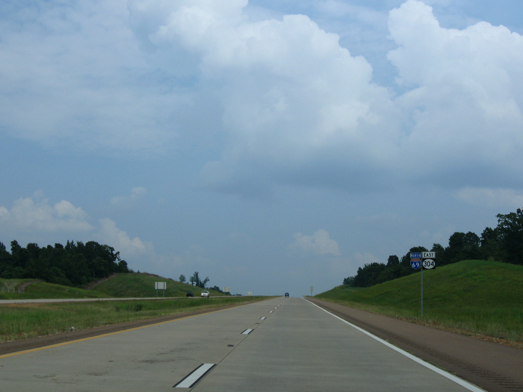
A begin sign marks the transition of MS 713 north to Interstate 69 at the Tunica-DeSoto County Line. 06/02/10
North at

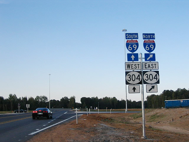
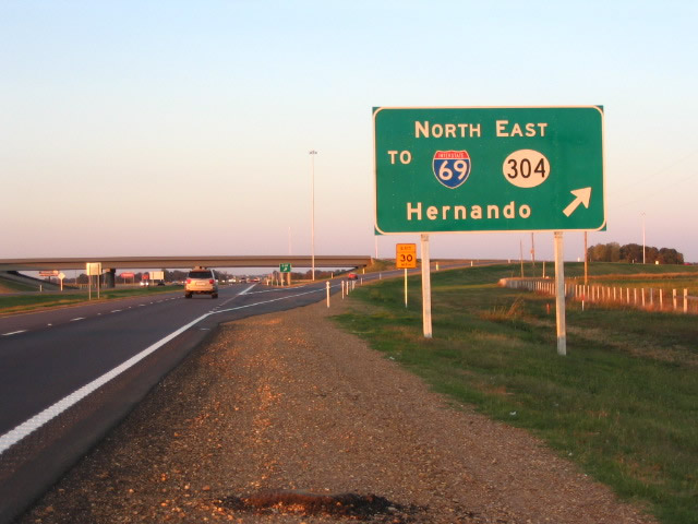
U.S. 61 travels a 0.6 miles north of the signalized intersection with Harrah’s Parkway west and Green River Road to the freeway taking MS 304 east to Interstate 69. Photo by Robert Lee (10/08/06).
South at

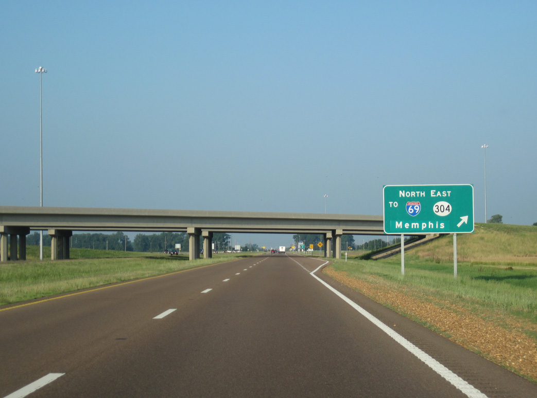
One half mile ahead of the trumpet interchange joining U.S. 61 south with MS 304 east to I-69. MS 3 south provides an alternate to the freeway east from nearby. 06/02/10
References
- "Road to Riches: DeSoto, region expected to reap major benefits of highway." Memphis Commercial-Appeal (TN), October 2, 2006.
- Philip R. "I-269 broken link / I-565 info and question / I-69 MS info." Personal Email, 1/18/08.