Interstate PR3
Overview
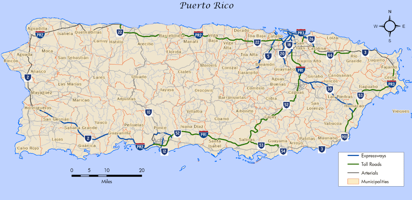
PRI-3 loops north from Humacao to Fajardo and west from Luquillo to San Juan in northeastern Puerto Rico. The southern third of the route underlays PR 53 (Autopista Dr. Jose Celso Barbosa) north from PR 30 in the Humacao municipio (municipality) to the end of the toll road at PR 3 in Fajardo municipio. PRI-3 follows PR 3, an at-grade arterial west to Rio Grande, where PR 66 (Autopista Roberto Sanchez Vilella) branches south.
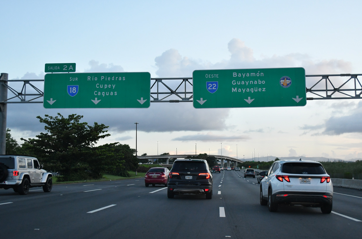
The toll road along PR 66 provides a high speed bypass around Rio Grande, Canóvanas and Trujillo Bajo while PR 3 comprises a commercialized route to the north. PRI-3 shifts onto PR 26, a limited access freeway northwest from Carolina into San Juan. PRI-3 coincides with PR 26 west to PR 22 at the Minillas neighborhood. PRI-3 heads south along PR 22 to a shared end point with PRI-2 (PR 22) and PRI-1 (PR 18).
Construction started on Corredor del Este (East Corridor), the toll road for PR 66 in 2003. Upon completion, PR 3 to the north was downgraded from a primary road to a rural inter-municipal route. The Highway Plan did not consider changes to the route of PRI-3.
Mileage by State
| Puerto Rico | 40.56 mi |
Data Sources
December 31, 2021 Interstate Route Log and Finders List
History
PRI-3 was designated by the Federal Highway Administration (FHWA) on May 27, 1983 in accordance with the provisions of Section 139(c) of Title 23, U.S.C. The route description read:
From the junction with PRI-1 [PR 18/52] in San Juan east and south to PR-31 near the Roosevelt Roads Naval Station.
Measuring 45.0 miles in length, PRI-3 was established entirely long PR 3. The approval was contingent upon part of PRI-3 in San Juan being moved from the Federal-aid urban system to the Federal-aid primary system (Barnhart, 1983).
PRI-3 was eventually approved by the American Association of State Highway and Transportation Officials (AASHTO) on October 1, 1983. Subsequent changes were made to the alignment of the Interstate by FHWA on November 9, 1984. The western extent was relocated onto a limited access section of PR 26 from Carolina to PR 22, and along PR 22 southwest to the junction with PR 18/PRI-1 and PRI-2. PRI-3 was also truncated north from PR 31 to the North Entrance of Roosevelt Roads Naval Station in Ceiba. AASHTO concurred with a request for this relocation on June 27, 1985.
PRI-3 was extended southward along PR 53 (Autopista Dr. Jose Celso Barbosa) through Ceiba municipio with FHWA approval in April 1997 under 23 U.S.C. 139(c). PRI-3 was also relocated off parallel PR 3 onto the toll road opened to traffic on October 3, 1996. AASHTO approved the application for these changes on April 19, 1998.
The final southward extension lengthened PRI-3 by 23.50 kilometers from the South Gate of Roosevelt Roads Naval Base to PR 30 in Humacao municipio. Completed in May 1998, the toll road was designated as part of the Interstate System under 23 U.S.C. 103(c)(4)(A) effective May 2, 2000. The application for the 14.1 mile long addition to PRI-3 was approved by AASHTO on December 9, 2000.
North End 


 ‐ San Juan, PR
 West at
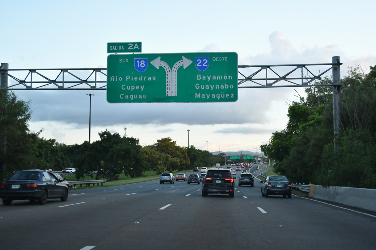
PR 22 spans Martín Peña Channel ahead of PR 18/PRI-1 south. 09/28/24
 North at

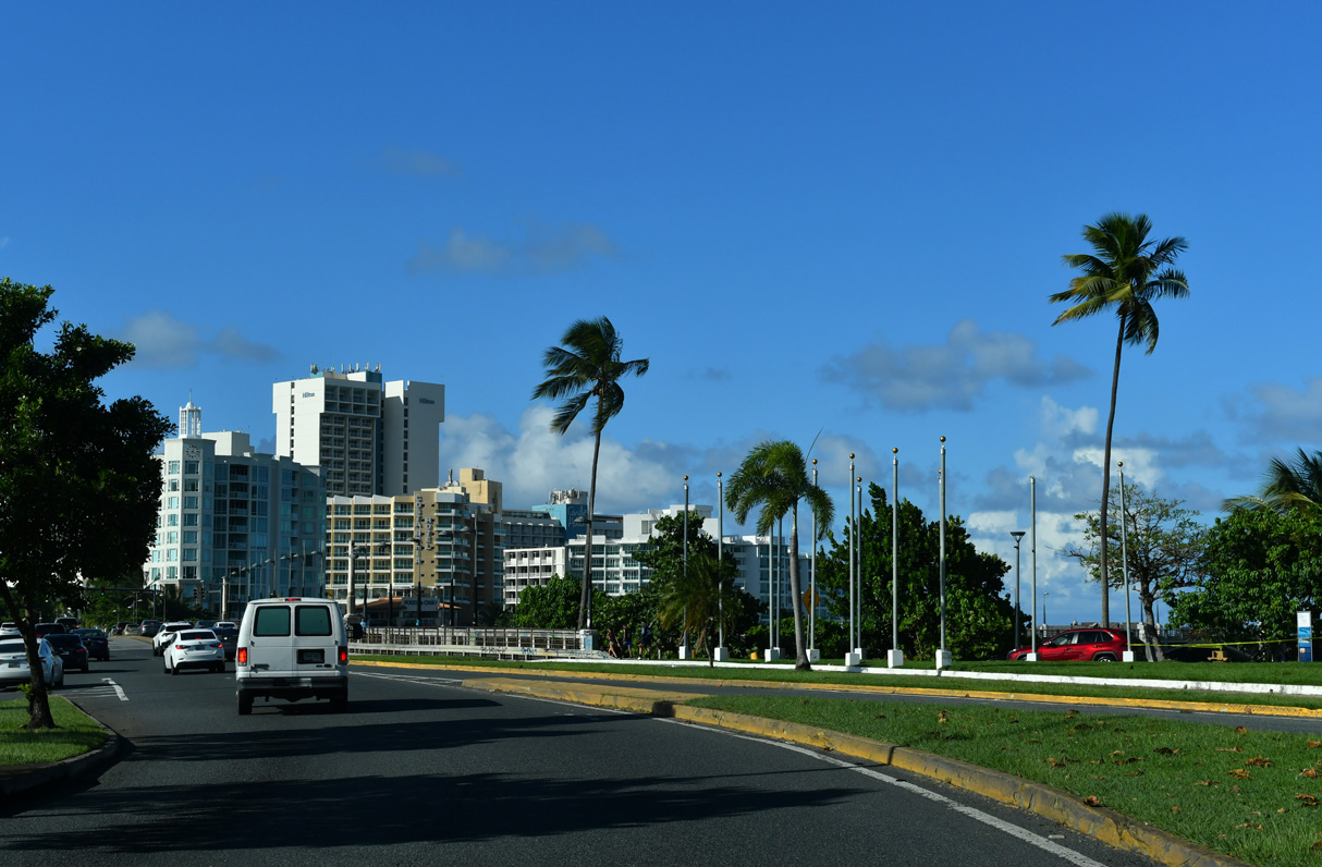
There is no access from PR 1 northbound onto PR 26/PRI-3 east. The two routes converge with PR 25 (Avenida de la Constitución) beyond the overpass for PR 26 eastbound. 09/29/24
South at
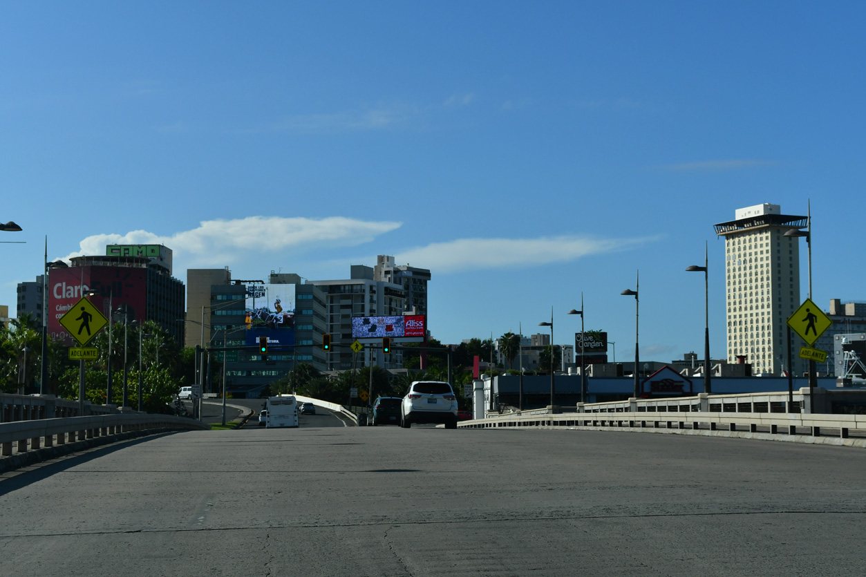
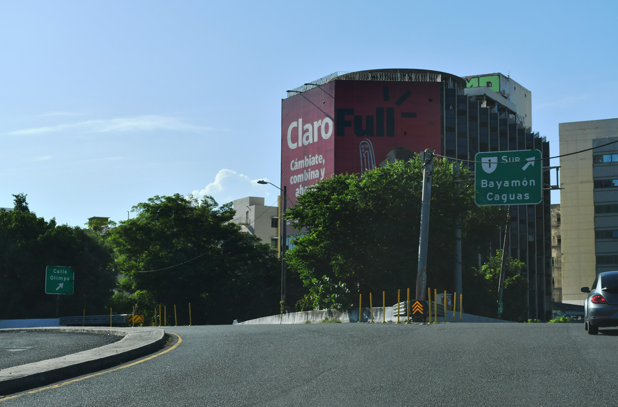
PR1/25 combine ahead of Caño De San Antonio and the eastbound beginning of PR 26/PRI-3 in San Juan. 09/29/24
South End 
 ‐ Humacaco, PR
South at
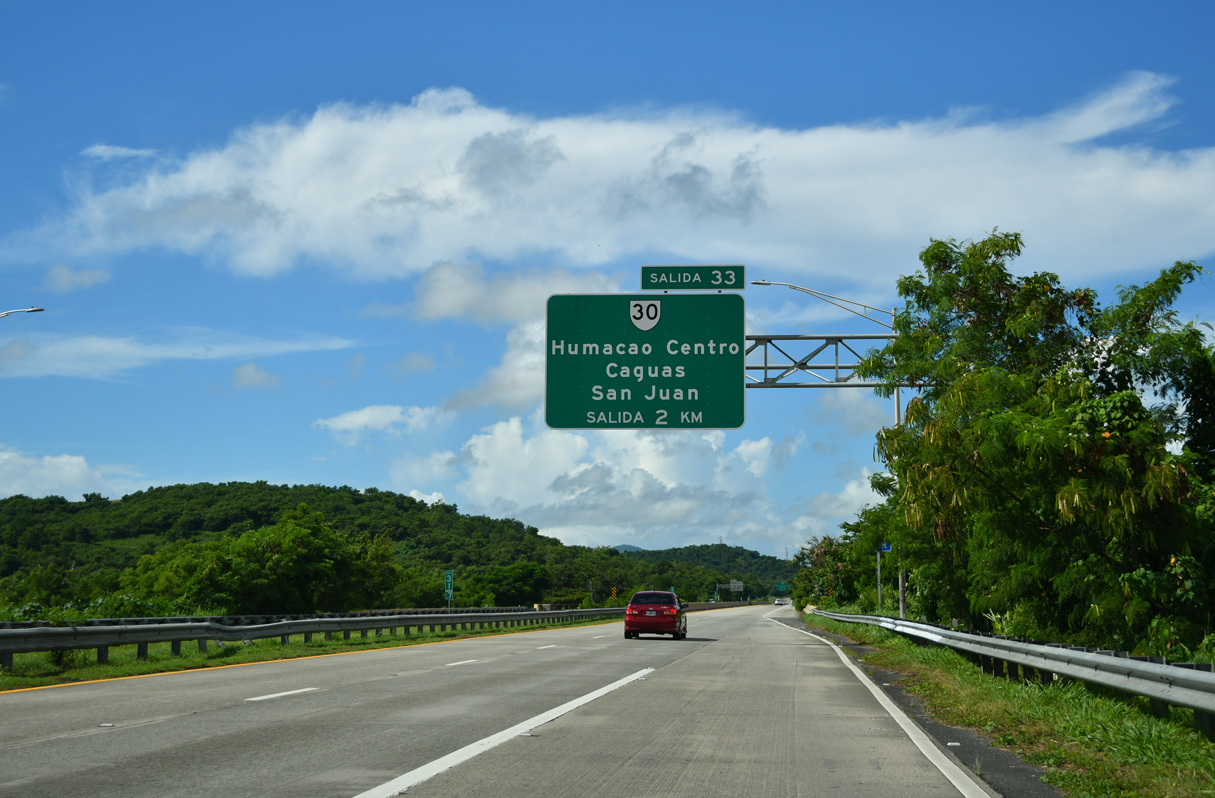
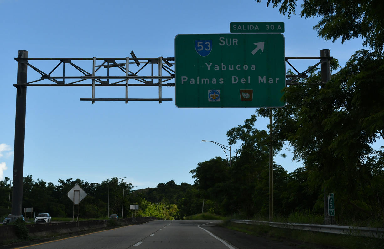
PR 53 (Autopista José Celso Barbosa) south spans Rio Humacao south on the two kilometers between PR 66 and PR 30. 09/29/24
North at
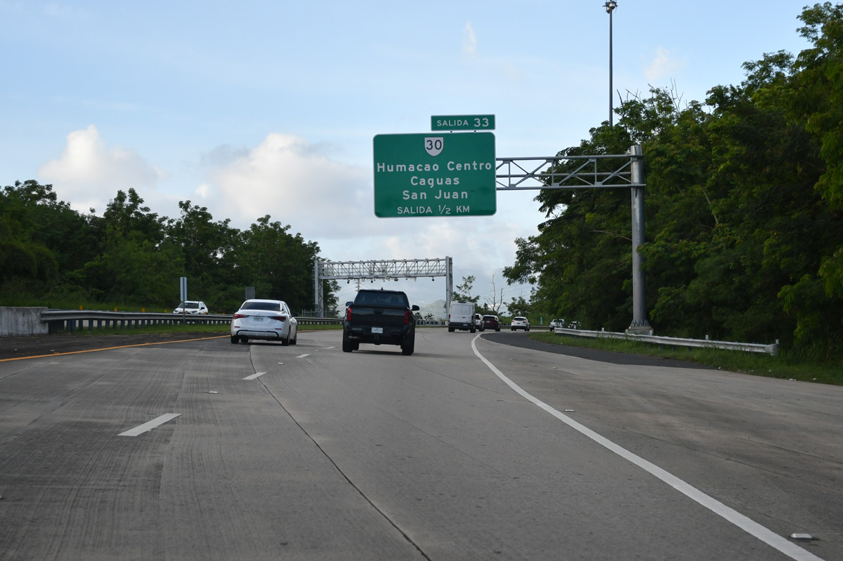
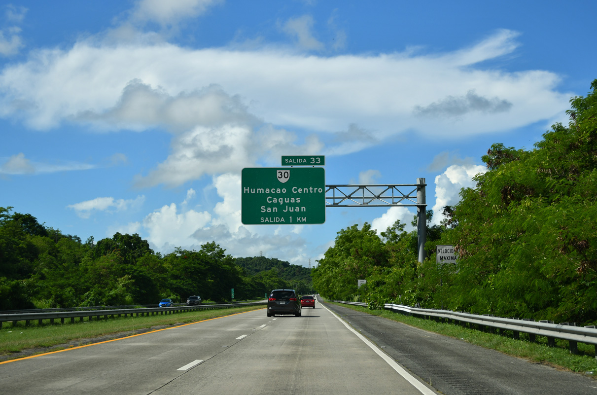
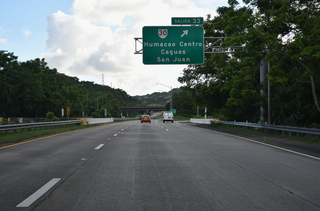
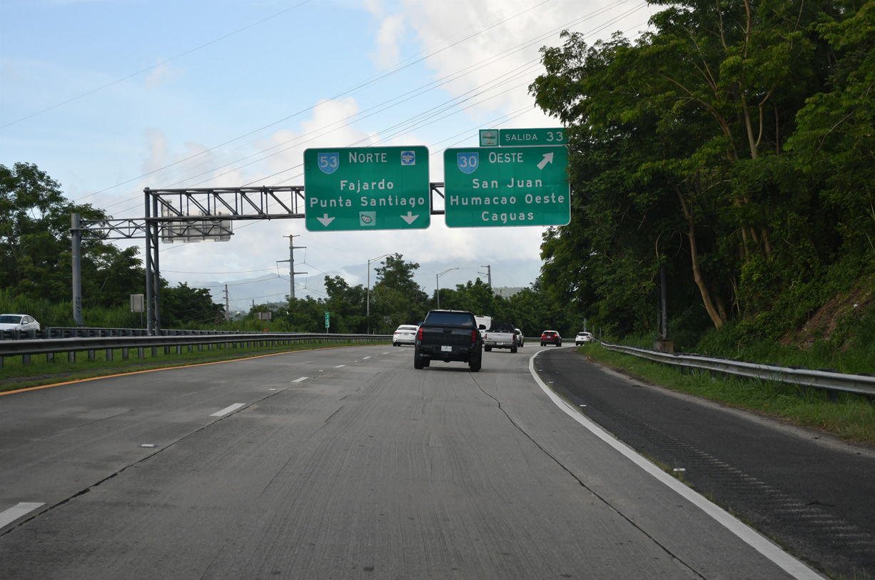
PR 53 (Autopista Dr. José Celso Barbosa) advances north from a toll collection point to Salida 33 for PR 30 west in Humacao. 09/28/24
East at
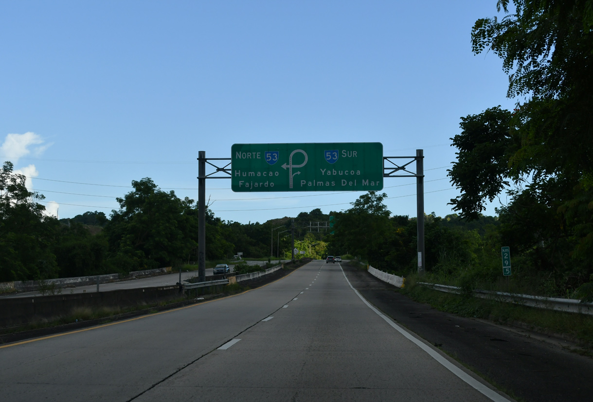
PR 30 branches southeast from PR 66 through Humacao to PR 53 and the south end of PRI-3. 09/28/24