
Interstate PR2

Overview
Interstate PR2 encircles the western half of Puerto Rico from San Juan west to Aguadilla, south to Mayagüez and east to Ponce. The unsigned route underlays Primary Route 22 west from San Juan to Arecibo and Primary Route 2 from there to Ponce.
I-PR2 is a limited access route along PR 22, the Autopista Jose de Diego toll road, west from PRI-3 and PRI-1/PR 18 in San Juan. PR 2 is an at-grade arterial or boulevard from Arecibo southwest to Hormigueros. East from Secondary Route 100, PR 2 is a controlled access expressway to San Germán, and a limited access freeway the remainder to the exchange with PR 52 (Autopista Luise A. Ferre) and PR 9 at Ponce.
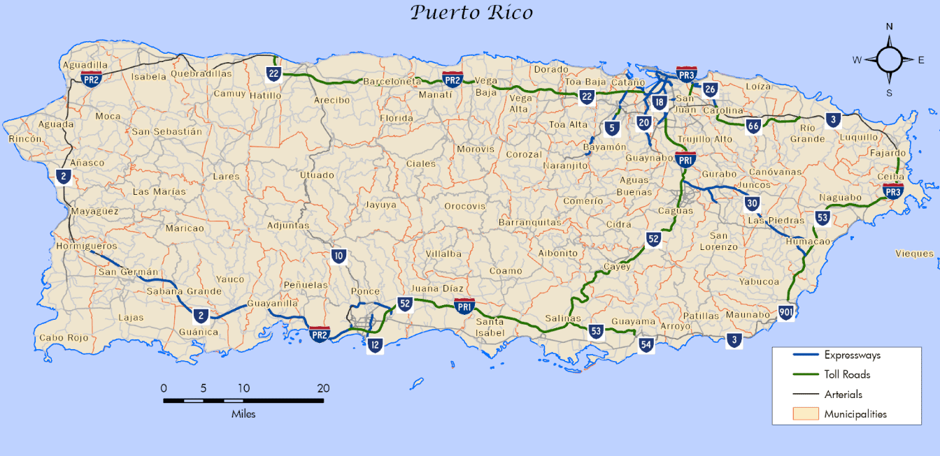
Mileage by State
| Puerto Rico | 138.13 mi |
Data Sources
December 31, 2021 Interstate Route Log and Finders List
History
Puerto Rico Interstate 2 was one of three routes approved as part of the National System of Interstate and Defense Highways by the Federal Highway Administration (FHWA) on May 27, 1983. The initial 91.0 mile long route of PRI-2 followed PR 2 from the intersection of PR 2 Spur north of Mayagüez to Aquadilla and east to PR 18/PRI-1 in San Juan. The American Association of State Highway and Transporation Officials (AASHTO) followed with approval of PRI-2 on October 1, 1983.
An long extension of PRI-2 from Mayagüez south and east to Ponce was authorized by the FHWA on December 17, 1993 under 23 U.S.C. 139 (c) (Pesquera, 1994). The 44.52 mile long stretch concluded in the Ponce urbanized area with then Future PR 52. AASHTO concurred with the extension on April 10, 1994.
The construction of PR 22 (Autopista Jose de Diego) from San Juan west to Arecibo superseded PR 2 as the through route. The final section of the toll road opened to traffic on March 30, 1995. The FHWA Puerto Rico Division substituted PR 2 for PR 22 in action effective in March 1996 under 23 U.S.C. 139 (c). The formal relocation of PRI-2 was approved by AASHTO on April 19, 1998.
North End 


 ‐ San Juan, PR

 East at
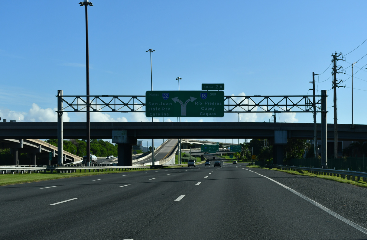
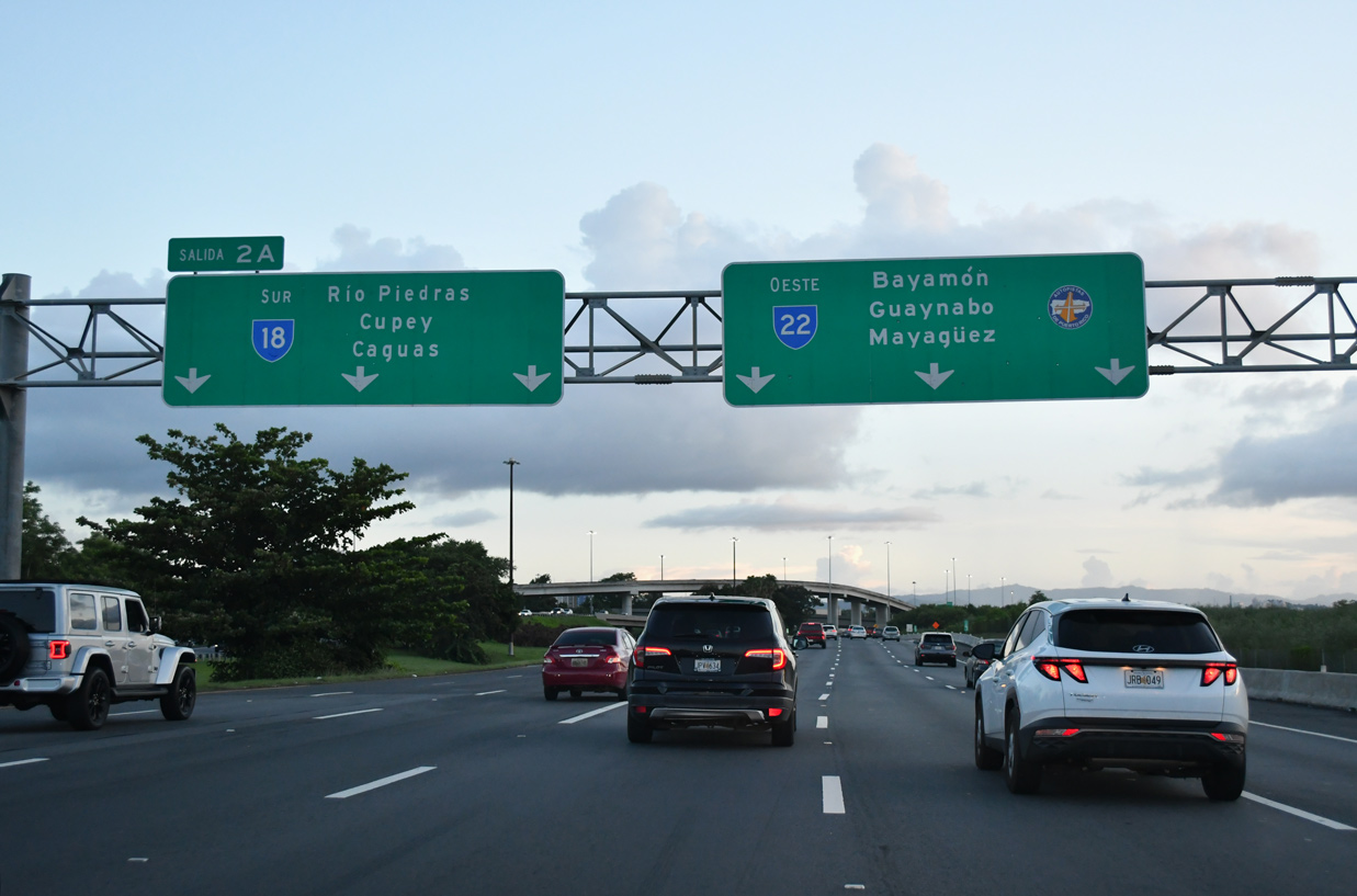
PR 22/PRI-2 east at Salida 2 A for PR 18/PRI-1 south. 09/29/24
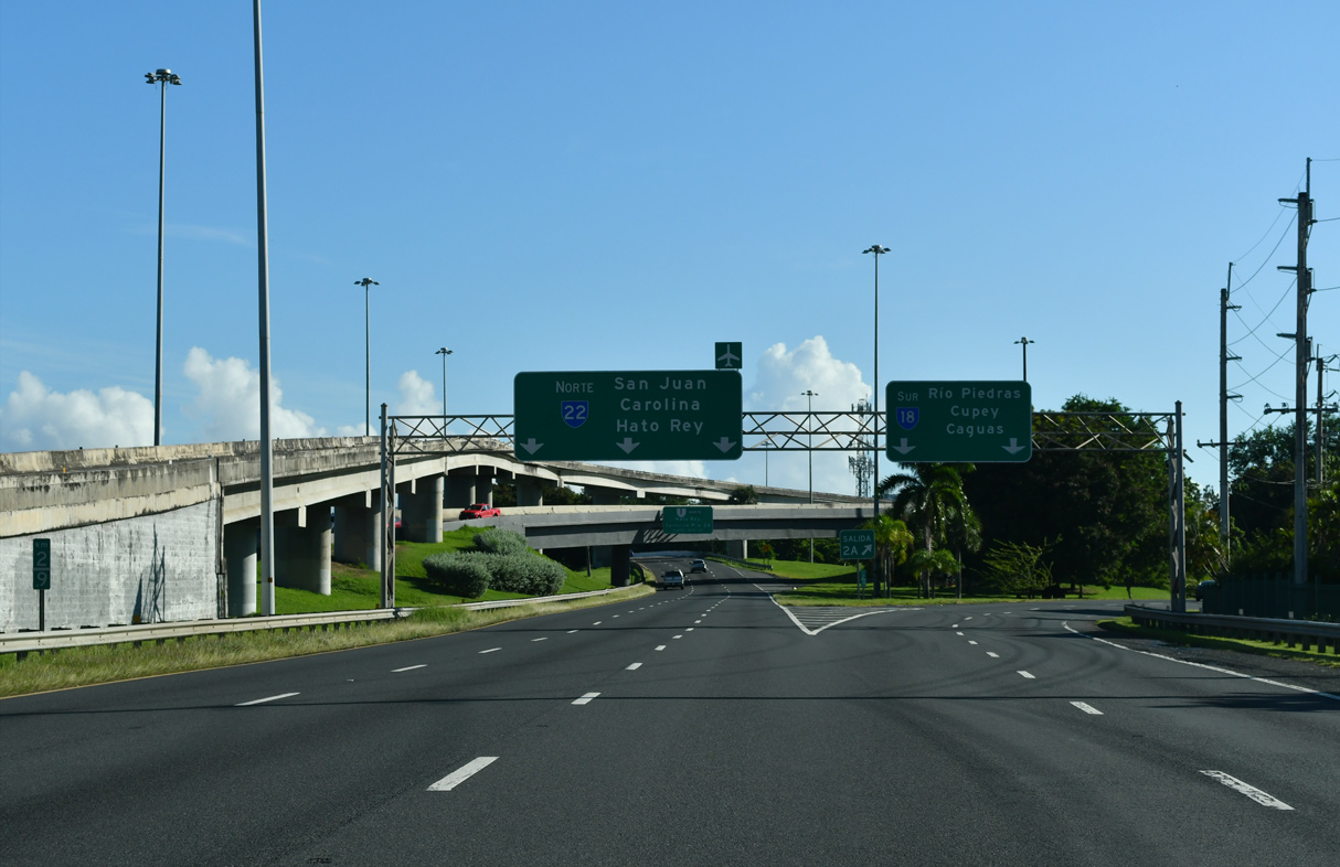
West at
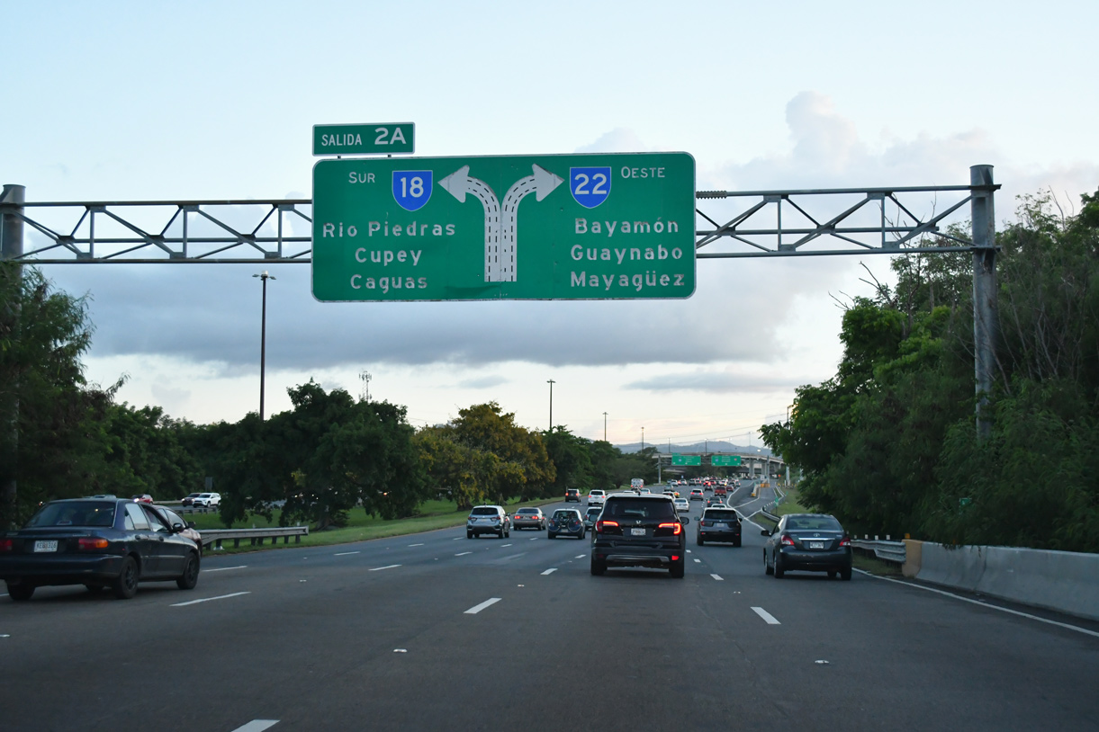
PR 22 spans Martín Peña Channel ahead of PR 18/PRI-1 south. 09/28/24
South End 
 ‐ Ponce. PR
 East at
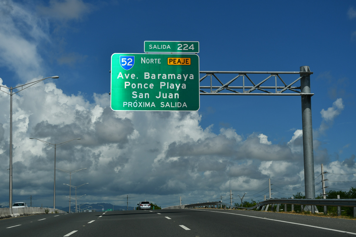
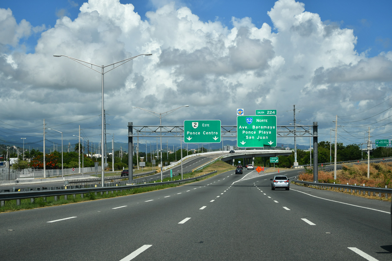
PR 2/PRI-2 advances east to PR 52/PRI-1. 09/28/24
West at
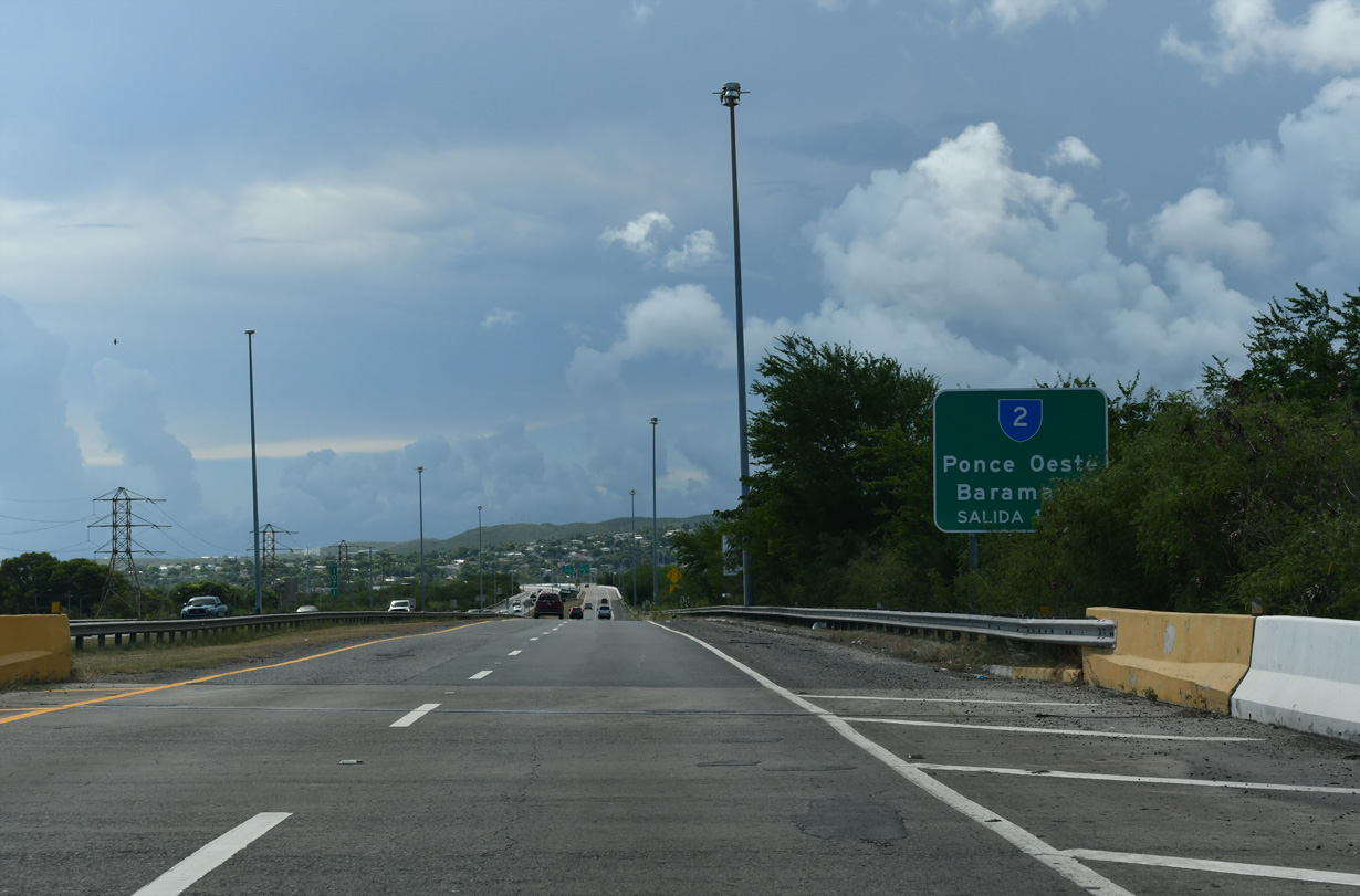
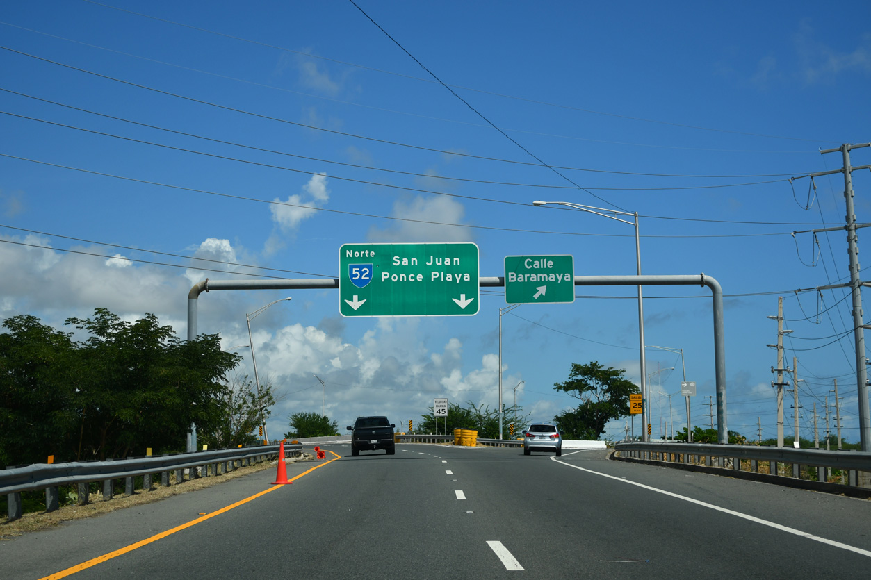
PR 52/PRI-1 one kilometer ahead of PR 2/PRI-2. 09/28/24
West at
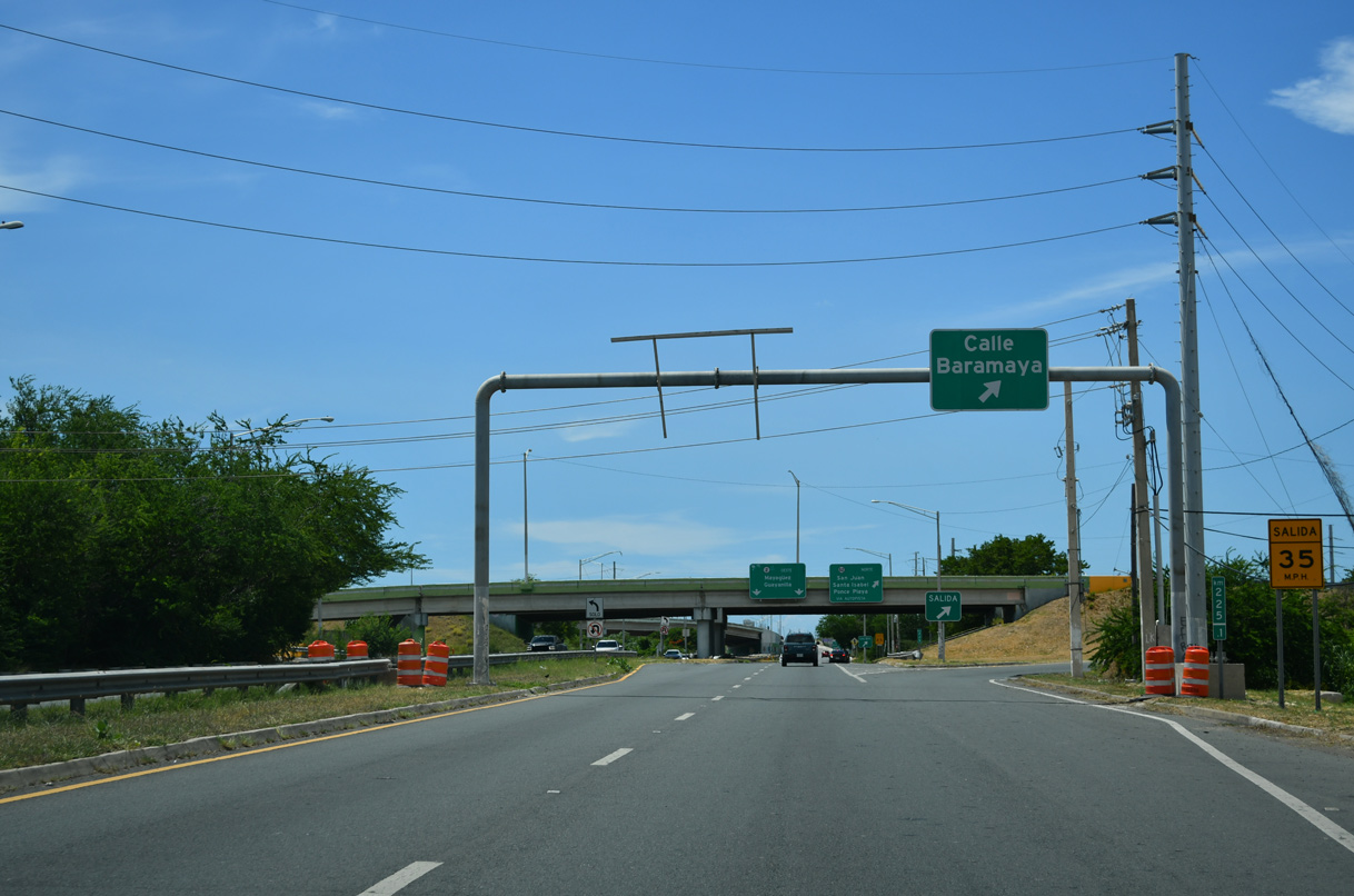
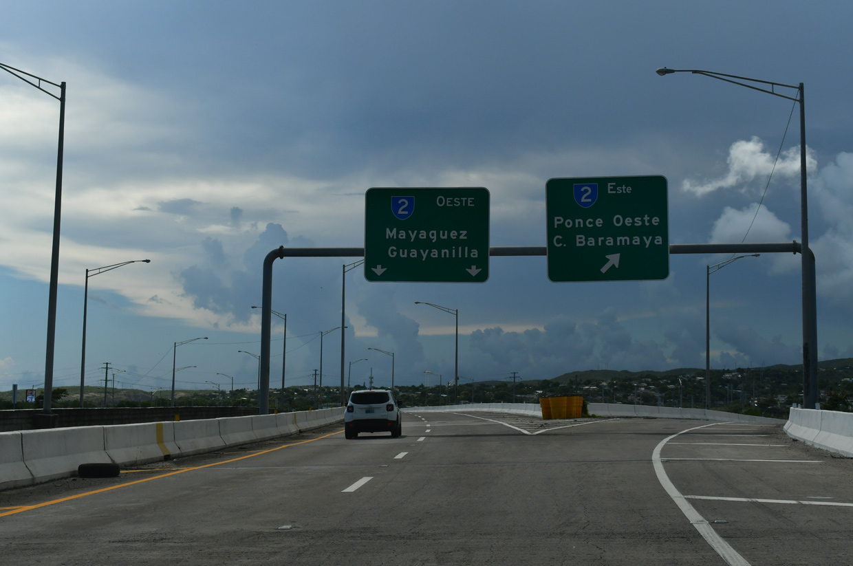
PR 2 west at PR 9 north and PRI-2 west. 09/29/24
South at
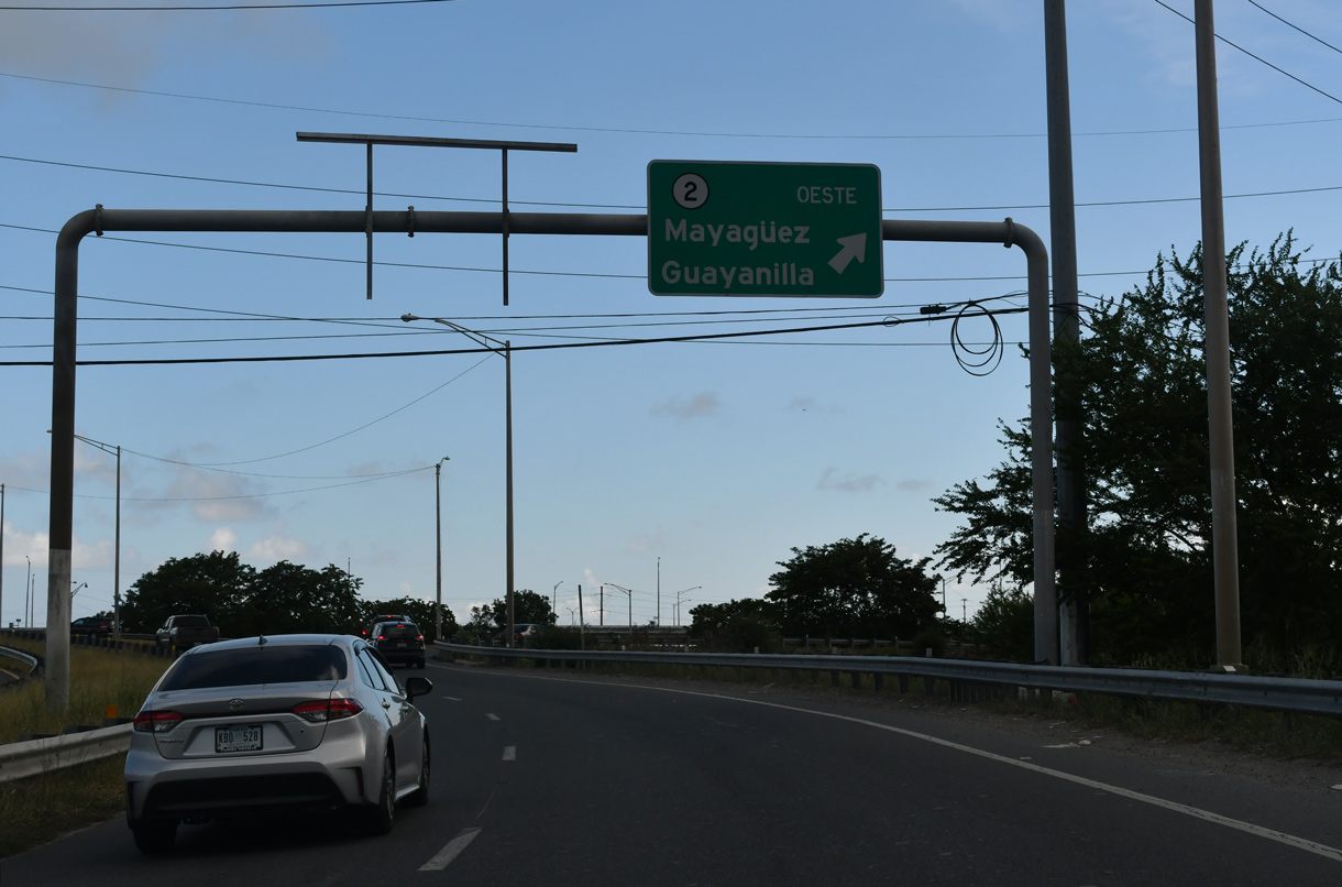
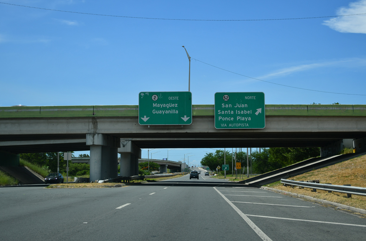
PR 9 south at PR 2/PRI-2 west in Ponce. 09/28/24