
Interstate H1
Overview
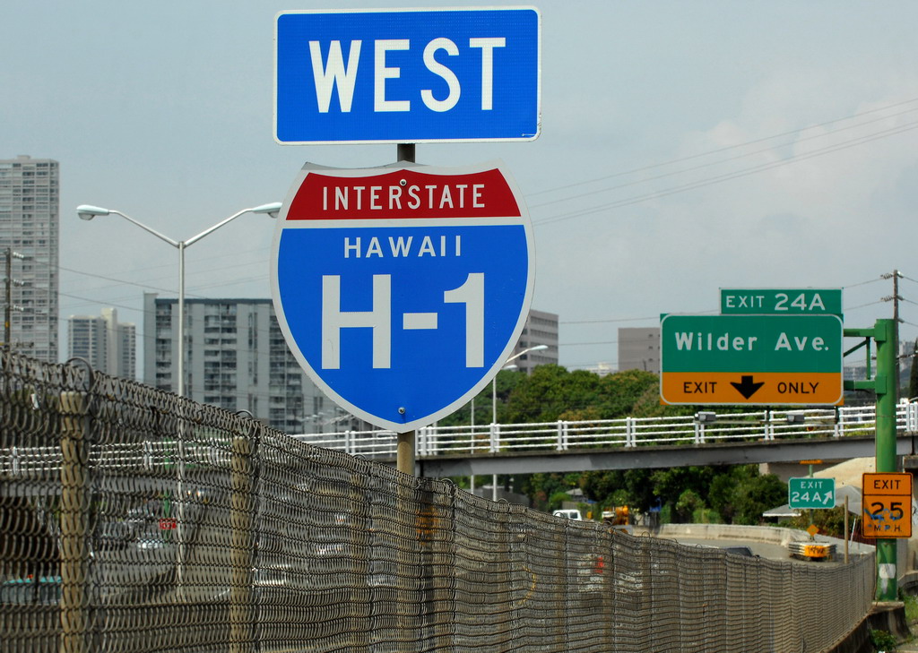
Interstate H-1 is the longest of the four Hawaiian Interstates. The mostly urban freeway joins Makakilo City and the west shore of Oahu with Ewa, Waipahu, Pearl City, Downtown Honolulu and Waialae on the south shore.
The freeway provides the most direct route to Honolulu International Airport (HNL) and Hickham Air Force Base via the freeway spur along Route 92. Interstate H1 includes the operation of the AM Contraflow Zipper Lane which provides an eastbound HOV lane during the morning commute hours in the place of two westbound lanes.
Mileage by State
| Hawaii | 27.16 mi |
Data Sources
December 31, 2021 Interstate Route Log and Finders List
History
Interstate H-1 was first authorized as a result of the Statehood Act of 1960.1 A portion of the freeway was completed in 1959 between Punahou Street / Exit 23 and King Street / Exit 25 A. It was signed as Route 72. A short extension followed, opening in 1960 from Punahou Street west to Ke'eaumoku Street.
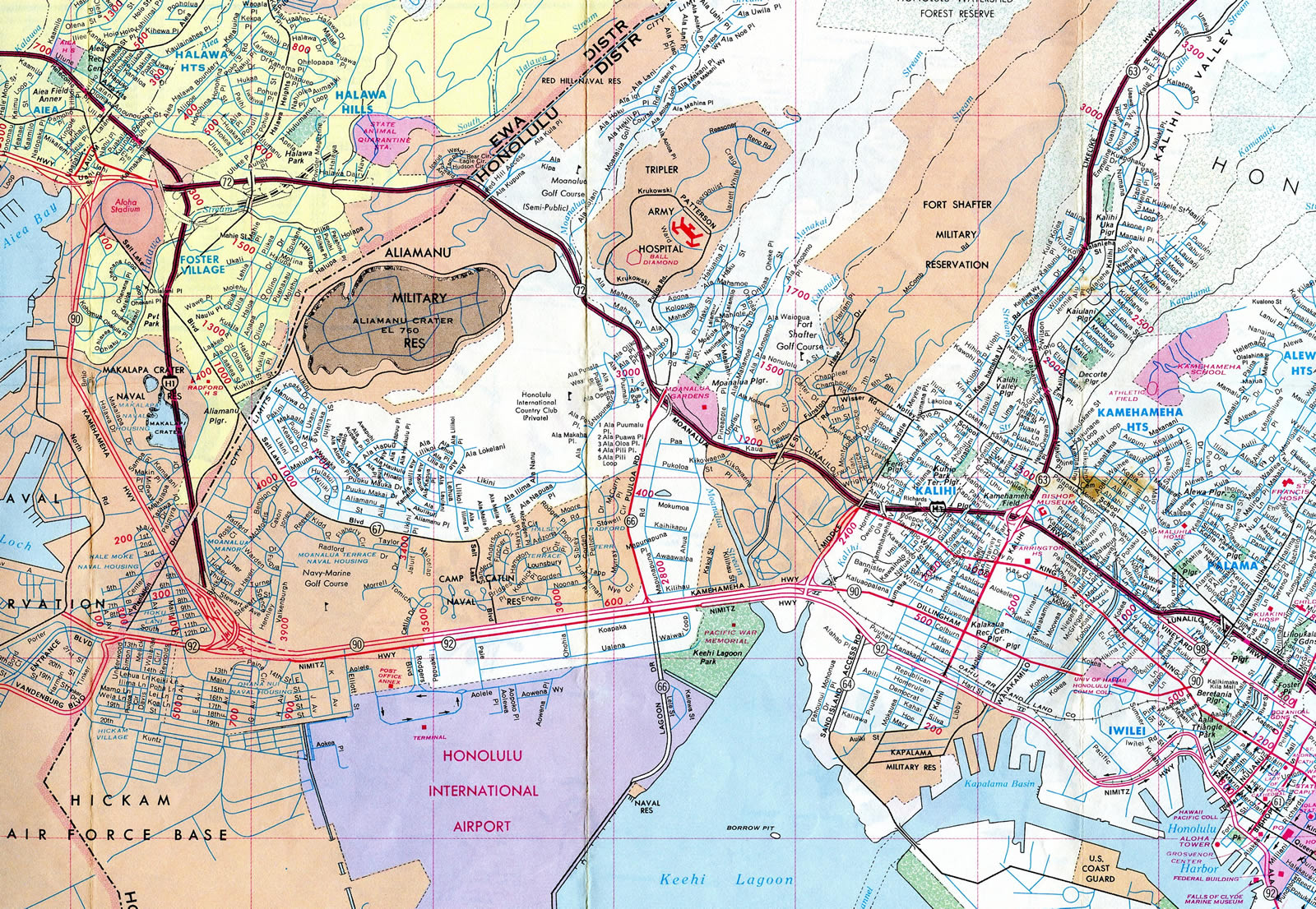
Interstate H1 signs were posted by 1967 alongside Route 72 and the Lunalilo Freeway. It was open at that time from Kunia Road / Exit 5 to Kamehameha Highway / Exits 8 A/B, from the east end of the Moanalua Freeway (I-H201) to Pele Street / Exit 21 B and from King Street to Koko Head Avenue / Exit 26 A. Completion of the route occurred in 1986 with the opening between Nimitz Highway / Exit 18 A and Middle Street.
The I-H1 viaduct by Honolulu International Airport (HNL) was built over Route 92 (Nimitz Highway). The freeway also overtook Route 90 directly along the Kamehameha Highway. See the Interstate H1 guide on AARoads for a more detailed time line.
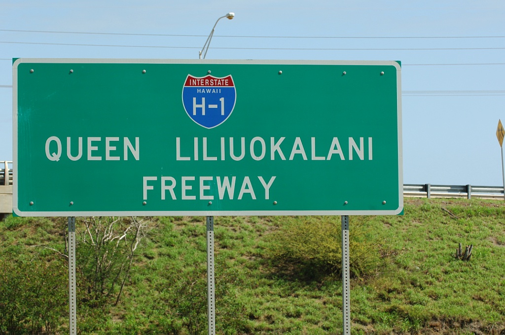
Freeway signs that display Queen Liliuokalani Freeway, the formal name of Interstate H-1, were erected in 2002. The Queen Liliuokalani Freeway signs stand eastbound at Exit 1 and westbound after Exit 19. There are no similarly name signs posted for the rest of H-1, which is called the Lunalilo Freeway.3
Some improvements made to Interstate H1 include adding auxiliary lanes, widening, and earthquake retrofitting. The Pearl City and Waimalu viaduct bridge deck was replaced by April 16, 2014. This work preceded restriping of the Halawa Interchange to the Pearl City off-ramp, which added a shoulder lane during the evening peak hours, and widening of I-H1 from the Pearl City ramps to the Waimalu viaduct. Widening also expanded I-H1 westbound from I-H2 to Waikele, capping off expansion overall between Aiea to Waikele.4
Proposed Interstate H4
Interstate H-4 was an idea once proposed for the city of Honolulu in the late 1960s. Interstate H-4 was to provide traffic relief for the congested I-H1 through the Downtown area of the capital city. From the west I-H4 was to begin at I-H1/Exit 18 interchange with Route 92. Turning southeasterly, the freeway was to follow the Honolulu waterfront to a point somewhere between Atkinson Drive and Waikiki. At that location, Interstate H-4 was proposed to turn northeast to the Kapiolani interchange / Exit 25 B along Interstate H-1. As one can surmise, the idea of a freeway along the waterfront through Downtown was wildly unpopular and thus never realized.2
East End  ‐ Honolulu, HI
 East at
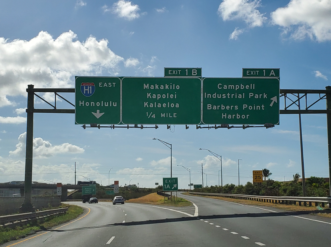
Route 93 (Farrington Highway) transitions into Interstate H-1 east at the parclo interchange (Exit 1 A) with Kalaeloa Boulevard south to Barbers Point. 08/15/19
West at
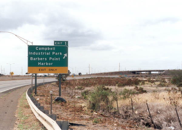
Westbound Interstate H-1 reaches Exit 1 for Farrington Highway east and Barbers Point Harbor. The freeway connects with Route 93 north ahead of the intersection with Laaloa Street. Photo by Oscar Voss (11/01).
West End  ‐ Makakilo, HI
East
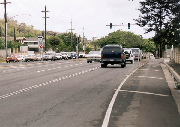
Interstate H-1 concludes eastbound at the intersection with Ainakoa Avenue in eastern Honolulu. Route 72 (Kalanianaole Highway) takes over from the freeway end along an at-grade boulevard. Photo by Oscar Voss (11/01).
West at
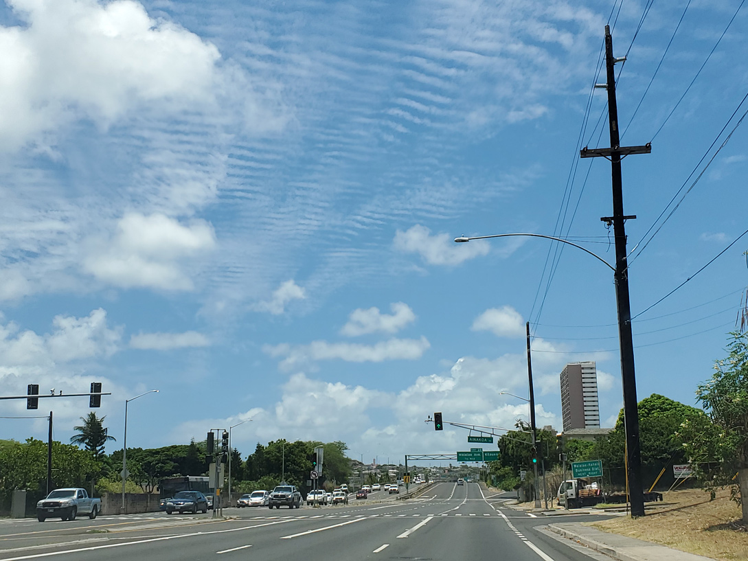
Route 72 (Kalanianaole Highway) ends and Interstate H-1 (Lunalilo Freeway) begins westbound at the intersection with Ainakoa Avenue in Honolulu. 08/16/19
References
- Hawaii Department of Transportation. History of Interstate H-3.
- Voss, Oscar. "Interstate H-4 proposal in the 1960s, and other Hawaii Highways site updates." Online posting, misc.transport.road, September 17, 2003.
- Voss, Oscar. "Jeff Royston's e-mail address, and minor comments on H-1 Interstate Guide." Personal Email, 06/09/06.
- HawaiiDOT. PM Contraflow - Overview. project web site. Retrieved from http://www.pmcontraflow.com/overview.html