
Interstate A1
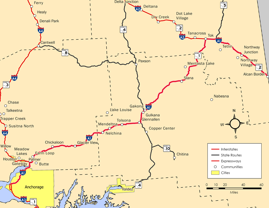
Interstate A1 overlays Alaska State Route 1 northeast from Anchorage to SR 2 at Tok and SR 2 along Alaska Highway southeast to the international boundary with Canada at Alcan Border. The bulk of I-A1 follows Glenn Highway, which runs 179.64 miles from 5th Avenue at Airport Heights Street in Anchorage to SR 4 (Richardson Highway) at the community of Glennallen. SR 1 lines 6th Avenue west 1.48 miles to a couplet with 5th Avenue at Ingra Street north and Gambell Street south. Ingra/Gambell Streets are part of I-A3.
Glen Highway is a limited access freeway northeast from Mountain View Drive in Anchorage 34.31 miles to SR 3 (George Parks Highway) at Gateway in Matanuska-Susitna Borough. The remaining 145.31 miles of Glenn Highway east into the Copper River Census Area is a two lane highway with alternating passing lanes.
SR 1 combines with SR 4 along Richardson Highway for 14.04 miles from Glennallen to Gakona Junction. Richardson Highway continues north to Paxson and SR 2 (Delta Junction) while SR 1/I-A1 shift northeast along Tok Cutoff Highway 122.36 miles to SR 2 (Alaska Highway) at Tok in the Southeast Fairbanks Census Area.
I-A1 extends another 90.01 miles southeast from Tok (pronounced as toke) along the Alcan Highway to Tetlin Junction, Northway Junction and the Canadian border into Yukon. This stretch is lightly traveled with traffic counts ranging from 260 vehicles per day (vpd) recorded west of Northway Junction to 200 vpd east to Alcan Border in 2020.
Mileage by State
| Alaska | 408.23 mi |
Data Sources
December 31, 2021 Interstate Route Log and Finders List
History
Glenn Highway was originally built during World War II as part of a route connecting Anchorage with the Alaska Highway.1 With the exception of a 16 mile section within the vicinity of Sheep Mountain, the entire length of Glenn Highway northeast from Anchorage to Glennallen was paved by the end of the 1951 construction season. Coinciding work was underway along Tok Cutoff Highway reconstructing the route to eliminate narrow sections and sharp curves. The highway was also relocated around the east side of Mentasta Lake, reducing the distance between Richardson Highway and Tok by around nine miles.2 Paving operations along the remainder to Tok was completed by 1957.1
South from Tok to Yukon, Canada, the Alaska Highway was paved to milepost 1295, 20 miles beyond Tok by 1955. Reconstruction of the final section of the highway between Northway and the Canadian border at milepost 1221 was underway in Summer and Fall 1955.3
The last section of SR 1 (Glenn Highway) expanded to four lanes between Anchorage and SR 3 (Parks Highway) was the northernmost 8.5 miles. The final construction permit was received from the U.S. Army Corps of Engineers on August 24, 1990. This allowed work to proceed on adding gravel fill on 110 acres of wetlands for building the roadway across Eklutna Flats. Work adding a second roadway along Glenn Highway from Eklutna to Parks Highway included the addition of four bridges spanning channels of the Knik and Matanuska Rivers. The overall project cost $60 million, with 7% derived from state funds.4
An interchange was eventually constructed where the freeways along SR 1 (Glenn Highway) and SR 3 (Parks Highway) meet near Wasilla. Costing $46 million, the exchange was completed in September 2004. Eliminating a signalized intersection, the project incorporated seven bridges, reducing impacts to adjacent wetlands. The Alaska Department of Transportation and Public Facilities received the Design-Build Excellence Award from the Design-Build Interstate of America for the work in December 2006.5
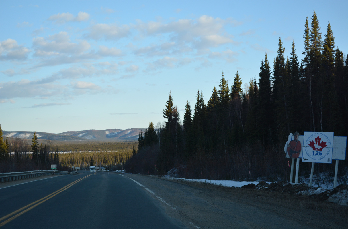
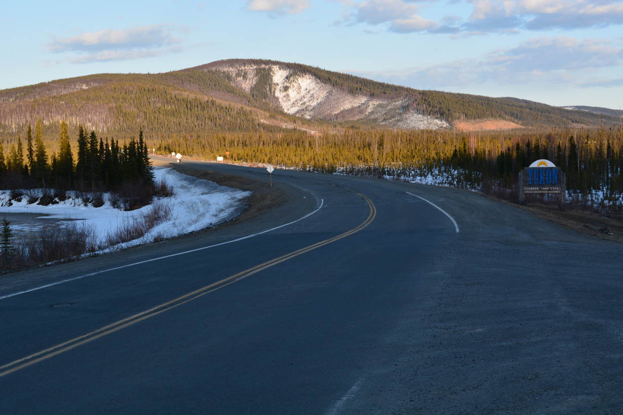
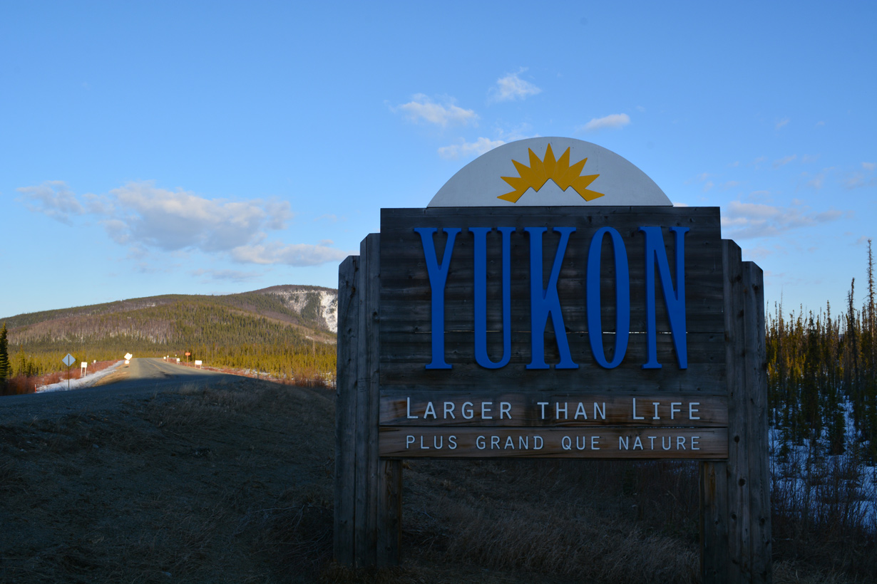
North End ‐ International Border – Alcan Border, AK
 East
East  South
South
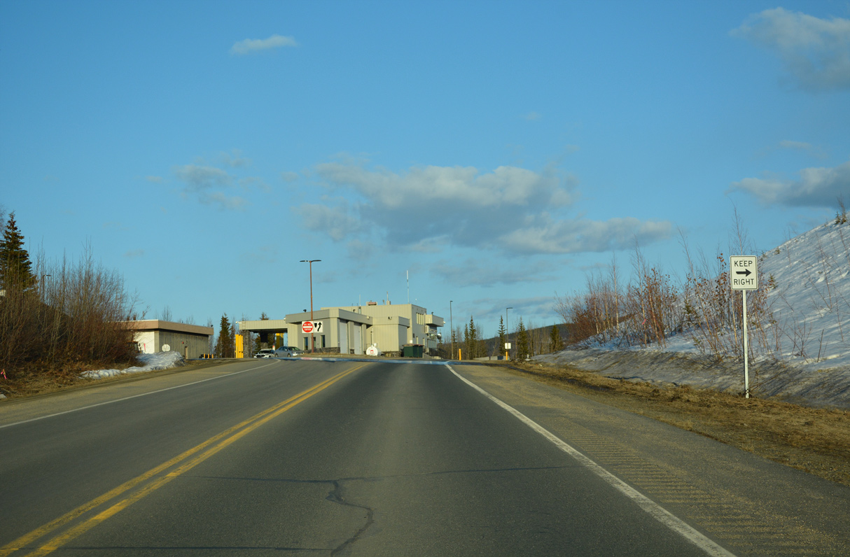
Interstate A1/SR 2 passes by the U.S. Border Inspection Station southbound just beyond Alaska Highway mile marker 1222. 05/08/23
West North
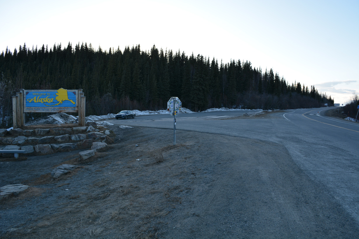
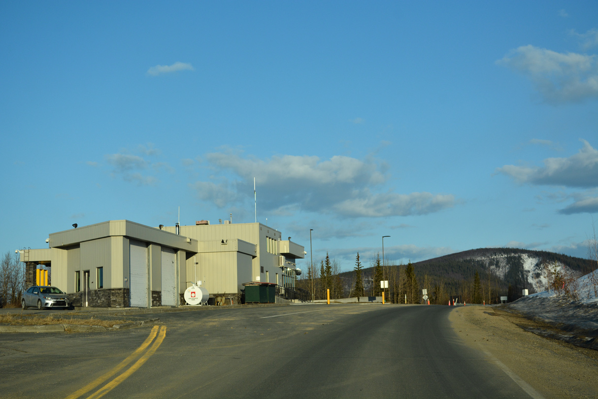
Alaska Highway (Yukon Route 1) transitions to Alaska State Route 2 north and Interstate A2. 05/08/23
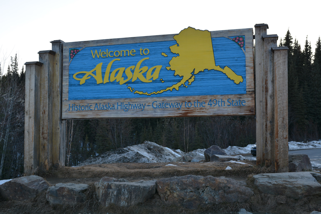
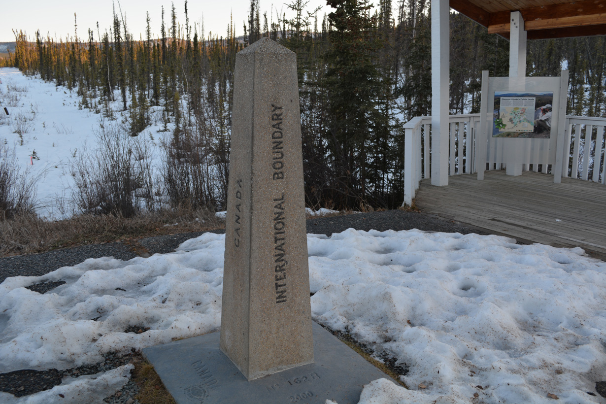
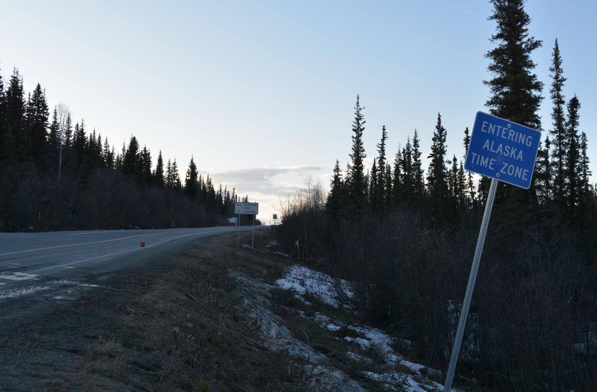
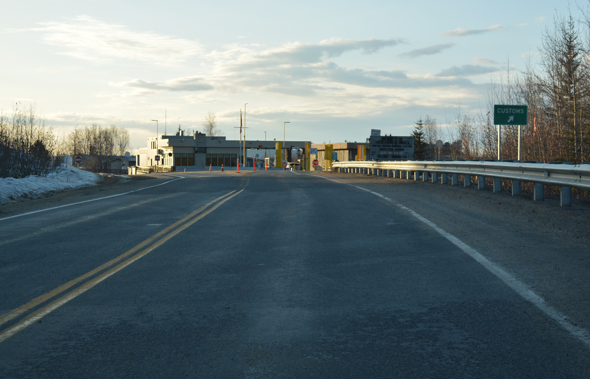
South End  ‐ Anchorage, AK
 South at
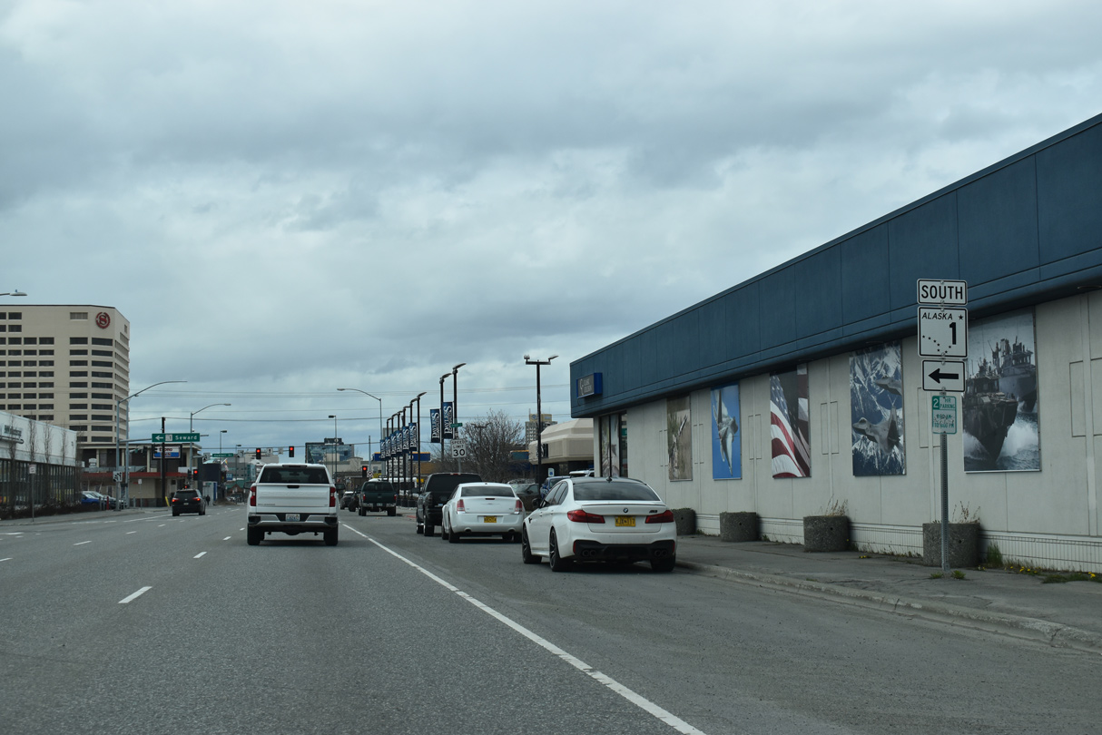
Interstate A1 ends along SR 1 southbound at the turn from 6th Avenue onto Gambell Street and I-A3. 05/10/23
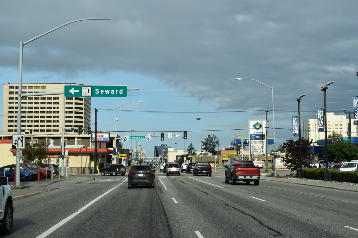
Gambell Street south at
I-A3/SR 1 (Gambell Street) south at the northbound beginning of I-A1 along 6th Avenue in Anchorage. 05/10/23
6th Avenue – East at
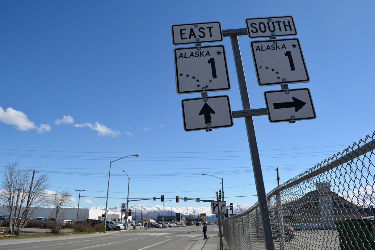
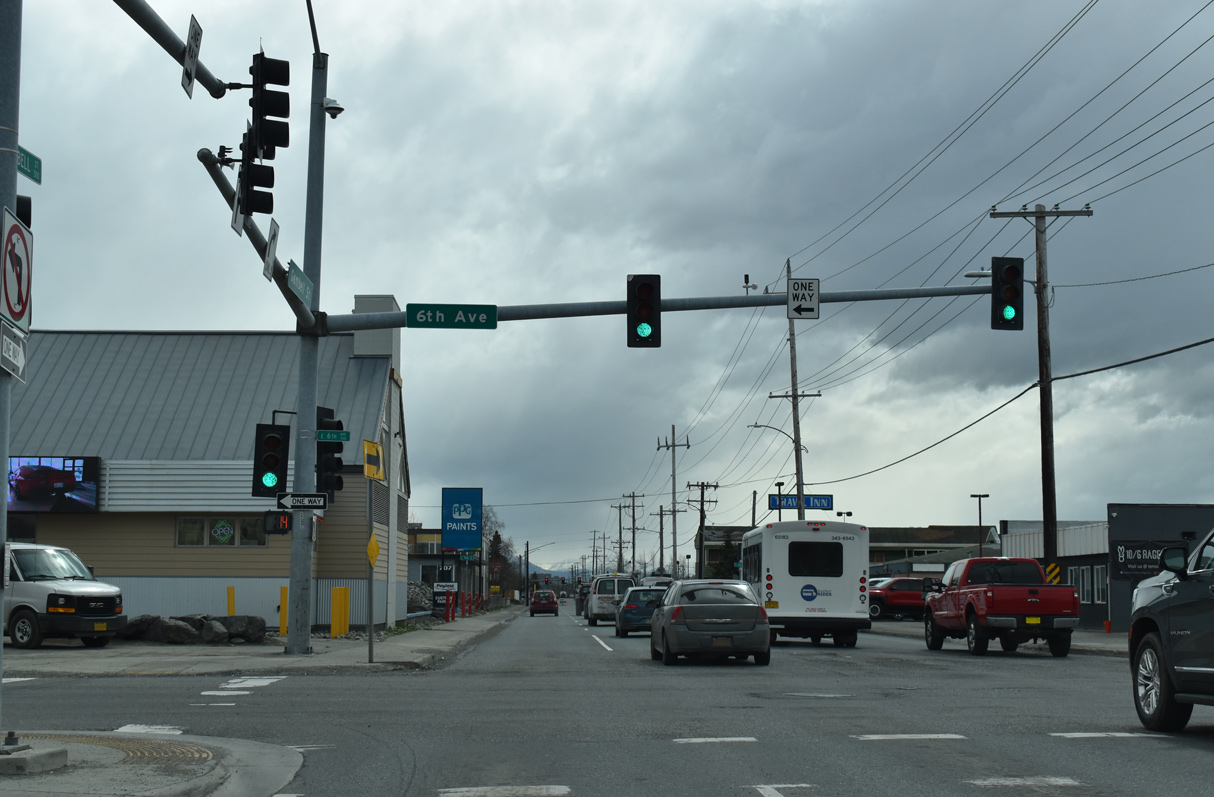
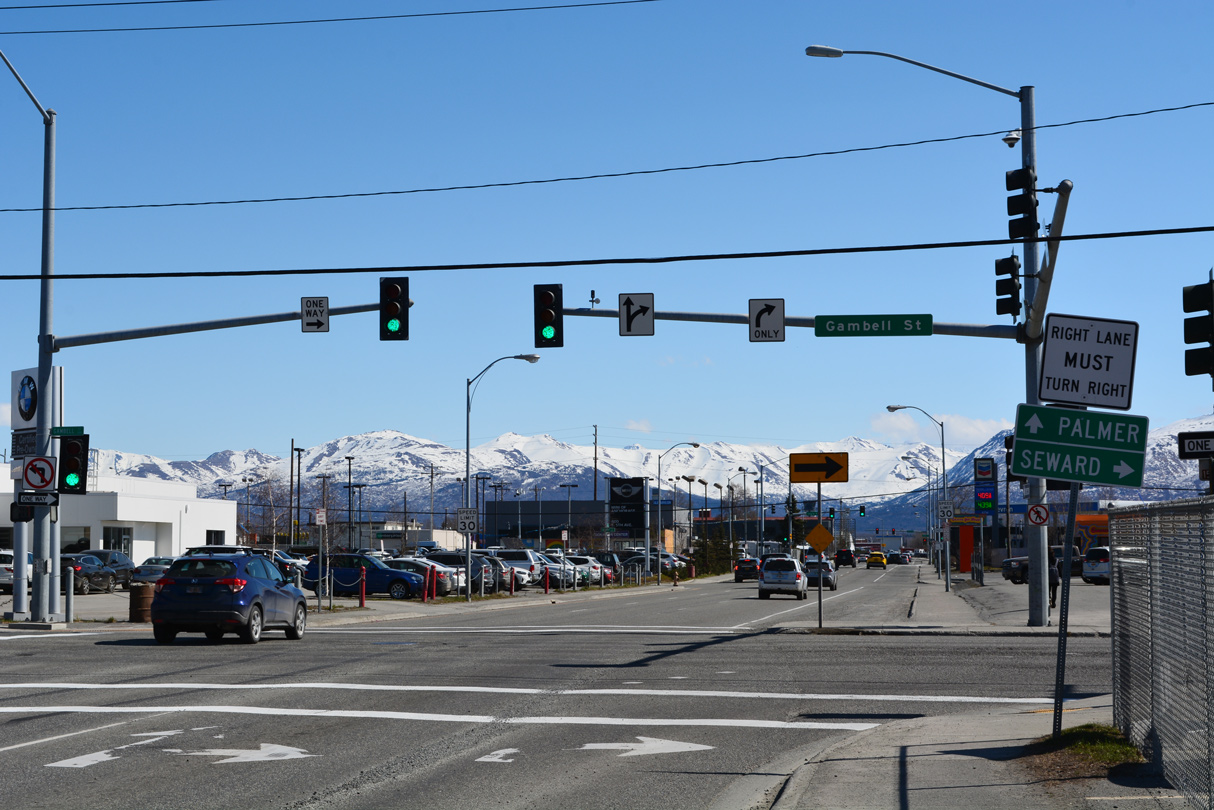
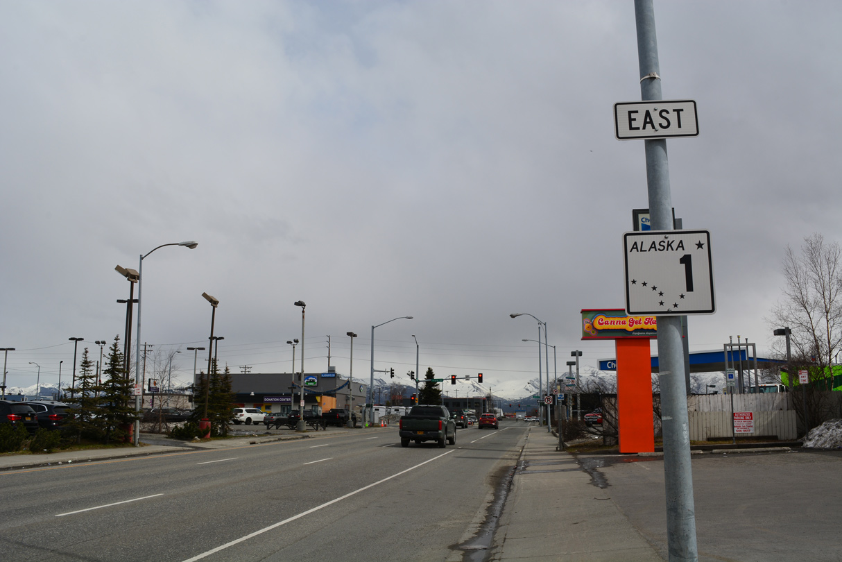
6th Avenue forms a couplet with 5th Avenue through Downtown Anchorage. The pair are part of Interstate A1 east of I-A3/SR 1 and the couplet of Gambell and Ingra Streets. 05/13/23
North at
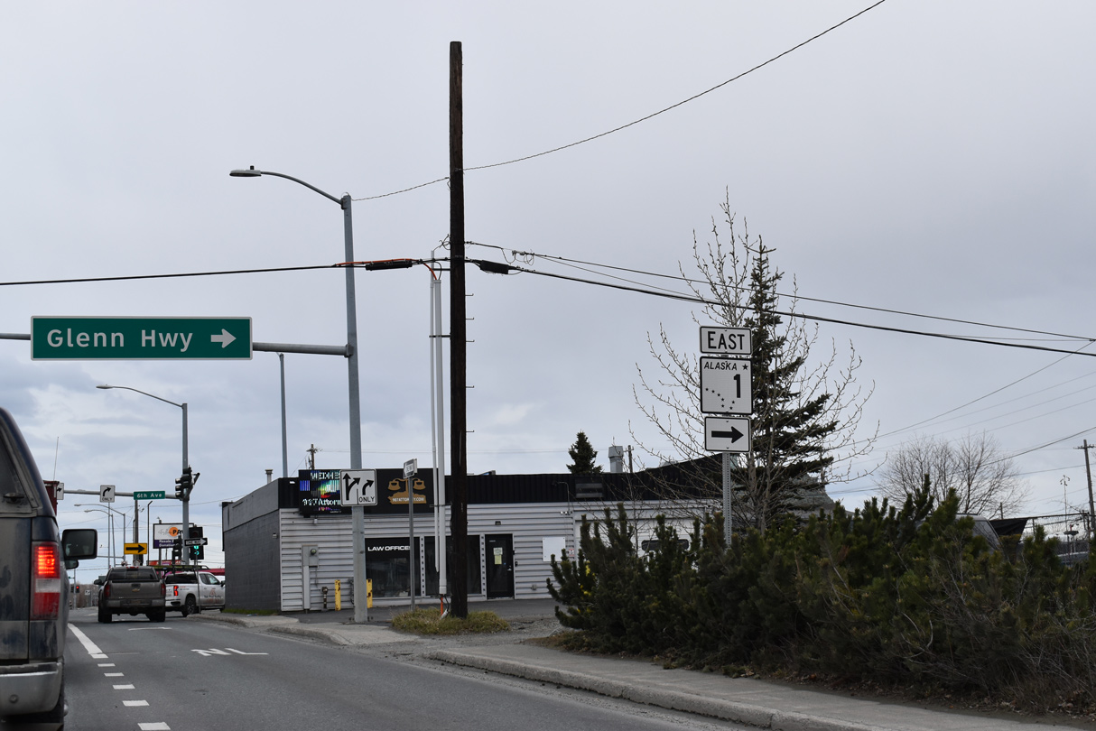
I-A3 north ends where SR 1 turns east alongside Interstate A1 to Glenn Highway and Palmer. 05/10/23 05/10/23
References
- "Paved Glenn Highway Cuts Through Splendid Country" Fairbanks Daily News-Miner (AK), November 20, 1957.
- "Road Commission Reports on Activities During Past Year." Fairbanks Daily News-Miner (AK), November 15, 1951.
- "Breakup to Bring Highway Restrictions in Many Areas." Fairbanks Daily News-Miner (AK), April 5, 1955.
- "State Gets Approval for Glenn Highway Work." Daily Sitka Sentinel (AK), September 7, 1990.
- "Interchange project receives national recognition." Alaska Journal of Commerce (Anchorage, AK), December 2, 2006.