
Interstate 980 California
Overview
Interstate 980 is an urban freeway connecting I-880 (Nimitz Freeway) with California State Route 24 (Grove Shafter Freeway) in the city of Oakland. I-980 forms the western leg of a major commuter route joining the East Bay communities of Walnut Creek and Concord with Downtown Oakland and Oakland International Airport (OAK).
Sign replacements made in 2016 added exit numbers to eastbound off-ramps. Confirming markers along Interstate 980 were installed by 2011.
Mileage by State
| California | 2.00 mi |
Data Sources
December 31, 2025 Interstate Route Log and Finders List
History
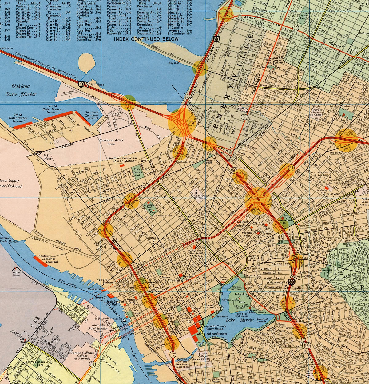
The one mile section of I-980 between I-580 and 21st Street was constructed as part of Federal-aid Projects I-580-1(148)1 and U-039-1(10). The controlled access roadway was built to Interstate standards except for shoulder widths, which were eight feet wide on elevated structures. The Federal Highway Administration (FHWA) allowed the minor exception and accepted the route into the Interstate system on January 29, 1976. The remaining 0.8 mile segment southwest to SR 17 (I-880) was also approved under the provisions of 23 USC 103(e)(1).1
FHWA tentatively assigned Interstate 180 for the route, subject to concurrence of the American Association of State Highway and Transportation Officials (AASHTO). However it was determined that 980 should be used instead, due to conflicts with California State Route 180 across the Central Valley. Numbering the route I-980 was subsequently discussed with the FHWA, resulting in their concurrence. Interstate 980 was formally approved by AASHTO on July 12, 1976.1
Interstate 980 was added to the Interstate Highway System to secure federal funding. Otherwise it was slated to become part of an extended freeway for SR 24. A 0.80 mile section of the route was initially approved as an addition to the California Interstate Highway System mileage in 1976. The Interstate was designated by the Federal Highway Administration (FHWA) in 1983 and added to the California State Highway System in 1984. A ribbon cutting ceremony marked the completion of Interstate 980 on March 6, 1985.2
Interstate 980 served as a detour route for the northernmost portion of I-880 (Nimitz Freeway) between 1989 and 1999. Portions of the Cypress Structure, the double-decked section of the Nimitz Freeway (I-880), collapsed during the 1989 Loma Prieta Earthquake. I-980 became the defacto route north to I-80 west across the San Francisco-Oakland Bay Bridge and I-80/580 north to Richmond.
There are no plans to extend the Interstate 980 designation east or west. With the addition of the fourth bore for the Caldecott Tunnel, SR 24 is up to Interstate Standards east to Orinda and Walnut Creek. The fourth bore opened to traffic on November 16, 2013, expanding the freeway to eight overall lanes across the Berkeley Hills.
East End 
 ‐ Oakland, CA
 East at
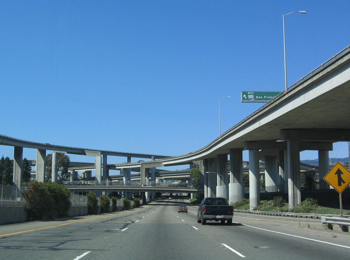
Interstate 980 travels below grade between Brush and Castro Streets before shifting eastward onto a viaduct over Grand and San Pablo Avenues. There are no additional local off-ramps to the multi level interchange with Interstate 580. 07/11/18
West at
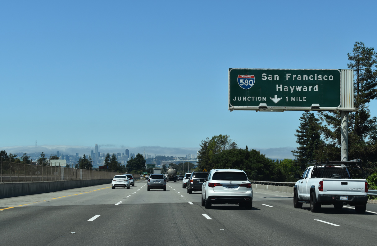
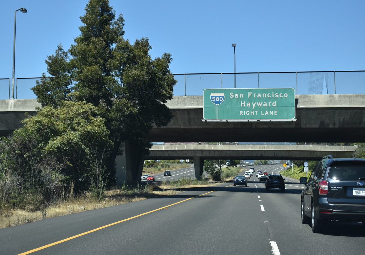
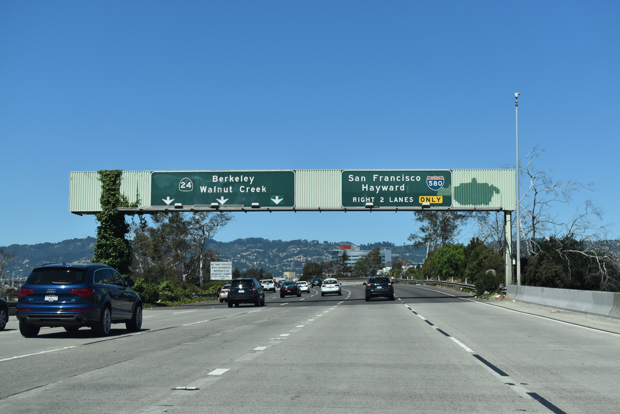
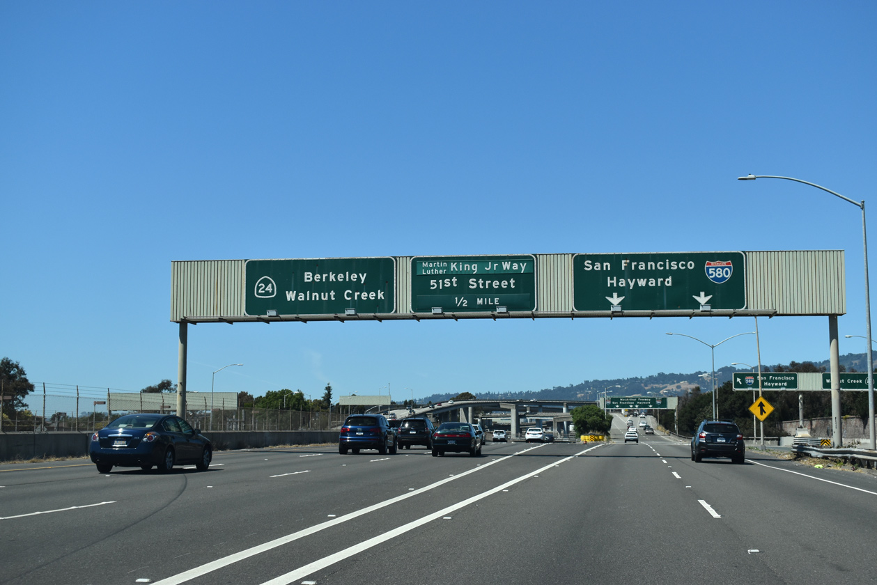
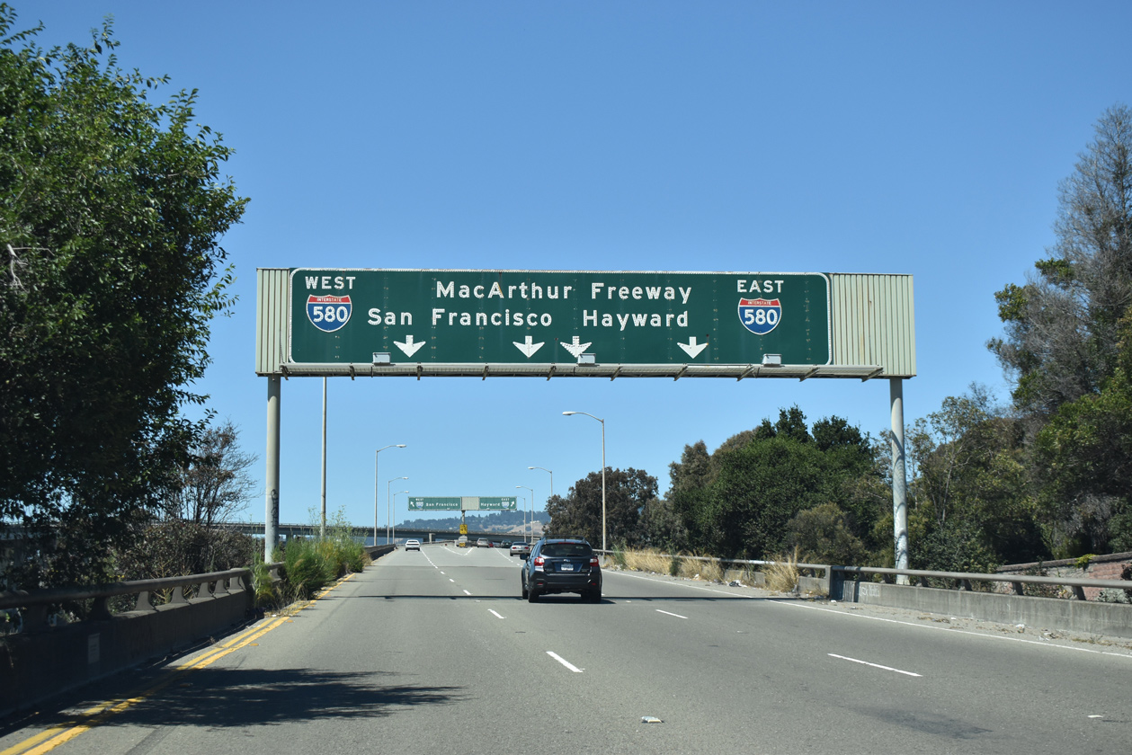
Crossing over Claremont Avenue and Hudson Street, one mile ahead of Interstate 580 (MacArthur Freeway) and I-980. 07/08/22
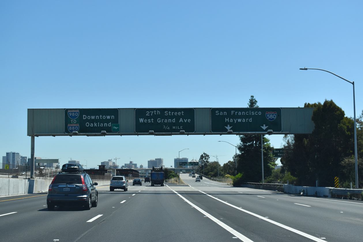
East at
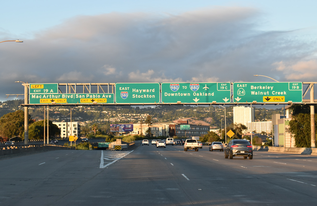
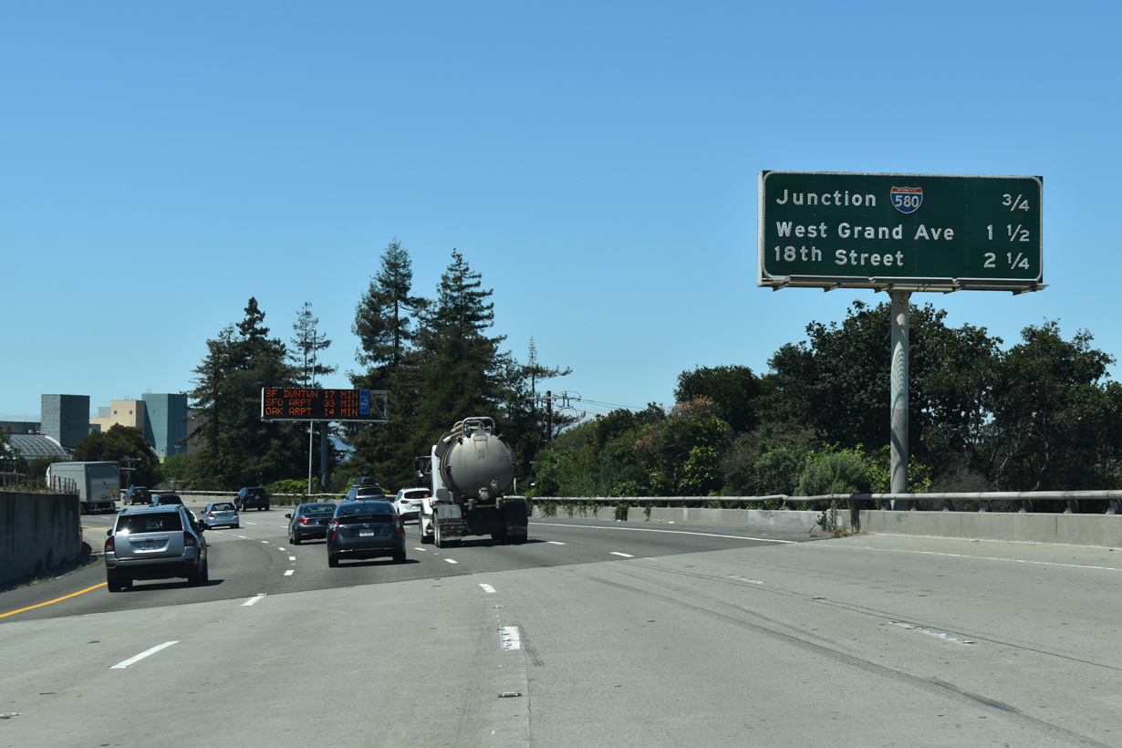
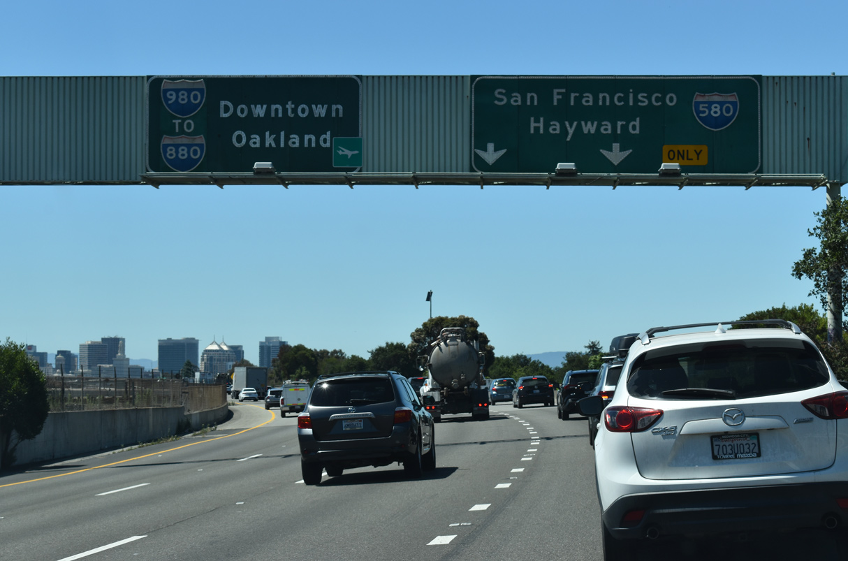
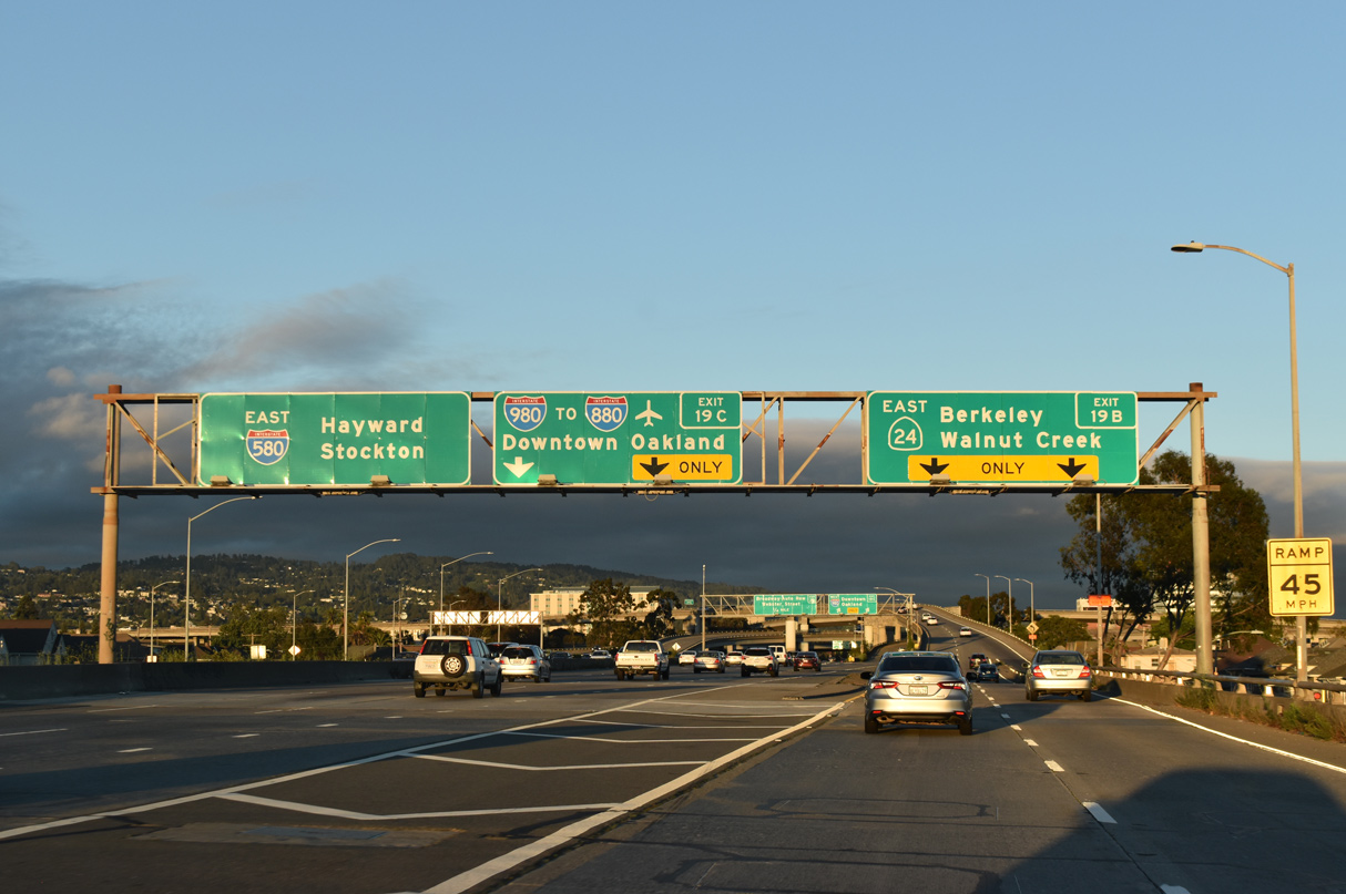
Leaving the MacArthur Maze interchange with I-880 (Nimitz Freeway) south and the San Francisco-Oakland Bay Bridge (I-80) west, Interstate 580 (MacArthur Freeway) advances 0.9 miles east from the wye with MacArthur Boulevard to I-980 west and SR 24 east. 07/06/22
West at
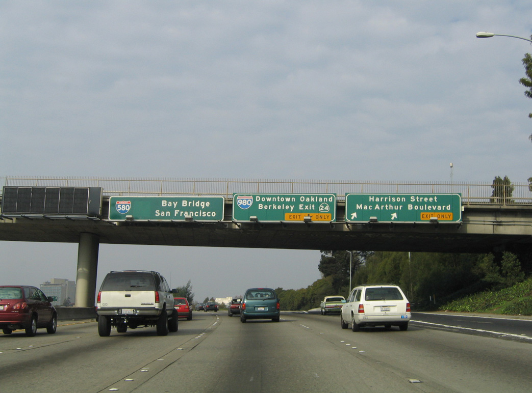
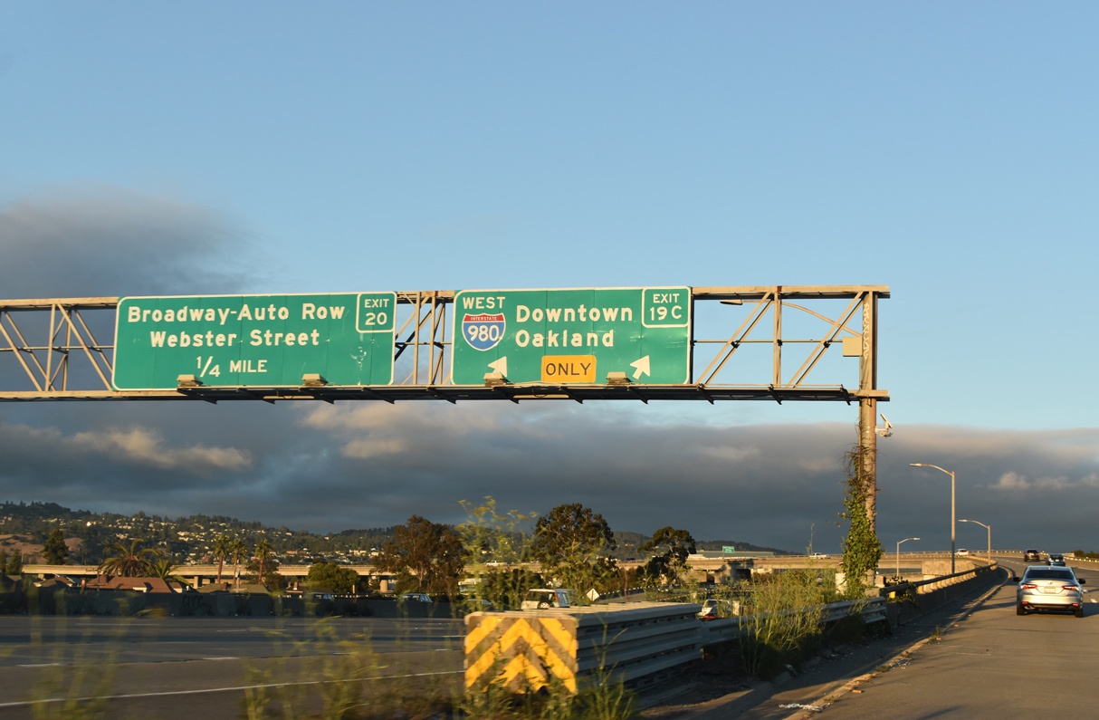
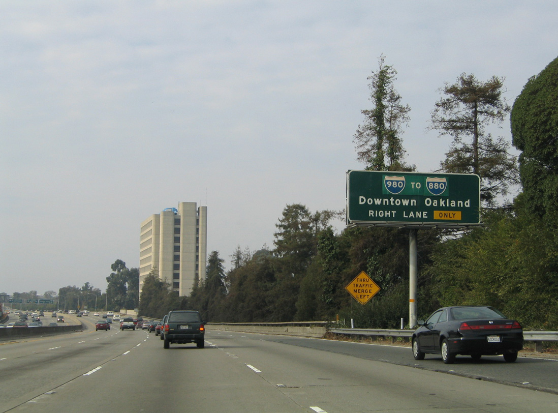
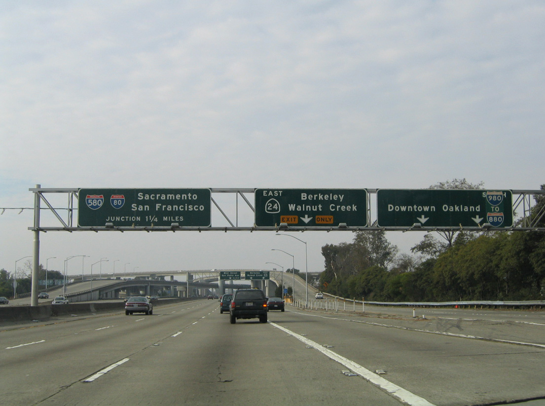
The first signs for I-980 and SR 24 along I-580 (MacArthur Freeway) westbound appear at the Adams Street overpass. The freeway mainline advances with three lanes to the Maze Interchange, where it converges with I-880 north and I-80 near the eastern approach to the San Francisco-Oakland Bay Bridge. These overheads were replaced in 2016. 11/26/04
East End – Past Views
Past Views Gallery (Tap to Expand / Collapse Section)
East at
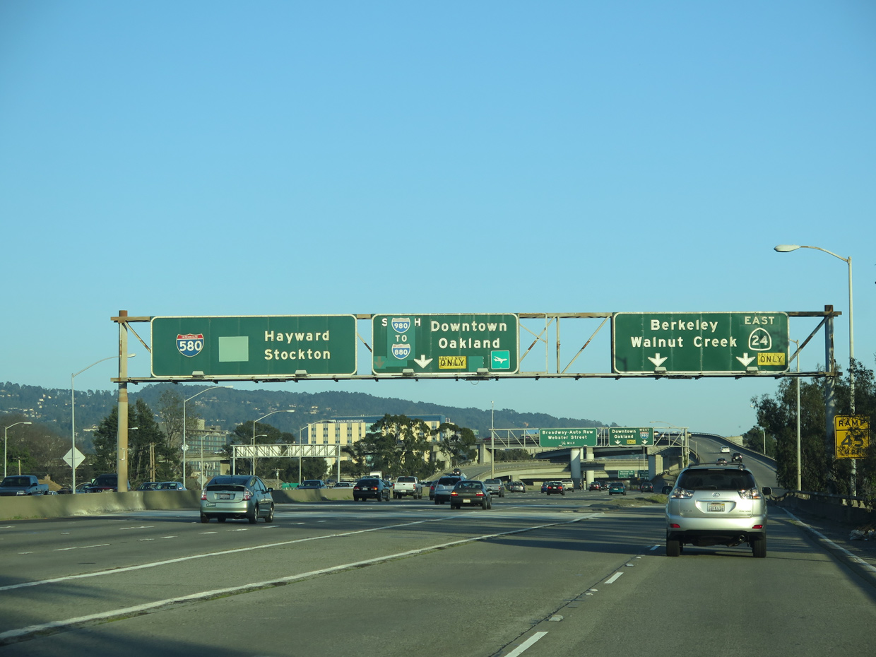
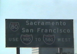
Replaced button copy on I-580 east at SR 24/I-980. SR 24 constitutes a busy commuter freeway from I-980 in Oakland and Berkeley to the East Bay cities of Lafayette, Walnut Creek and Concord. 03/07/15
West End  ‐ Downtown Oakland, CA
West at
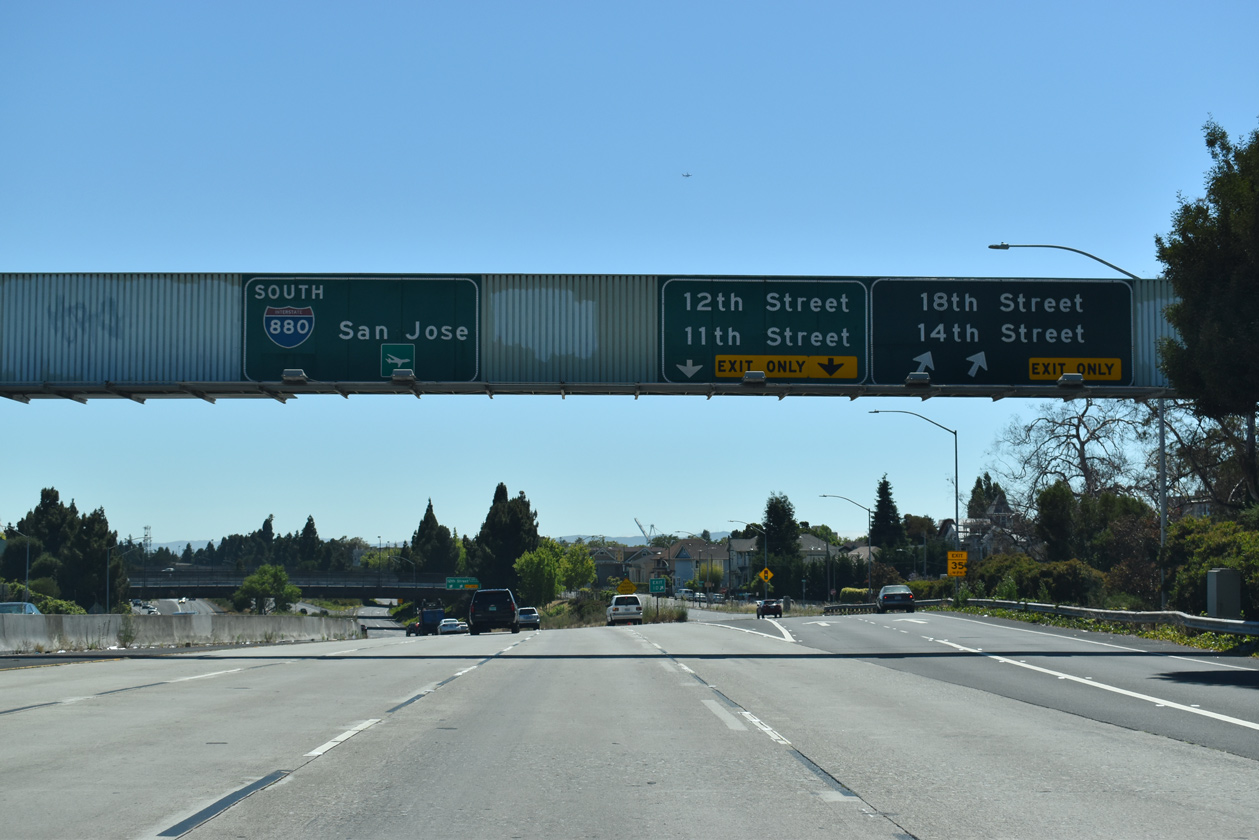
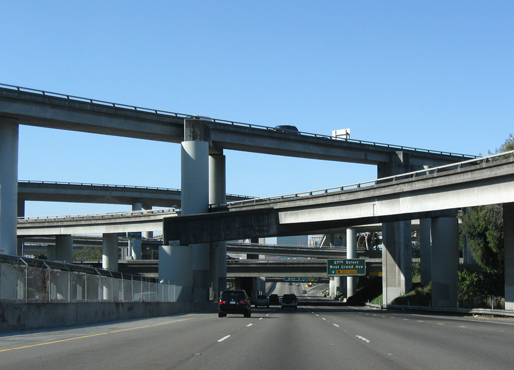
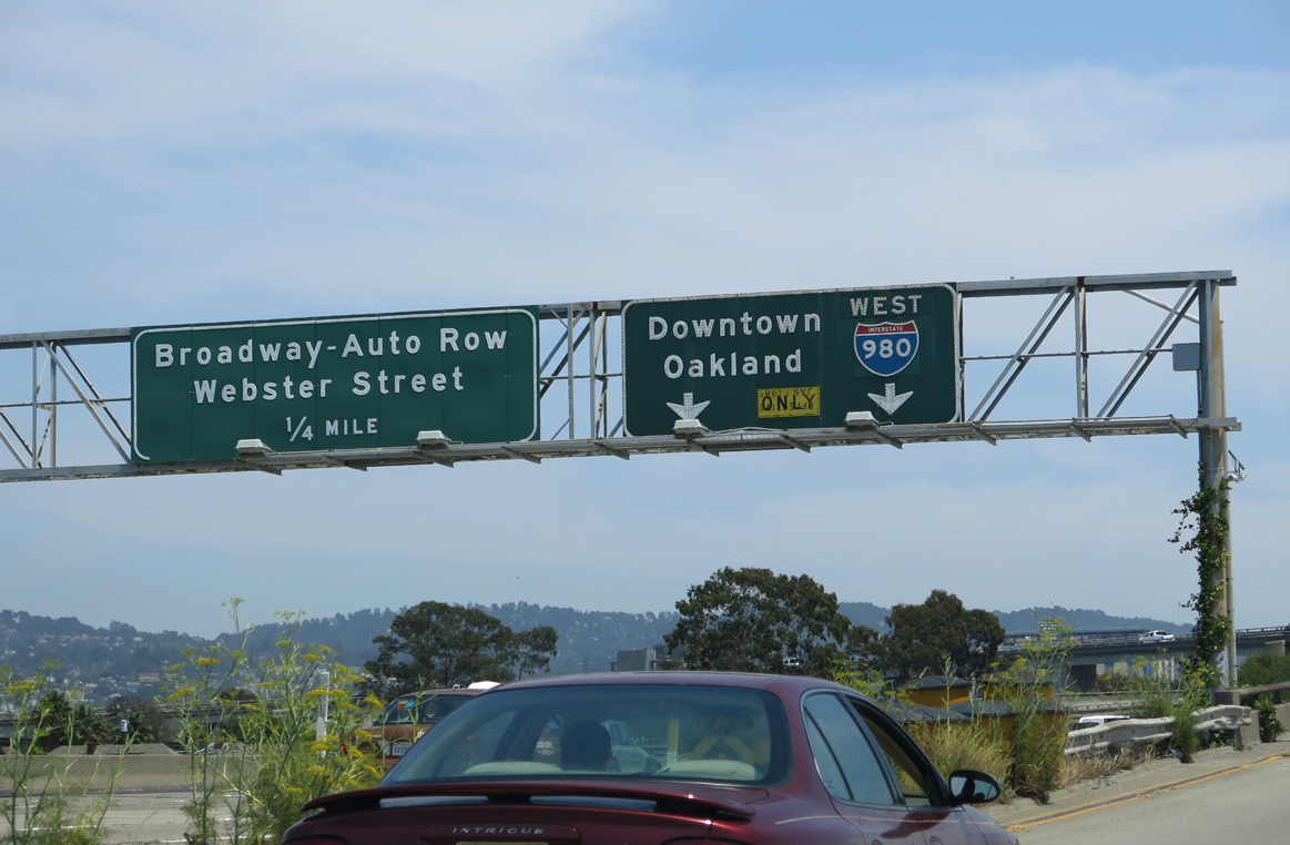
Back to back off-ramps connect Interstate 980 west with parallel Brush Street for the numbered street grid at Downtown Oakland. The freeway drops below grade ahead of Interstate 880 south. 07/11/18
South at
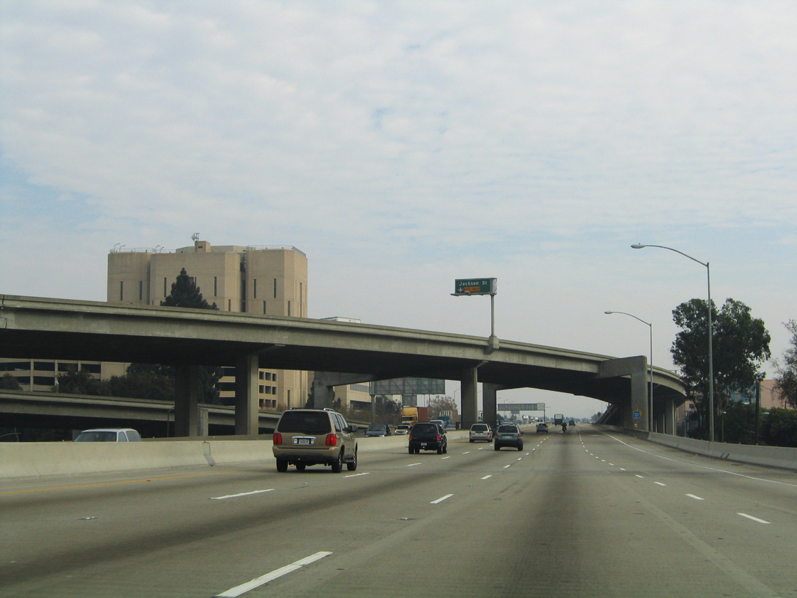
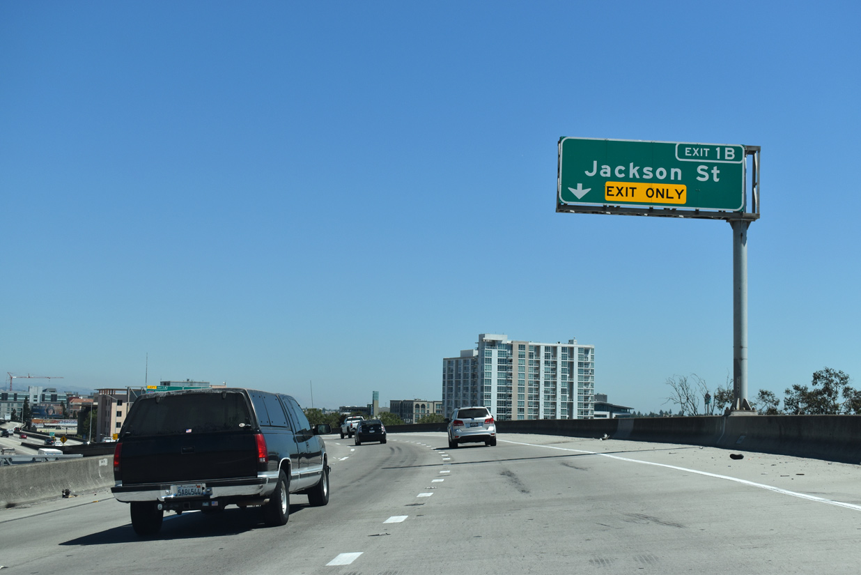
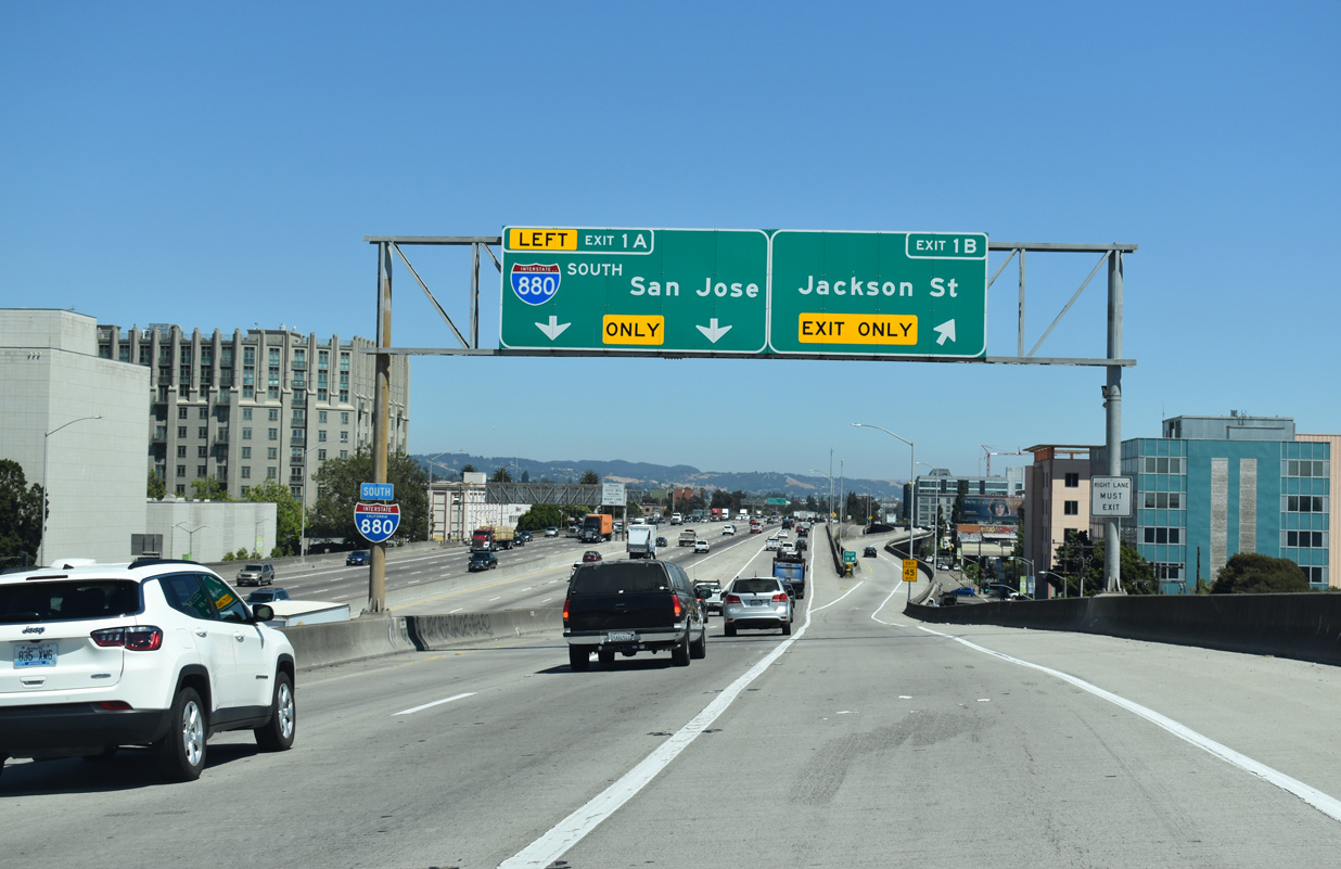
Interstate 980 west defaults onto I-880 (Nimitz Freeway) south at a wye interchange. A lengthy Breezewood style connection can be made to access I-980 east via Union, 7th and Castro Streets. 11/26/04
North at
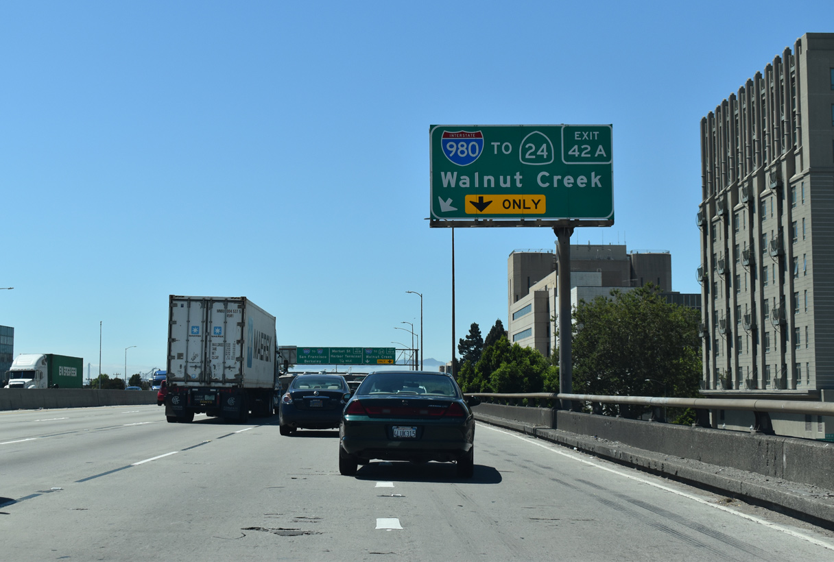
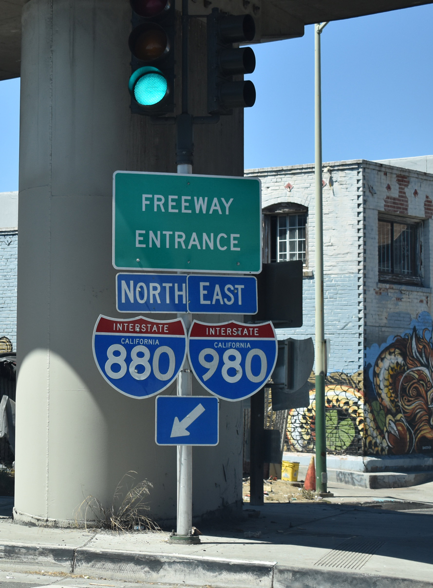
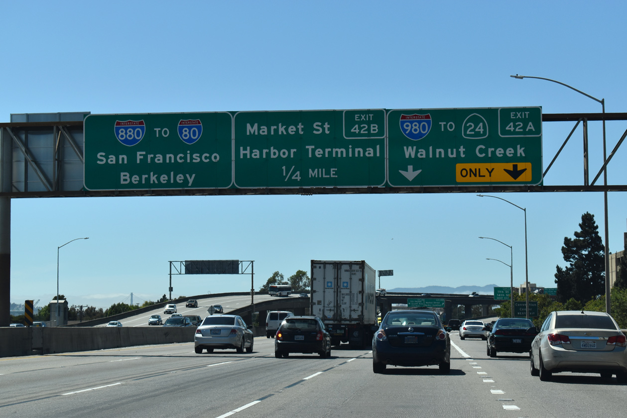
The entrance ramp from Jackson Street to I-880 adds an auxiliary lane north to Interstate 980 east (Exit 24A). 07/11/18
West End – Past Views
Past Views Gallery (Tap to Expand / Collapse Section)
North at
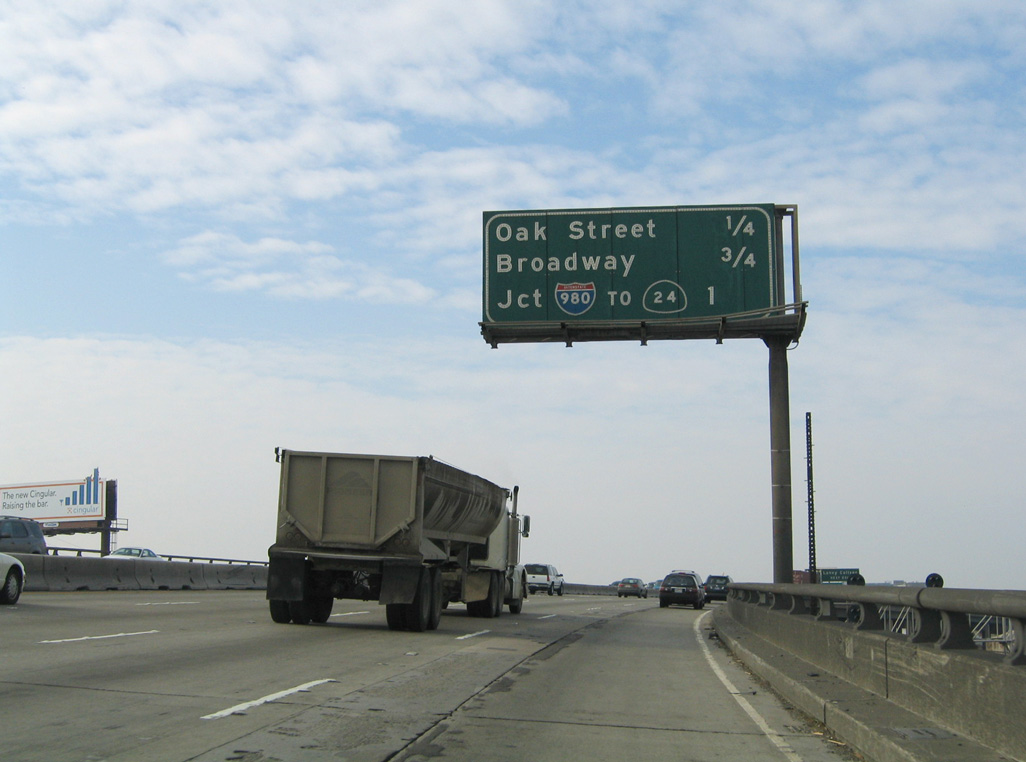
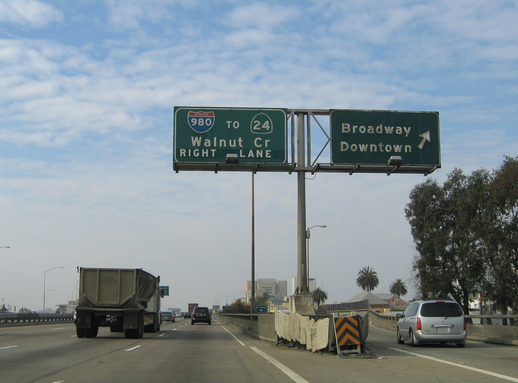
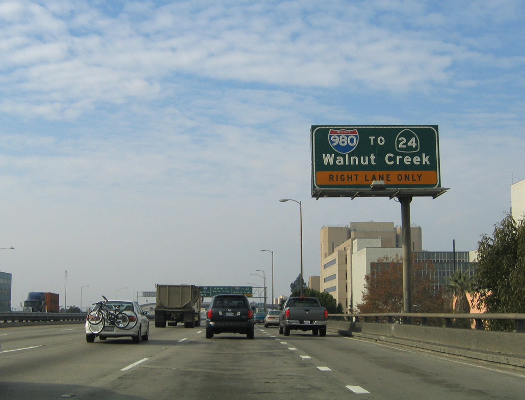
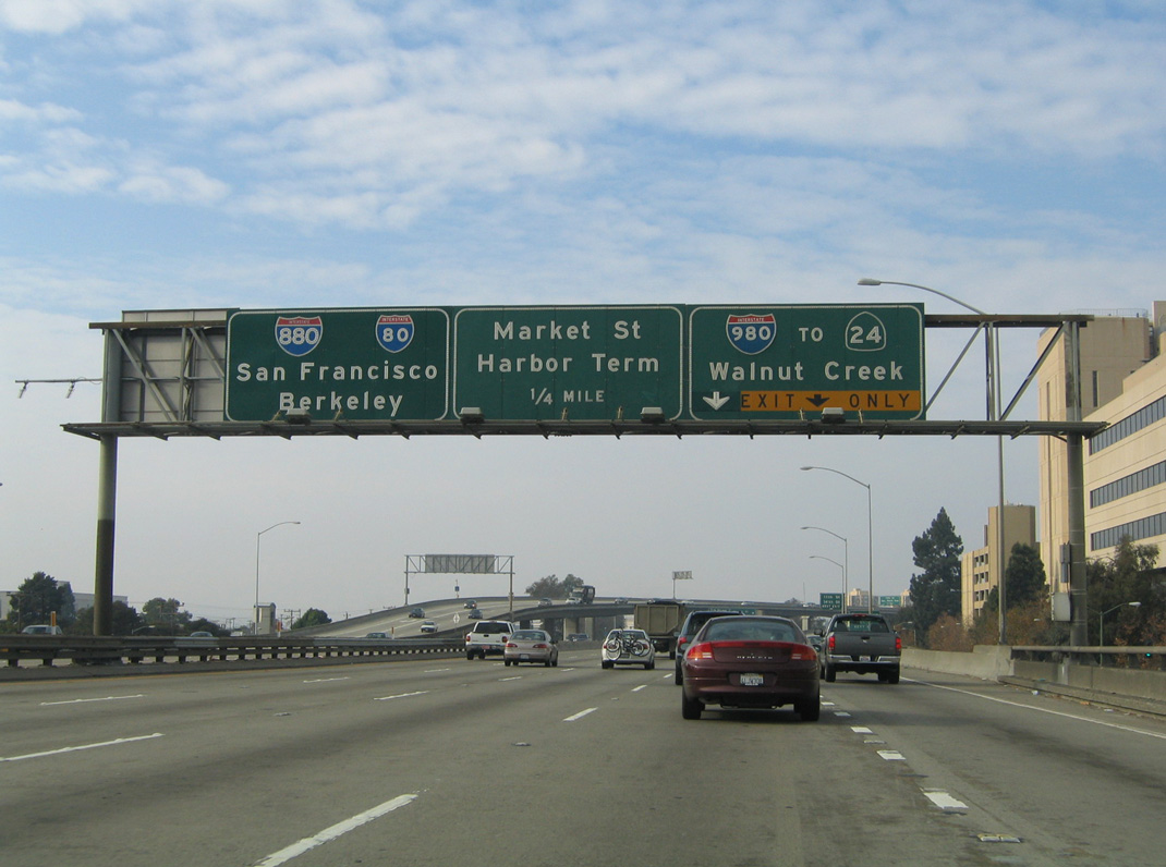
Reconstruction of the I-880 viaduct over 5th Avenue and the Union Pacific Railroad in 2011/12 included replacement of this interchange sequence sign one mile south of Interstate 980. 11/26/04
References
- Application from the State Highway or Transportation Department of California for the Establishment of (I) Route 980. Submitted to the American Association of State Highway and Transportation Officials (AASHTO) on April 29, 1976.
- Eisenhower Interstate Highway System, Previous Facts of the Day. Federal Highway Administration (FHWA). Retrieved from https://www.fhwa.dot.gov/interstate/previousfacts.cfm