
Interstate 805 California
Overview
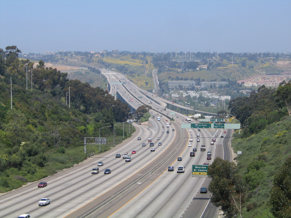
Interstate 805, the Jacob Dekema Freeway, is a well traveled route serving the inland communities within the cities of San Diego, National City, and Chula Vista in San Diego County. The commuter freeway connects the border zone with the homes of Eastlake and the light industry of Sorrento Valley.
Much of the Inland Freeway is eight lanes wide, and eight miles of new high occupancy vehicle (HOV) lanes opened to traffic in March 2014 between East Naples Street in Chula Vista and California State Route 94 in San Diego. The I-805 South Express Lanes Project converts the HOV lanes to tolled lanes, allowing single occupant vehicles to use the carpool lane for a variable toll rate. The Interstate 805 Corridor plan calls for extending the carpool lanes northward to I-5 and south to SR 905.
Mileage by State
| California | 28.67 mi |
Data Sources
December 31, 2025 Interstate Route Log and Finders List
History
Much of Interstate 805 was constructed from the late 1960s to 1975 along what was a largely rural route at that time. There was no original U.S. or state route along its route. However, with the explosion of development in Chula Vista and San Diego, the freeway now provides access to thousands of homeowners. The only portion of Interstate 805 to pass through land that was already extensively developed at the time of construction was through Mission Valley and Mid-City. A towering bridge leads the freeway across Mission Valley, while it follows the historic boundary between San Diego and East San Diego, which today are both part of San Diego. Boundary Street, the former dividing line, now acts as a frontage road for portions of I-805 between SR 94 and I-8.
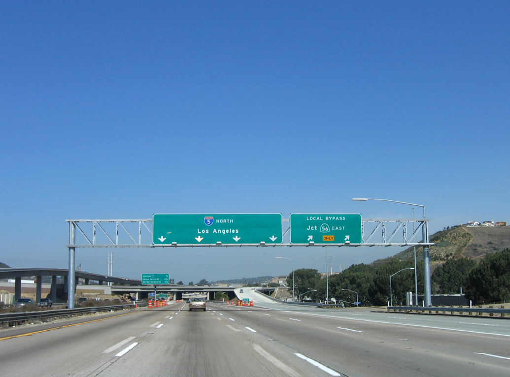
Construction at the north end of I-805 improved the interchange where the Inland Freeway converges with Interstate 5. Underway from March 2002 through Fall 2007, this $176 million project expanded the exchange to a dual freeway configuration with truck bypass lanes, high occupancy vehicle lanes, and connections to SR 56.1 The northbound local bypass lanes were finished in early 2006, followed by opening of the southbound local bypass in Spring 2007.
North End  ‐ Sorrento Valley, San Diego, CA
 North at
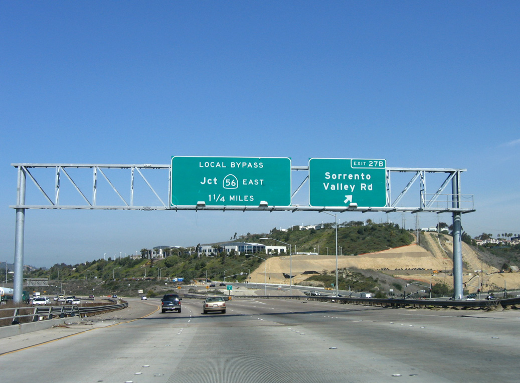
Exit 27B departs I-805 north to Sorrento Valley Road ahead of the wye interchange with Interstate 5. 03/24/06
South at
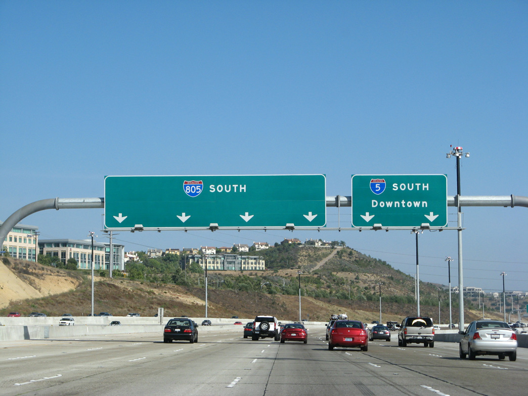
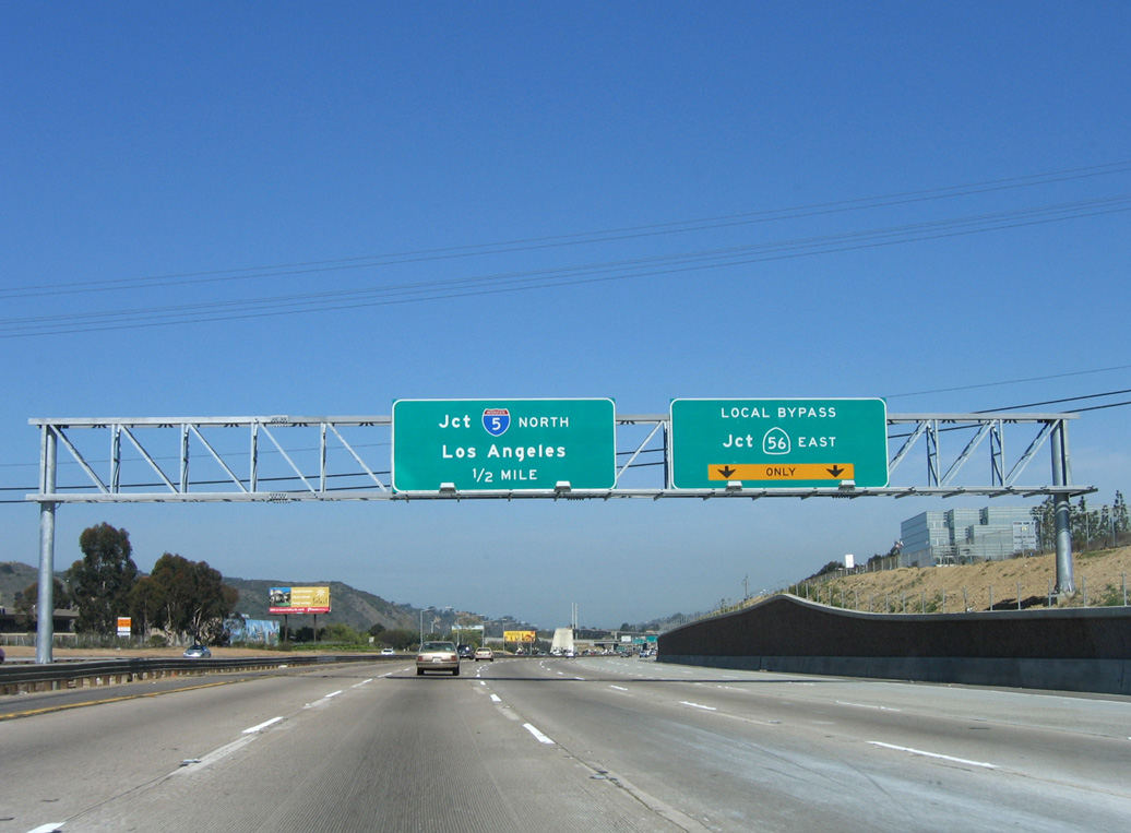
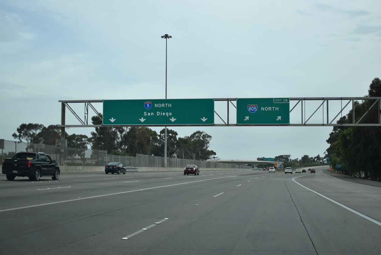
Advancing south through Carmel Valley to the split with I-805 on Interstate 5. I-805 provides a bypass of Downtown San Diego, however it can be as busy or even more so than southbound I-5 during commuting hours. 08/01/08
Local Bypass Lanes – South at
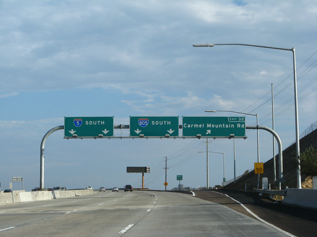
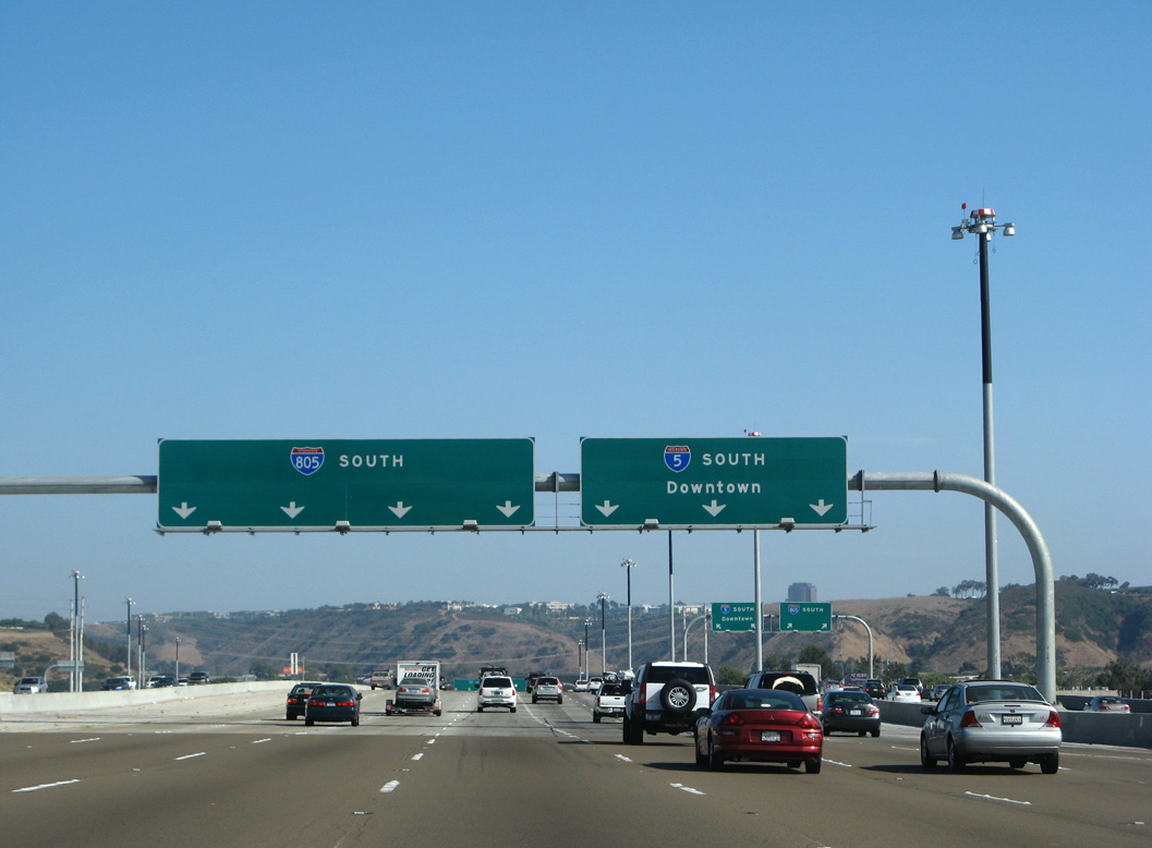
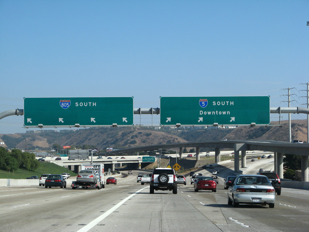
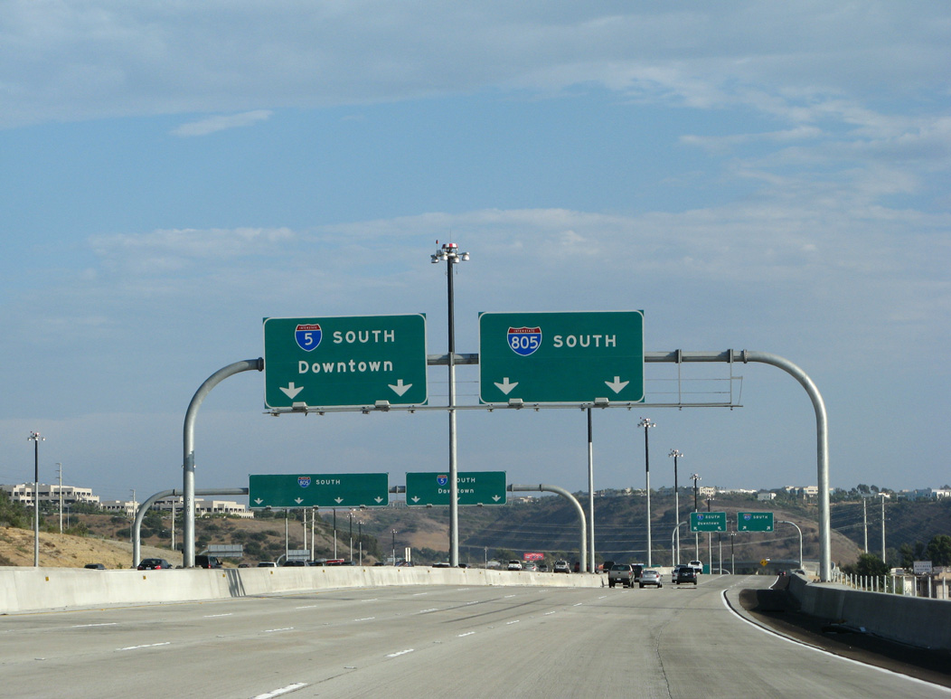
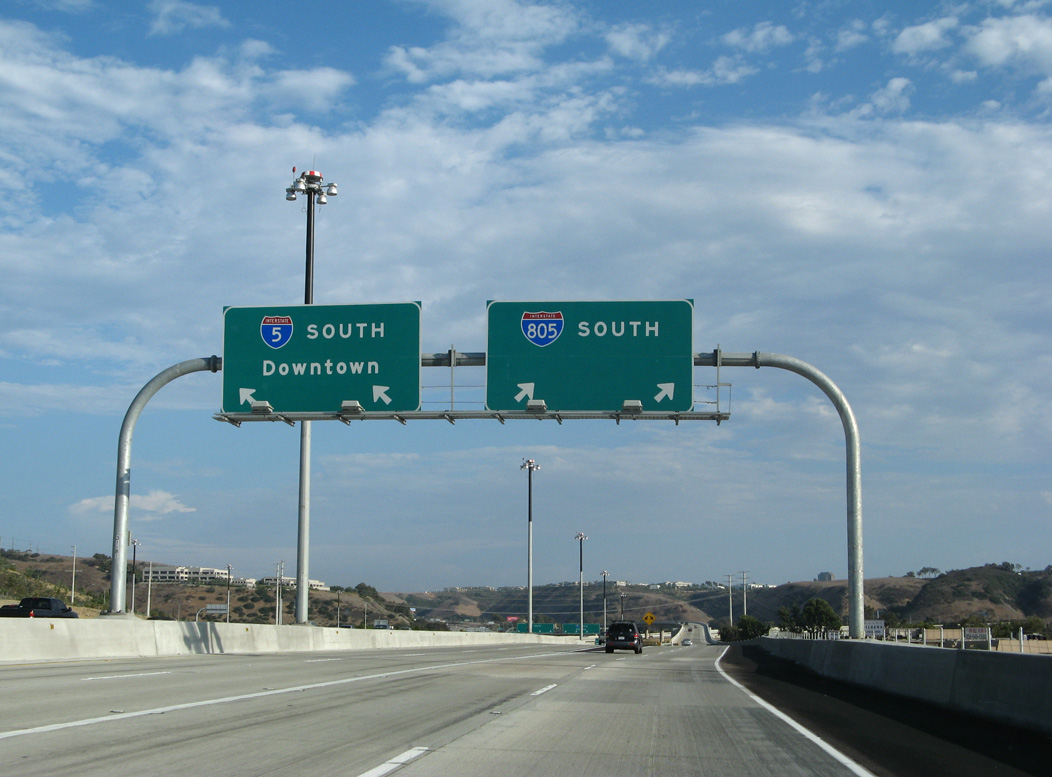
The local bypass lanes of I-5 extend south from the west end of SR 56 (Ted Williams Freeway) to Carmel Mountain Road (Exit 32) and Interstate 805 (Exit 31). 09/01/07
North End – Past Views
Past Views Gallery (Tap to Expand / Collapse Section)
North at
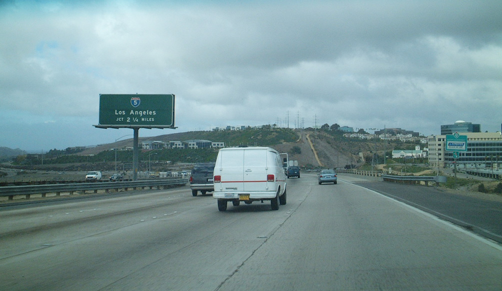
Former overhead referencing the I-805 transition to I-5 at the exchange with Sorrento Valley Road / Mira Mesa Boulevard. 12/09/01
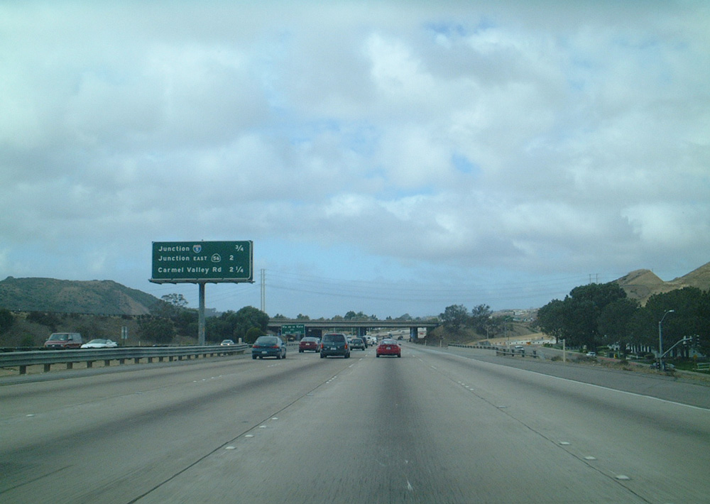
South at
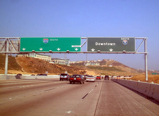
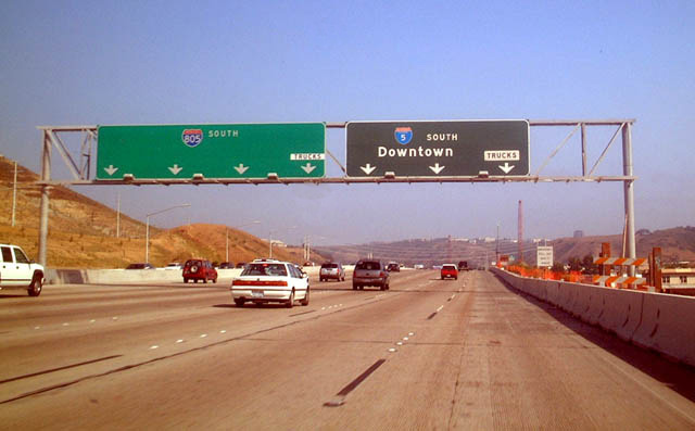
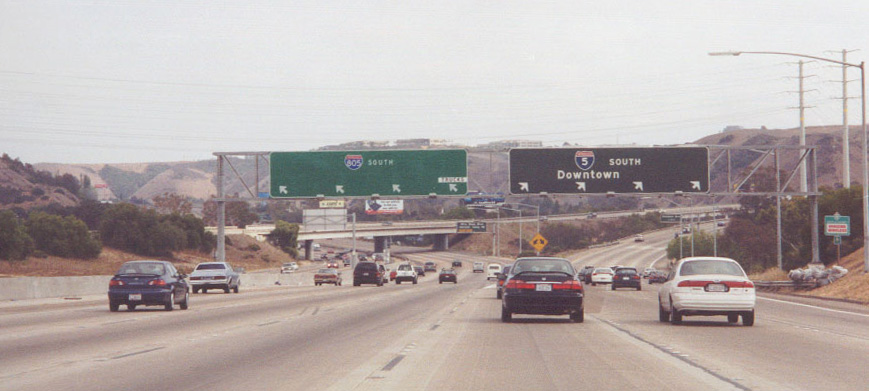
Interstate 5 south approaching the split with I-805 during early stages of the widening project. 06/15/03
South End ‐ San Ysidro, San Diego, CA
South at
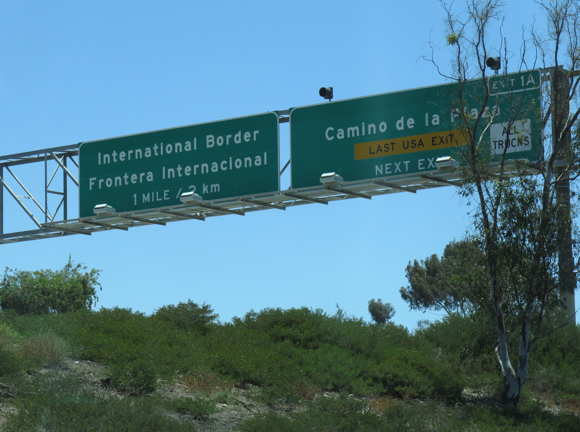
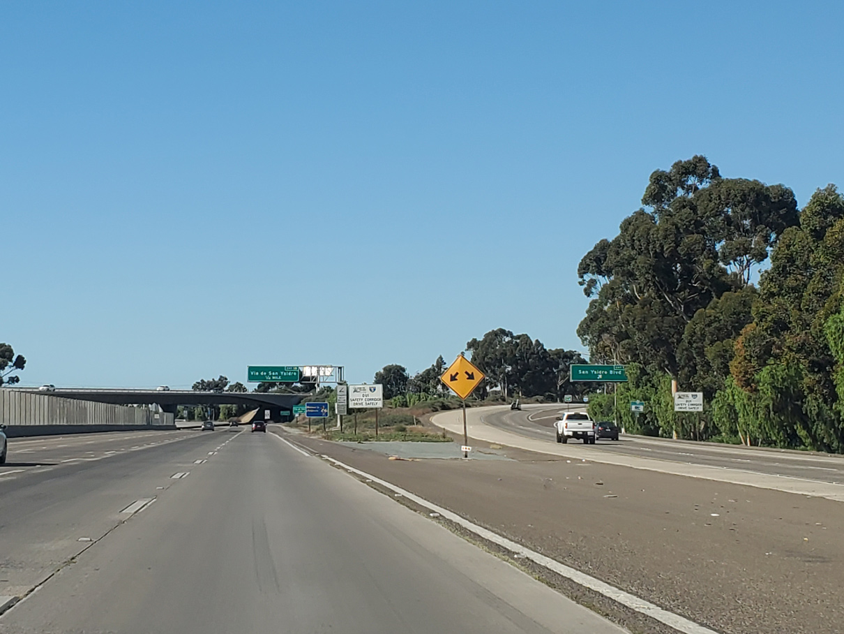
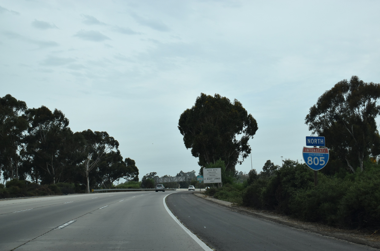
Interstate 805 concludes 0.6 miles south of the San Ysidro Boulevard under crossing at a wye interchange with I-5 south. 07/10/16
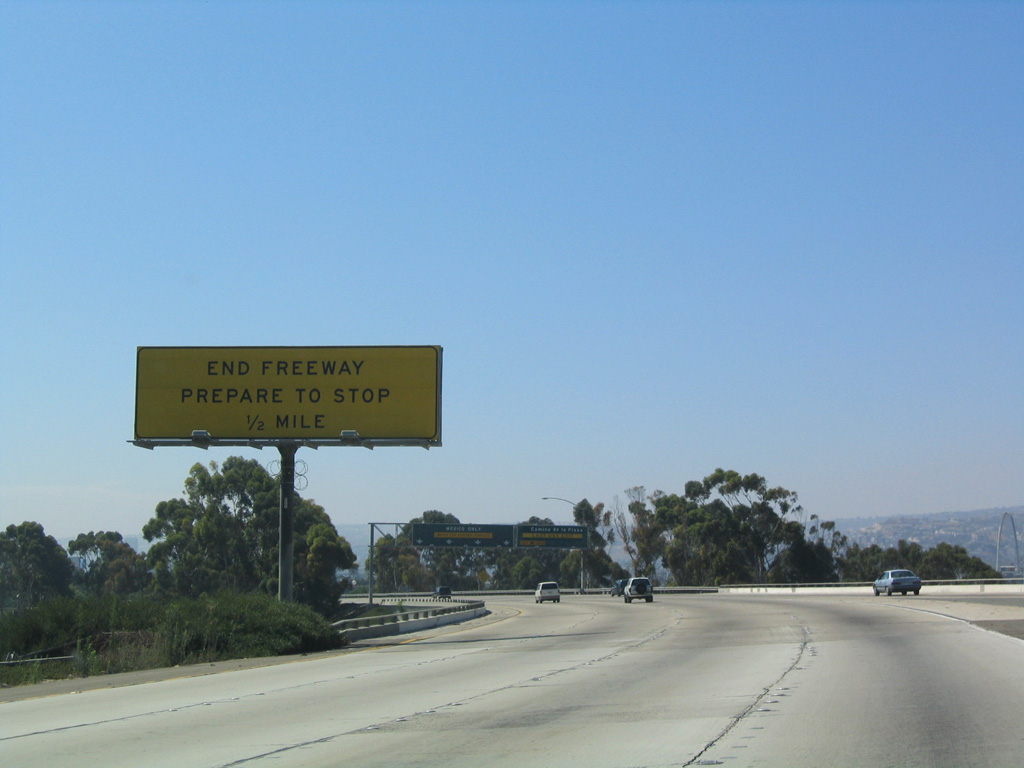
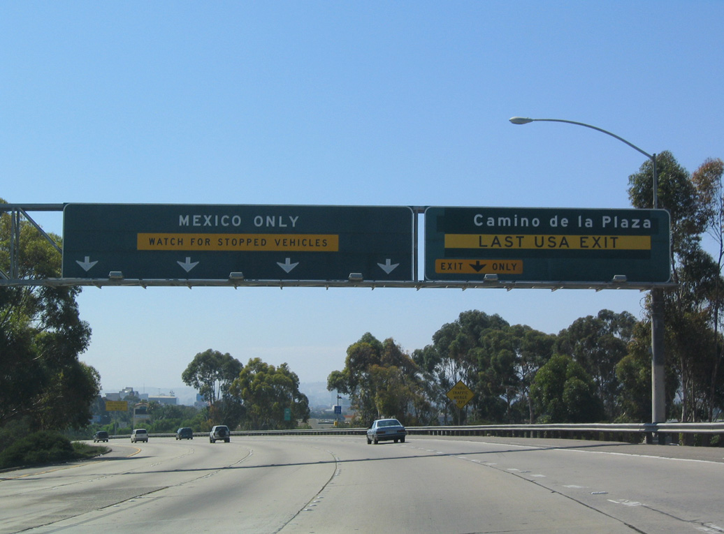
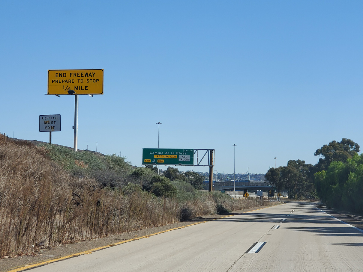
North at
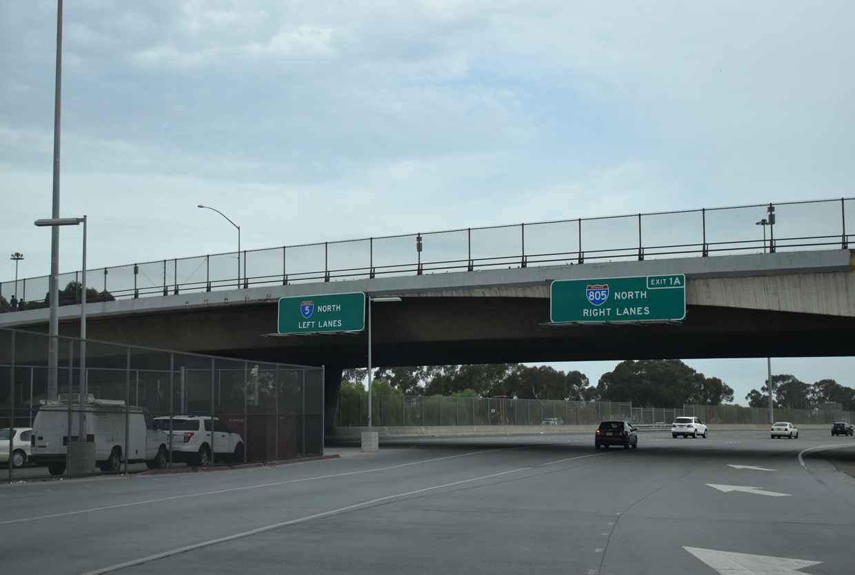
Traffic from the port of entry/customs station from Tijuana, Mexico, the last U-turn from I-5 southbound, and the entrance ramp from San Ysidro Boulevard combines below Camino de la Plaza and 0.2 miles from the I-5/805 split. 07/09/18
South End – Past Views
Past Views Gallery (Tap to Expand / Collapse Section)
at
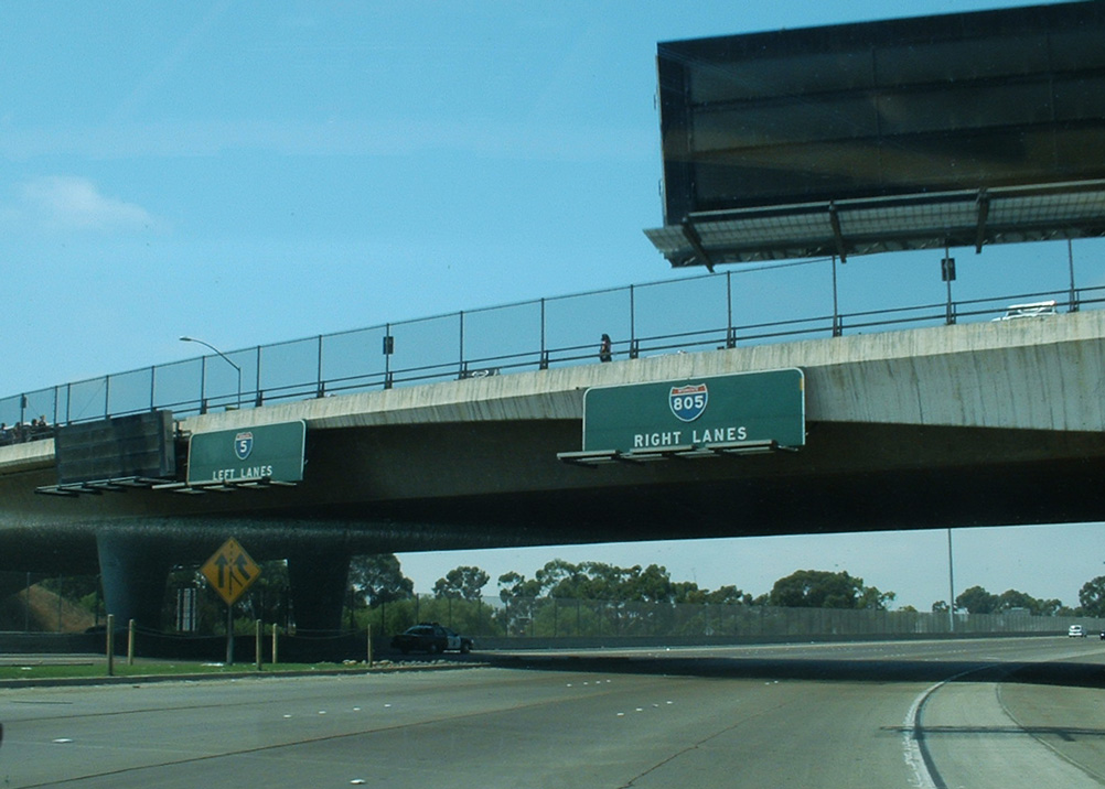
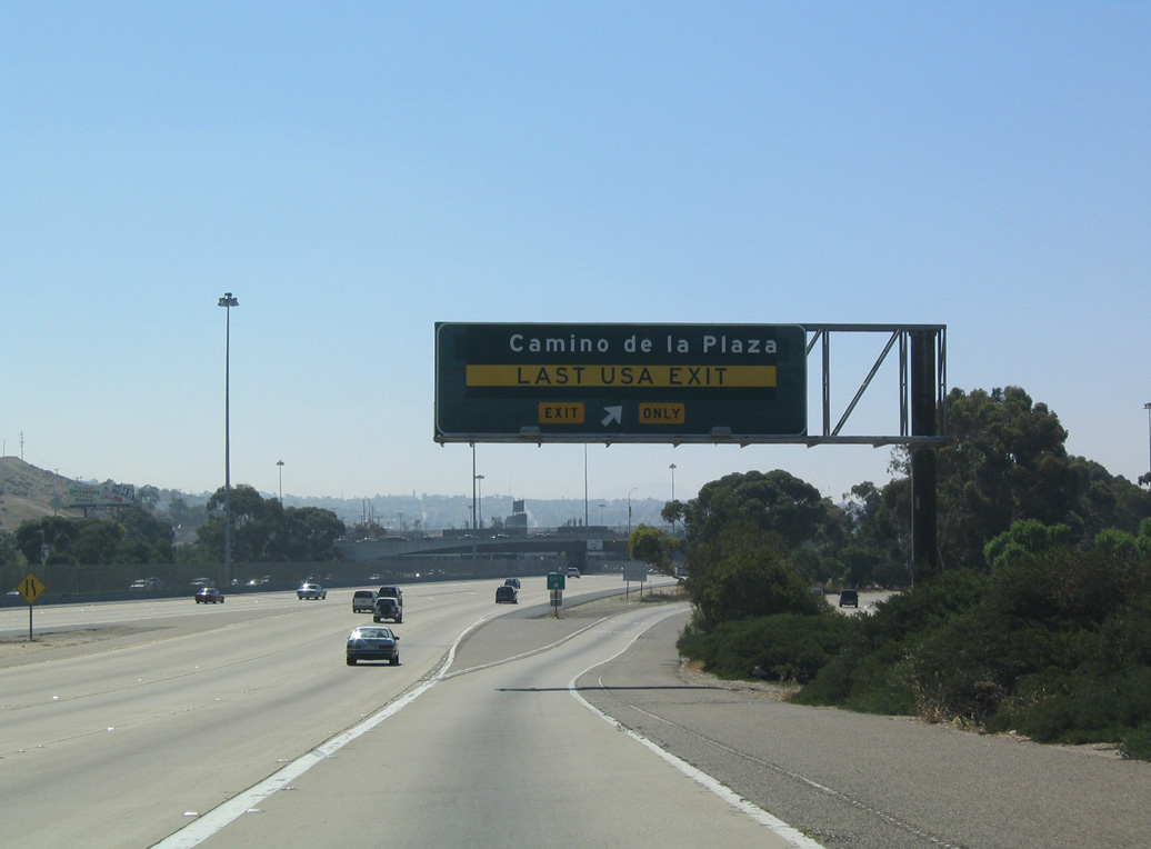
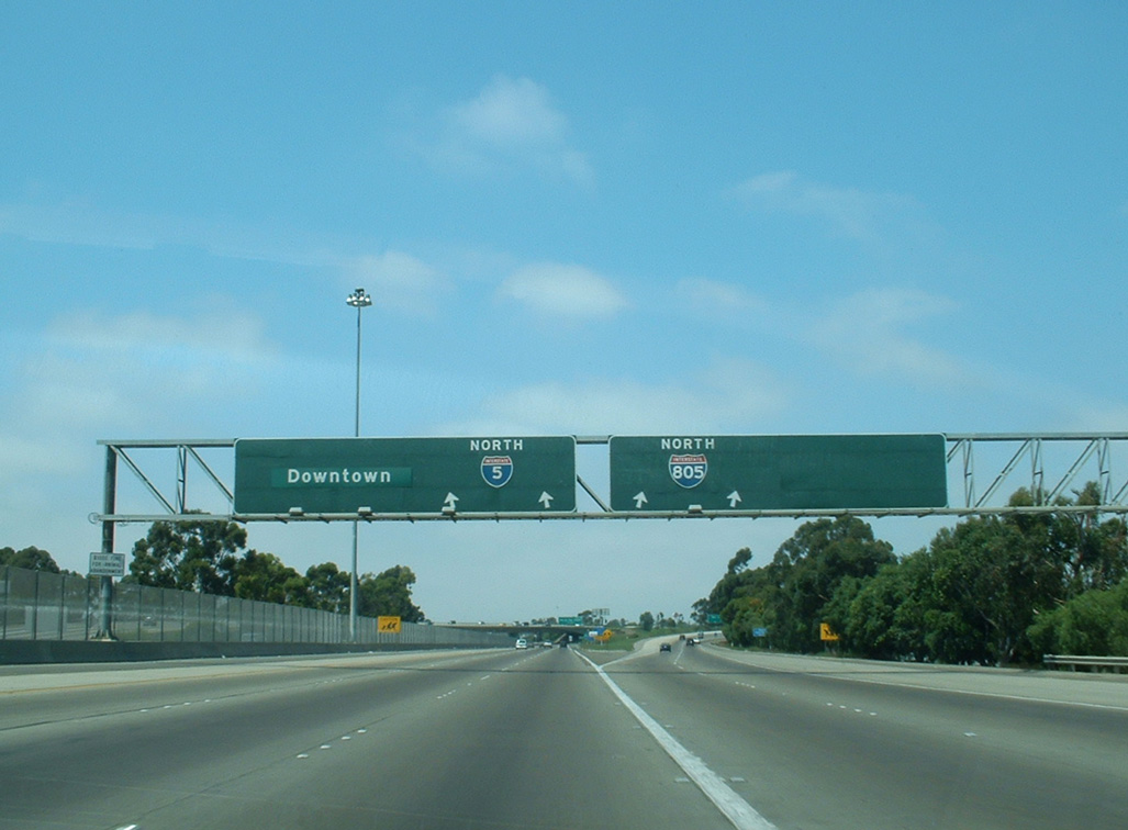
These button copy guide signs at Camino de la Plaza were replaced in kind with reflective overheads. Newer assemblies for I-805 reference Chula Vista as the control city for the Jacob Dekema Freeway. 09/01/03
References
- I-5/I-805 Widening Project. Caltrans, fact sheet. January 2006.