
Interstate 759 Alabama
Overview
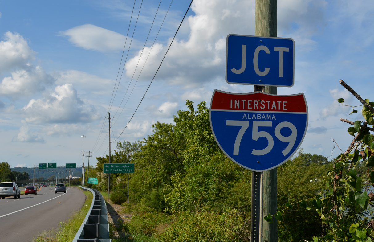
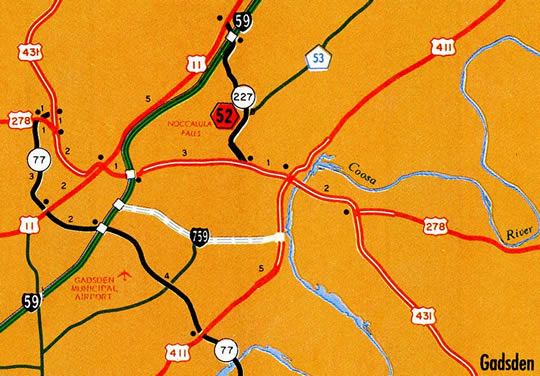
Interstate 759 branches east from I-59 across the city of Gadsden to U.S. 411 (Rainbow Drive) south of Downtown. The four lane freeway connects with Black Creek Parkway south to Rainbow City and crosses Lake Black Creek on a causeway linking with U.S. 411 and State Route 759 east. SR 759 extends from the end of I-759 across the Coosa River to SR 291 (George Wallace Drive).
Mileage by State
| Alabama | 4.50 mi |
Data Sources
December 31, 2021 Interstate Route Log and Finders List
I-759 Extension
Plans for potential extensions of Interstate 759 date back to 1985. Creating a bypass route for U.S. 431, proposals discussed taking I-759 westward to U.S. 431 in Attalla and northeastward to U.S. 278/431 on the east side of Gadsden.
An Environmental Impact Statement (EIS) was submitted for the eastern extension by July 2006, and an article published in The Gadsden Times on November 14, 2010, indicated that the Federal Highway Administration (FHWA) suggested a parkway style design eastward to an elevated roadway at Meighan Boulevard (U.S. 431).1 This differed from previous proposals for an elevated viaduct along the entire extension.2
A study addressing traffic needs in Etowah County presented on November 16, 2015 recommended four short term improvements over a 20 year period. Of those, an updated study for the I-759 extension was included.3
The Alabama Department of Transportation (ALDOT) agreed to fast track construction of the Alabama State Route 759 extension east from I-759 to the split of U.S. 278 and U.S. 431 (Meighan Boulevard) on April 3, 2017. The new road was designed as a controlled access arterial, with an at-grade intersection at George Wallace Drive and right in right out (RIRO) connections elsewhere. Work was anticipated to take two to three years to complete.4
The FHWA rescinded the Notice of Intent (NOI) for the I-759 Extension - Federal-aid project HPP-1602(539) in August 2018. The NOI was published in the Federal Register on October 4, 2004. However due to numerous impacts to historic resources identified in environmental studies and opposition, the FHWA determined the project be rescinded.5
The I-759 connector received $65 million in funding from ALDOT on May 4, 2022. Right of way acquisition commences in October 2022, followed by utilities relocation. Construction contracts for the four lane boulevard are anticipated for letting in early 2024.8
History
Interstate 759 was one of three routes submitted for the statewide proposed urban Interstate numerology by the Alabama State Highway Department to the American Association of State Highway Officials (AASHO). Previously numbered in plans as Route C59, as the spur into Tuscaloosa was Route A59 and the loop around Birmingham was Route B59, I-359, I-459 and I-759 were all approved by AASHO on November 10, 1958.
Work on a $41 million project to construct the Gadsden Spur commenced in April 1982. Opening of the freeway took place on October 22, 1986. This included the two lane connector (SR 759) northeast from U.S. 411 to SR 291 (George Wallace Drive).6 A second span was built across the Coosa River along I-759/SR 759 between August 2002 and Summer 2004 at a cost of $8.4 million.7
East End 
 ‐ Gadsden, AL
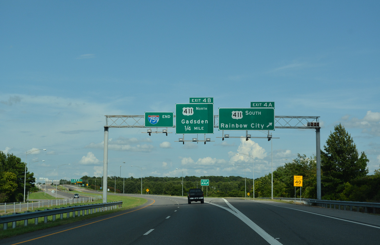
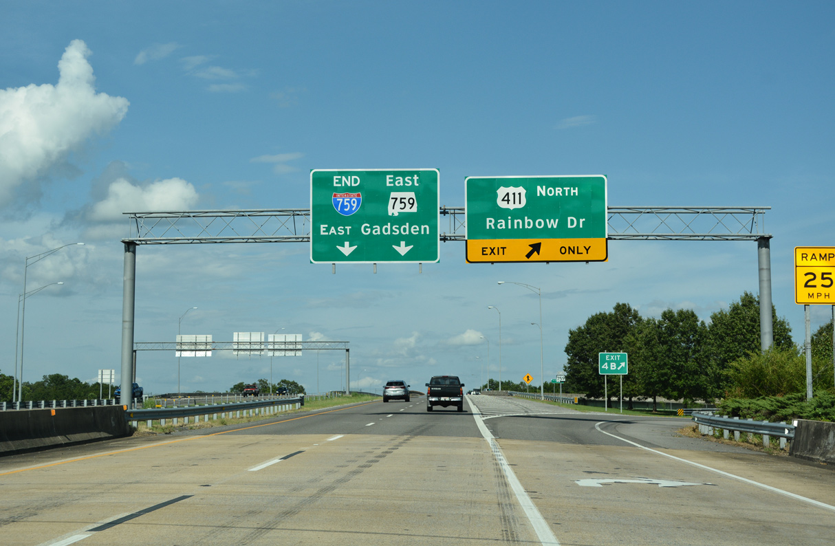
 East at
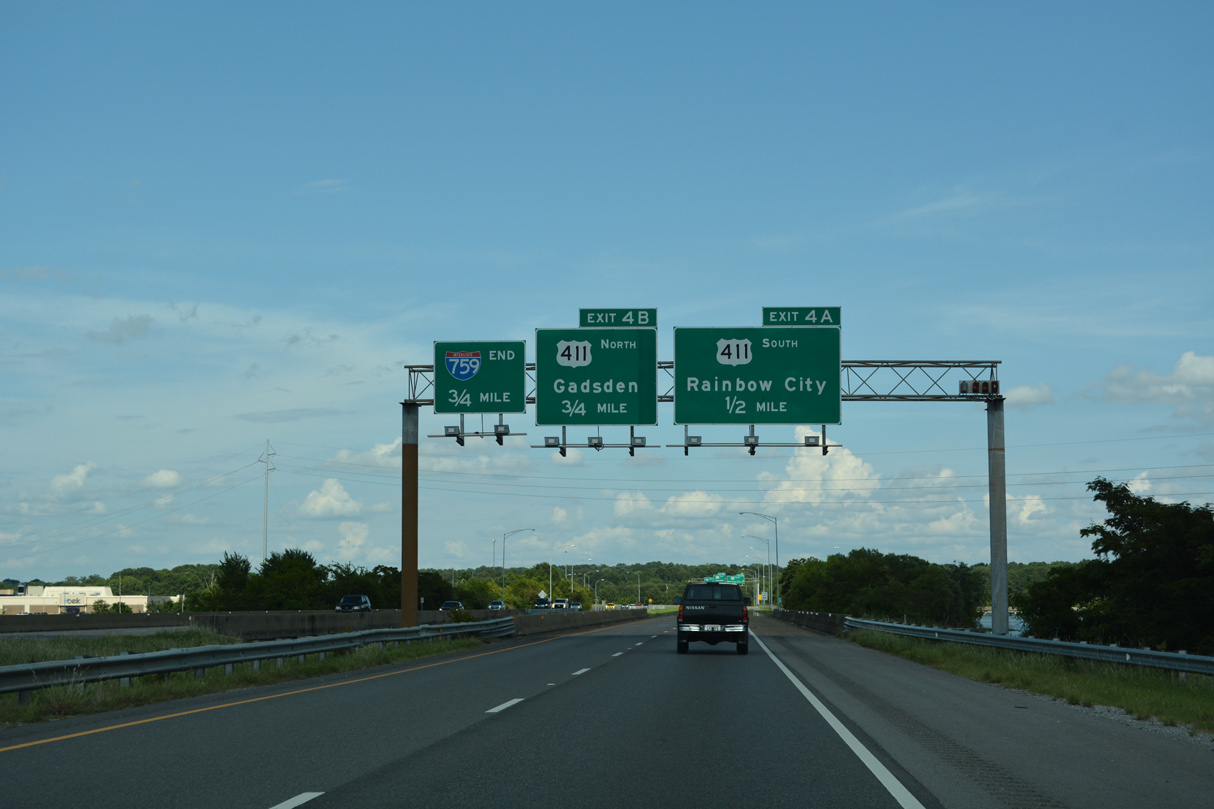
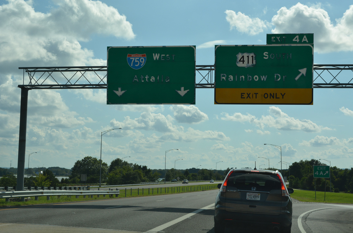
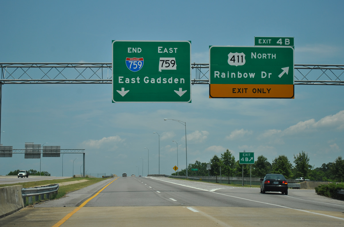
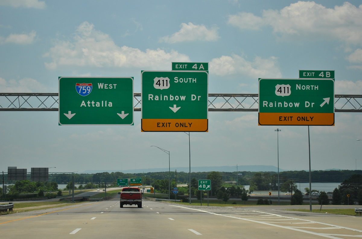
Midway across H. Neely Henry Lake, Interstate 759 advances a half mile to the six-ramp parclo interchange (Exits 4 A/B) with U.S. 411 (Rainbow Drive). 07/26/22
West at
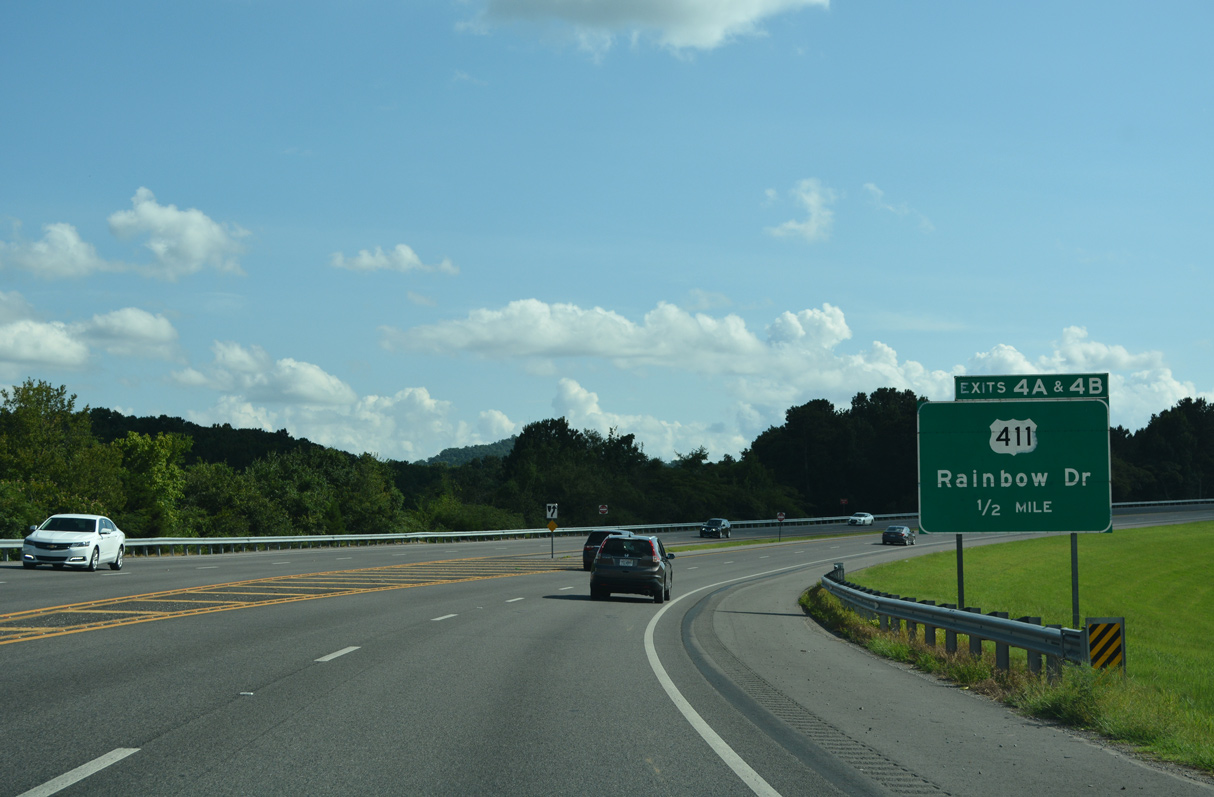
SR 759 stems south from an at-grade intersection with SR 291 (George Wallace Drive) initially with two lanes. The roadway quickly expands into a four lane freeway ahead of the Coosa River and Exit 4 to U.S. 411 (Rainbow Drive). 07/26/22
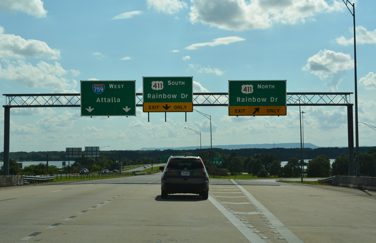

South at
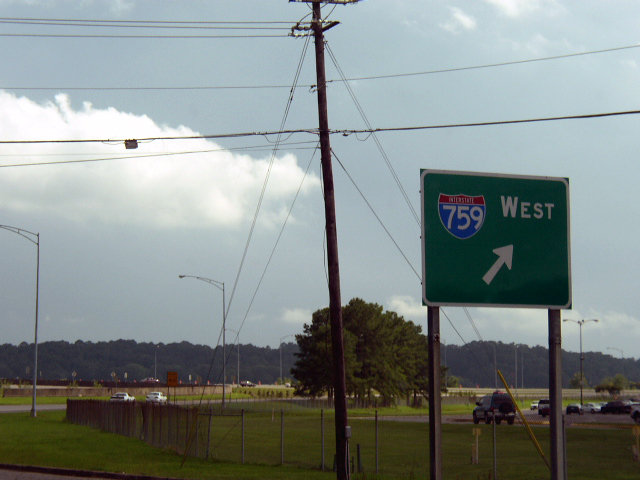
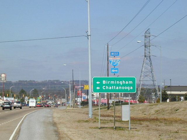
U.S. 411 shifts onto Rainbow Drive through a commercial strip anchored by Gadsden Mall ahead of the westbound entrance ramp to Interstate 759. Photo by Chris Patriarca (06/19/03).
North at
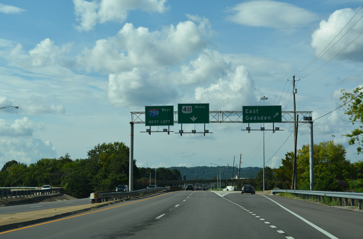
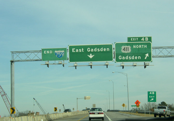
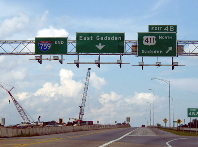
Signs for the eastbound entrance ramp from U.S. 411 (Rainbow Drive) to SR 759 for East Gadsden omit the state route. 07/26/22
East End – Past Views
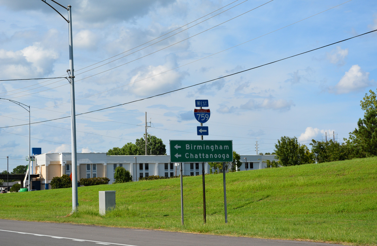
Past Views Gallery (Tap to Expand / Collapse Section)
East at
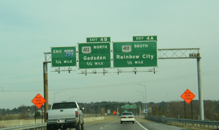
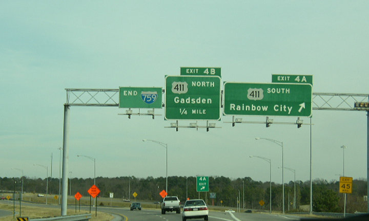
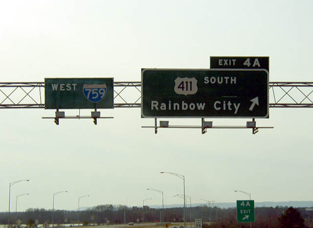
Button copy signs posted one half mile out from Exit 4 A to U.S. 411 south. Photo by Chris Patriarca (03/21/03).
West at
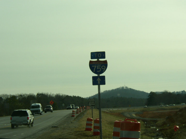
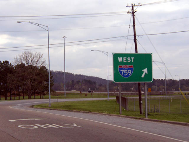
An Interstate 759 trailblazer was posted at the beginning of SR 759 west. Photo by Chris Patriarca (01/11/03).
at
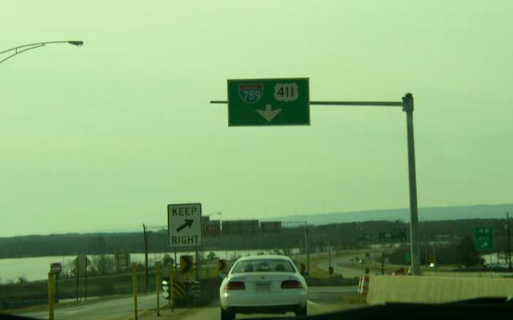
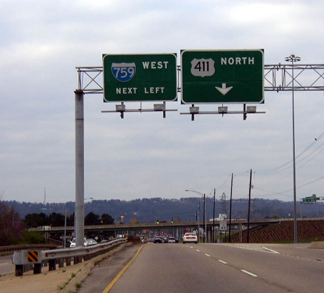
This button copy sign for I-759 south on U.S. 411 was replaced by June 2003. Photo by Chris Patriarca (03/21/03).
West End  ‐ Attalla, AL
West at
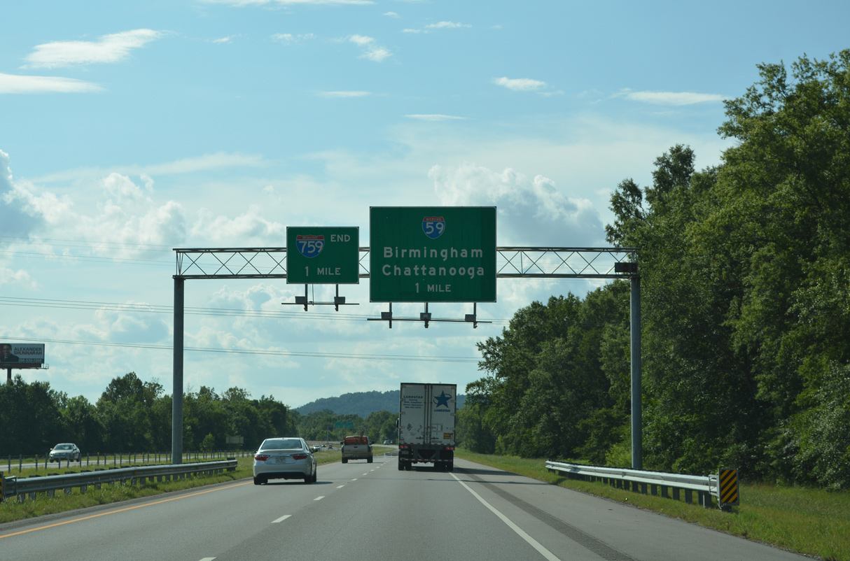
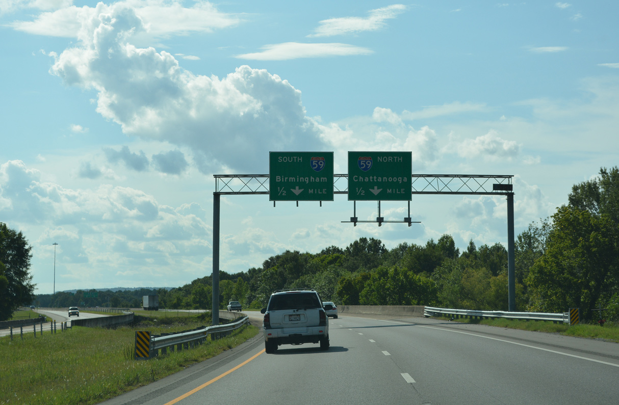
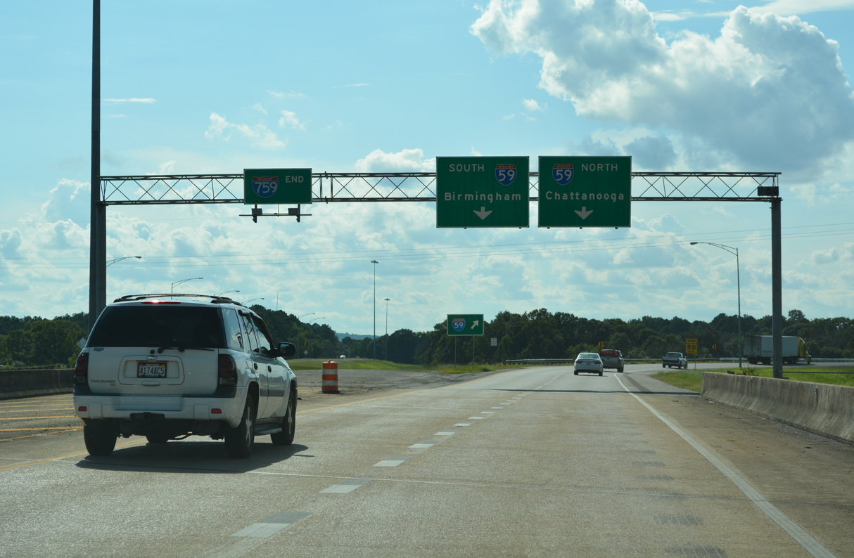
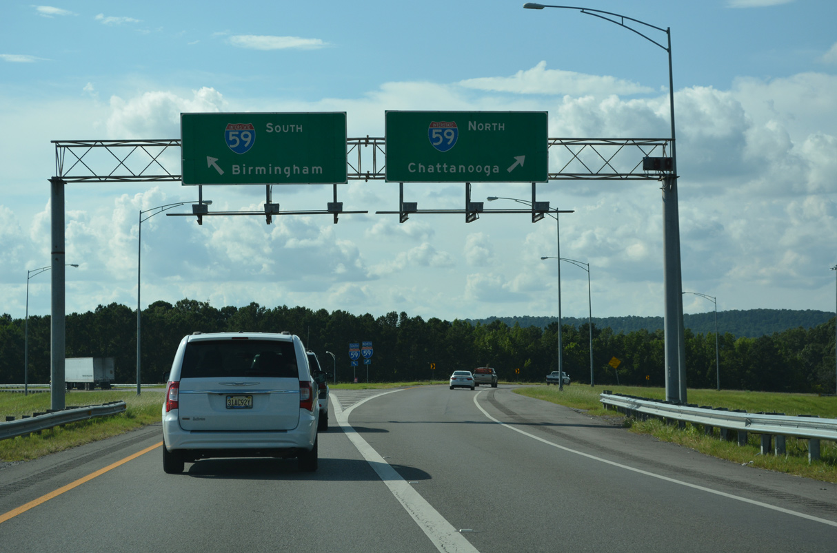
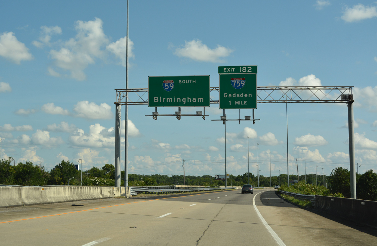
Red Mountain appears on the horizon one mile ahead of the modified trumpet interchange joining Interstate 759 with I-59. 07/26/22
North at
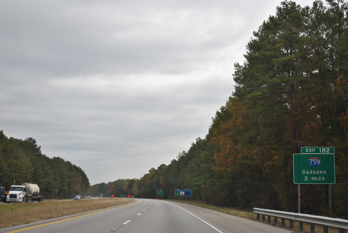
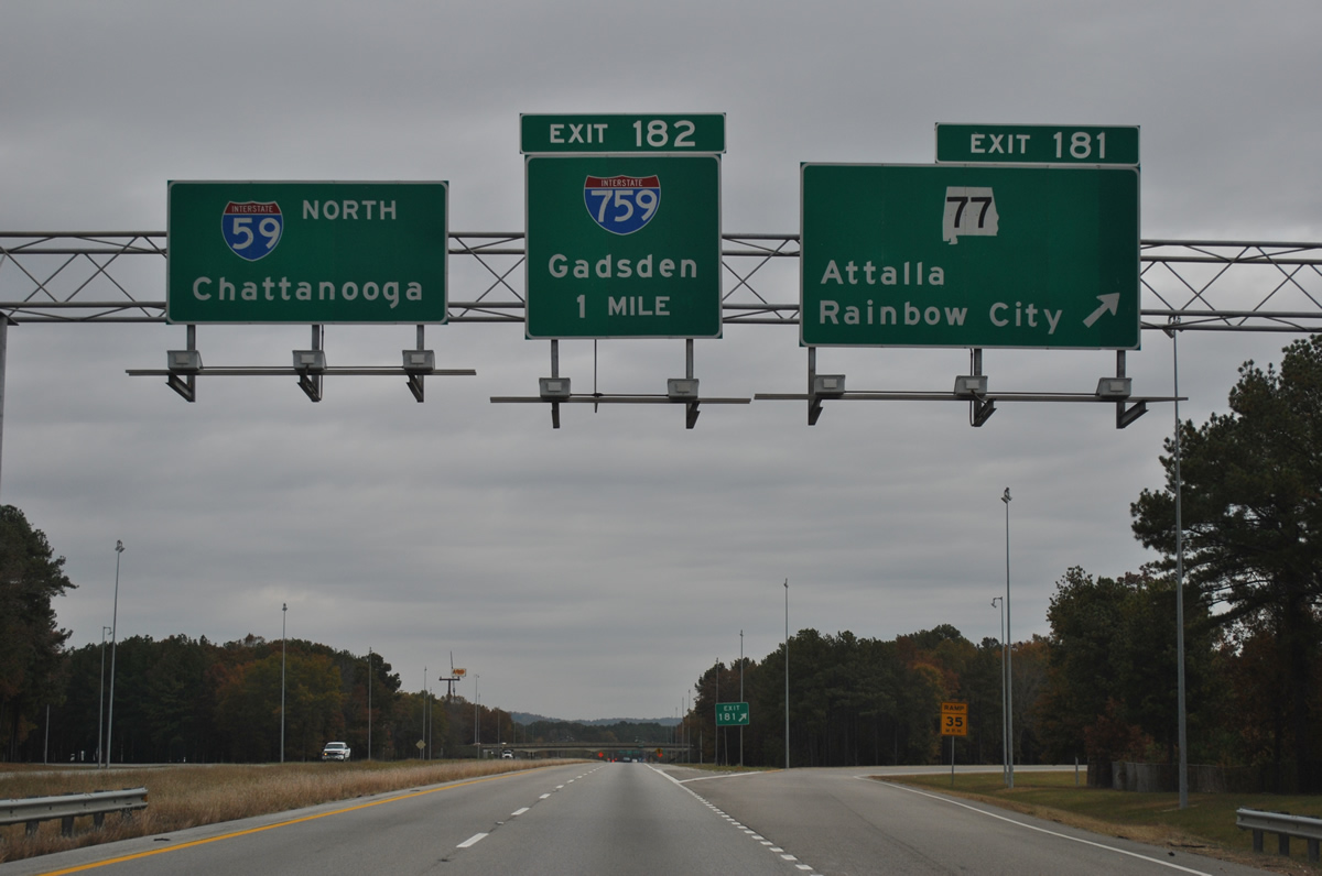
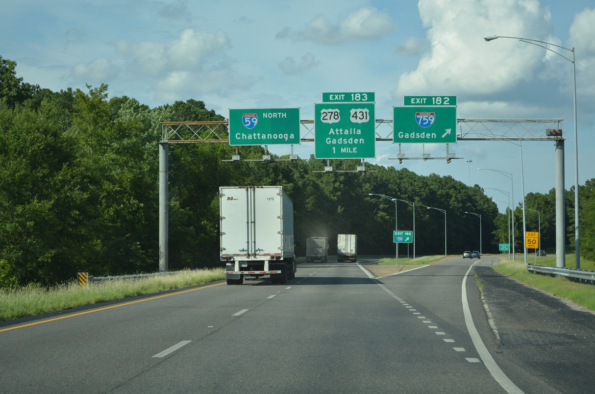
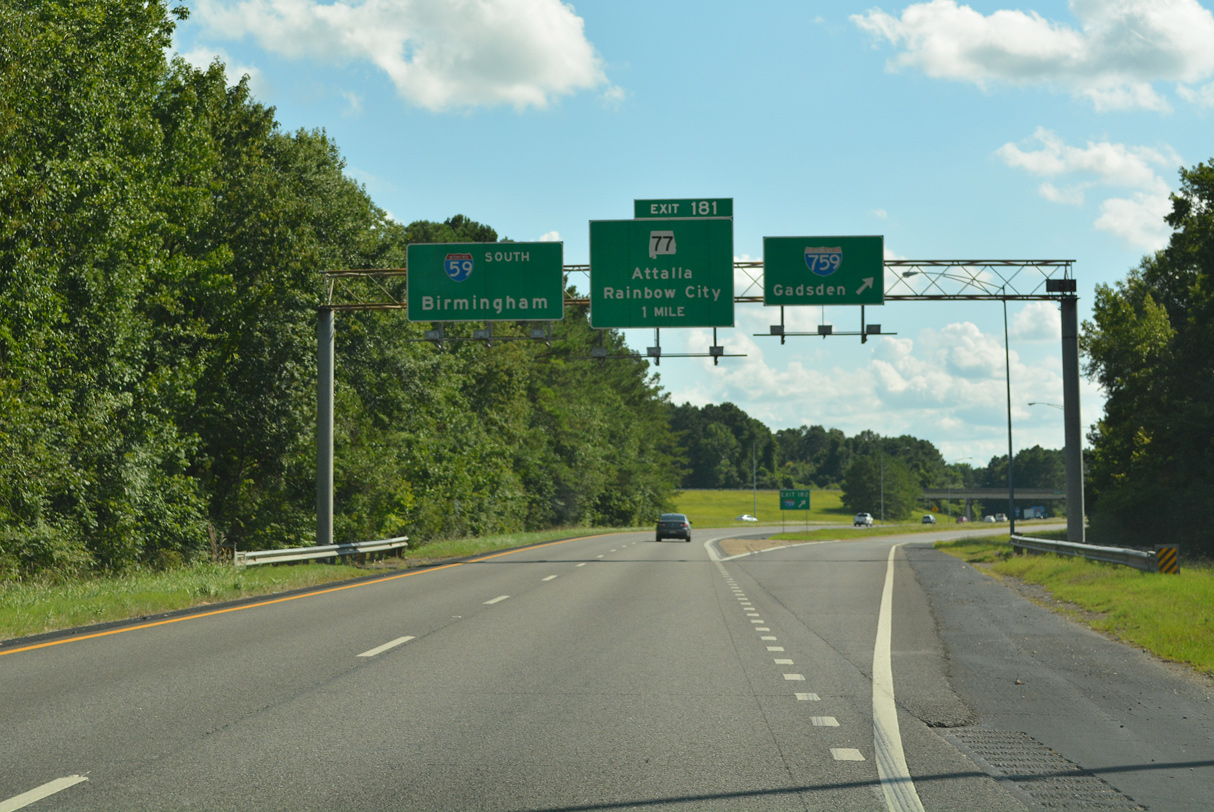
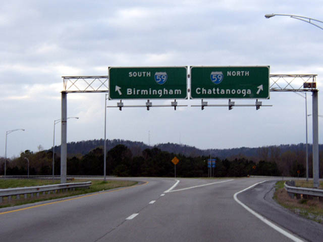
Interstate 59 travels seven miles northeast uninterrupted through Canoe Creek Valley. Succeeding interchanges connect the freeway with SR 77 to Attala and Rainbow City and I-759 (Gadsden Spur) east. 11/03/11
South at
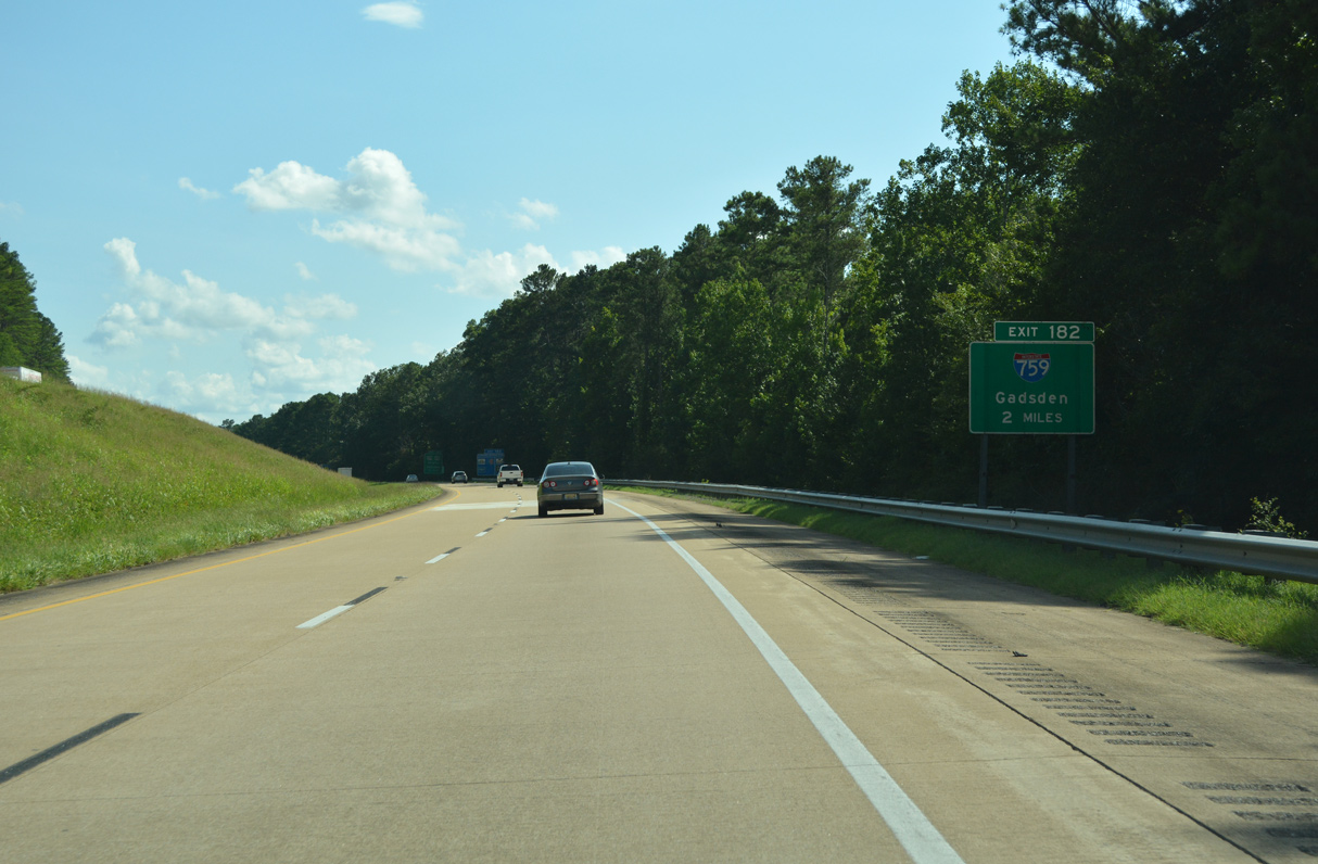
Interstate 59 straddles the southwestern slope of Lookout Mountain and proceeds across the city of Attalla to I-759. 07/26/22
West End – Past Views
Past Views Gallery (Tap to Expand / Collapse Section)
West at
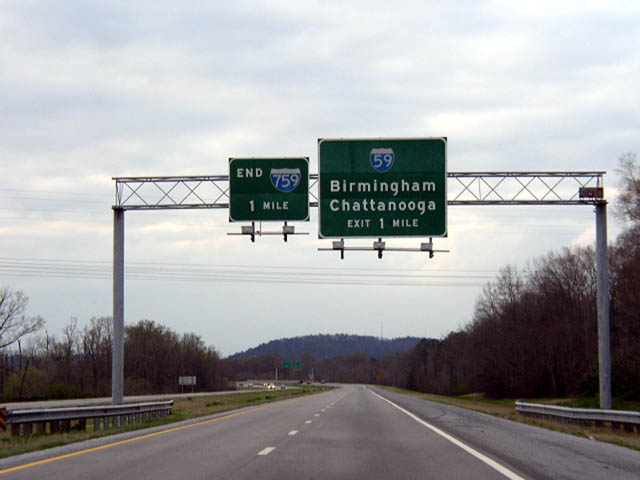
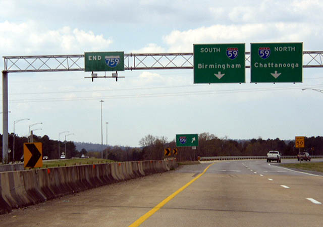
All button copy guide signs along Interstate 759 westbound were replaced in June 2003. Photo by Chris Patriarca (03/21/03).
References
- "I-759 extension may have changes." The Gadsden Times (AL), November 14, 2010.
- "I-759 back on drawing board." The Gadsden Times (AL), June 12, 1993.
- "ALDOT official: I-759 extension needed." The Gadsden Times (AL), November 16, 2015.
- "Interstate 759 extension through East Gadsden on ALDOT's fast track." The Gadsden Times (AL), April 3, 2017.
- Federal Highway Administration (FHWA). (2018, August 29). Rescinding the Notice of Intent for an Environmental Impact Statement; Gadsden, Etowah County, Alabama. Federal Register. Retrieved from https://www.federalregister.gov/documents/2018/08/29/2018-18669/rescinding-the-notice-of-intent-for-an-environmental-impact-statement-gadsden-etowah-county-alabama
- "I-759 opens Wednesday." The Gadsden Times (AL), October 20, 1986.
- "I-759 bridge closer to completion." The Gadsden Times (AL), January 25, 2004.
- Thornton, W. (2022, May 4). Etowah County getting $120 million in highway projects, including I-759 connector. AL.com. Retrieved from https://www.al.com/business/2022/05/etowah-county-getting-120-million-in-highway-projects-including-i-759-connector.html