Interstate 610 Louisiana
Overview
Interstate 610 constitutes a crosstown route for through traffic along I-10 in central New Orleans. The six lane freeway extends east from I-10 between the Lakeview and Navarre neighborhoods. Passing through City Park, I-610 continues by the the Fairgrounds and Dillard University to converge with I-10 by the Gentilly Terrace neighborhood.
Mileage by State
| Louisiana | 5.06 mi |
Data Sources
December 31, 2025 Interstate Route Log and Finders List
History
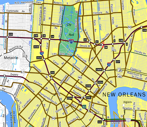
Interstate 610 was part of the urban Interstate numerology submitted to the American Association of State Highway Officials (AASHO) by the Louisiana Department of Highways on July 25, 1958. AASHO however questioned the placement of I-10 and I-610 in New Orleans in a letter dated August 29, 1958:
This office agrees with your submission except that we question, as does the local office of the Bureau of Public Roads, whether or not your proposals 10 and 610 should not be reversed in the city of New Orleans.
The route carrying the major traffic stream should be allotted the two digit number and I am sure that you have considered this matter. However, Route 10 seems to be rather circuitous.
Nonetheless, this was eventually approved as part of the statewide numbering plan by AASHO on November 10, 1958.
Interstate 610 was constructed between I-10 and Canal Boulevard along with the Pontchartrain Expressway (I-10 from the 17th Street Canal southeast to Downtown New Orleans) in the early 1960s. Ensuing work was delayed because of a lawsuit involving construction of the highway through public parkland. The freeway was ultimately built from Canal Boulevard to I-10 at Franklin Avenue between 1972 and 1975 (AARoads, Wiki, 2026).
Completed on June 10, 2000, a $26.9 million project expanded the western interchange joining I-10/610 at Lakewood in New Orleans. With plans originating in the 1970s, work commenced in January 1998. I-10 was expanded to three eastbound lanes through the split with I-610, and to four eastbound lanes from West End Boulevard southward to Downtown (The Times-Picayune, 2000).
East End  ‐ Gentilly Terrace, New Orleans, LA
 East at
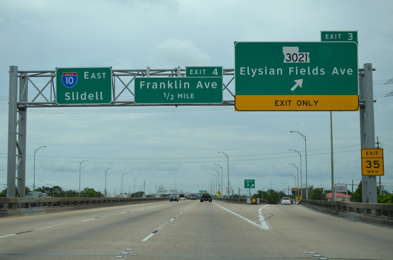
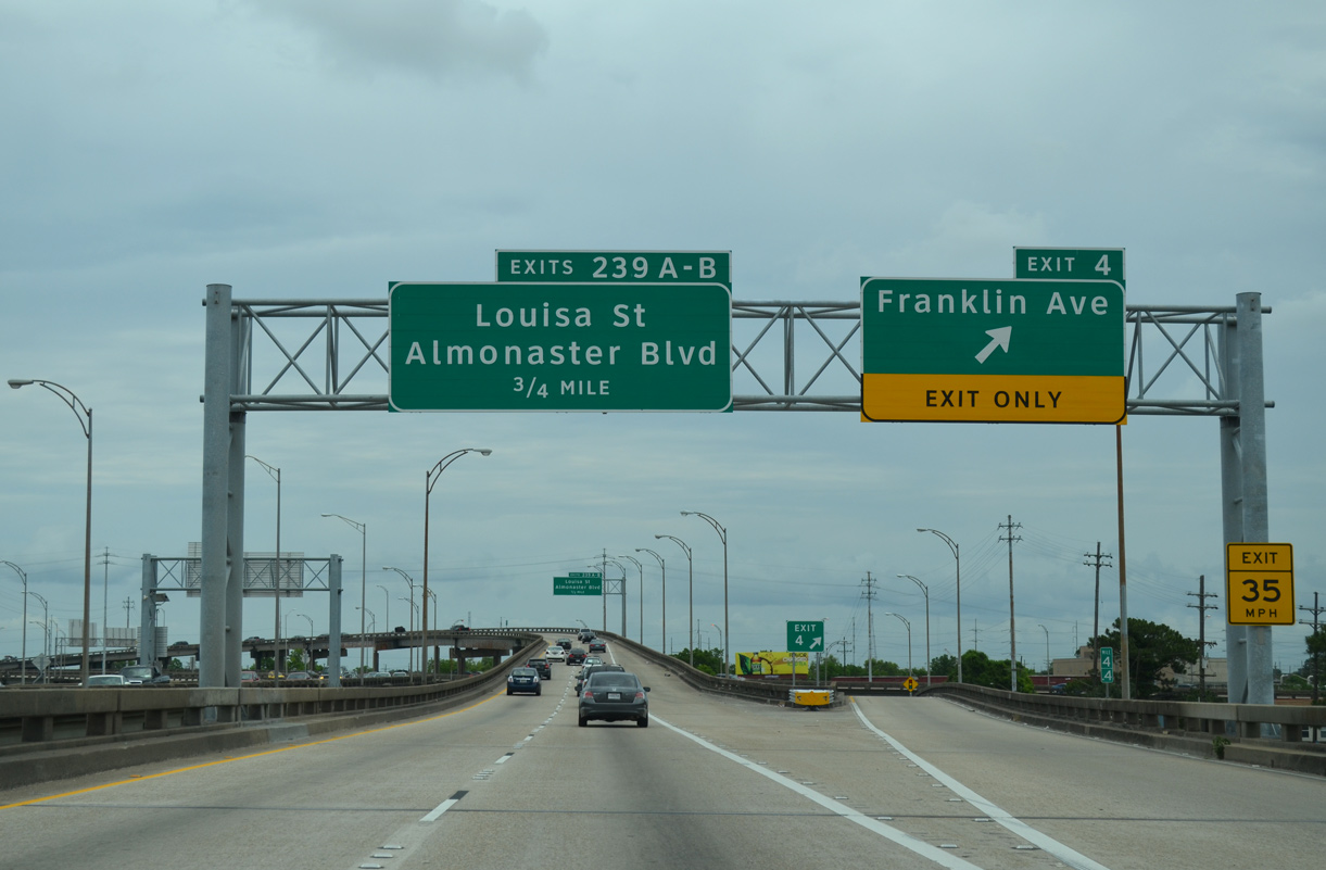
I-610 runs along a viaduct system from between the St. Roch and Gentilly Terrace communities east to the wye interchange with I-10. Exit 3 joins the freeway with Elysian Fields Avenue, LA 3121 north to U.S. 90 (Gentilly Boulevard) and south to Claiborne Avenue (LA 39). 05/09/15
West at
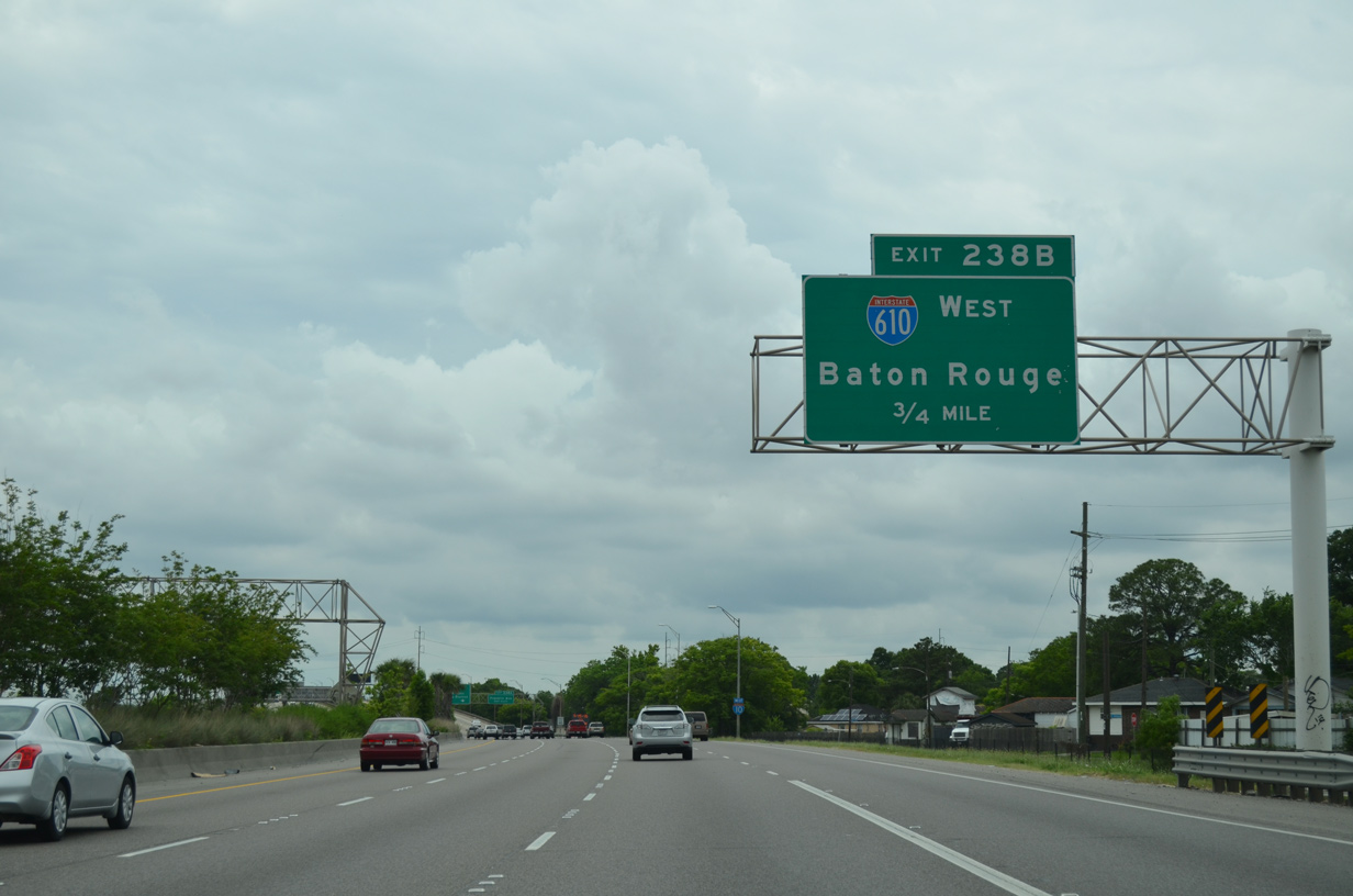
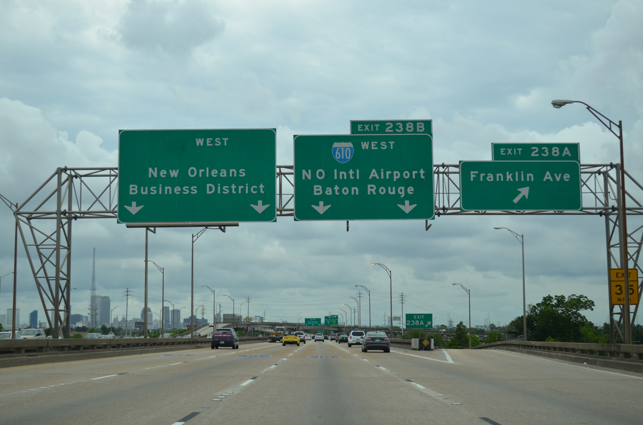
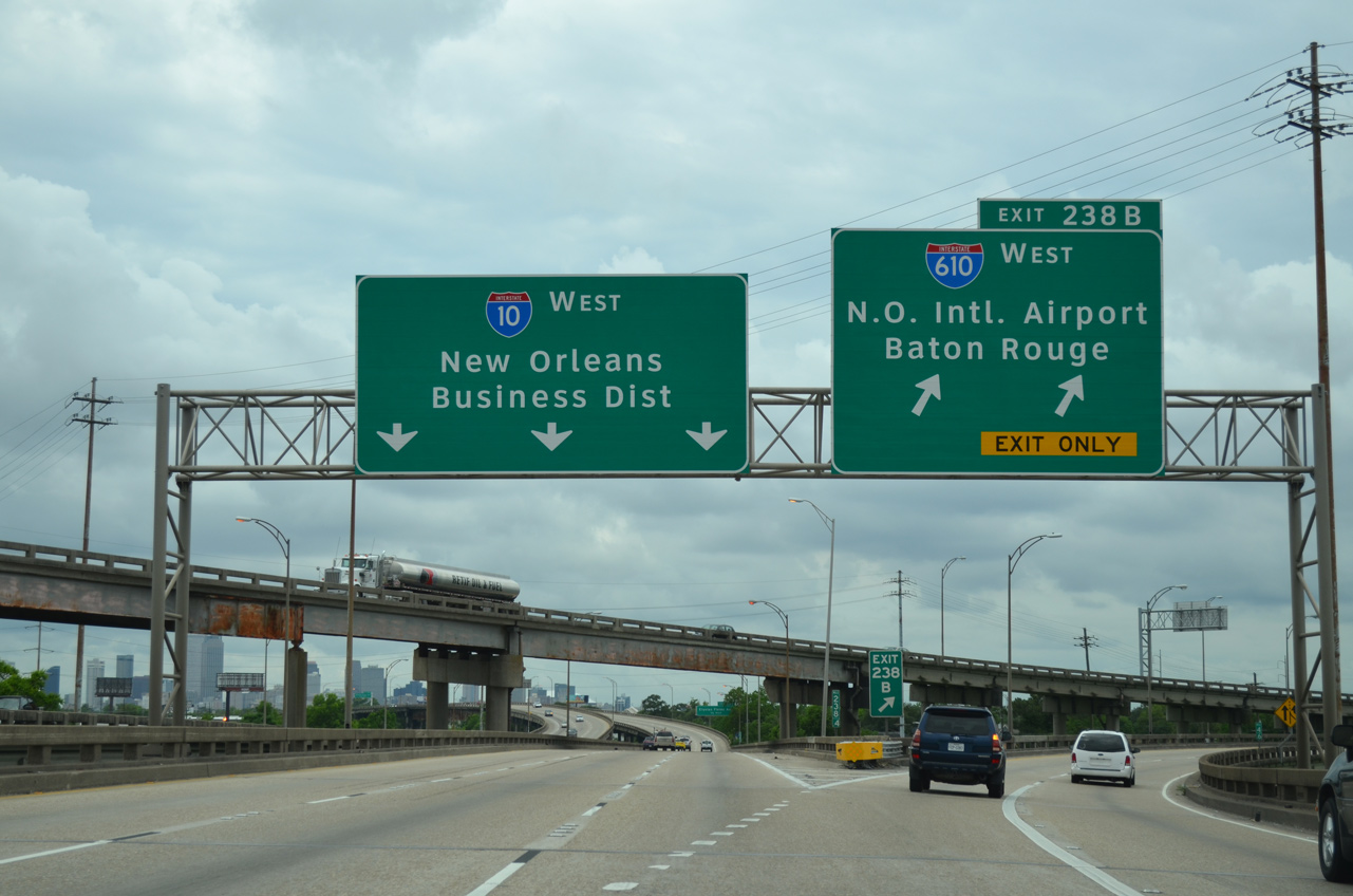
I-10 curves southward from Gentilly Woods onto a viaduct leading to the wye interchange (Exit 238B) with Interstate 610 west. 05/09/15
East at
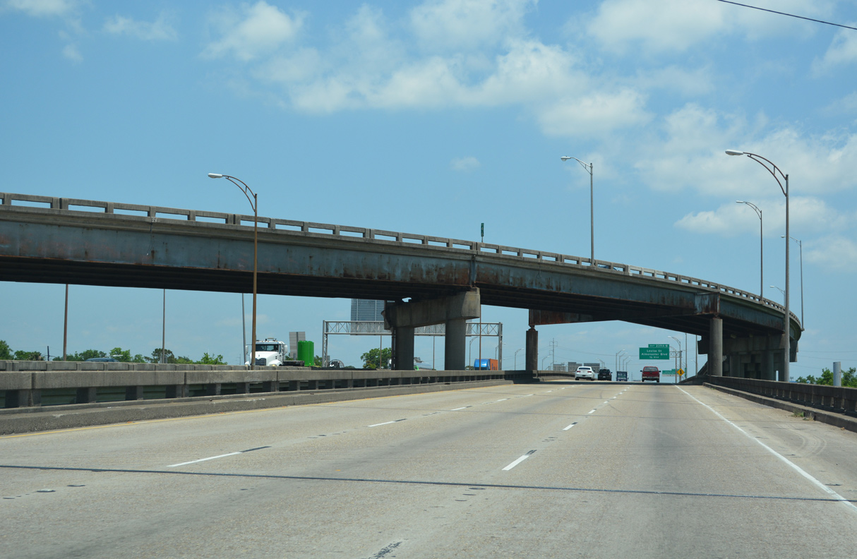
A wye interchange joins the east end of I-610 with Interstate 10 above Franklin Avenue at the St. Roch neighborhood in New Orleans. 05/11/22
East End – Past Views
Past Views Gallery (Tap to Expand / Collapse Section)
East at
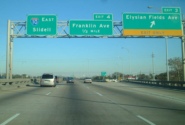
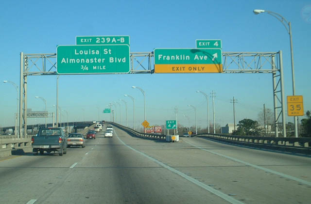
Previous guide signs along I-610 east at Elysian Fields Avenue. 12/28/02
West End ‐ West End Boulevard – Lakeview, New Orleans, LA
West at
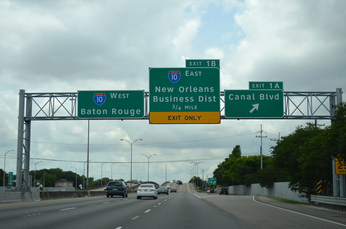
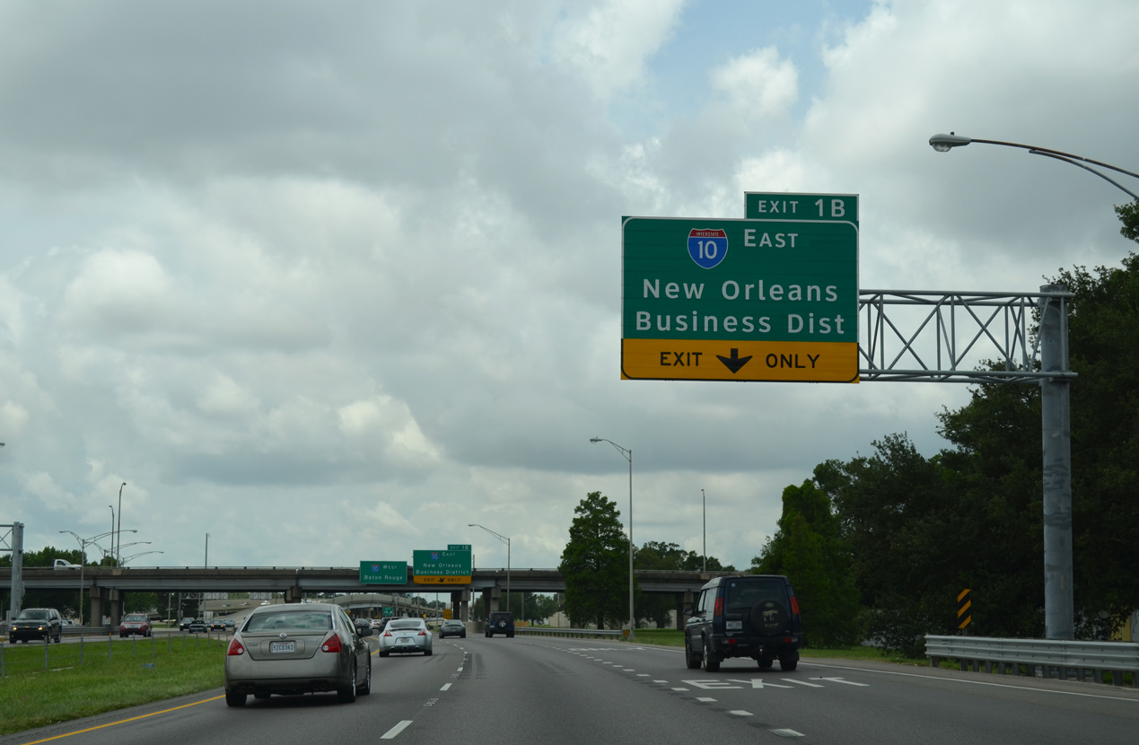
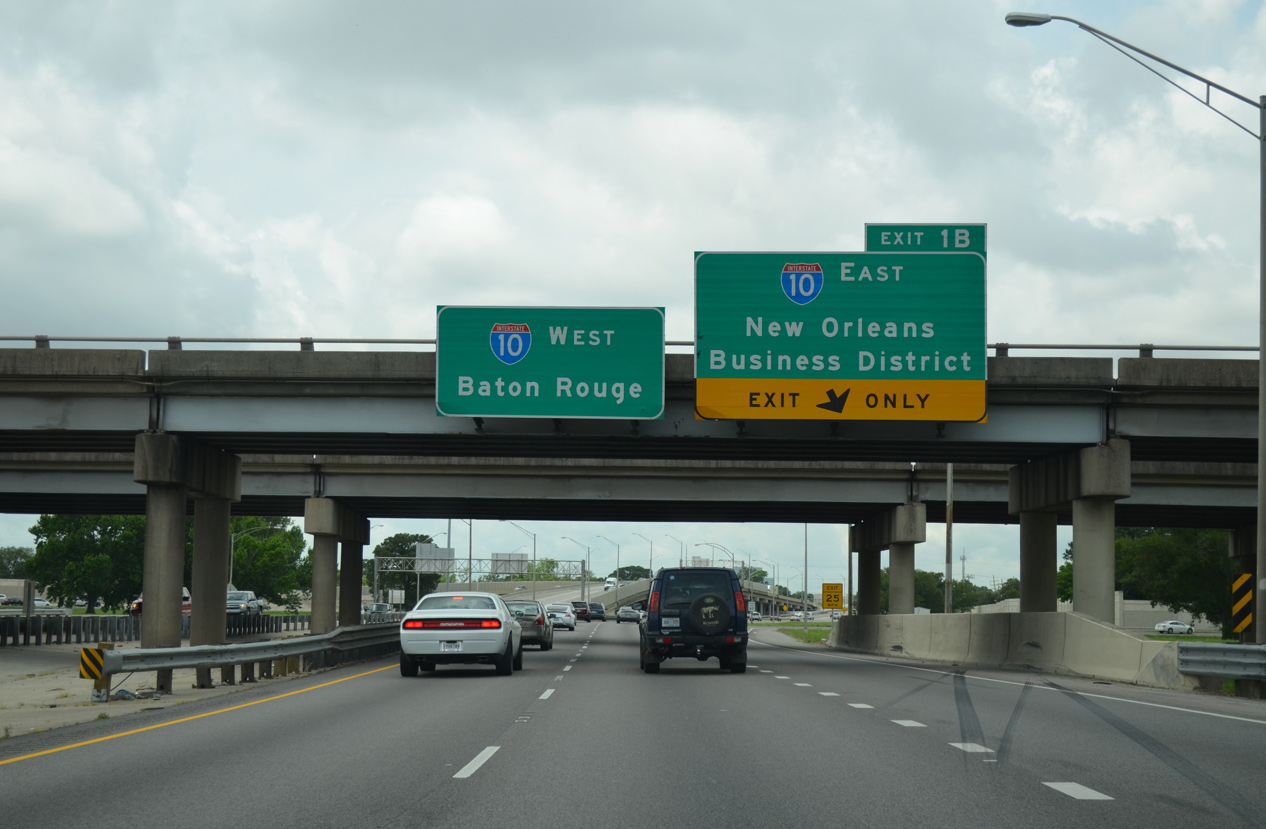
Exit 1A departs I-610 west for Canal Boulevard to the Lakeview and Navarre neighborhoods. A three quarter cloverleaf interchange (Exit 1B) follows with Pontchartrain Boulevard south to I-10 east. 05/09/15
East at
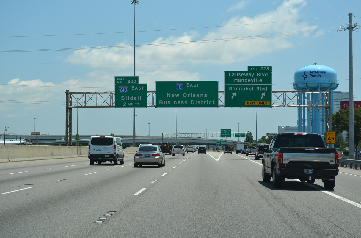
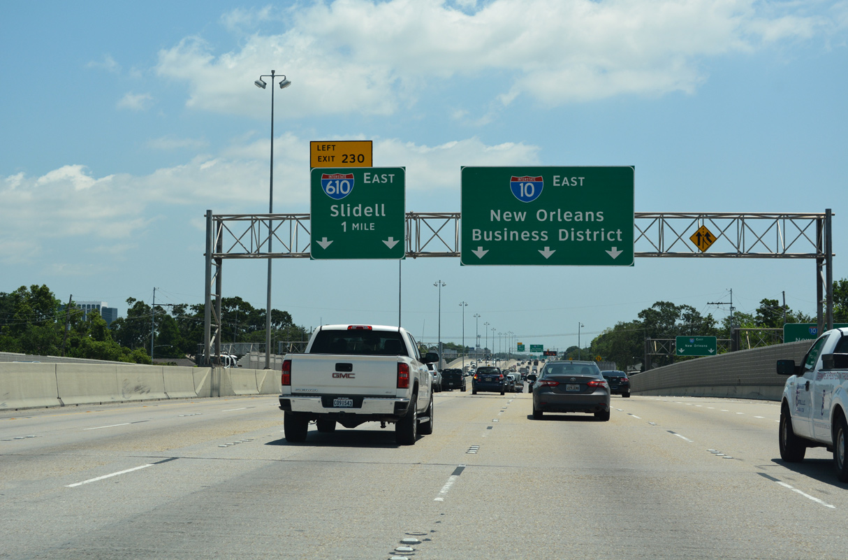
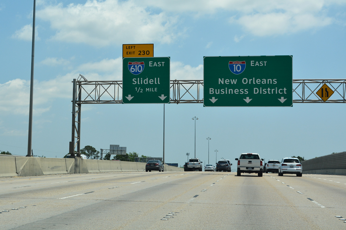
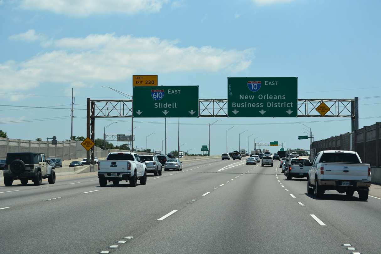
The first guide sign for I-610 appears at the collector distributor roadway (Exit 228) for Causeway and Bonnabel Boulevards. A $100 million project between April 2009 and Summer 2012 upgraded the cloverleaf interchange here. 05/11/22
West End – Past Views
Past Views Gallery (Tap to Expand / Collapse Section)
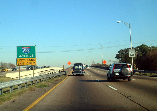
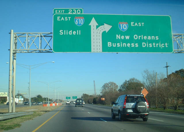
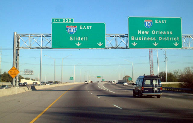
East at
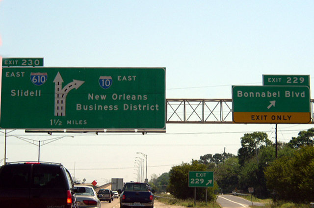
The previous lane configuration for I-10 east at I-610 through Metairie. Photo by Chris Patriarca (05/13/03).