
Interstate 580 California
Overview
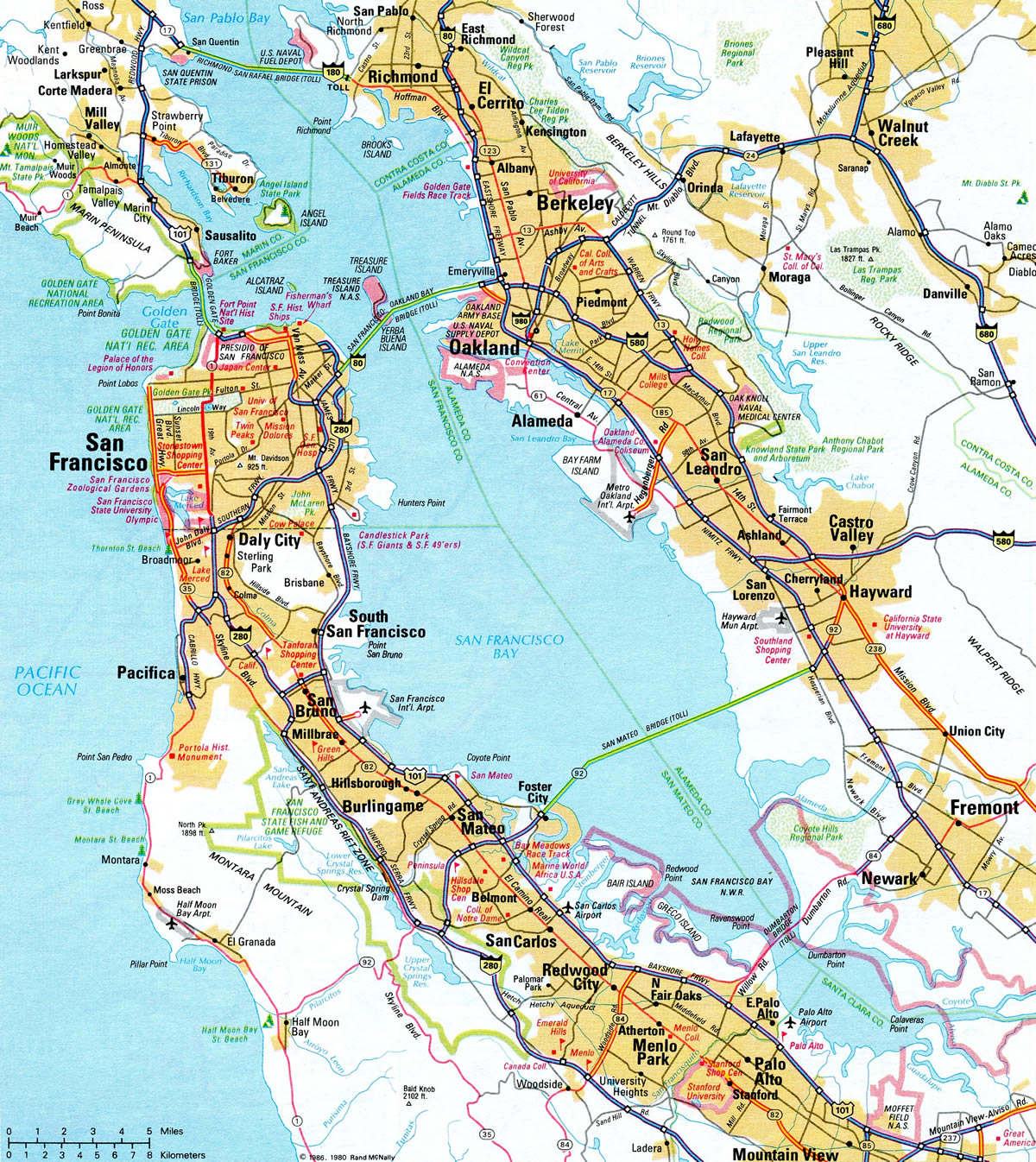
Interstate 580 provides the main link for regional traffic between the San Francisco Bay Area and Southern California along Interstate 5. Generally traveling from west to east, Interstate 580 overlays several different roadways in the San Francisco Bay Area. The main sections of I-580 include:
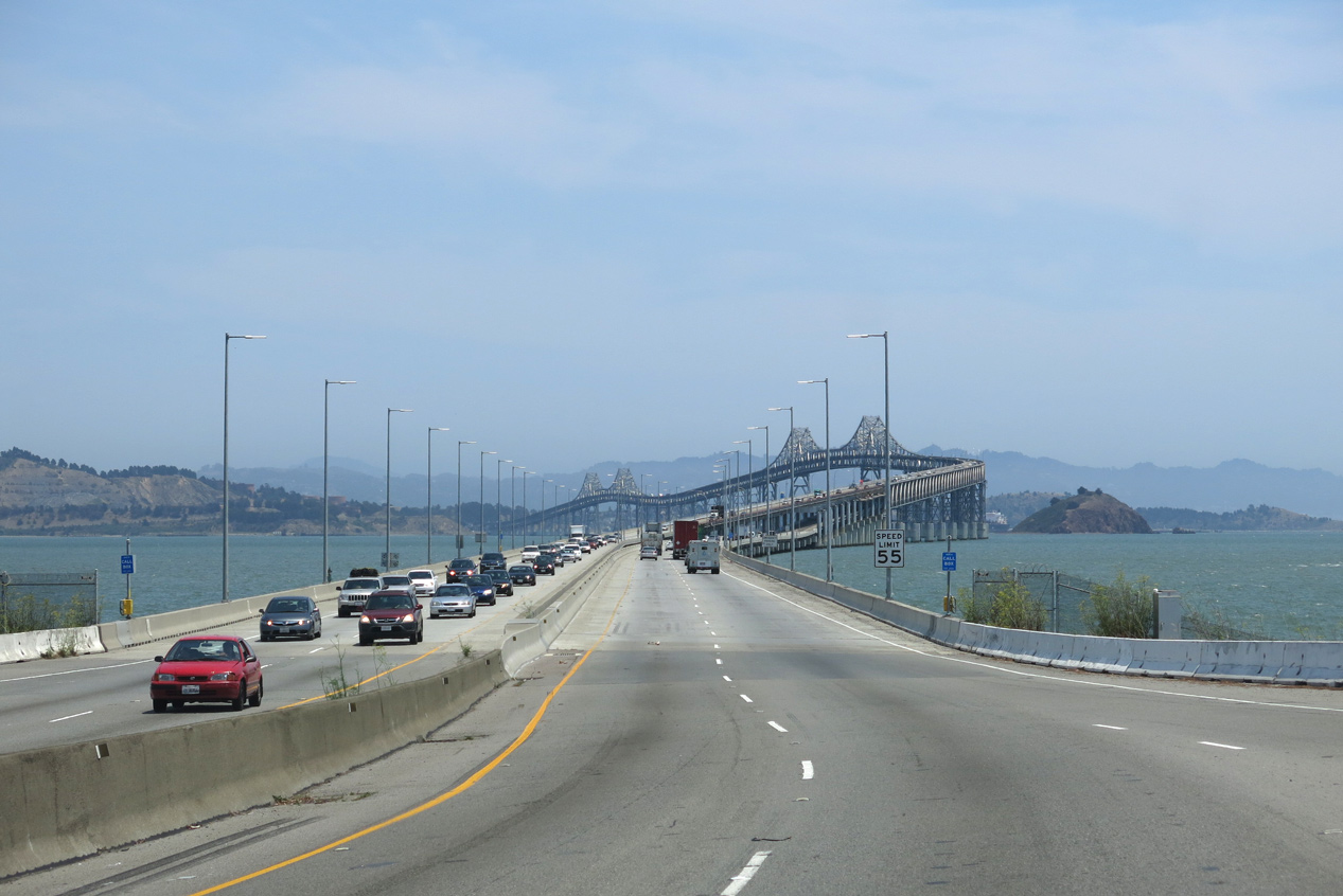
- Richmond-San Rafael Bridge - the tolled northern crossing over the San Francisco and San Pablo Bay waterways
- John T. Knox Freeway - extending east from the Richmond-San Rafael Bridge and Point Richmond along industrial areas along the Richmond Inner Harbor to Interstate 80.
- Eastshore Freeway, - combines with Interstate 80 south from Albany to Berkeley and the Maze Interchange with I-880 and the San Francisco-Oakland Bay Bridge eastern approach in Oakland.
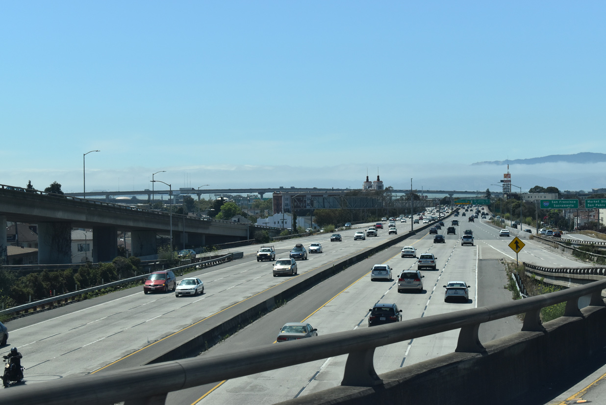
- MacArthur Freeway, - follows Historic U.S. 50 southeast from Oakland to Hayward.
- Arthur Breed Freeway, - continues along Historic U.S. 50 and goes east toward Dublin, Livermore, and the Central Valley, including the Altamont Pass and its windmills.
- William Elton Brown Freeway - branches southeast from Interstate 205 and bypasses Tracy along a rural, four lane stretch to I-5.
Mileage by State
| California | 76.13 mi |
Data Sources
December 31, 2025 Interstate Route Log and Finders List
History
Several sections of Interstate 580 were constructed prior to the Federal Highway Act of 1956, including the Livermore bypass and Altamont Pass freeway. Both segments opened as part of U.S. 50 prior to 1956.1 The Richmond-San Rafael Bridge over San Pablo Bay was completed in 1976 and designated California State Route 17.
When the Interstate Highway System was established, the I-580 corridor was incorporated in the longer Interstate 5W loop. I-5W was proposed to run northwest from near Tracy to Oakland, and then northeast along I-80 to Vacaville, where it would branch north to Dunnigan. The suffixed route was briefly posted along side Interstate 80 through Berkeley, but decommissioned in favor of I-505 and I-580 in 1964.
When it was designated, Interstate 580 consisted of the route west from the Central Valley to Livermore Valley and Dublin, through Dublin Canyon into Castro Valley, and north along the MacArthur Freeway to Oakland. A portion of this route west from I-205 overlaid old U.S. 50, and U.S. 48 before that.
This changed in 1984, when Interstate 580 was extended northwest as a result of California State Assembly Bill 2741. The legislation made a number of changes to the state highway system, including replacing State Route 17 west from Richmond to San Rafael as an extension of I-580, renumbering SR 17 (Nimitz Freeway) south from Oakland to San Jose as the new route for I-880, and creating both I-238 and I-980.
Despite this renumbering, the section of Interstate 580 between I-80 and the Richmond-San Rafael Bridge was incomplete and still under construction. Temporary I-580 signage was placed along the substandard segment of former SR 17, which turned west from I-80 along the Richmond Inner Harbor toward Point Richmond. Upgrades to this segment were completed by the early 1990s.
Interstate 180
The American Association of State Highway and Transportation Officials (AASHTO) approved the establishment of Interstate 180 between U.S. 101 in San Rafael and I-80 in Albany on June 29, 1978. Due to the numbering conflict with California State Route 180 in Fresno and across the Central Valley, I-180 was dropped. The redesignation of I-180 as I-580 was approved by AASHTO on June 20, 1983. The Richmond-San Rafael Bridge was signed as Interstate 580 in 1985.
East End  ‐ Vernalis, CA
North at 
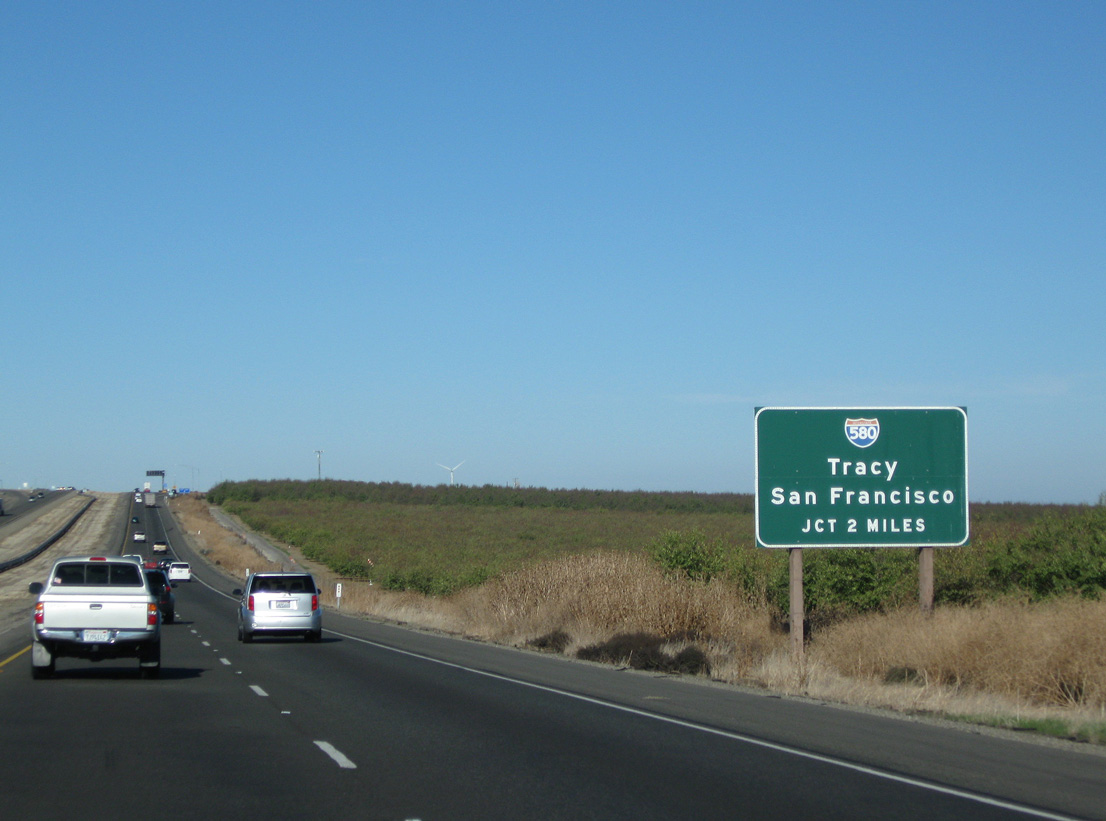
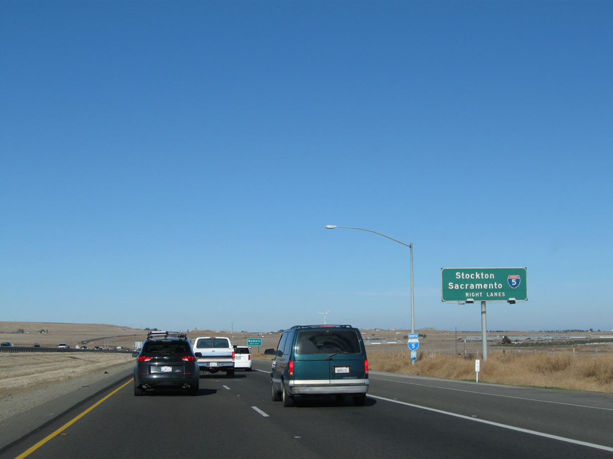
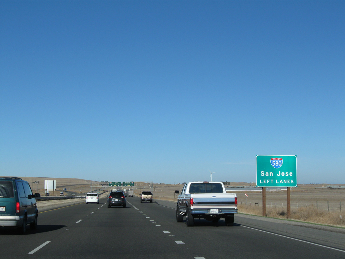
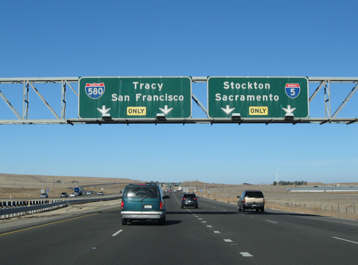
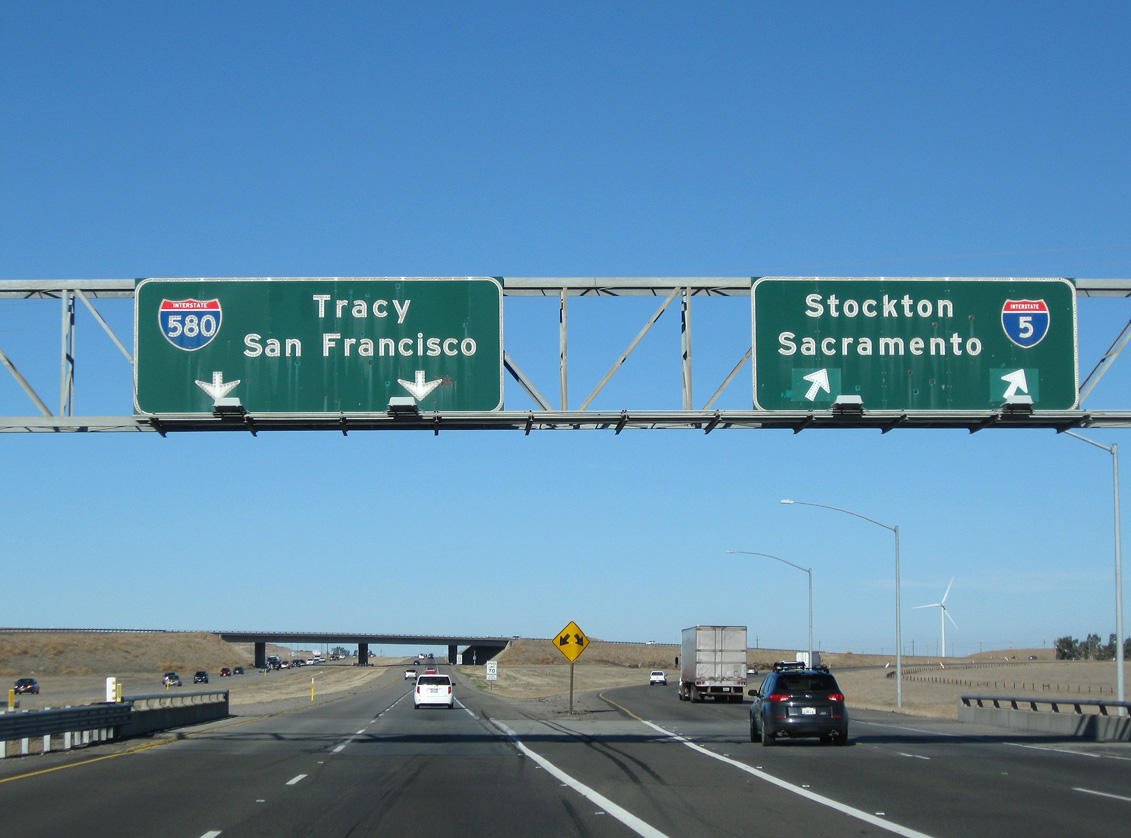
The northbound split of Interstate 5 with I-580 west is located in a fairly remote area. Despite that, traffic congestion is common on holiday weekends and at other peak periods along the four-lane freeway. Photo taken 11/25/10.
South at
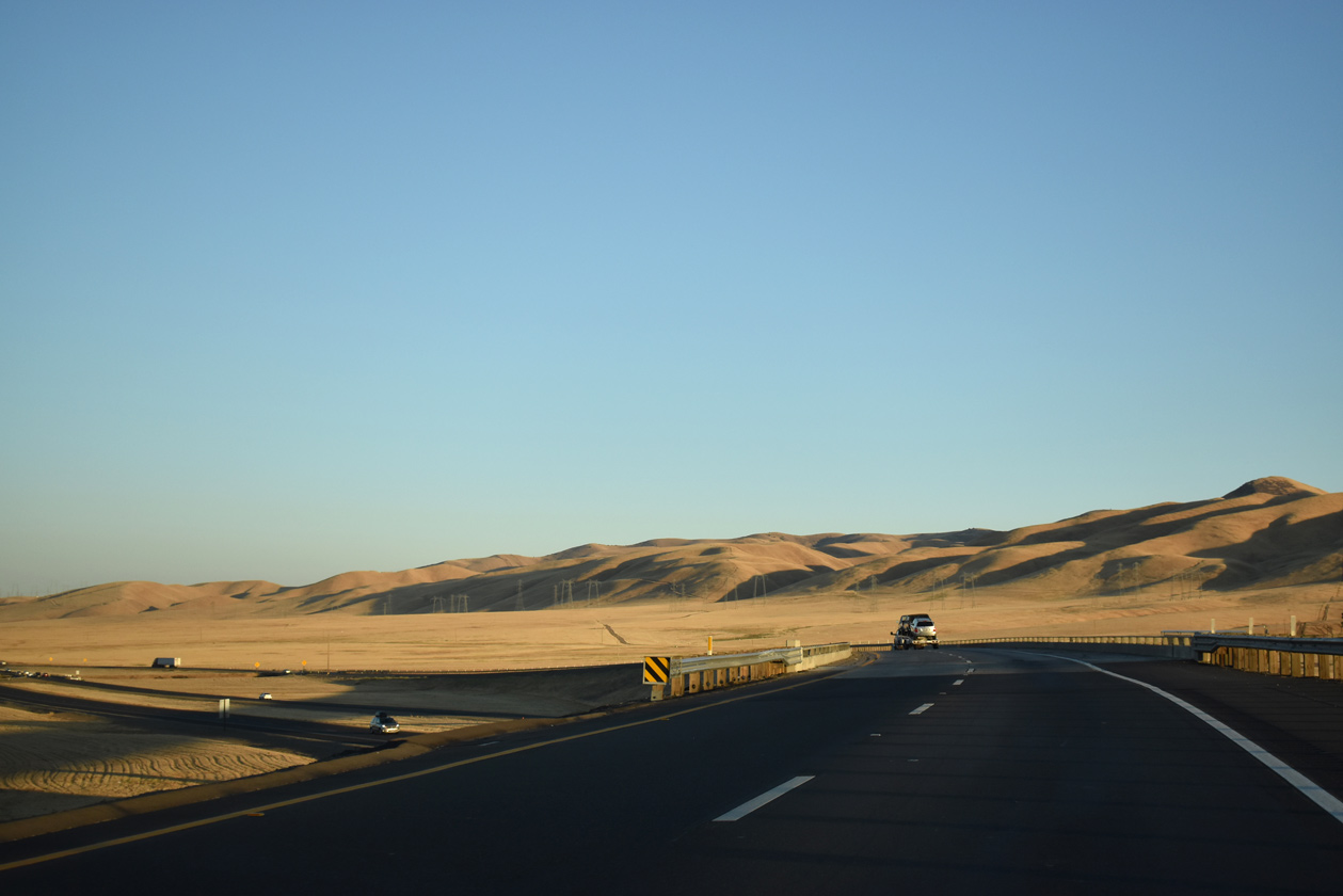
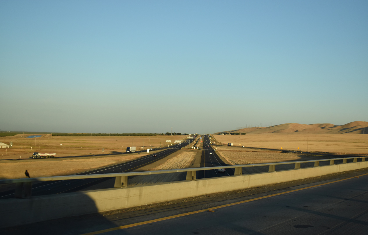
Interstate 5 converges with I-580 east along the Diablo Range foothills southwest of Vernalis. 07/11/18
West End  ‐ San Rafael, CA
West at
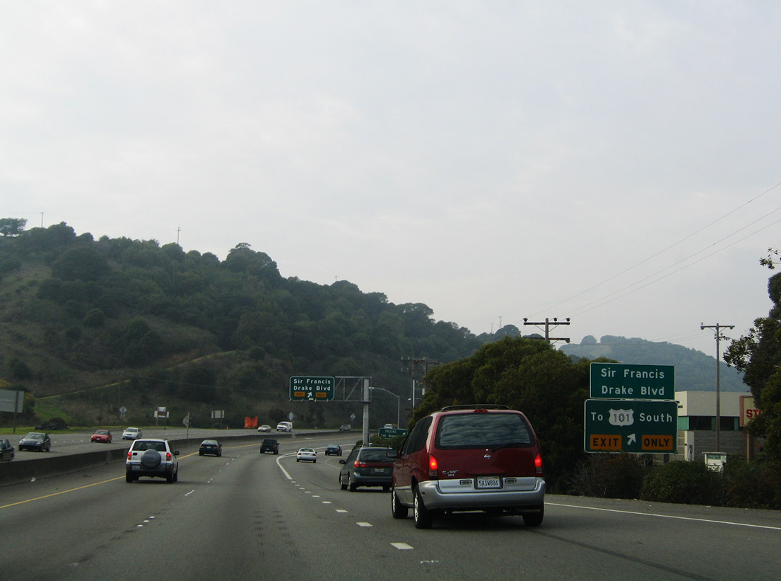
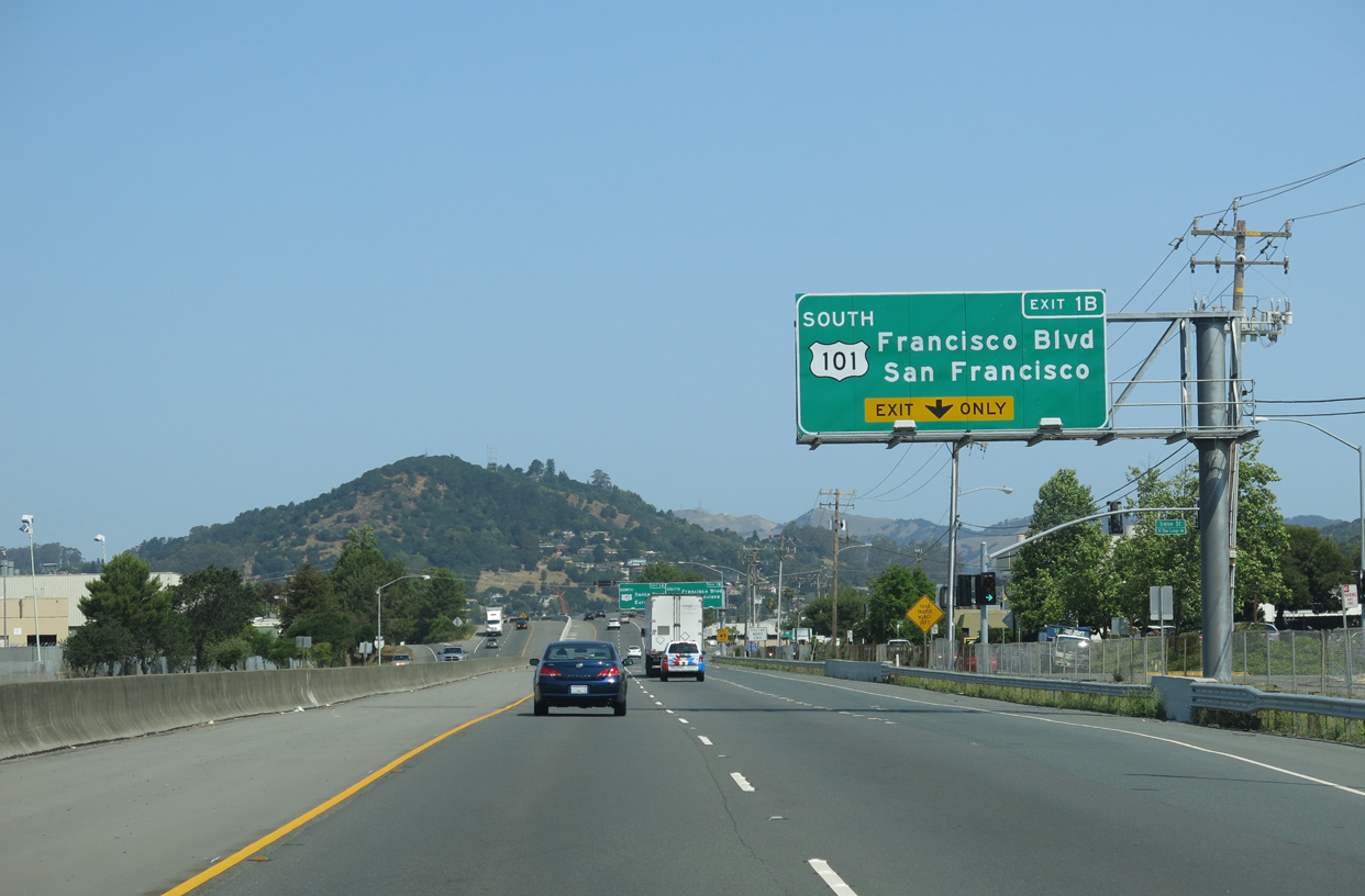
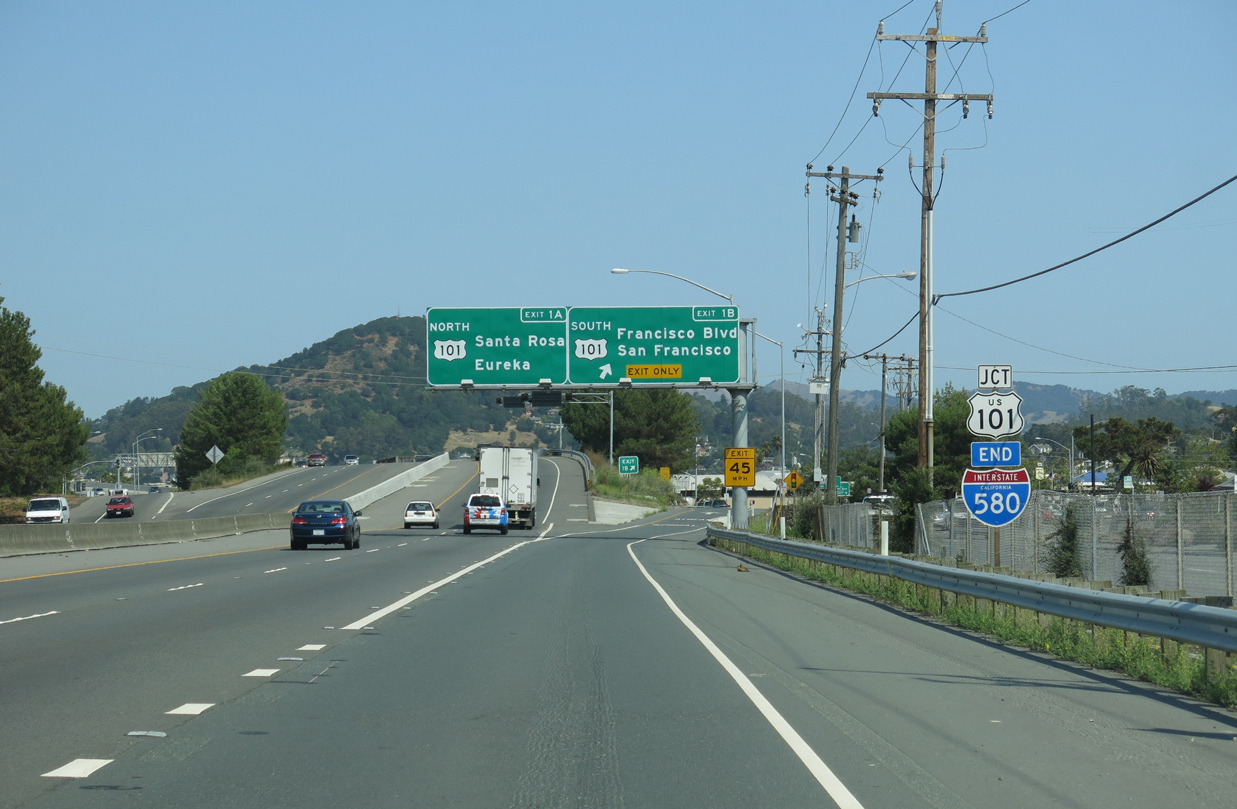
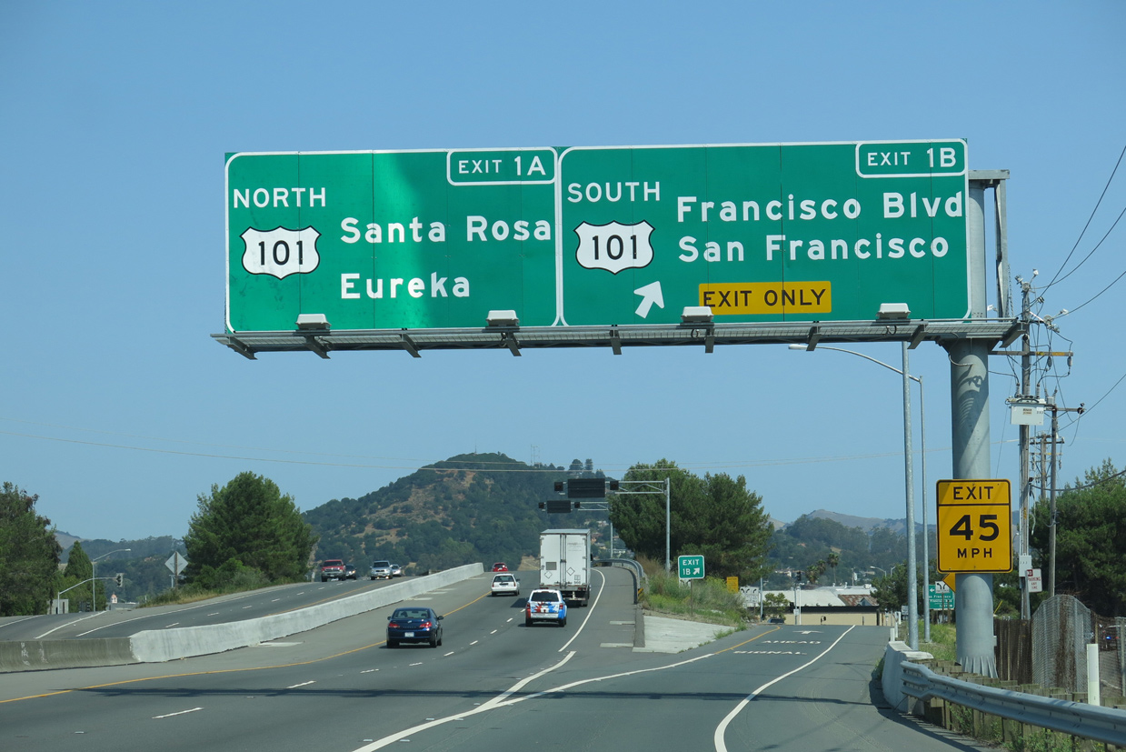
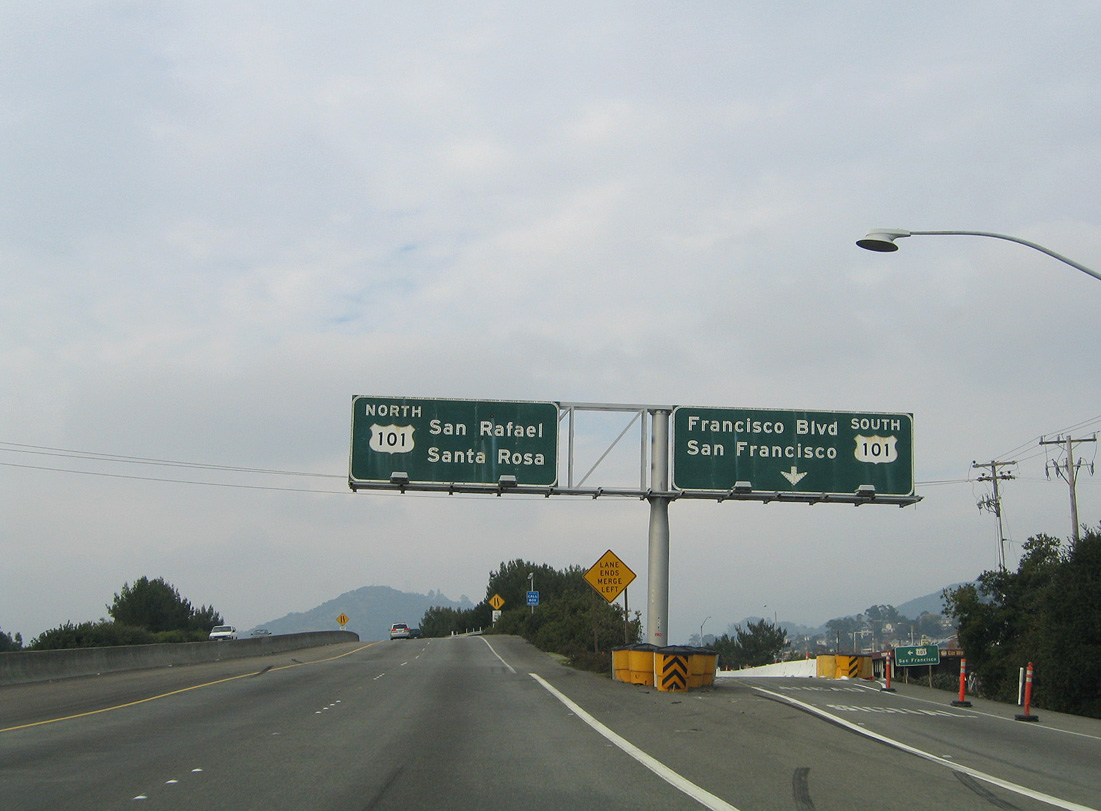
Due to the wye interchange at the west end of I-580, motorists headed to U.S. 101 south are directed onto Sir Francis Drake Boulevard at Exit 2 A. The boulevard winds two miles west alongside Corte Madera Creek to connect with U.S. 101 south to San Francisco. 11/26/04
South at
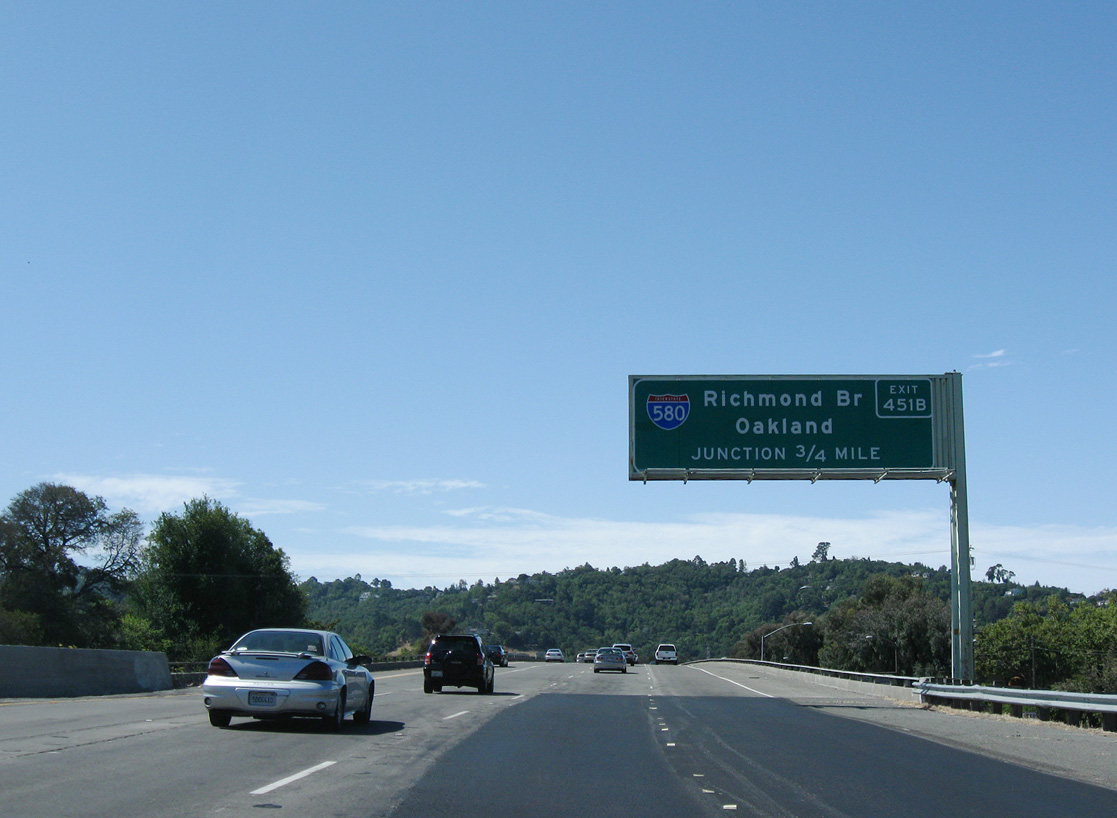
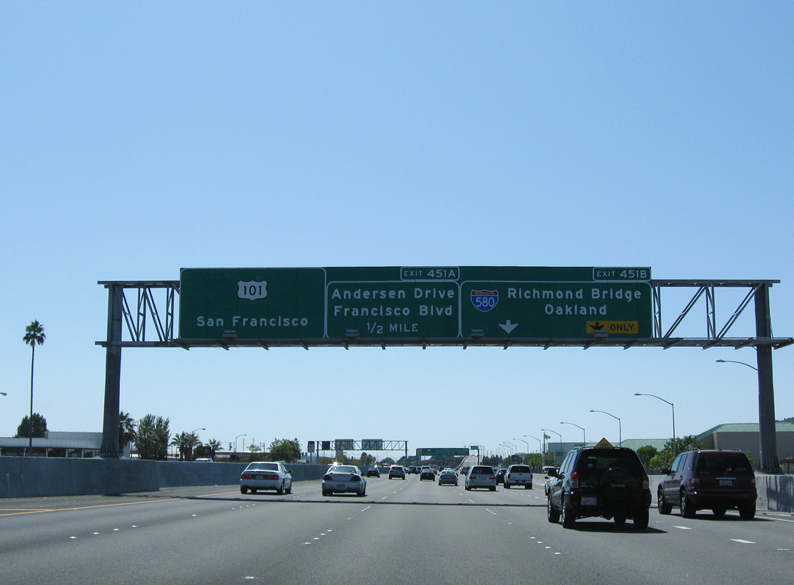
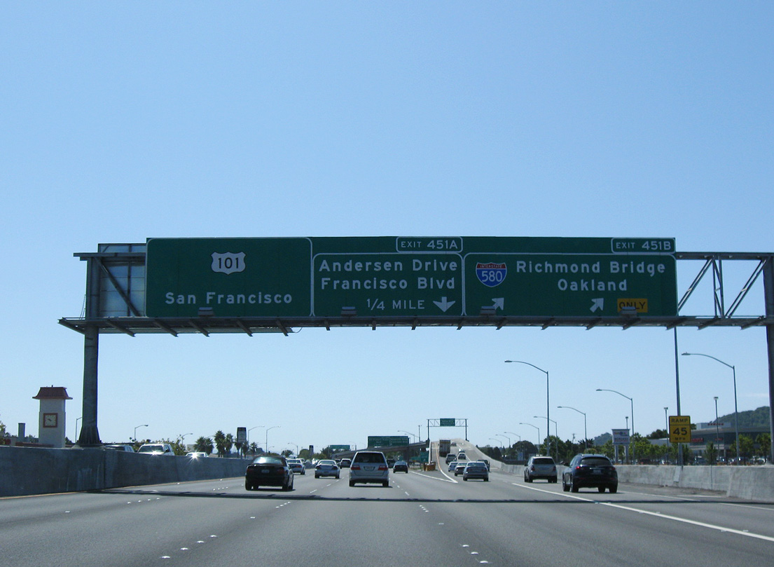
U.S. 101 spans the San Rafael street grid along a viaduct system 0.75 miles north from Interstate 580. Photo taken 07/18/09.
North at
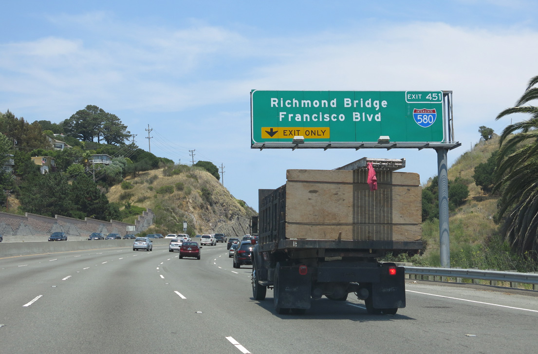
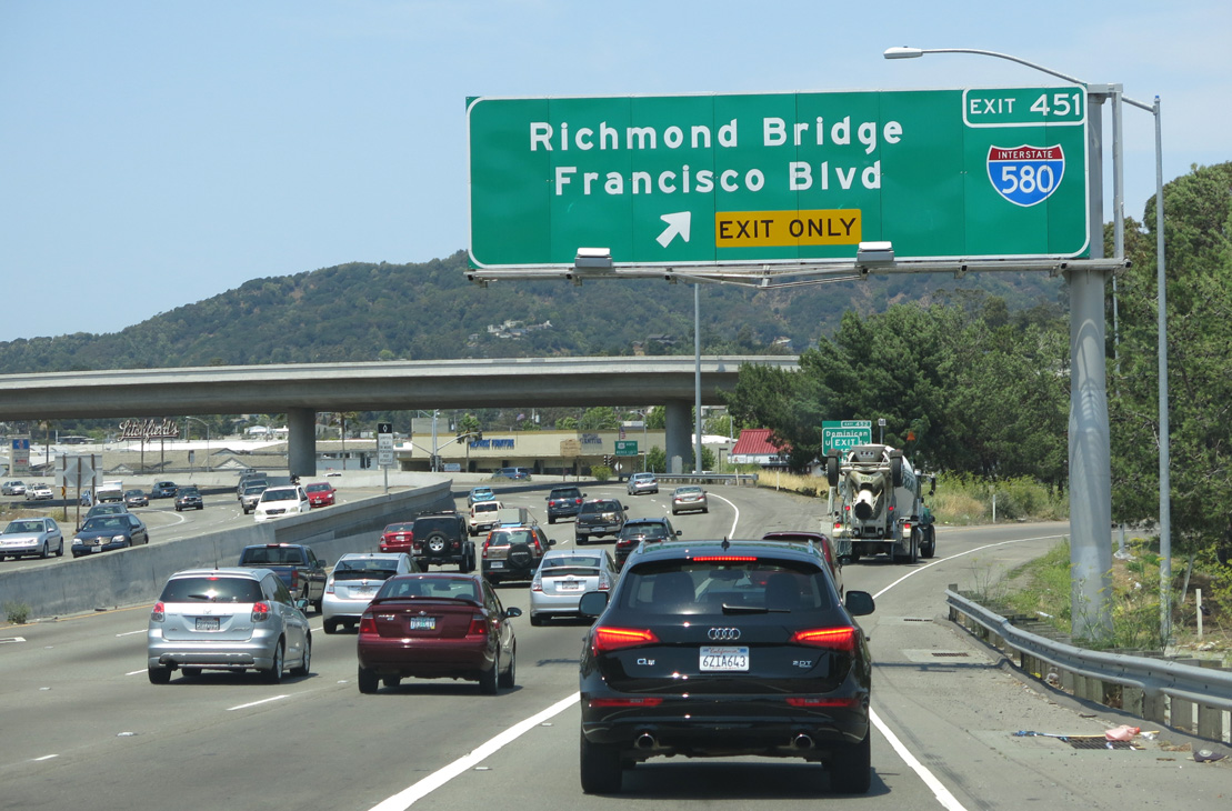
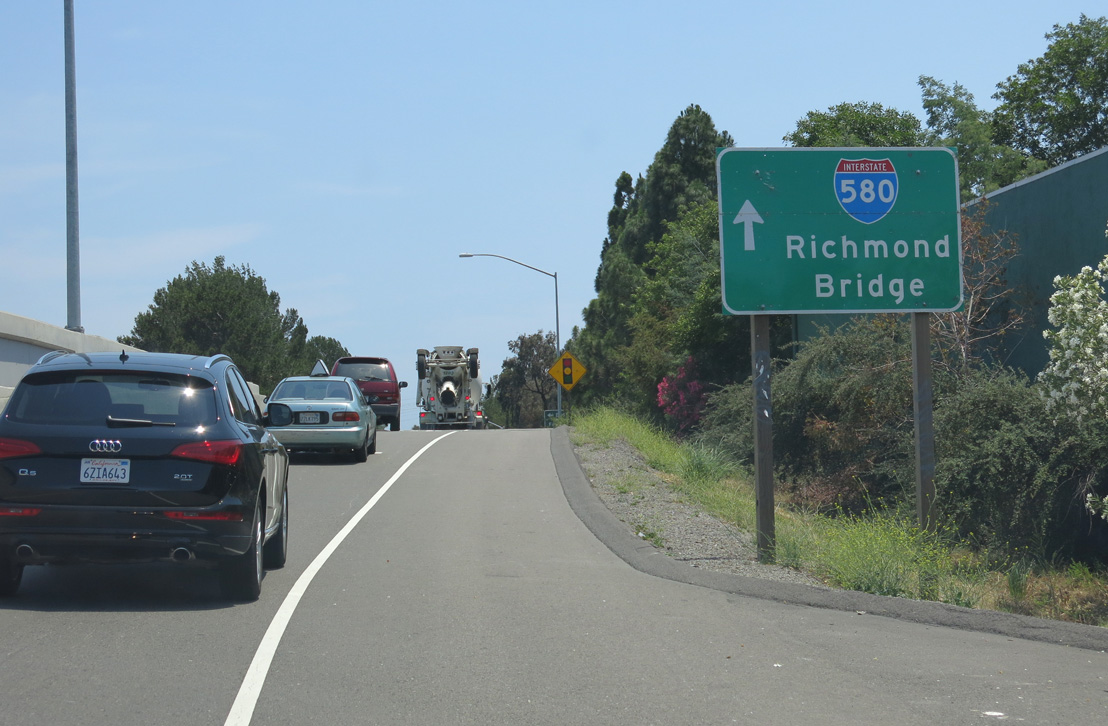
U.S. 101 weaves around Southern Heights Ridge leading into the partial interchange (Exit 451) with Interstate 580. 07/02/13
References
- Caltrans (California Department of Transportation). California Celebrates 50 Years of the Interstate Highway System. Retrieved from http://www.dot.ca.gov/interstate/