Interstate 564 Virginia
Overview
Interstate 564 is a short spur from I-64 and U.S. 460 (Granby Street) west to Naval Station Norfolk (NSN) in northern Norfolk. Known as Admiral Taussig Boulevard, the six lane freeway passes through a 680 foot long tunnel below a NSN runway (Kozel, 2003). Prior to 2018, interchanges along I-564 were unnumbered.
Mileage by State
| Virginia | 2.77 mi |
Data Sources
December 31, 2025 Interstate Route Log and Finders List
I-564 Intermodal Connector
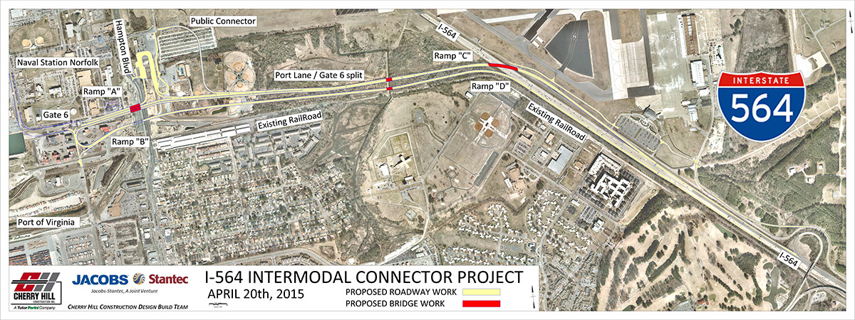
The I-564 Intermodal Connector is a 2.82 mile long limited access road extending west from Interstate 564 to the Virginia Port Authority's North Gate Terminal. The $175.6 million project was constructed from Summer 2015 to Fall 2018. Work included building a wye interchange (Exit 1) along I-564, reconfiguring the Commercial Vehicle Inspection Station (CVIS) for Naval Station Norfolk (NSN), and relocating Gate 6 and Patrol Road at NSN. The roadway diverts heavy truck traffic from Norfolk city streets to the port facility (VDOT, 2017).
History
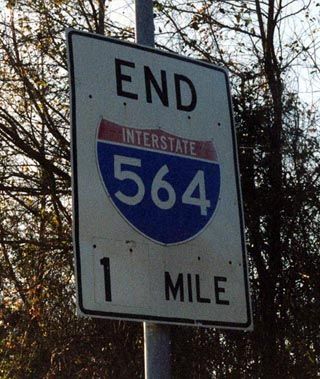
Interstate 564 opened in three stages. The initial 0.79 mile stretch linked I-64 with SR 406 (Terminal Boulevard). It opened on June 1, 1971. The subsequent 0.46 miles opened on November 20, 1974, followed by completion of I-564 to SR 337 at Norfolk Navy Base on August 4, 1977 (Kozel, 2003).
I-564 replaced Virginia State Route 170, which formed a multi state route with NC 170 south from Norfolk to northeastern North Carolina. West of I-564, SR 170 crossed a ferry to Hampton Roads, where it headed west along what is now Interstate 64 to SR 30 northwest of Williamsburg.
Third Hampton Roads Crossing
The Hampton Roads Crossing Study (HRCS) addresses traffic congestion between Norfolk and Hampton along Interstate 64. The study started in 1991 and Candidate Build Alternative 9 included a mid-span spur from the Monitor Merrimac Memorial Bridge Tunnel (MMMBT / I-664) east to Interstate 564. Estimated to cost $1.2 billion in 2000, the tunnel system for the Norfolk spur outlined three, two lane tubes, with one reserved for HOV and rail transit (Kozel, 2005).
The Final Environmental Impact Statement (FEIS) was published in 1999 and 2001, followed by a Record of Decision (ROD) from the Federal Highway Administration (FHWA) in 2001. Further studies took place, and in 2003 the FHWA and the Virginia Department of Transportation (VDOT) re-evaluated the FEIS, validating the previous decisions. A subsequent Environmental Assessment (EA)/Re-evaluation of the HRCS FEIS was issued by FHWA and VDOT in 2011. The Re-evaluation did not move forward due to fiscal restraints (VDOT, 2016).
FHWA and VDOT published the Hampton Roads Bridge-Tunnel (HRBT) Draft EIS in 2012, which focused on improvements for I-64. Candidate Build Alternatives 1, 2 and 9 from the 2001 FEIS were modified and re-evaluated as Alternative A, B and C respectively. The Commonwealth Transportation Board (CTB) identified Alternate A as the Preferred Alternative for the HRCS on December 7, 2016. Alternate A redesigns I-64 between I-564 in Norfolk and I-664 in Hampton as a consistent six lane highway, with a new parallel bridge-tunnel built along the west side of the existing HRBT (VDOT, 2016).
East End 

 ‐ Norfolk, VA
 East at
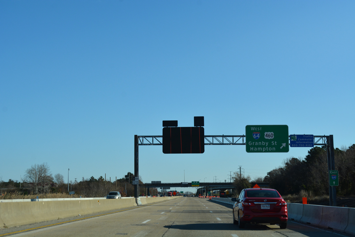
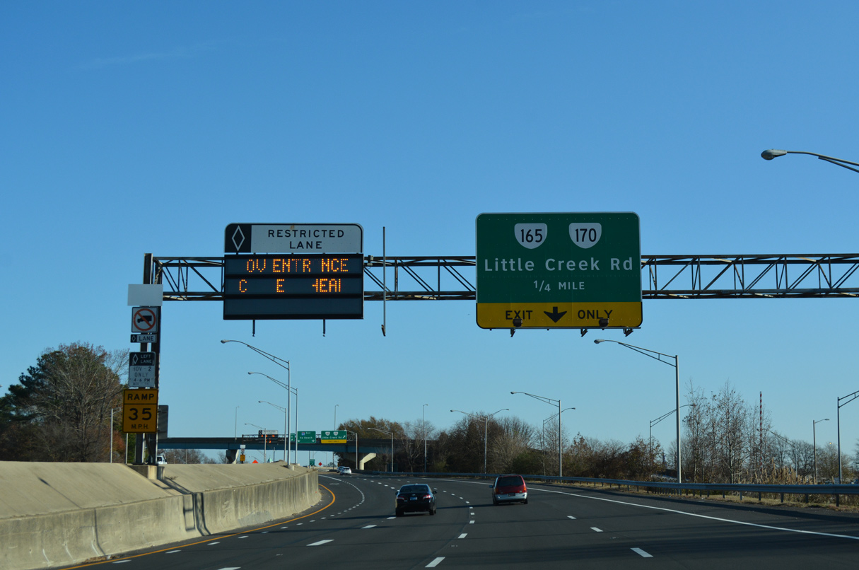
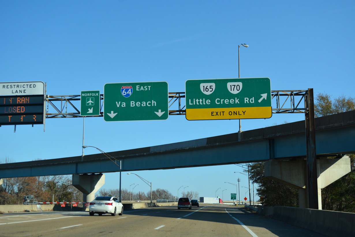
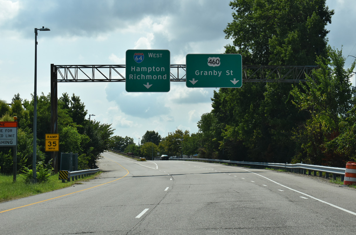
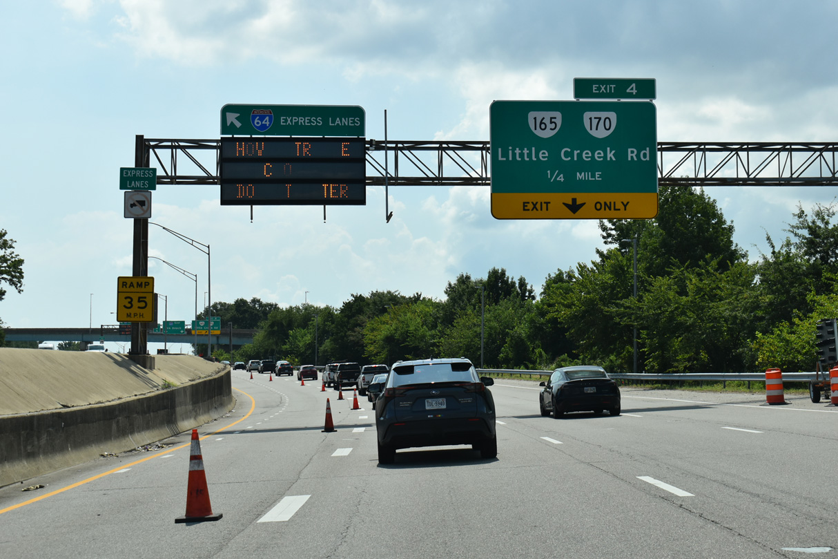
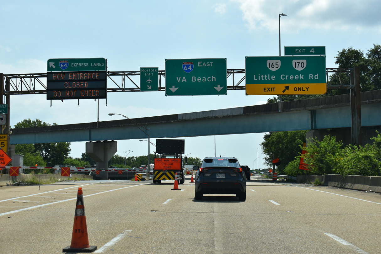
The Intermodal Connector east converges with I-564, one mile from Exits 3 A/B for I-64/U.S. 460. 07/29/25
West at
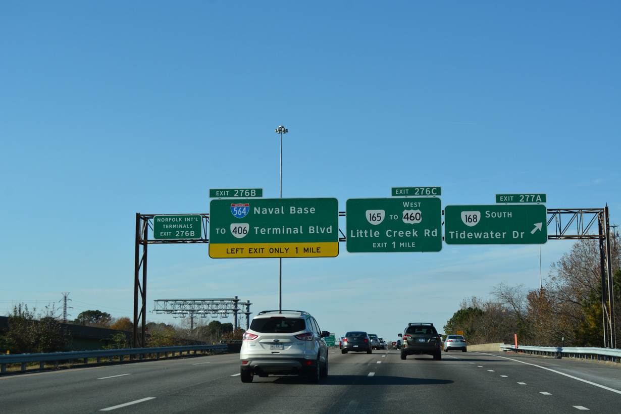
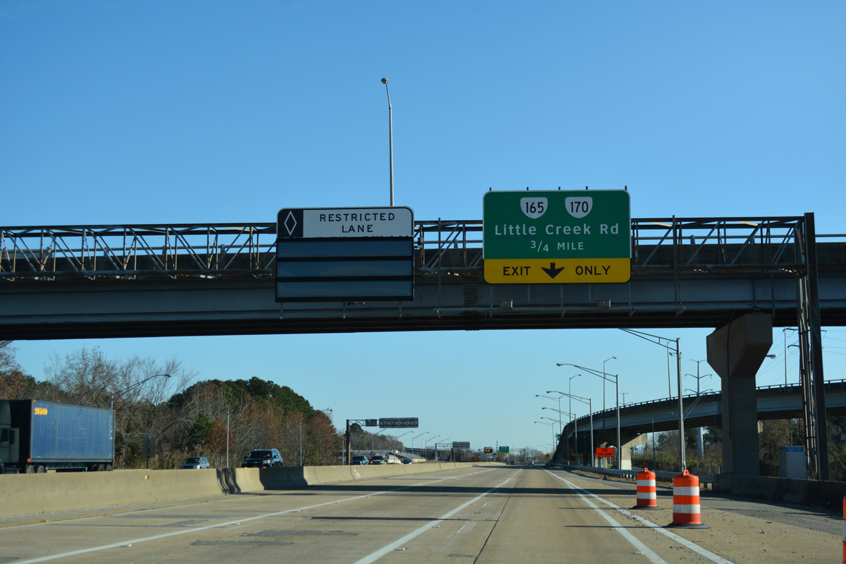
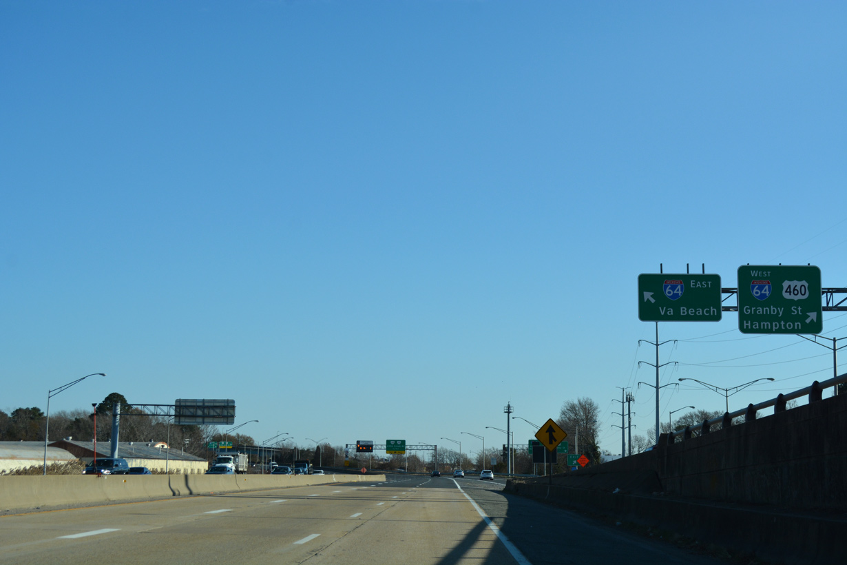
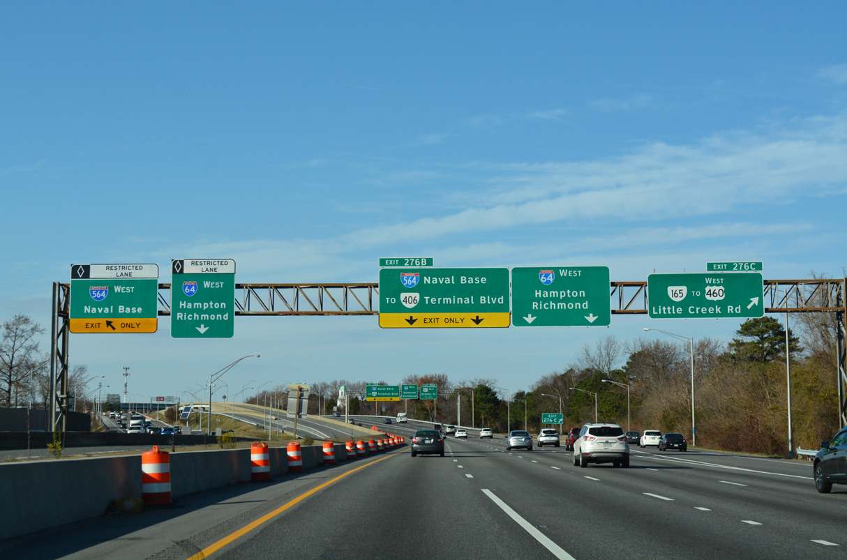
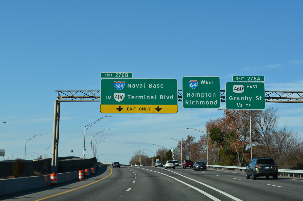
I-64 curves northwest one mile from SR 168 (Tidewater Drive) to Left Exit 276 B for Interstate 564 west to Naval Station (NAVSTA) Norfolk. 07/29/25
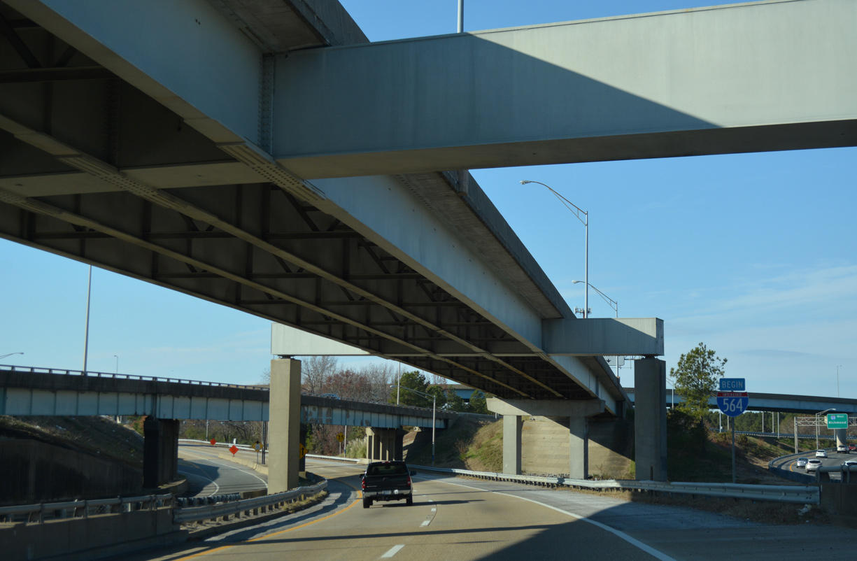
East at
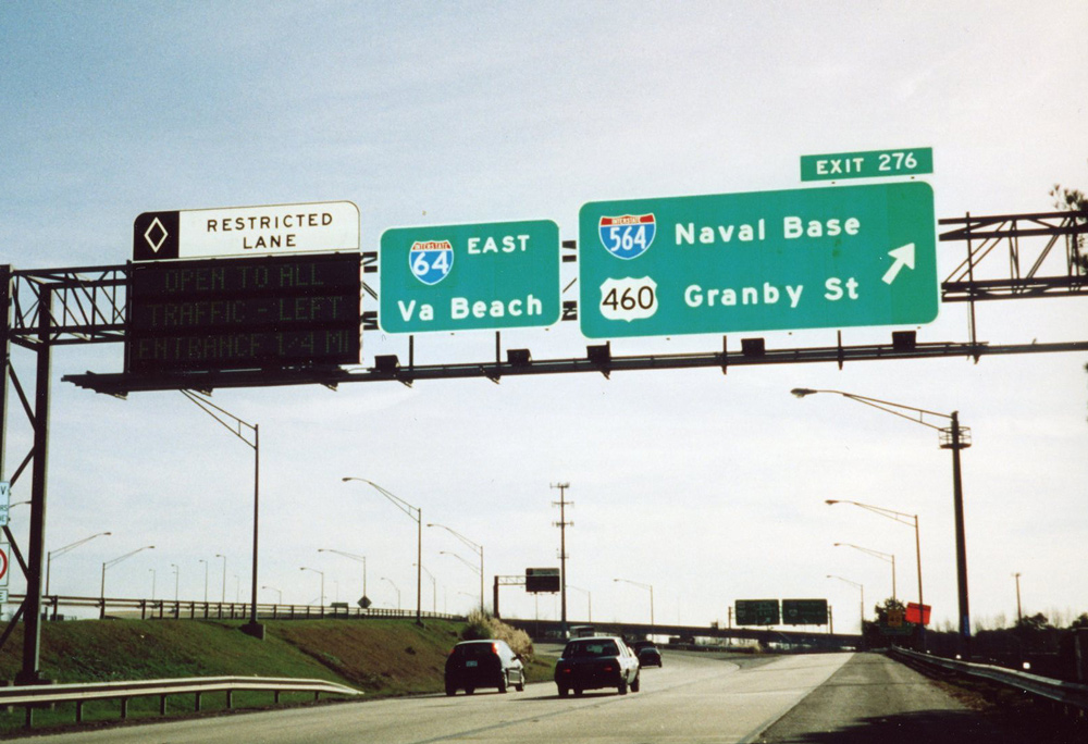
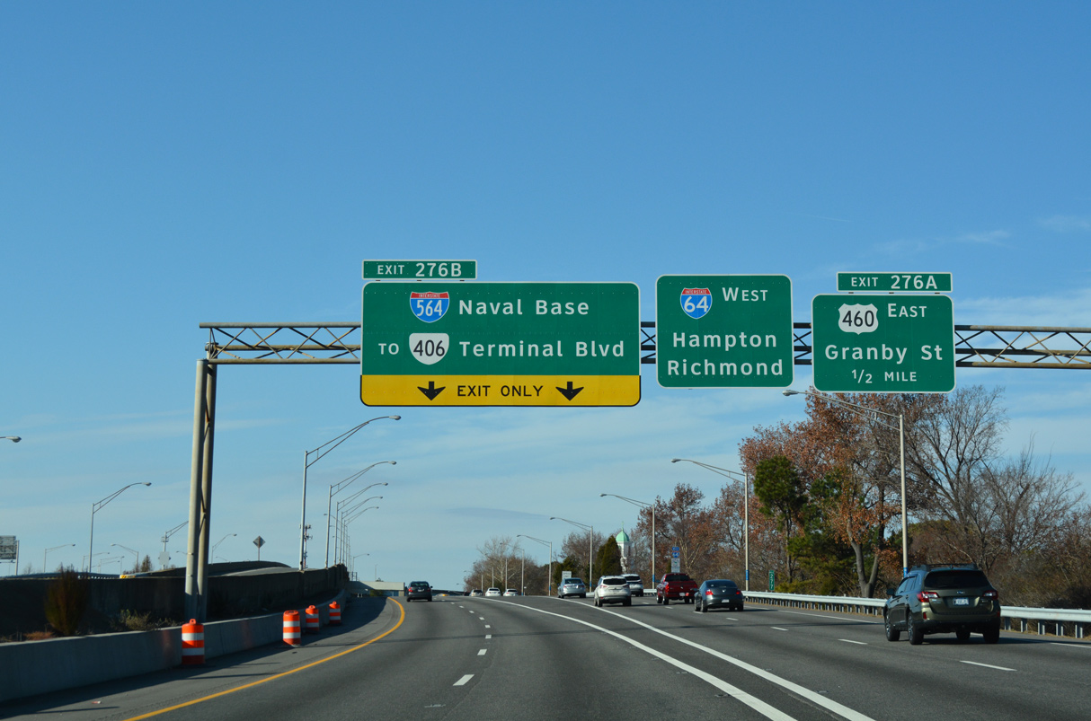
Exit 276 departs Interstate 64 east for both U.S. 460 (Granby Street) and I-564. U.S. 460 heads south from I-564 to the Riverview Historic District and Downtown Norfolk. 12/17/01
East End – Past Views
Past Views Gallery (Tap to Expand / Collapse Section)
East at
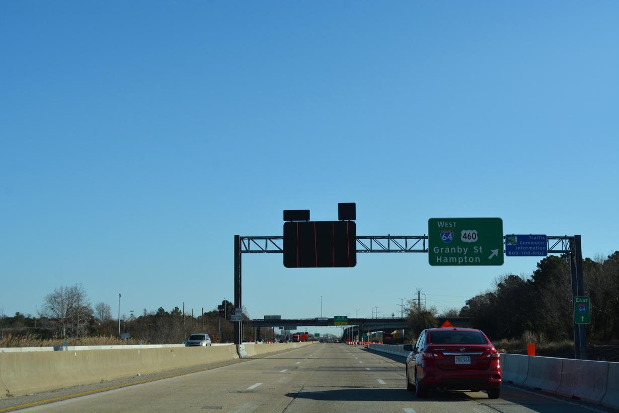
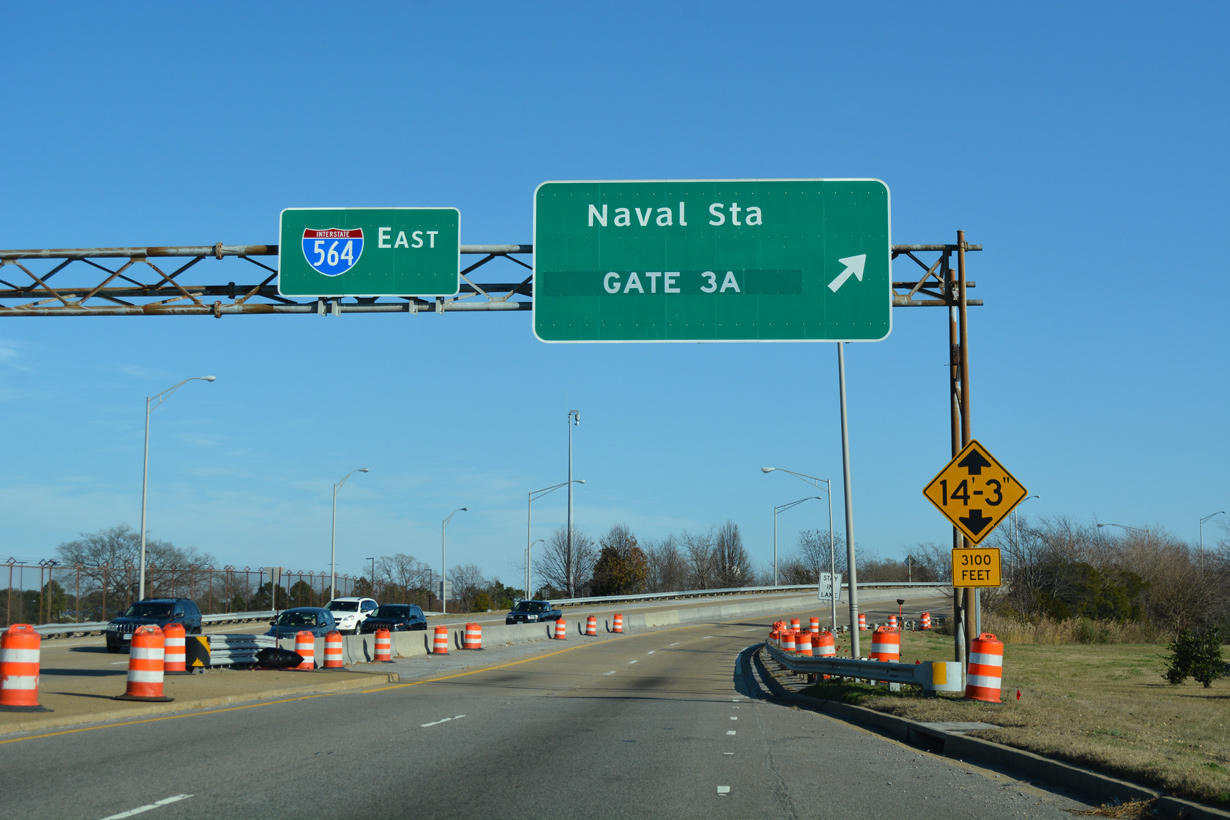
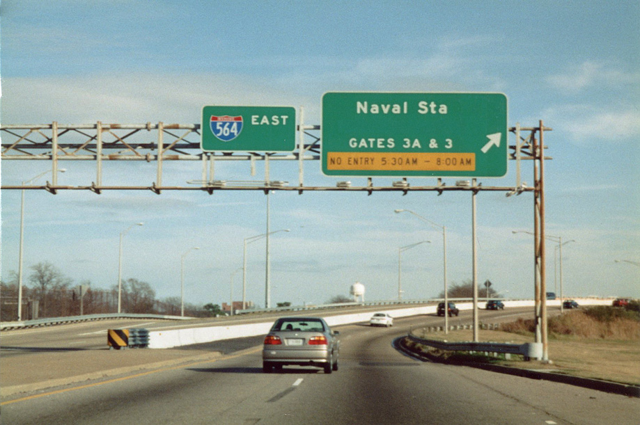
I-564 east at Exit 3 during previous road construction. 12/14/17
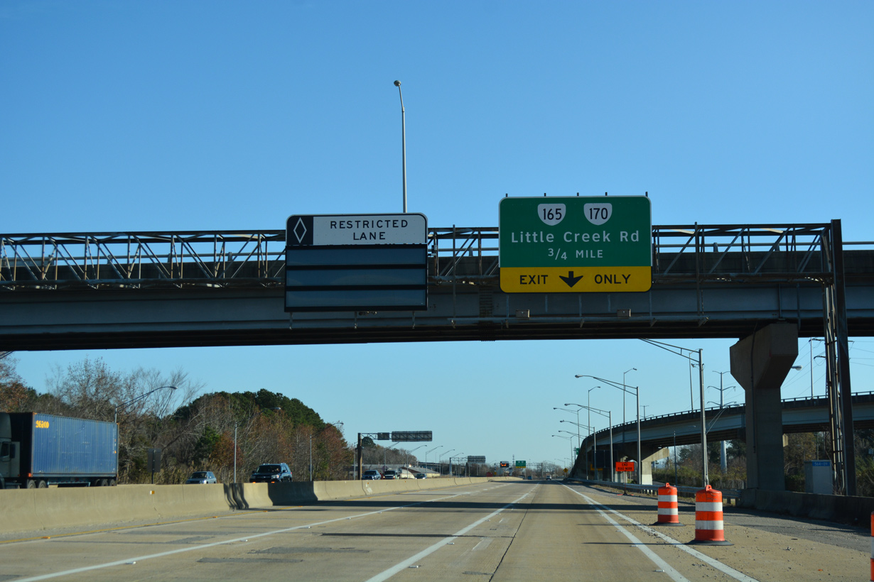
West at
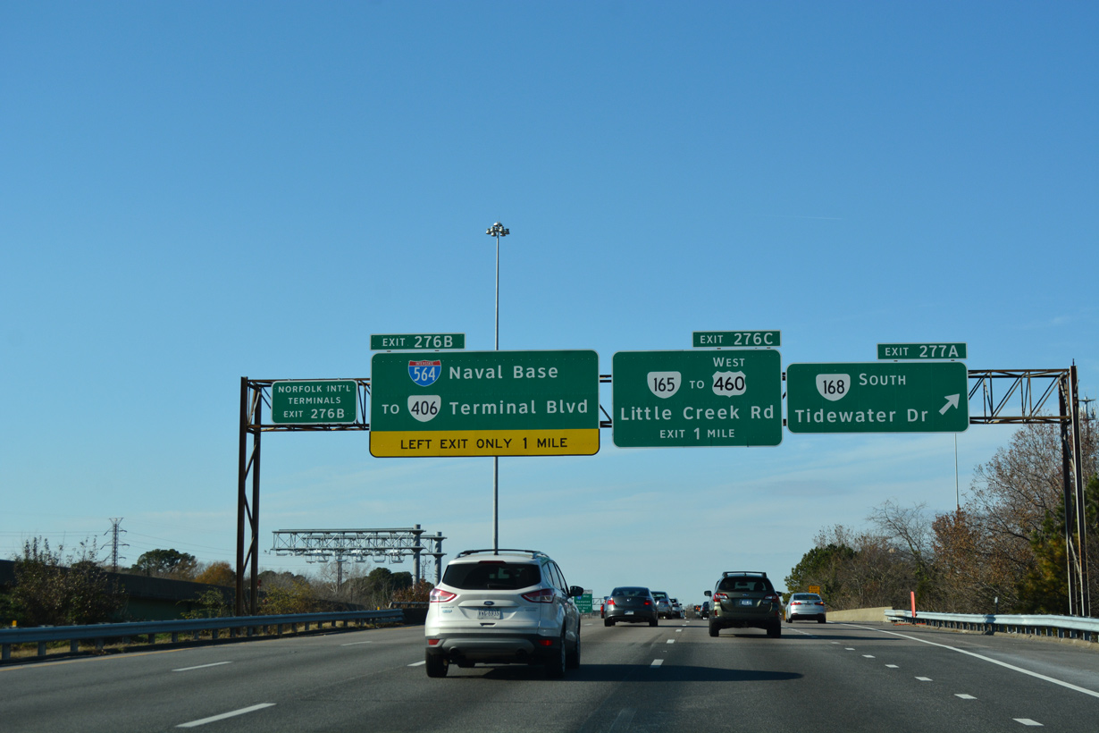
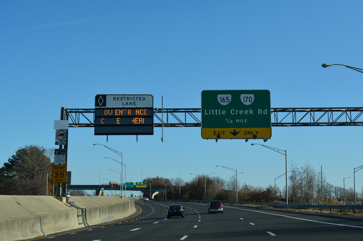
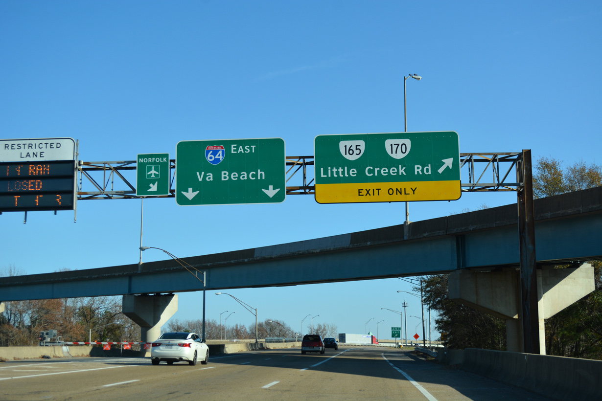
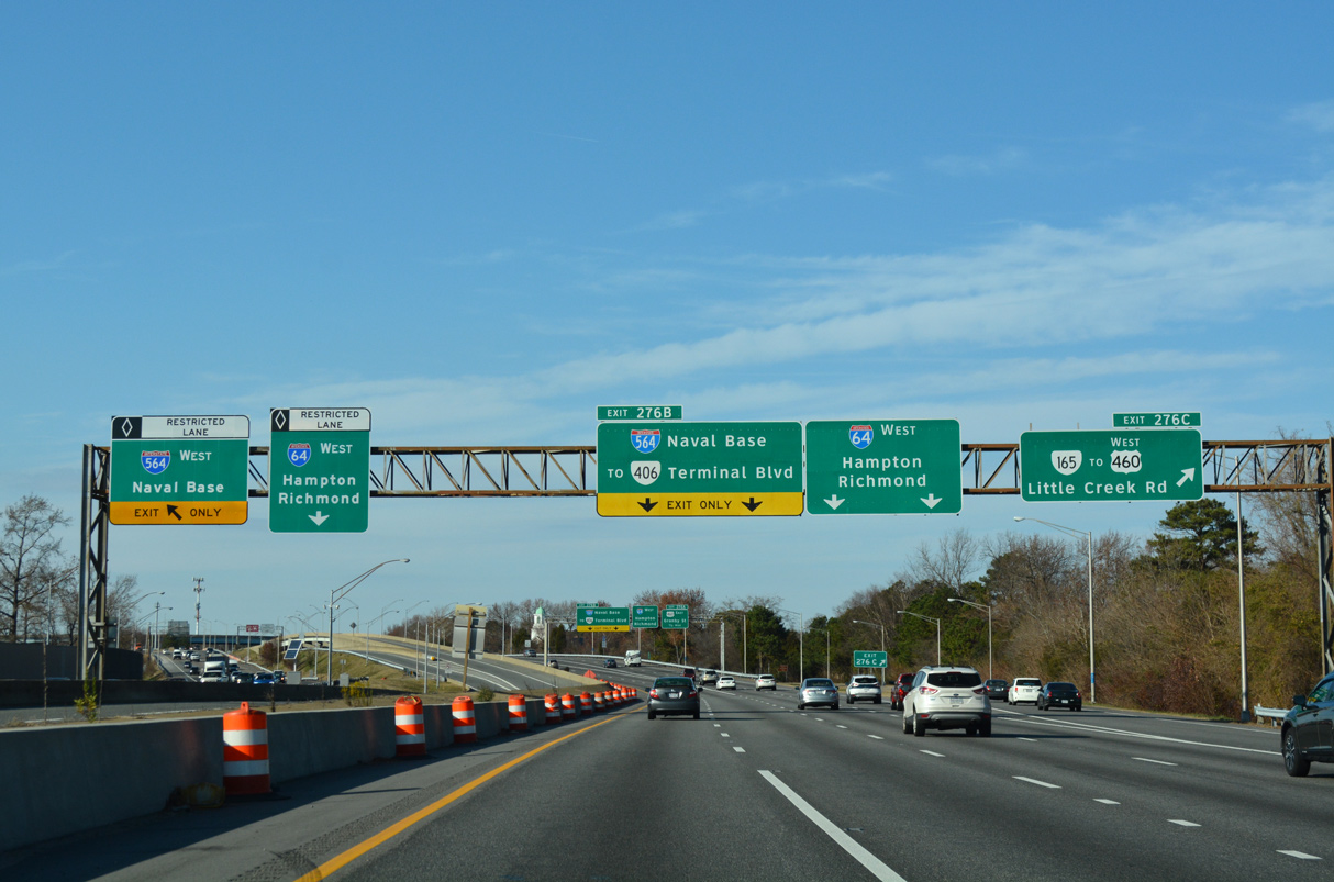
Overheads for I-564 on I-64 west referencing Naval Base were replaced to show NAVSTA Norfolk. 12/14/17
West End  / Admiral Taussig Boulevard ‐ Norfolk, VA
West at
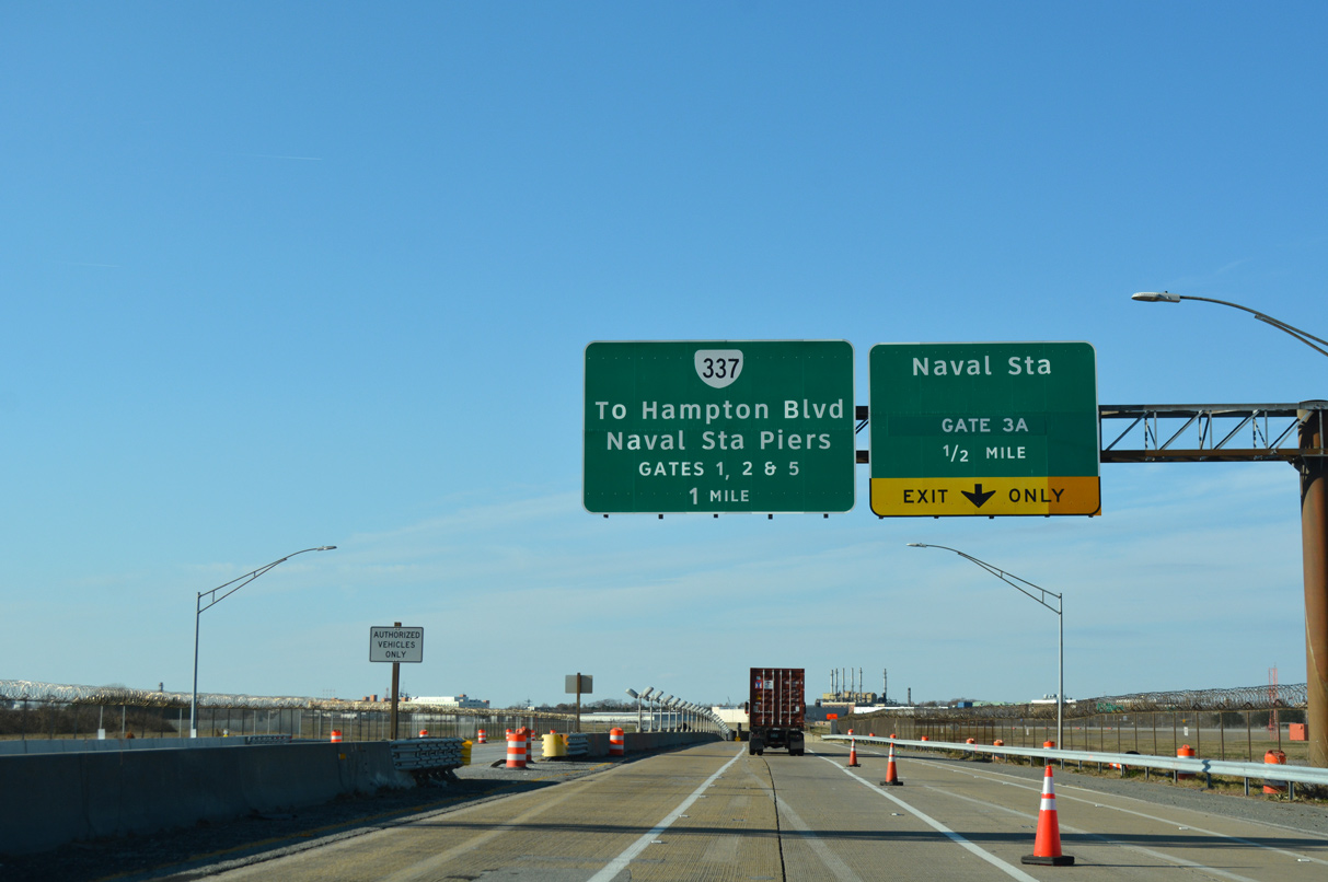
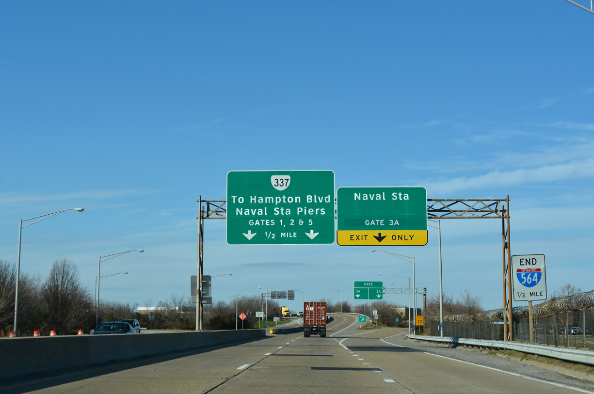
I-564 continues north from the Intermodal Connector to a tunnel beneath a Naval Station Norfolk runway. Ramps for Gate 3A and SR 337 (Admiral Taussig Boulevard) follow in a half mile. 07/29/25
East at
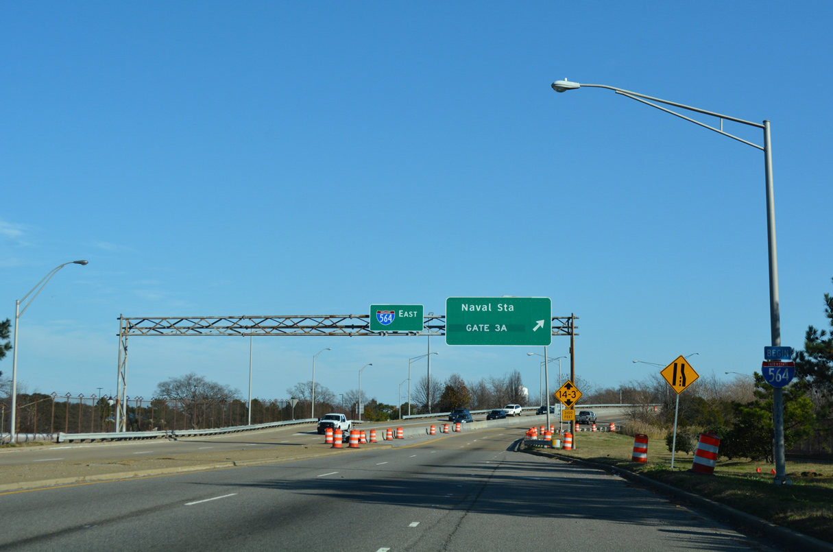
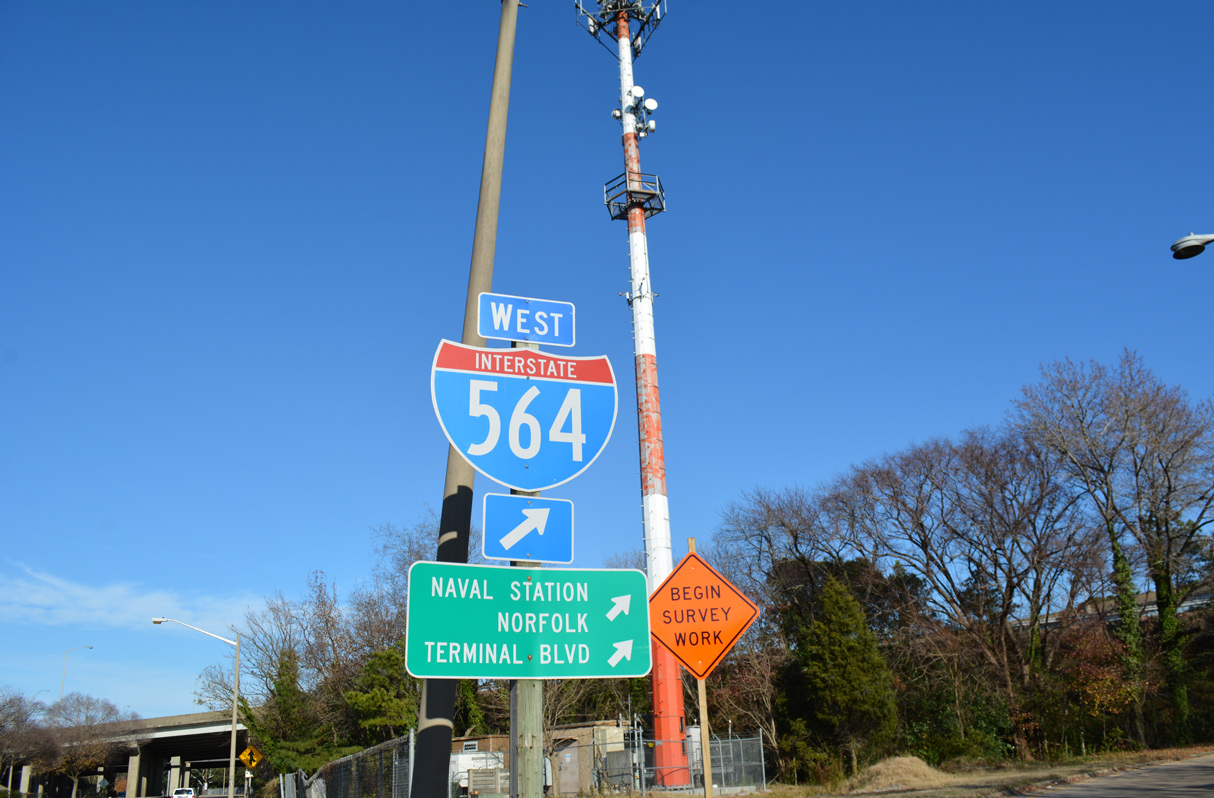
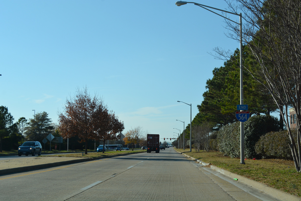
A begin shield for I-564 was placed along Admiral Taussig Boulevard eastbound in Summer 2002. 07/29/25