
Interstate 540 Arkansas
Overview
Beginning at U.S. 271 near the Oklahoma state line, Interstate 540 travels northeast through Fort Smith to I-40 at Van Buren. The urban spur bypasses both Downtown Fort Smith and the Van Buren city center while providing part of a regional route between Poteau, Oklahoma and Fayetteville via Interstate 49. Counter intuitive to standard Interstate numbering, mile markers and exit numbers along Interstate 540 increase southward from I-40 to U.S. 271.
Interstate 540 was truncated south from Bentonville to Van Buren on April 21, 2014 when a 30 day project commenced to replace signs north of I-40 at Alma with I-49.
Mileage by State
| Arkansas | 14.74 mi |
Data Sources
December 31, 2025 Interstate Route Log and Finders List
History
Originally commissioned as a spur from I-40 at Van Buren southwest into Fort Smith, Arkansas, Interstate 540 was signed with east / west cardinal direction banners. The designation was extended southward to the Oklahoma state line as approved by the American Association of State Highway and Transportation Officials (AASHTO) on October 28, 1978.
Interstate 540 was eventually extended northward along the corridor linking I-40 with the Fulbright Expressway (U.S. 71) at Fayetteville. Built in stages, the freeway was initially signed as Arkansas Highway 540. The Fayetteville bypass for U.S. 71 was previously completed in 1971.
The first segment of AR 540 opened to traffic in 1995 between Interstate 40 and Mountainburg. A subsequent extension lengthened the route north to Fayetteville in 1998. With major cuts through the Boston Mountains and the Bobby Hopper Tunnel, this freeway was considered an engineering marvel. Named for a former Arkansas Highway Commission director and located between Exit 34 (220) and 45 (231), the 0.3 mile long tunnel opened in 1999.
Arkansas initially requested designating AR 540 between I-40 at Van Buren and U.S. 71 Business north of Fayetteville as Interstate 49. AASHTO denied that request on April 25, 1997 and subsequently approved Interstate 540 for the corridor on November 14, 1997. A condition of the approval was that it would be initially signed as a future route.
The extension of Interstate 540 was made official on January 8, 1999, when the route was completed from I-40 north to Fayetteville. I-540 was signed with north/south cardinal directions along the new section to Fayetteville and resigned with north/sound banners along the original spur into Fort Smith. U.S. 71 remained independent of I-540 north of Alma along the Boston Mountains Scenic Byway to the east.
The AASHTO Route Numbering subcommittee approved further extension of Interstate 540 north from U.S. 71 Business to U.S. 62 in Rogers on April 7, 2000. Highway Commissioner Jonathan Barnett indicated on May 16, 20002 that the
ultimate goal is to upgrade the entire Highway 71 corridor in western Arkansas to an Interstate.
Interstate 540 was lengthened again in 2001 to the U.S. 71 / Exit 93 in the city of Bentonville (perhaps best known as home of Wal-Mart).
New interchanges were constructed in 2003-04 along I-540 north of Interstate 40. These included the folded diamond interchange (Exit 207 / old Exit 21) at Collum Lane (County Road 19) for the city of Alma and the exchange at Exit 268 (old Exit 82) with Promenade Boulevard.1
Efforts by the Missouri Department of Transportation (MoDOT) resulted in the conditional approval by AASHTO on October 15, 2011 to begin signing Interstate 49 along U.S. 71 between Joplin and Kansas City by December 2012. This action prompted Arkansas Department of Transportation (ARDOT) officials to submit an application at the Fall 2012 meeting of the AASHTO Special Committee on U.S. Route Numbering to redesignate all of Interstate 540 north of I-40 as I-49.6 Approval for the redesignation was granted by AASHTO on October 21, 2013.
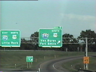
I-540 north from I-40 at Alma was renumbered to Interstate 49 in April 2014. This transferred 72 miles of I-540 to I-49 and eliminated the five mile overlap with I-40 between Van Buren and Alma. I-540 remains along the original spur into Fort Smith, as the future extension of Interstate 49 south will follow an easterly alignment toward Fort Chaffee. A seven mile section of future I-49 was eventually built between U.S. 71 and SR 22 at Barling.
North End 
 ‐ Van Buren, AR
 North at
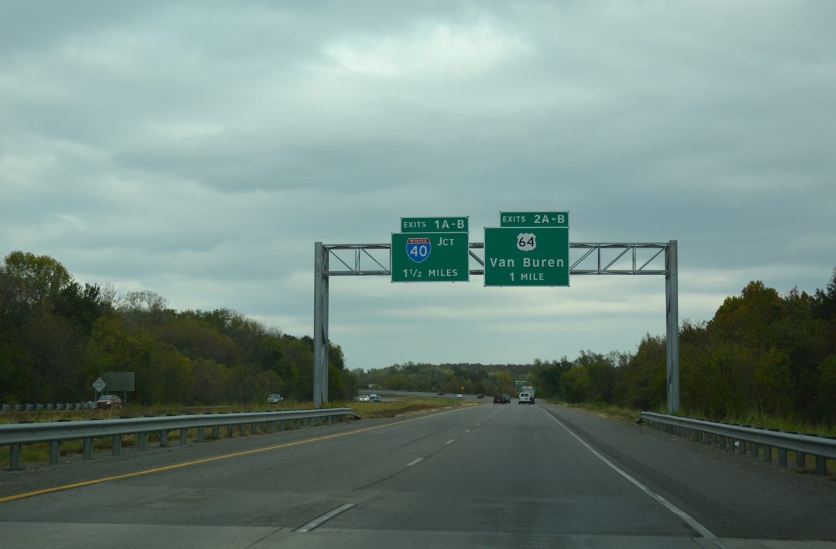
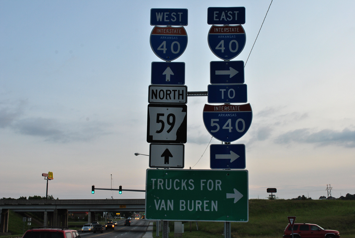
I-540/U.S. 71 curve northeast around Van Buren from AR 59 to U.S. 64/U.S. 71 Business and Interstate 40. 11/02/16
East at
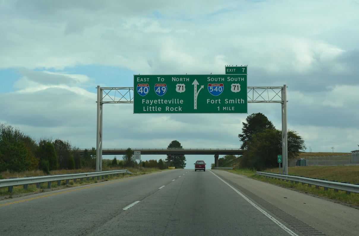
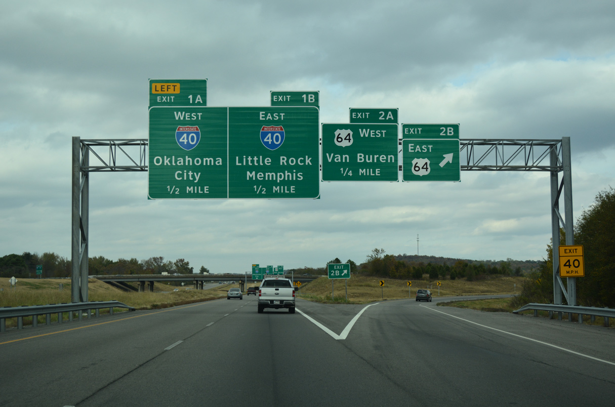
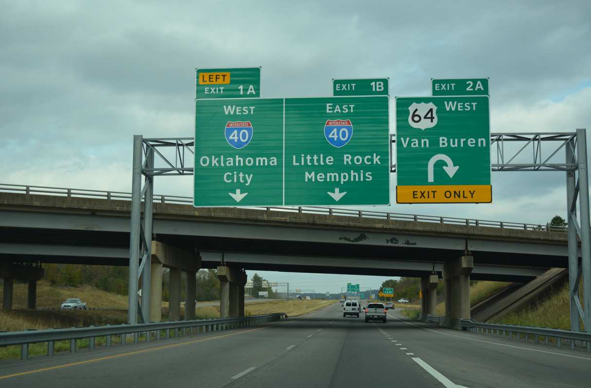
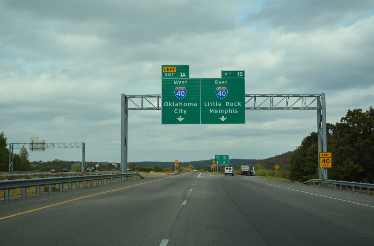
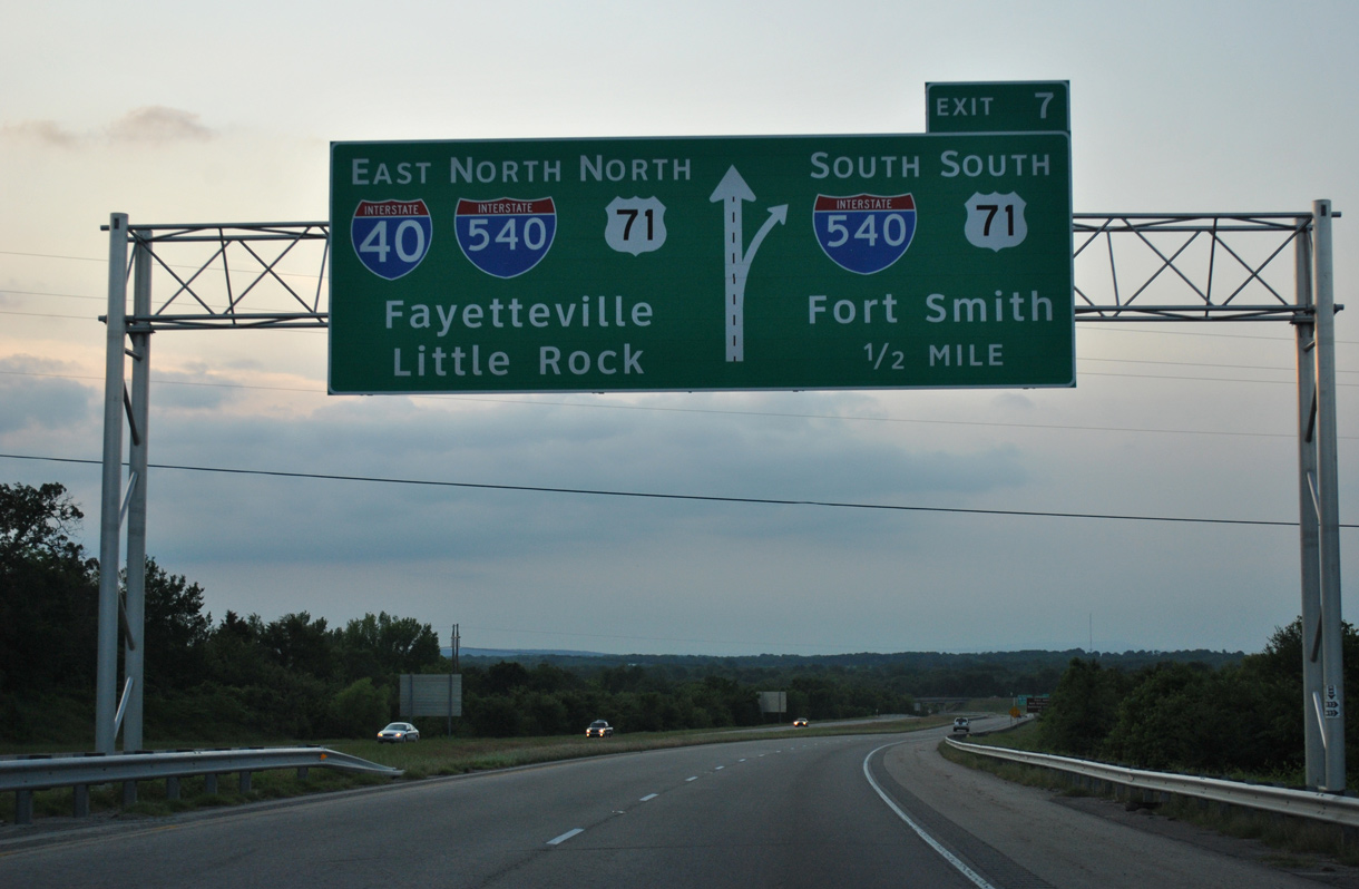
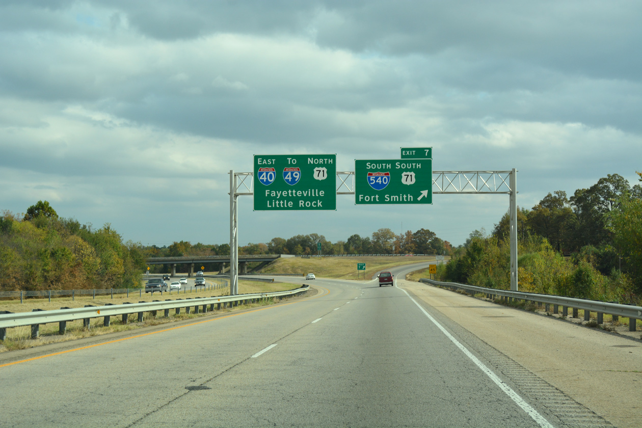
Interstate 40 travels across the north side of Van Buren east to I-540 south and U.S. 71. 11/02/16
West South at
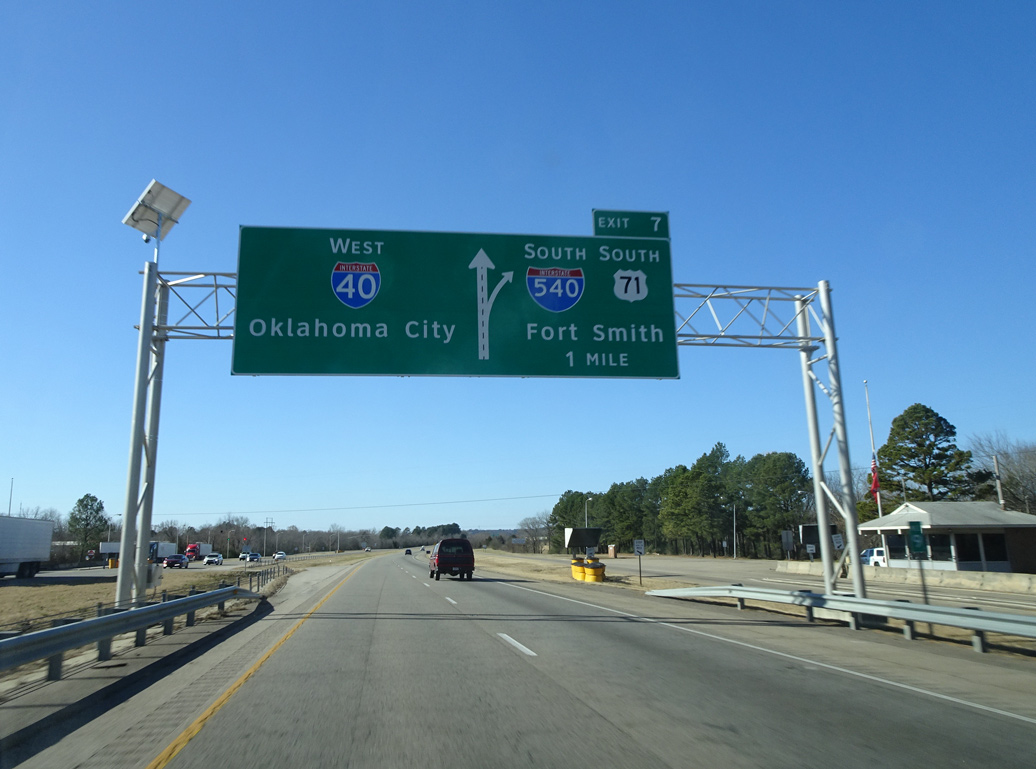
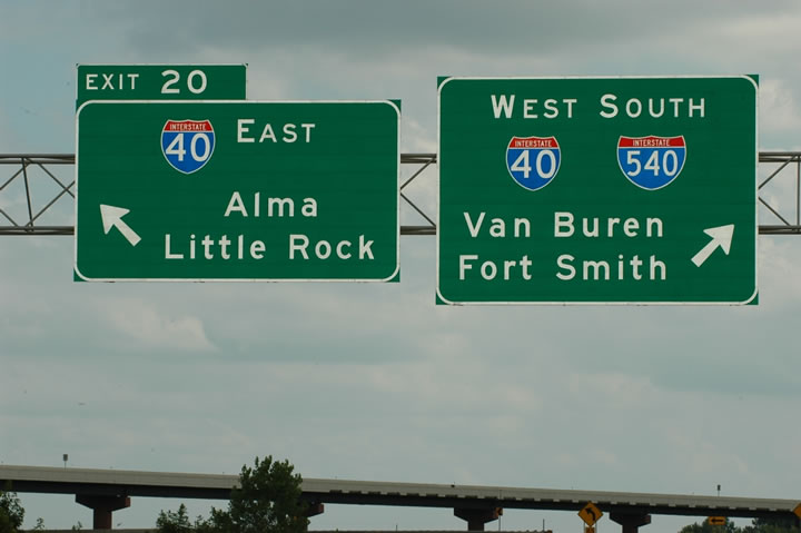
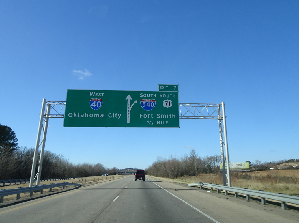
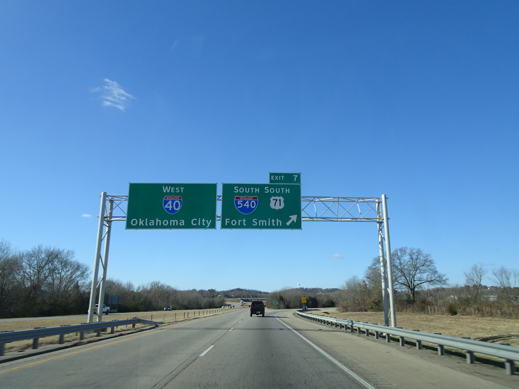
I-40/U.S. 71 west split one mile west of a weigh station at Interstate 540. U.S. 71 combines with I-540 south through Van Buren and Fort Smith. Photo by Eric Stuve (12/23/18).
South End 
 ‐ Fort Smith, AR
South at
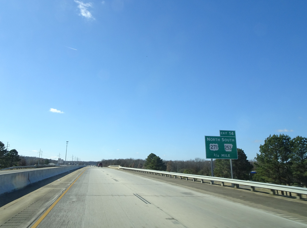
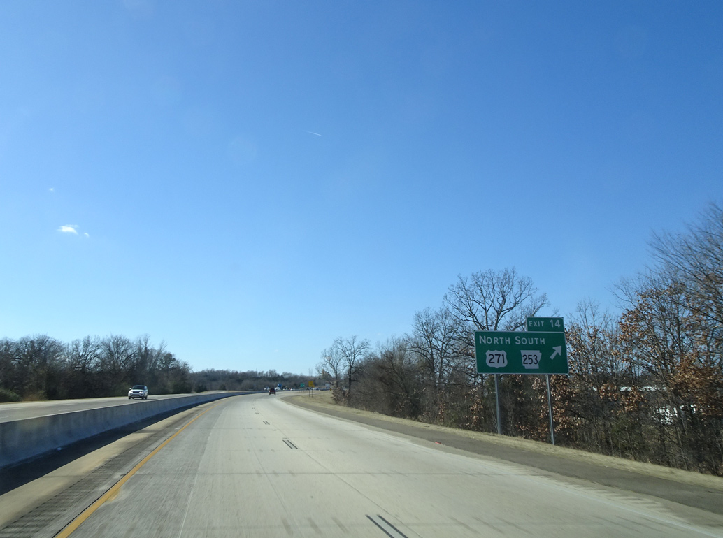
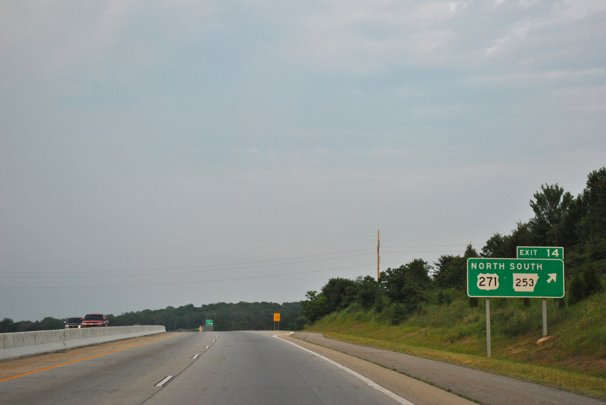
Interstate 540 south concludes at Exit 14 with U.S. 271 north into Fort Smith and AR 253 south to Bonanza. Photo by Eric Stuve (12/23/18).
North at
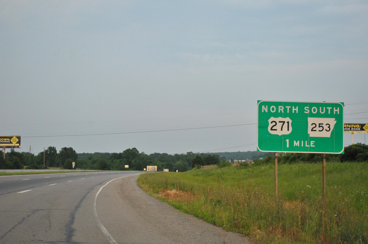
U.S. 271 crosses the Oklahoma state line just ahead of the diamond interchange with AR 253 south at Interstate 540. Oklahoma State Highway 9 concludes a cross state route from the Texas line near Badge here. 05/06/12
South at
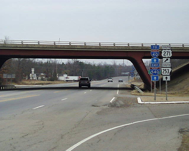
U.S. 271 turns west at the south end of Interstate 540 toward Le Flore County and the town of Spiro, Oklahoma. Photo by Martin McMahon (12/09/02).
North at
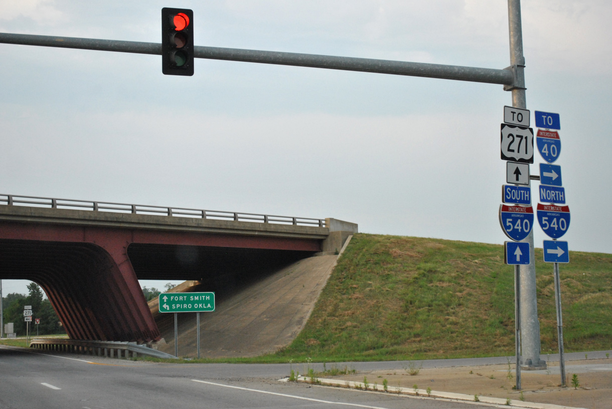
AR 253 runs 2.1 miles north from AR 45 near Gurisco Lake to Interstate 540 and U.S. 271 in Fort Smith. 05/06/12
References
- Backlin, David. "New Interchange u/c I-540 (AR)." Online posting, misc.transport.road, September 17, 2003.
- Arkansas Highway and Transportation Department (AHTD). (2000, May 16). Notice to Media: Interstate Designated in Arkansas. [Press release].
- Missouri Department of Transportation (MoDOT). Statewide Transportation Improvement Plan (2005-2009) - McDonald County. Retrieved from http://www.modot.state.mo.us/southwest/mac71overview.htm
- Tolls Won't Cover Bella Vista Bypass Costs, Highway Officials Say. (2007, September 19). The Northwest Arkansas Democrat-Gazette.
- Missouri gateway to Bella Vista bypass scrapped. (2007, October 15). Joplin Independent.
- "I-49 Shields Coming to Arkansas Soon?" online posting by Grzrd, AARoads Forum, August 7, 2012.